






Mountain Biking Trail 11: The Heights of Gaillac - Red
Castelnau de Montmiral is recognized as a "Grand Site Occitanie" and is one of "The Most Beautiful Villages of France." Its name means "Mount from which one sees," reflecting its strategic and dominant...
Castelnau de Montmiral is recognized as a "Grand Site Occitanie" and is one of "The Most Beautiful Villages of France." Its name means "Mount from which one sees," reflecting its strategic and dominant position that made it an impregnable site. The village's arcade-lined square, bordered by half-timbered houses, is as remarkable as its reliquary cross, a masterpiece of 15th-century goldsmithing.
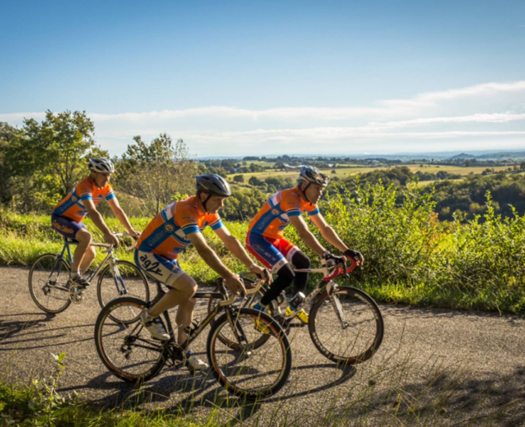

Starting from the Vère-Grésigne leisure center, you cross the road to warm up on a long gravel path that runs alongside the fields. You then climb up towards Castelnau-de-Montmiral. After leaving the village, you ascend to the plateau and cross into different hillsides near the hamlet of Vors. You continue along varied trails bordered by fields or vineyards. Reaching the GR46 trail, you cross the Broze woods and its hamlet, heading towards the village of Cahuzac-sur-Vère. You then return to the heights to head back towards Castelnau on the initial trail and finish your ride at the lake by the leisure center.
Intermediate
Oblíbené prohlídky v okolí
-
5.0
Chemin de la Vère au Saint-Hussou
středníTuristika 14.2 km -
Maraval Trail - Short Variant
středníTuristika 5.02 km -
Bike Route - C3 From Sainte Cécile to the Gaillac vineyard
světloSilniční kolo 38.6 km -
Sentier des dunes de Maraval aux Touardes
středníTuristika 8.57 km -
Grain of salt path (Chemin du grain de sel)
středníTuristika 10.8 km -
Mountain Biking Trail: Grande Boucle Bastides and Vineyards of Gaillac
heavyMountainbike 144.4 km -
Sentier de découverte de Les Cabannes "Sur les traces des bâtisseurs"
světloTuristika 2.63 km -
Conques Toulouse route - From Saint-Martin-Laguépie to Saint-Sulpice-la-Pointe
středníTuristika 84.3 km -
Tour du Tarn on horseback: Lisle-sur-Tarn / Puycelsi
heavyJízda na koni 28.4 km -
Vignoble et châteaux
heavyTuristika 17.4 km
Pěší turistika a stopování


Nenechte si ujít nabídky a inspiraci pro vaši příští dovolenou
Vaše e-mailová adresa byl přidán do poštovního seznamu.





