


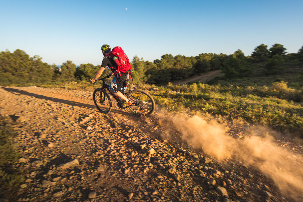
THE GARDIOLE MOUNTAIN BIKE TRAIL FOR EXPERIENCED CYCLISTS
Sportive, come and discover the treasures of the Gardiole by mountain bike while testing your physical abilities.

1
Entry via Mireval The start from Mireval is via a communal parking lot located near the Muscat cooperative winery. From the village center, among the heritage elements to see, the Sainte Eulalie de Mérida Church, a curious church embedded in the urban fabric, with a facade dominated by a "bell-tower porch" flanked by two staircase turrets and two side doors.
2
Entry via the Col de la Tortue Located at the top of Departmental Road 114, the Tortue parking is the main entrance to the Gardiole massif on the Montpellier side. A central point of the massif for many activities, it is notably the start of a hiking circuit focused on street art on tanks. Nearby is the Saumade sheepfold and a watchtower.
3
The Saumade sheepfold There are 2 sheepfolds left in the Gardiole. The New sheepfold and the Saumade, which housed the ONF workers' teams for many years. It is currently used occasionally to host cultural and environmental events.
4
Mare Farlet A pond in the middle of the garrigue is an oasis. Sheep come to drink there, wild boars roll in the mud, leaving their footprints and hair traces, dragonflies and amphibians reproduce there: marbled newts, common toads, spadefoot toads. So take a break yourself to observe this little world.
5
Entry via the Saint Félix de Monceau Abbey The oldest and most important part is Romanesque style. It is built of cold stone. This is the gray hard limestone, locally quarried in the Gardiole. The Gothic church, added later, is made of shelly limestone, softer, with warmer tones, from the Jalargues quarry in Cournonsec.
6
Landscape reading table towards the plain of Fabrègues /Poussan Between the last slopes of the Gardiole Massif at your feet, and the Moure hills in the distance dotted with wind turbines, stretches the inhabited and cultivated plain. Imagine the very young Mediterranean Sea, about 20 million years ago, advancing as a sea arm, isolating the Gardiole and depositing sediments rich in giant oysters and shark teeth. Until World War I, this fertile plain was cultivated by large landowners. Small farmers had invested in the arid slopes of the Gardiole, cleared their poor plots of stones, building dry stone walls and huts. Sheep herds roamed the garrigue. With cooperative viticulture, the plain returns to small owners, the vine dominates, and the last parcels of garrigue are abandoned.
7
Tanks in the massif To put out a fire at its start, after 1 minute, a bucket of water is needed; after 10 minutes, a fire truck is necessary! These 30,000-liter tanks are used for rapid intervention. Water trucks refill them as needed. In the Gardiole, some tanks have been spray-painted by an artists' association named Line up.
8
A pond below Natural ponds and hunters' ponds. These water points are fragile biodiversity sites. Amphibians, odonates, birds and other animals come here to find refuge.
9
Pine groves planted in the garrigue The 'racine' mission was created in 1963 to carry out large projects to develop the Mediterranean coast until 1983. To support this development, reforestation operations were planned, especially to combat erosion of the massif.
10
Airstrip About 500 meters long, it is a forest airstrip created by the Hérault Department to facilitate the arrival of emergency services in case of fire.
11
Landscape reading table towards the Mediterranean Sea and the Great Palude Marsh The etymology of the name Gardiole expresses a place from which one looks. The massif offers magnificent views of the bodies of water formed by the sea and the ponds.
https://www.agglopole.fr/bougerdecouvrir/se-divertir/les-sentiers-de-randonnee-et-circuits-vtt
Paths of local interest
Oblíbené prohlídky v okolí
- 5,0
MOURE HILLS HIKE
středníTuristika 13,1 km - 4,0
BALCONS DE THAU HIKE
světloTuristika 7,04 km SENTIER DES TAMARIS HIKING TRAIL - PROTECTED NATURAL SITE OF MÉJEAN
světloTuristika 6,30 kmLOOP CYCLO N°27 - LES ÉTANGS PALAVASIENS
světloJízda na kole 37,1 kmRANDONNEE DES ARESQUIERS
světloTuristika 9,85 kmOENORANDO® THE DRAGON TRAIL
středníTuristika 11,7 kmRANDONNEE DES SALINES
středníTuristika 16,0 kmSAINT-FELIX EN GARDIOLE HIKE
středníTuristika 13,7 kmCIT'ART HIKE THE BELVEDERES OF LA GARDIOLE
středníTuristika 13,1 kmBALADE DES GUEULES ROUGES HIKING TRAIL
světloTuristika 6,16 km
Pěší turistika a stopování


Nenechte si ujít nabídky a inspiraci pro vaši příští dovolenou
Vaše e-mailová adresa byl přidán do poštovního seznamu.