







CIRCUIT N°1 LE VERDIER - SITE VTT-FFC CAROUX EN HAUT-LANGUEDOC

Circuit n°1 "Le Verdier" is an FFC-certified mountain bike itinerary designed for riders looking for an accessible and enjoyable ride. Departing from the Mons-la-Trivalle Tourist Office, this 6 km loop...
Circuit n°1 "Le Verdier" is an FFC-certified mountain bike itinerary designed for riders looking for an accessible and enjoyable ride. Departing from the Mons-la-Trivalle Tourist Office, this 6 km loop invites you to discover the natural and cultural riches of the village and surrounding area. With a positive vertical drop of 140 m and a green rating, the trail is suitable for beginners, families and those looking for a leisurely outing.
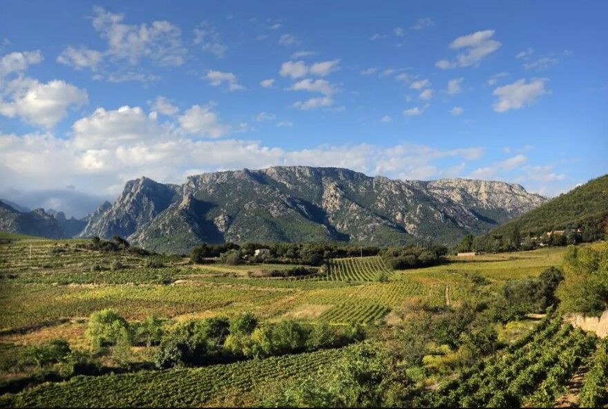
Along the way, you'll pass through the heart of the old village of Mons, with its typical alleyways and authentic atmosphere. You then reach the famous Héric gorges, an emblematic site of the Haut-Languedoc, where water and rock sculpt a spectacular setting. Finally, the itinerary takes in the Voie Verte, a former railroad line that has been redeveloped, offering a safe and pleasant setting for riding at nature's pace.
This well-maintained, signposted circuit is an ideal gateway to the region's heritage, landscapes and gentle way of life.


Bring water and snacks, especially in summer. Check your equipment before setting off (brakes, tires, helmet).
Respect the signs and share the path with other hikers.
Adapt your pace: ideal circuit for discovery, no need for performance.
Brown MTB Beacons
https://www.minervois-caroux.com/
Office de Tourisme MInervois - Caroux
VTT-FFC website
Oblíbené prohlídky v okolí
-
4.0
GORGES DE COLOMBIERES HIKE
středníTuristika 12.0 km -
5.0
HIKING OF THE HÉRIC GORGES VIA THE ORIENTATION TABLE
středníTuristika 16.3 km -
4.0
CAROUX SUMMIT HIKE
středníTuristika 7.94 km -
5.0
HIKING ROUTE OF THE TERRASSES DE L'ESPINOUSE
středníTuristika 16.8 km -
5.0
OENORANDO® THE VALLEY OF AROMAS
středníTuristika 13.7 km -
HERIC GORGES ROAD - MONS LA TRIVALLE
středníTuristika 9.38 km -
3.0
CYCLE LOOP No. 29 - FROM THE VALLEYS TO THE PEAKS OF HAUT-LANGUEDOC
středníJízda na kole 64.3 km -
TOUR DE LAC DE VESOLES HIKE
světloTuristika 6.27 km -
HIKE OF SAINT MICHEL DE MOURCAIROL
středníTuristika 11.7 km -
HIKING OF THE HÉRIC GORGES VIA THE COL DE BARDOU
středníTuristika 12.4 km
Pěší turistika a stopování


Nenechte si ujít nabídky a inspiraci pro vaši příští dovolenou
Vaše e-mailová adresa byl přidán do poštovního seznamu.





