






Gradnalm circular hike

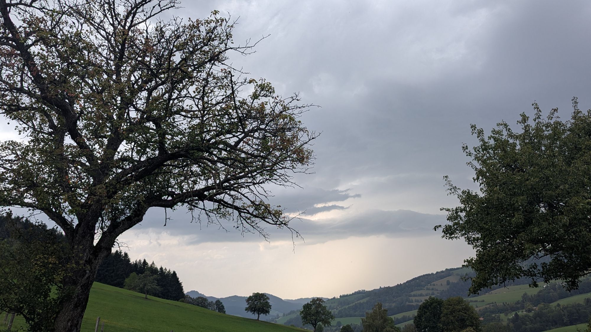
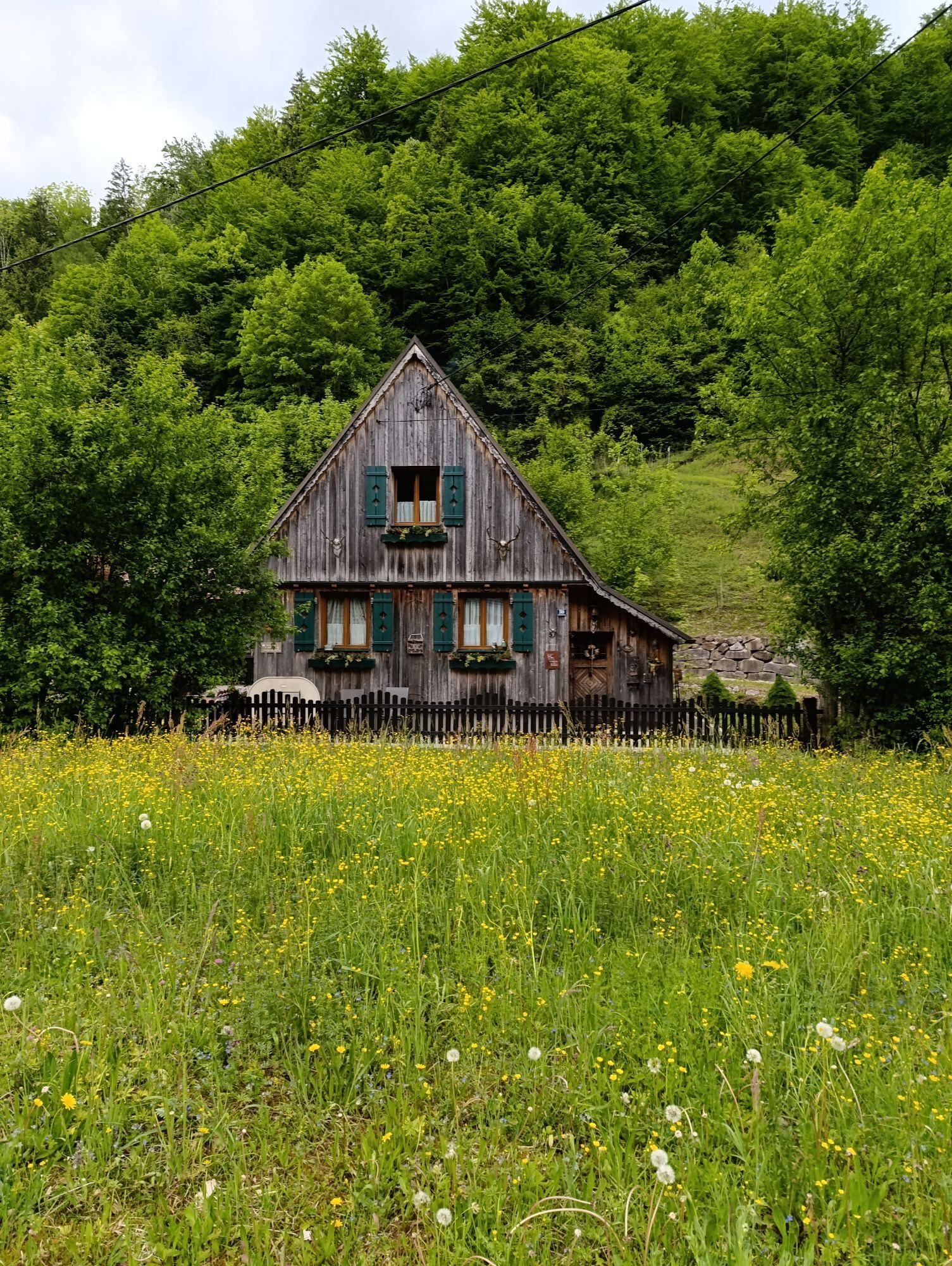
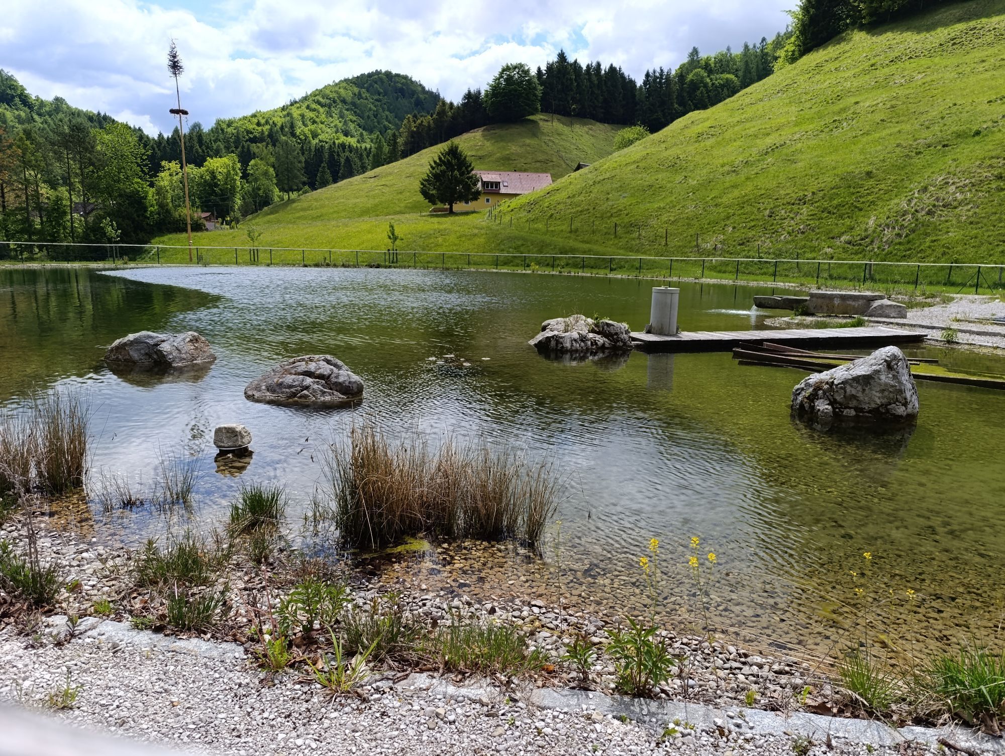
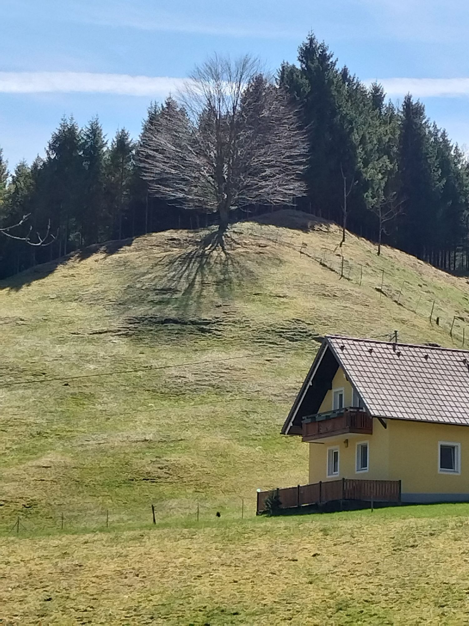
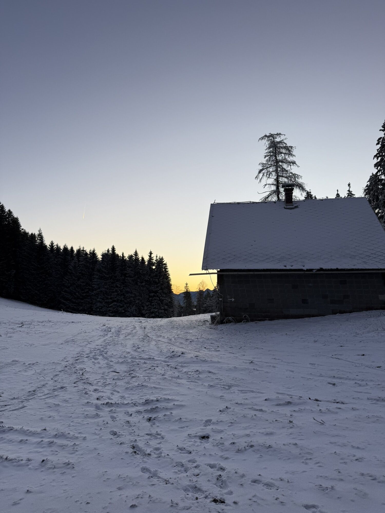
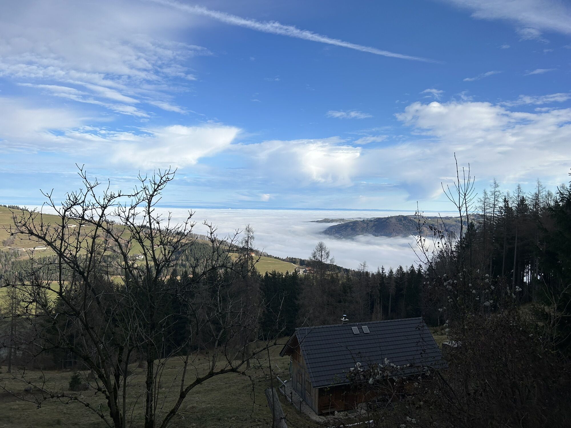
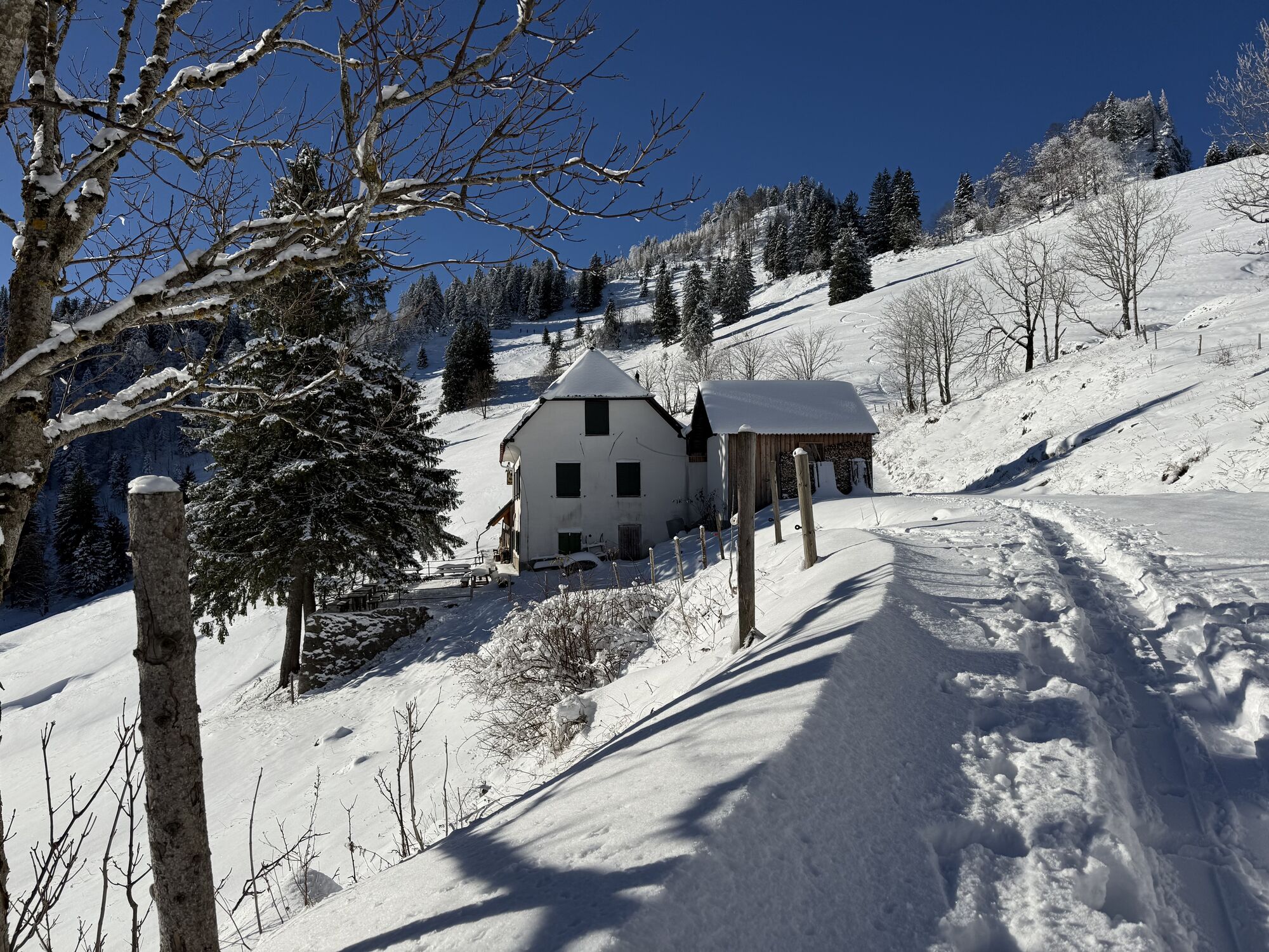

Passing the ensemble of the Sensenschmiede Museum, you go via Heiligenkreuz and on the old Ottsdorf church path to Ottsdorf. Through the Erlgraben valley, the path leads to Grassnerkreuz and further to...
Passing the ensemble of the Sensenschmiede Museum, you go via Heiligenkreuz and on the old Ottsdorf church path to Ottsdorf. Through the Erlgraben valley, the path leads to Grassnerkreuz and further to Sattelhald and Gradnalm. The return route leads from Sattelhald via the Krems source.
Hiking trail: K93



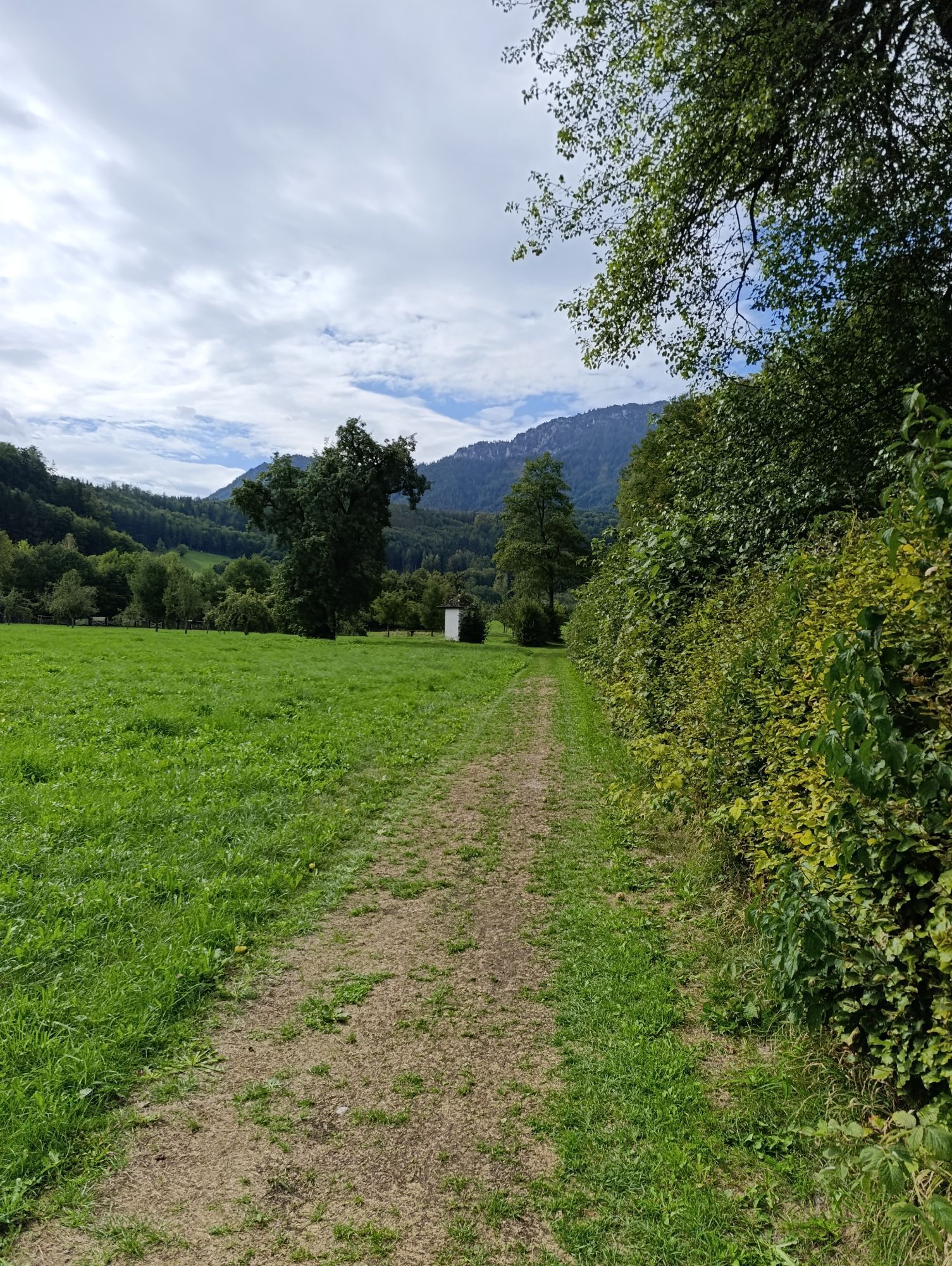
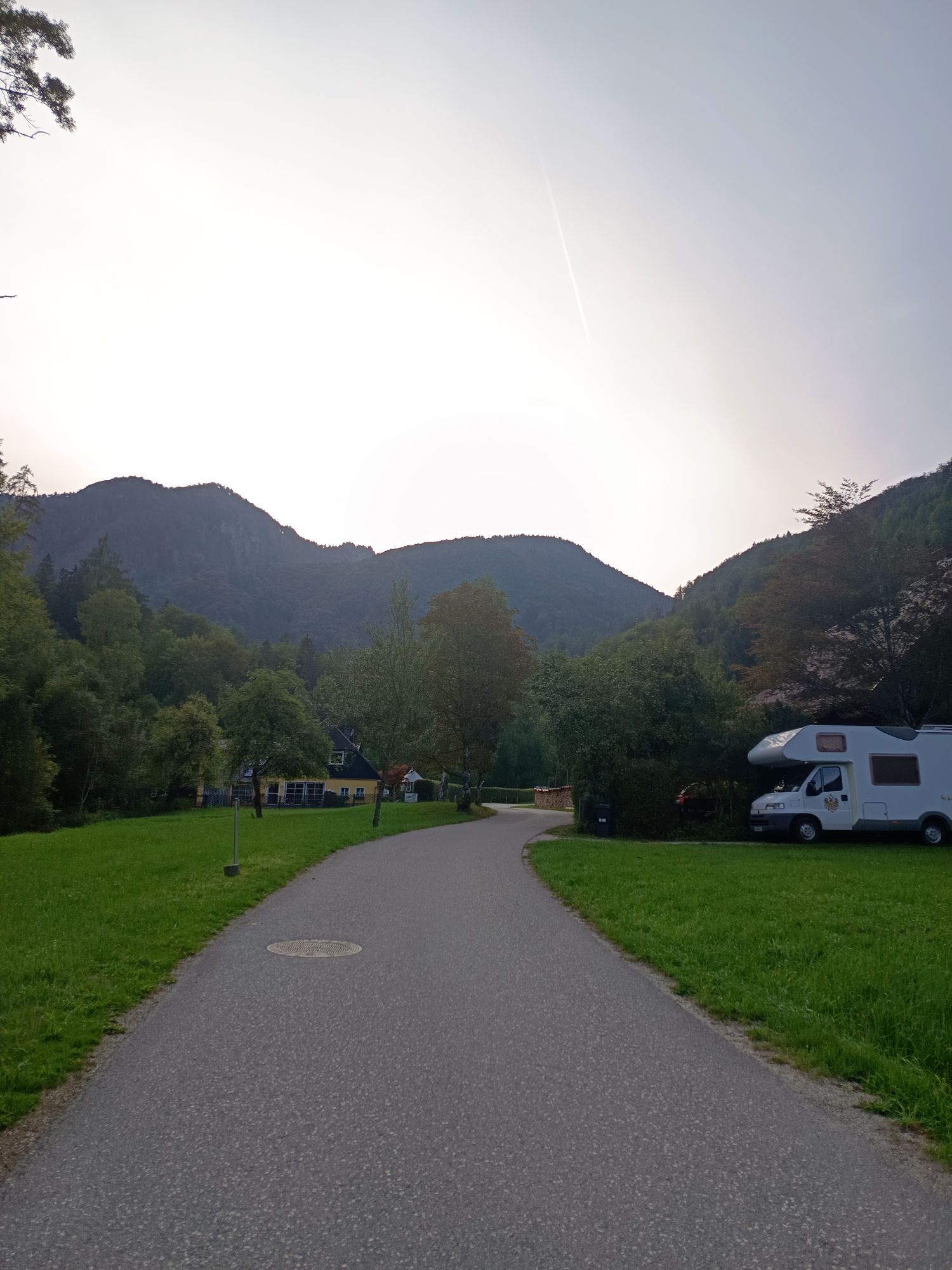
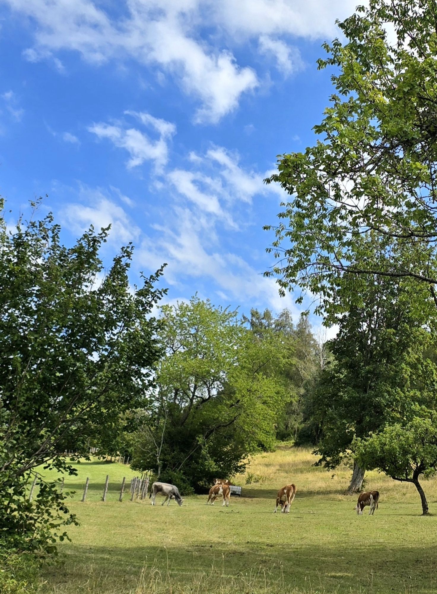
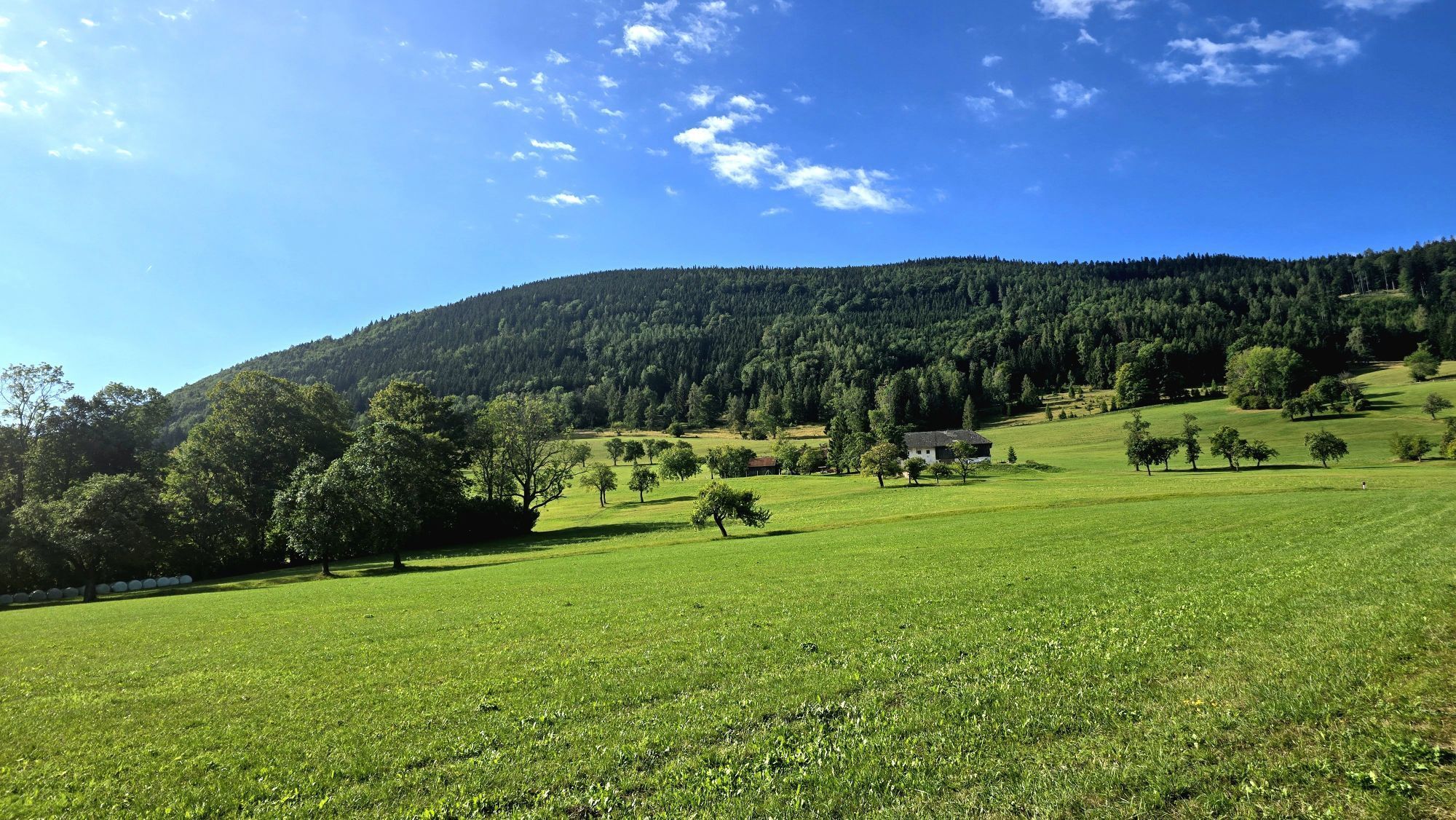
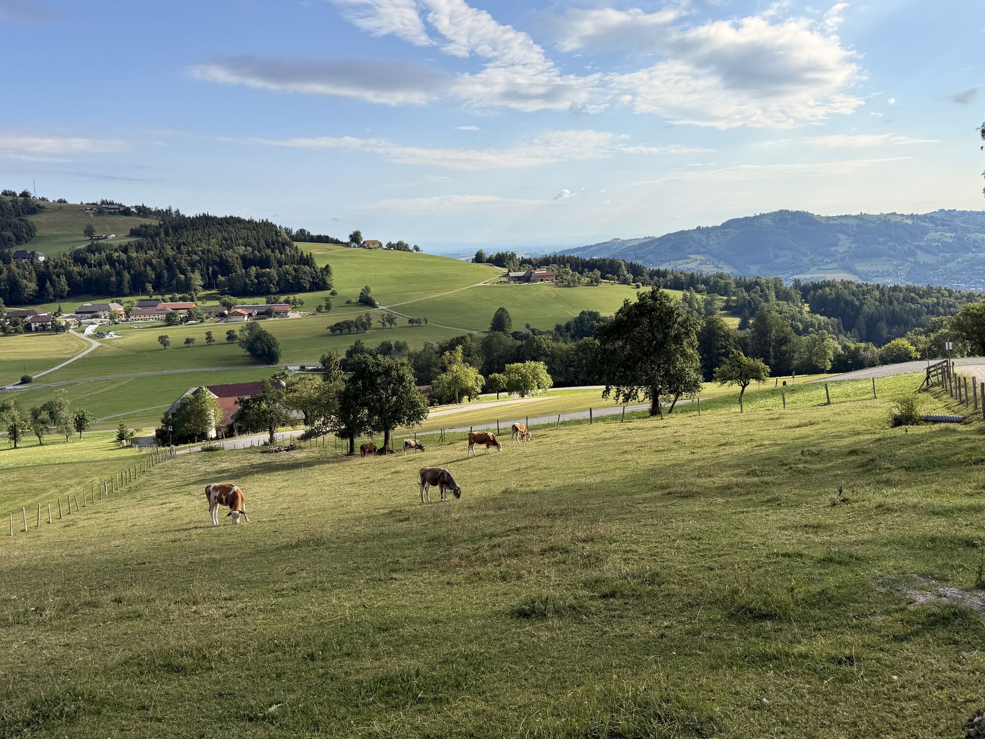
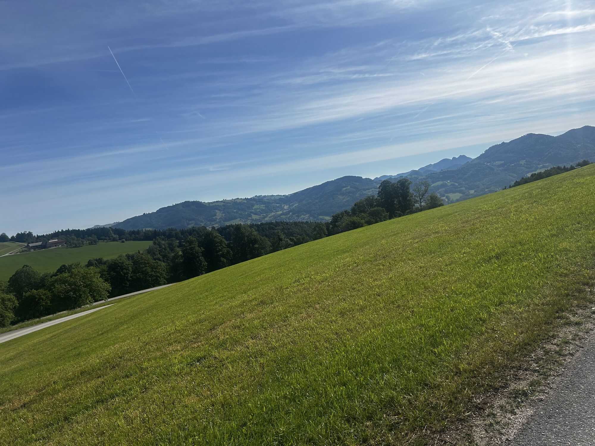
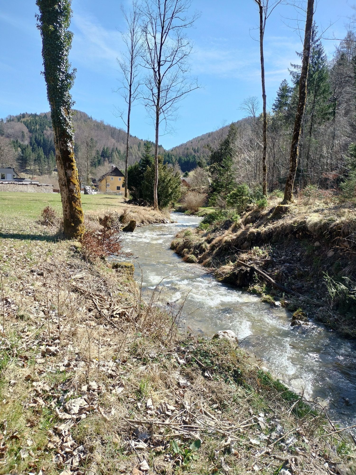
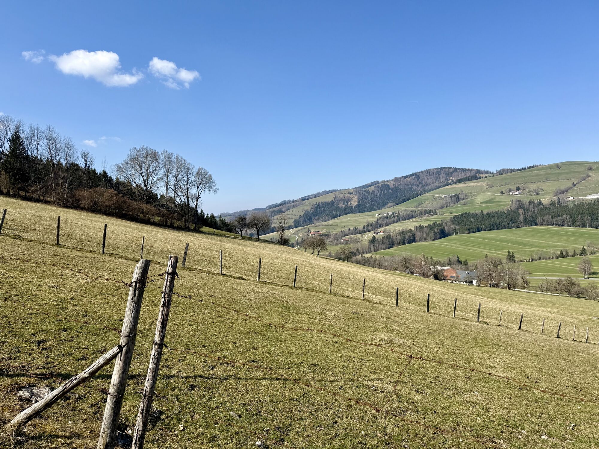
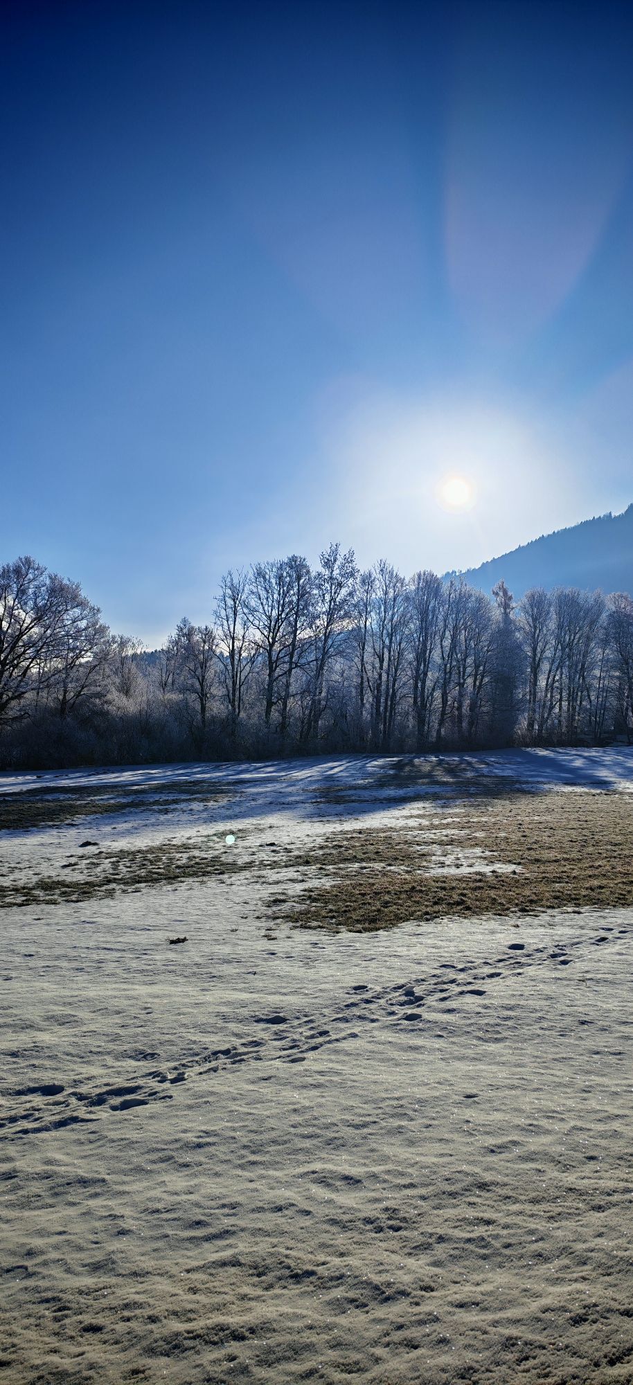
From the parking lot, hike past the ensemble of the Sensenschmiede Museum. Further on, it goes via Heiligenkreuz and along the old Ottsdorf church path. You hike comfortably between fields and meadows to Ottsdorf.
In good flying weather, gliders can be observed here during takeoff and landing.
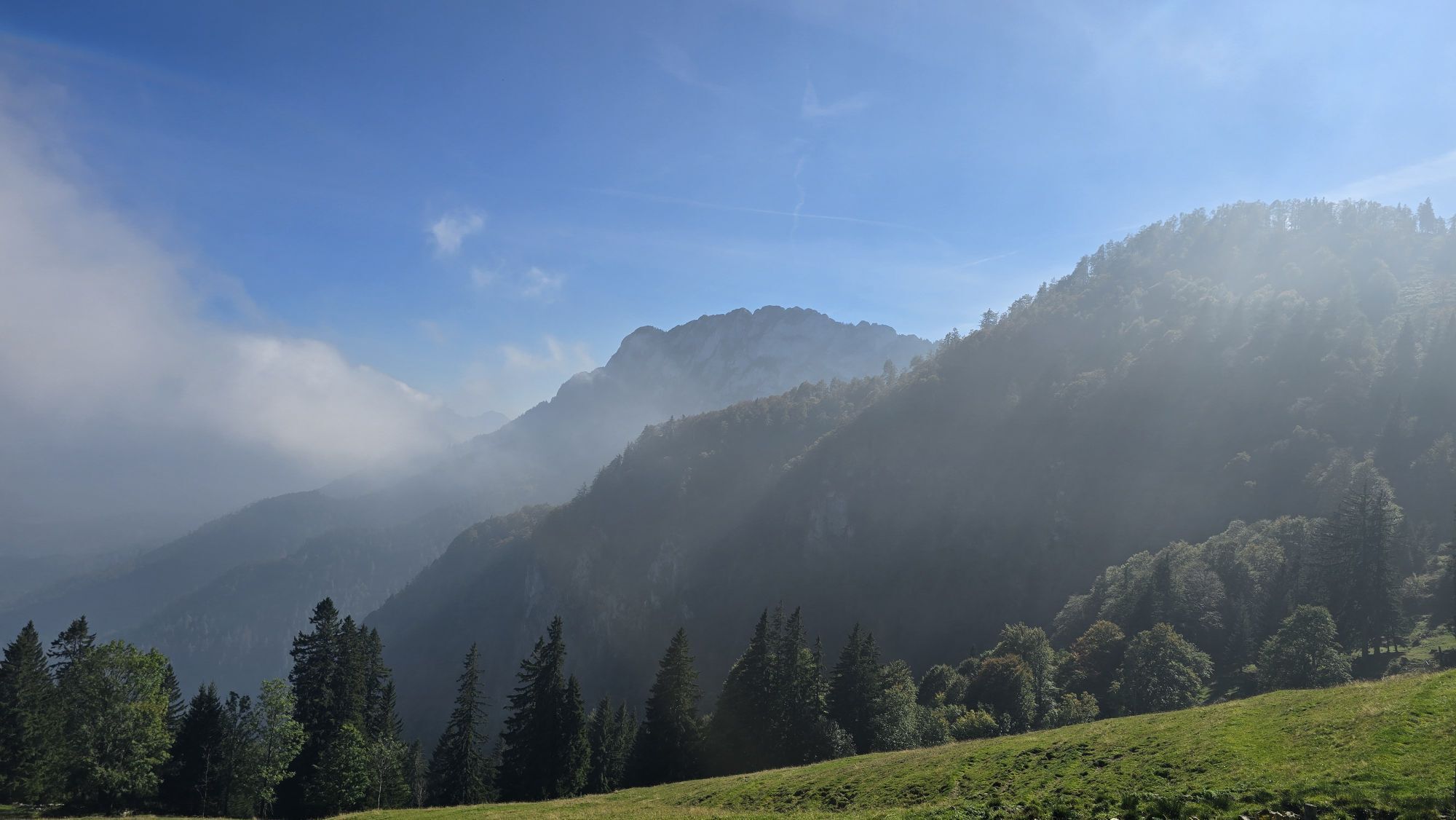
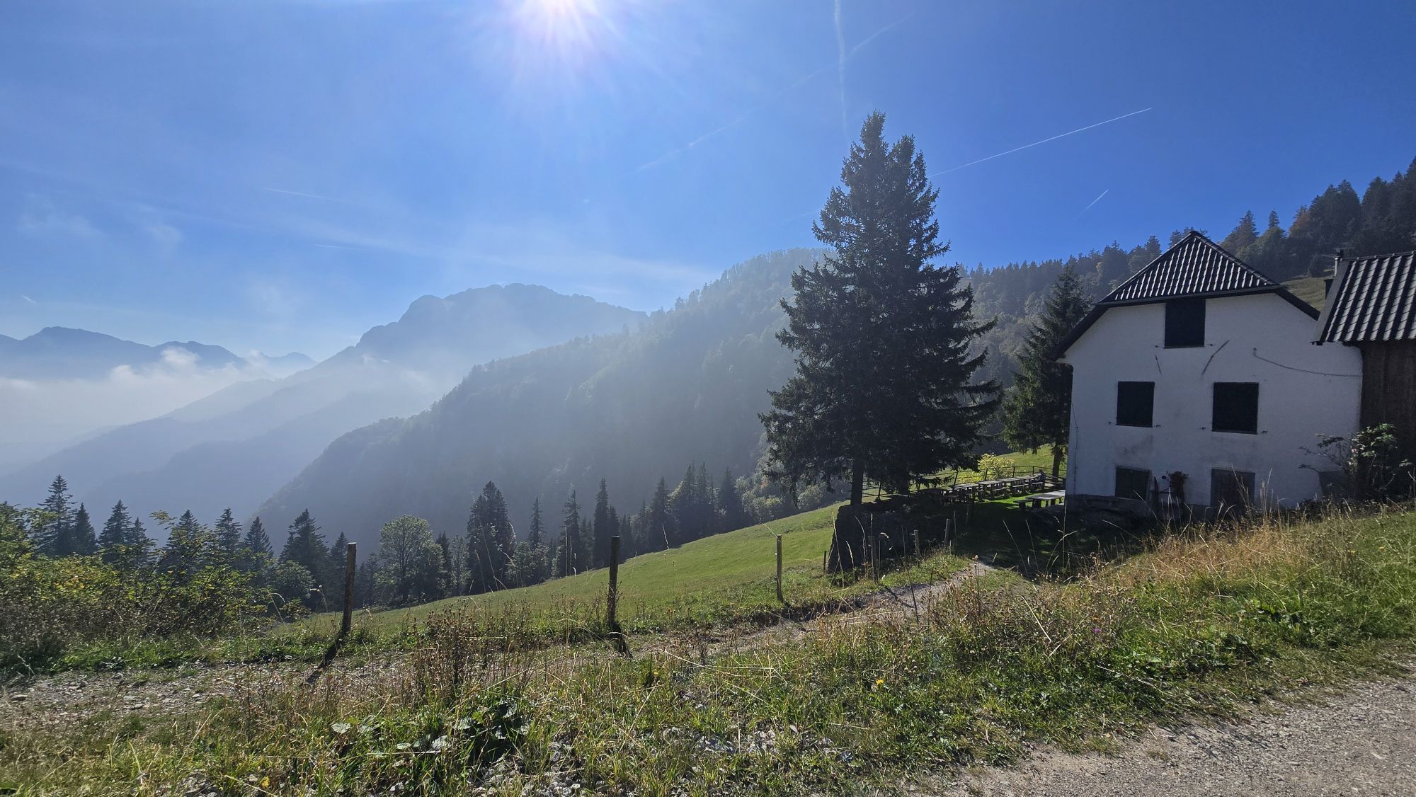
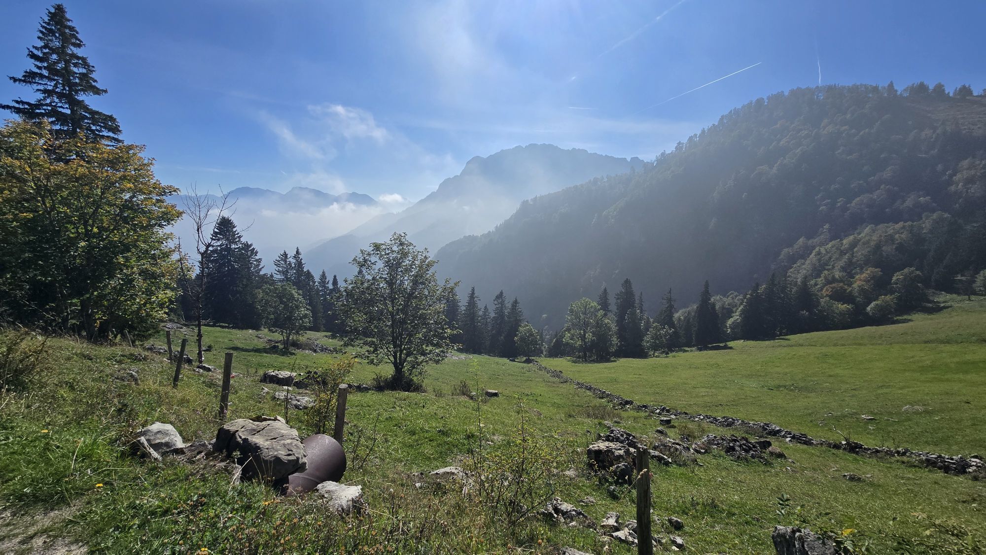
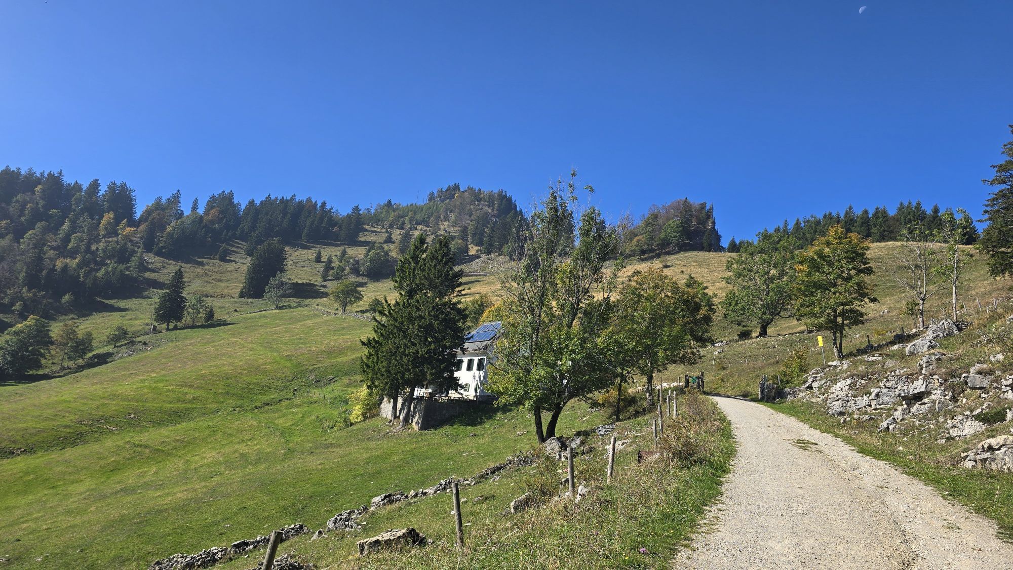
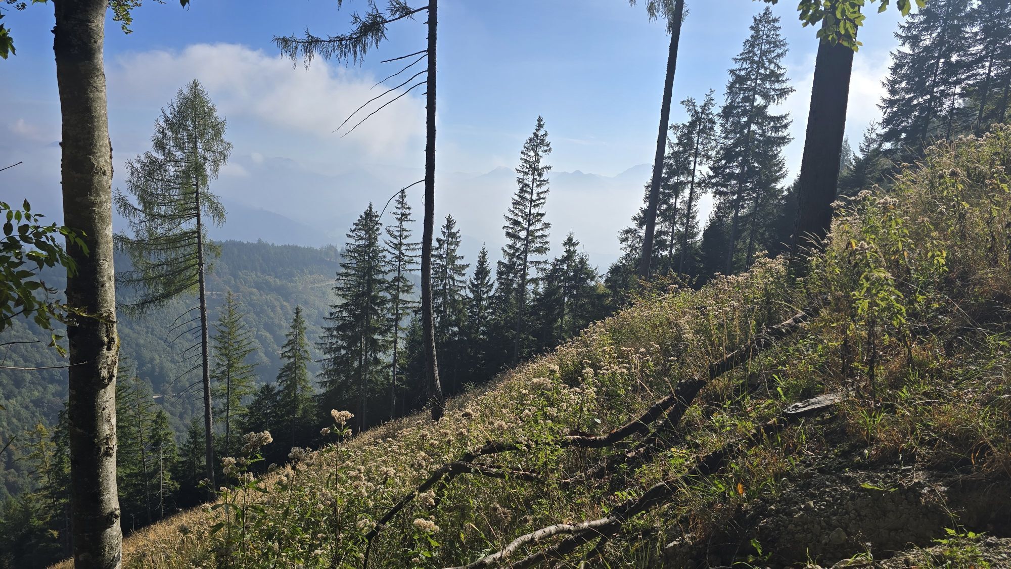
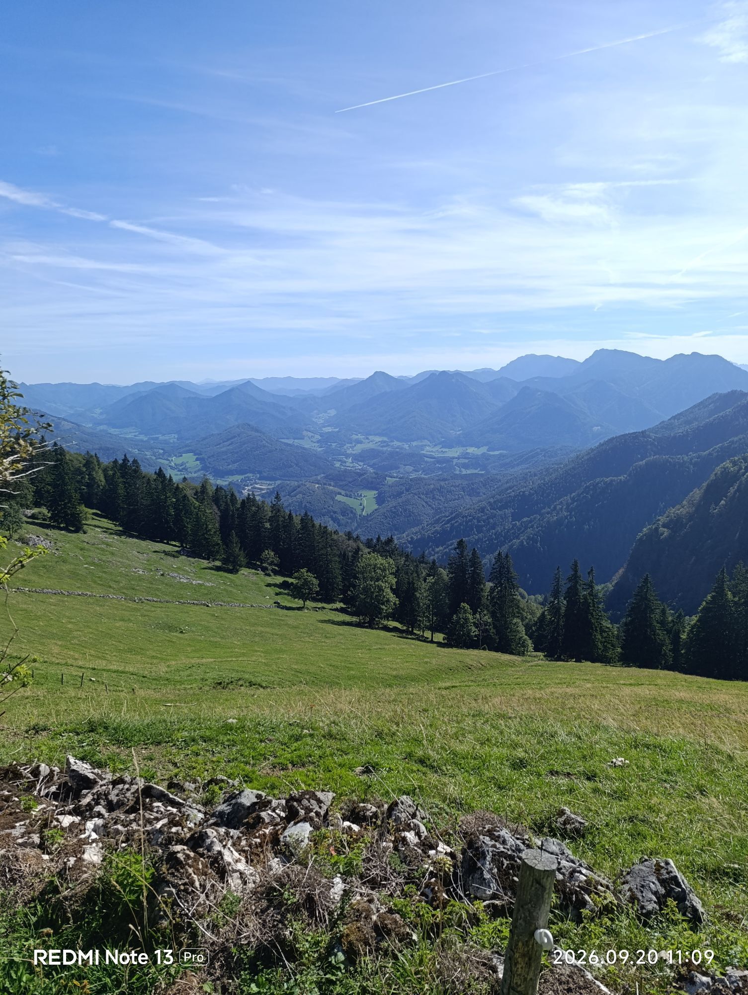
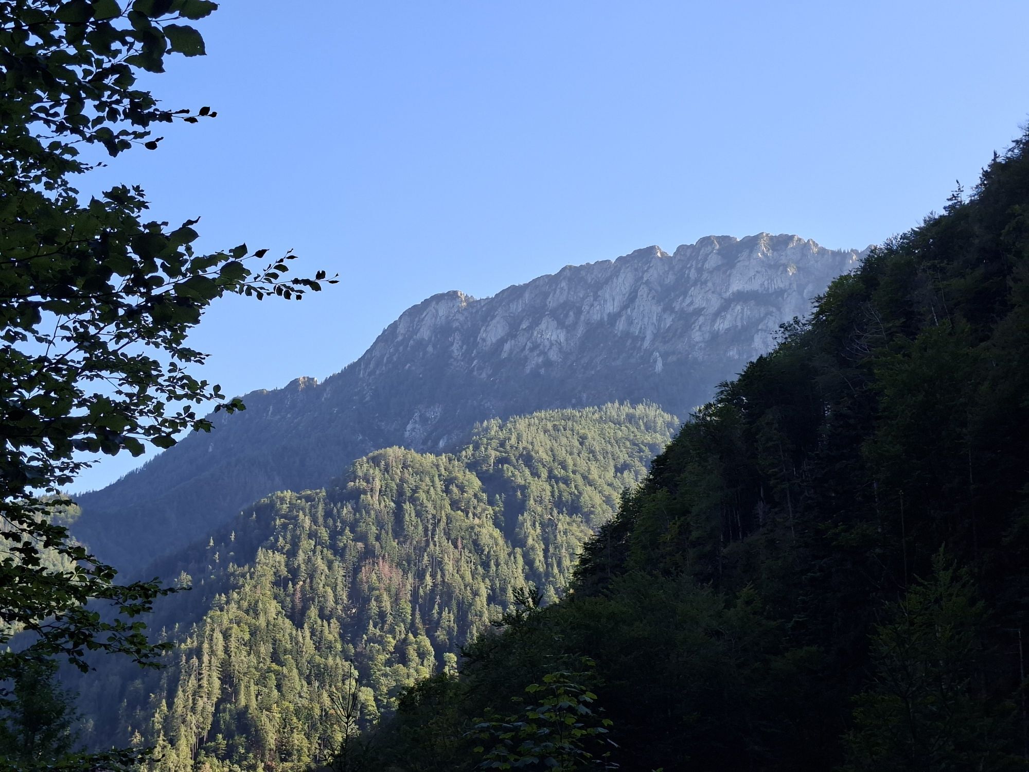
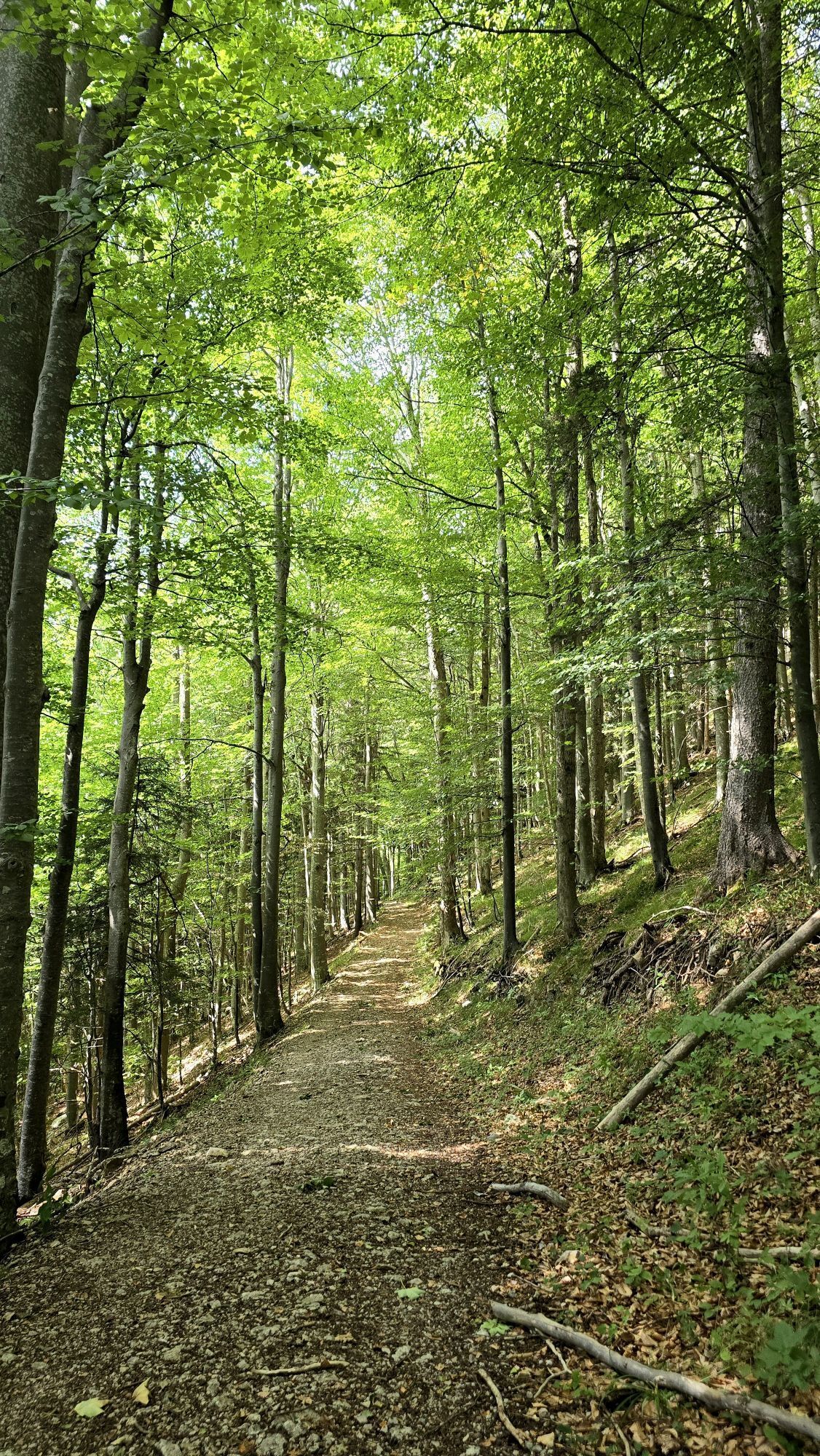
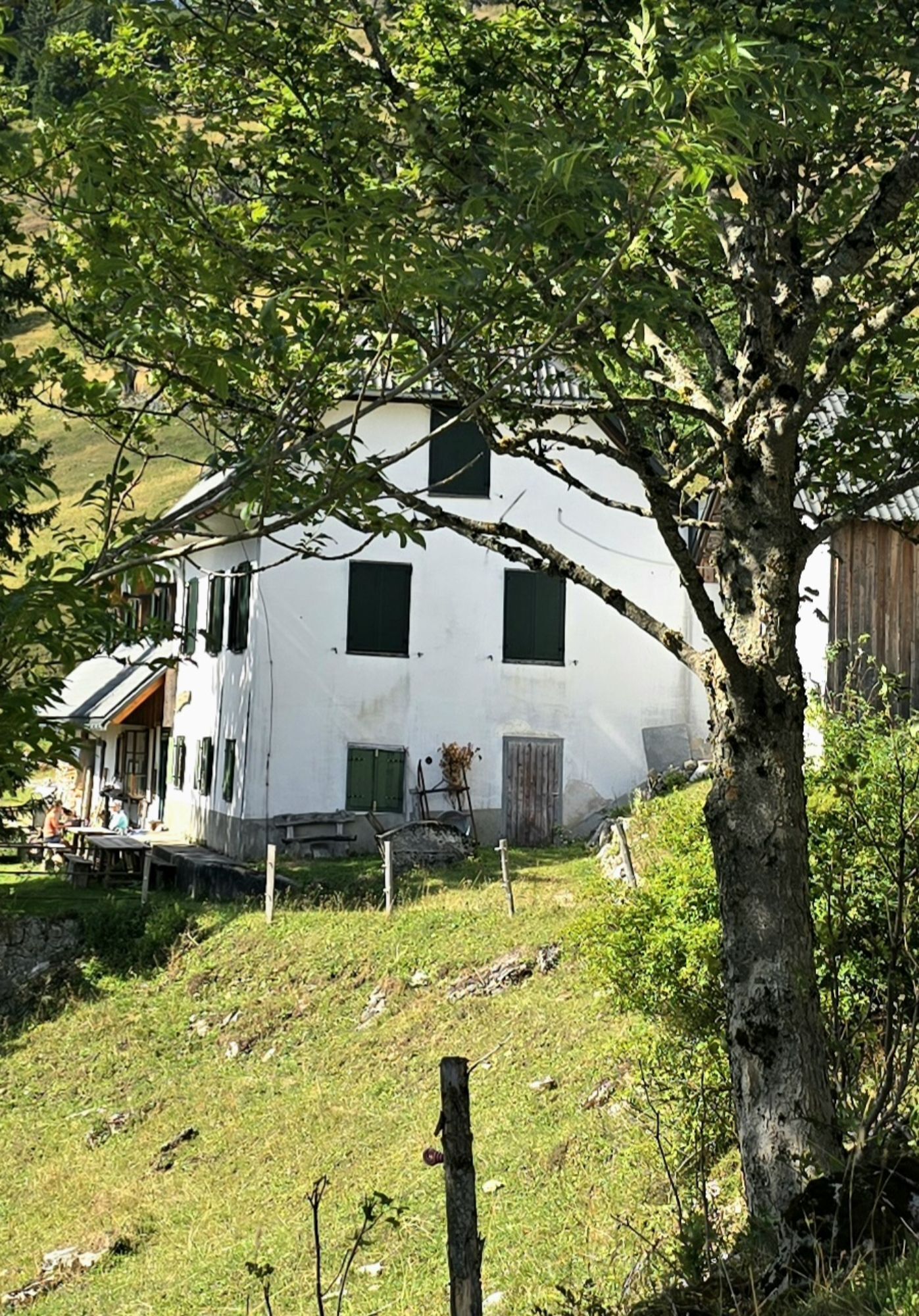
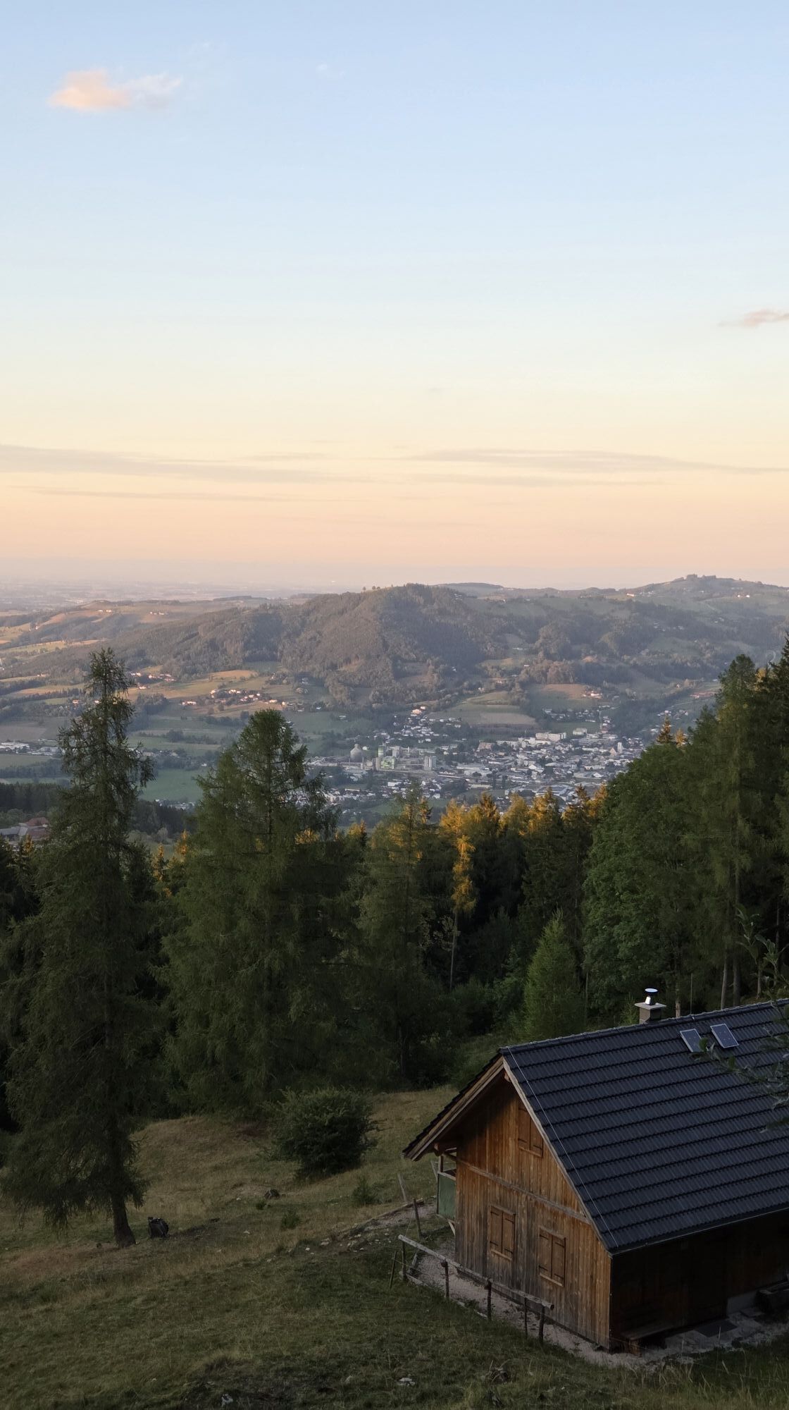
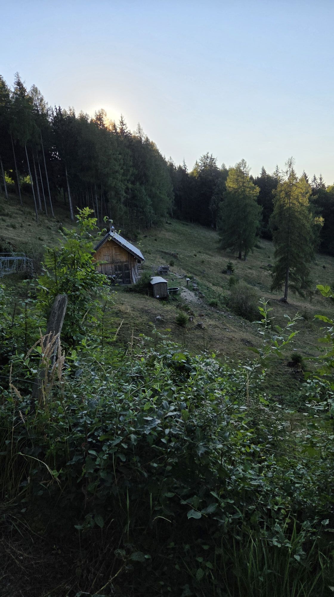
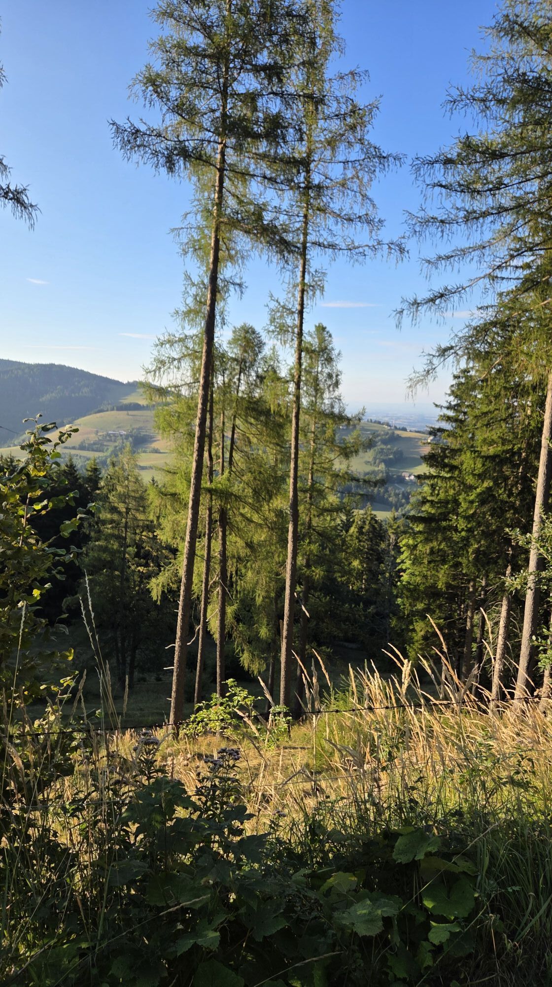
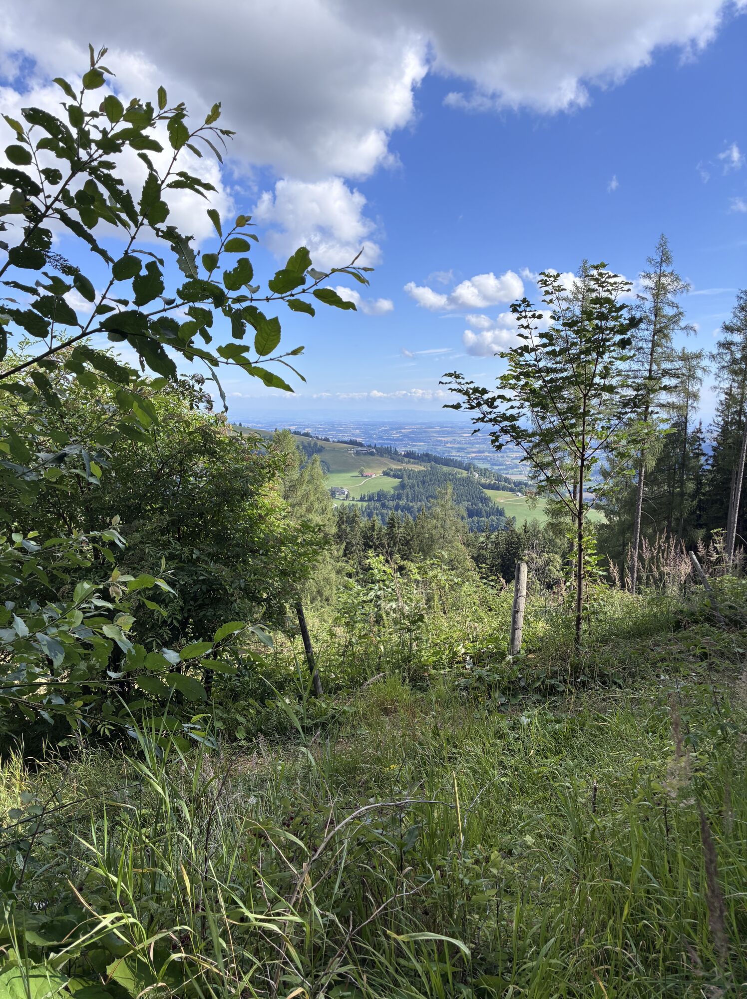
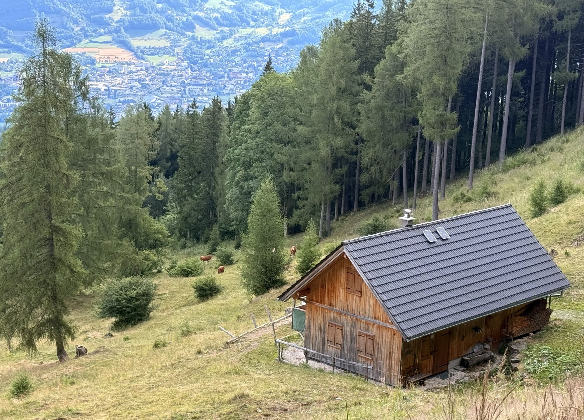
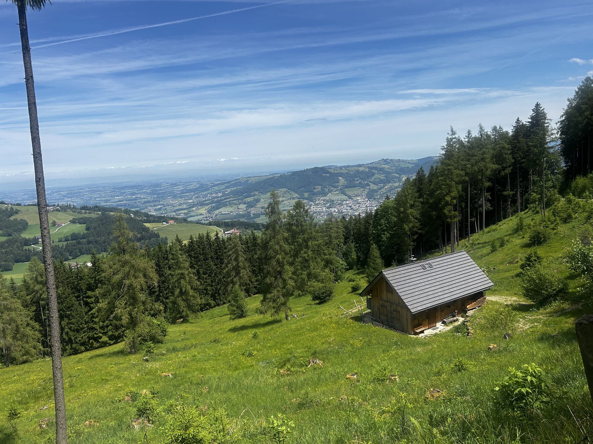
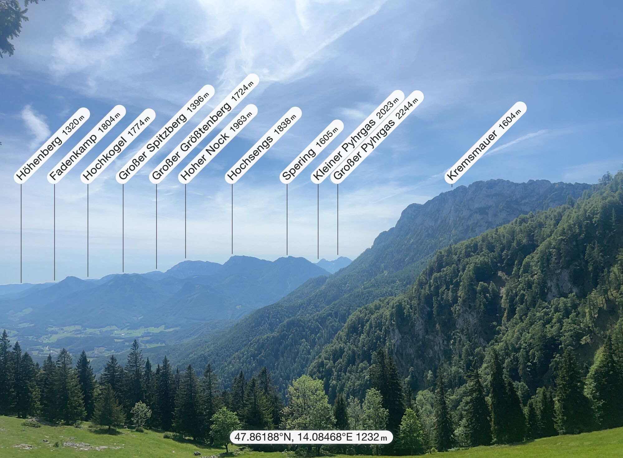
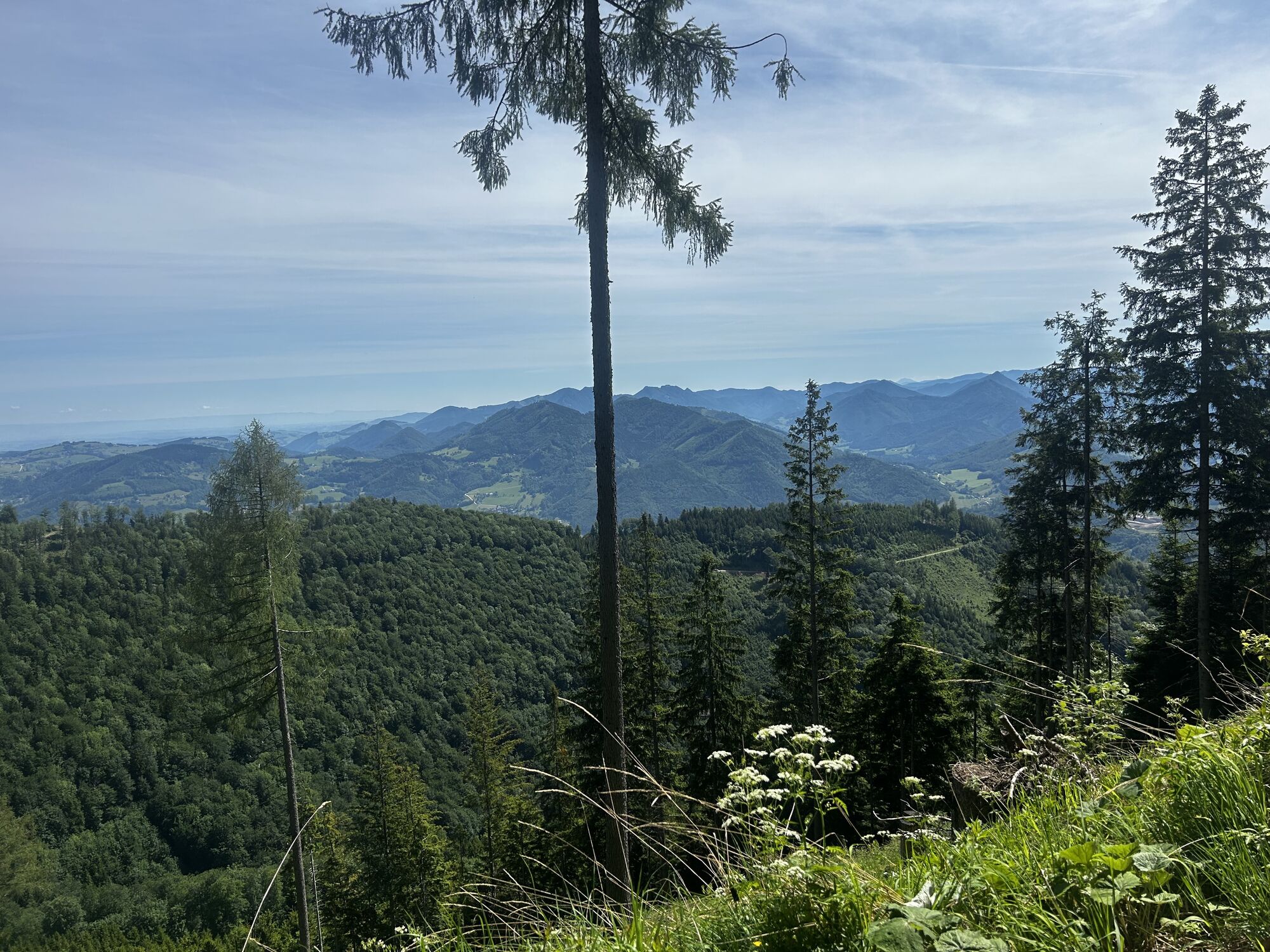
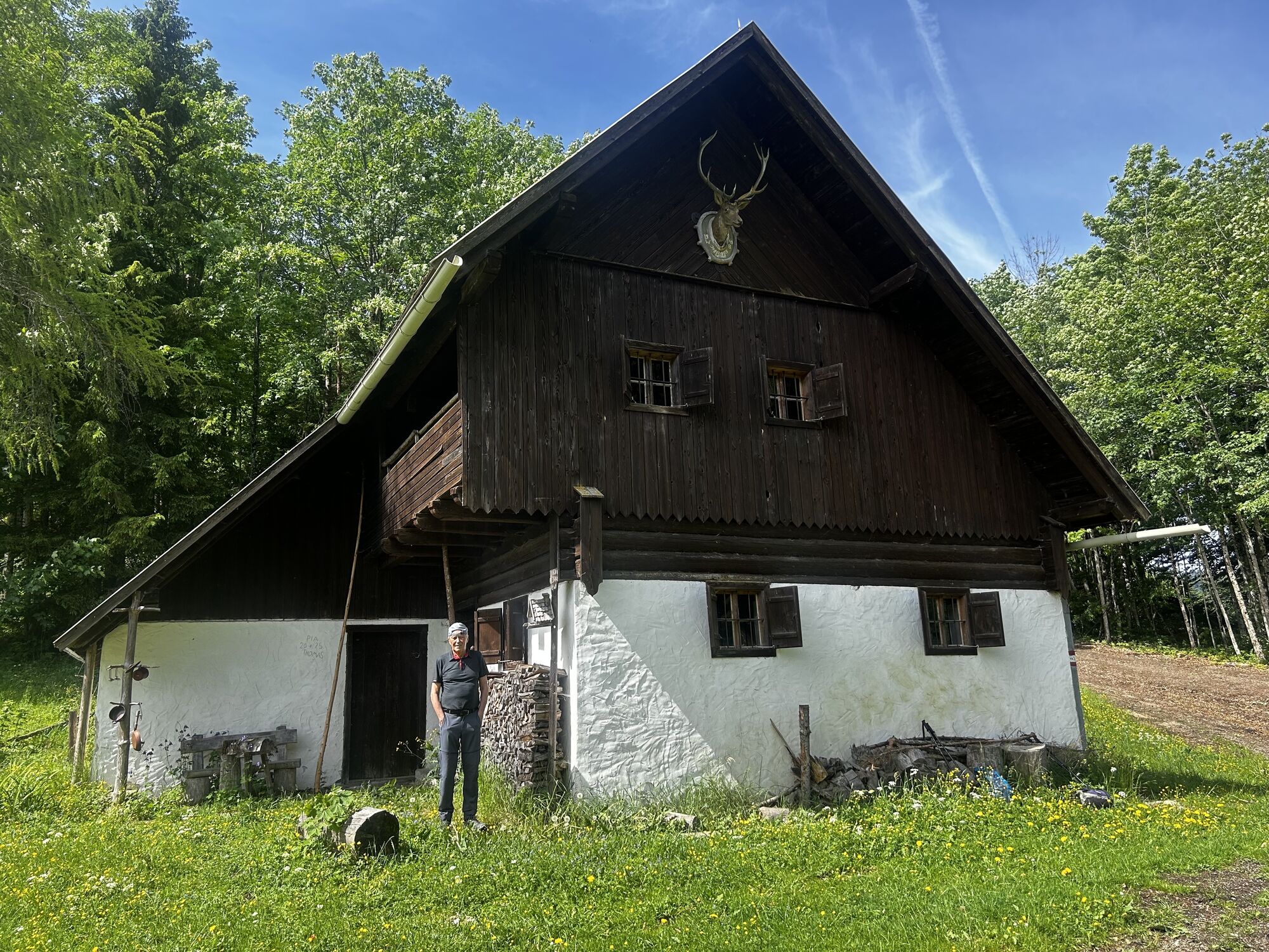
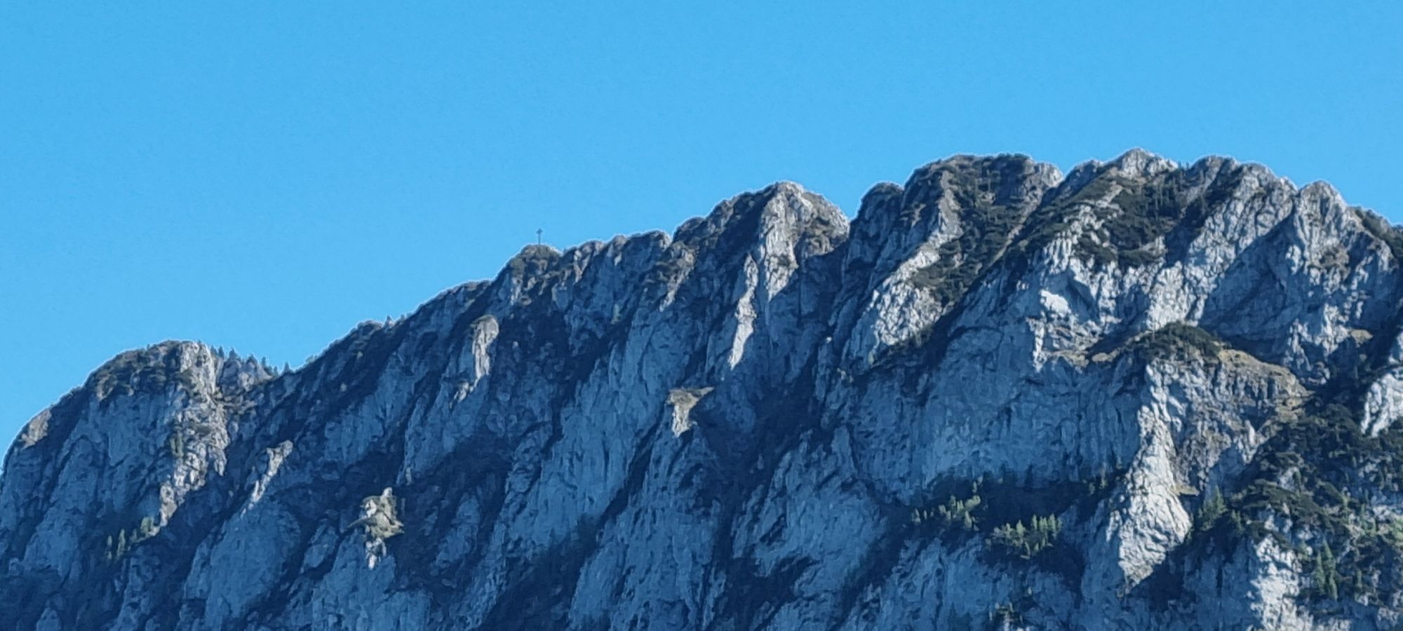
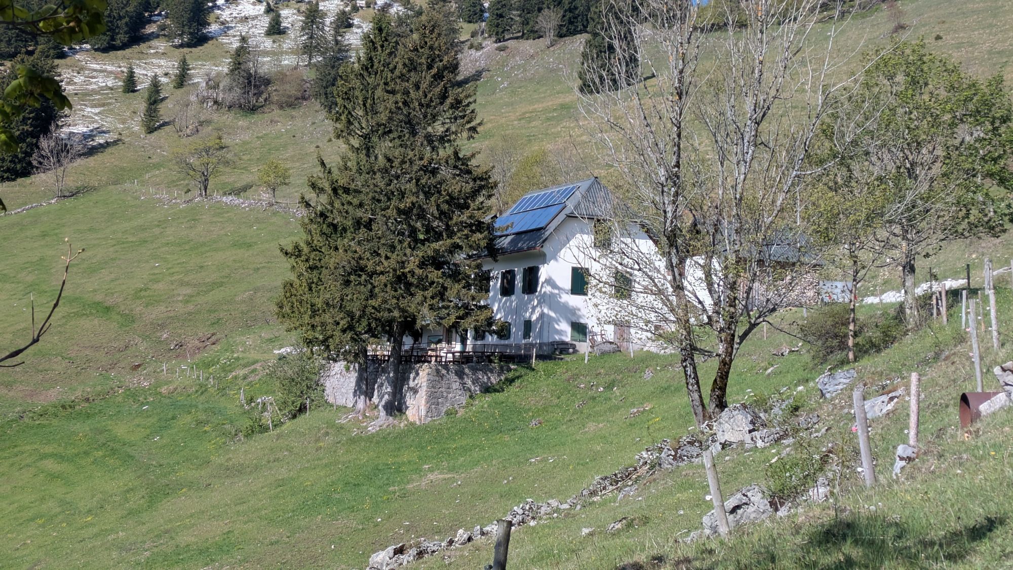
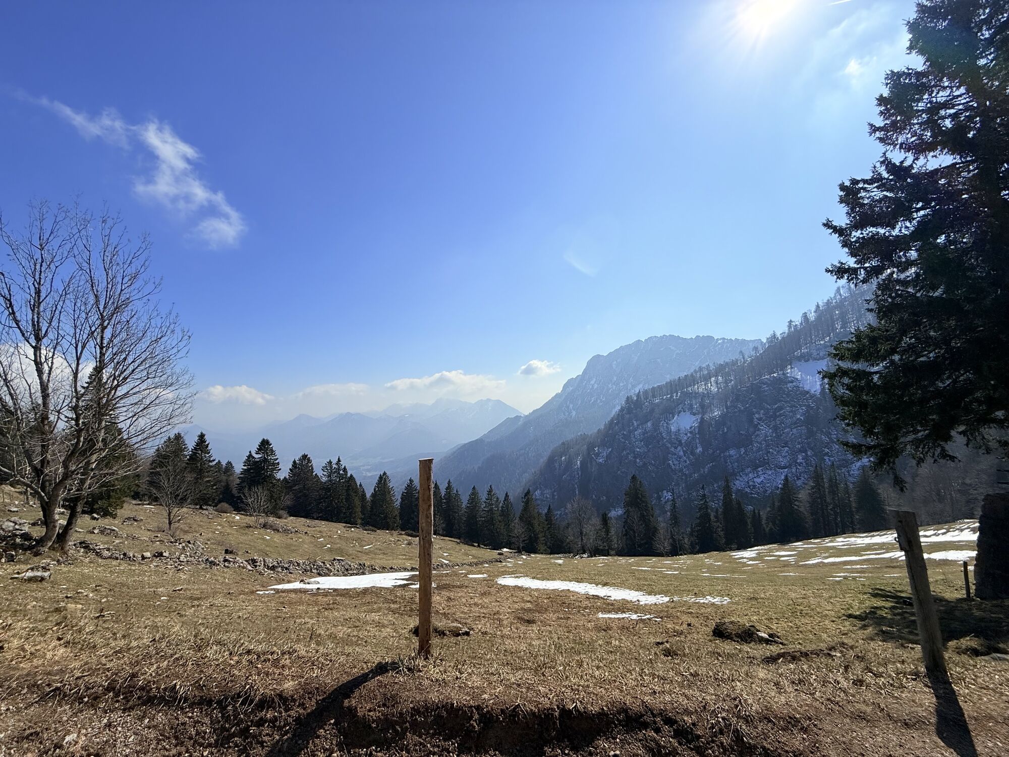
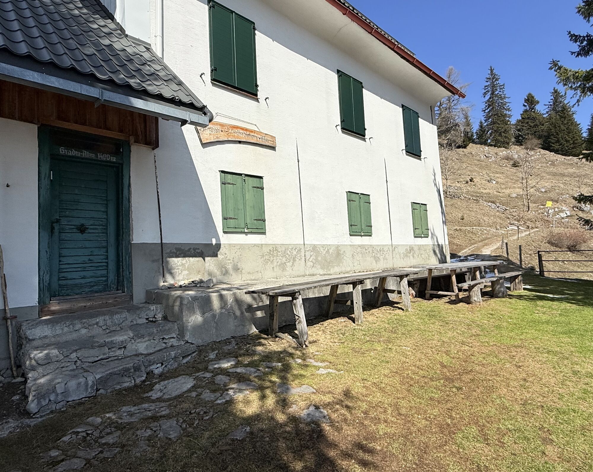
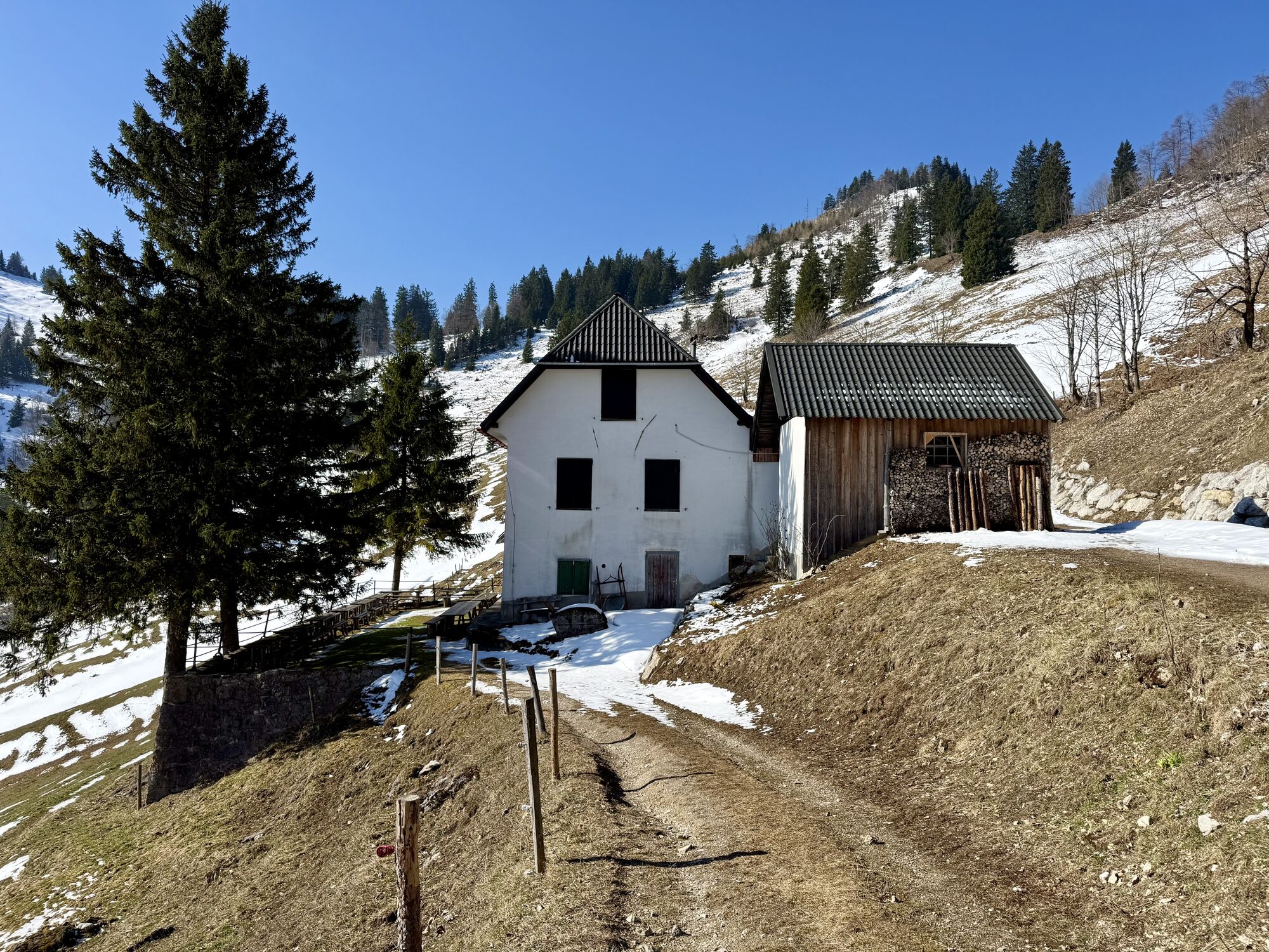
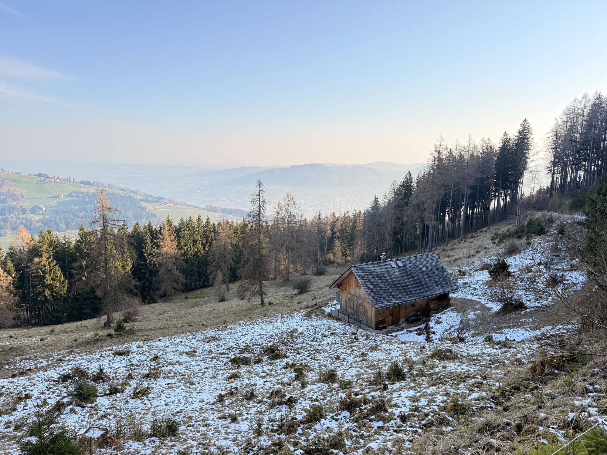
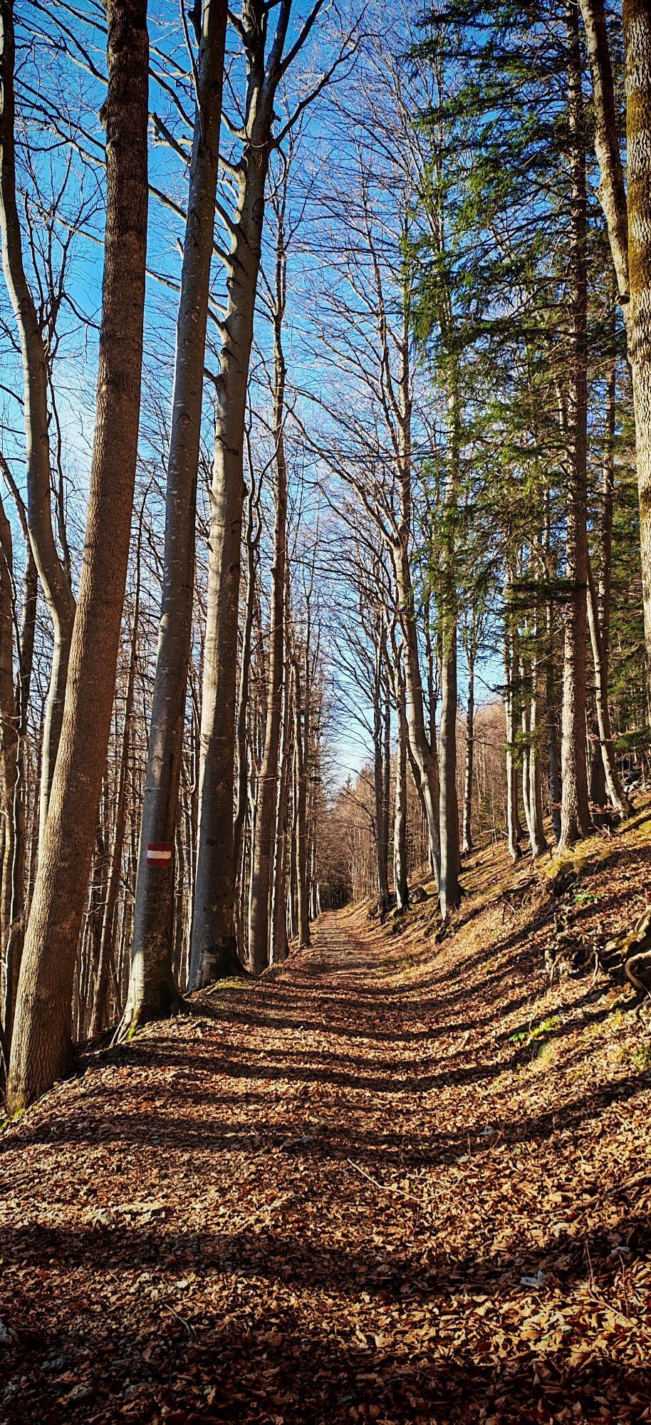
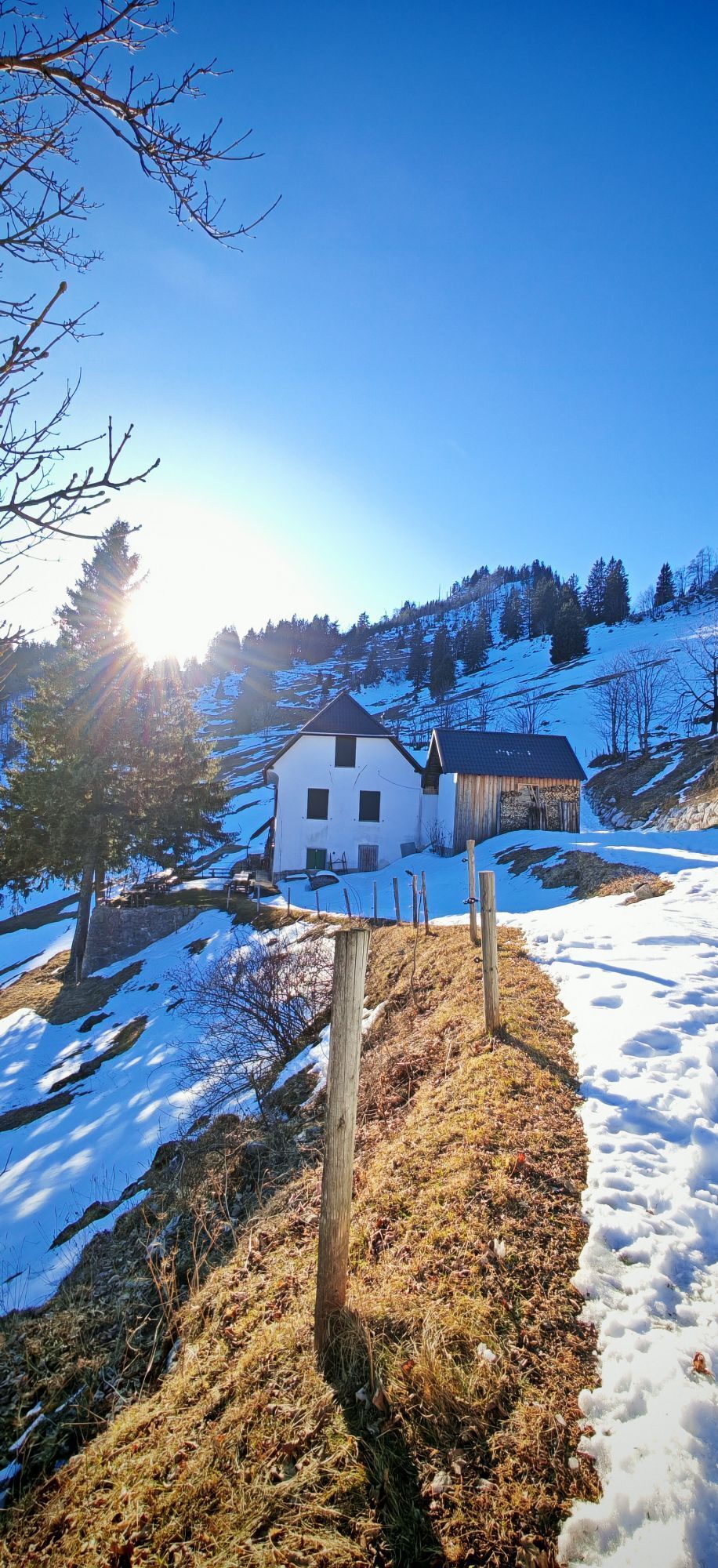
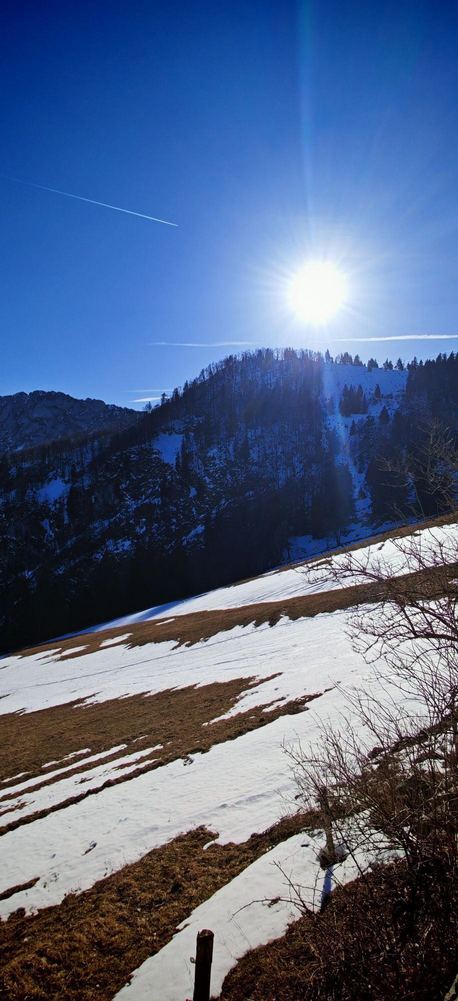
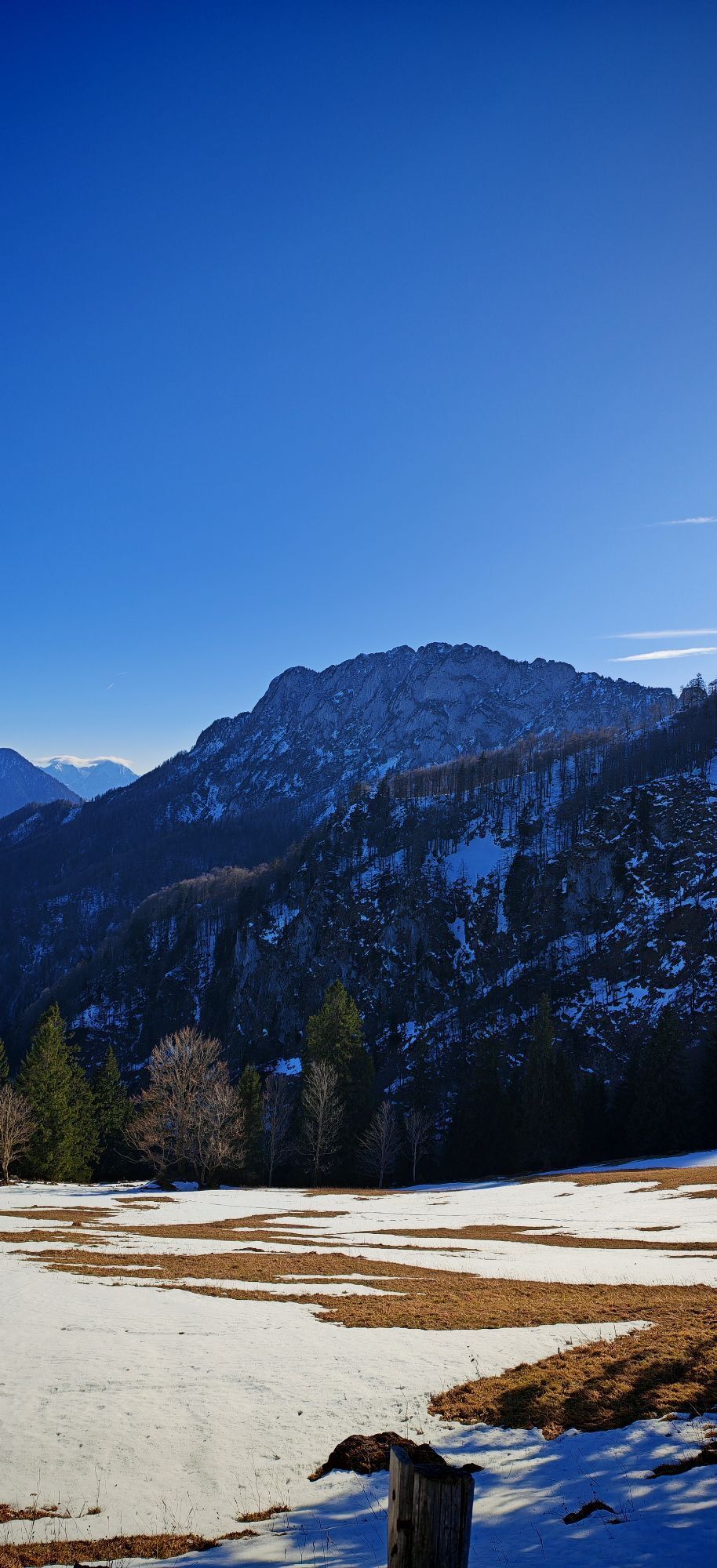
The path through the Erlgraben valley then brings you to Grassnerkreuz and further on a footpath through beautiful forests to Sattelhald. Hopefully, you brought enough to drink, as there are hardly any refreshment options on this hike. From there, it continues to Gradnalm with the alpine hut only occasionally operated. Here, the view to the Kremsmauer rock face is overwhelming.
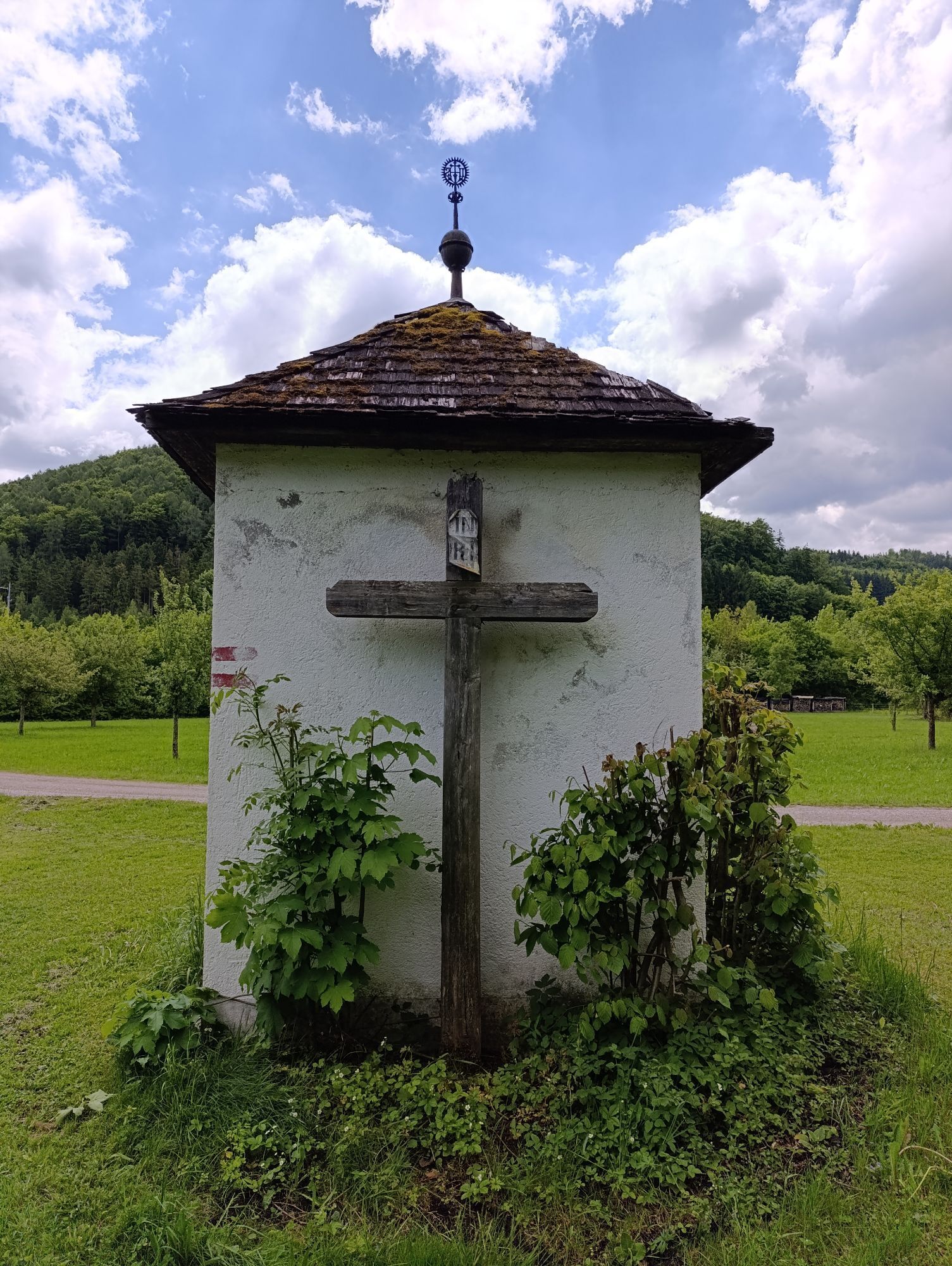
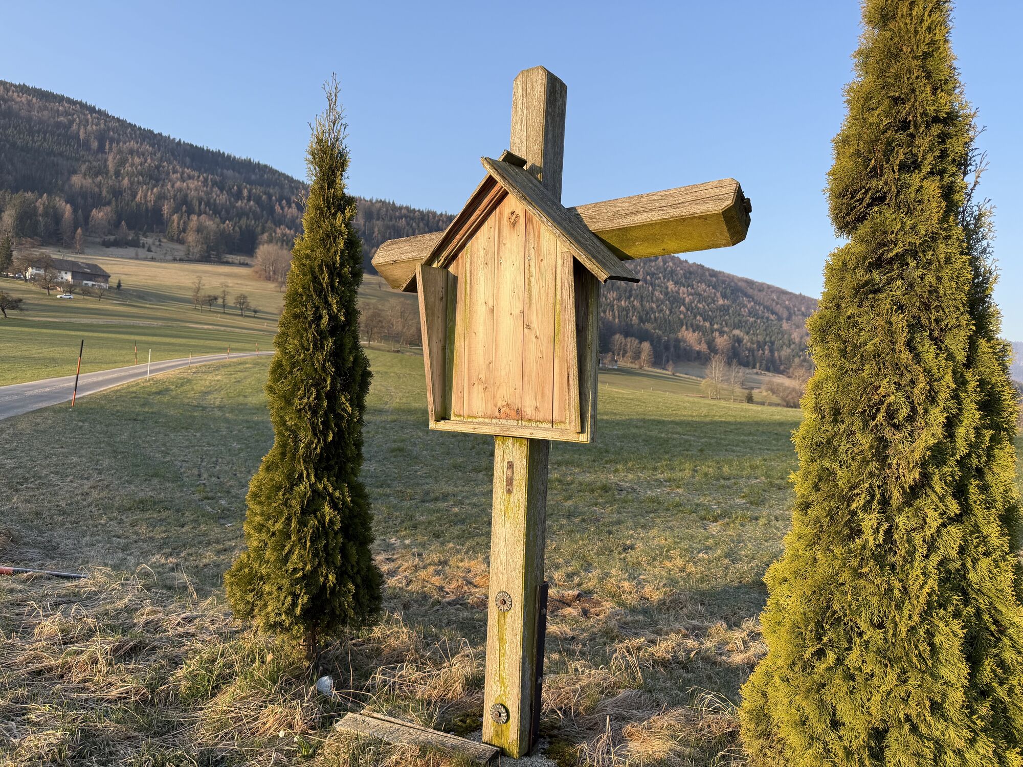
On the same path, you hike back to Sattelhald and downhill to the Krems source, where the Krems springs from the rock as a small stream. Following the course of the Krems, you come via Pfustergut (beautiful wrought iron cross) back to the village of Micheldorf, returning to the starting point.
Ano
No refreshment options on the way, so bring drinks and a snack if needed.
From Linz: A9 Pyhrn motorway - exit Inzersdorf
From Graz: A9 Pyhrnautobahn > exit Klaus > federal road B 138
Details at www.ooevv.at
Micheldorf/parking spaces in the town center
Climate-friendly to the National Park region - Micheldorf station in Upper Austria: By train, you reach the starting point for this hike in about 1 hour from Linz and about 2.5 hours from Vienna.

Oblíbené prohlídky v okolí
-
4.7
Almseeweg / Grünau im Almtal
světloTuristika 5.97 km -
4.7
Bergwanderung auf den Spering
středníTuristika 7.50 km -
4.7
Hochsalm
středníTuristika 8.50 km -
4.7
Windhagkogel (1334m)
středníTuristika 10.4 km -
4.7
Kleiner und Großer Landsberg (3.7.2019) mit Sonnenuntergang
středníTuristika 3.51 km -
4.5
Rinnende Mauer - Gorge Trail
středníTuristika 7.20 km -
4.6
4 Gipfel Tour im Almtal Bräumauer, Maisenkögerl, Hutkogel und Hochsalm
středníTuristika 9.80 km -
4.6
Kremsmauer, Pyramide von Steyrling mit Andi
Turistika 10.5 km -
4.5
Hochberghaus - Spitzplaneck
světloTuristika 11.5 km -
4.5
Nackter Kalbling & Pfannstein & Rauher Kalbling
středníTuristika 12.0 km
Pěší turistika a stopování


Nenechte si ujít nabídky a inspiraci pro vaši příští dovolenou
Vaše e-mailová adresa byl přidán do poštovního seznamu.





