
Margschierf
střední
Pořiďte si tuto prohlídku do mobilního telefonu
Margschierf
střední
Turistika
7.61
km
Naskenujte QR kód a spusťte navigaci v aplikaci bergfex.


Pěší turistika a stopování





Margschierf
střední
Vzdálenost
7.61
km
Doba trvání
02:15
h
Ascent
105
hm
Hladina moře
1745 -
2061
m

Navigujte po trase v aplikaci
Nainstalujte si aplikaci zdarma a mějte trasu vždy na očích díky GPS navigaci a sledování polohy.
Využijte nyní službu „ bergfex “ v aplikaci
Naskenuj QR kód pomocí fotoaparátu
Jakmile je aplikace nainstalována, obsah se otevře přímo. Pokud aplikaci ještě nemáš, budeš přesměrován na stránku, kde si ji můžeš zdarma stáhnout.
Stažení skladby
Margschierf
střední
Turistika
7.61
km
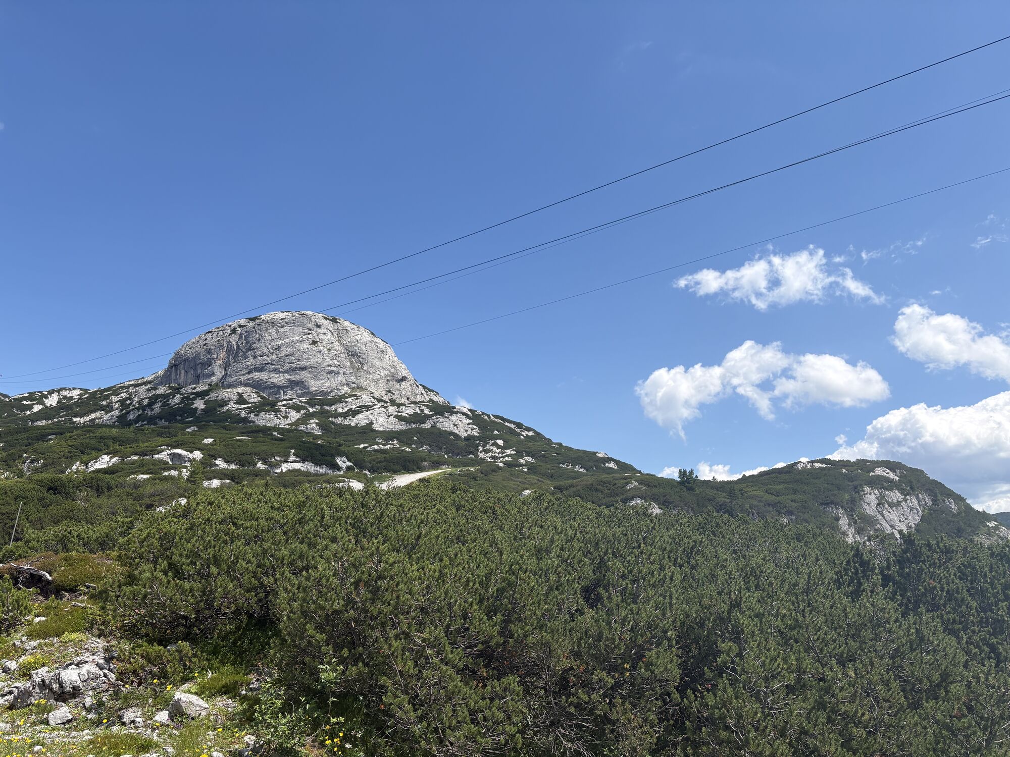
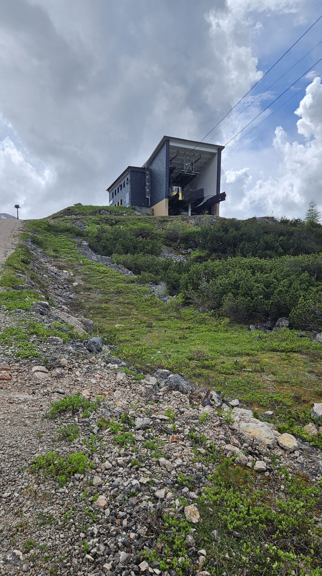
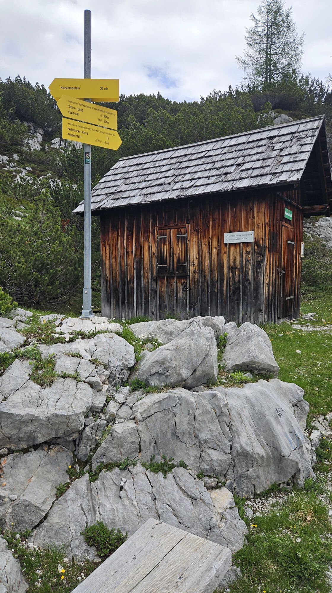
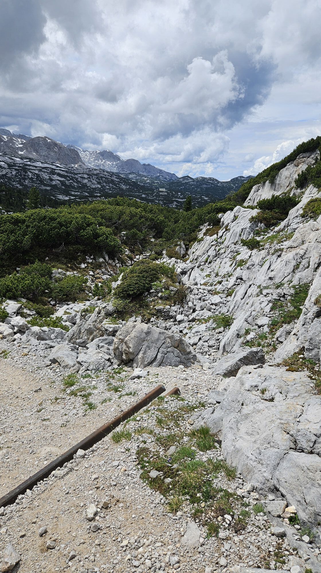
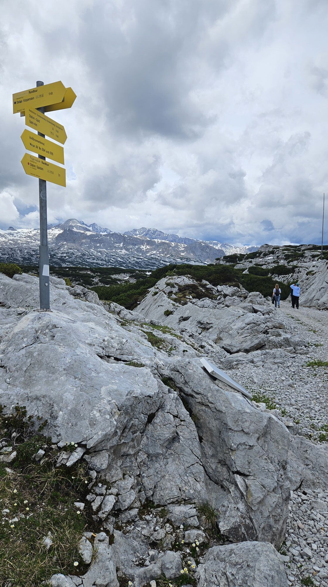
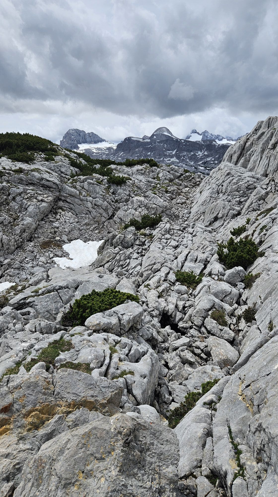
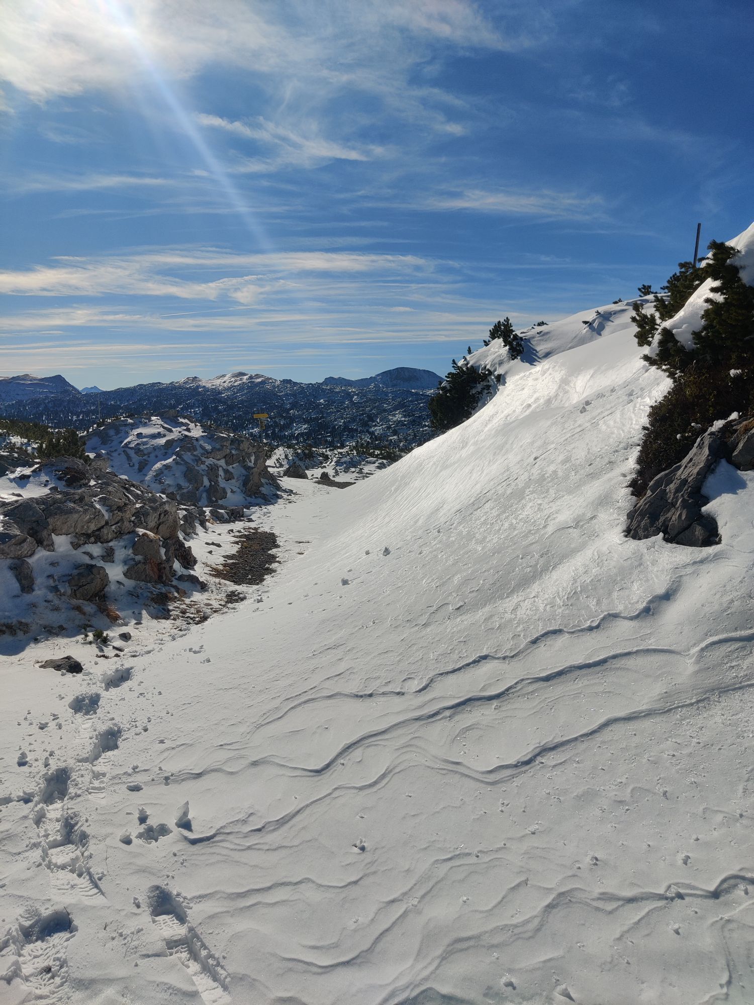
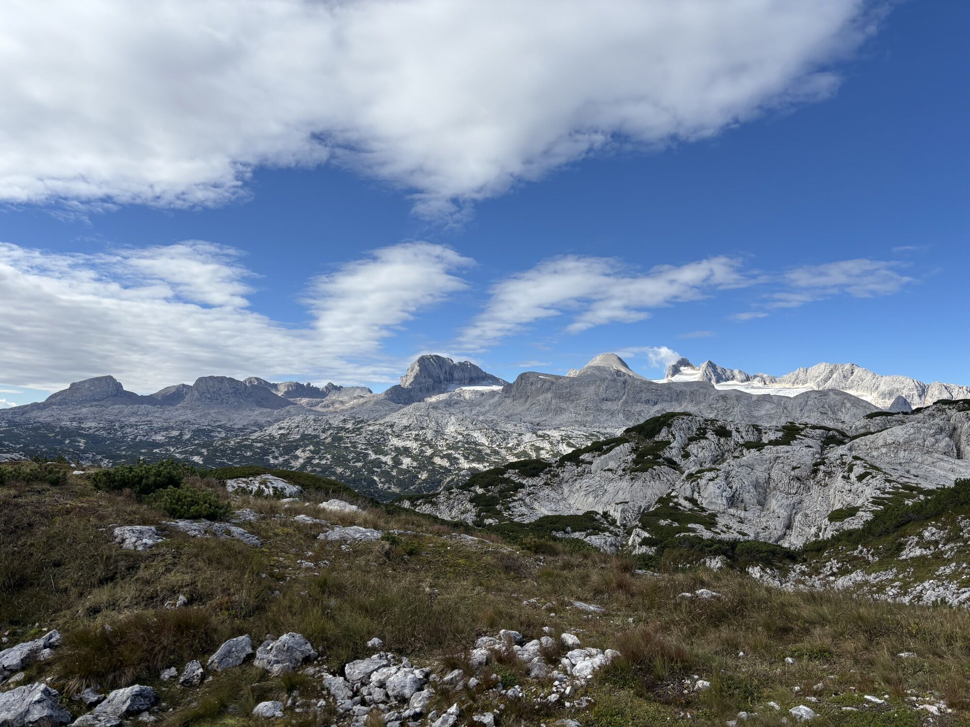
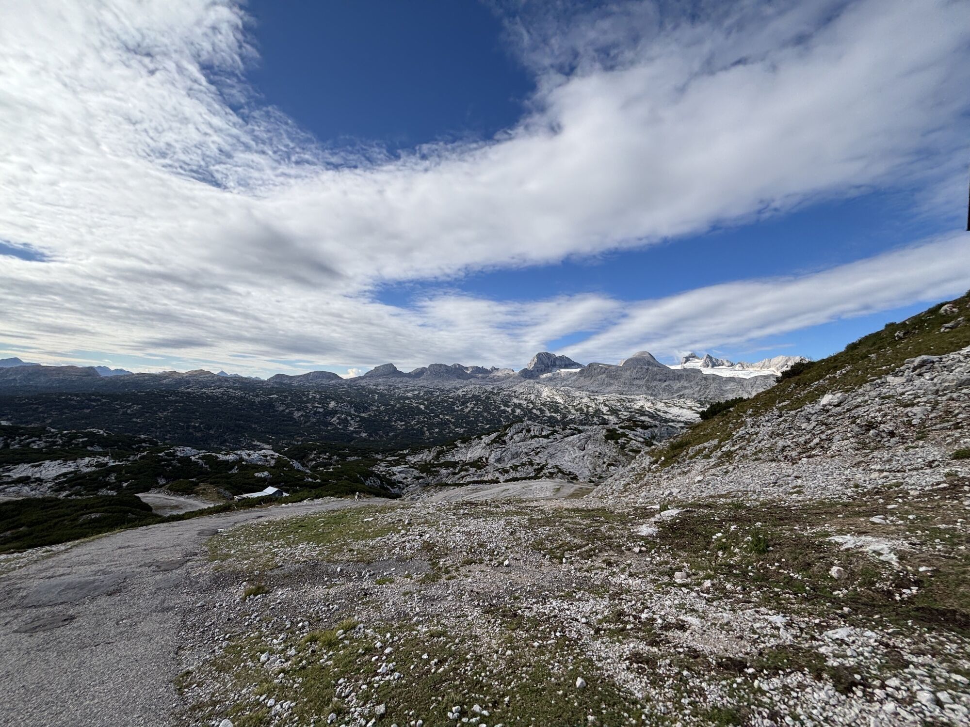

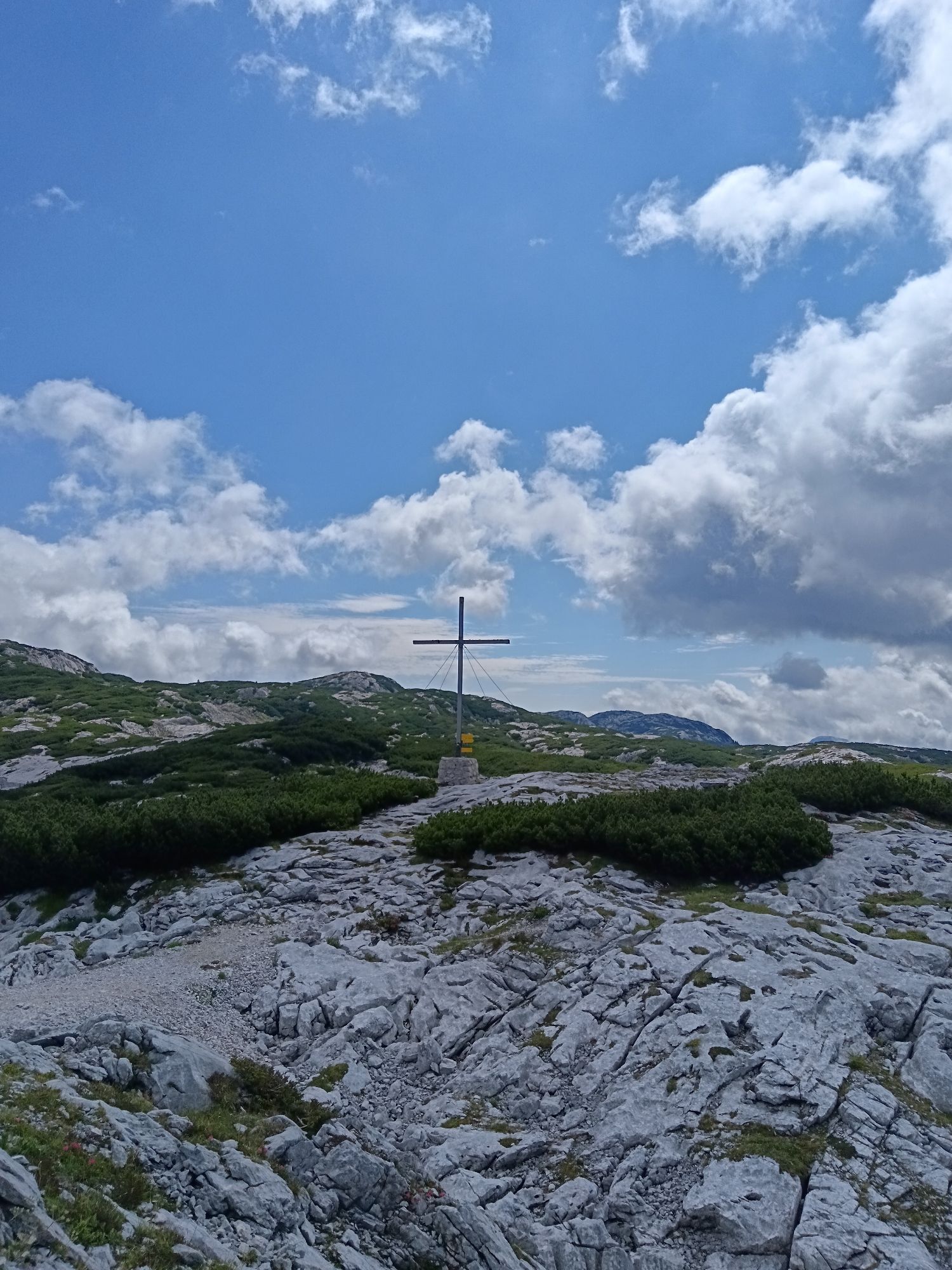
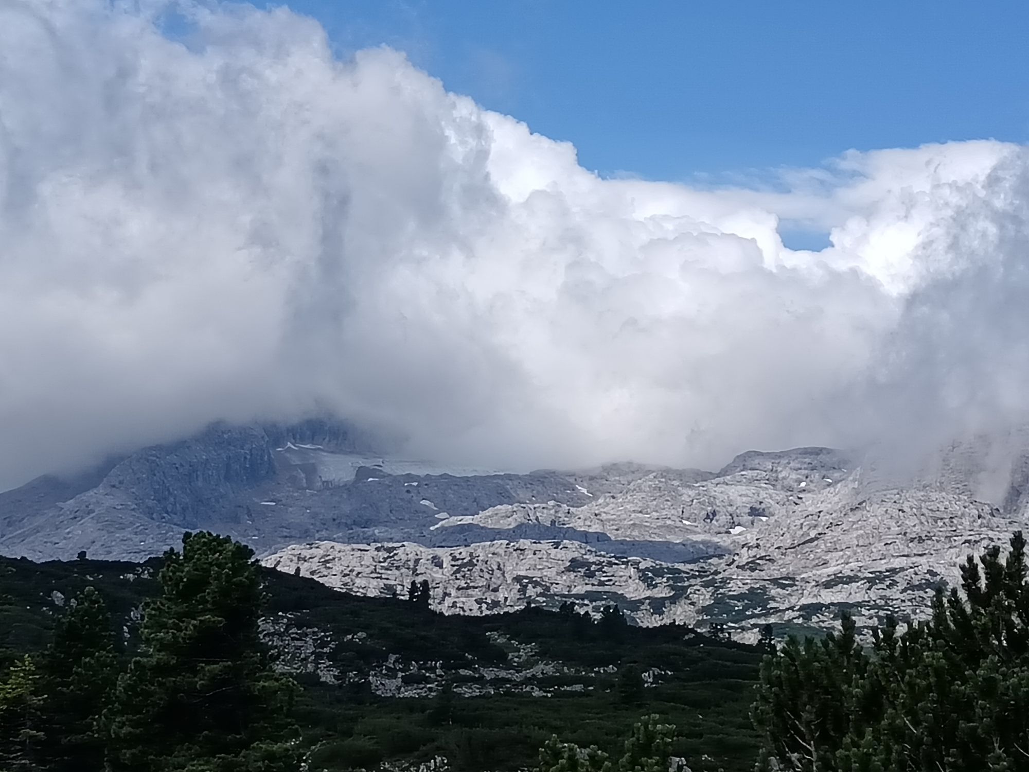
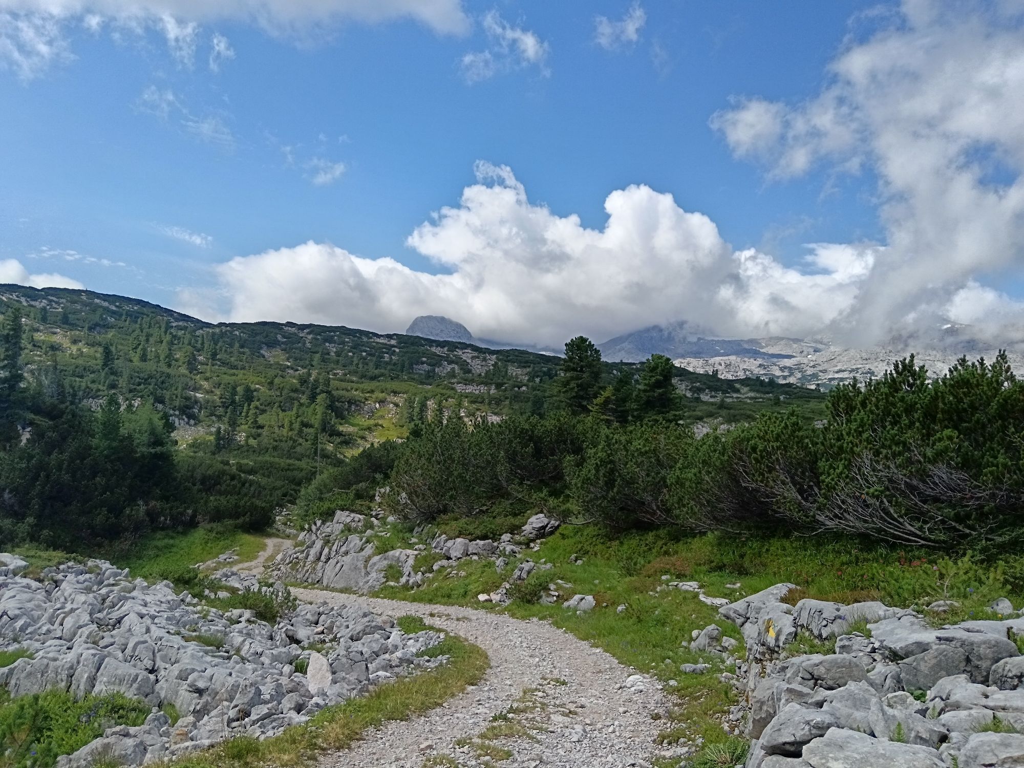
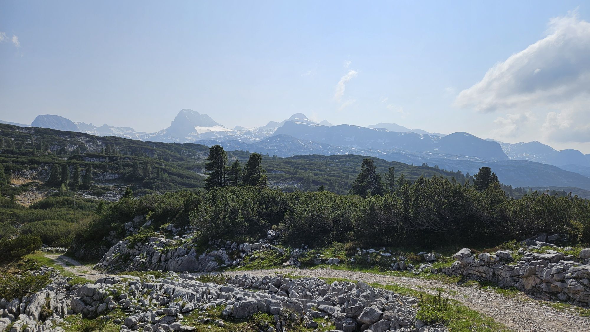
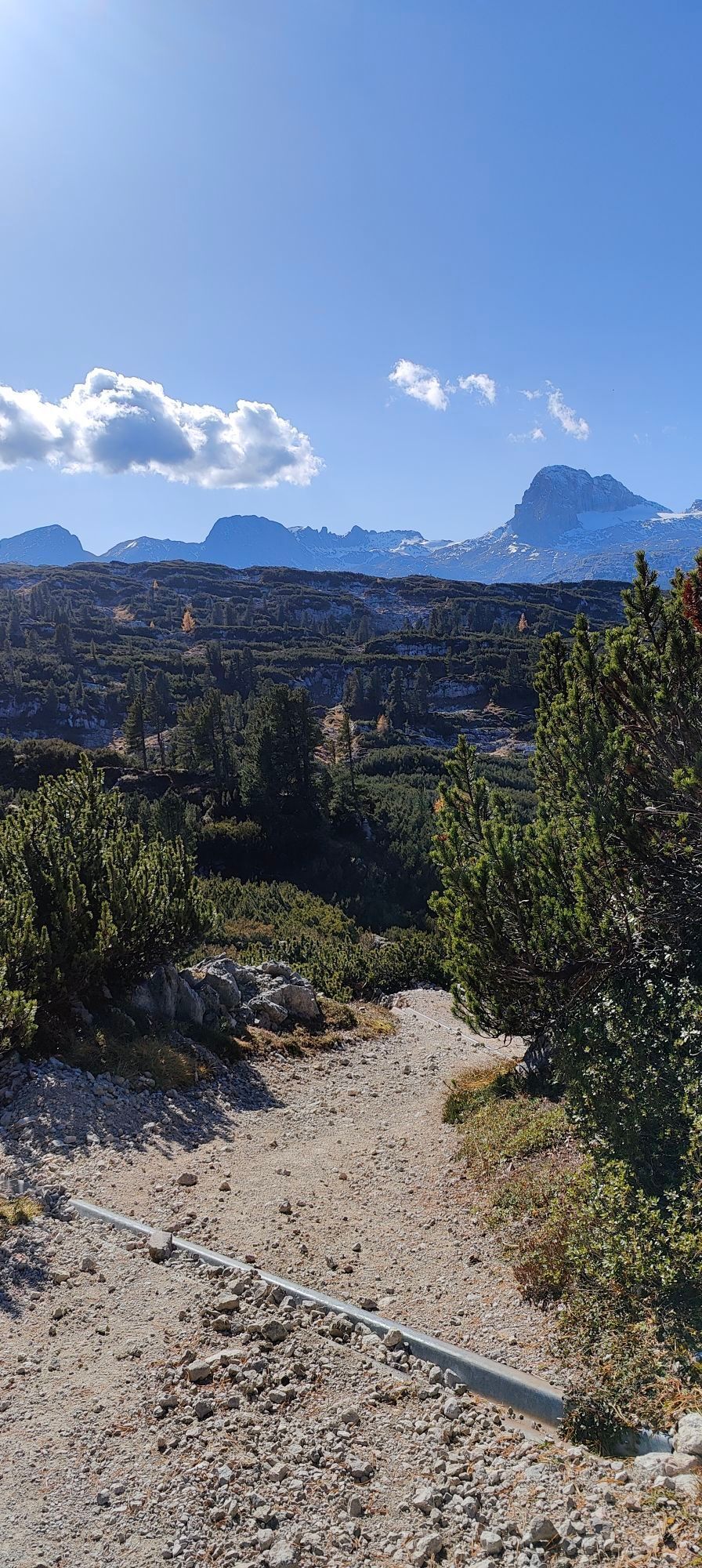
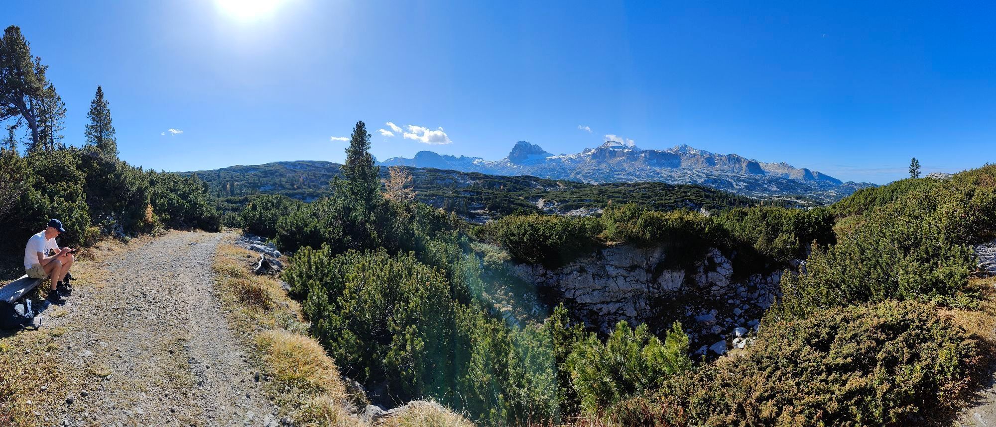
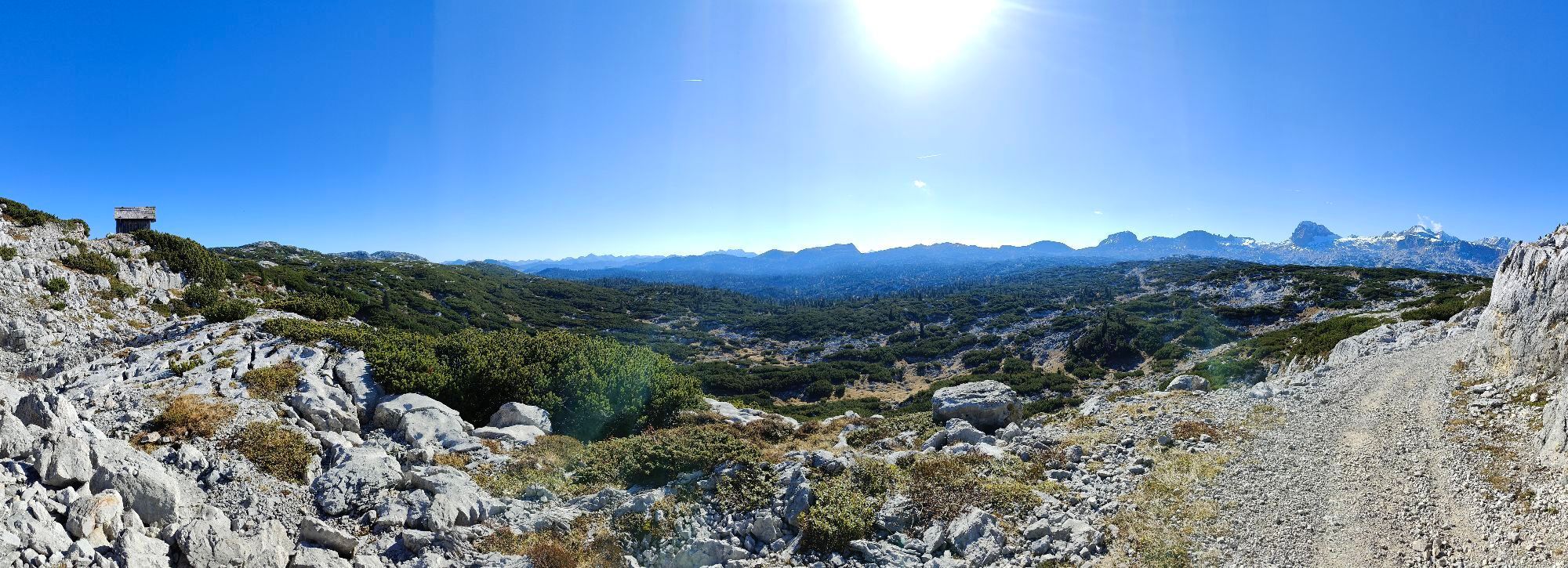
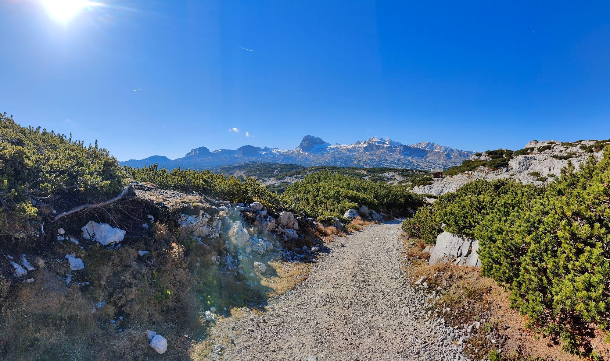
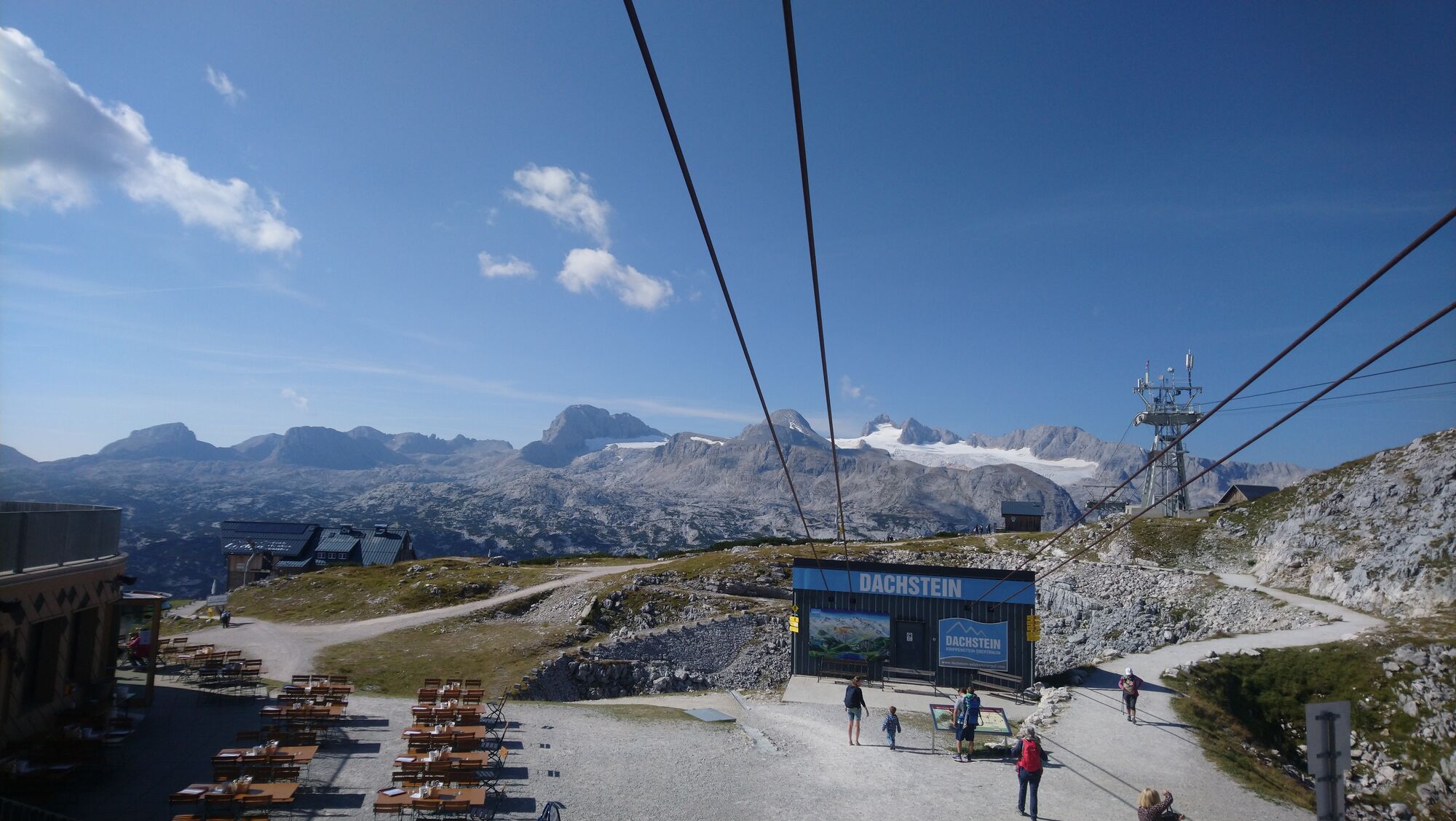
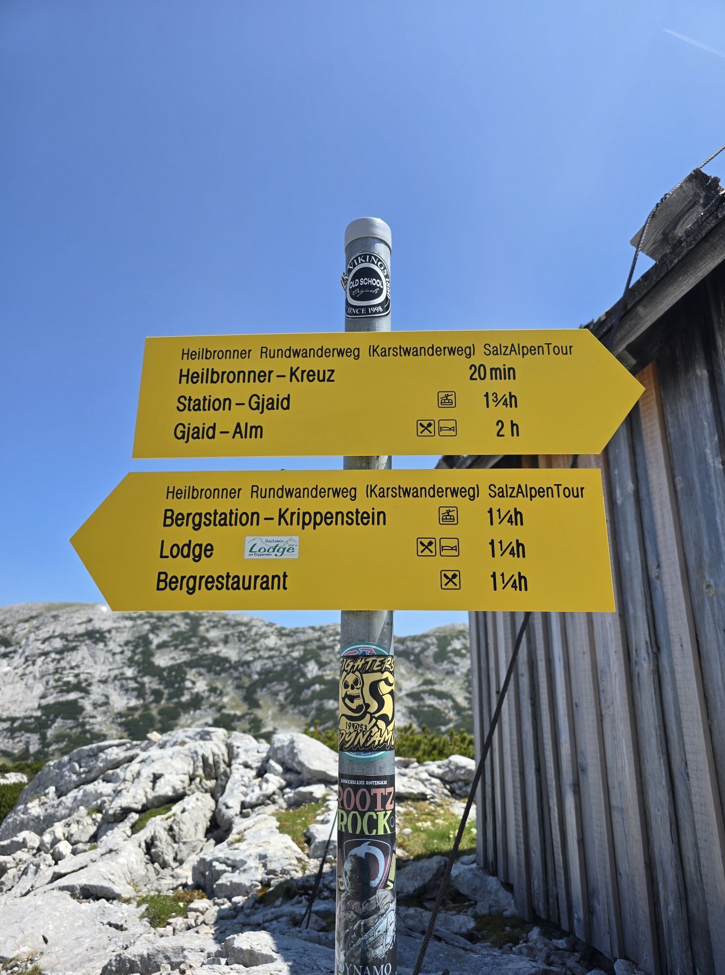
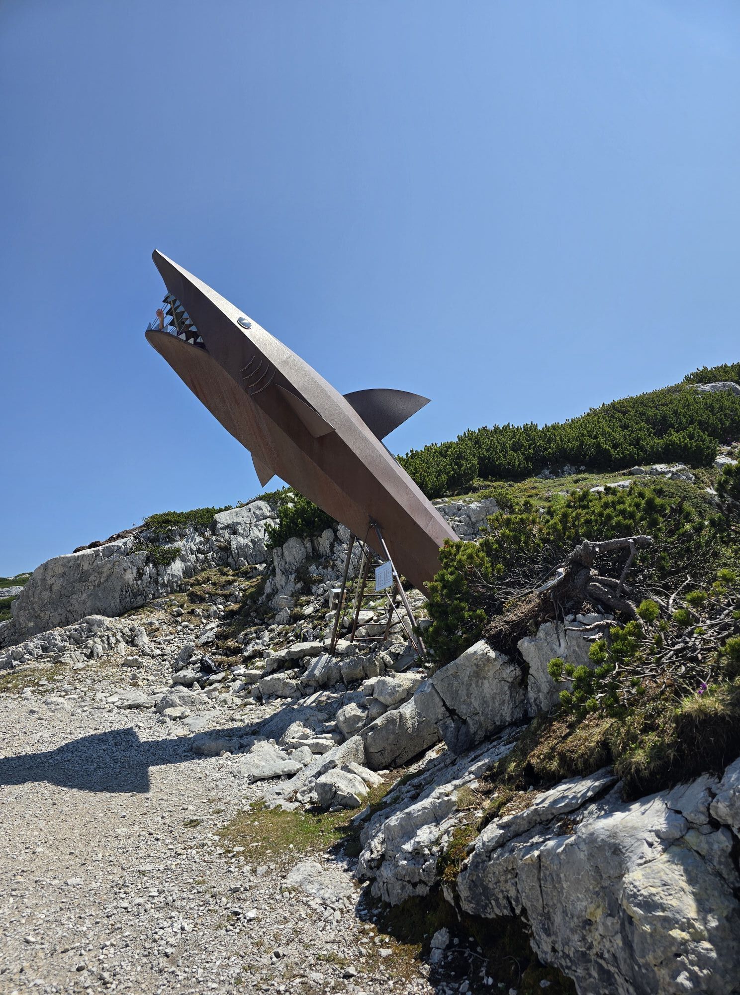
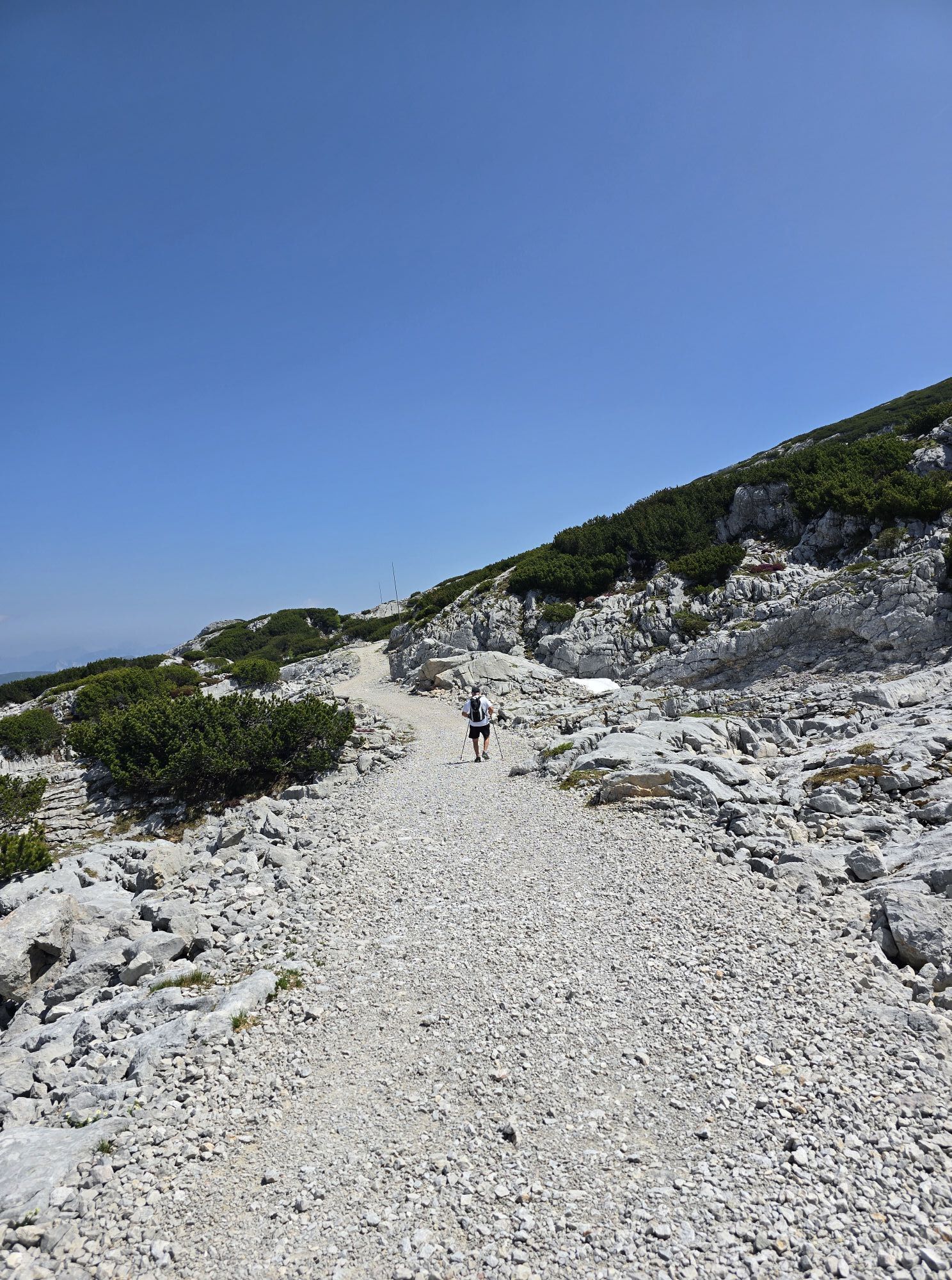
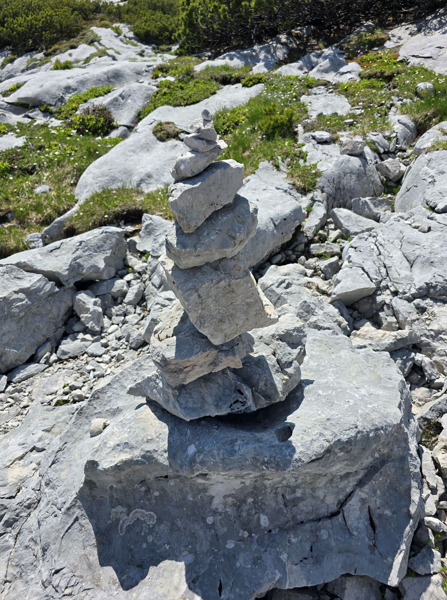
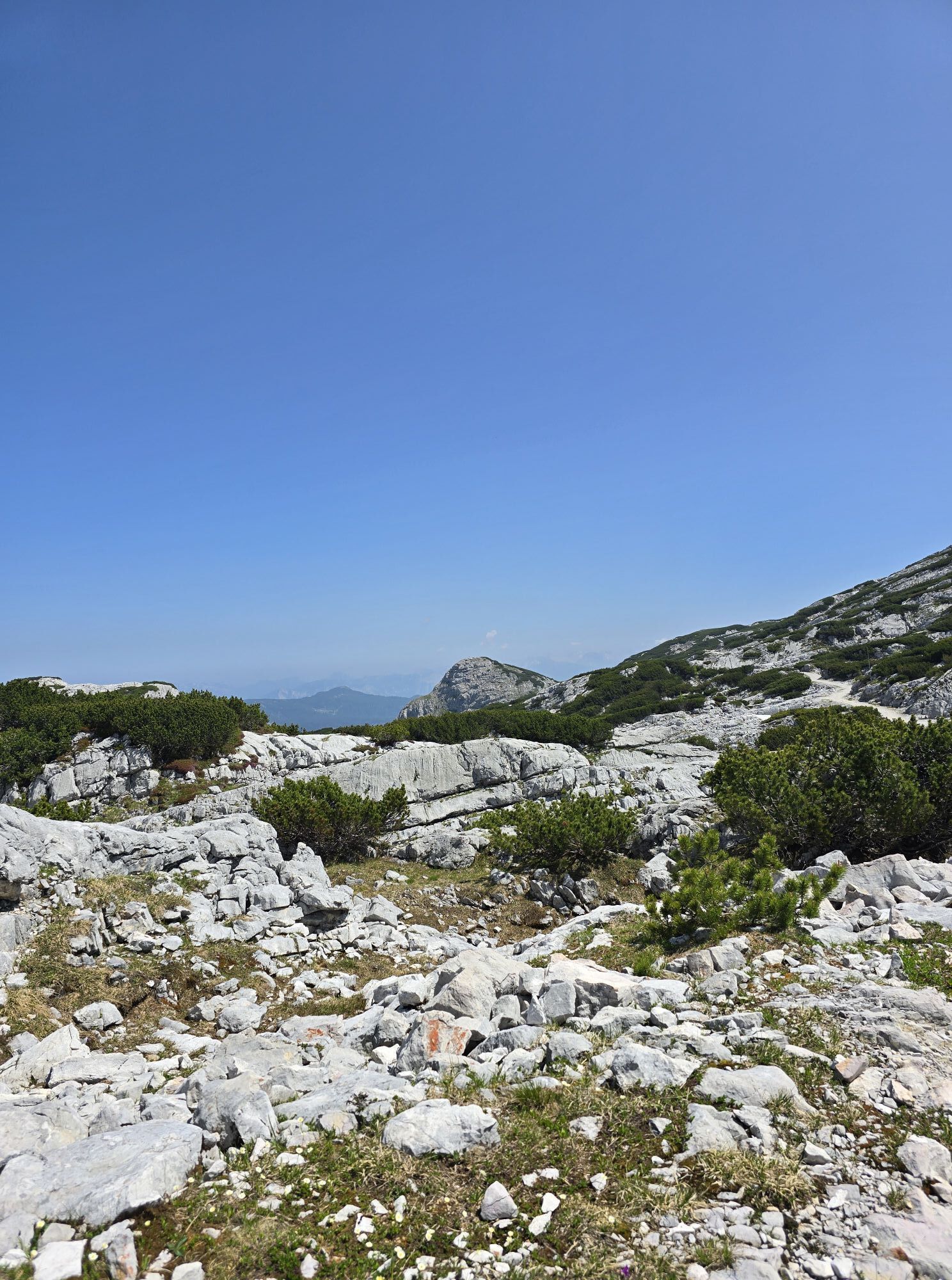
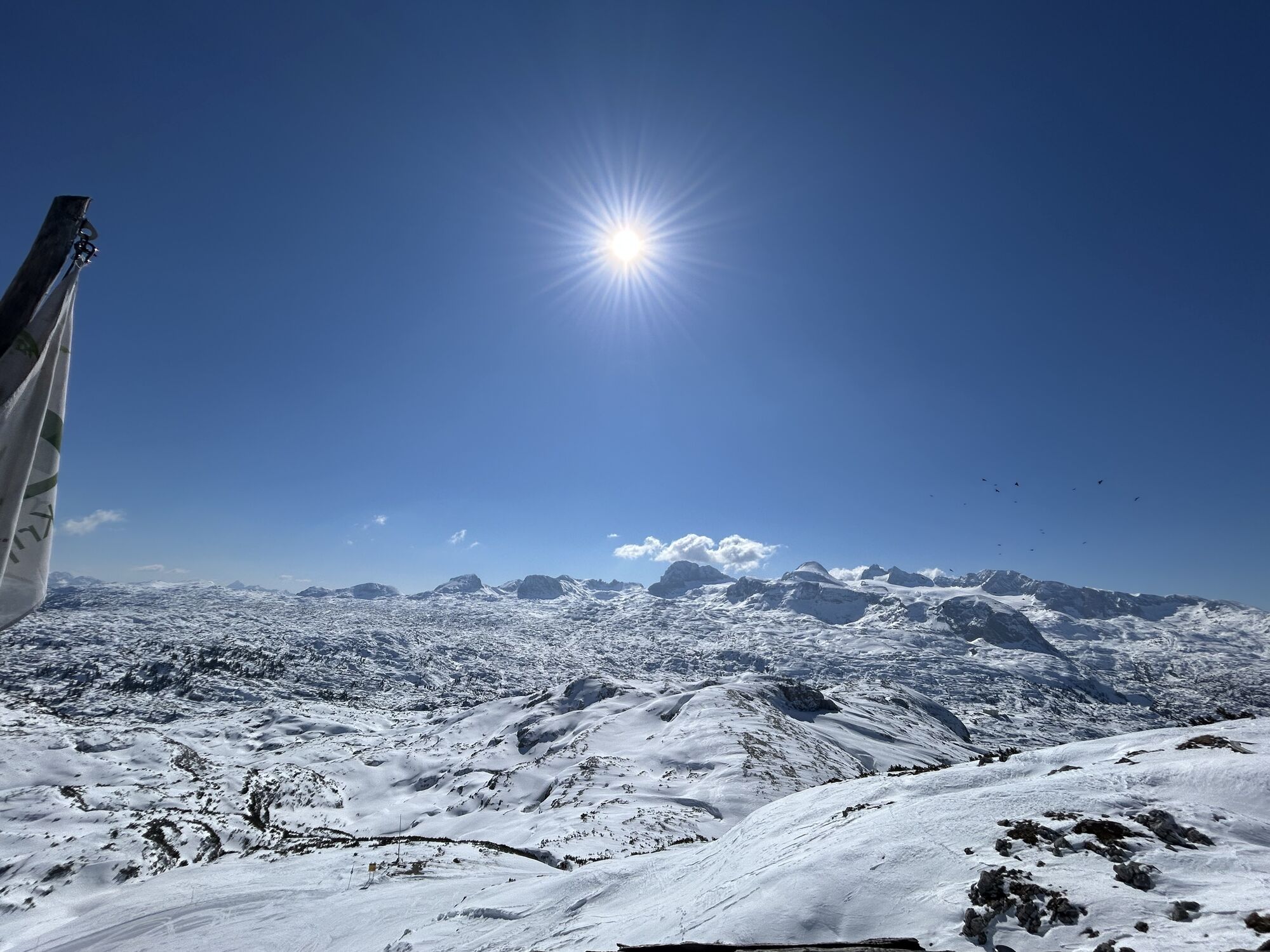
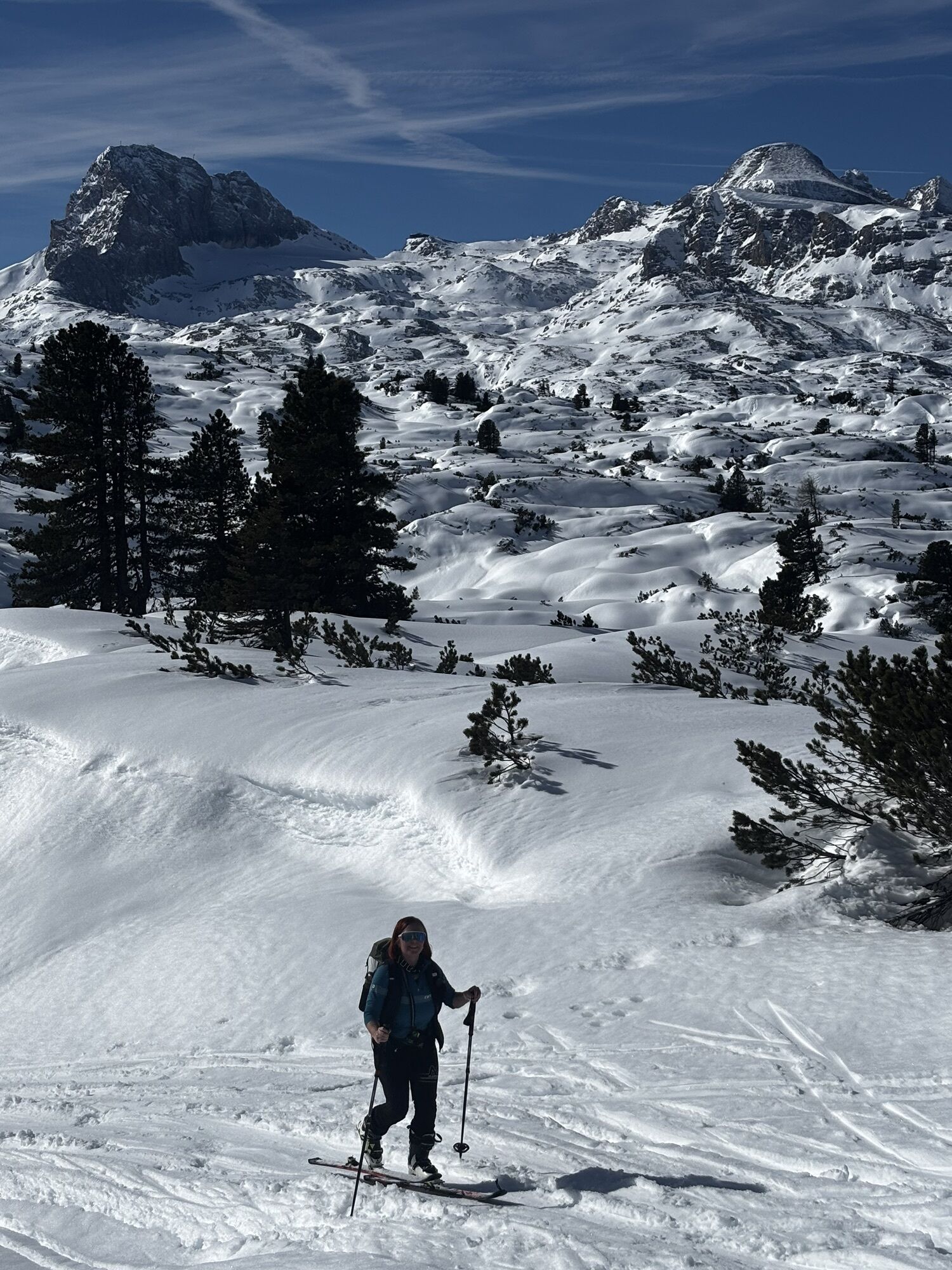
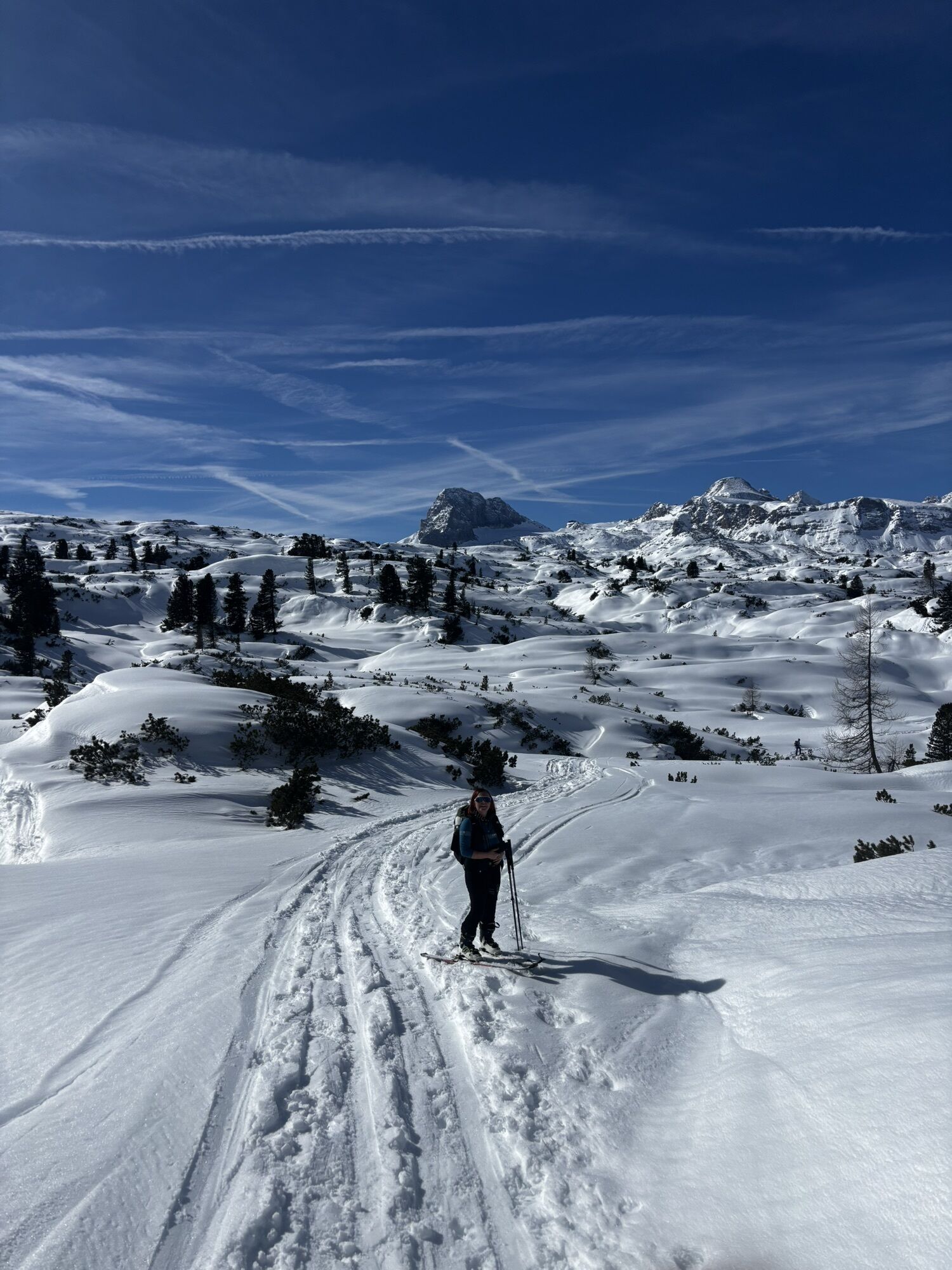
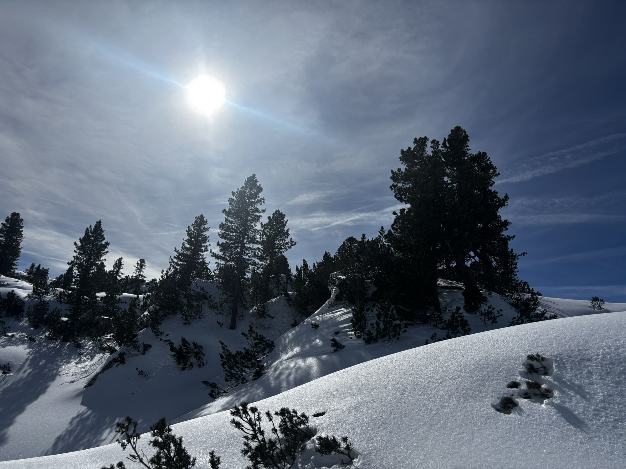
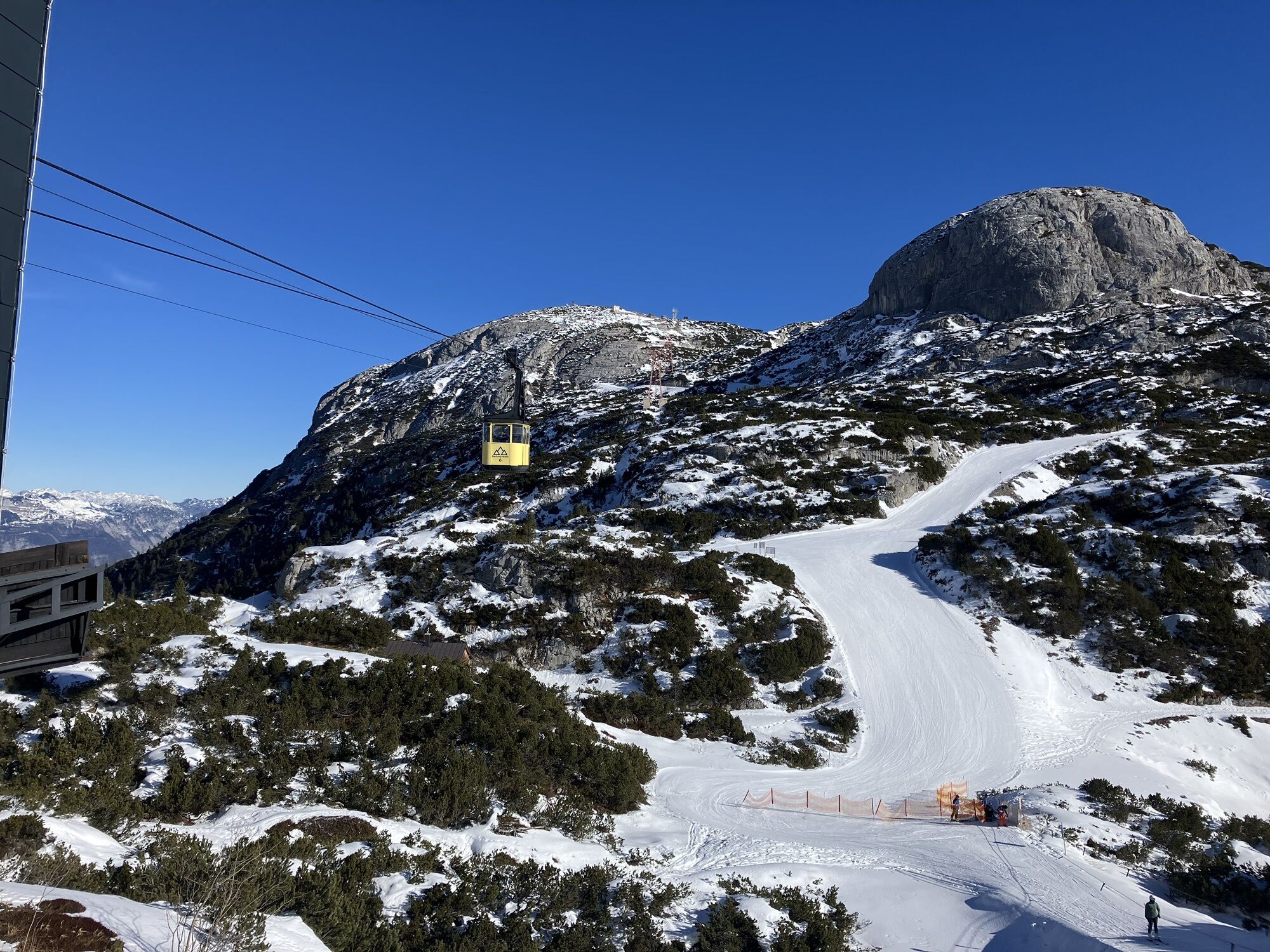
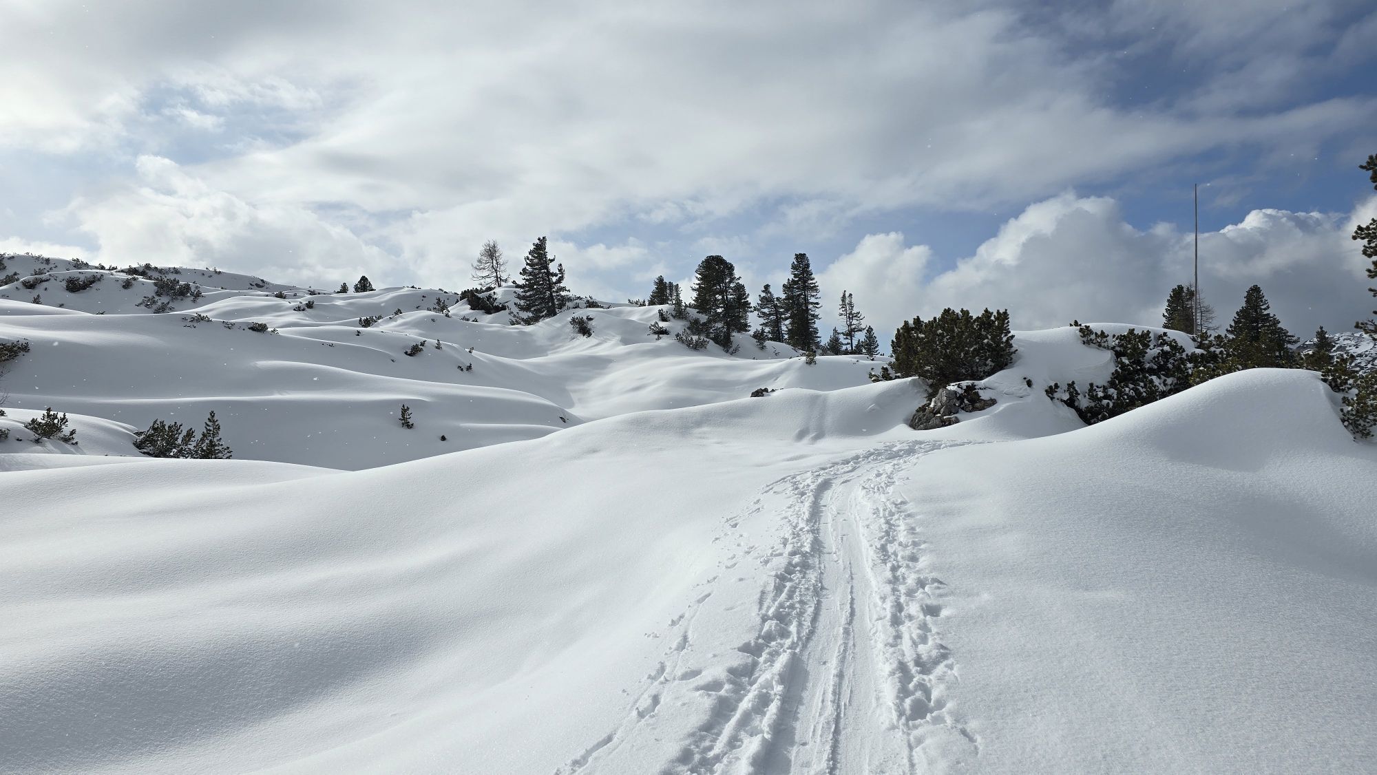
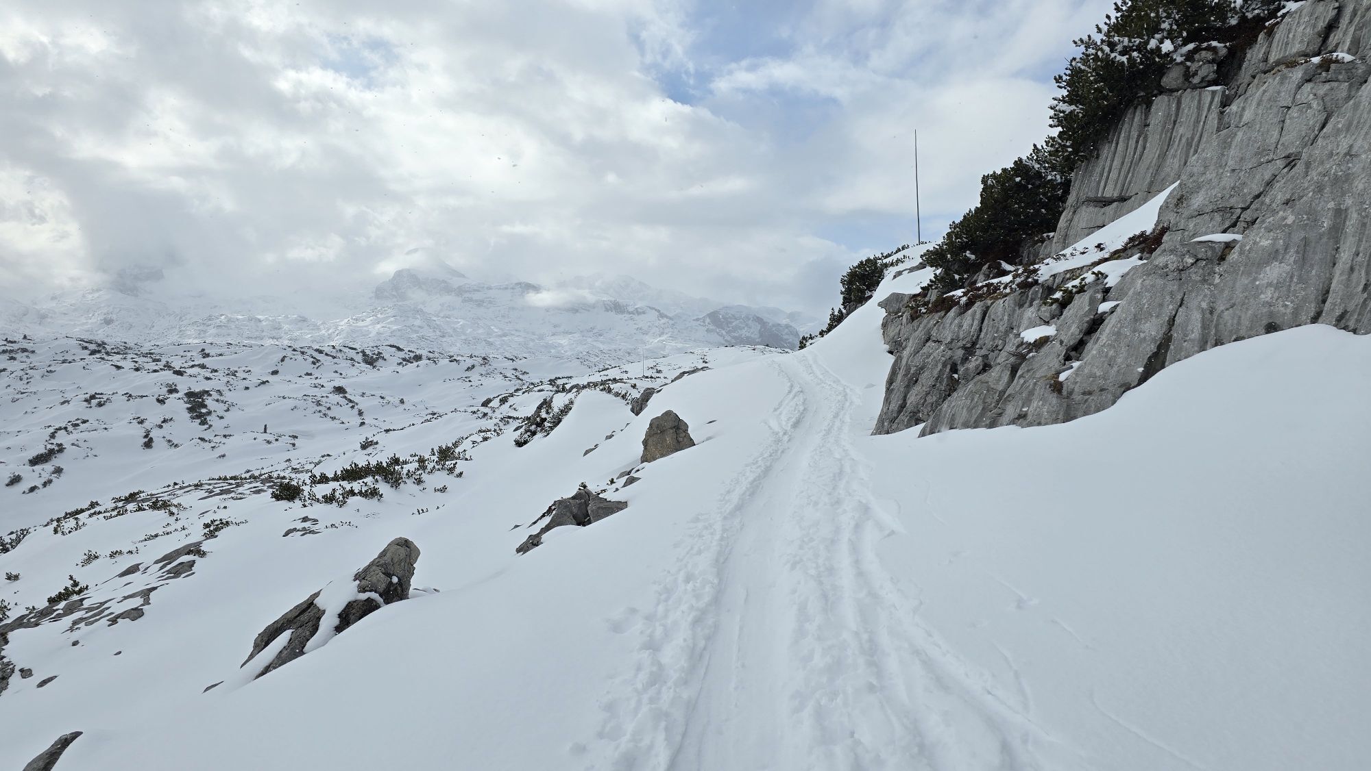
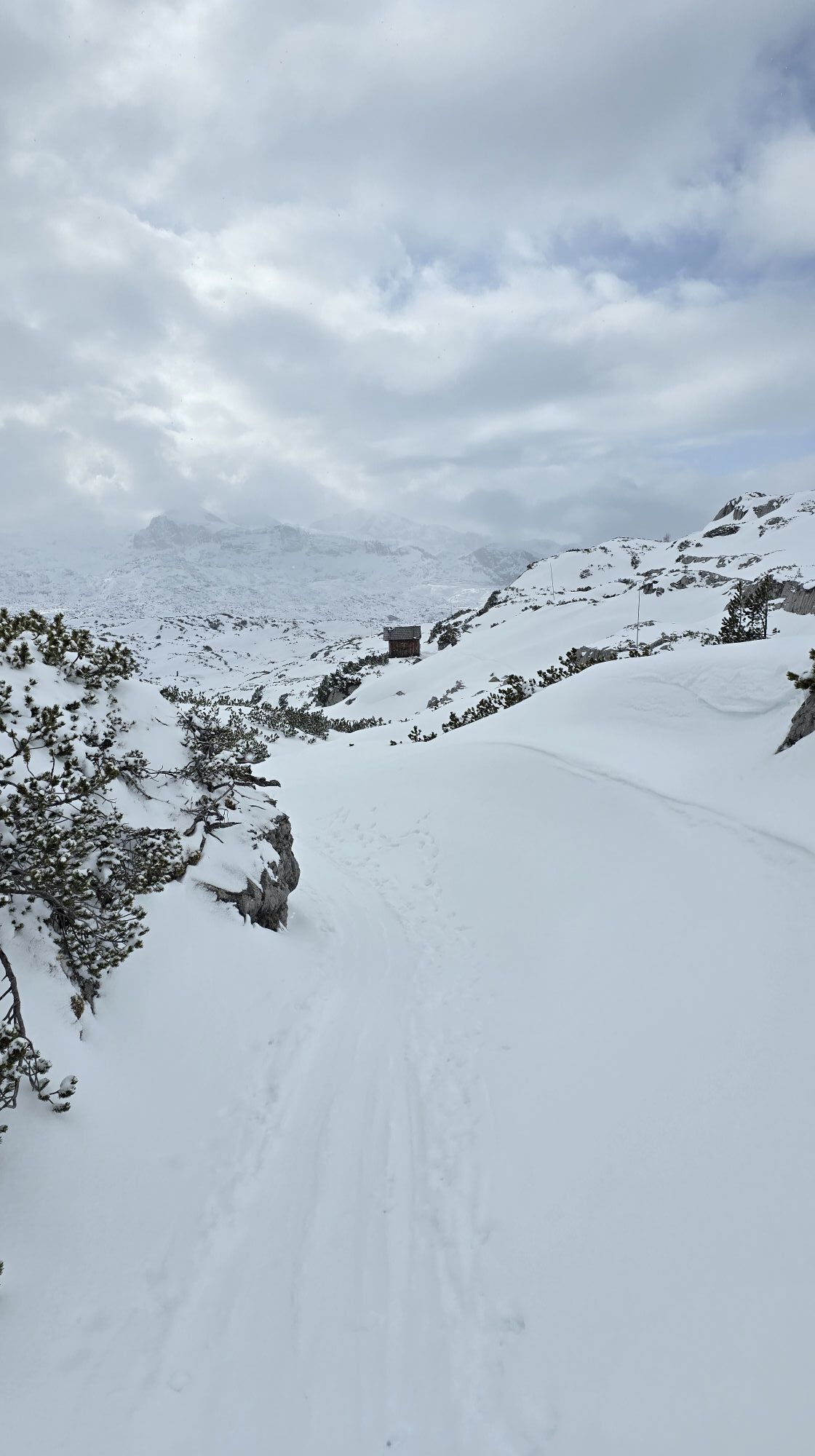
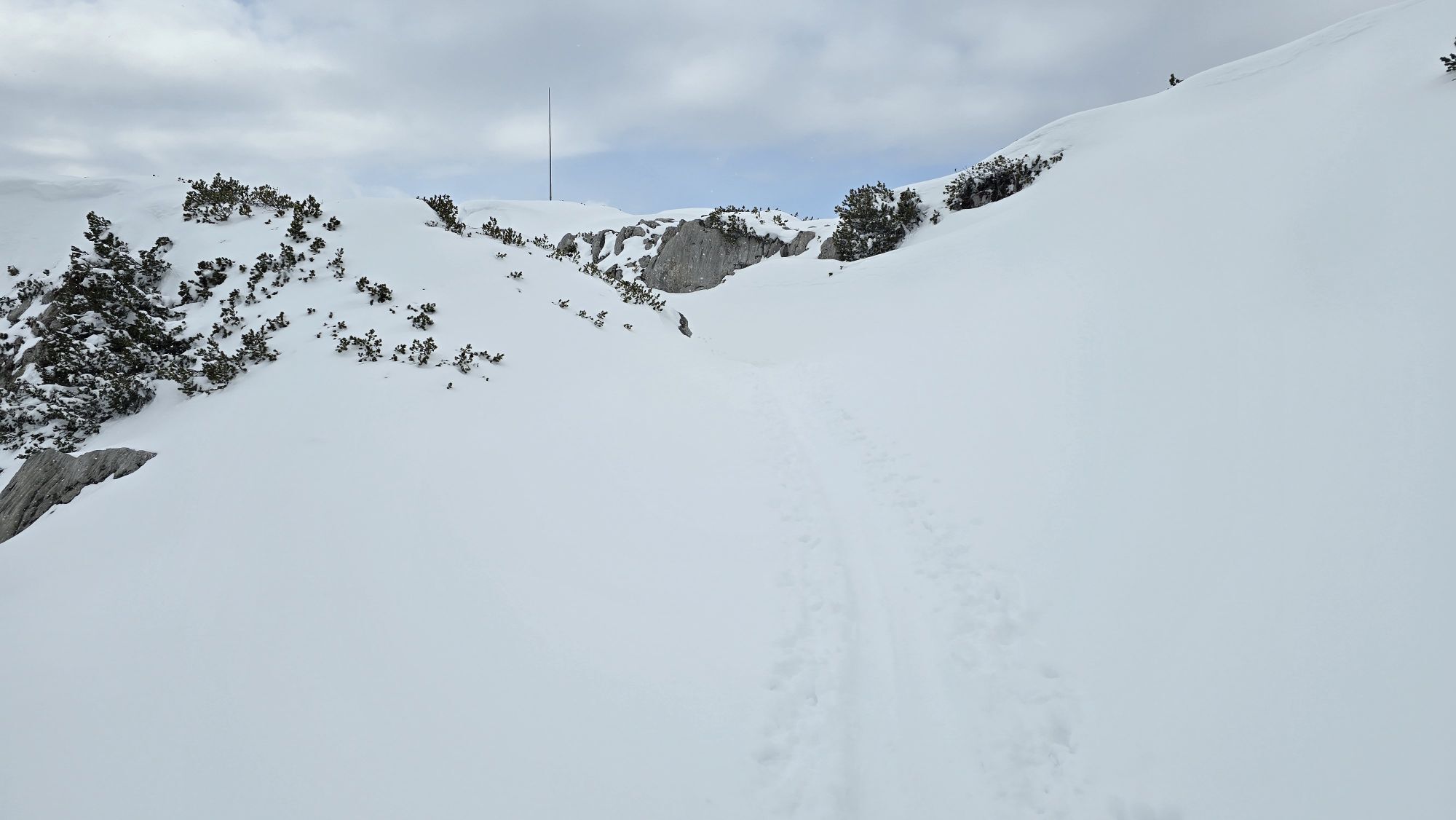
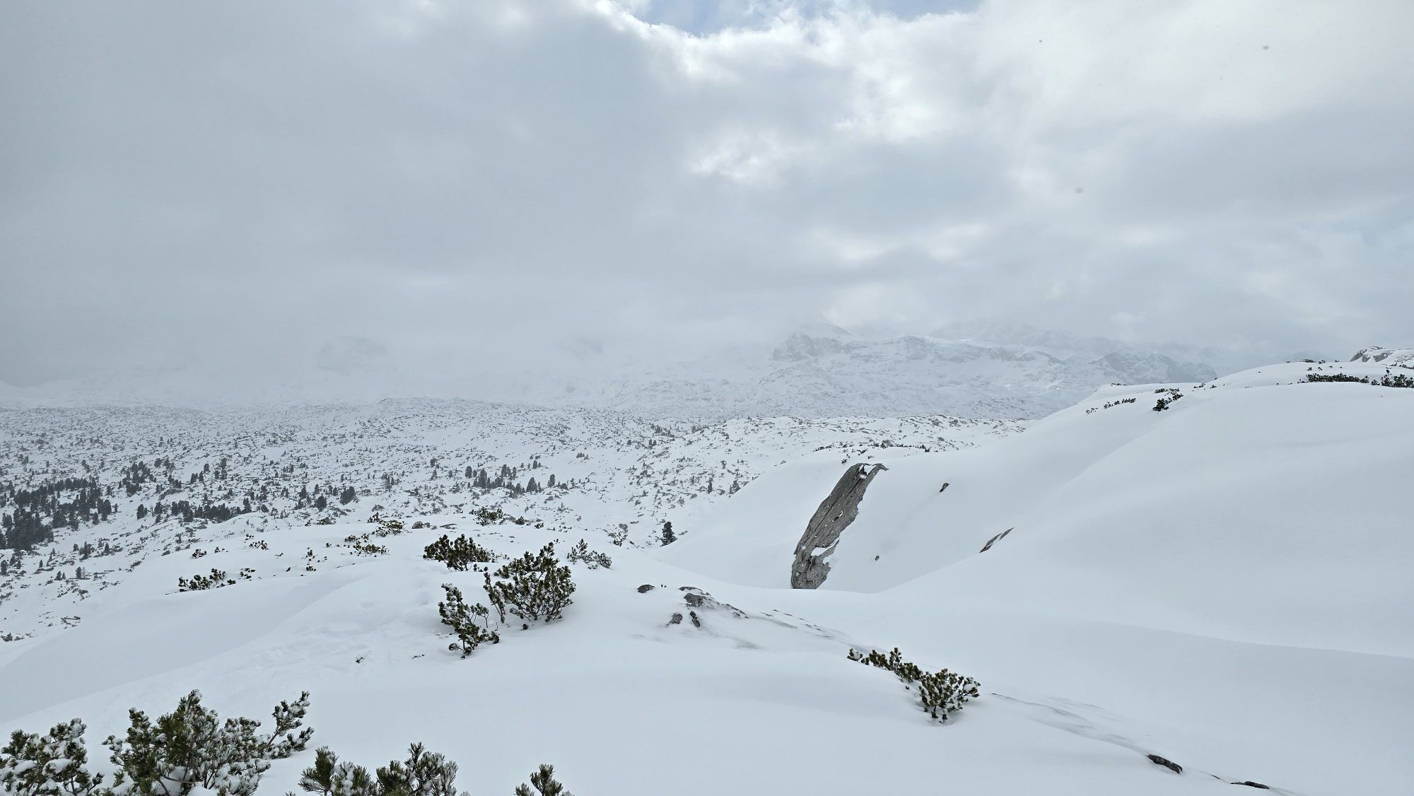
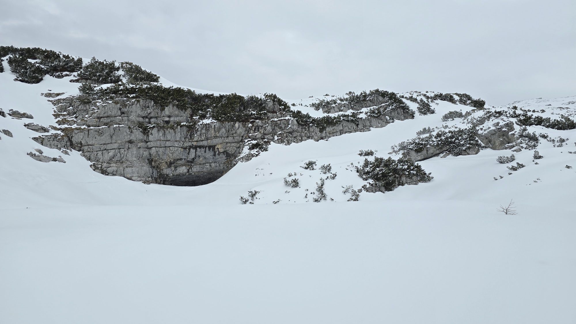
Karst nature trail leads through true "moon landscape"The paths over the Margschierf Ridge and to the Hirzkar Lakes are narrow and lead over rugged rocks - in any case, only walk in safe weather!
To the...
Popis
Karst nature trail leads through true "moon landscape"The paths over the Margschierf Ridge and to the Hirzkar Lakes are narrow and lead over rugged rocks - in any case, only walk in safe weather!
To the east of the High Dachstein, the 280 km² large, rugged and impassable karst plateau "Auf dem Stein" expands. Right in the middle of this area is the Heilbronner Cross, which reminds you of the Dachstein tragedy in 1954: Ten students and three teachers from Heilbronn in Württemberg died here in a snowstorm. Today a broadly laid out nature teaching trail on the subject of "Karst" leads over from the Dachstein Krippenstein - between rocks with strange fossils, razor-sharp carts and mysterious "Karst tables" where the dissolution of the limestone by rainwater is particularly evident.
The hiking tour in detail
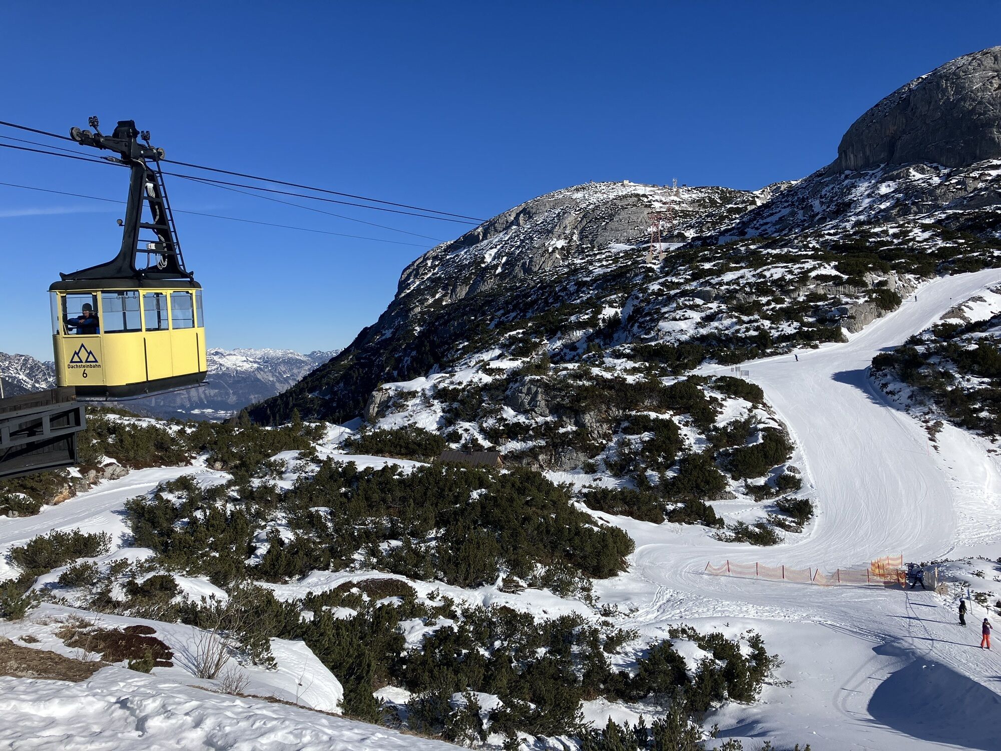
From Obertraun you conquer approx. 1 600 metres in altitude with the Dachstein Krippenstein cable car. At the mountain station you should first visit the pioneer cross under the Krippenstein summit - the view of Lake Hallstatt is breathtaking 1 500 metres deep!
Walk back to the Lodge at the Krippenstein and down over the ski slope to the lift station. From there the karst nature trail leads to the Krippenstein ice cellar (cave) and to the place where it turns left, while two paths branch off to the right.
Choose the straight path No. 661, which climbs over the rocky Margschierf ridge (view of the Dachstein). The descent leads to the Heilbronner Cross, visible from far away. Shortly before you reach the wide karst nature trail again, which you now follow to the right. It leads past a hut and then steeply down into a hollow - past the entrance of path No. 666 at Loskoppen.
The path continues downhill between mountain pines and rocks. After the turnoff of the path to the three little Hirzkar lakes (a worthwhile detour) there is a short ascent, then hike down in serpentines to the ruined mountain pasture Hirzkaralm. Below the walls of the lower Gjaidstein, the path leads to the cable car station Gjaid (the short detour to the Schilcherhaus on the Gjaid Alm is worthwhile).
Shorter variant: From Margschierf back into the hollow at the Krippenstein ice cellar, there turn left on trail No. 662 to the Hirzkar lakes and down to the Karst nature trail.
Order hiking maps of the Dachstein Salzkammergut Region ...
Experience a 360° panorama tour of the Dachstein Krippenstein…
Mountain rescue: 140
To the east of the High Dachstein, the 280 km² large, rugged and impassable karst plateau "Auf dem Stein" expands. Right in the middle of this area is the Heilbronner Cross, which reminds you of the Dachstein tragedy in 1954: Ten students and three teachers from Heilbronn in Württemberg died here in a snowstorm. Today a broadly laid out nature teaching trail on the subject of "Karst" leads over from the Dachstein Krippenstein - between rocks with strange fossils, razor-sharp carts and mysterious "Karst tables" where the dissolution of the limestone by rainwater is particularly evident.
The hiking tour in detail
From Obertraun you conquer approx. 1 600 metres in altitude with the Dachstein Krippenstein cable car. At the mountain station you should first visit the pioneer cross under the Krippenstein summit - the view of Lake Hallstatt is breathtaking 1 500 metres deep!
Walk back to the Lodge at the Krippenstein and down over the ski slope to the lift station. From there the karst nature trail leads to the Krippenstein ice cellar (cave) and to the place where it turns left, while two paths branch off to the right.
Choose the straight path No. 661, which climbs over the rocky Margschierf ridge (view of the Dachstein). The descent leads to the Heilbronner Cross, visible from far away. Shortly before you reach the wide karst nature trail again, which you now follow to the right. It leads past a hut and then steeply down into a hollow - past the entrance of path No. 666 at Loskoppen.
The path continues downhill between mountain pines and rocks. After the turnoff of the path to the three little Hirzkar lakes (a worthwhile detour) there is a short ascent, then hike down in serpentines to the ruined mountain pasture Hirzkaralm. Below the walls of the lower Gjaidstein, the path leads to the cable car station Gjaid (the short detour to the Schilcherhaus on the Gjaid Alm is worthwhile).
Shorter variant: From Margschierf back into the hollow at the Krippenstein ice cellar, there turn left on trail No. 662 to the Hirzkar lakes and down to the Karst nature trail.
Order hiking maps of the Dachstein Salzkammergut Region ...
Experience a 360° panorama tour of the Dachstein Krippenstein…
Mountain rescue: 140
Trasa
Bergrestaurant Dachstein Krippenstein
(2066 m)
Restaurace
0.0 km
Lodge
(2055 m)
Úkryt
0.2 km
Margschierf
(2080 m)
Summit
1.7 km
Trasa
Margschierf
střední
Turistika
7.61
km
Bergrestaurant Dachstein Krippenstein
(2066 m)
Restaurace
0.0 km
Lodge
(2055 m)
Úkryt
0.2 km
Margschierf
(2080 m)
Summit
1.7 km

Naposledy sledované
před 2 týdny

Informace o trase
Vhodné pro rodiny
Ano
Oceňování
1 Komentář:
Friedrich Enzendorfer

31. Okt. 2024
Herrlich am Dachsteinkalk zu gehen ❤️
Získejte přehled
Vždy živě na místě s více než 9 500 webkamerami. bergfex Jako uživatel Pro si nyní můžete zobrazit odpovídající webové kamery pro mnoho prohlídek v aplikaci prohlídky z. Můžete si tak přímo prohlédnout aktuální podmínky.

Oblíbené prohlídky v okolí
-
4.4
Ramsau am Dachstein: Steinerne Jungfrauen
Turistika 8.11 km -
4.2
Heilbronner Rundwanderweg
světloTuristika 9.04 km -
4.3
Filzmoos: Rötelstein (Rettenstein)
Turistika 9.50 km -
3.8
Ostuferwanderweg
světloTuristika 16.2 km -
4.8
Planai Runde | 304
středníMountainbike 34.1 km -
4.7
Stoderzinken Gipfelrundweg
středníTuristika 4.94 km -
4.7
Tor-Wanderung
heavyTuristika 14.2 km -
4.7
Tour around the Lake Gosau
světloTuristika 4.43 km -
4.5
Adamekhütte vom Vorderen Gosausee
středníTuristika 23.2 km -
4.9
„Hoher Sarstein 1975m“ - Hallstätter Genusstour - Hallstatt - Obertraun - Bad Ischl
heavyTuristika 23.2 km
Pěší turistika a stopování

Více než 550.000 návrhů výletů, podrobné mapy a intuitivní plánovač tras dělají z aplikace nezbytnou výbavu pro všechny milovníky přírody.

Nenechte si ujít nabídky a inspiraci pro vaši příští dovolenou
Přihlaste se k odběru newsletteru
Chyba
Došlo k chybě. Zkuste to prosím znovu.
Děkujeme za vaši registraci
Vaše e-mailová adresa byl přidán do poštovního seznamu.
Zájezdy po celé Evropě
Rakousko
Švýcarsko
Německo
Itálie
Slovenia
Francie
Nizozemsko
Belgie
Polsko
Lichtenštejnsko
Česko
Slovensko
Španělsko
Chorvatsko
Bosna a Hercegovina
Lucembursko
Andorra
Portugal
Iceland
United Kingdom
Ireland
Greece
Albania
North Macedonia
Malta
Norway
Montenegro
Moldova
Kosovo
Hungary
San Marino
Romania
Estonia
Latvia
Belarus
Cyprus
Lithuania
Serbia
Bulgaria
Monaco
Denmark
Sweden
Finland





