







Through the Koppenwinkel
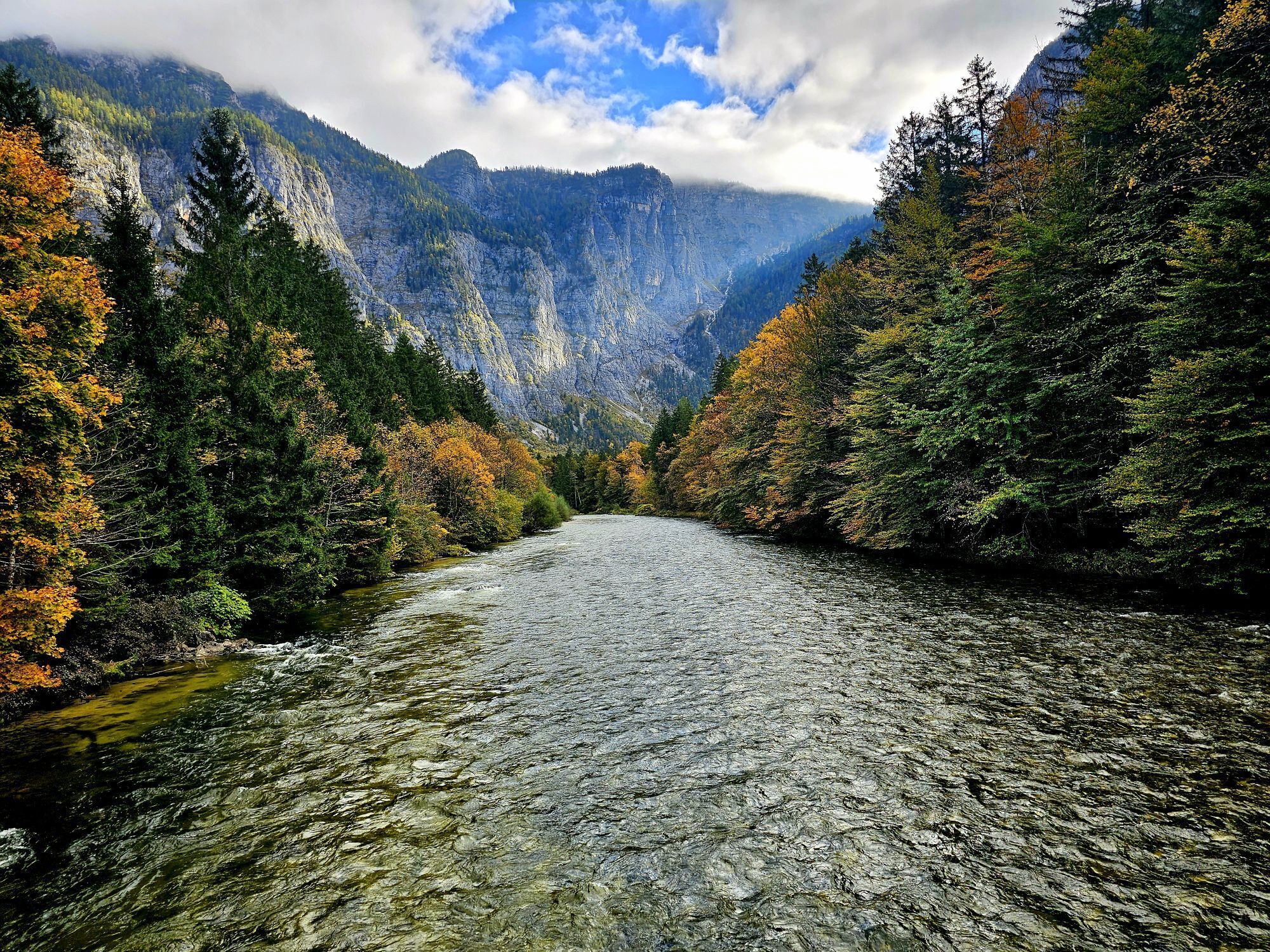
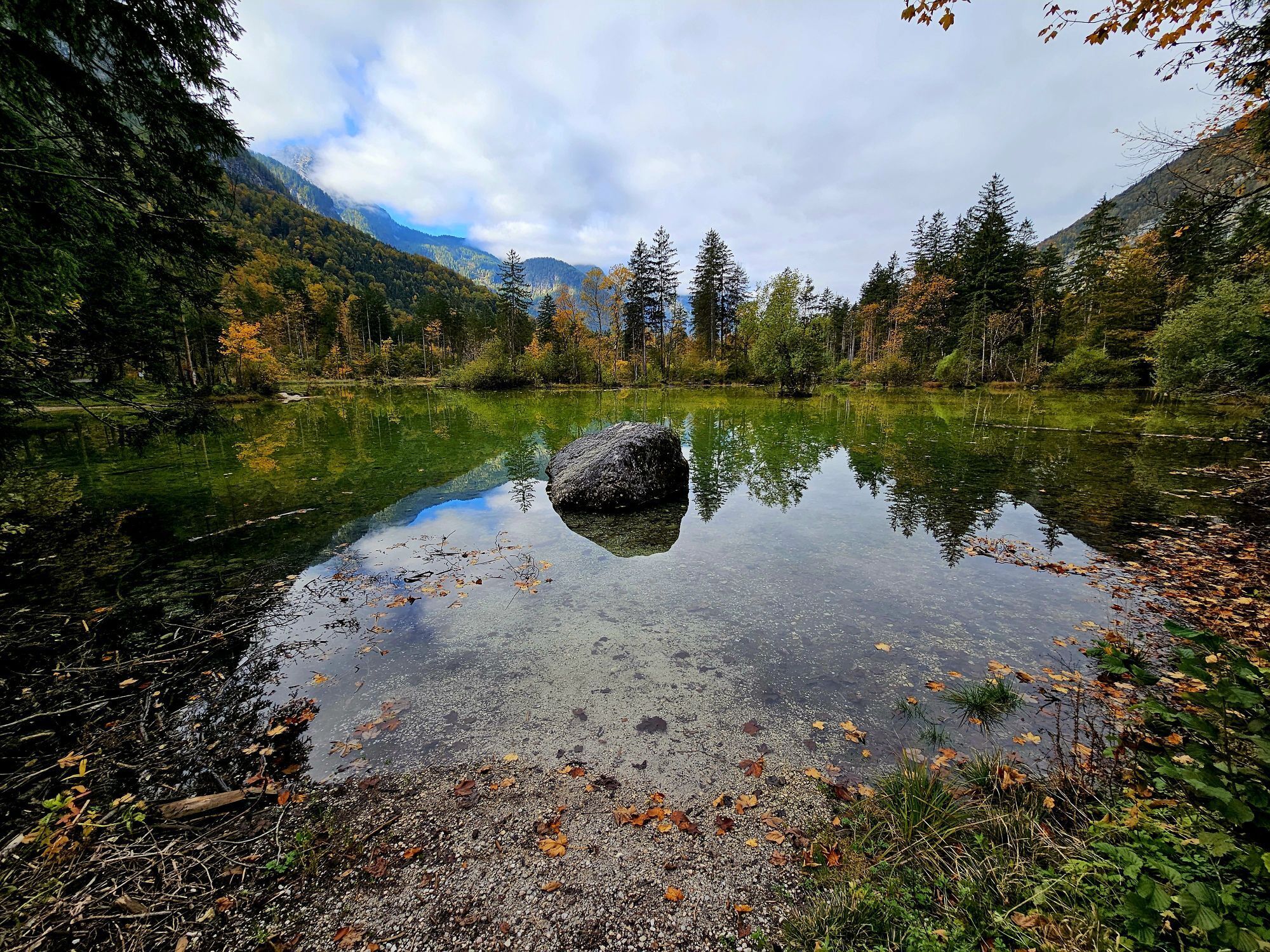
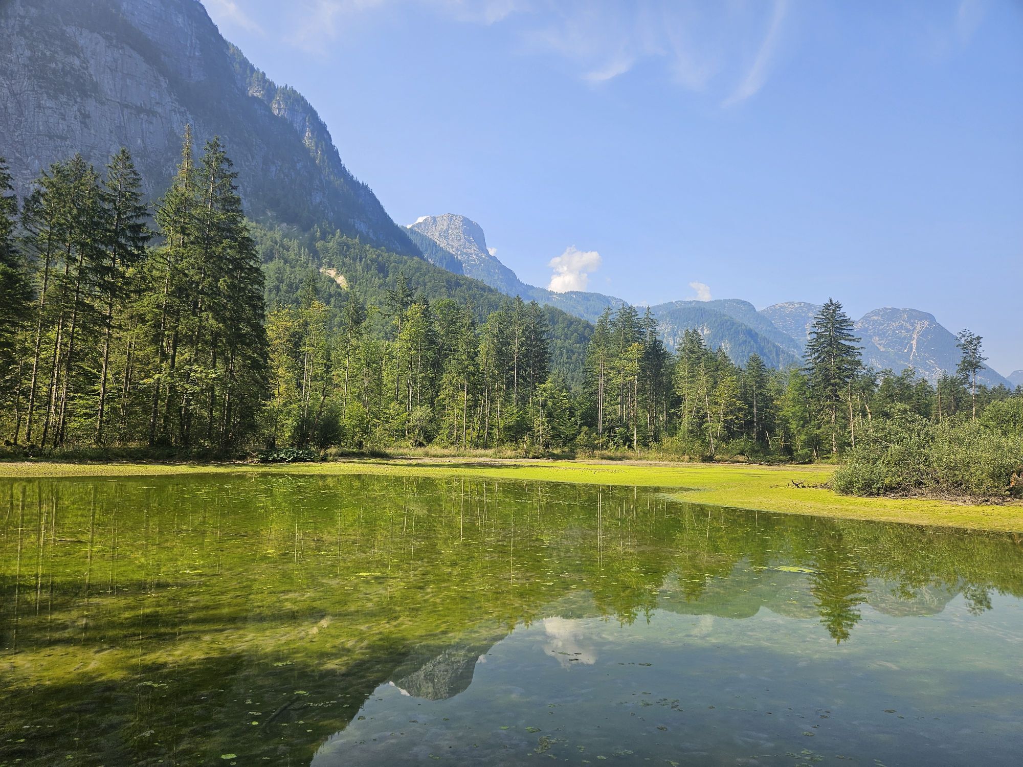
Themed trail with small wonders of nature
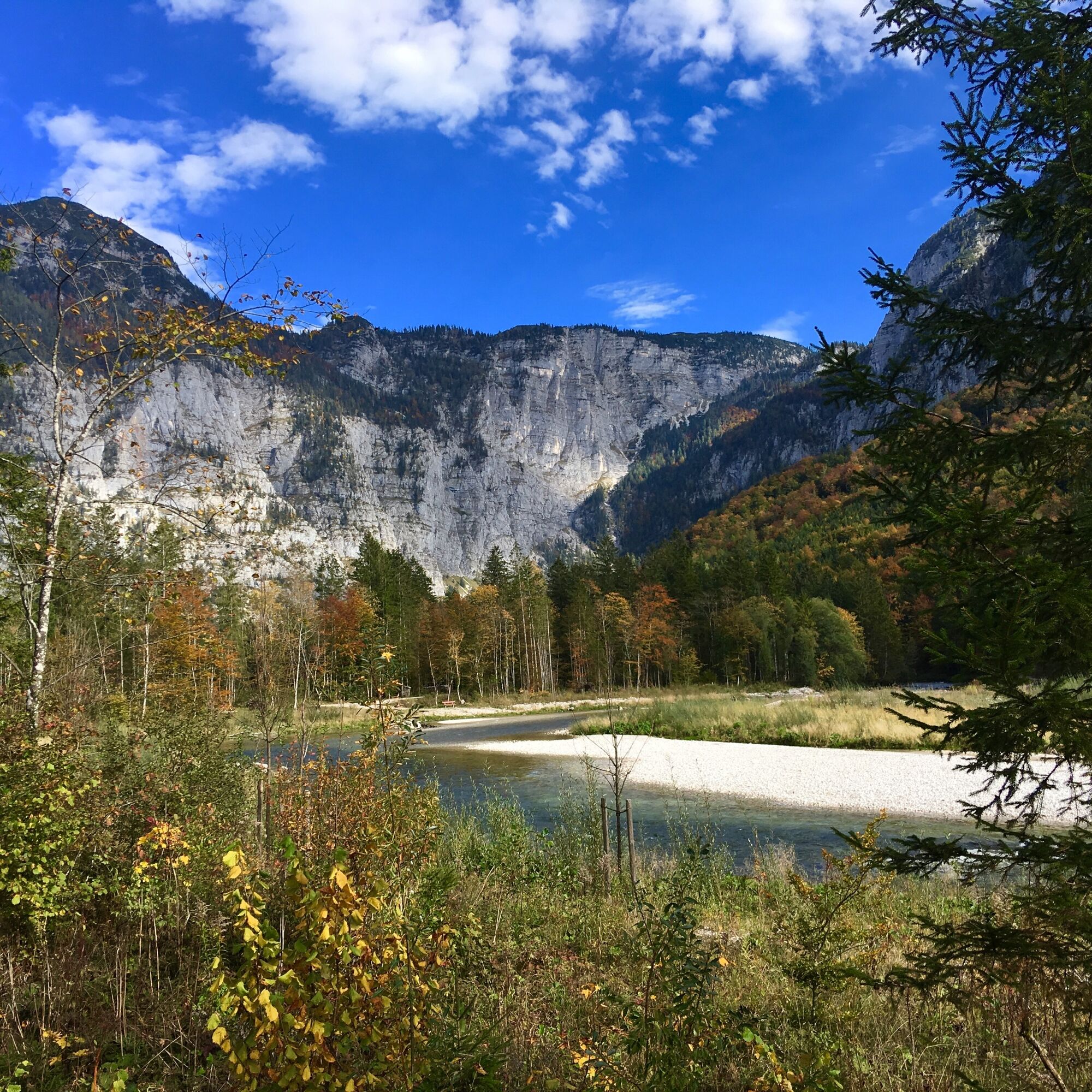
Constant dripping wears away the stone - and produces all sorts of other wondrous things. This can be seen in the Koppenwinkel, a romantic basin beneath the giant...
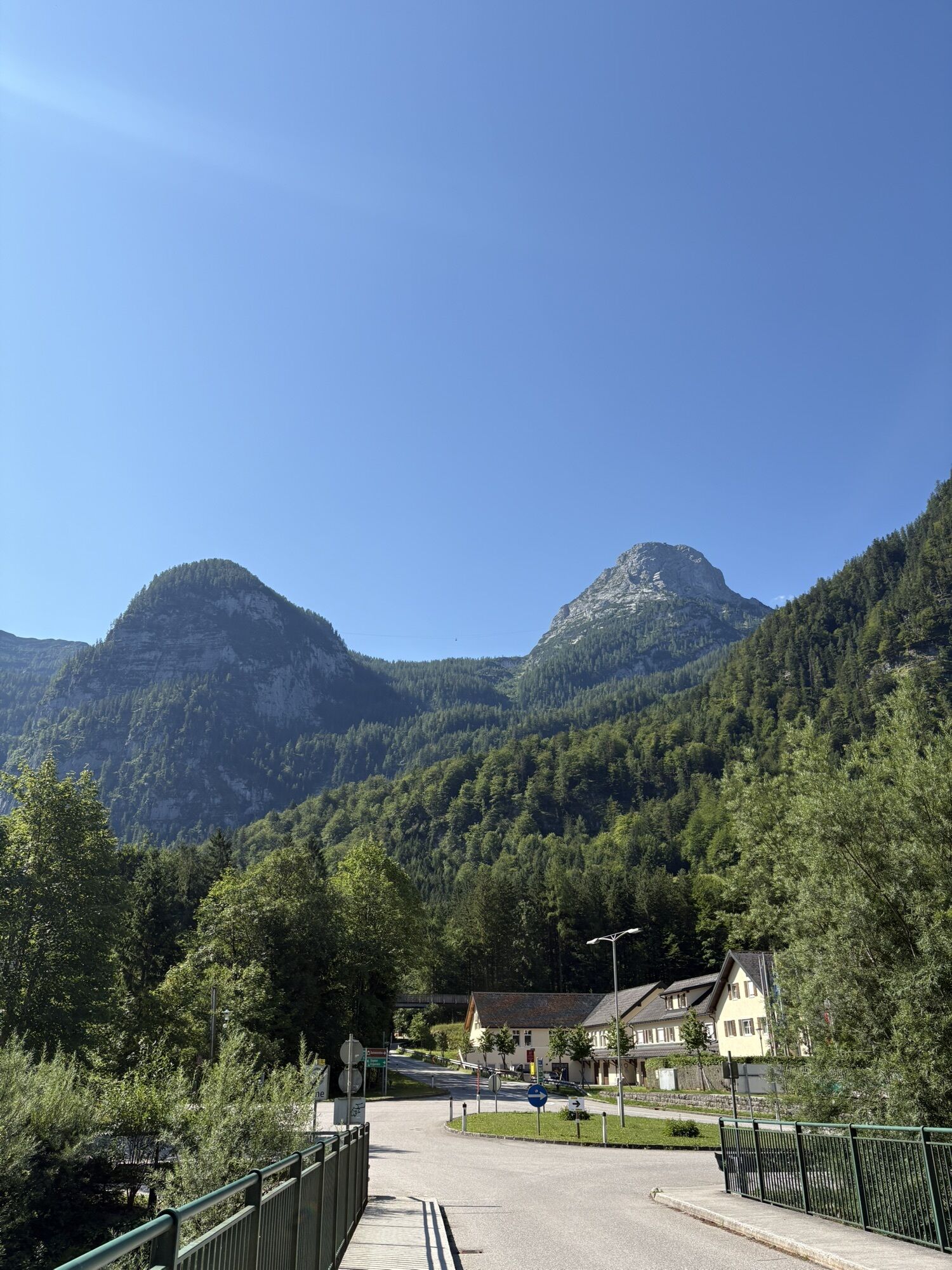
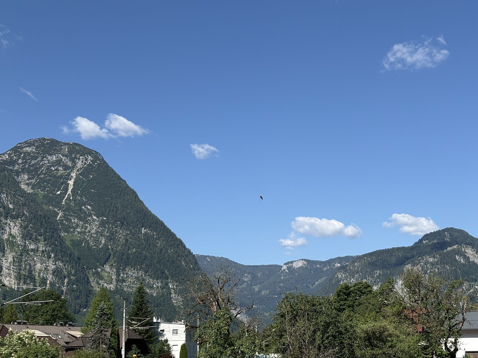
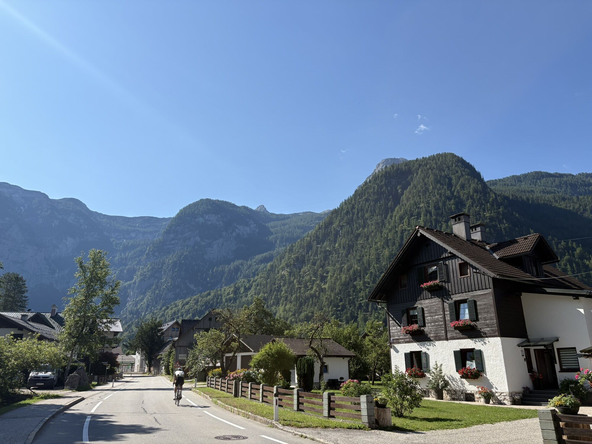
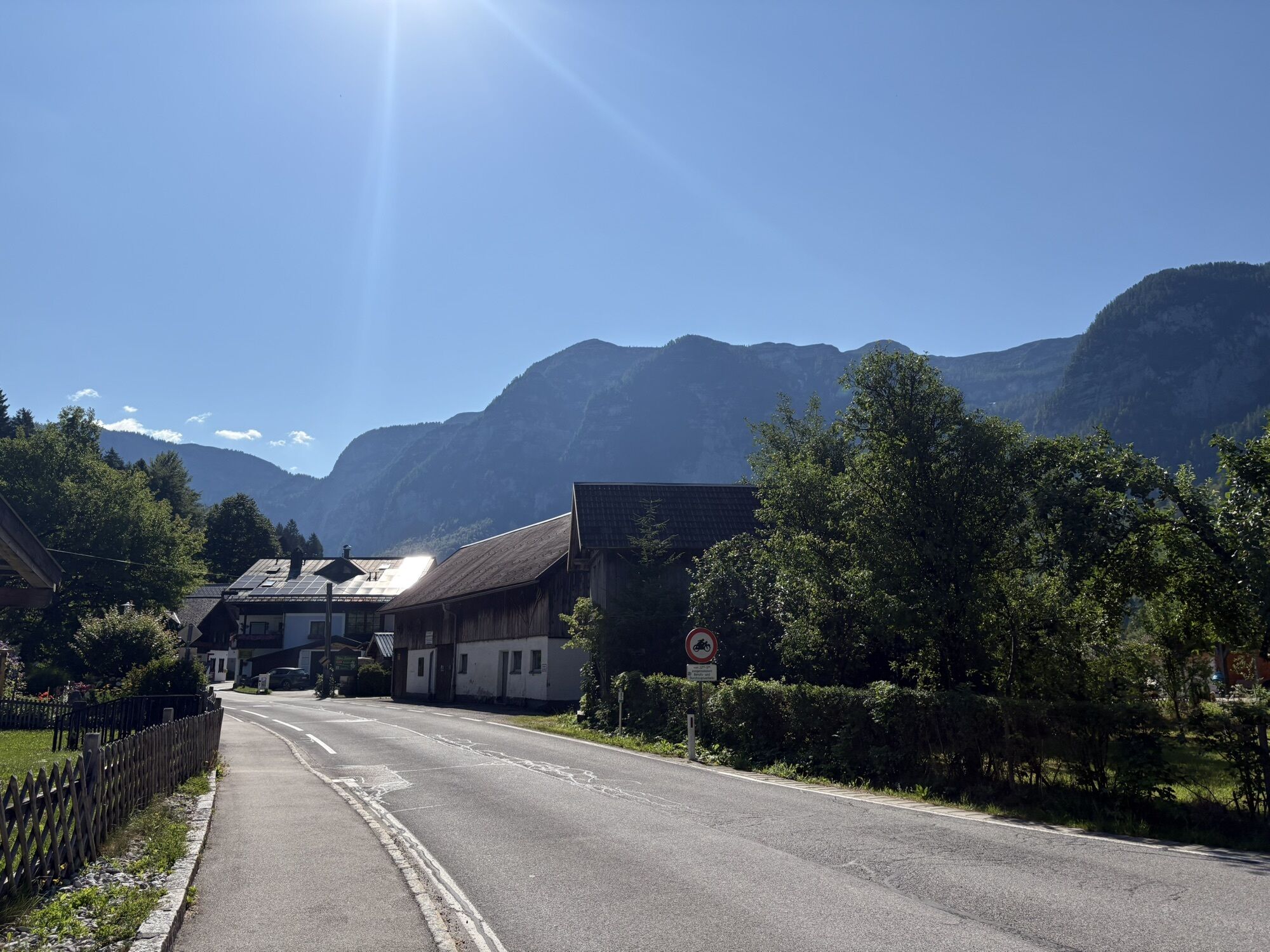
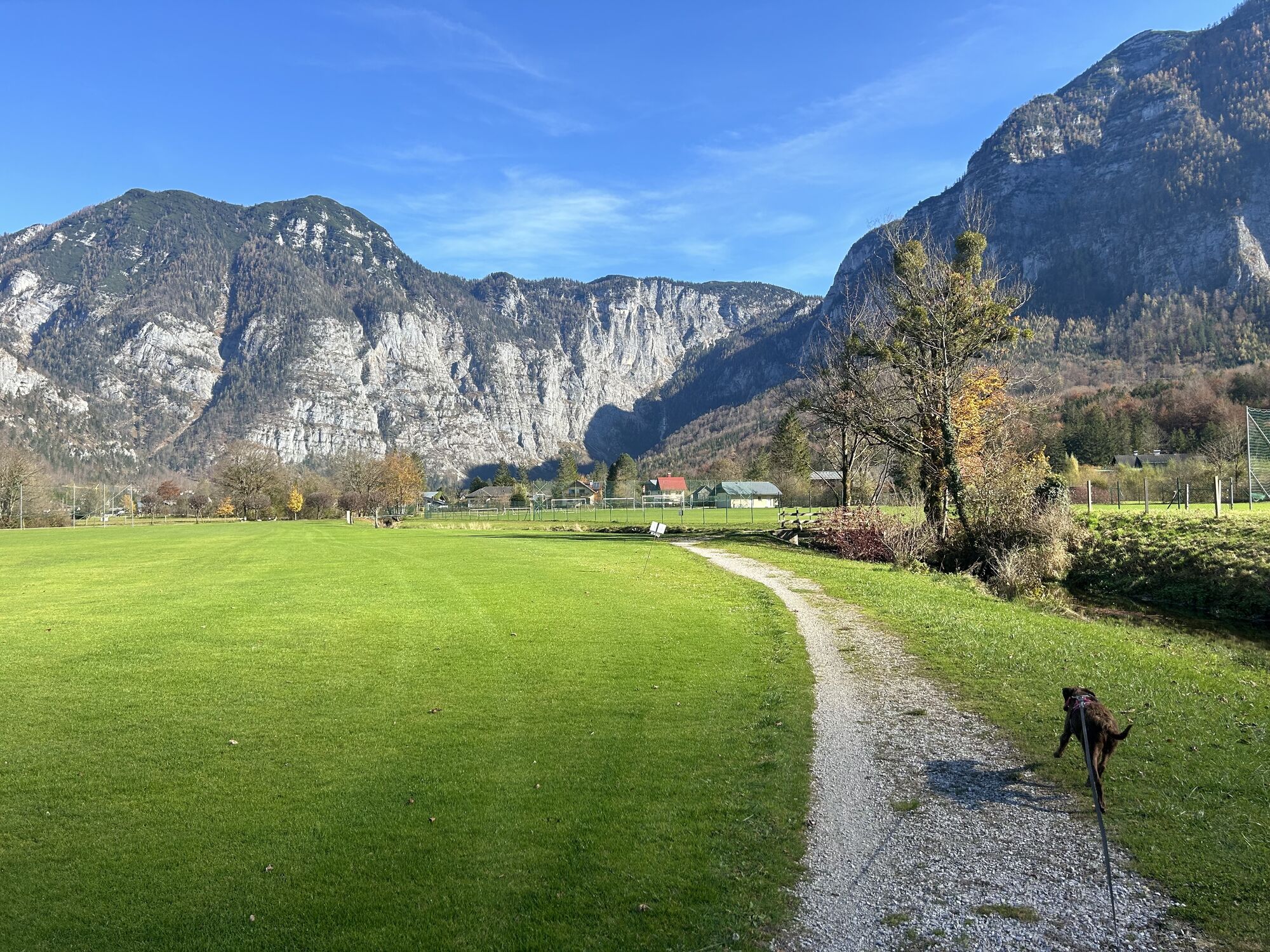
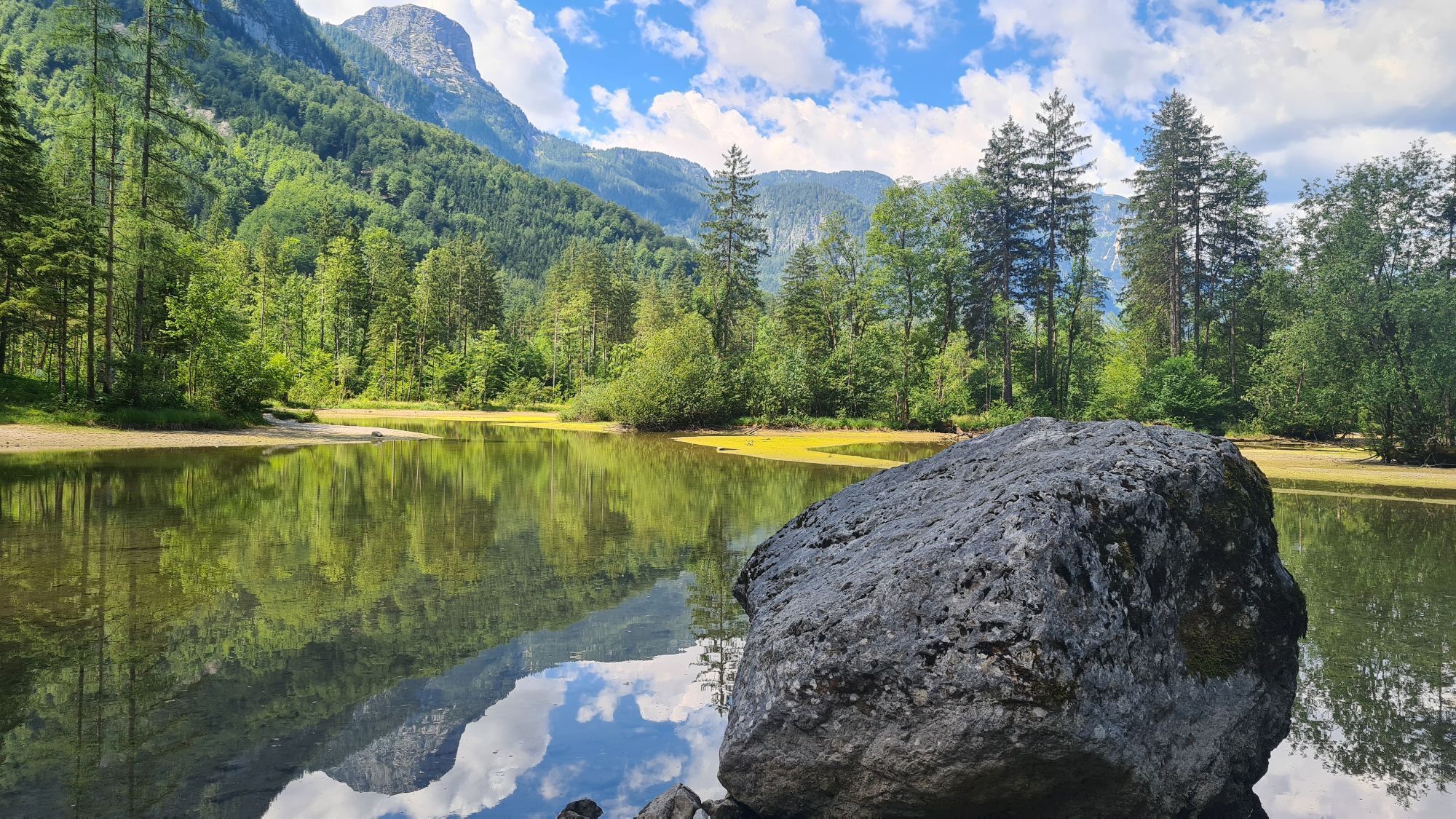
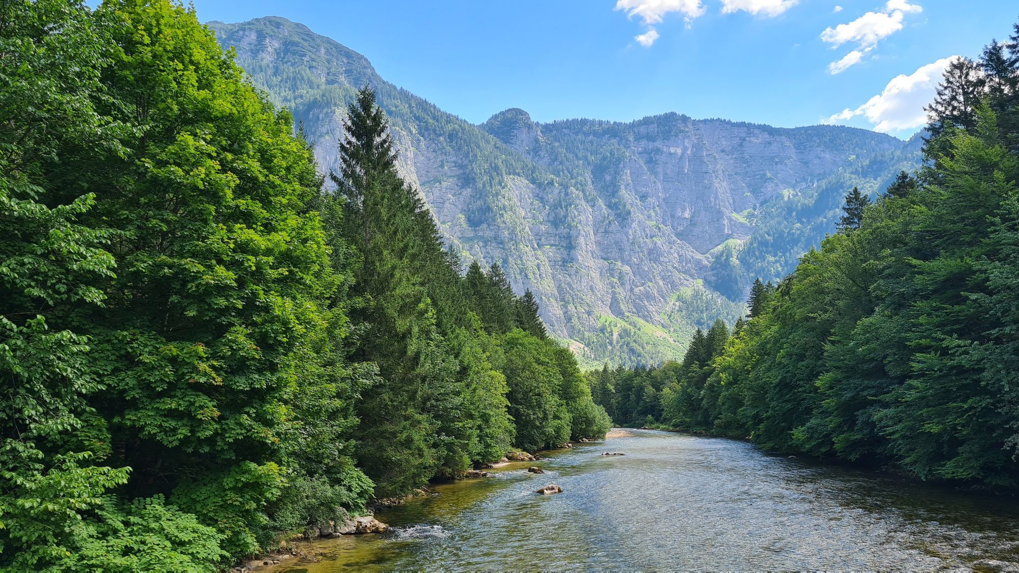
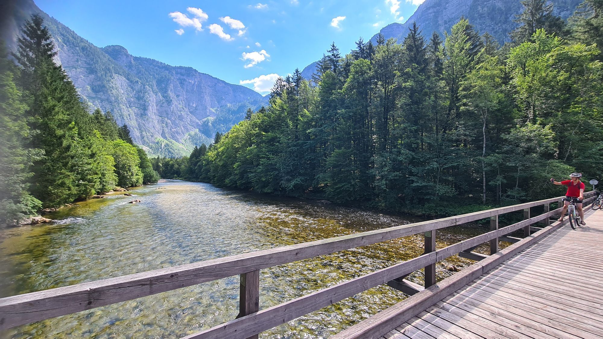
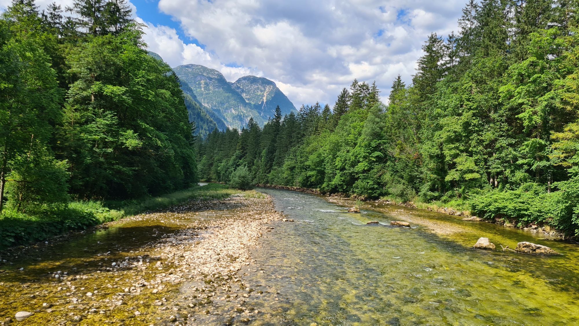
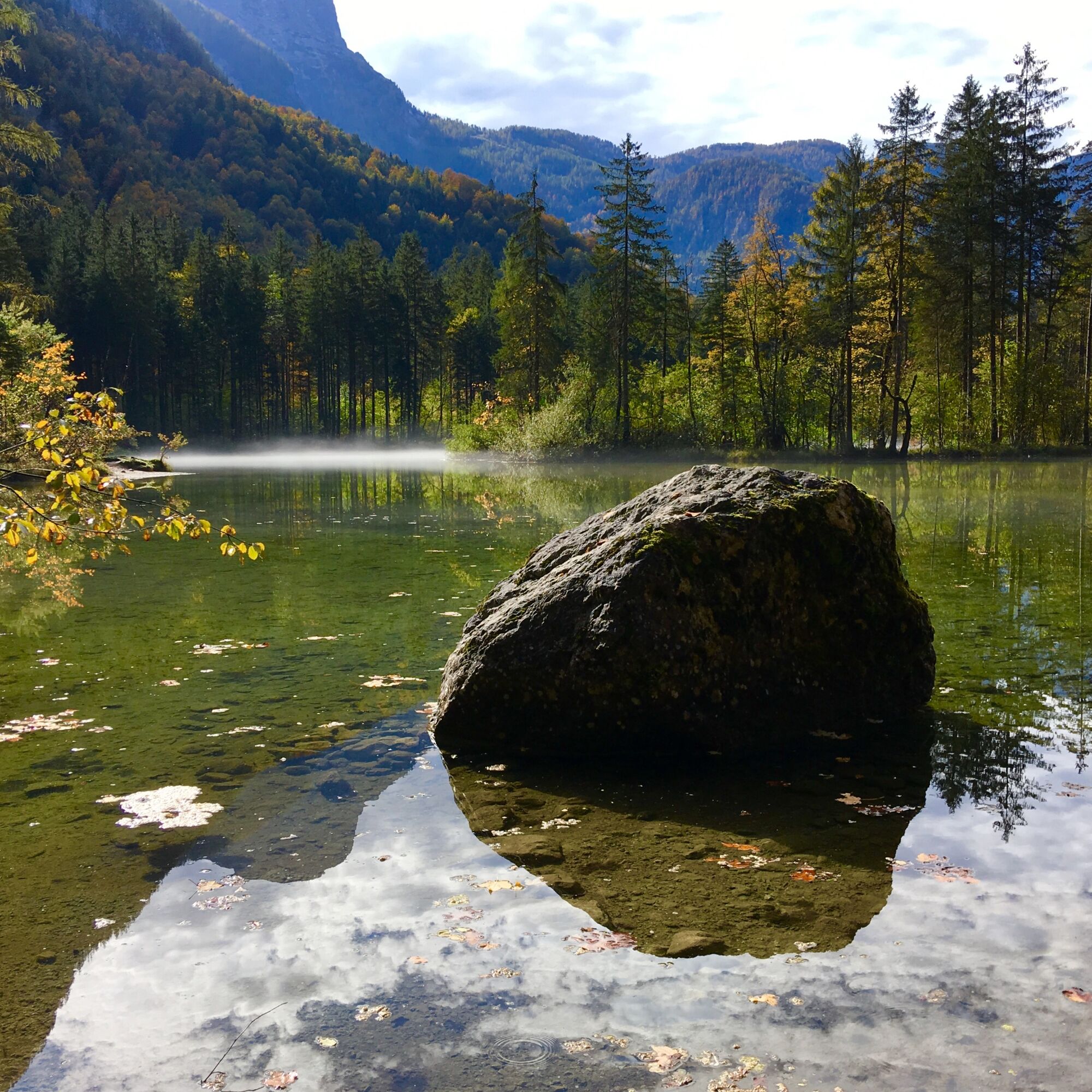
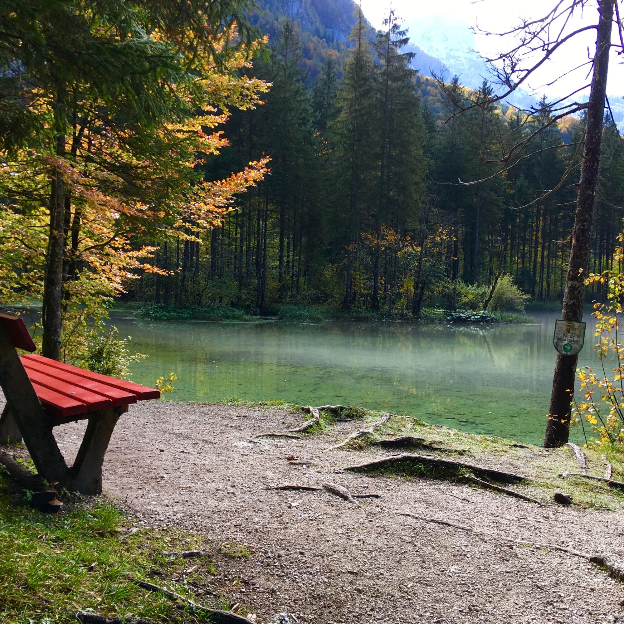
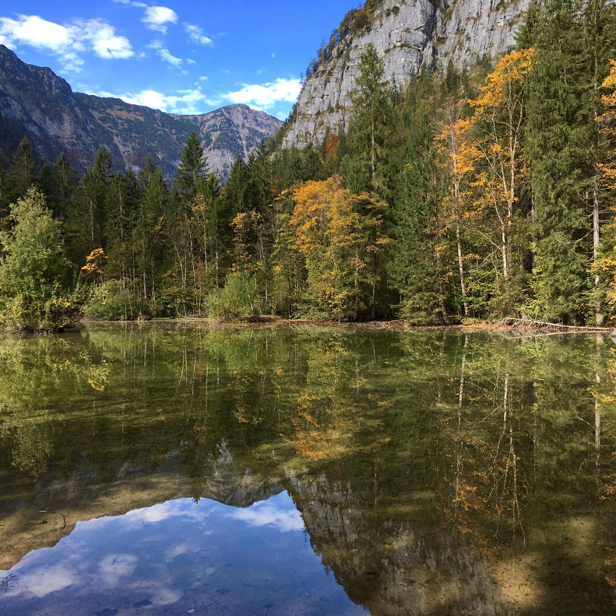
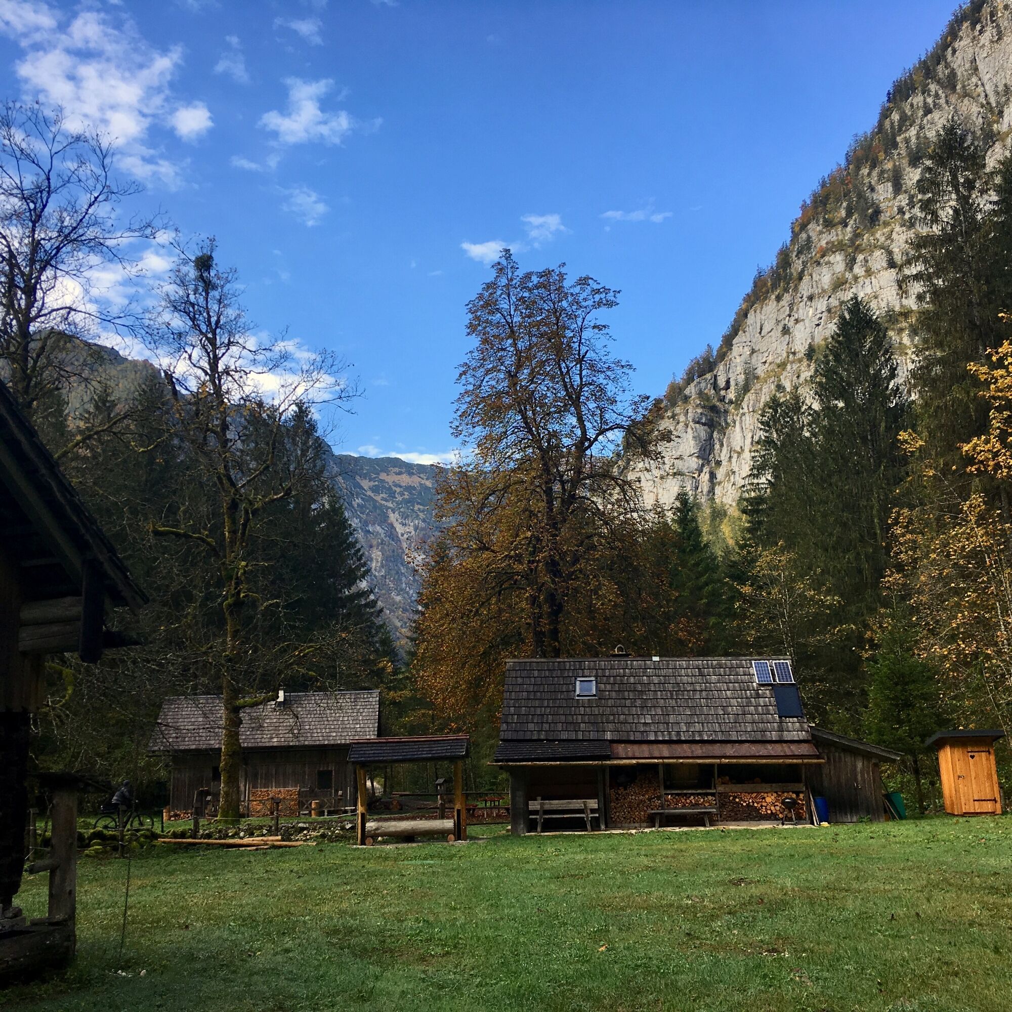
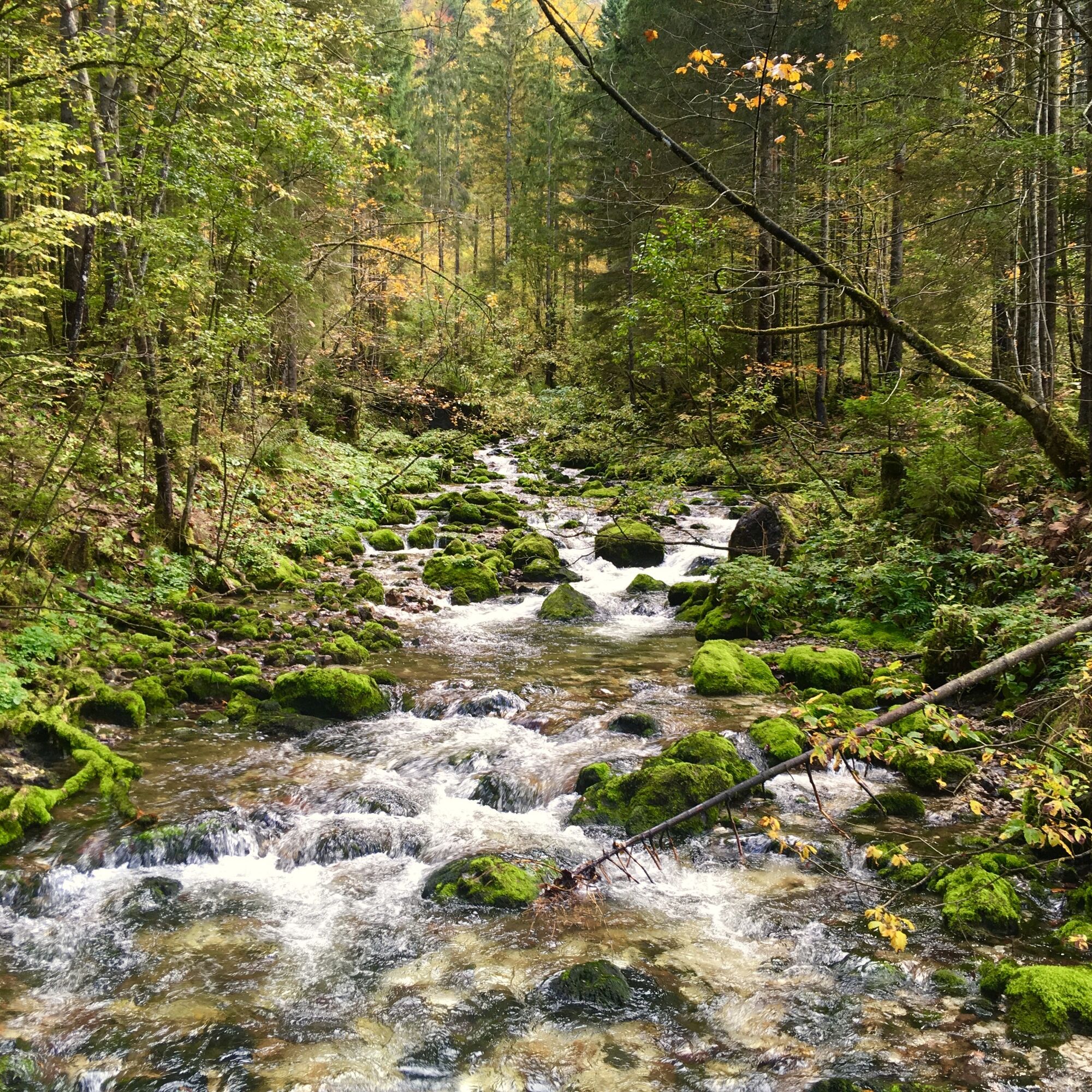
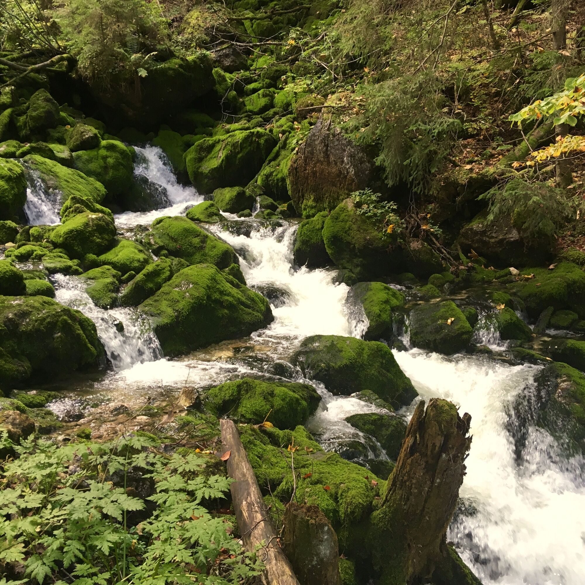
Constant dripping wears away the stone - and produces all sorts of other wondrous things. This can be seen in the Koppenwinkel, a romantic basin beneath the giant walls of the Dachstein massif, where a themed trail highlights the small wonders of nature.
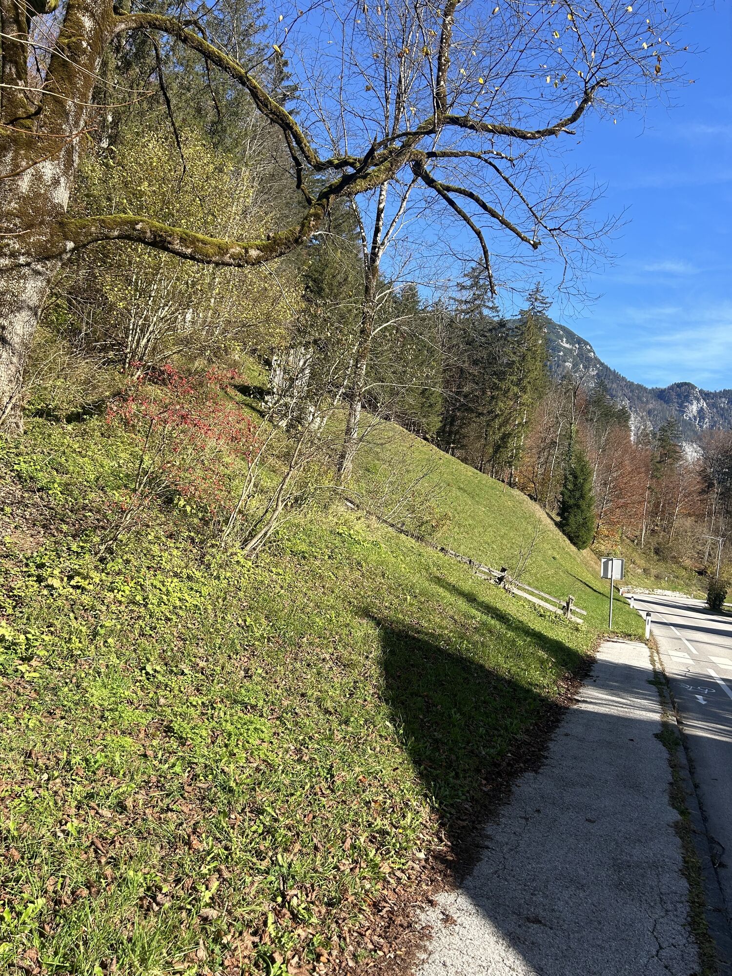
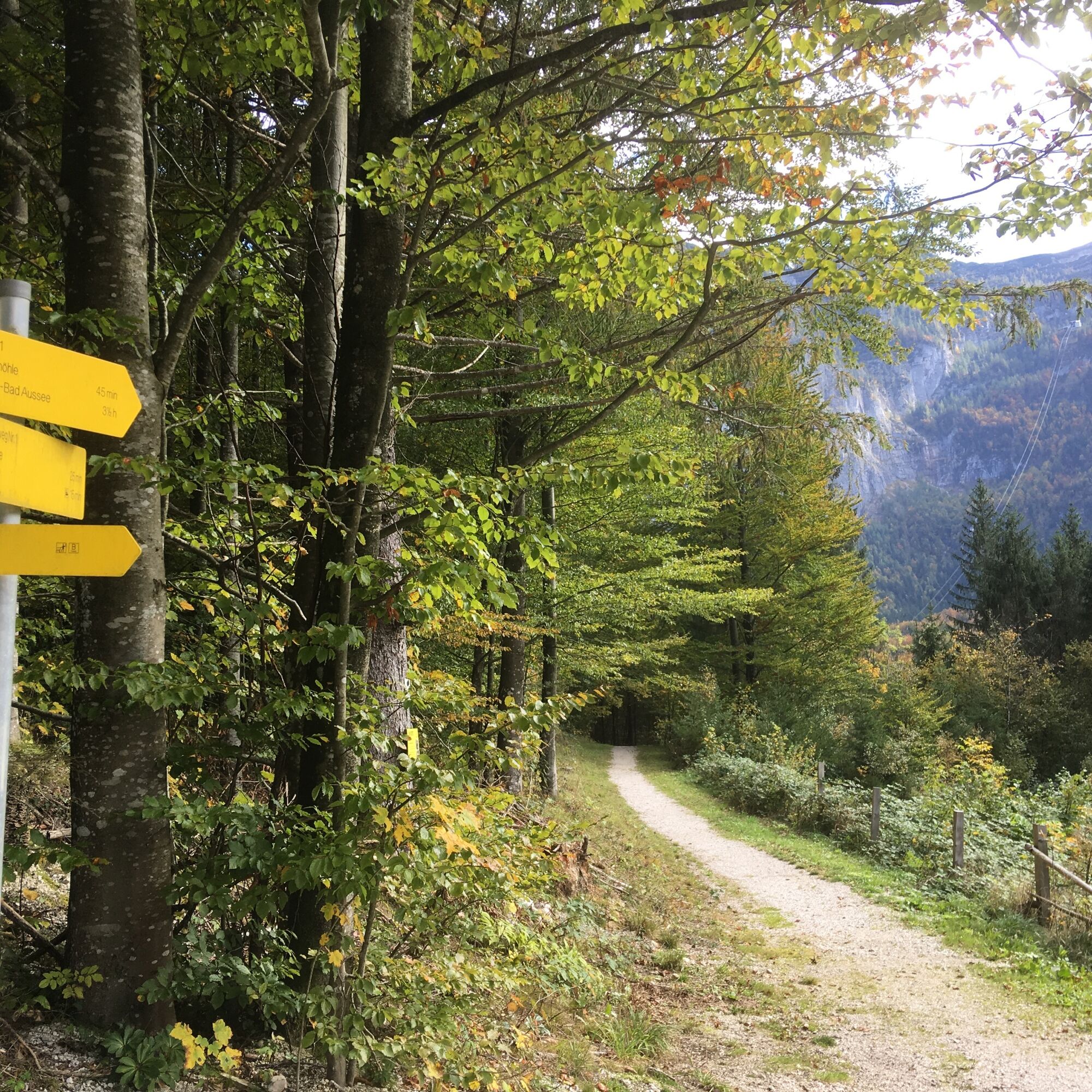
From Obertraun Dachsteinhöhlen train station, walk past the Catholic church and head straight up via Stiegergasseto Höhenweg no. 1. Follow the hiking trail above the village of Obertraun through the Sarsteinwald forestto Obertraun Koppenbrüllerhöhle train station.
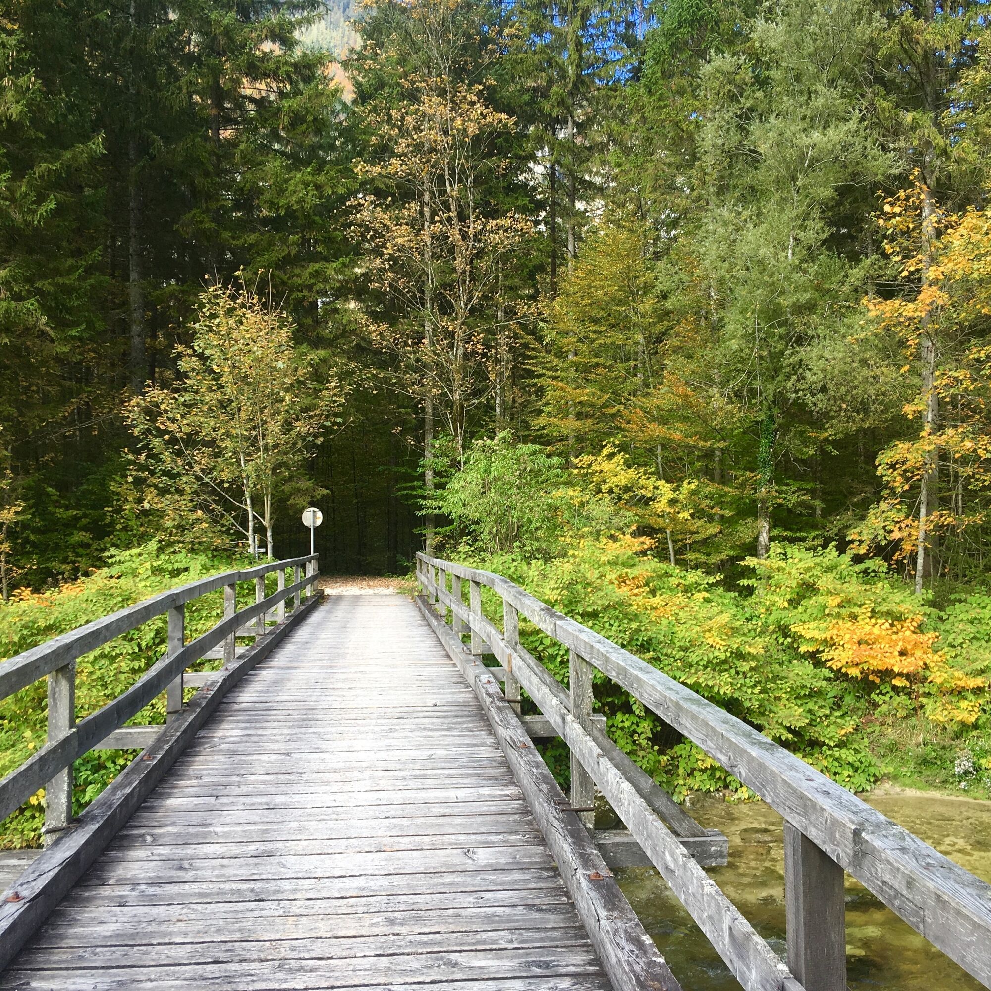
Continue over the Traunbrücke bridge. Don't miss a detour to the Koppenbrüllerhöhle cave. The Koppenbrüllerhöhle cave is the youngest of the Dachstein cavesand shows you the unexpected course of the water in the Dachstein mountains. Depending on the weather conditions above the Dachstein mountains, you can actually hear the cool water of the active water cave roar more or less vigorously.
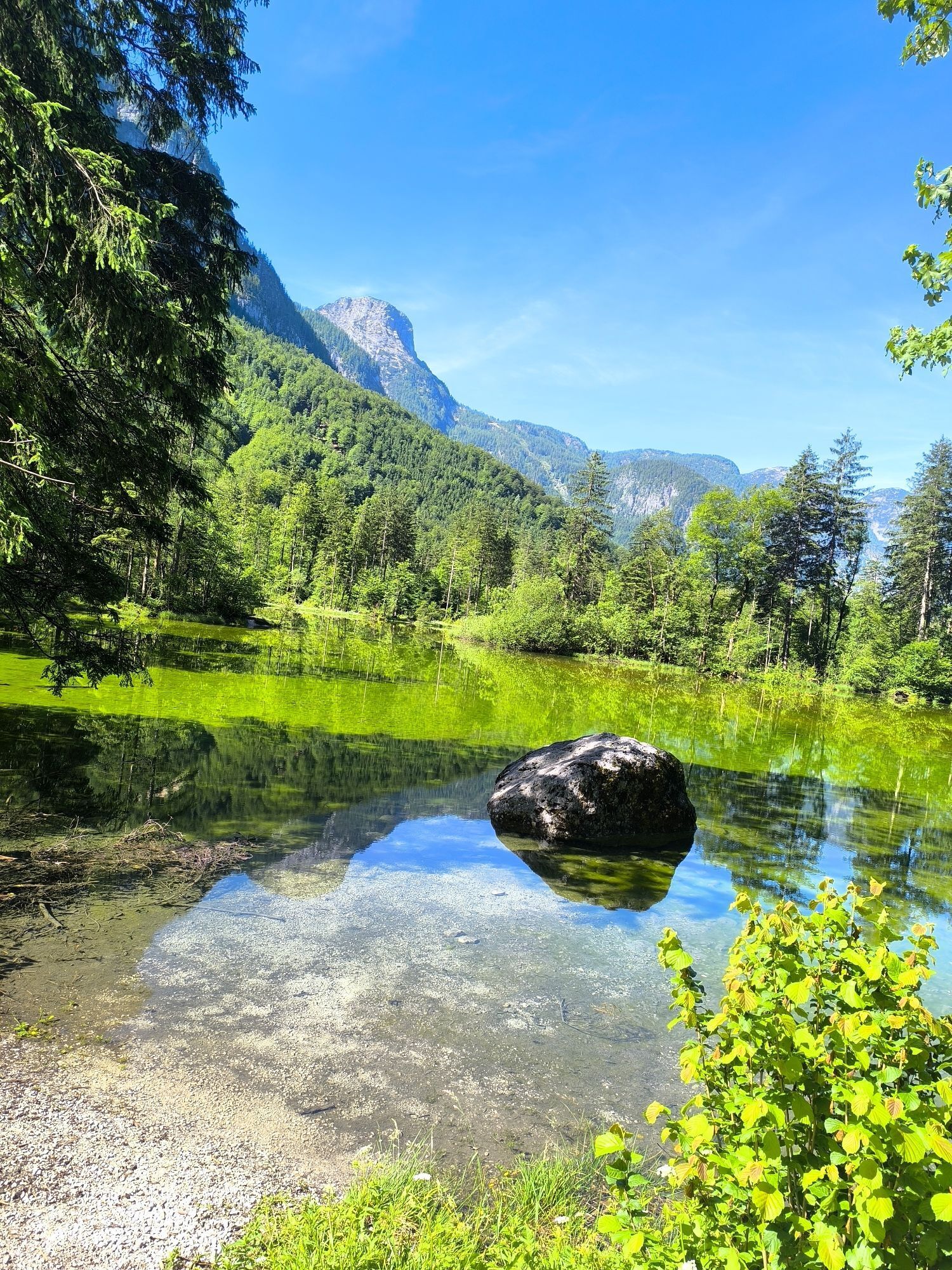
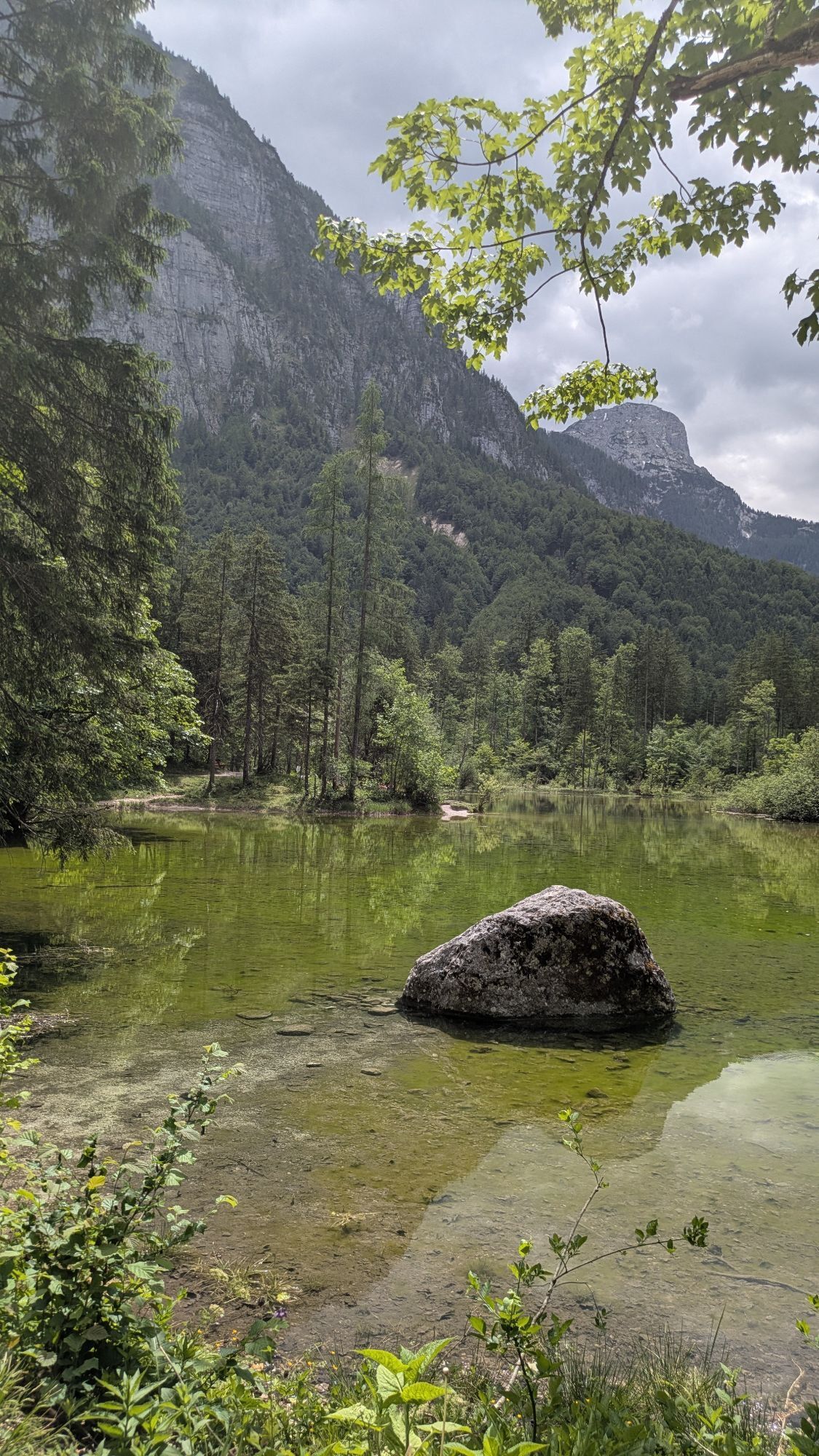
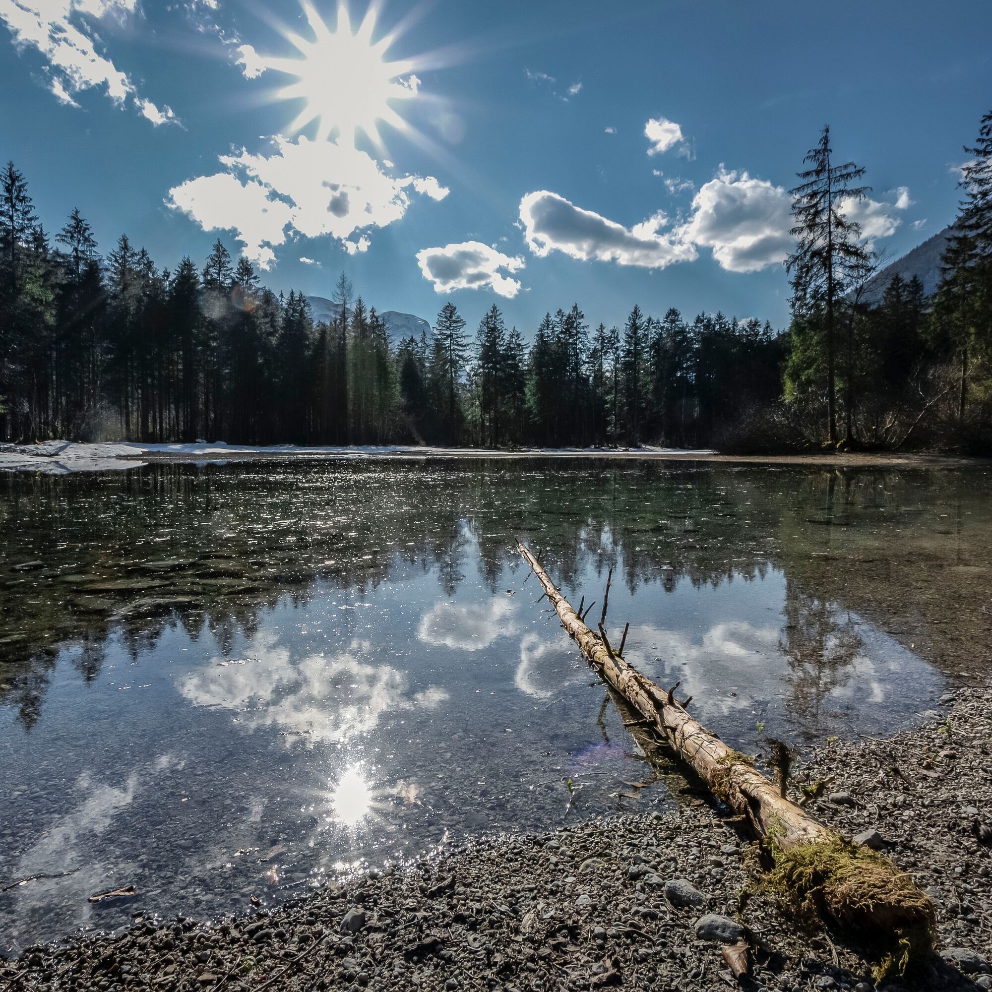
Behind Gasthof Koppenrast, one of the best culinary addresses in the Salzkammergut, turn right to the Kinderfreunde vacation camp and then hike to Koppenwinklsee lake.
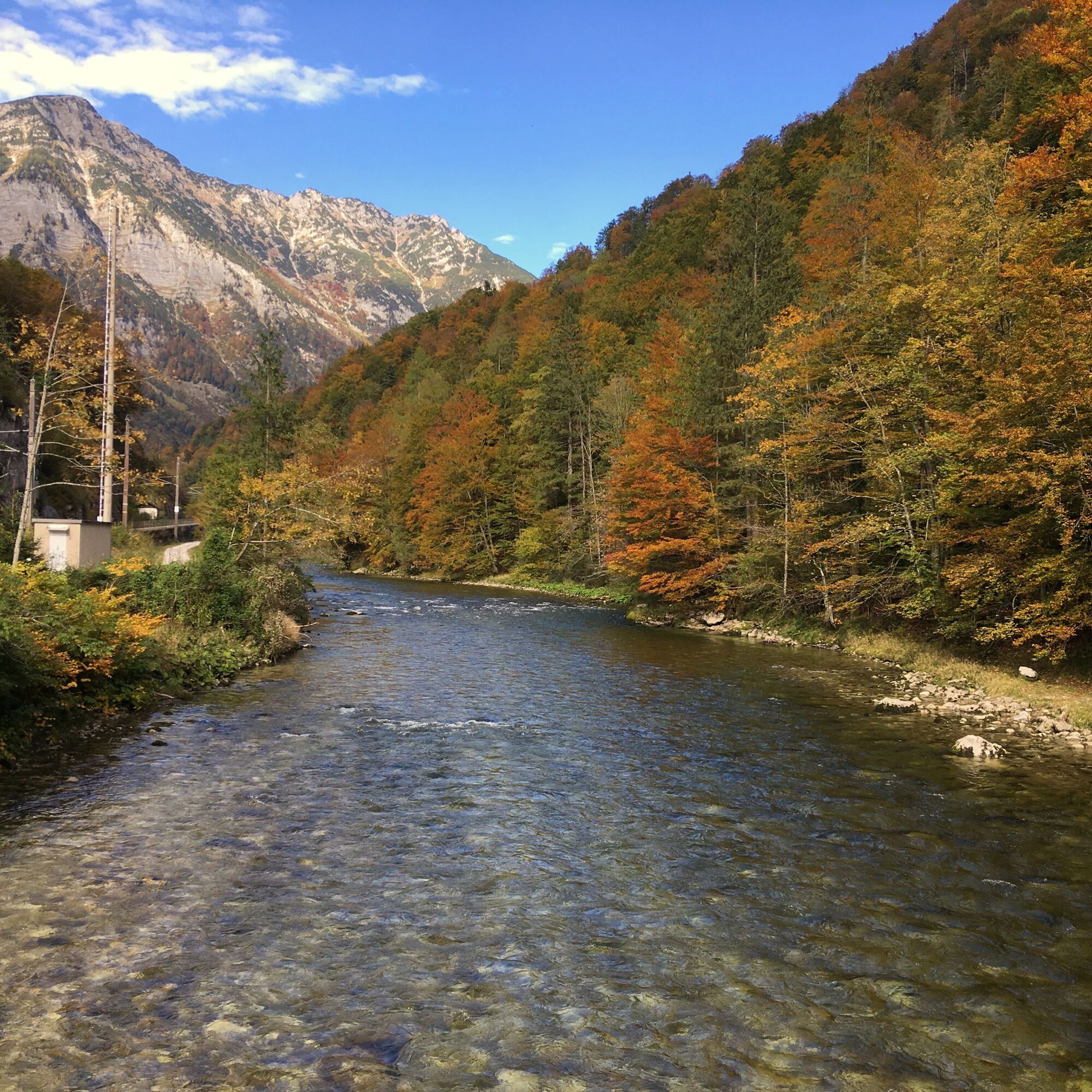
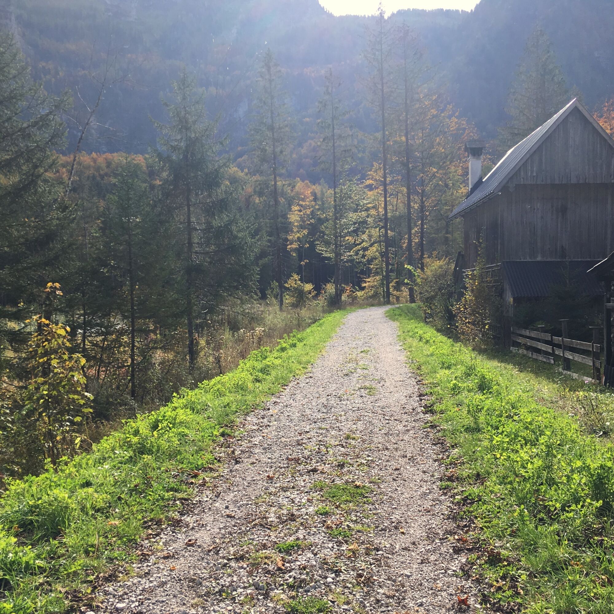
Continue along the forest road to the Koppenwinklalm, then turn right and take hiking trail no. 2 over the Hagenbach and Bühlerbach streams. Then cross the Traun and take hiking trail no. 6 along the river. Finally, follow the signposted Höll-Karl-Weg past the sports field, over the level crossing to Koppenstraße and left back to the train station.
The Inner Salzkammergut is an Eldorado for cave explorers of all ages. In the depths of the mountains, you can explore the extensive network of underground caves, usually with a guide.
Highlightsinclude a visit to the Dachstein Giant Ice Cave (one of the largest ice caves in the world) and the Mammut Cave.
Experience a 360° panoramic tour from Obertraun...
Order hiking maps of the Dachstein Salzkammergut region ...
Mountain rescue: 140


Ano
 Získejte přehled Vždy živě na místě s více než 9 500 webkamerami. bergfex Jako uživatel Pro si nyní můžete zobrazit odpovídající webové kamery pro mnoho prohlídek v aplikaci prohlídky z. Můžete si tak přímo prohlédnout aktuální podmínky.
 Oblíbené prohlídky v okolí
- 4.5
Altaussee: Seeumrundung
Horská turistika 7.58 km - 4.3
Heilbronner Rundwanderweg
světloTuristika 9.04 km - 4.5
Loser: Loserfenster und Losergipfel
středníTuristika 2.48 km - 3.8
Ostuferwanderweg
světloTuristika 16.2 km - 4.7
Stoderzinken Gipfelrundweg
středníTuristika 4.94 km - 4.7
Hütteneck ski & snowshoe tour
středníSněžnice 3.88 km - 4.5
Hike to the Hütteneckalm
světloTuristika 8.70 km - 4.9
4 Gipfel - 1 See am Loser
heavyTrailrunning 8.81 km - 4.7
Ramsau am Dachstein: Bergstation Dachstein-Seilbahn - Guttenberghaus - Ramsau
středníTuristika 14.4 km - 4.9
Das Trippel in der Silberkarklamm
středníVia ferrata 6.70 km

Pěší turistika a stopování


Nenechte si ujít nabídky a inspiraci pro vaši příští dovolenou
Vaše e-mailová adresa byl přidán do poštovního seznamu.





