







St. Wolfgang - Schafberg (Himmelspforte-Spinnerin) 4 Mountains 3 Lakes
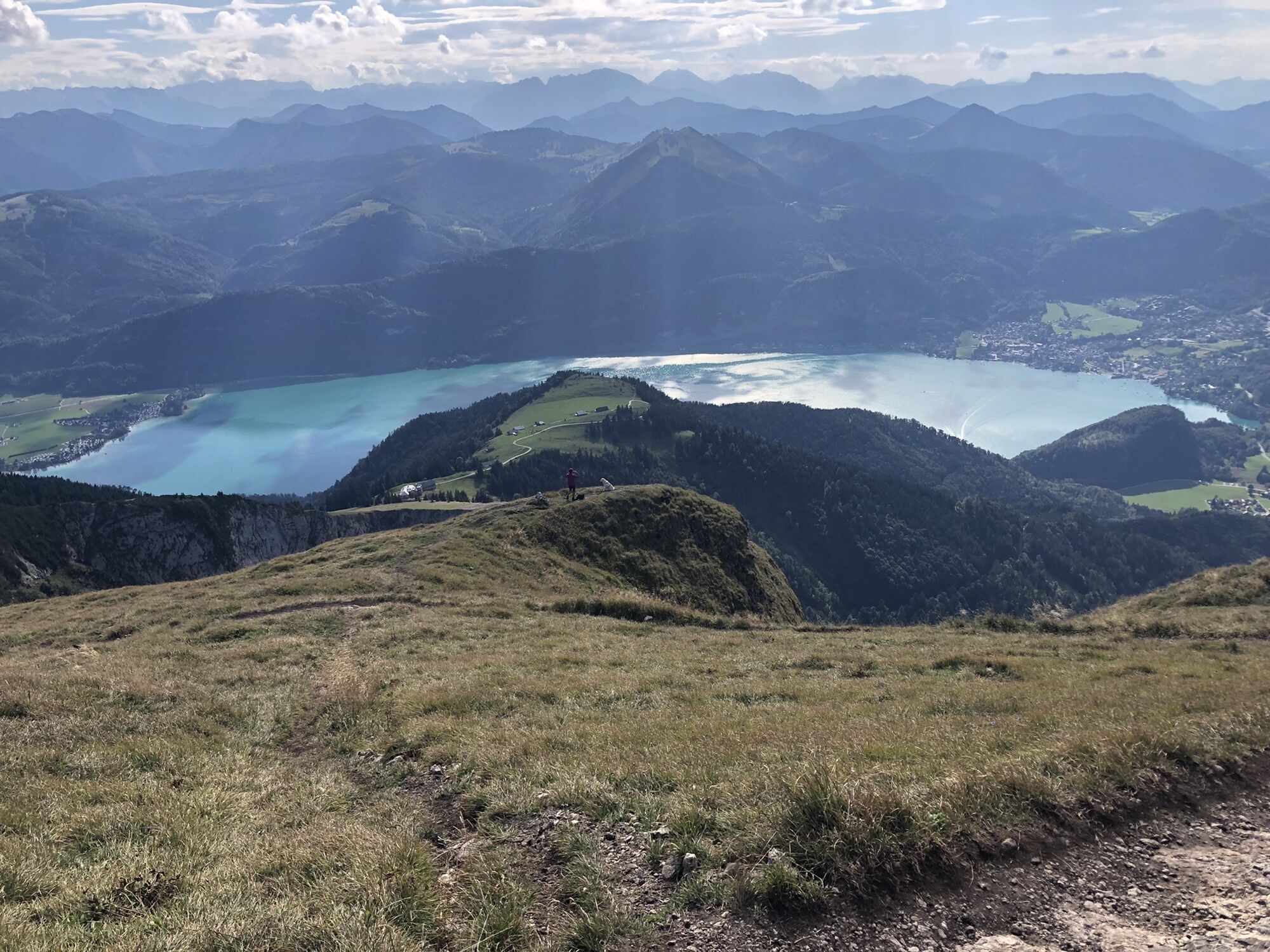
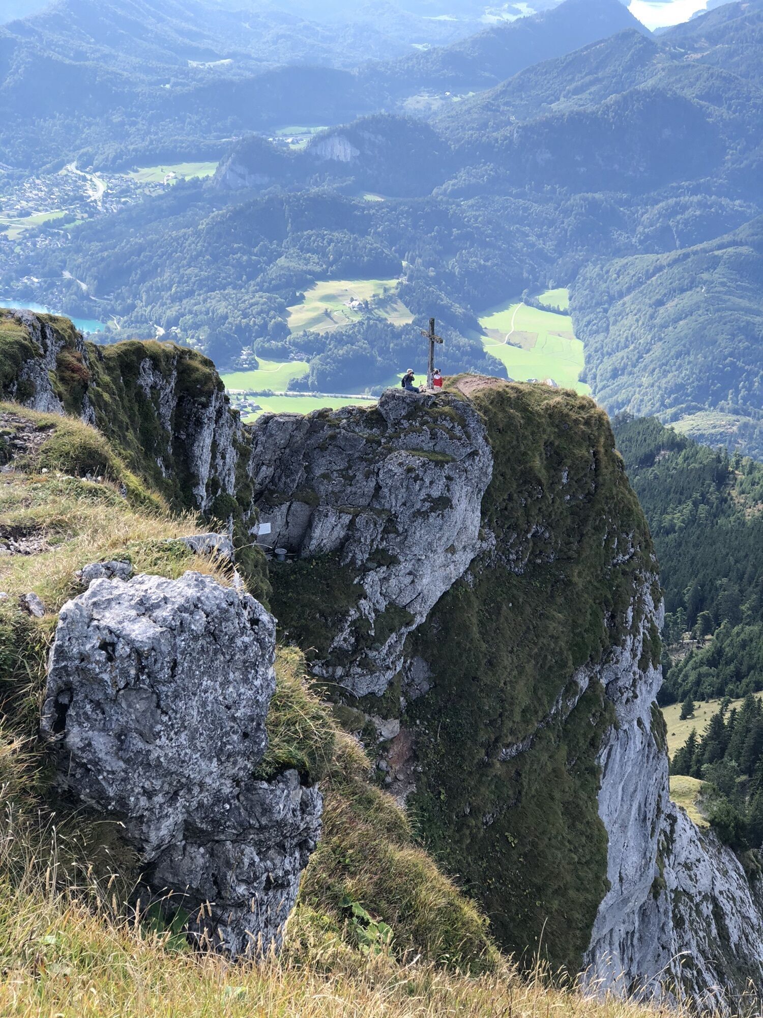
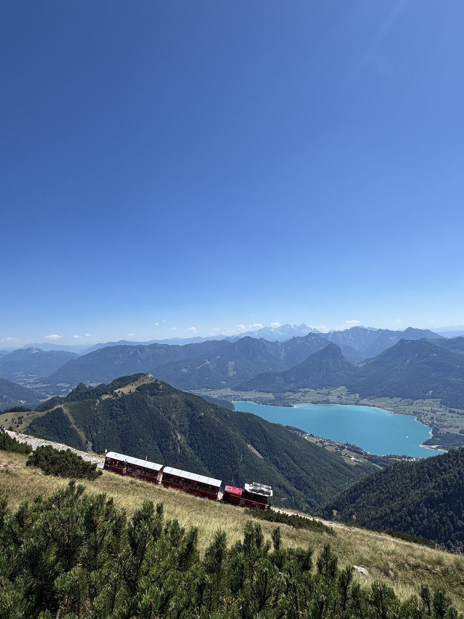
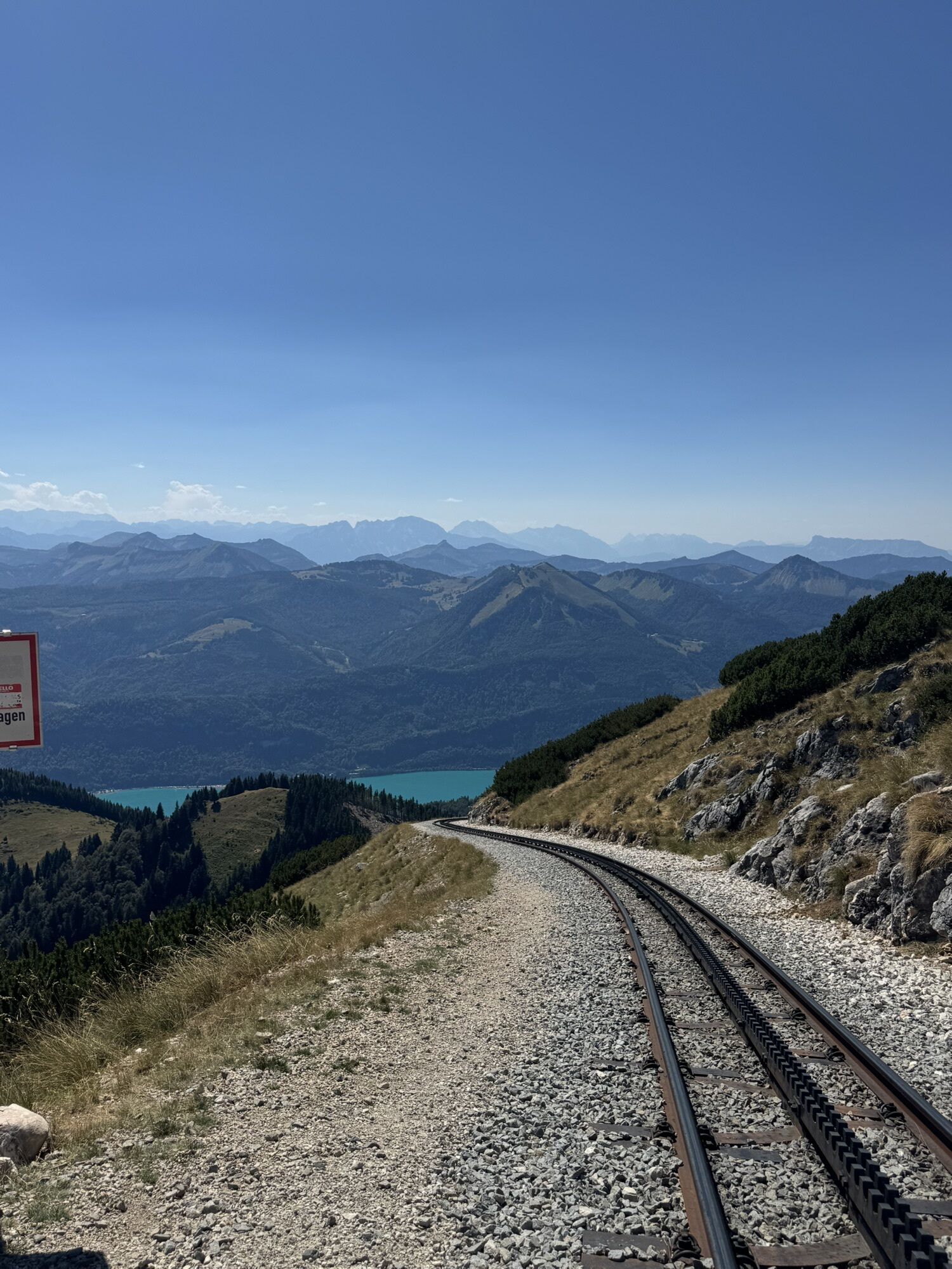
An additional, very beautiful and somewhat alpine variation on the 4 Mountains 3 Lakes path. Ideal in combination with an overnight stay in St. Wolfgang or as an extension of the route for somewhat experienced...
An additional, very beautiful and somewhat alpine variation on the 4 Mountains 3 Lakes path. Ideal in combination with an overnight stay in St. Wolfgang or as an extension of the route for somewhat experienced hikers.
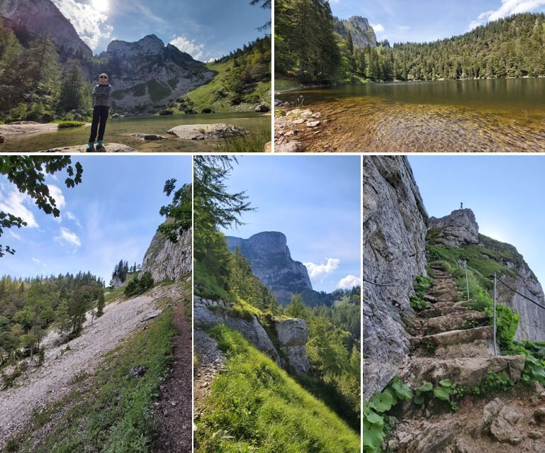




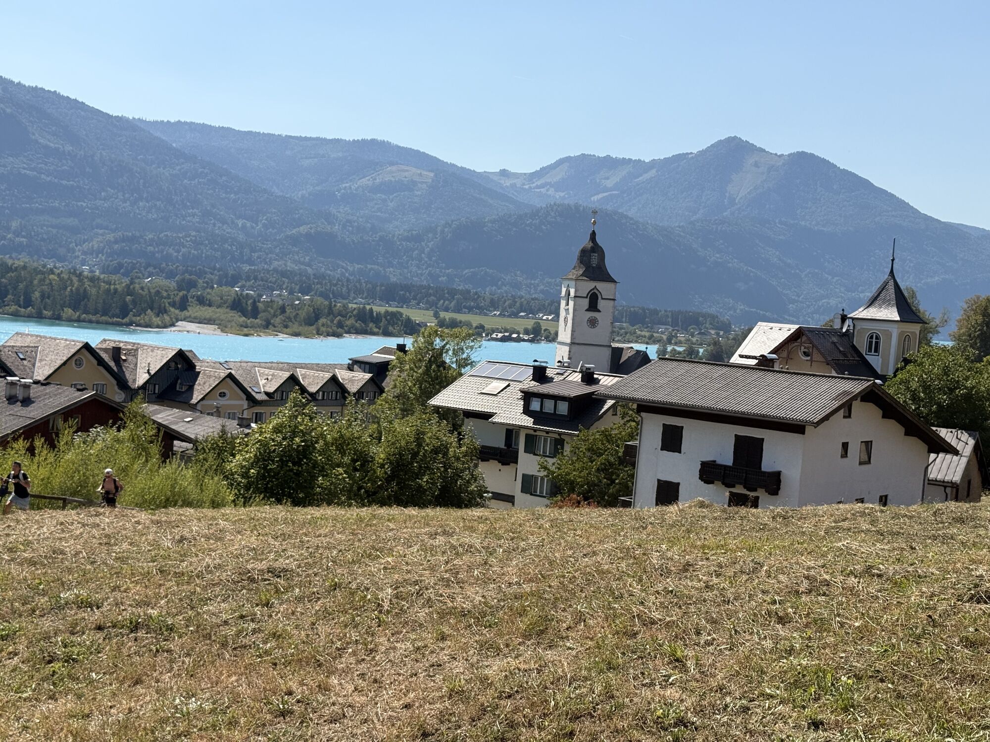
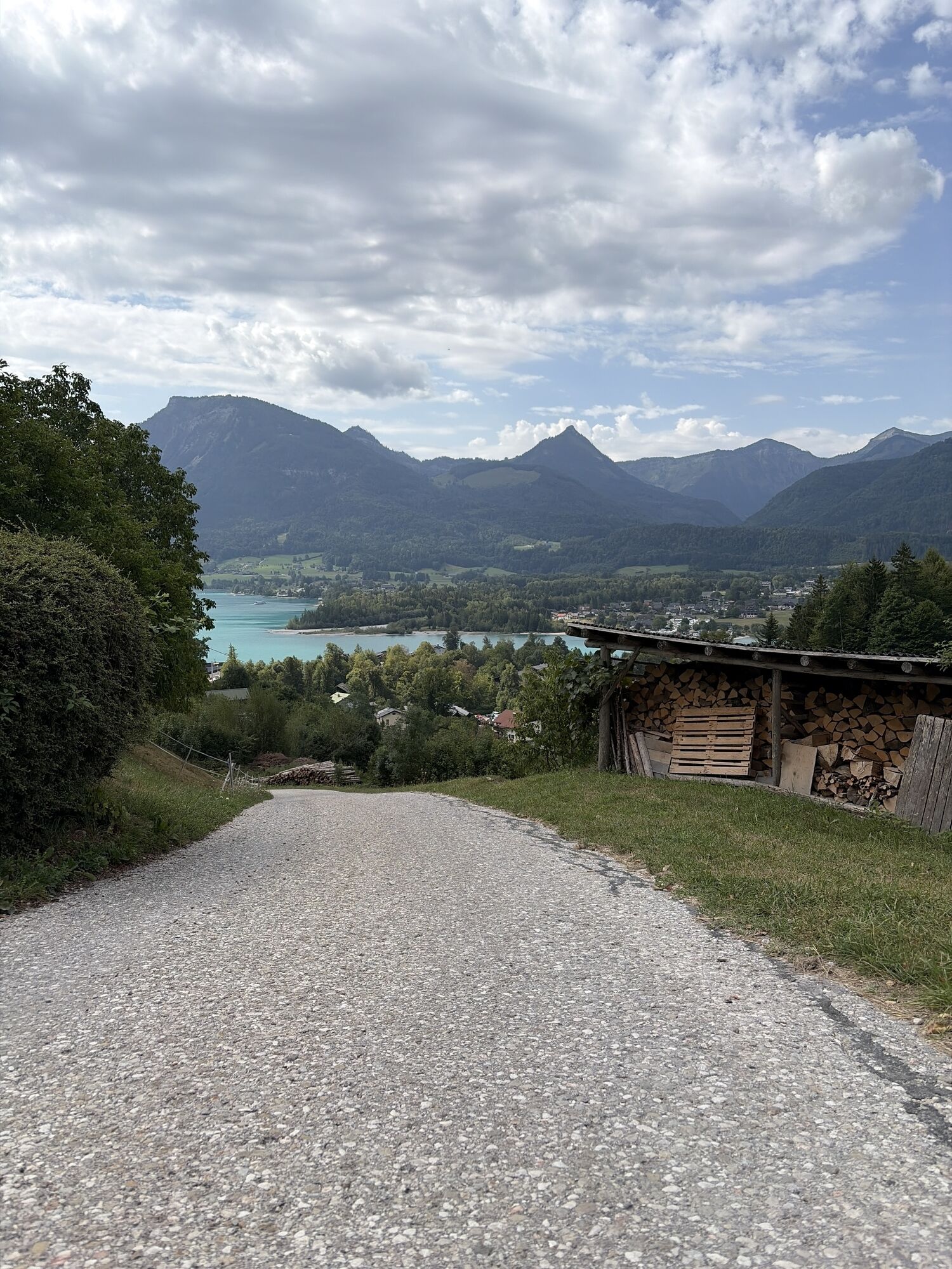
From St. Wolfgang we hike on the Auerriesenweg towards Mönichsee and Purtschellersteig.
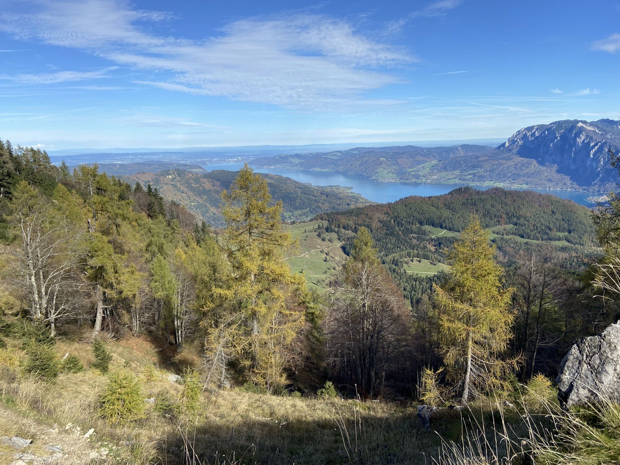
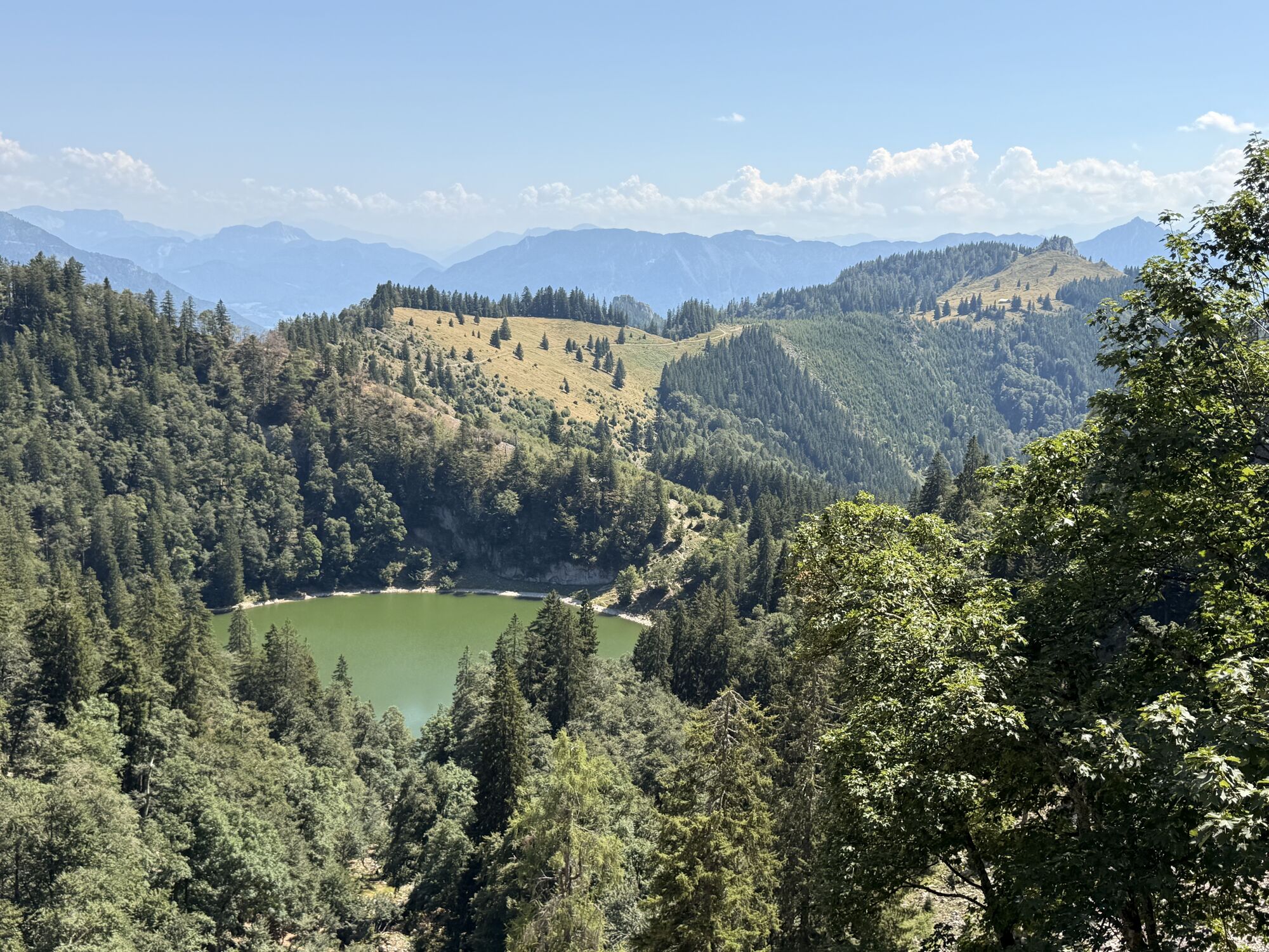
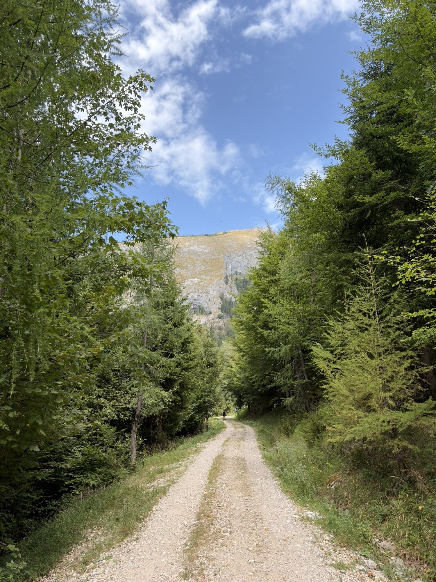
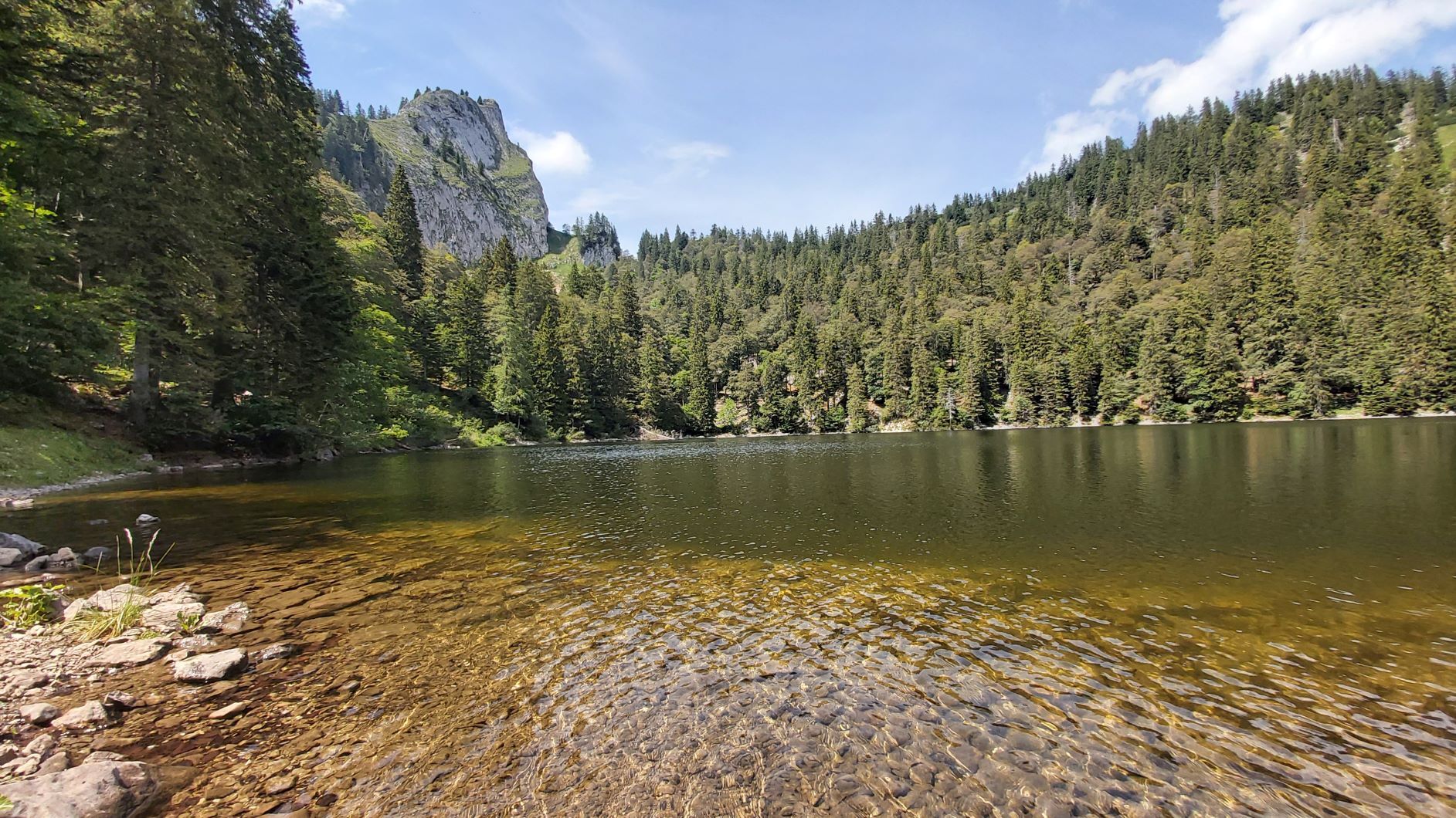
Continuously uphill, first on narrow roads, then on a beautiful path, repeatedly through the forest with some nice views, it goes to the wonderfully located Mönichsee.
A cooling off for hiking feet is worthwhile, the lake simply invites you to take a short break there. Then continue towards Himmelspforte on the black path. The trail becomes somewhat alpine – rocky and forested ground alternate. The summit below the Törlspitz, a striking rock peak, is often windy.
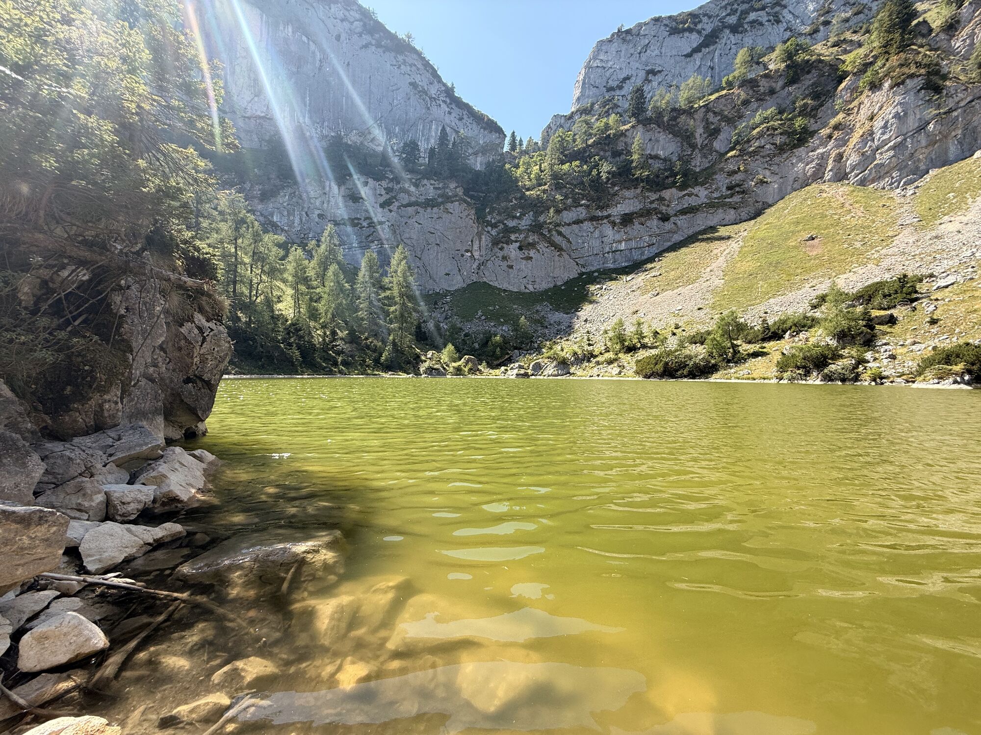
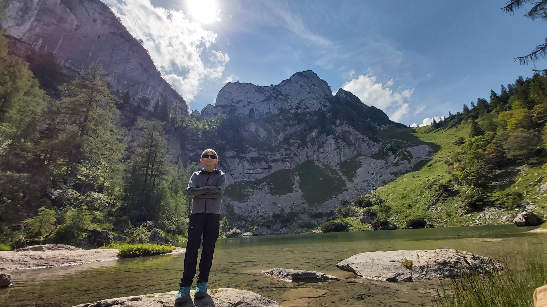
Below the steep rock wall of the Spinnerin we come to the Mittersee, for me one of the most beautiful spots on this route. Anyone who has their swimsuit with them in summer can dare to bathe in the refreshing lake. Very refreshing!
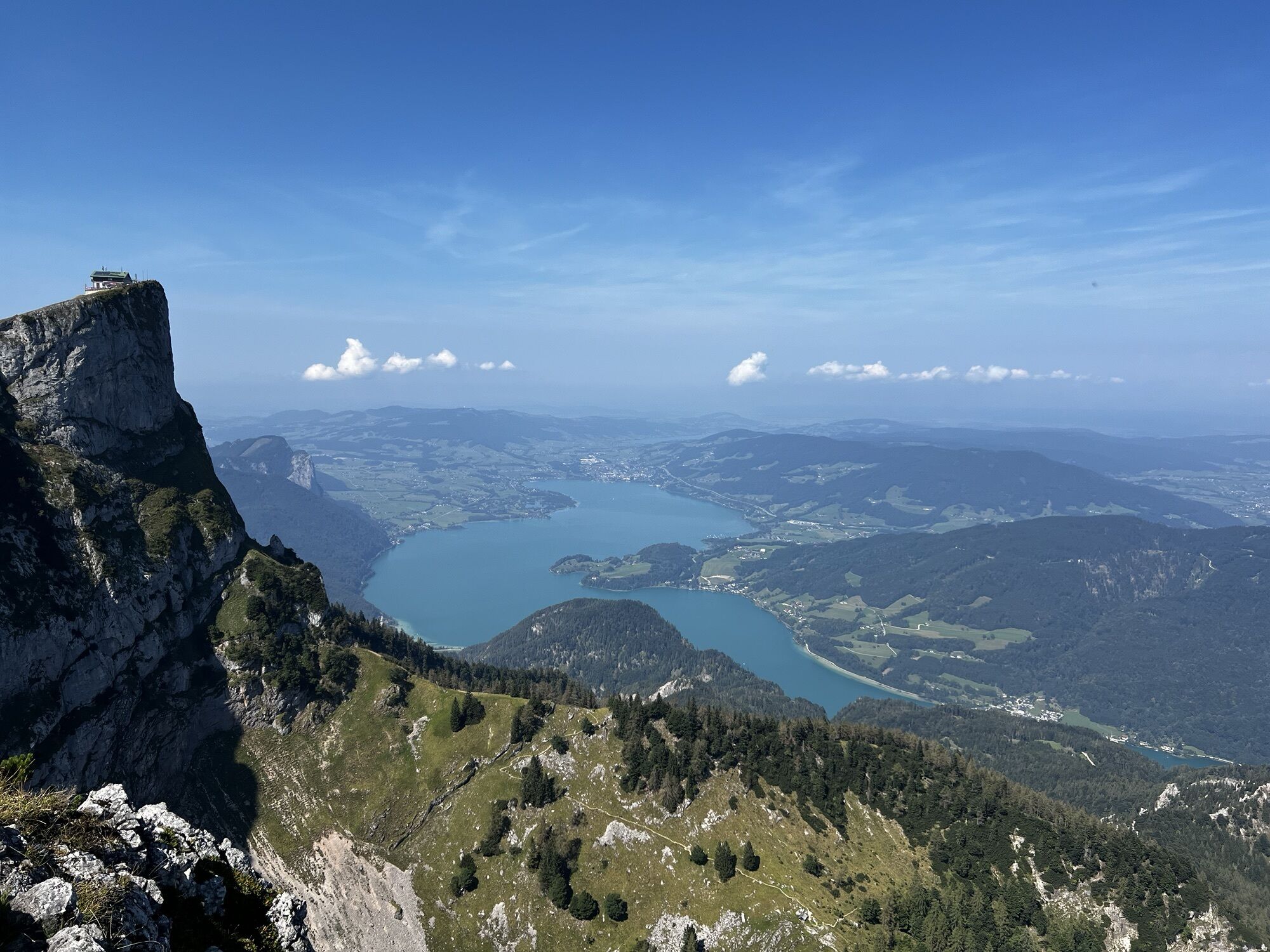
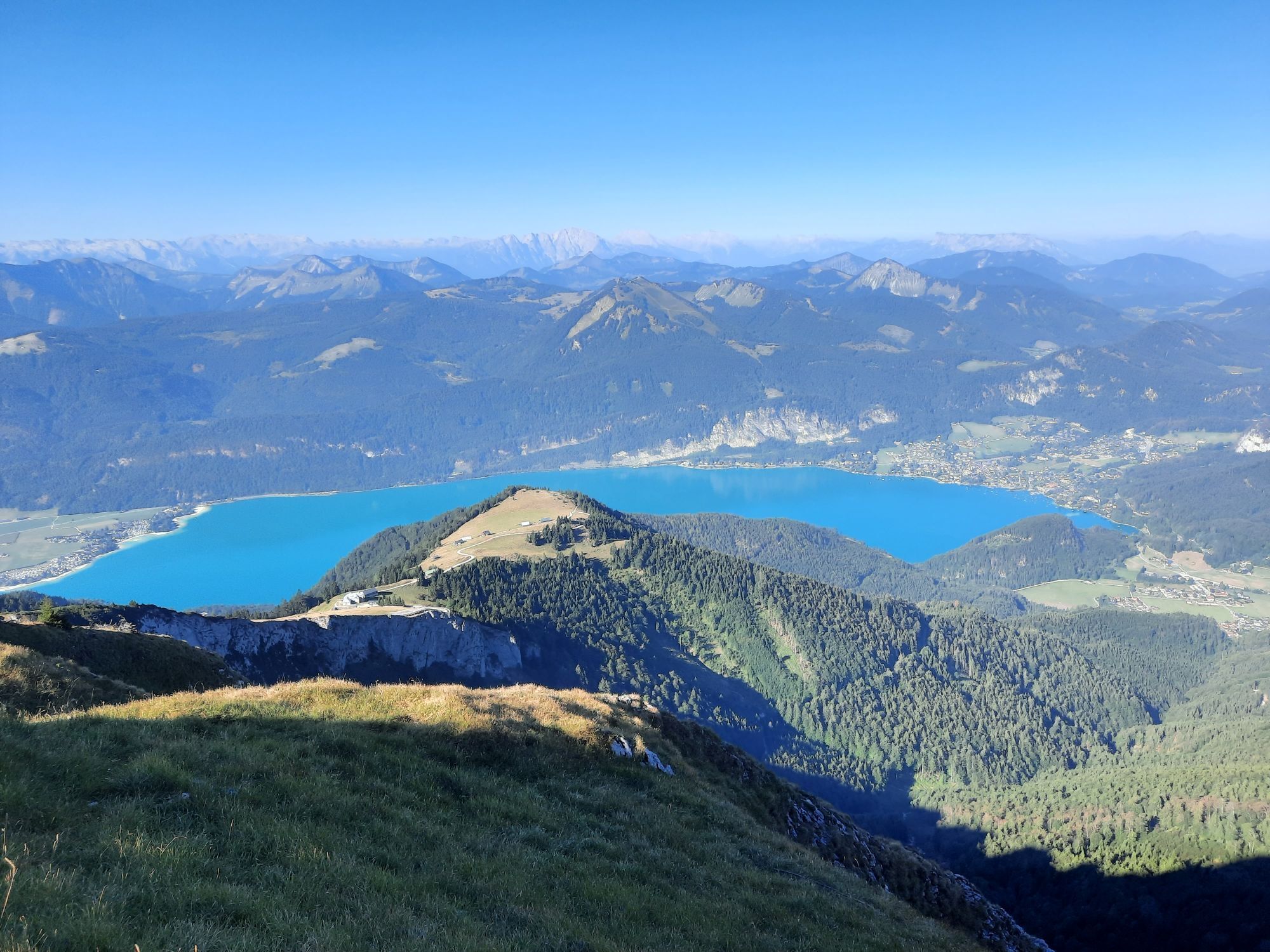
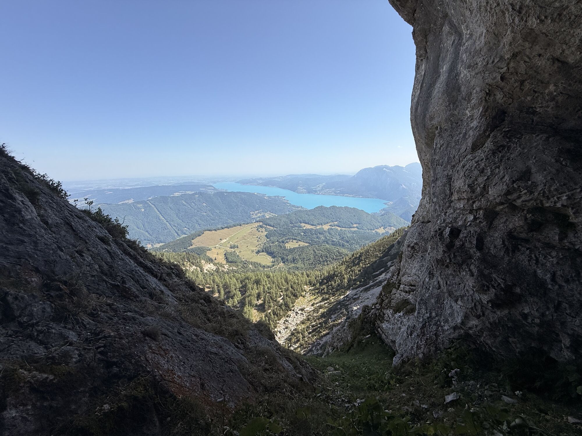
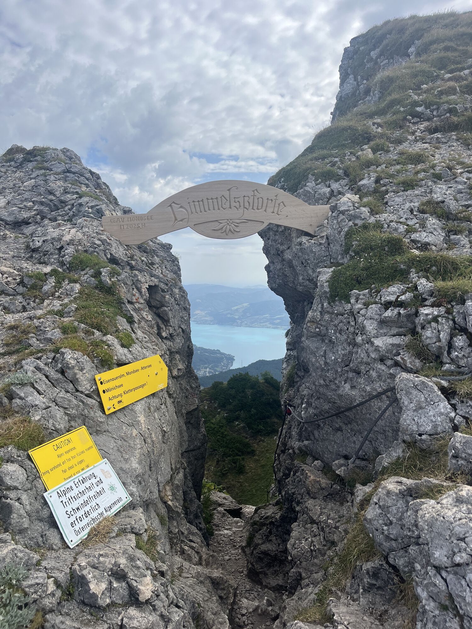
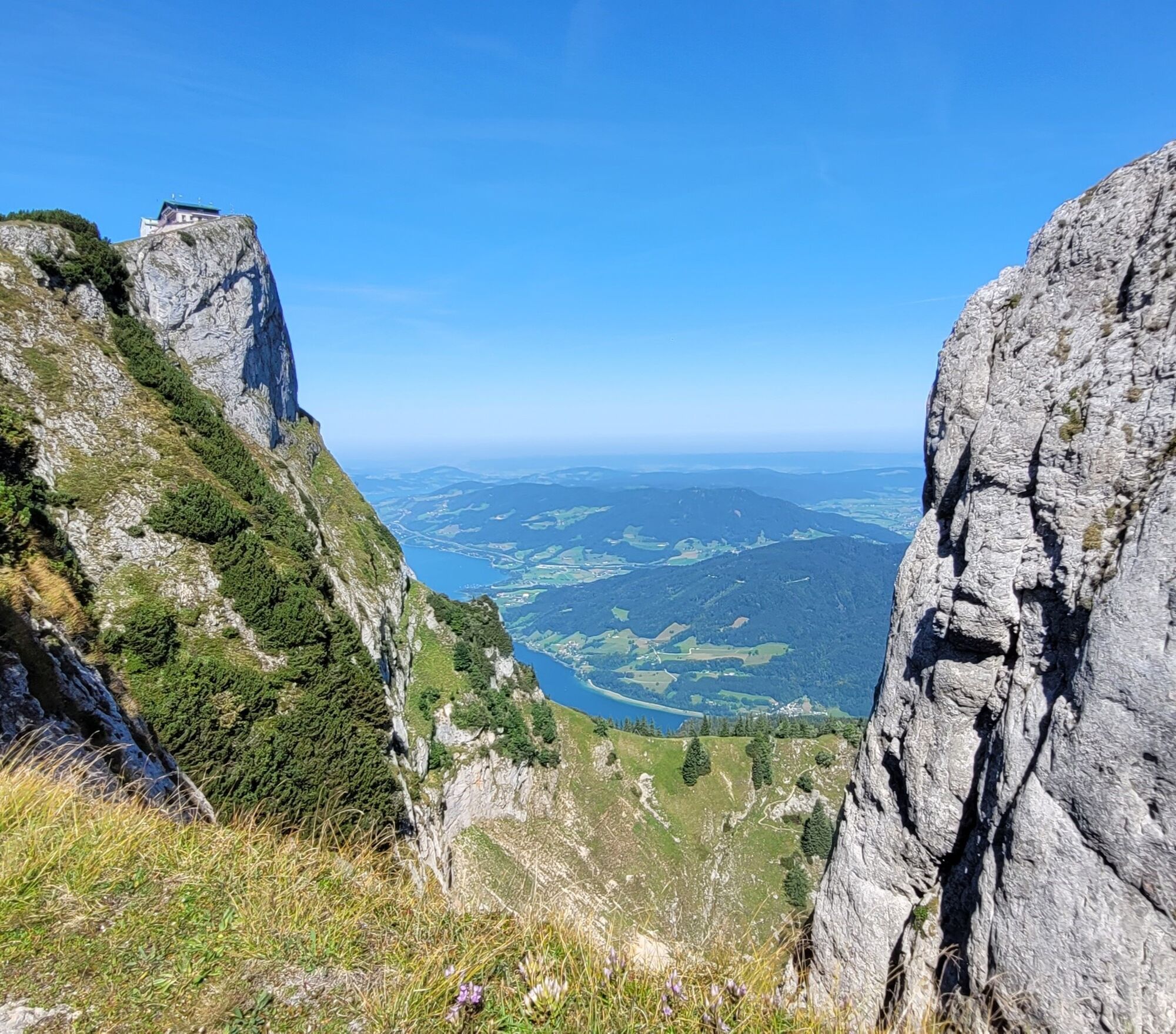
Continue on the path towards the Himmelspfortenweg, on the left our destination, the Schafberg, on the right we look down on the Eisenaualm, behind it the Mondsee.
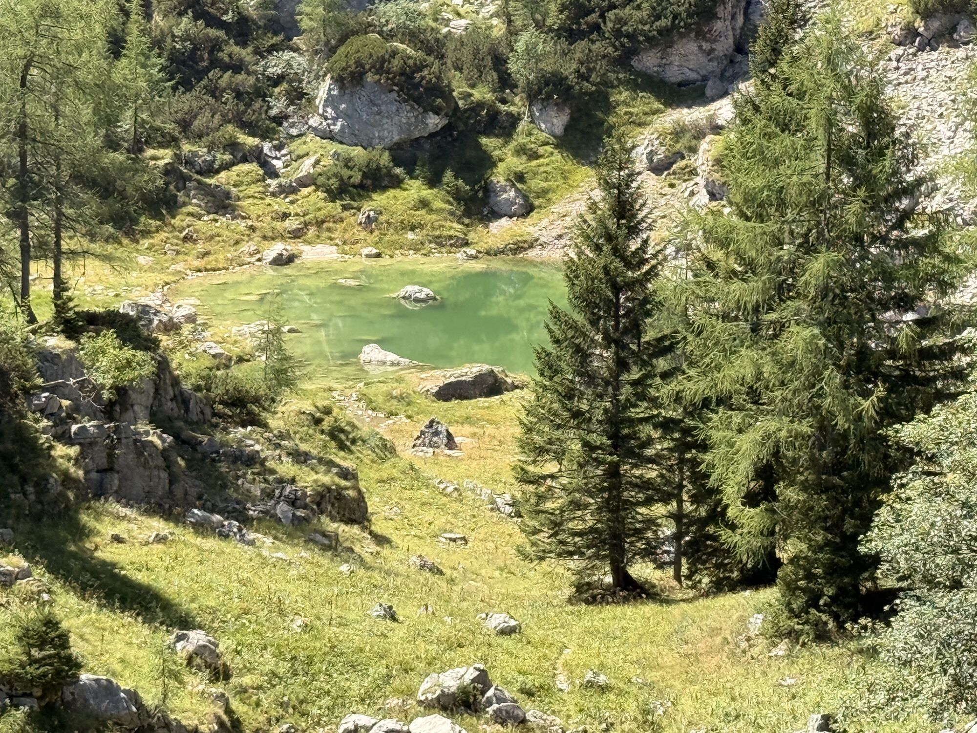
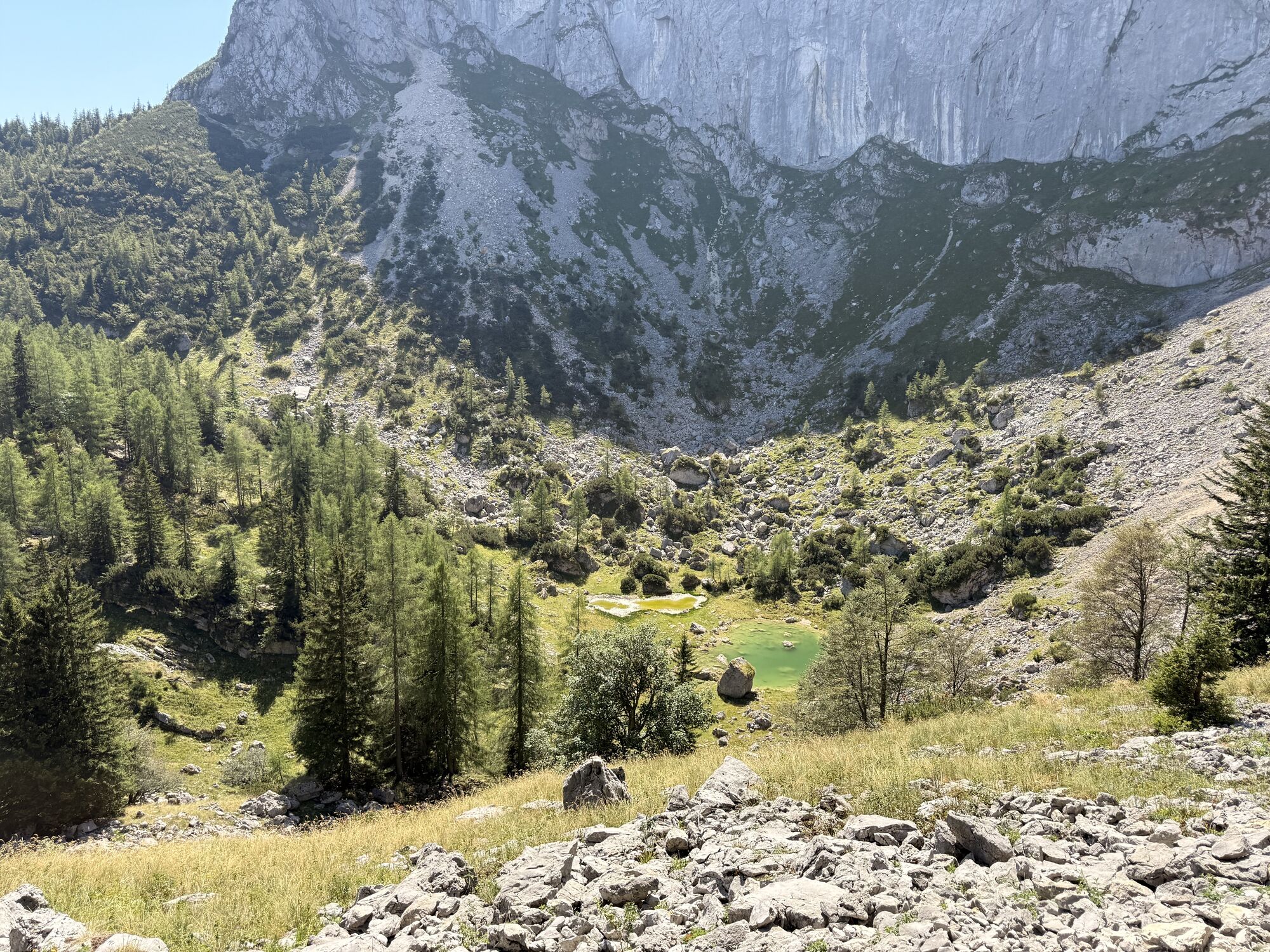
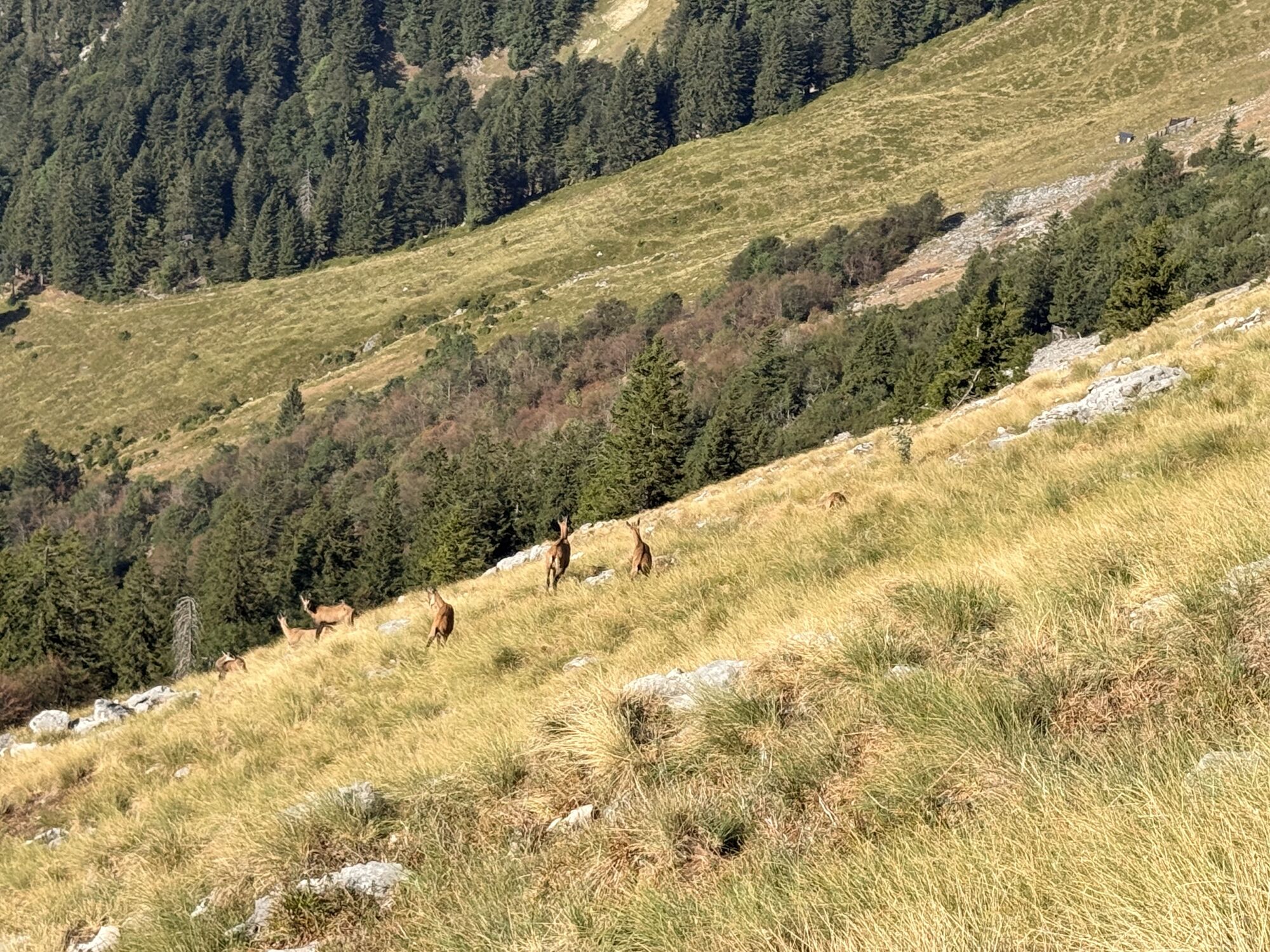
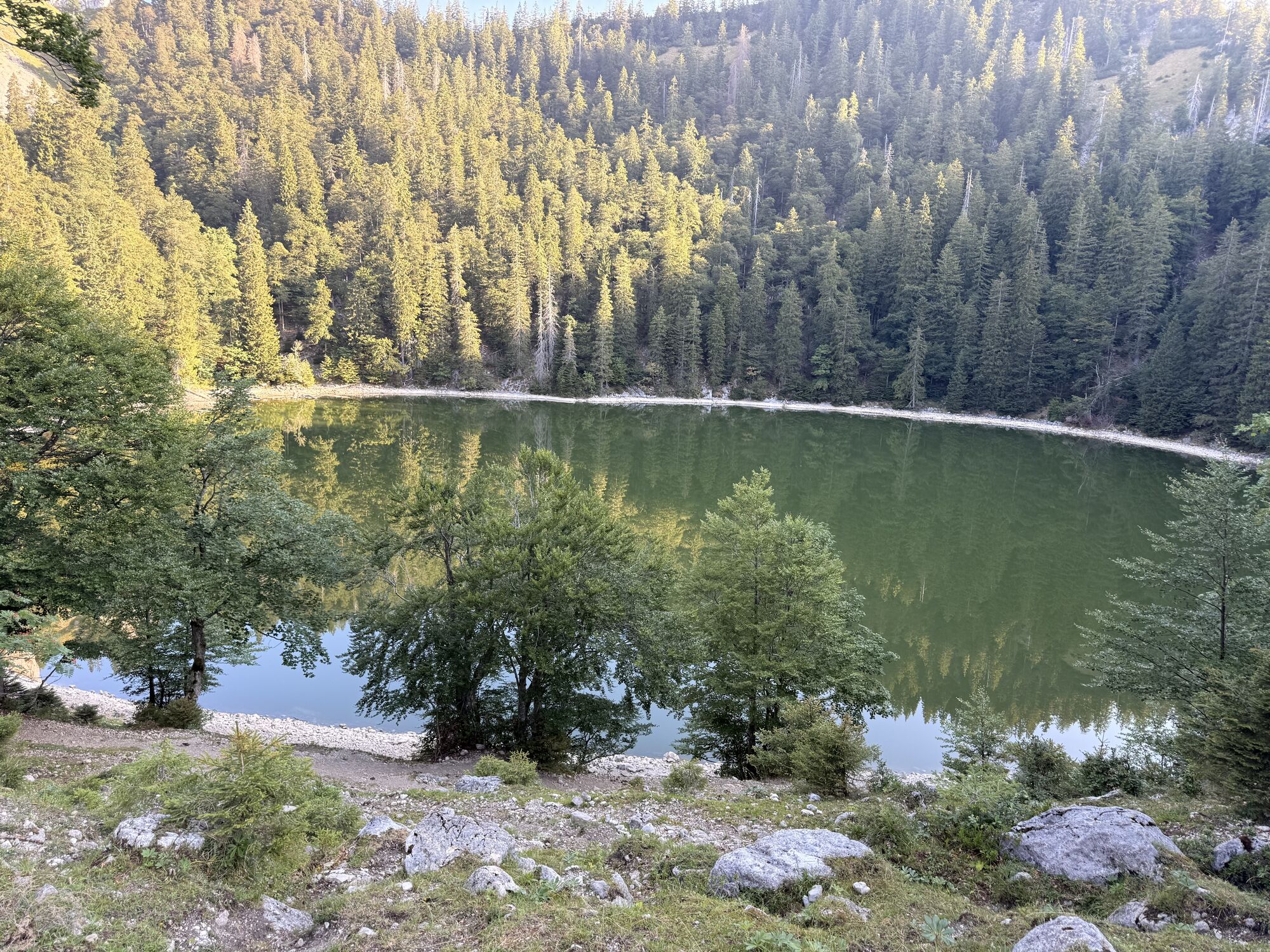
Before the junction Himmelspforte and Eisenau lies Suissensee, magical and mostly in the shade of the steep wall below the Schafberg. With some luck you can see chamois or a herd of mouflon, it’s worth unpacking the binoculars.
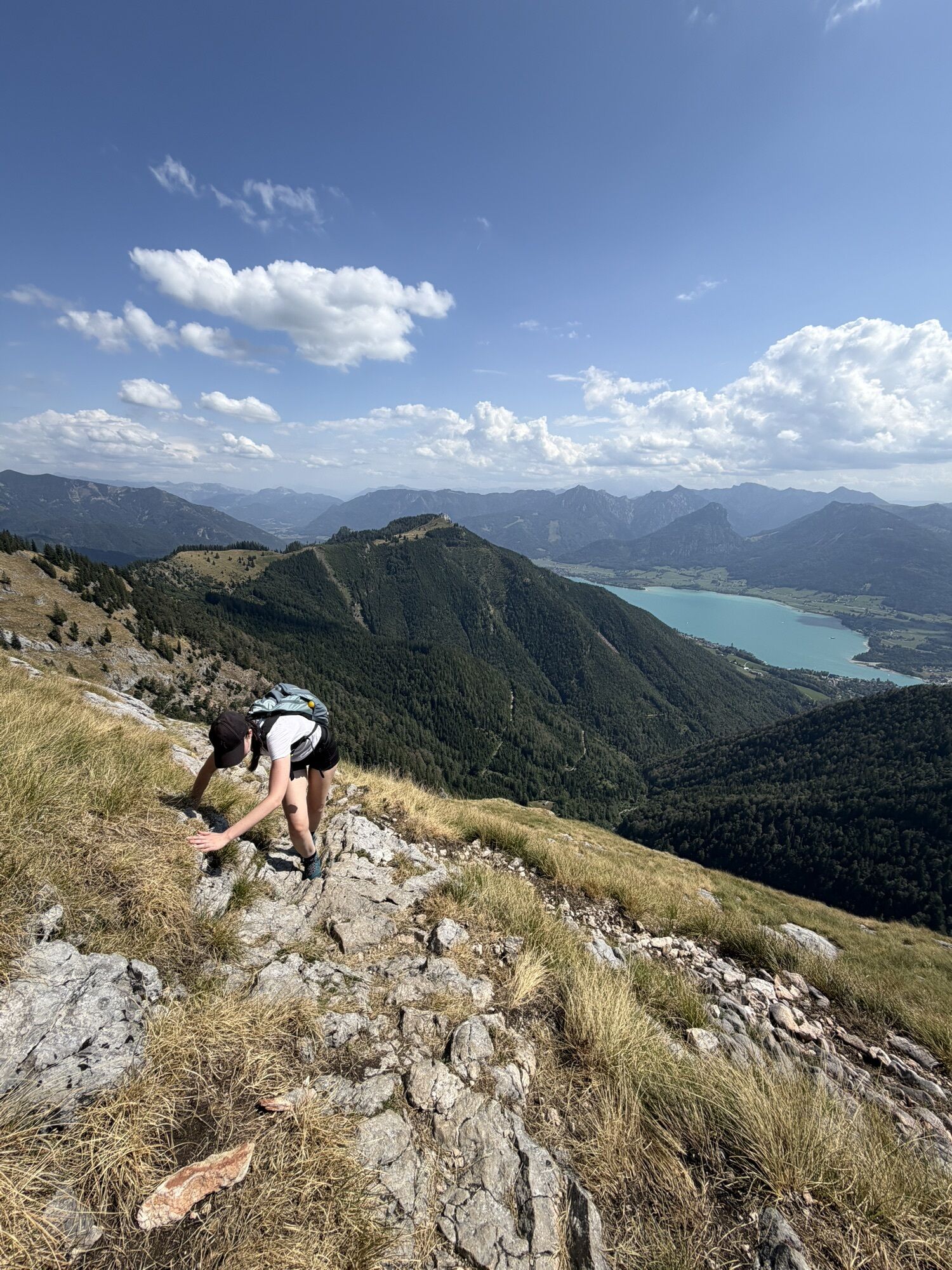
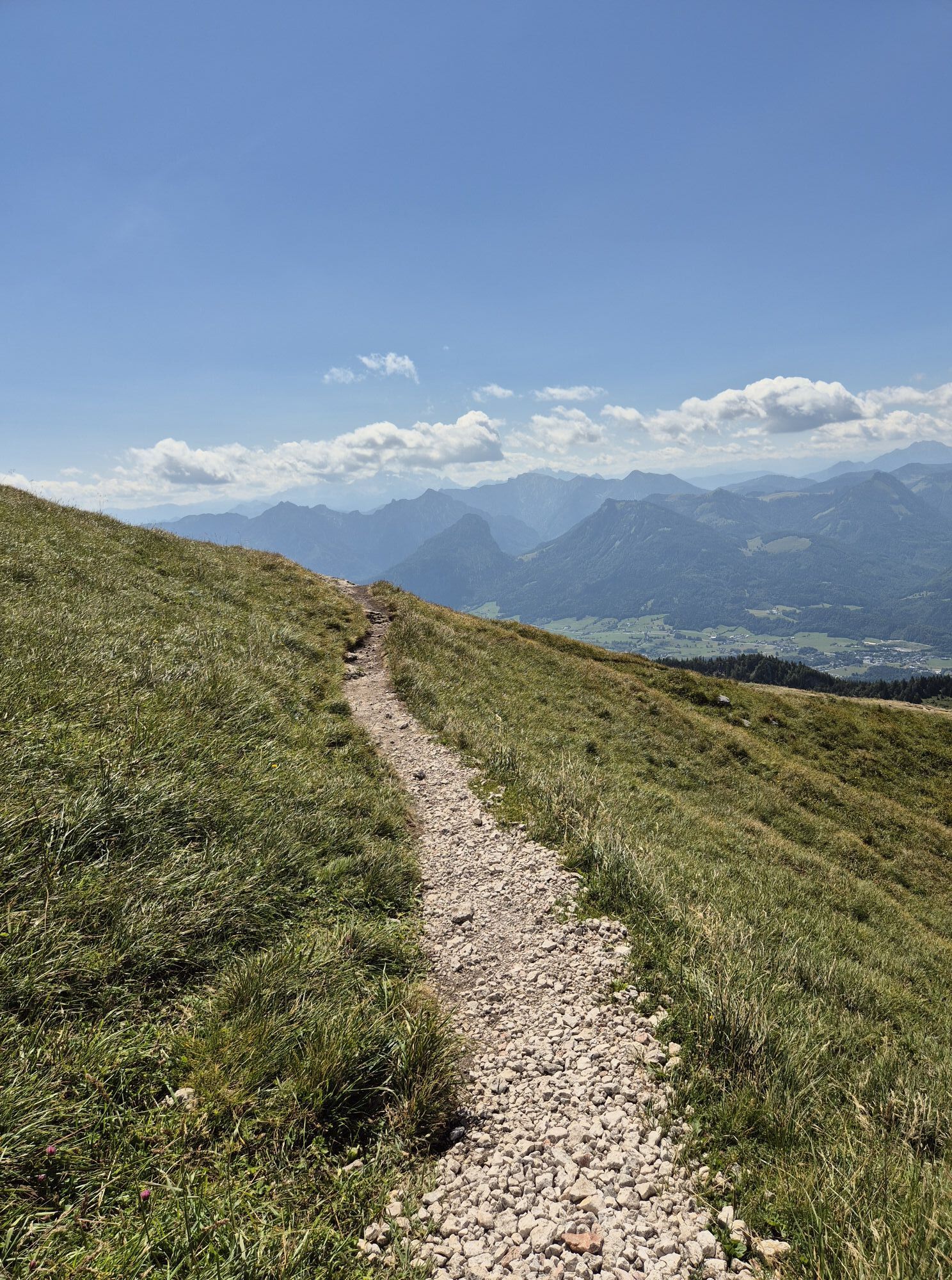
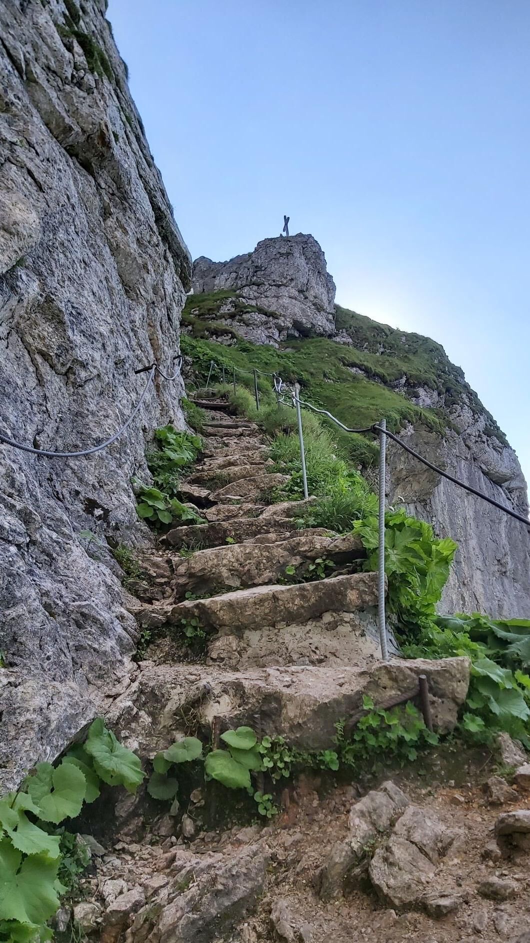
After a short break at the Suissensee, it goes steeply up over the Himmelspfortenweg to the summit of the Schafberg. Hiking poles are recommended, walk slowly and carefully, some sections are very steep and somewhat exposed.
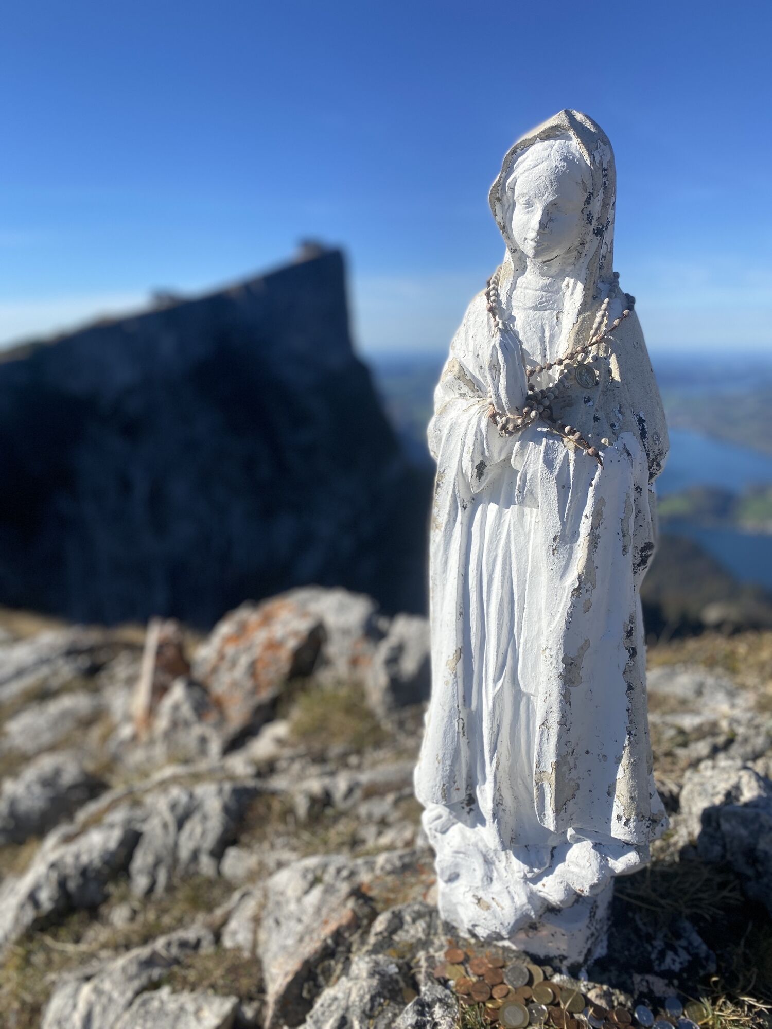
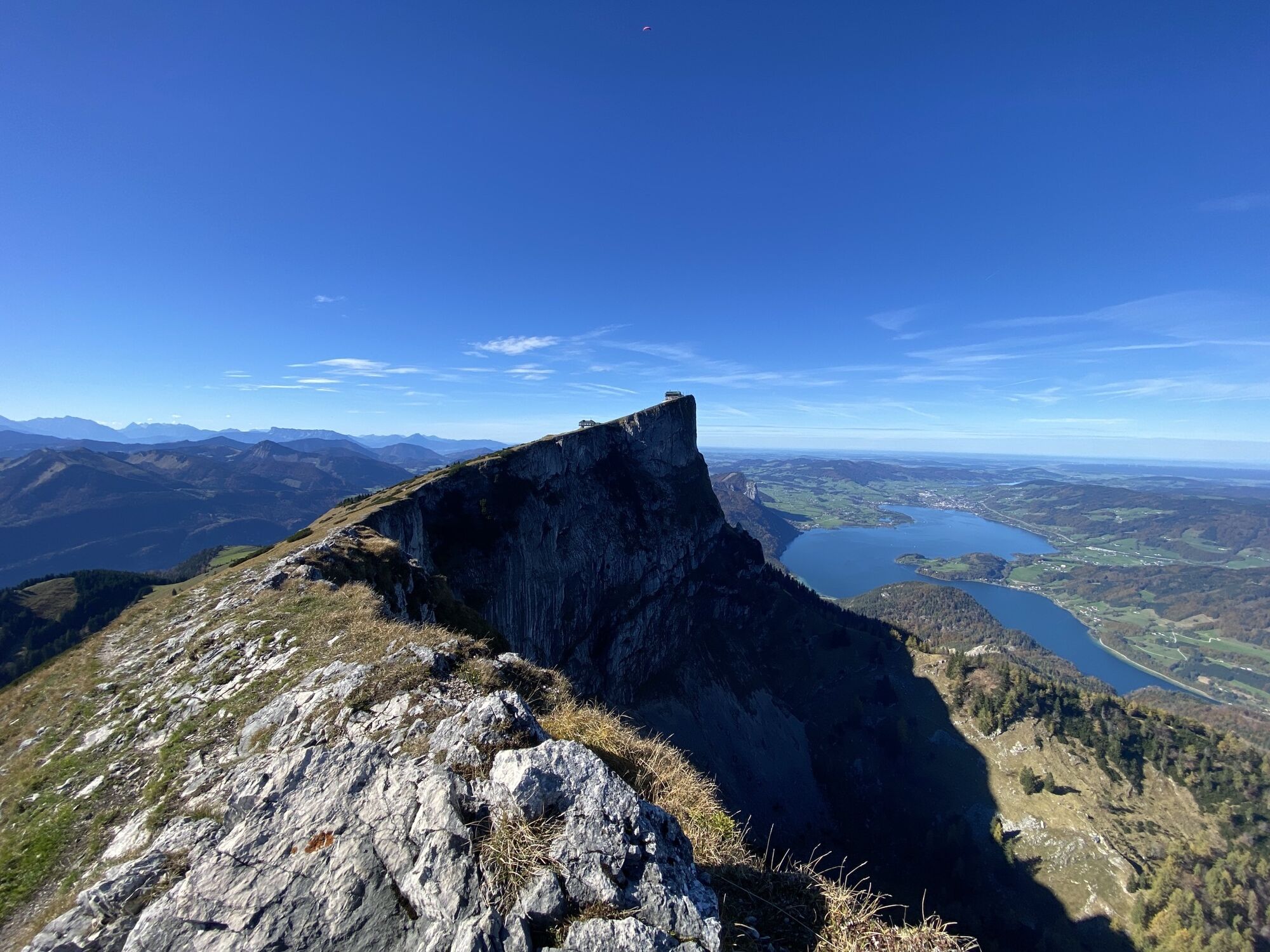
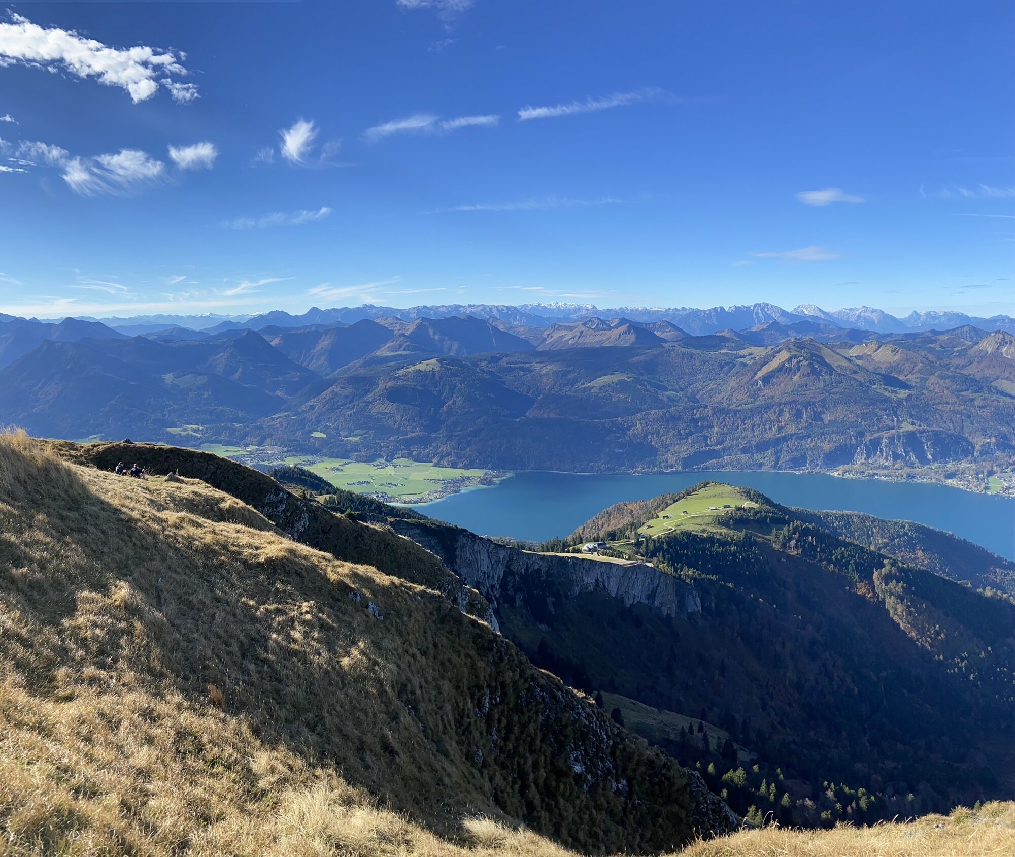
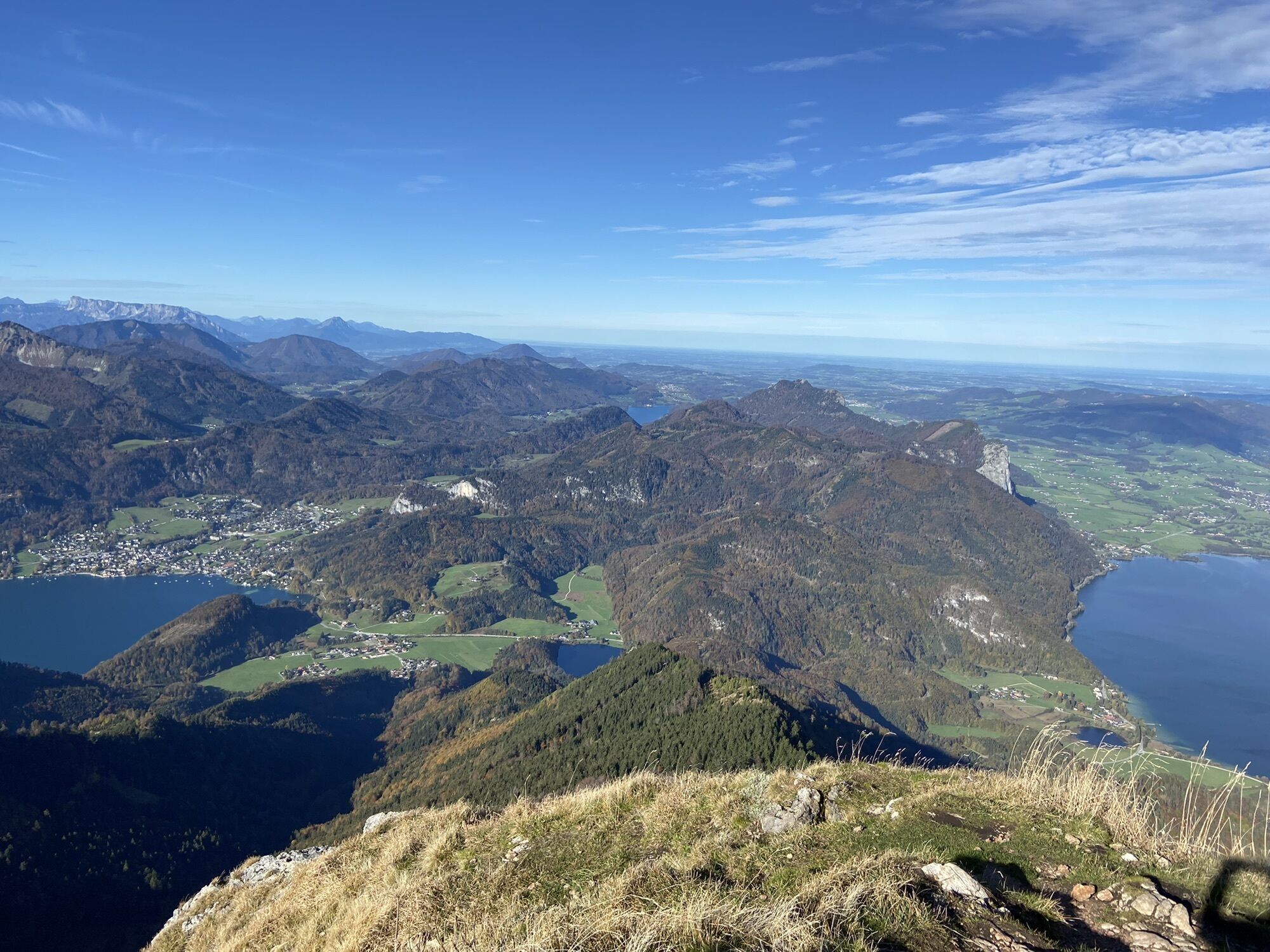
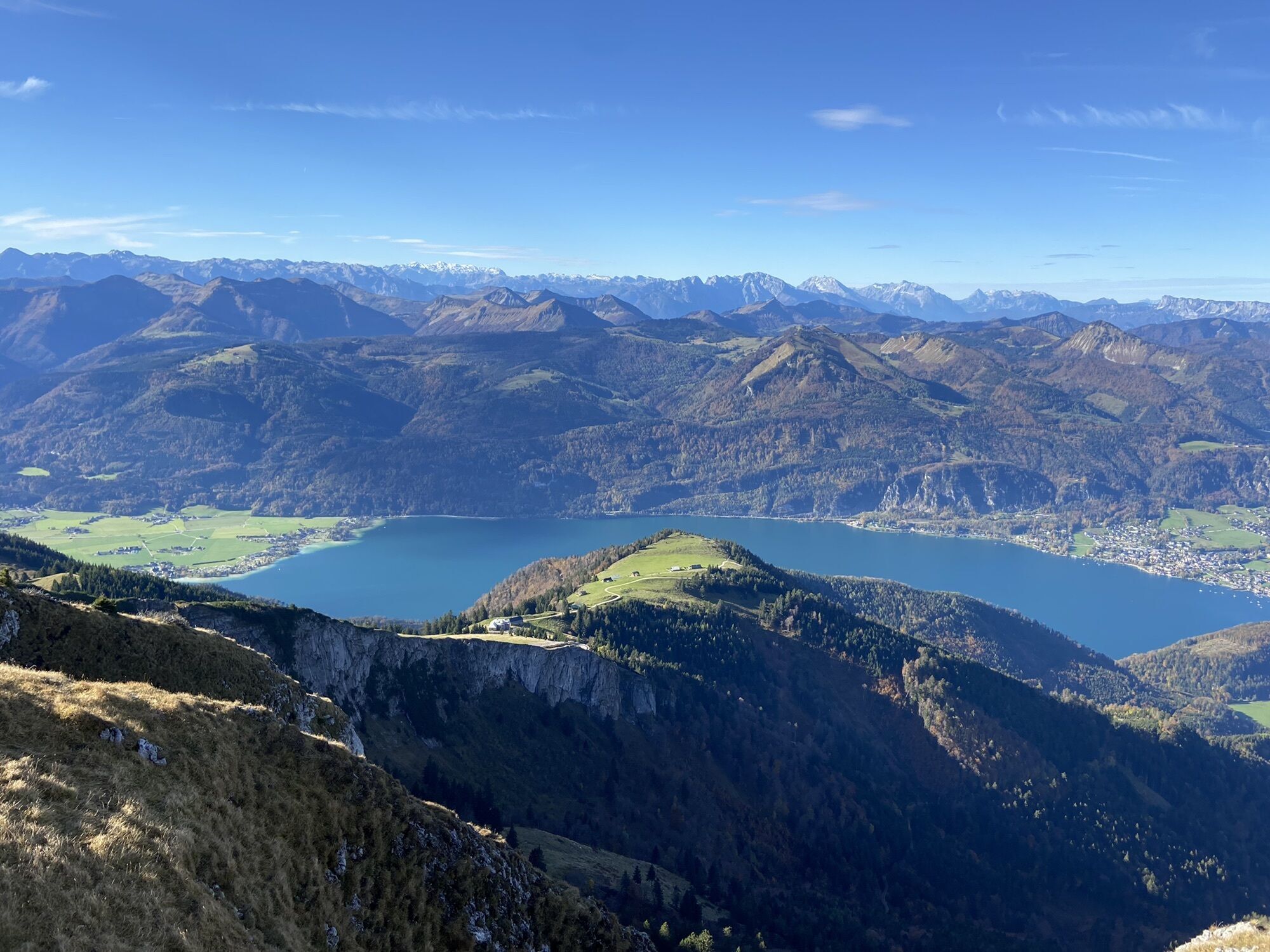
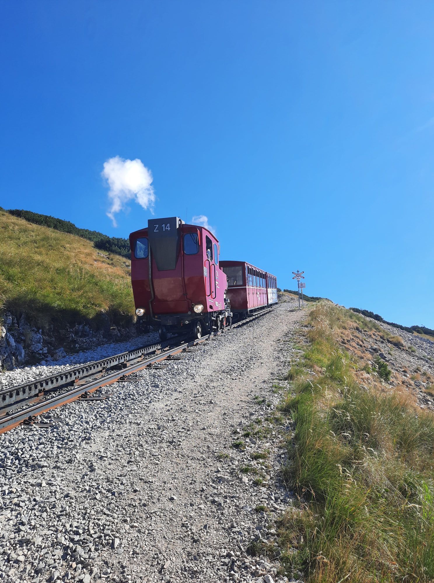
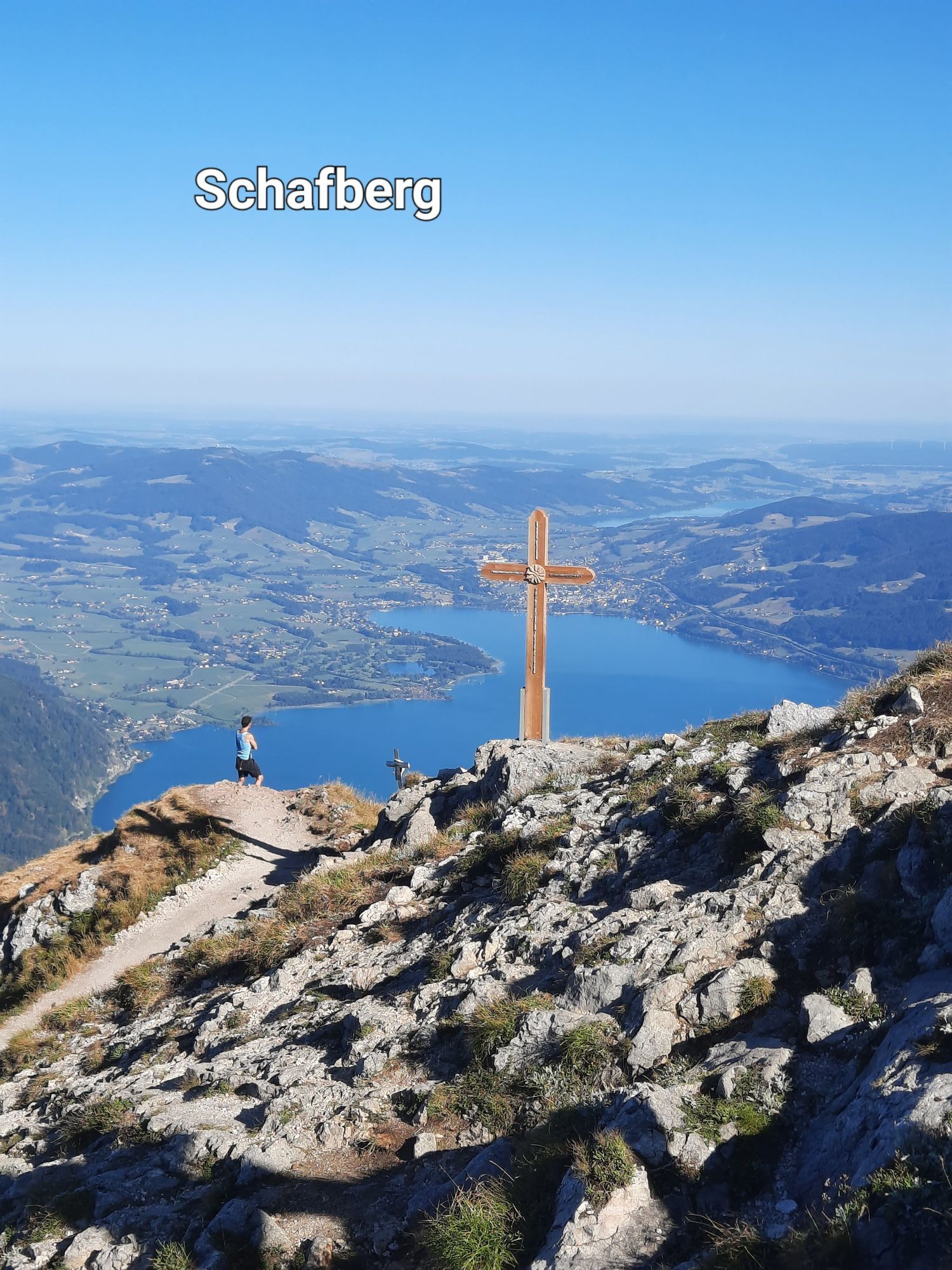
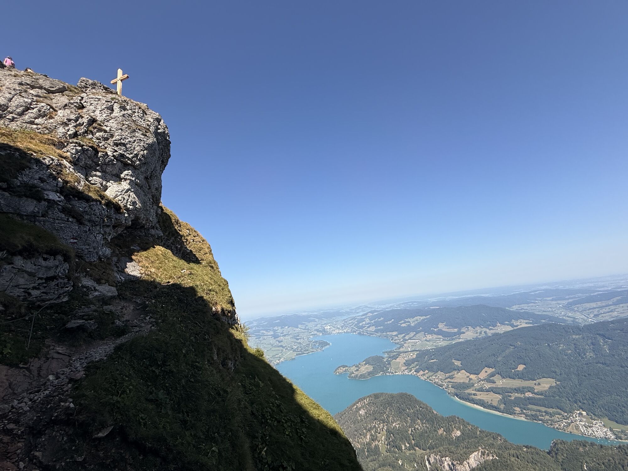
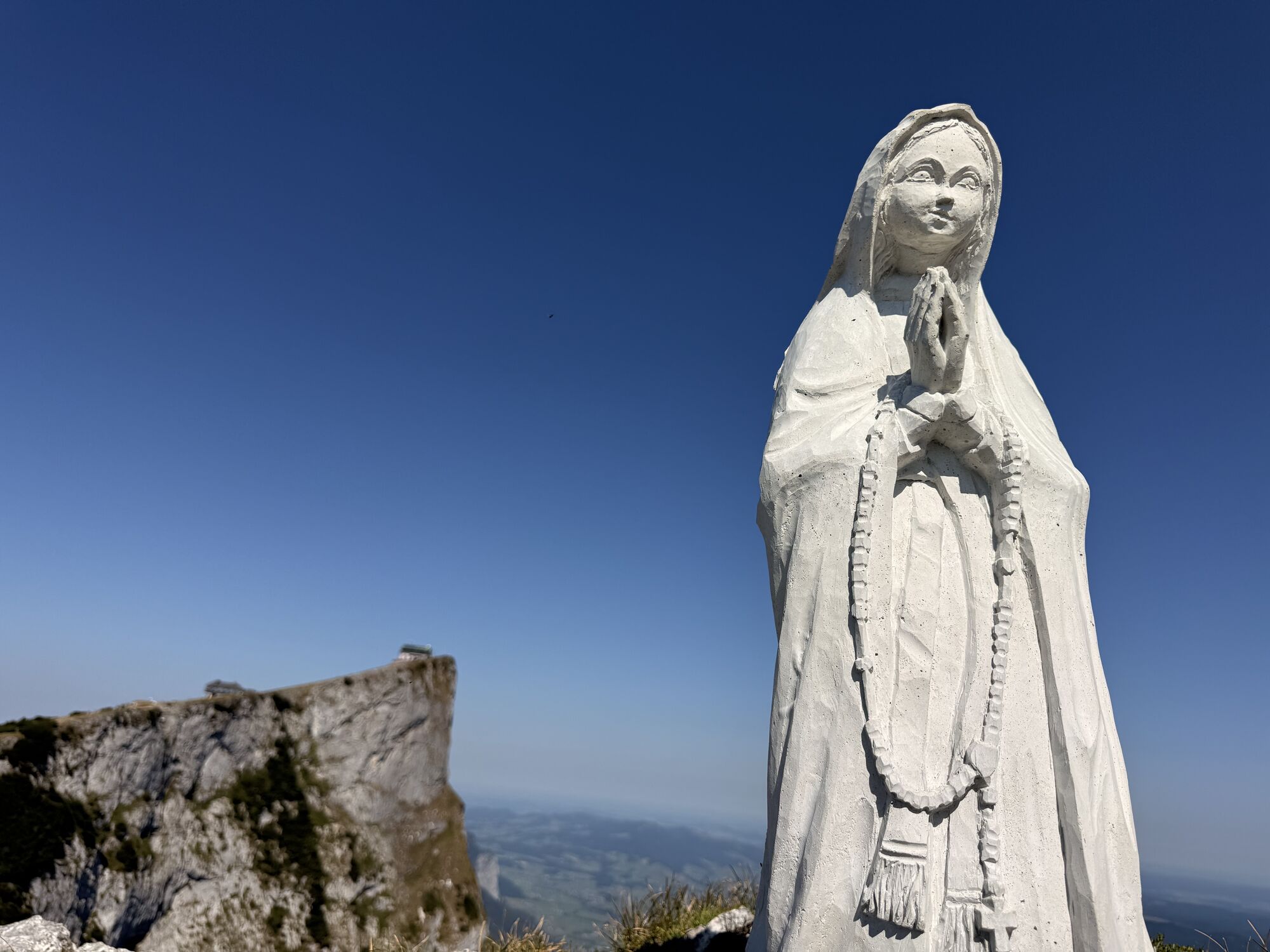
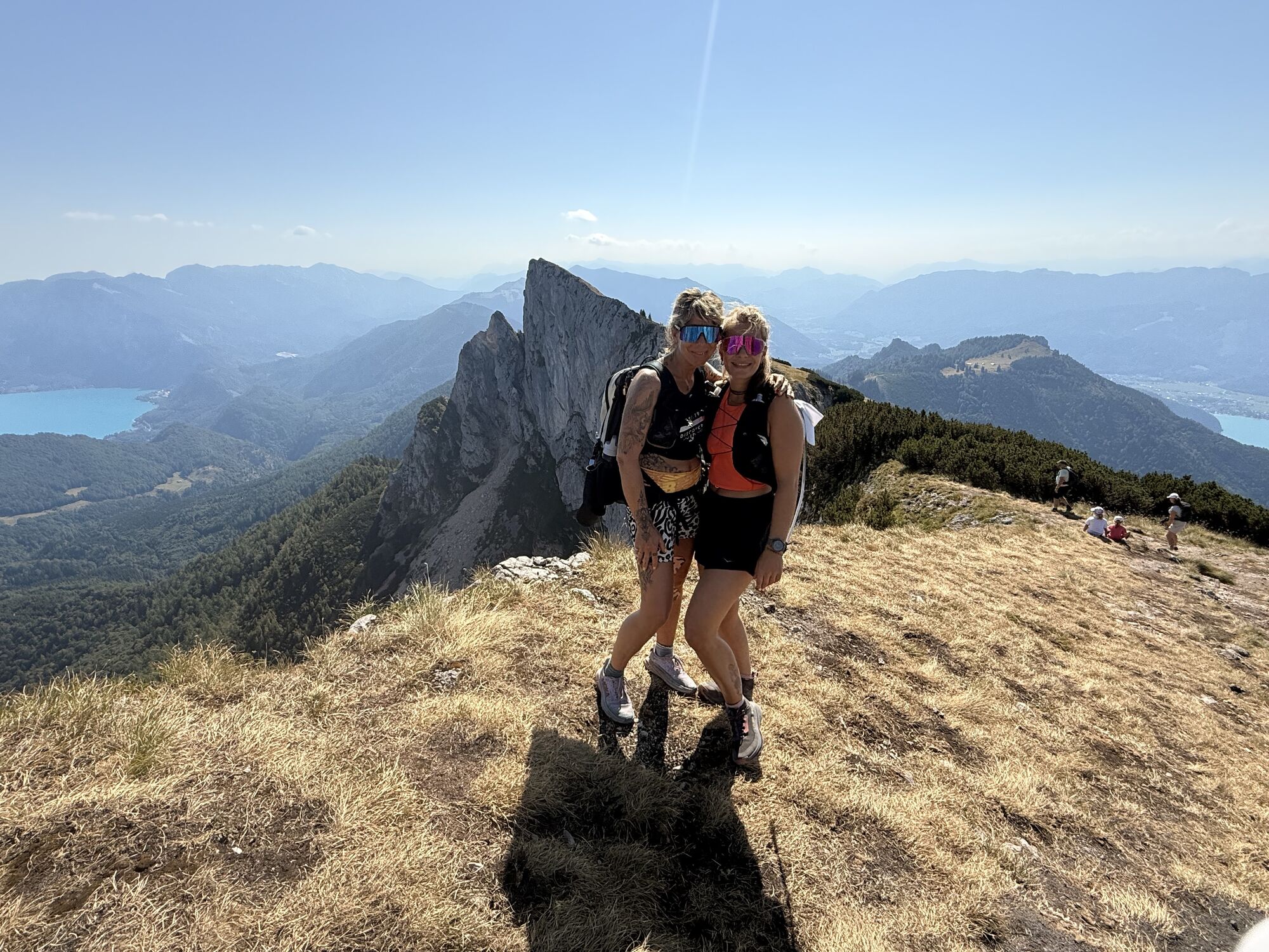
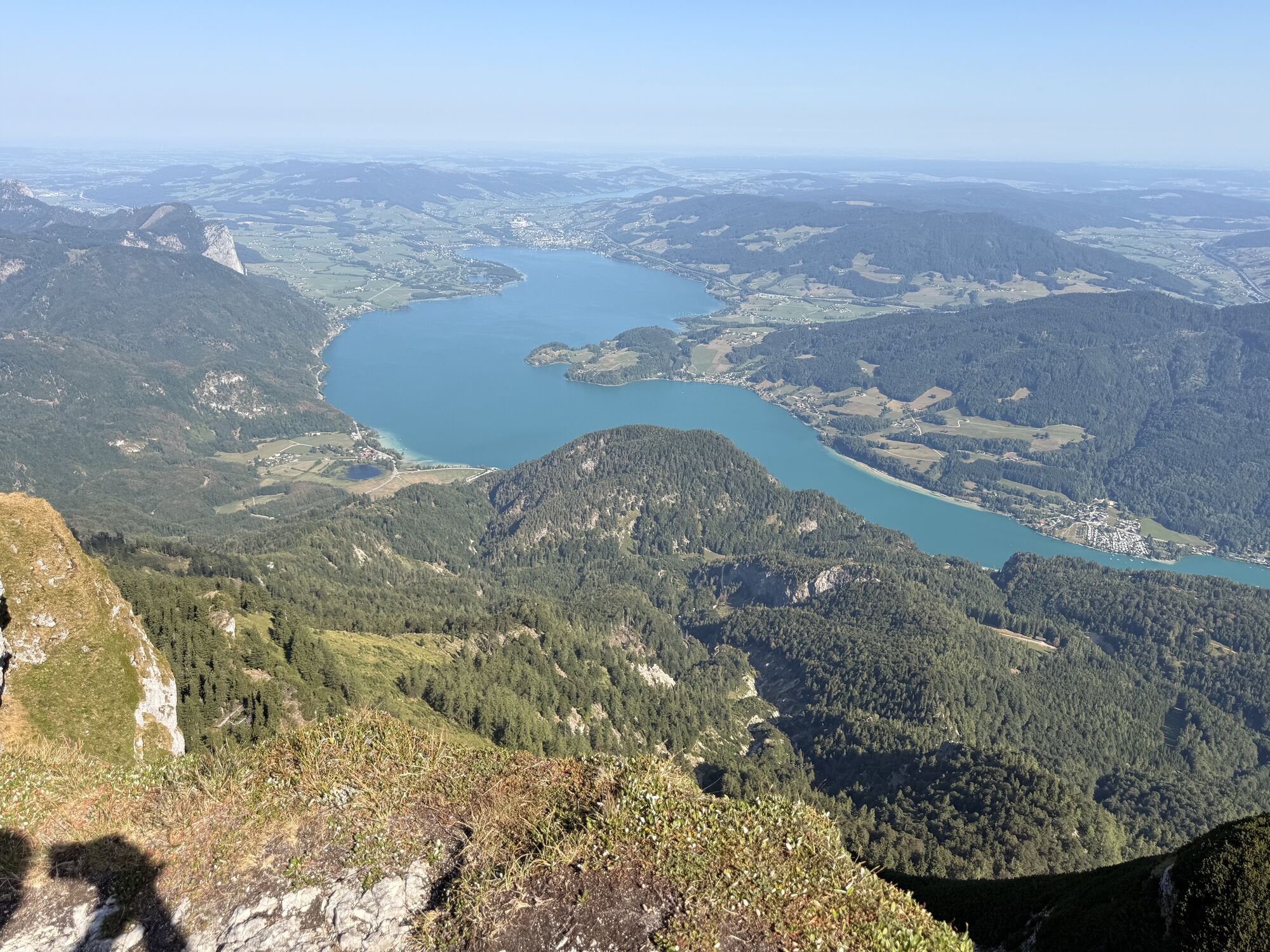
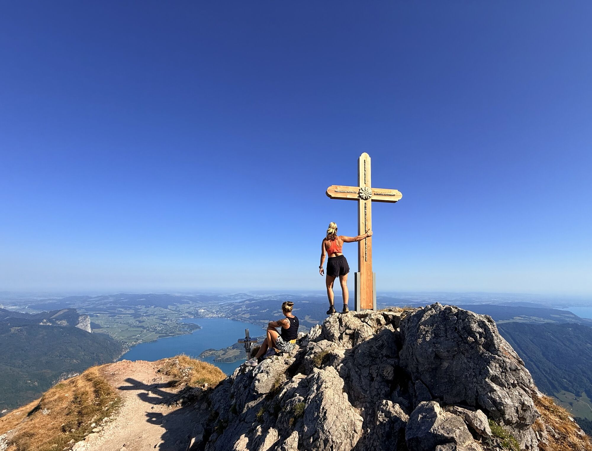
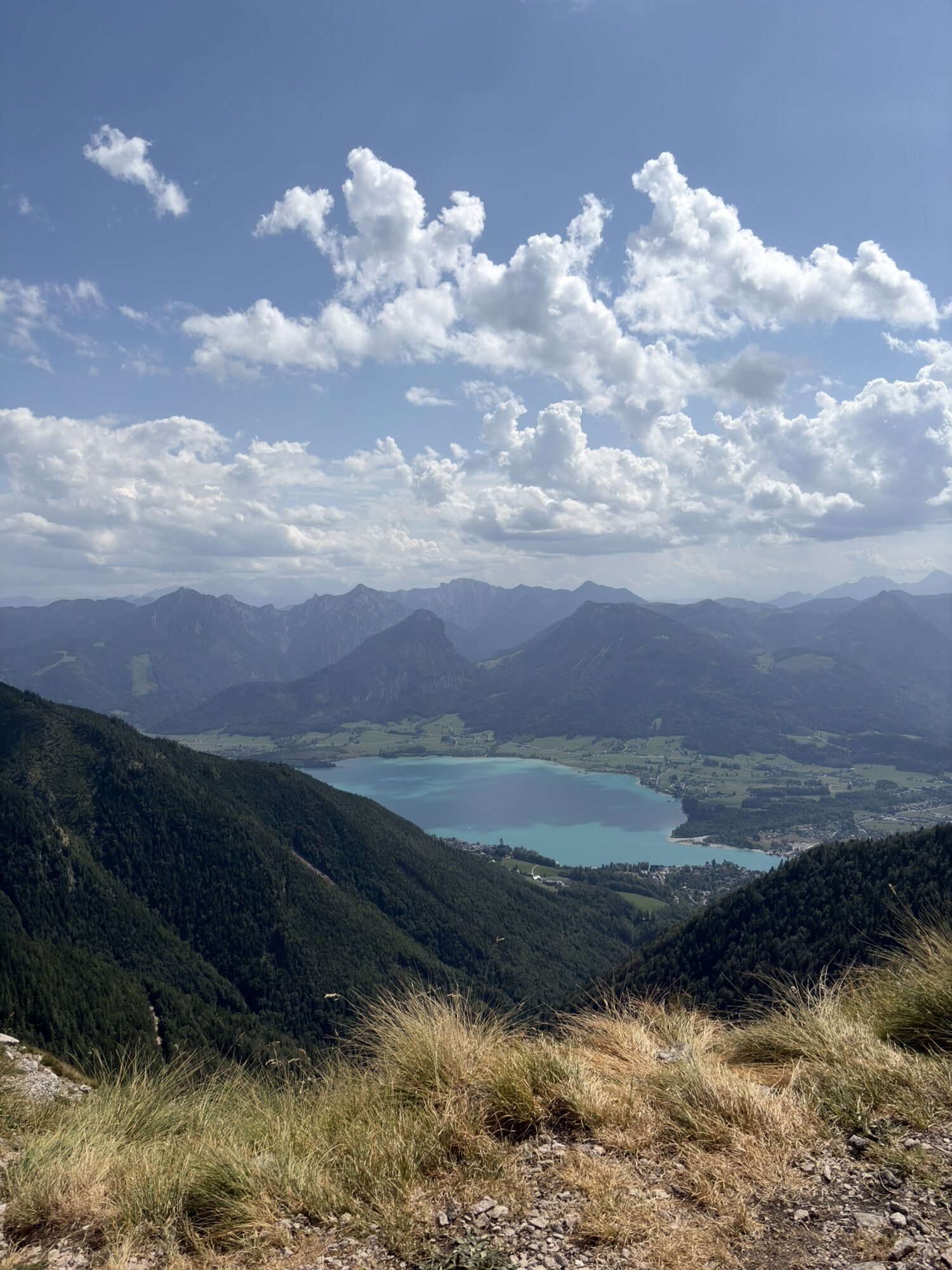
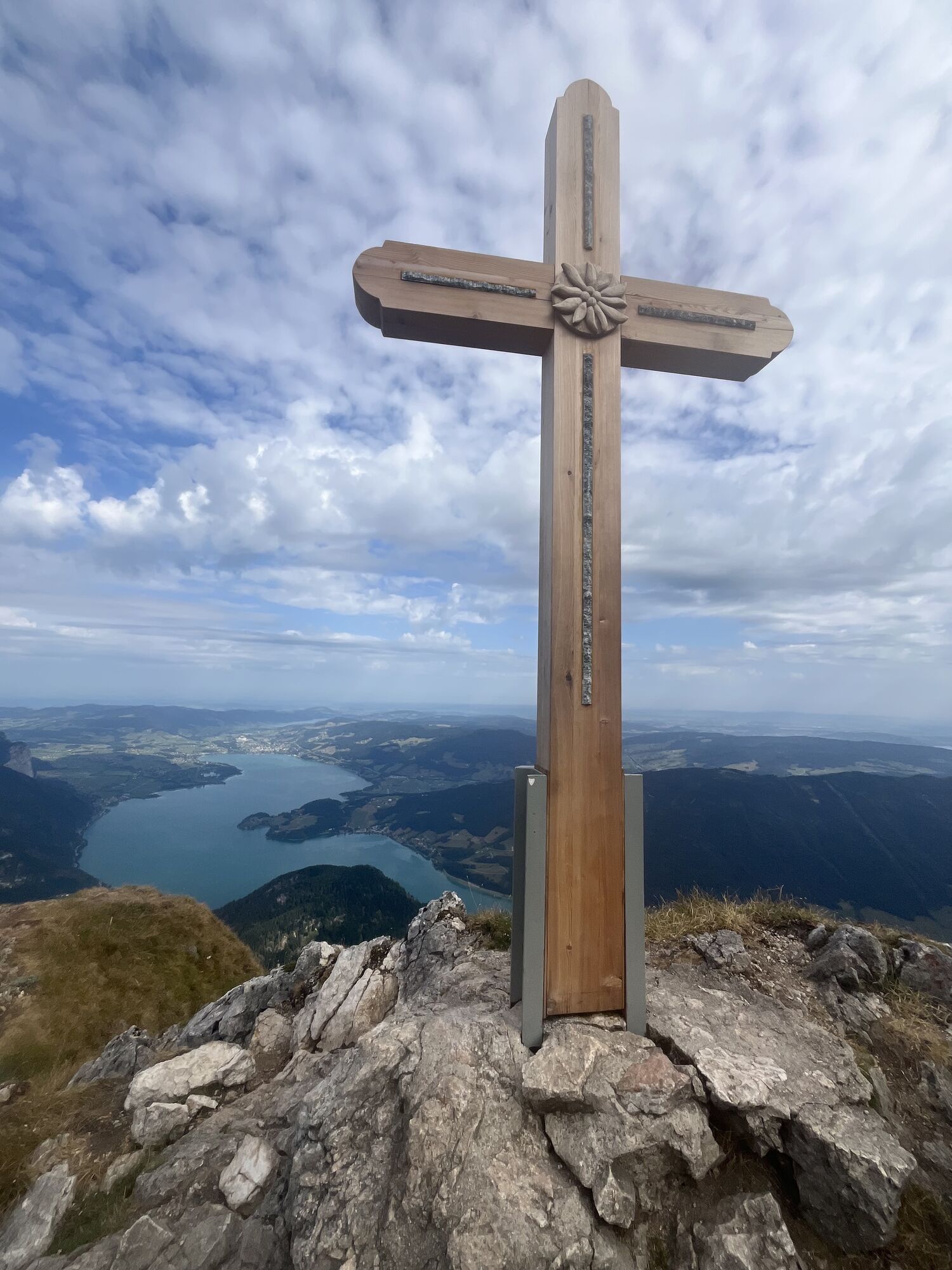
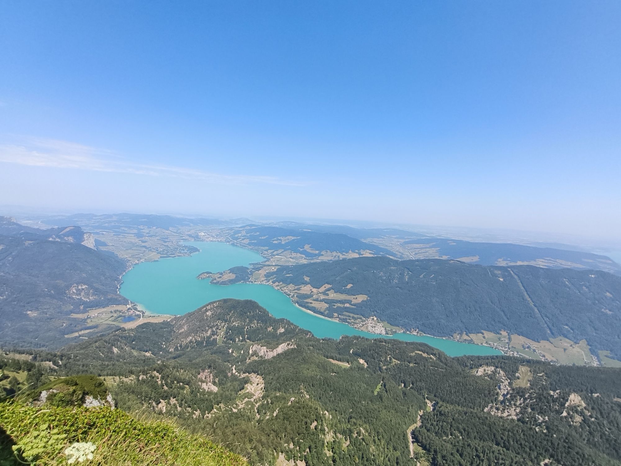
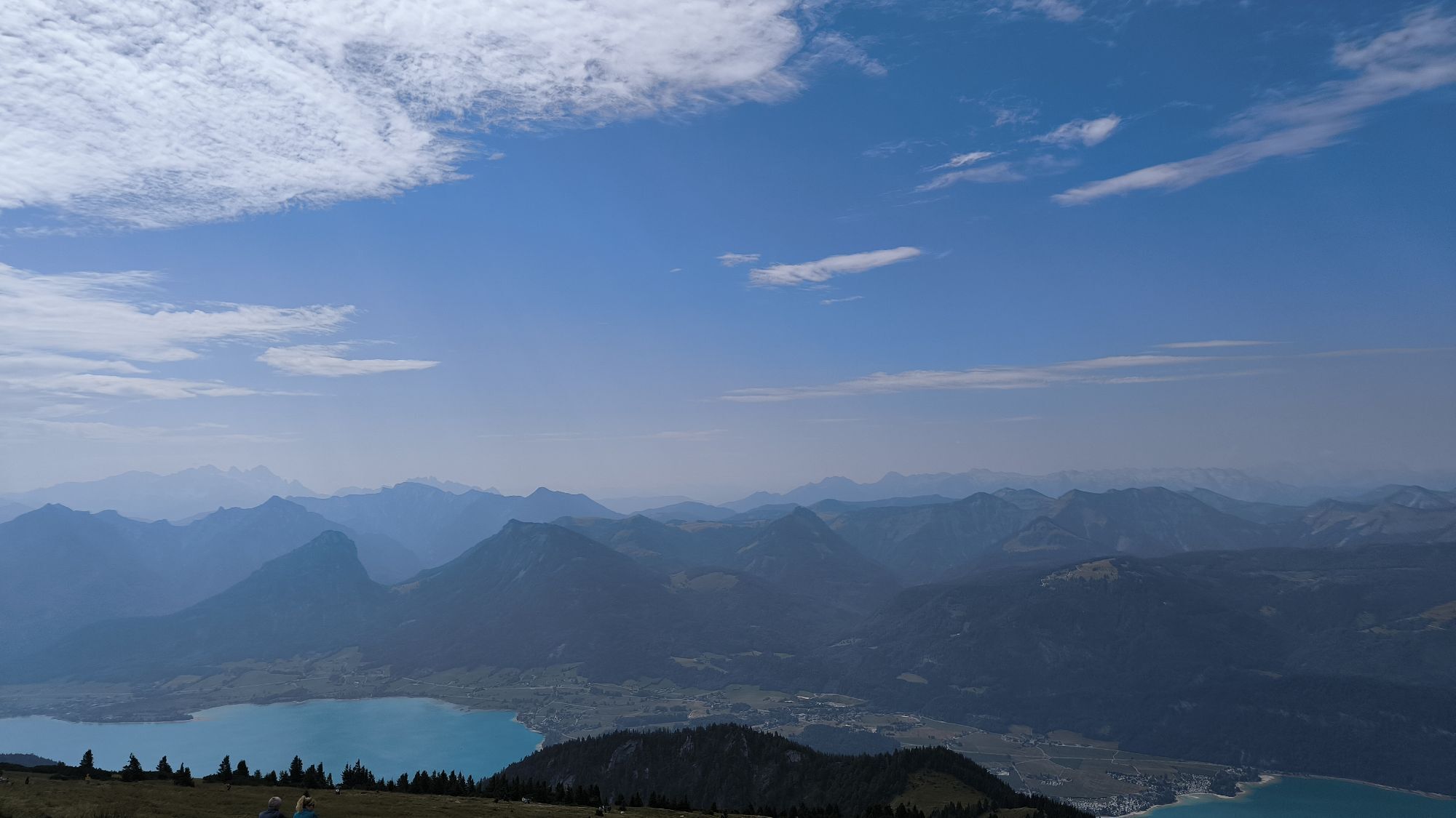
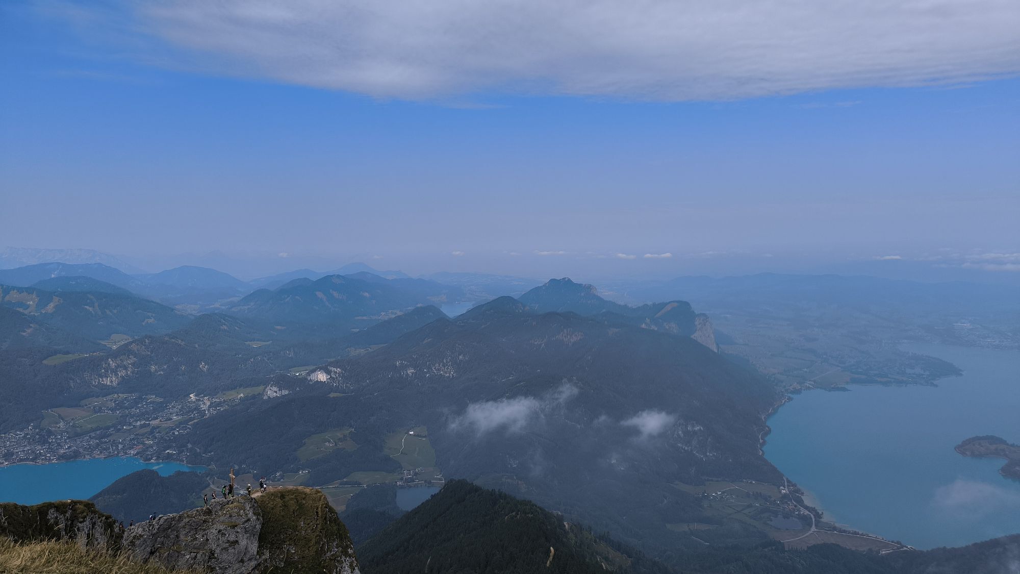
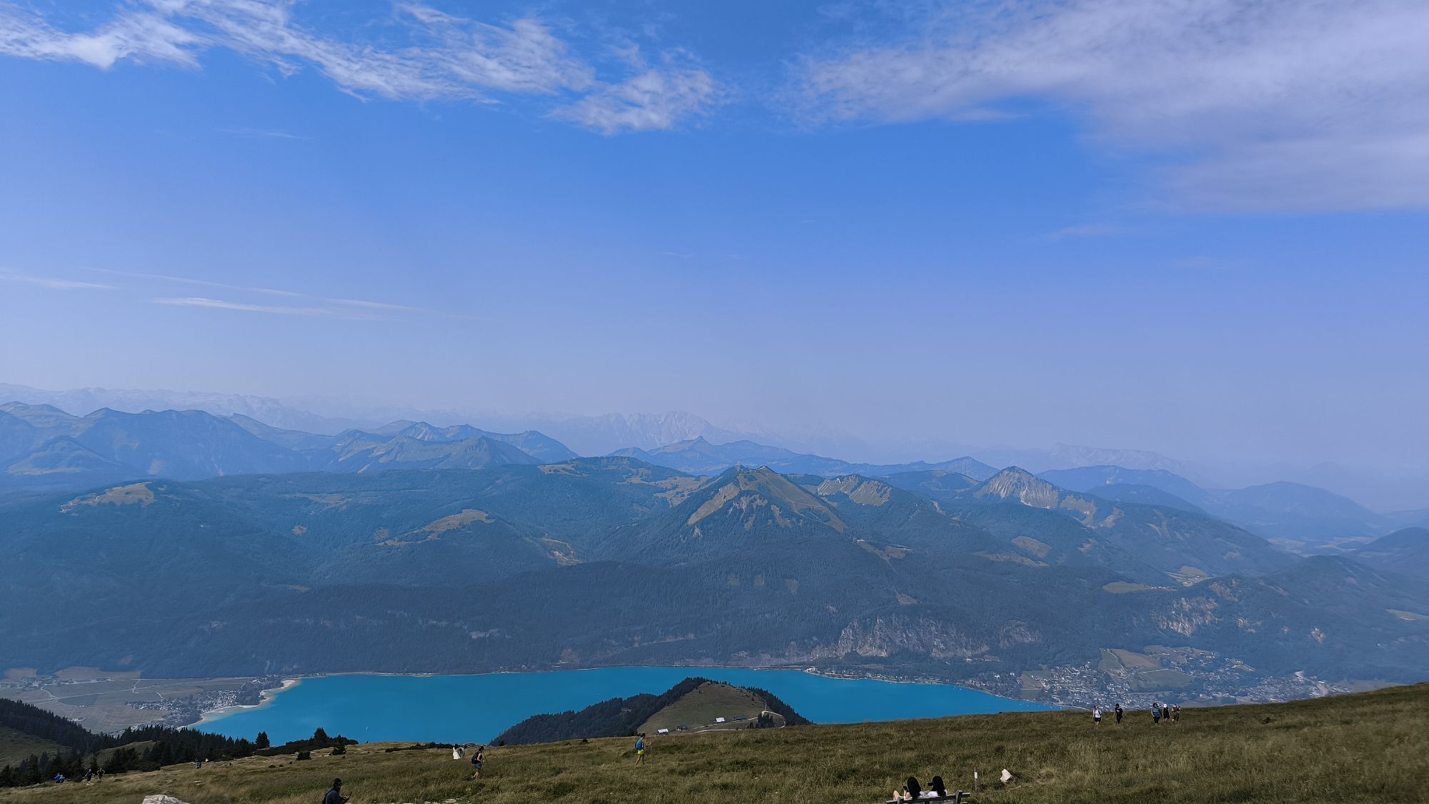
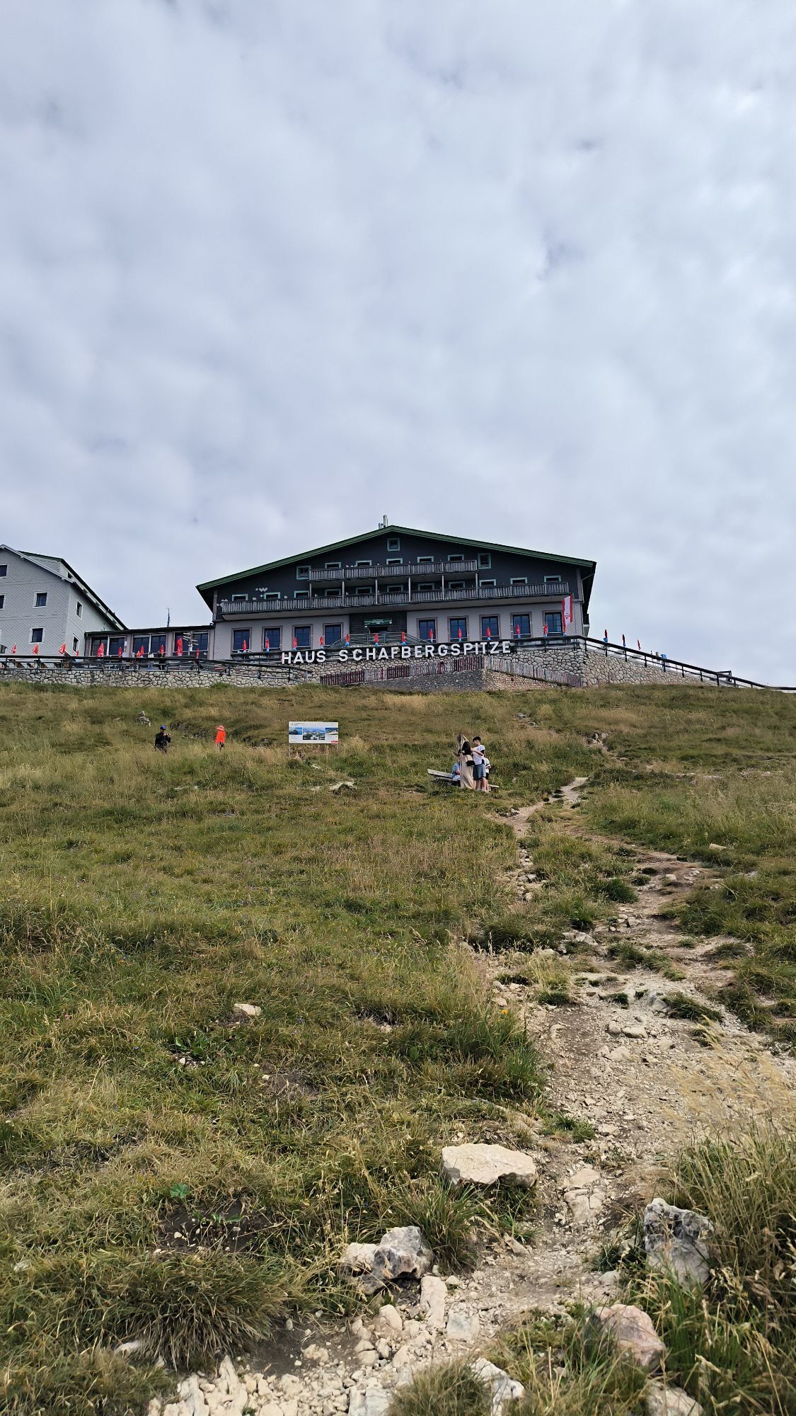
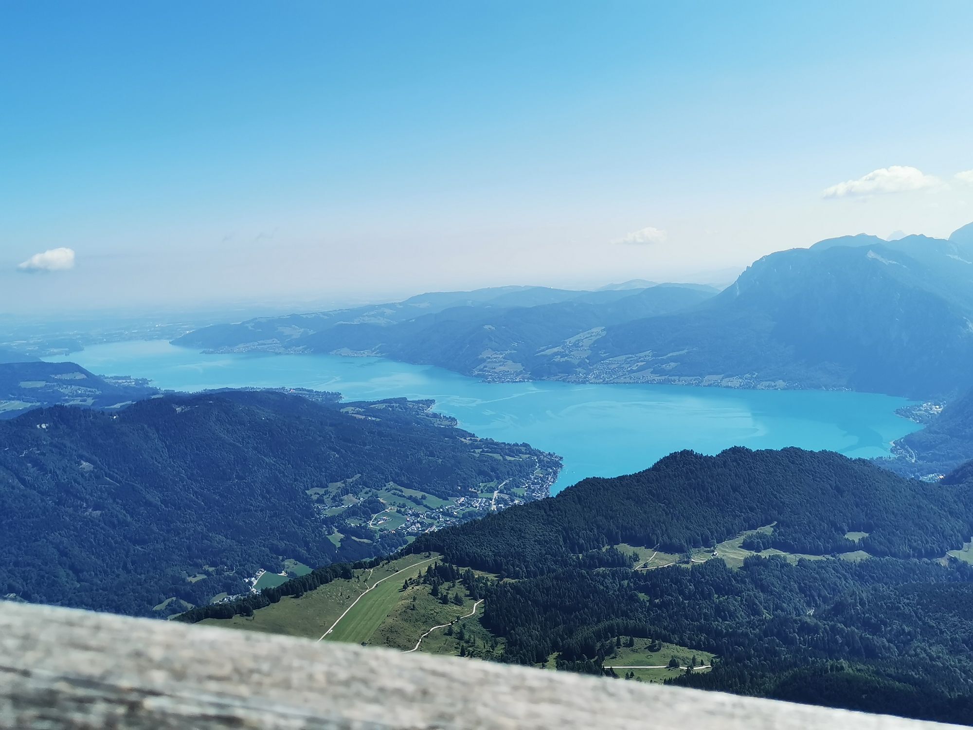
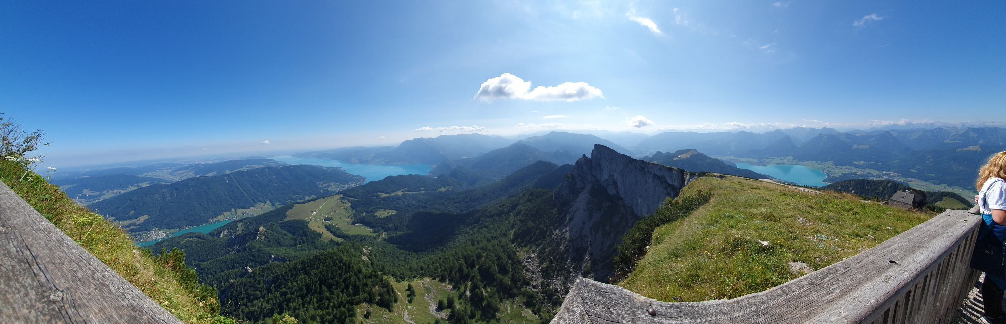
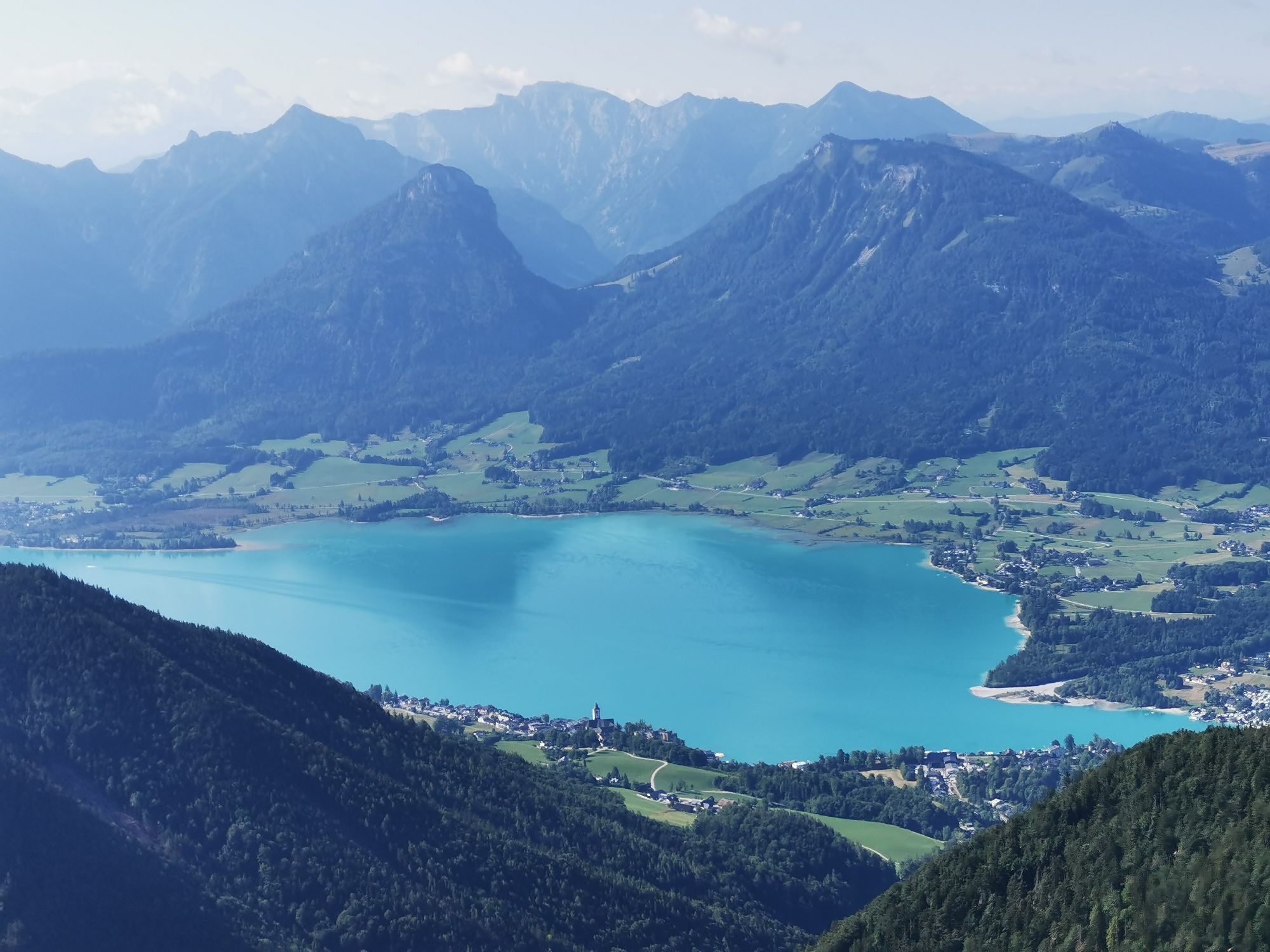
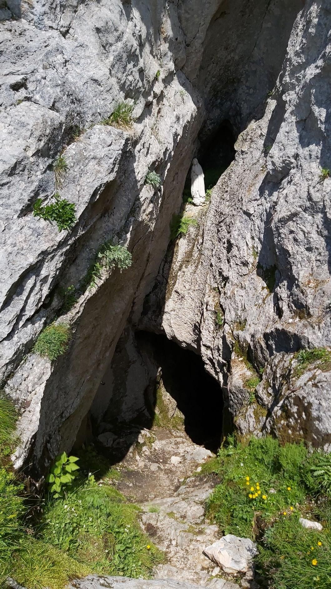
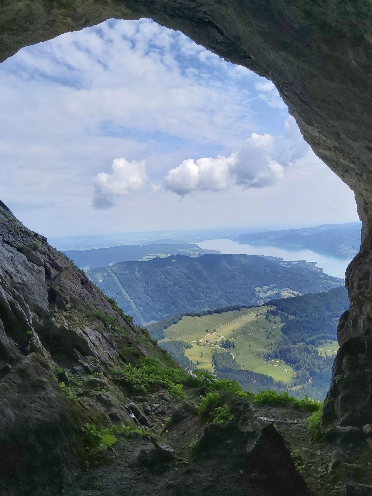
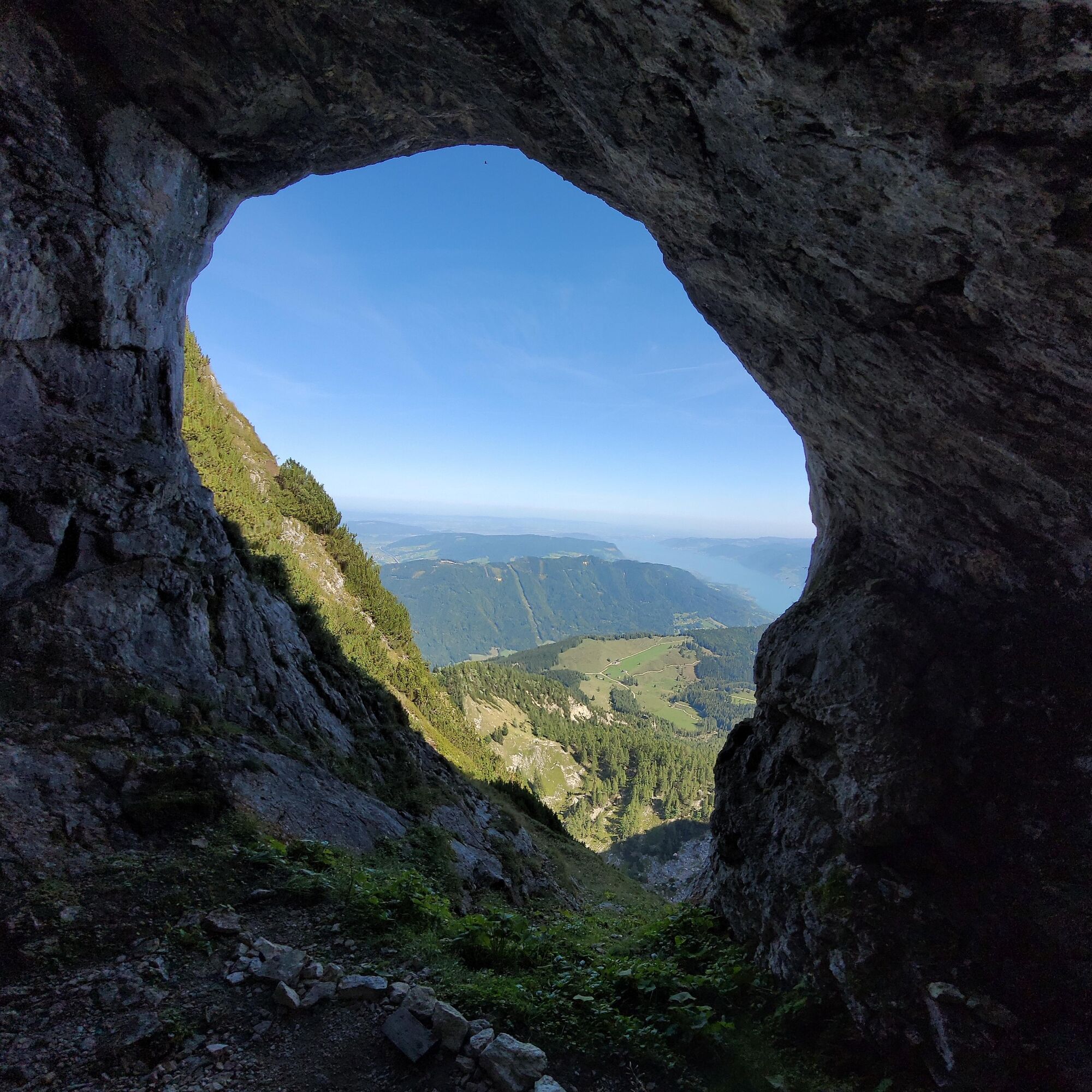
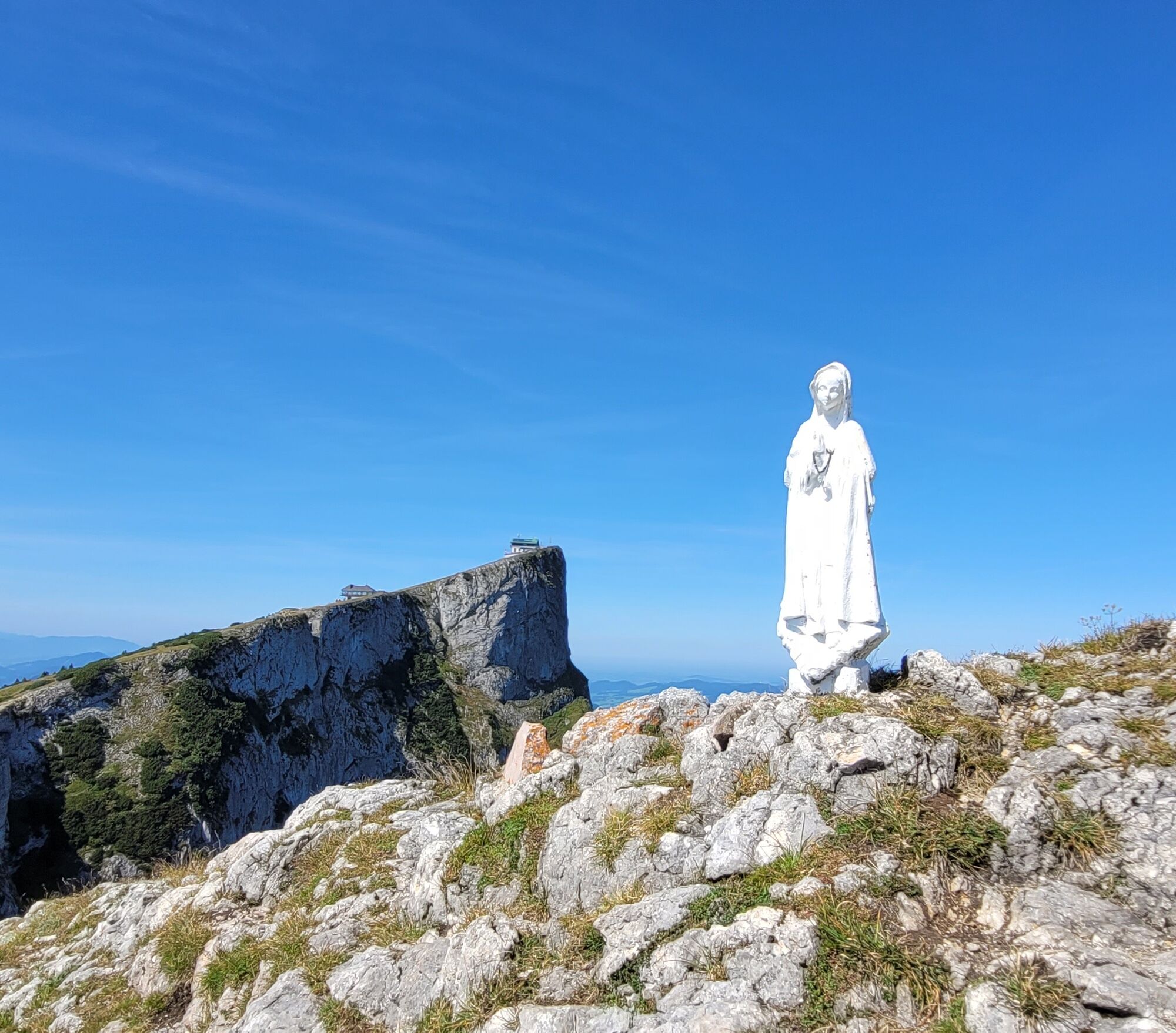
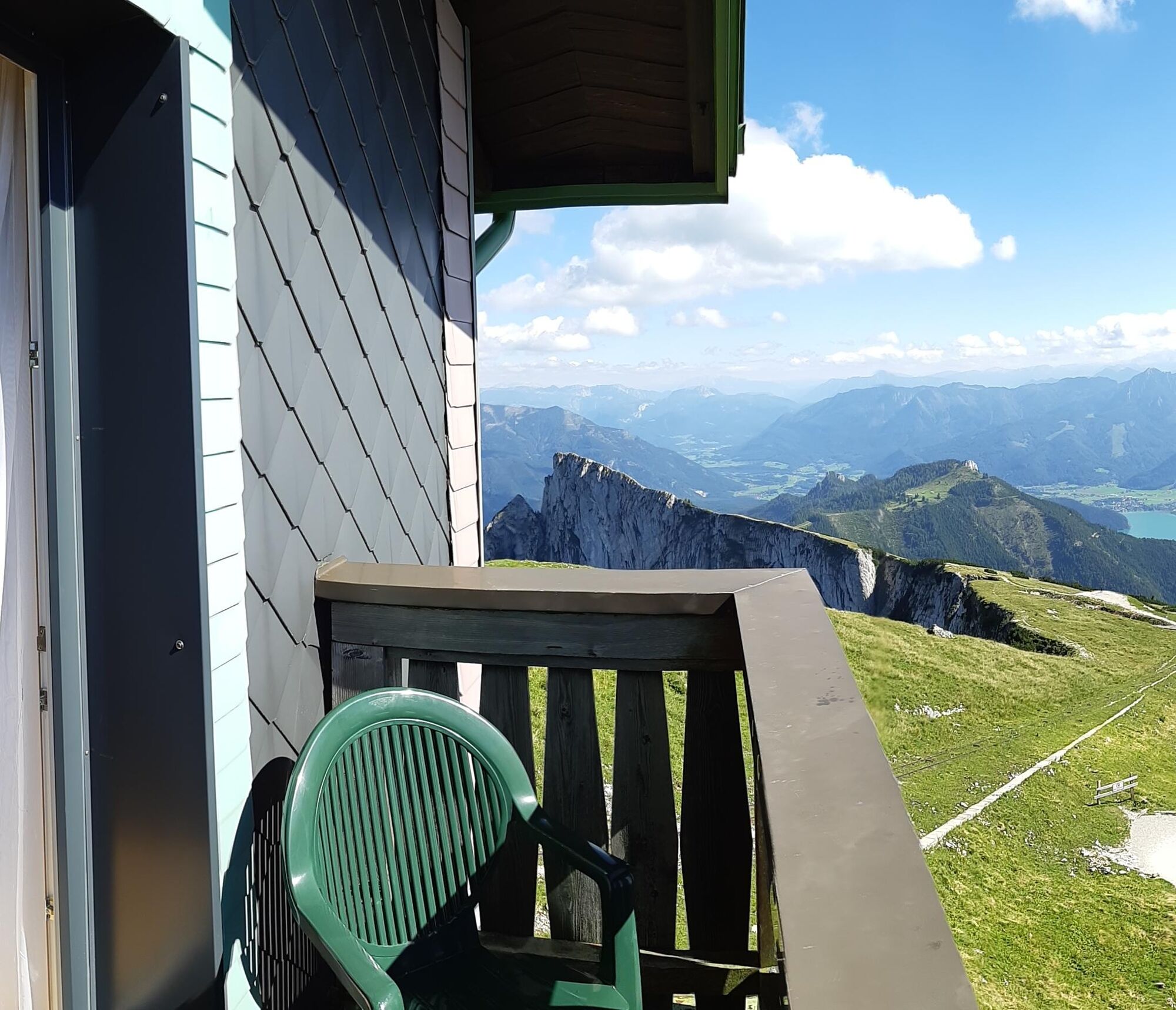
The real goal is reached! Those who still have strength should go below the Schafbergbahn to the Adlerhöhle and to the Spinnerin. Instead of the summit cross there is a white statue of Mary and a magnificent view of the Schafberghotel and a huge 360° panorama.
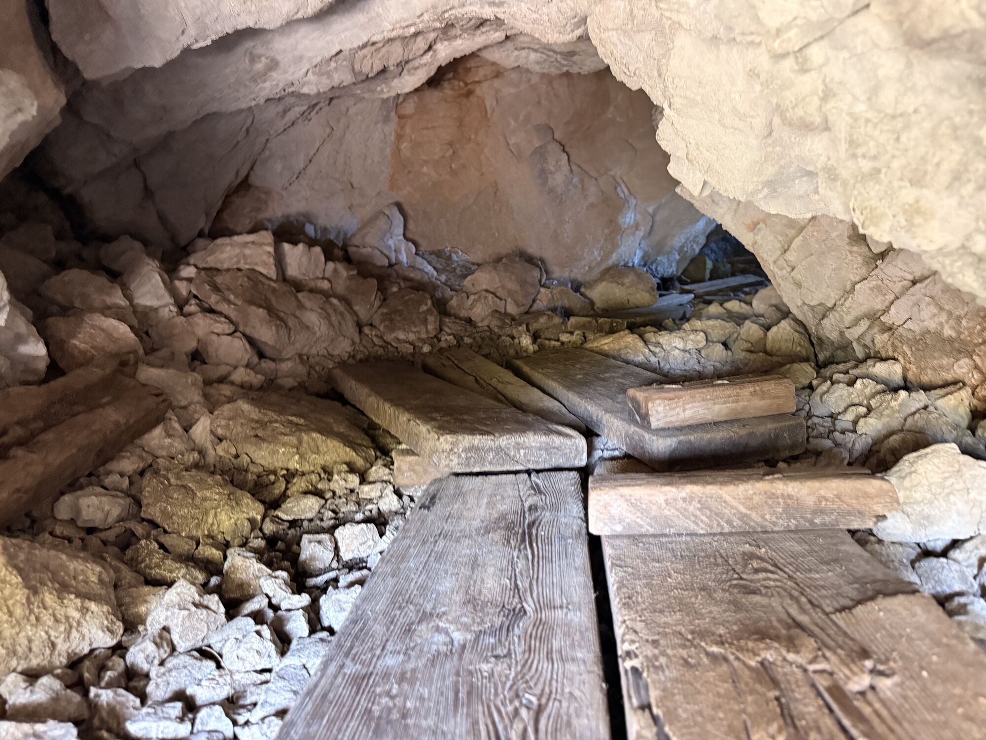
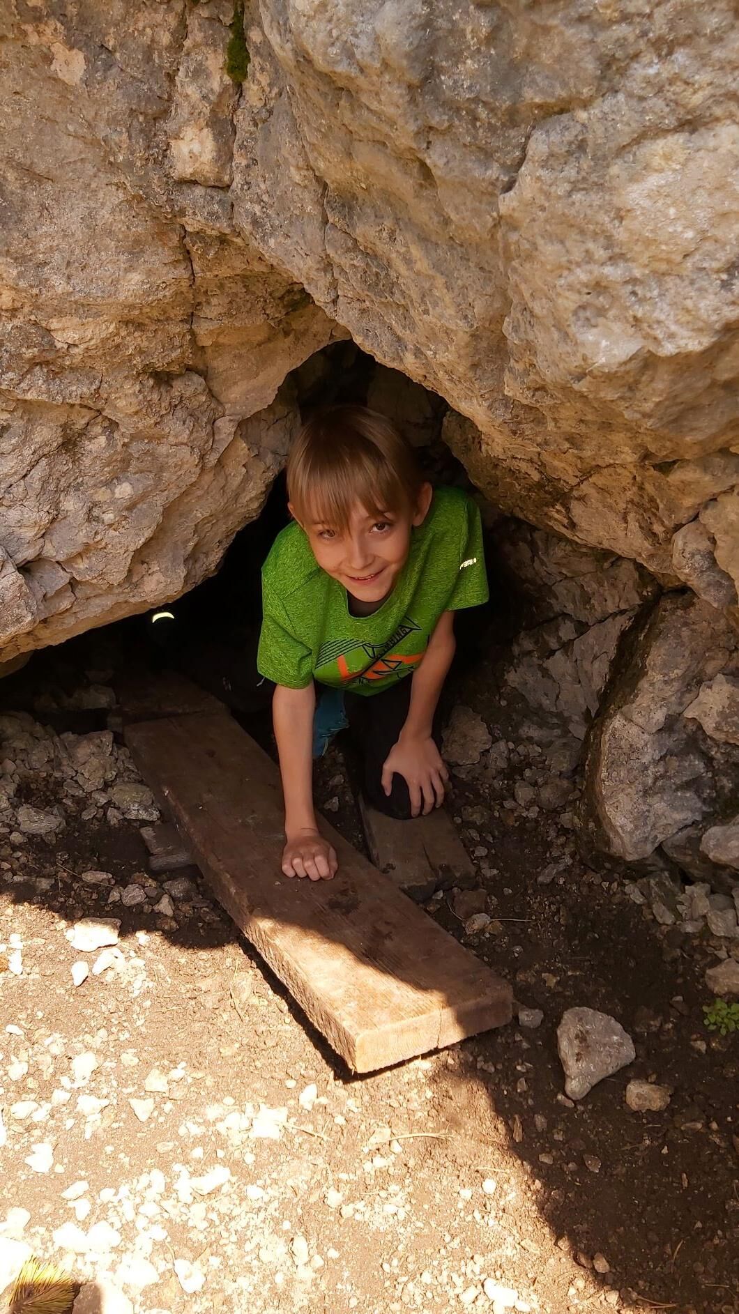
Back on path no. 17, after a short time you reach the second cave, the “Wetterloch”. Caution: the cave entrance is often wet and slippery, inside the cave already after a few steps there is a steeply sloping drop. You should not enter the cave with little snow. There is a risk of falling.
Back to the hotel, a proper snack and a cool drink are well deserved!
Ano
Ano
Sturdy footwear and possibly hiking poles are advantageous.
There are no catering options up to the summit. Make sure you have enough water and food before you start hiking.
Bring cash, especially at huts on the Schafberg no cards are accepted!
Leash requirement for dogs.
Arrival via the A1 West motorway - Thalgau exit
Follow the state road towards Hof near Salzburg. At the first roundabout take the second exit onto the Wolfgangsee federal road (B 158) and follow it via Fuschl am See and St. Gilgen, to Strobl and further to St. Wolfgang.
By bus
St. Wolfgang is very well accessible by the public lines of the Salzburg Transport Association from Salzburg.
Salzburg Transport Association, line 150 to Strobl and line 546 to St. Wolfgang
By train
Information about train connections can be found at www.oebb.at or www.bahn.de
By plane
The Salzburg Airport W.A. Mozart is located in the immediate vicinity of the city of Salzburg. Bus lines 2 or 27 take you to the main train station, where you can change to bus no. 150.
As part of the package booking, the parking lot is included for you. For the route from St. Wolfgang the public parking lot P7 in St. Wolfgang at the valley station of the Schafbergbahn is suitable.
Information about the 4 Mountains 3 Lakes package per email incoming@fuschlseeregion.com +43 6226 8384
Even in summer it can be windy and quite cool in the evening, a warm jacket is highly recommended. Just in case – a swimsuit
 Získejte přehled Vždy živě na místě s více než 9 500 webkamerami. bergfex Jako uživatel Pro si nyní můžete zobrazit odpovídající webové kamery pro mnoho prohlídek v aplikaci prohlídky z. Můžete si tak přímo prohlédnout aktuální podmínky.
 Aktivity na trase

St. Wolfgang im Salzkammergut, Oberösterreich/Österreich
15.08.2026 – TuristikaSt. Wolfgang im Salzkammergut, Oberösterreich/Österreich
12.08.2026 – TuristikaSpinnerin, Salzburg/Österreich
11.07.2026 – TuristikaSt. Wolfgang im Salzkammergut, Oberösterreich/Österreich
04.06.2026 – Turistika
Sankt Gilgen, Salzburg/Österreich
30.05.2026 – Turistika
St. Wolfgang im Salzkammergut, Oberösterreich/Österreich
25.05.2026 – Horská turistika
St. Wolfgang im Salzkammergut, Oberösterreich/Österreich
09.05.2026 – TuristikaSt. Wolfgang im Salzkammergut, Oberösterreich/Österreich
05.04.2026 – TuristikaSankt Gilgen, Salzburg/Österreich
31.10.2025 – Turistika
St. Wolfgang im Salzkammergut, Oberösterreich/Österreich
03.10.2025 – Horská turistikaSt. Wolfgang im Salzkammergut, Oberösterreich/Österreich
21.09.2025 – Turistika
Sankt Gilgen, Salzburg/Österreich
20.09.2025 – Turistika
St. Wolfgang, Oberösterreich/Österreich
07.09.2025 – Turistika
Sankt Wolfgang im Salzkammergut Wandern
12.08.2025 – Horská turistika
Sankt Gilgen, Salzburg/Österreich 19/08
09.08.2025 – Horská turistika
St. Wolfgang im Salzkammergut, Oberösterreich/Österreich
01.08.2025 – Turistika
Oblíbené prohlídky v okolí
- 4.8
Fuschl: Ruine Wartenfels - Schober - Frauenkopf
středníTuristika 7.62 km - 4.5
Weißenbach am Attersee - Schoberstein
středníTuristika 3.31 km - 4.2
Pillstein Panorama Rundweg
světloTuristika 3.40 km - 4.7
Pleasure hike over the Falkenstein
středníTuristika 9.81 km - 3.7
Mondsee: Rund um den Mondsee
světloJízda na kole 26.3 km - 3.6
Unterach am Attersee: Hochplettspitz
Turistika 4.25 km - 4.6
The Plombergstein: Adventure and summit panorama
světloTuristika 4.12 km - 4.1
Illinger Alm-Runde
středníTuristika 9.89 km - 4.4
Abtenau: Postalm circular route 3 - Wiesleralm and Postalm hut
středníTuristika 9.09 km - 4.8
Salzkammergut: Die Drachenwand
heavyVia ferrata 4.32 km

Pěší turistika a stopování


Nenechte si ujít nabídky a inspiraci pro vaši příští dovolenou
Vaše e-mailová adresa byl přidán do poštovního seznamu.





