







Freinberg: Passaublick-Severinsweg
INTERESTING POINTS ON THE WAY
Cultural life:
Nature(space) & Movement:
Golf course "Above...INTERESTING POINTS ON THE WAY
Cultural life:
Nature(space) & Movement:
Golf course "Above the roofs of Passau"SPIRITUAL HIKING ON THE DONAUSTEIG:
Saint SEVERIN, Severinus of Noricum (around 410/482), he was a monastery founder and statesman during the declining Roman rule in Bavaria and later Austria. He was known in the Danube region between Passau and Carnuntum (in the Vienna Basin) as a helper, protector and spiritual caregiver – who gave people support and confidence. Patron saint of Bavaria, prisoners, vintners and linen weavers.
His message for today: Helpfulness – where do I myself need help and to whom do I entrust myself, who needs my support and how can I be helpful.
“Step by step into new territory, taking new paths”
On the Severinsweg I perceive my body in its walking movement:
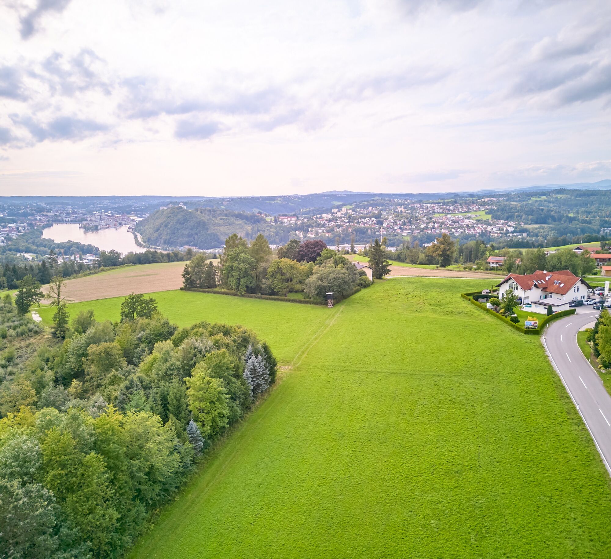
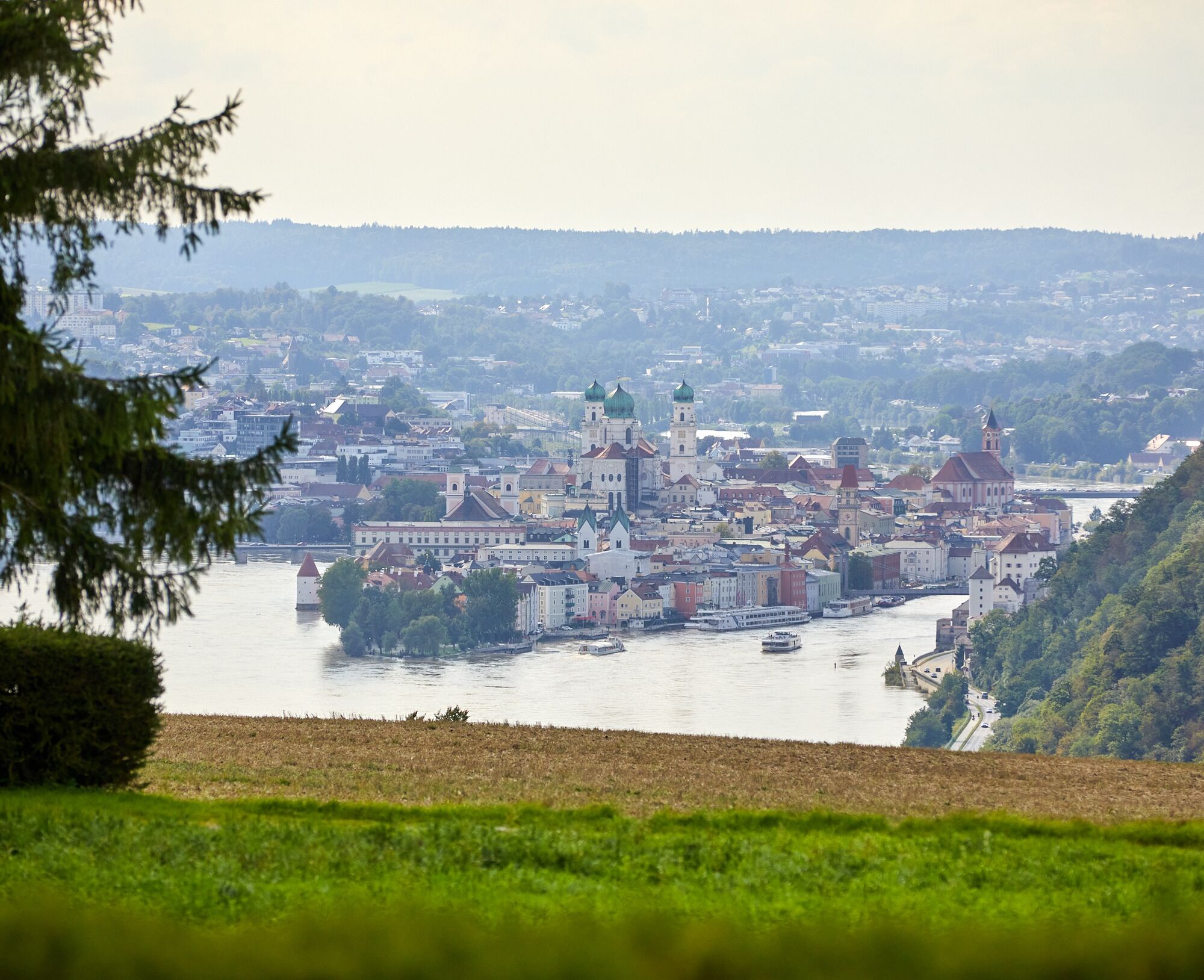

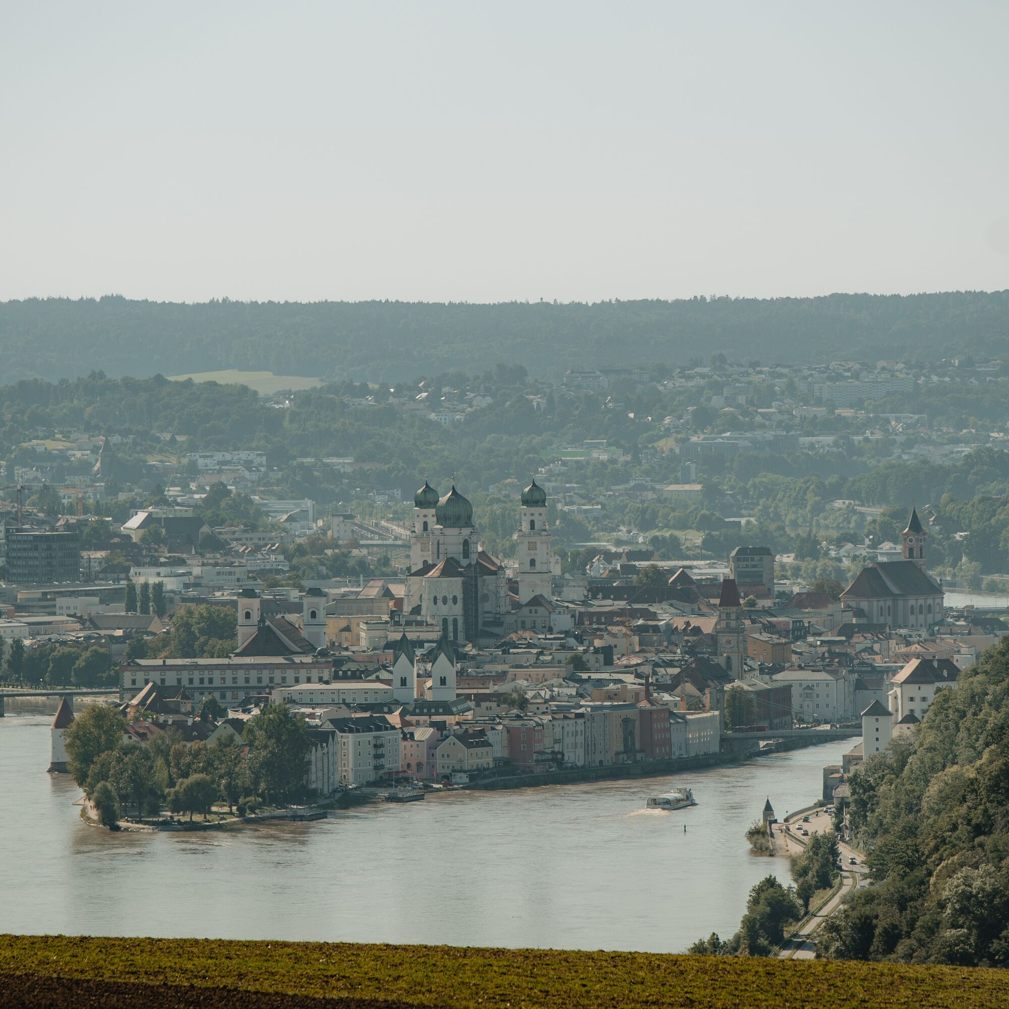
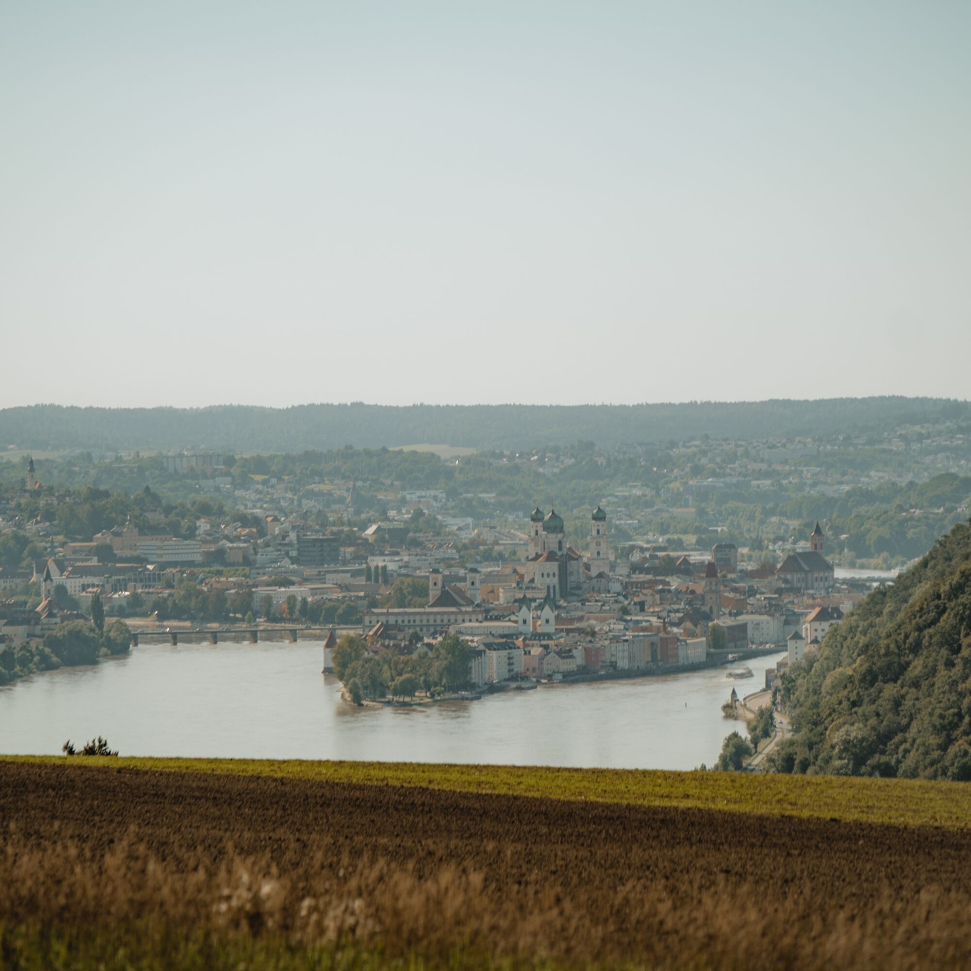

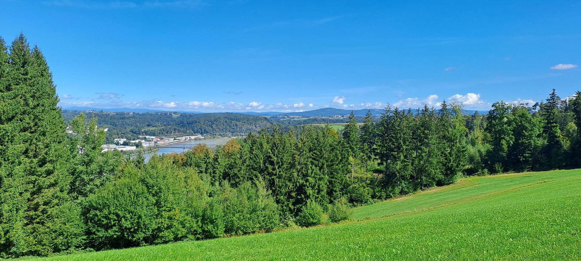
Starting from the village square, we follow the road east and after about 400 m turn right to the sports field. The path now leads into the Edtwald forest and turns south. You leave the forest and walk on the road towards Hareth and turn right at Wirth z’Hareth. Then you descend on streets, field and meadow paths towards Haibach. At the bottom, turn right into Altmanngasse (entry to the Donausteig), after a short rest at the border chapel “Maria im Walde” climb up the Miesberg and reach the height of Unterfreinberg.
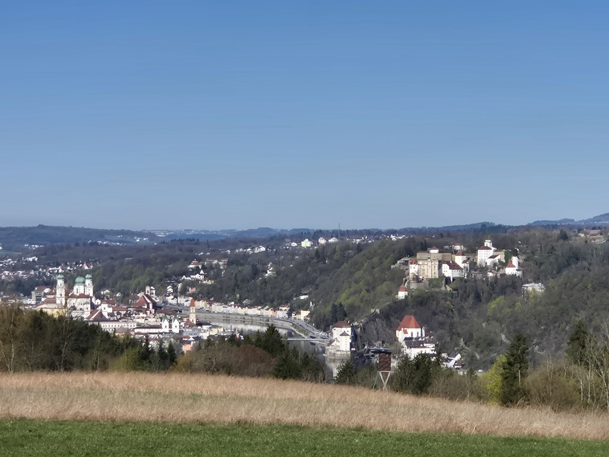
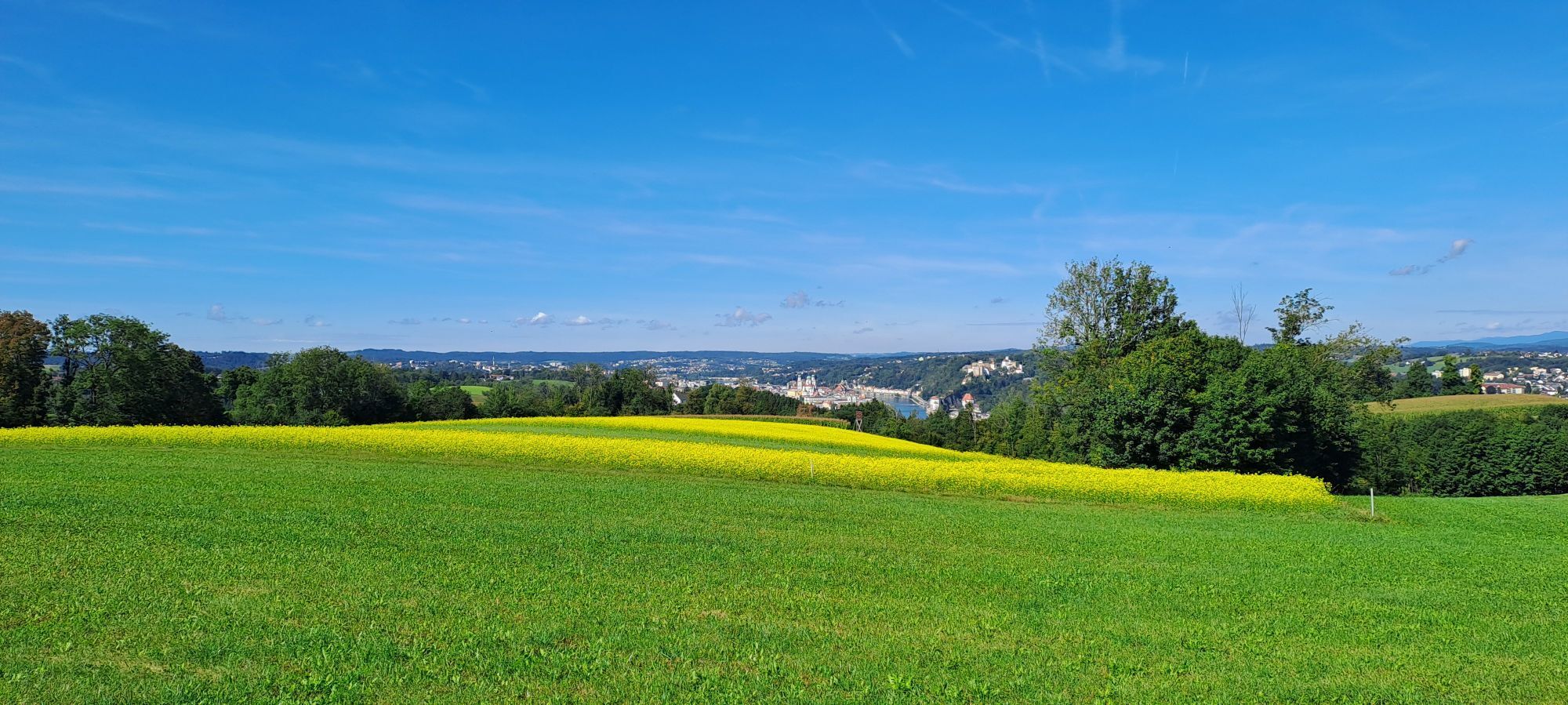
Enjoy the view of Passau. Across the street you return to Freinberg. At the village square next to the town hall, there is also a Donausteig info board that describes the community of Freinberg, the Donausteig and our Passaublick-Severinsweg.
Hiking backpack (including rain cover), sturdy footwear
How to get to the Danube Region Upper Austria?
The fast way to the destination – by train, bus, car, ship or airplane.
Rail connection: Passau station, approx. 4 km away
Village square
Freinberg Tourism Association
Freinberg 4
4785 Freinberg
Tel.: 0043(0)7713/8102-0
tourismus@freinberg.at
www.freinberg.at
Experience Tower - Landmark for Freinberg
Due to its height (15.50 m), unique architecture and visibility of the tower from afar, the Experience Tower serves as a landmark for Freinberg. "Culture in the Tower": The unique gallery rooms open new opportunities for artists to present their works.
The Experience Tower offers professionally equipped rooms spread over 3 floors as a seminar venue for companies and organizations, but also space for small groups and clubs. Sporting offers: Due to the world’s highest tee integrated into a golf course located on a building at a height of 15.5 m and the possibility of climbing, the Experience Tower becomes a sporting attraction with a supraregional character. Furthermore, tennis, squash, badminton, fitness and sauna facilities are already available on the site.


Oblíbené prohlídky v okolí
-
4.8
Cyklotúra Schärding-Pasov-Schärding | Příroda a kultura na Innské cyklostezce
světloJízda na kole 32.4 km -
4.6
Ilztalwanderweg
středníTuristika 15.2 km -
4.0
Dunajská cyklocesta, 1. etapa, severní břeh: Passau - Schlögen
světloCyklistika na velkou vzdálenost 40.8 km -
3.9
R1.01 Okruh Inn - Dunaj
středníJízda na kole 43.7 km -
3.8
Esternberg: Kößlbachrunde
světloTuristika 15.8 km -
4.3
Von Hals nach Mausmühle
světloTuristika 12.2 km -
Dunajská cyklostezka, 1. etapa, jižní břeh: Passau - Schlögen
světloCyklistika na velkou vzdálenost 42.1 km -
4.0
Passau: City hiking route from nature to culture
světloTuristika 6.82 km -
Kopfing: Blick ins Land No. 3
středníTuristika 15.5 km -
5.0
Obernzell: Zeller Donausteigrunde
světloTuristika 9.98 km

Pěší turistika a stopování


Nenechte si ujít nabídky a inspiraci pro vaši příští dovolenou
Vaše e-mailová adresa byl přidán do poštovního seznamu.





