







BergeSeen Trail D5: Simonyhütte - Hallstatt

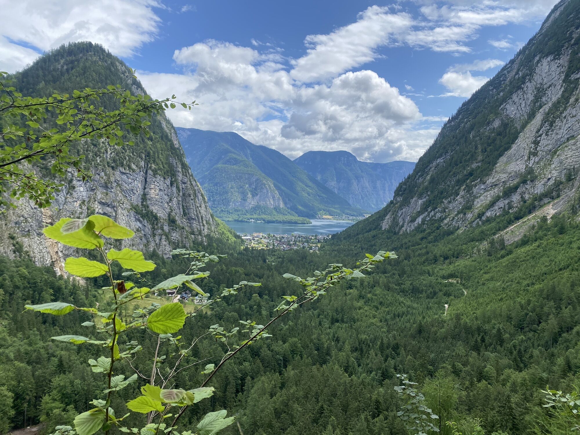
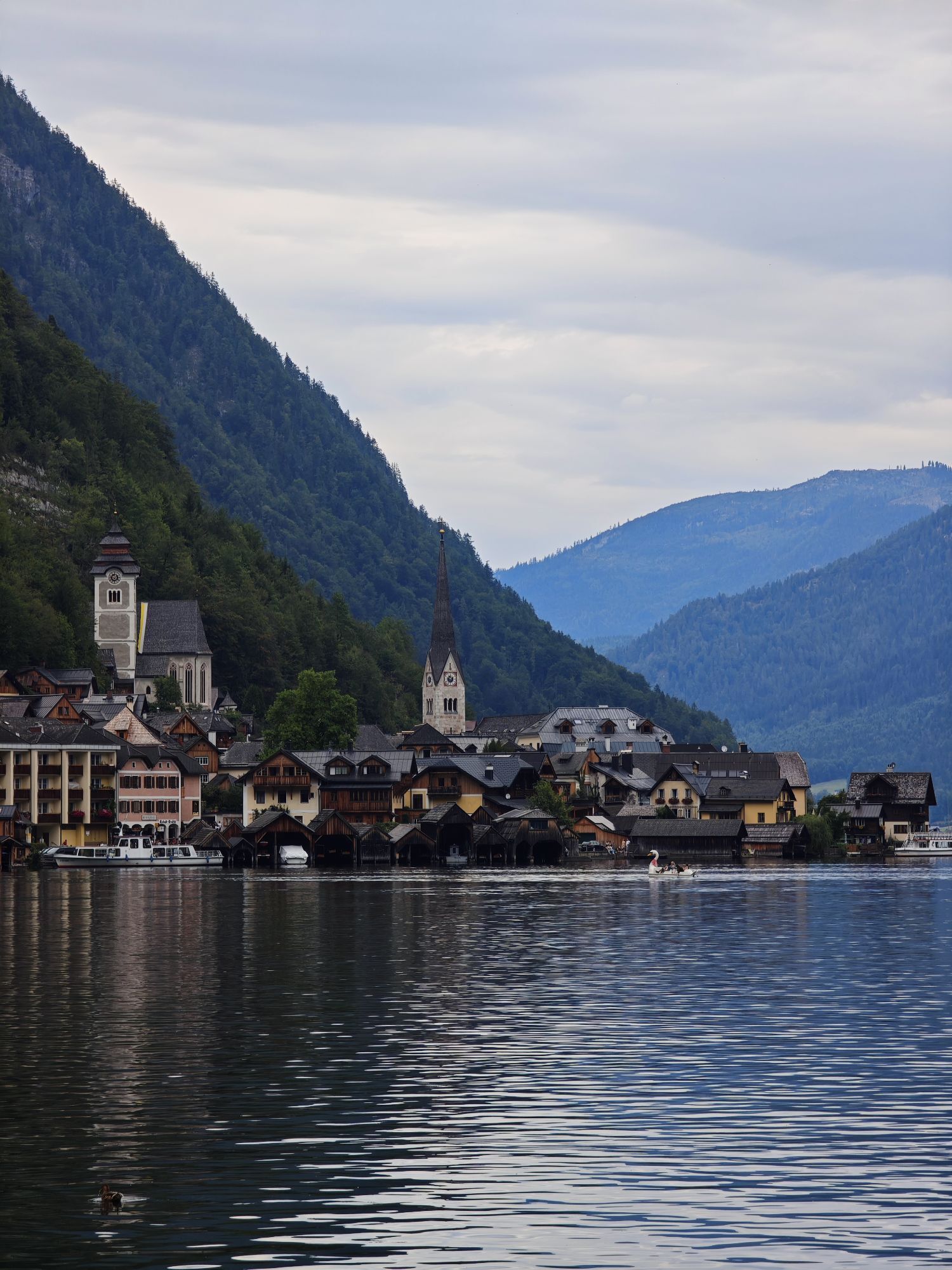
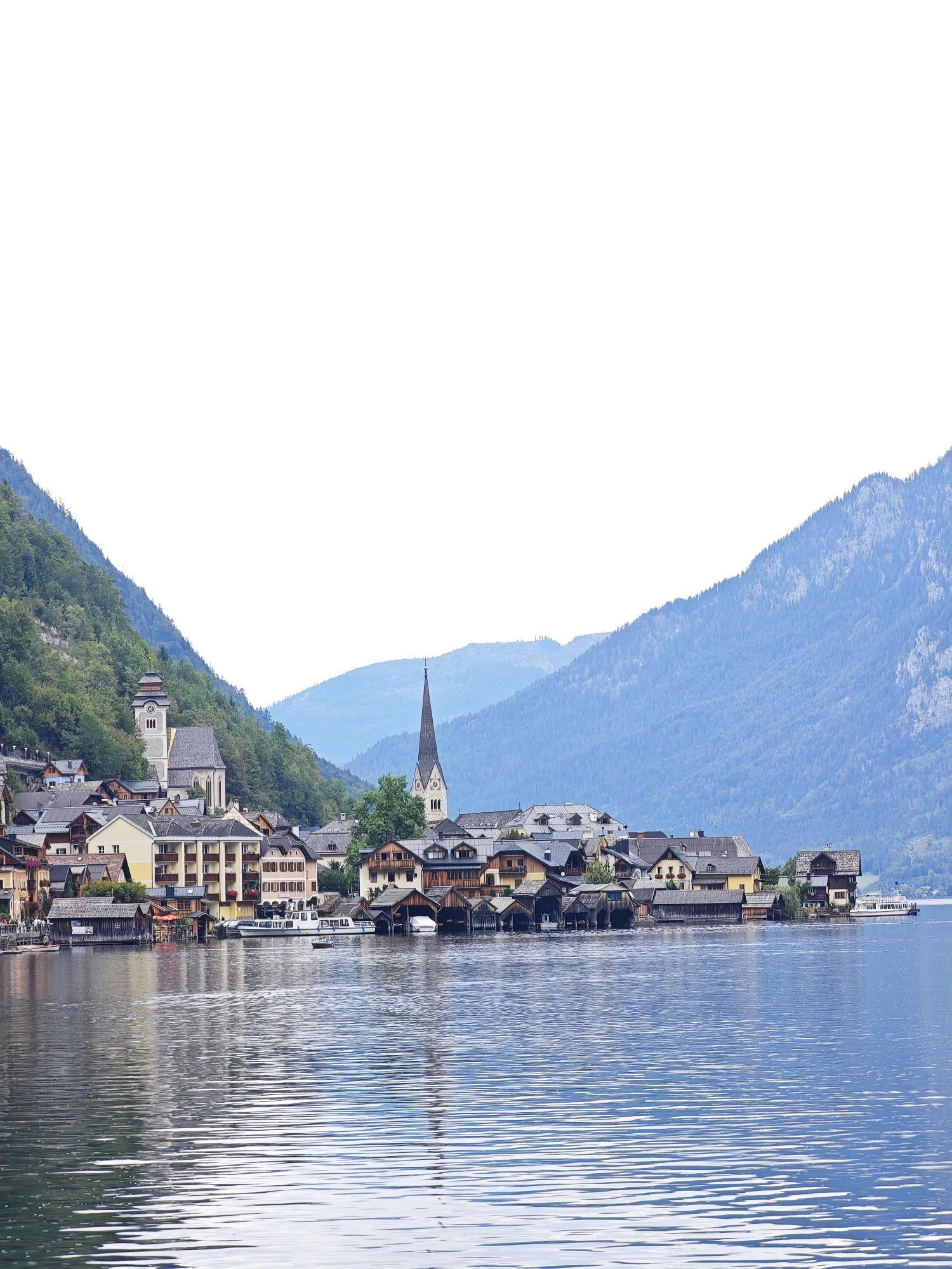

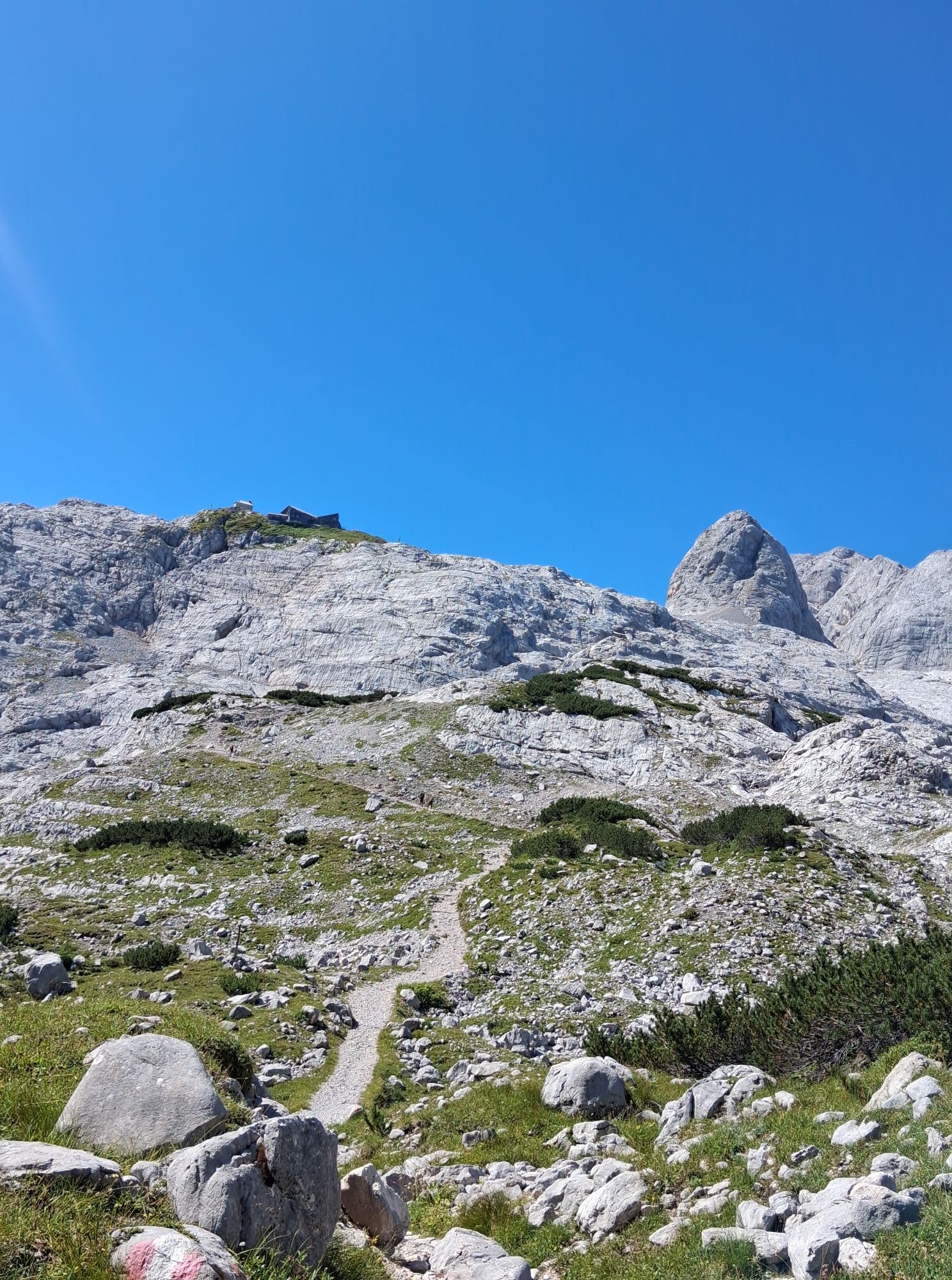
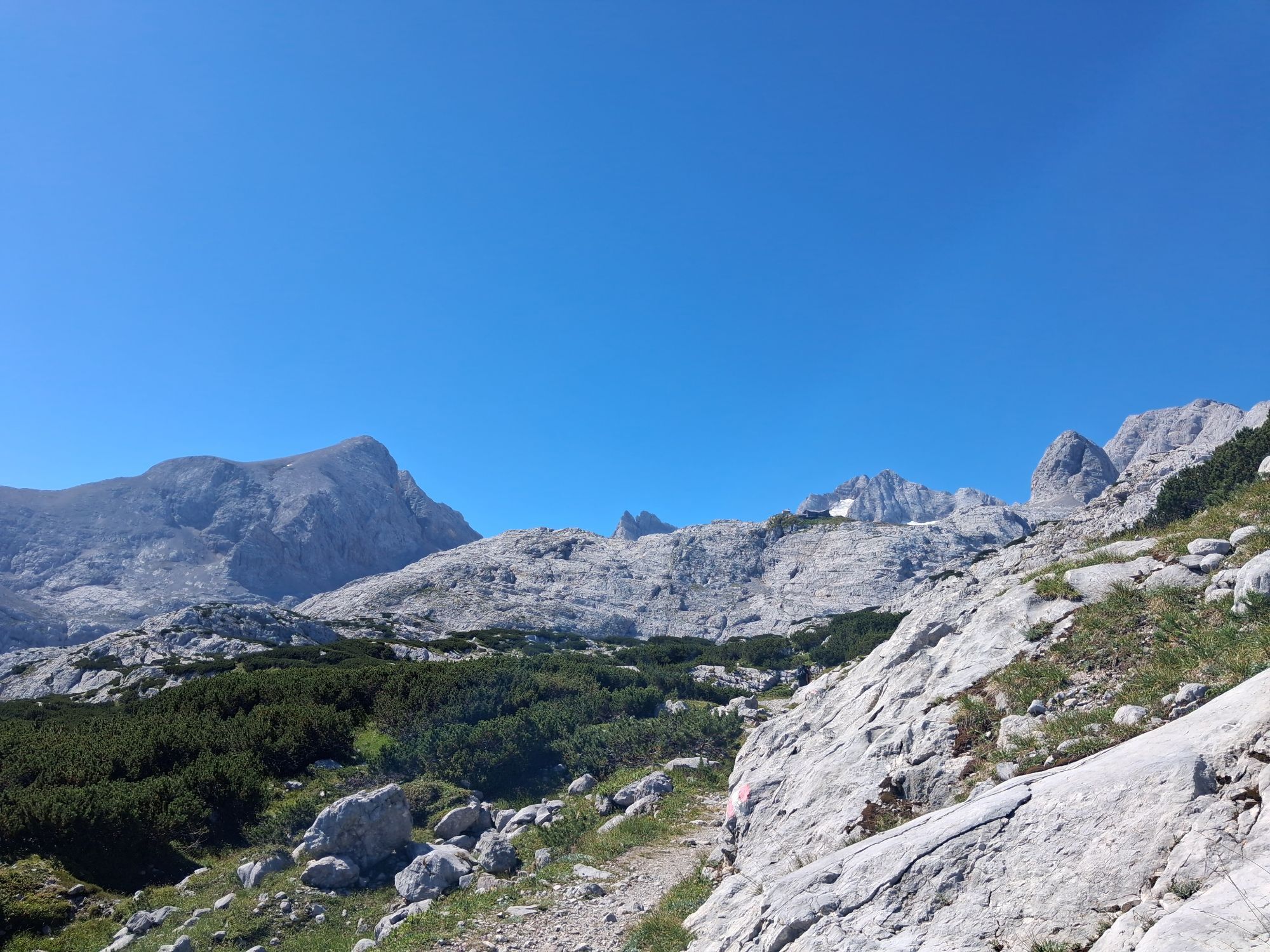
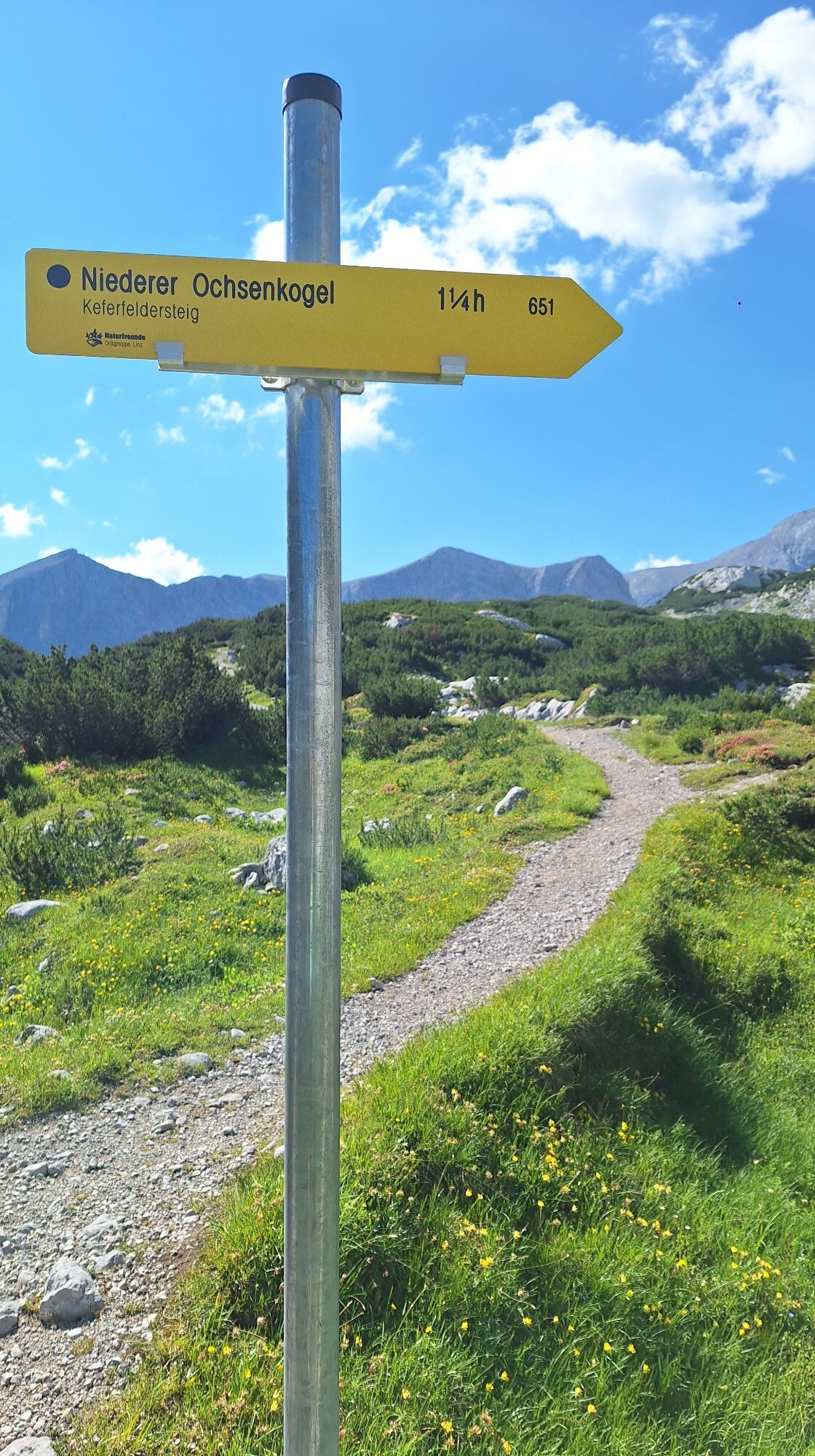
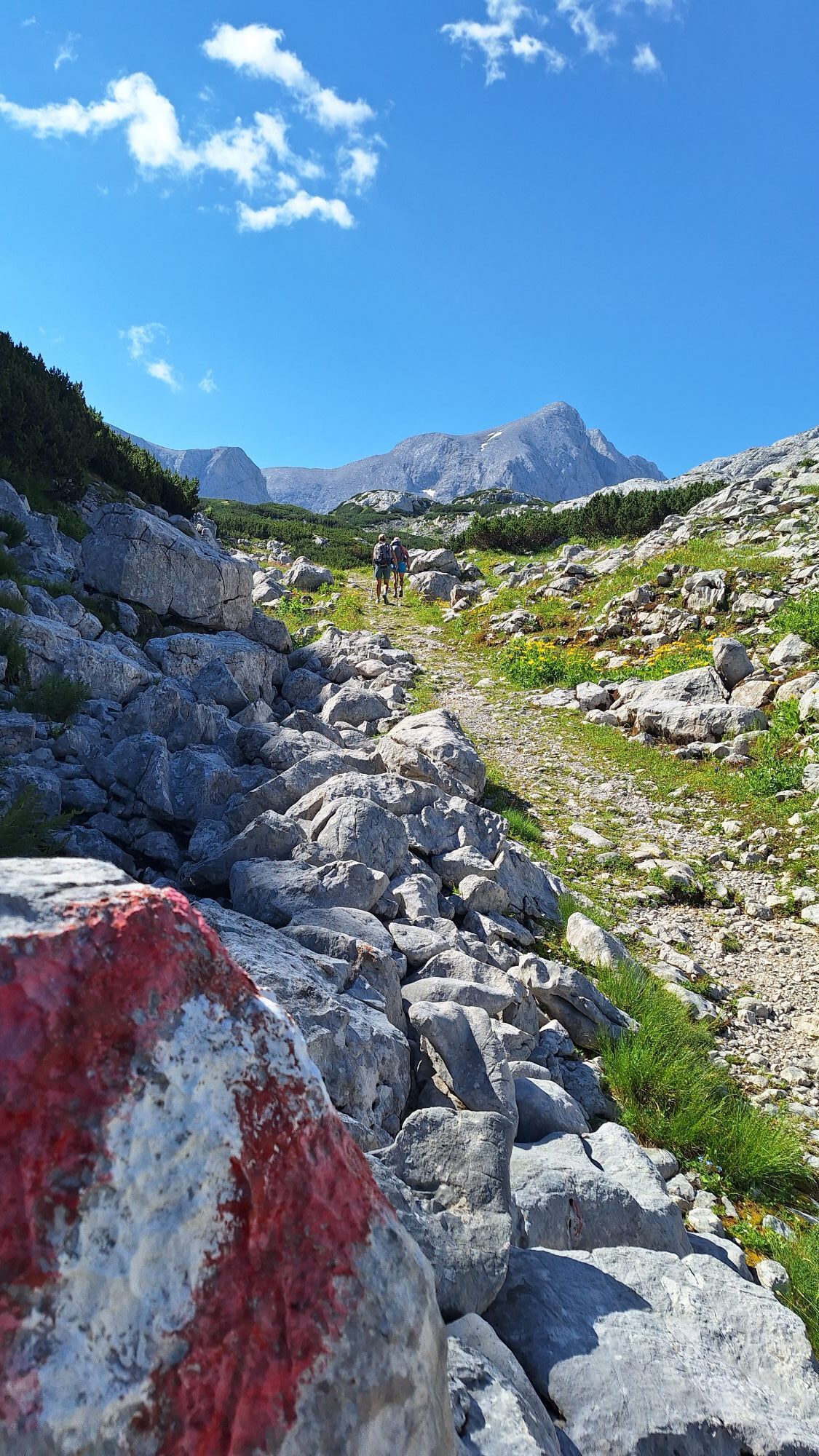
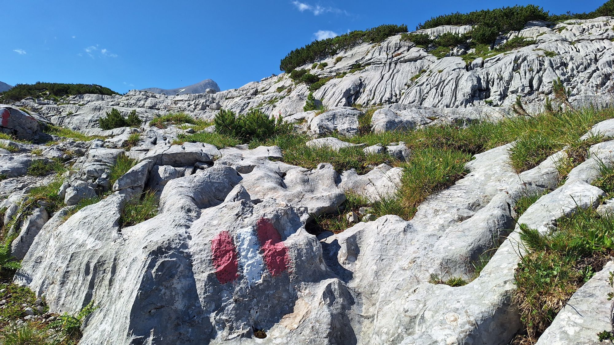
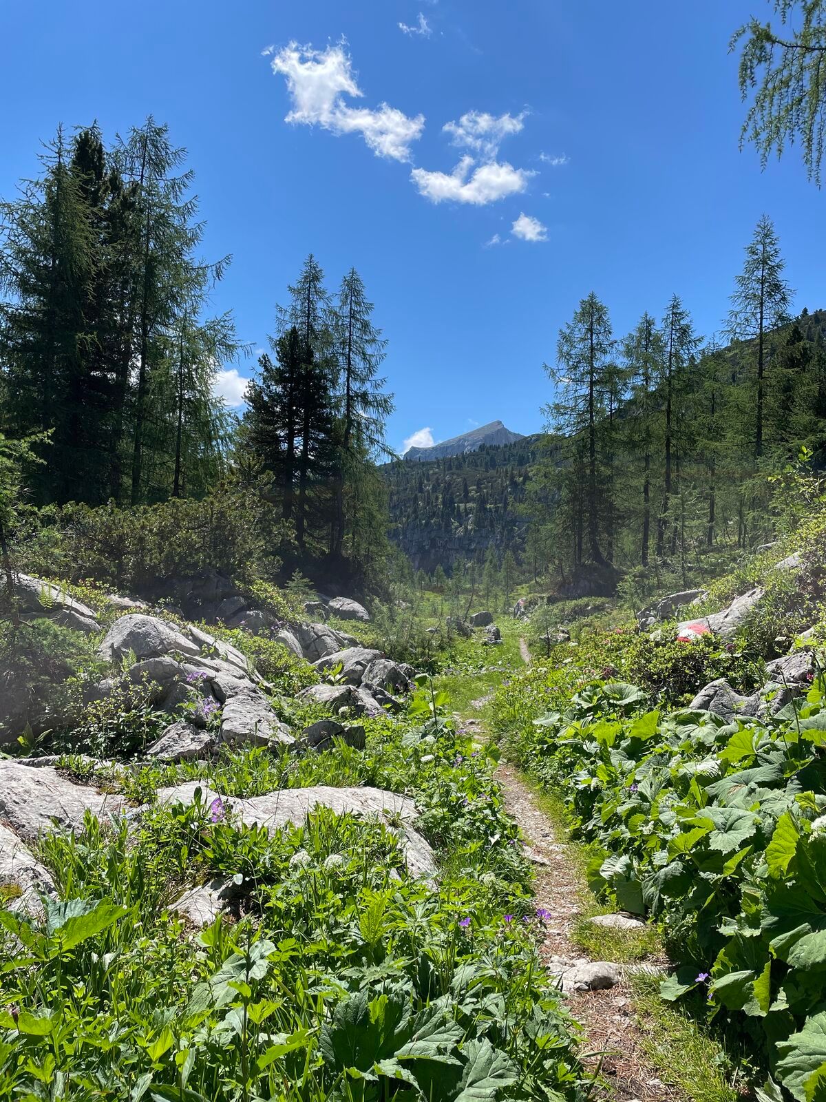
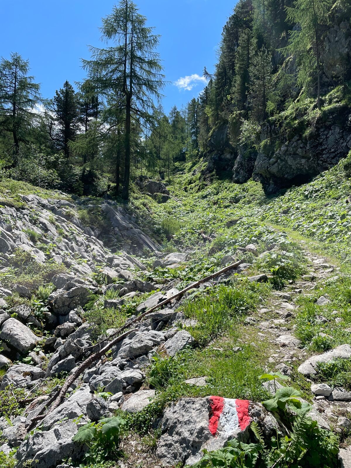
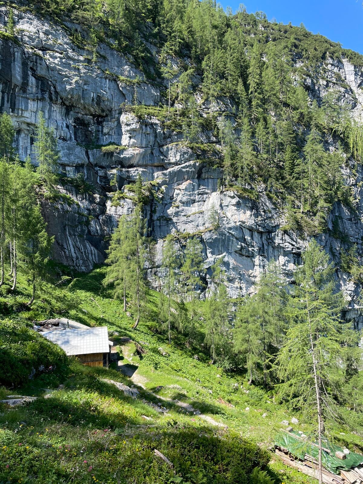
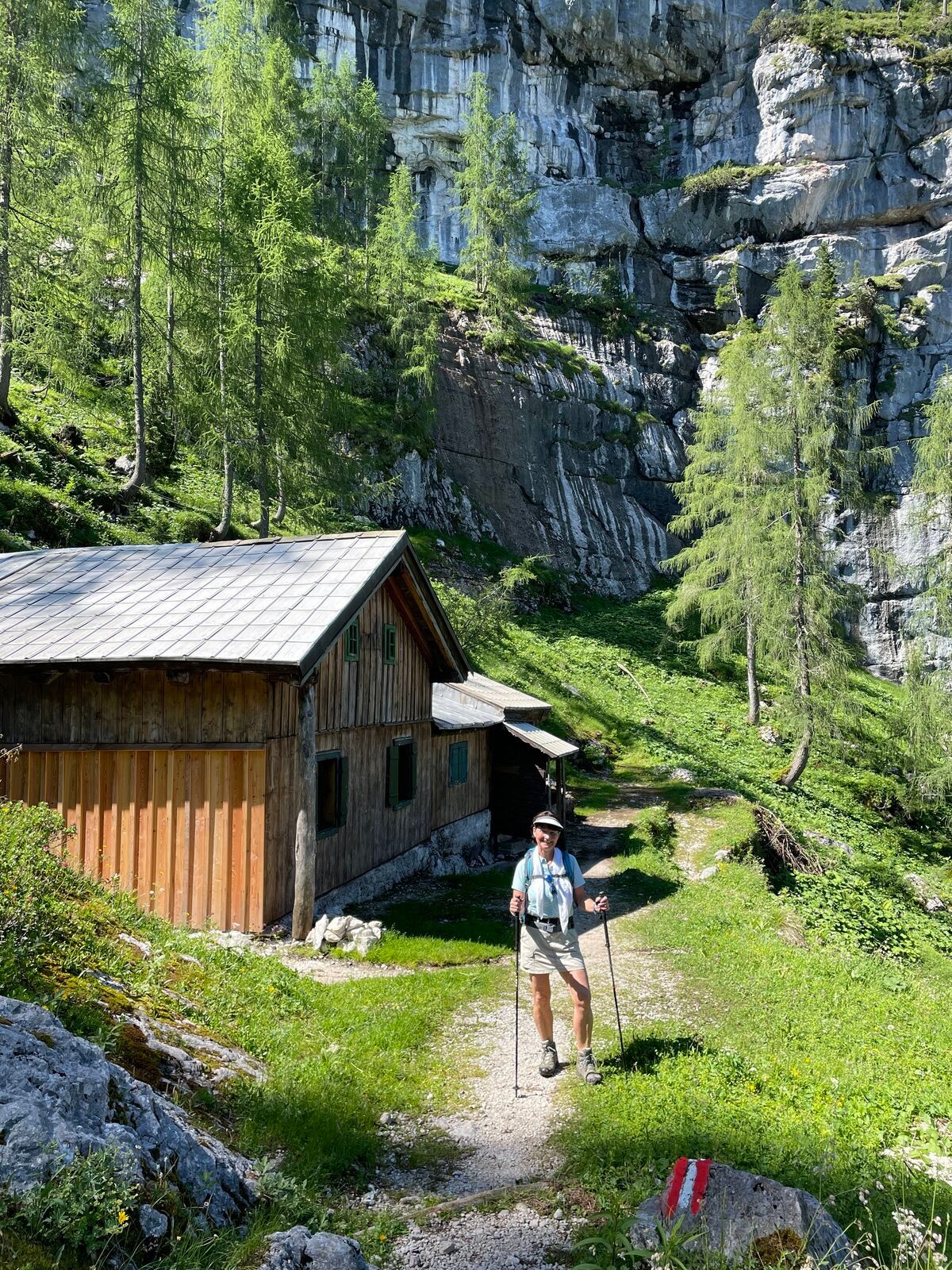
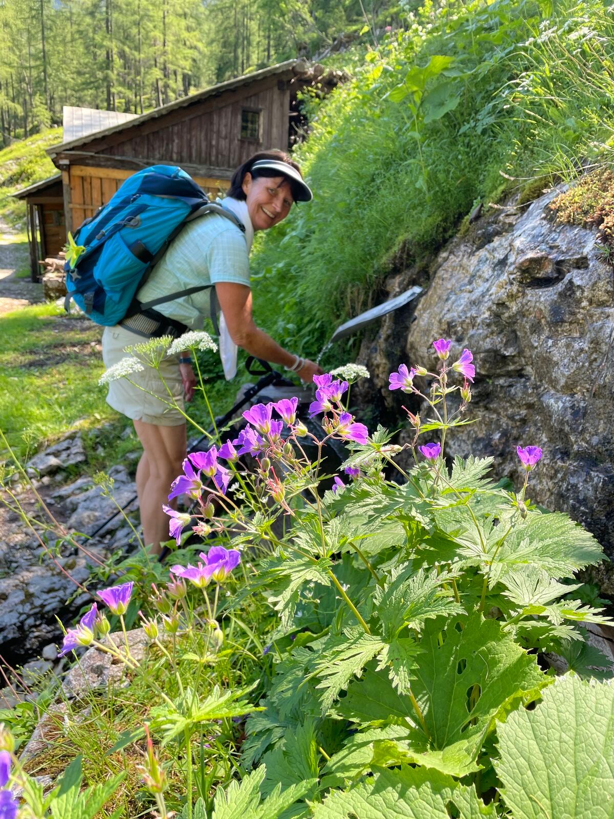
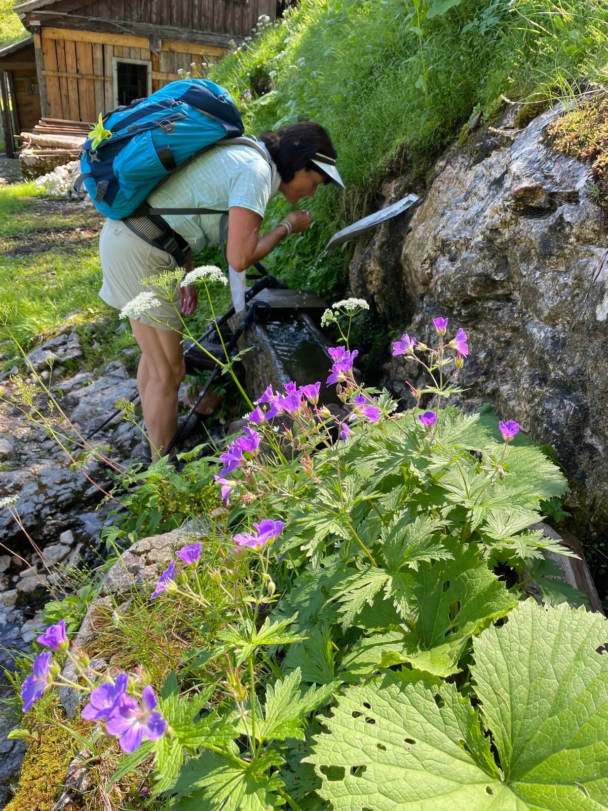
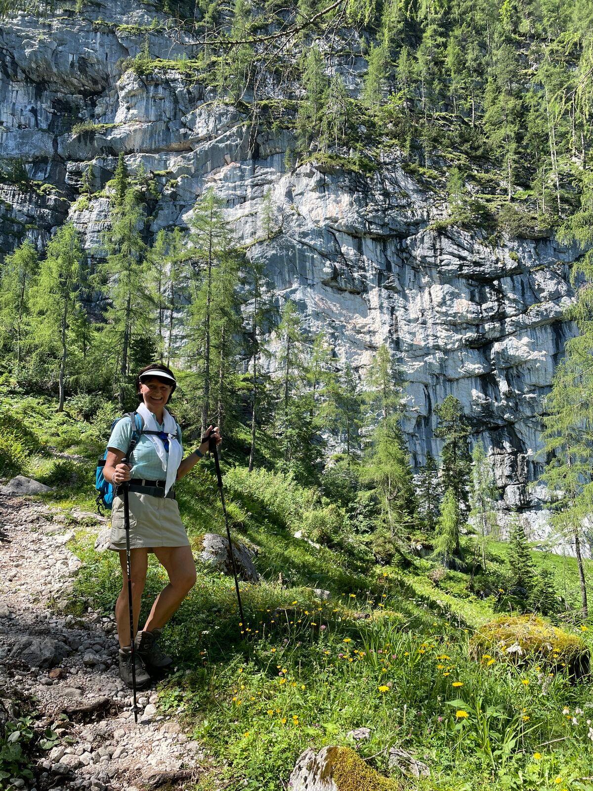
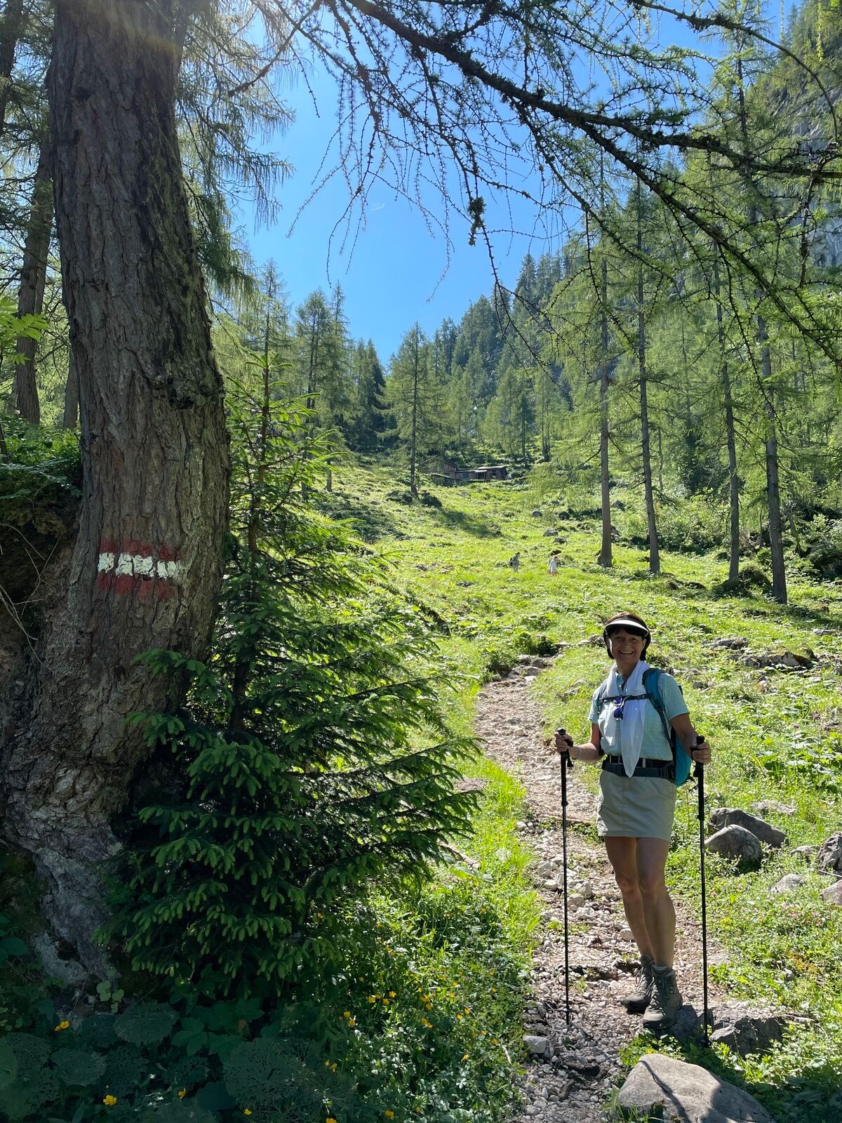
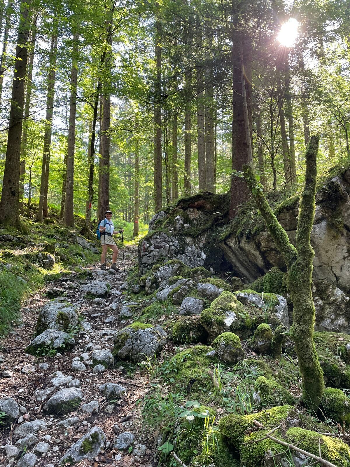
This stage leads you along a historic route down into the valley. It is the so-called Franz-Josefs-Reitsteig, which has led from the deeply cut Echerntal to the Dachstein plateau since the 19th century....
This stage leads you along a historic route down into the valley. It is the so-called Franz-Josefs-Reitsteig, which has led from the deeply cut Echerntal to the Dachstein plateau since the 19th century. The first mountaineers who advanced to the Hallstätter Glacier already followed this ascent line – including Friedrich Simony, the first scientific explorer of the mountain group. Through Adalbert Stifter, who immortalized the “Dachstein Professor” in his novel “Der Nachsommer,” this path even entered world literature.

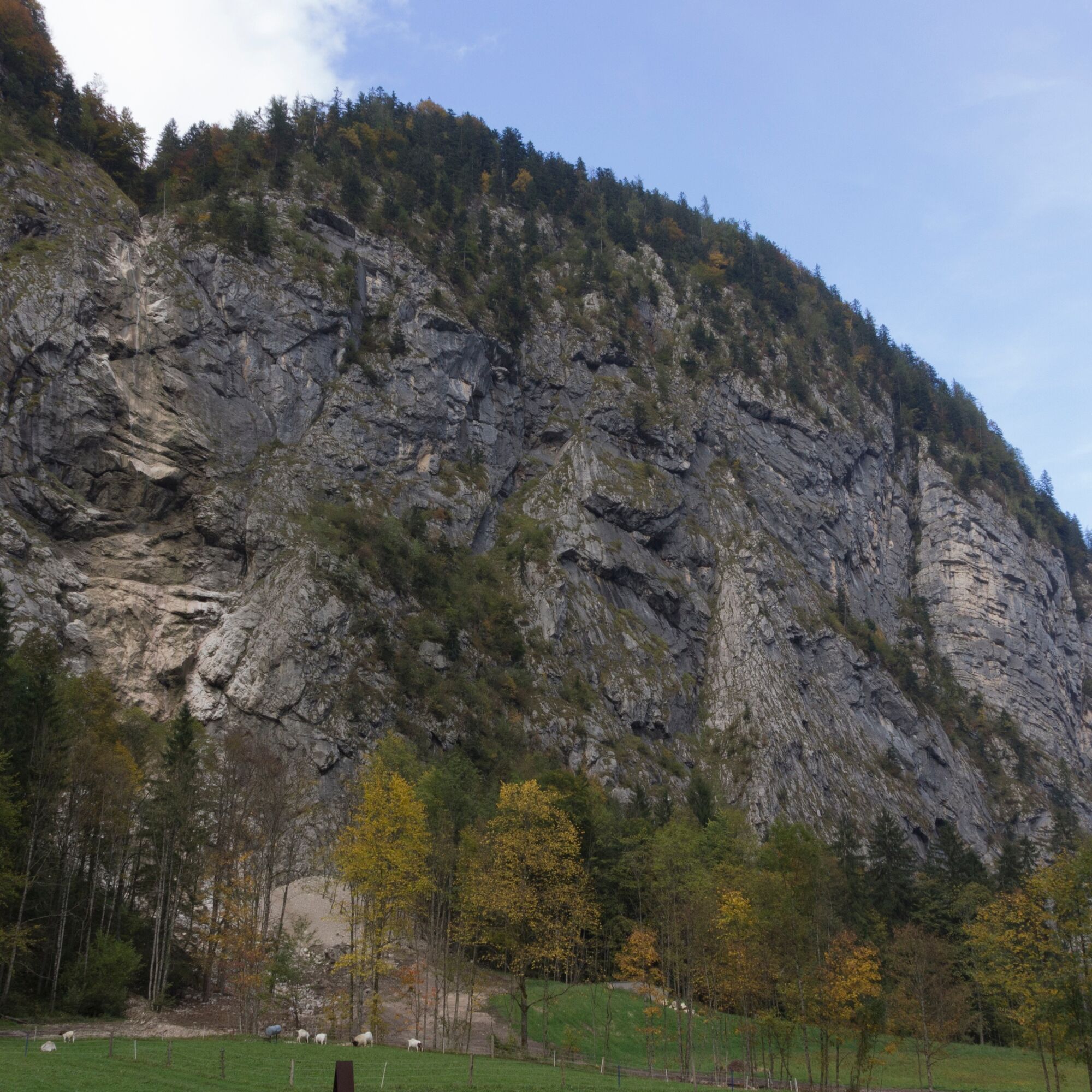

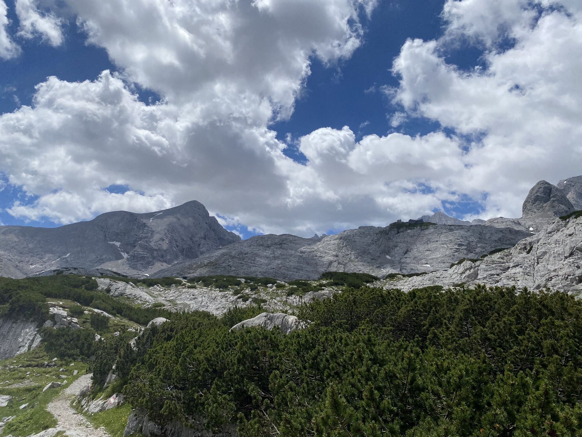
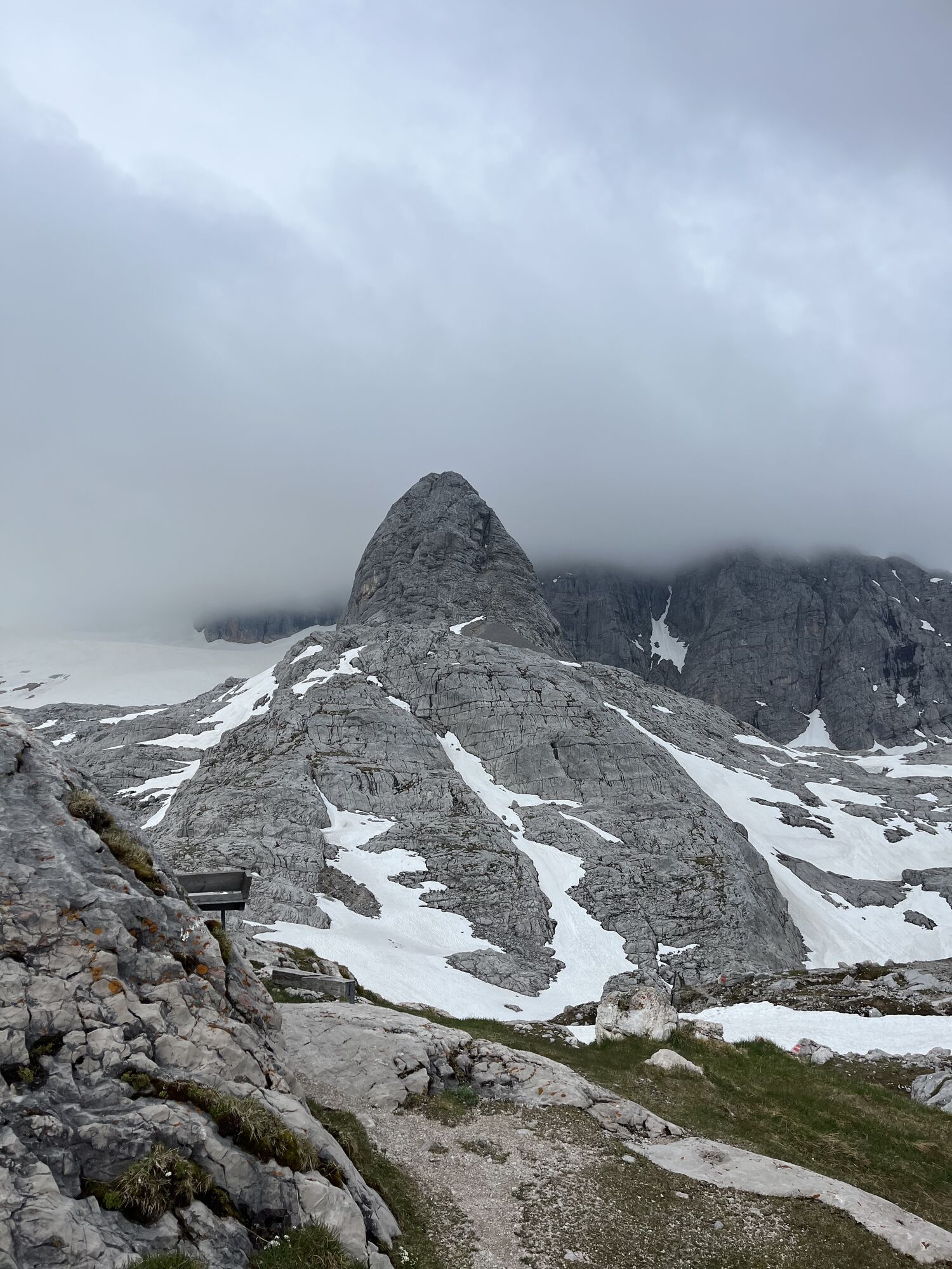
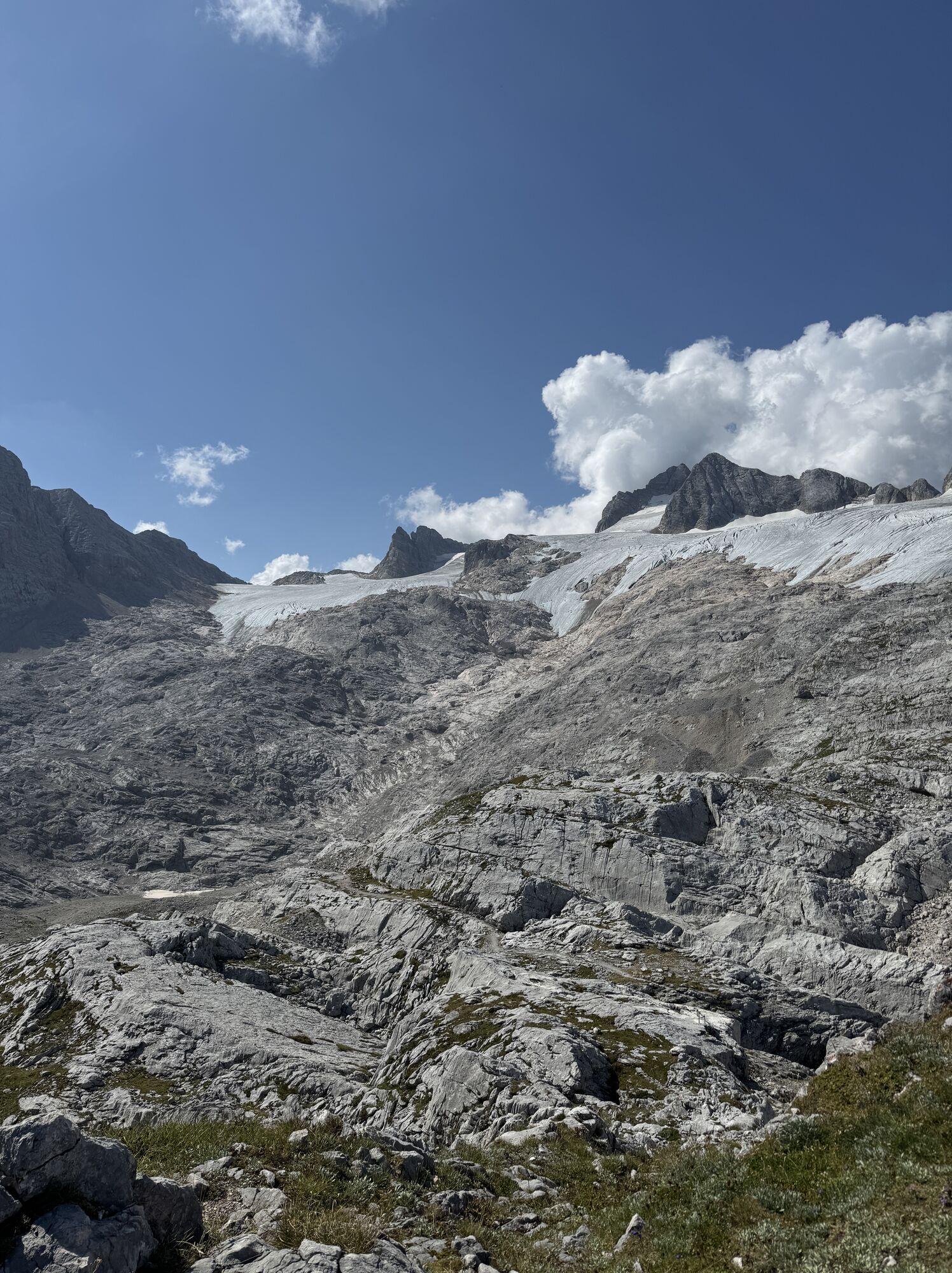
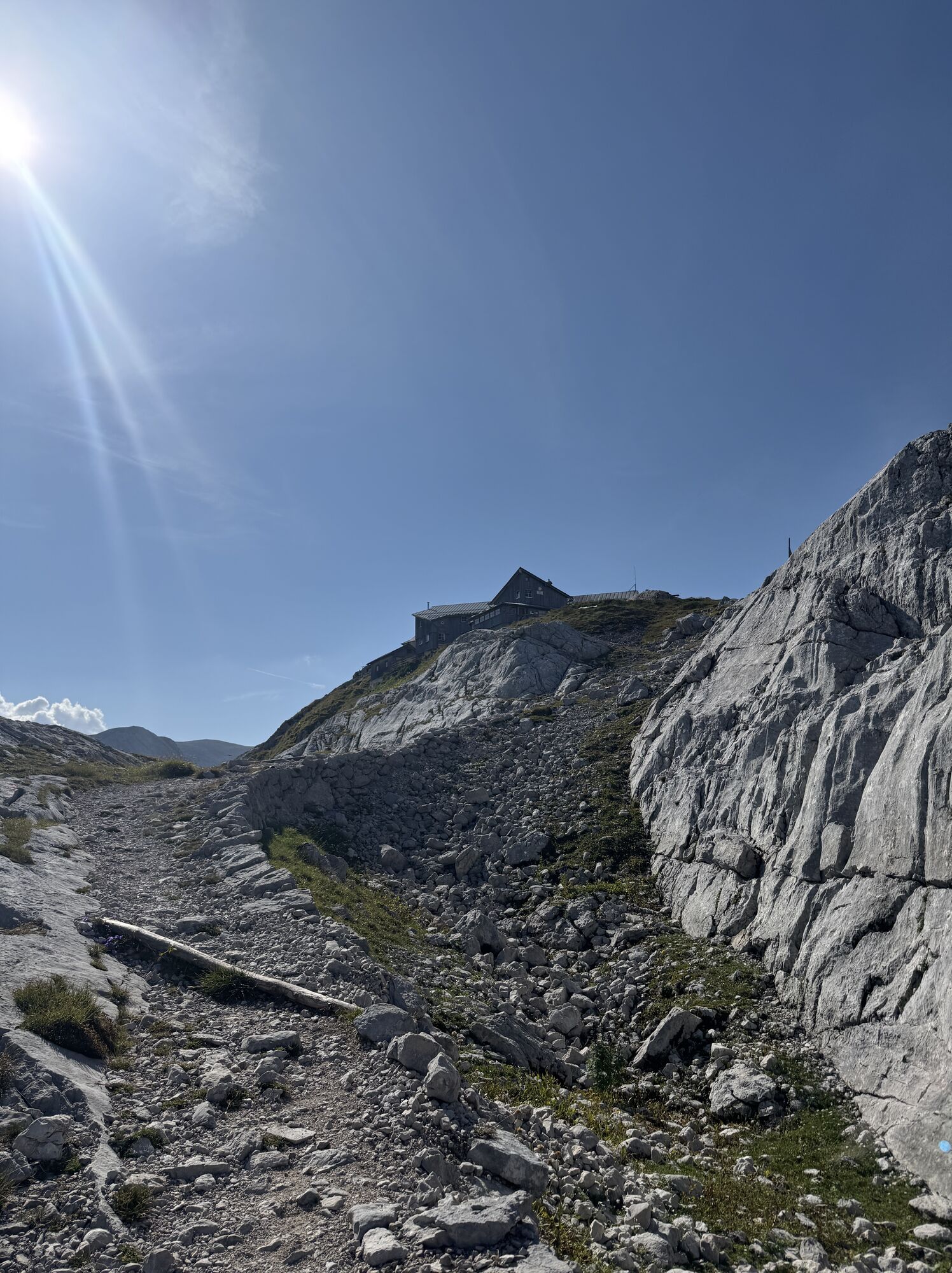
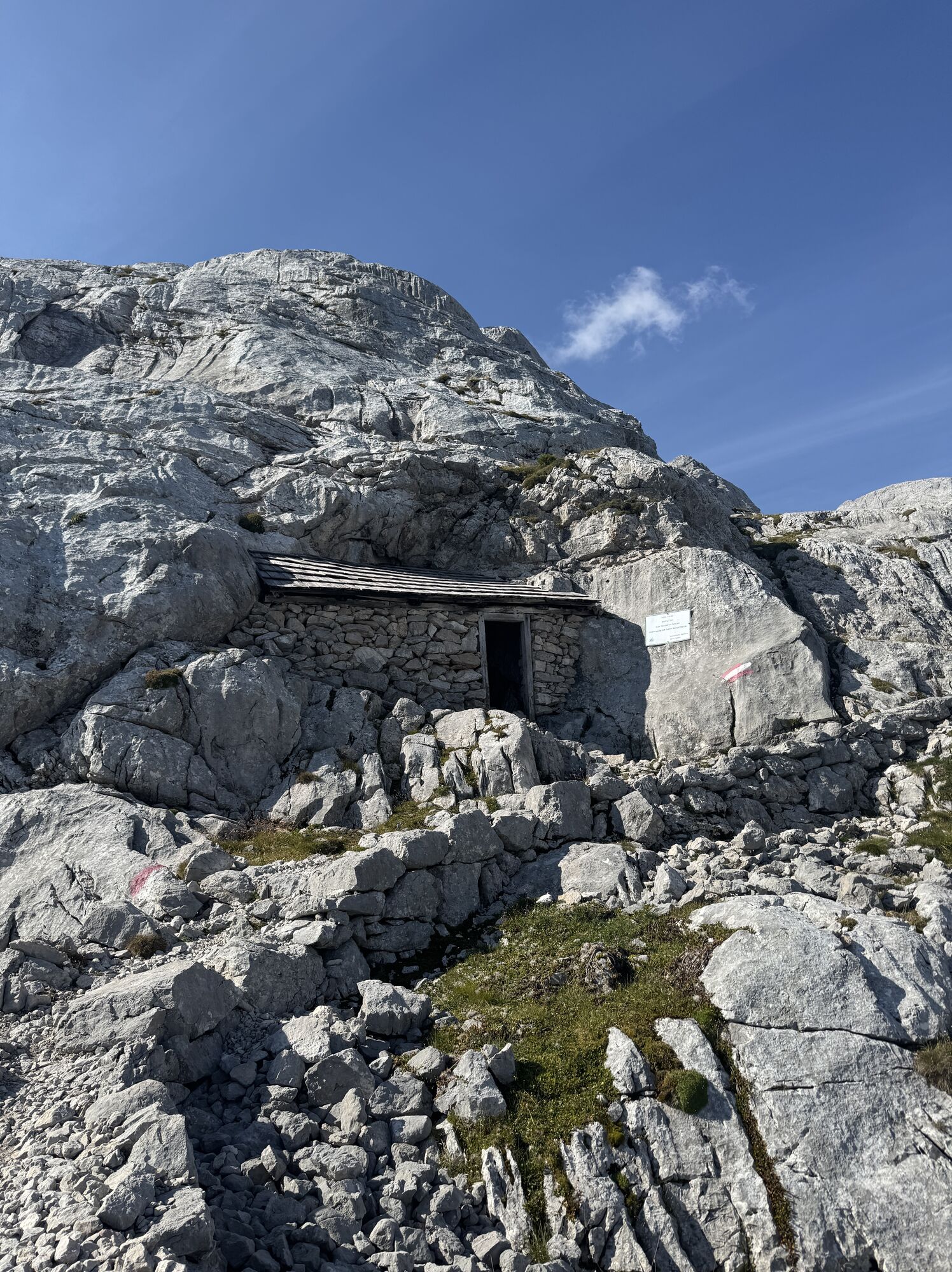
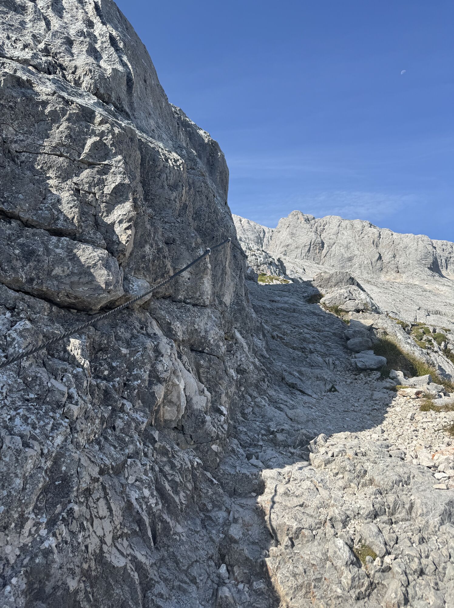
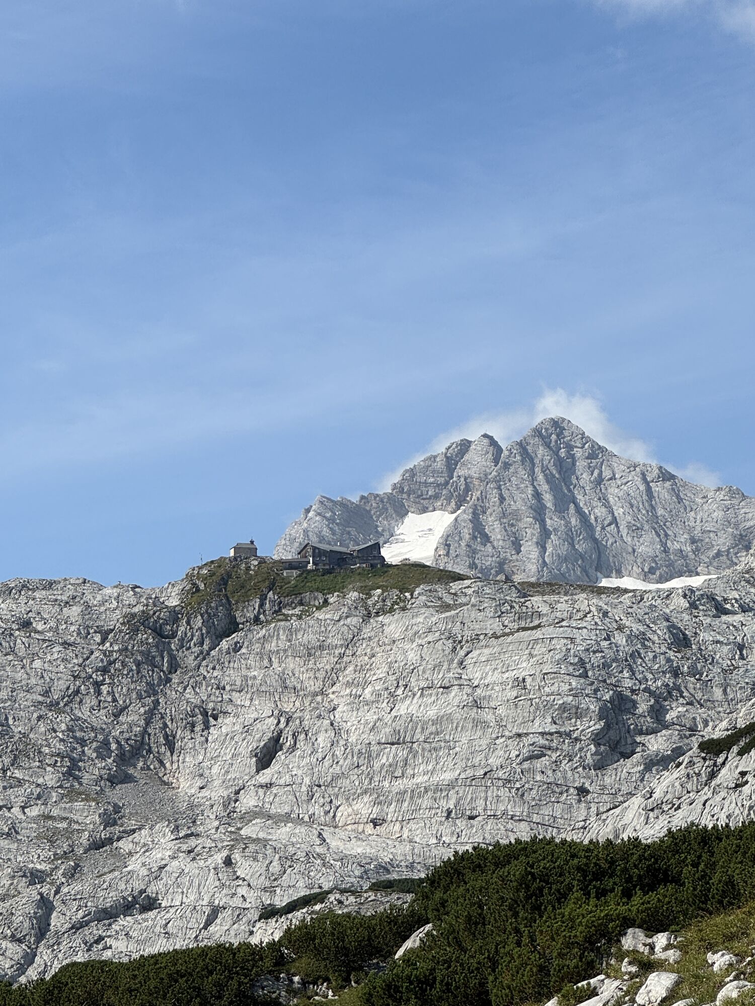
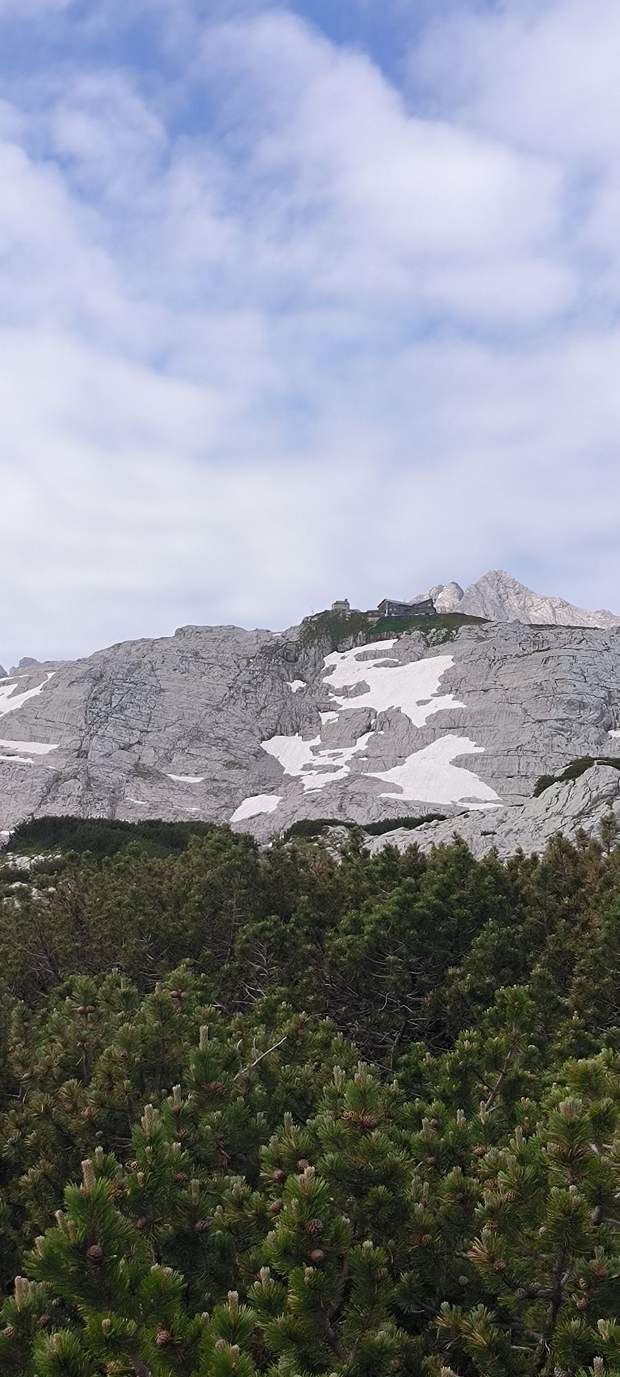
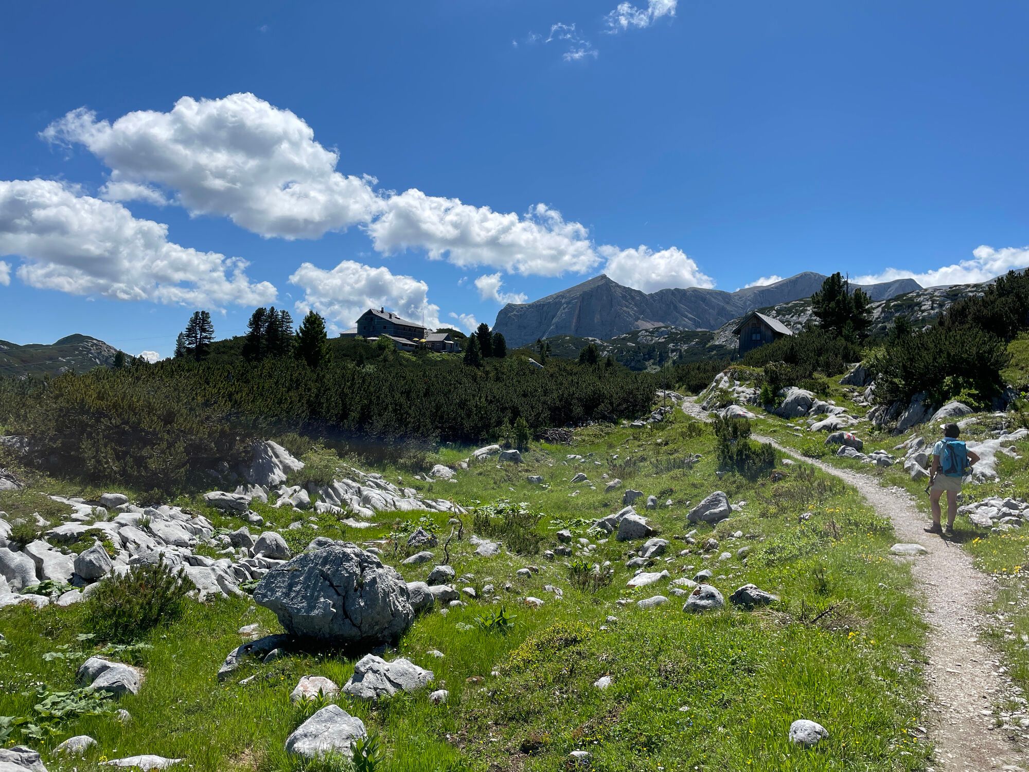
From the Simonyhütte, hike on the well-maintained path no. 650/601 down between the karst rocks of the Taubenriedel into the almost vegetation-free Wildkar. Passing the valley station of the material cableway, you reach on the now wider trail with ups and downs beneath the Wildkarkogel to the junction to Gjaidalm. Continue straight ahead into the green terrain near the Ochsenwieshöhe (1,990 m). Descending via Schmalzlhöhe and through the rock-lined karst gorge of Ochsentrögl, continue to the Wiesberghaus (1,872 m). 1:00 h
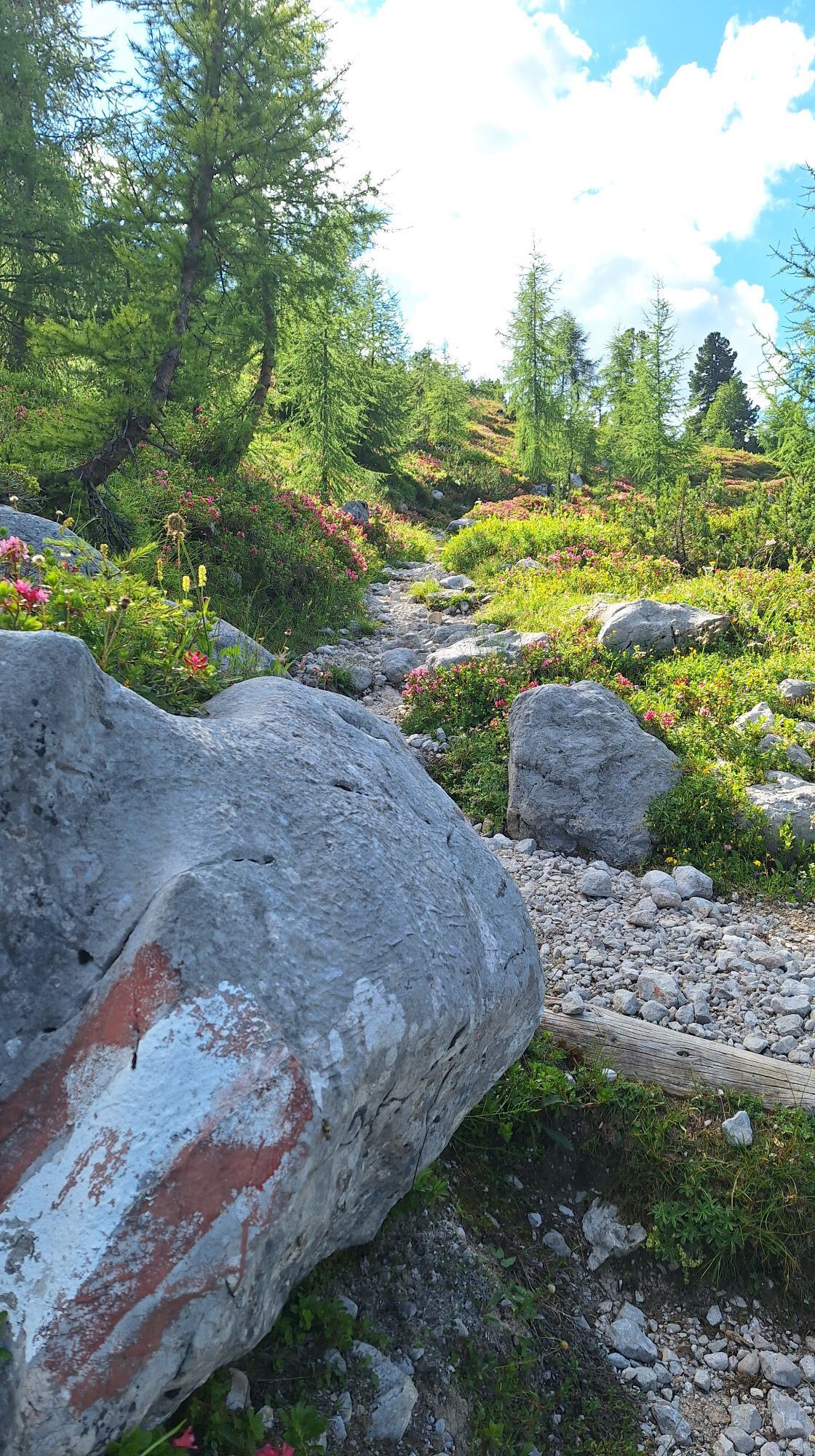
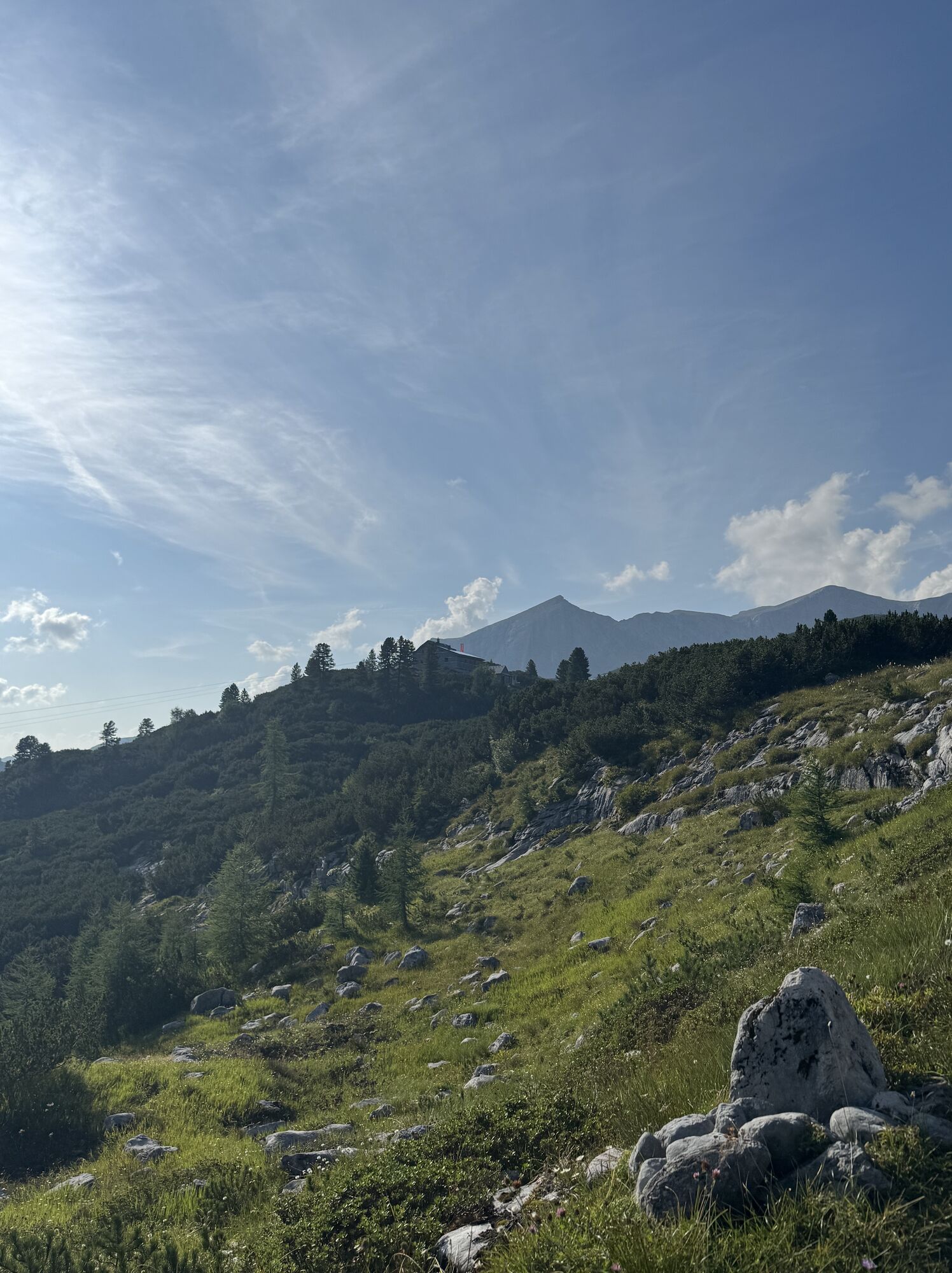
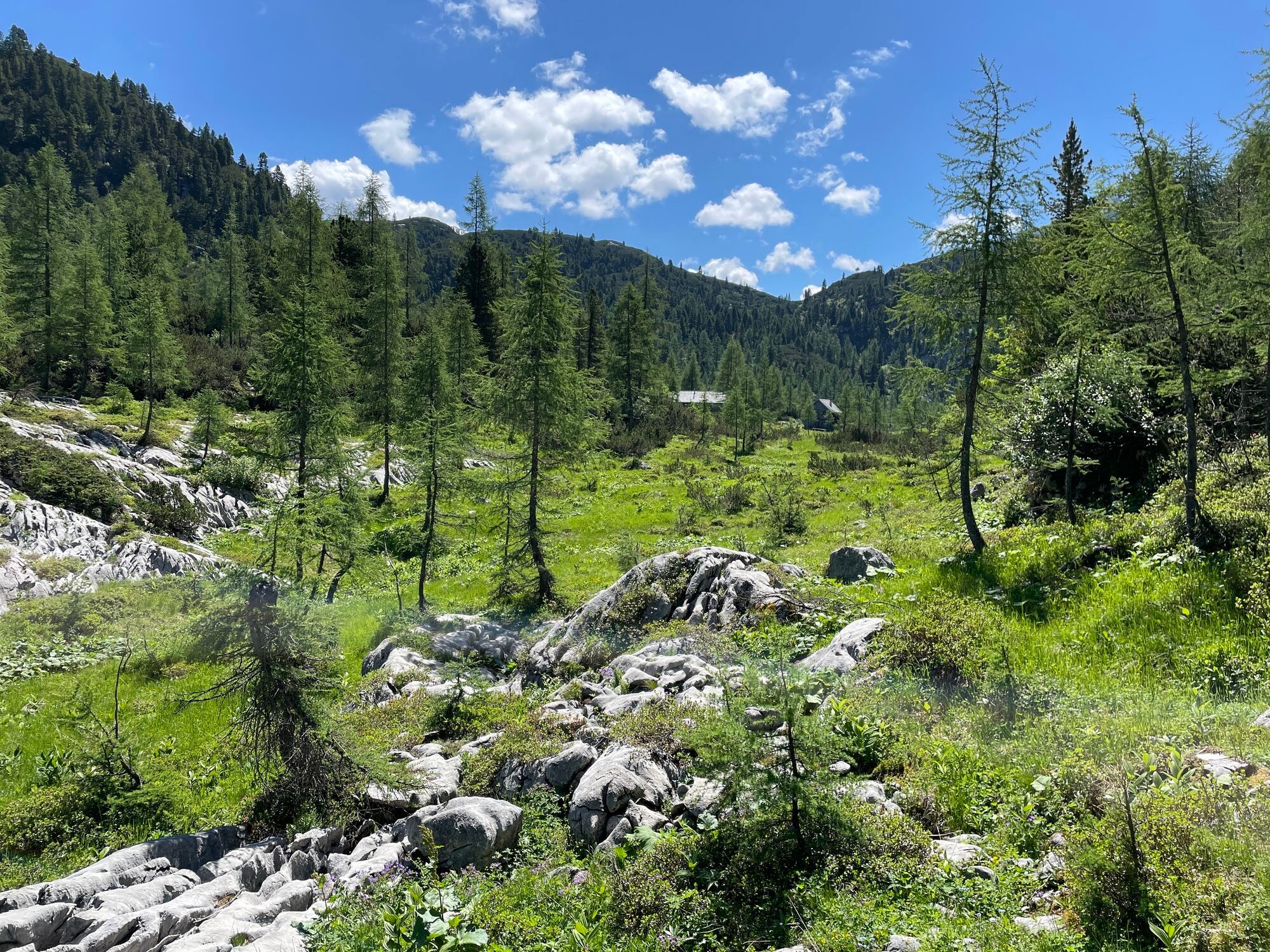
This cozy shelter of the Friends of Nature hut is already at the tree line. You continue – still following marking no. 601 towards “Hallstatt” – now descending between magnificent larch and stone pine stands. Beyond the Boden of Wiesalm, continue through the high valley of Herrengasse to the locked Tiergartenhütte. Then serpentine paths lead steeply down under the Grünkogelwand, Martins, and Tropfwand until you reach a forest road at the “Alten Herd.” The marked path shortcuts the switchbacks to Waldbach (874 m). There, a short detour to the karst spring of the Waldbach source is recommended on the left.
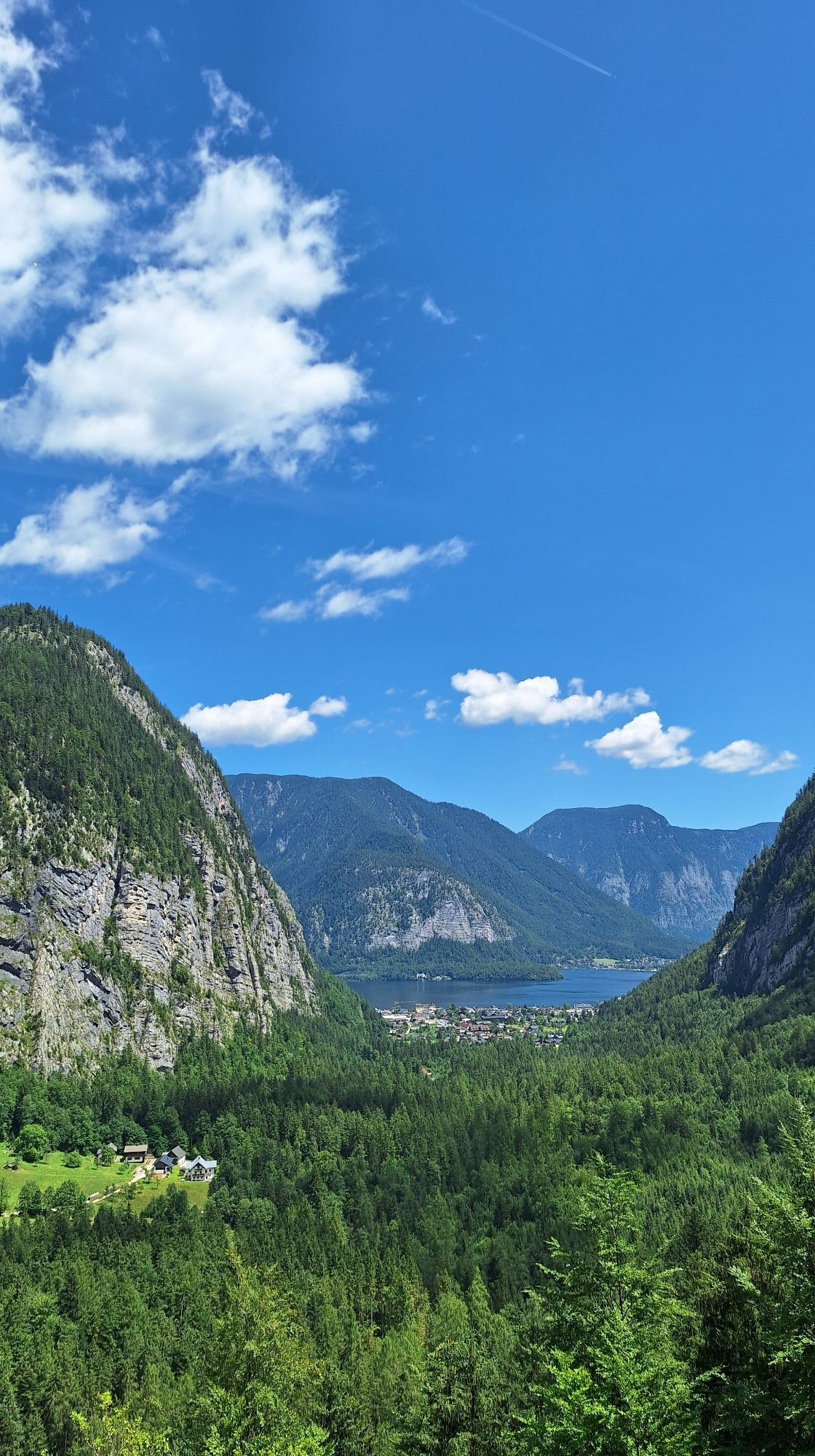
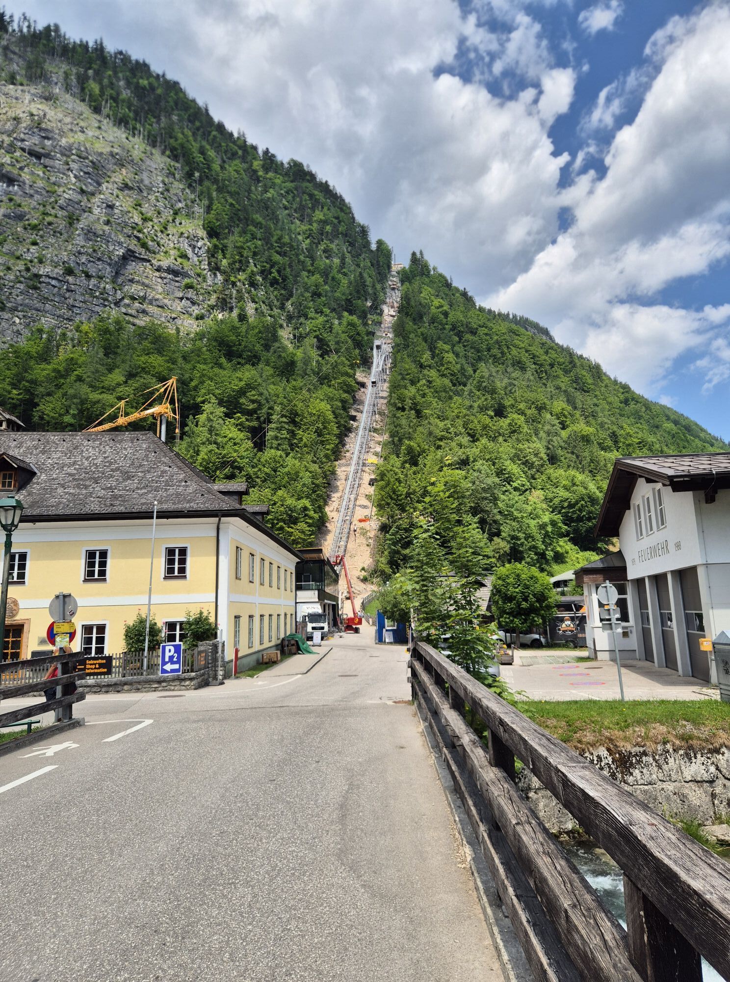
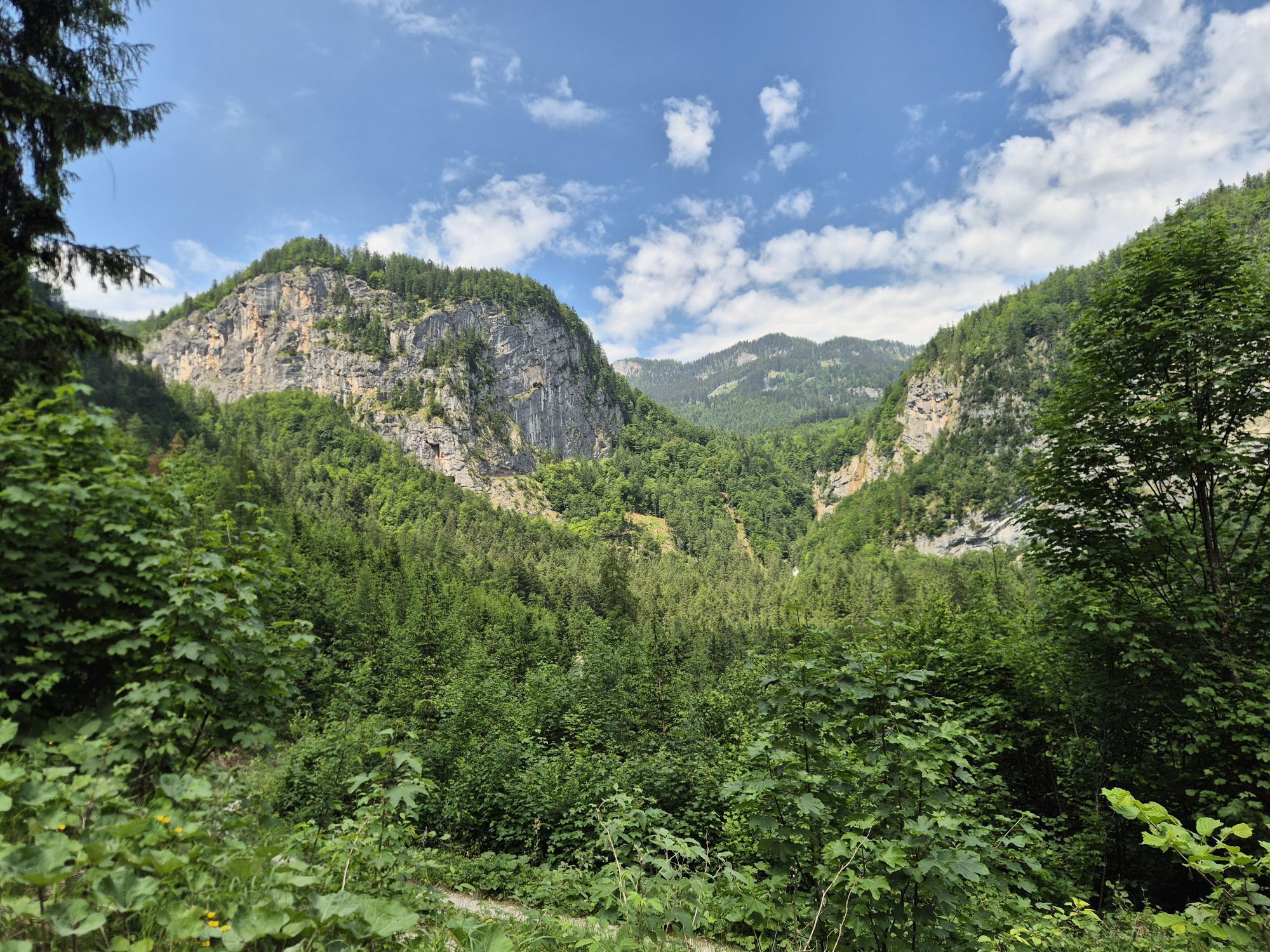
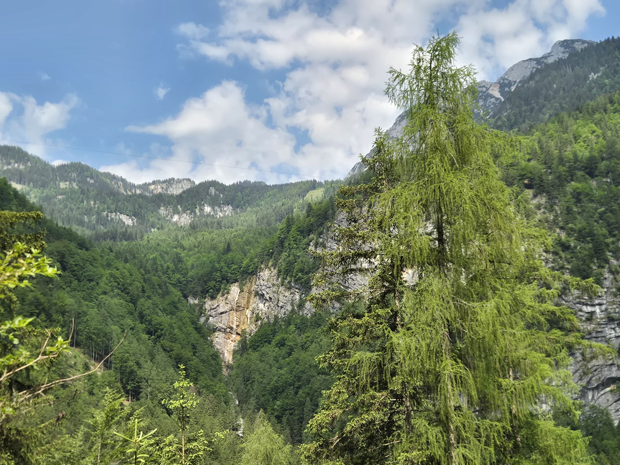
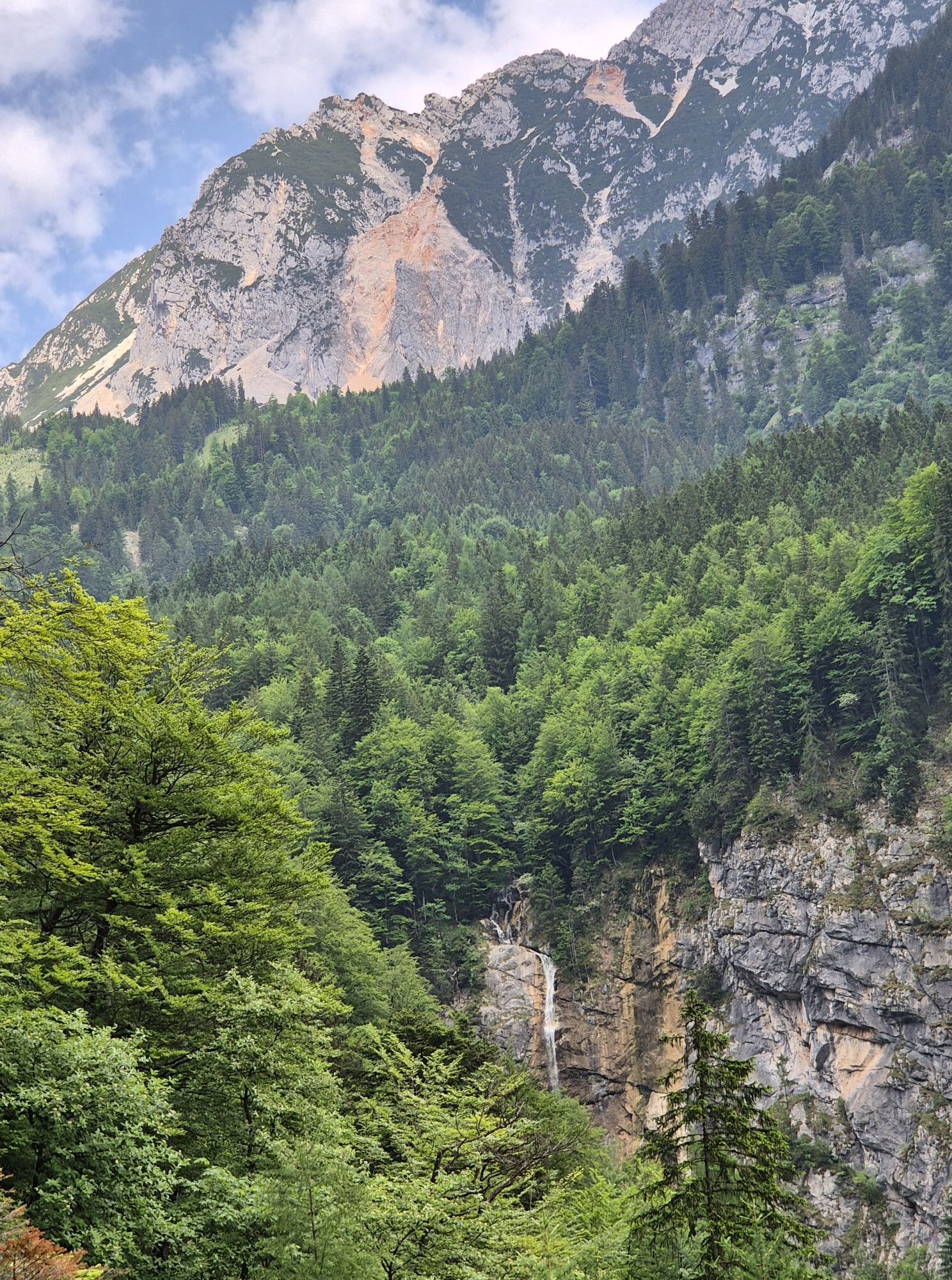
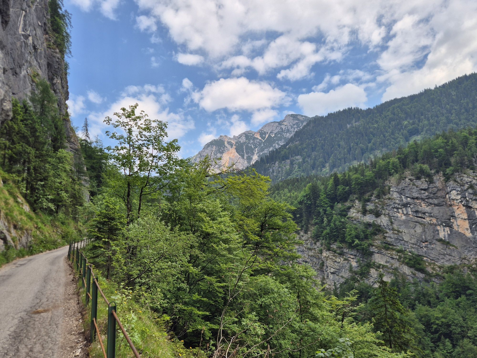
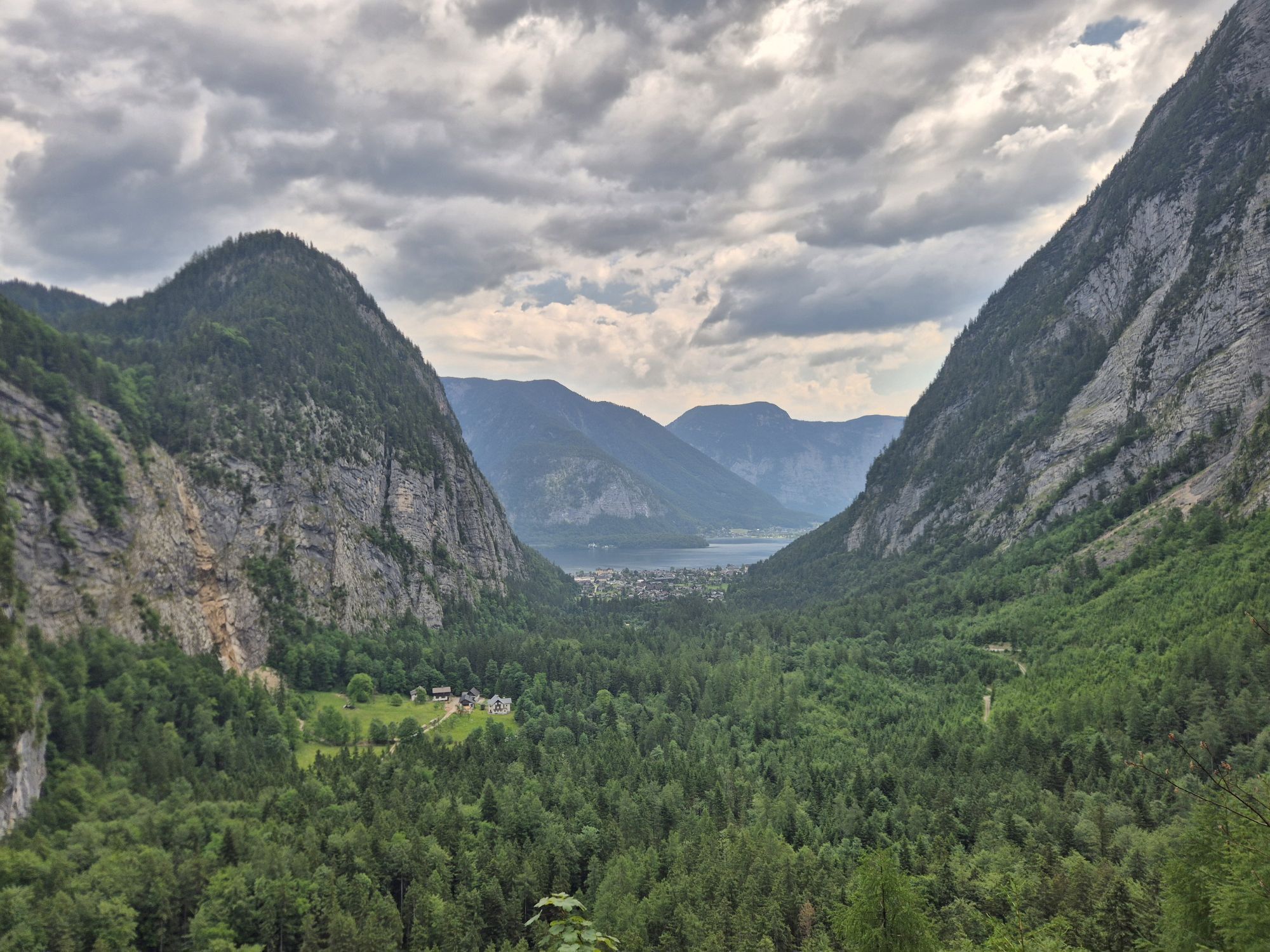
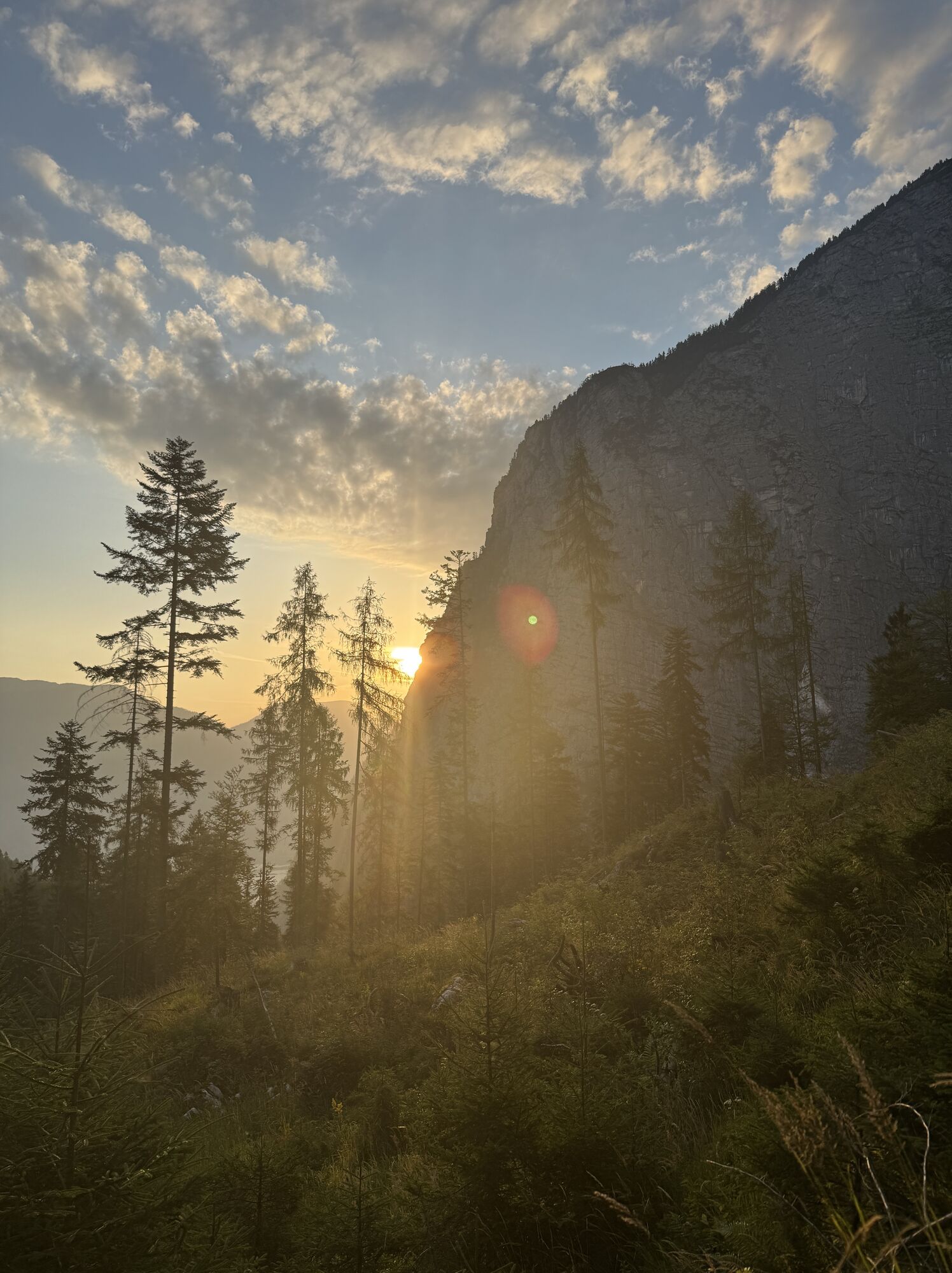
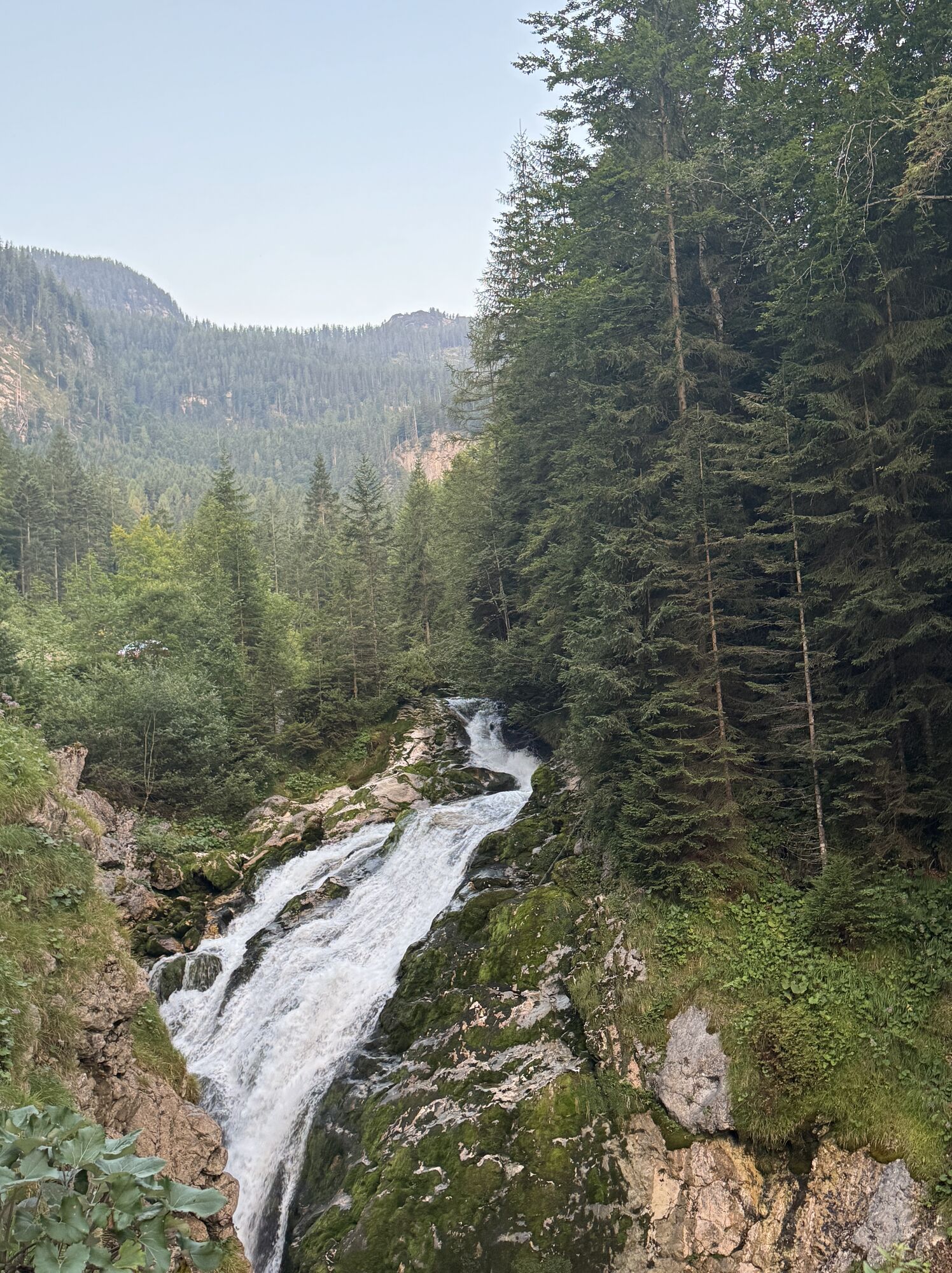
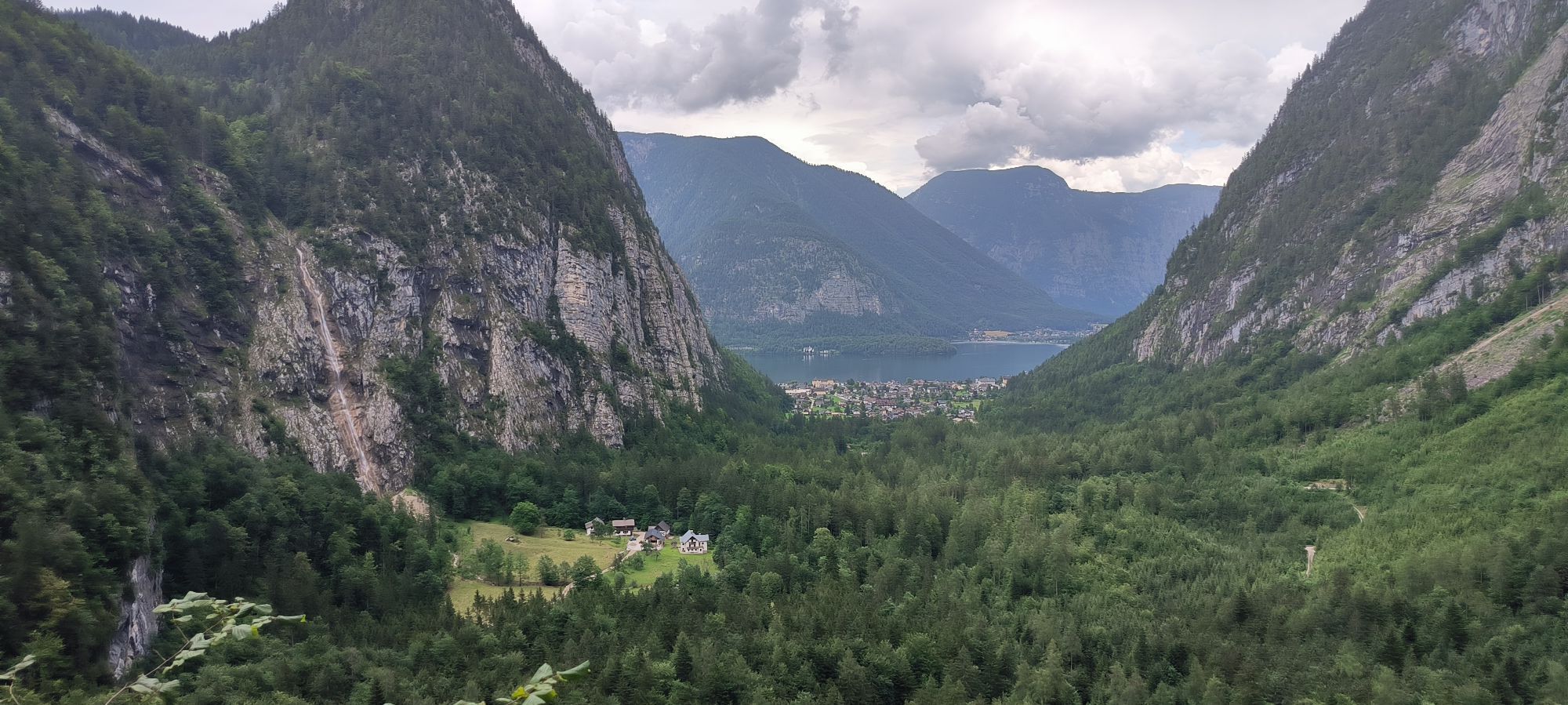
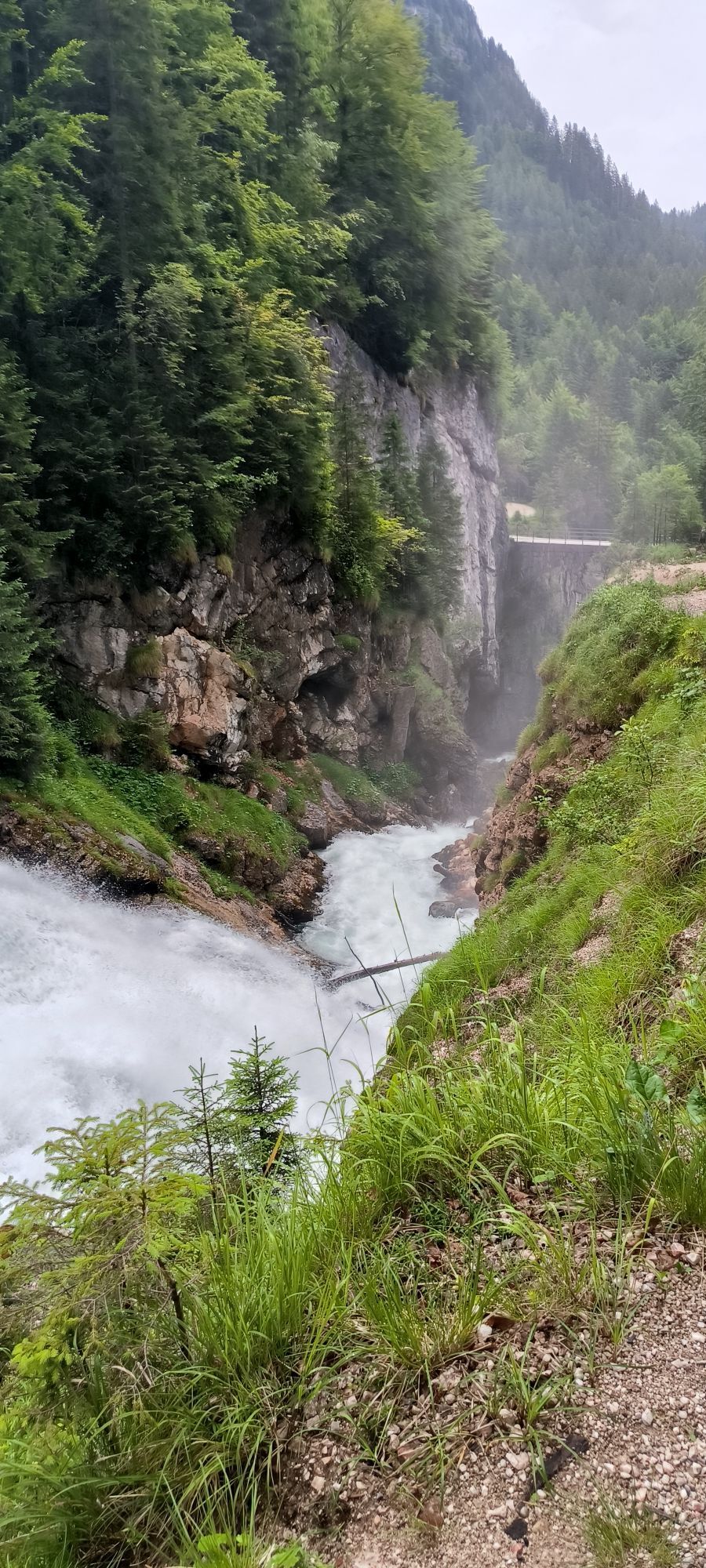
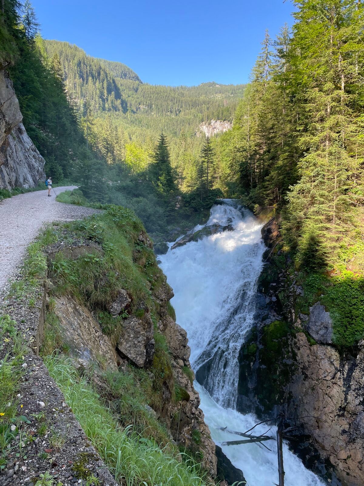
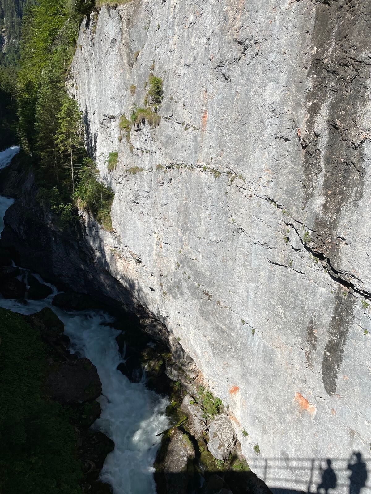
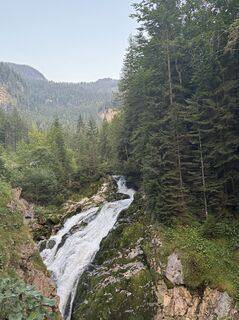
Then hike shortly on the road to the junction at the bridge over the waterfalls of the Waldbachstrub (great deep view). From there, turn right and descend on the mostly asphalted road over the deeply cut and high rock wall enclosed Echerntal – through a tunnel, past the station of the material cableway for the Wiesberghaus, and over the Dürrenbach bridge (left the path leads into the “Gletschergarten” – a somewhat longer variant). At the parking lot near the Simony monument, you reach the floor of the Echerntal (540 m).
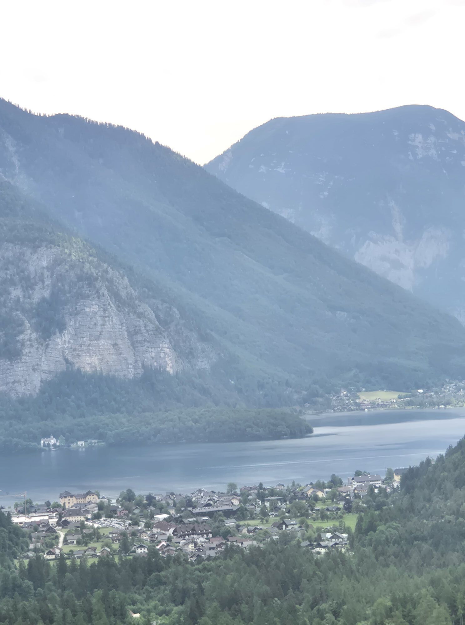
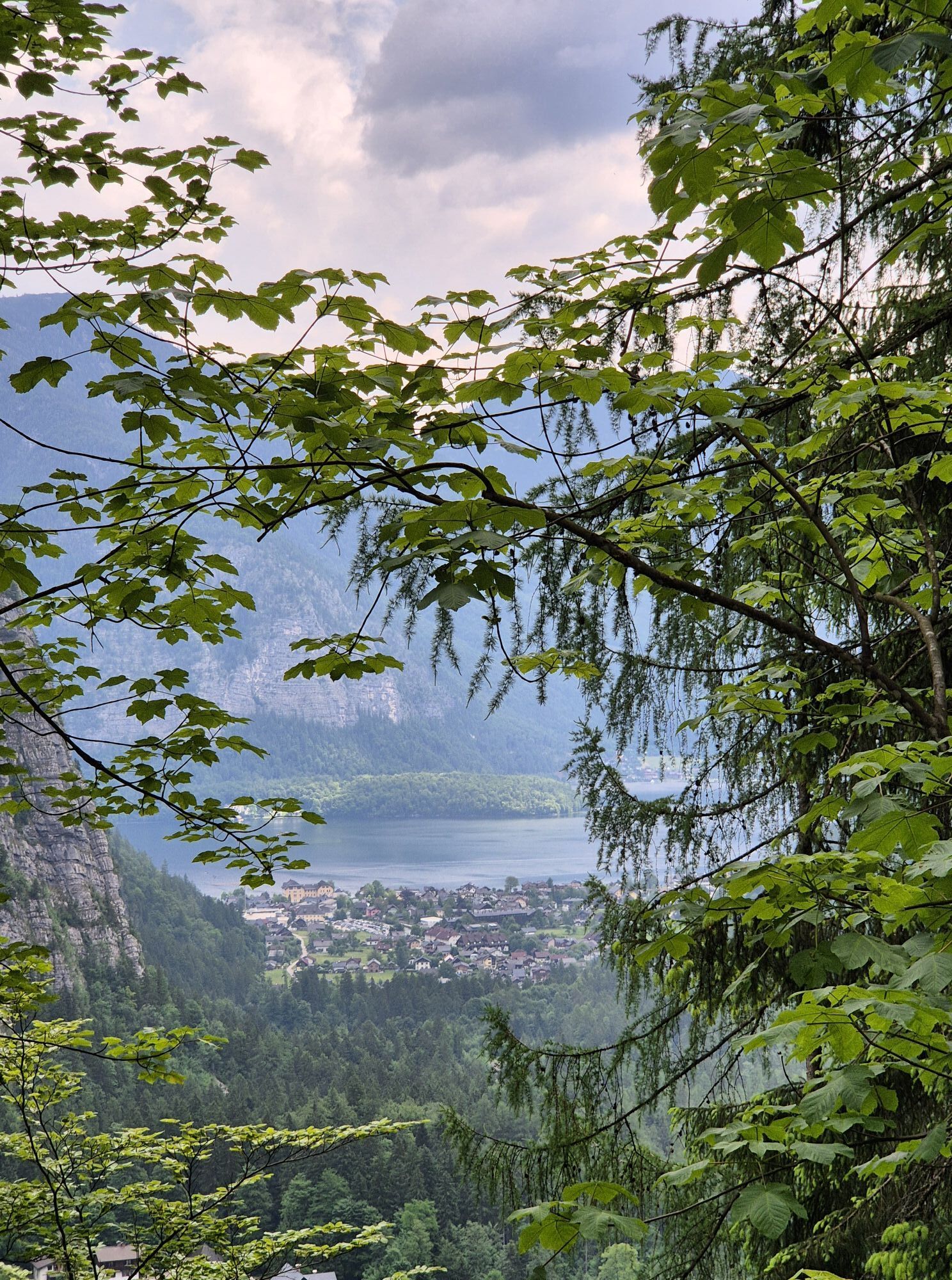
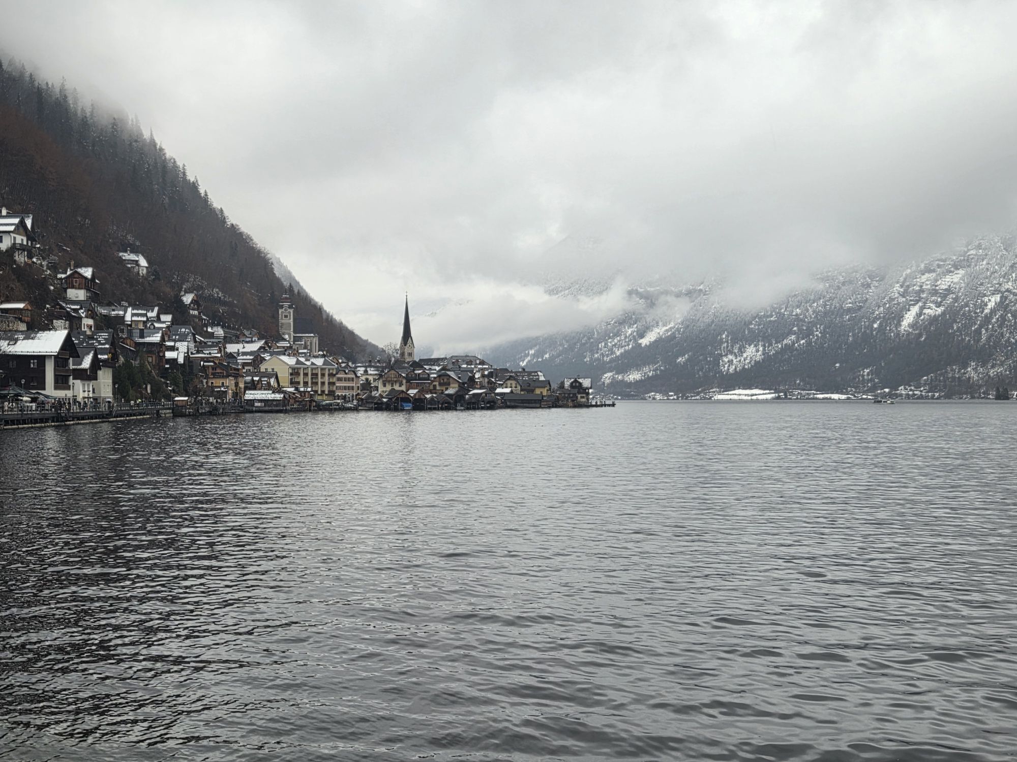
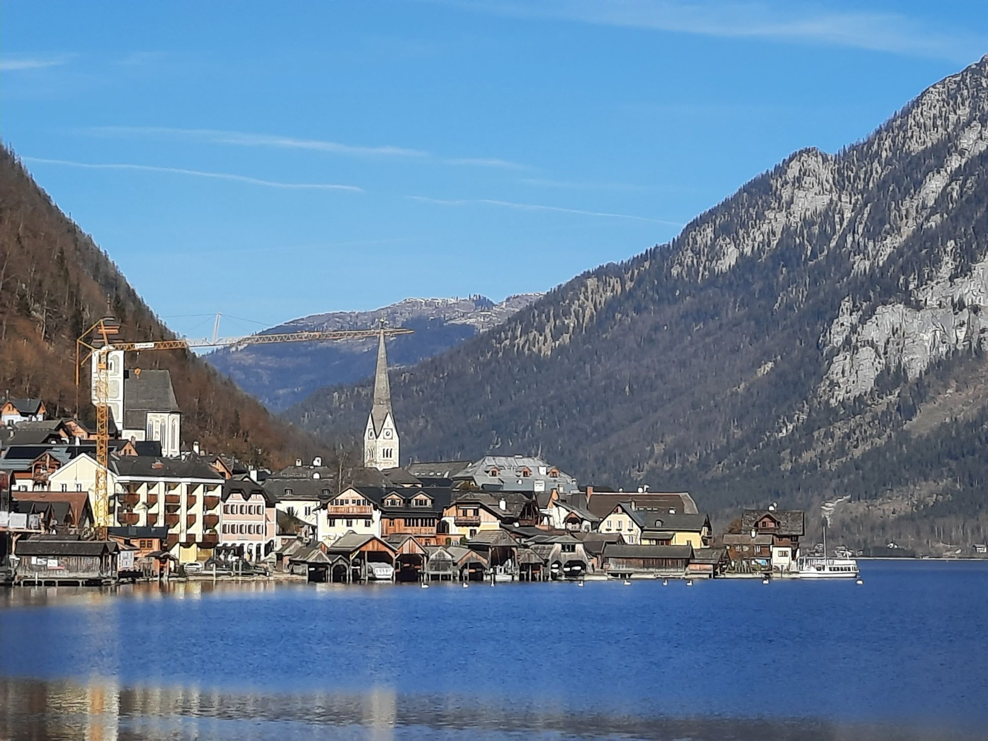
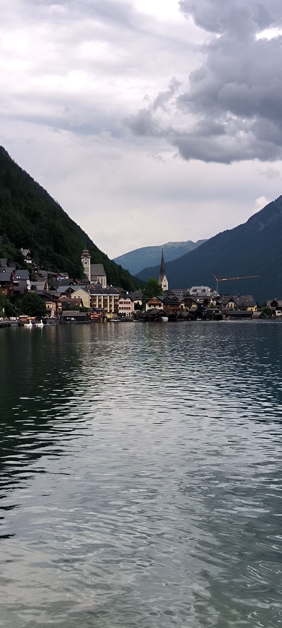
Finally, you go on the flat road (or left, across the brook on the Echerntal path) into the Hallstatt district of Lahn (511 m). At the bus terminal there on the shore of Lake Hallstatt is the ship landing stage. 3:00 h
On foot, you can reach the historic town center of Hallstatt in 15 minutes to the left. There begins the 16th stage of the Salzkammergut BergeSeen Trail.
For all stages, you need hiking or mountain boots with profiled rubber soles as well as wind- and waterproof clothing.
Spare clothes for changing and a small first aid kit should also be in your backpack. The amount of provisions you pack depends on the number of opportunities to stop for food. In any case, you should take enough to drink. Telescopic poles are especially helpful when hiking downhill.
In alpine terrain, be aware of the danger of falling rocks.
Until early summer, you may encounter steep snowfields or firn rills there – especially when icy, there is acute risk of falling and thus danger to life!
Due to storm damage, forestry work, or construction measures, individual sections of the trail may be temporarily difficult or impossible to pass.
Cows in the alpine pasture are often curious. Due to the mother cow husbandry, they develop a strong drive to protect their calves. So move calmly on cow pastures, keep at least 20 m distance from the animals and do not pet calves! In case of threat gestures (scratching, stamping), slowly walk backwards (do not turn your back). Dogs must be on a leash; they are not allowed to bark at or chase cows. In an attack, you must definitely let go of the leash.
With kind provision of the text by the KOMPASS publishing house and Wolfgang Heitzmann.
More information at trail.salzkammergut.at
Webové kamery z prohlídky

Aktivity na trase
-

Hallstatt, Oberösterreich/Österreich
01.09.2026 – Turistika -

Hallstatt, Oberösterreich/Österreich
21.08.2026 – Horská turistika -
Hallstatt, Oberösterreich/Österreich
13.08.2026 – Horská turistika -

Hallstatt, Oberösterreich/Österreich
09.08.2026 – Turistika -

Hallstatt, Upper Austria/Austria
31.07.2026 – Turistika -
Hallstatt, Upper Austria/Austria
21.07.2026 – Turistika -
Hallstatt, Oberösterreich/Österreich
21.07.2026 – Turistika -
Hallstatt, Oberösterreich/Österreich
12.07.2026 – Horská turistika -

Wiesberghaus und (fast) Simonyhütte
12.07.2026 – Turistika -

Hallstatt, Oberösterreich/Österreich
11.07.2026 – Turistika -
Hallstatt, Oberösterreich/Österreich
20.06.2026 – Horská turistika -

Hallstatt, Oberösterreich/Österreich
04.06.2026 – Turistika -
Hallstatt, Oberösterreich/Österreich
04.04.2026 – Turistika -

Hallstatt, Oberösterreich/Österreich
21.03.2026 – Turistika -

Abstieg nach Hallstadt
02.01.2026 – Turistika -

Hallstatt Wiesberghaus Simonyhütte
15.08.2025 – Turistika -
Wiesberghaus/Simonyhütte
15.08.2025 – Turistika -

Hallstatt, Oberösterreich/Österreich
09.08.2025 – Turistika
Oblíbené prohlídky v okolí
-
4.5
Ramsau am Dachstein: Steinerne Jungfrauen
Turistika 8.11 km -
4.8
Ramsau am Dachstein: Bergstation Dachstein-Seilbahn - Guttenberghaus - Ramsau
středníTuristika 14.4 km -
4.3
Heilbronner Rundwanderweg
světloTuristika 9.04 km -
4.4
Filzmoos: Rötelstein (Rettenstein)
Turistika 9.50 km -
4.9
From Rußbach over the Gamsfeld
heavyTuristika 11.5 km -
4.8
Tour around the Gosaukamm
středníTuristika 20.9 km -
3.8
Ostuferwanderweg
světloTuristika 16.2 km -
4.5
Bad Goisern: Pötschenhöhe – Sarstein - Obertraun
Turistika 11.4 km -
4.7
Tor-Wanderung
heavyTuristika 14.2 km -
4.7
Tour around the Lake Gosau
světloTuristika 4.43 km
Pěší turistika a stopování


Nenechte si ujít nabídky a inspiraci pro vaši příští dovolenou
Vaše e-mailová adresa byl přidán do poštovního seznamu.





