






BergeSeen Trail 03: Steinbach - St. Wolfgang
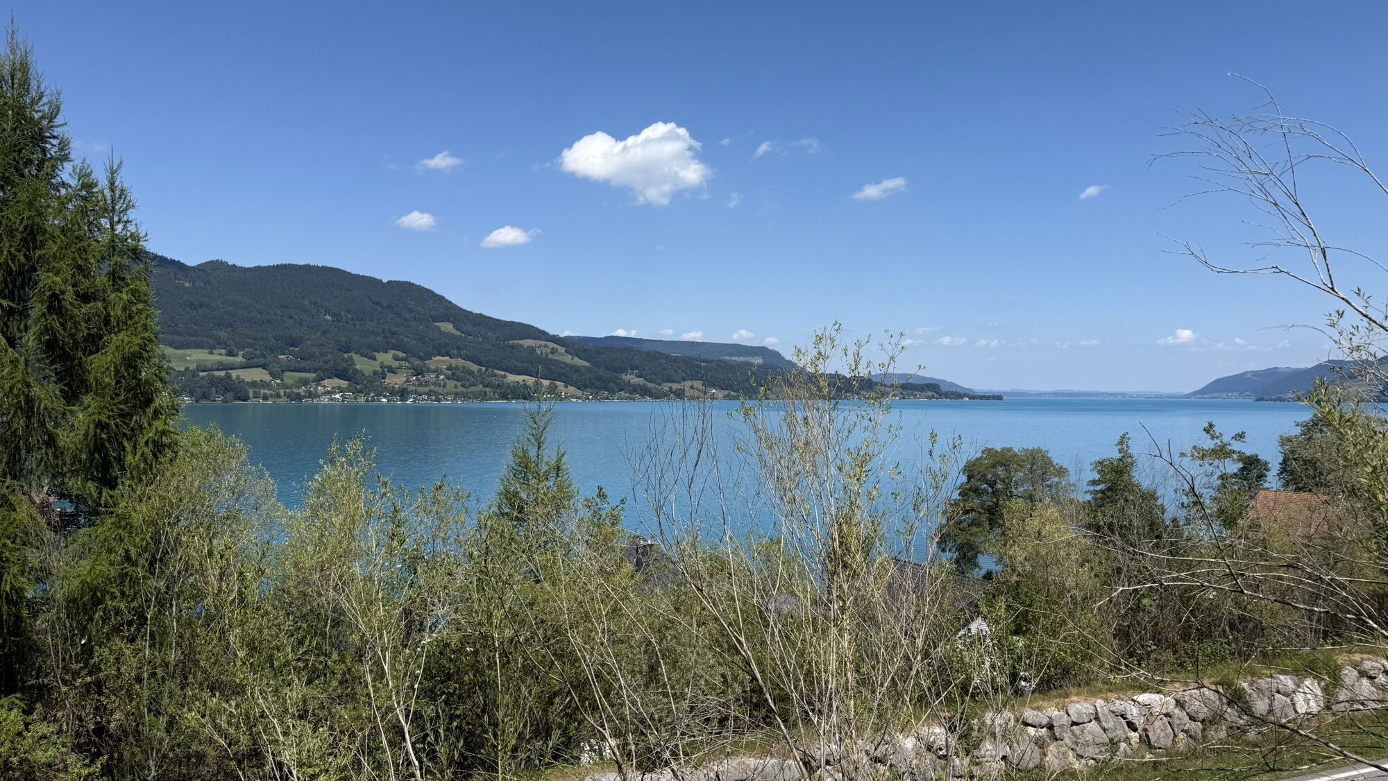
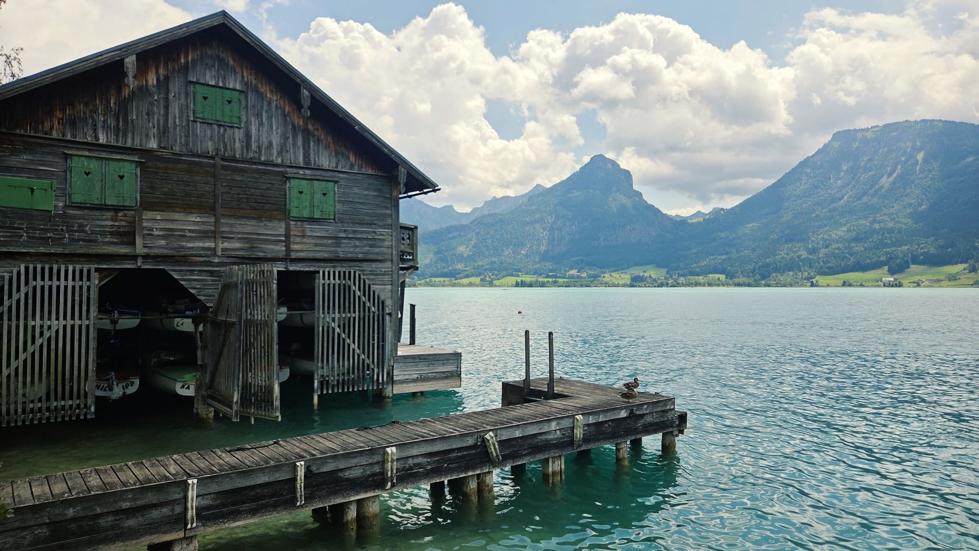
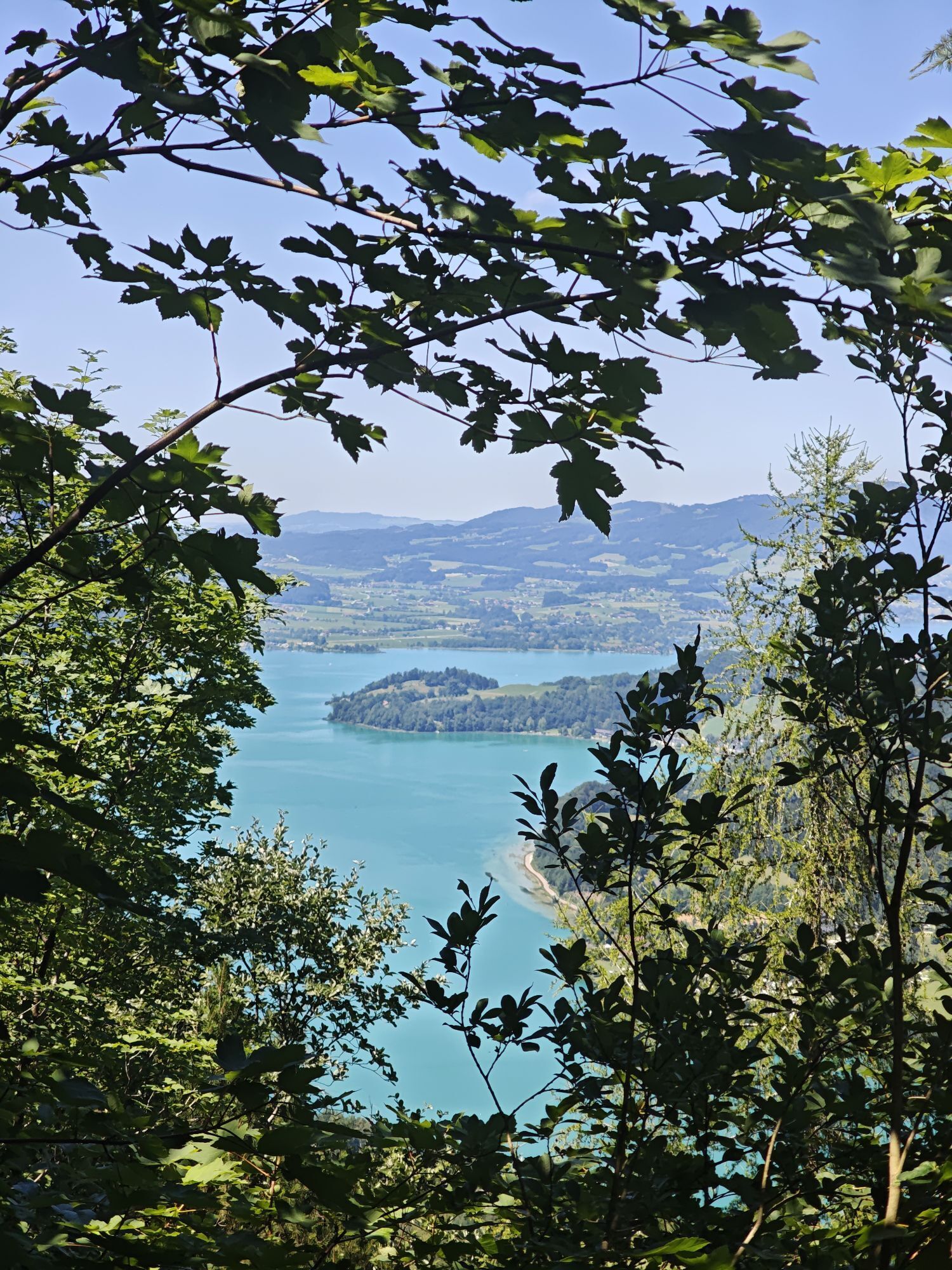
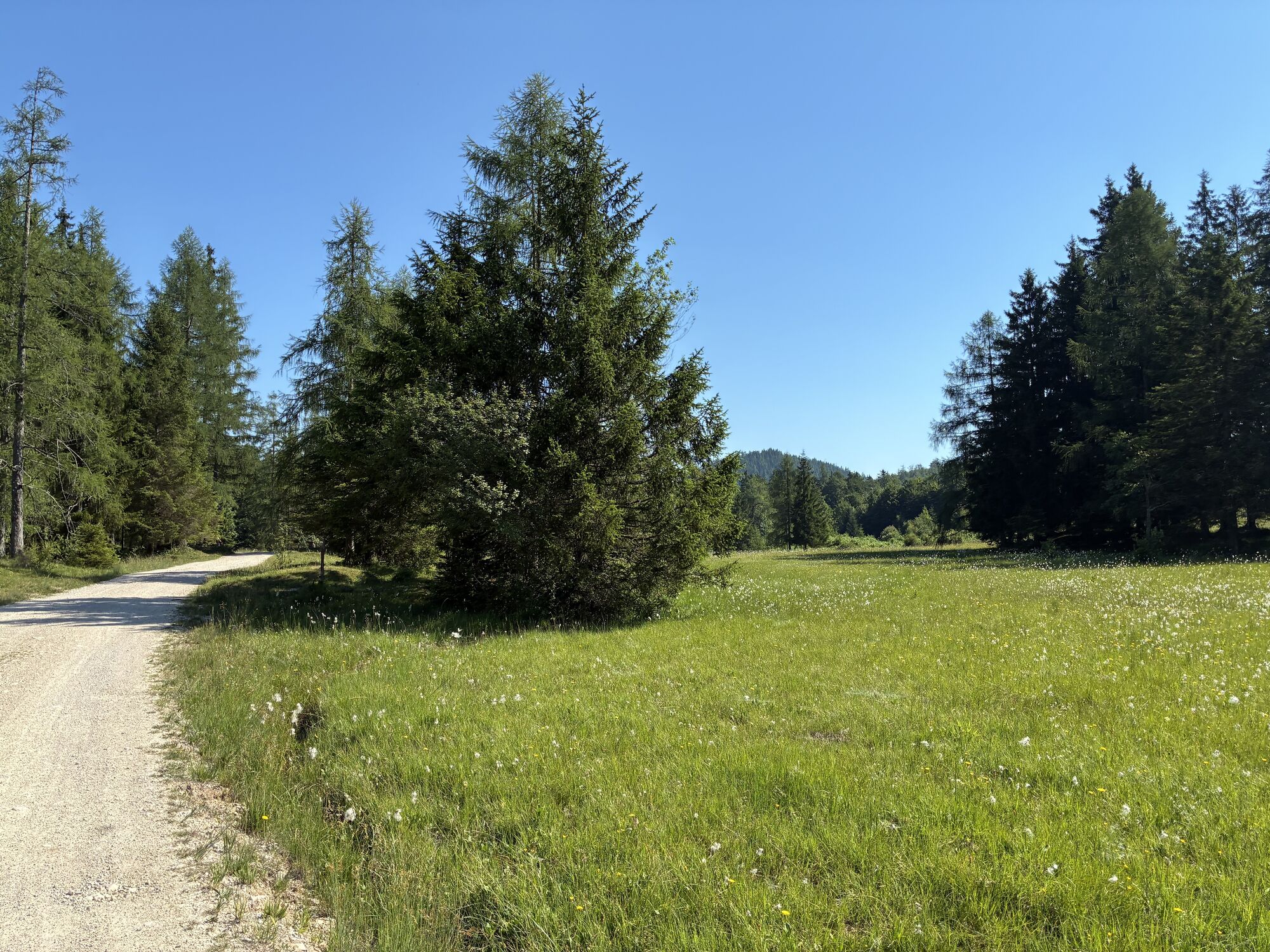
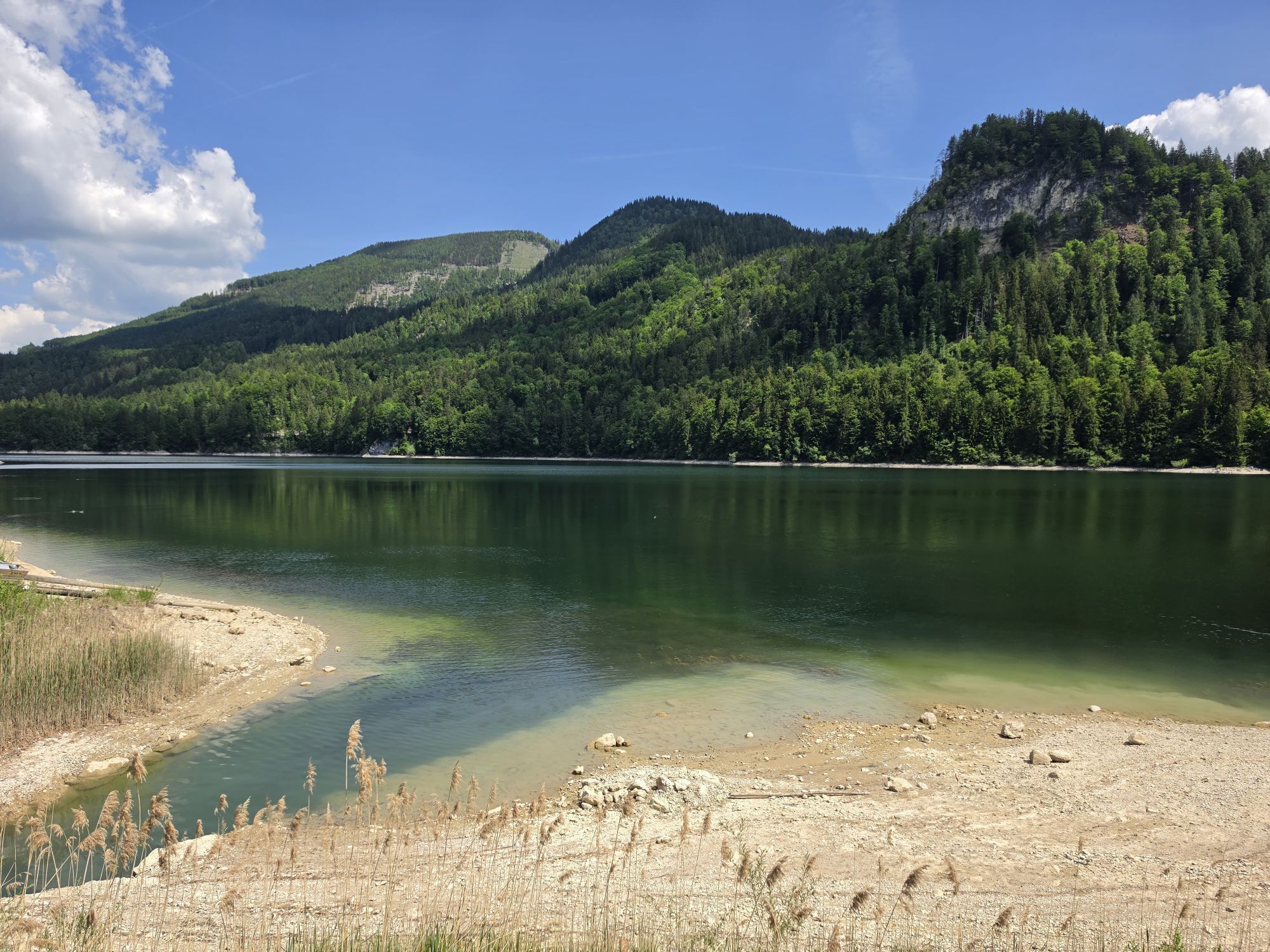
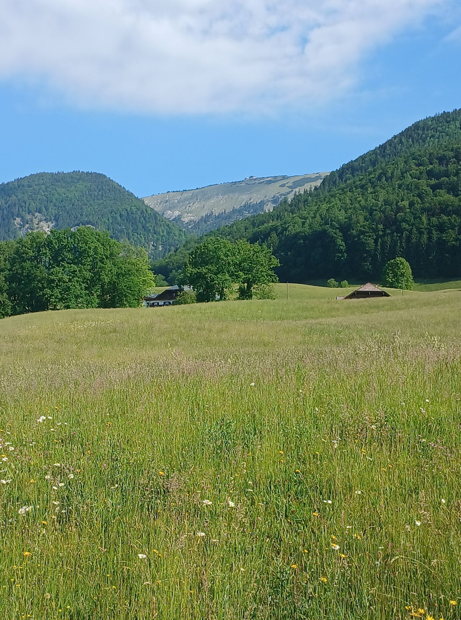
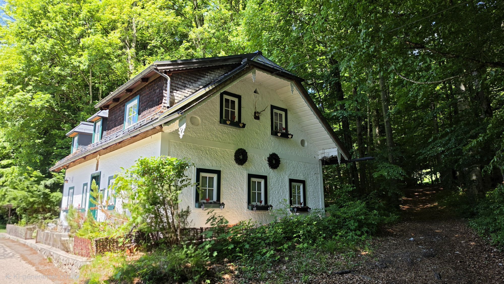
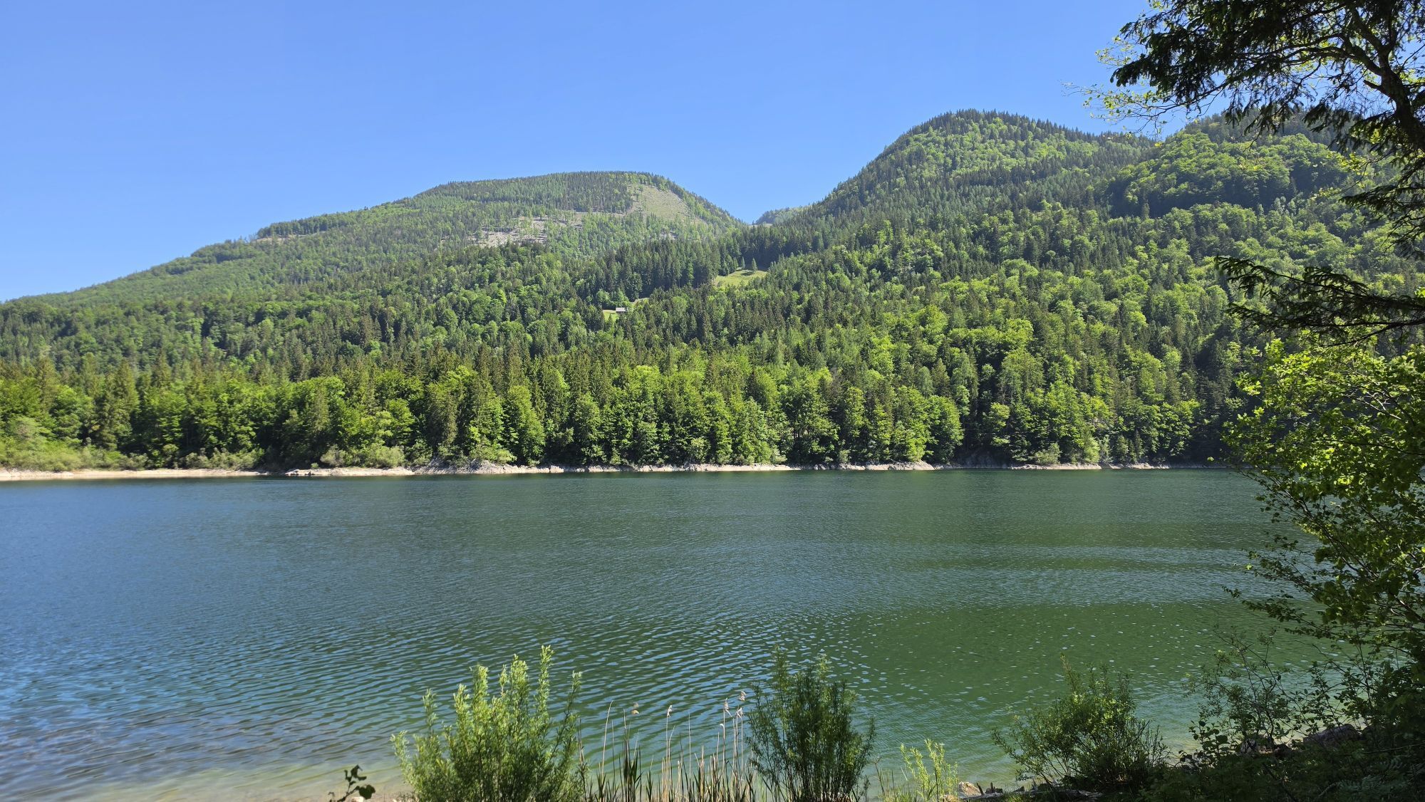
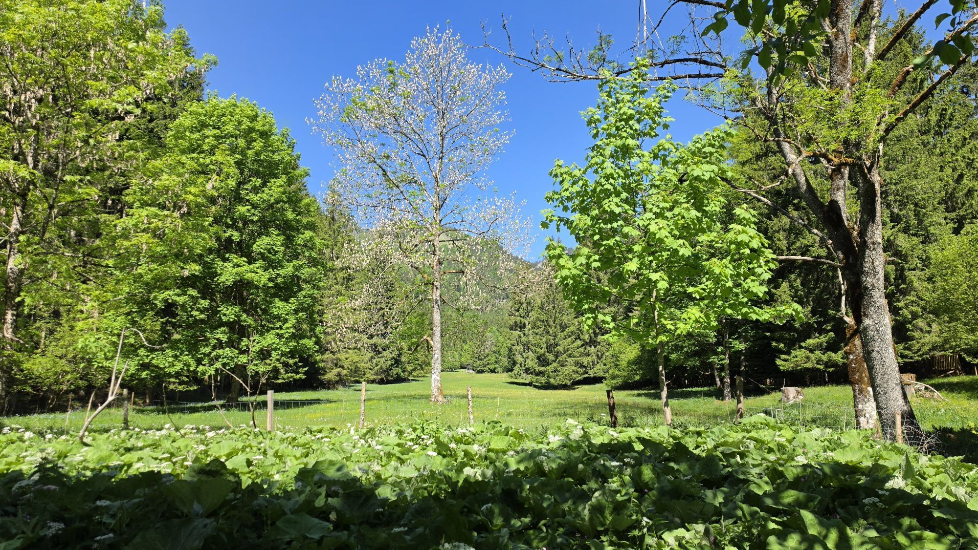
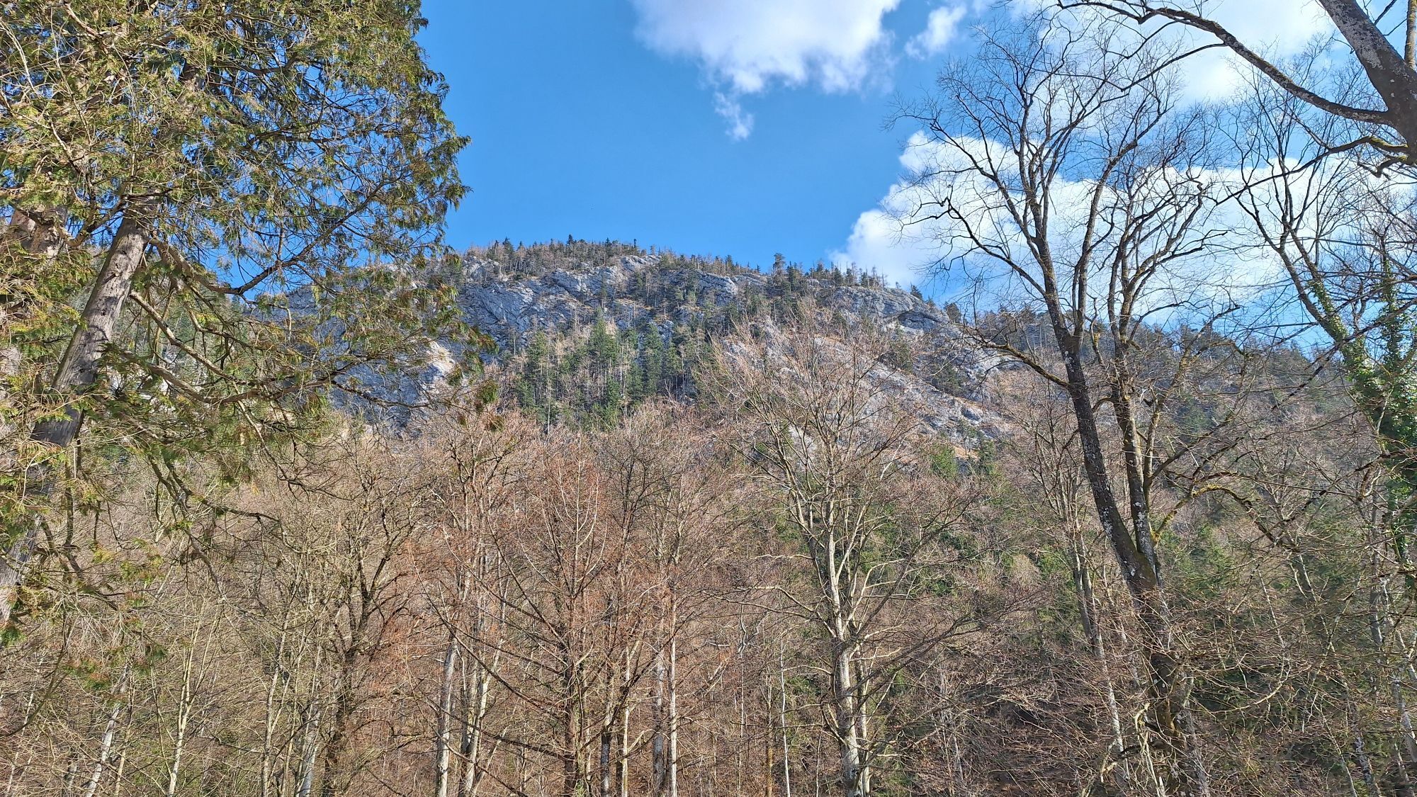
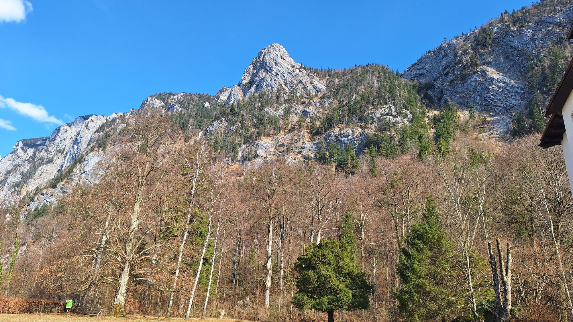
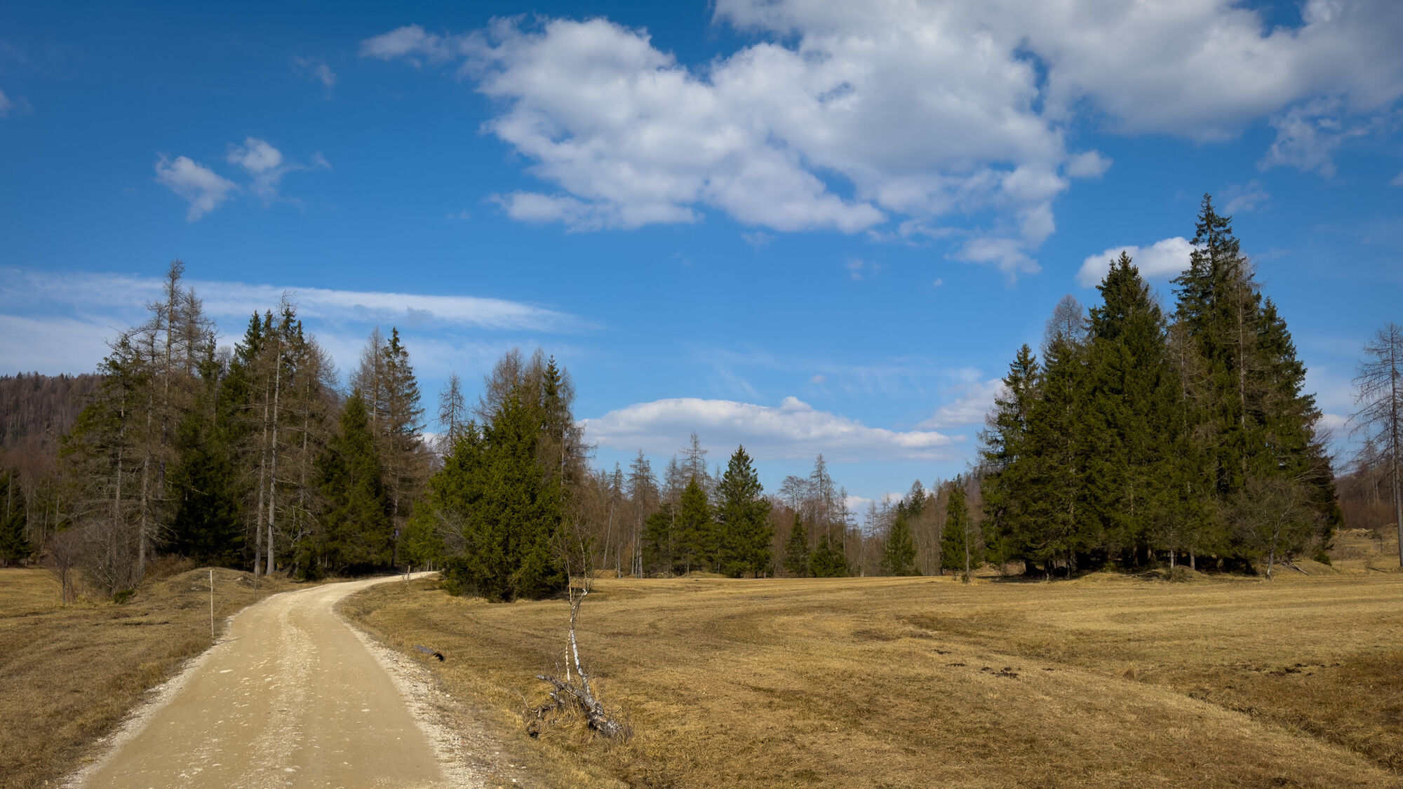
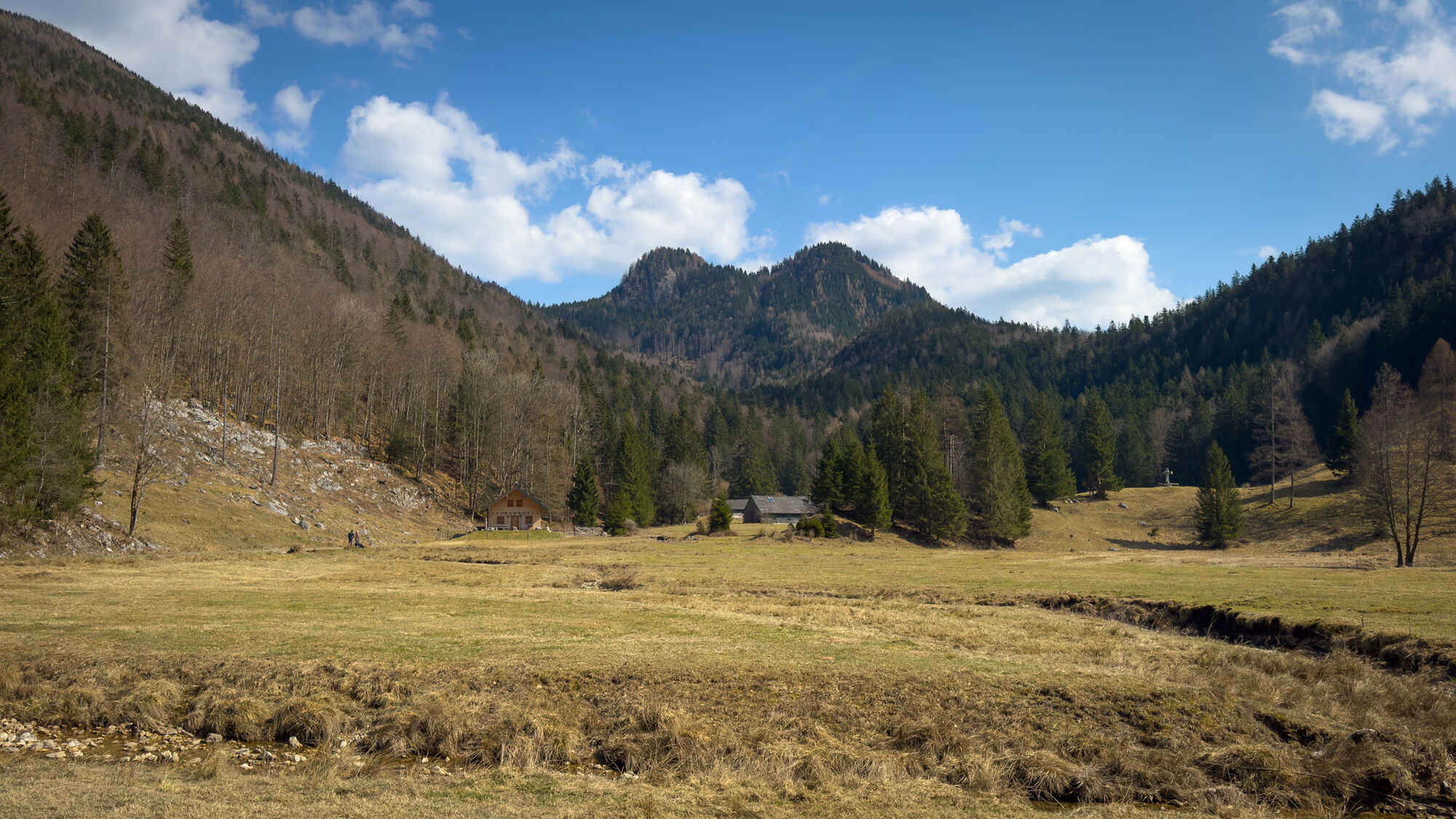
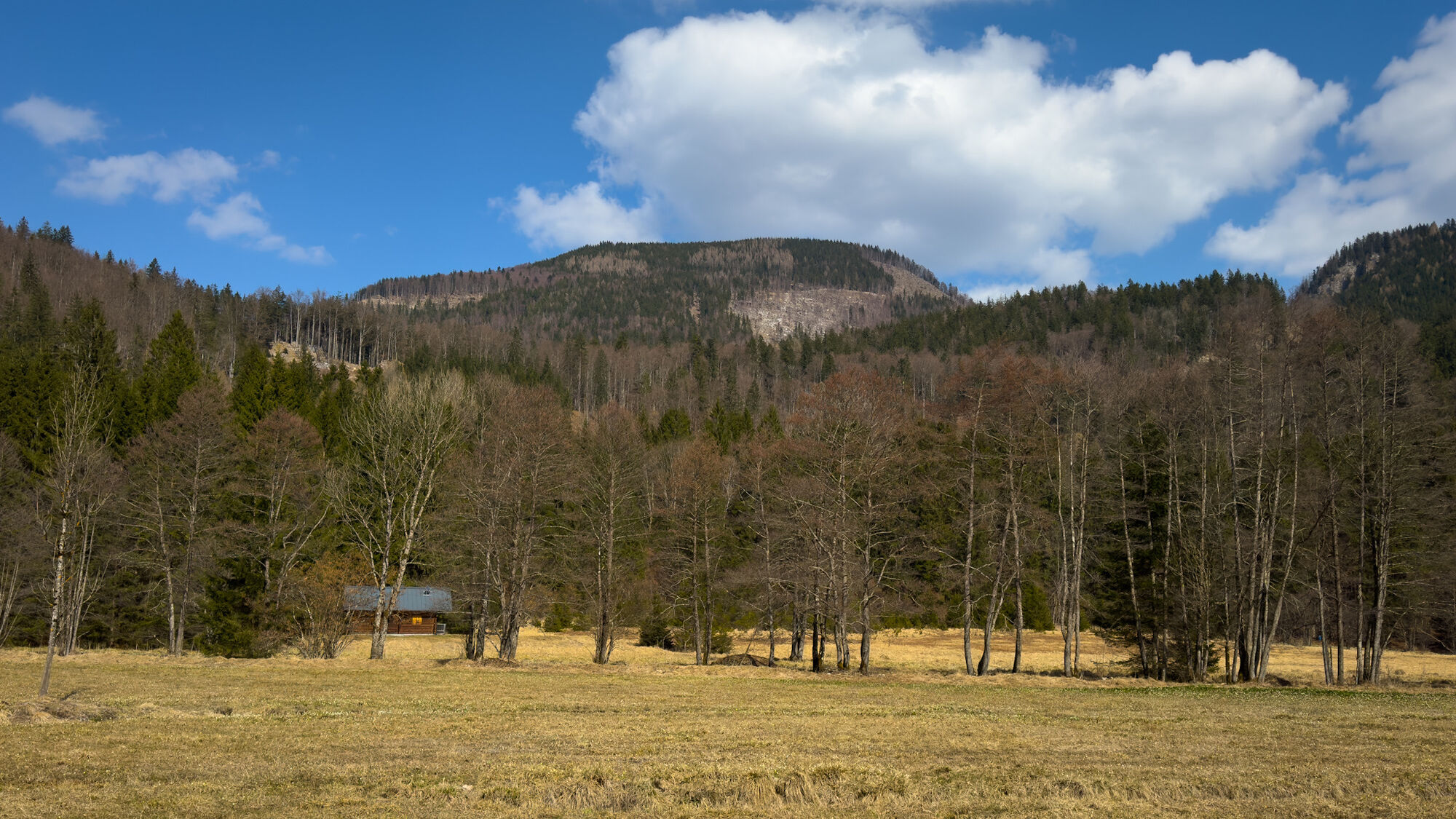
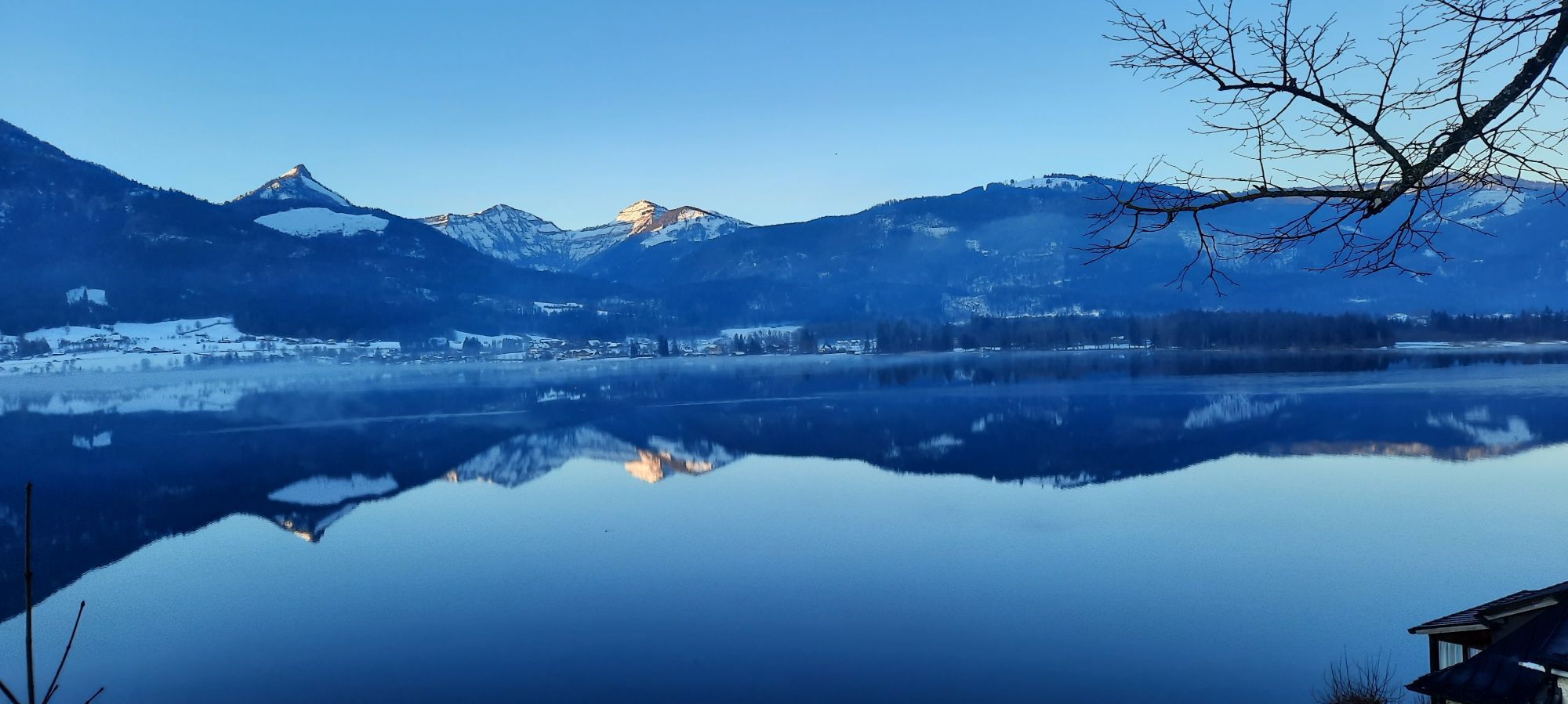
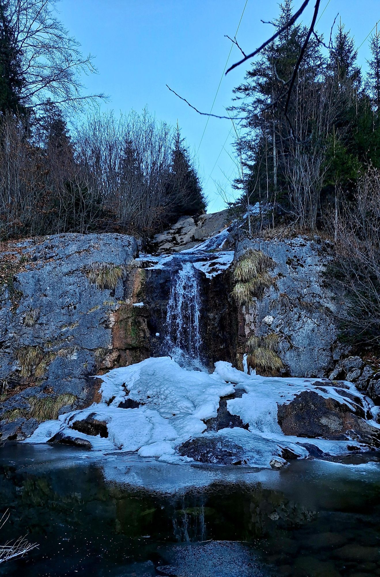
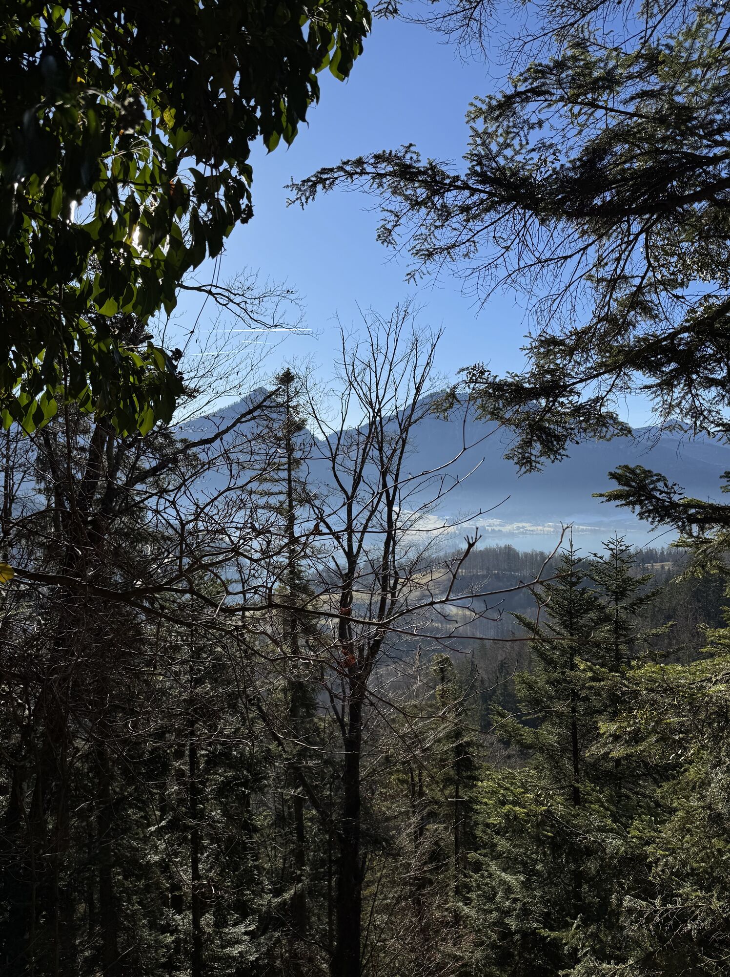
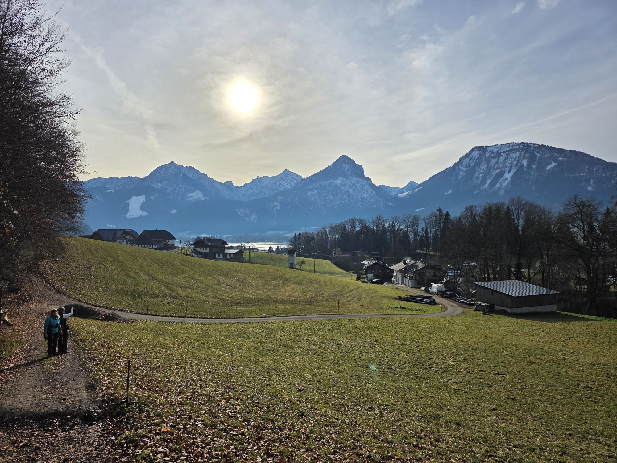
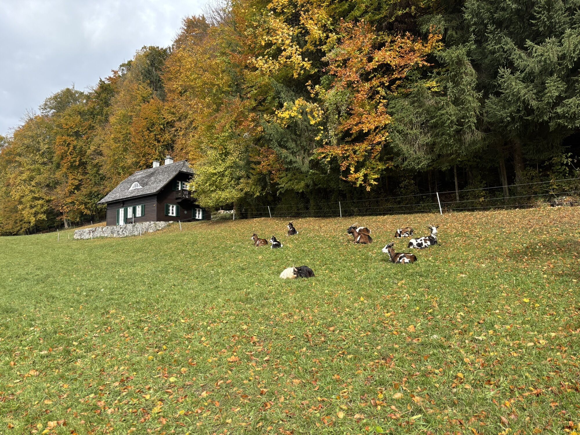
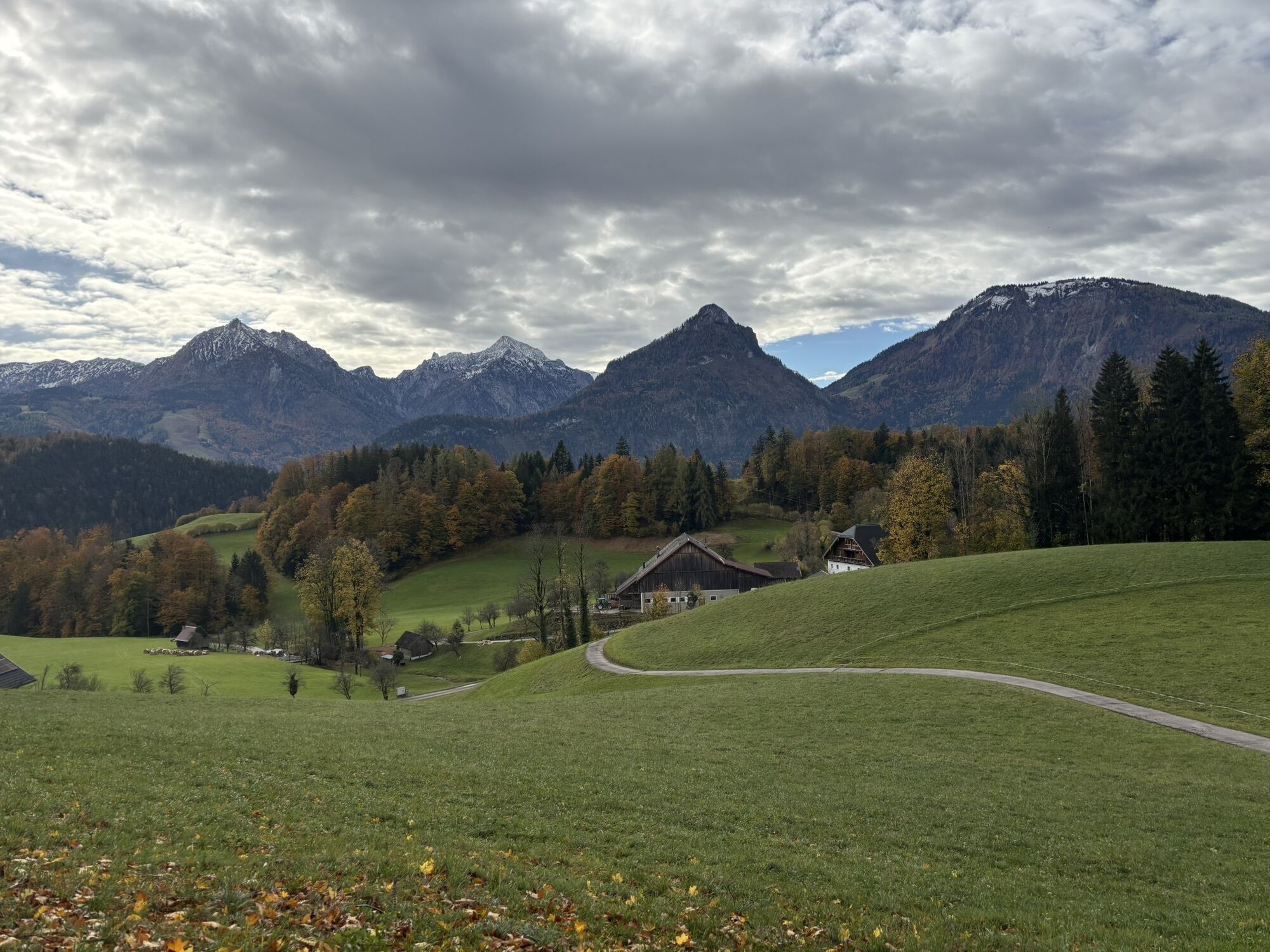
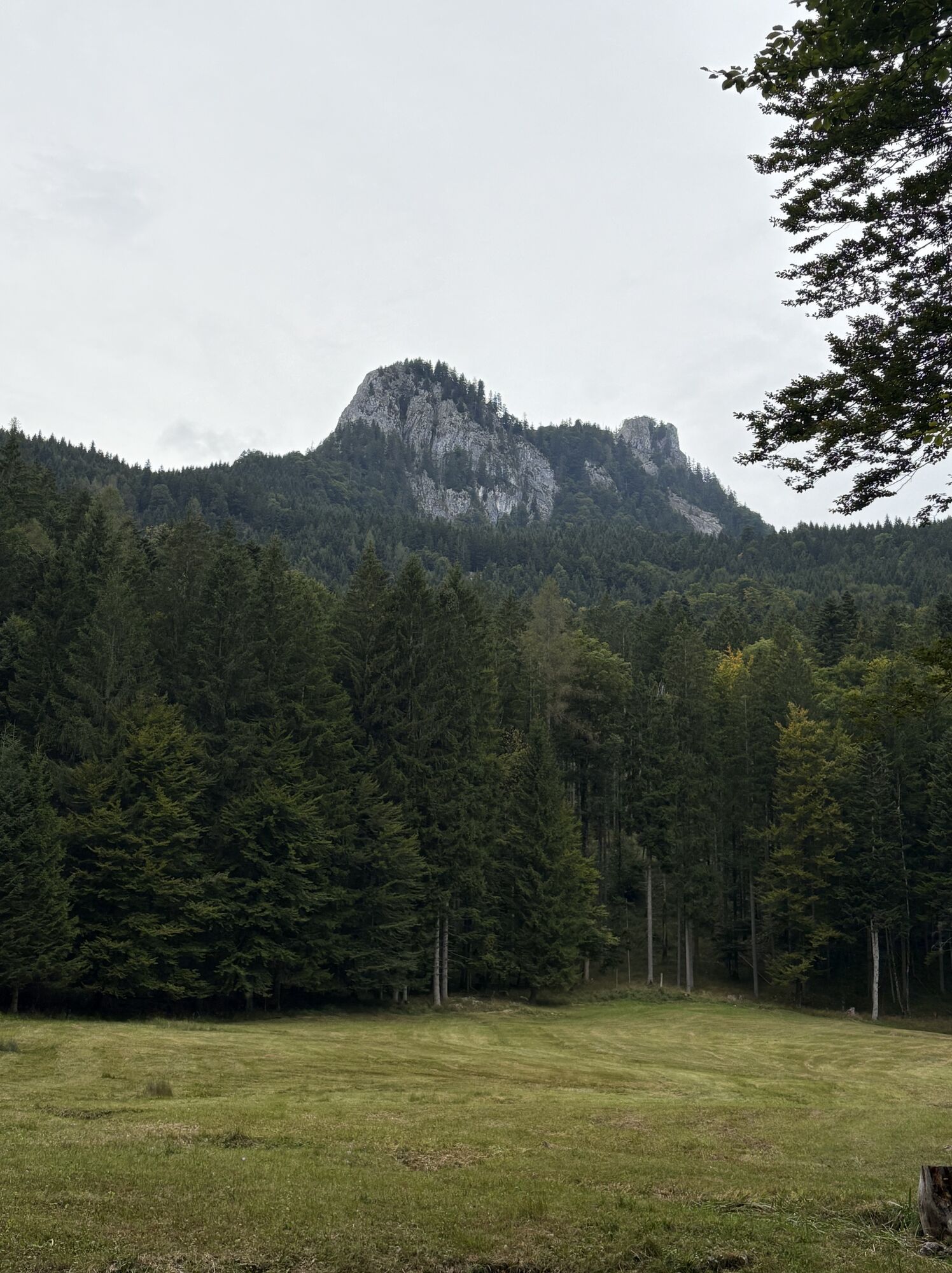
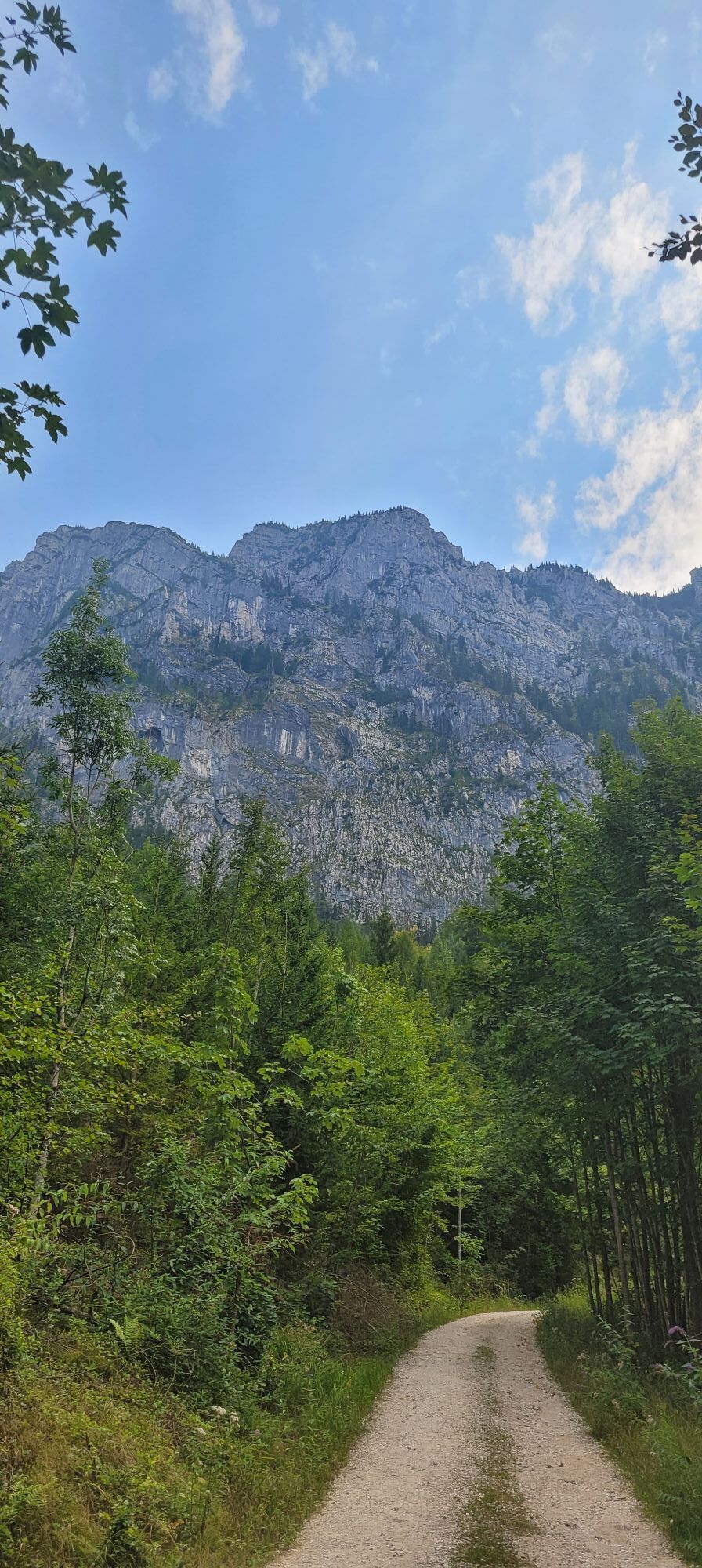
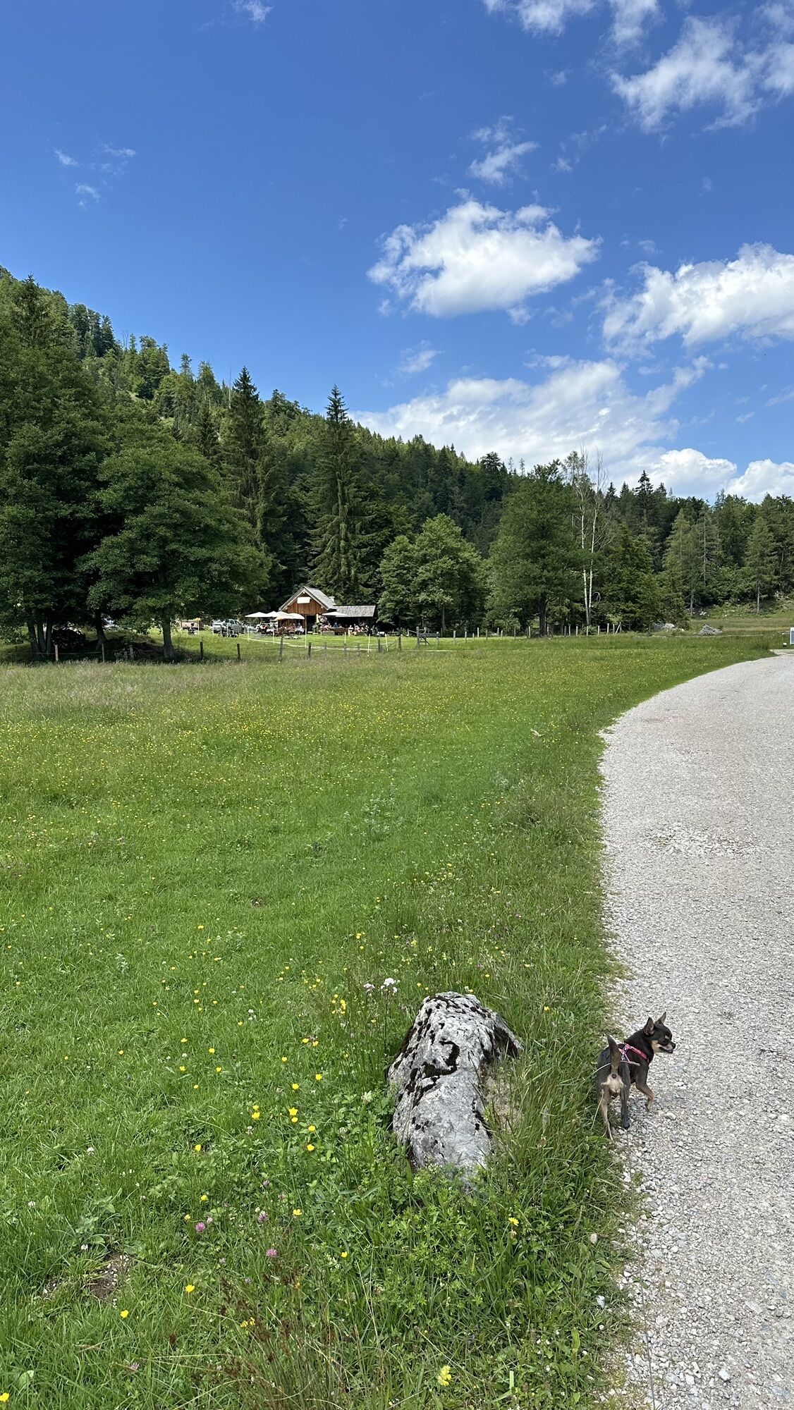

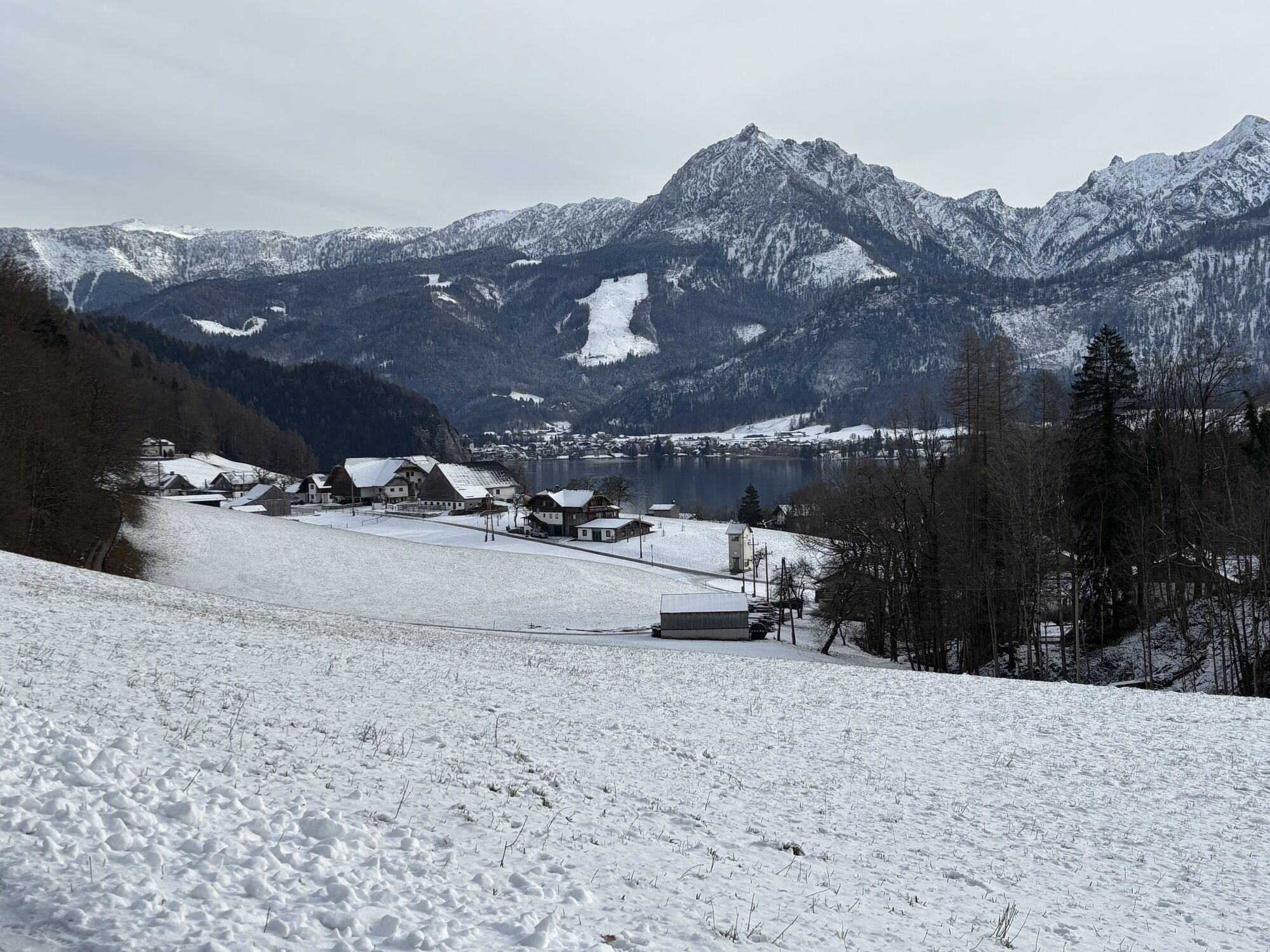
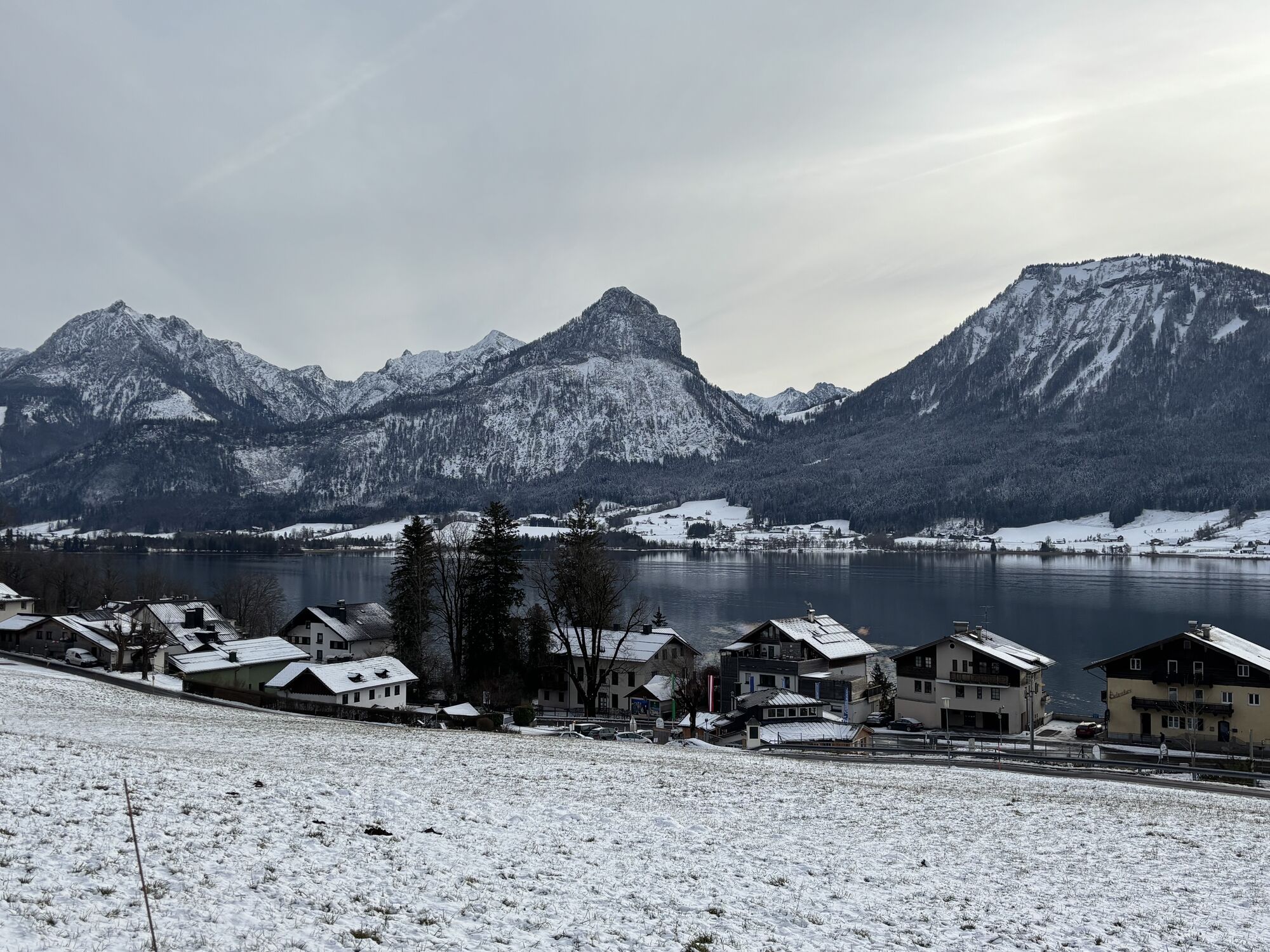
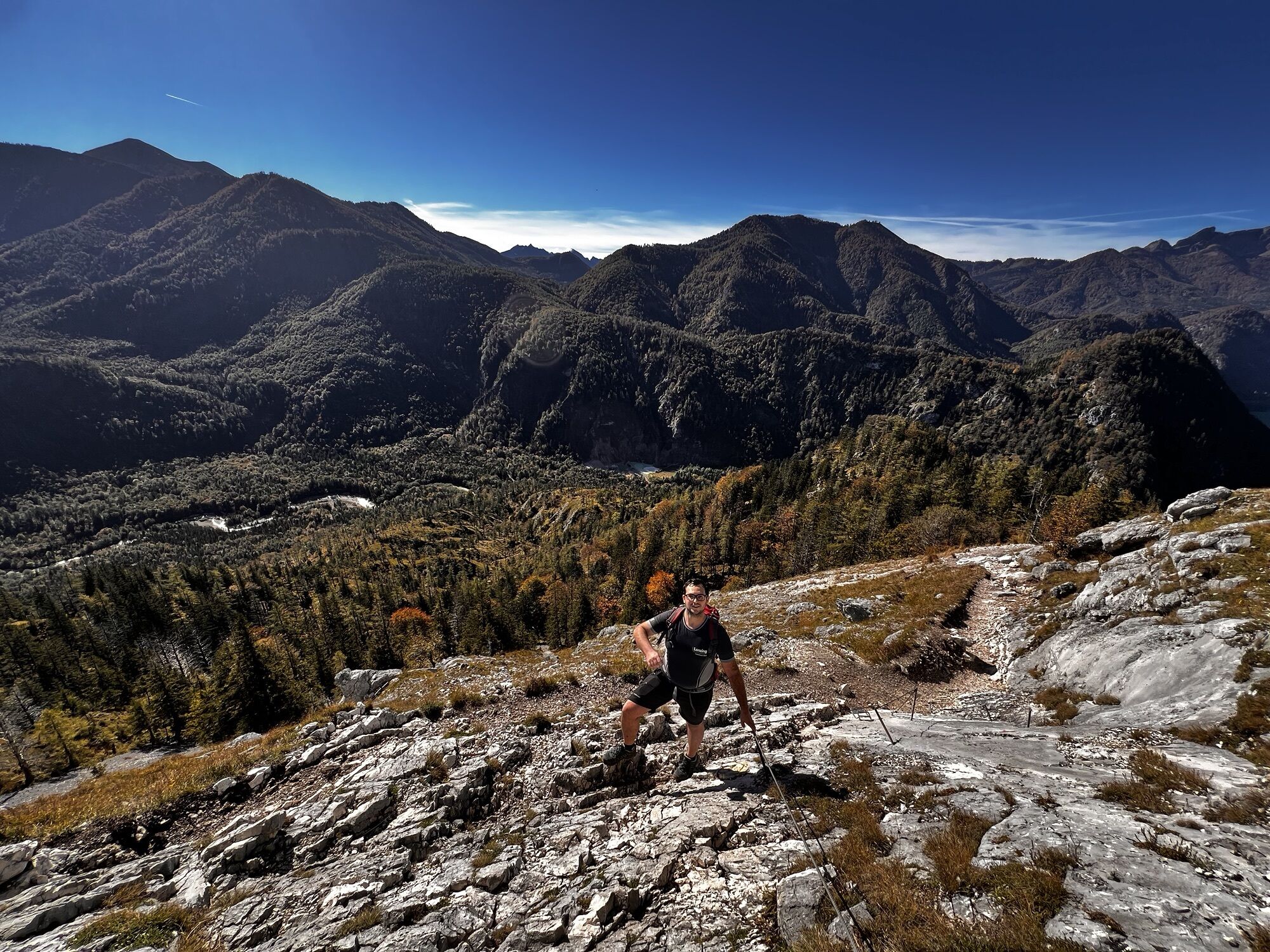
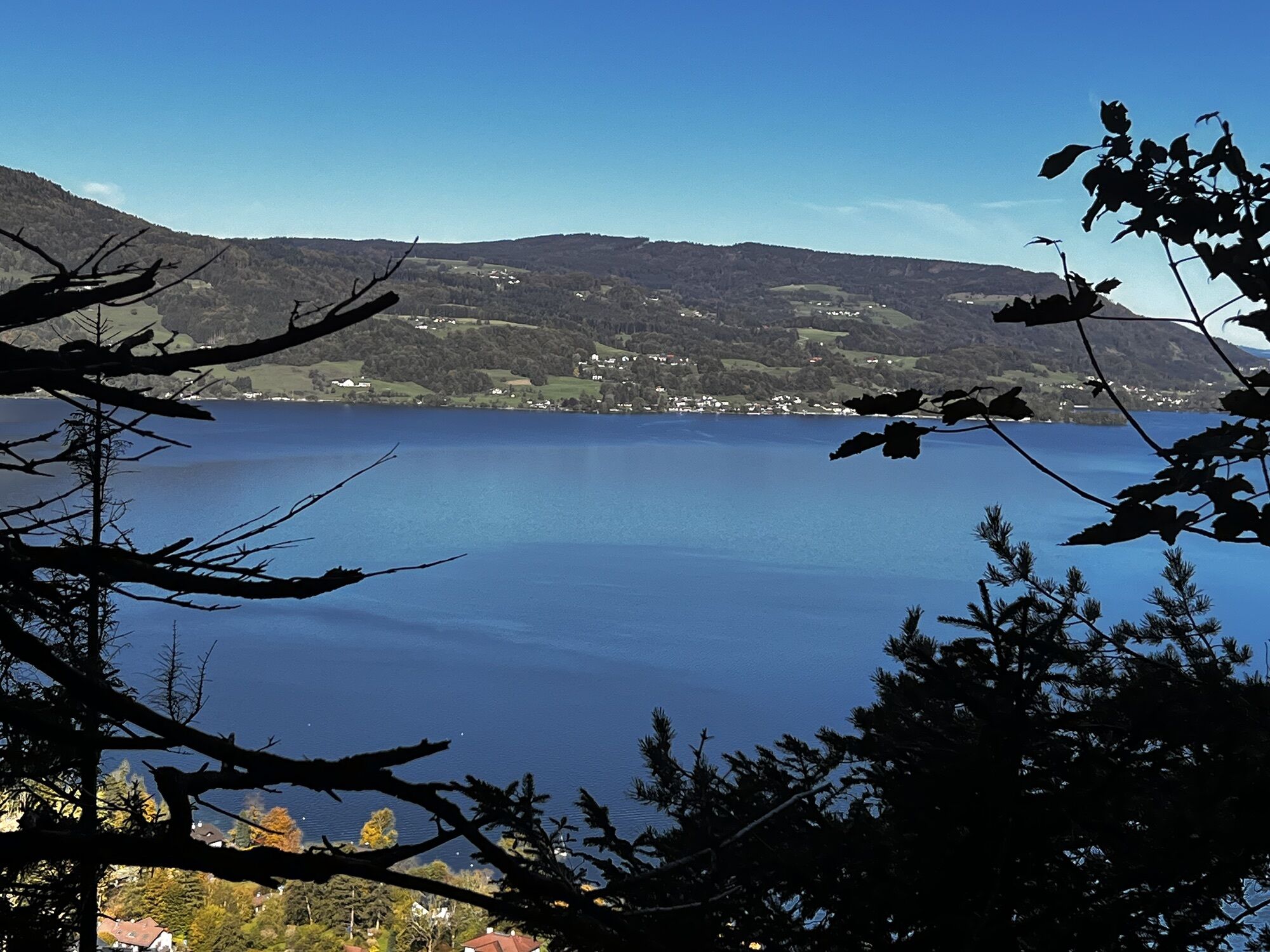
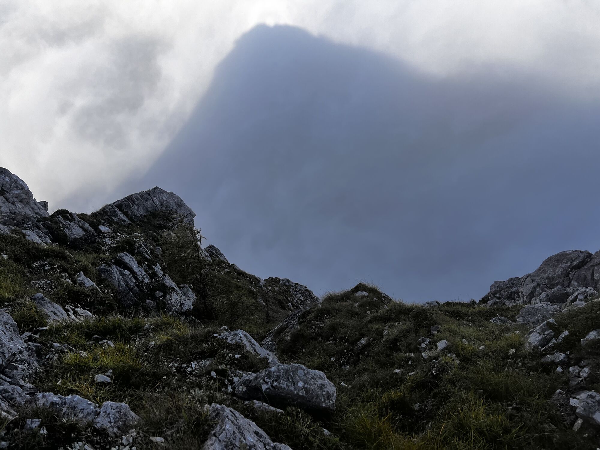

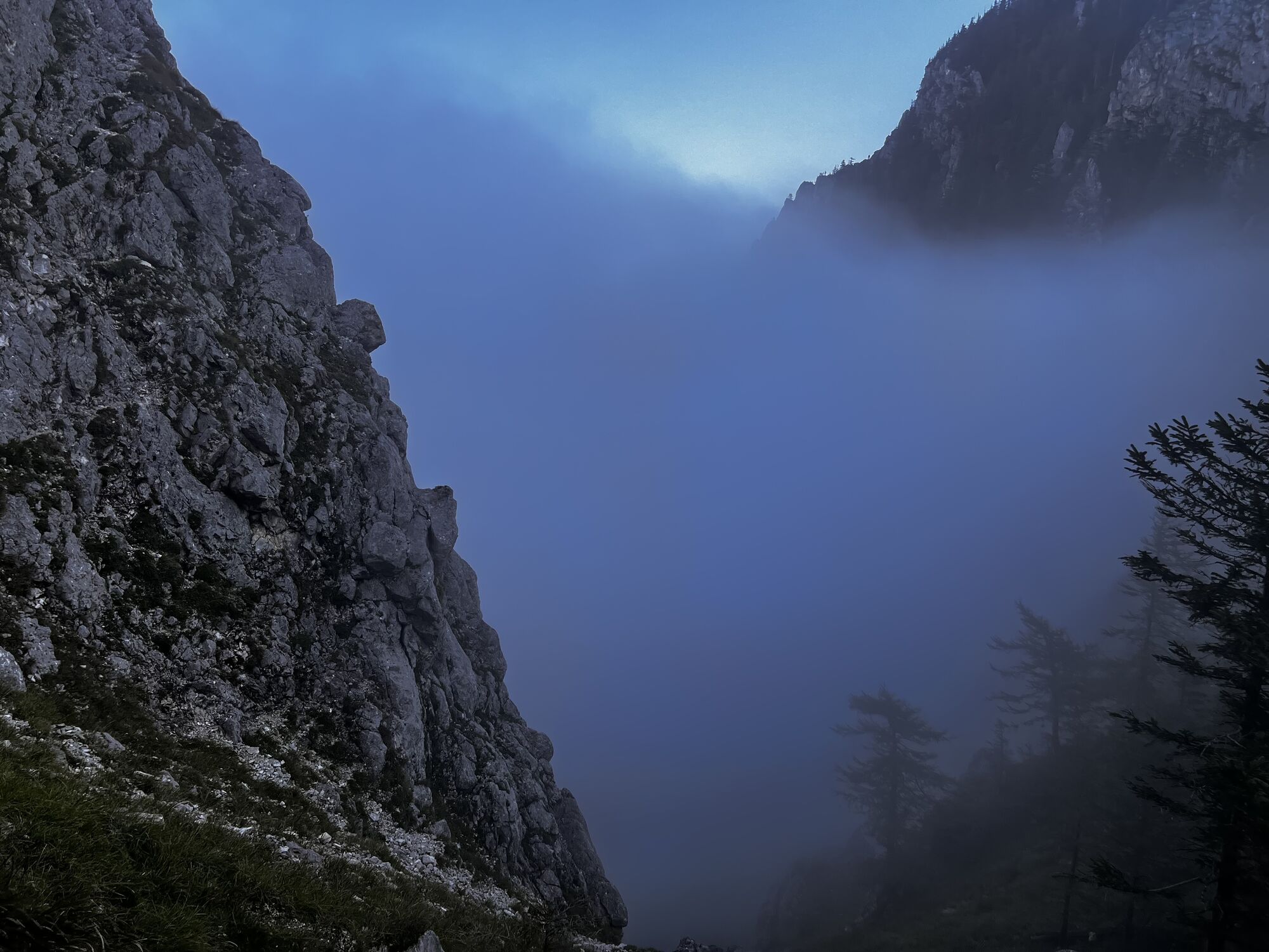
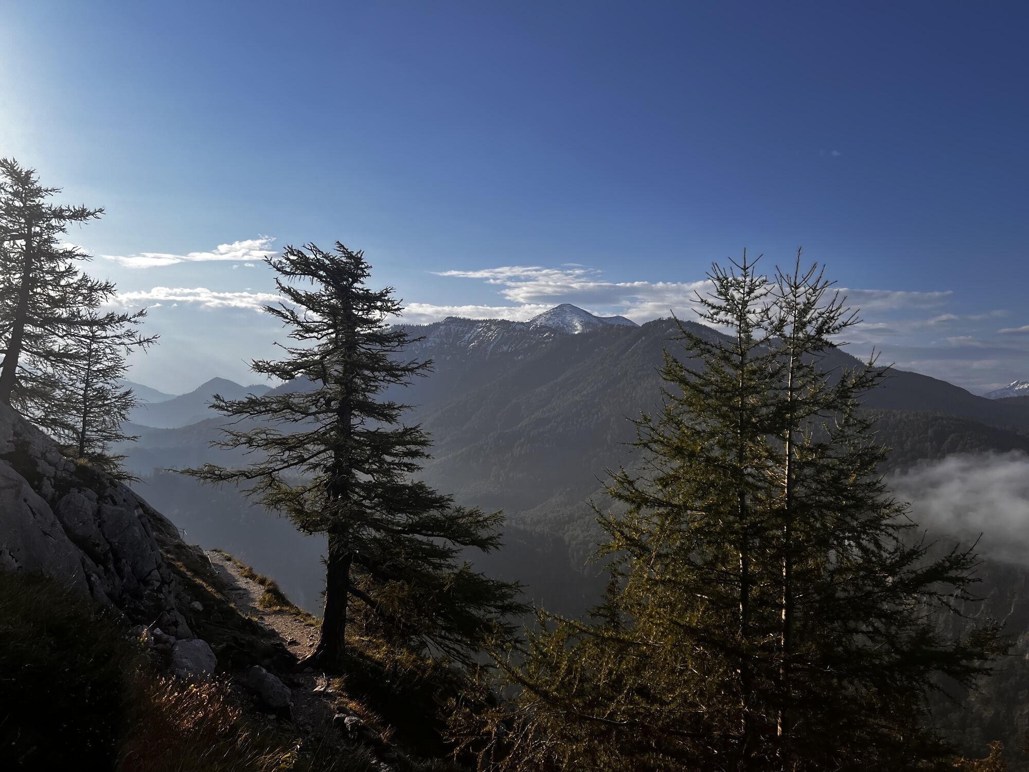
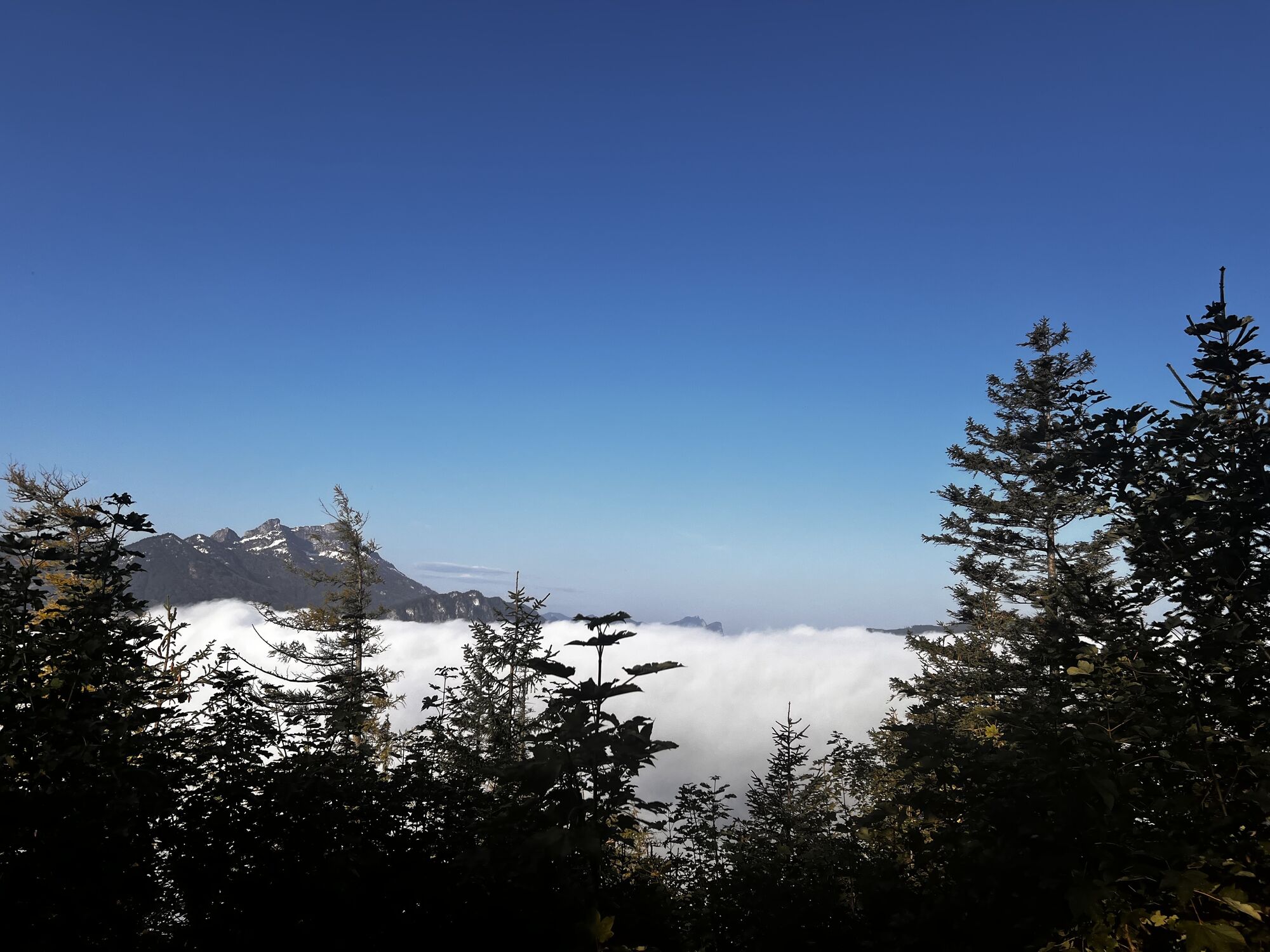
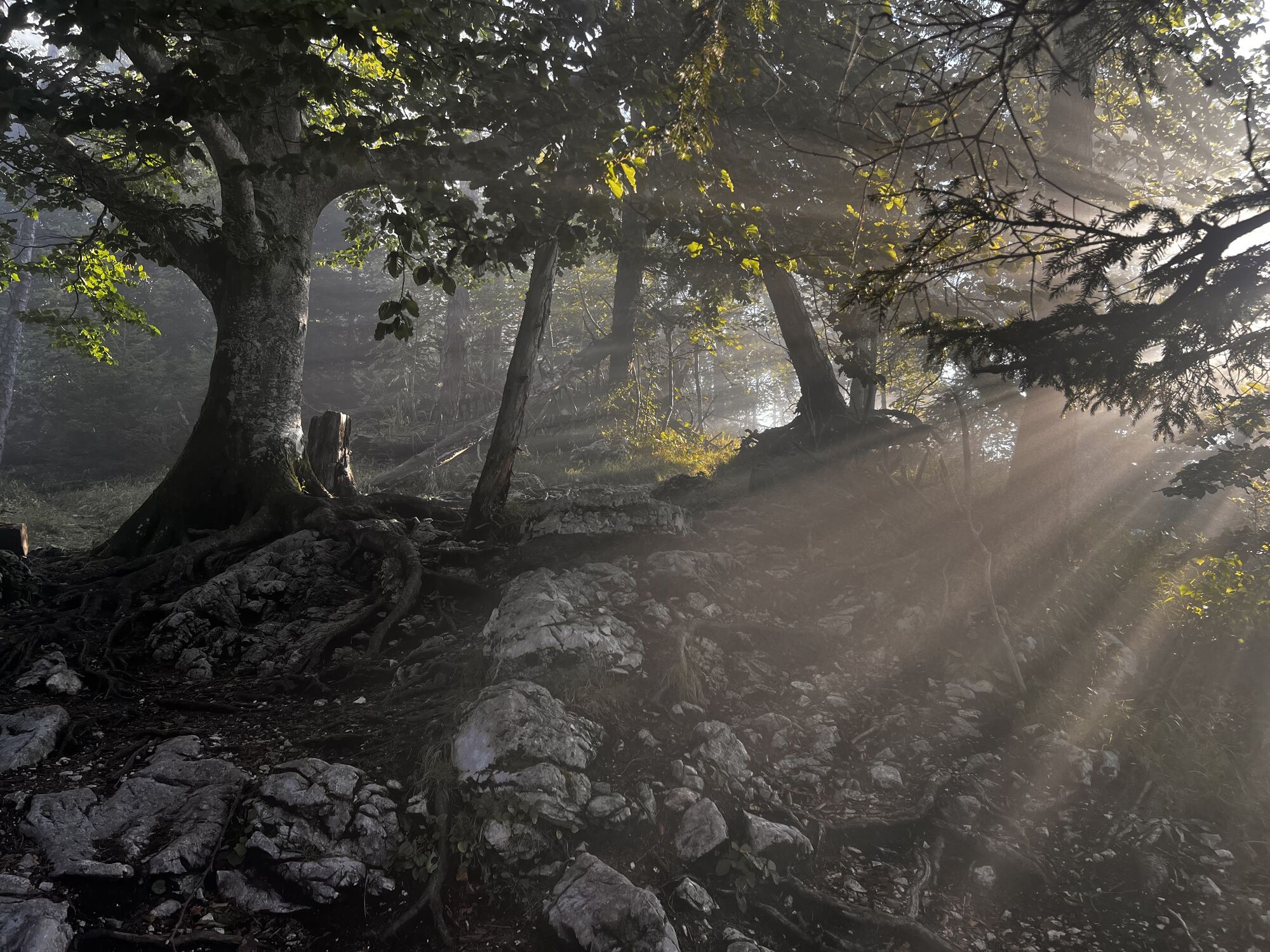
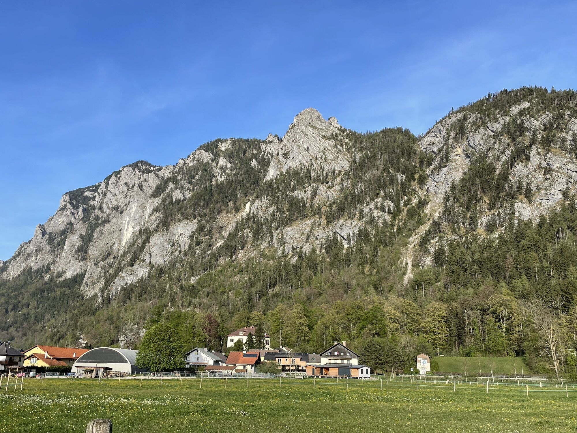
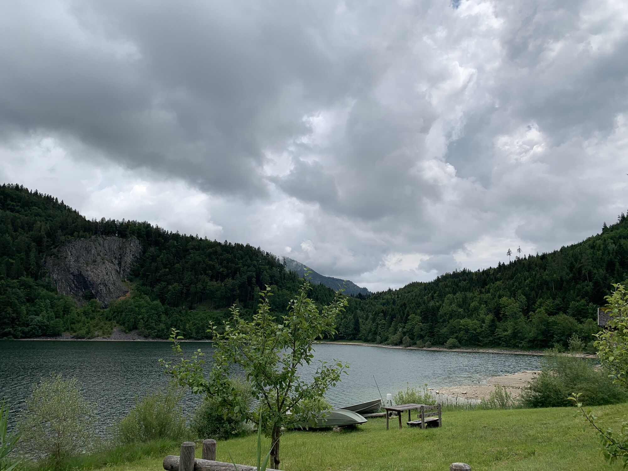
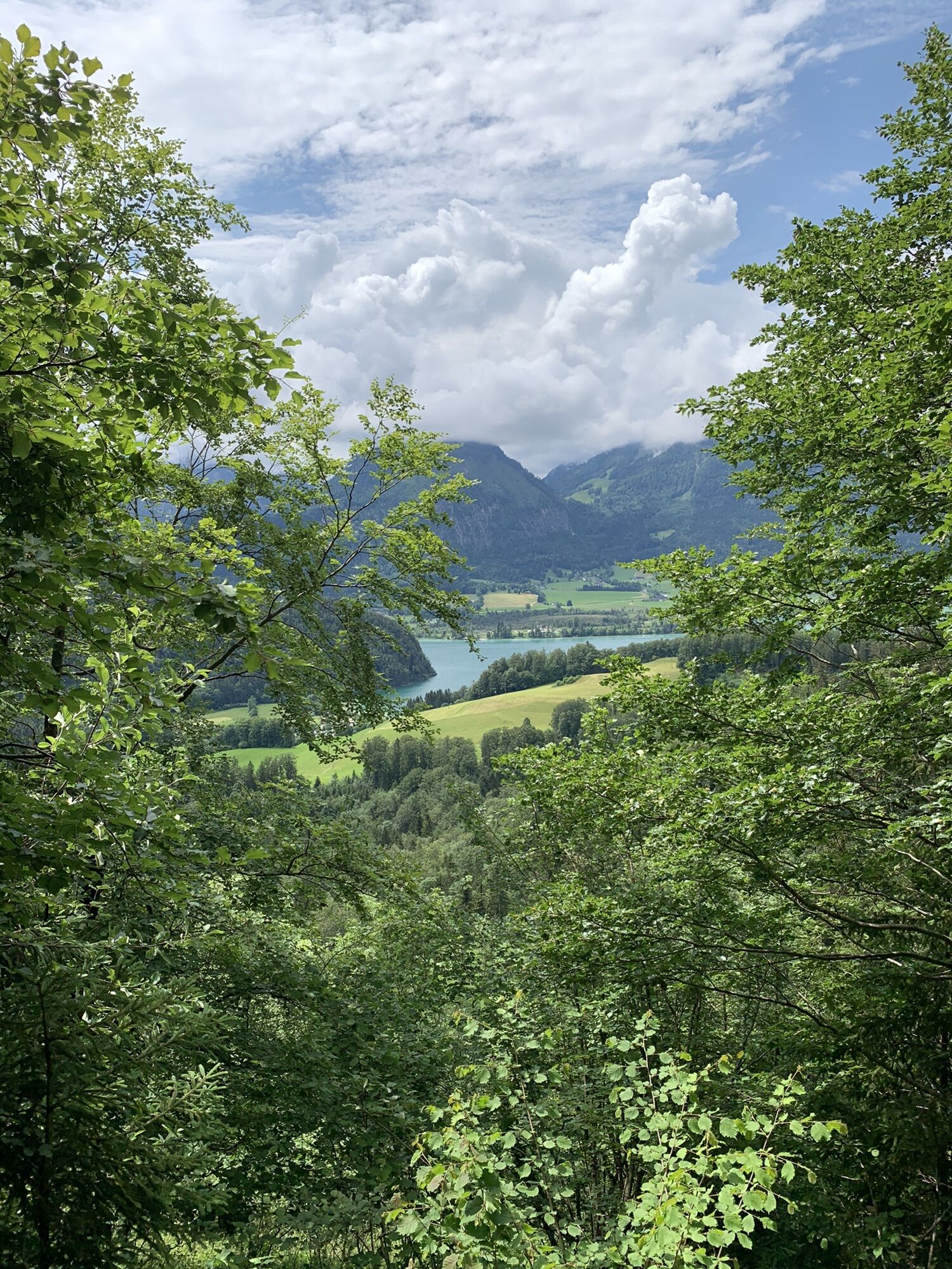
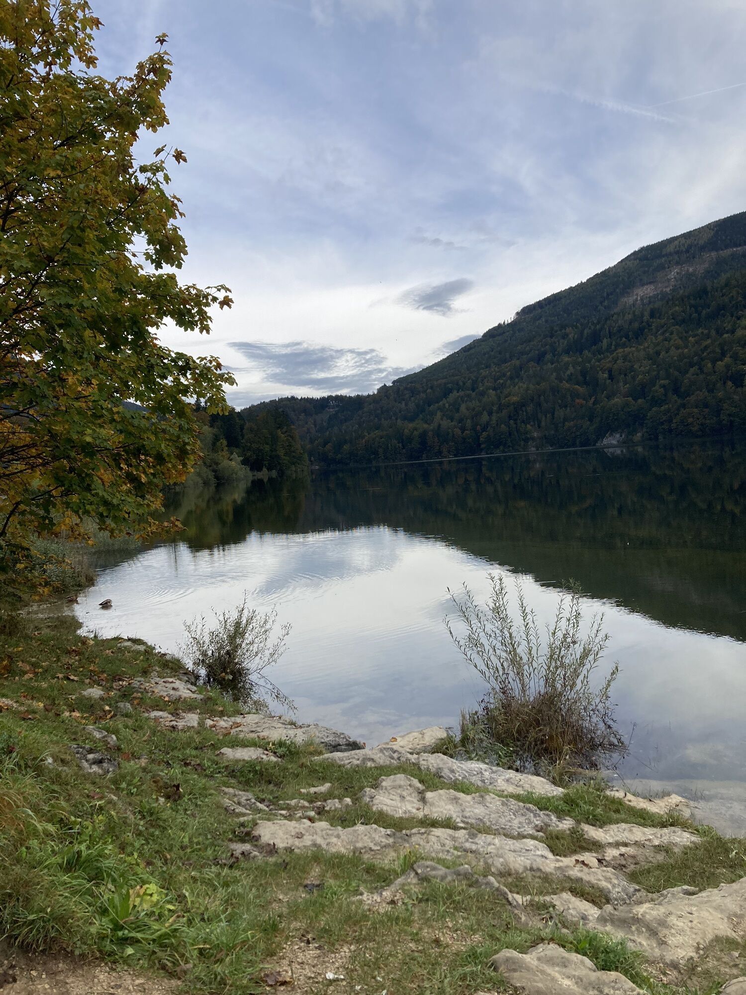
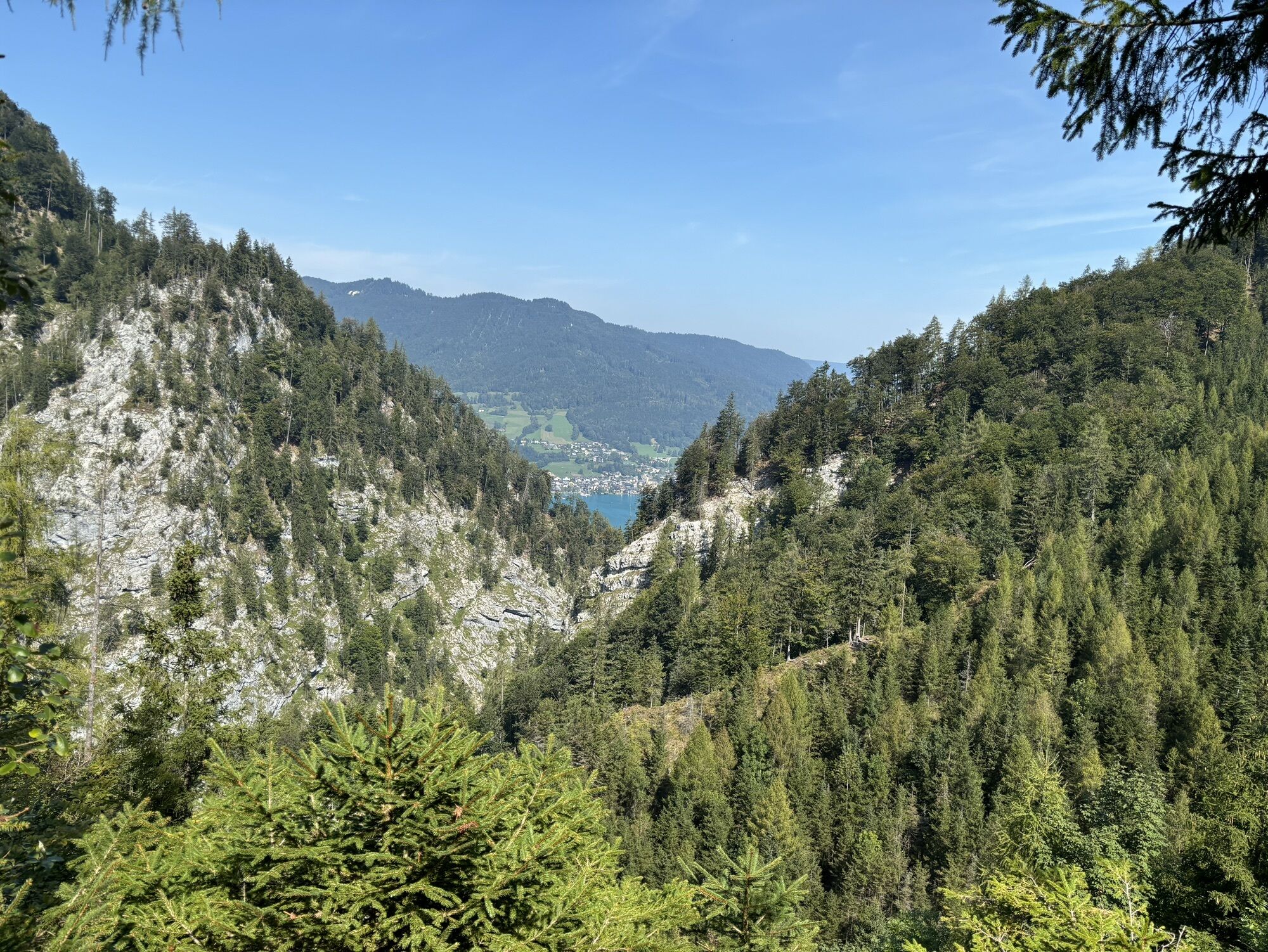
The 3rd stage of the Salzkammergut BergeSeen Trail leads into the heart of the region – from the Attersee over the quiet heights around the Schwarzensee to the Wolfgangsee.

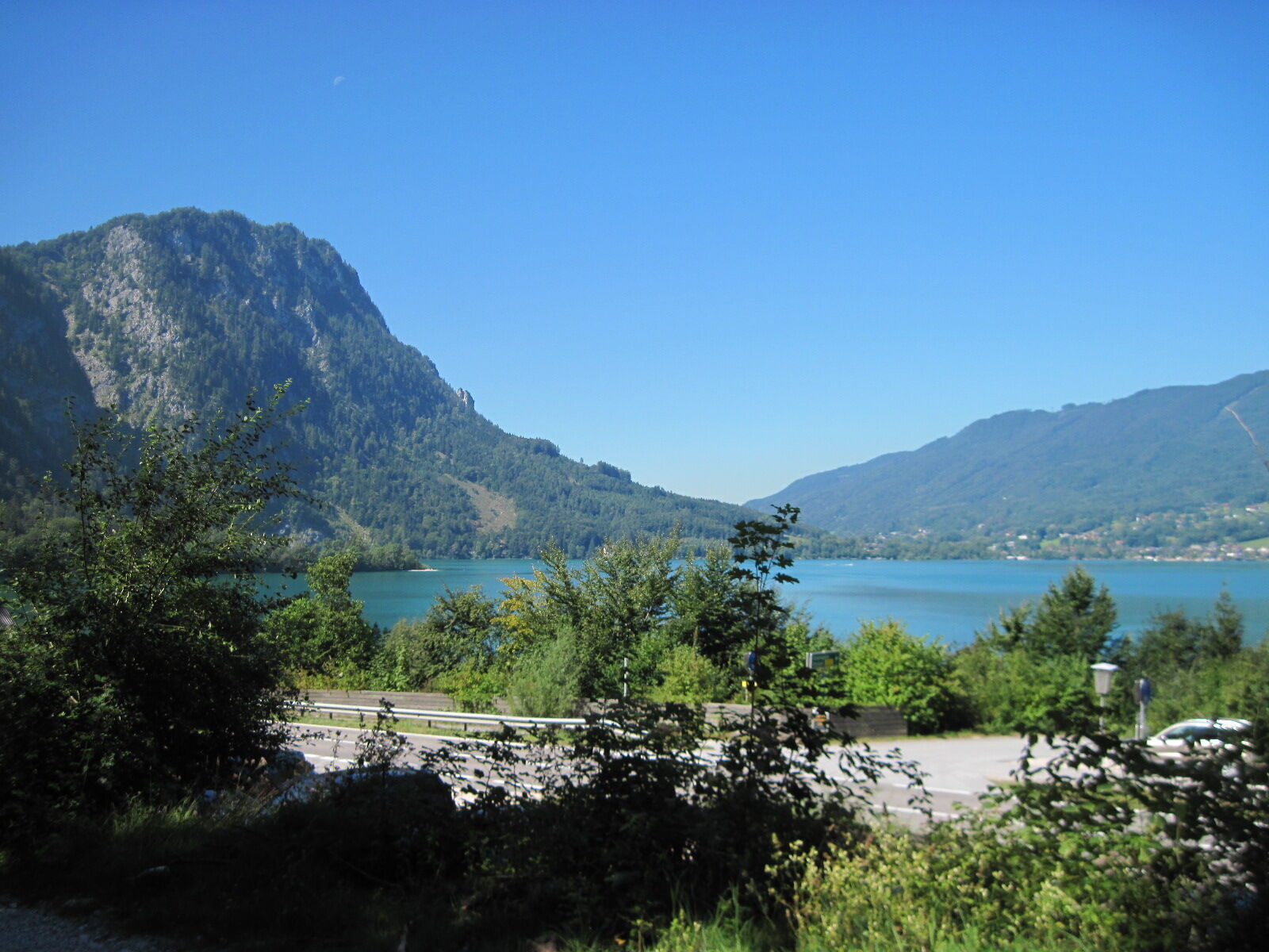
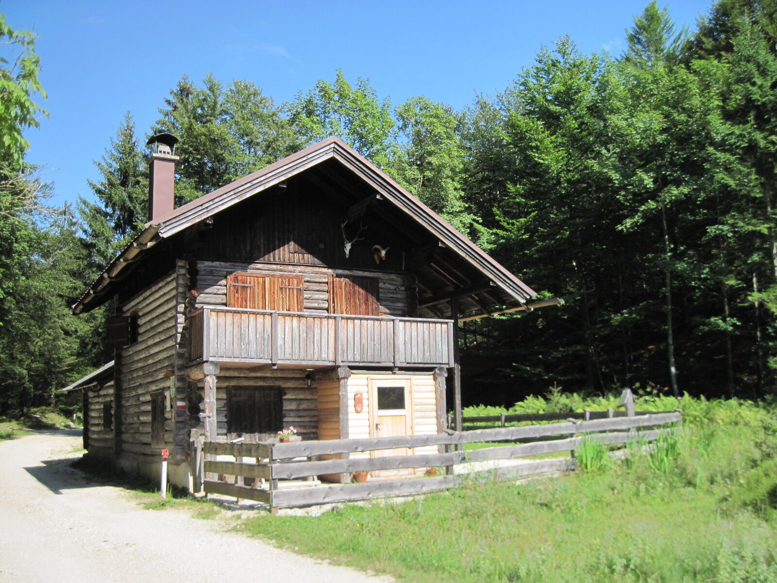
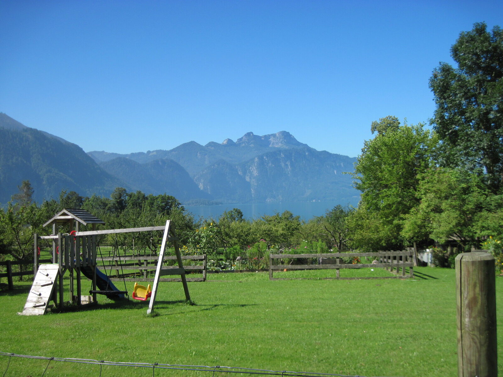
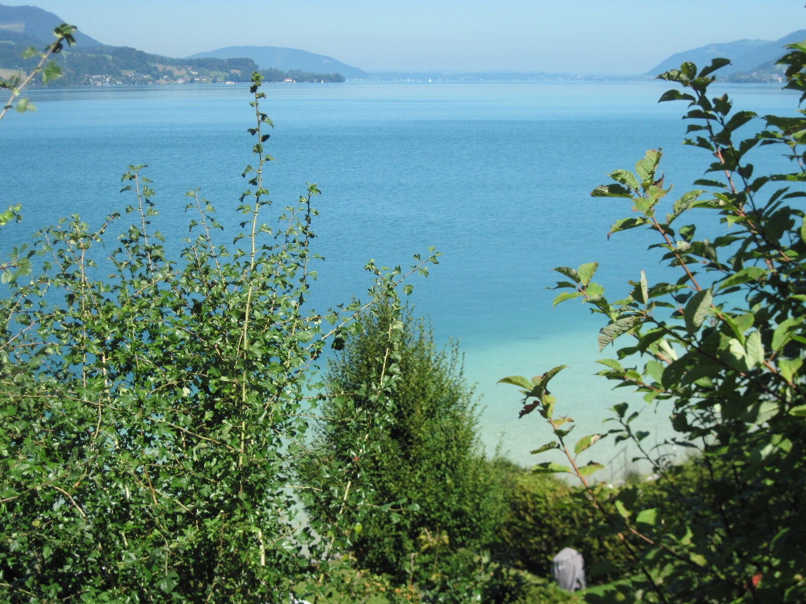
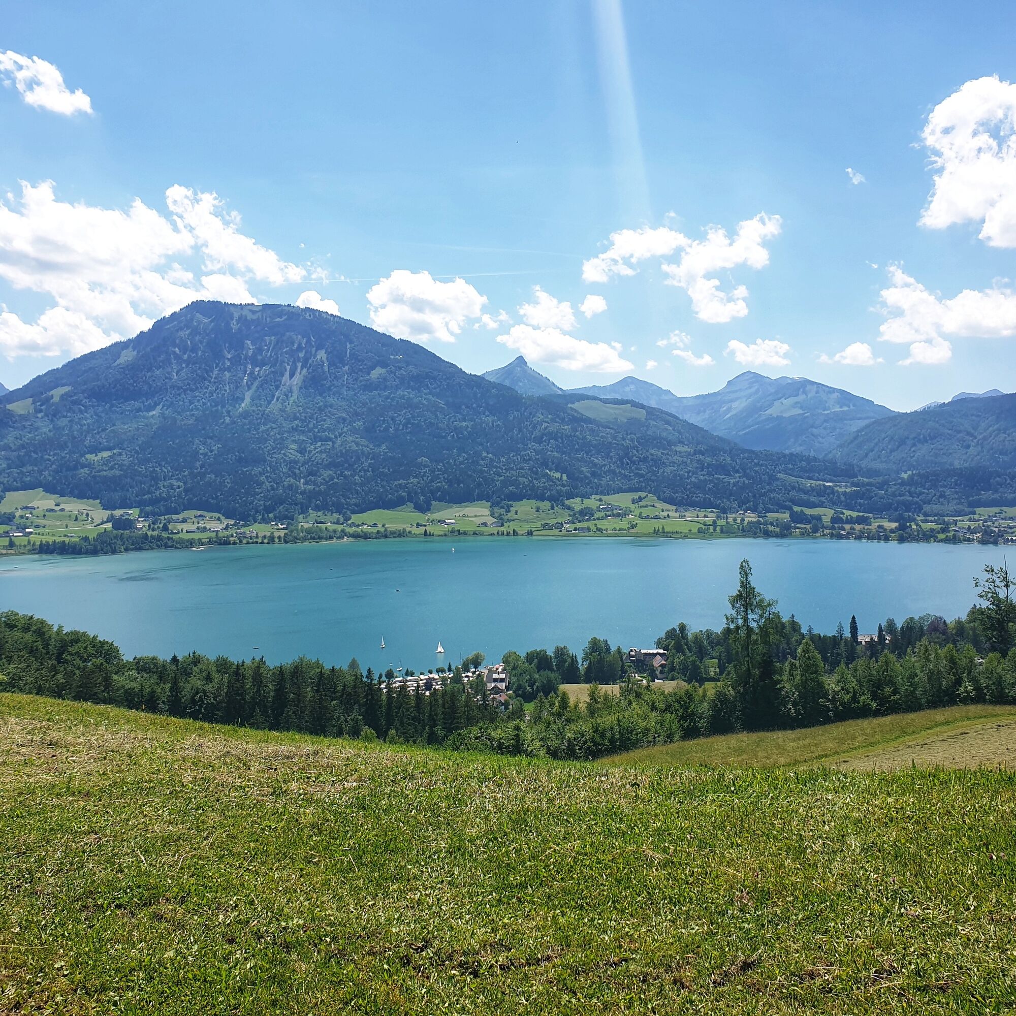

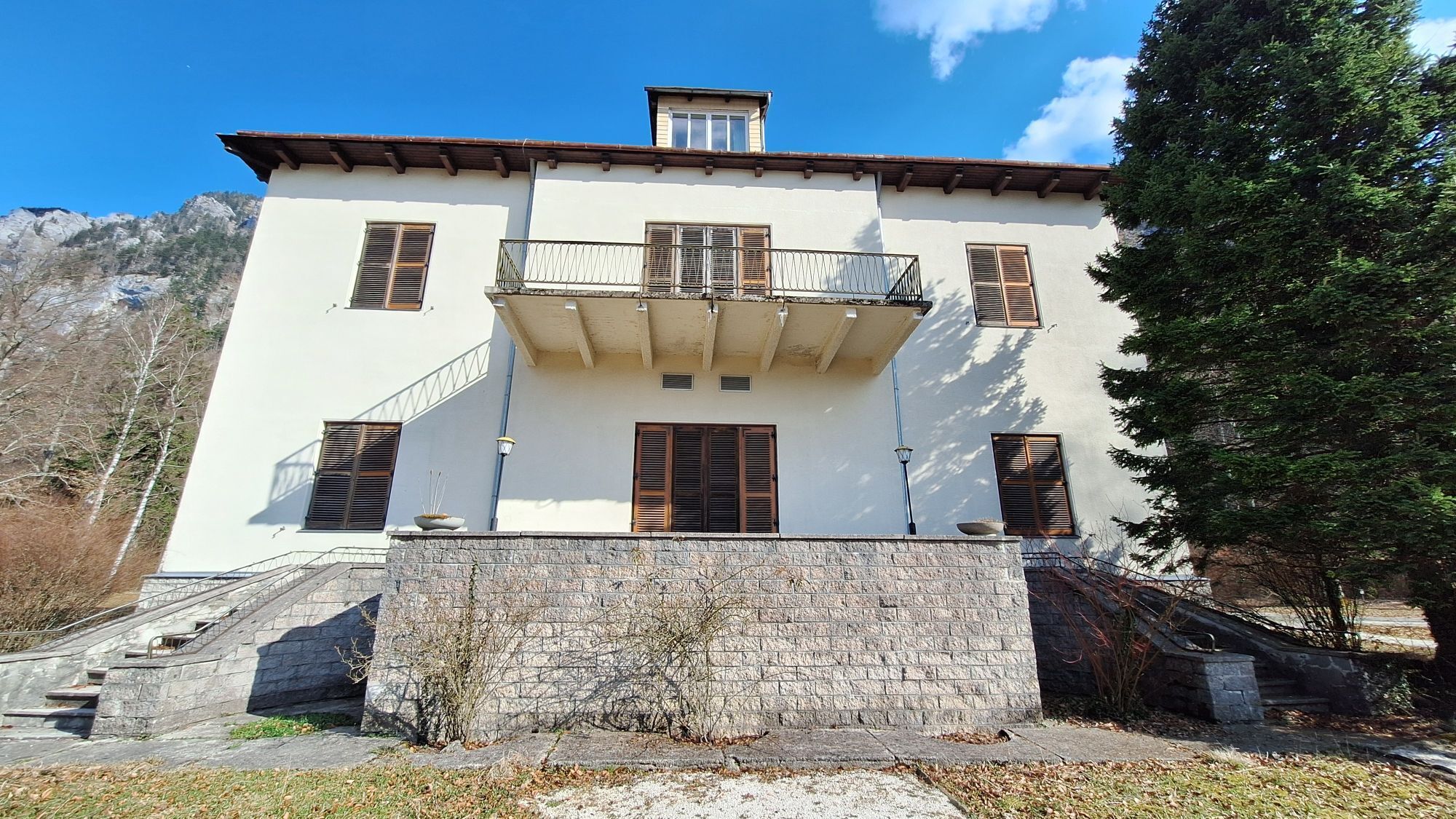
From the tourist office in Steinbach am Attersee, walk next to the elementary school to the nearby Großalmstraße, which you cross. Straight ahead after the signpost "Nikoloweg" and from the following fork turn left on the Ernst-Bitterlich-Weg. Keeping right, you reach through the Dürrenbachgraben to a meadow where the narrow Nikoloweg branches off to the right. It leads in gentle ups and downs through forest slopes, has steps at one point, and crosses several forest roads, where you should always follow the signs towards Weißenbach. After 45 minutes, walk straight above the forestry office over the Brennerriesensteig and then ascend slightly. After another fork, go into the steep protective forest area below the Höllengebirge, past a rest area and the junction of the Attersee climbing path. The path secured with railings leads through a rock face. You descend via a metal staircase and pass a short section secured with a steel cable. After protective walls against rockfall, a path leads down to the federal road on the right. Straight ahead you come to the nearby St. Nikolaus Chapel. From there, turn sharply right a few steps to a villa and on the right – past a huge European beech – back to Hotel Post in Weißenbach am Attersee (470 m). Bus stop and boat dock at the federal road. 1:30 h
From the nearby road junction, go towards Unterach, shortly afterwards turn right onto the Friedrich-Gulda-Weg and finally follow the federal road (sidewalk) again over the Weißenbach bridge to the shore of the Attersee (which now forms the border to the state of Salzburg). Follow the bike and footpath beside the road to a parking lot. Immediately afterwards, the sign "Eisenau, Schwarzensee, St. Wolfgang" points to the left – there you cross the road to the fork of a forest road.
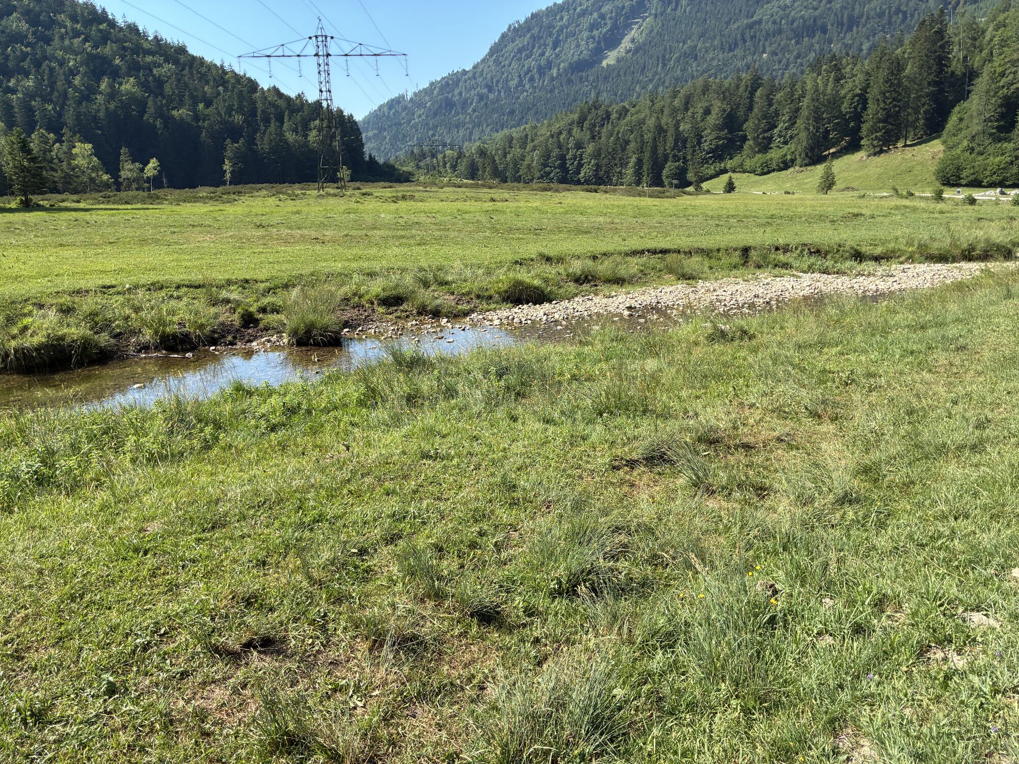
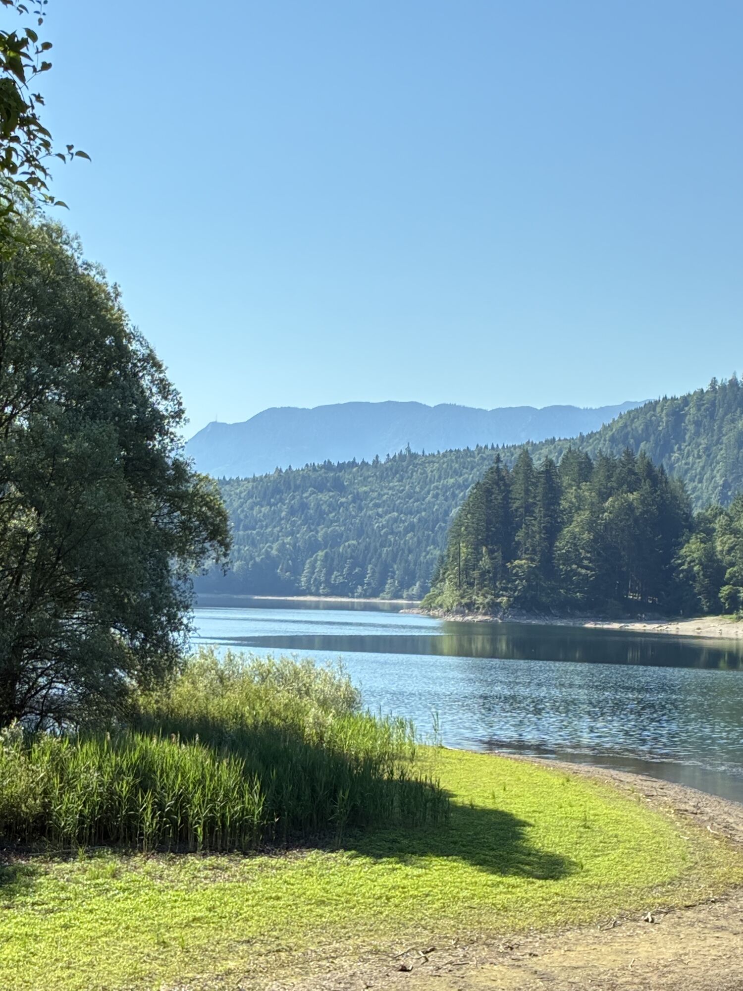
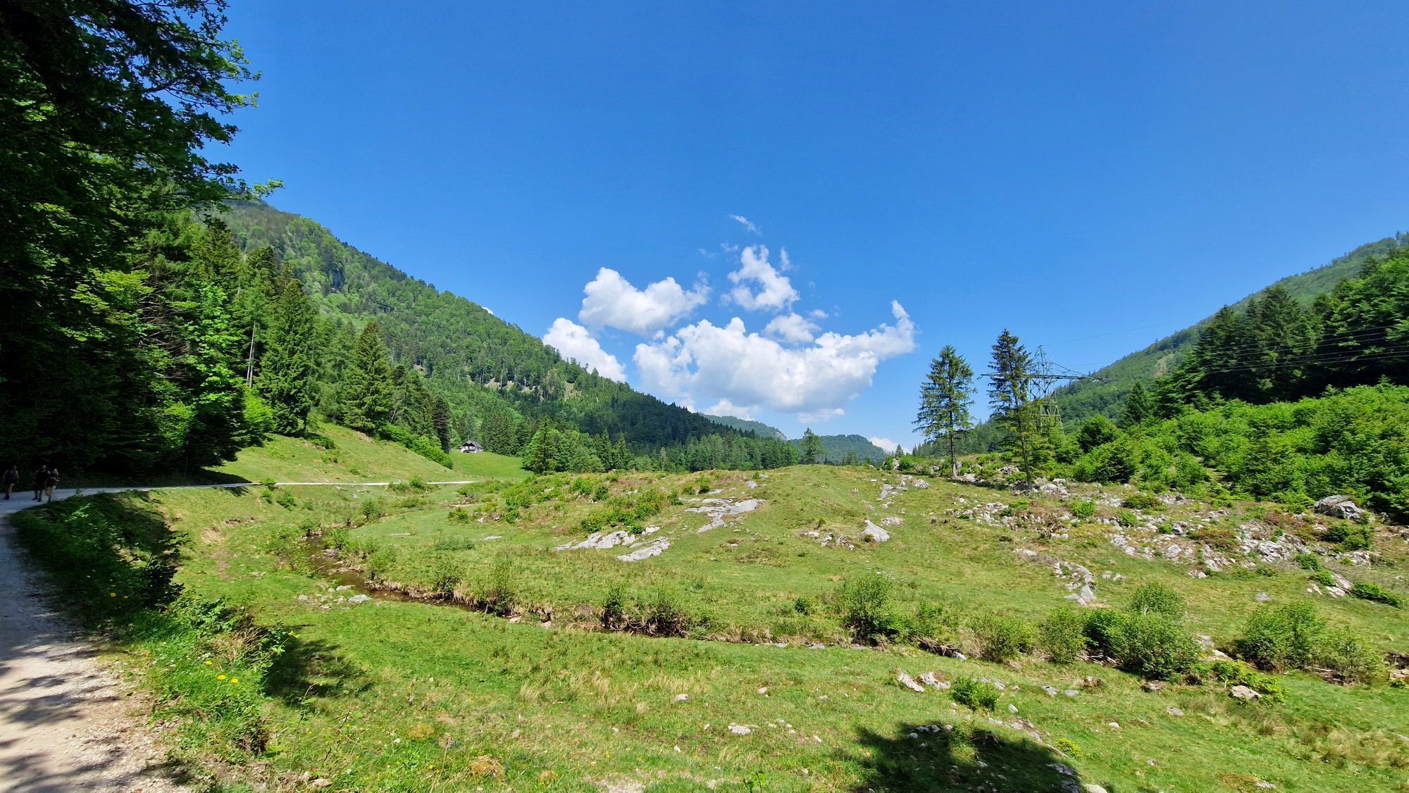
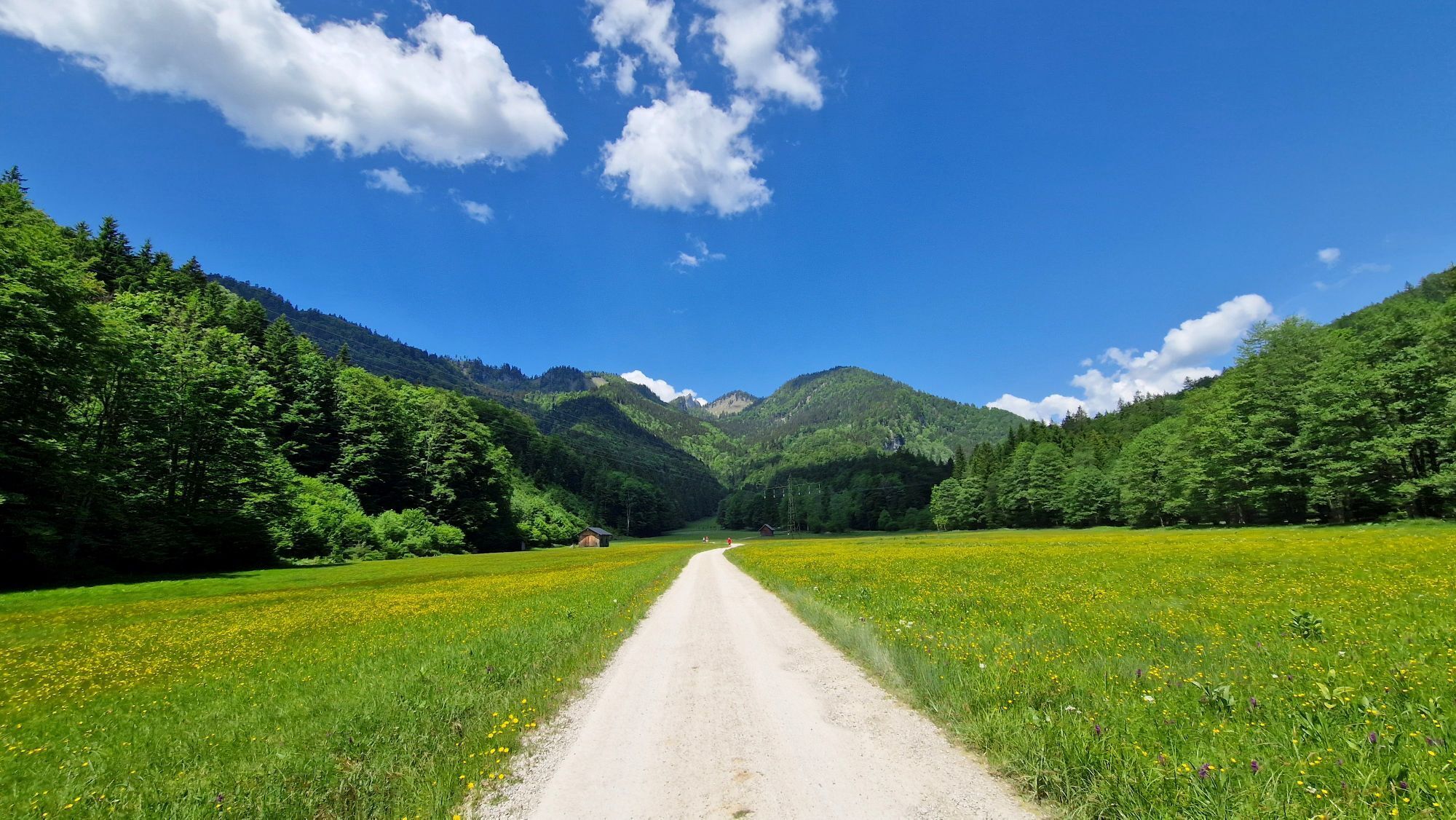
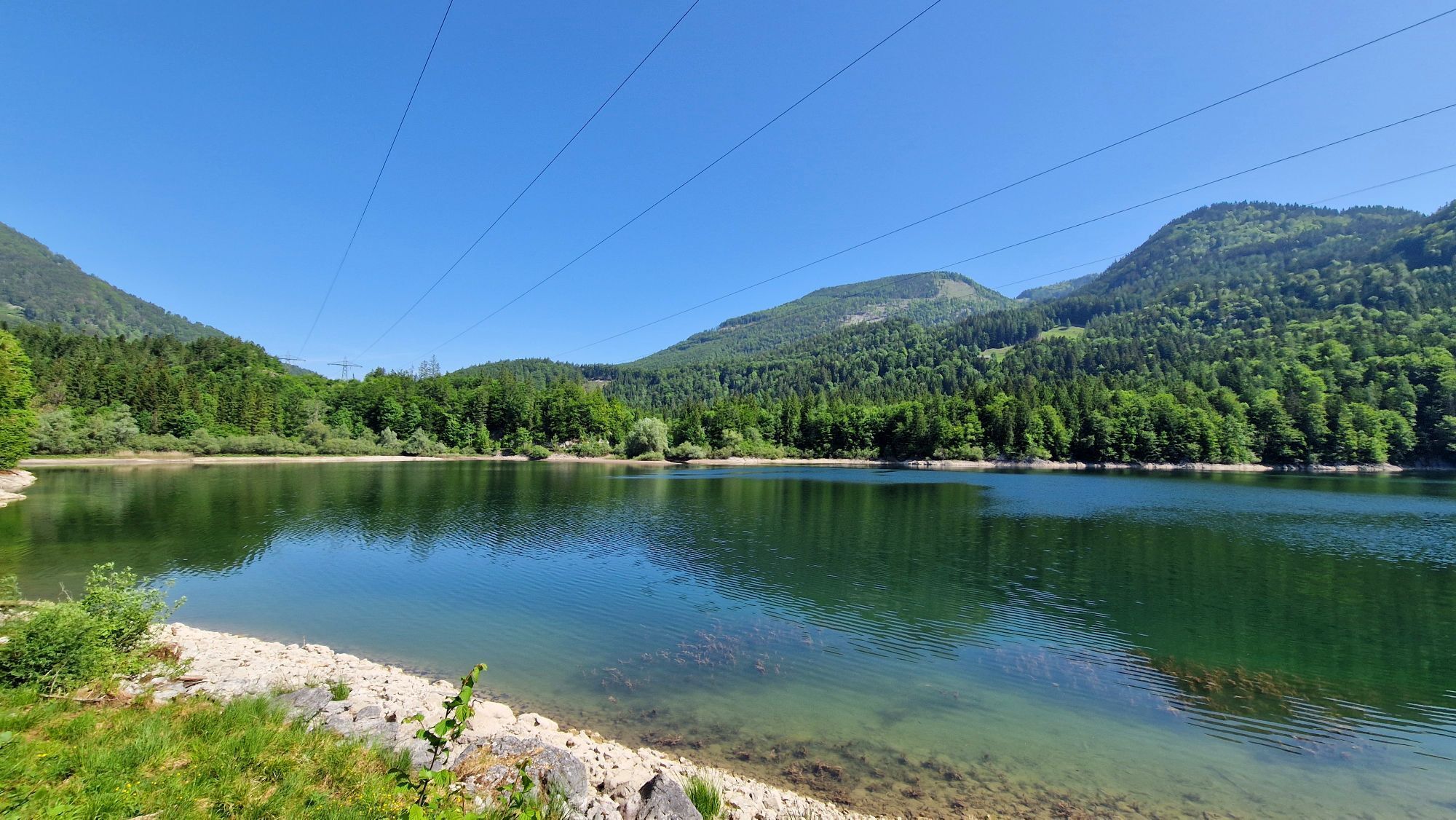
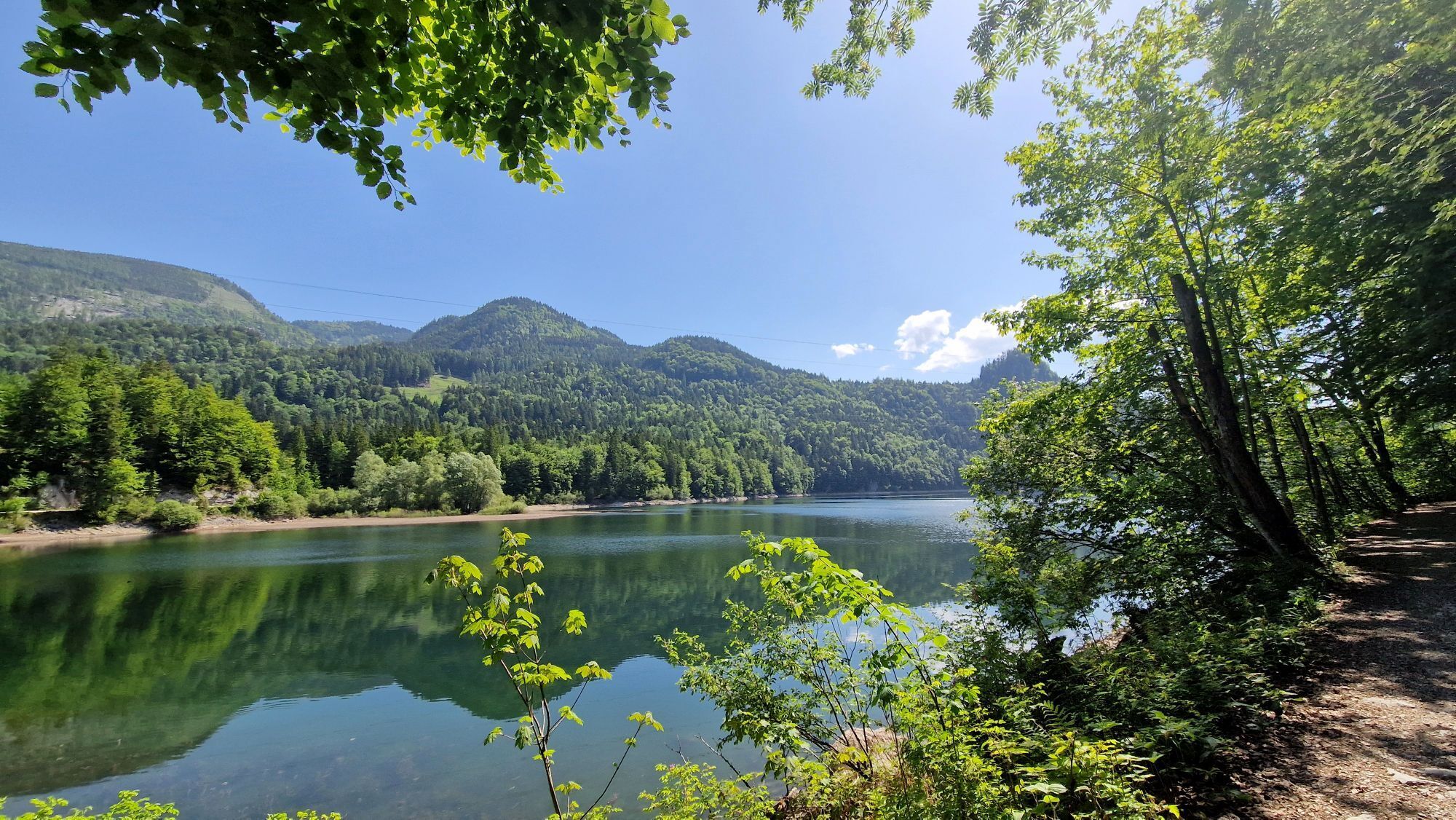
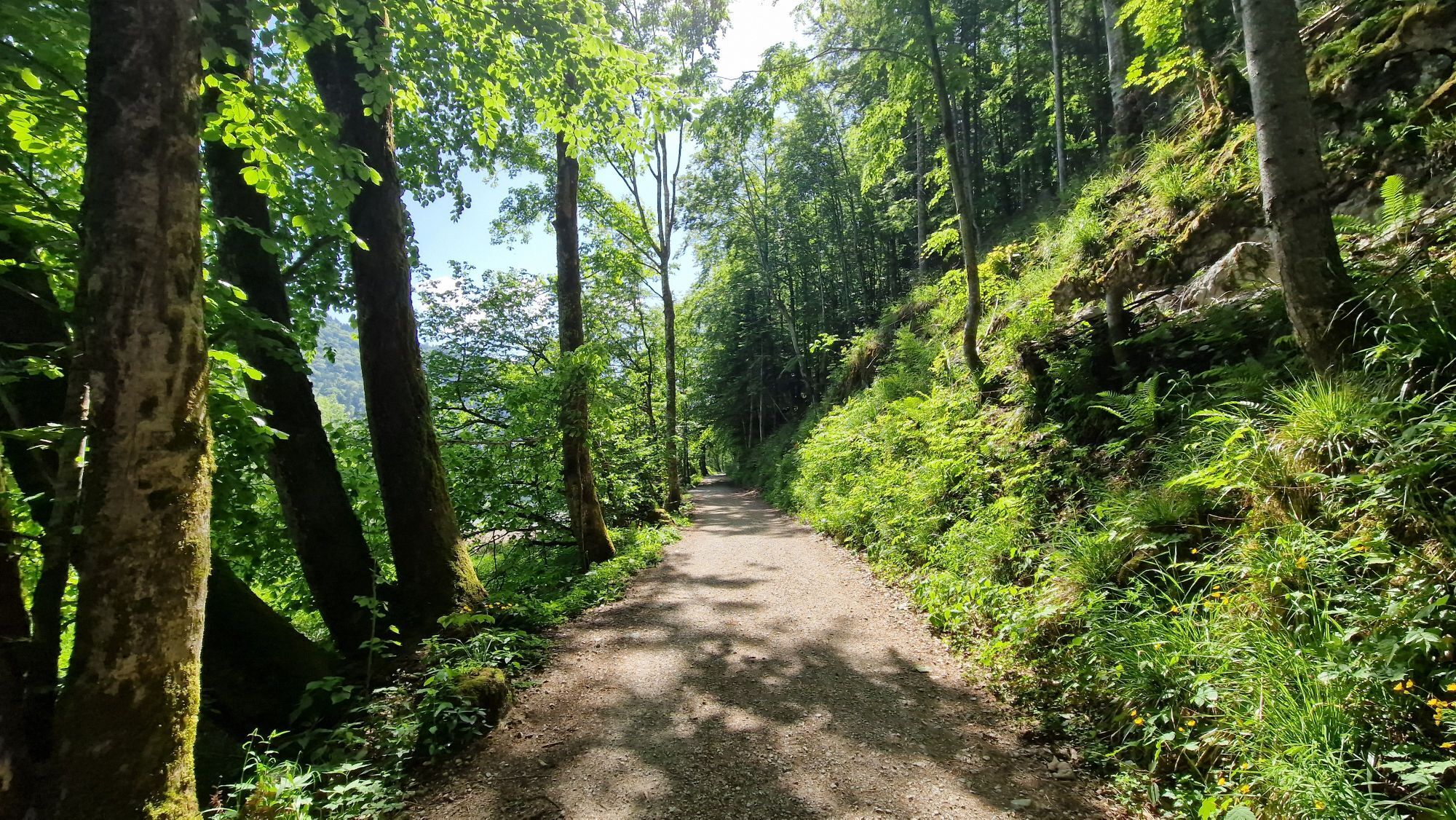
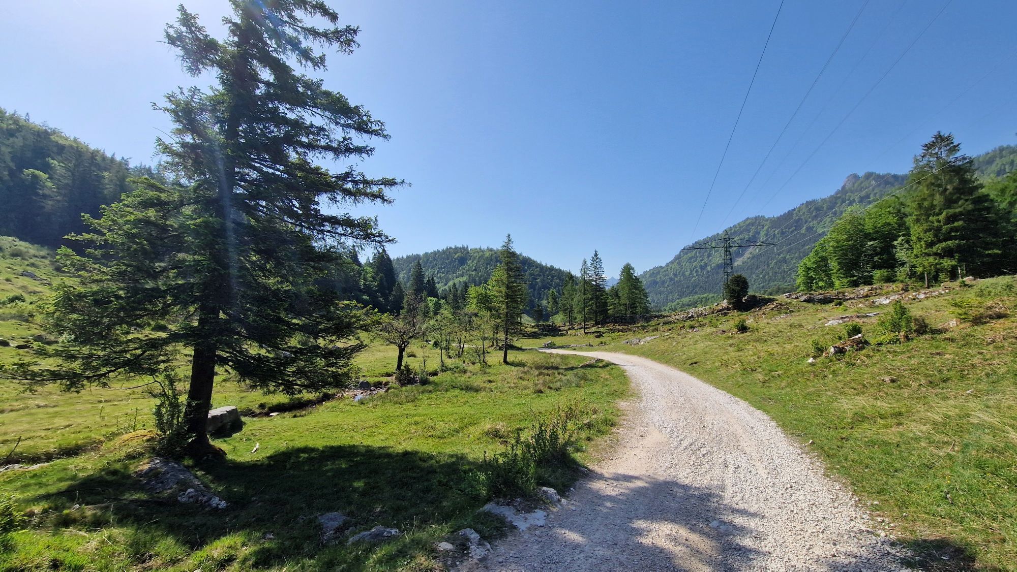
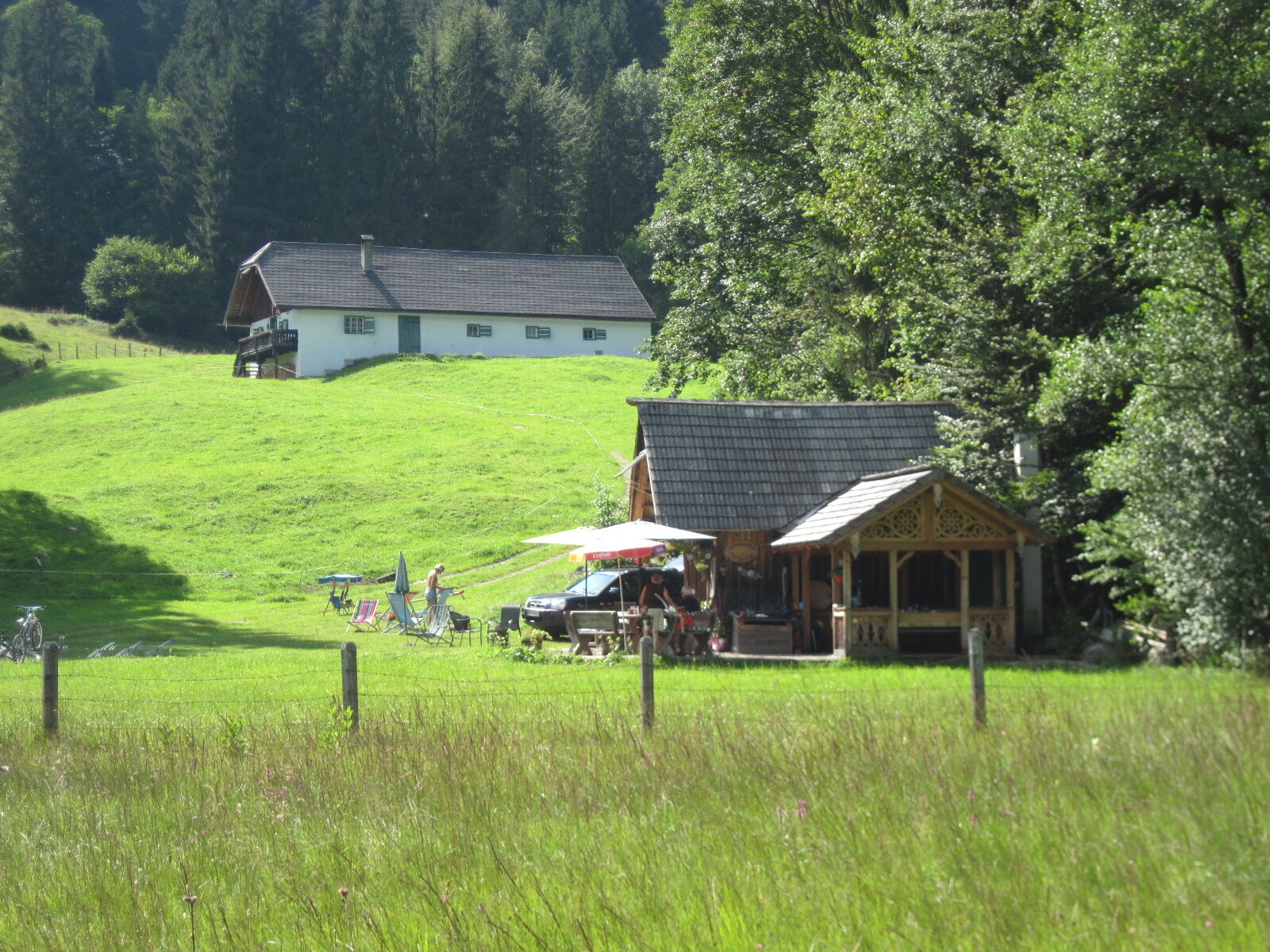
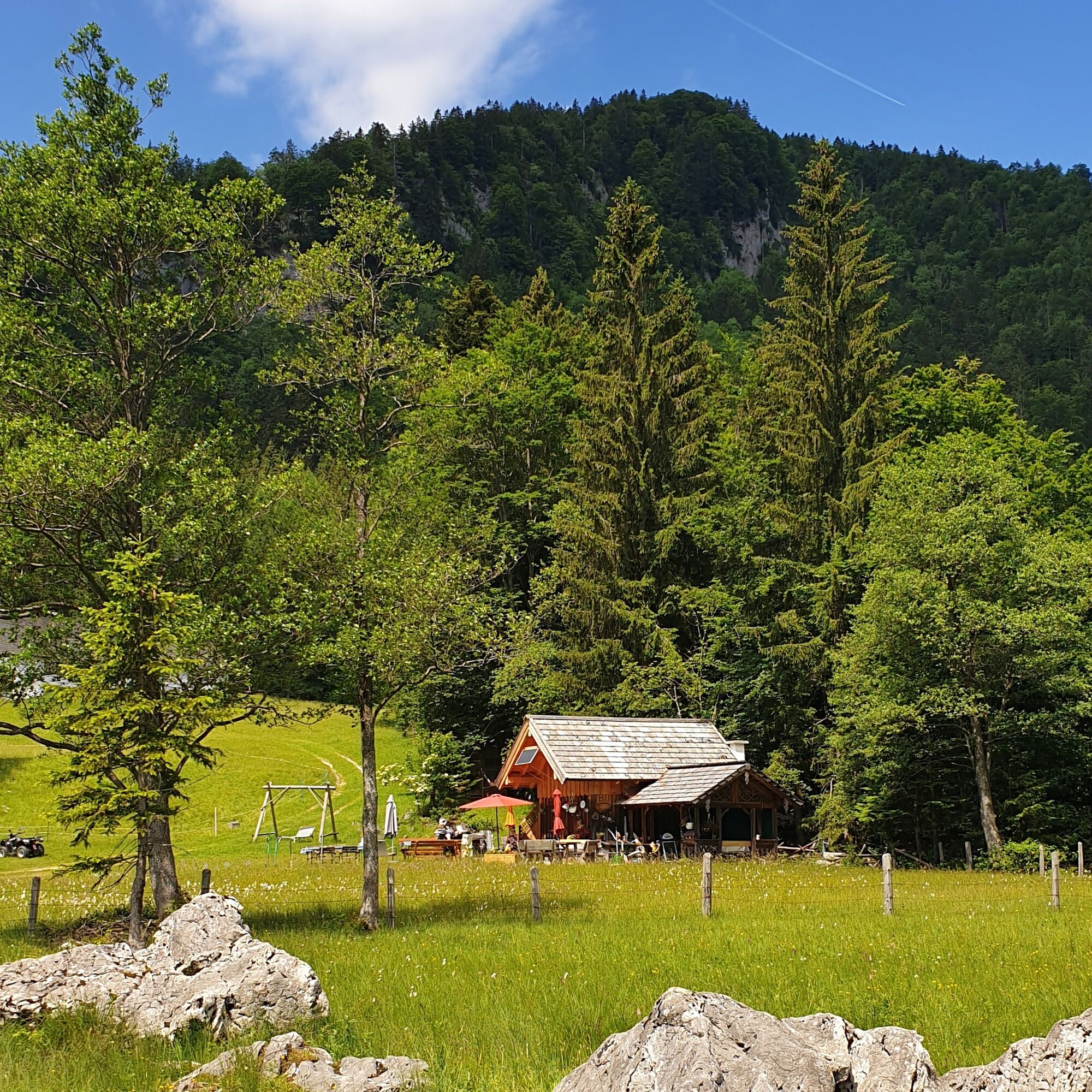
Now go up the gravel road – following the markings of the long-distance trails 04 and 06 – towards "Eisenau, Schwarzensee." In hairpin bends, hike through forest slopes uphill, stay right at a fork, and reach the area of the old Lasseralm. Next to the brook of the same name, continue ascending until you pass over a saddle at 800 m altitude into a gully and come to the Moosalm (772 m), again located in the state of Upper Austria. The forest road branching off to the left leads past the Moosbach and a power line past the wetlands near the Gschwandtner hut to the Schwarzensee (716 m). From the north end of the lake, hike right along the shore to the inns "Zur Lore" and "Almstadl," which invite you to stop for a break. 5:00 h
At the Almstadl, branch off onto the saddle path (No. 28) towards St. Wolfgang. Ascending beside the Schwarzenbach and through the forest, you reach a meadow; shortly afterwards, the saddle (800 m) on the Strubeck is crossed. On the descent, you pass the small Maurus chapel with its striking roof. Keeping right, you soon reach the Jausenstation Holzerbauer and thus the next refreshment opportunity. On the right, follow path no. 28 downhill through the forest to the first houses of St. Wolfgang. Continue straight, slightly uphill to "Ahornplatz," then turn left downhill towards Wolfgangsee, finally keeping right to the market square of St. Wolfgang (548 m).
In front of the eastern portal of the bypass tunnel is the information office of Wolfgangsee Tourism; bus stop and boat dock are in the nearby center of the market. 1:30 h
For all stages, you need hiking or mountain boots with profiled rubber soles as well as wind- and rainproof clothing.
Spare clothes for changing and a small first-aid kit should also be in your backpack. How much provision you pack depends on the number of refreshment stops. In any case, you should take enough to drink. Telescopic poles are especially helpful when going downhill.
In case of threatening gestures (scratching, stamping), slowly step backwards (do not turn your back). Dogs must be on a leash; they are not allowed to bark at or chase cows. In case of an attack, you must definitely let them off the leash.
With kind permission to use the text by the KOMPASS publishing house and Wolfgang Heitzmann.
More information at trail.salzkammergut.at
Summit detour to the Großer Schoberstein (1,037 m)
Note: Bus connection (line 562)

Webové kamery z prohlídky
-
St. Wolfgang - Schafbergspitze
-
St. Wolfgang - Schafbergbahn Talstation
-
Strobl - Dorfplatz
-
Aichereben / Nussdorf am Attersee
-
Yacht Club Unterach
-
Hochleckenhaus
-
Bleckwandhütte
-
St. Wolfgang am Wolfgangsee - Hotel im Weissen Rössl
-
Seecamping Appesbach
-
Unterach am Attersee
-
Schafbergalm
-
Margarethengut/ Unterach am Attersee
-
Wolfgangsee - Lindenstrand
-
Radau/St.Wolfgang
Získejte přehled
Vždy živě na místě s více než 9 500 webkamerami. bergfex Jako uživatel Pro si nyní můžete zobrazit odpovídající webové kamery pro mnoho prohlídek v aplikaci prohlídky z. Můžete si tak přímo prohlédnout aktuální podmínky.

Oblíbené prohlídky v okolí
-
4.8
Fuschl: Ruine Wartenfels - Schober - Frauenkopf
středníTuristika 7.62 km -
4.4
Weißenbach am Attersee - Schoberstein
středníTuristika 3.31 km -
4.2
Pillstein Panorama Rundweg
světloTuristika 3.40 km -
4.7
Ebensee: Großer Höllkogel
středníTuristika 10.1 km -
3.7
Mondsee: Rund um den Mondsee
světloJízda na kole 26.3 km -
4.7
Pleasure hike over the Falkenstein
středníTuristika 9.81 km -
3.6
Unterach am Attersee: Hochplettspitz
Turistika 4.25 km -
4.6
The Plombergstein: Adventure and summit panorama
světloTuristika 4.12 km -
4.4
Kienesberg - Födinger Alm
světloTuristika 4.37 km -
4.4
Rund um den Wachtberg
světloTuristika 8.63 km
Pěší turistika a stopování


Nenechte si ujít nabídky a inspiraci pro vaši příští dovolenou
Vaše e-mailová adresa byl přidán do poštovního seznamu.





