


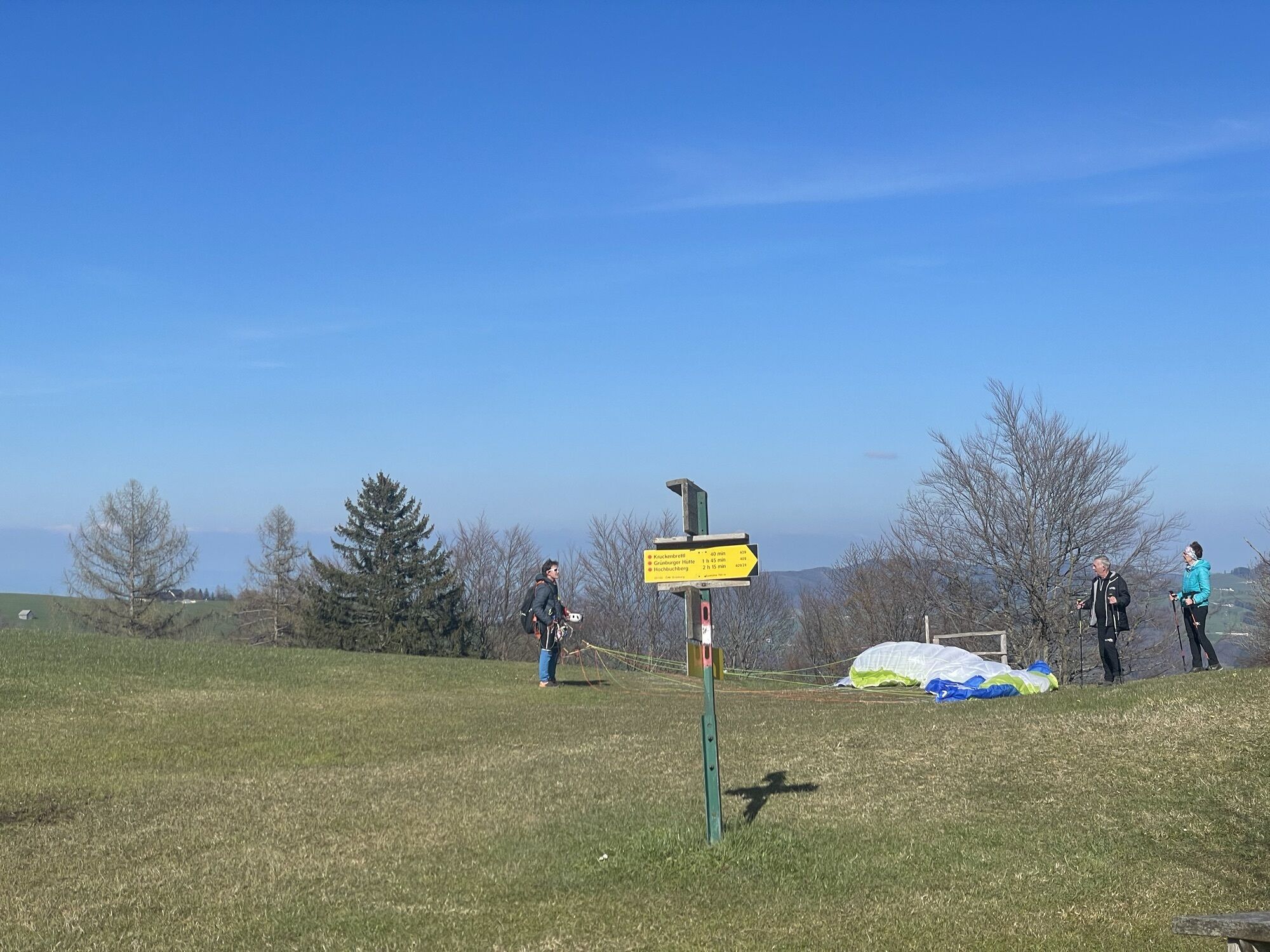
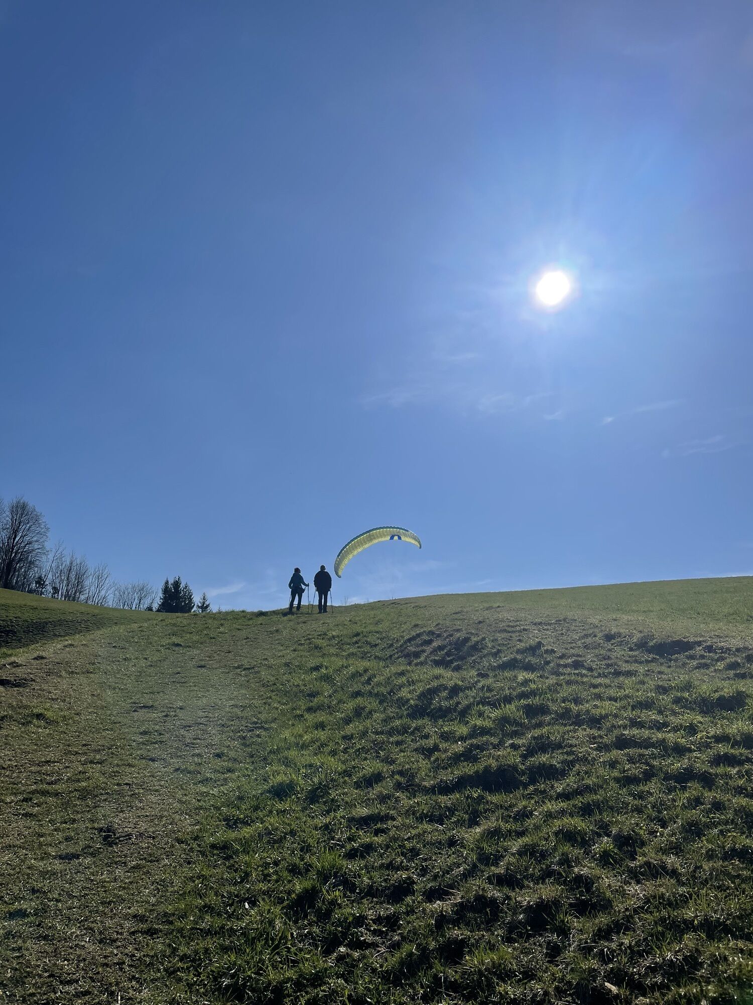
L1 Kruckenbrettl - Trail
Úroveň obtížnosti: T2


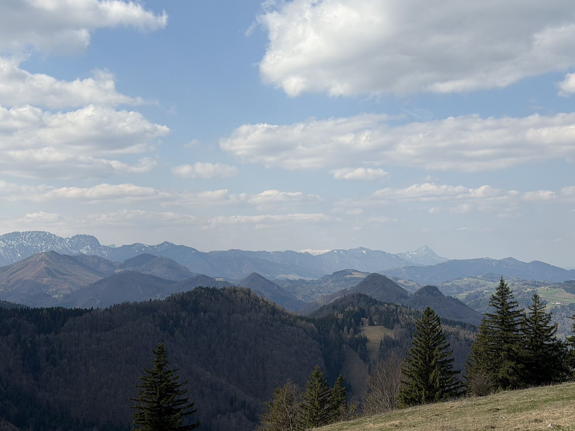
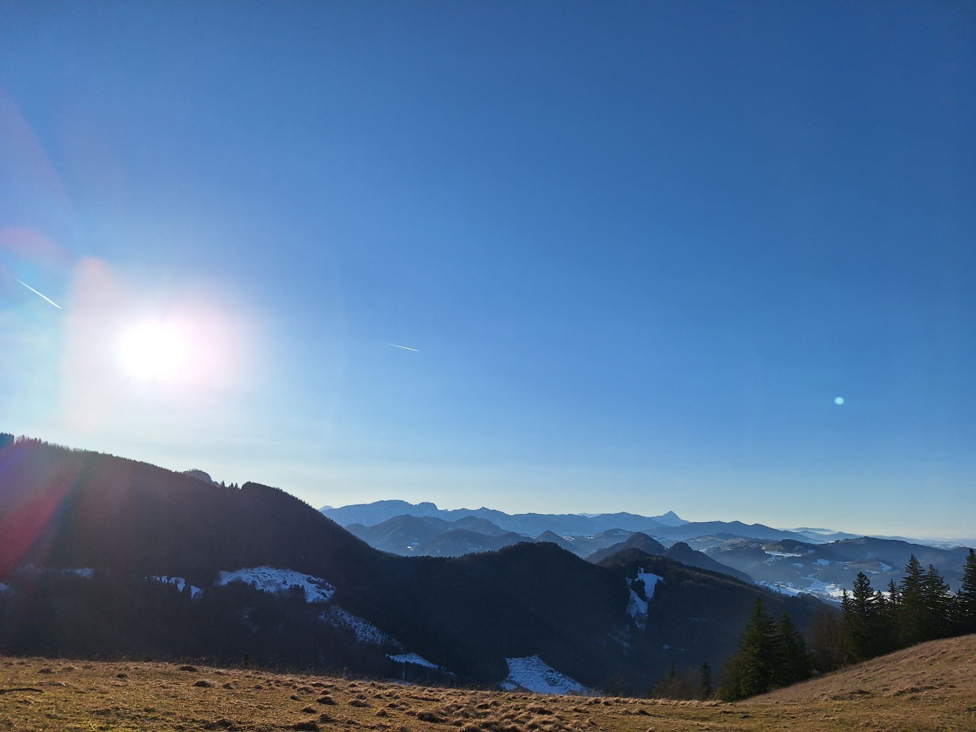
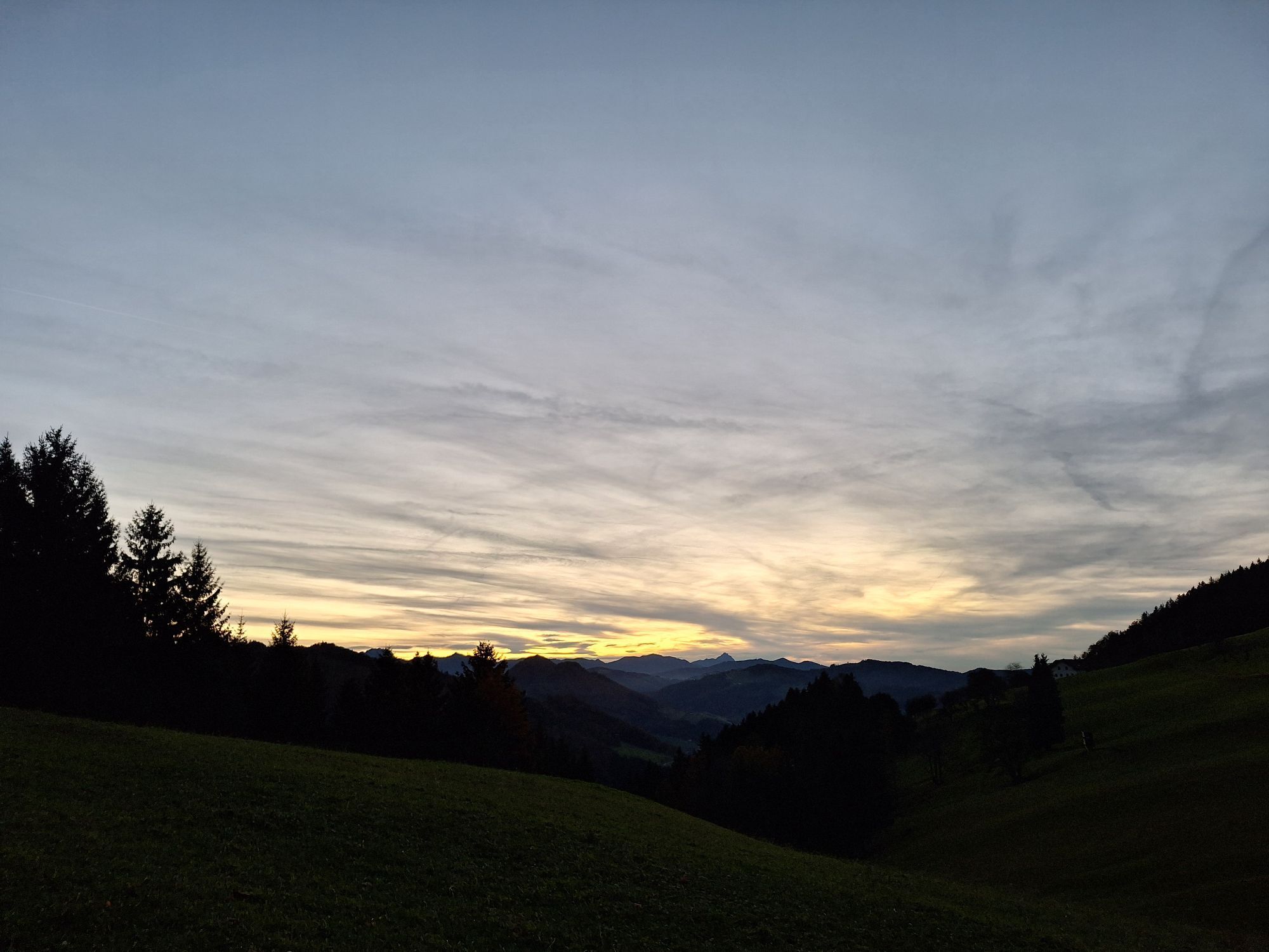
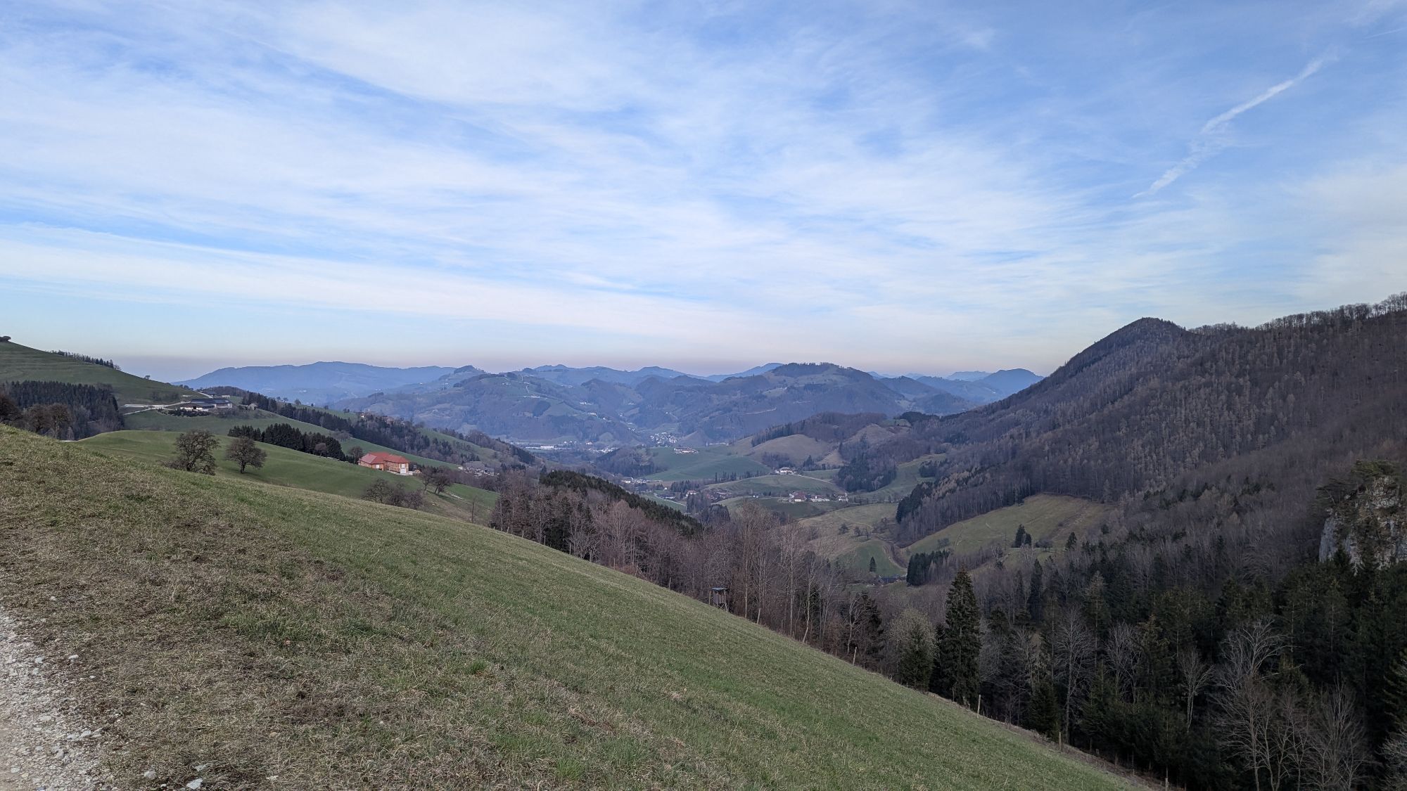
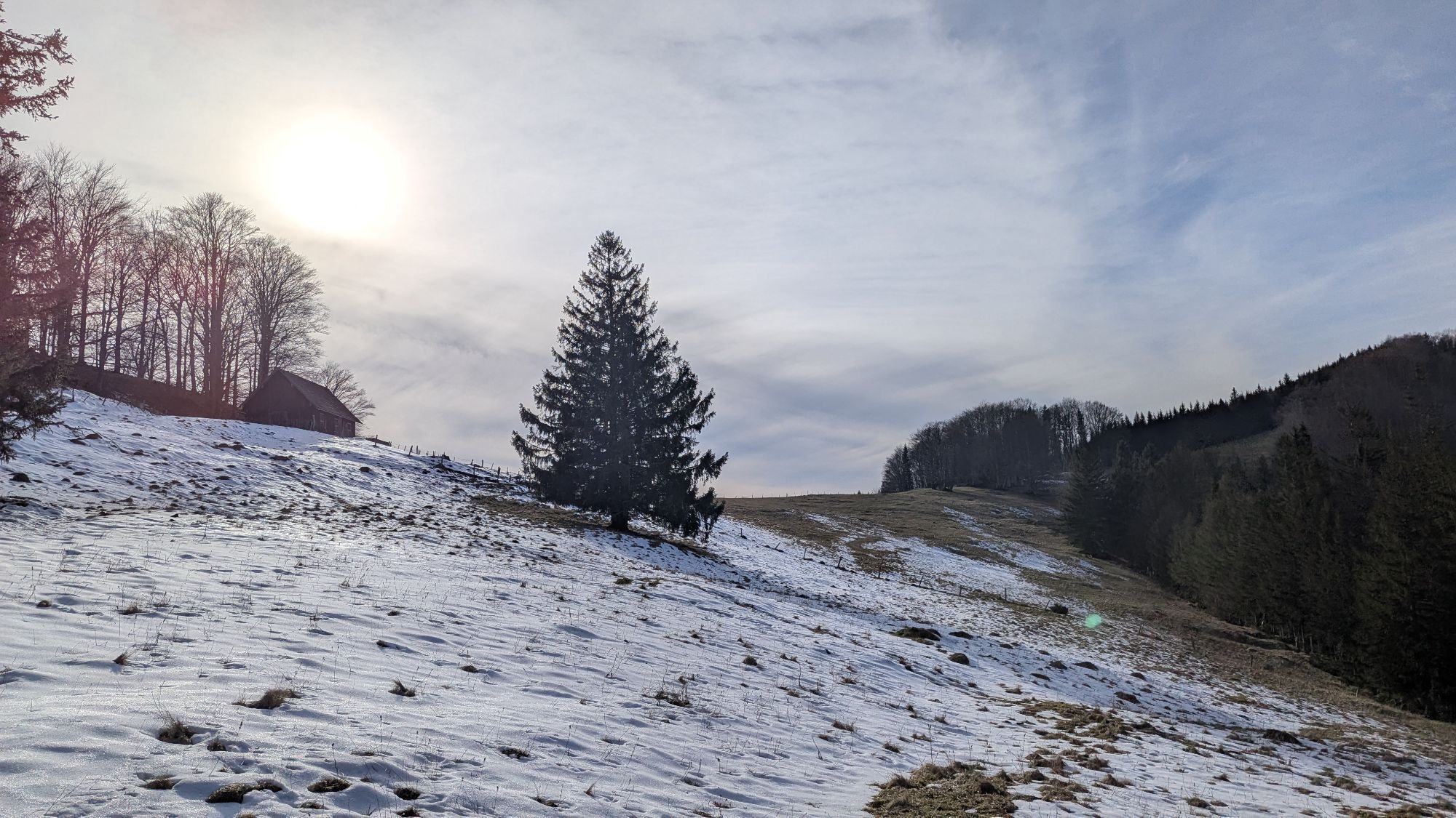
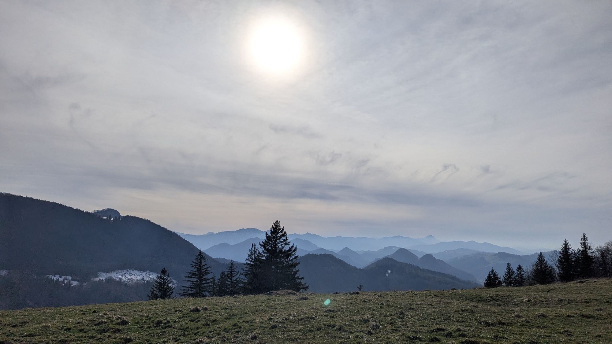
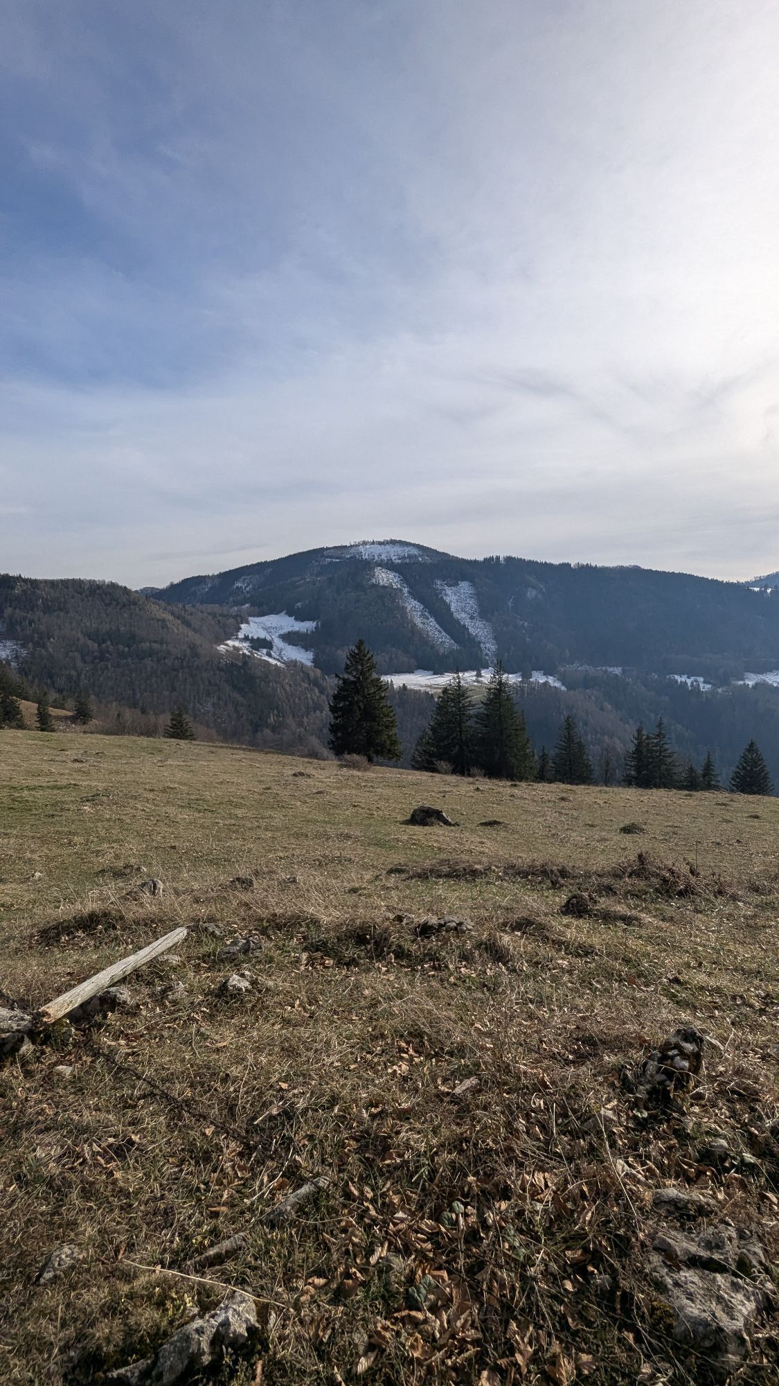

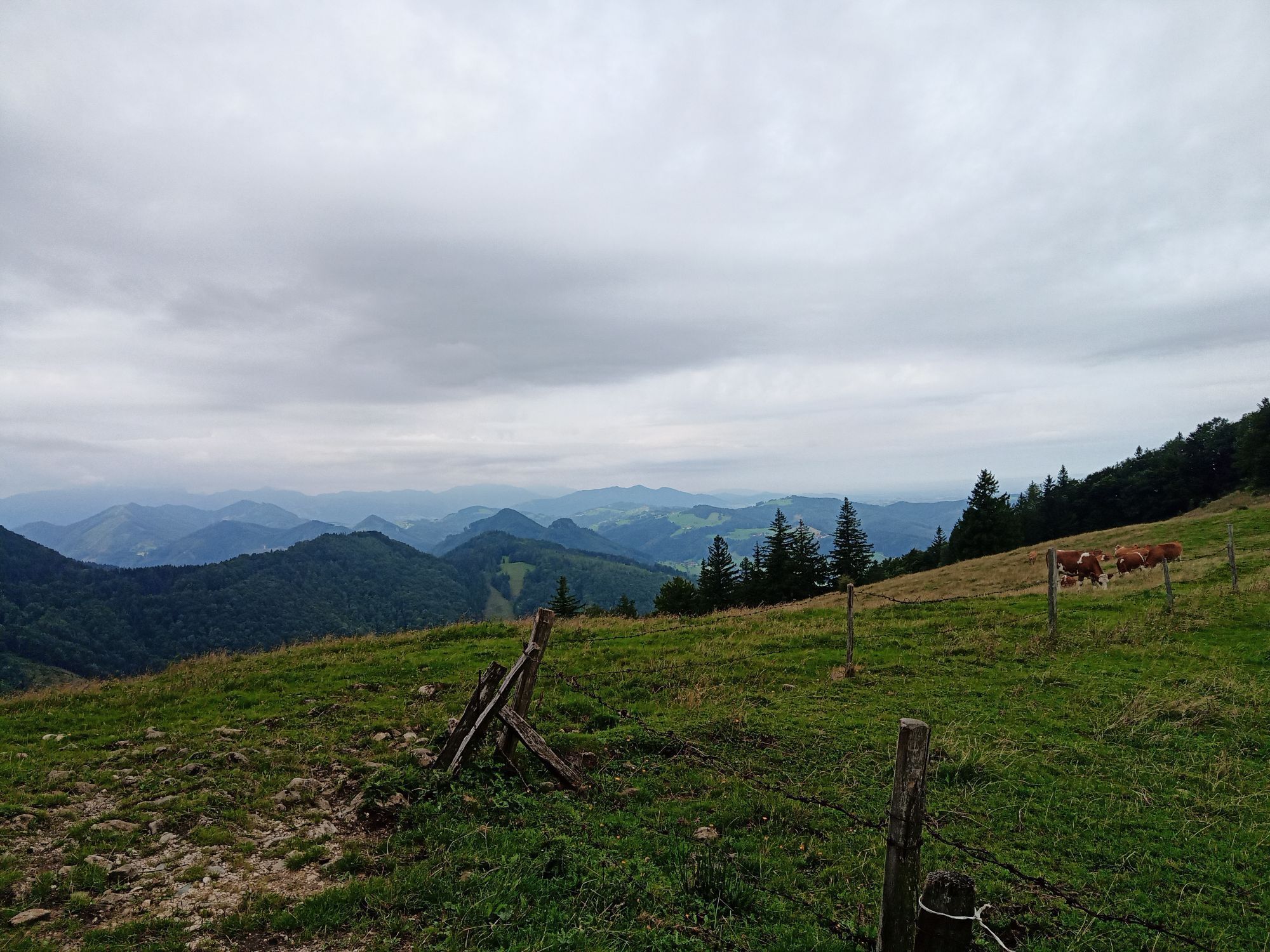
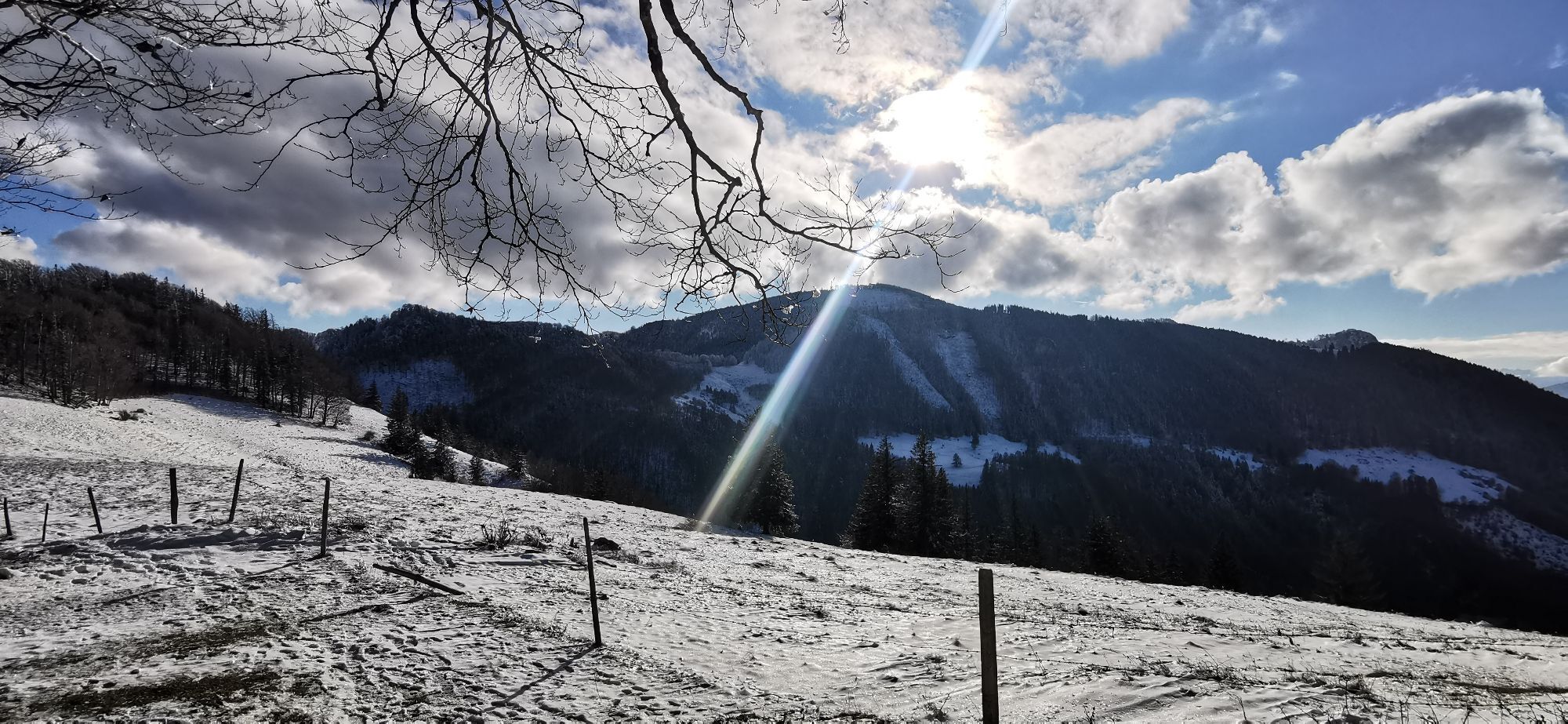
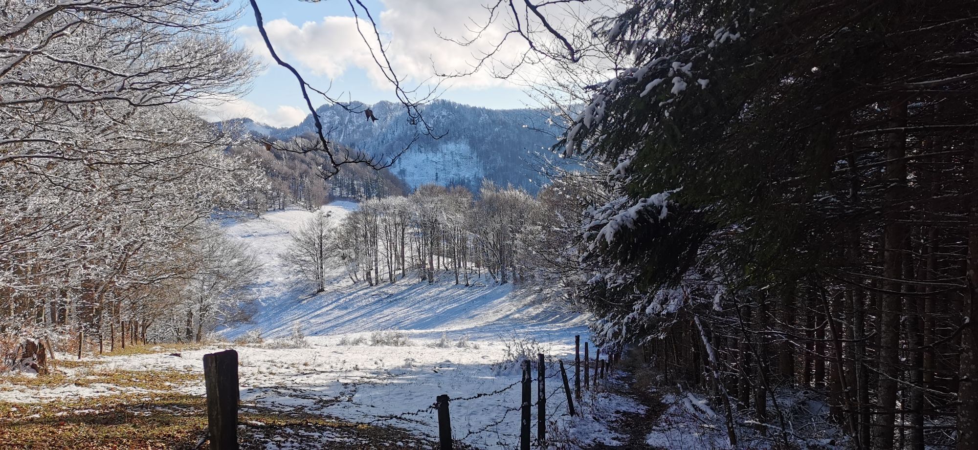
Short but challenging route with a length of 4 kilometers and 357 meters of ascent.

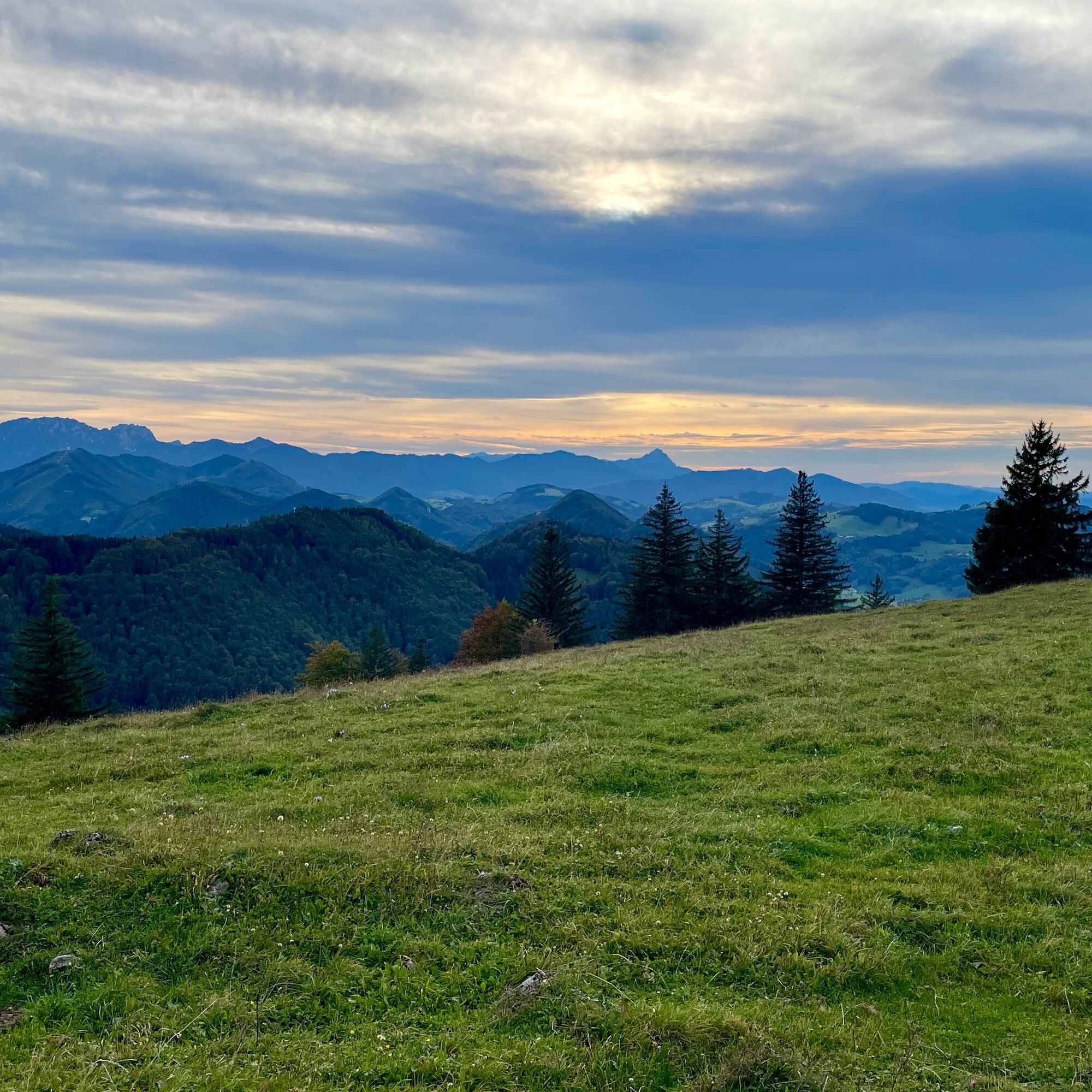
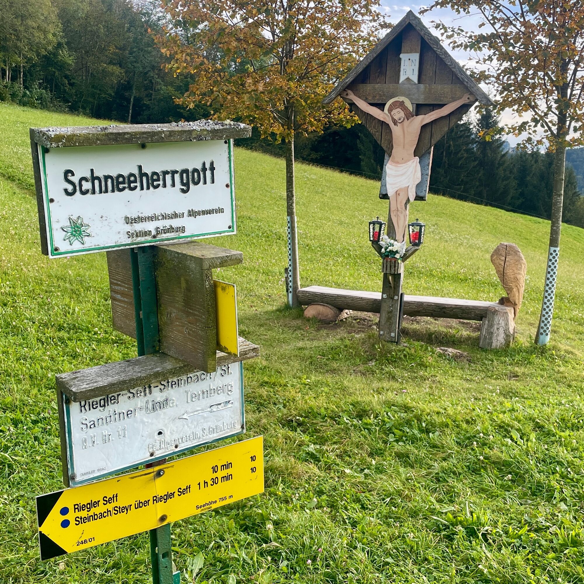
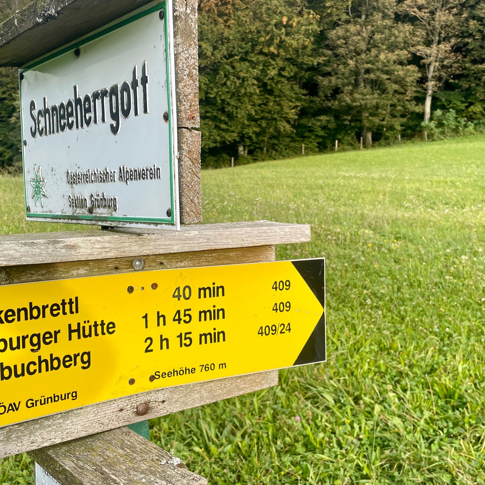
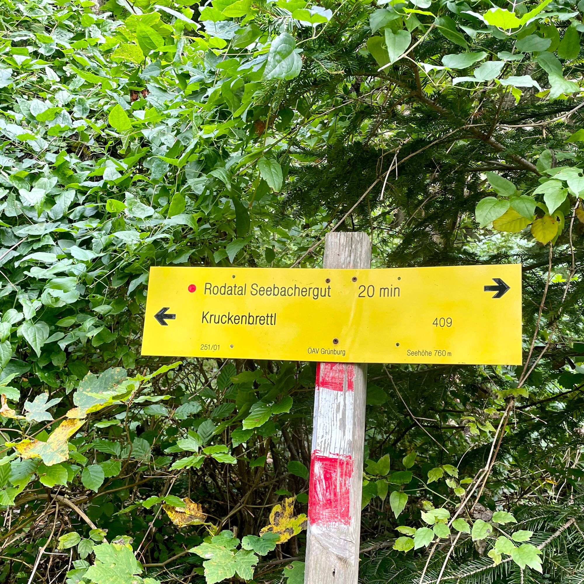
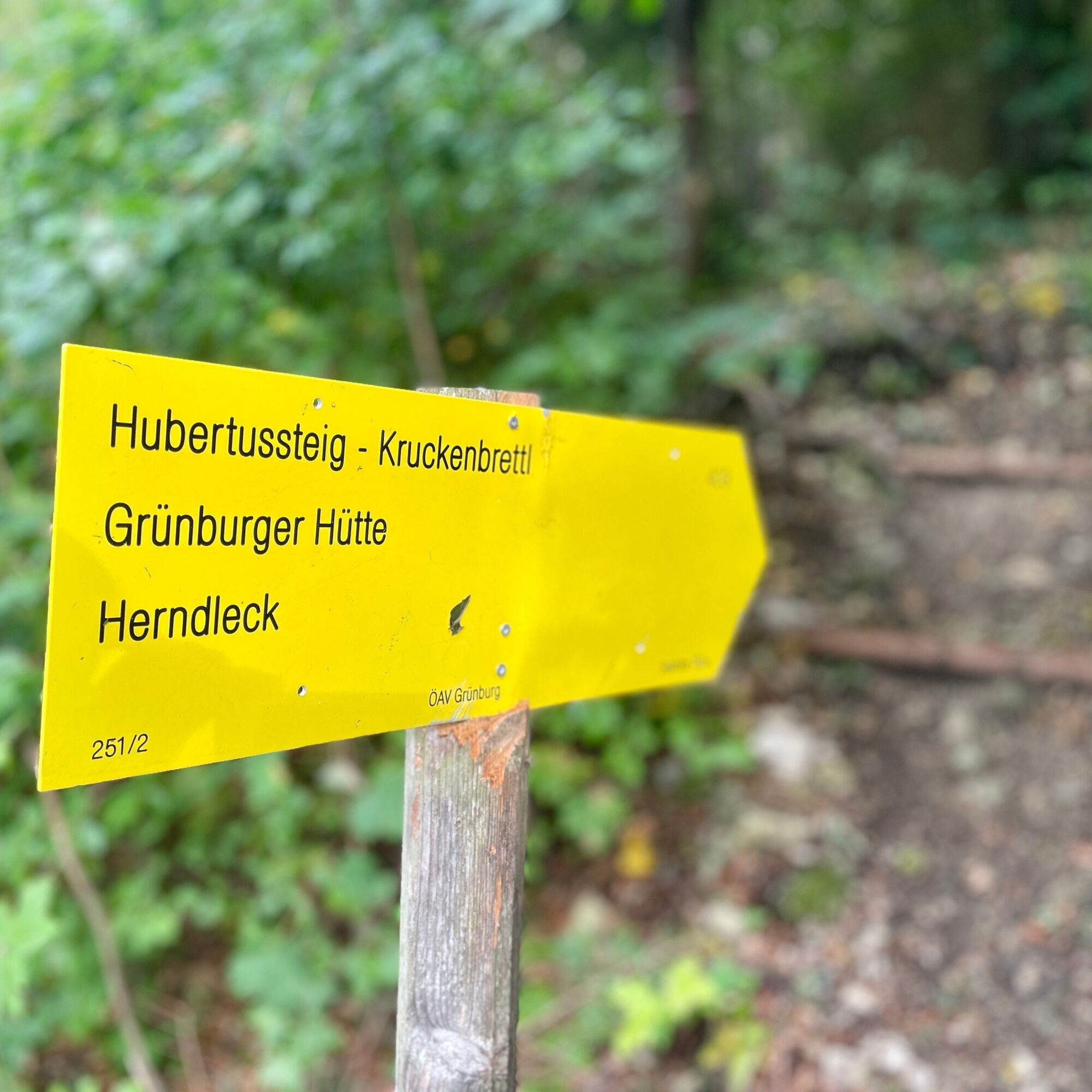
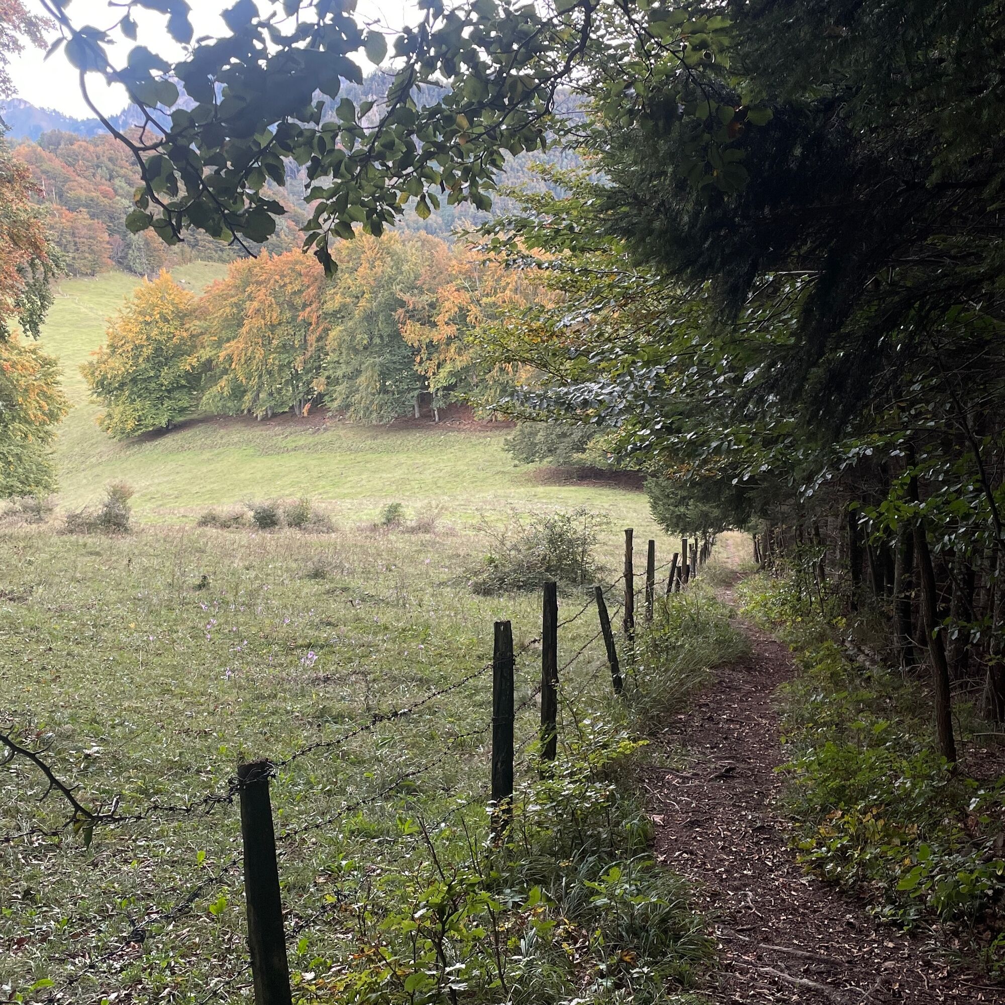
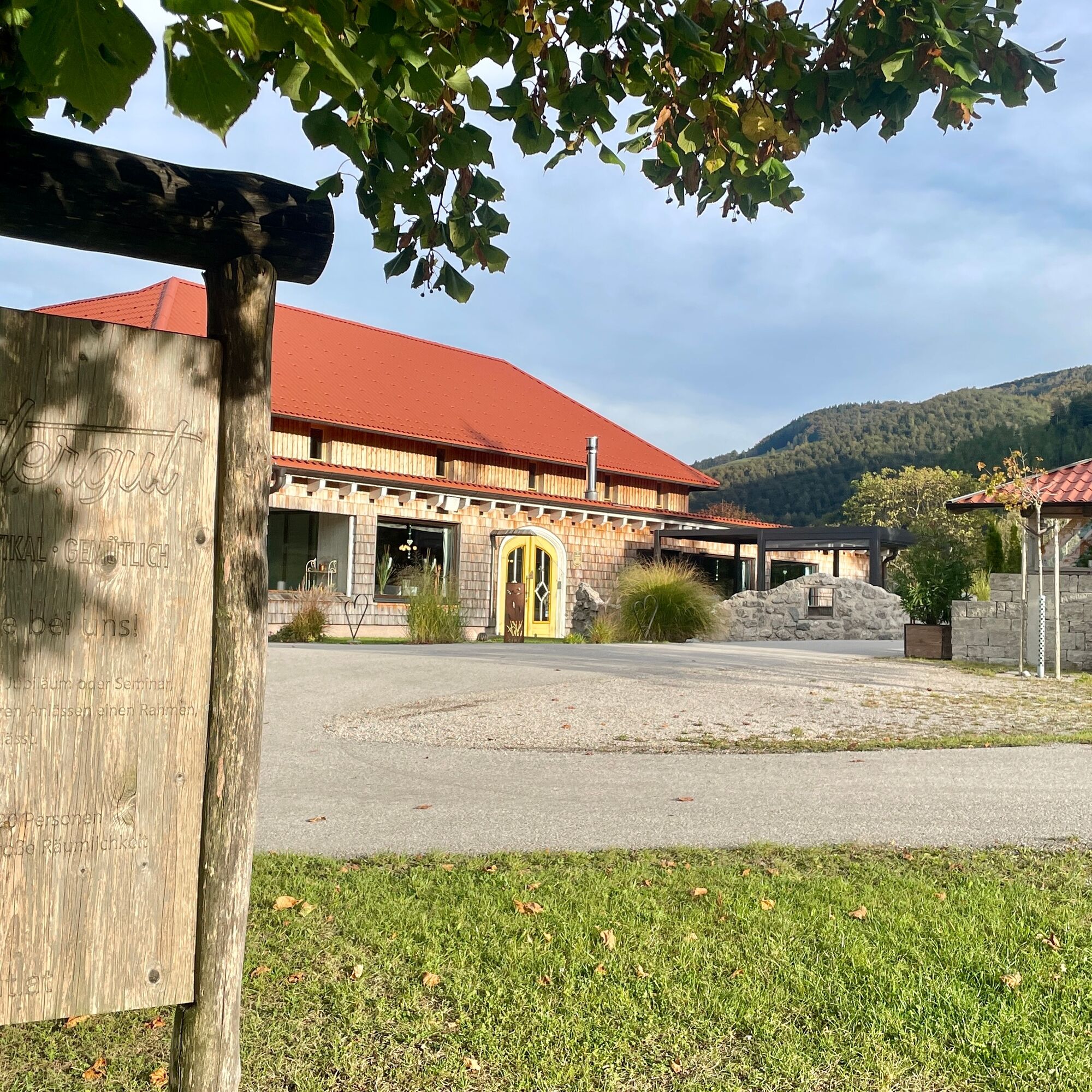
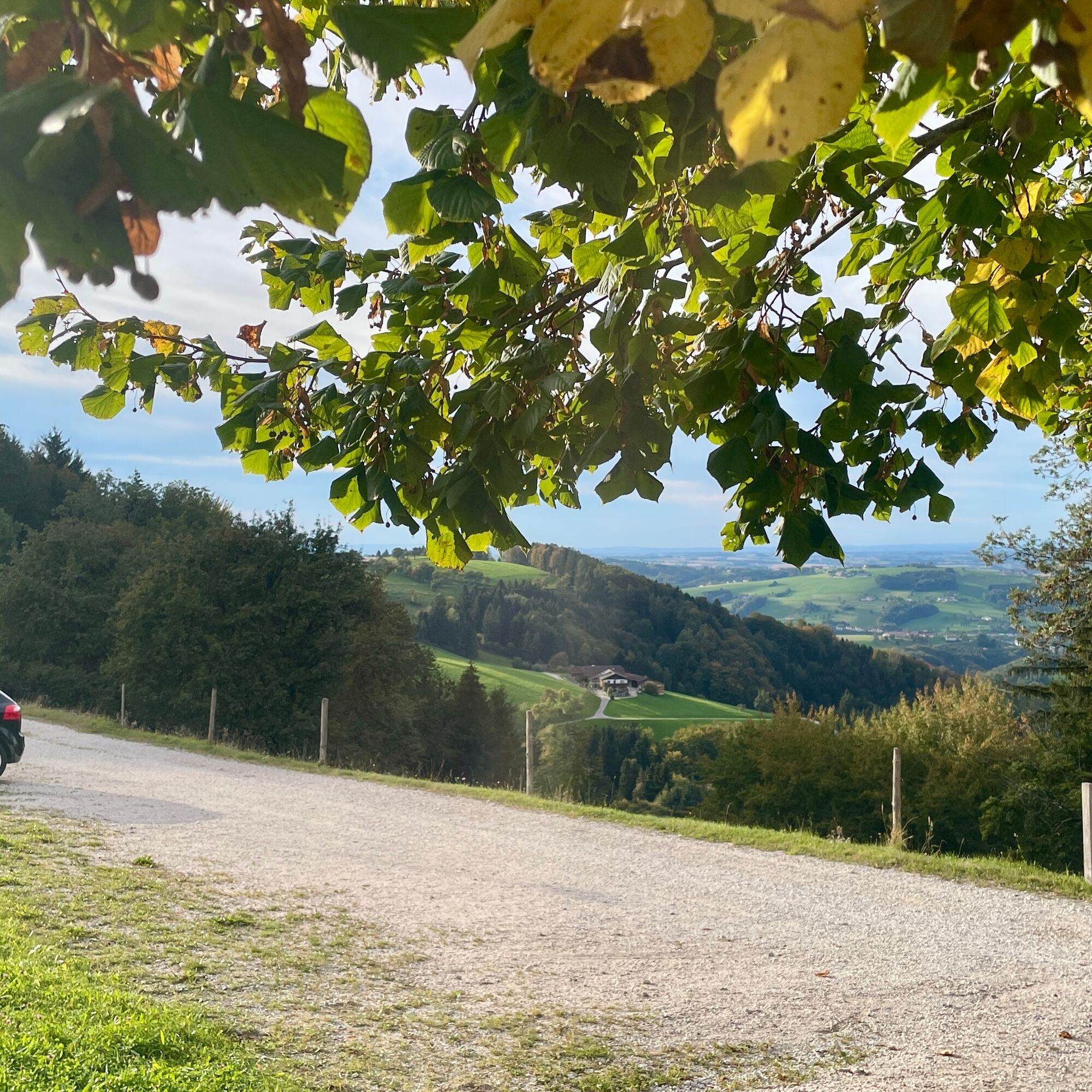
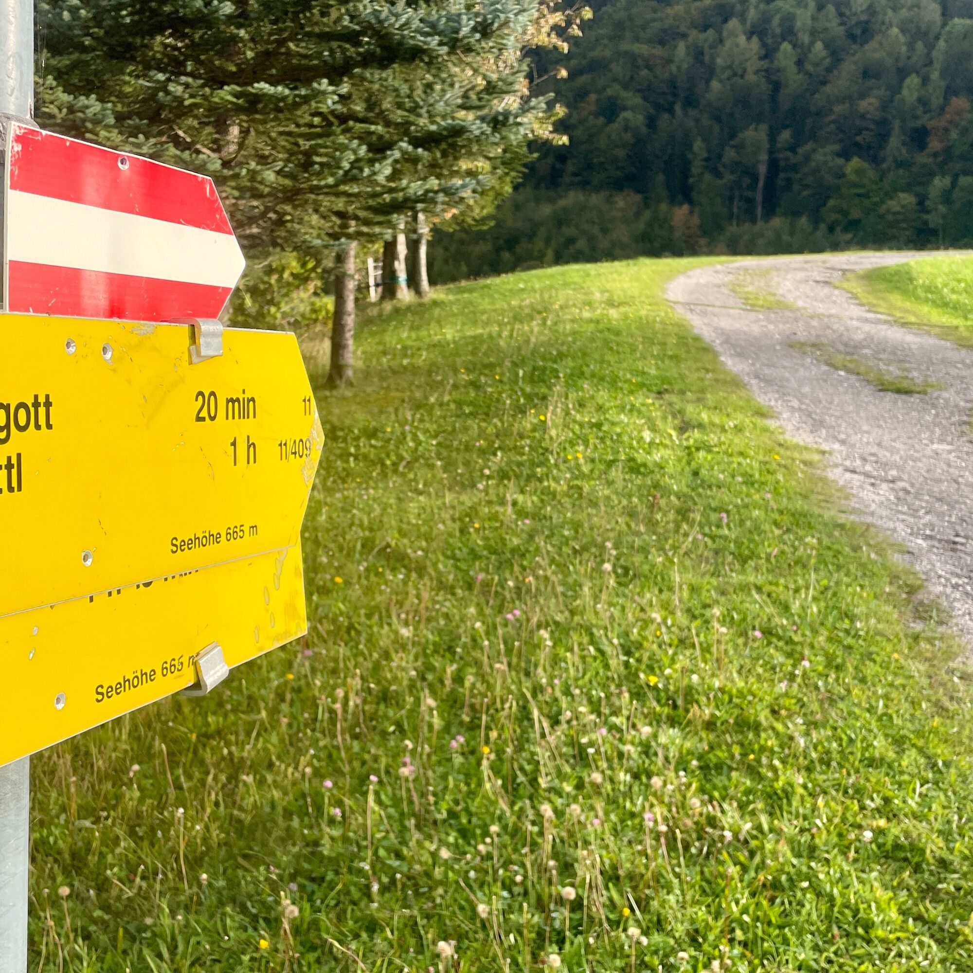
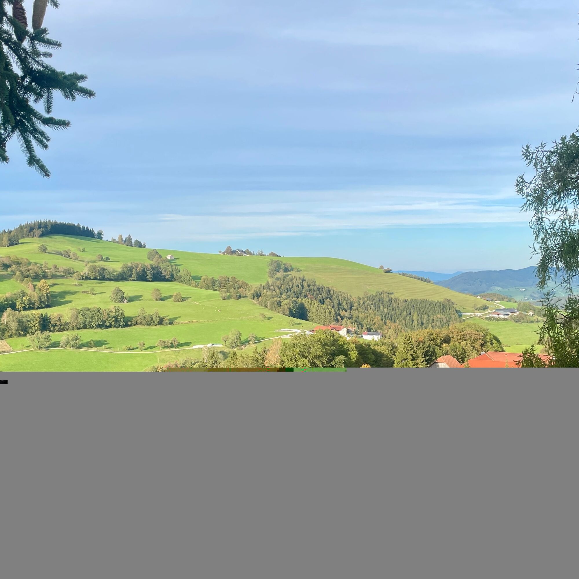
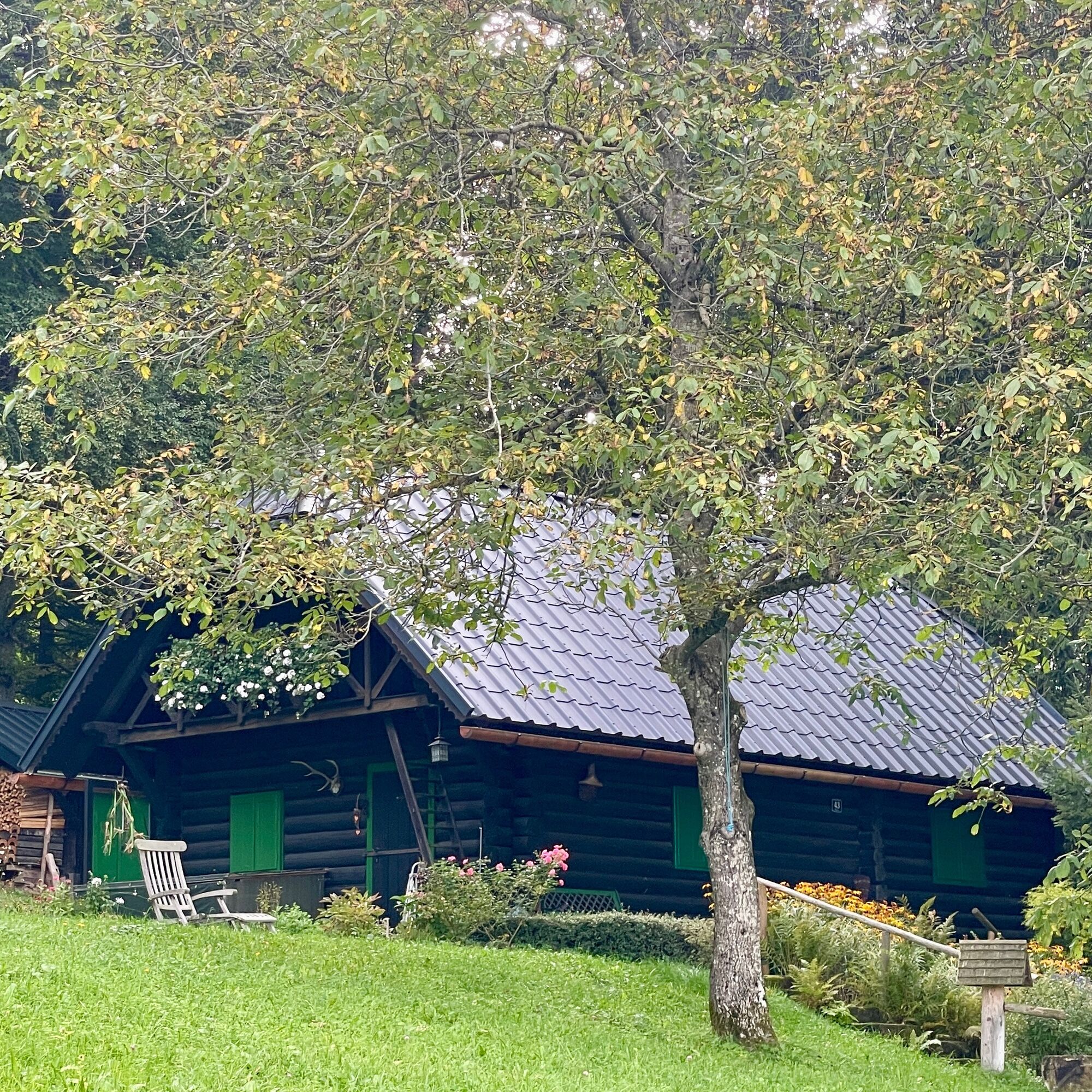
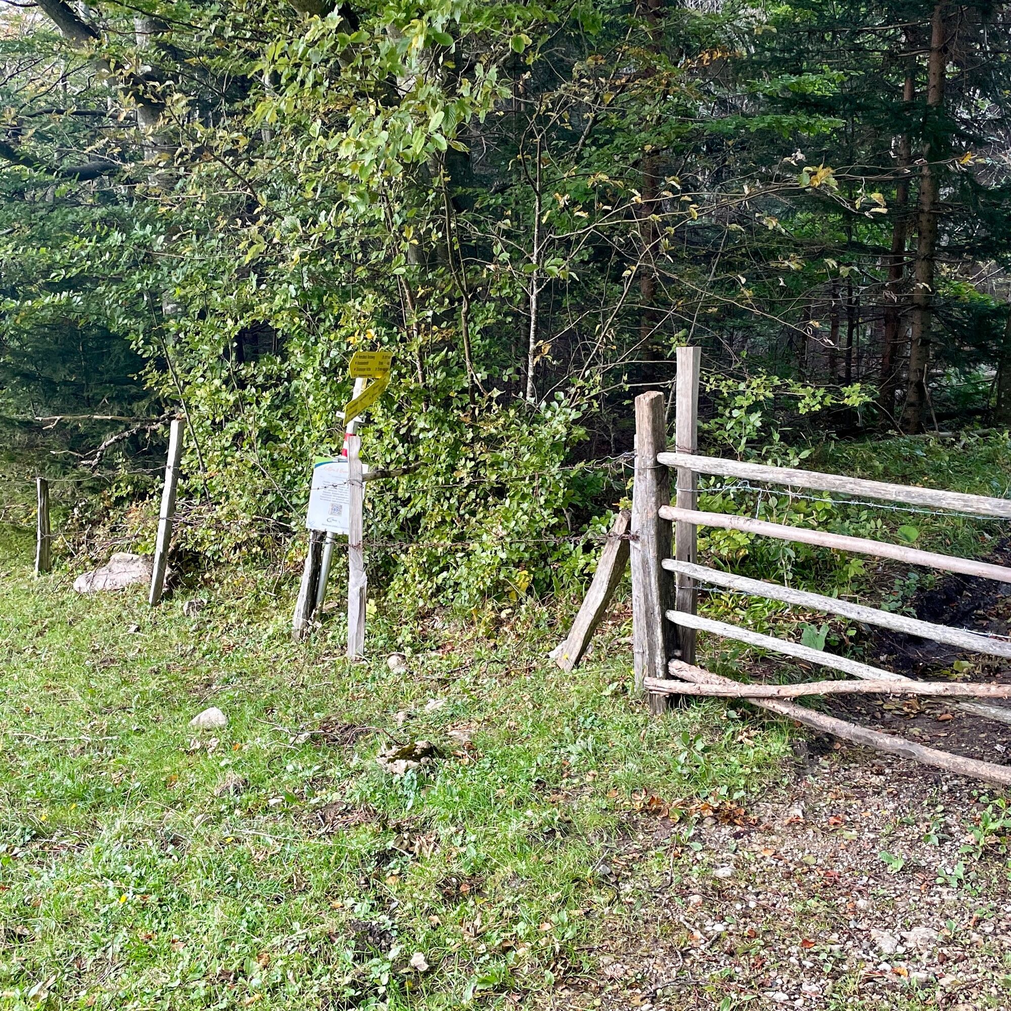
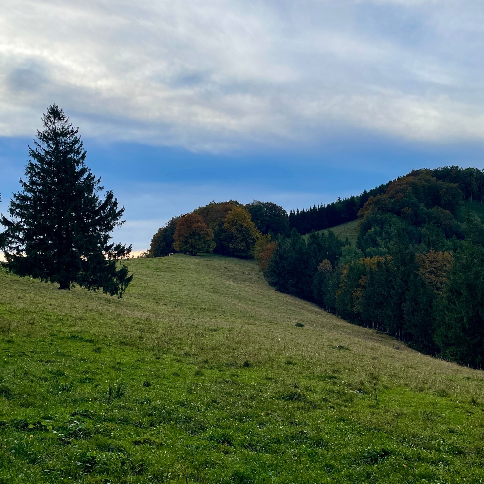
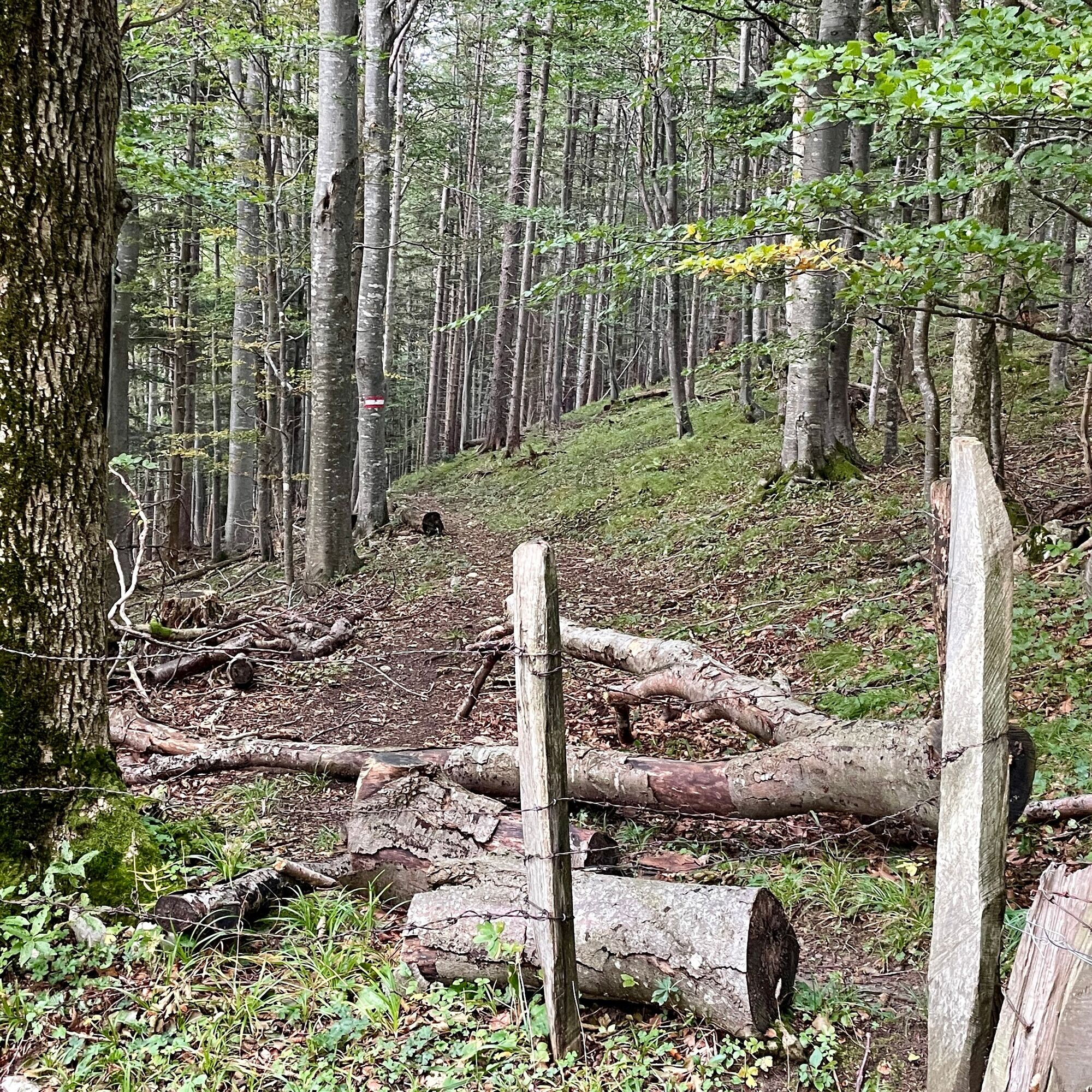
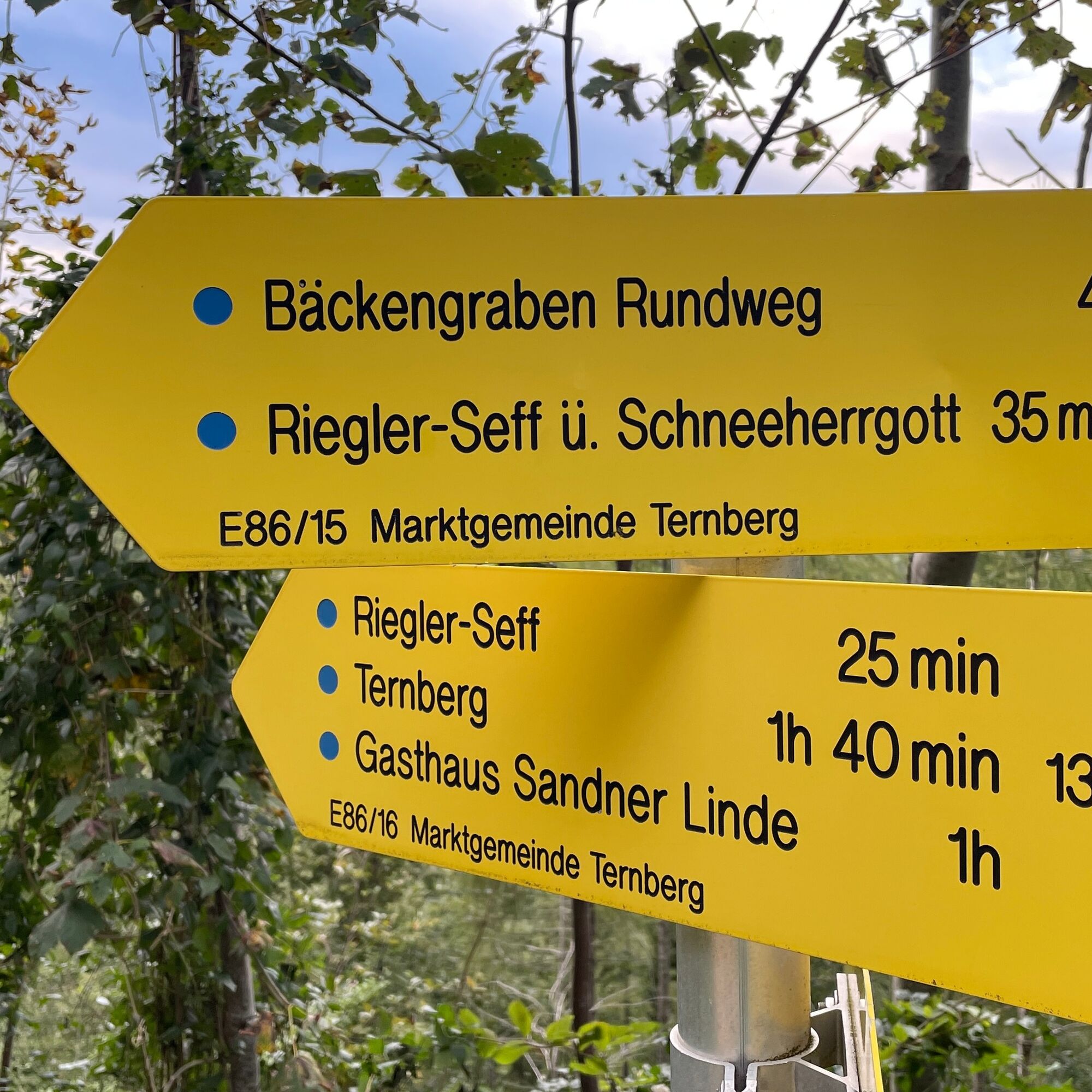
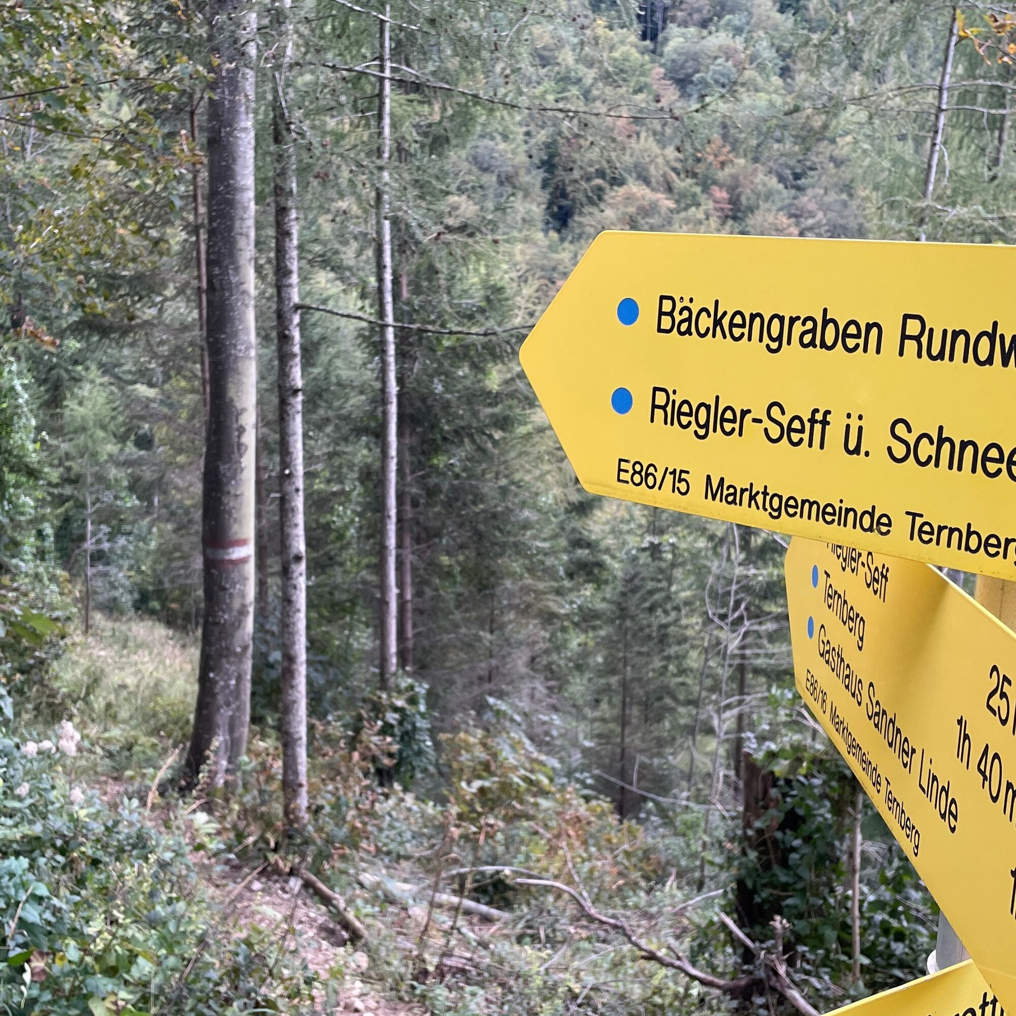
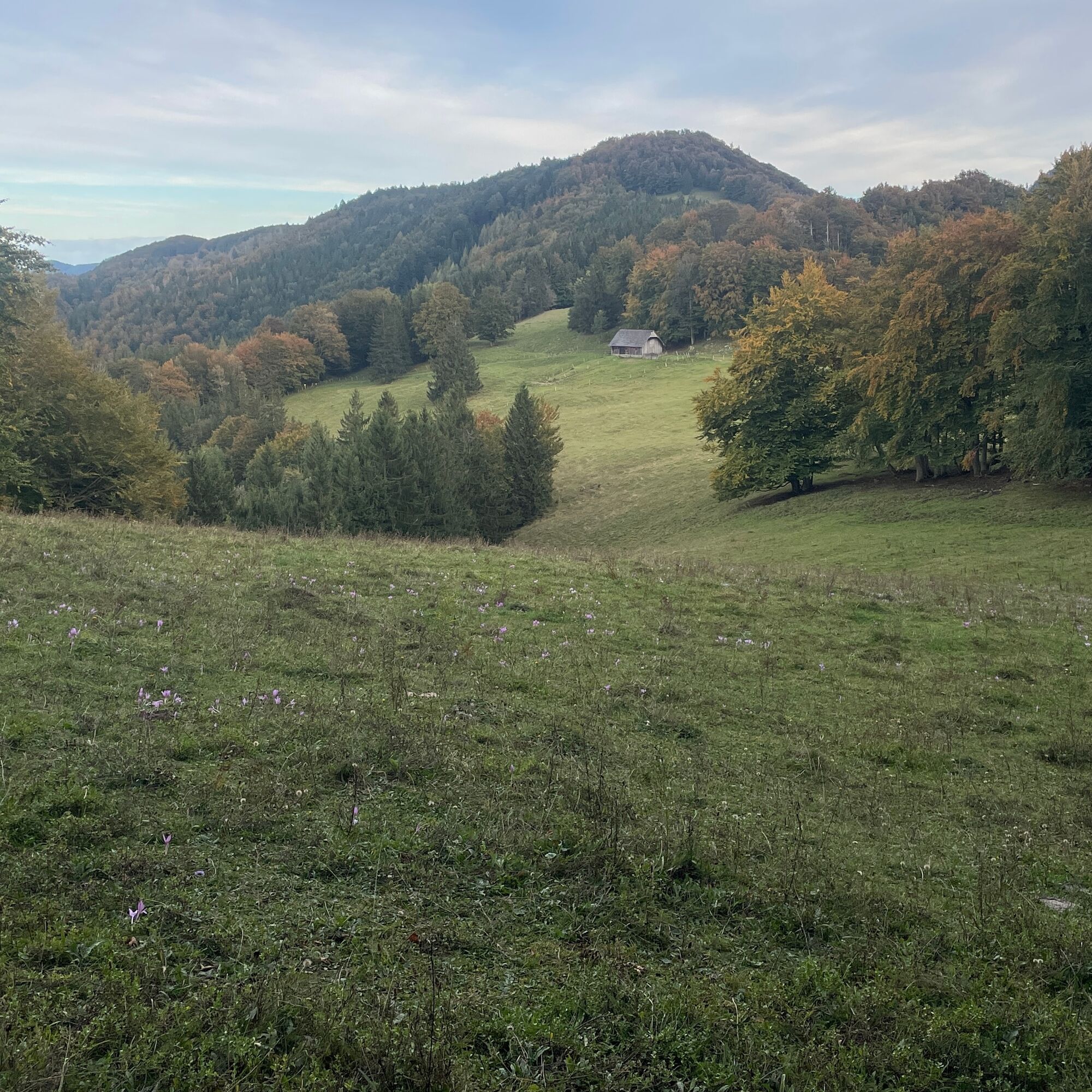
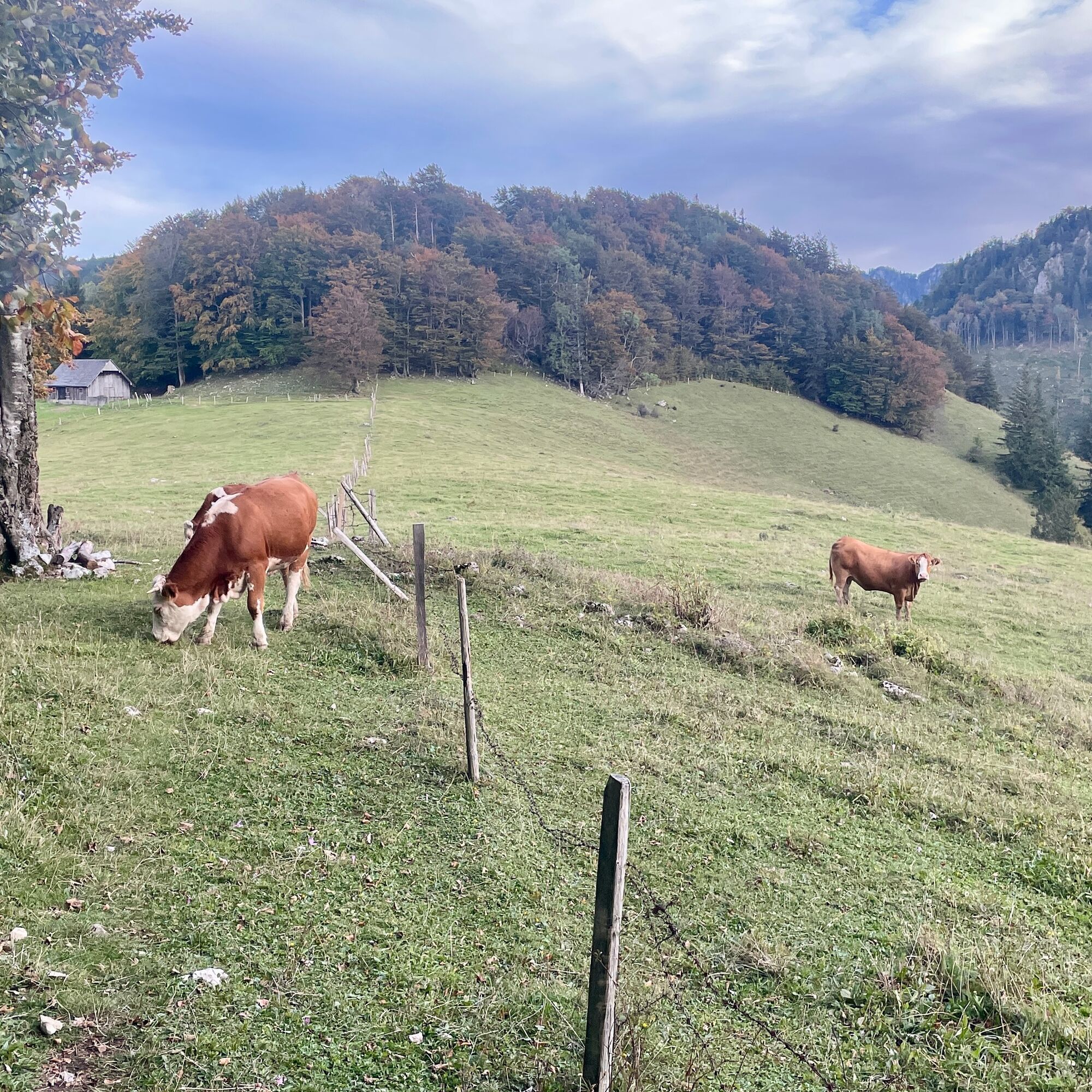
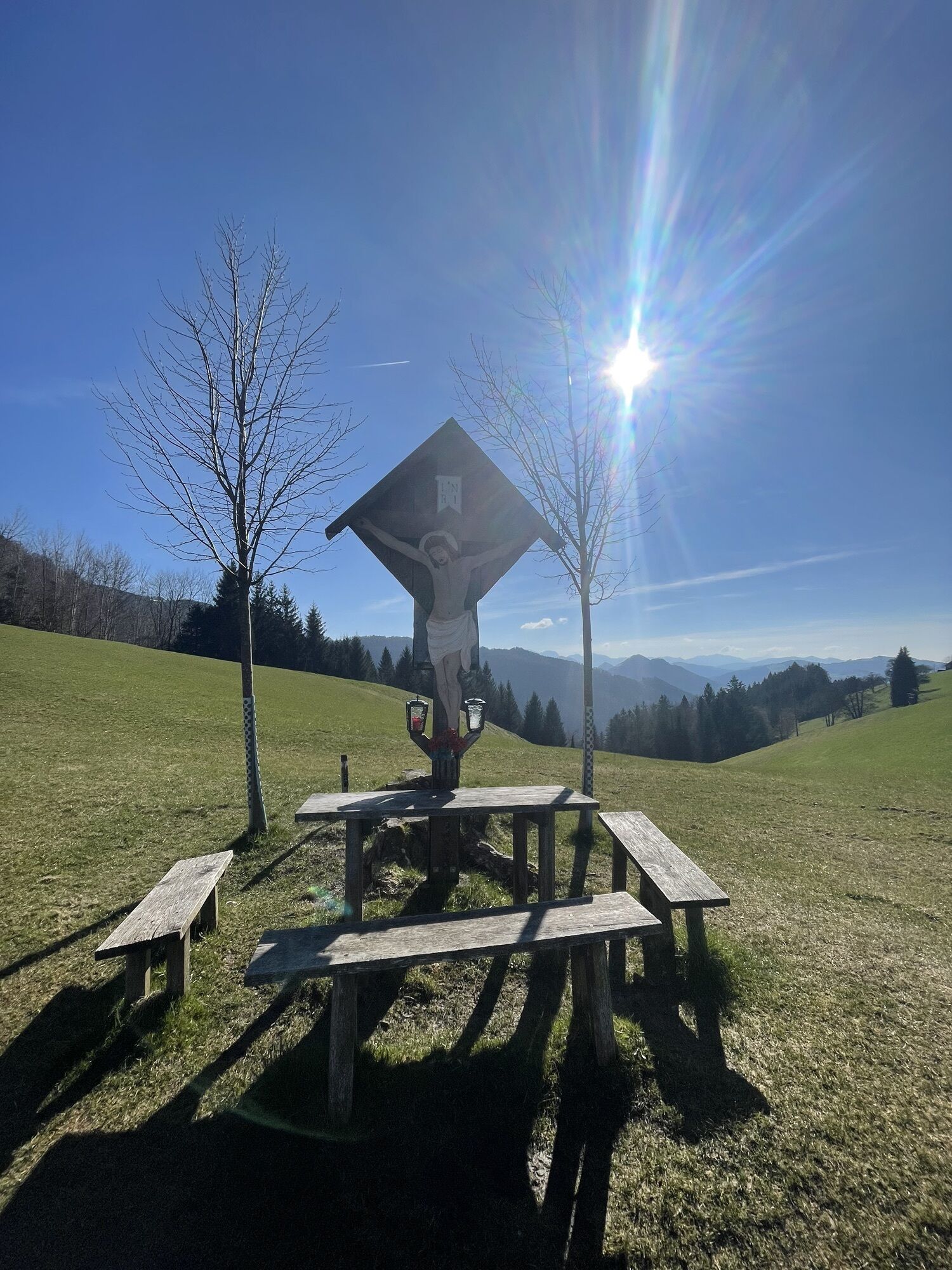
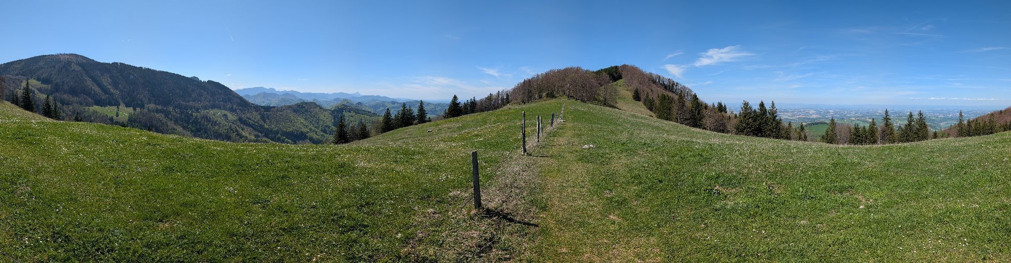
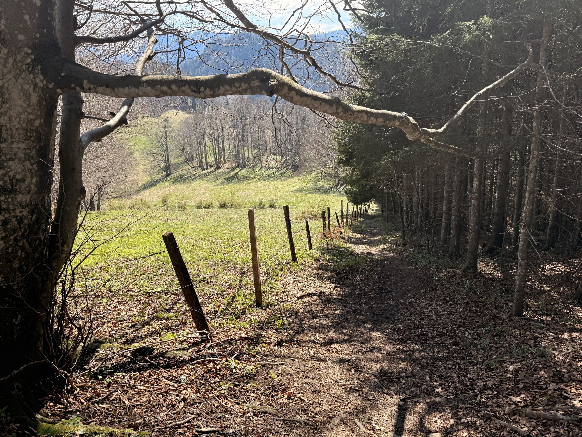
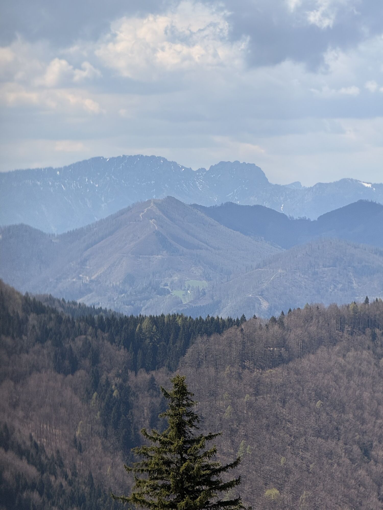
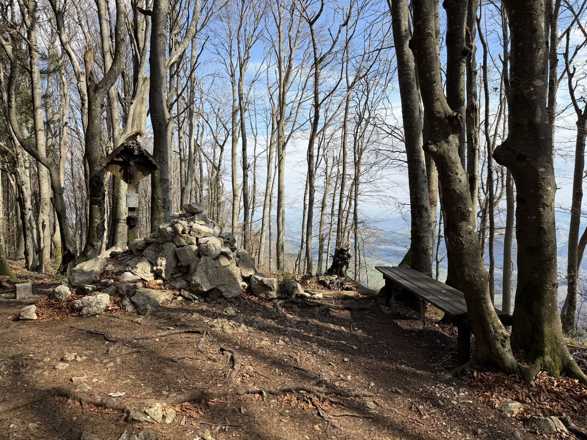
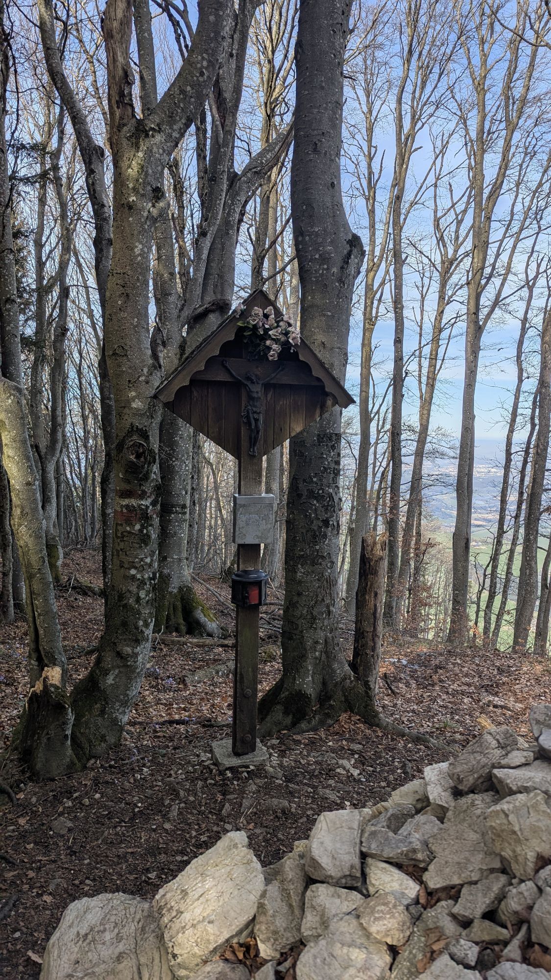
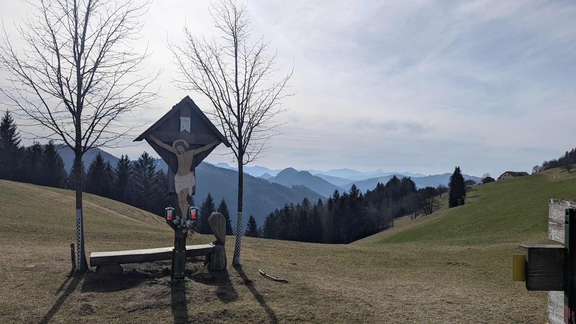
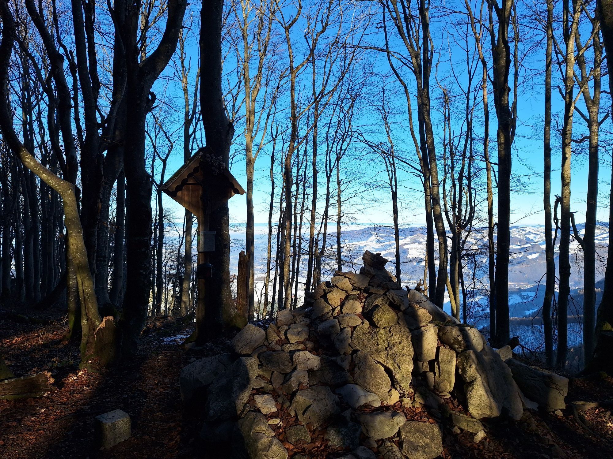
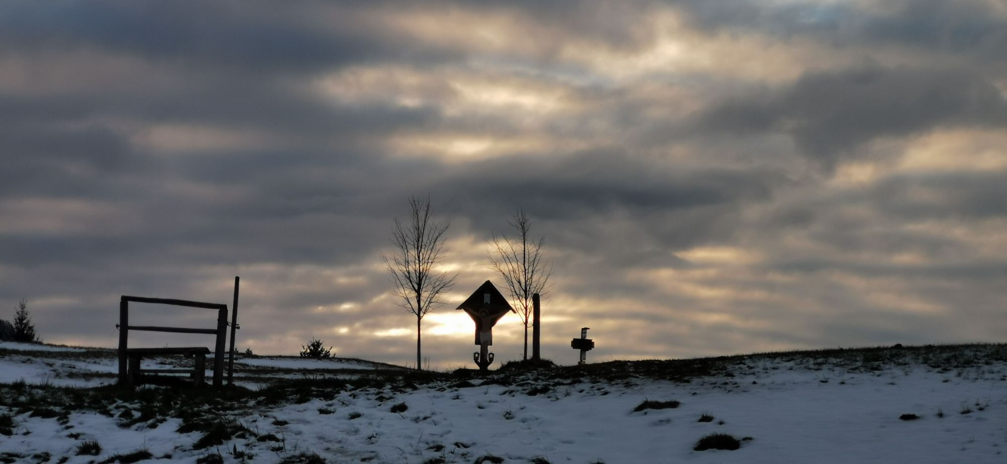
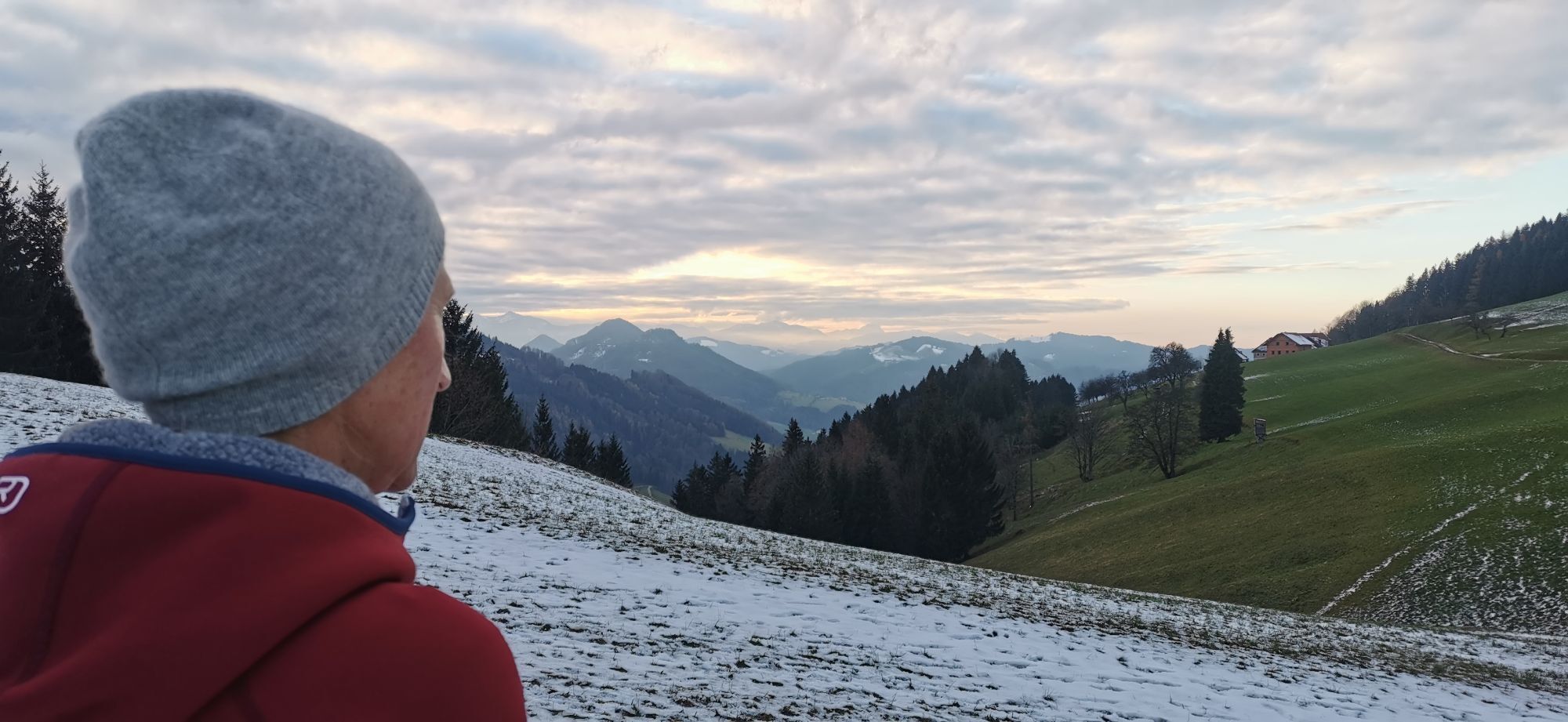
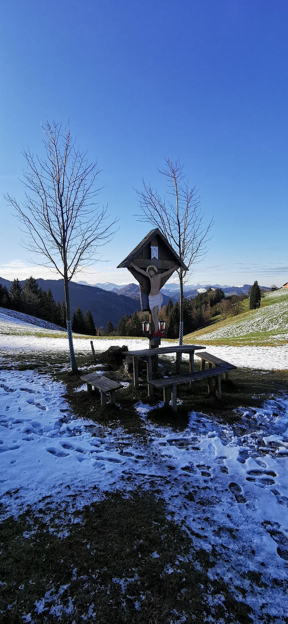
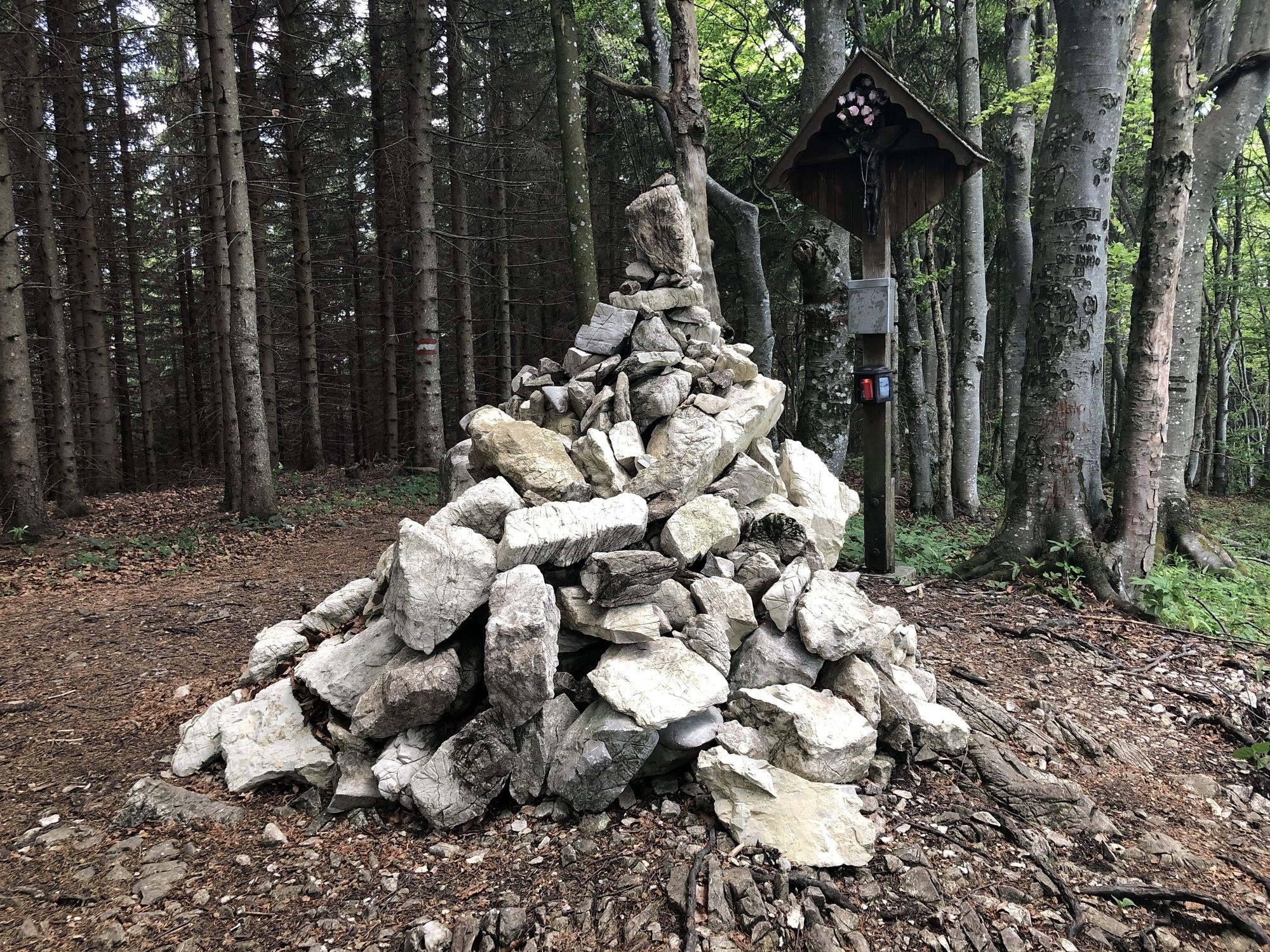
Start at the Rieglergut hiking car park (coordinates of the hiking car park: 47m94586 N, 14.29808 E). Immediately behind it, a path leads up that first takes us to the Schneeherrgott. Turn left and continue. At a forest road, turn left again and then immediately right to ascend steeply on the Hubertussteig to Kruckenbrettl at 1020m above sea level. From here, it goes downhill to the Kruckenbrettl meadow. At the kilometer mark, turn left (do not take the path through the gate!!). Here a path leads steeply down through the forest. When reaching a forest road, a signpost points us to Riegler Seff. A beautiful singletrail leads us through the forest until we arrive back at the Rieglergut.
The required equipment always depends on the respective route and weather conditions. Regarding food: This is very individual, and it is advisable to have more rather than less equipment and food with you. A 5 km route in the valley requires less than a demanding route in the mountains. The weather can change quickly, and if you are not constantly moving or need to take a break, warming clothing is very important, for example.
We have a general checklist here for you:
Weather-appropriate running clothes for the respective season – weather forecast – region – altitude. This includes, among others: * a waterproof rain jacket * waterproof rain pants suitable for running * gloves and warm headwear (hat/headband/tube scarf) * sunglasses + sunscreen + headwear for very warm days
Trail running shoes
Water bottles, soft flasks, or a hydration bladder with enough fluids for the respective route (possibly also salt tablets/magnesium)
Snacks for energy boosts in between: energy bars, gels, chocolate, trail mix,
Running backpack: ideally a trail running vest / a trail running backpack or a waist belt for small routes.
Dry pack: to keep your valuables or spare clothes dry (optionally a small trash bag)
Emergency blanket
Small first aid kit. In my opinion, an Israeli bandage is highly recommended: this is a one-handed wound and pressure dressing. You can find details here.
Emergency whistle (often integrated in the trail backpack)
Mobile phone
Map material (online and/or offline)
E-Card or insurance card
Some cash
Crampons/spikes: these can be a great advantage in winter and icy conditions.
Folding poles for trail running
Headlamp
Parking lot at Rieglergut between Ternberg and Steinbach an der Steyr
Address: Zehetner 42, 4596 Steinbach an der Steyr
Coordinates of the hiking car park: 47m94586 N, 14.29808 E
T2
Oblíbené prohlídky v okolí
-
4.7
Grünburger Hut via Dorngraben Molln
středníTuristika 3.43 km -
4.6
Schoberstein (from Molln)
středníTuristika 3.63 km -
4.8
Steinerner Jäger (1185m) und Schieferstein (1206m) ab Parkplatz Hochhabichler
středníTuristika 4.46 km -
4.6
Rinnende Mauer - Gorge Trail
středníTuristika 7.20 km -
4.6
Dürres Eck - Gaisberg - Hochbuchberg
středníTuristika 11.2 km -
4.6
Pfaffenmauer - Schoberstein - Gipfel der Lust Gasthof Klausriegler, Oberösterreich/Österreich
středníTuristika 9.72 km -
4.2
Rinnerberger Waterfall - Gorge
středníTuristika 7.55 km -
4.5
Ternberg -Schoberstein
středníTuristika 6.60 km -
4.7
Steinerner Jäger (1185m) und Schieferstein (1206m) ab Parkplatz Hack
heavyTuristika 8.58 km -
4.7
Kleiner und Großer Landsberg (3.7.2019) mit Sonnenuntergang
středníTuristika 3.51 km
Pěší turistika a stopování


Nenechte si ujít nabídky a inspiraci pro vaši příští dovolenou
Vaše e-mailová adresa byl přidán do poštovního seznamu.