


L2 Freithofberg-Trail - Maria Neustift


Trail run with a length of 9.8 km and approx. 350 m ascent, to a popular excursion destination in the Ramingtal with top dining opportunities.

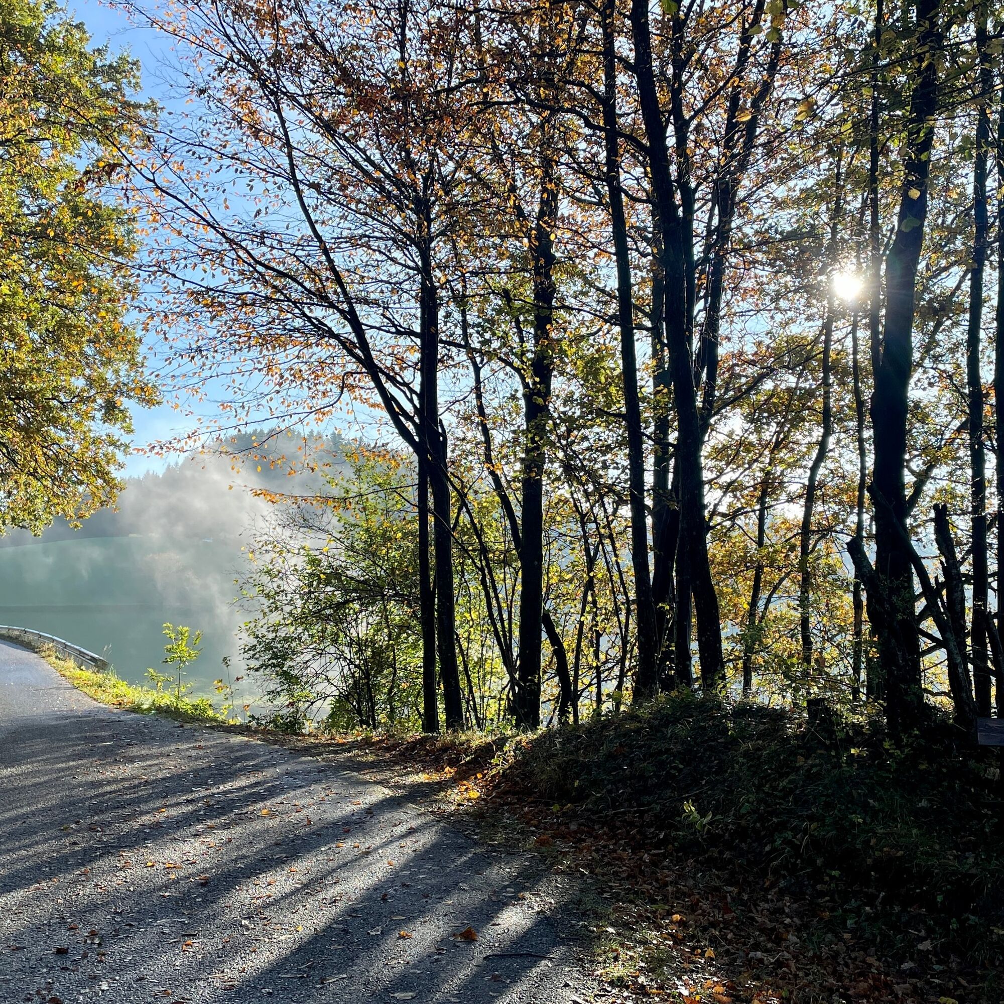
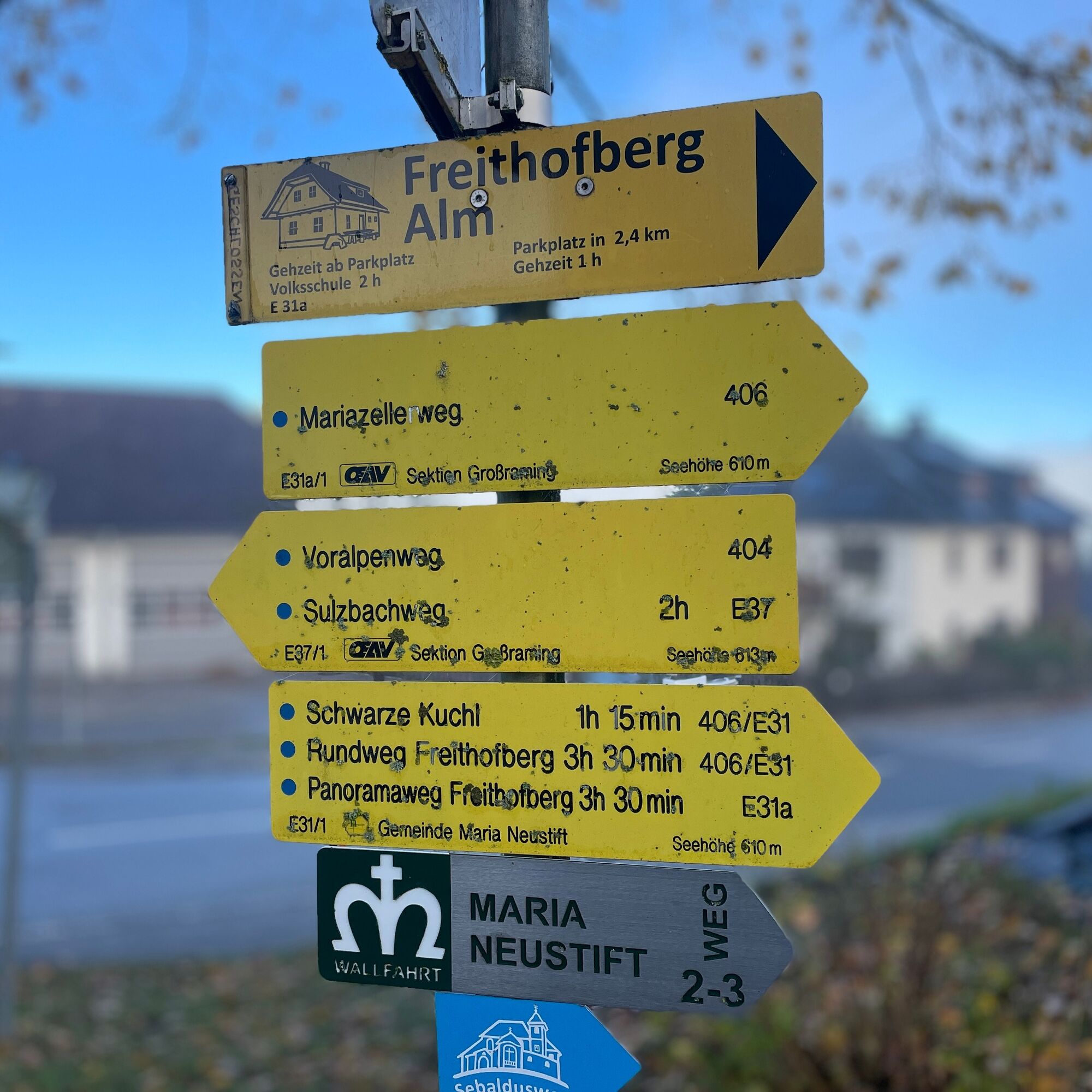
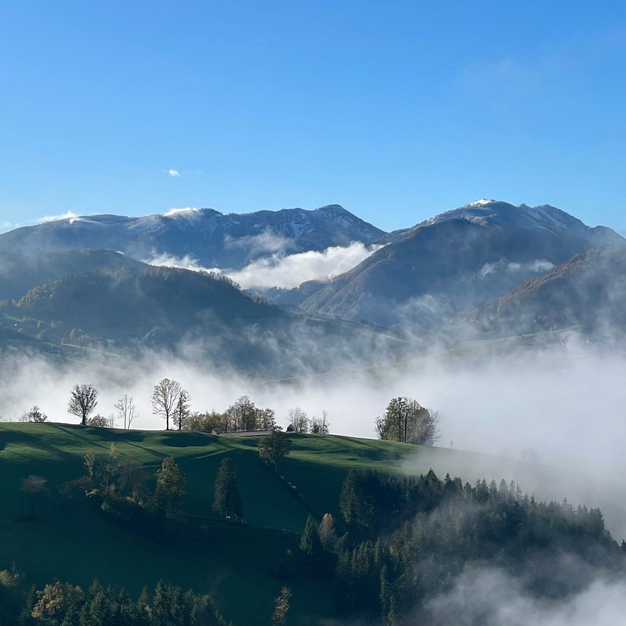
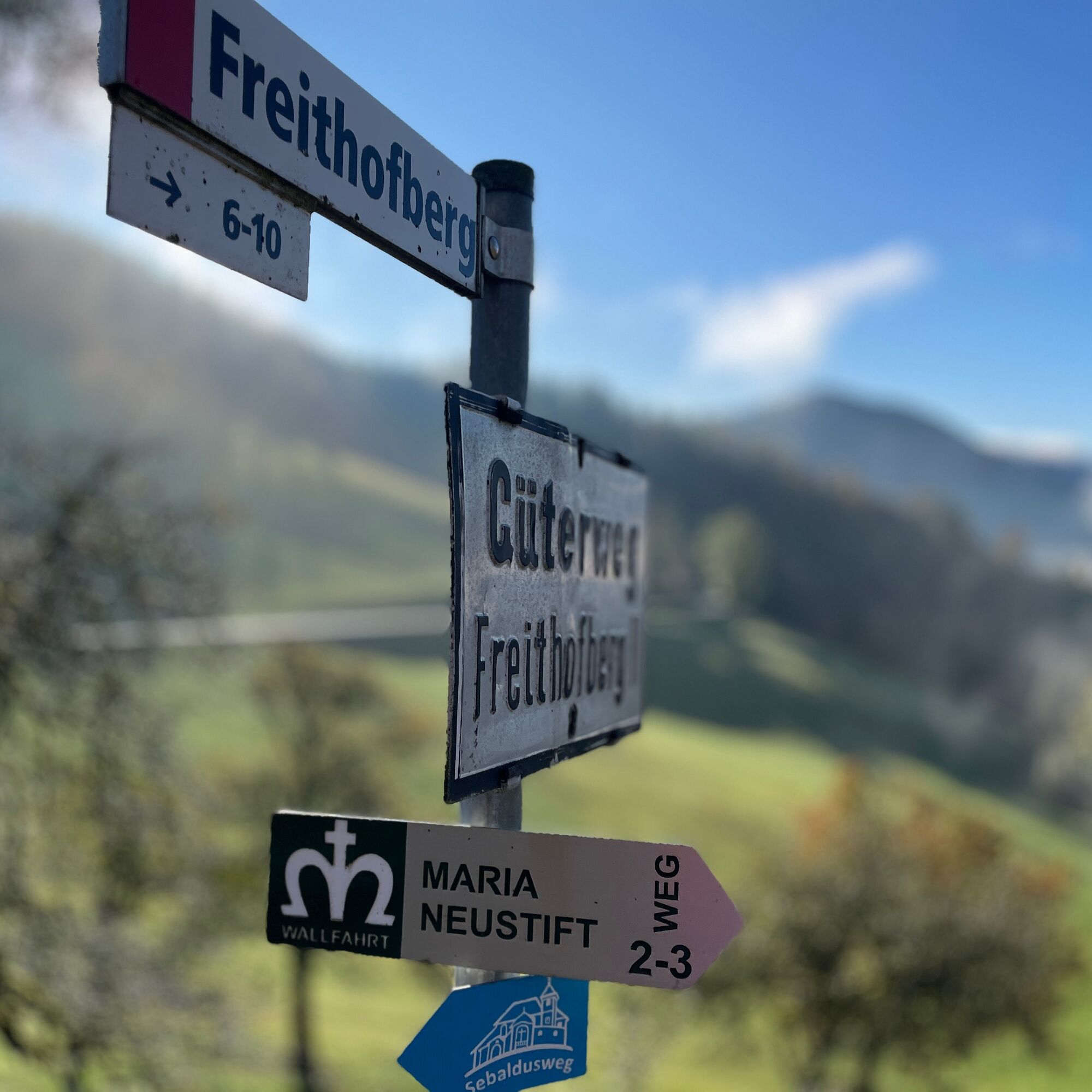
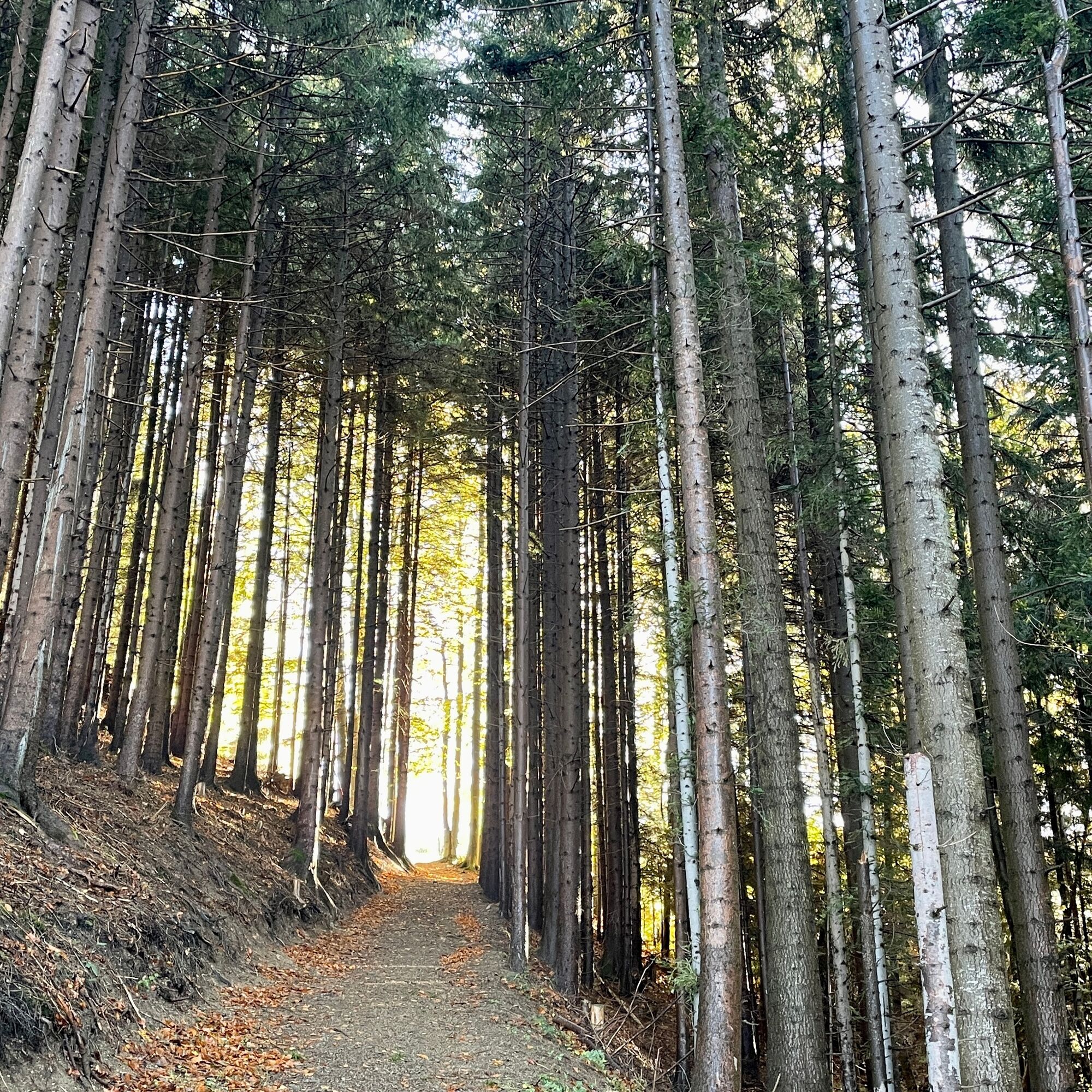
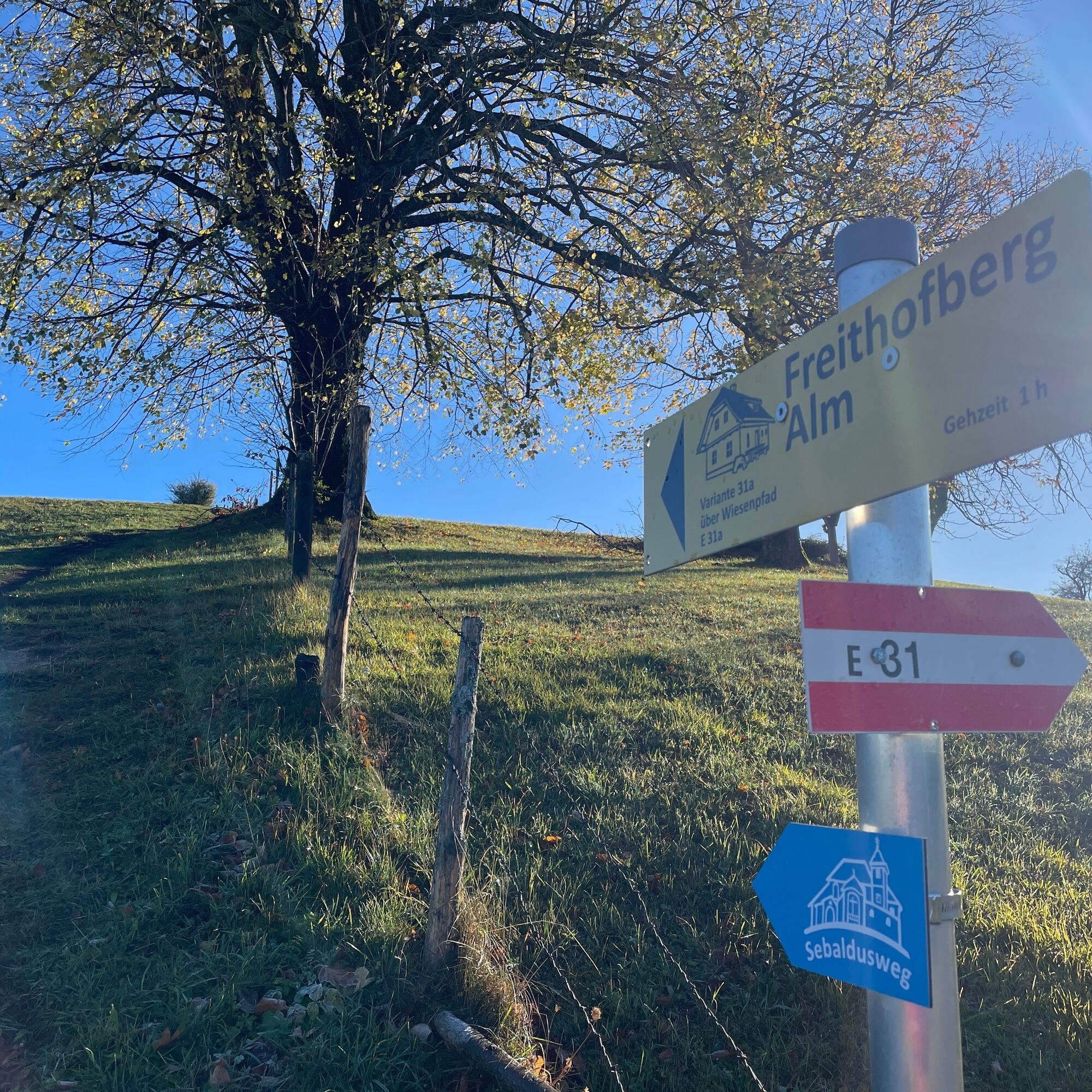
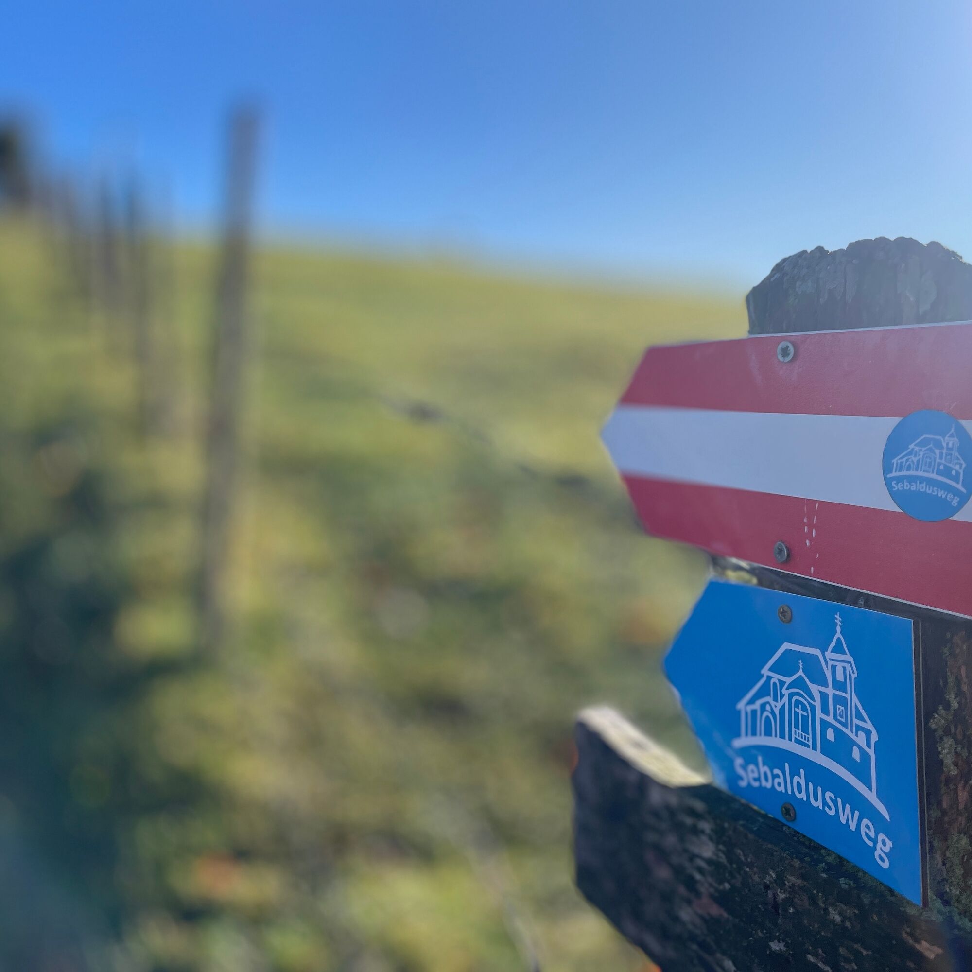
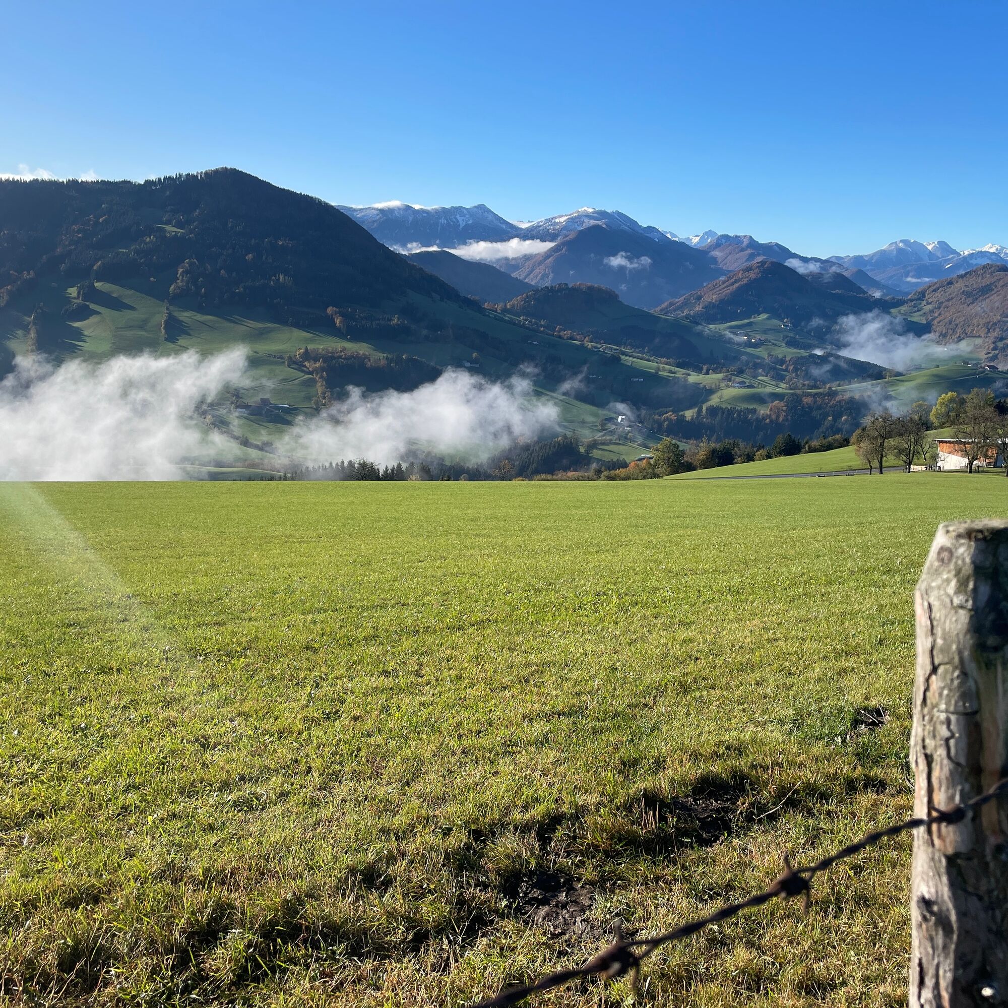
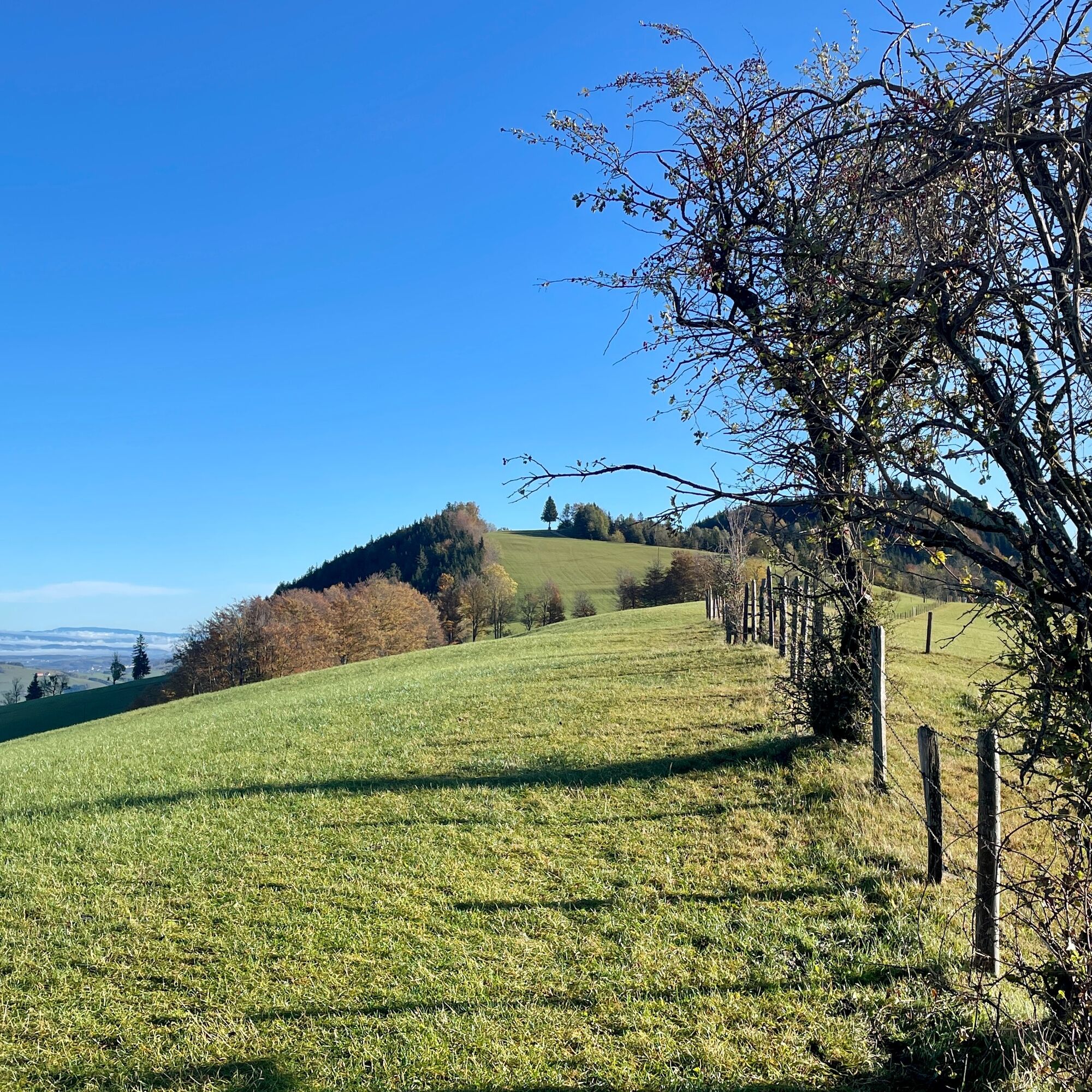
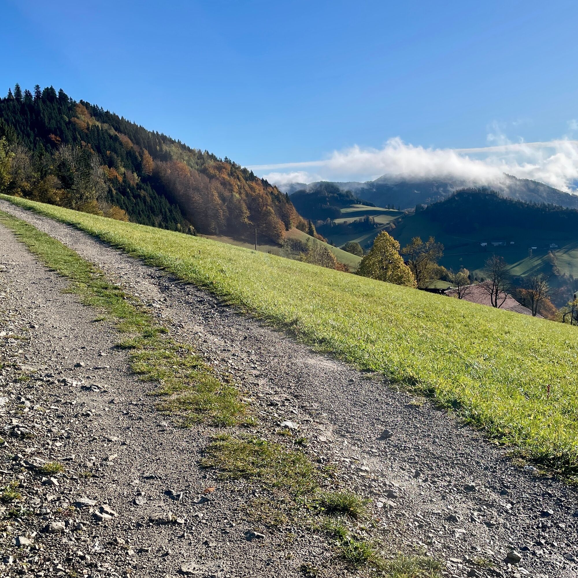
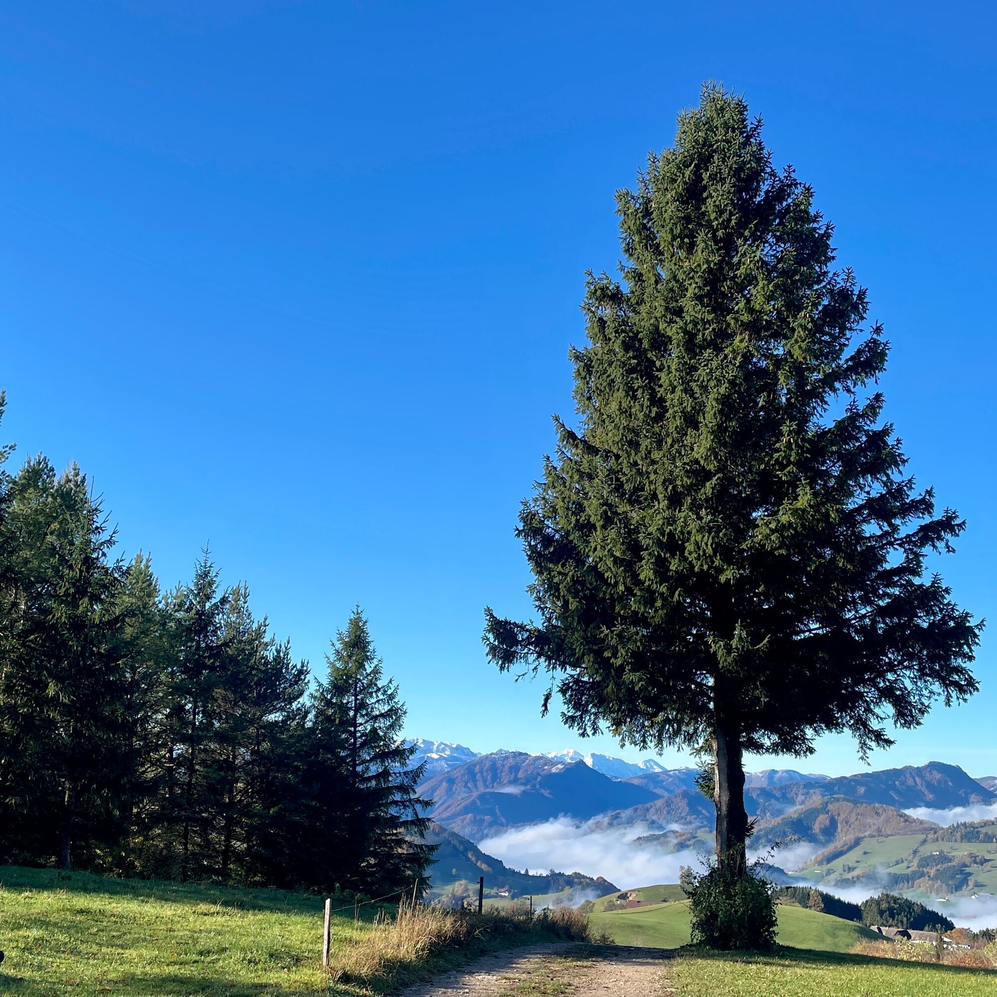
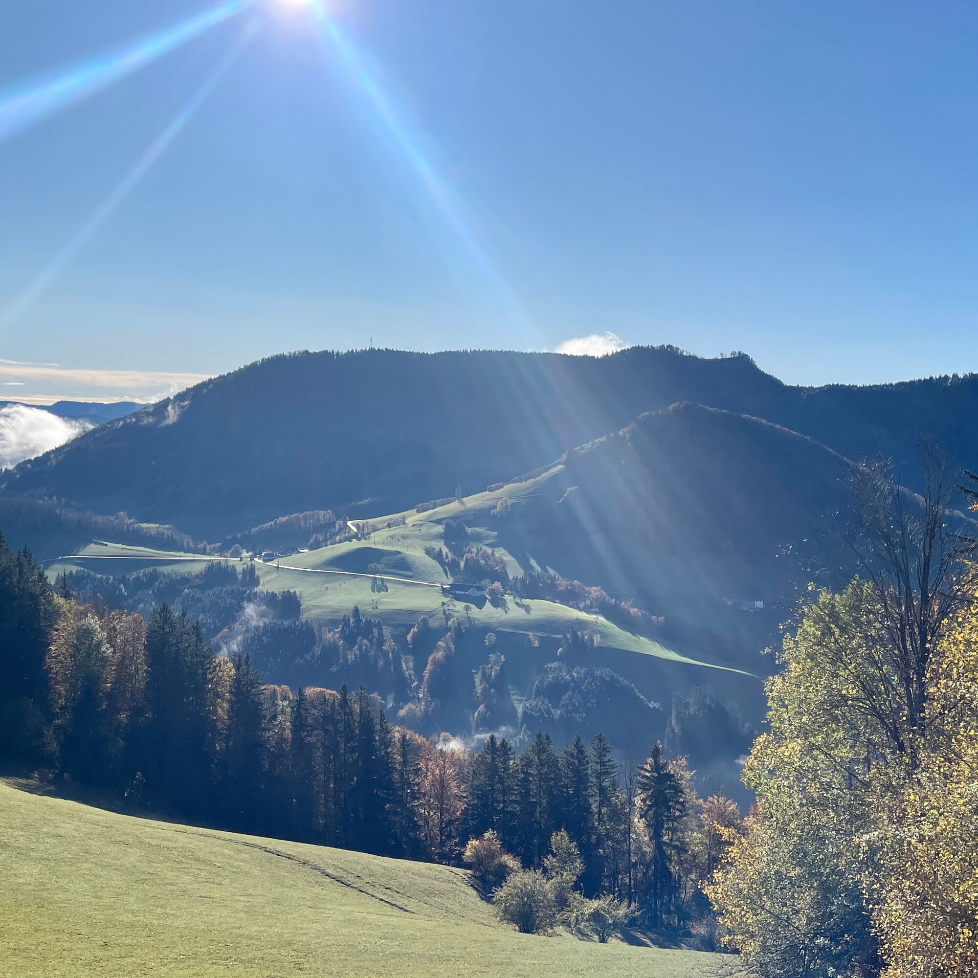
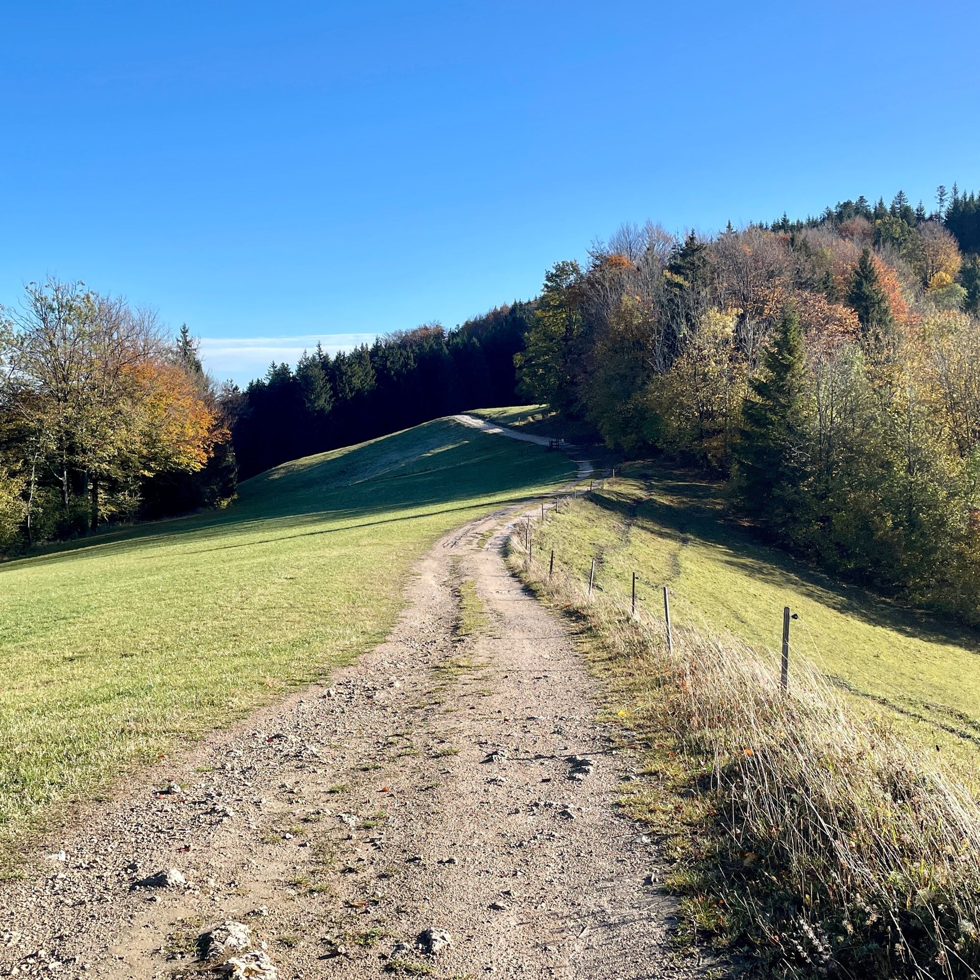
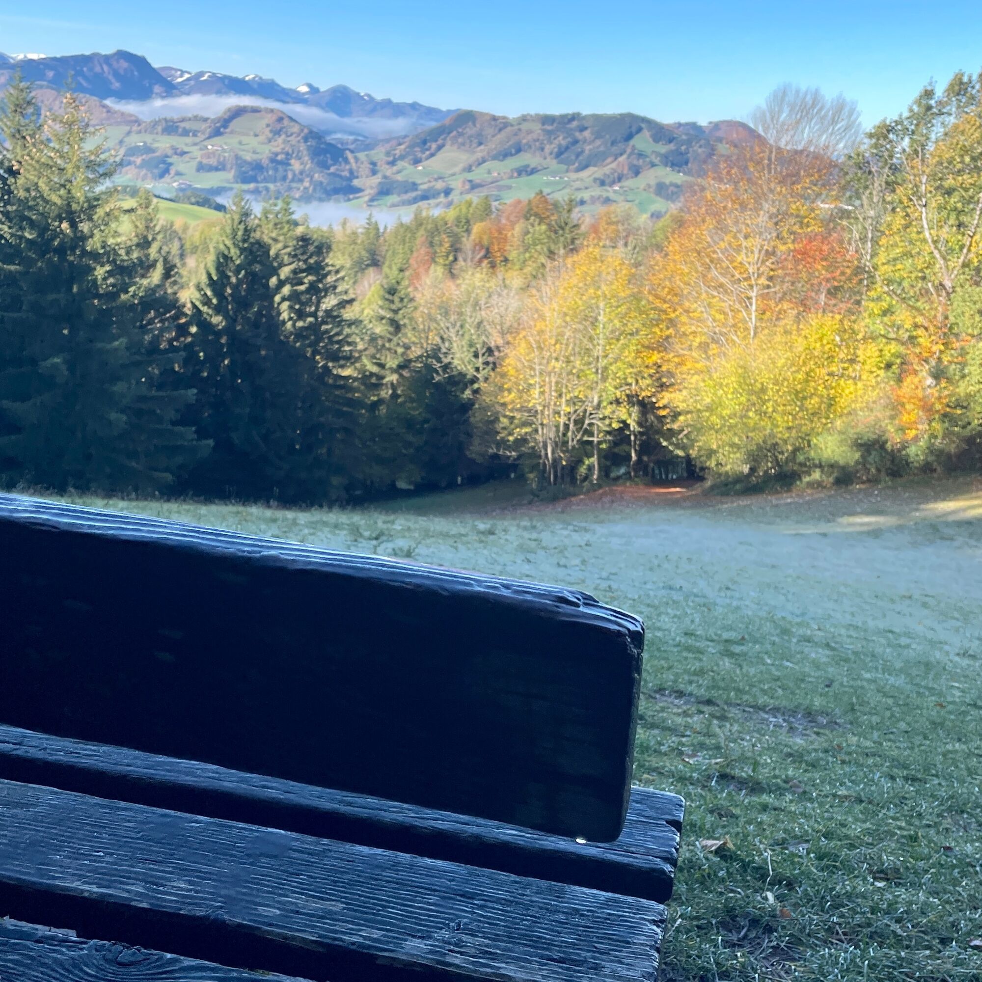
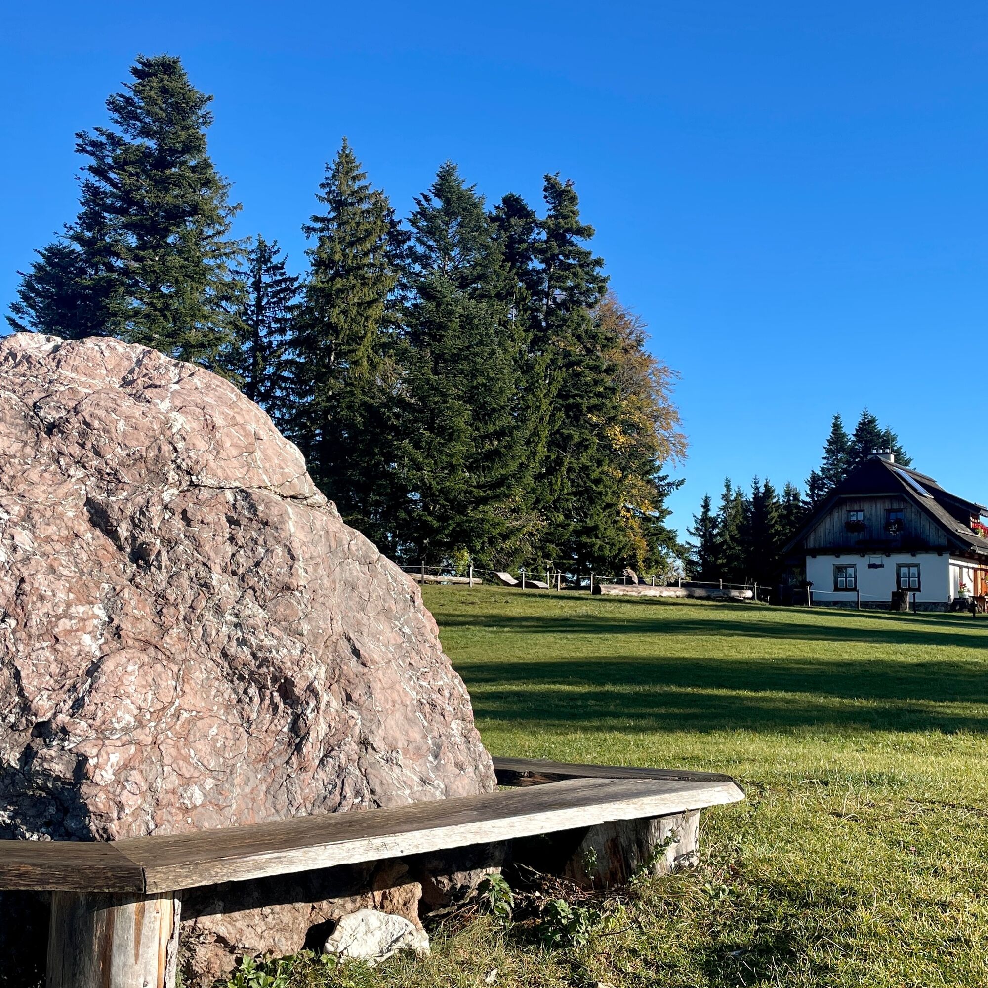
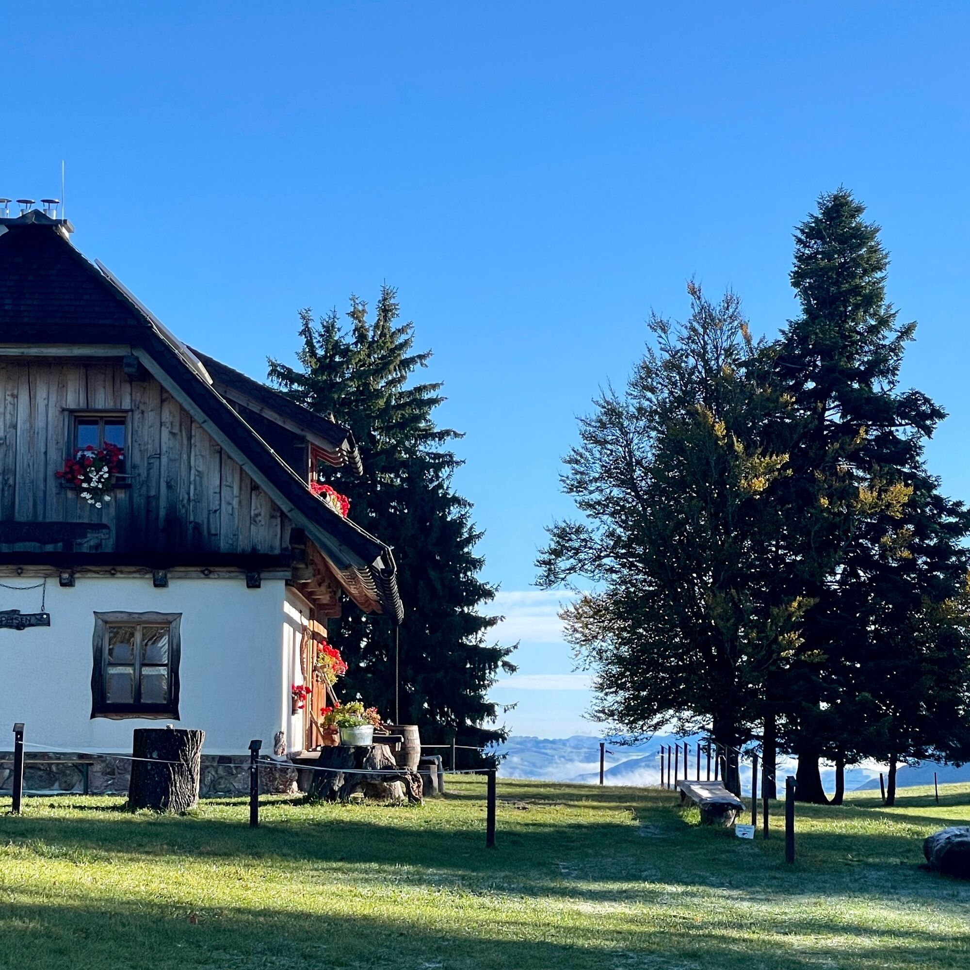
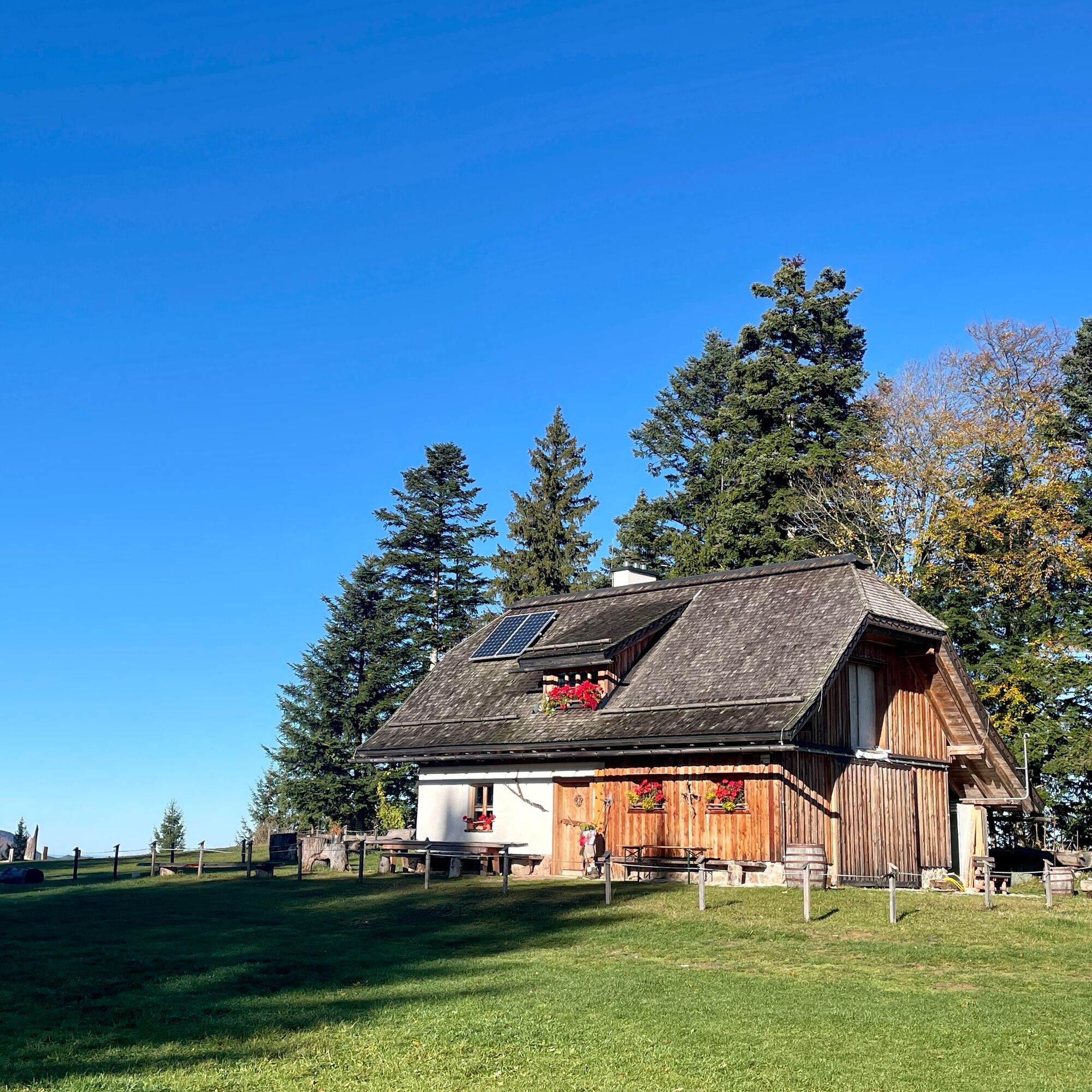
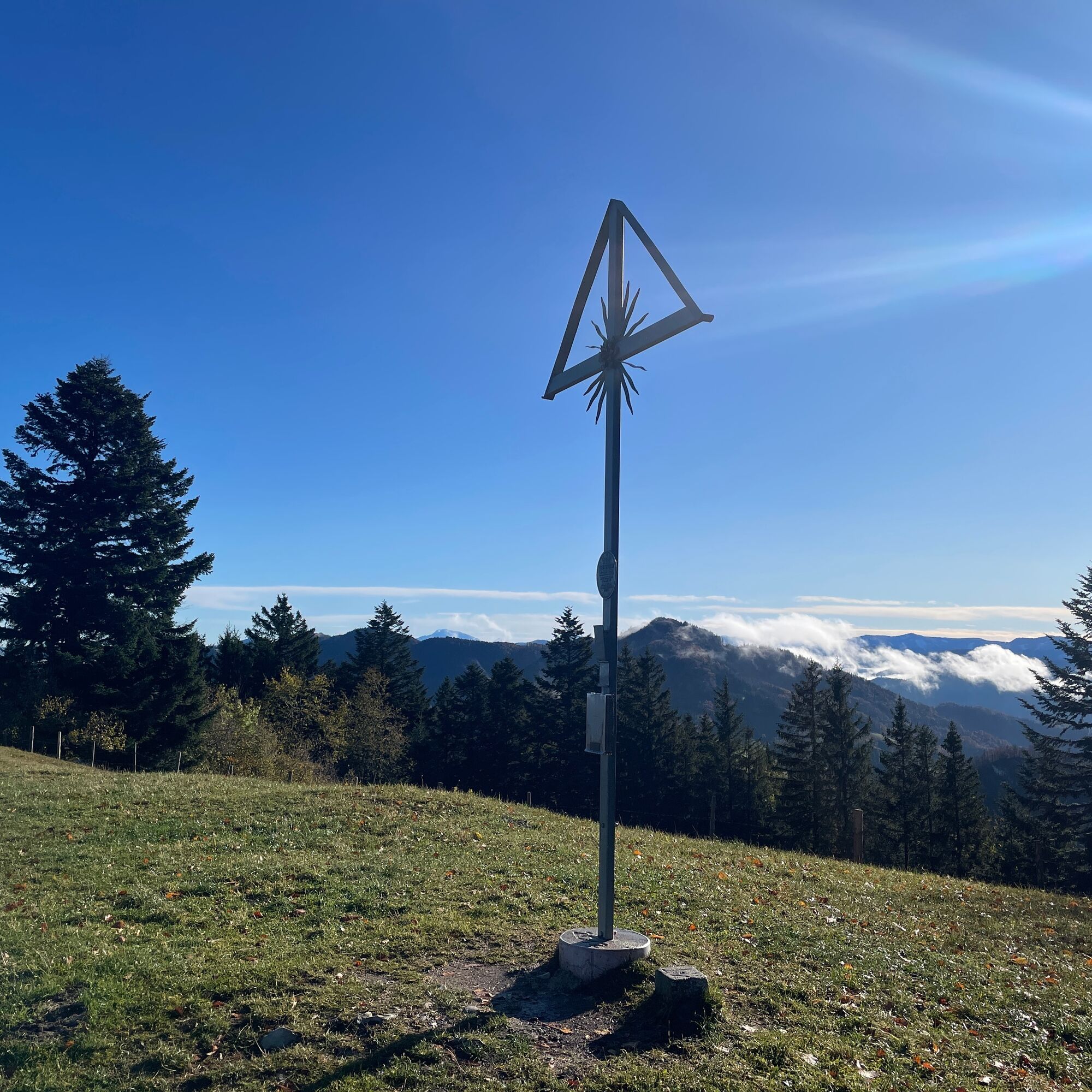
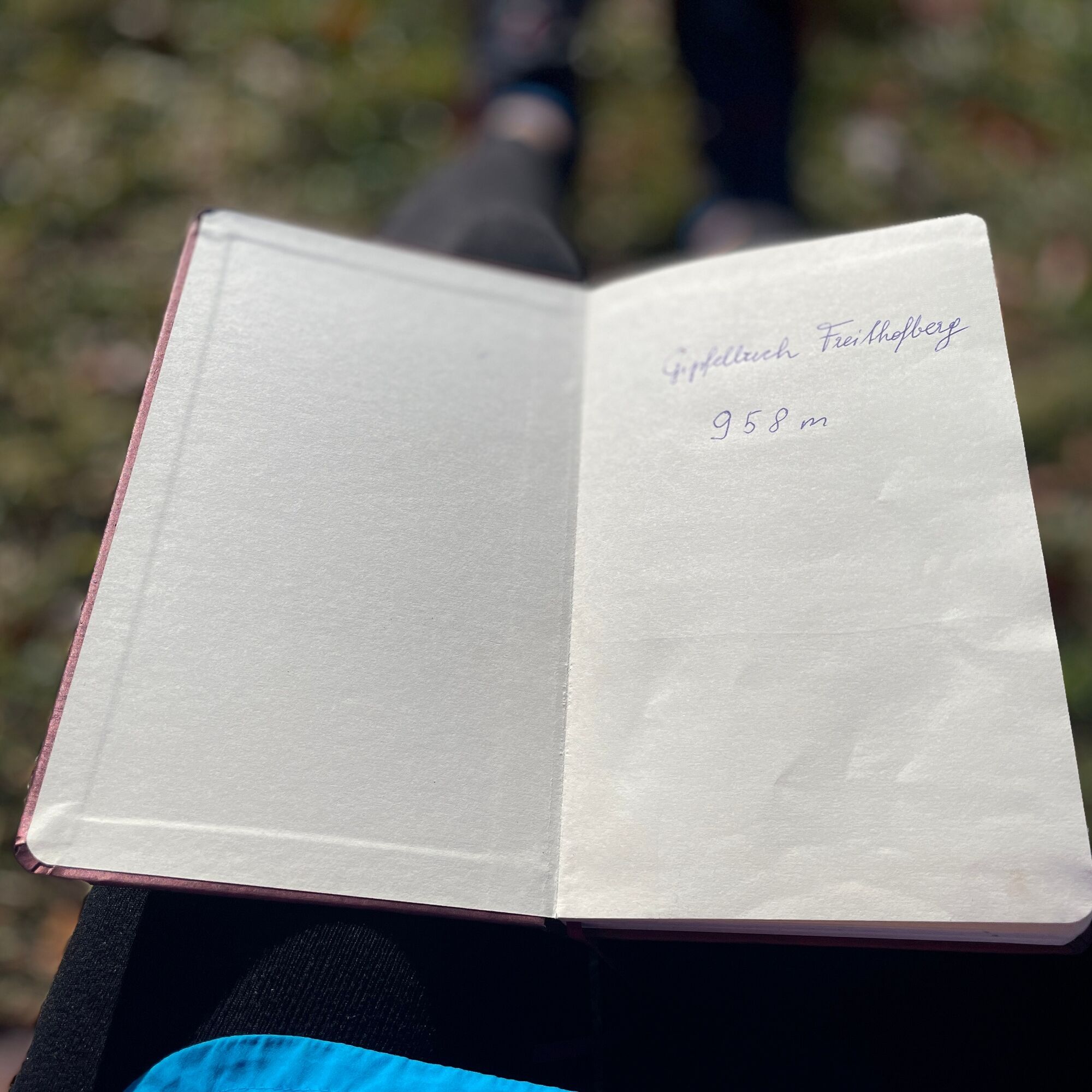
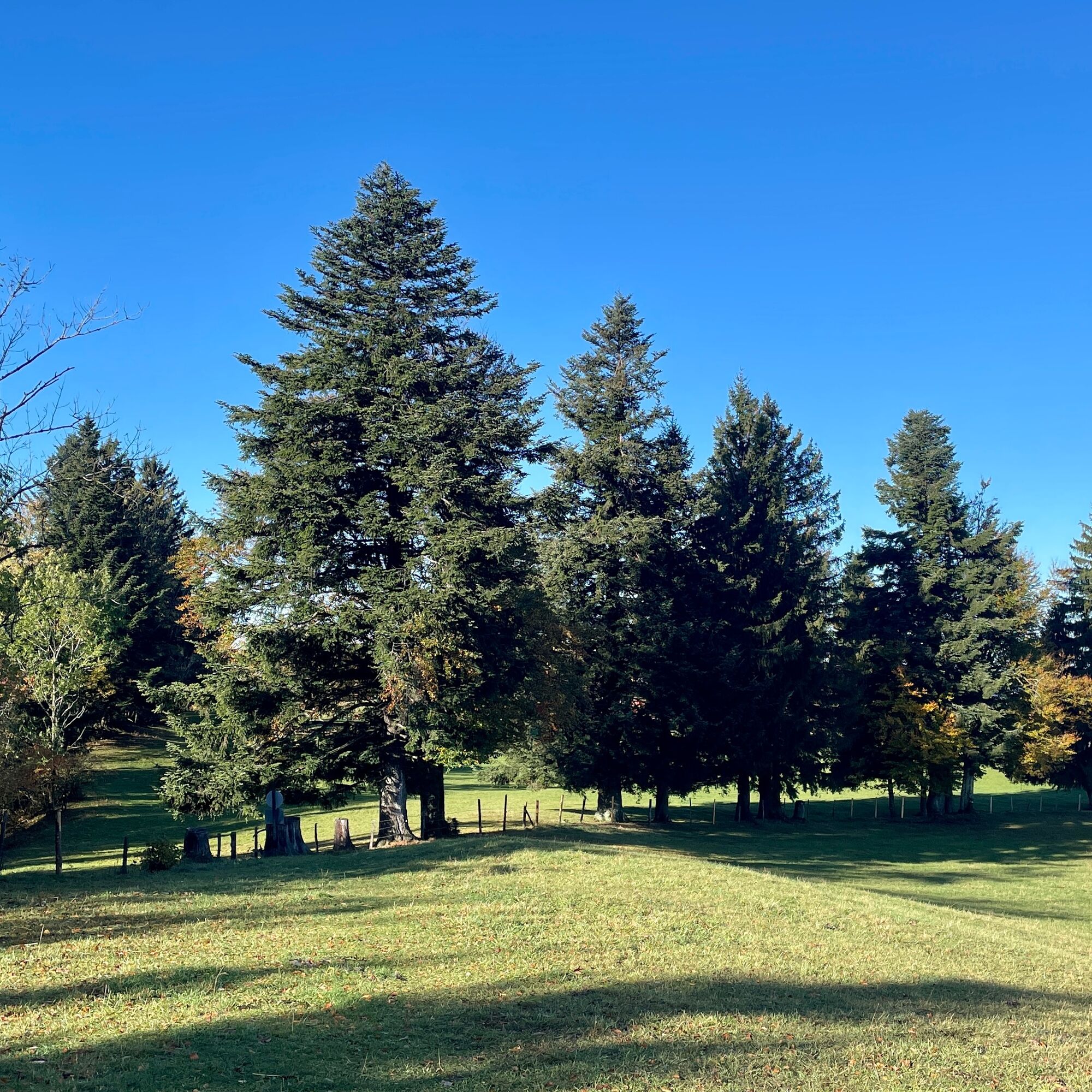
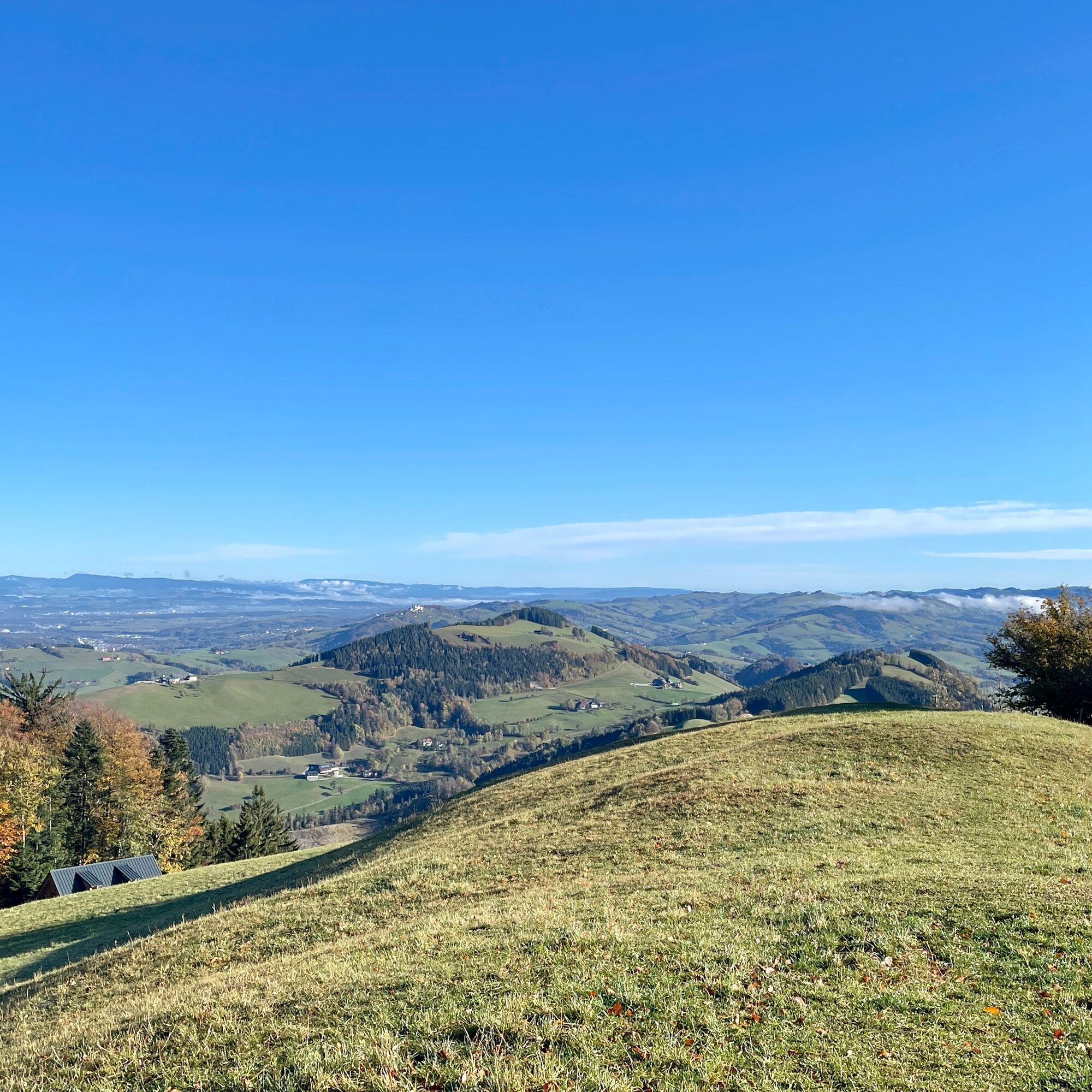
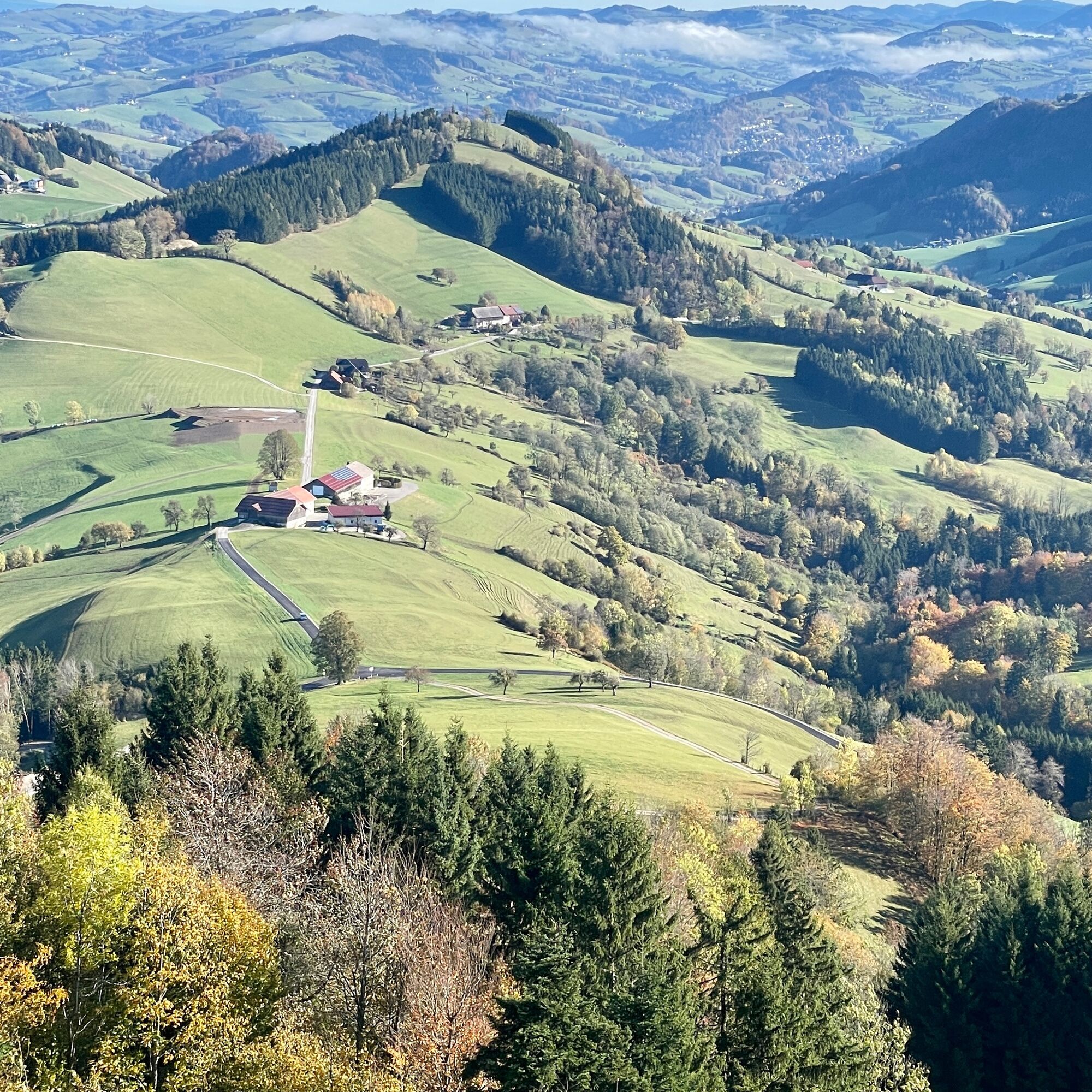
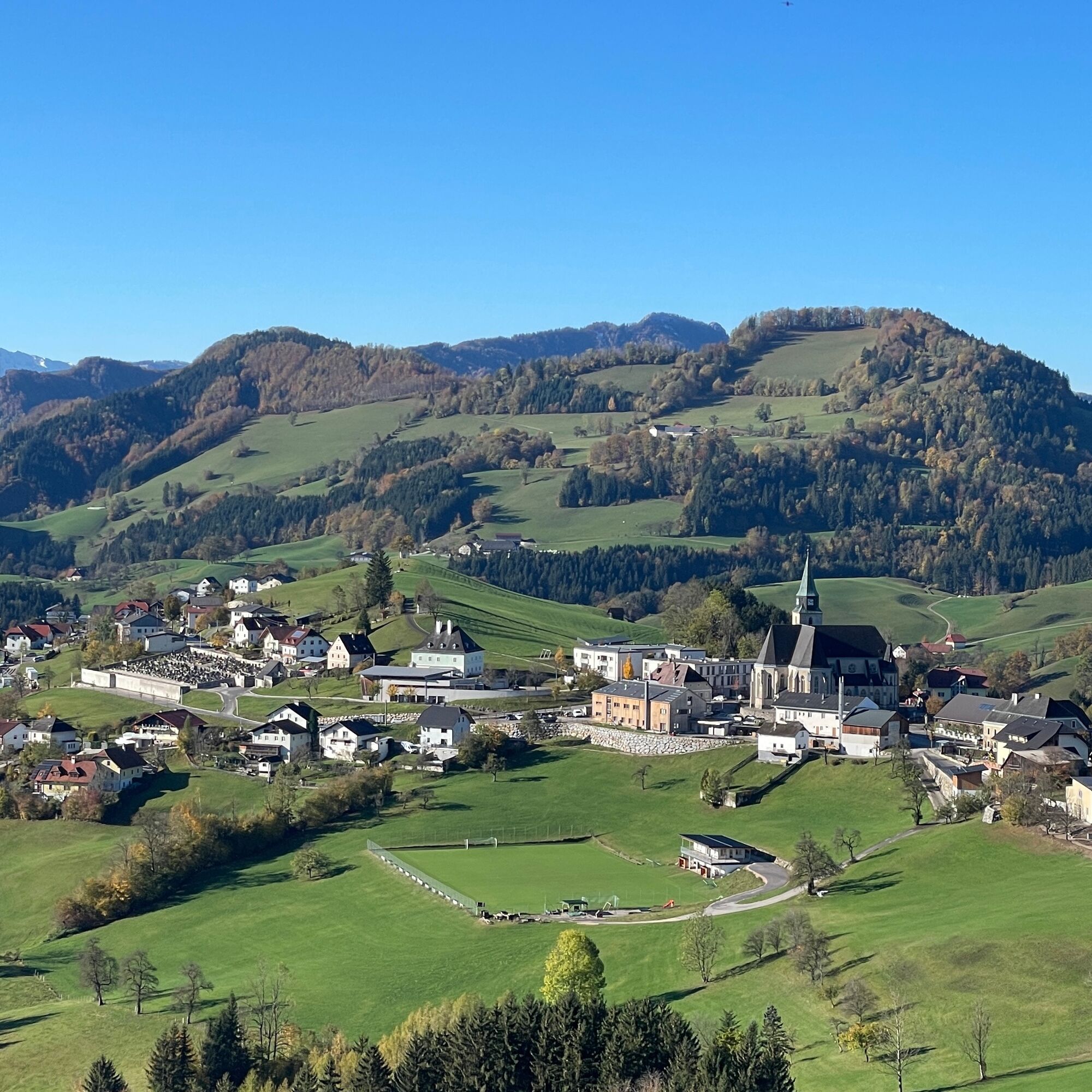
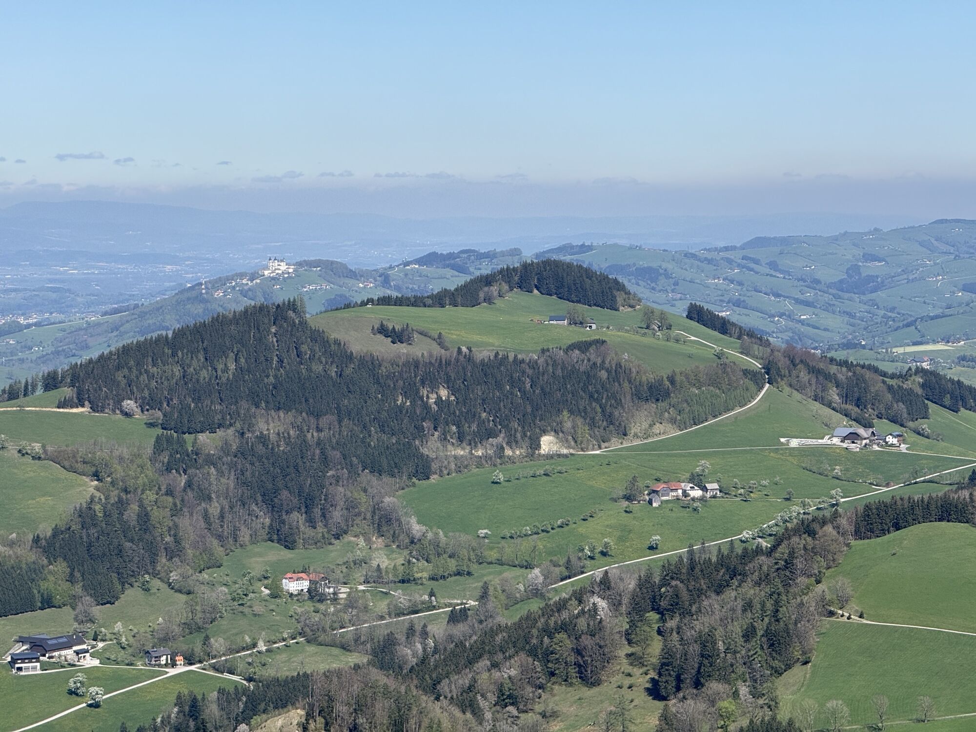
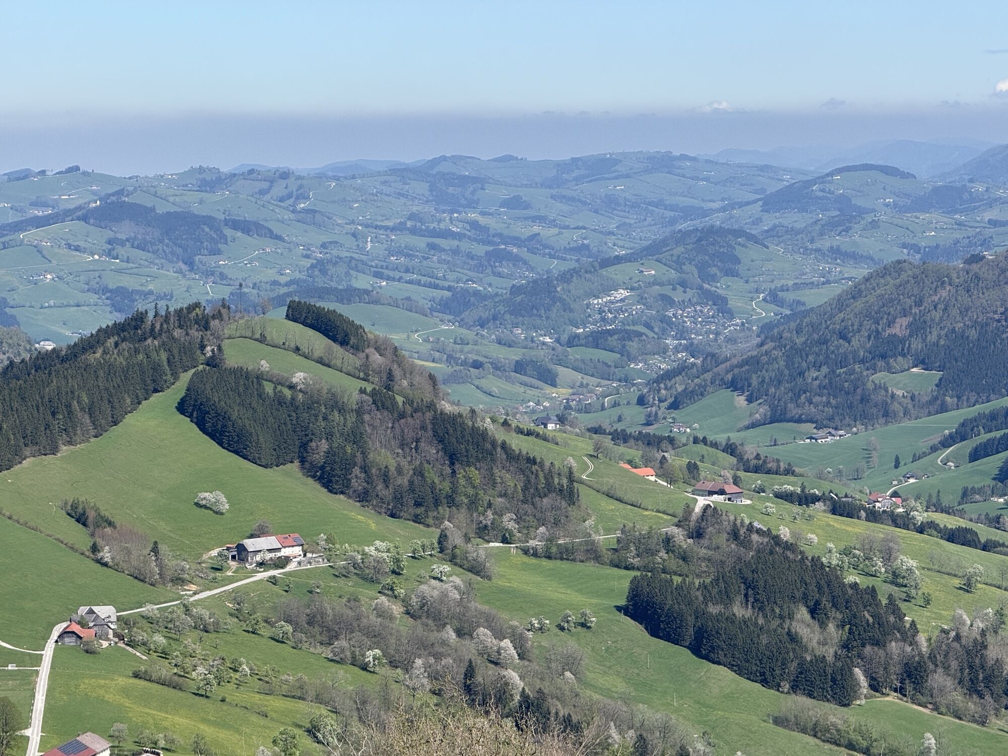
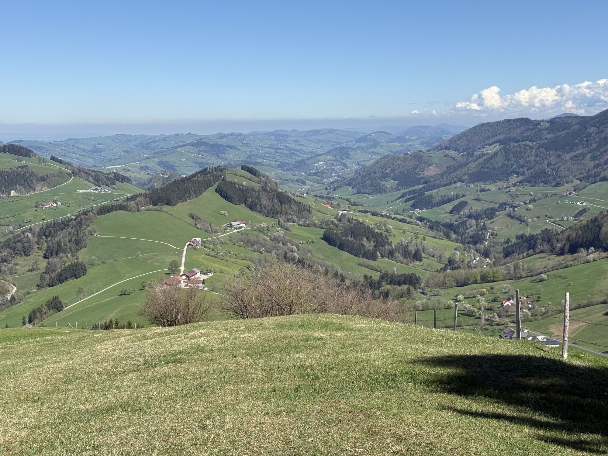
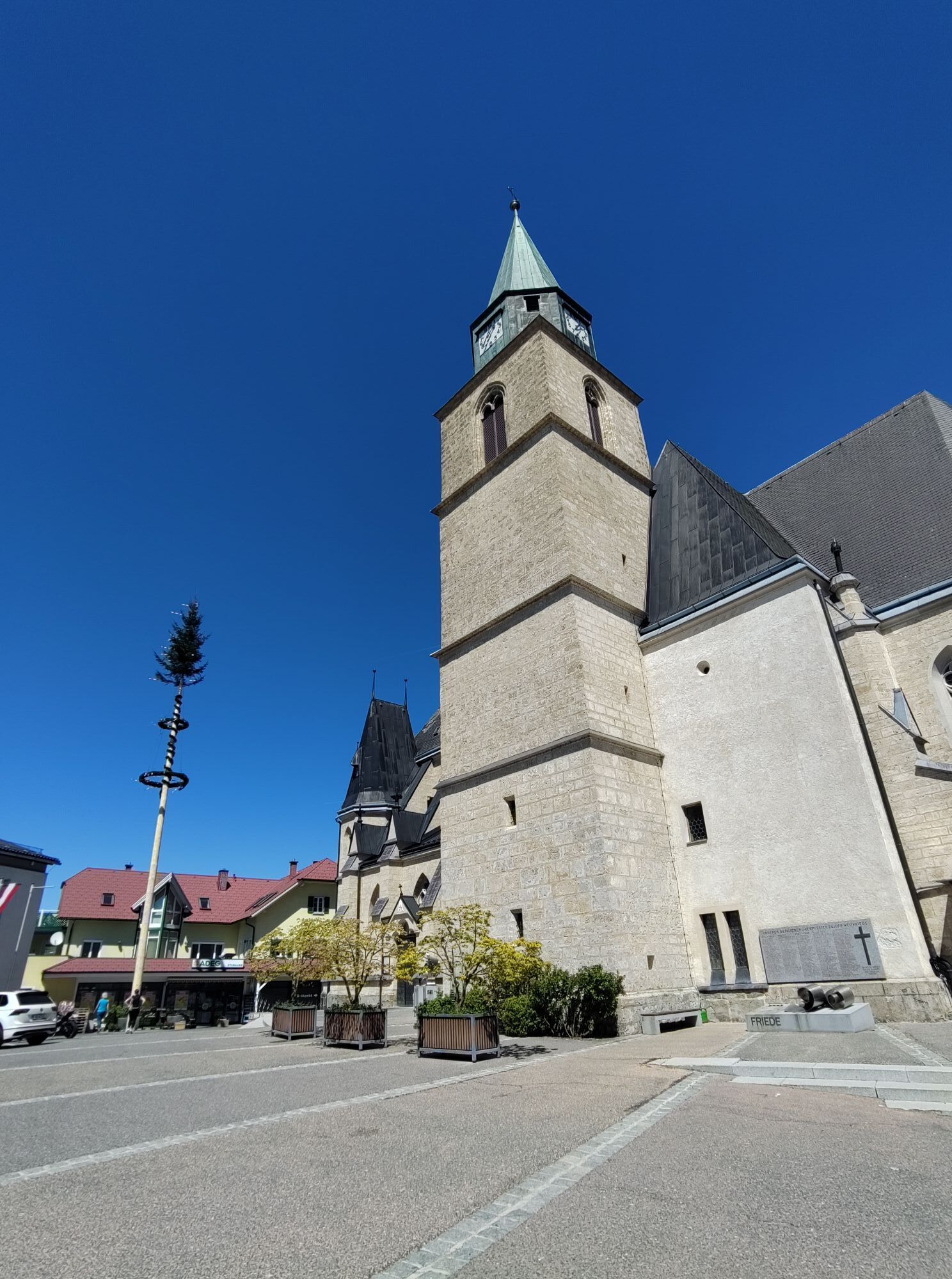
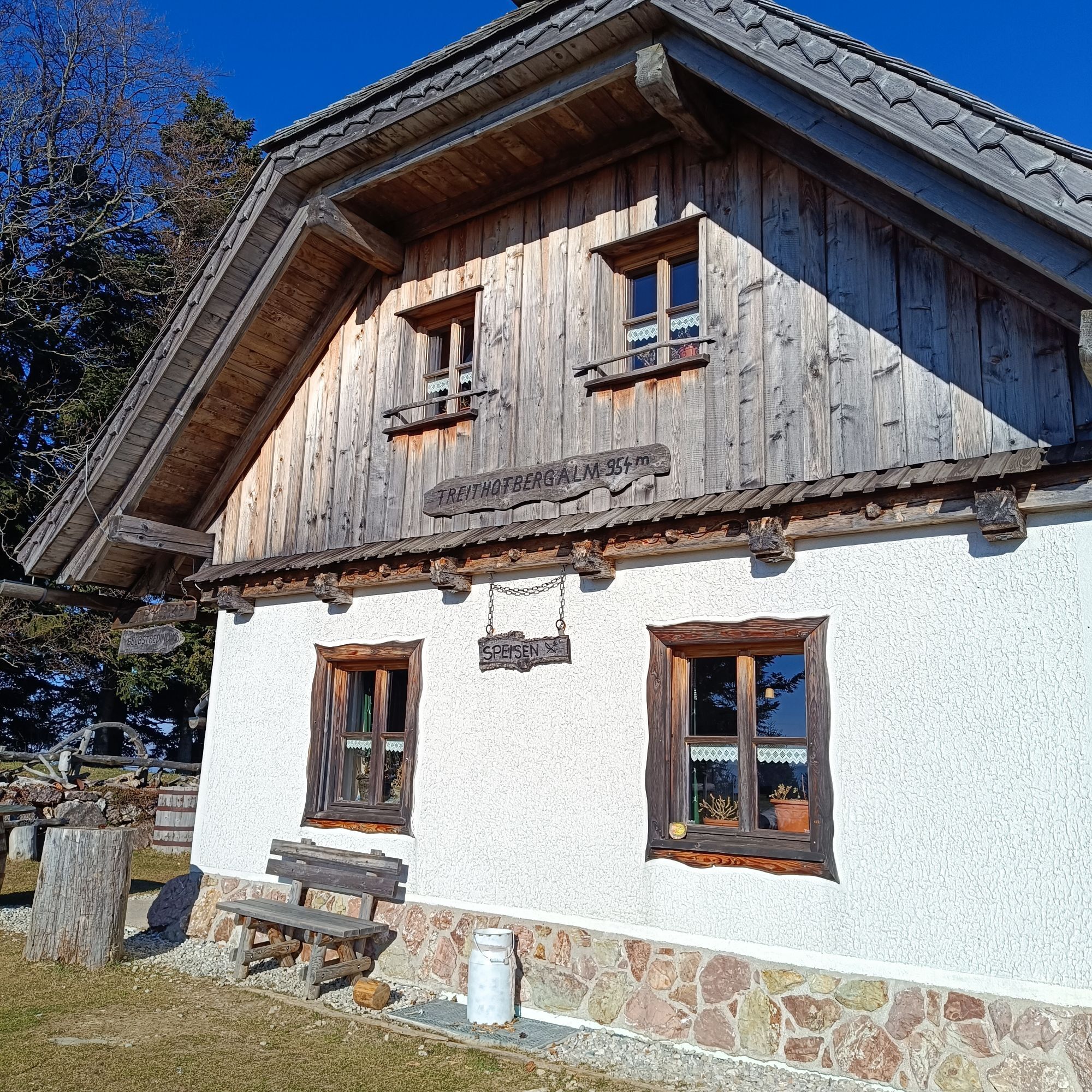
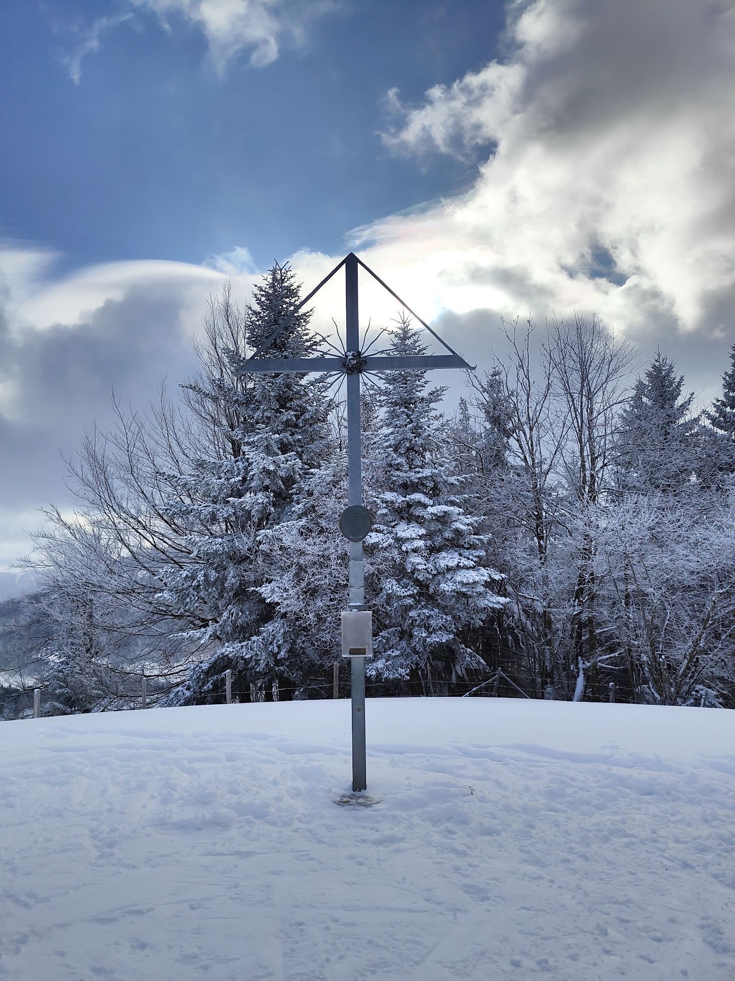
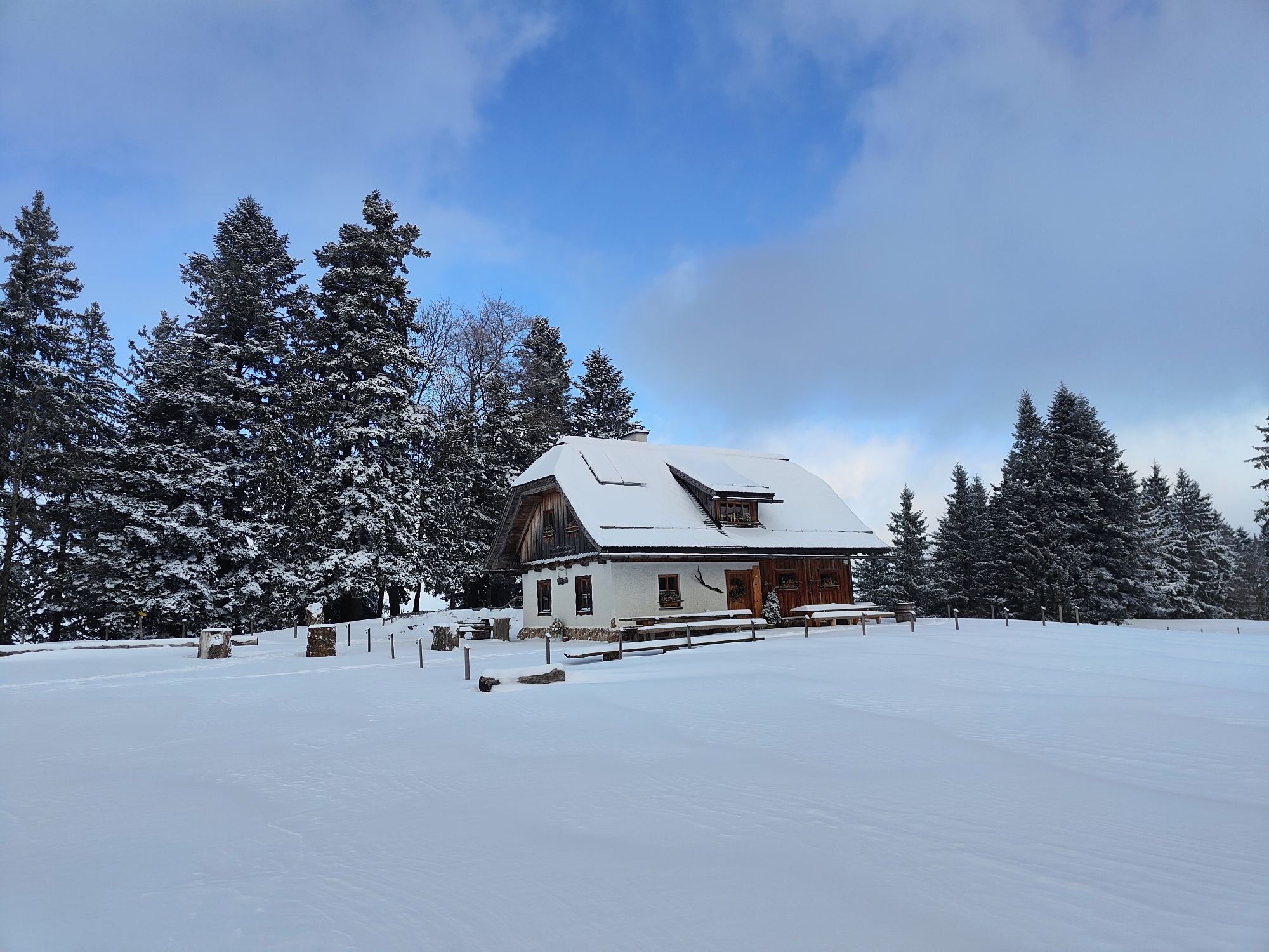
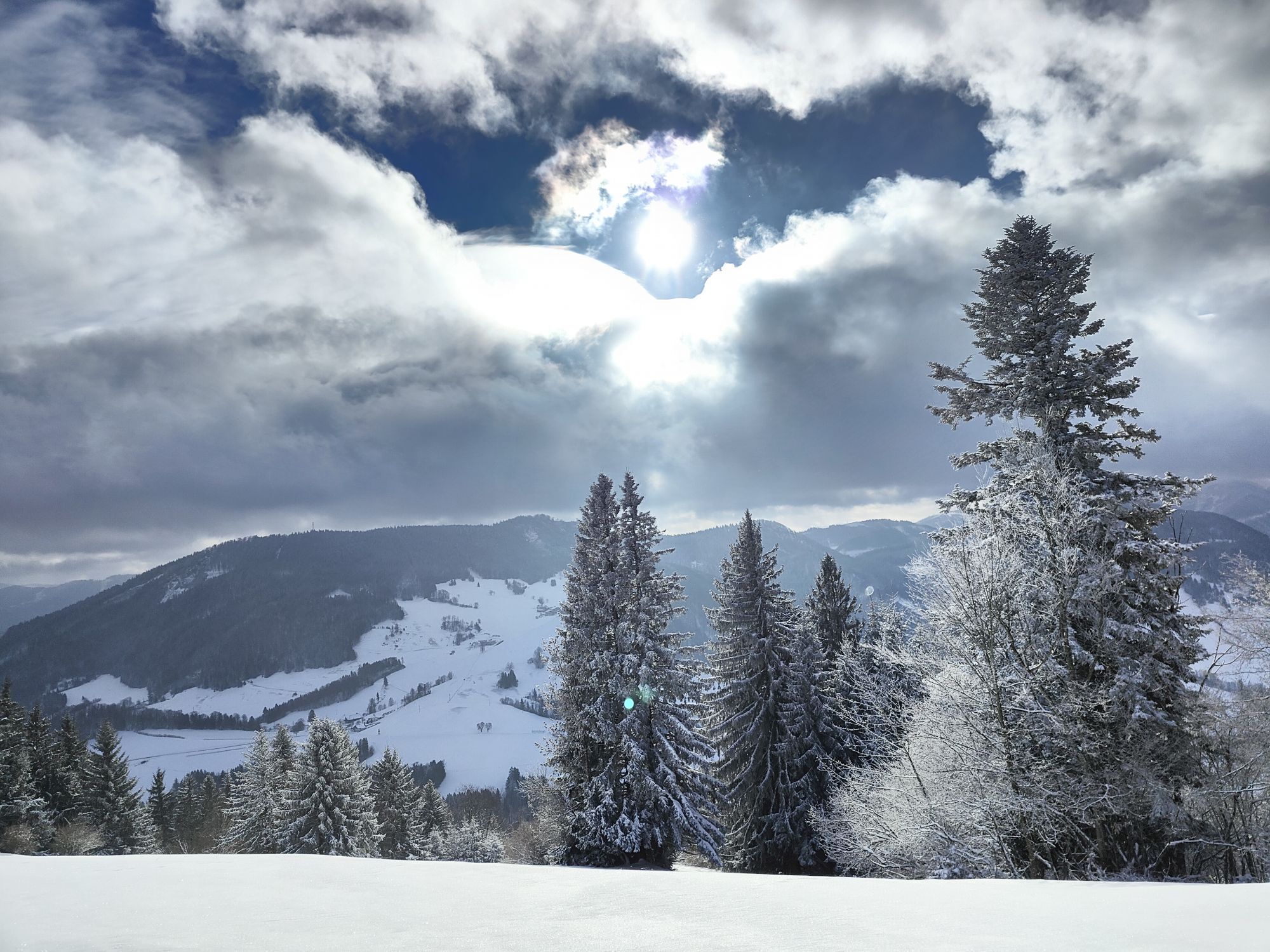
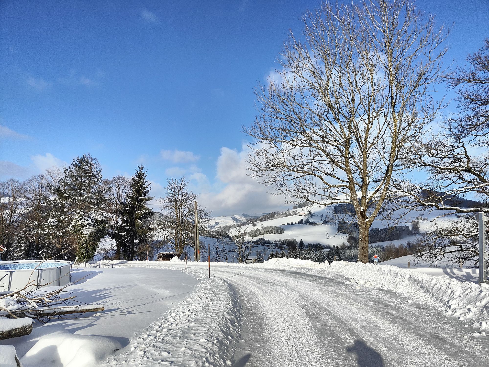
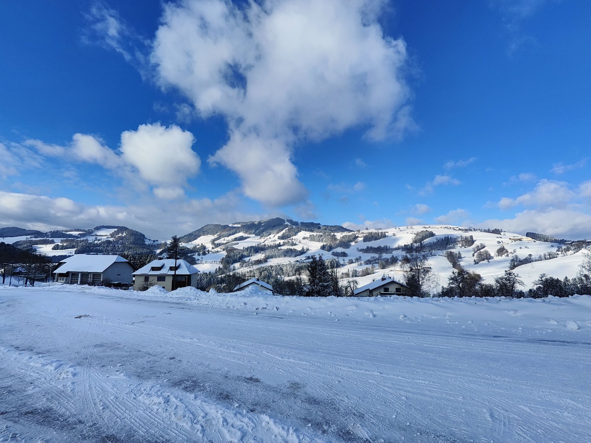
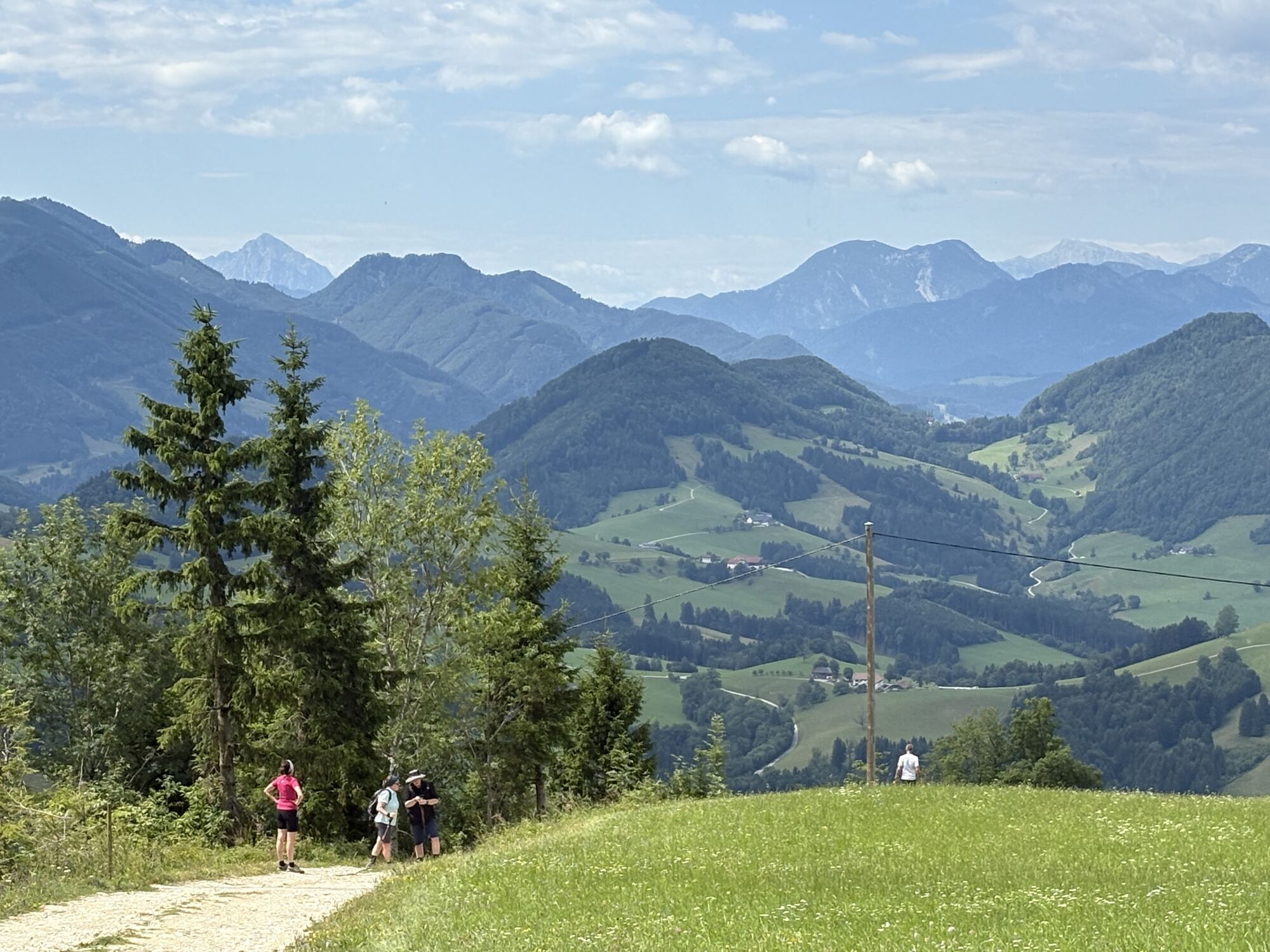
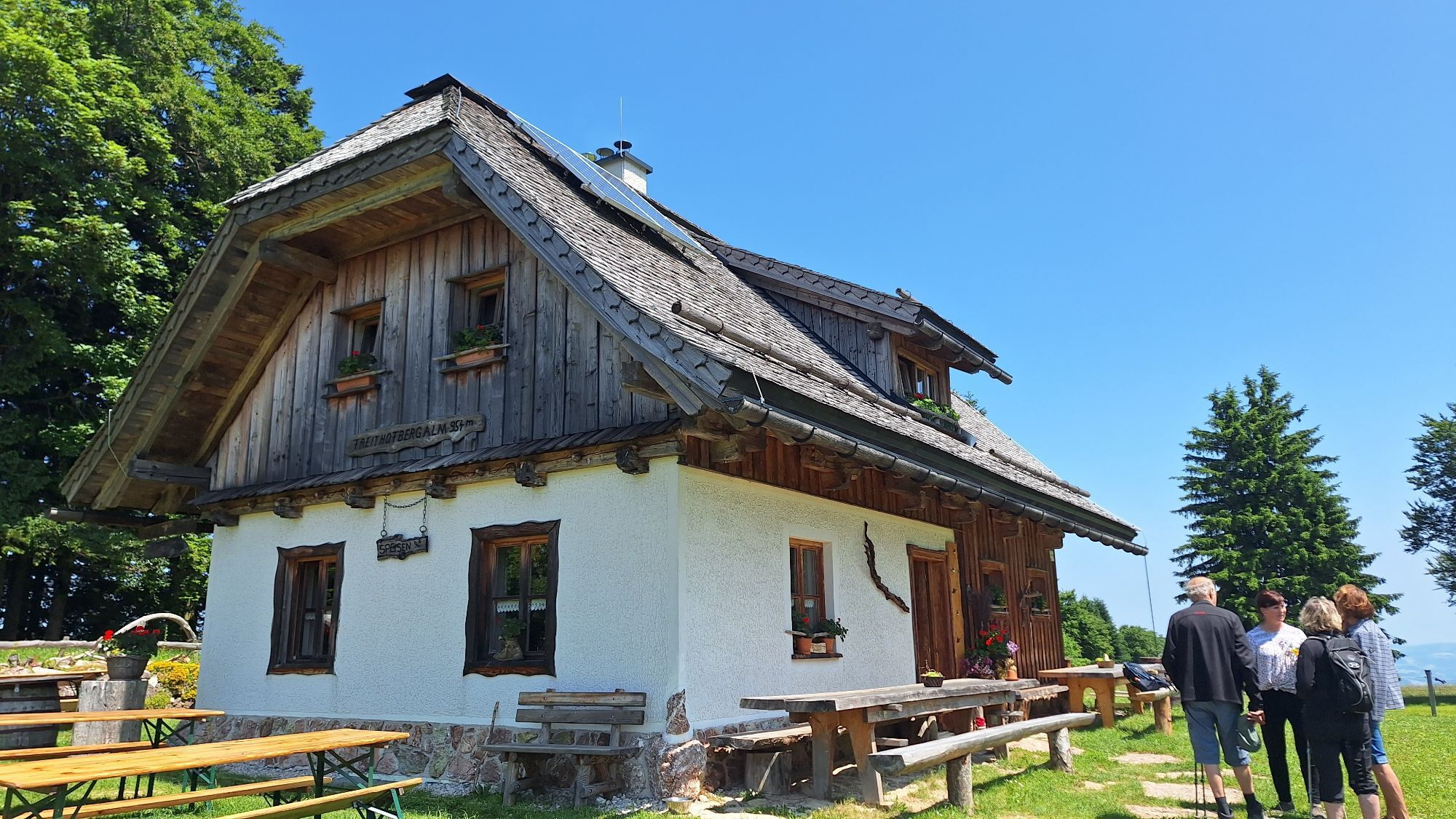
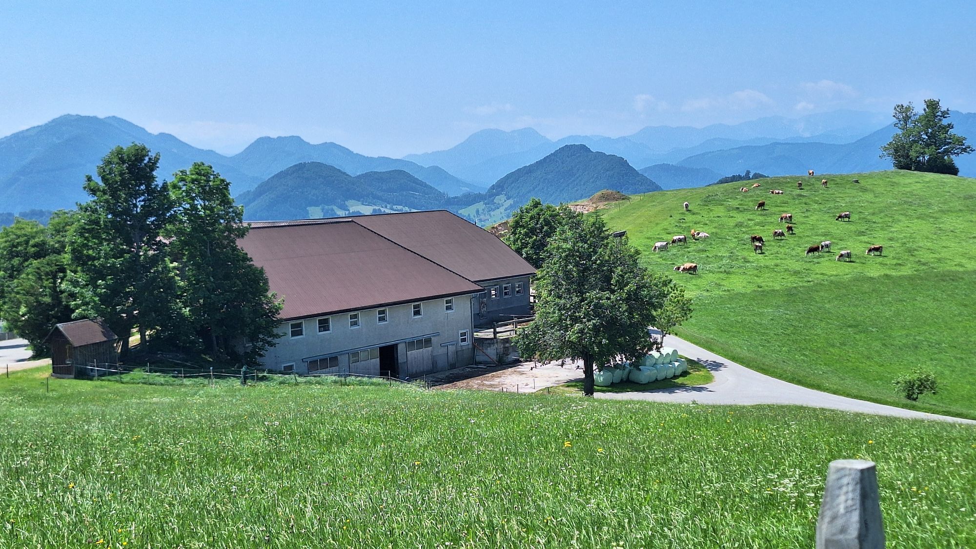
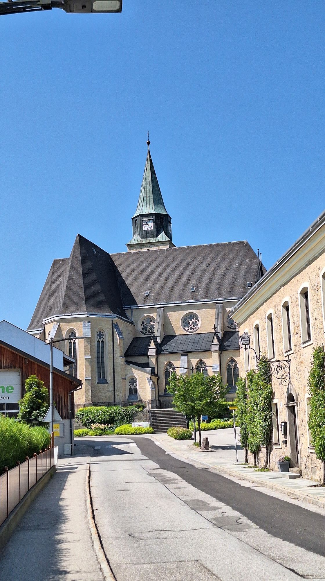
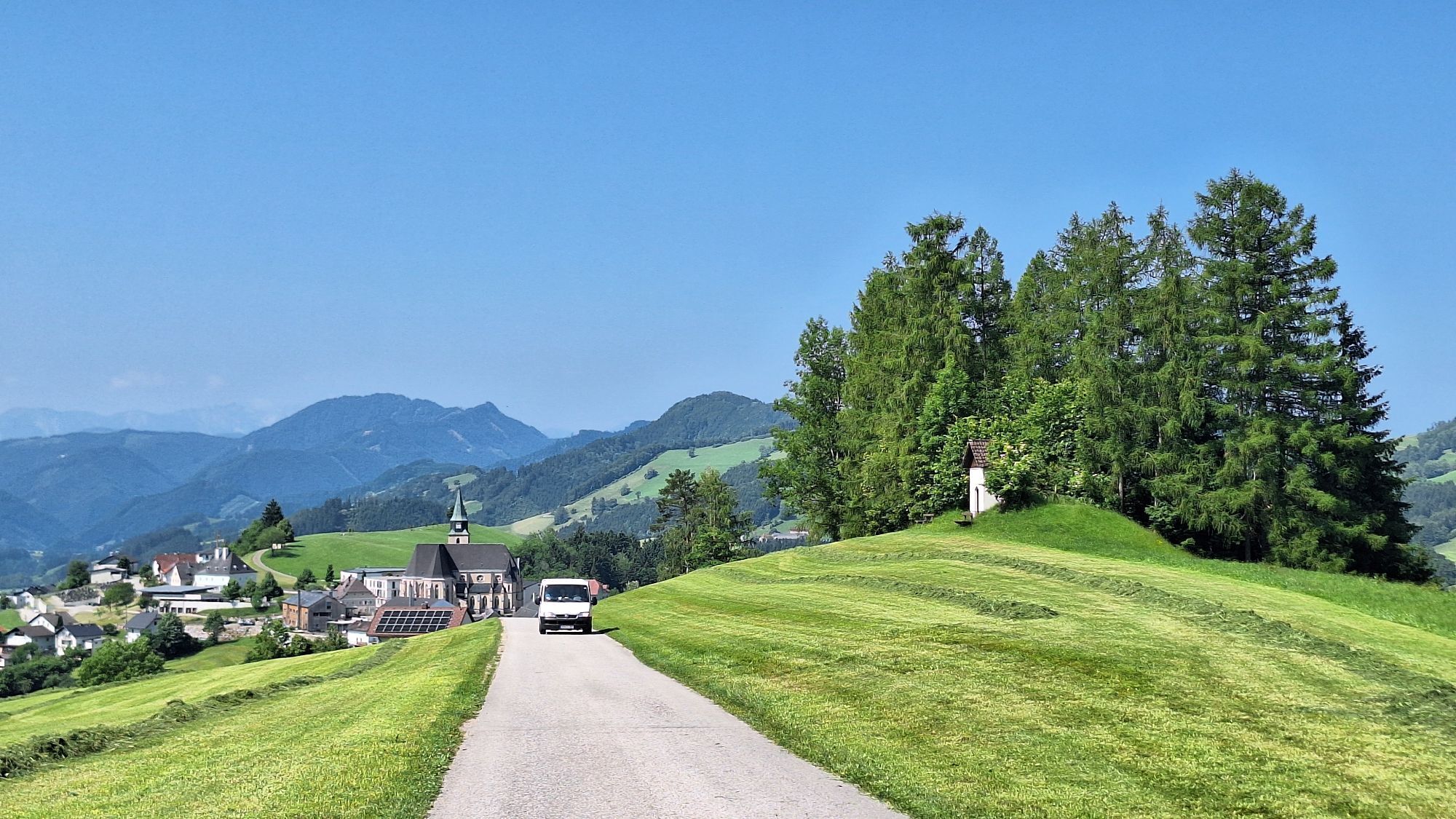
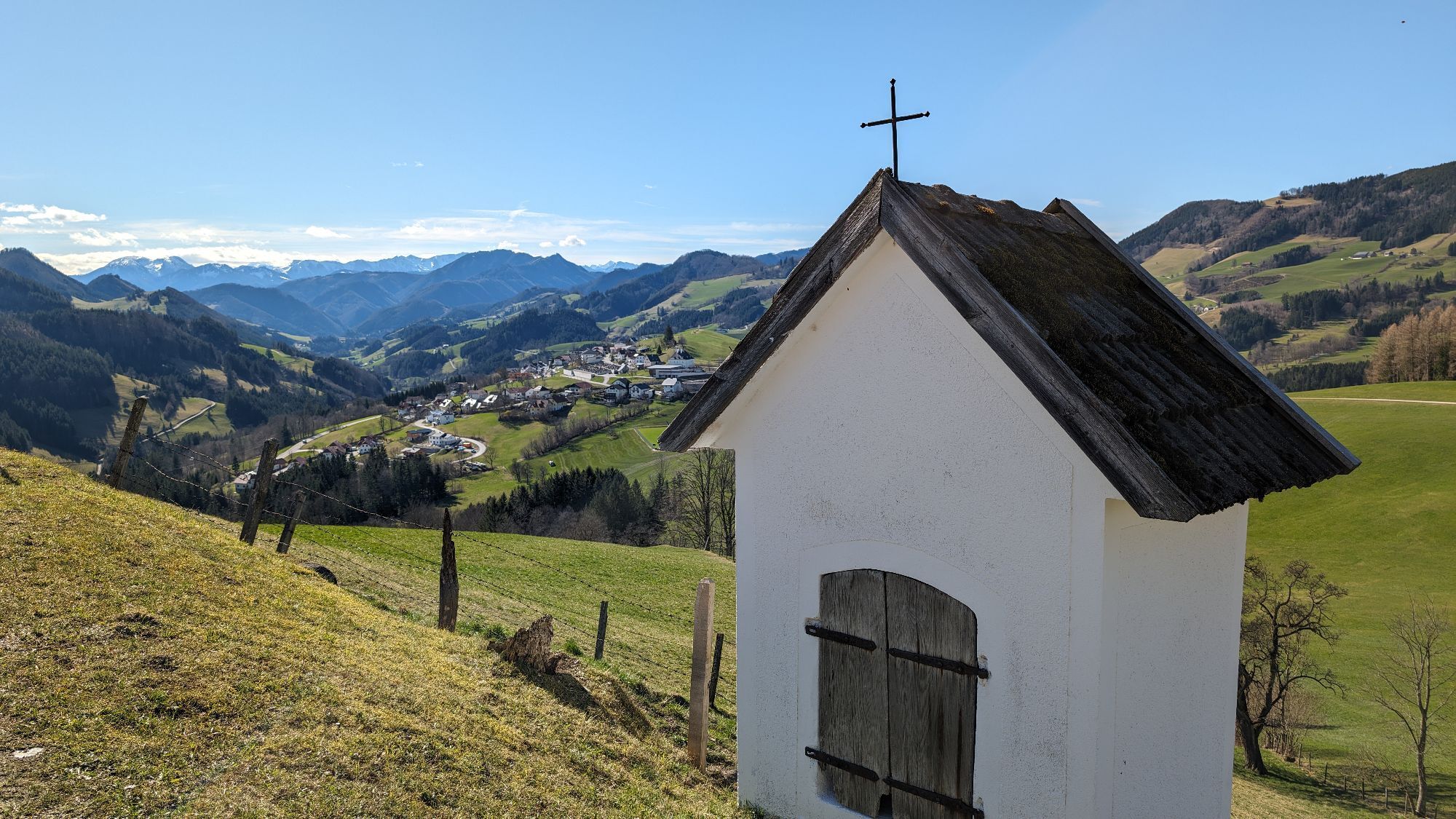
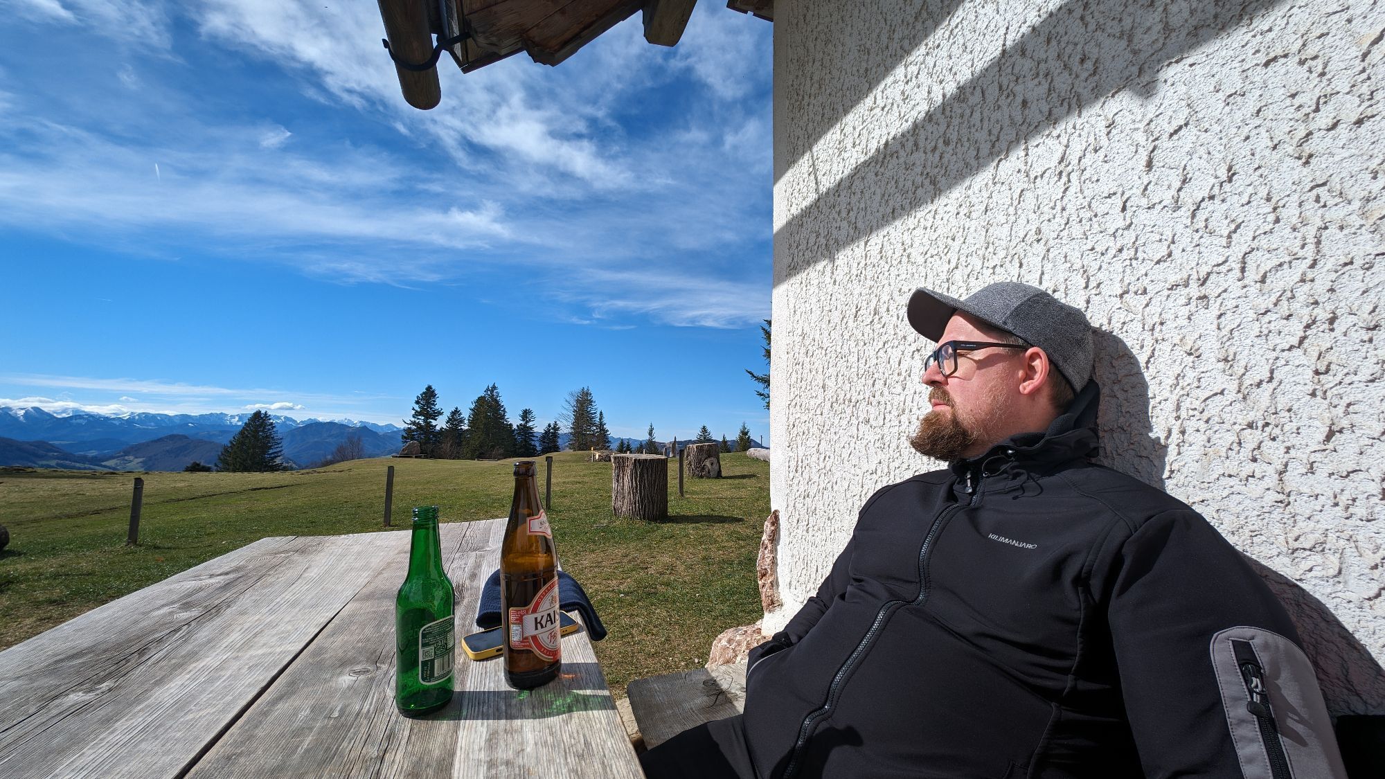
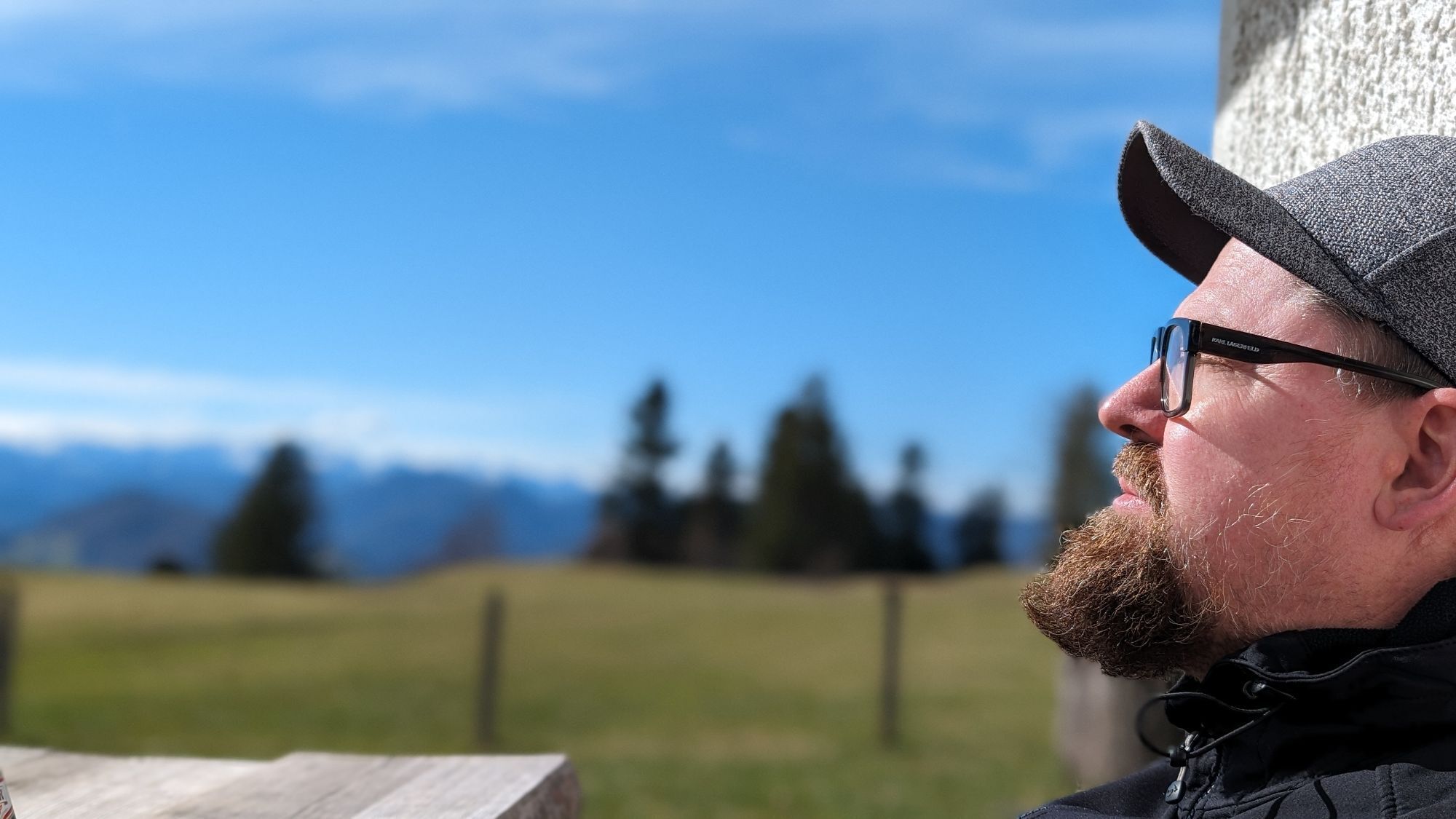
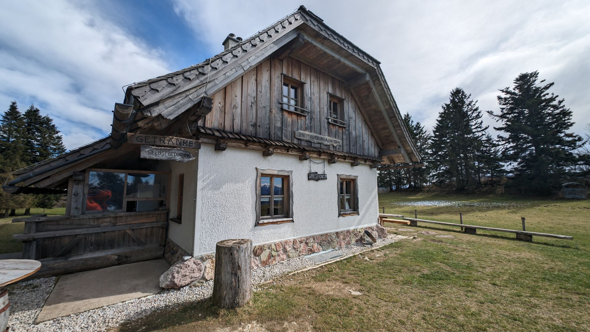
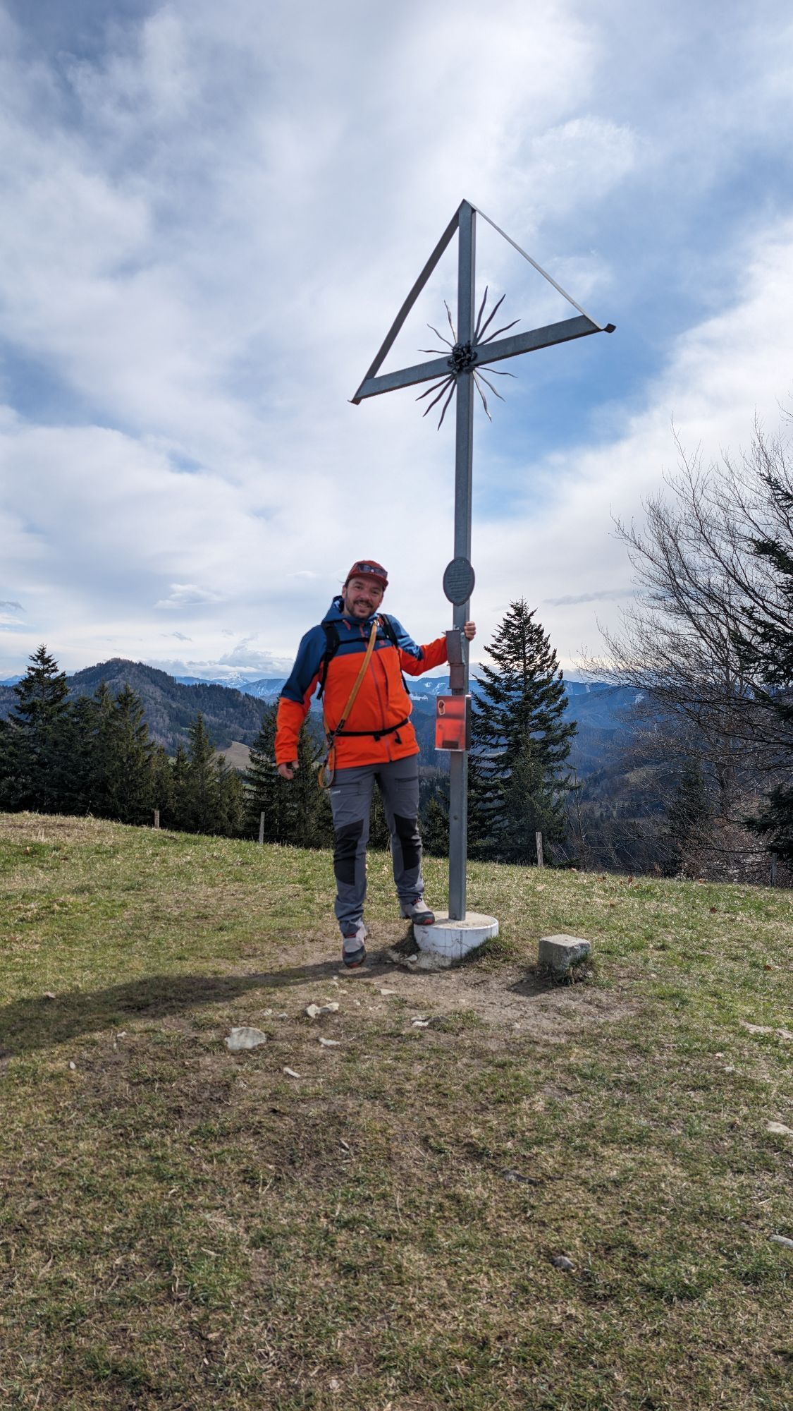
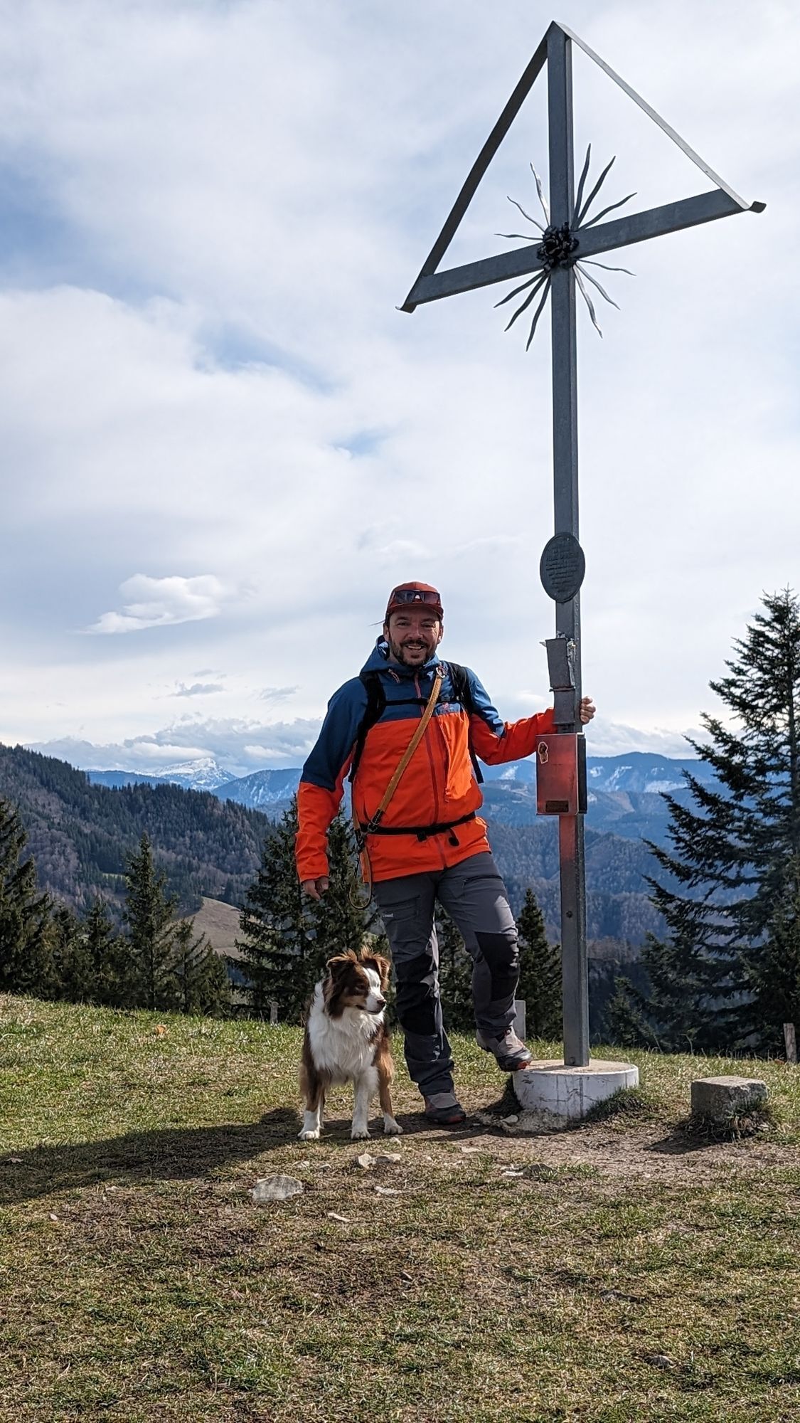
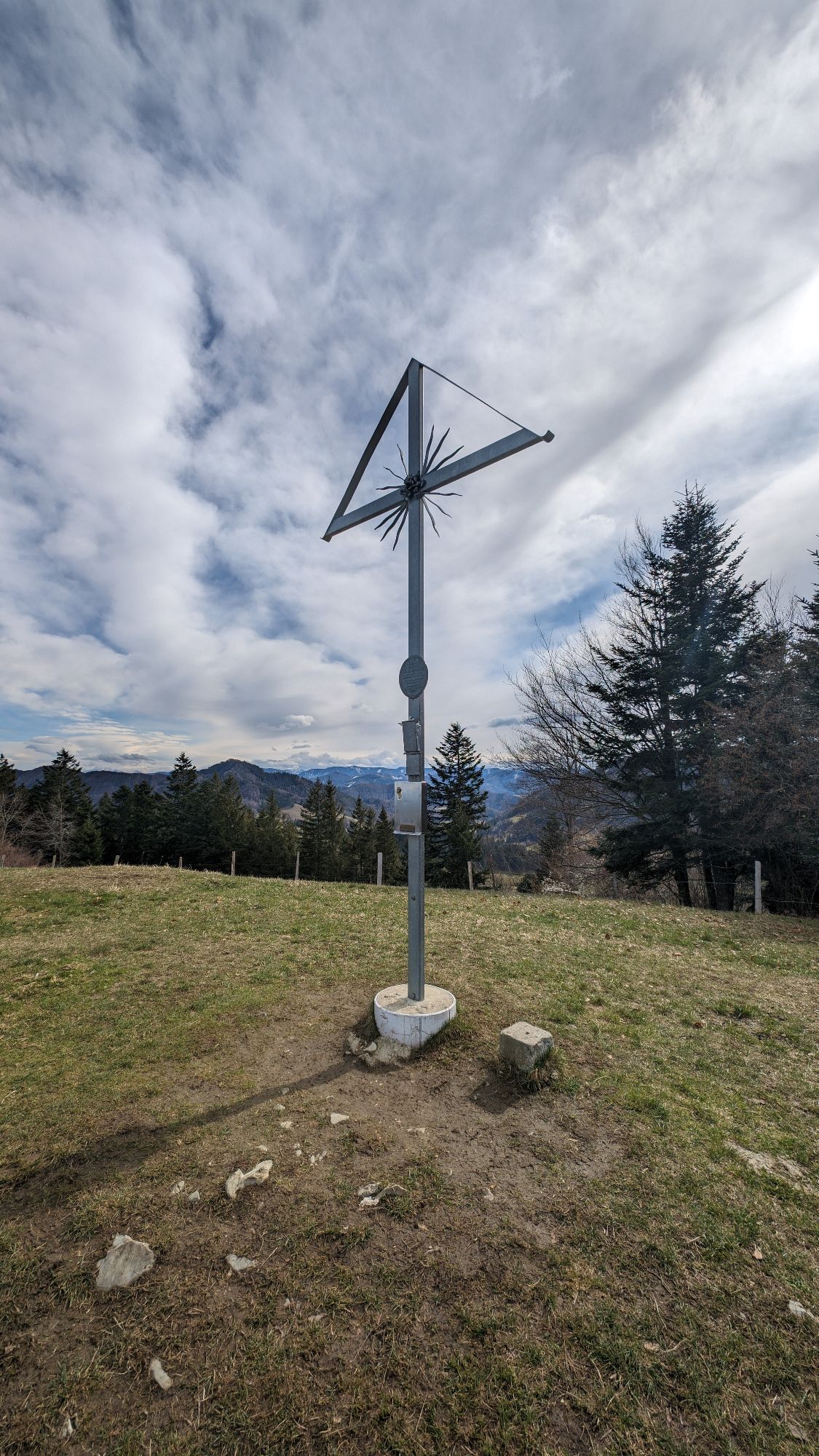
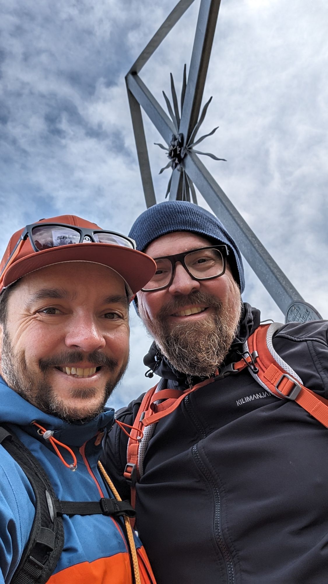
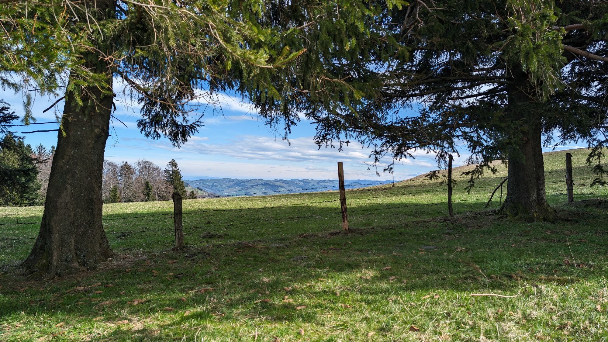
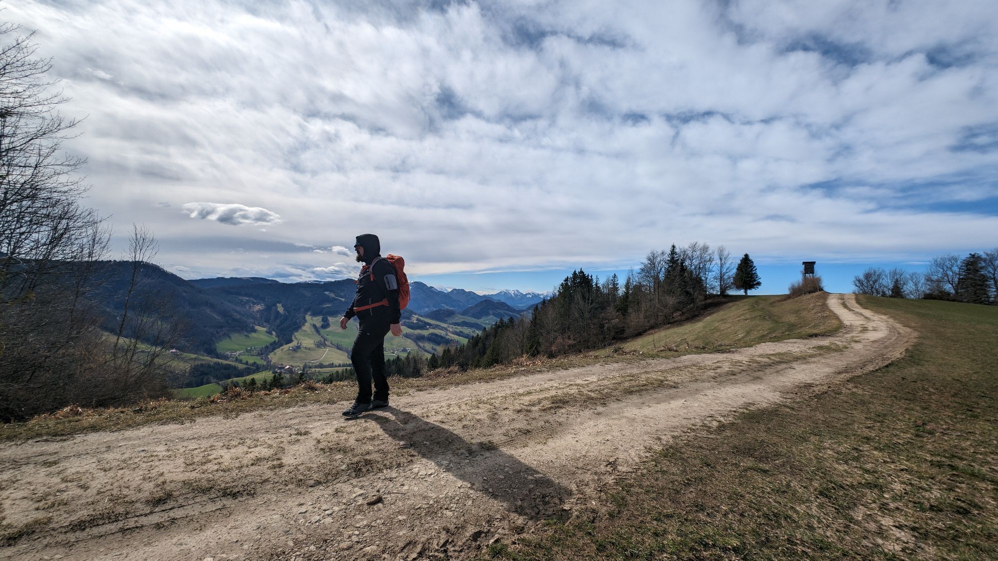
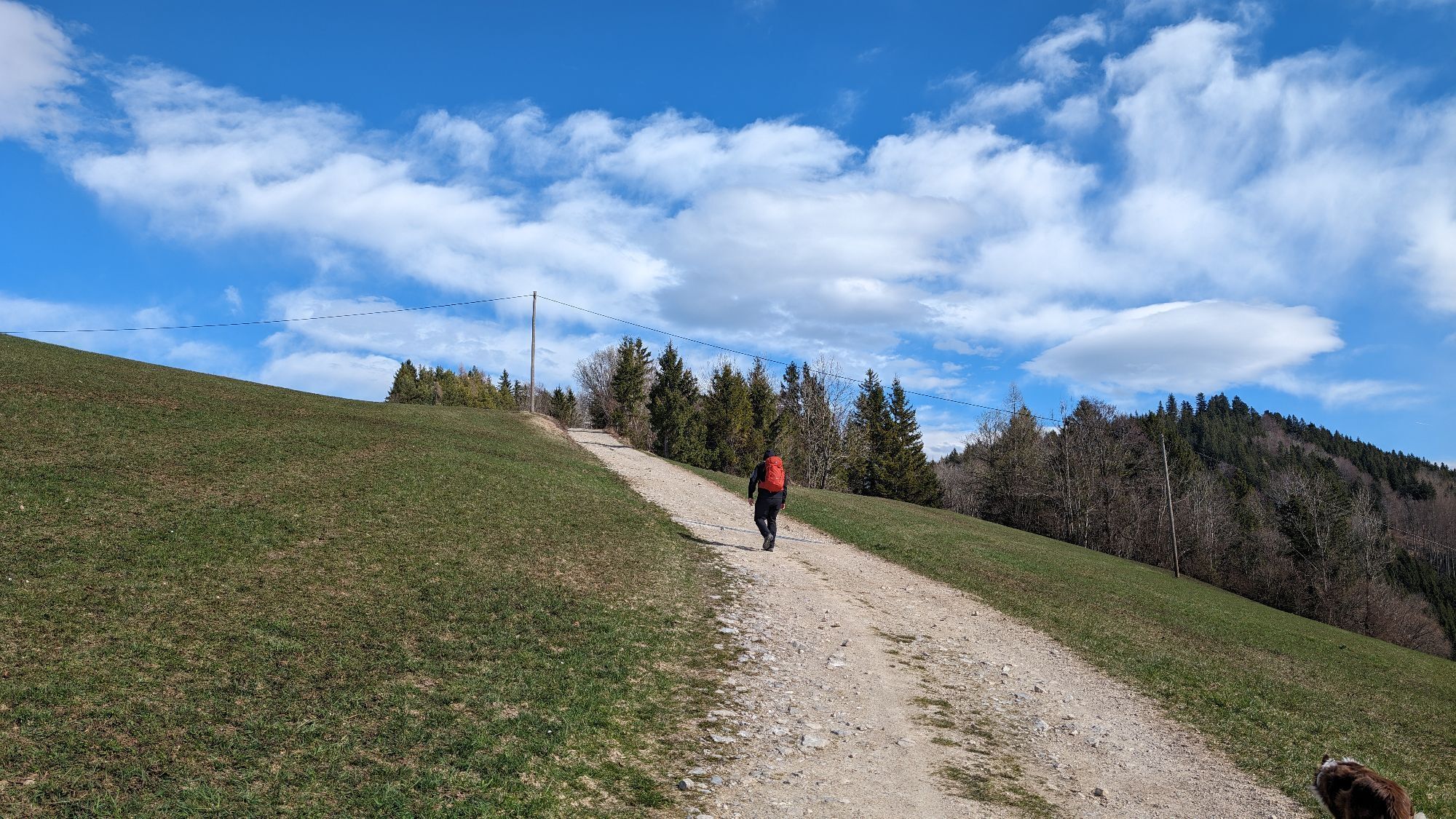
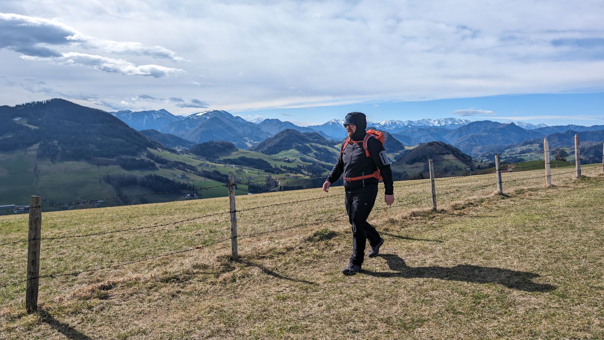
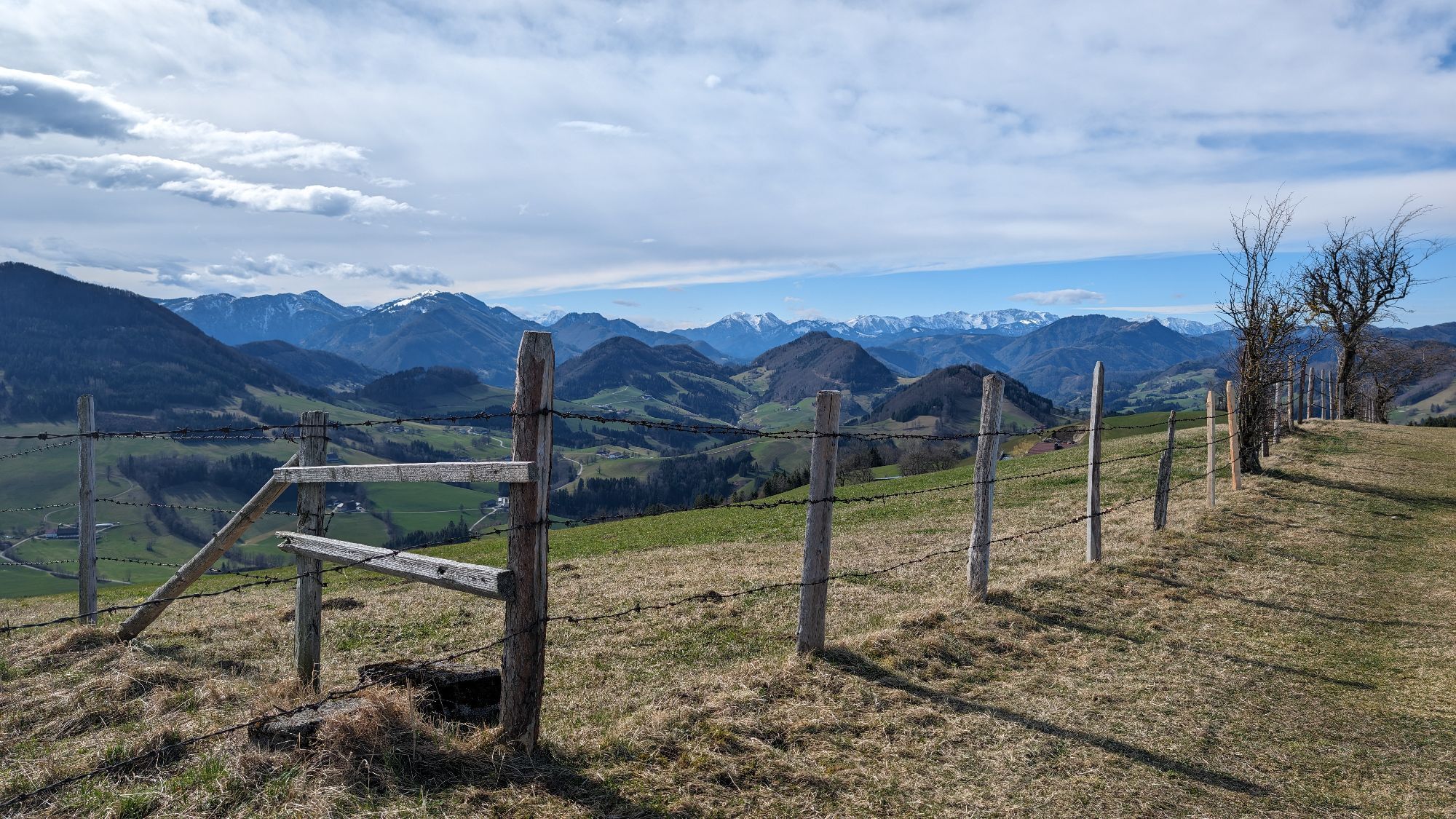
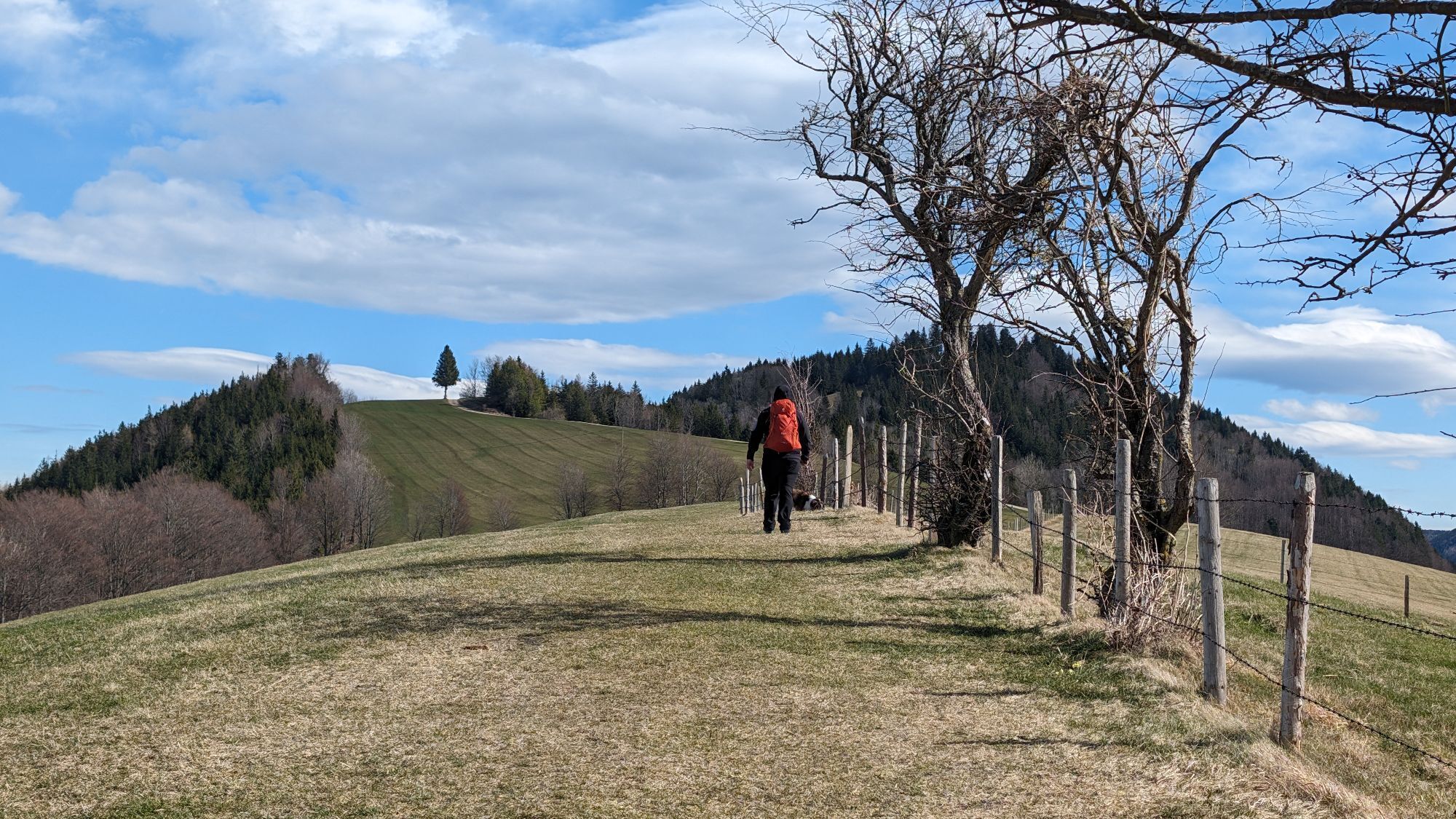
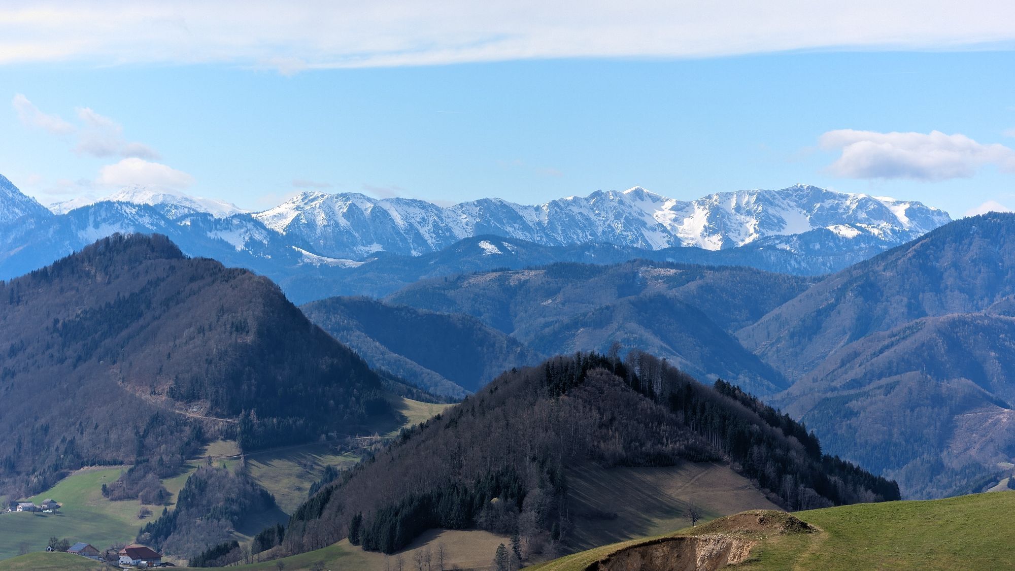
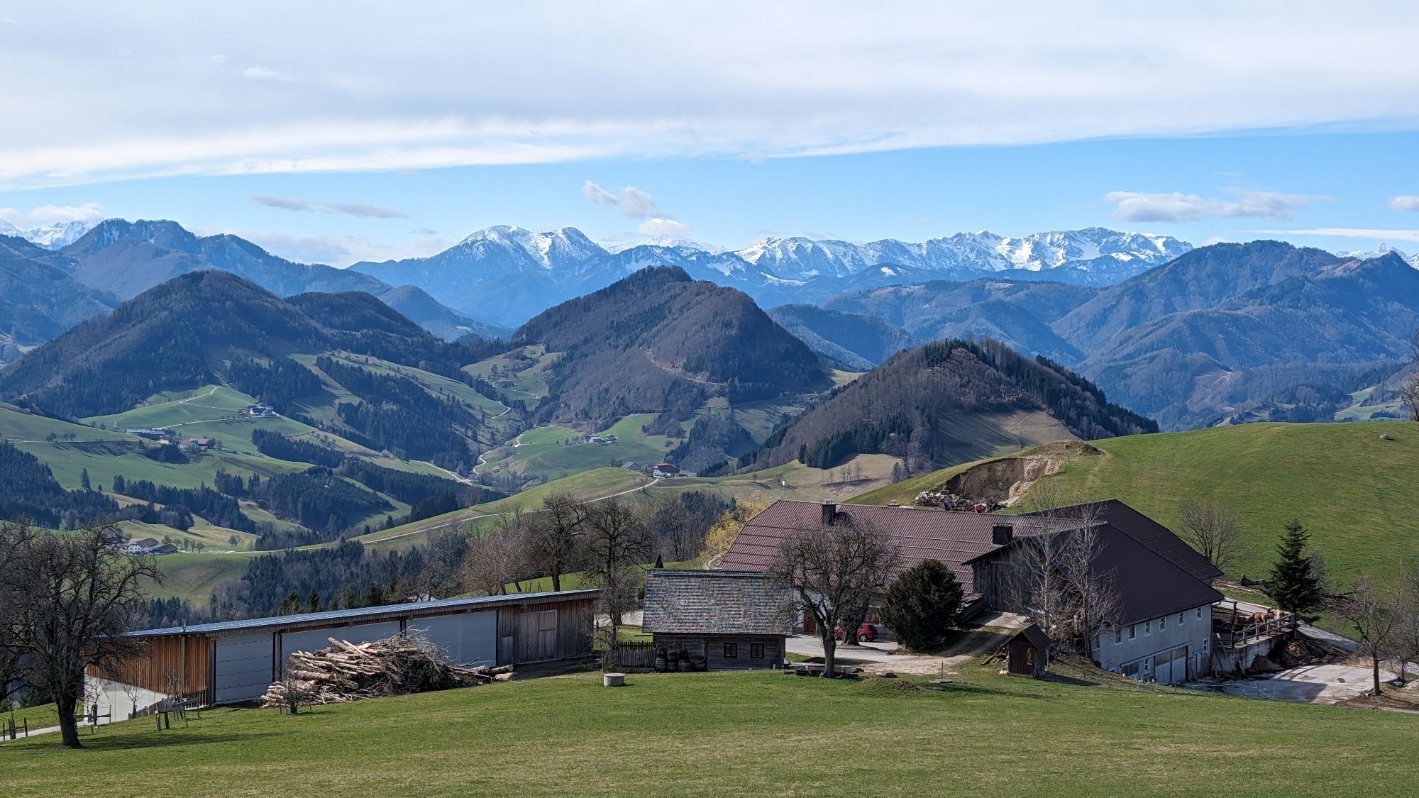
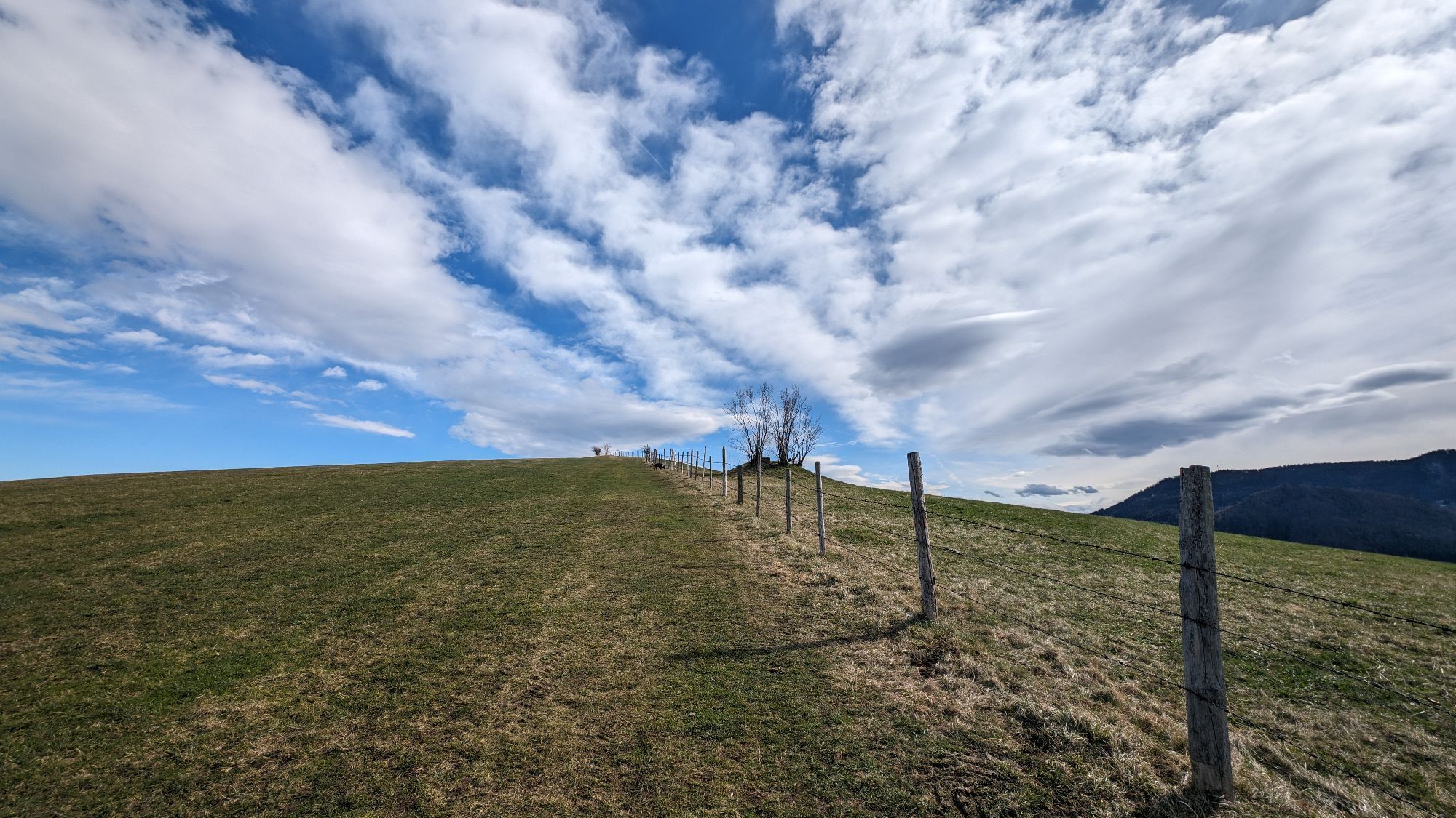
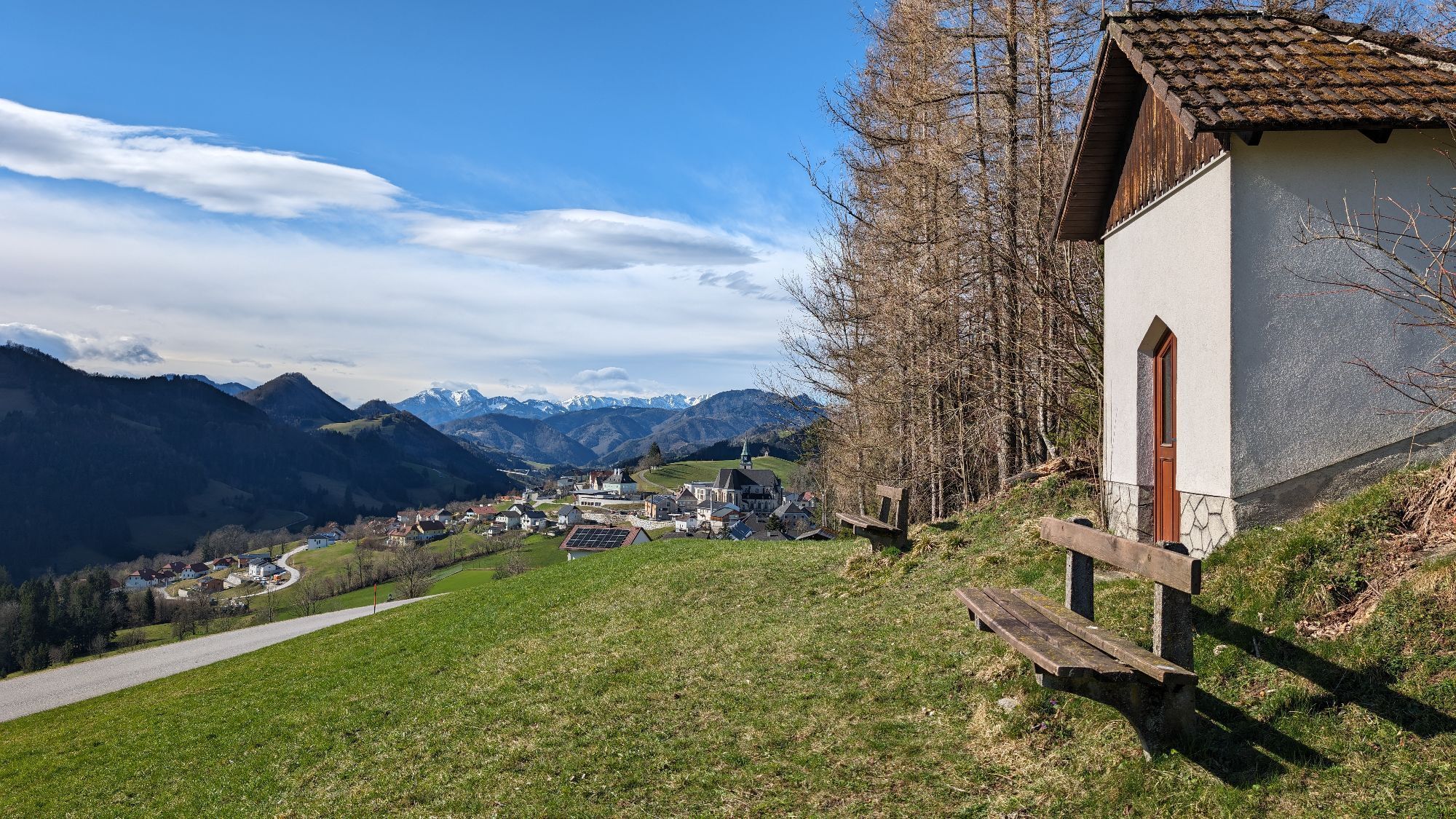
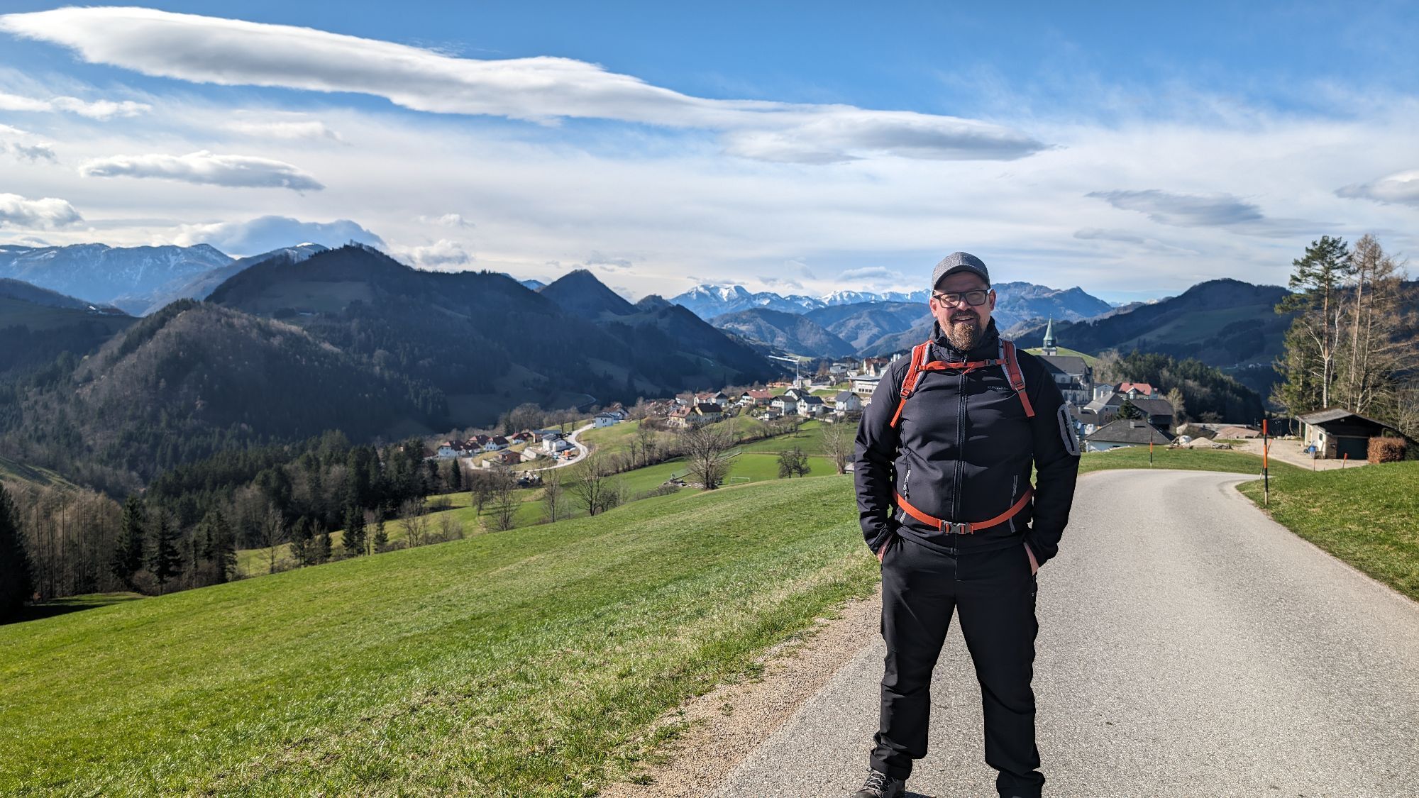
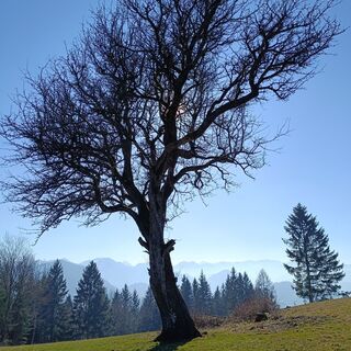
We start the route at the bus stop near the church in the town center of Maria Neustift. Right opposite, we follow the Freithof main street, first on asphalt, then a short detour through a small forest until we reach a hiking parking lot. Here we head left uphill along field paths until we come to a gravel road. Great panoramic views of the Alpine foothills and the Mostviertel open up on the way. We quickly gain altitude and reach the Freithofberg Alm, which is run in the summer months. Shortly behind the alm, we find the summit cross of the Freithofberg at 958 m above sea level.
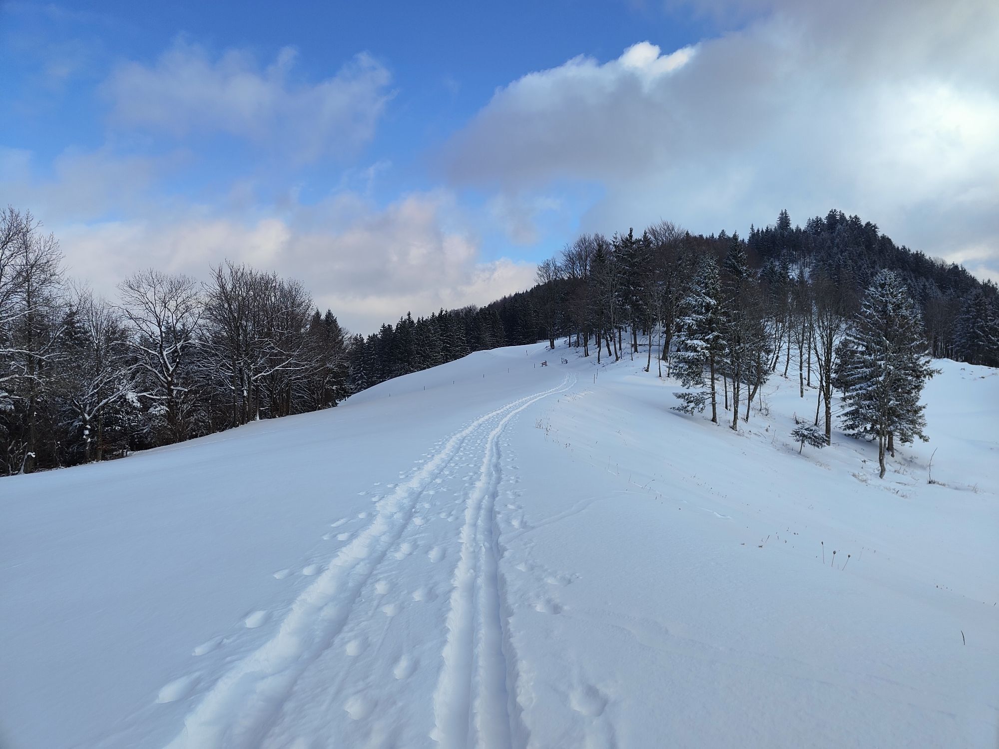
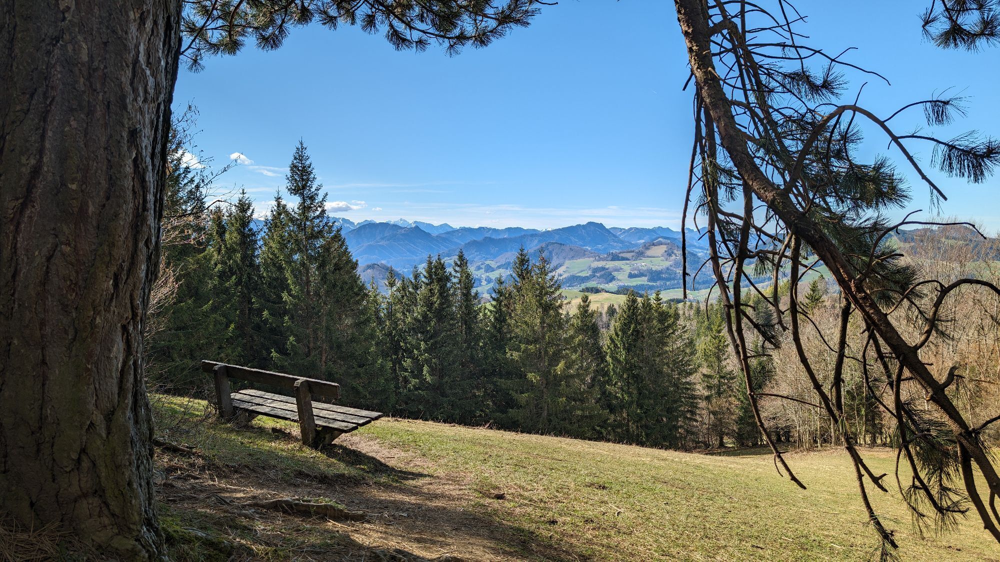
We run back to the alm and keep right, running down Fortstraße. Back the same way, we can choose between the panorama path, which we came from, or the asphalted street, which we choose to return to our starting point.
Ano
The required equipment always depends on the specific route and weather conditions. Regarding food: this is very individual, and it is advisable to bring more than less for both equipment and food. A 5 km round in the valley requires less than a demanding route in the mountains. The weather can change quickly, and if you are not constantly moving or need to take a break, warming clothing is very important, for example.
We have a general checklist here for you:
Weather-appropriate running clothes for the respective season – weather forecast – region – altitude. These include, among others:* a waterproof rain jacket
* waterproof rain pants suitable for running
* gloves and warm headwear (cap/headband/neck gaiter)
* sunglasses + sunscreen + headwear for very warm days Trail running shoes Water bottles, soft flasks, or a hydration bladder with enough liquid for the respective route (possibly also salt tablets/magnesium) Snacks for an energy boost in between: energy bars, gels, chocolate, trail mix, Running backpack: ideally a trail running vest / trail running backpack or a waist belt for small routes. Dry pack: to keep your valuables or change of clothes dry (optionally a small trash bag) Emergency blanket Small first aid kit. An Israeli bandage is highly recommended in my opinion: this is a one-handed wound and pressure bandage. Details can be found here. Emergency whistle (often integrated into the trail backpack) Mobile phone Maps (online and/or offline) E-Card or insurance card Some cash Microspikes/spikes: these can be very advantageous in winter and icy conditions. Folding poles for trail running Headlamp
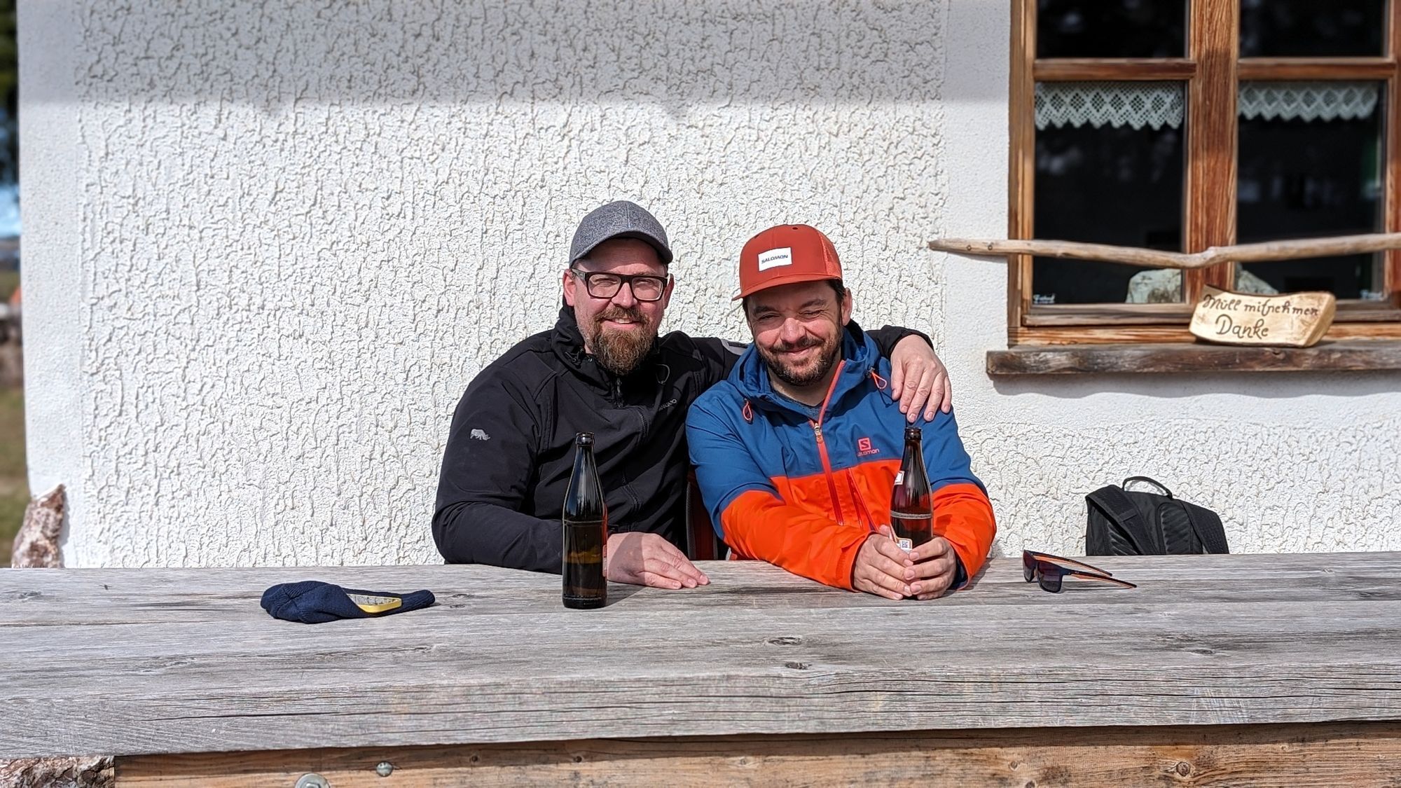
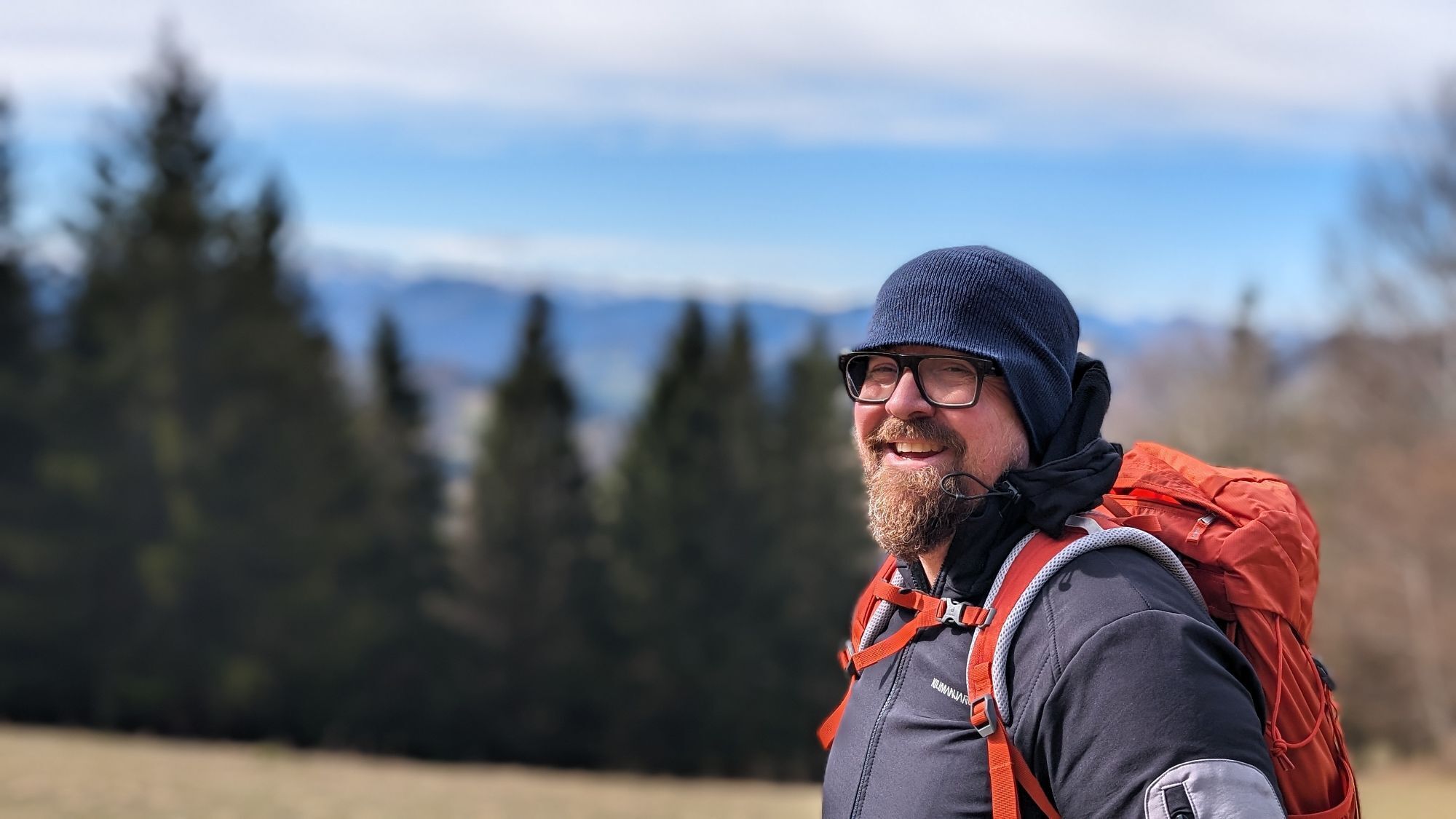
This trail was run for us by André Prinz
If possible, be sure to stop at the Gasthaus Schaupp (directly next to the church in the town center).
Aktivity na trase
-

Maria Neustift, Oberösterreich/Österreich
28.06.2026 – Turistika -

Maria Neustift, Oberösterreich/Österreich
18.04.2026 – Turistika -

Freithofalm, Maria Neustift
05.03.2026 – Turistika -

Maria Neustift, Oberösterreich/Österreich
14.01.2026 – Turistika -


Freithofberg, Maria Neustift, Oberösterreich/Österreich
11.01.2026 – Turistika
Oblíbené prohlídky v okolí
-
4.9
Ennser Hut - Almkogel (from Bamacher car park)
středníTuristika 3.53 km -
4.8
Steinerner Jäger (1185m) und Schieferstein (1206m) ab Parkplatz Hochhabichler
středníTuristika 4.46 km -
4.7
GROSSRAMING Bamacher, Burgspitz, Almkogel, Ennshütte 20240730
středníTuristika 10 km -
4.3
Freithofberg
středníTuristika 9.15 km -
4.7
Steinerner Jäger (1185m) und Schieferstein (1206m) ab Parkplatz Hack
heavyTuristika 8.58 km -
4.6
Gamsstein (1275m) und Gschwendtalm ab Parkplatz Brunnbach
středníTuristika 7.37 km -
4.4
Kleine Gipfelrunde Glasenberg
světloTuristika 4.99 km -
3.8
Lindaumauer (1103 m)
Turistika 3.40 km -
4.5
Lindaumauer, Maria Neustift
středníTuristika 5.53 km -
4.9
Dambergwarte
světloTuristika 3.28 km
Pěší turistika a stopování


Nenechte si ujít nabídky a inspiraci pro vaši příští dovolenou
Vaše e-mailová adresa byl přidán do poštovního seznamu.