


L5 Garsten - Great Horseshoe
This very special round course of 28.4km and 872m elevation is an absolute highlight in the Steyr region for trail runners with good stamina. It is a proper loop course where only a few hundred meters...
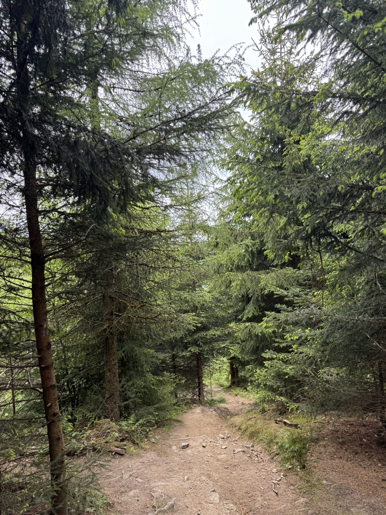
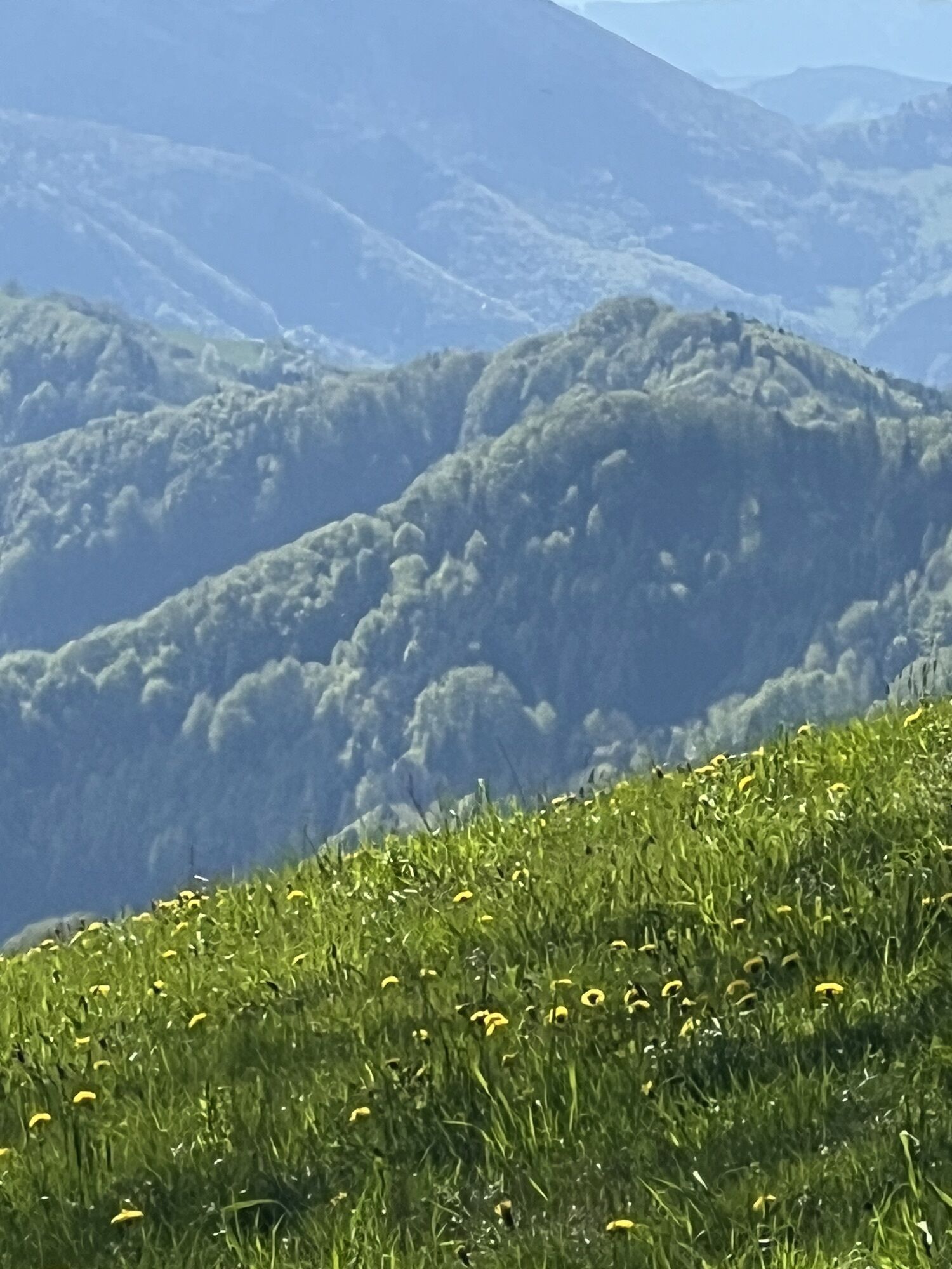
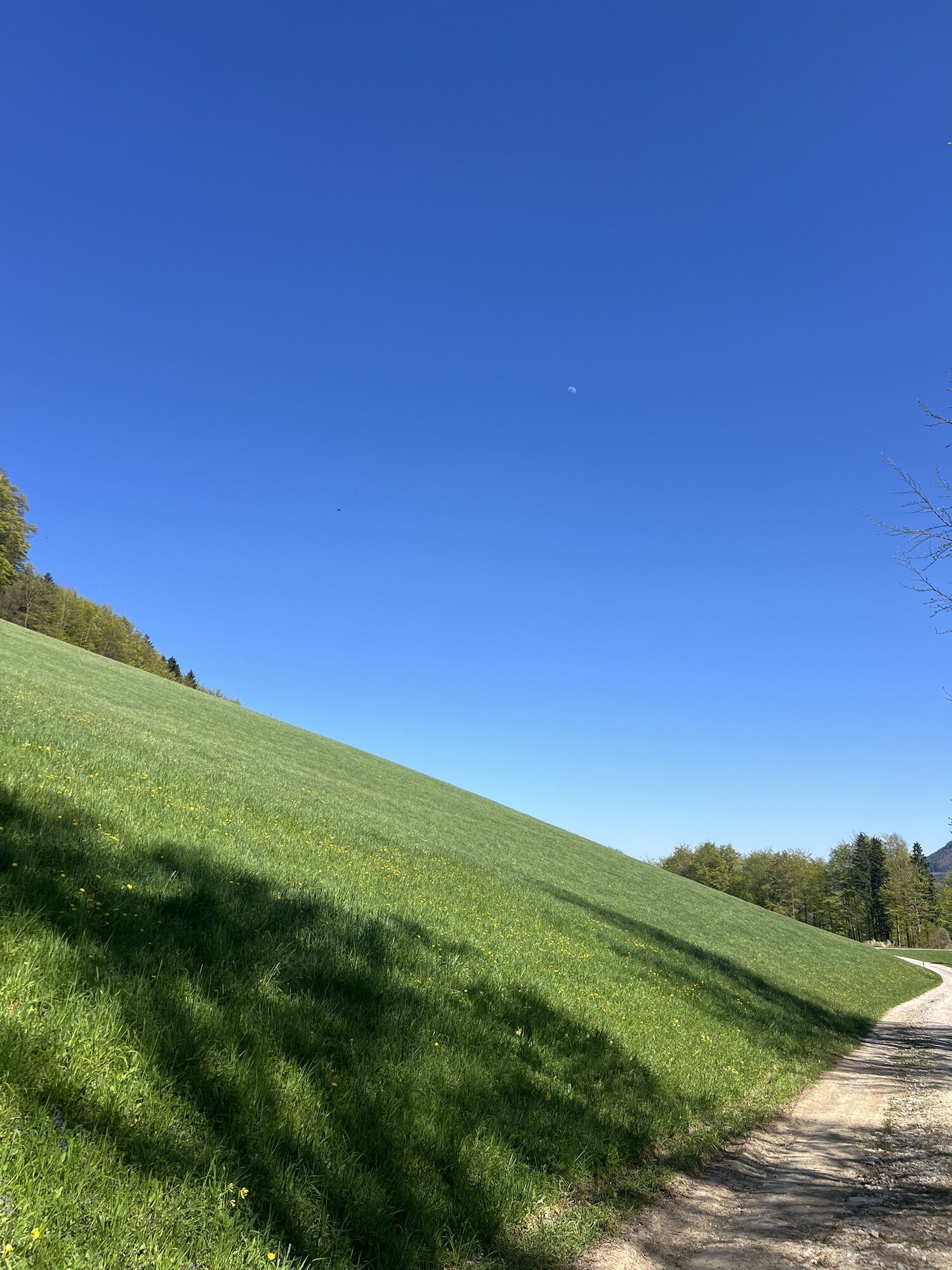
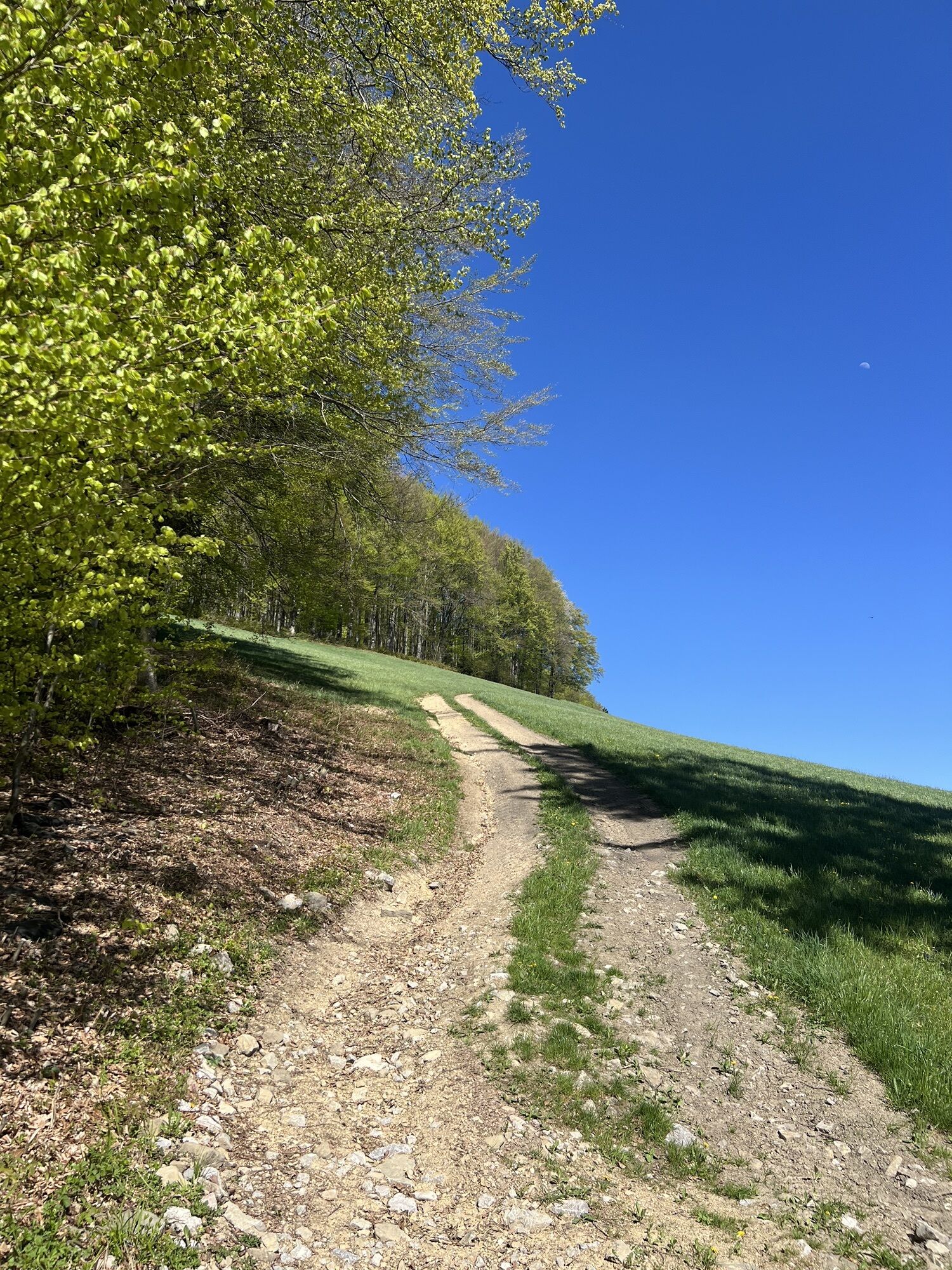
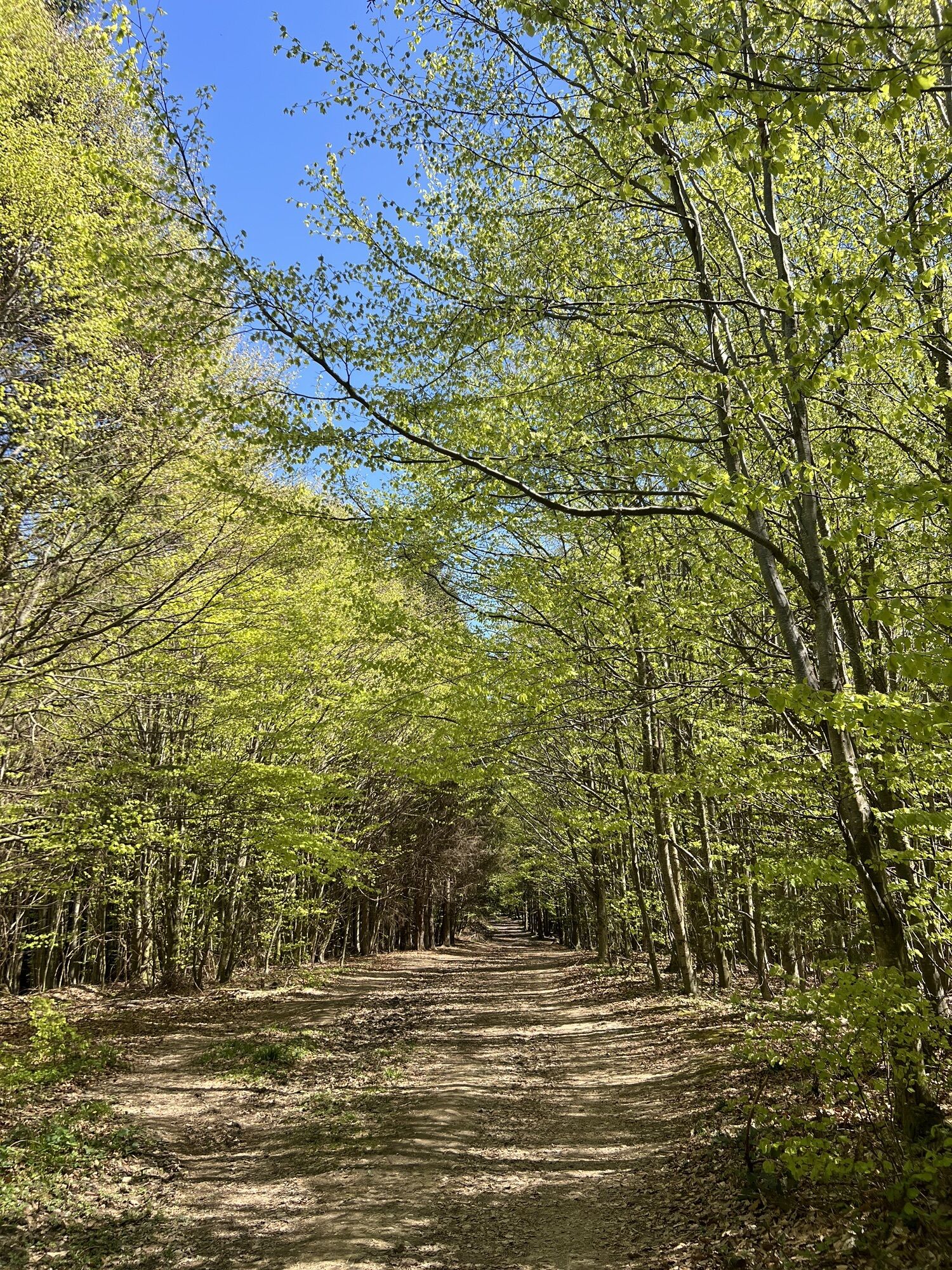
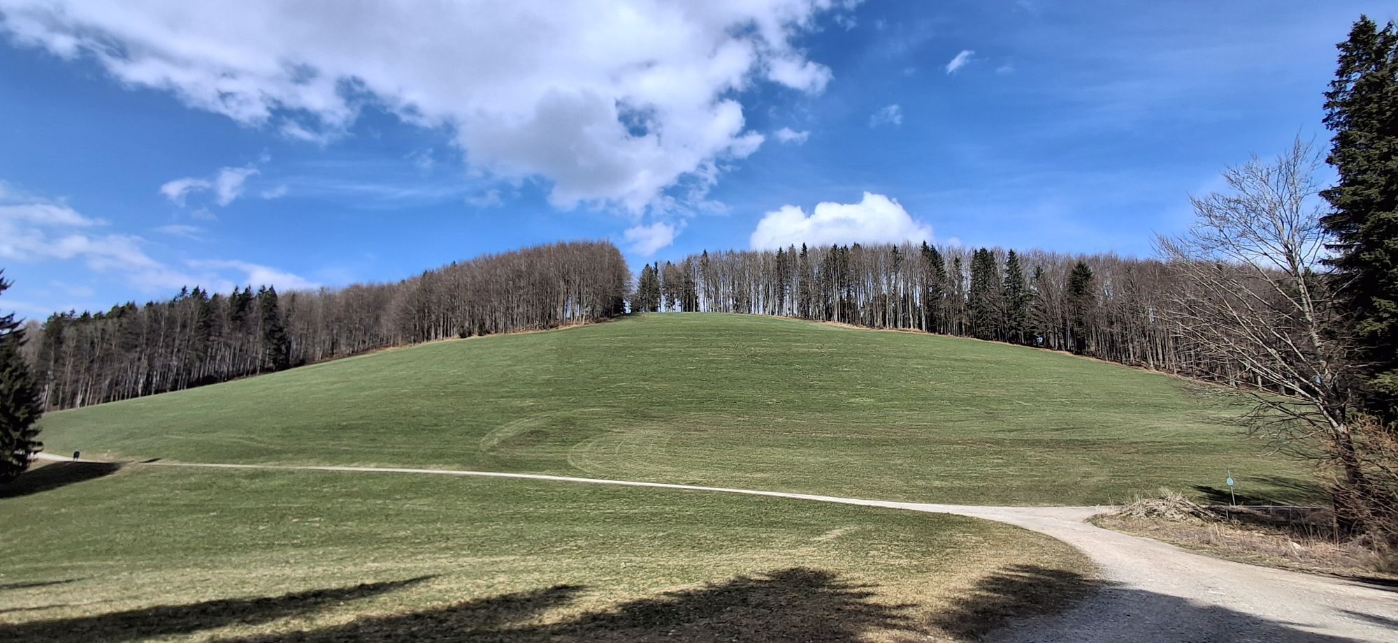
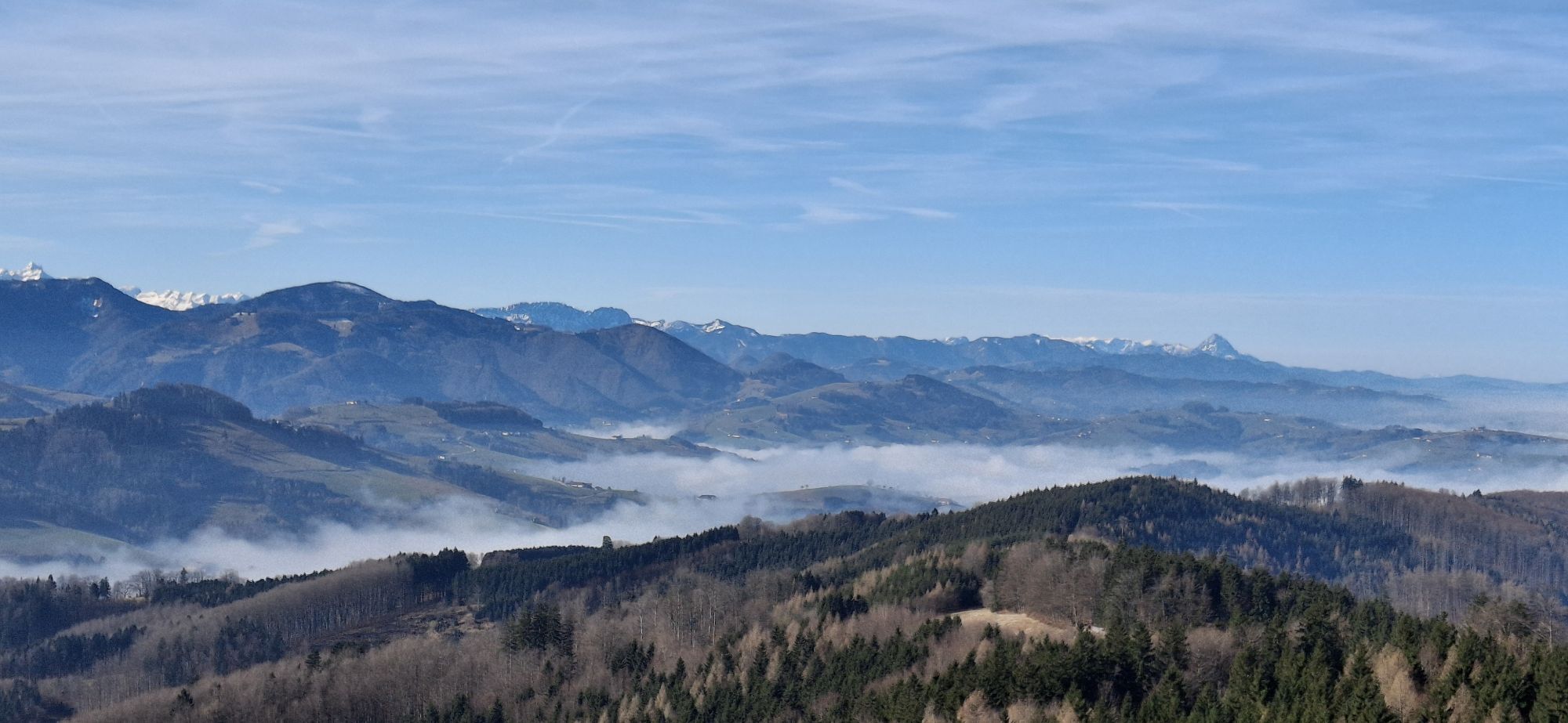
This very special round course of 28.4km and 872m elevation is an absolute highlight in the Steyr region for trail runners with good stamina. It is a proper loop course where only a few hundred meters of the 28.4km are run twice. The terrain on this route is very varied: from asphalt and forest roads, over meadows, and up to flowy and demanding singletrails, everything is included.
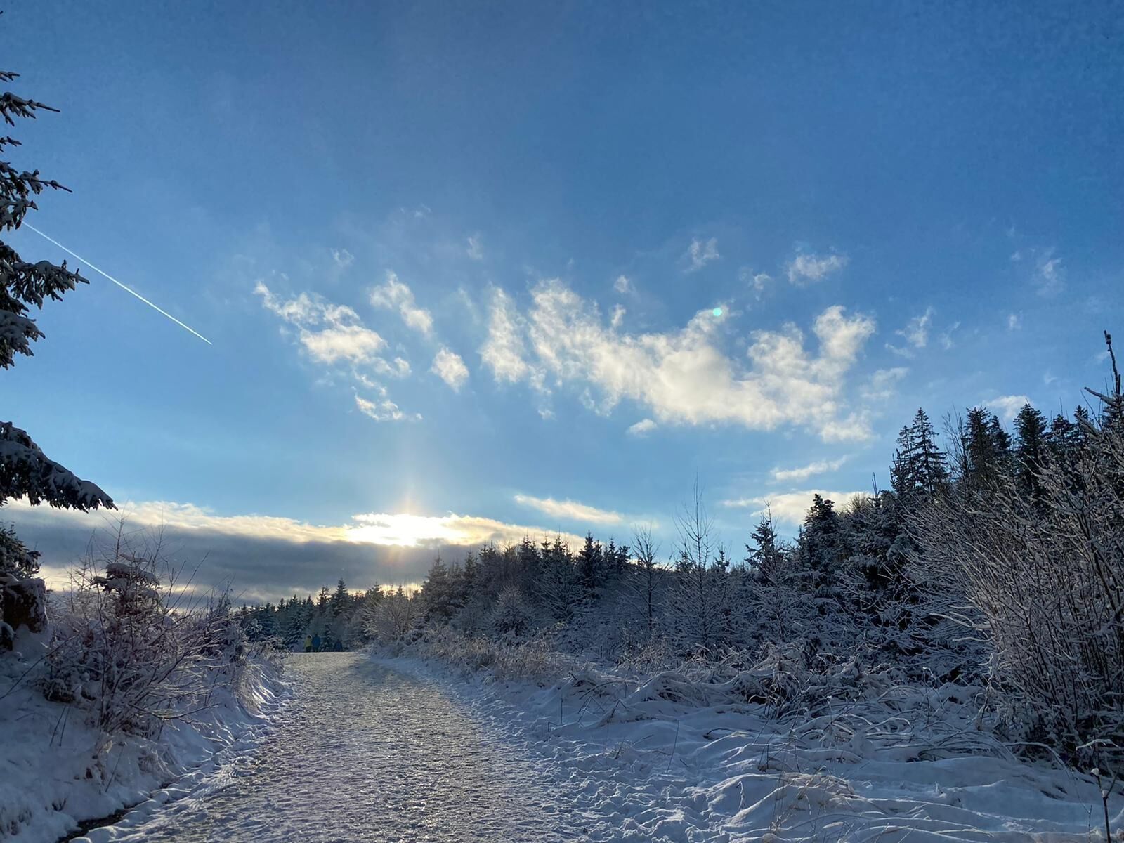
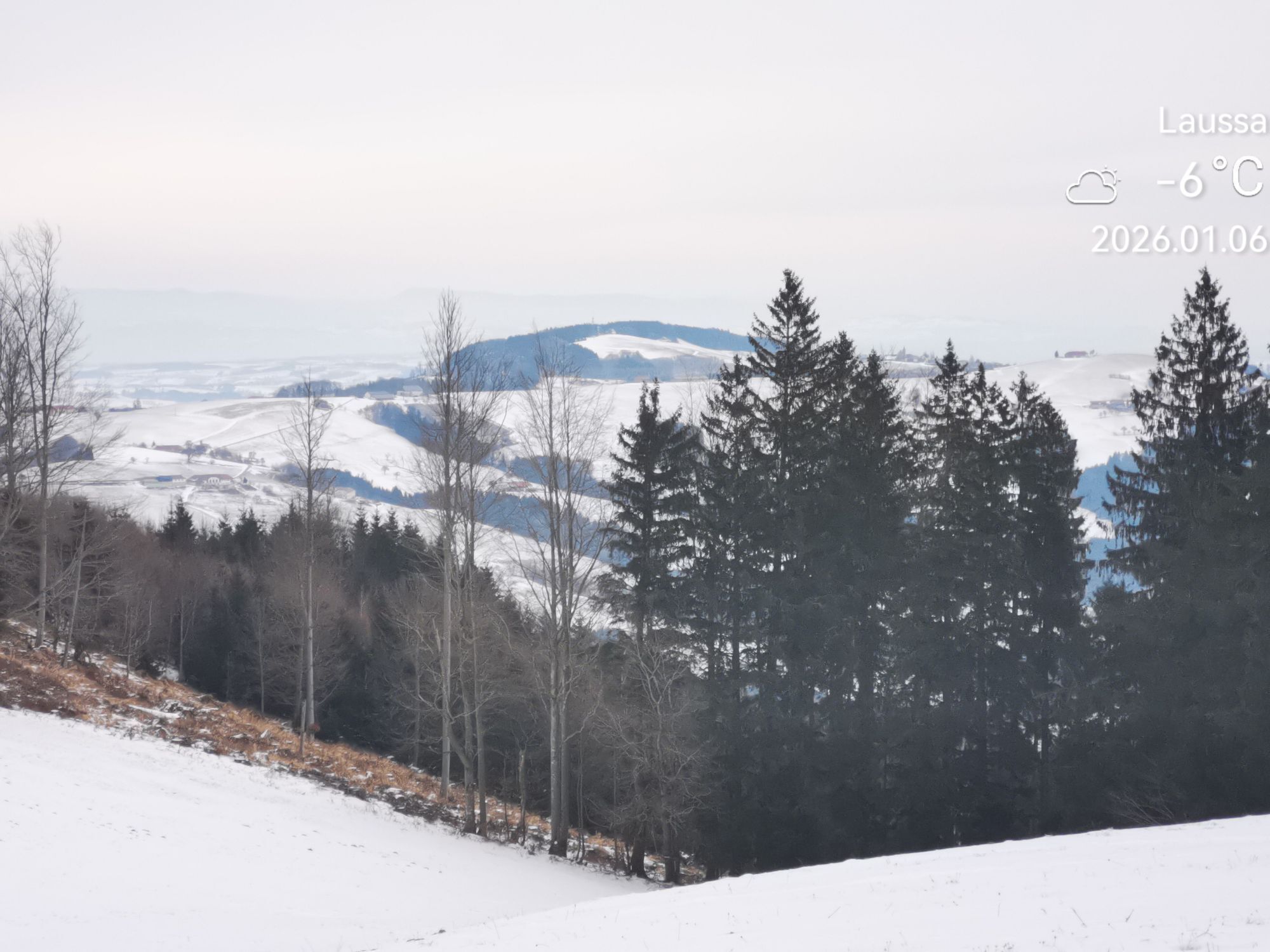
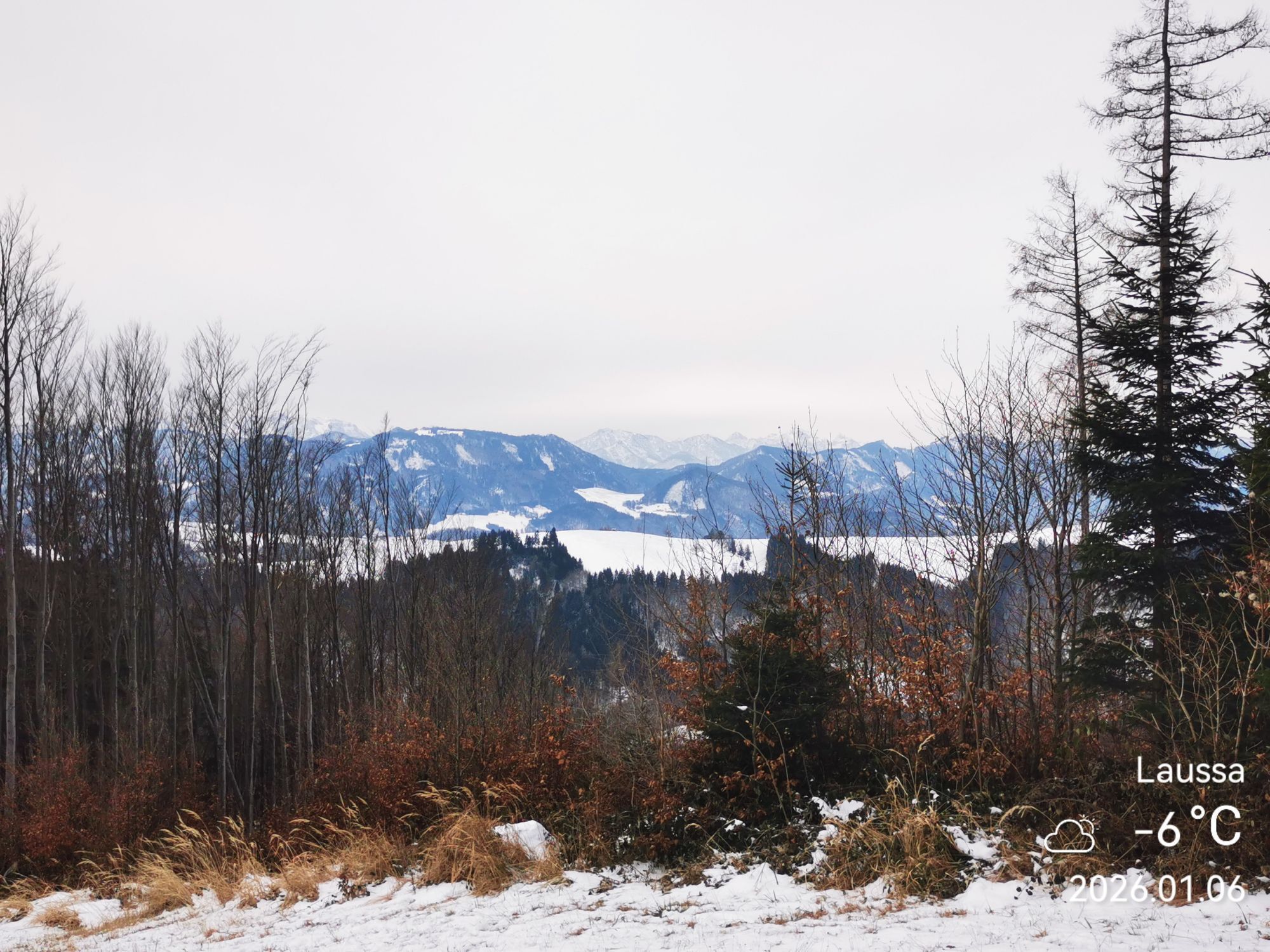
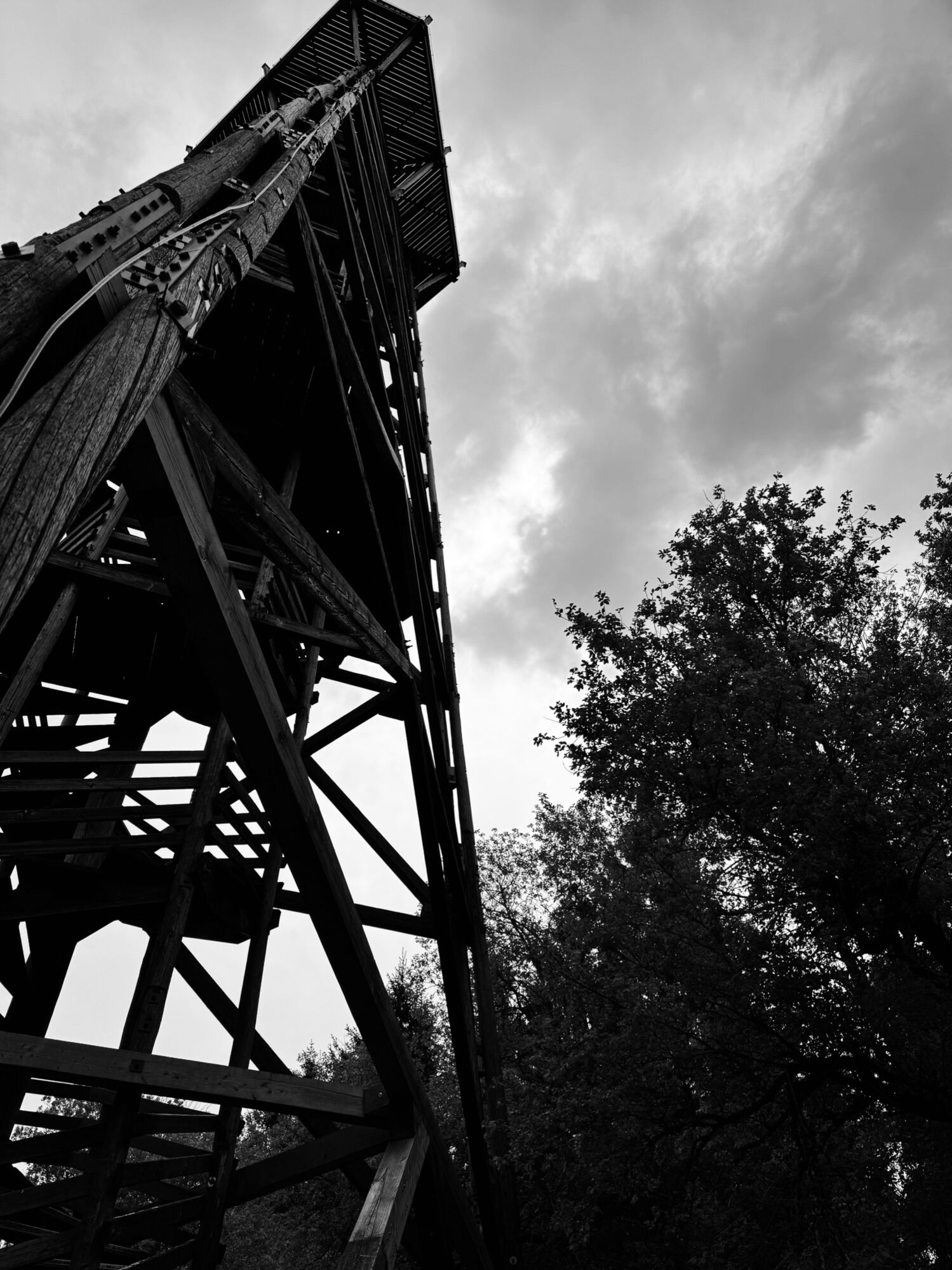
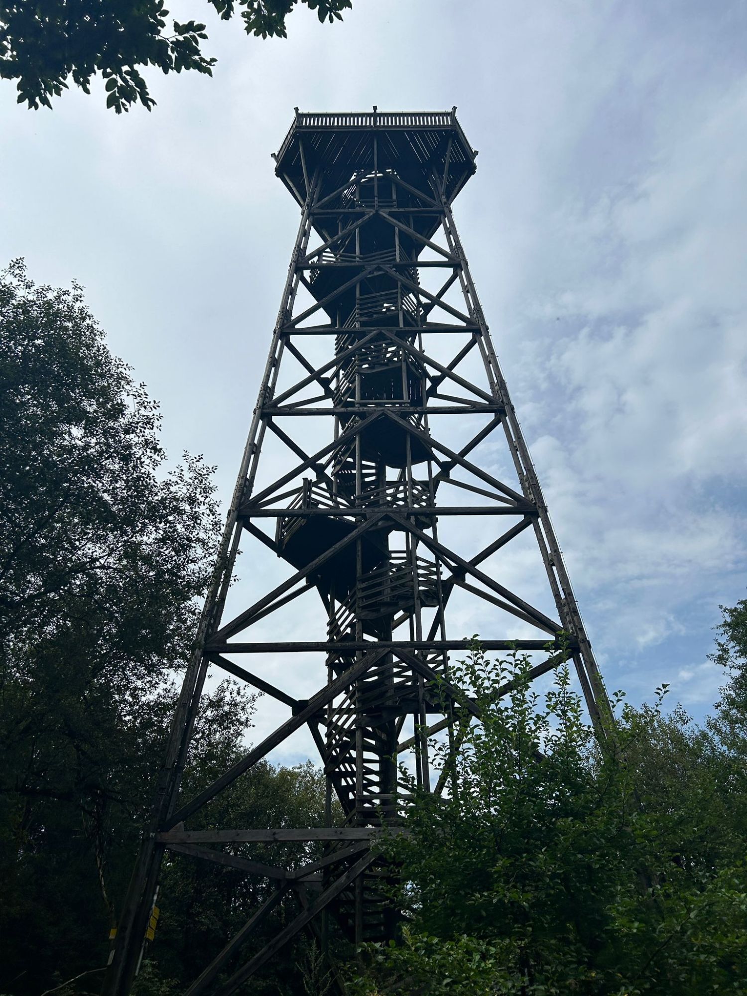
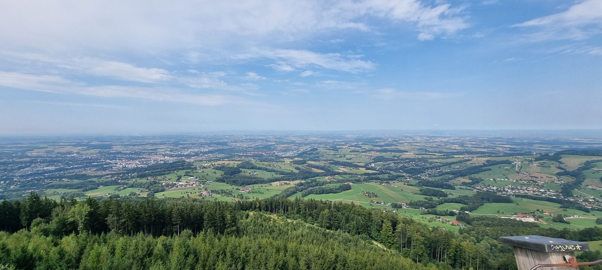
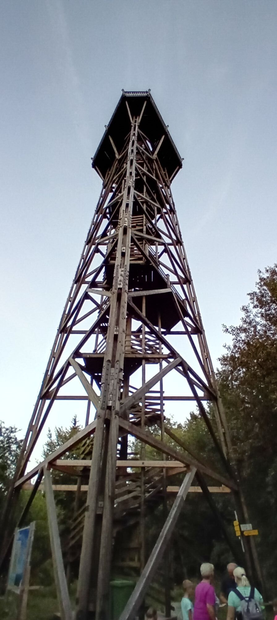
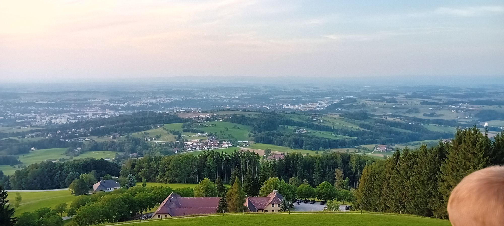
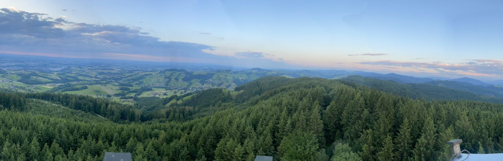
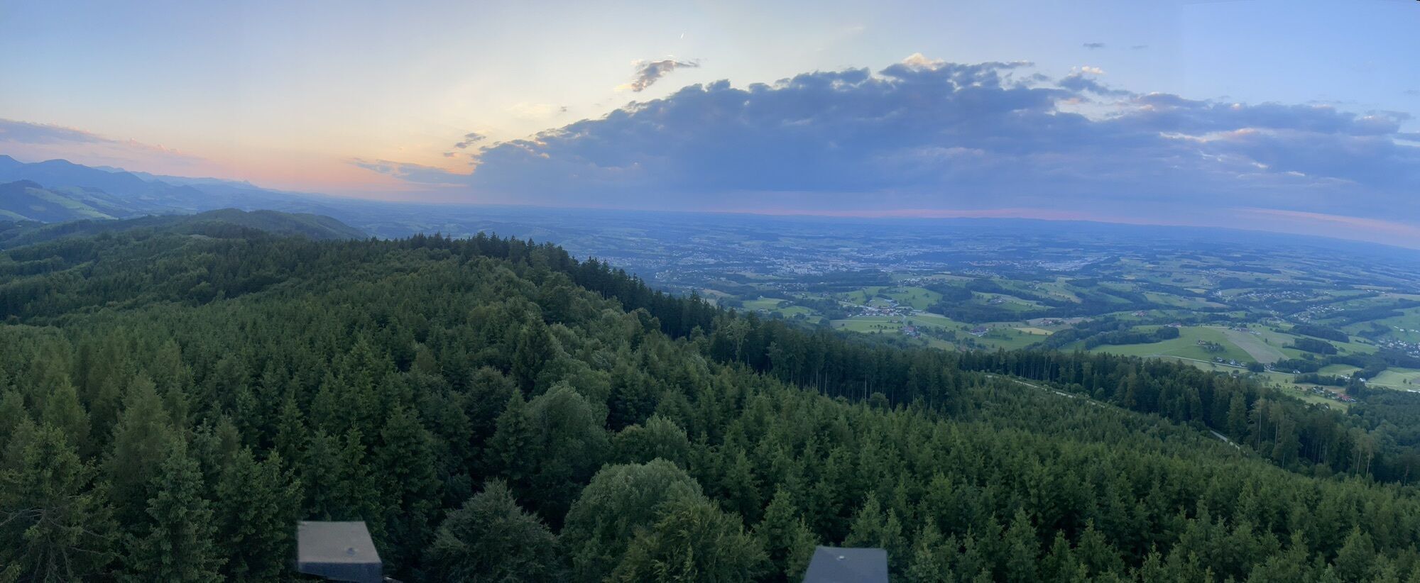
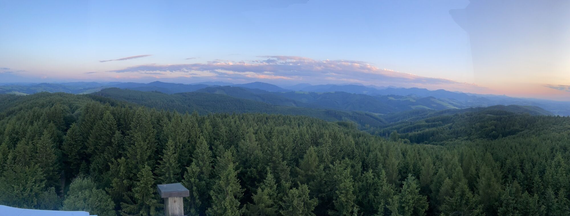
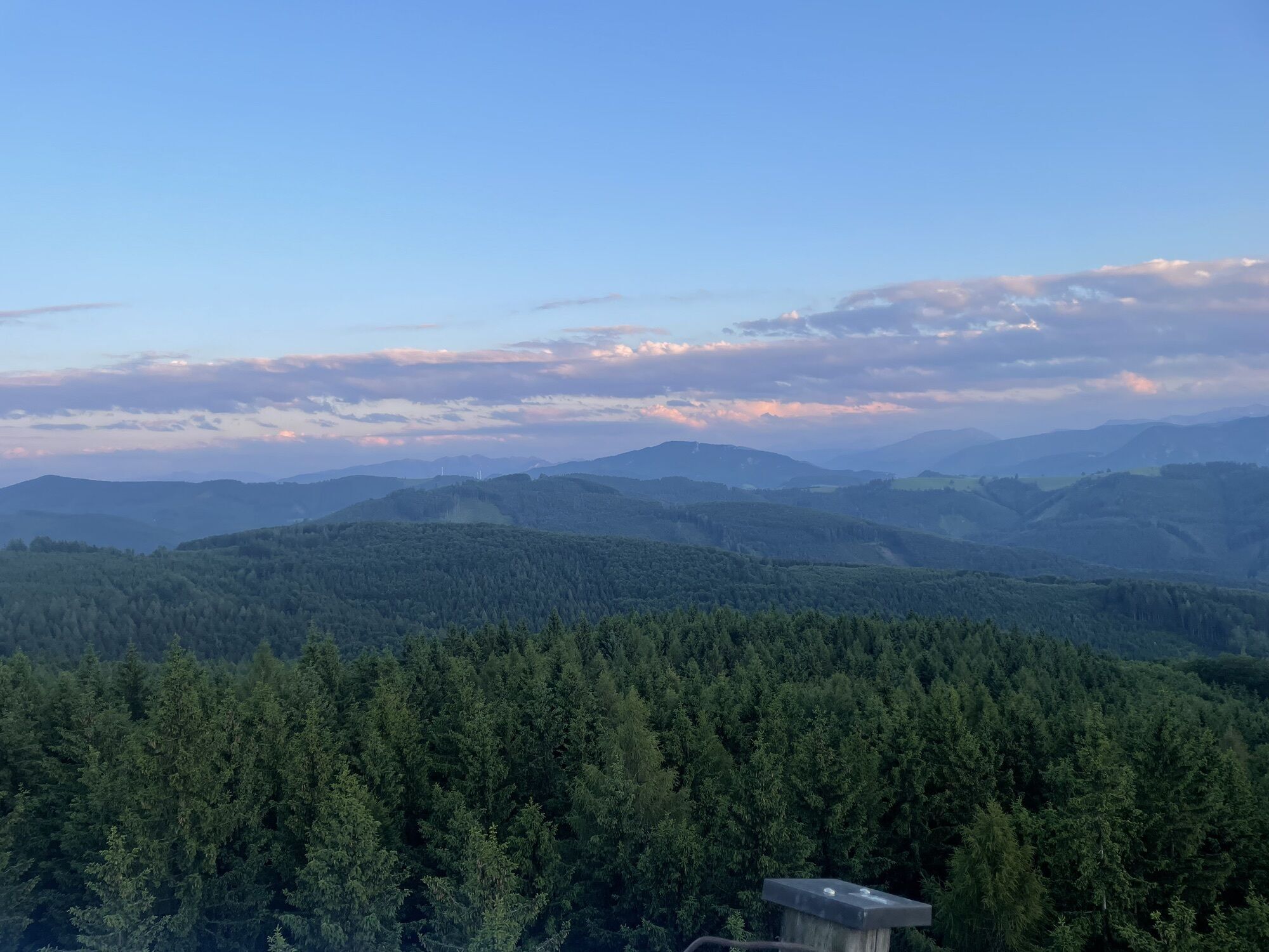
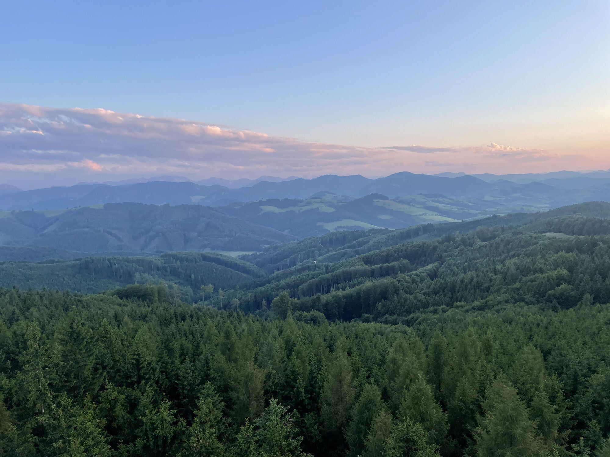
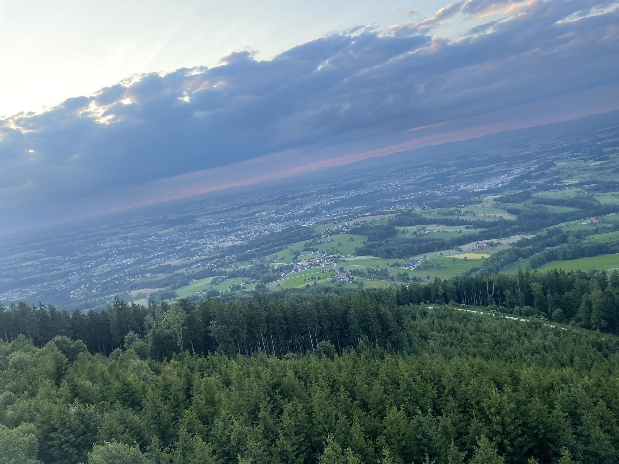
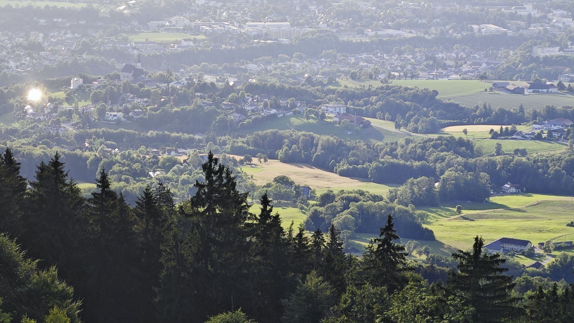
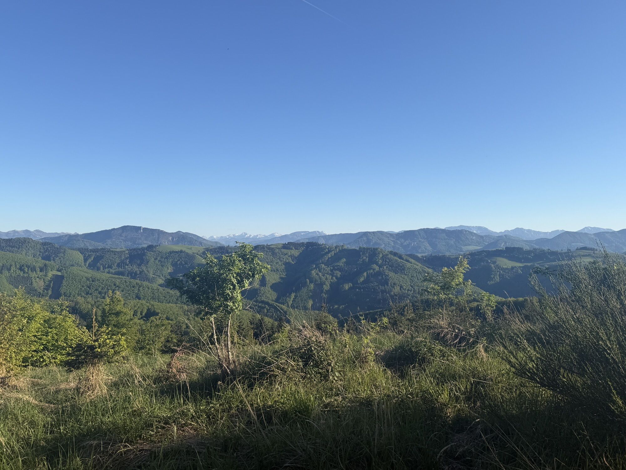
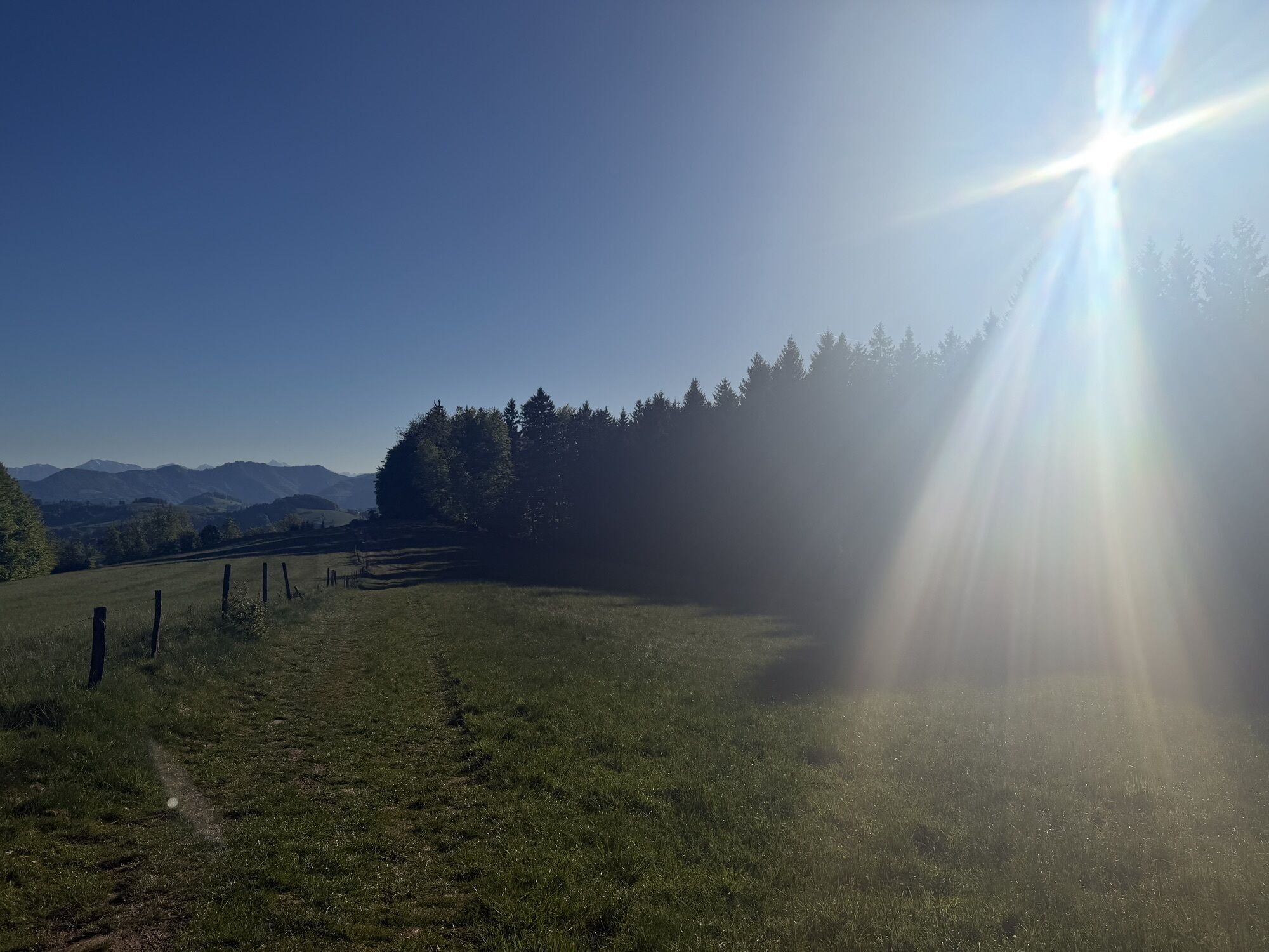
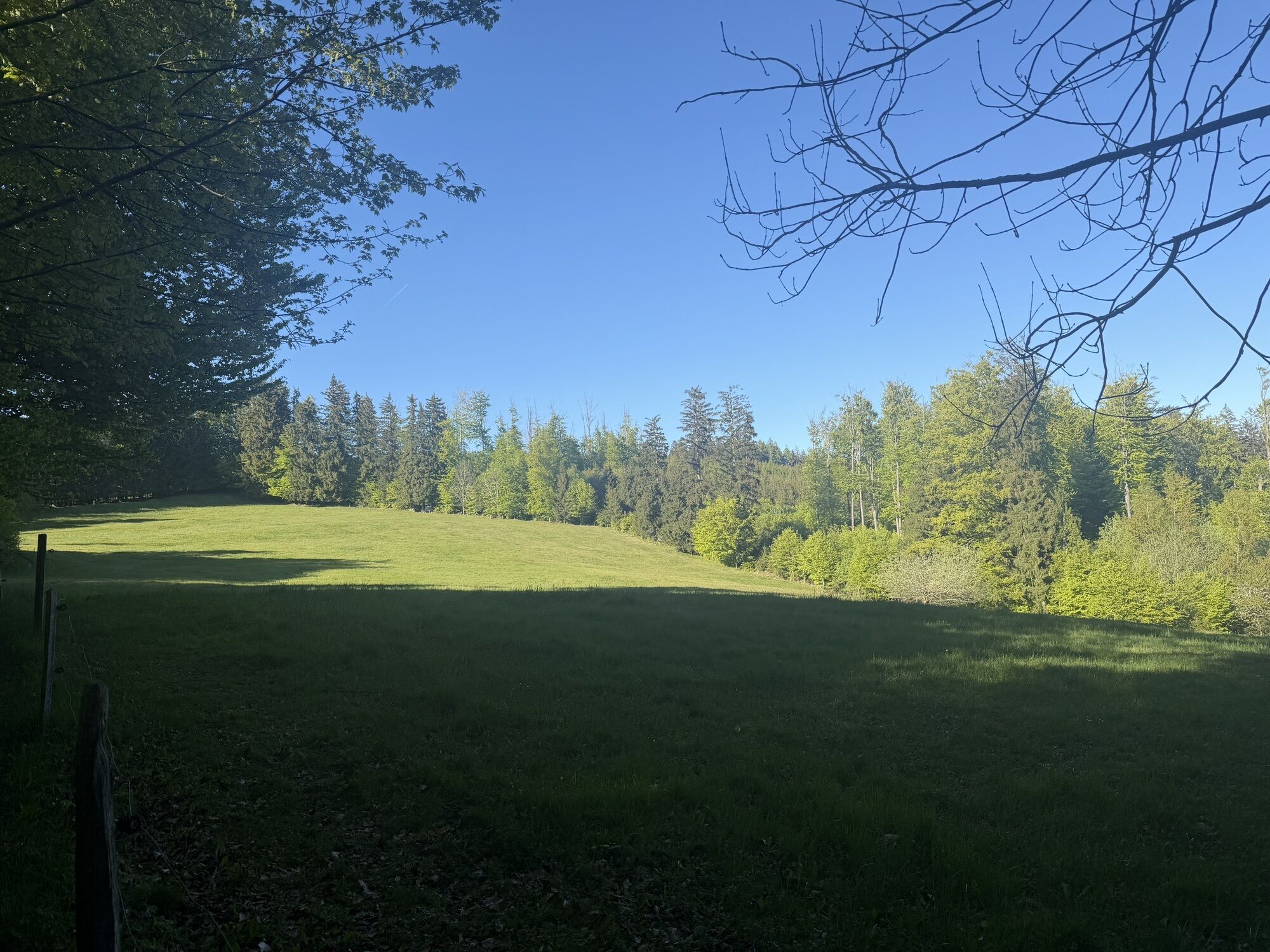
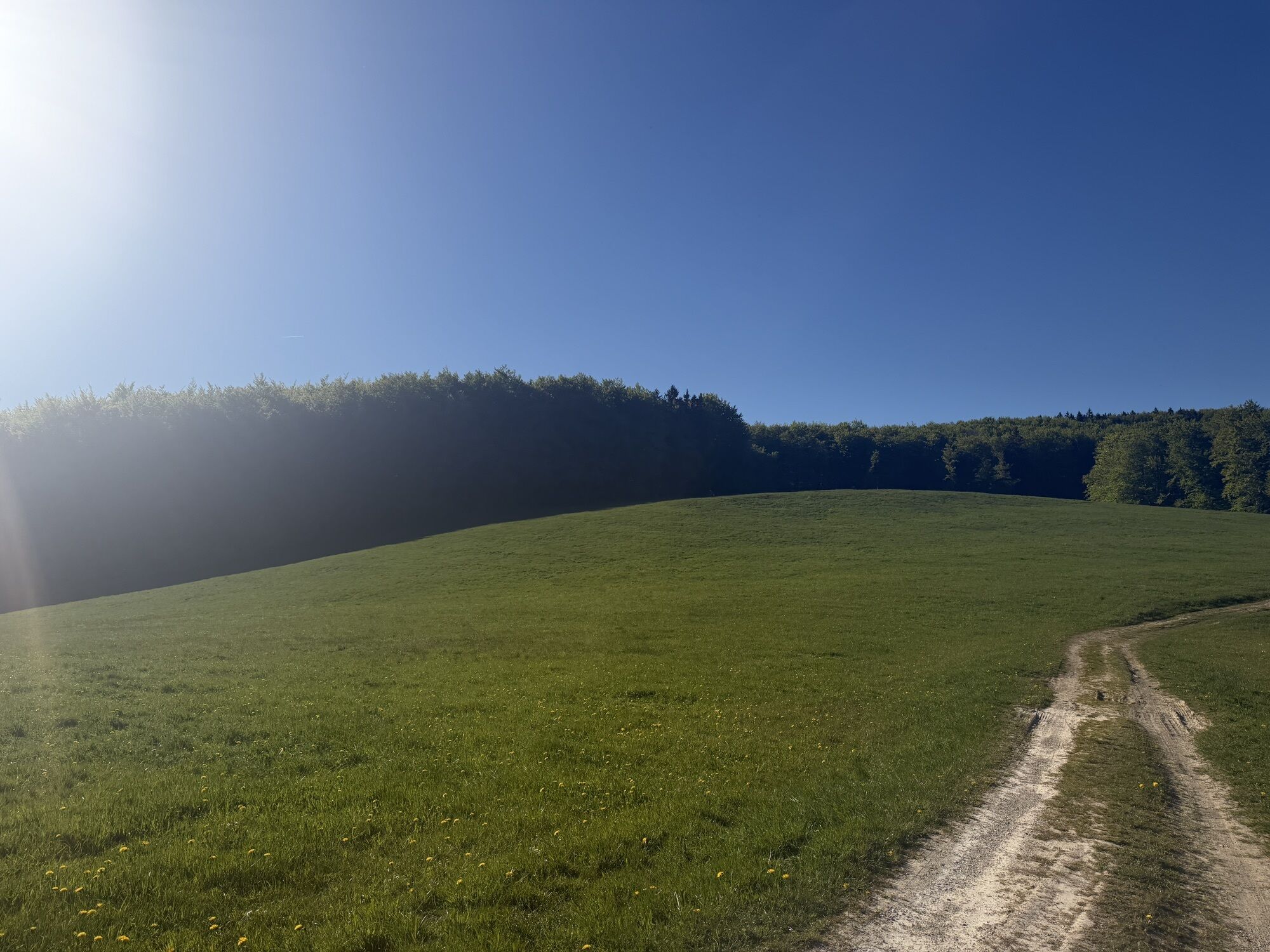
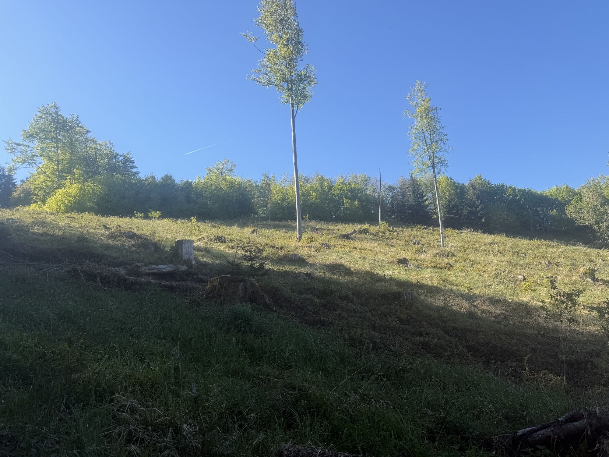
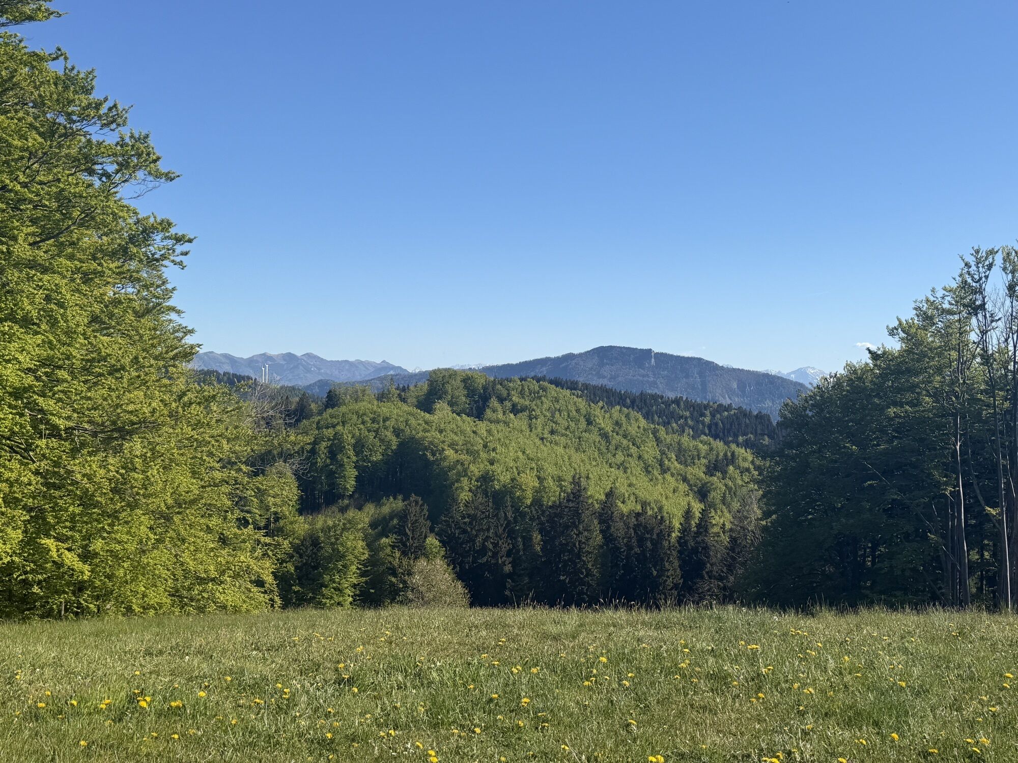
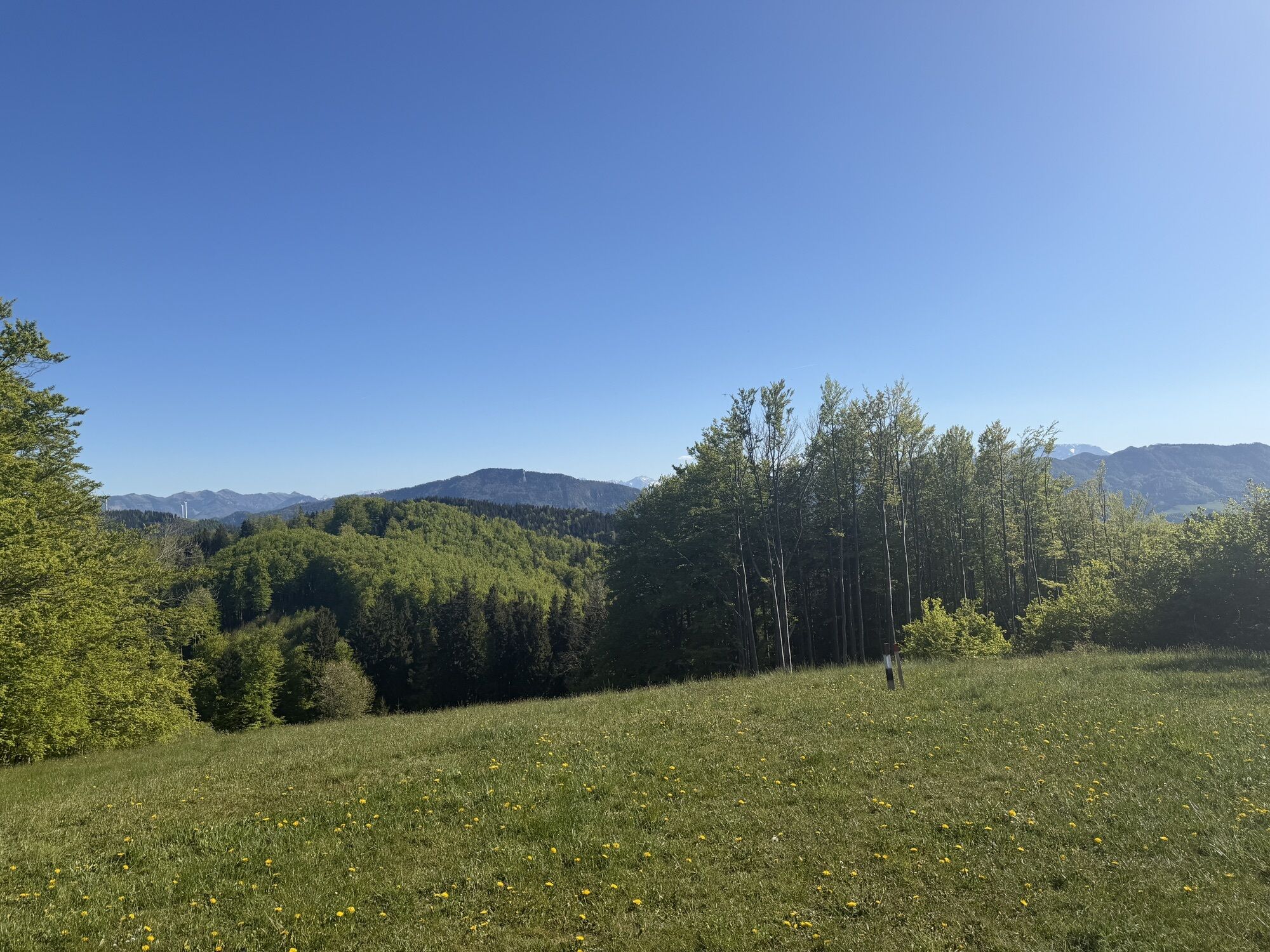
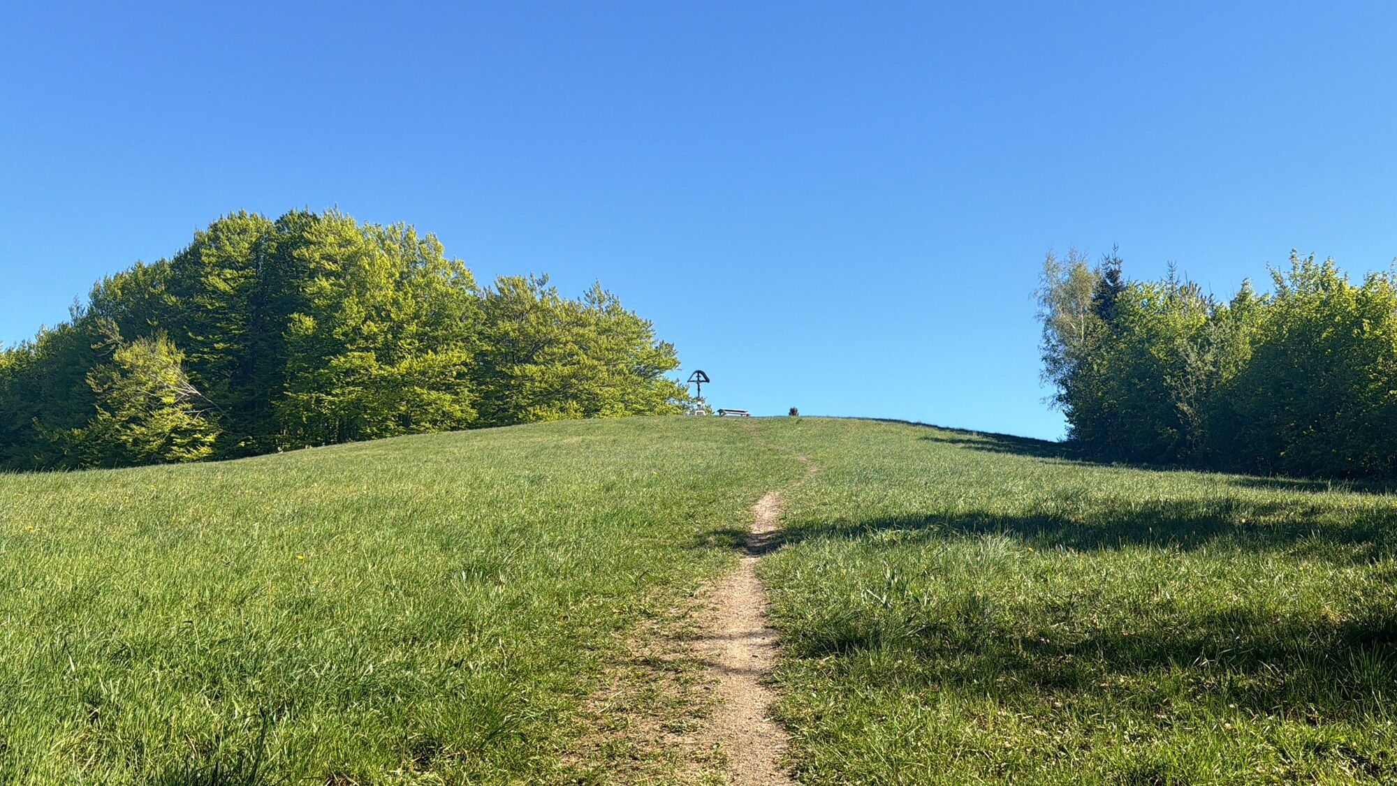
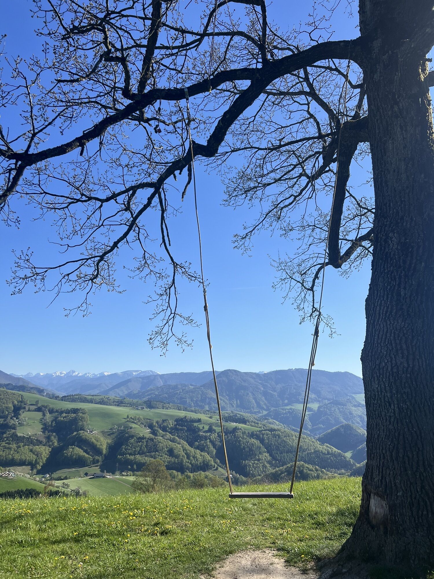
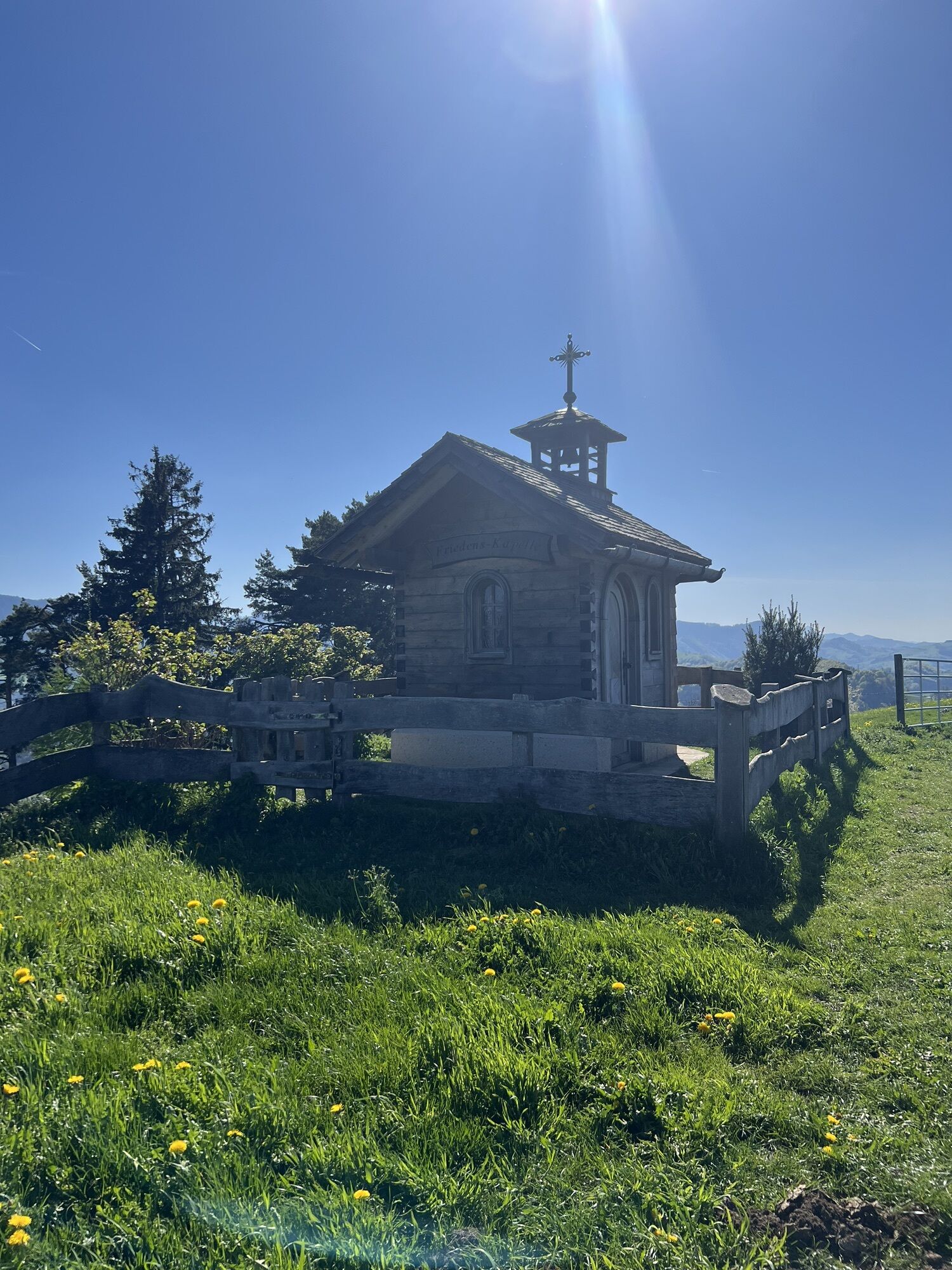
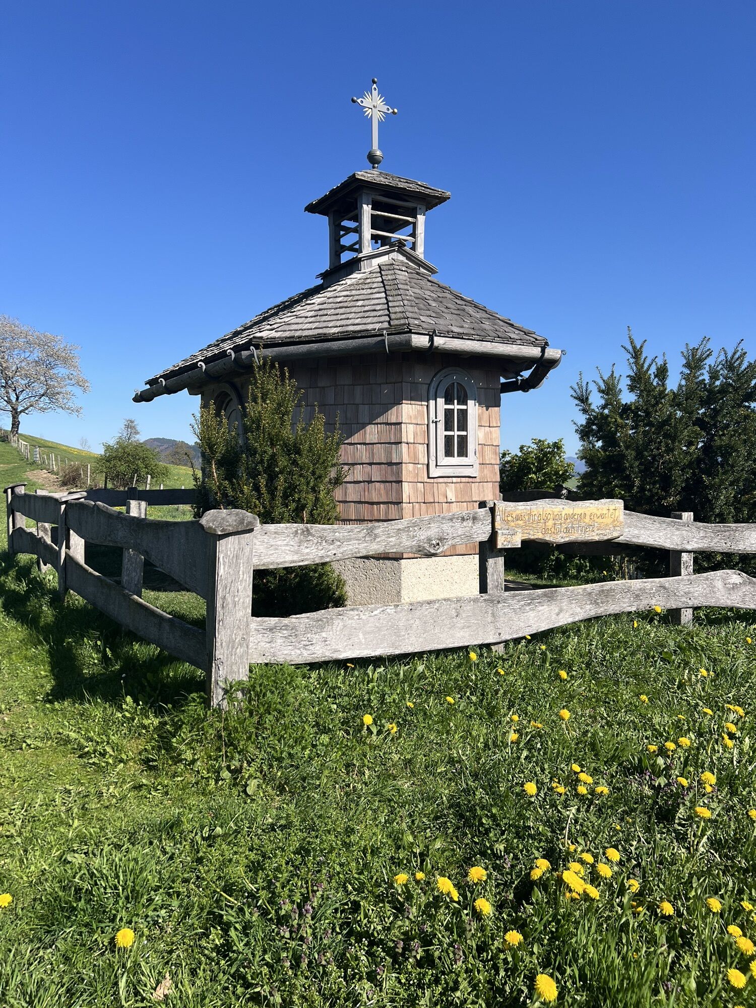
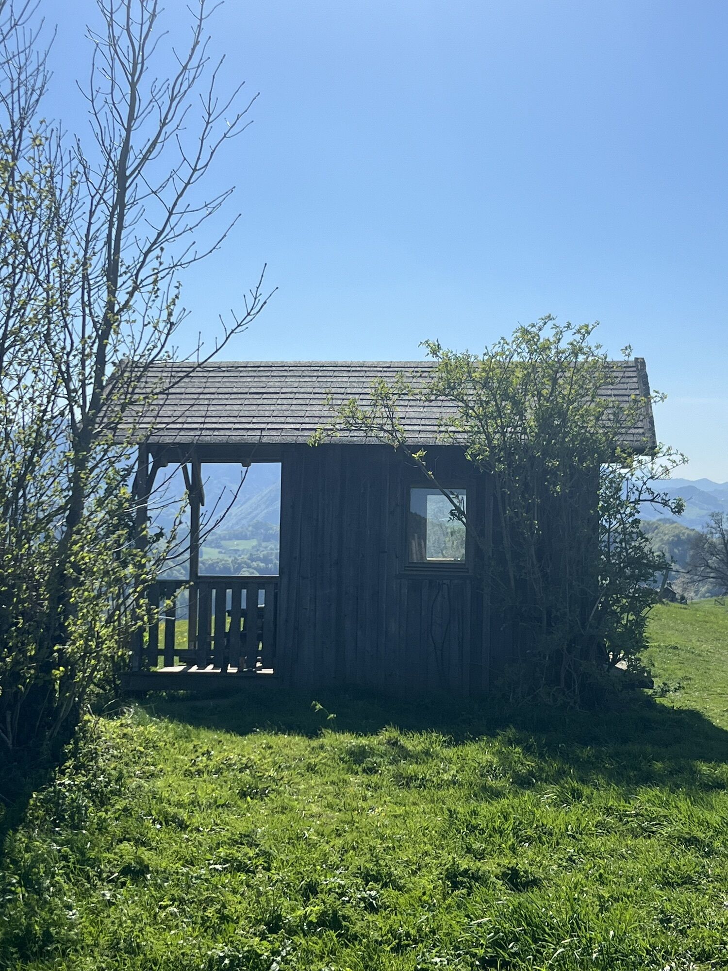
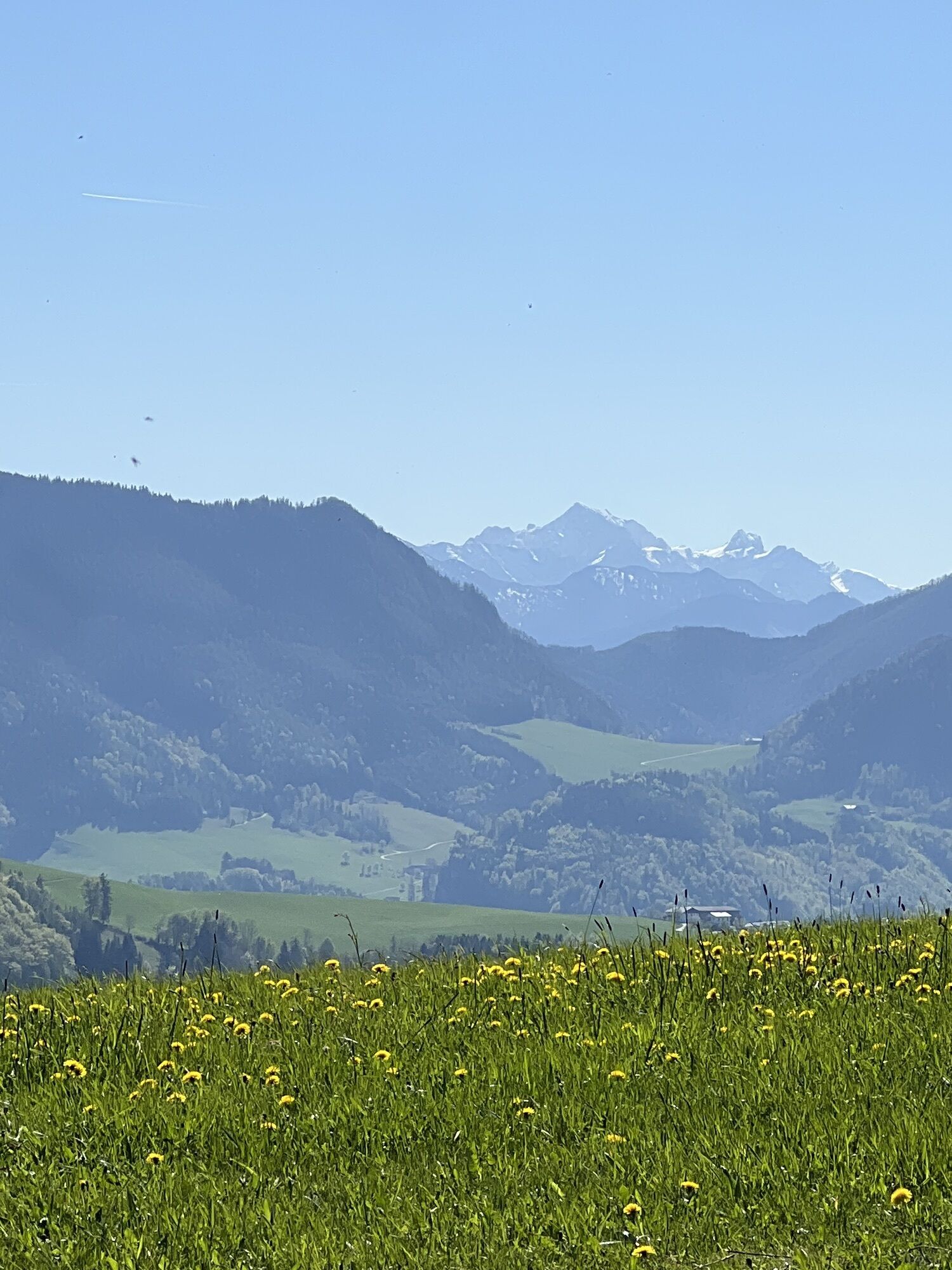
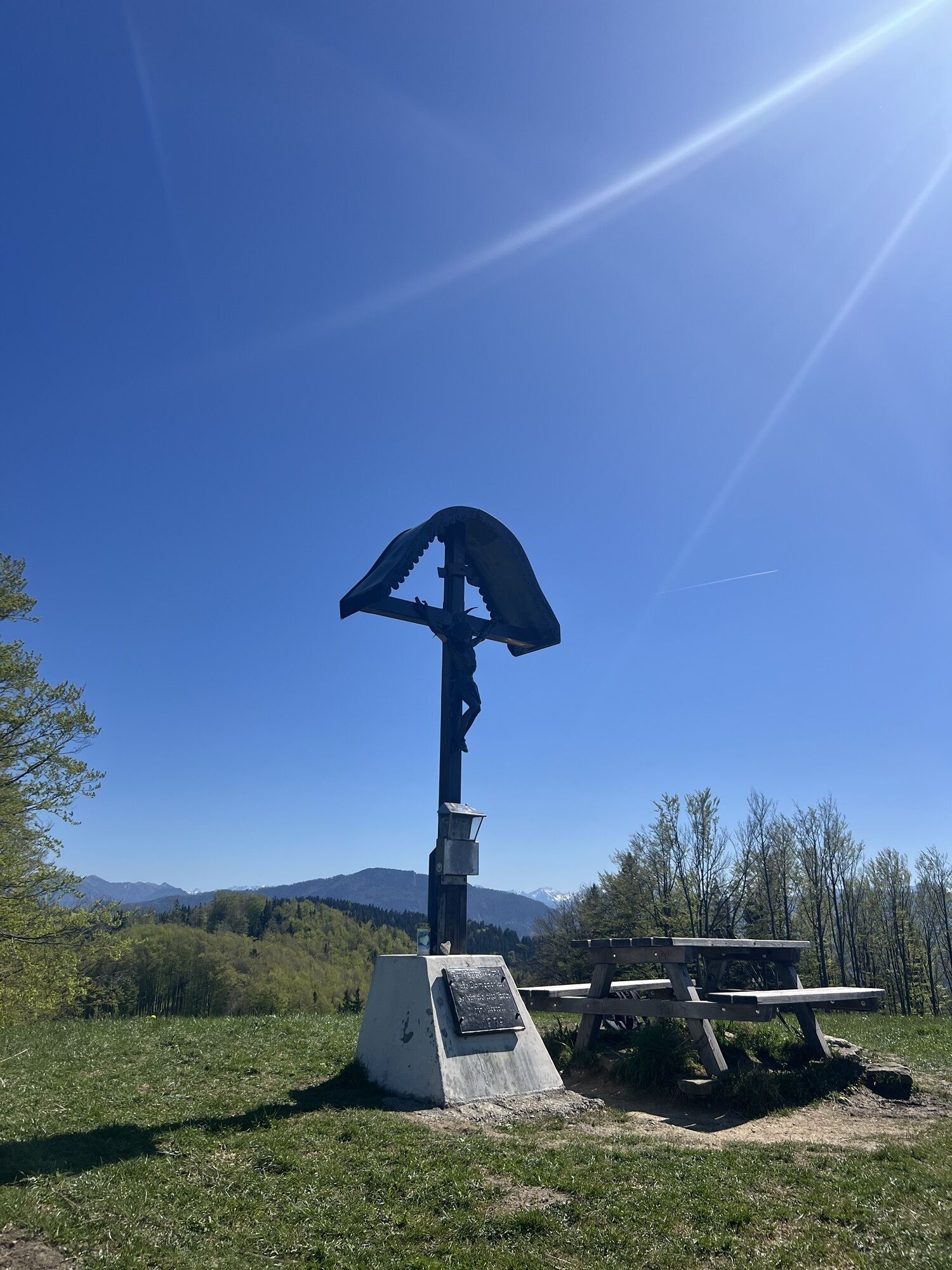
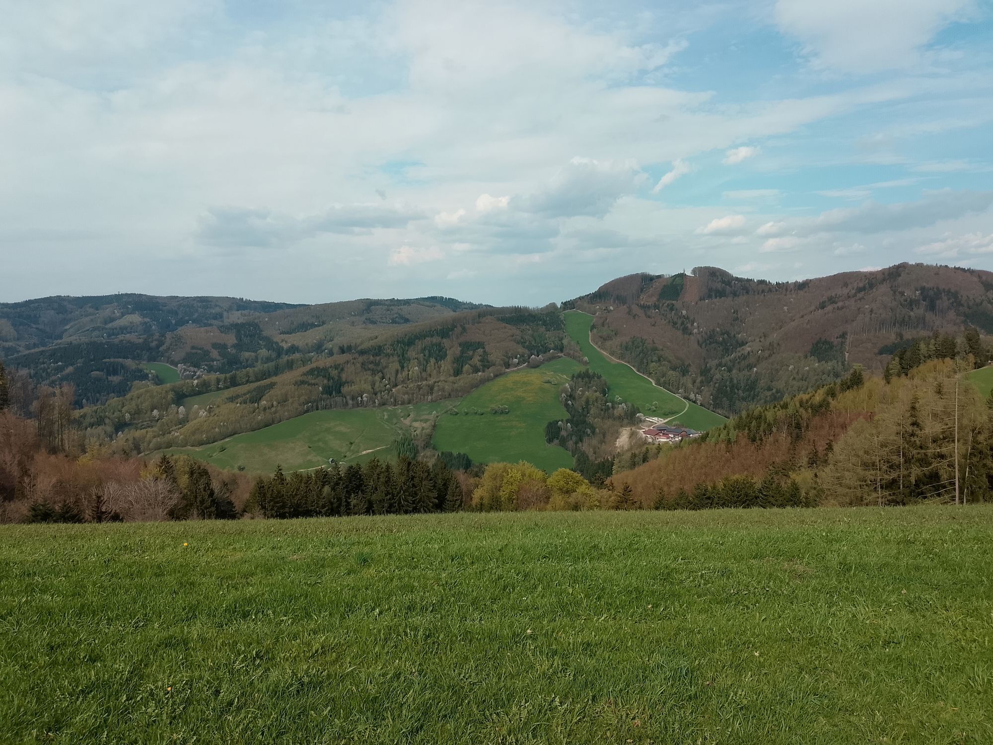
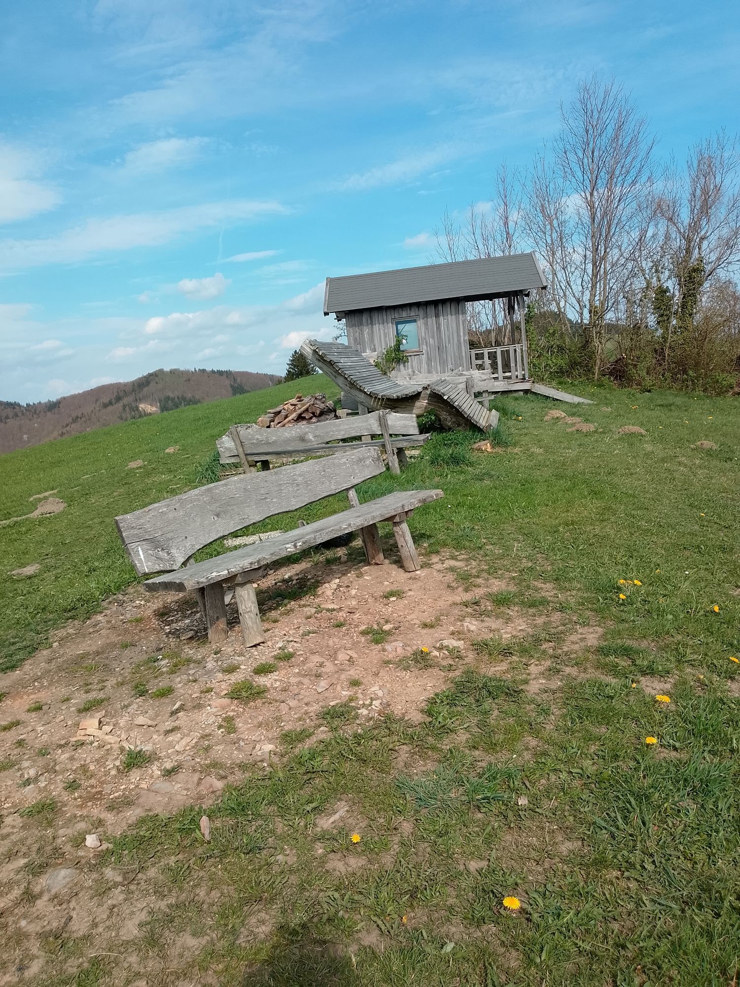
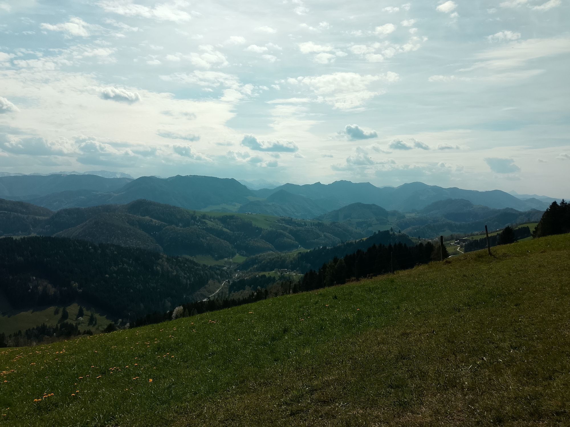
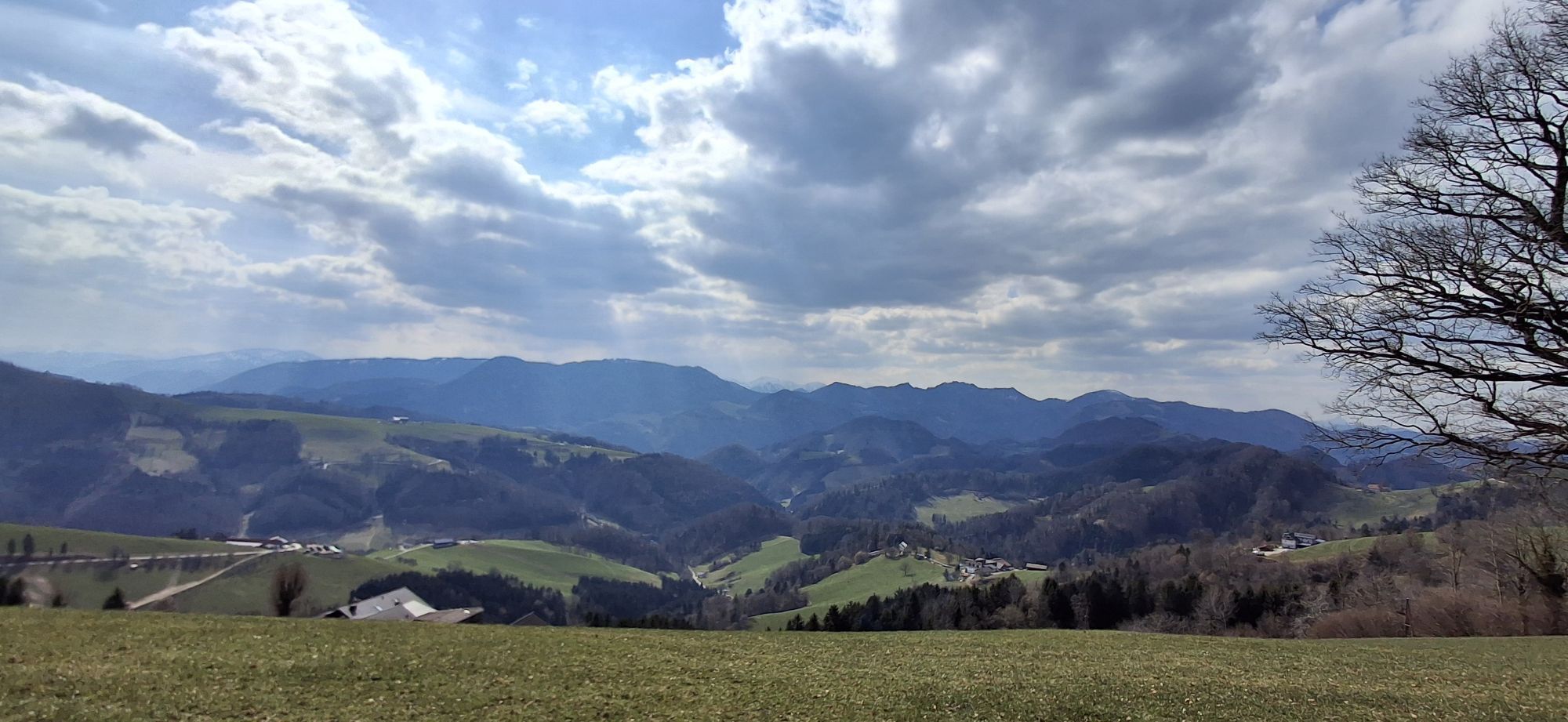
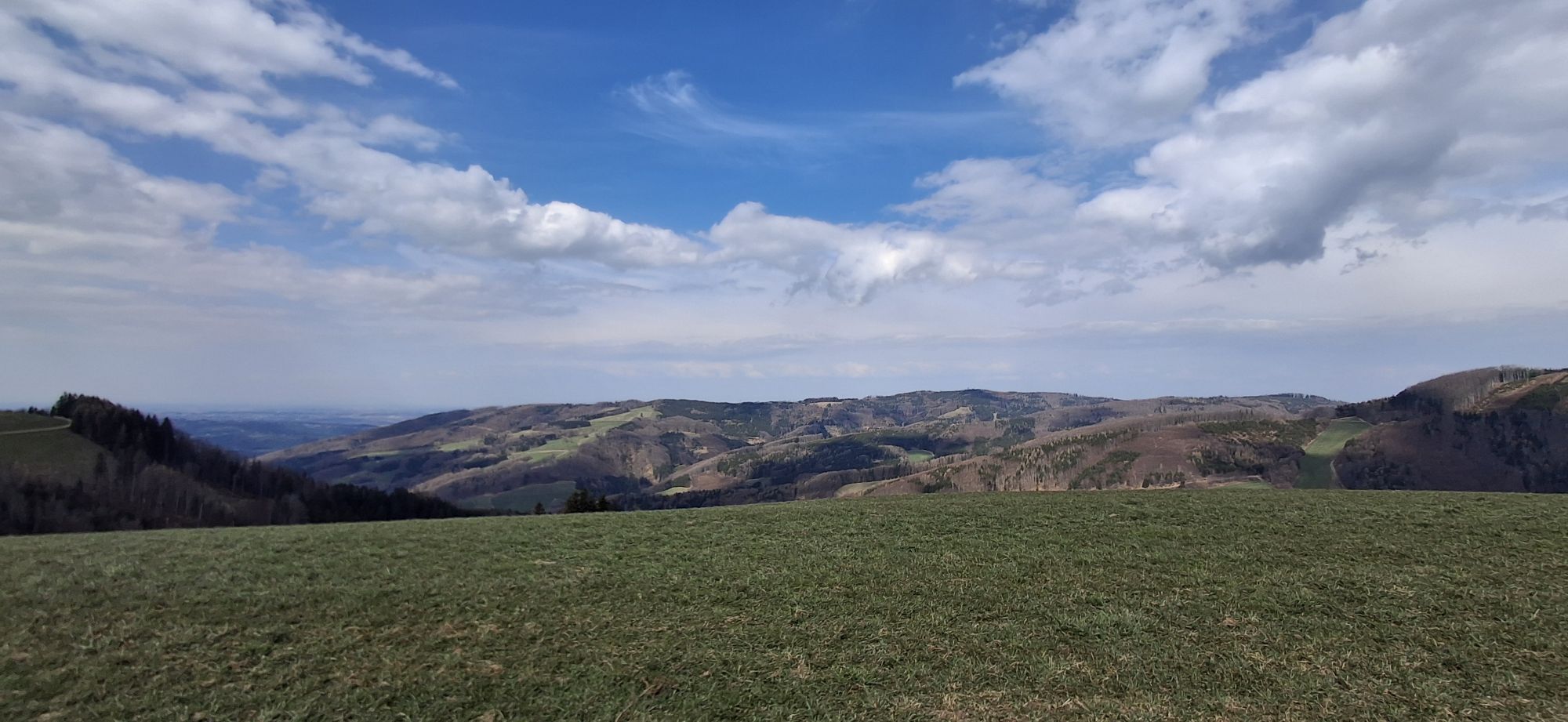
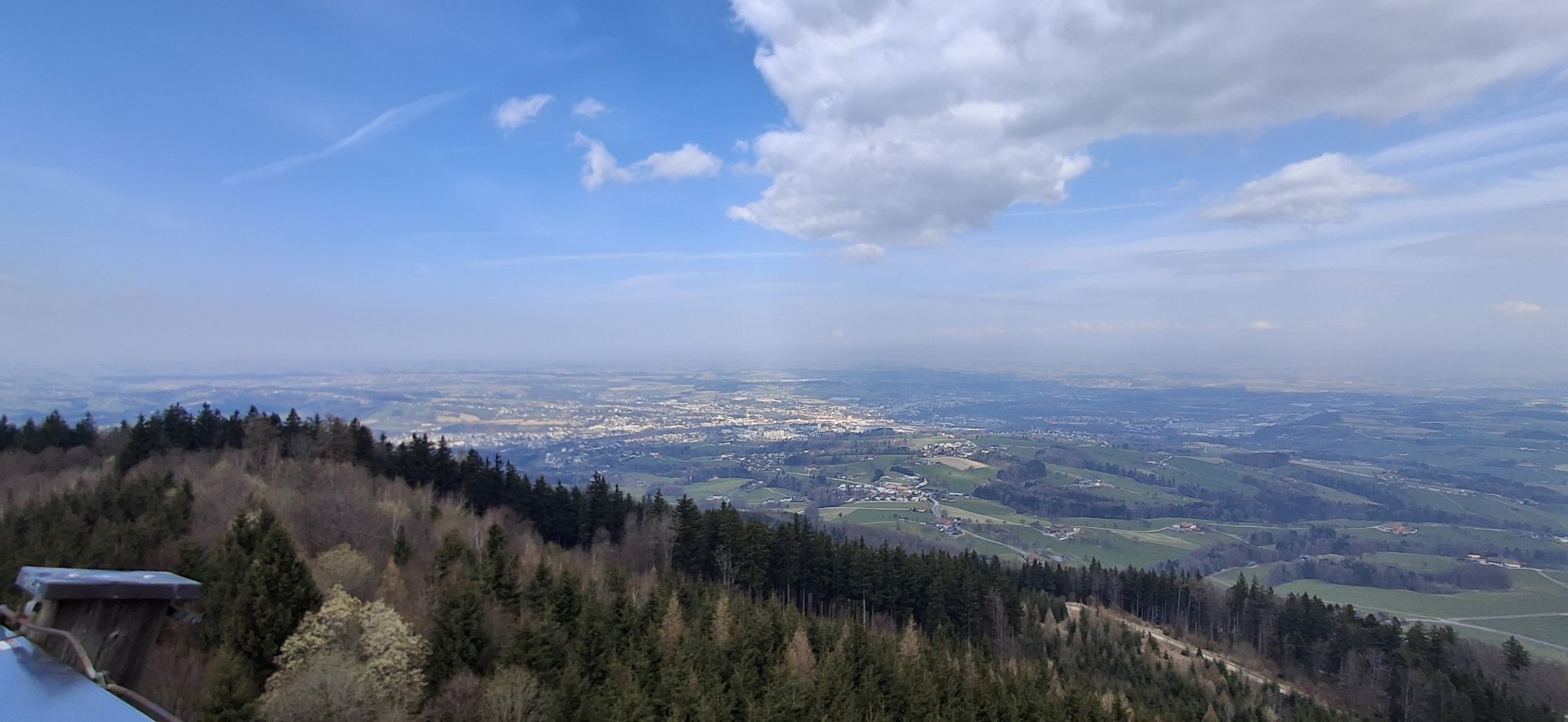
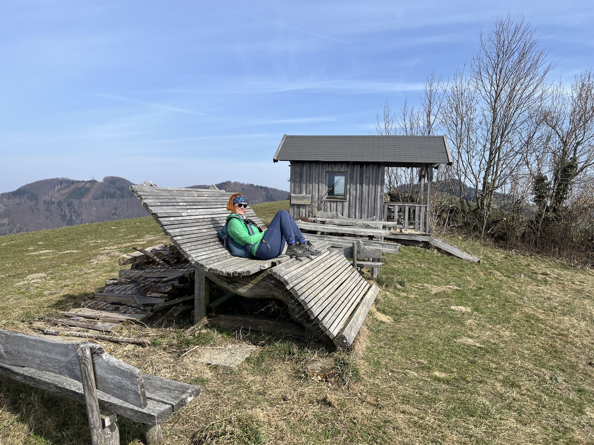
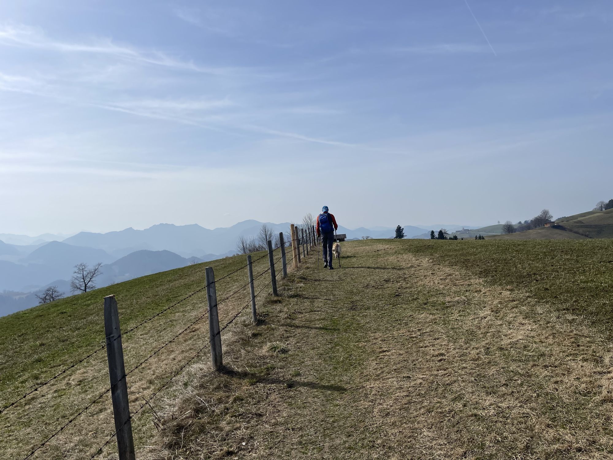
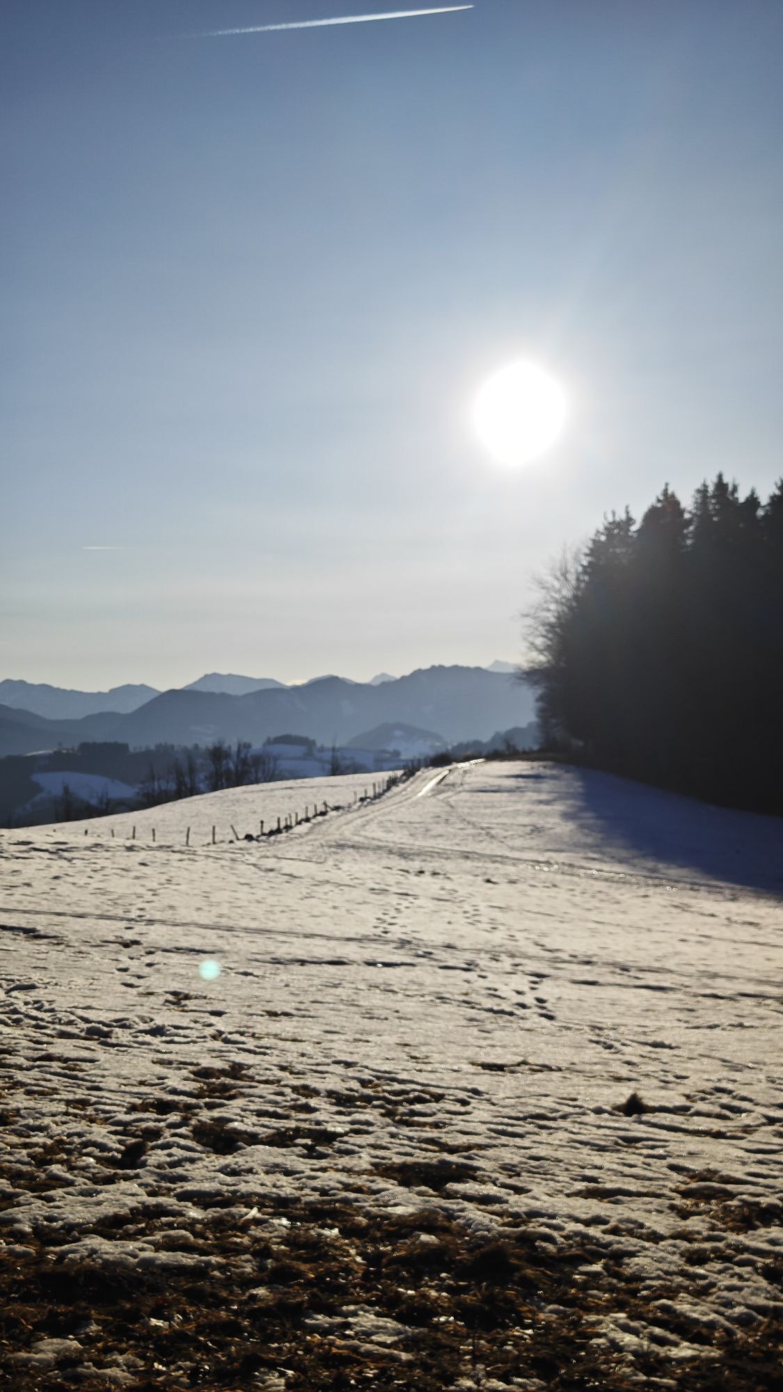
“The route starts directly in Garsten at the train station. From there, it first goes through the town, past the outdoor pool and over the power plant. A nice gravel path leads upstream along the dammed Enns until at km 3.5, after a short steep ascent, the main road must be crossed (gas station). From the foot of Damberg, wonderful trails lead over Windloch (partly quite steep), to Damberg lookout tower (magnificent panoramic view for those without vertigo) and further to Schwarzberg, where the summit cross and bench invite you to take a break. Between km 15-19, the path leads over beautifully scenic meadow trails to Sonnberg and Fuchsenkogel. Along the way, you sometimes have a magnificent panoramic view of the Enns valley. Don’t miss the right turnoff at km 19 and after a few meters, immediately turn left again and downhill over a meadow. Then follows a 2km long and demanding downhill. Now the path leads downhill back to the Enns and over the bridge to Lahrndorf. The elevation gain is completed, and a cool-down run along the Enns awaits.”
The required equipment always depends on the respective route and the weather conditions. Regarding food: this is very individual, and it is advisable to have more rather than less in terms of equipment and food. A 5km round in the valley requires less than a demanding mountain route. The weather can change quickly, and if you are not constantly moving or need to take a break, warming clothing, for example, is very important.
We have a general checklist for you here:
Weather-appropriate running clothes for the respective season – weather forecast – region – altitude. This includes, among others:* a waterproof rain jacket
* waterproof rain pants suitable for running
* gloves and warm headgear (cap/headband/tube scarf)
* sunglasses + sunscreen + headgear for very warm days Trail running shoes Water bottles, soft flasks, or a hydration bladder with enough liquid for the respective route (possibly also salt tablets/magnesium) Snacks for an energy boost in between: energy bars, gels, chocolate, trail mix, Running backpack: ideally a trail running vest / a trail running backpack or a waist belt for small tours. Drypack: to keep your valuables or change of clothes dry (optionally a small garbage bag) Emergency blanket Small first aid kit. An Israeli bandage is very recommendable in my opinion: it is a one-handed operated wound and pressure dressing. Details can be found here. Emergency whistle (often integrated into the trail backpack) Mobile phone Map material (online and/or offline) E-Card or insurance card Some cash Microspikes: these can be very advantageous in winter and icy conditions. Folding poles for trail running Headlamp
Garsten train station
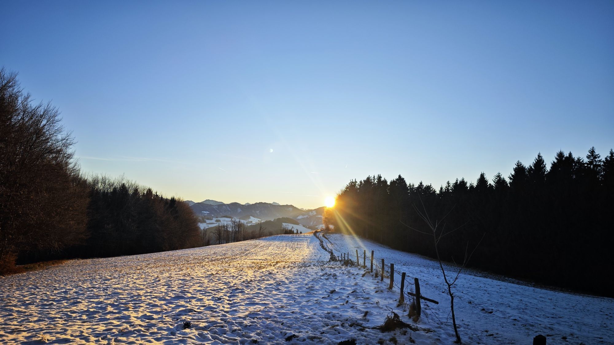
The panorama trail around Sonnberg and Fuchsenkogel is breathtakingly beautiful in the evening mood due to its western orientation!
Webové kamery z prohlídky
Oblíbené prohlídky v okolí
-
4.7
Grünburger Hut via Dorngraben Molln
středníTuristika 3.43 km -
4.6
Schoberstein (from Molln)
středníTuristika 3.63 km -
4.8
Steinerner Jäger (1185m) und Schieferstein (1206m) ab Parkplatz Hochhabichler
středníTuristika 4.46 km -
4.6
Dürres Eck - Gaisberg - Hochbuchberg
středníTuristika 11.2 km -
4.6
Pfaffenmauer - Schoberstein - Gipfel der Lust Gasthof Klausriegler, Oberösterreich/Österreich
středníTuristika 9.72 km -
4.5
Ternberg -Schoberstein
středníTuristika 6.60 km -
4.7
Steinerner Jäger (1185m) und Schieferstein (1206m) ab Parkplatz Hack
heavyTuristika 8.58 km -
4.8
Enns Active Trail Ternberg
středníTuristika 9.61 km -
4.4
Kleine Gipfelrunde Glasenberg
světloTuristika 4.99 km -
4.8
Rieserberg-Grünburgerhütte-Hochbuchberg und zurück
světloTuristika 7.80 km
Pěší turistika a stopování


Nenechte si ujít nabídky a inspiraci pro vaši příští dovolenou
Vaše e-mailová adresa byl přidán do poštovního seznamu.