



Heiligenstein via Pfarralm snowshoe hike

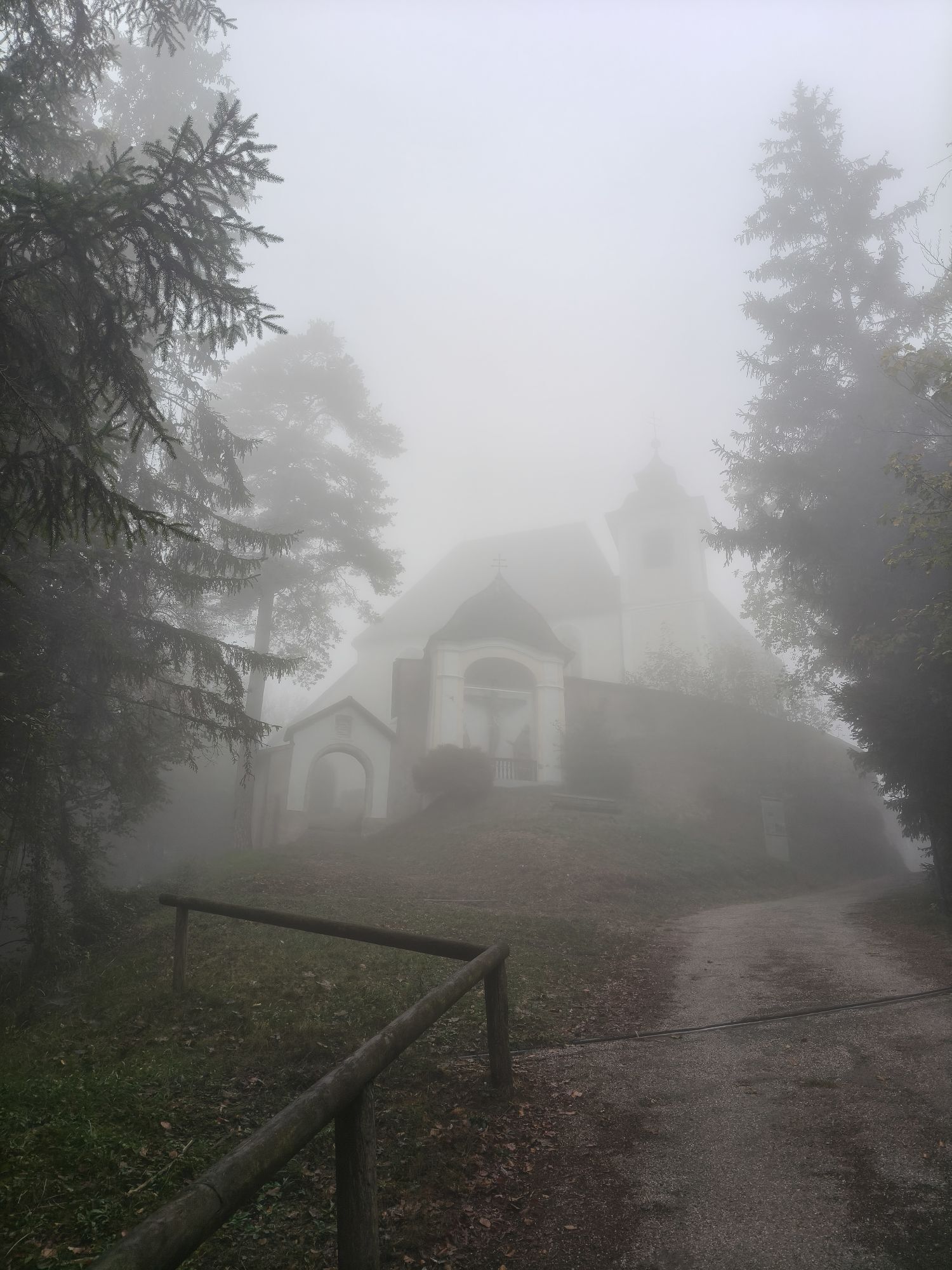
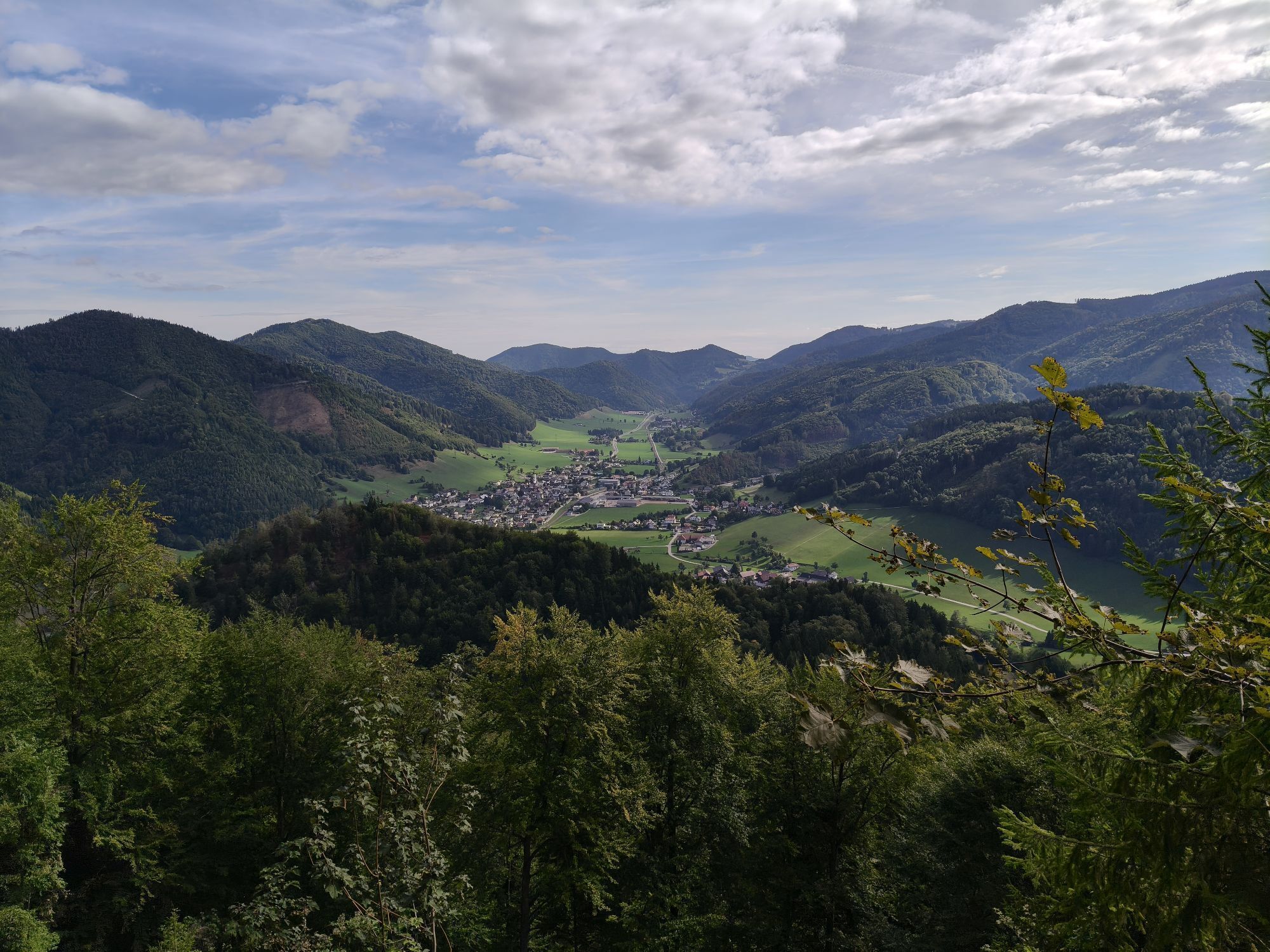
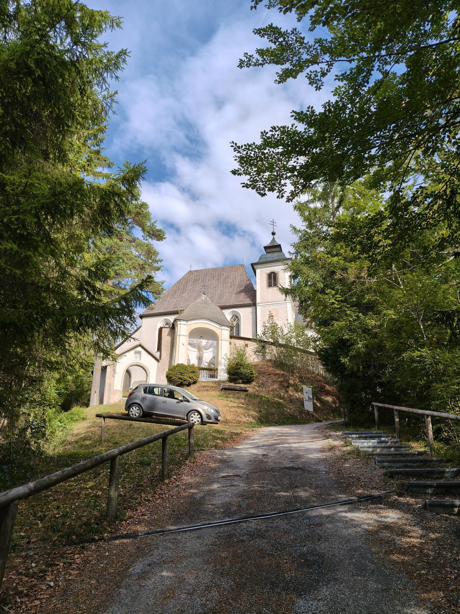
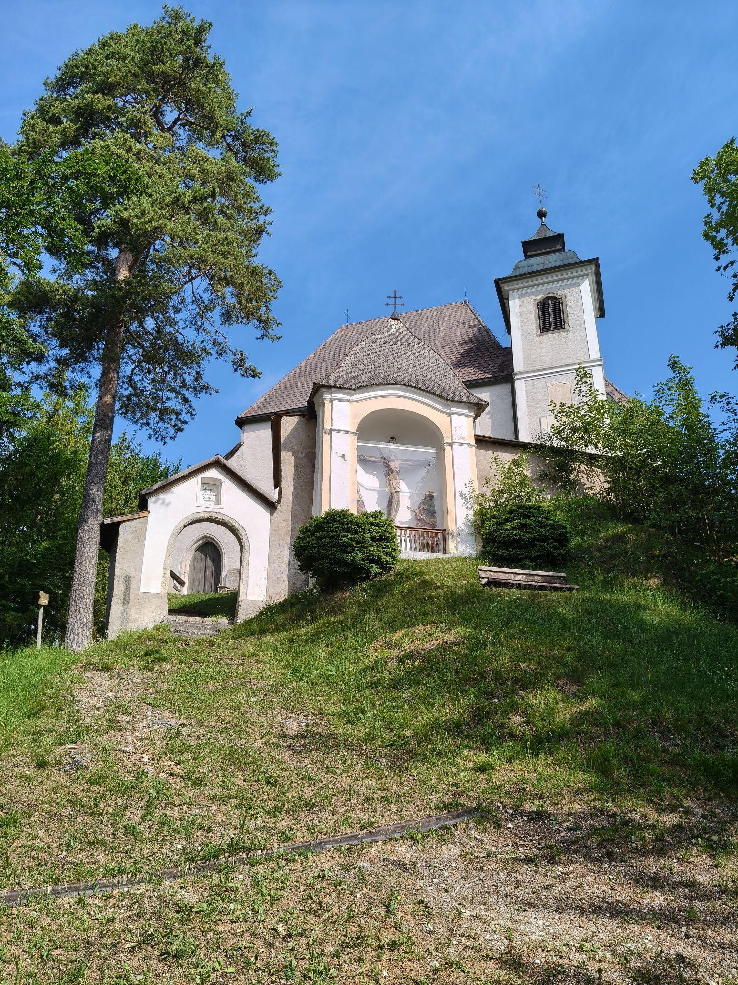
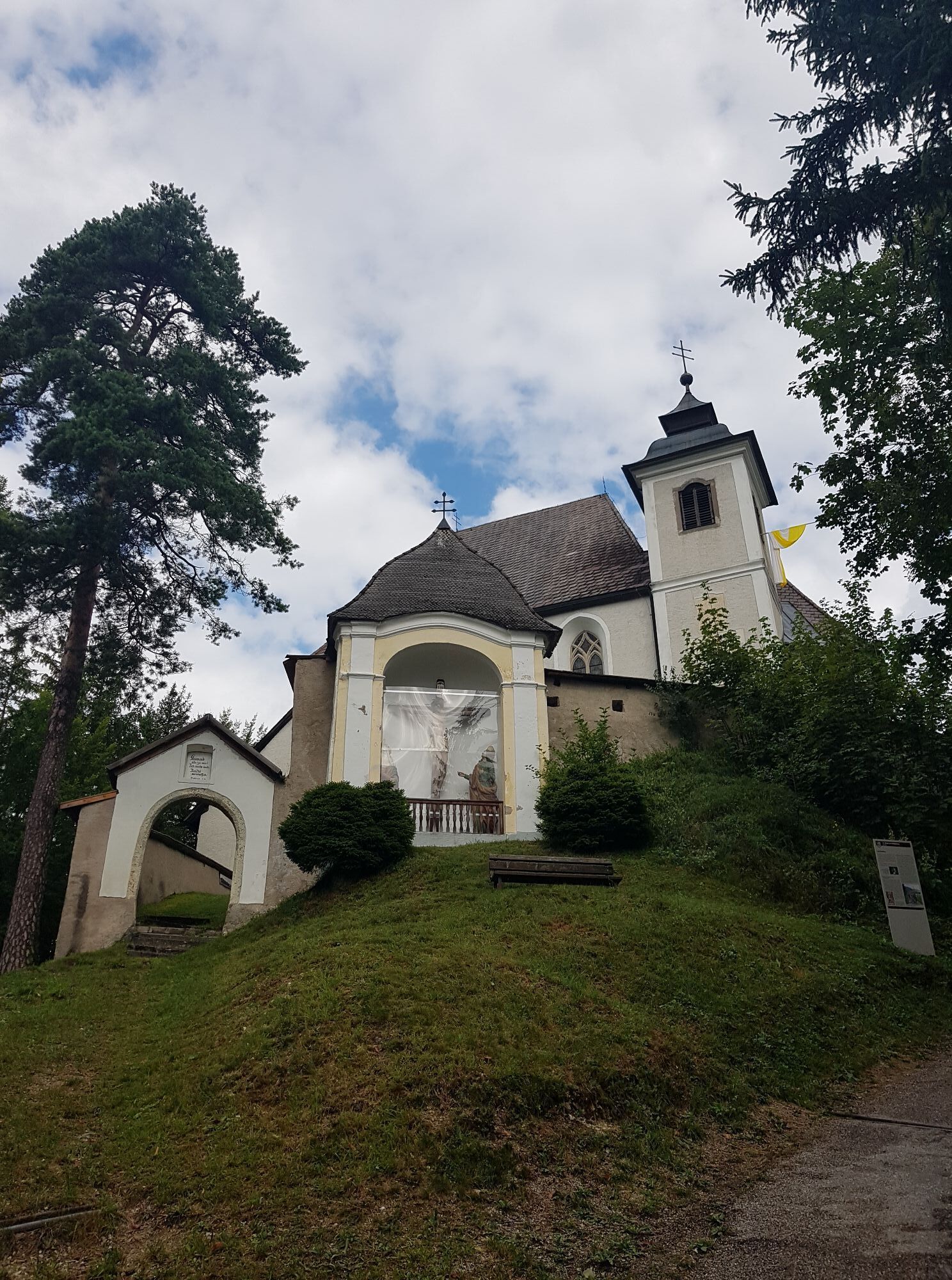
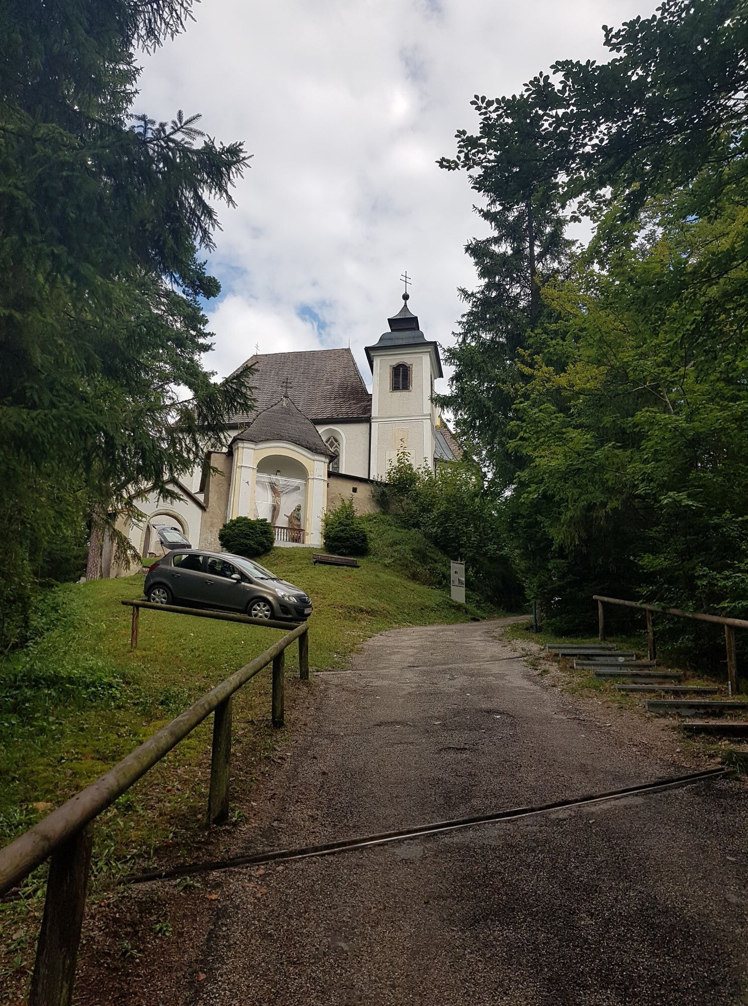
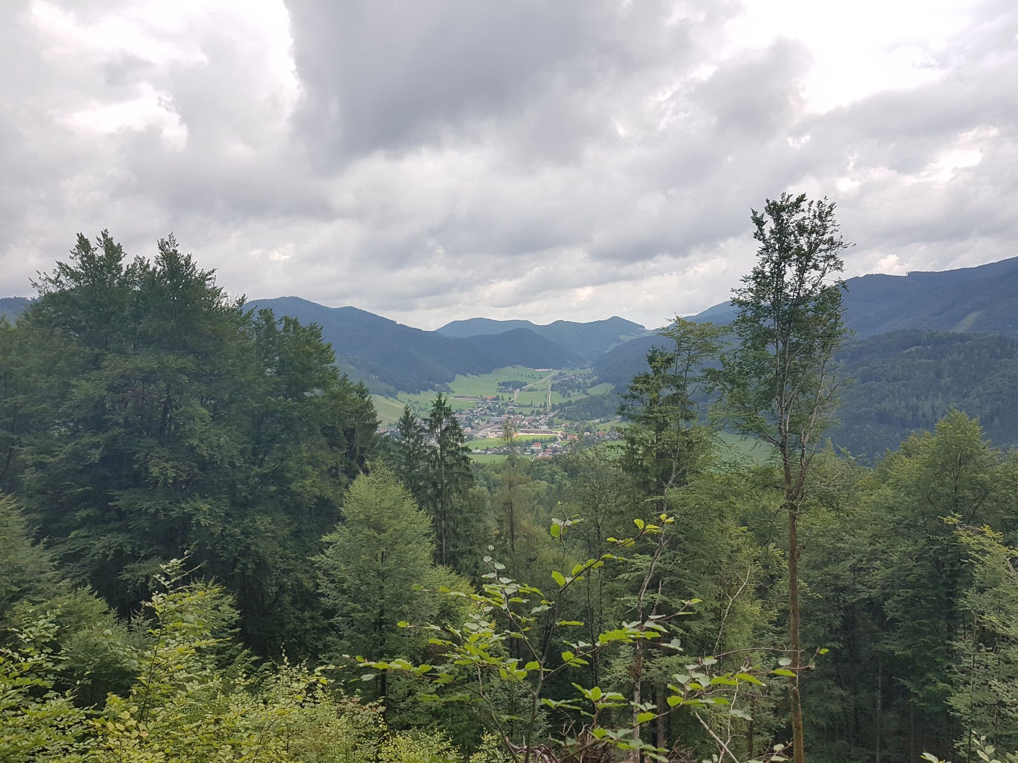
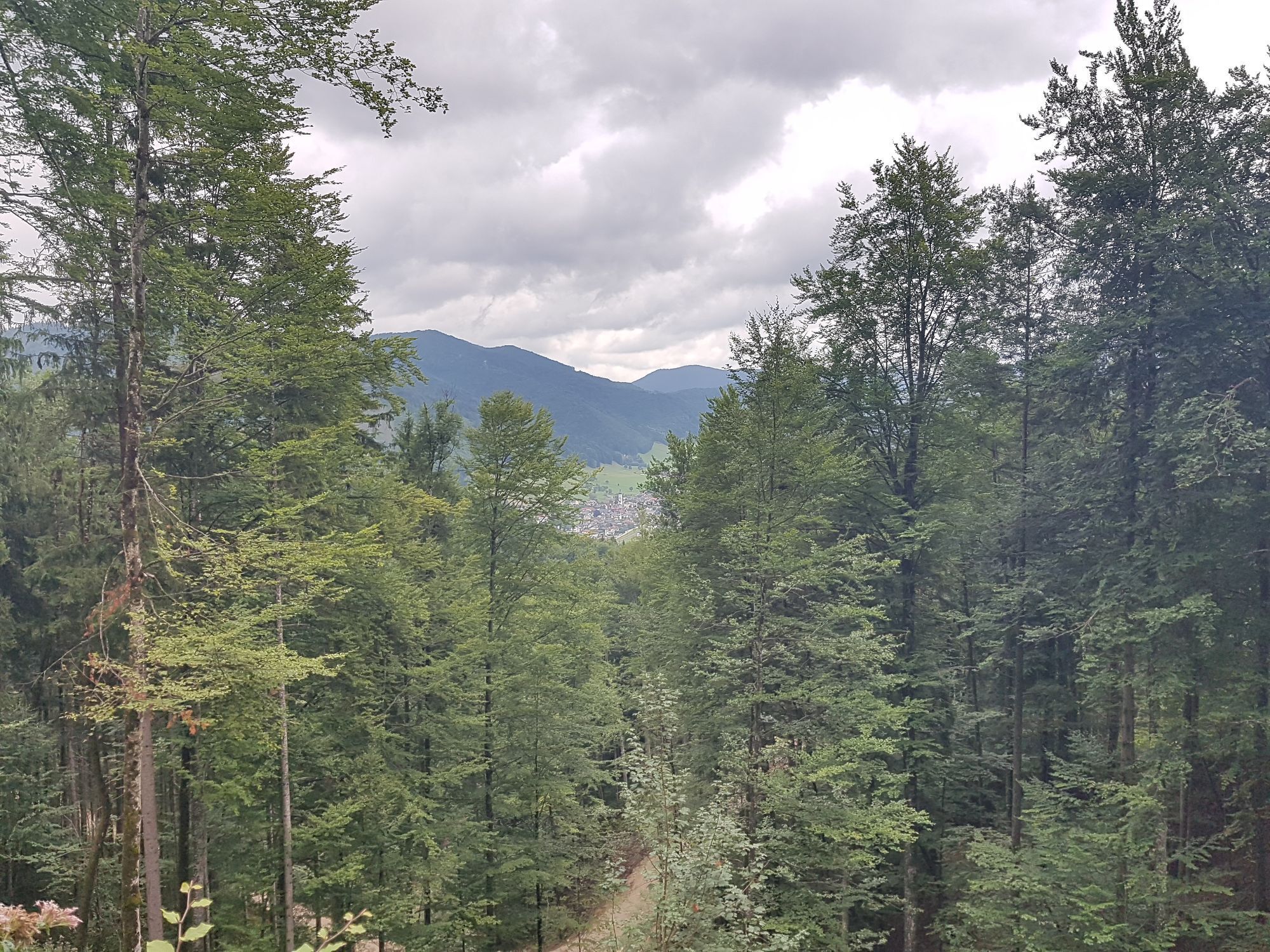
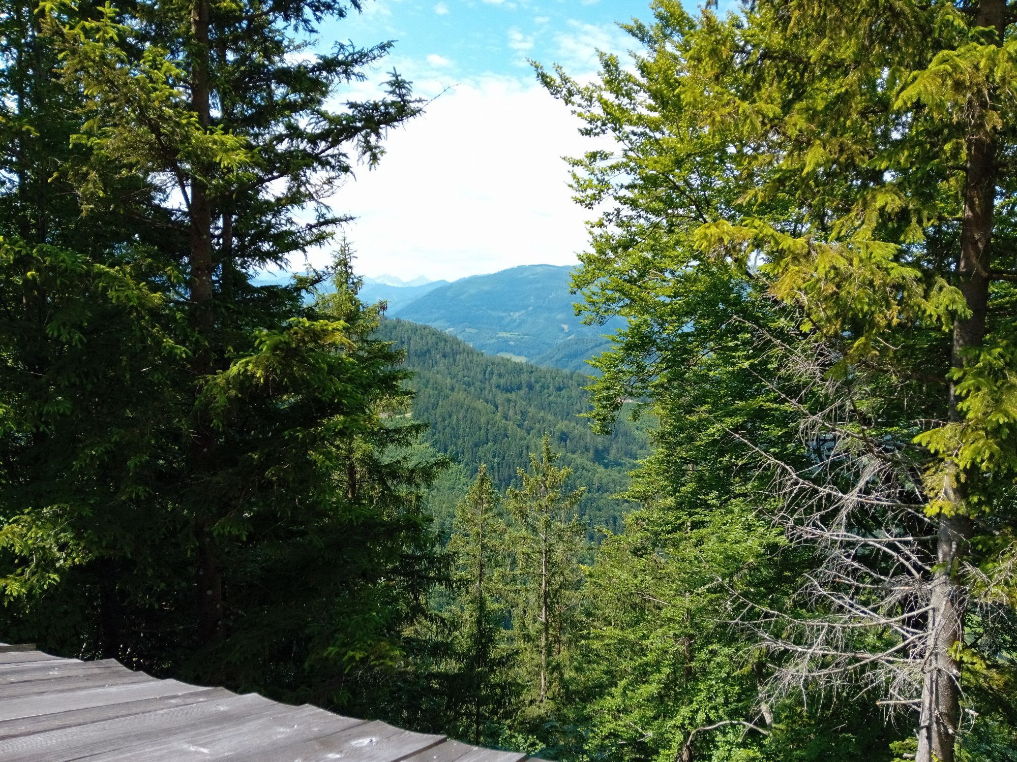
The hike on the Heiligenstein offers a magnificent panoramic view of Gaflenz and the peaks of the Weyrer Bögen (Almkogel, Bodenwies ...), Gesäuse mountains and the Haller Mauern, and also leads to a traditional...
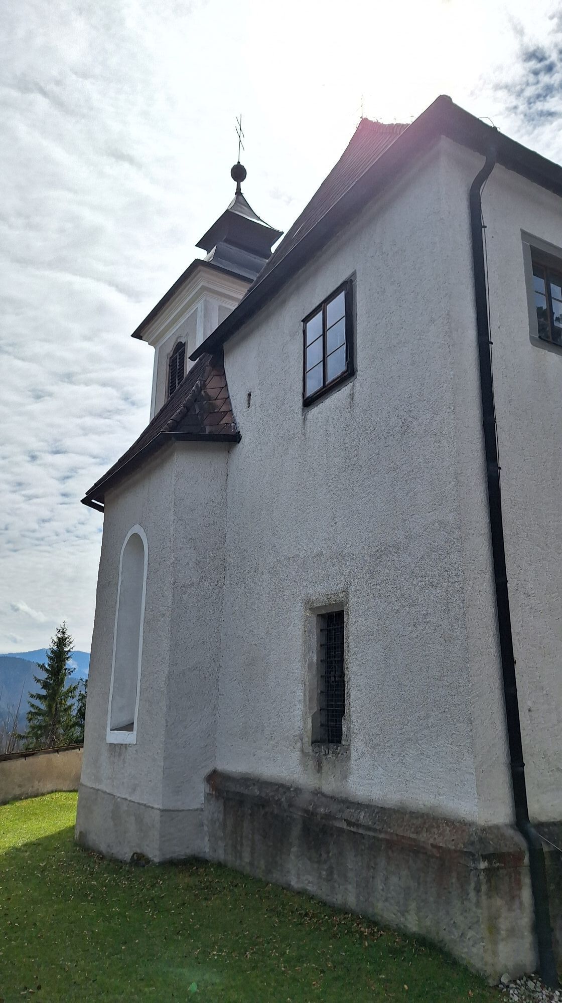
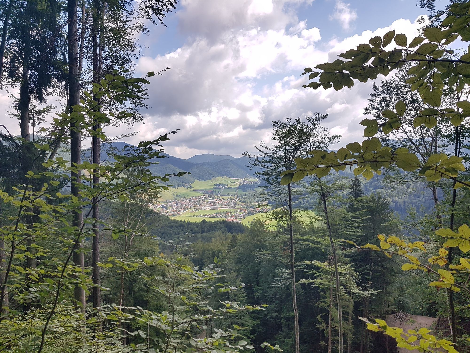
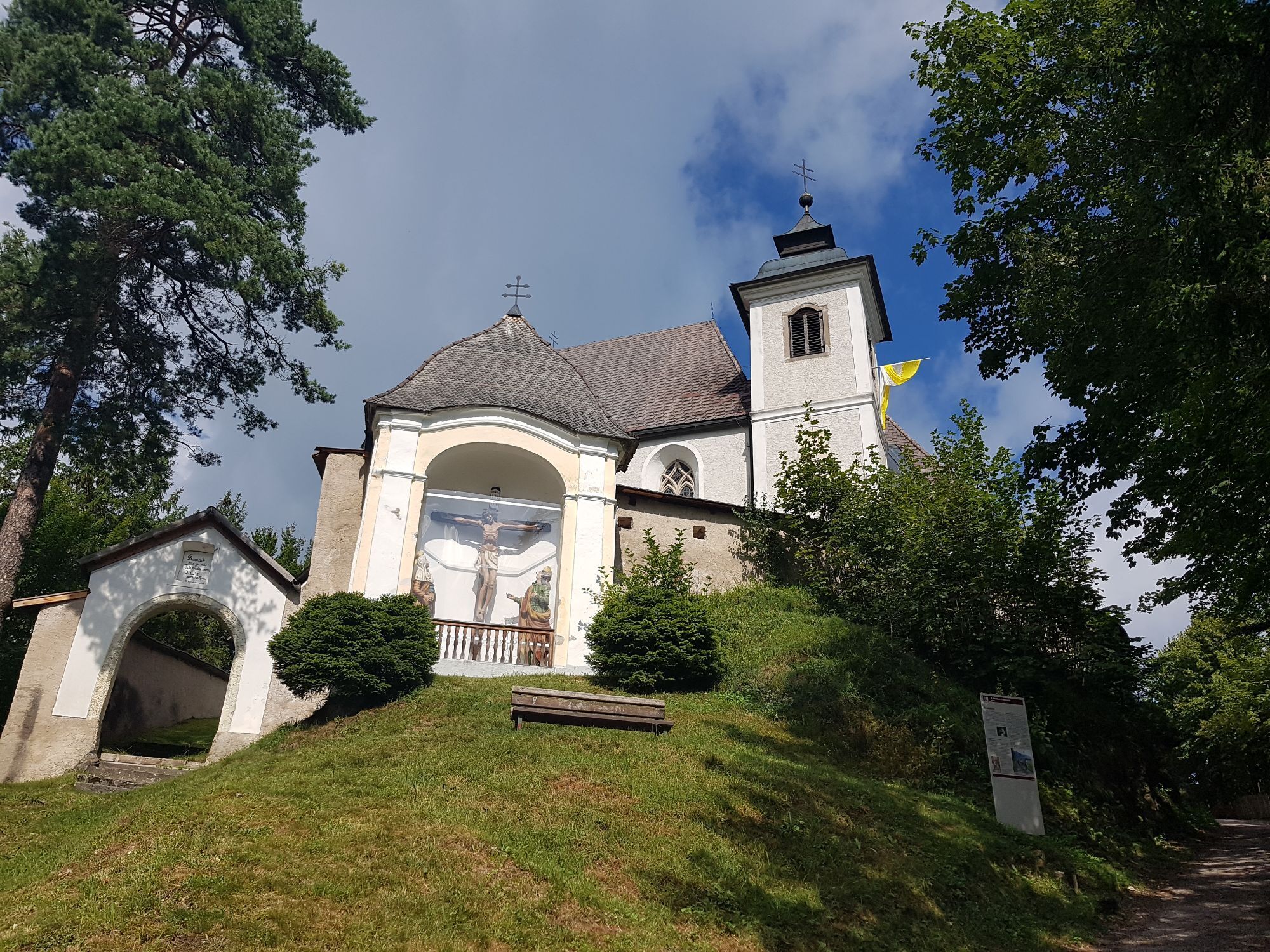
The hike on the Heiligenstein offers a magnificent panoramic view of Gaflenz and the peaks of the Weyrer Bögen (Almkogel, Bodenwies ...), Gesäuse mountains and the Haller Mauern, and also leads to a traditional pilgrimage site, the only Sebaldus church in Austria.
Hiking trail: E07



Starting from the town center, hiking trail E07 leads via the Pfarralm to the Heiligenstein, and several other paths offer access to the Heiligenstein, making various circular hikes possible.
Variants:
E06 crossing or descent to Weyer (or vice versa) from Gaflenz via the Stations of the Cross (approx. 1.5 hours, 295 m elevation gain)
E08 from Lindau via the Oberwinkel farm (2 hours, 335 m elevation gain)
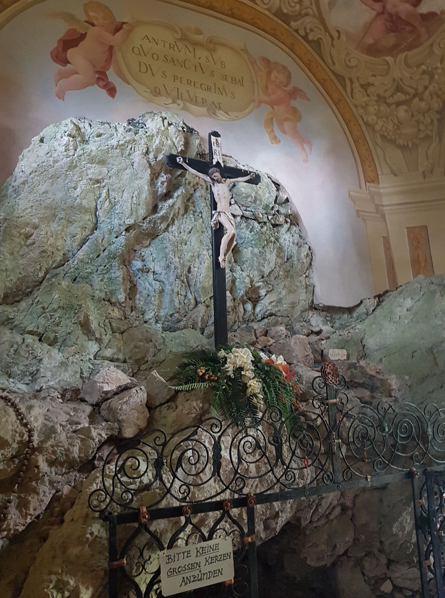
E09 from Weyer via the nature trail themed path: At several stations in and around the church, visitors receive information about the history of the mountain sanctuary, its significance as a pilgrimage site, and the work of Saint Sebald.
In the so-called sacristan's house is today the snack station. On weekends and public holidays from May to October, guests are treated with regional specialties and homemade pastries.
Ano
Climate-friendly to the National Park region - Gaflenz train station: By train you reach the starting point for this hike in about 2 hours from Linz and about 2.5 hours from Vienna.

Oblíbené prohlídky v okolí
- 4.9
Ennser Hut - Almkogel (from Bamacher car park)
středníTuristika 3.53 km - 4.9
Kurzeck- Siebenhütten- Turnhöhe- Kitzhütte Göstling an der Ybbs, Österreich
světloTuristika 12.8 km - 4.7
GROSSRAMING Bamacher, Burgspitz, Almkogel, Ennshütte 20240730
středníTuristika 10 km - 4.4
Kleine Gipfelrunde Glasenberg
světloTuristika 4.99 km - 4.6
Gamsstein (1275m) und Gschwendtalm ab Parkplatz Brunnbach
středníTuristika 7.37 km - 4.3
Freithofberg
středníTuristika 9.15 km - 4.6
Lindaumauer, Maria Neustift
středníTuristika 5.53 km - 4.1
wanderung auf den alpl
středníTuristika 8.18 km - 4.2
Hollenstein Stupfmauer Voralpe Tanzboden retour 20.08.2016
středníTuristika 15.6 km - 4.2
Burgspitz, Almkogel, Wieser, Langlackenmauer und zurück
středníTuristika 13.5 km
Pěší turistika a stopování


Nenechte si ujít nabídky a inspiraci pro vaši příští dovolenou
Vaše e-mailová adresa byl přidán do poštovního seznamu.


