







Radtour Donau - Unteres Mühlviertel

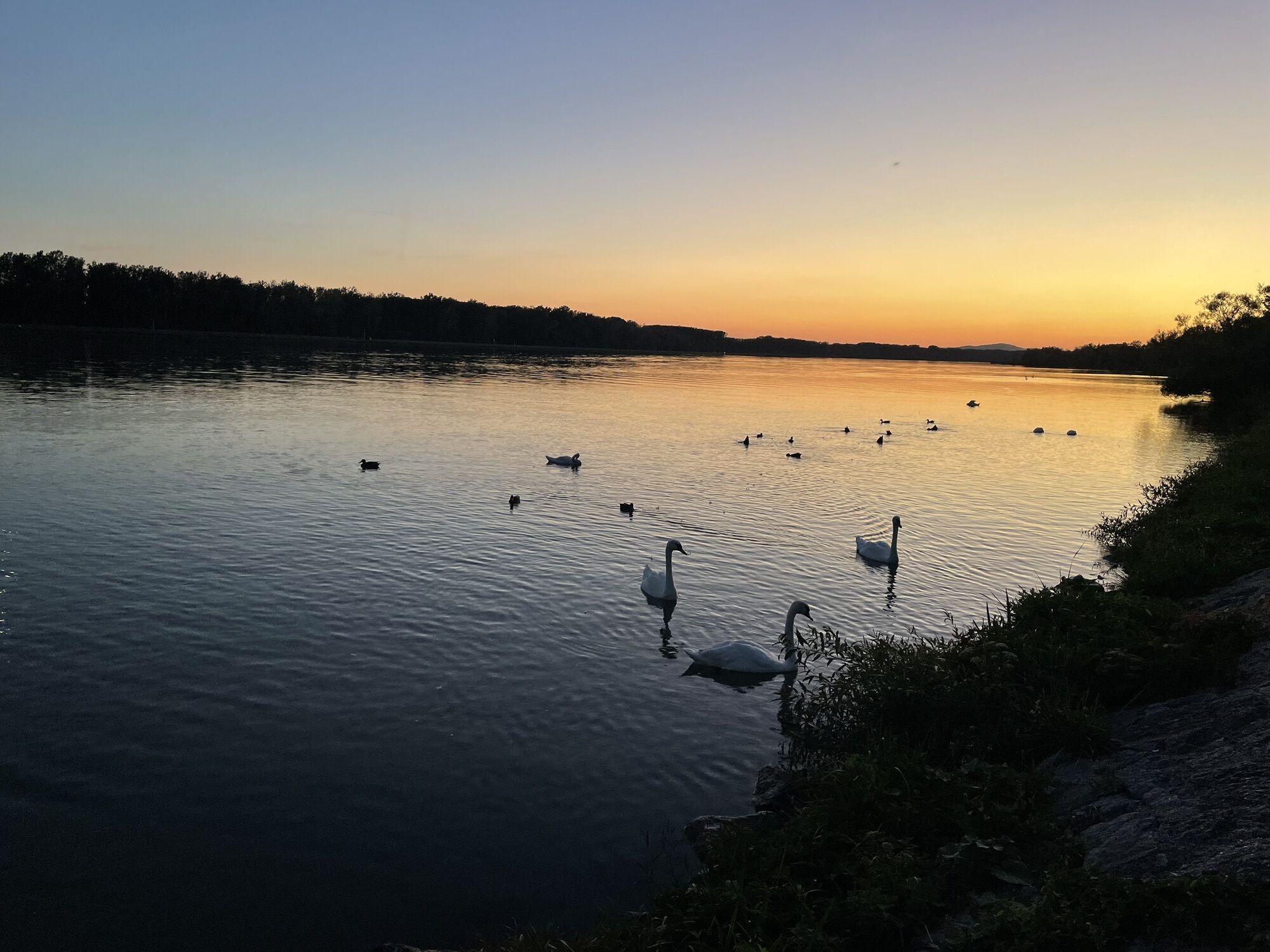
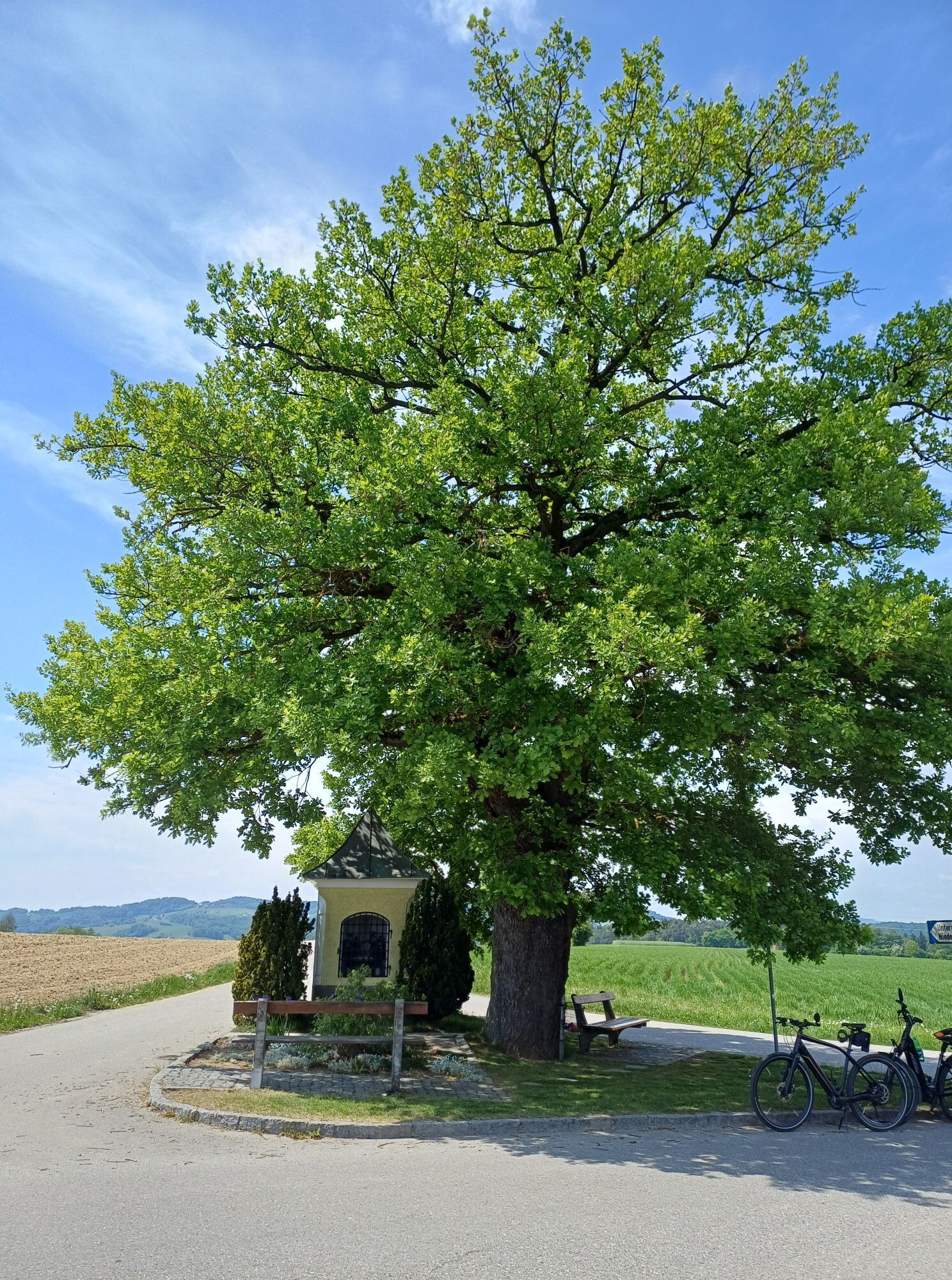

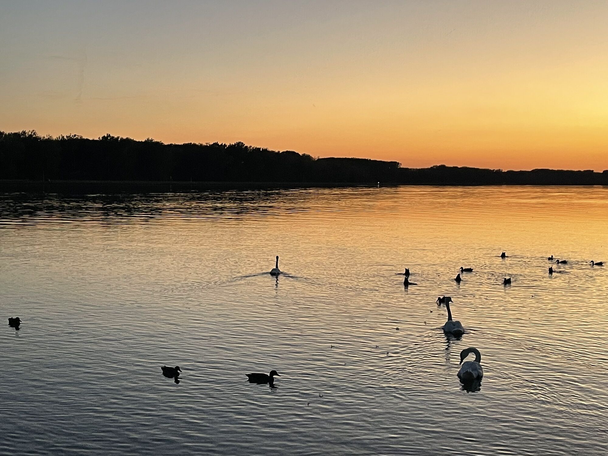
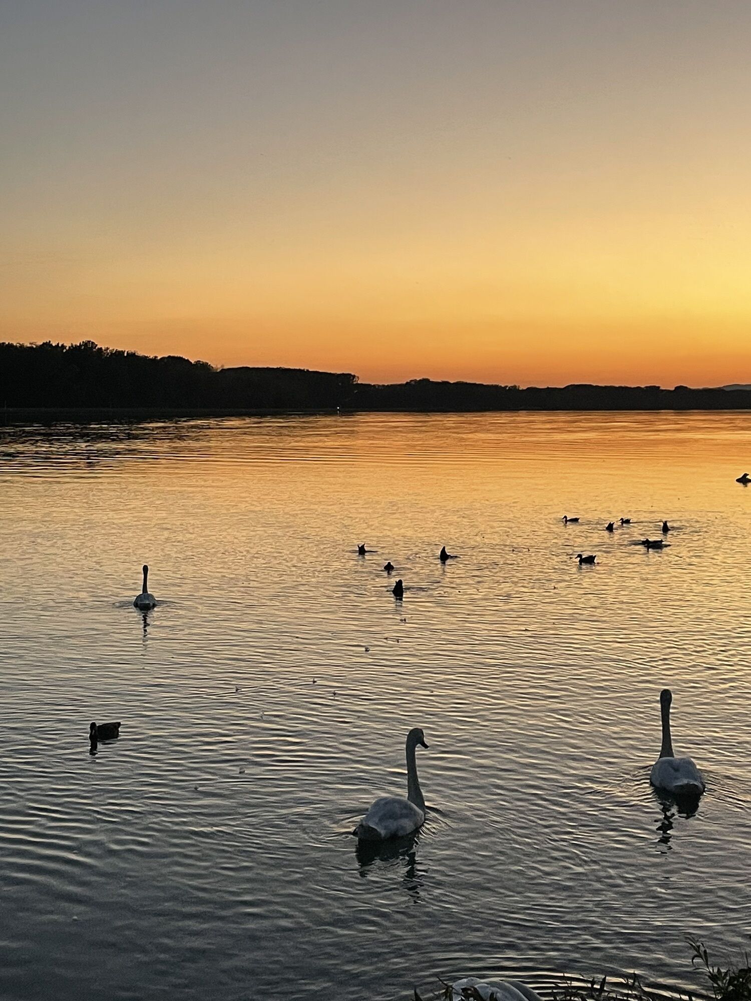
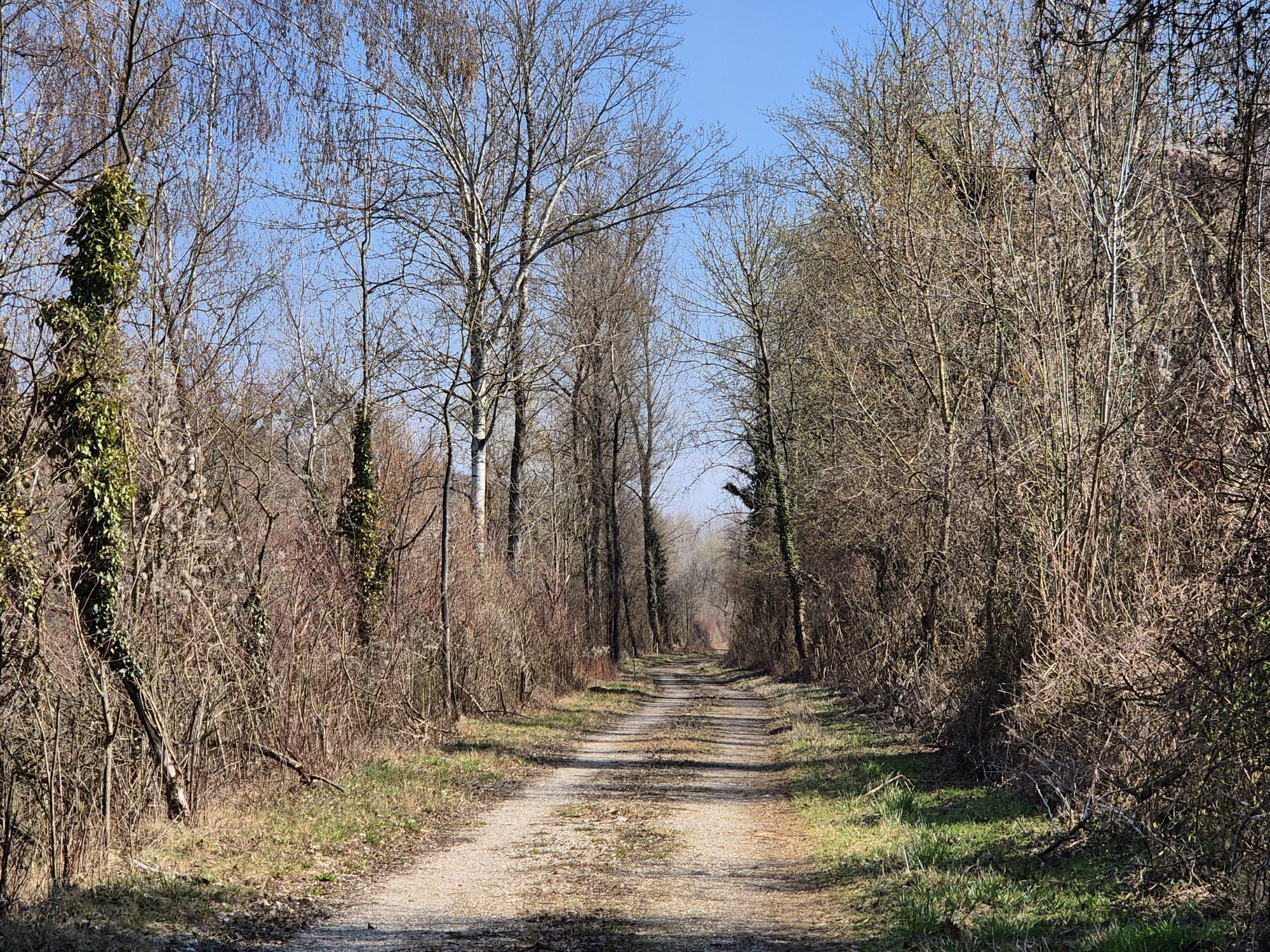
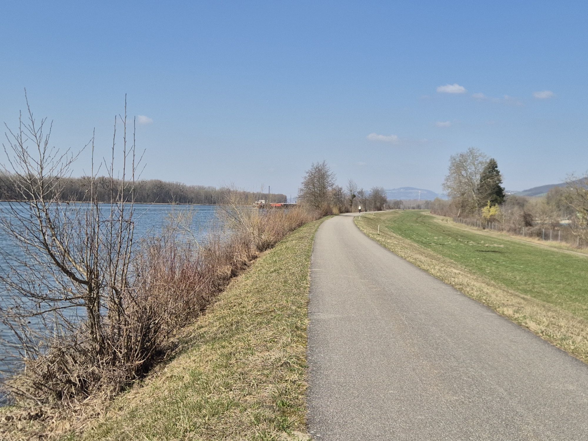
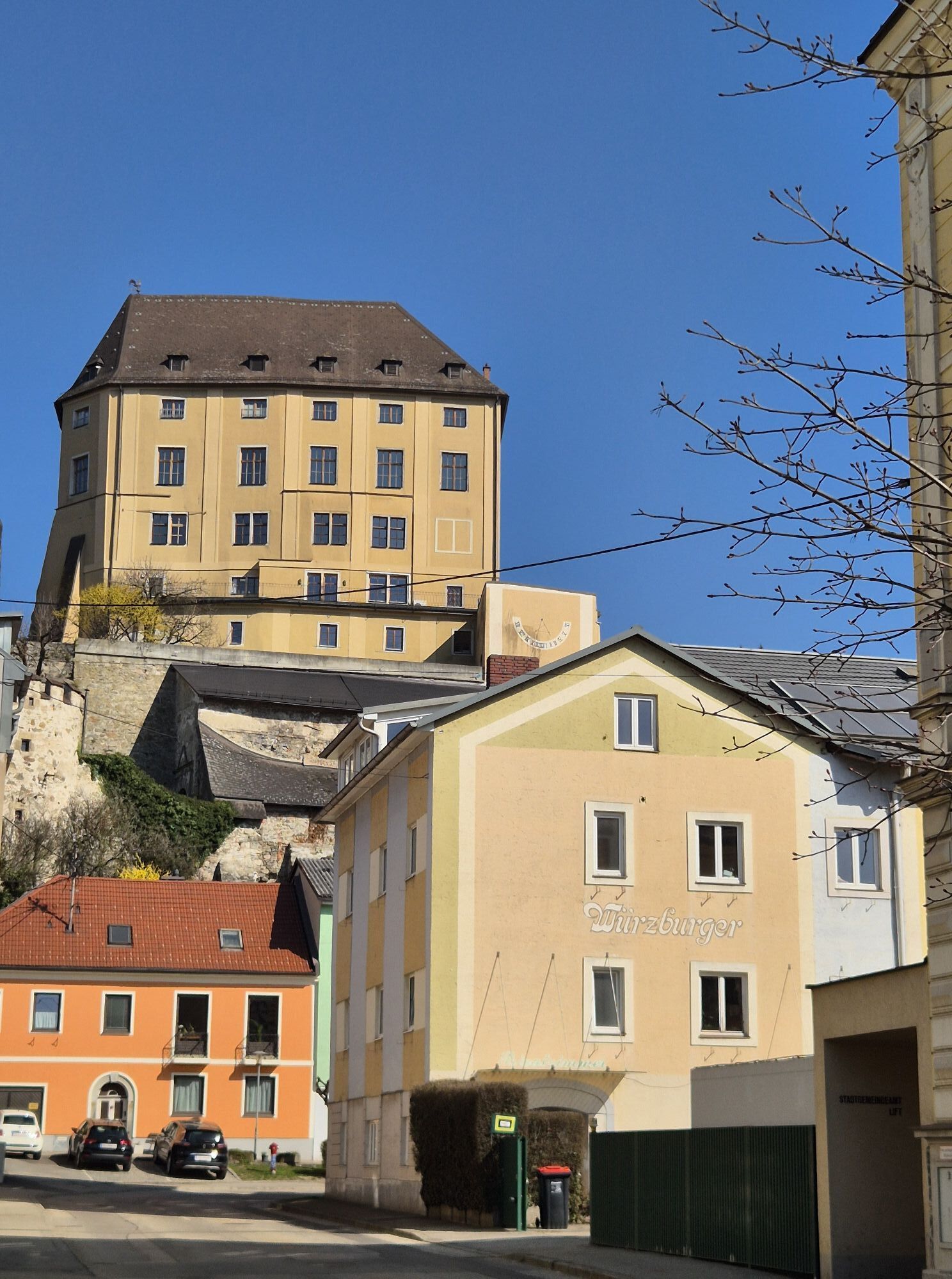
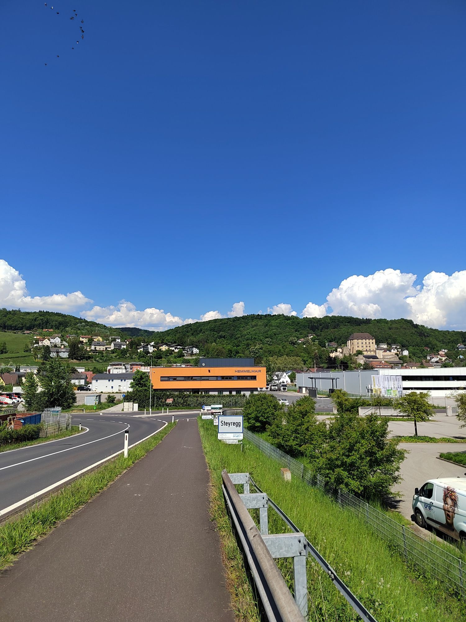
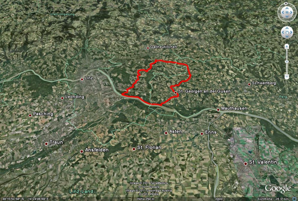
Diese Radtour beginnt wahlweise am Donauradweg in Steyregg. Von dort fährt man über den Badesee und den Ortskern der Stadt Steyregg hinauf in das Reichenbachtal, zwischen dem Pfenningberg und dem Hohenstein...
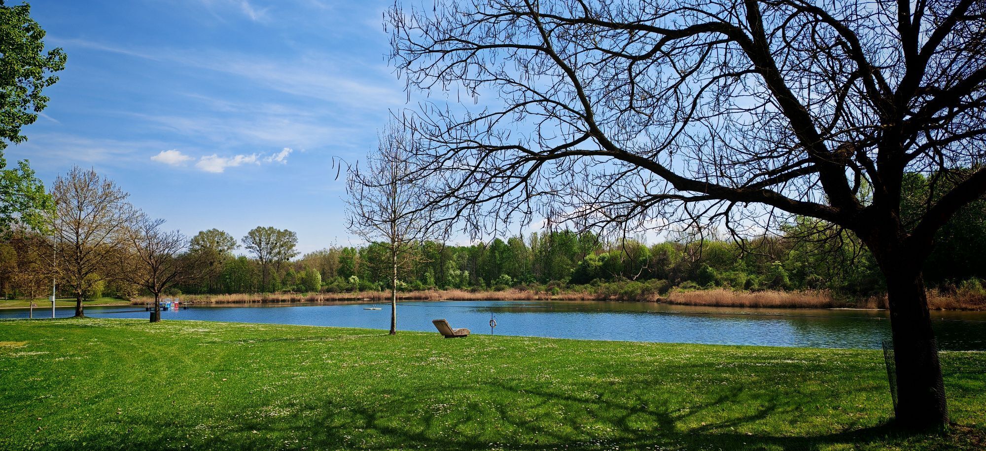
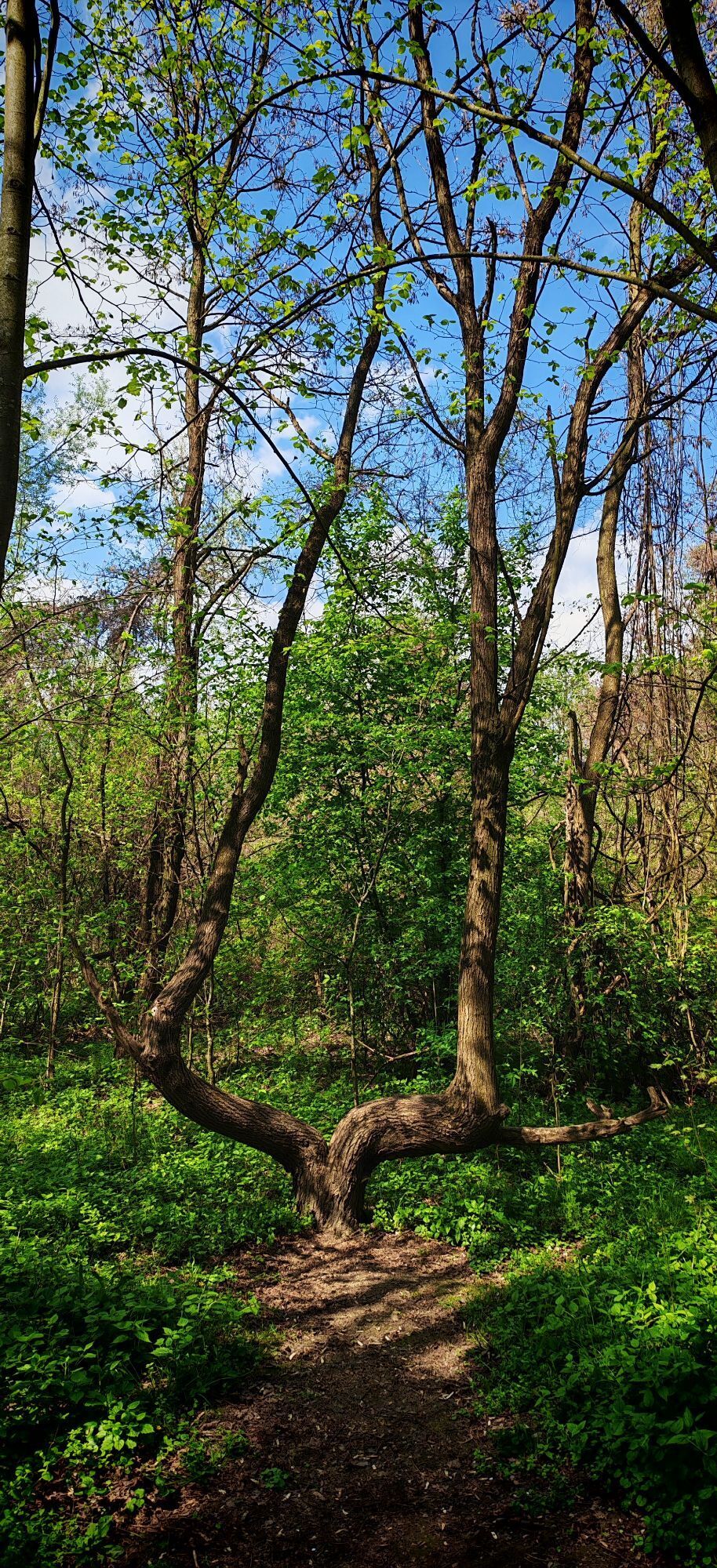
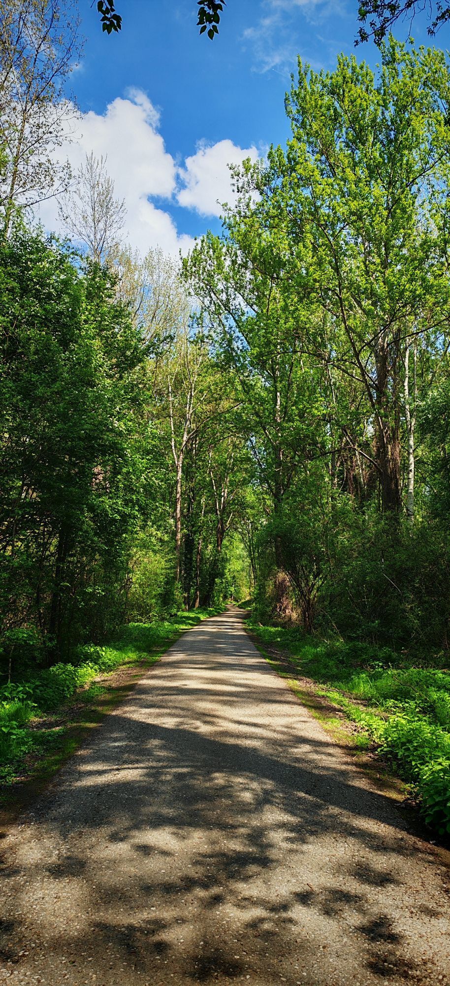
Diese Radtour beginnt wahlweise am Donauradweg in Steyregg. Von dort fährt man über den Badesee und den Ortskern der Stadt Steyregg hinauf in das Reichenbachtal, zwischen dem Pfenningberg und dem Hohenstein eingebettet. Das Reichenbachtal ist eine bis heute wunderschön erhaltene und nur dünn besiedelte Kultur- und Naturlandschaft geblieben, das seine Bseucher mit viel Ruhe und traumhaften Ausblicken zu belohnen versteht.
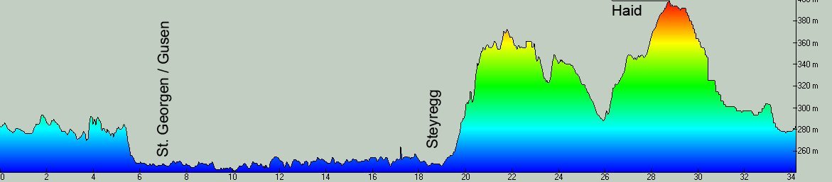
Vom mit 400 Höhenmetern höchsten Punkt der Etappe, in der Ortschaft Haid / Engerwitzdorf gelegen (Einkehrmöglichkeit Landgasthaus Mufferlwirt) geht es dann über die Landesstraße bergab in die Ortschaft Katsdorf (Einkehrmöglichkeit Landgasthaus Fischilwirt). Weiter bergab entlang der Gusen und dem Gusental nach St. Georgen an der Gusen, und schließlich über Abwinden an die Donau auf den Donauradweg (Einkehrmöglichkeit Radwirt).
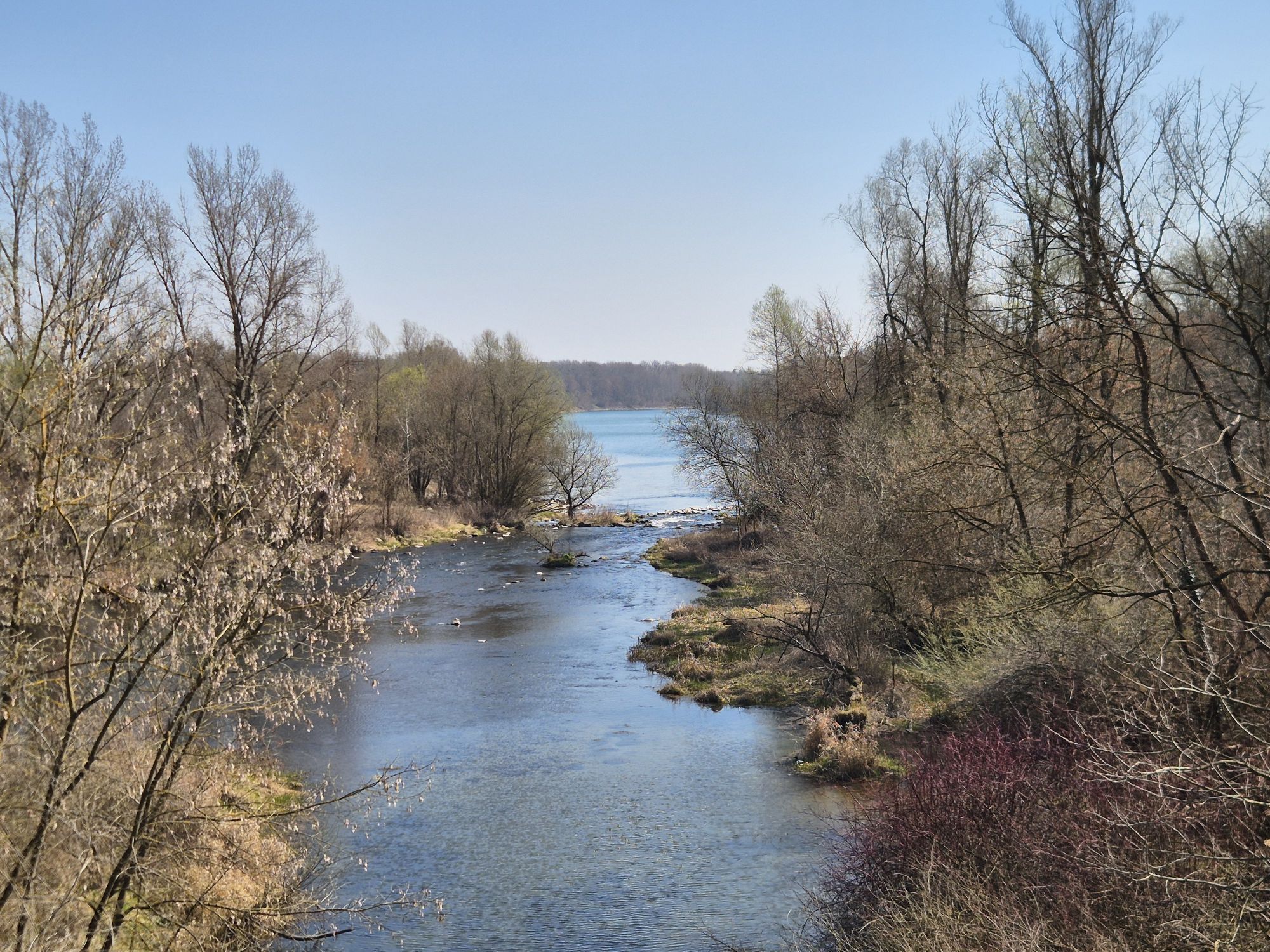
Entlang der Donau fährt man schließlich retour zum Ausgangspunkt der Etappe.
Diese Tour ist auch durchgehend rennradtauglich. Langsamer und in ausgeglichener Weise bergauf fährt man diese Tour in entgegengesetzter Richtung. Dauer ca. 2-3h, mit insgesamt 650 Höhenmetern.
You can optionally enter this tour from the city of "Steyregg", from where you climb the valley of the river "Reichenbach". This idyllic and quiet valley is embedded in between the 650m high "Pfenningberg" and the somewhat minor "Hohenstein", and rewards with a beautiful insight into the landscape of the "lower Muehlviertel" region.
From the highest point of this stage - situated in the locality of "Haid" (Country inn "Mufferlwirt" with traditional food) - you descend to the municipality of Katsdorf (Country inn "Fischilwirt" with traditional food) and from there alongside the river "Gusen" and the bikeway "Gusental" to the danube (Bike inn "Radwirt" with traditional food in the locality of "Abwinden").
'Upstream' the danube on the bikeway "Donauradweg" you return to the city of Steyregg. This tour takes about 2-3h, total climbing about 650m.

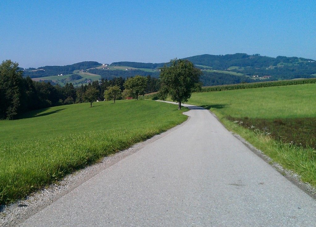

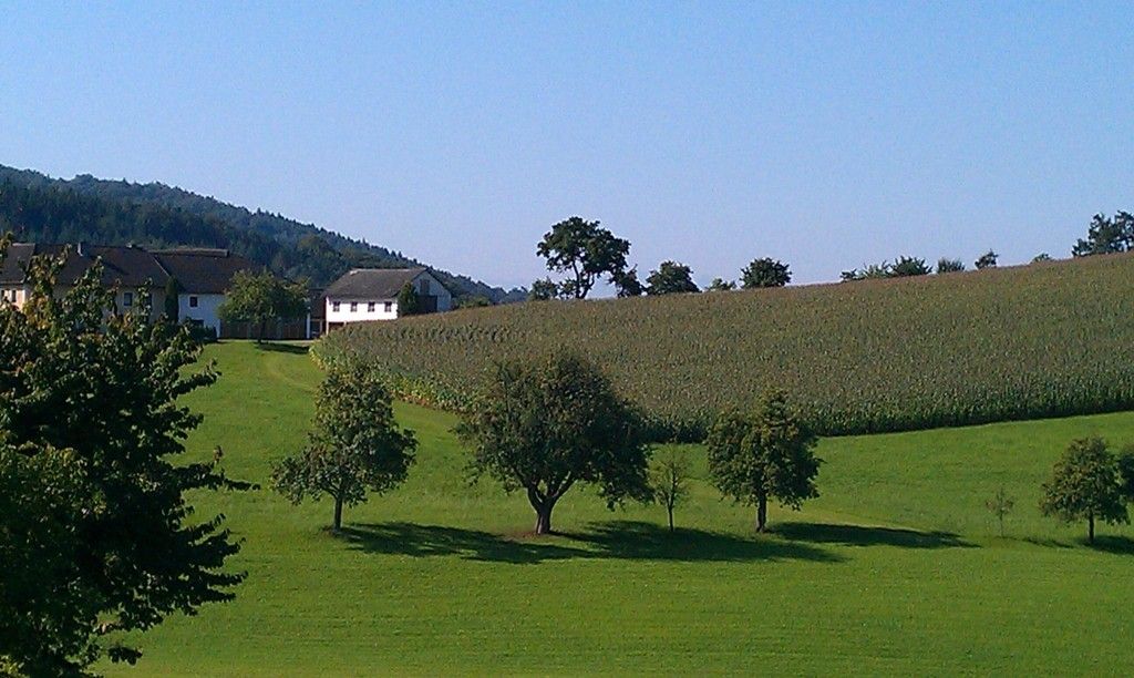
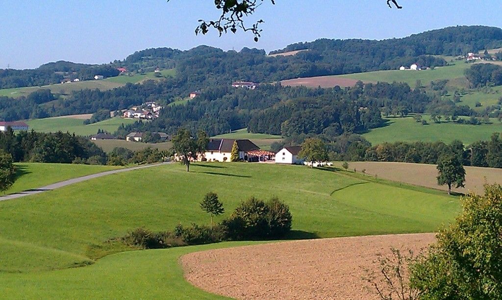
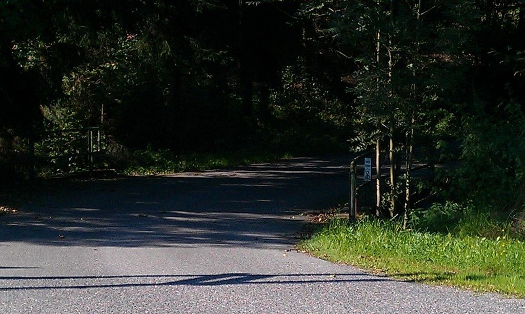
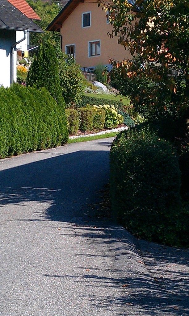

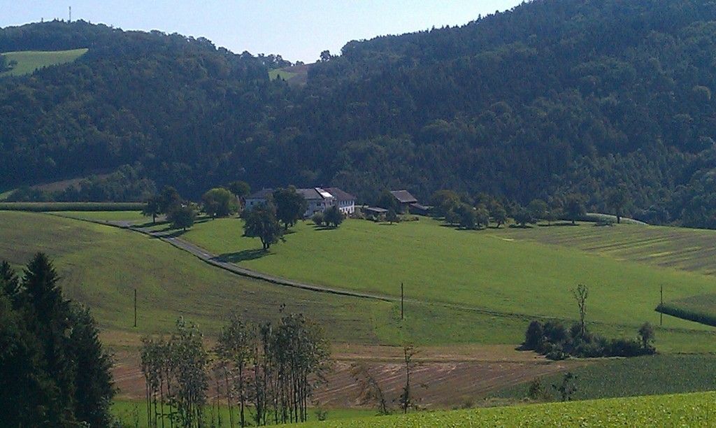

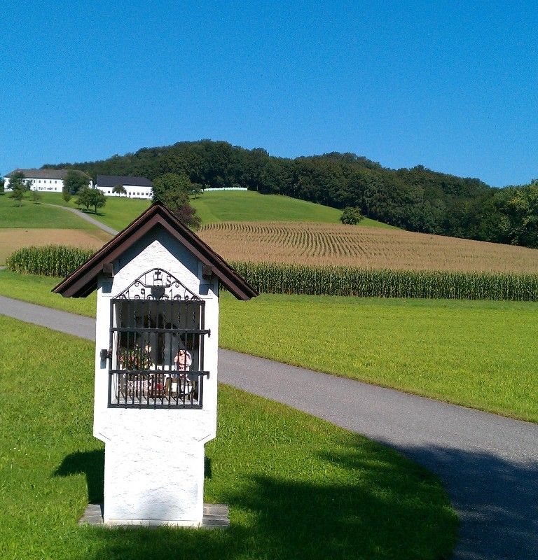

Steyregg nach Plesching (See) entlang der Donau - Alte Gallneukirchner Strasse - Haid
Steyregg, Haid, Katsdorf, Abwinden
Mit Zug/Rad/Auto

Webové kamery z prohlídky
-
Golfclub Luftenberg
-
hello yellow Pumptrack/Velodrom
-
Pleschinger See
-
Pichlinger See
-
hello yellow Pumptrack/Velodrom
-
hello yellow Pumptrack/Velodrom
-
See - Ausee Cable / Hohenlohe Ausee
-
Lift - Ausee / Hohenlohe Ausee
-
Lift - Ausee / Hohenlohe Ausee
-
See - Ausee Cable / Hohenlohe Ausee
-
Linz / Hafen
-
Linz / Hafen

Oblíbené prohlídky v okolí
-
4.4
Wartberg Ob der Aist, Natura Aist Trail Rundwanderung
světloTuristika 8.37 km -
4.7
Prinzensteig Rundweg
světloTuristika 13.7 km -
4.4
Linz: City Hiking Trail Pöstlingberg
středníTuristika 7.71 km -
4.7
Steyregg Donau-Höhen-Rundwanderweg Pulgarn - Hohenstein (und zurück)
světloTuristika 7 km -
4.7
Unterweitersdorfer Sagenweg
světloTuristika 5.87 km -
4.7
Steyregg Pfenningberg-Gipfelwanderweg
středníTuristika 4 km -
4.6
Bleicherbachrunde
světloTuristika 9.06 km -
4.8
Wilson Holz-Route von Steyregg auf den Pfenningberg
světloTuristika 9.07 km -
4.3
Ottensheim: Danube Panorama Route
středníTuristika 8.14 km -
5.0
Steyregg AV 50 Plesching - GH Daxleitner
světloTuristika 4 km
Pěší turistika a stopování


Nenechte si ujít nabídky a inspiraci pro vaši příští dovolenou
Vaše e-mailová adresa byl přidán do poštovního seznamu.





