


East shore cycle path at Lake Hallstatt
Fotografie našich uživatelů
 © Robert8992Vytvořeno dne 29.10.2025
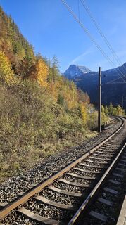 © Robert8992Vytvořeno dne 29.10.2025
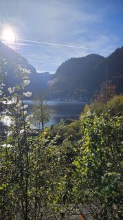 © Robert8992Vytvořeno dne 29.10.2025
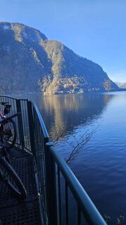 © Robert8992Vytvořeno dne 29.10.2025
 © Robert8992Vytvořeno dne 29.10.2025
 © Robert8992Vytvořeno dne 29.10.2025
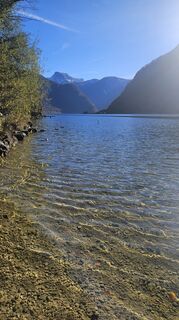 © Robert8992Vytvořeno dne 29.10.2025
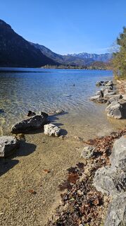 © Robert8992Vytvořeno dne 29.10.2025
 © Michael M.Vytvořeno dne 12.10.2025
 © Michael M.Vytvořeno dne 12.10.2025
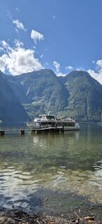
 © Hari SchrittwieserVytvořeno dne 11.09.2025
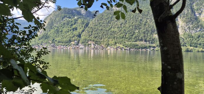 © Hari SchrittwieserVytvořeno dne 11.09.2025
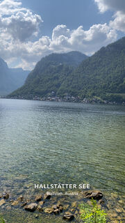
 © Luis NeusslVytvořeno dne 15.08.2025
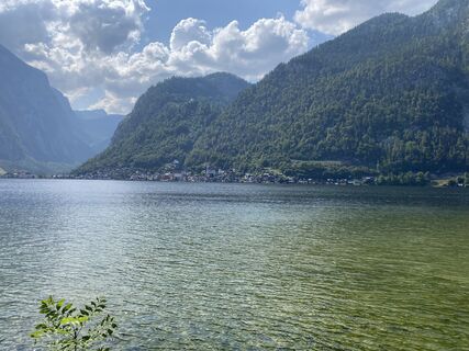 © Luis NeusslVytvořeno dne 15.08.2025
 © Luis NeusslVytvořeno dne 15.08.2025
 © Petra silbersbergerVytvořeno dne 14.08.2025
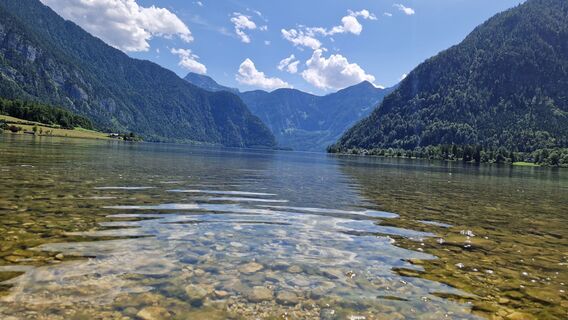
 © Utassy Tóth JohannaVytvořeno dne 20.07.2025
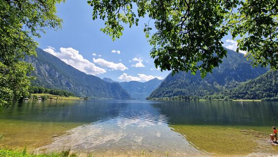 © Utassy Tóth JohannaVytvořeno dne 20.07.2025
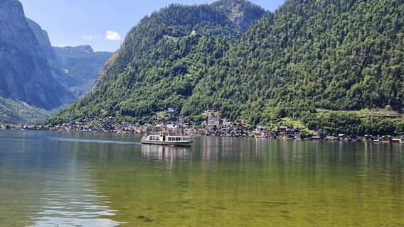 © Utassy Tóth JohannaVytvořeno dne 20.07.2025
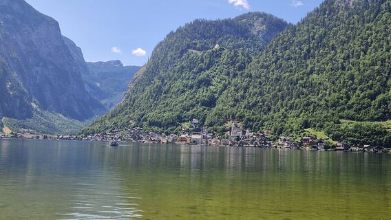 © Utassy Tóth JohannaVytvořeno dne 20.07.2025
 © Petr Kučera 4Vytvořeno dne 14.07.2025
 © Christiane NoebauerVytvořeno dne 13.07.2025
 © Johann HolzingerVytvořeno dne 13.06.2025
 © Johann HolzingerVytvořeno dne 13.06.2025
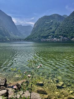 © Johann HolzingerVytvořeno dne 13.06.2025
 © David HinczizaVytvořeno dne 11.06.2025
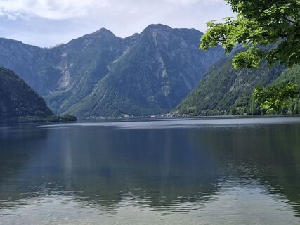 © gatholaVytvořeno dne 04.06.2025
 © WilliStVytvořeno dne 11.05.2025
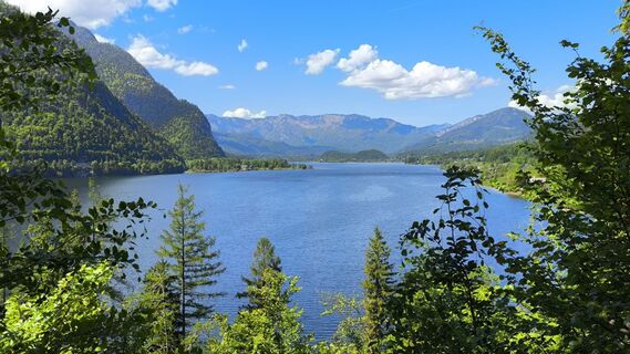 © WilliStVytvořeno dne 11.05.2025
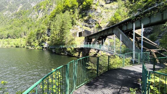 © WilliStVytvořeno dne 11.05.2025
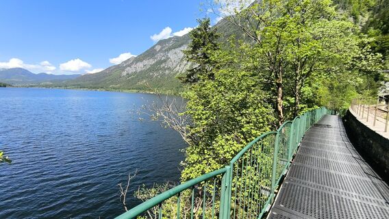 © WilliStVytvořeno dne 11.05.2025
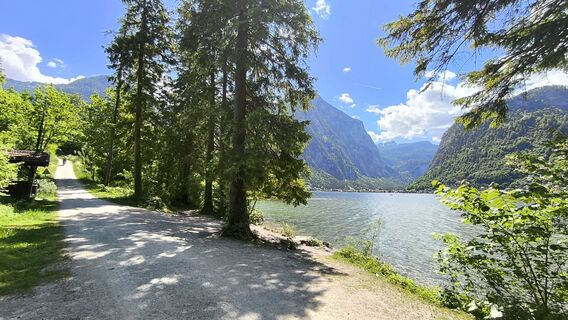 © WilliStVytvořeno dne 11.05.2025
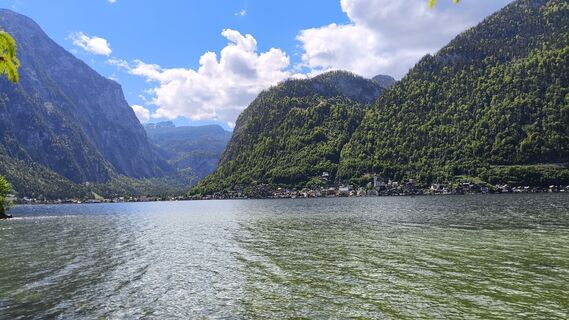 © WilliStVytvořeno dne 11.05.2025
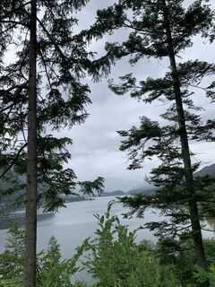
 © Michael KoglerVytvořeno dne 30.05.2024
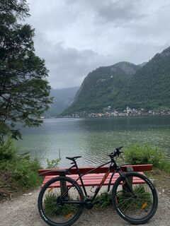 © Michael KoglerVytvořeno dne 30.05.2024
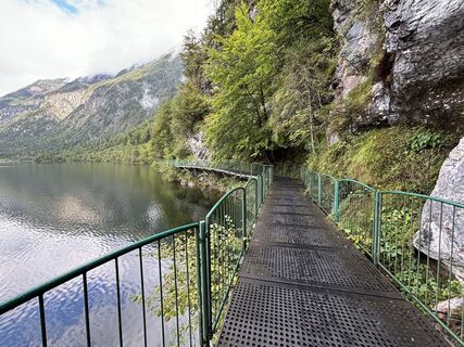
 © Andy CagranoVytvořeno dne 10.09.2024
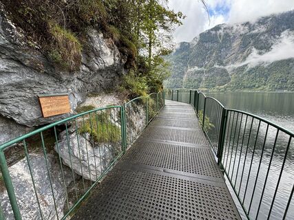 © Andy CagranoVytvořeno dne 10.09.2024
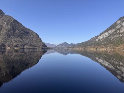
 © amaerziVytvořeno dne 07.03.2026
 © StronskyVytvořeno dne 09.02.2026
 © StronskyVytvořeno dne 09.02.2026
 © StronskyVytvořeno dne 09.02.2026
 © StronskyVytvořeno dne 09.02.2026
 © StronskyVytvořeno dne 09.02.2026
 © StronskyVytvořeno dne 09.02.2026
 © StronskyVytvořeno dne 09.02.2026
 © Gerhard Hofer 4Vytvořeno dne 08.08.2025
 © Gerhard Hofer 4Vytvořeno dne 08.08.2025
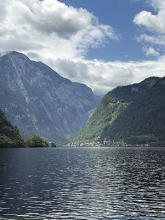
 © Barbara DolivierVytvořeno dne 28.06.2025
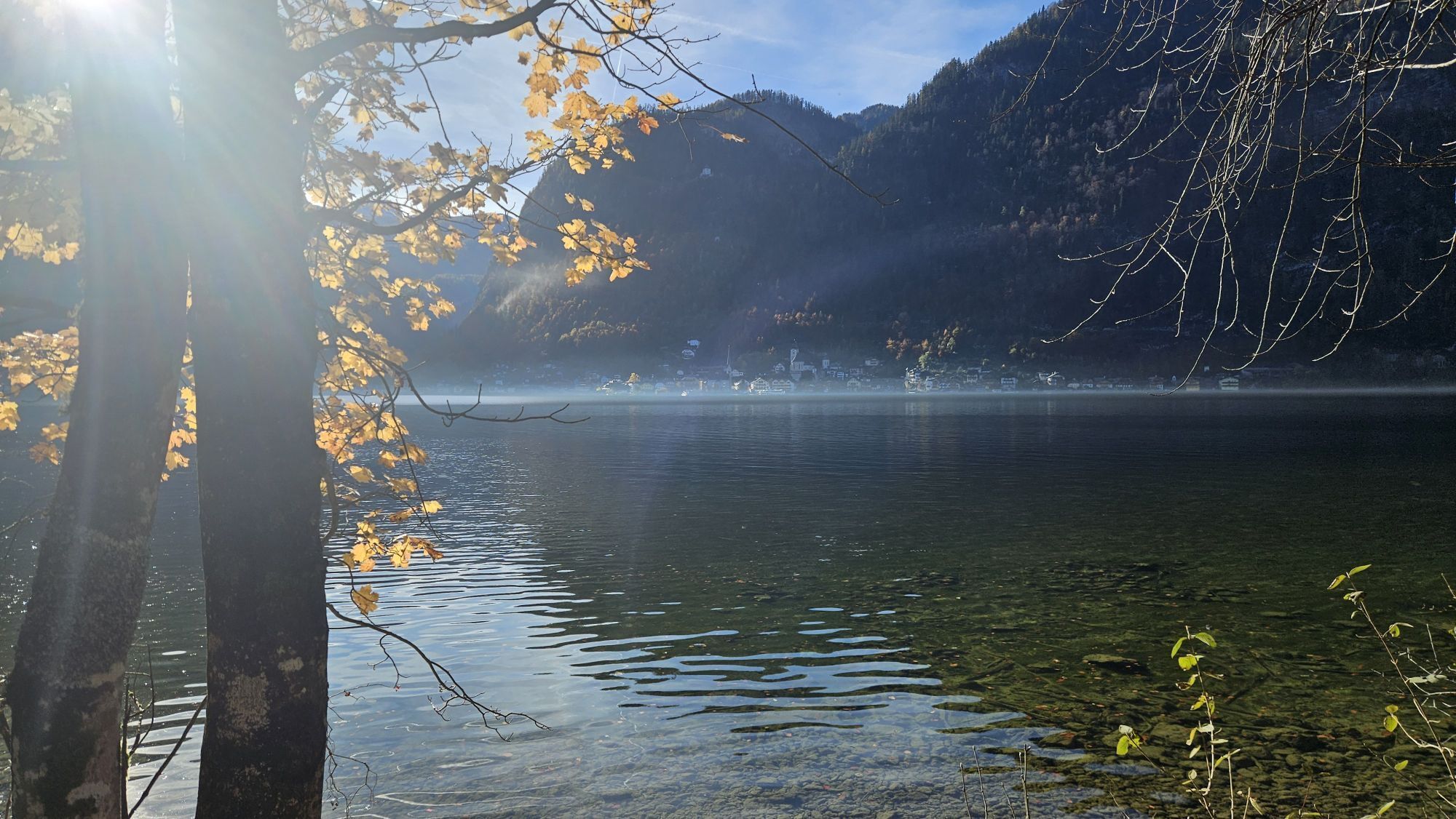


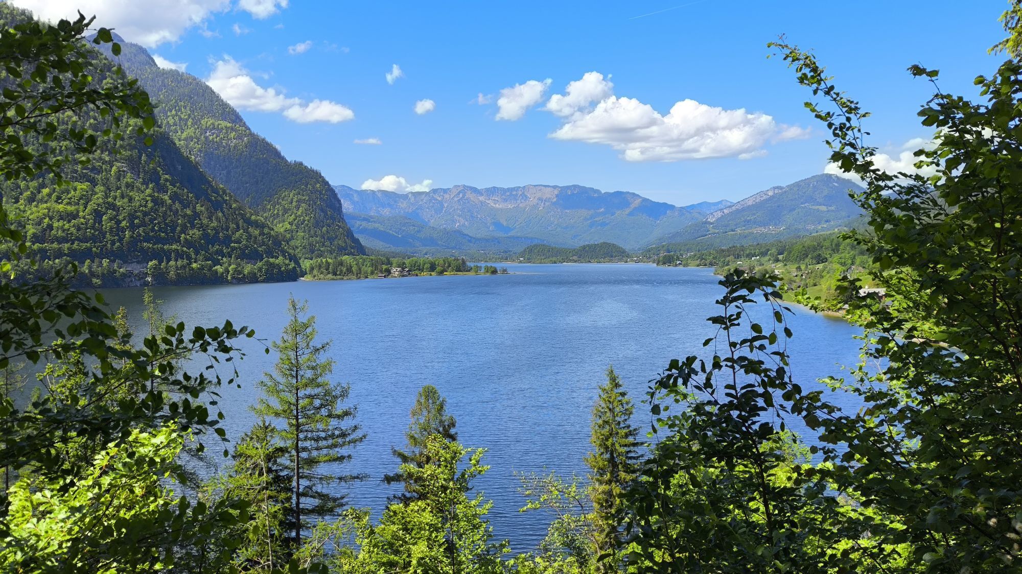


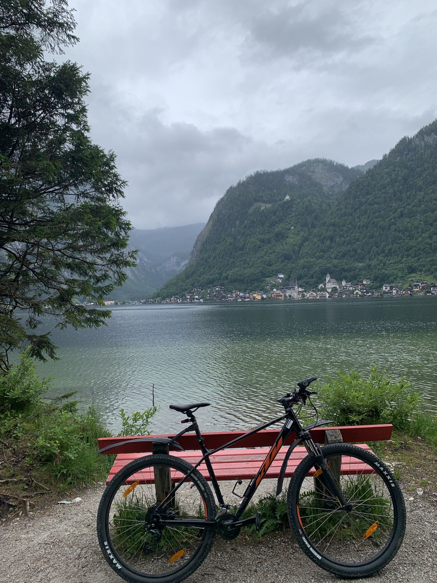


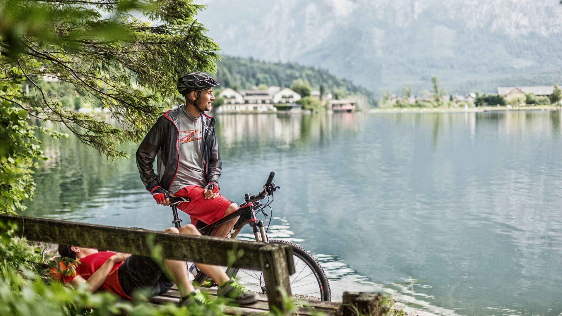
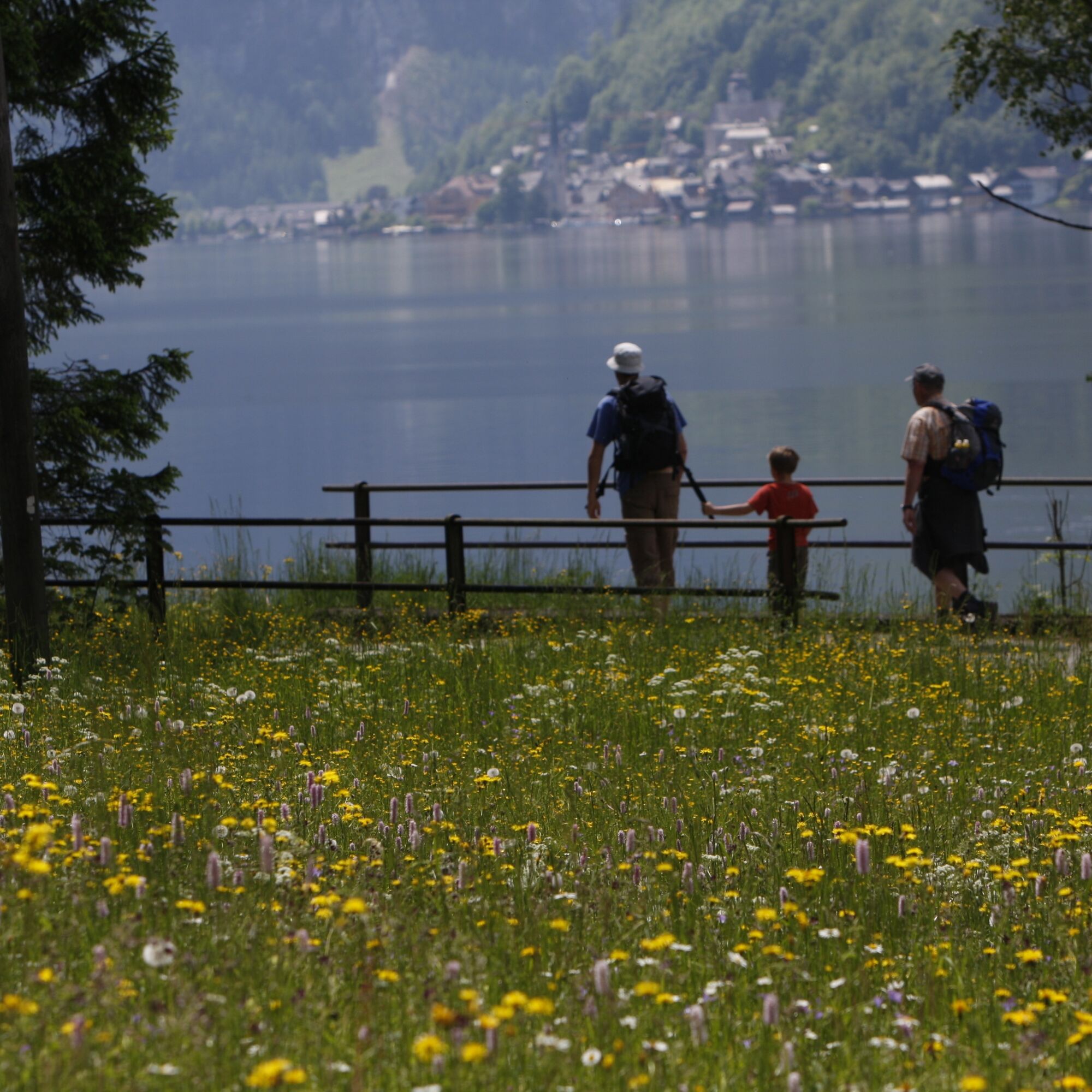
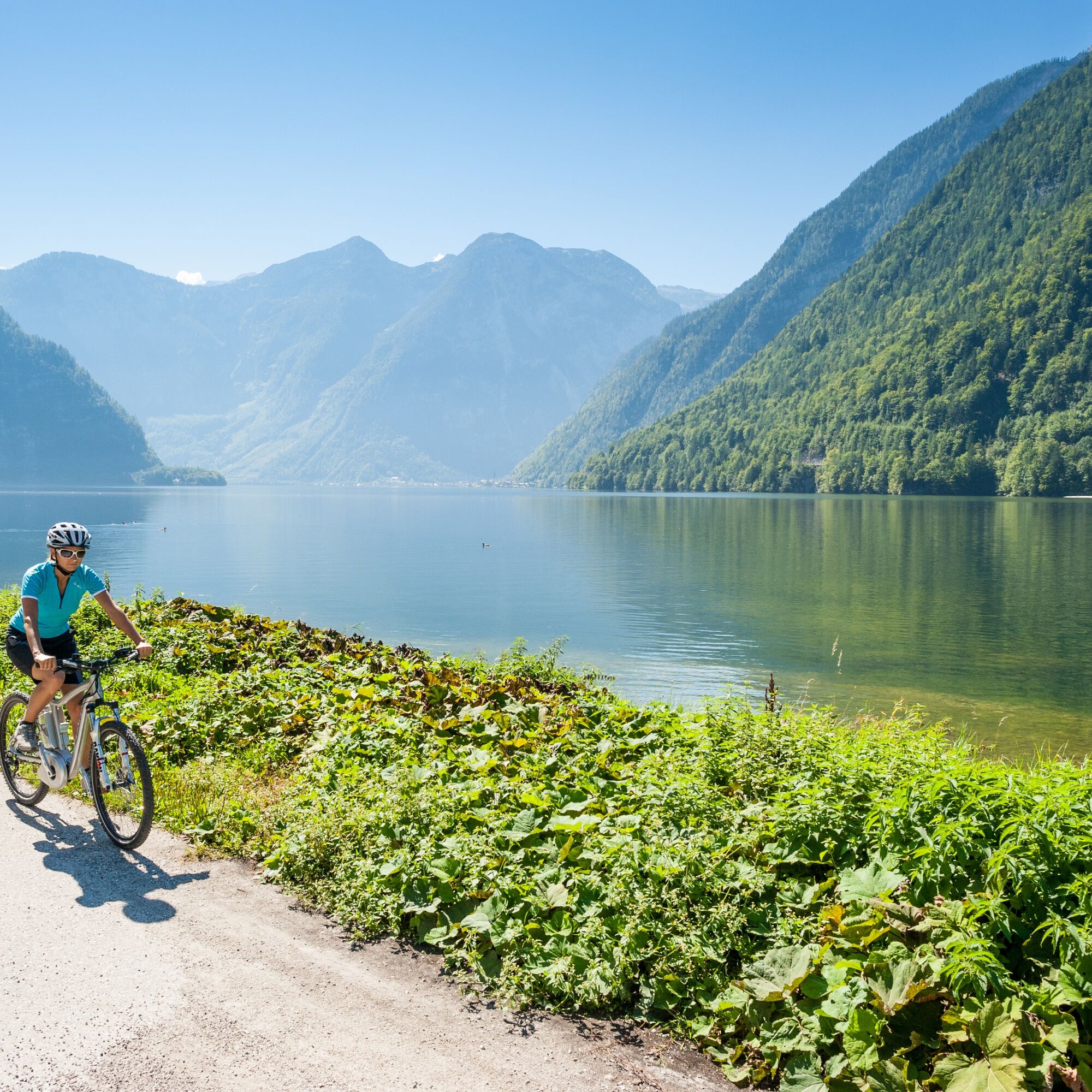
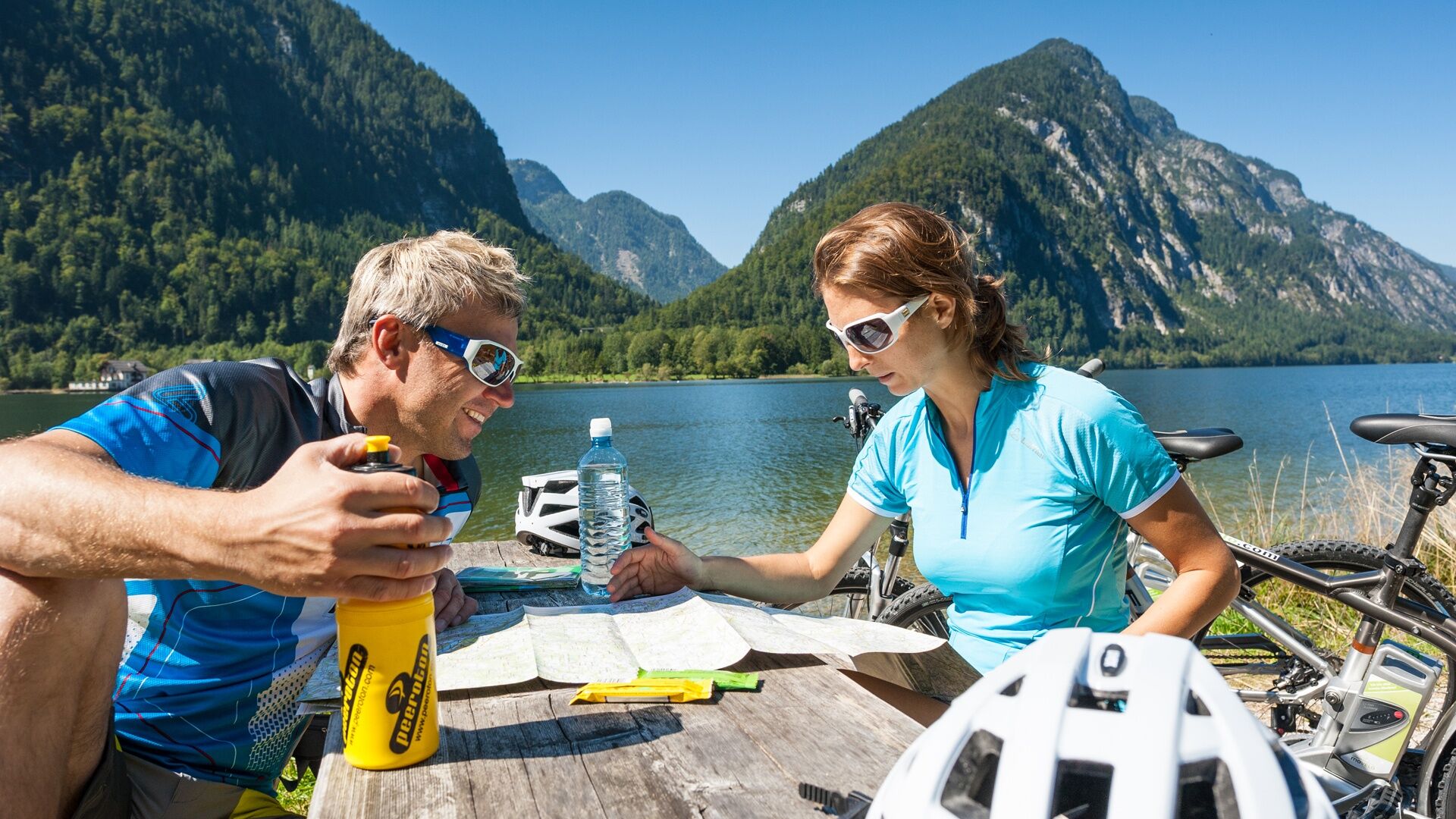
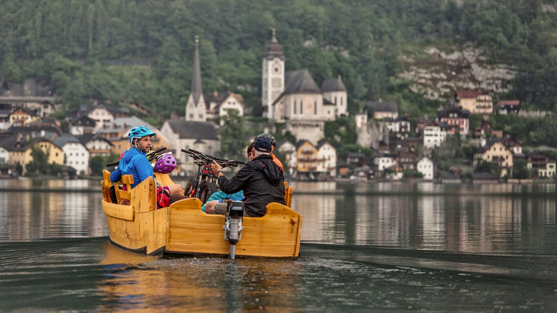
Hiking and cycling along Lake Hallstatt
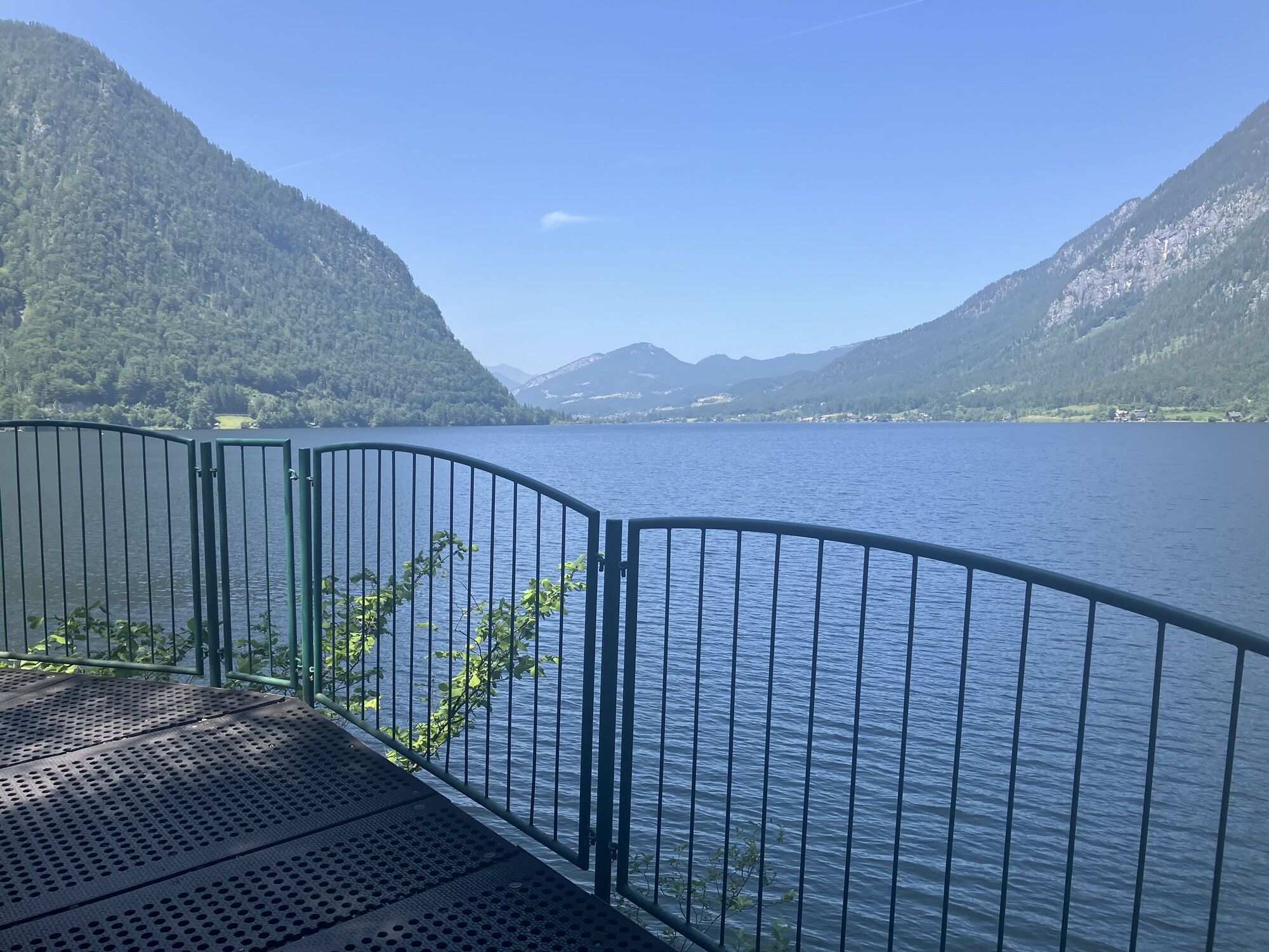
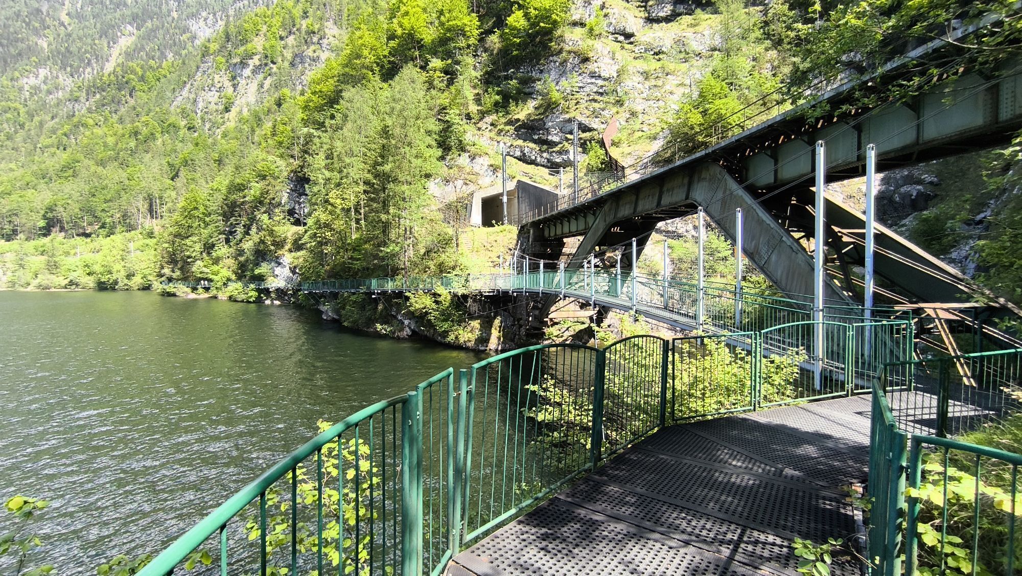
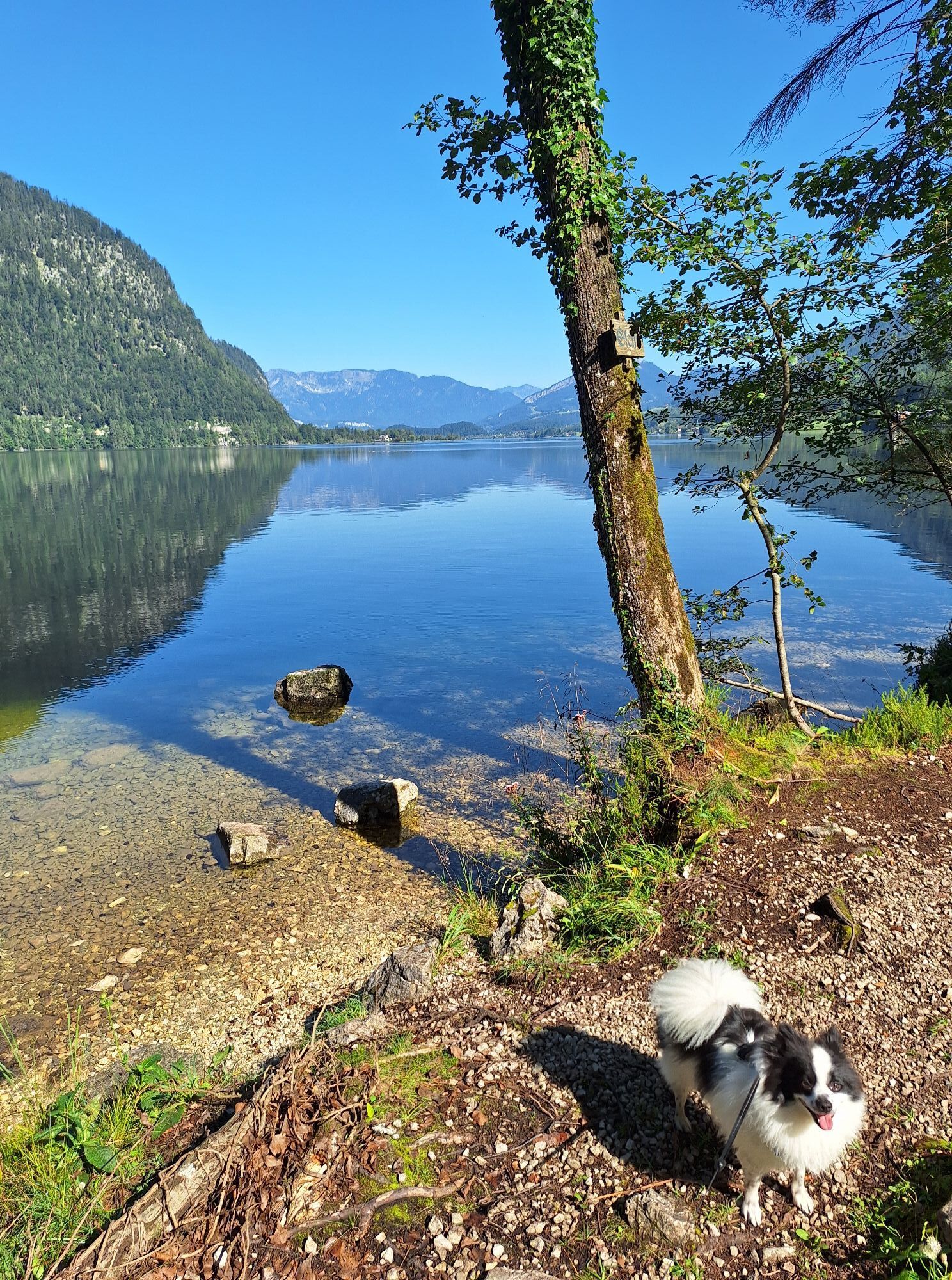
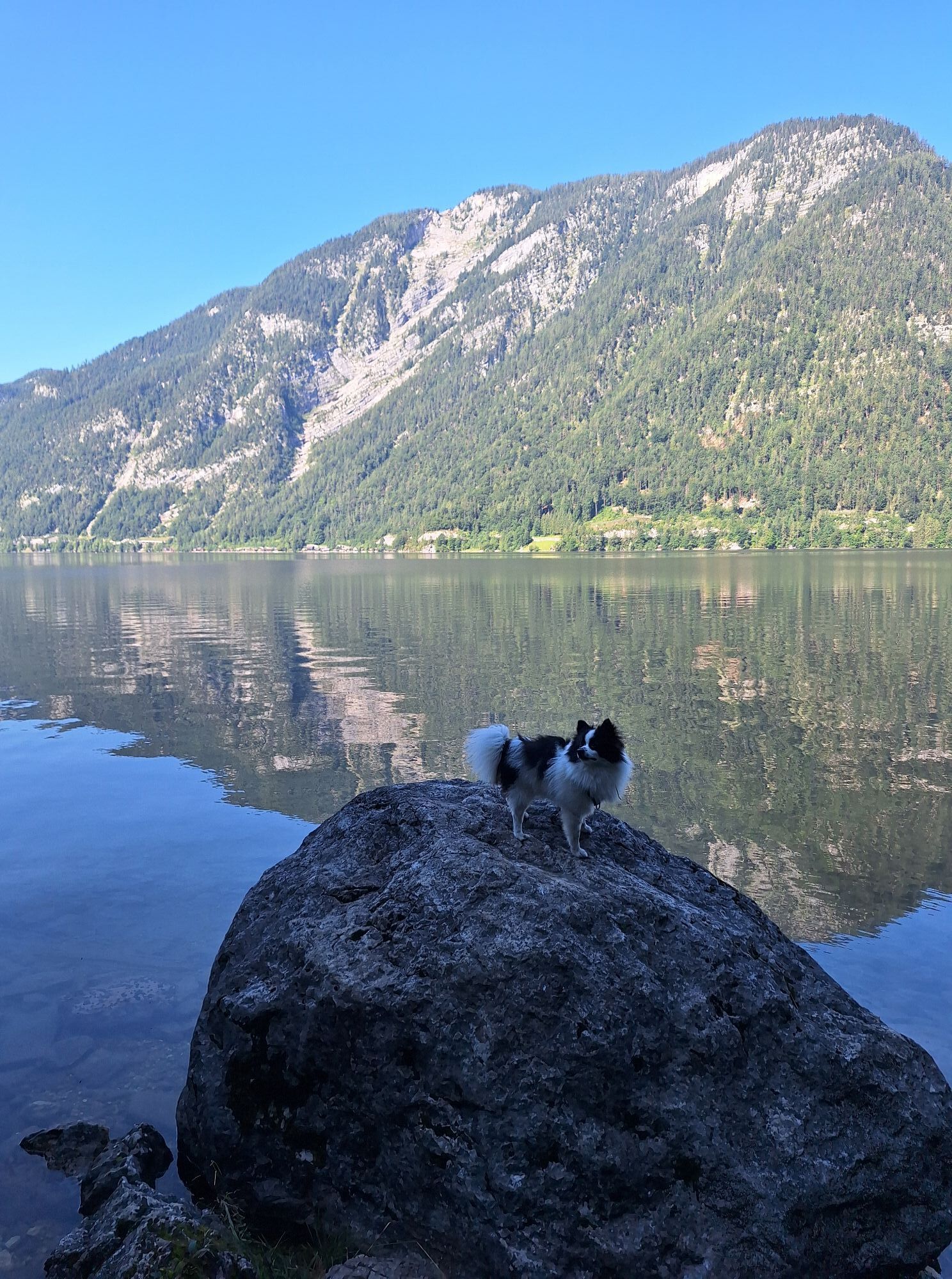
The Ostuferwanderweg is often described as one of the most beautiful cycle hiking trails in the Salzkammergut. One of the special features of this trail is the exciting...
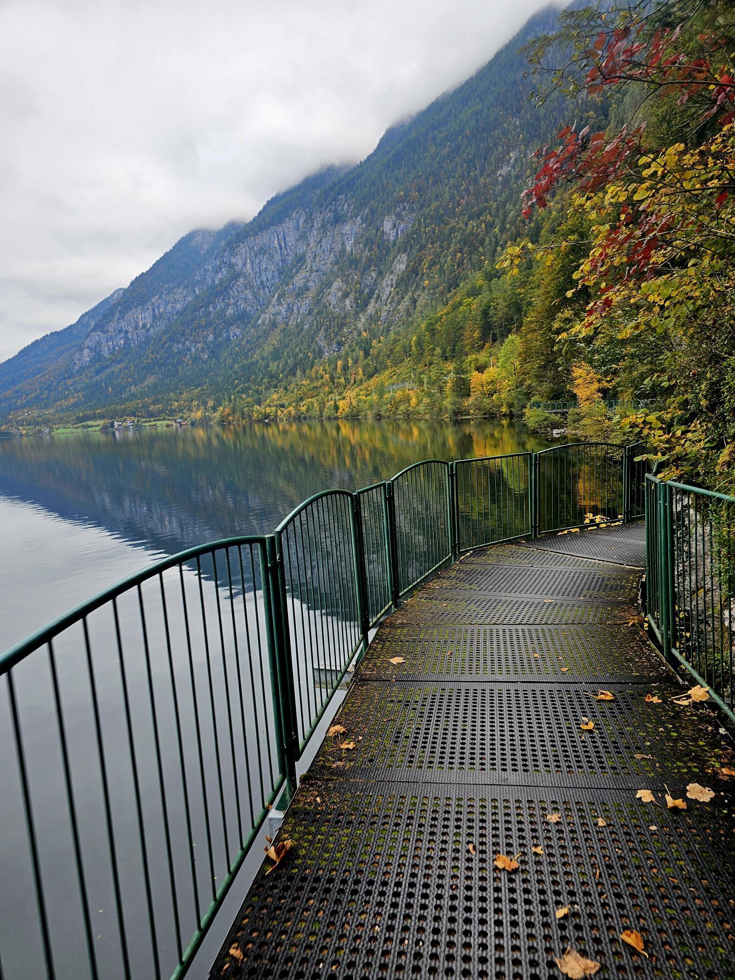
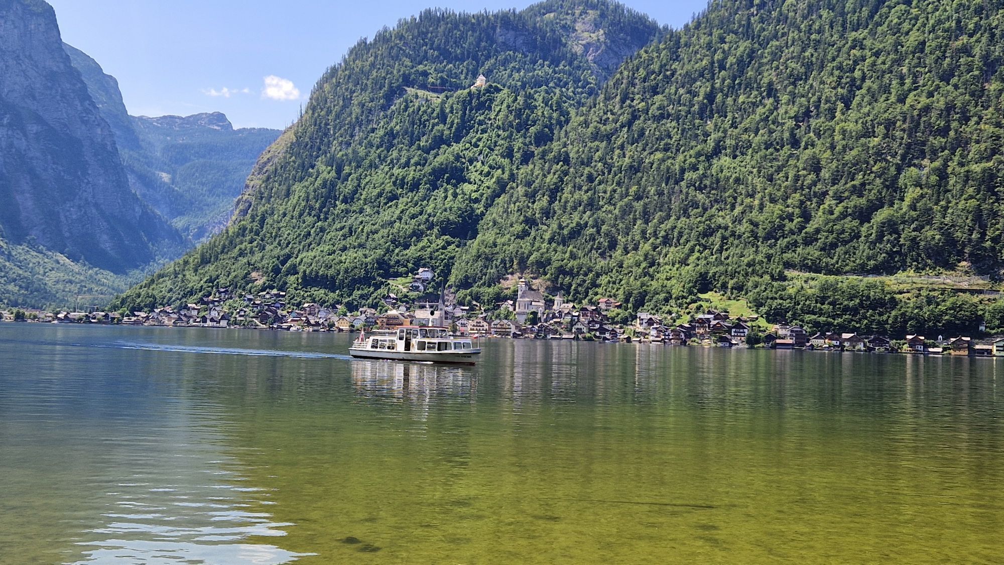
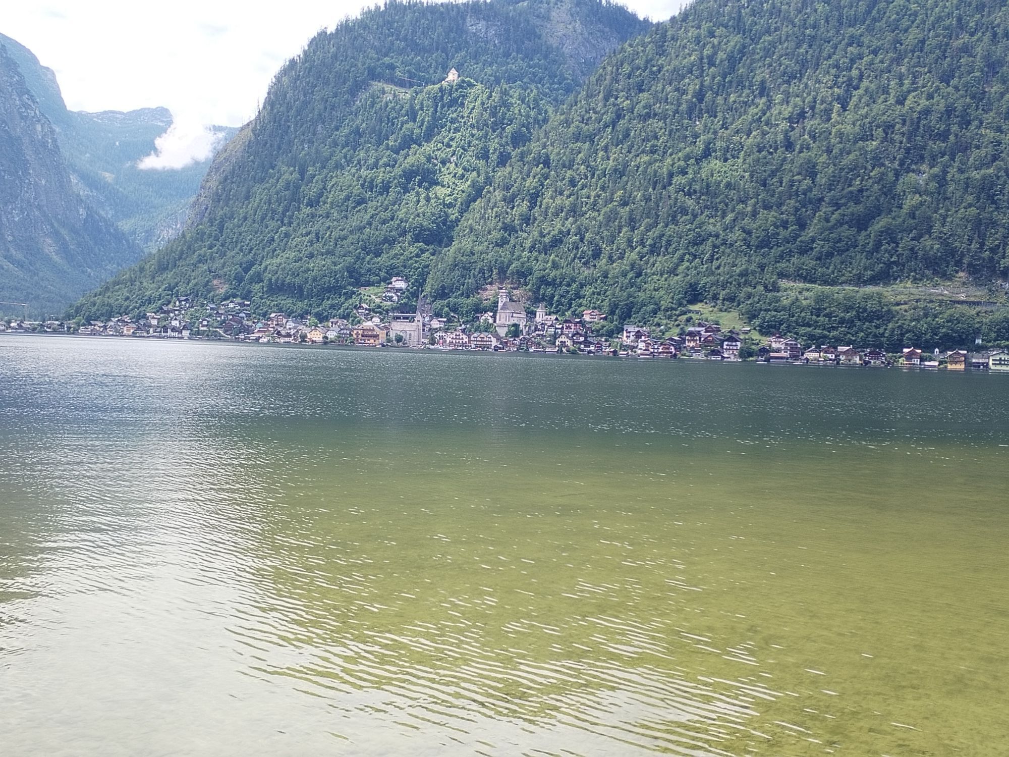
The Ostuferwanderweg is often described as one of the most beautiful cycle hiking trails in the Salzkammergut. One of the special features of this trail is the exciting suspension bridge over one of the deepest parts of Lake Hallstatt. As many hikers also use this route, we expect full consideration from cyclists here. Unfortunately, this is sometimes difficult in the narrower passages. Dismounting is sometimes necessary for the benefit of pedestrians. Those who love variety will also get their money's worth, as the hike can be combined with a short train or boat trip.
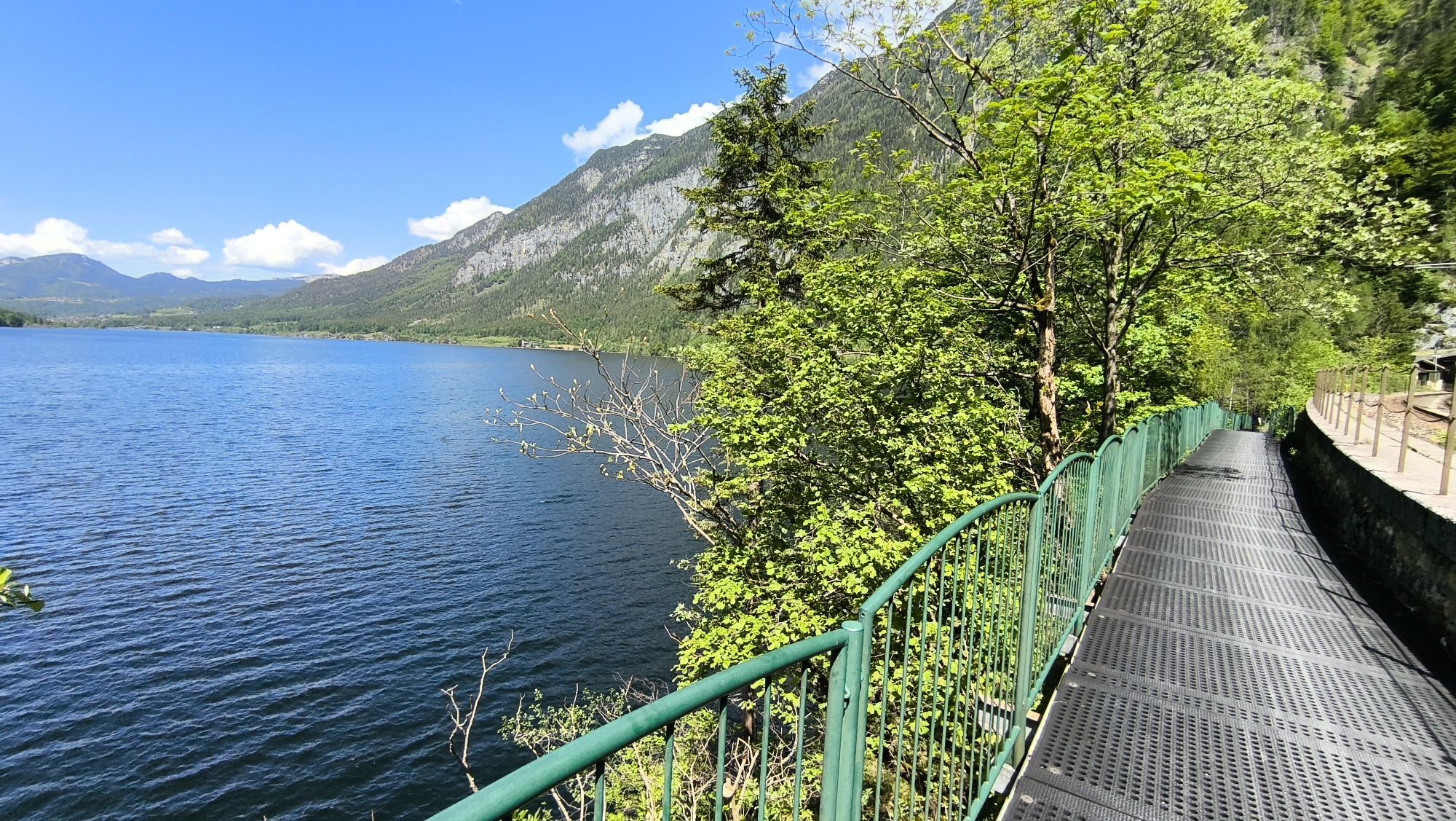
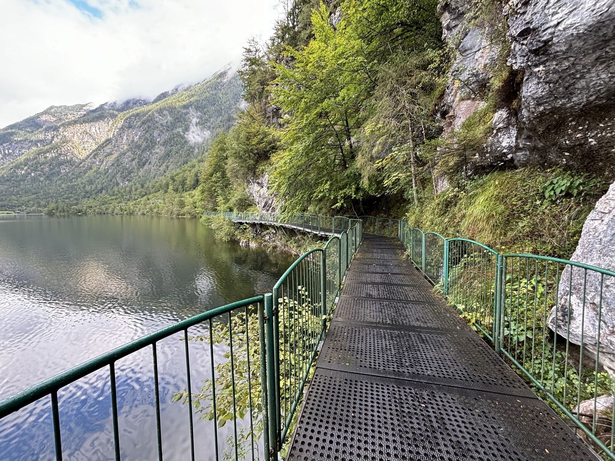
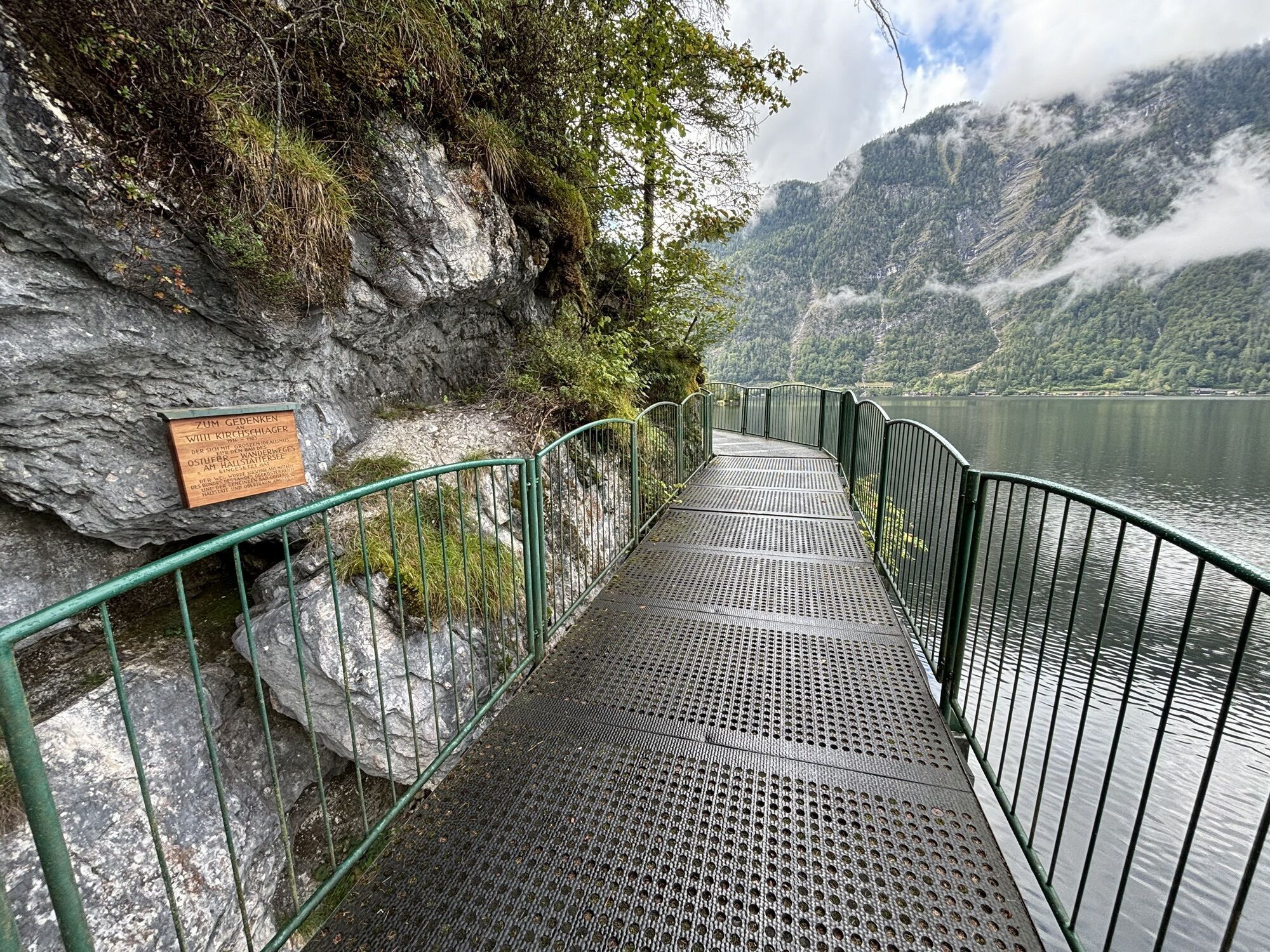
First, hikers and cyclists share the path. After the Uferwirt Seeraunzn the path continues for around two kilometres separately. A short distance before the suspension bridge, the paths merge again.
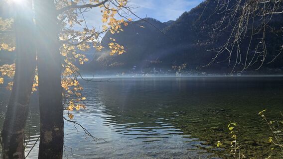
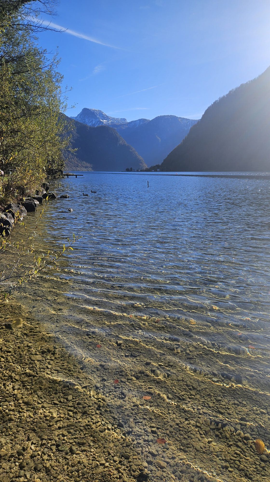
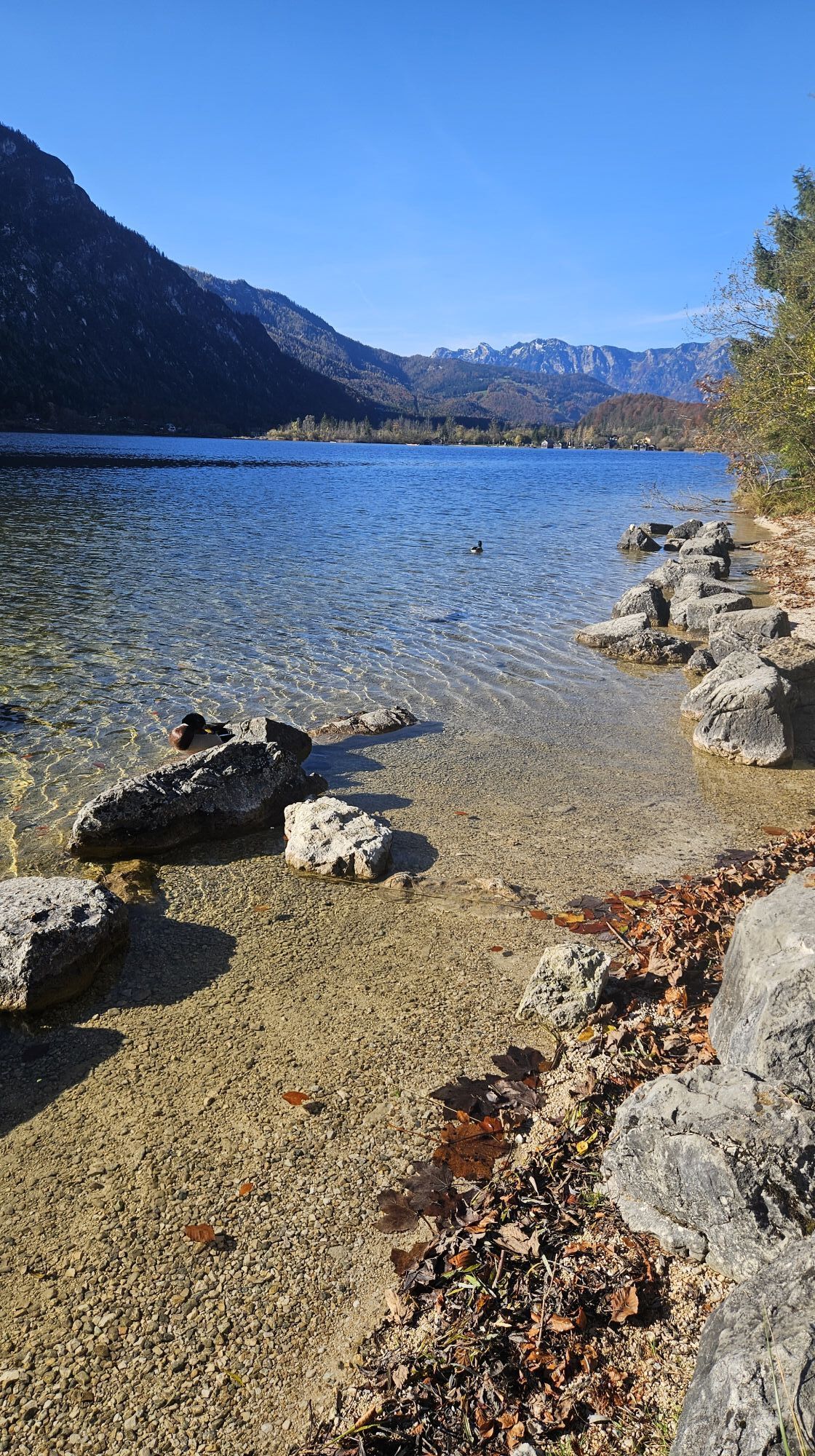
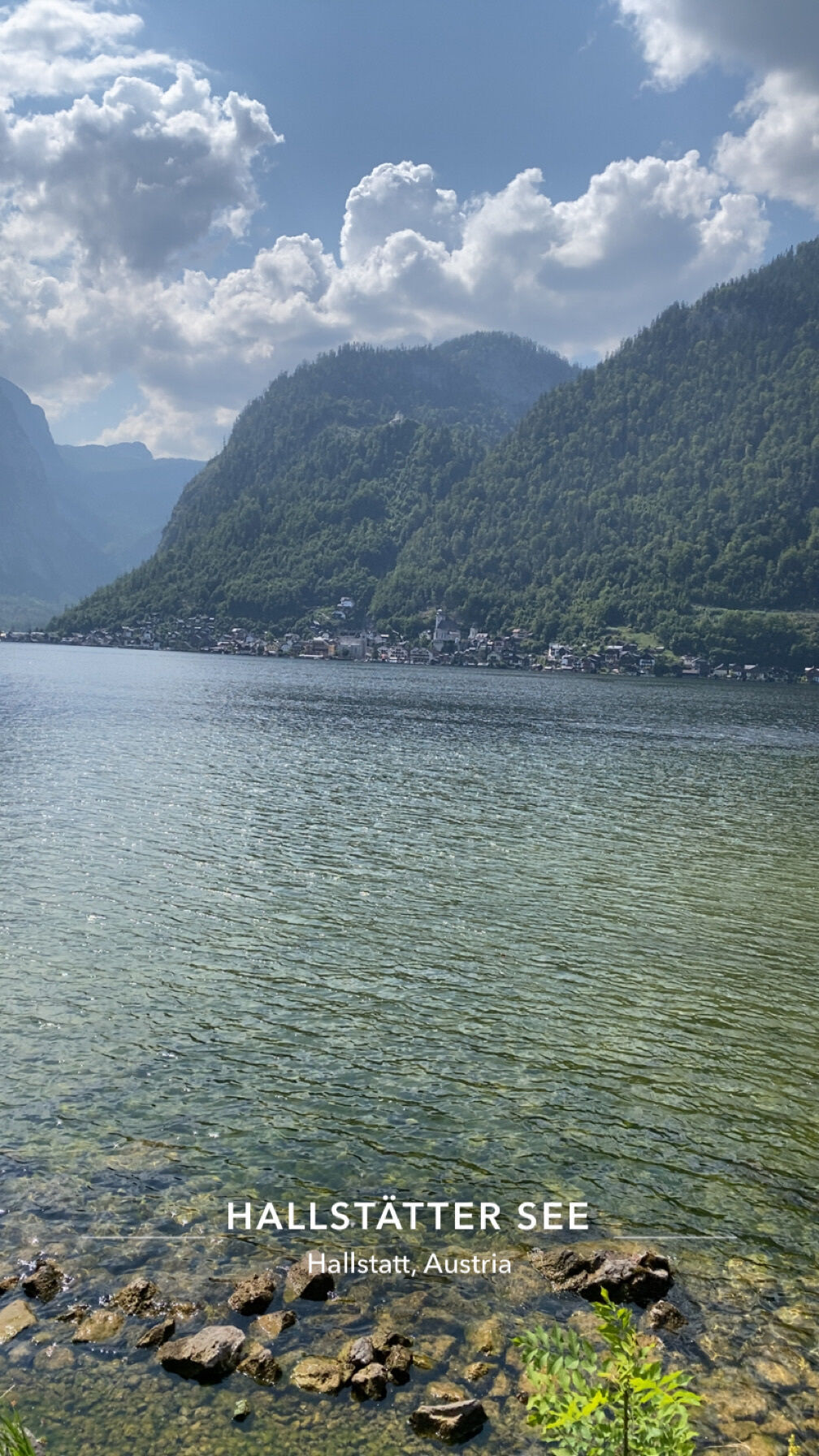
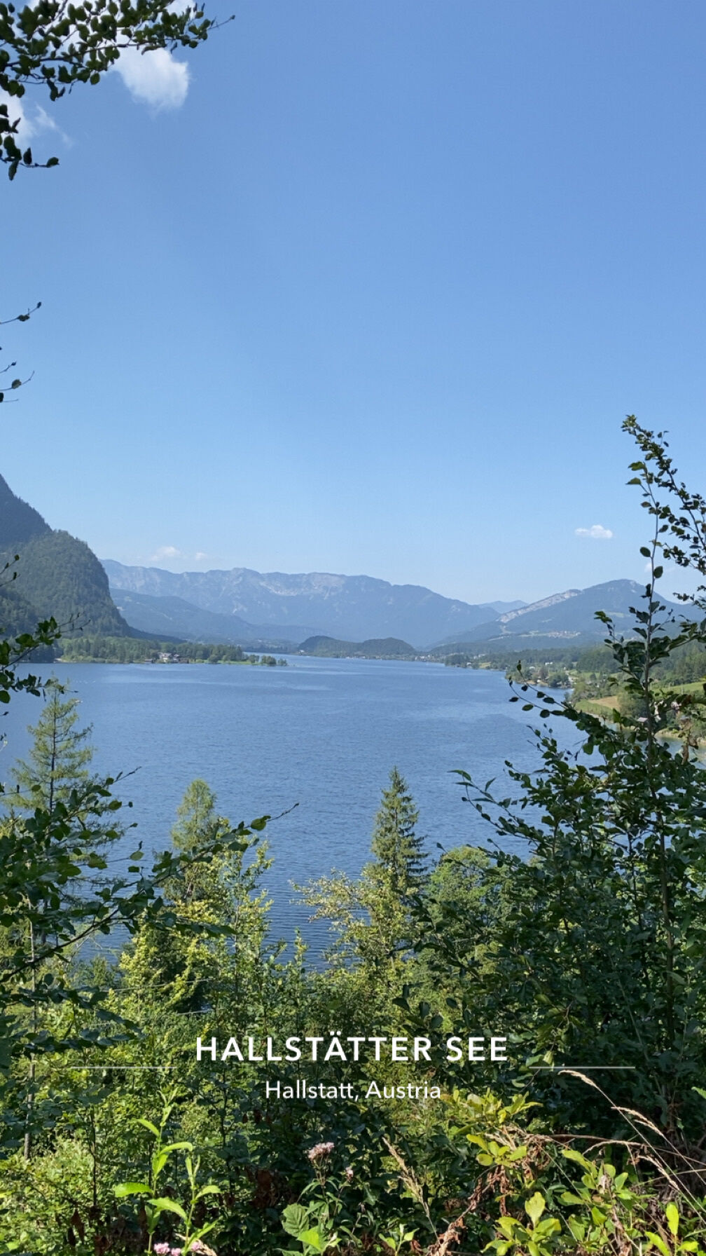
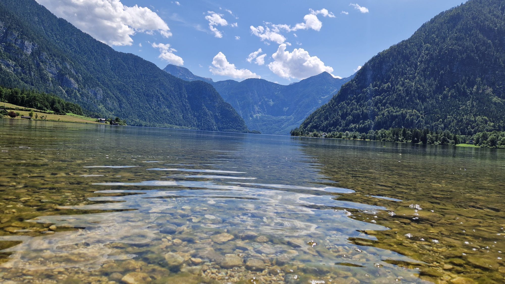
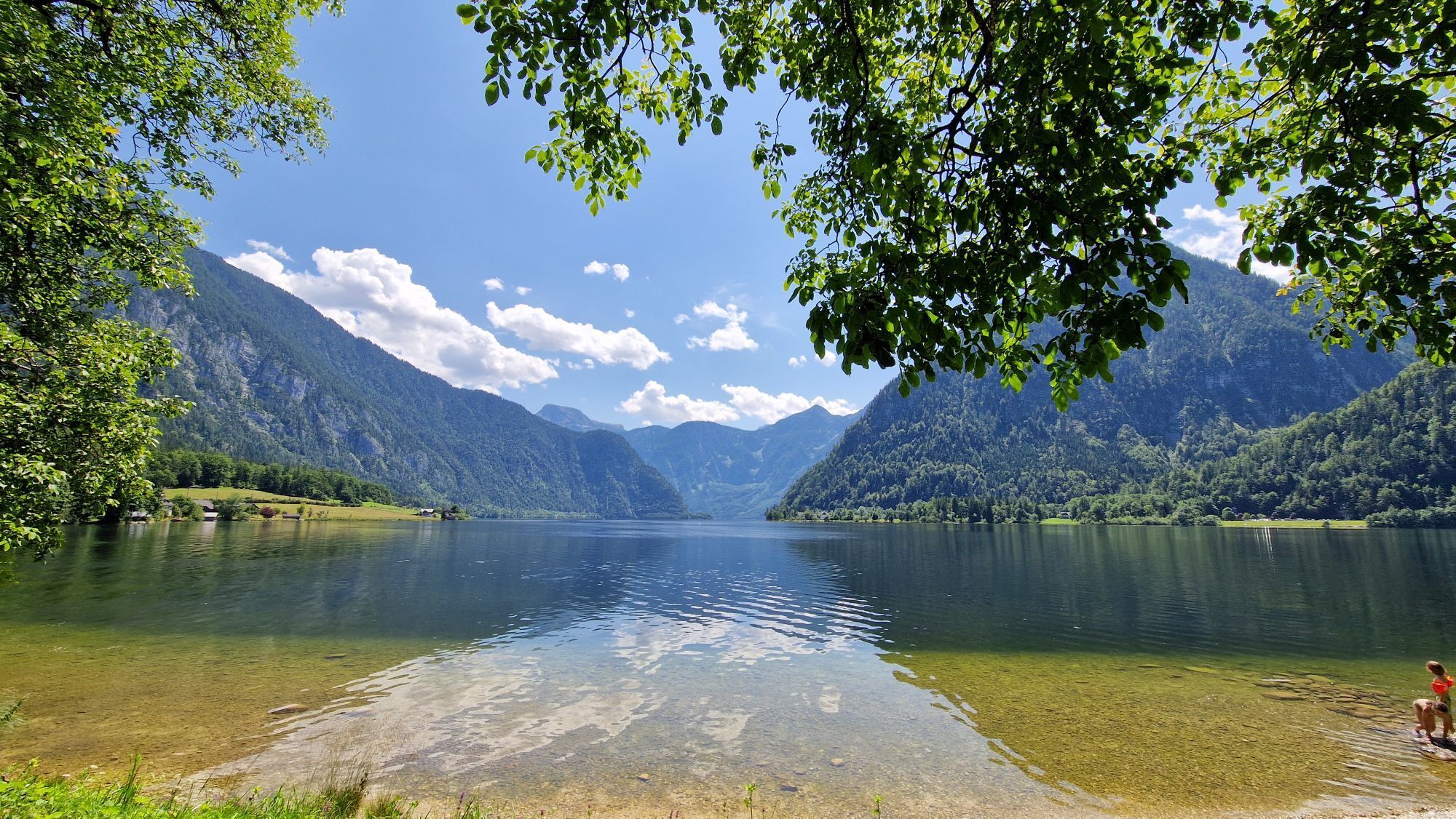
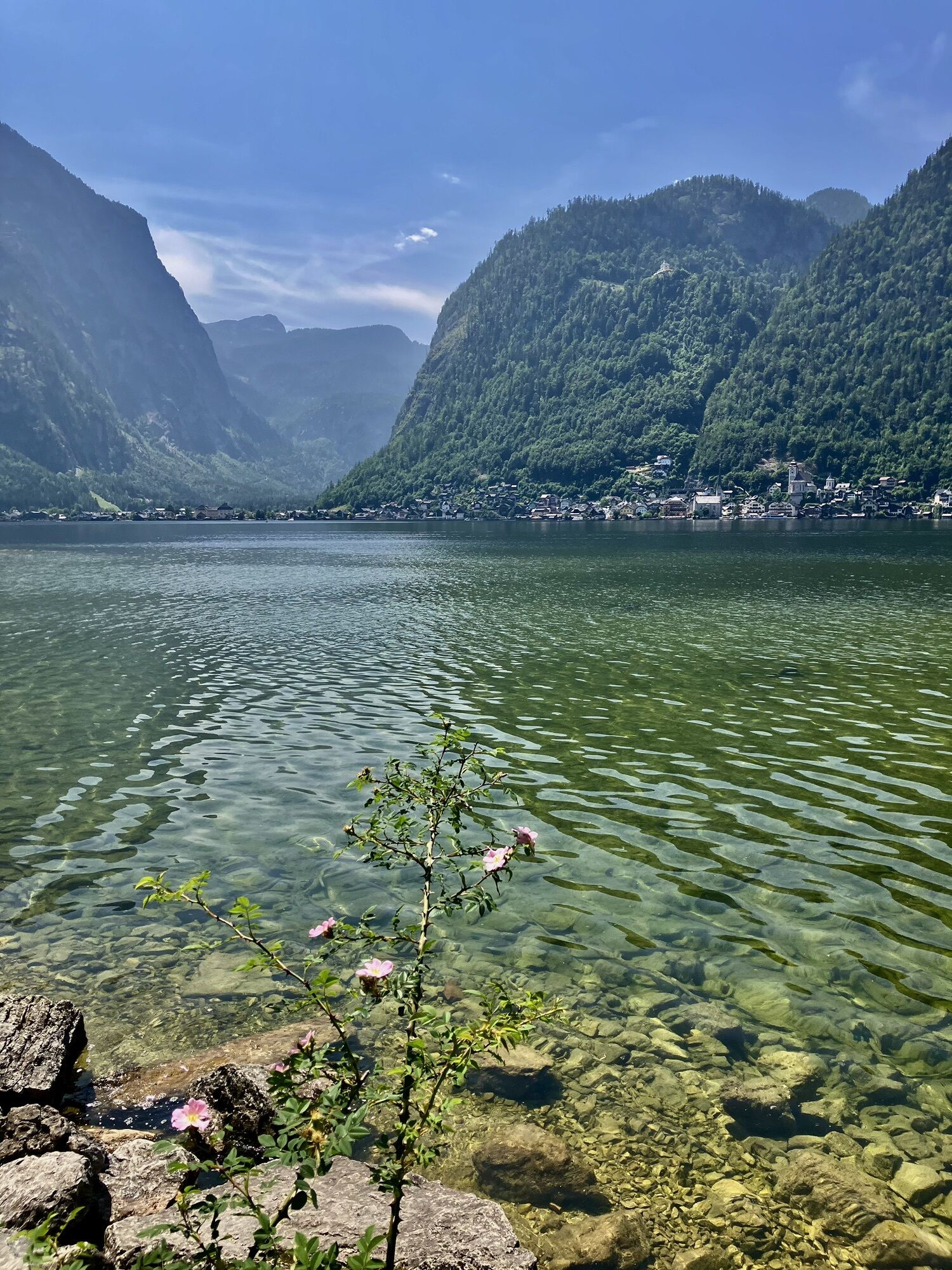
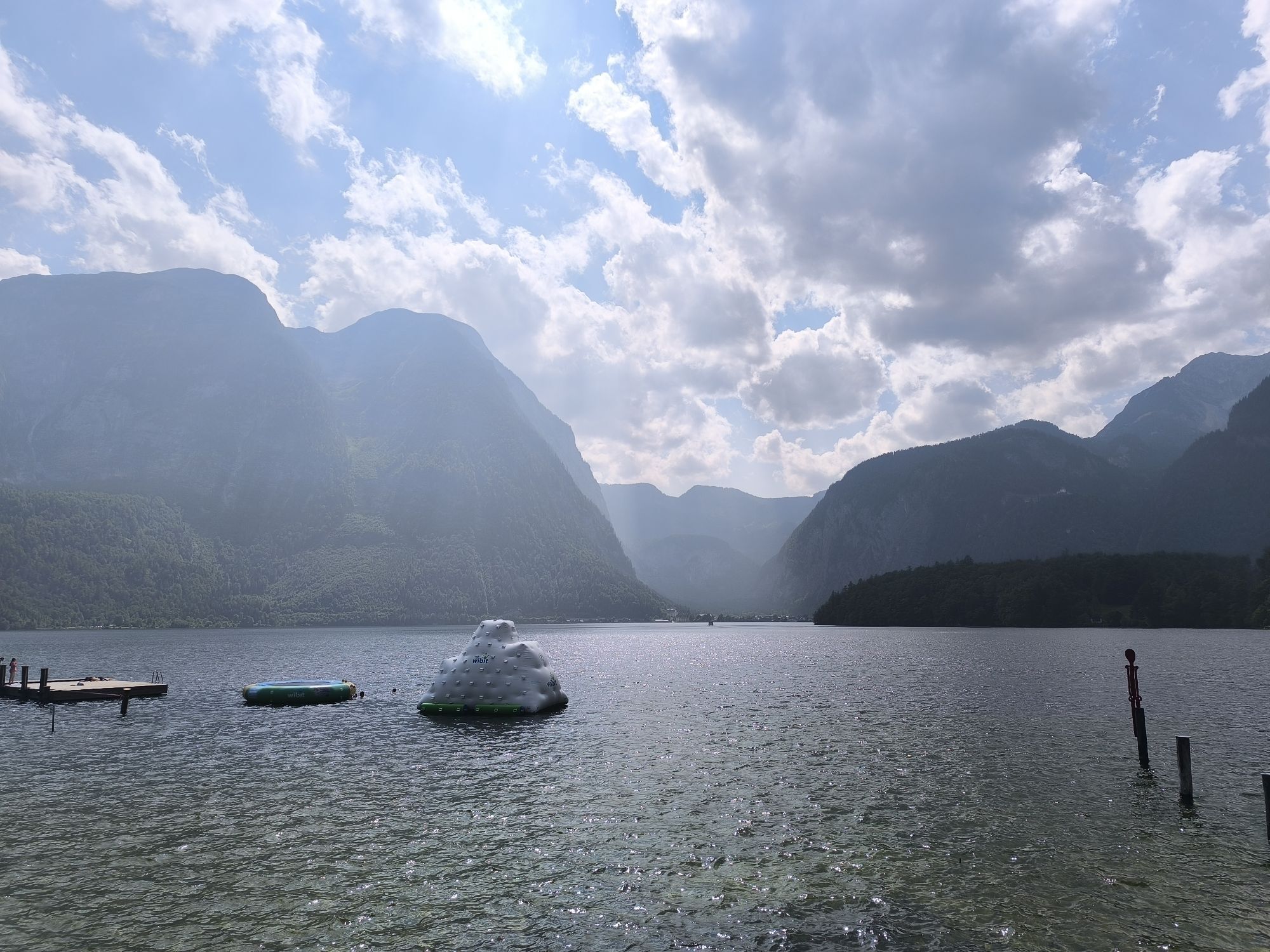
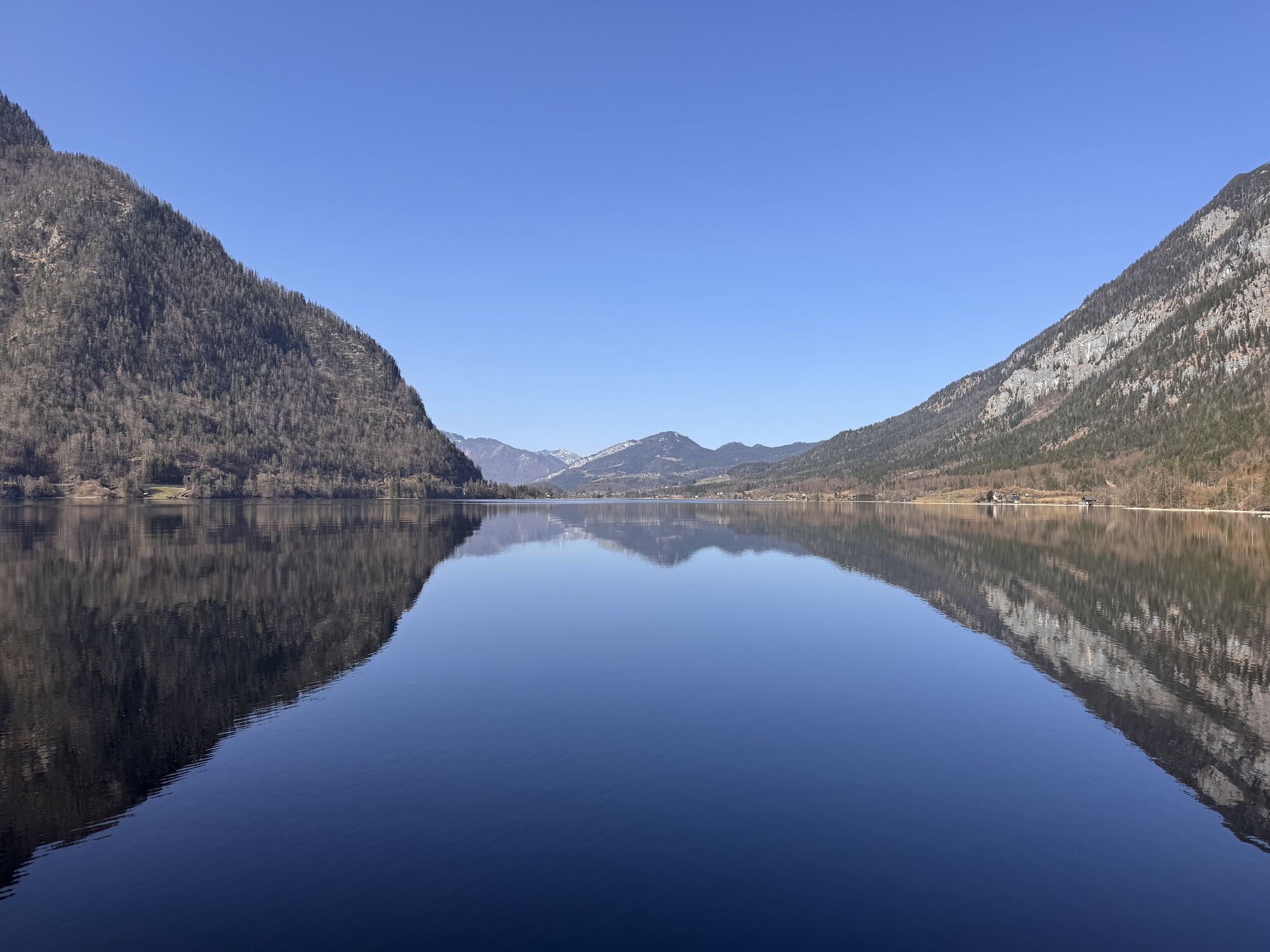
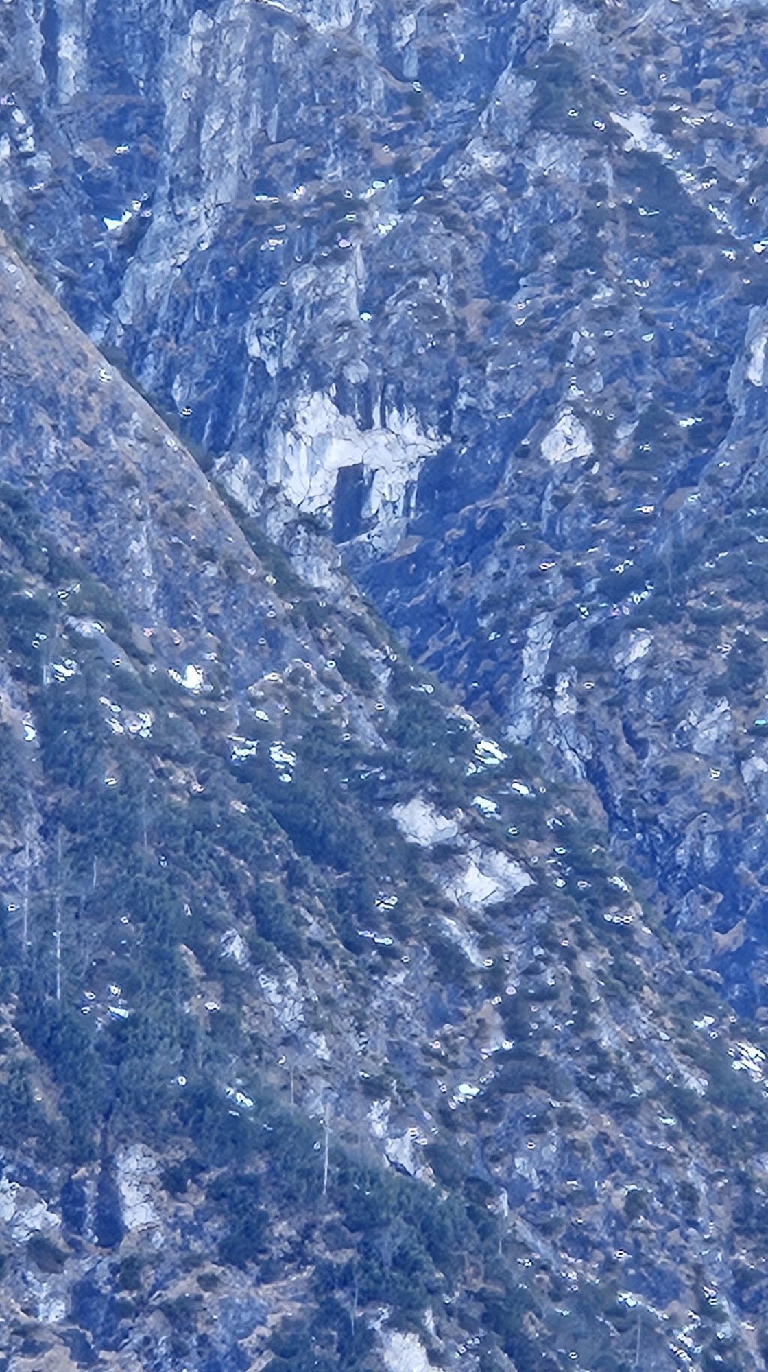
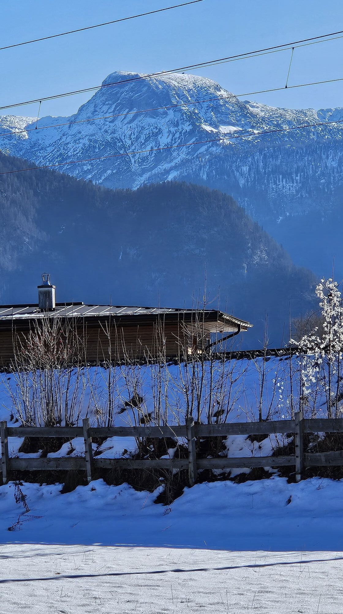
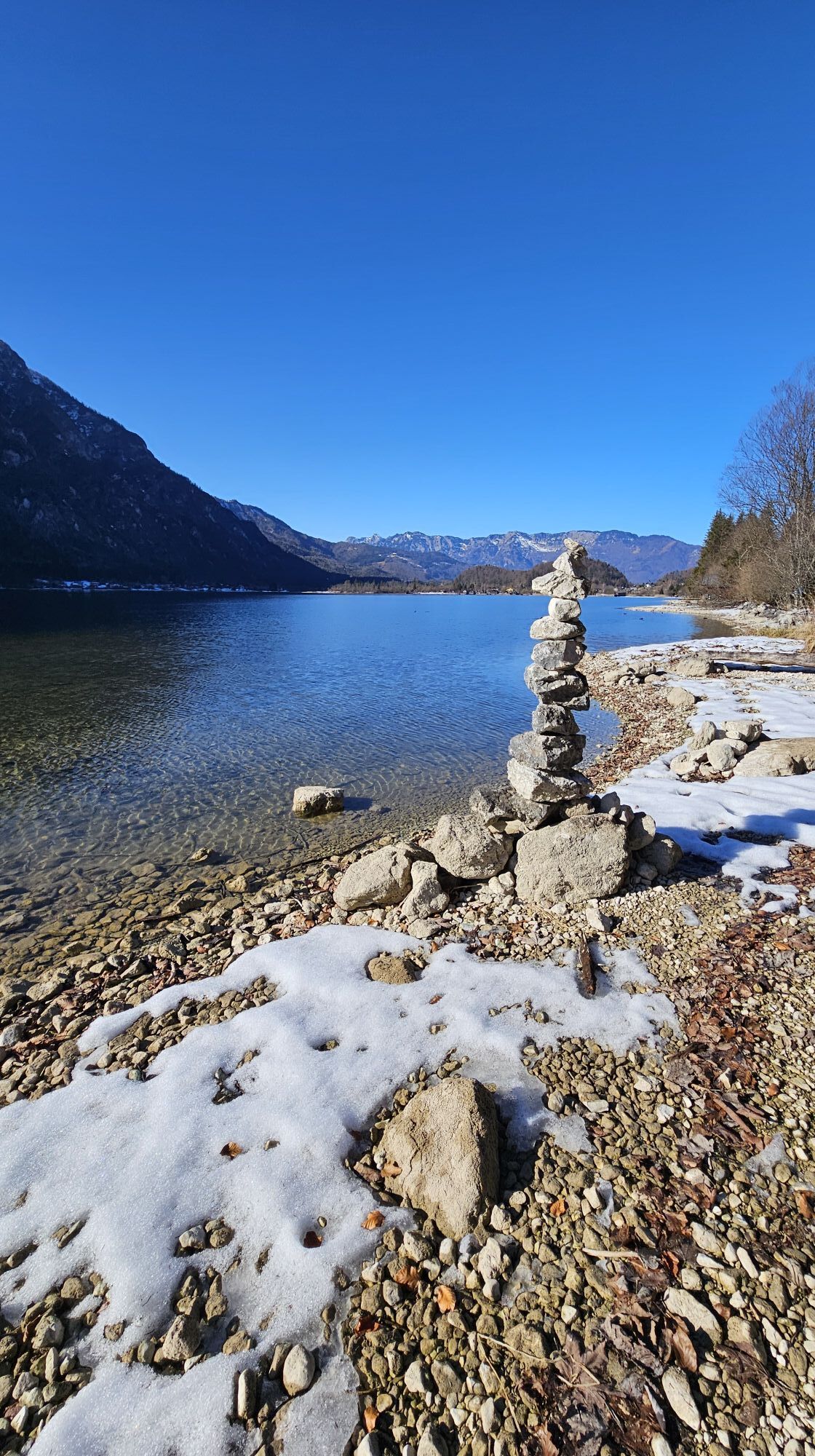
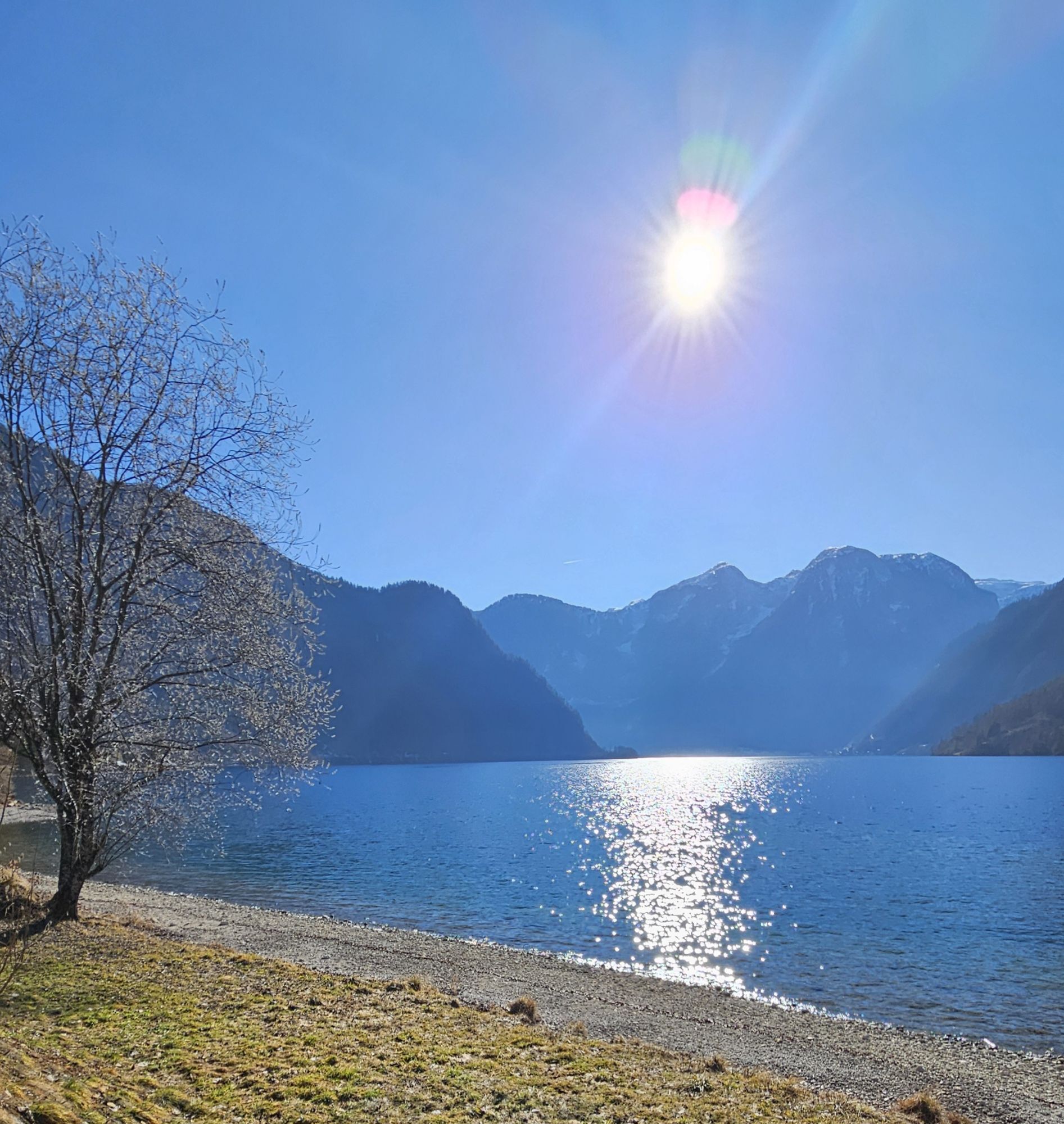
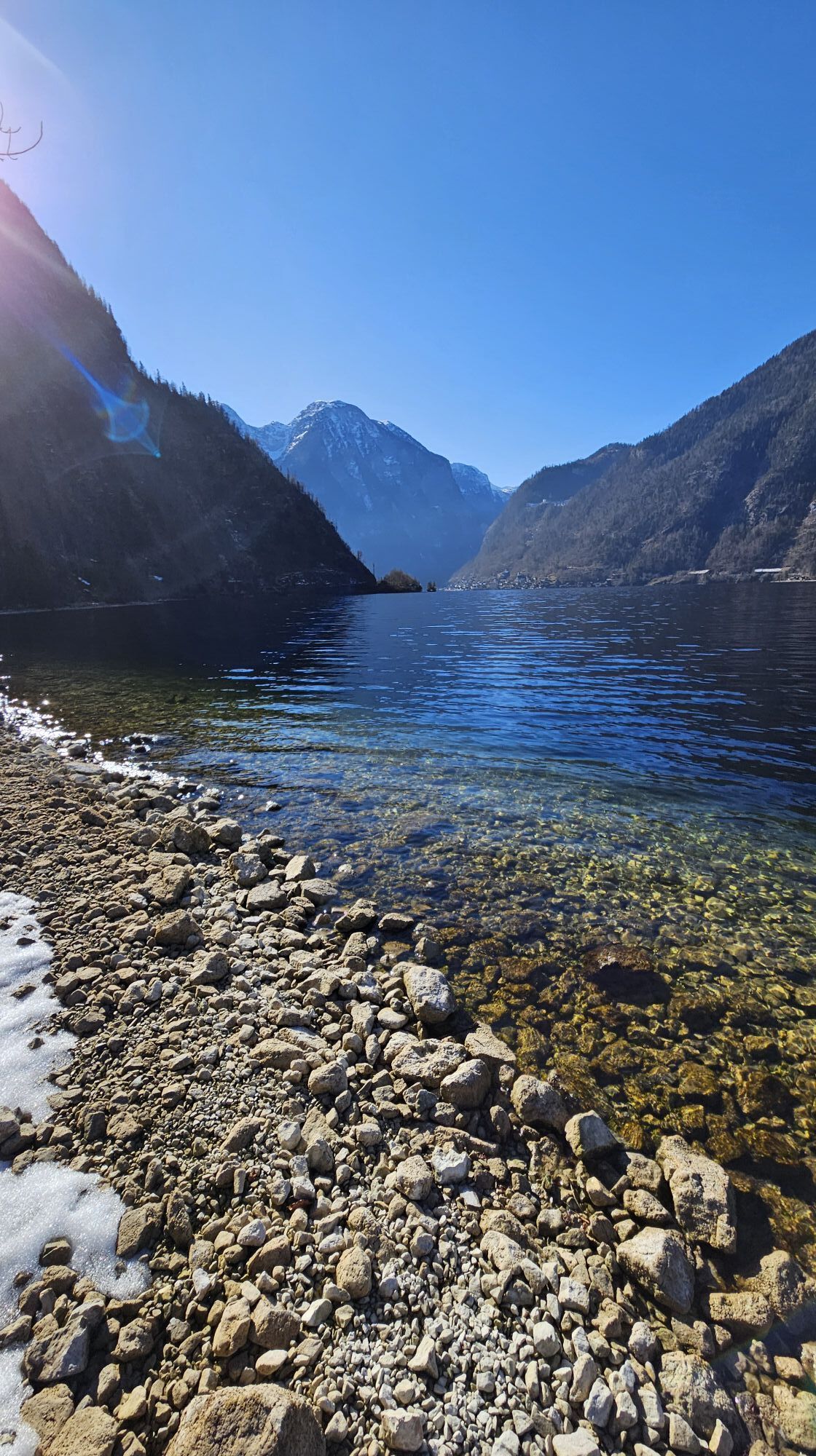
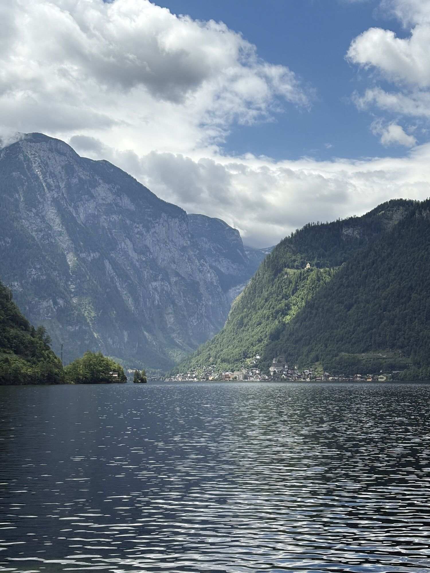
The fjord-like lake landscape, characterised by glacial ice from the Ice Age, is impressive. Around 10,000 years ago, the Lake Hallstatt has its current appearance with the greatest width of 2.1 km and the greatest length of 8.2 kilometres.
A gravel path leads southwards between the lakeshore and the railway across meadows, past individual houses and later up and down in the forest. When you cross the suspension bridge to Wehrgraben, remember that the lake has its greatest depth right here at 125.2 metres. The fifth largest lake in the Salzkammergut has an area of exactly 8.58 m2.
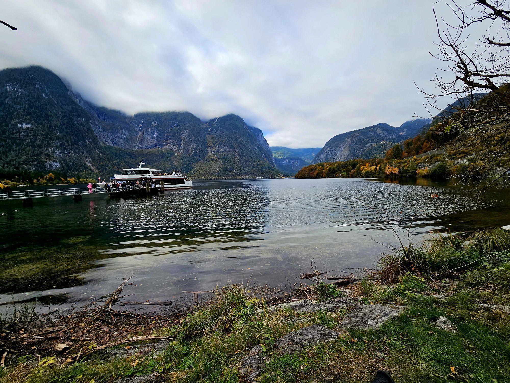
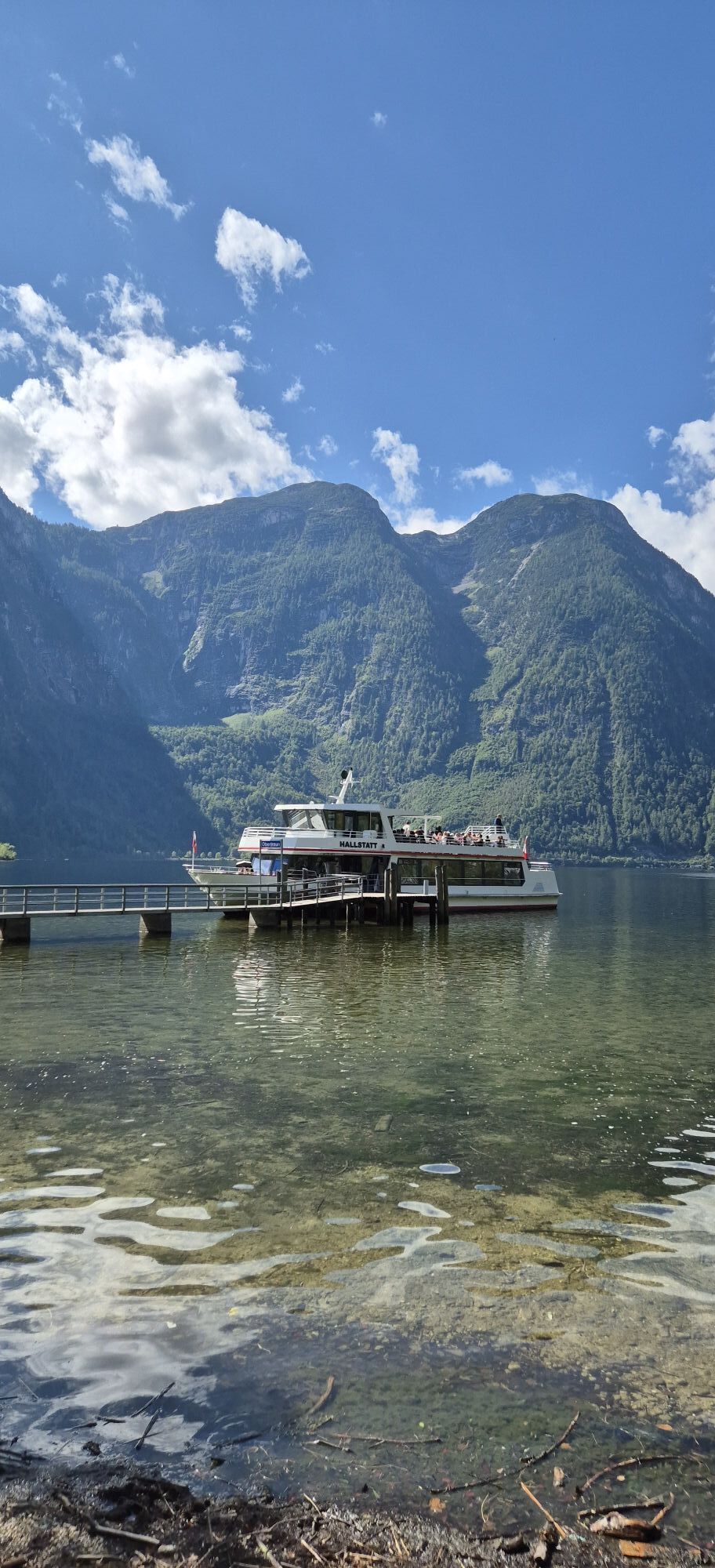
There are several ways to enter the landscape experience, as in Obertraun or Bad Goisern am Hallstättersee.
The easiest place to start is in the village of Au in Bad Goisern. There are several inns here.
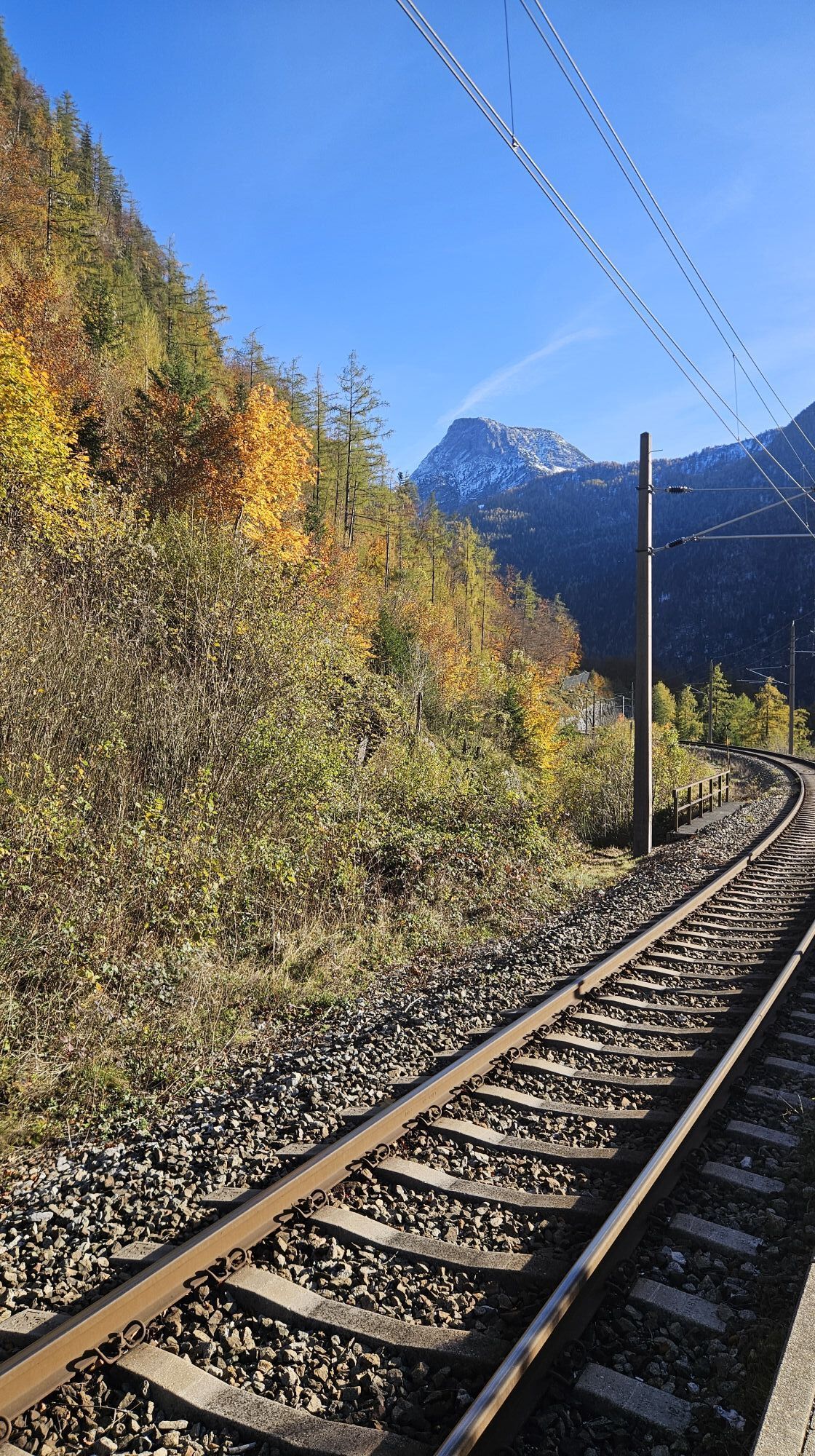
The route follows the R2 cycle path to Untersee and from there you follow the tarmac path to the lake. Continue to Uferwirt Seeraunzn, always directly alongside Lake Hallstatt. The cycle path then runs separately from the hiking trail, above the lake. There are a few short climbs to overcome. After around two kilometres, the trail continues together with the hiking trail and you first pass the suspension bridge before you pass the Hallstatt railway station to Obertraun. The return journey is recommended on the same route as there is no cycle path from Hallstatt to Bad Goisern and the road is very busy.
Experience a 360° panoramic tour through Bad Goisern on Lake Hallstatt...

Ano


Oblíbené prohlídky v okolí
- 4,3
Altaussee: Seeumrundung
Horská turistika 7,58 km - 4,5
Loser: Loserfenster und Losergipfel
středníTuristika 2,48 km - 4,8
Heilbronner circular trail
světloTuristika 7,78 km - 3,8
Ostuferwanderweg
světloTuristika 16,2 km - 4,6
Hike to the Hütteneckalm
světloTuristika 8,70 km - 4,7
Tour around the Lake Gosau
světloTuristika 4,43 km - 4,8
Loserrunde über Augstsee, Loserfenster, Losergipfel und Loserhütte
středníTuristika 4,69 km - 4,7
Hütteneck ski & snowshoe tour
středníSněžnice 3,88 km - 4,8
Hoher Sarstein
středníTuristika 13,4 km - 4,9
„Hoher Sarstein 1975m“ - Hallstätter Genusstour - Hallstatt - Obertraun - Bad Ischl
heavyTuristika 23,2 km
Pěší turistika a stopování


Nenechte si ujít nabídky a inspiraci pro vaši příští dovolenou
Vaše e-mailová adresa byl přidán do poštovního seznamu.