







Traunviertel Tour - Stage 7 / Additional stage

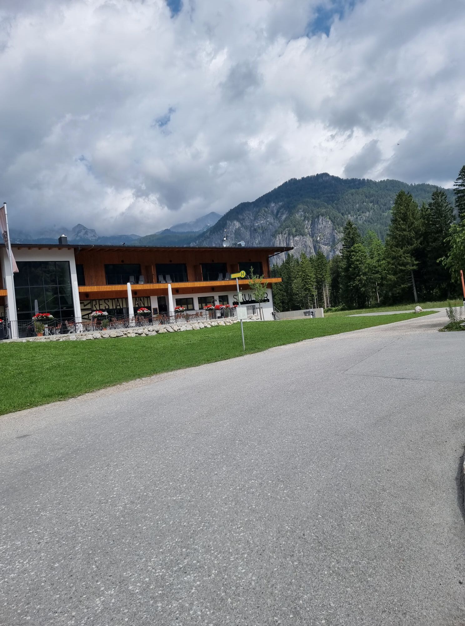
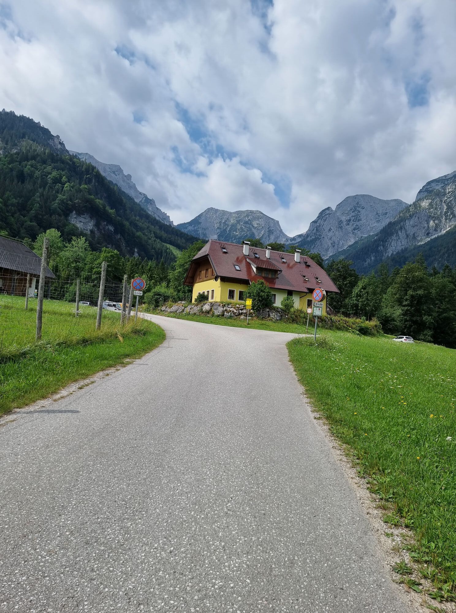
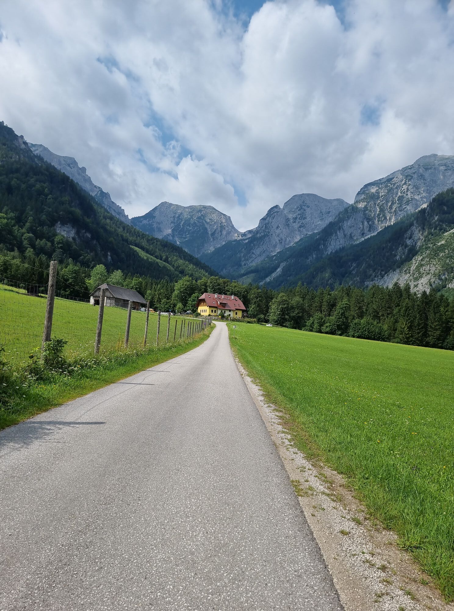
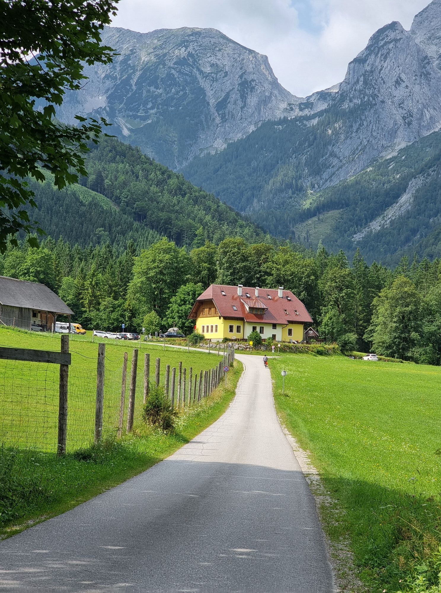
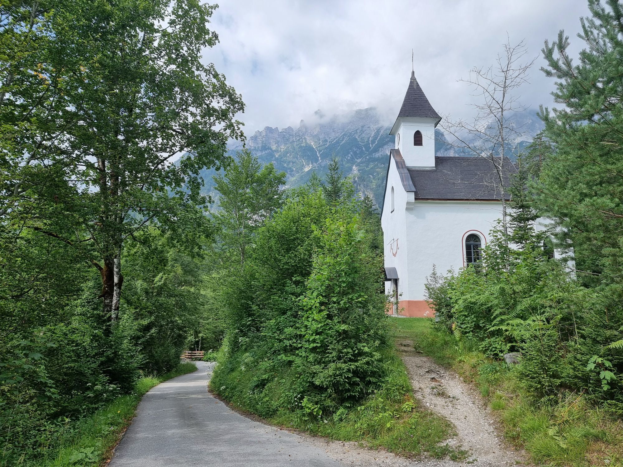
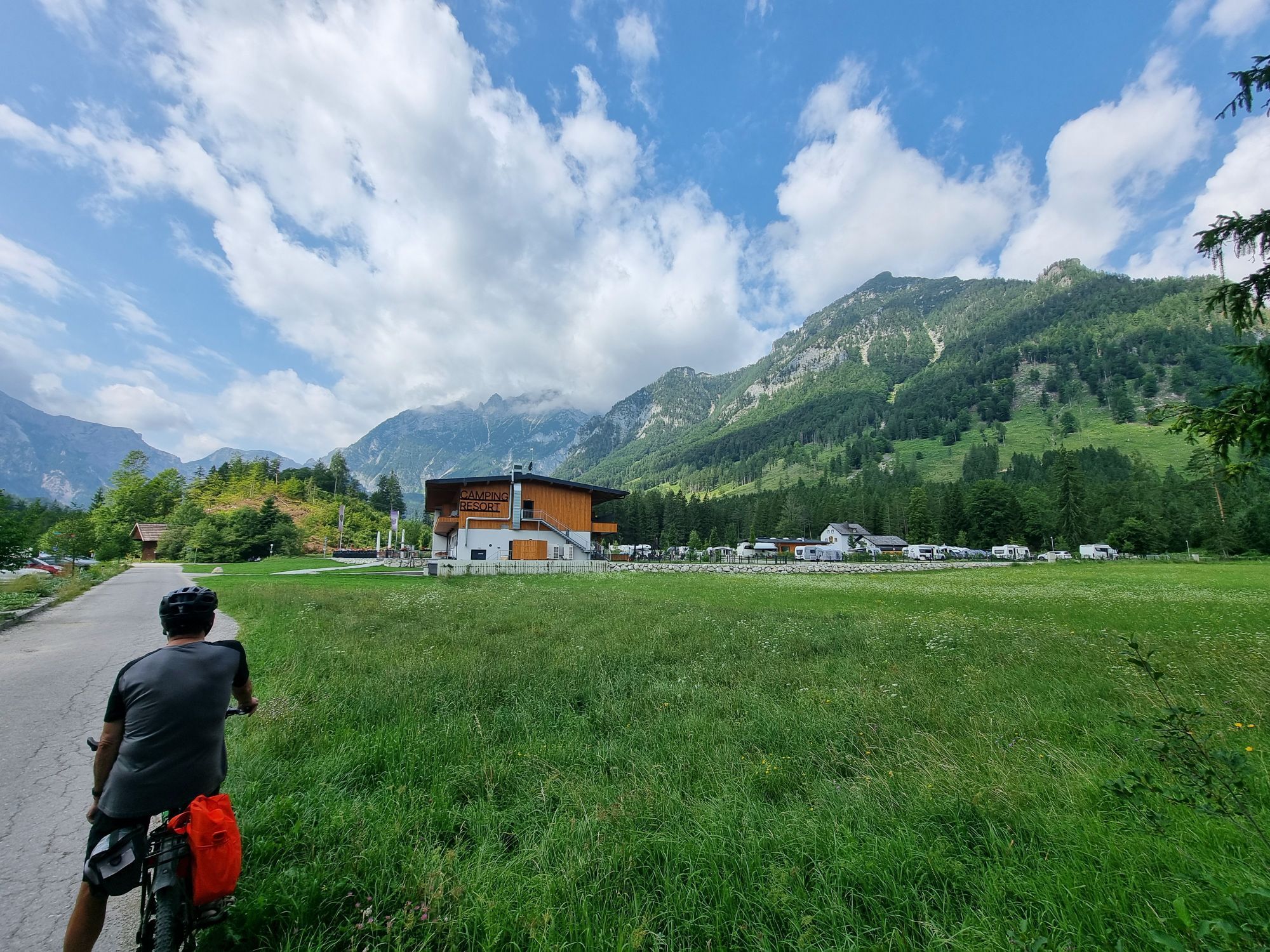
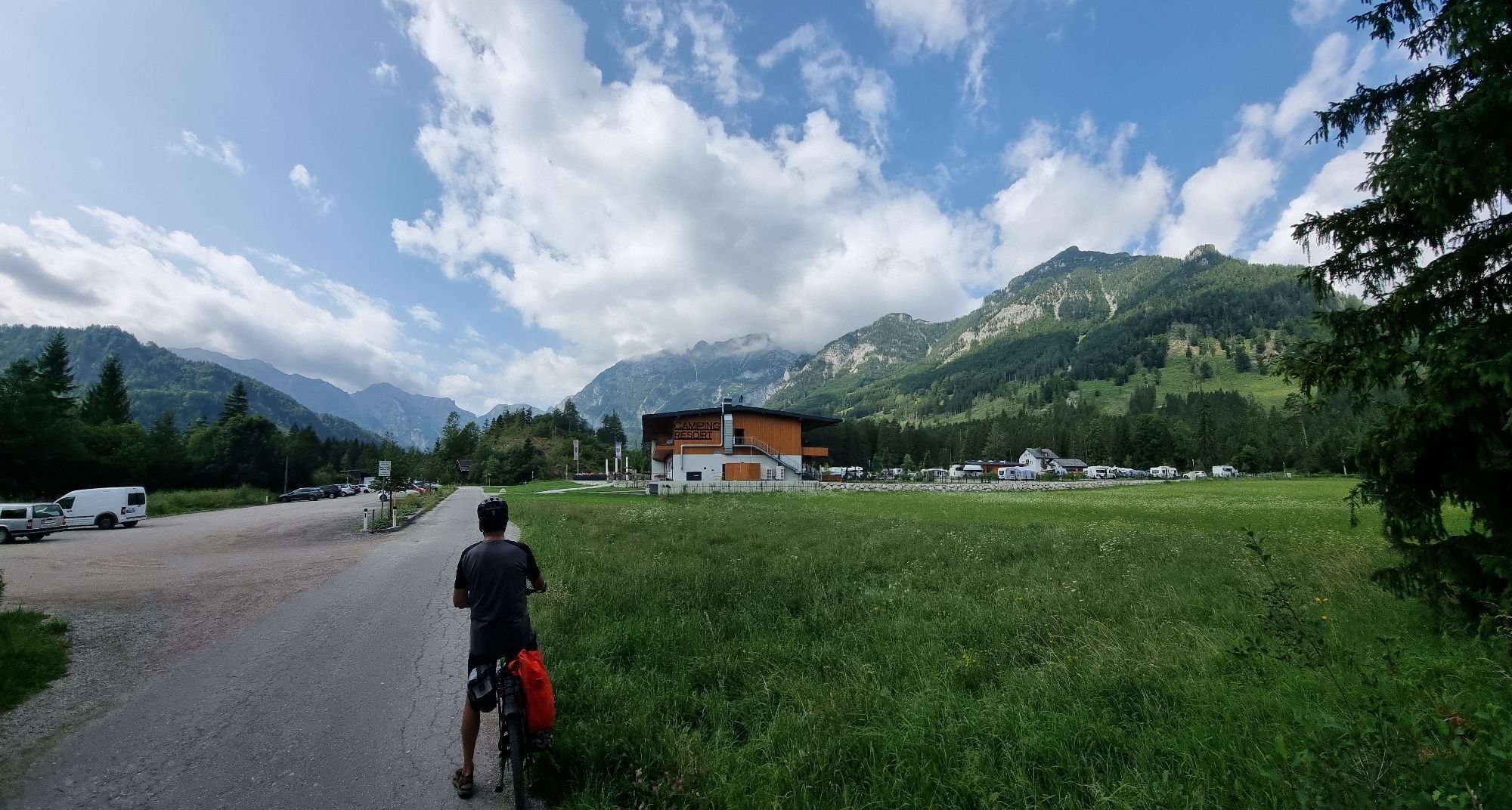
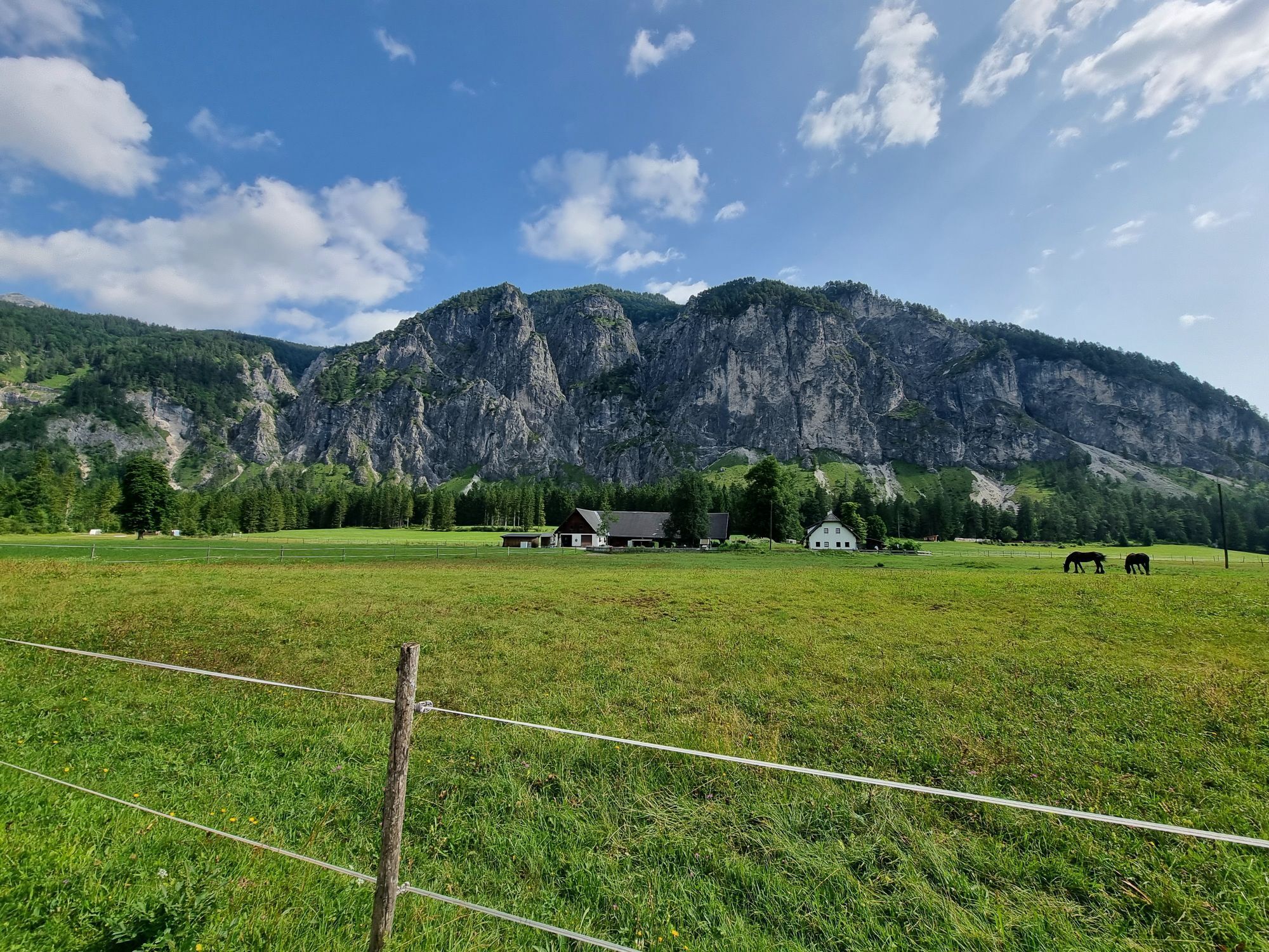
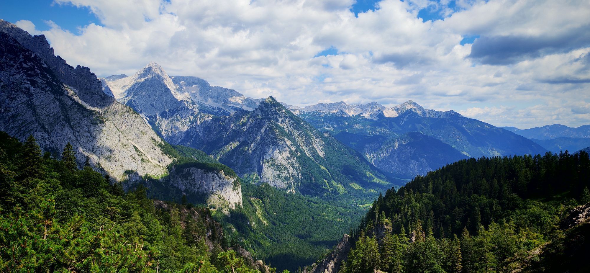
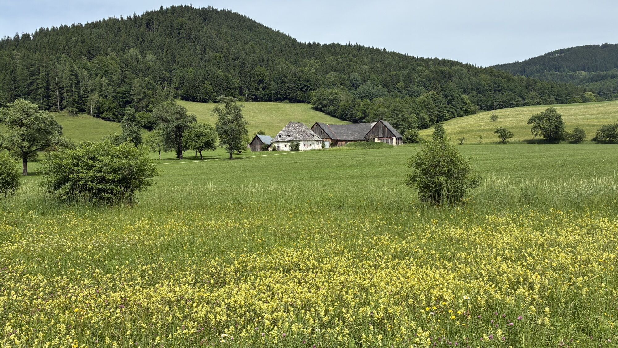
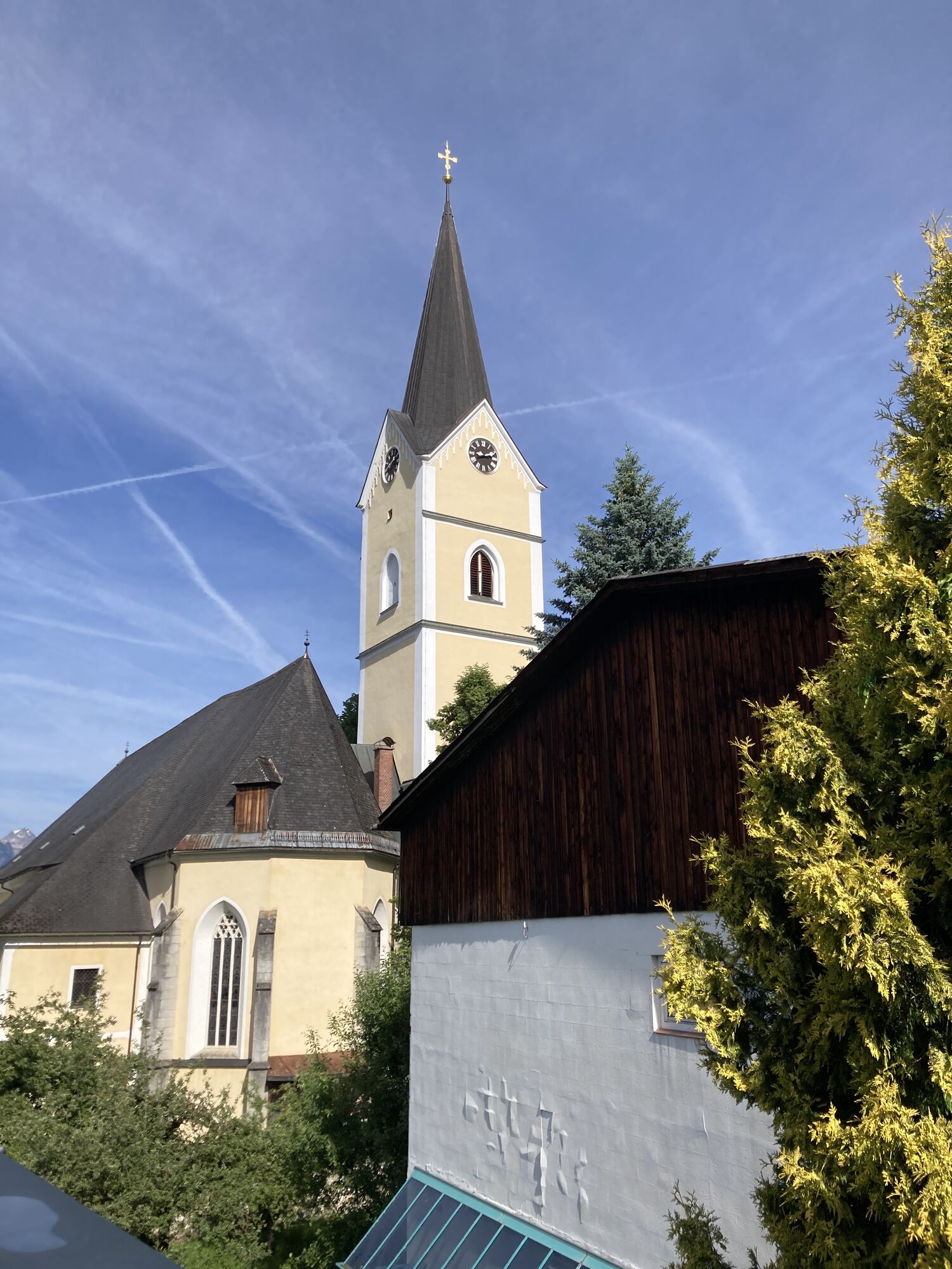
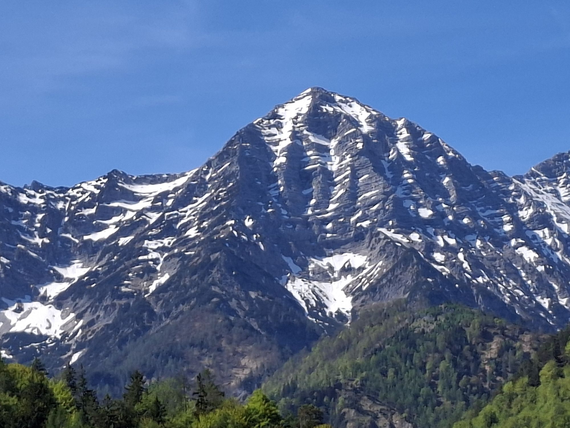
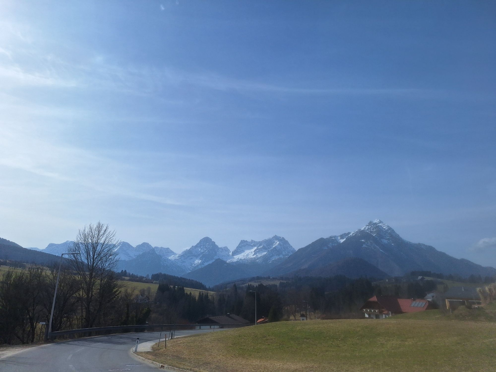
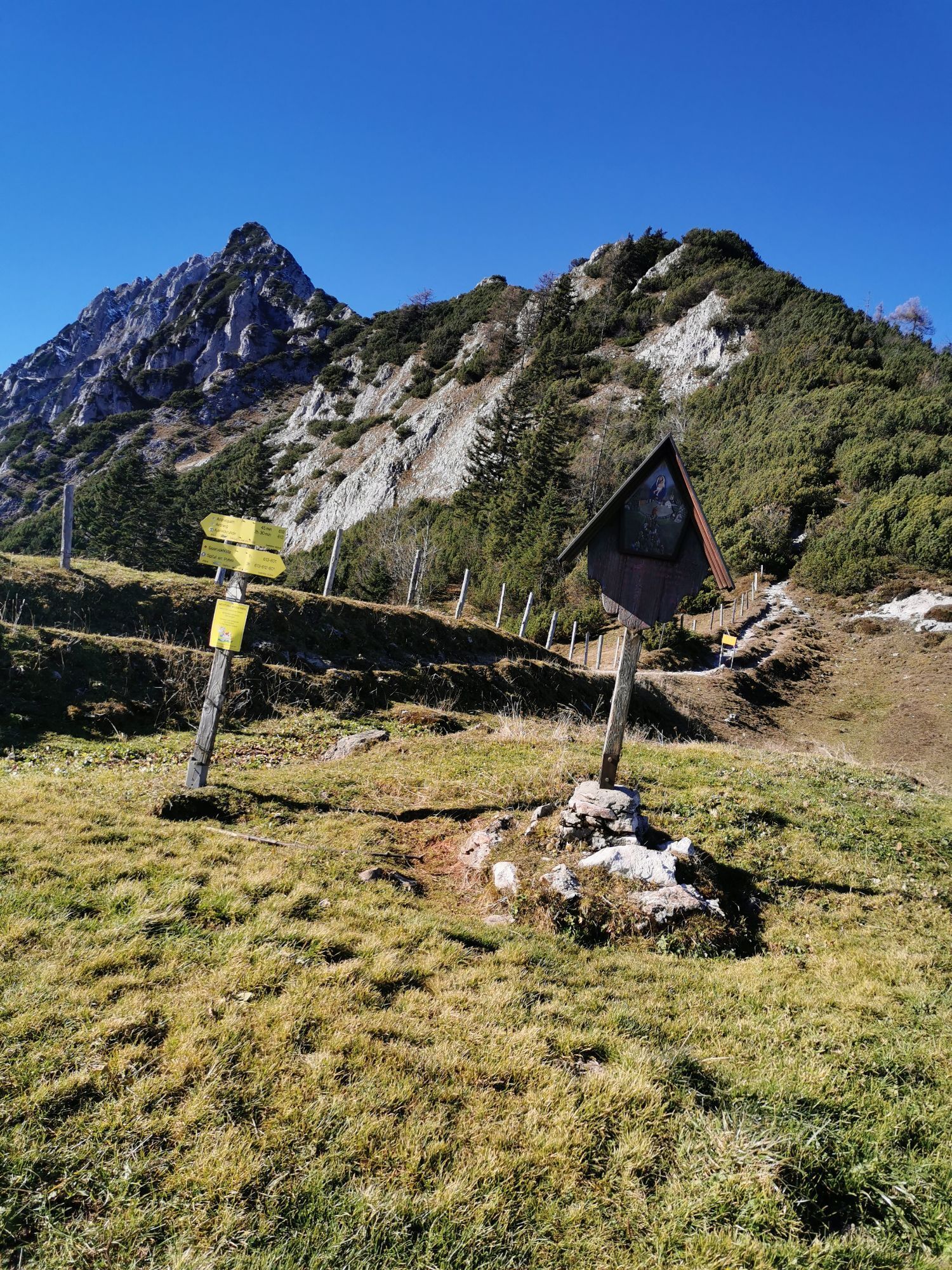
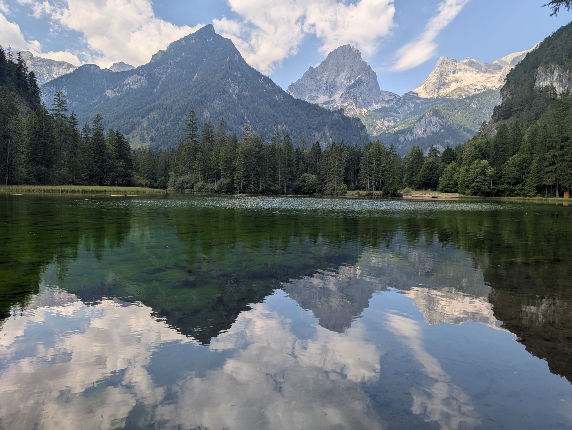
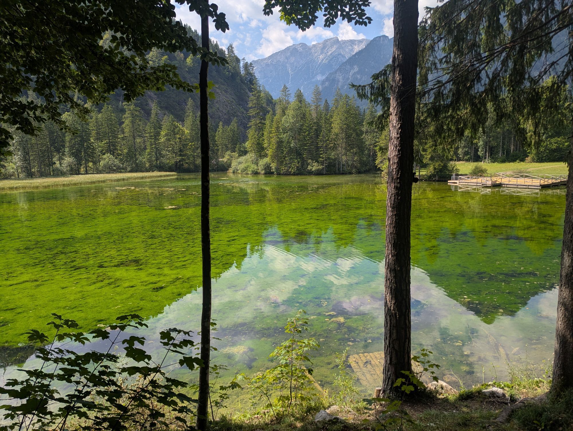
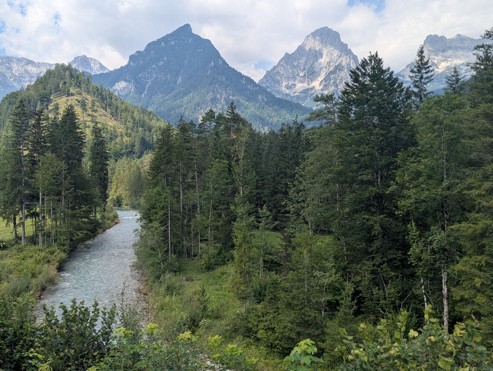
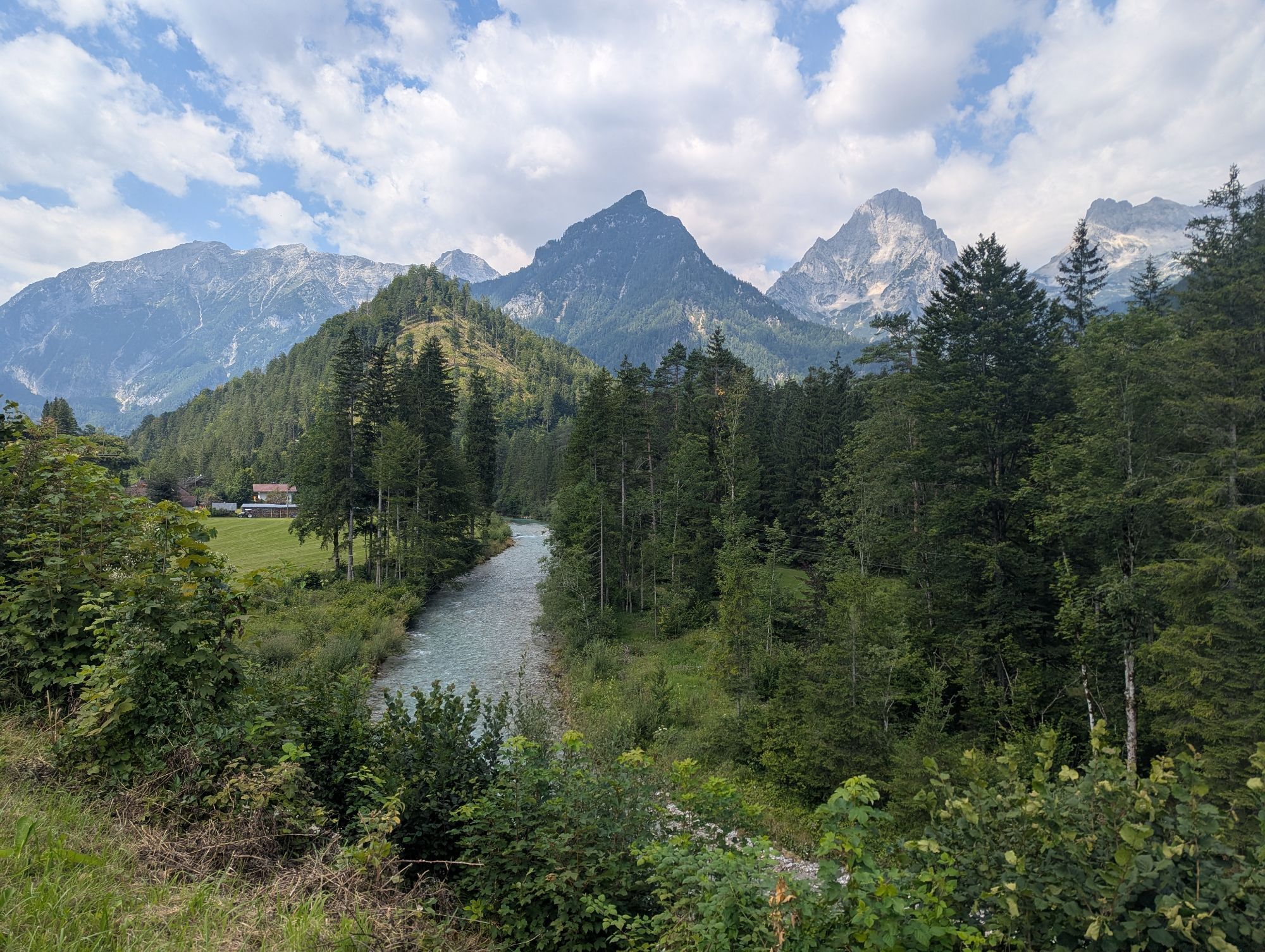
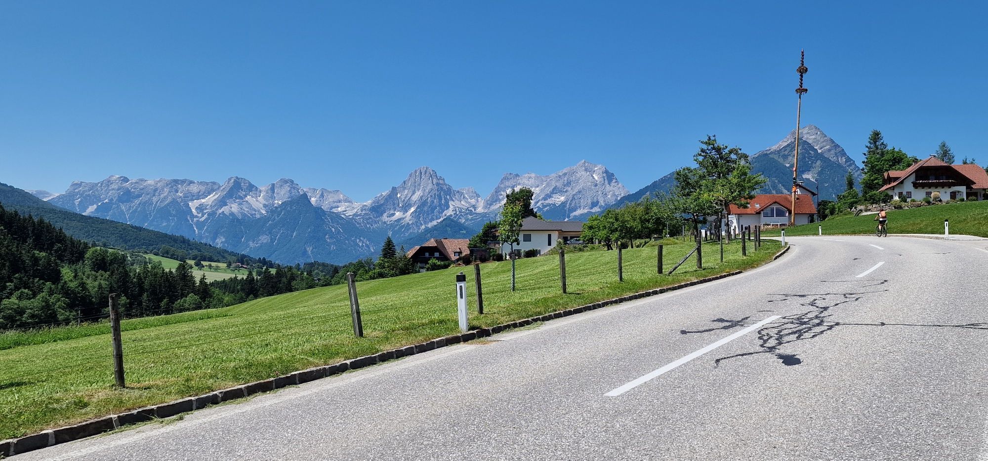
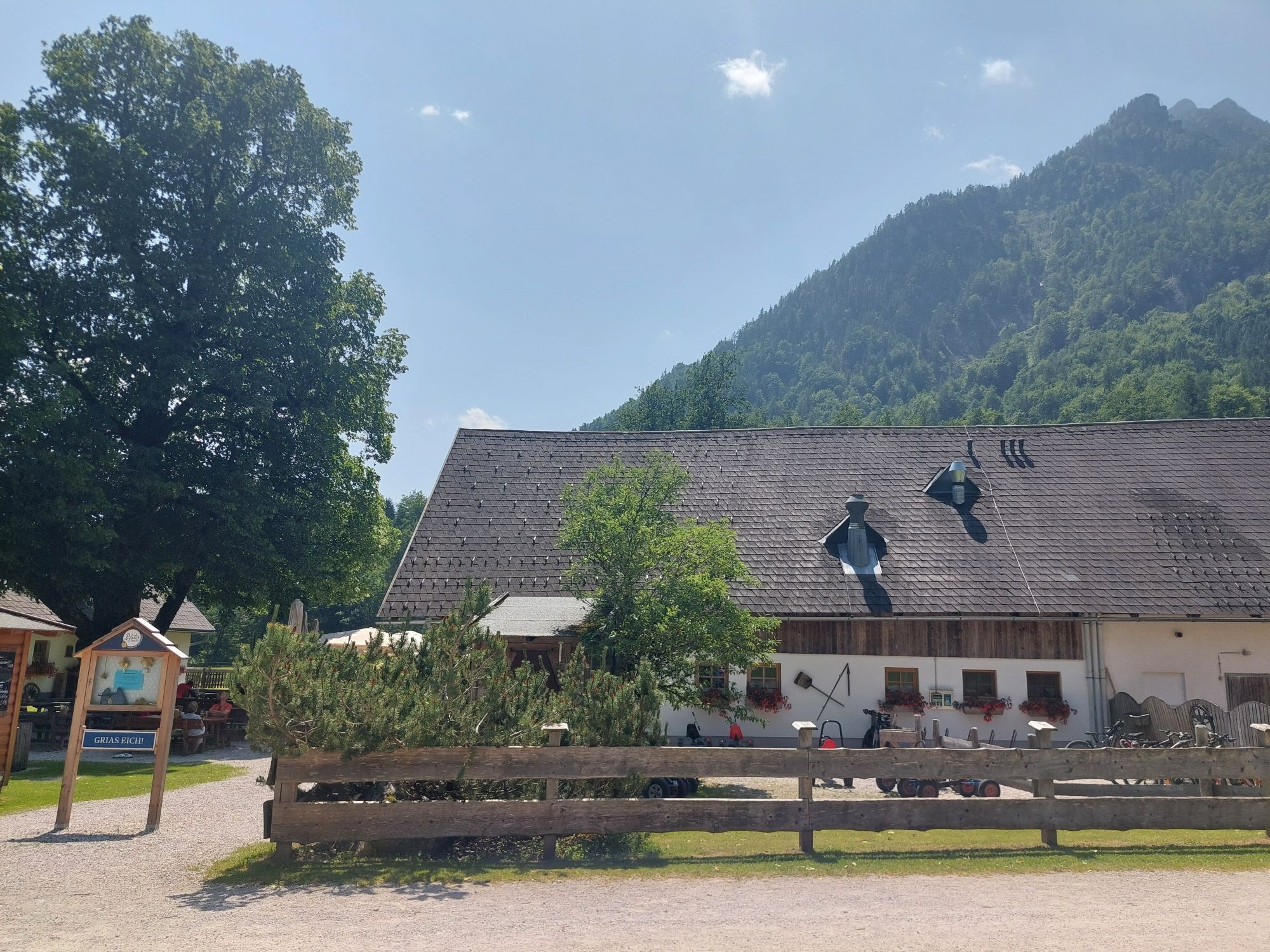
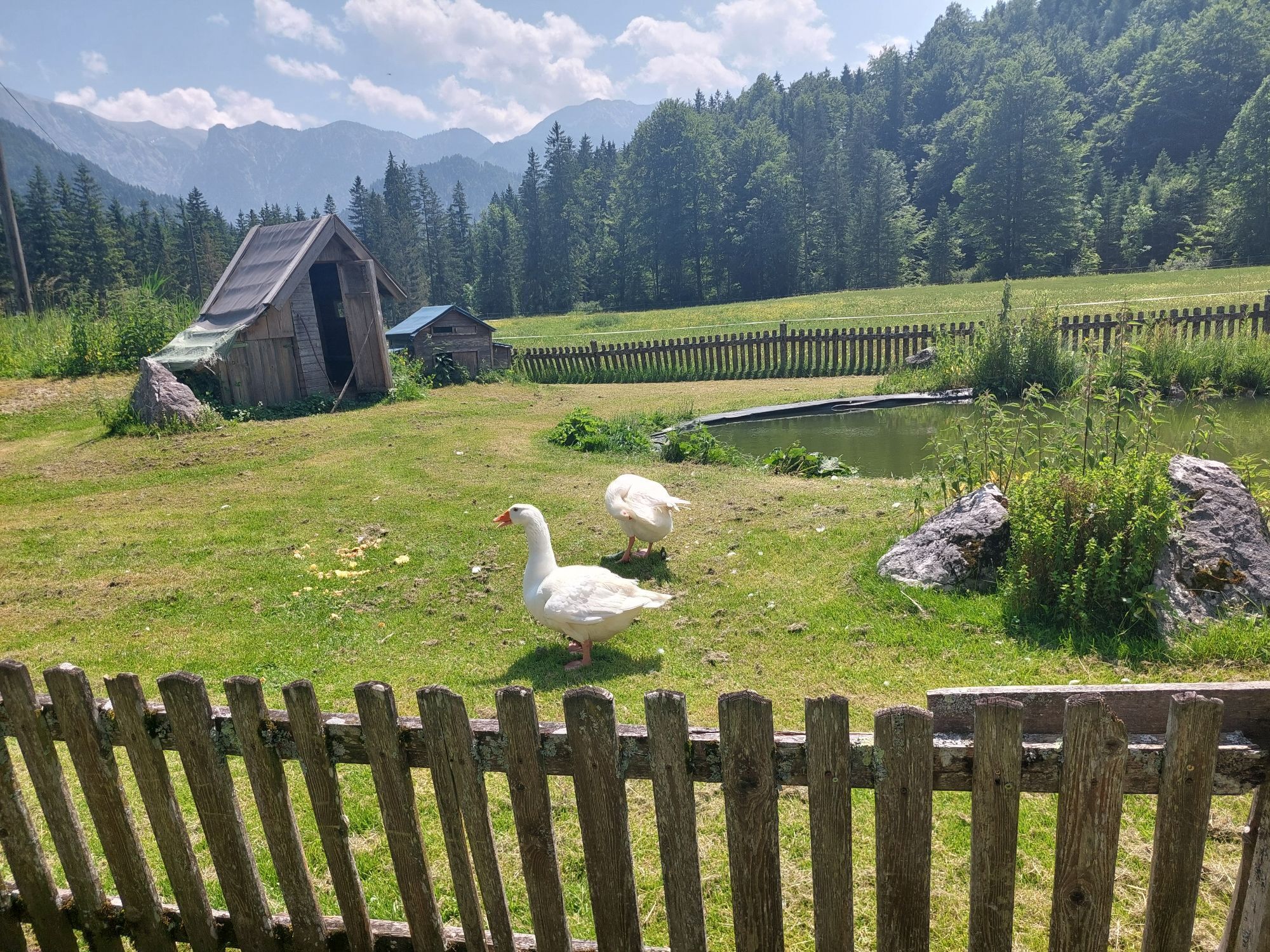
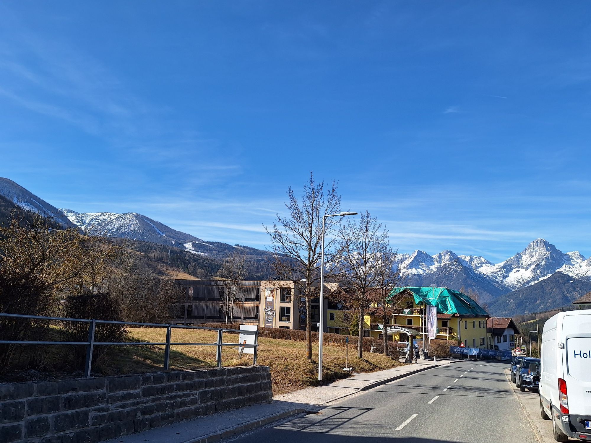
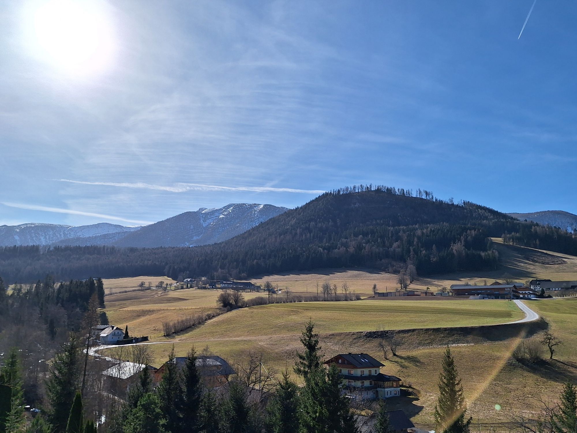

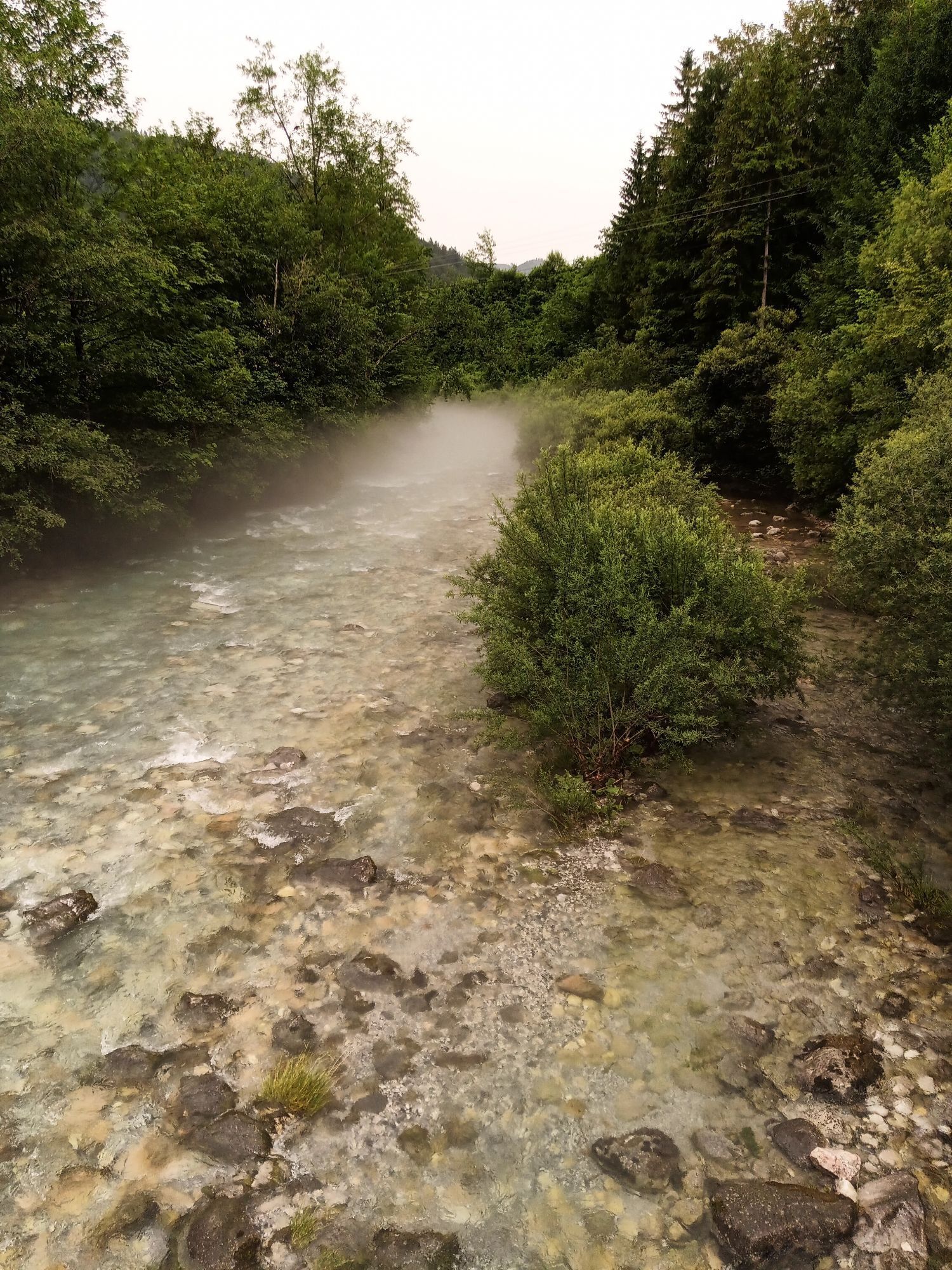
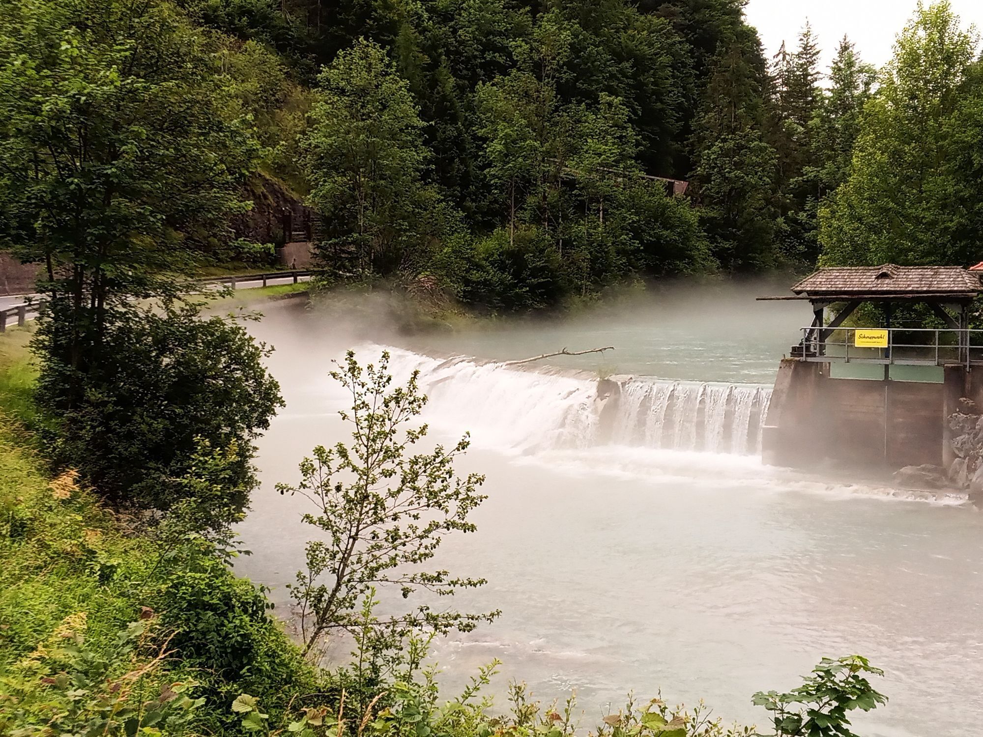
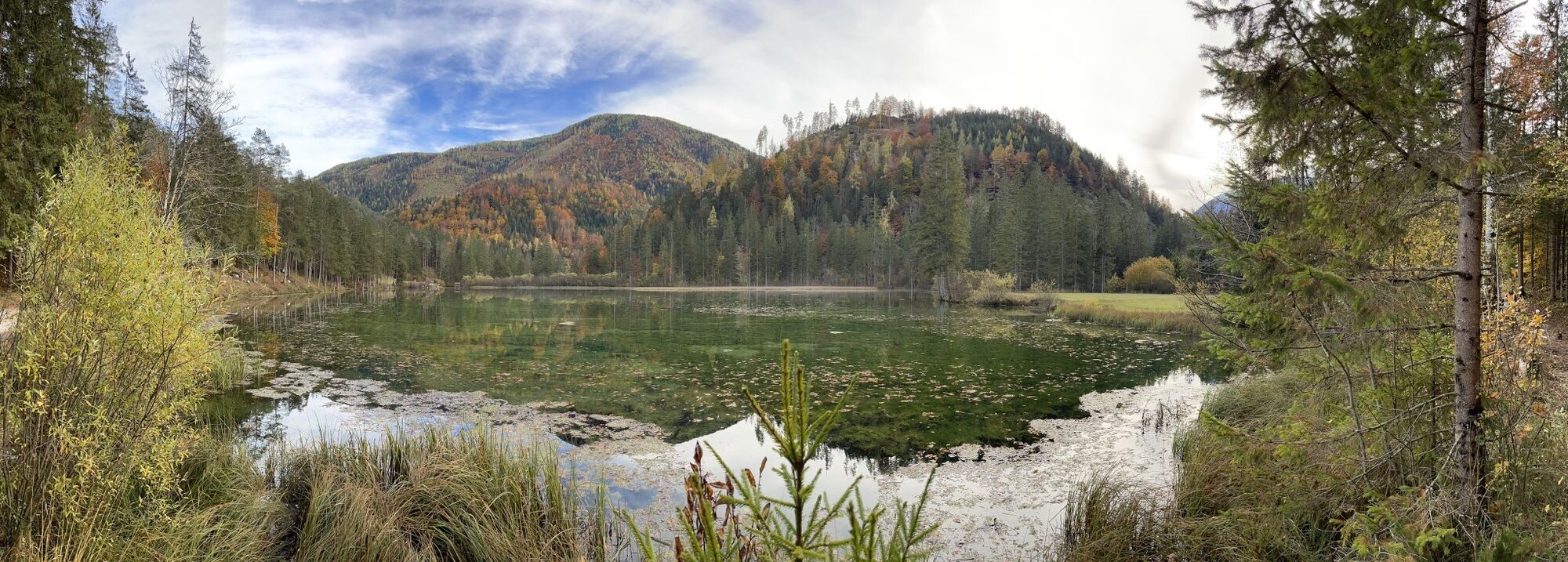
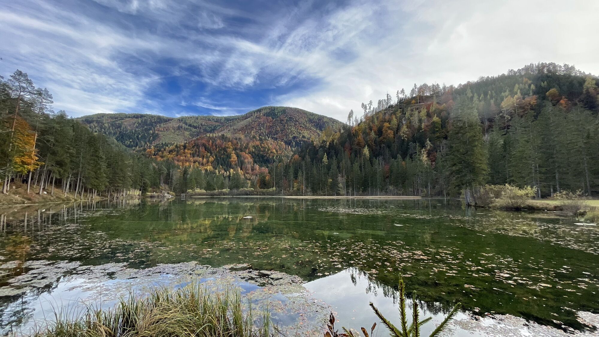
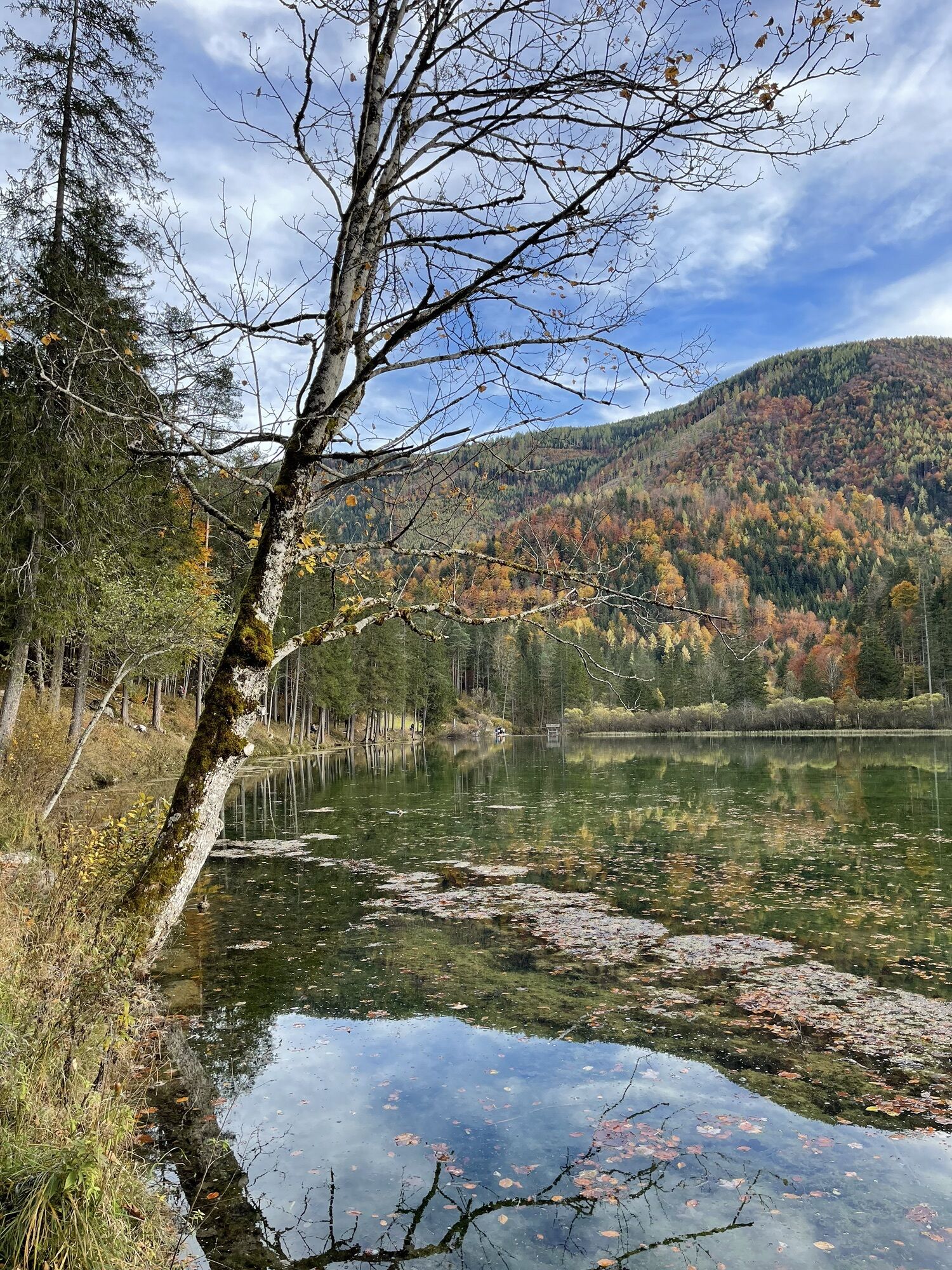
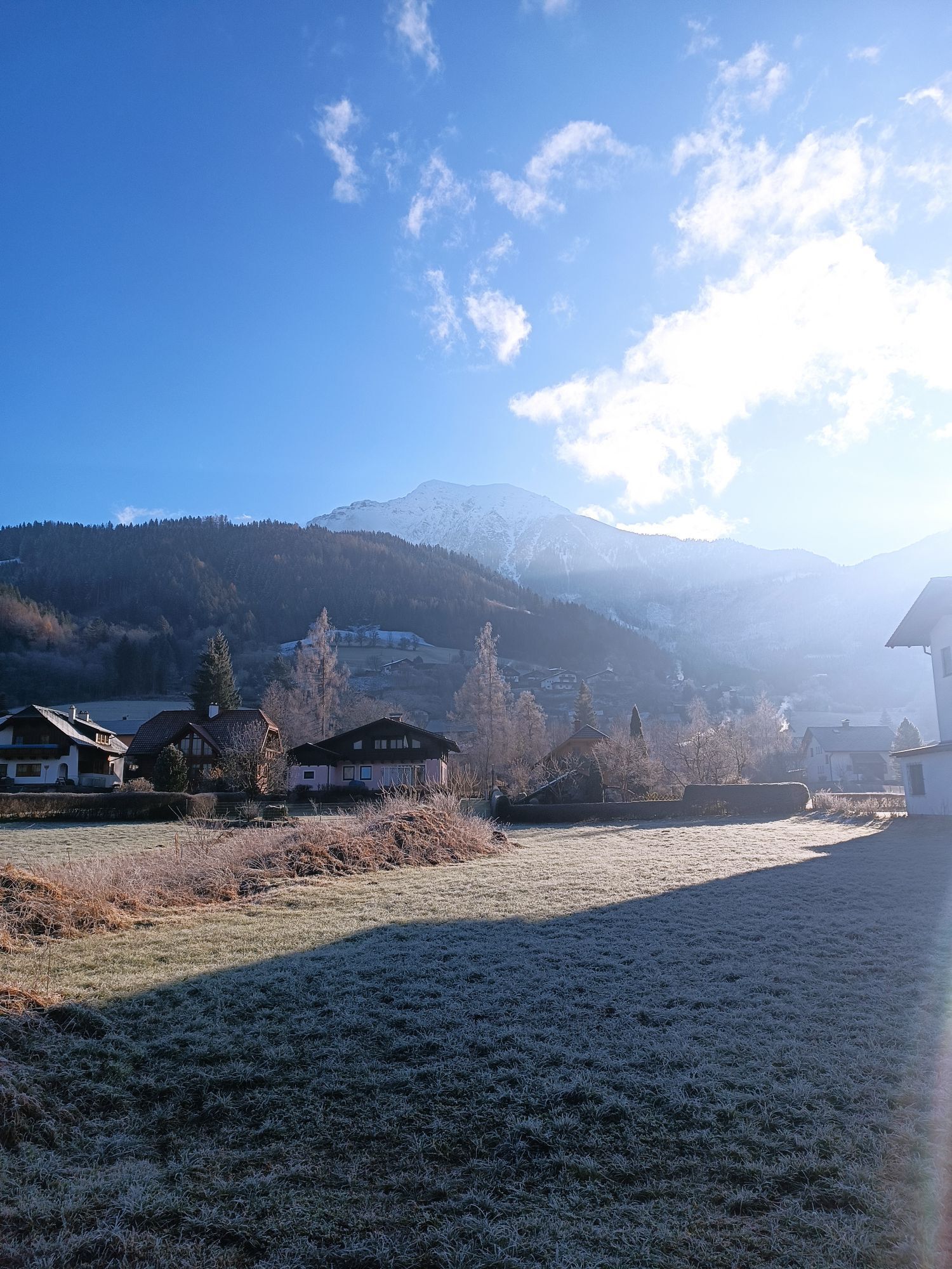
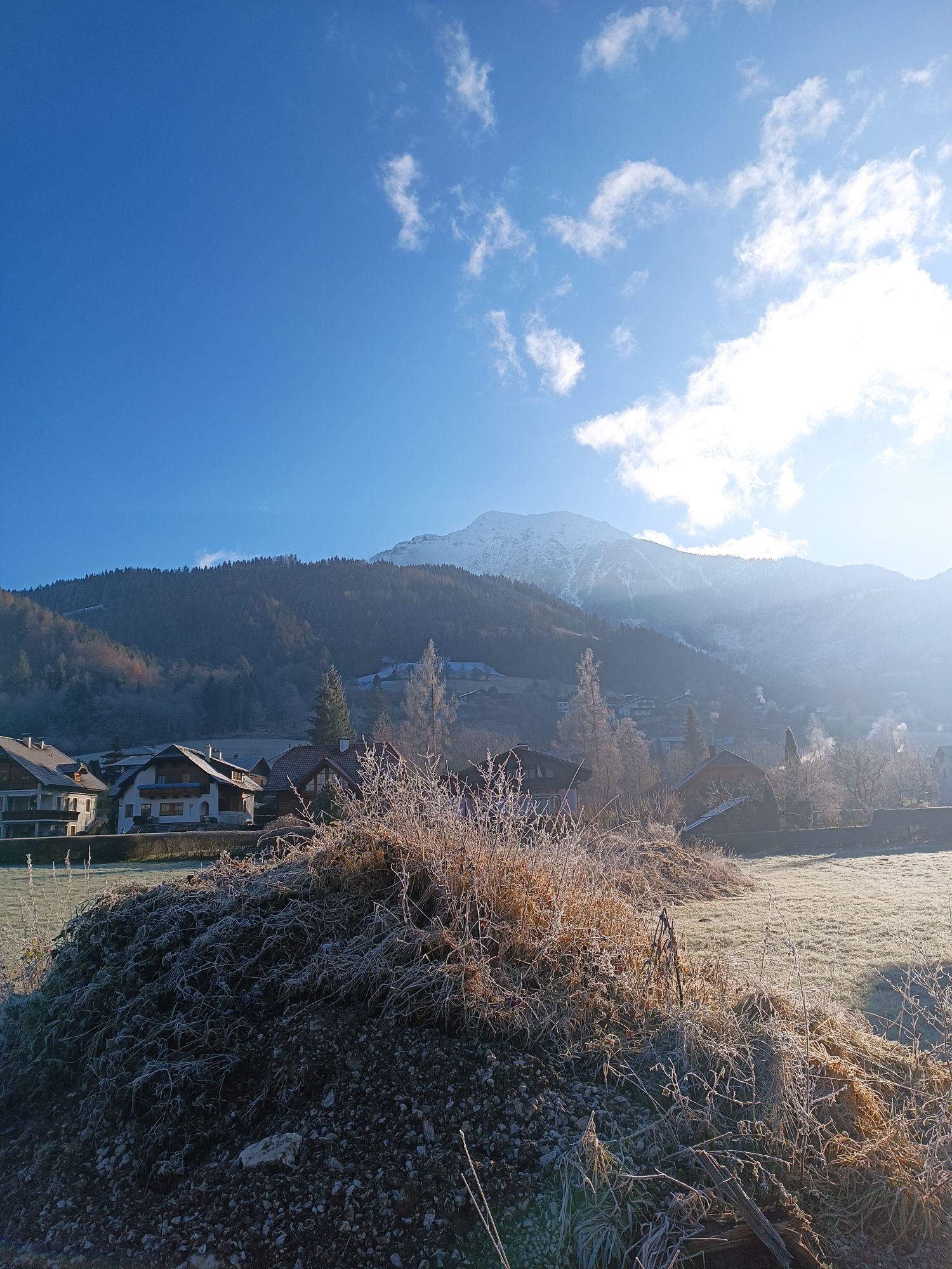
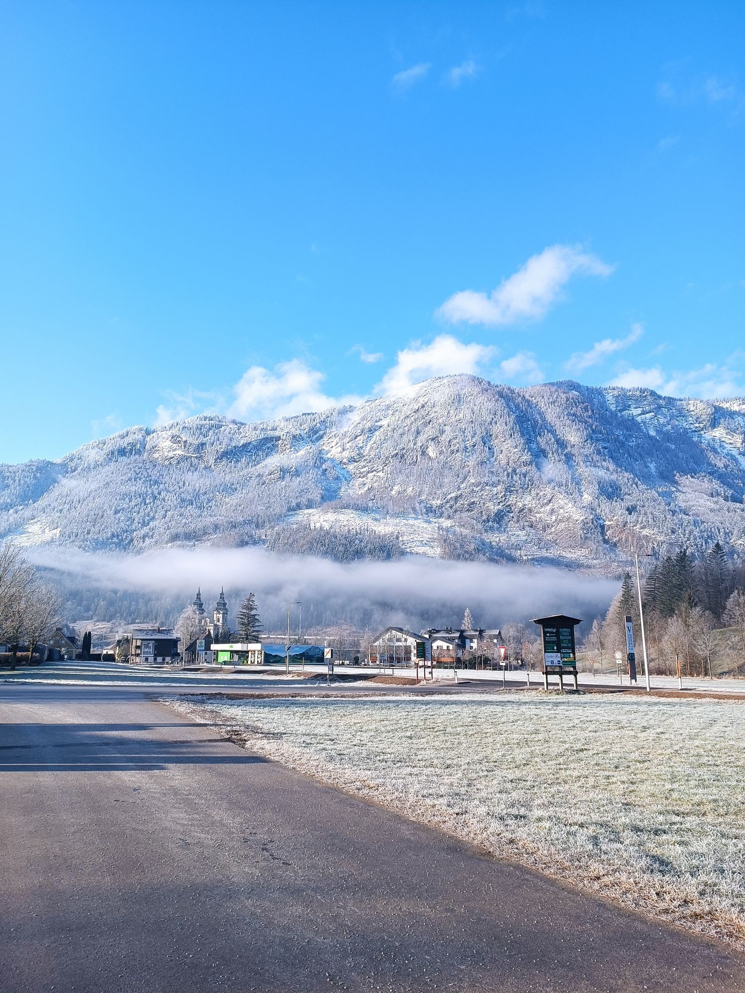
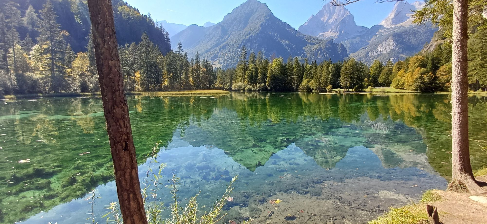
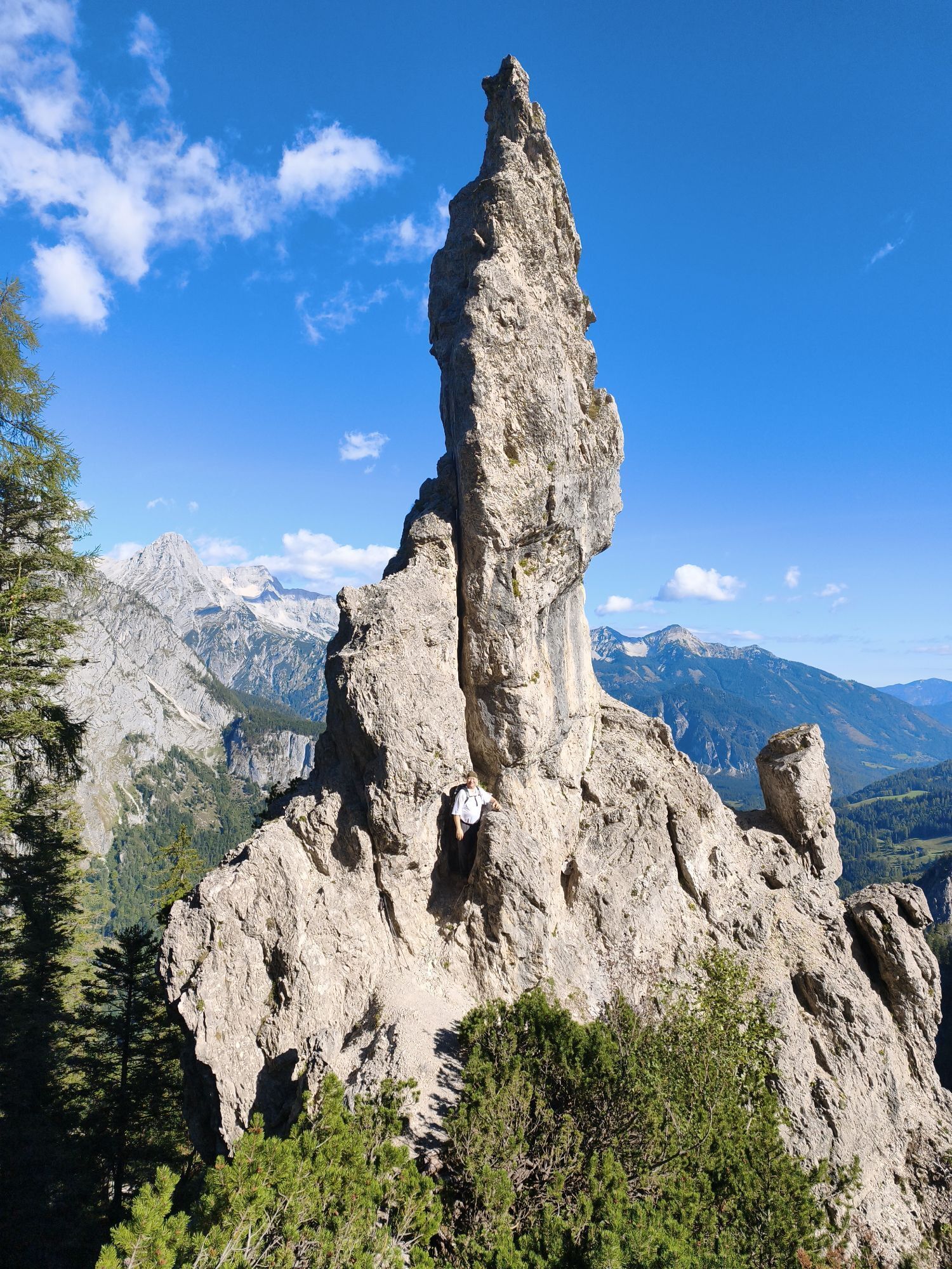
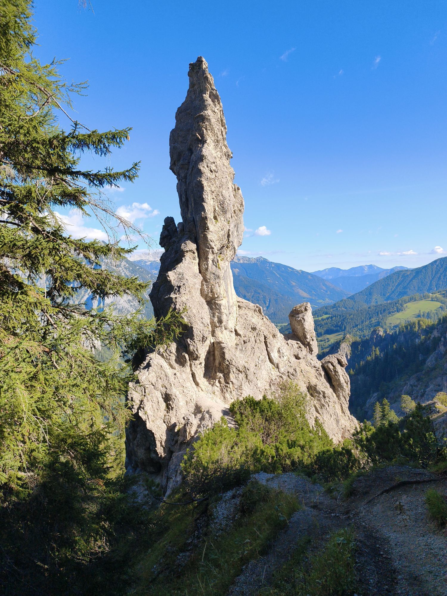
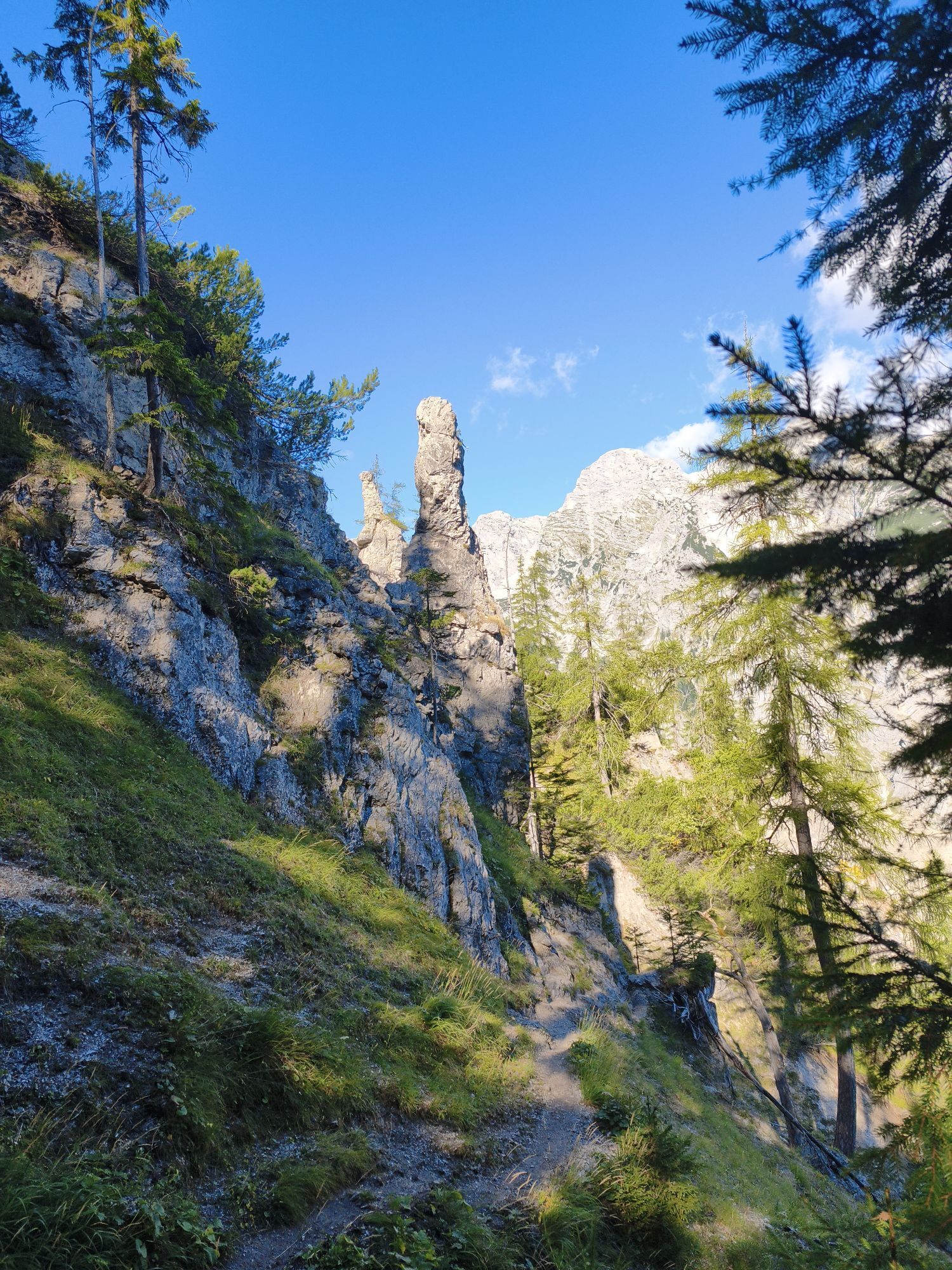
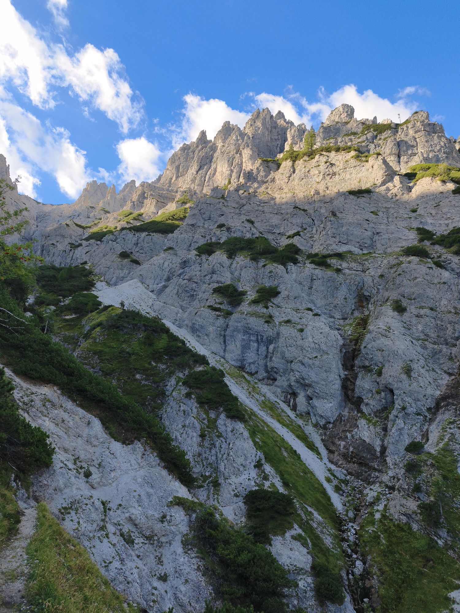
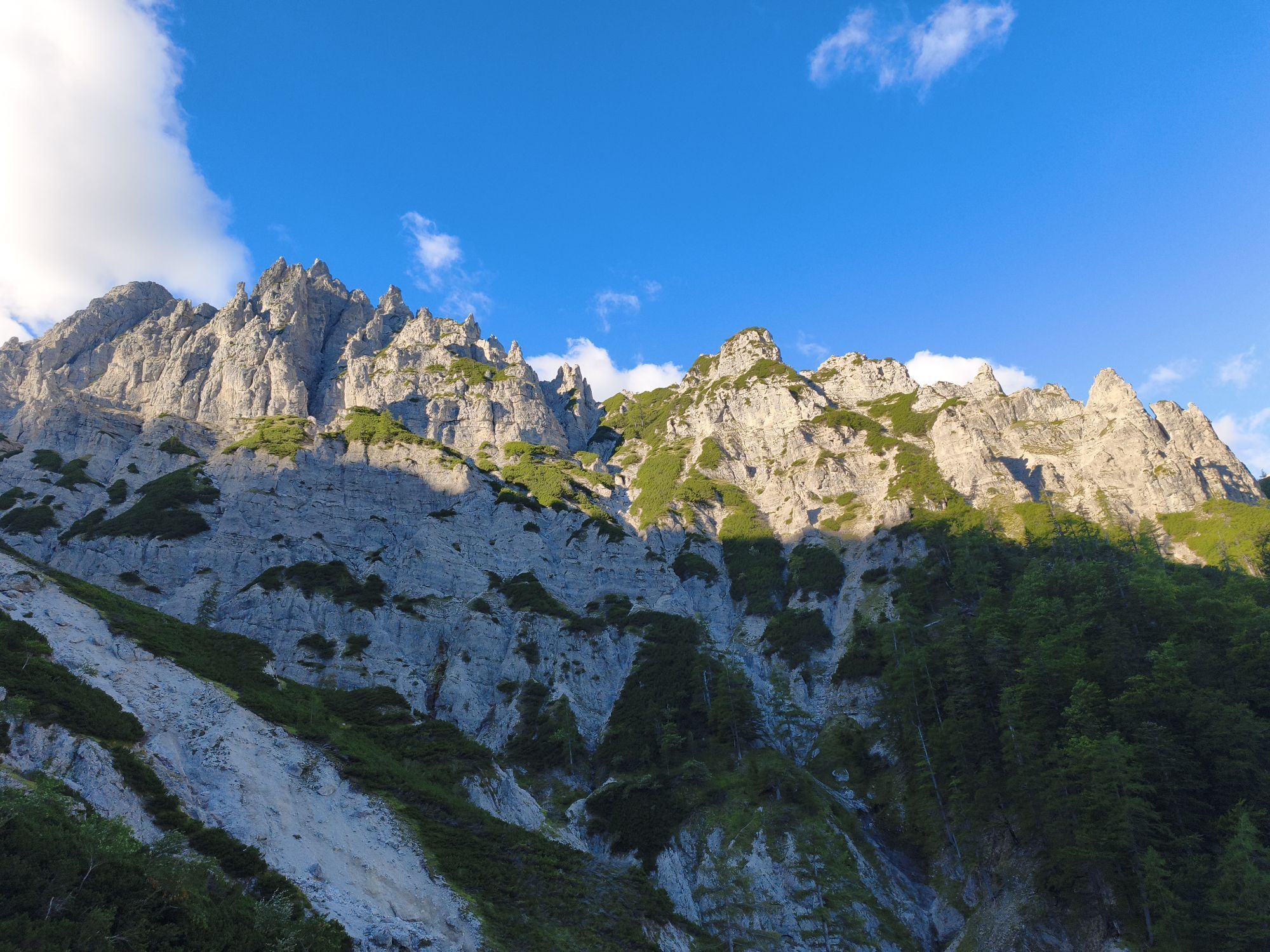
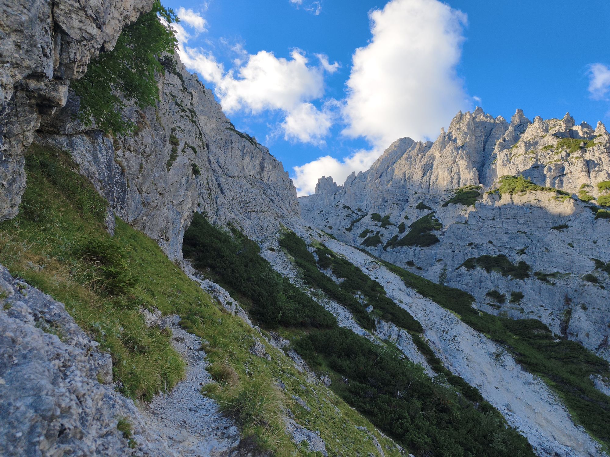
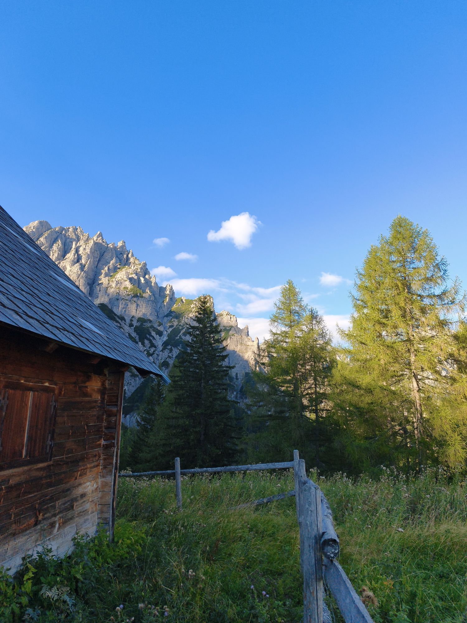
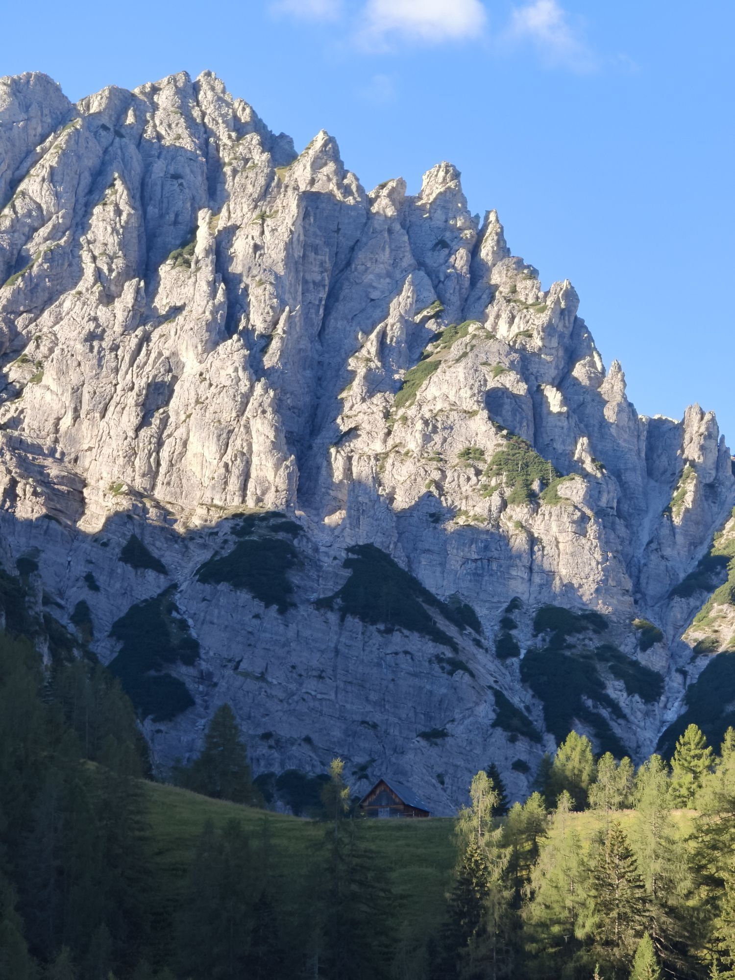
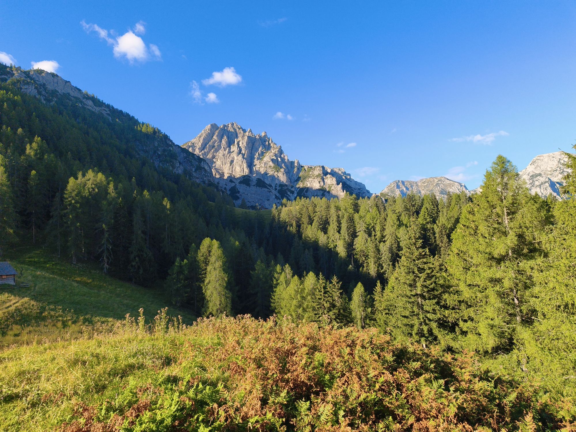
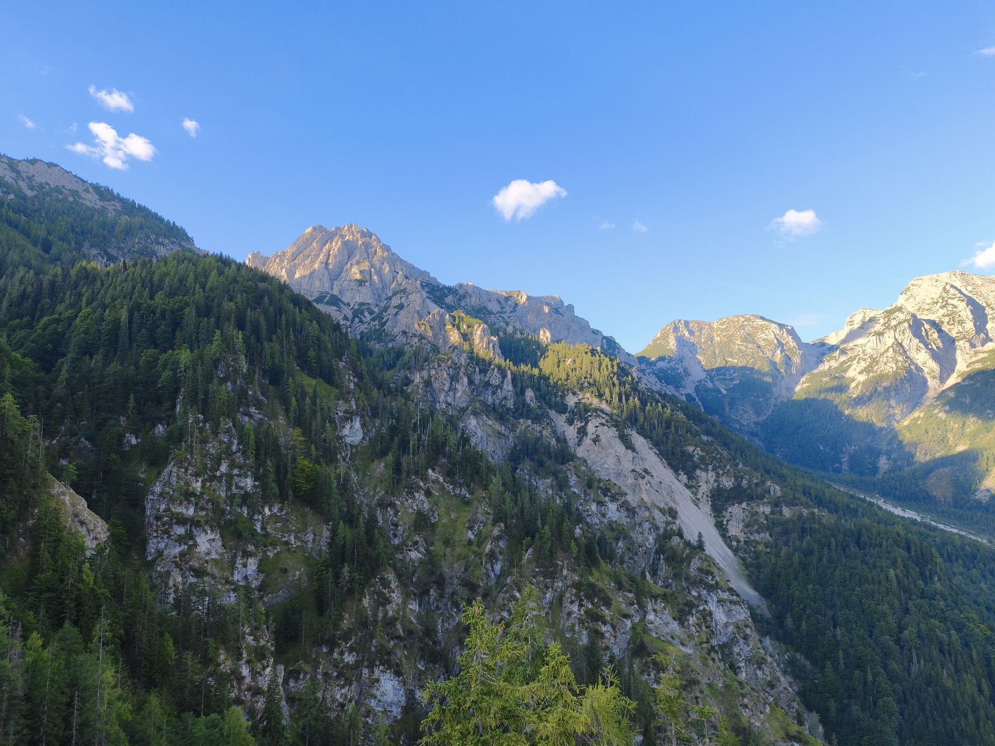

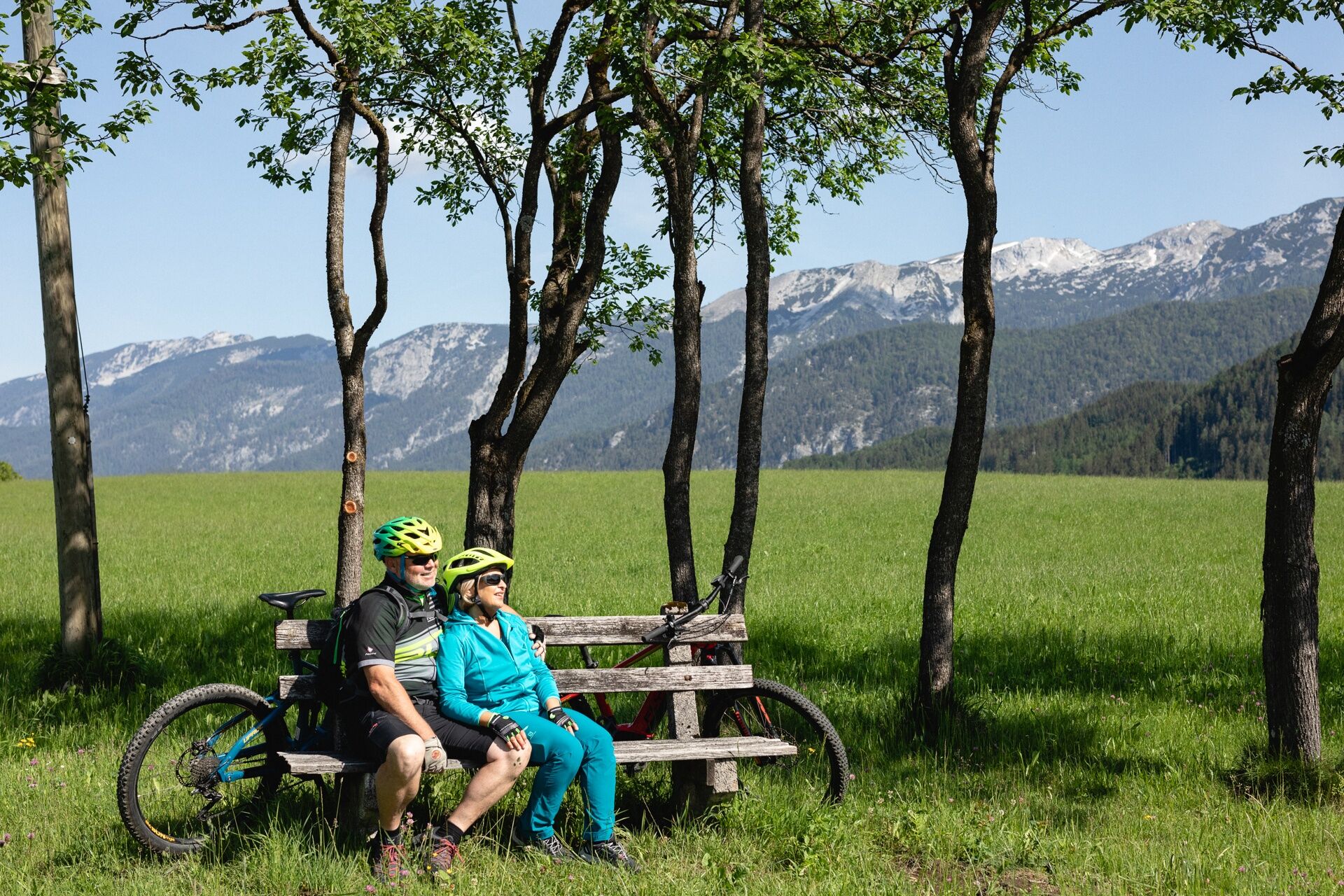
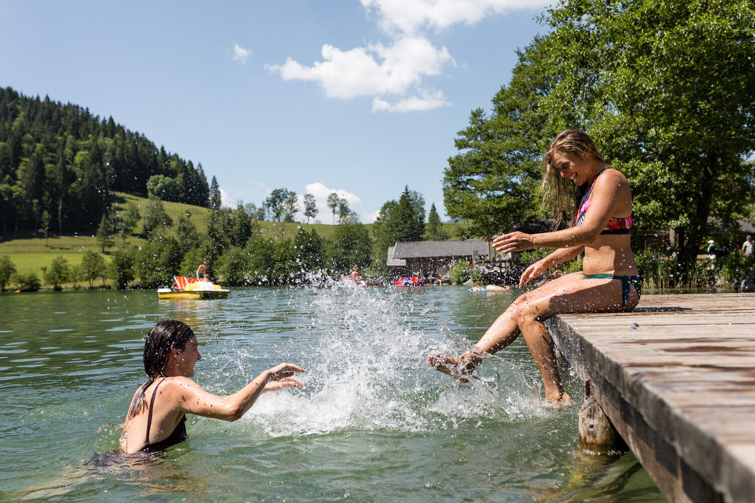
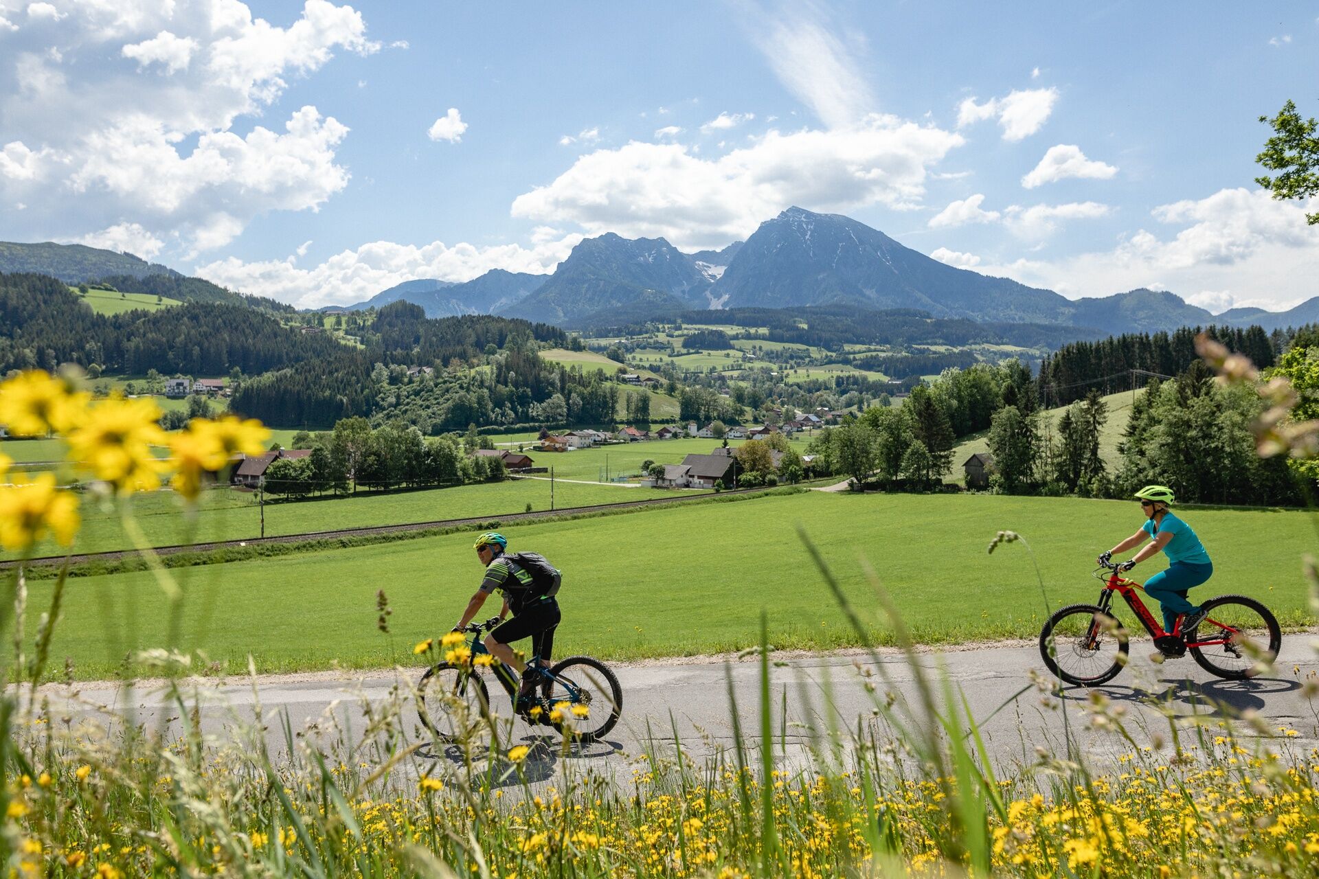
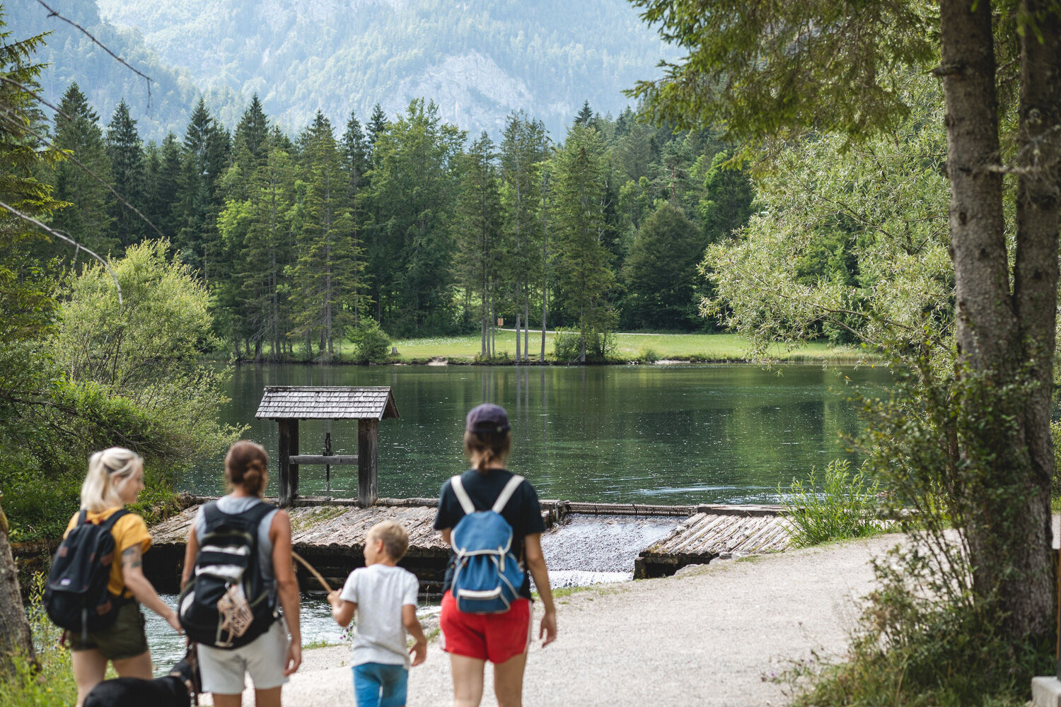
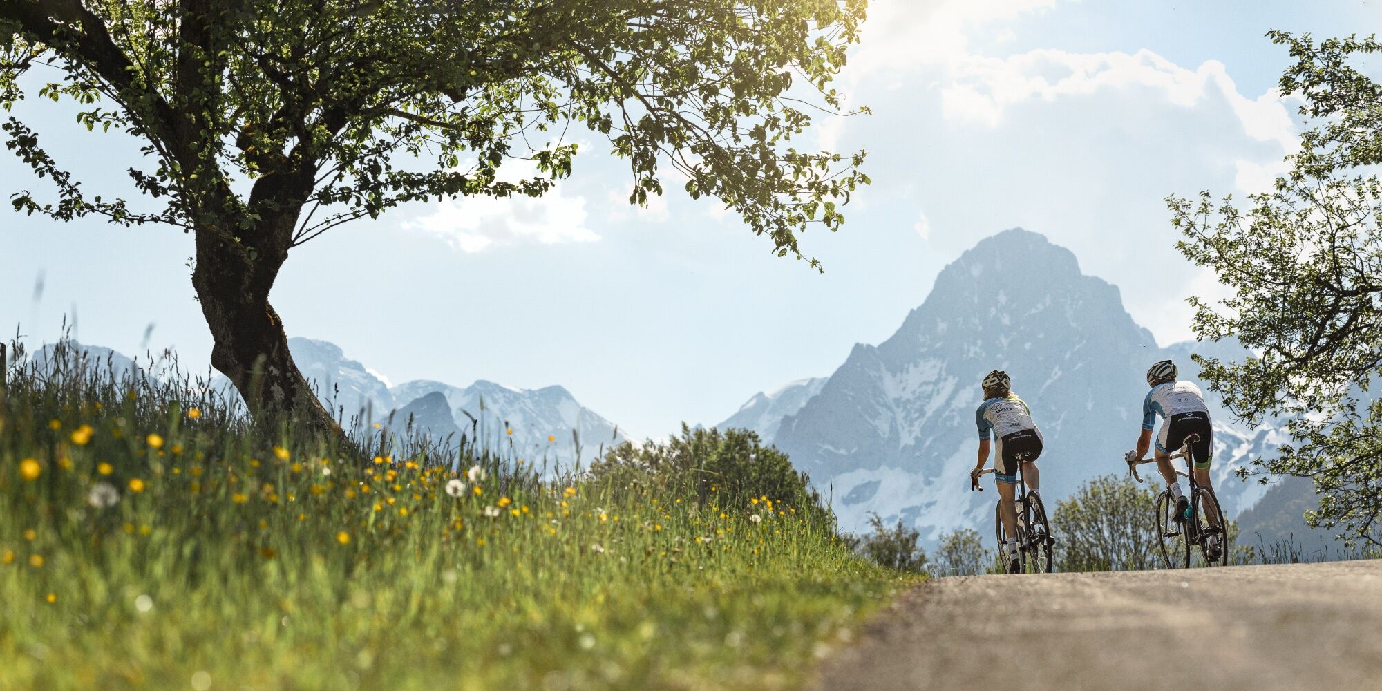

From Windischgarsten you cycle via Edlbach to Spital am Pyhrn (R31), from the center of Spital am Pyhrn follow the R31 towards St. Pankraz; At the former Gasthaus Schlagedl, turn left and follow the R311 (Pyhrn-Priel Panorama) towards Gleinkersee. Via Vorderstoder you get to the World Cup town Hinterstoder. Here you drive to Baumschlagerreith at the end of the valley and on the way back you go to the most beautiful place in Austria, the Schiederweiher (detour on foot).The best thing to do is stay one more night and enjoy the many leisure activities in Hinterstoder, because there is also a lot to do here in spring, summer and autumn! The next day it's about 75 km back to Steyr.Bike-friendly businesses in the Traunviertel cycling regionThe destinations Steyr and the National Park Region, Bad Hall, Traunsee-Almtal and Pyhrn-Priel have come together under the name “Radregion Traunviertel”. Numerous qualified and labeled "bicycle-friendly businesses" offer special overnight accommodations with tools for minor repairs, lockable bicycle rooms and sufficient information material on the subject of cycling in the Traunviertel cycling region.
Under MY RECOMMENDATIONS you can find our BIKE-FRIENDLY ACCOMMODATION OPERATIONS on the tour.
Bike shuttle bus
The route between Steyr and Spital am Pyhrn can also be comfortably covered with the bike shuttle bus! In this way, the sights along the route can be enjoyed particularly comfortably - and there is also enough time for one or the other cultural or culinary excursion. The bike shuttle runs from the end of May to the end of September on Saturdays, Sundays and public holidays (mornings). You can find the current departure times and stops at www.steyr-nationalpark.at. Attention: This service must be booked in advance via the website!
Nostalgia insider tip!
Cycle part of the Steyrtal cycle route R 8 (20 km) from Grünburg to Steyr with the Steyrtal museum train! The old steam locomotive runs on the weekends from June to September - bike transport is free!
E-bike rental
You can rent e-bikes in Steyr, Grünburg, Reichraming, Windischgarsten, Spital / Pyhrn, Hinterstoder, Roßleithen, Bad Hall, Grünau and Gmunden. You can get more information from your "bicycle-friendly accommodation company" and our guest relations staff at the tourist information points, who will also be happy to reveal some of the "secret spots" and are at your side with advice and action.
www.steyr-nationalpark.at / www.traunsee-almtal.at / www.badhall.at / www.urlaubsregion-pyhrn-priel.at / www.oberoesterreich.at
Remember sun and rain protection and up-to-date maps.
Before starting your bike tour, find out about any current construction or renovation work along the bike path!
www.steyr-nationalpark.at
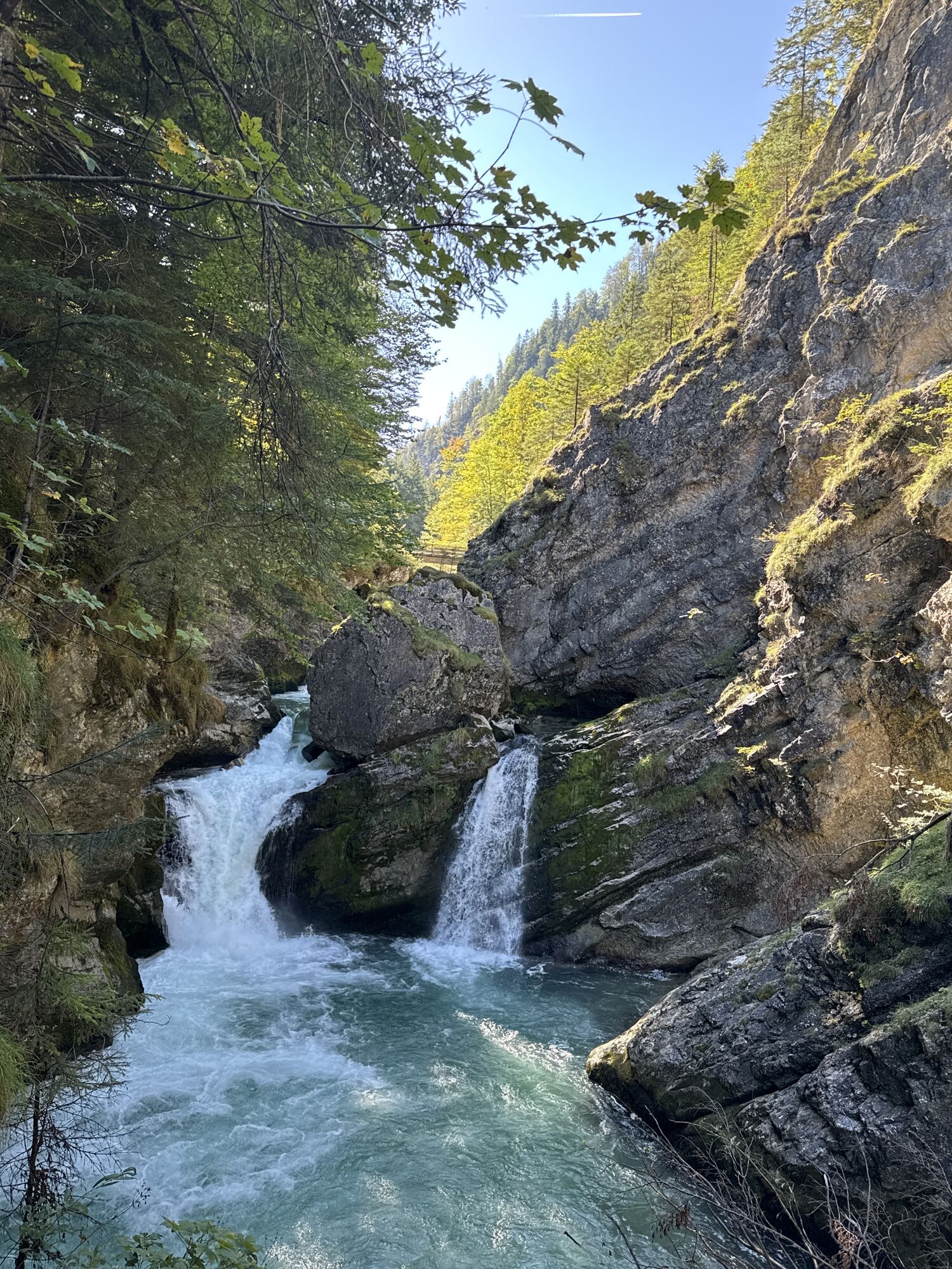
Enjoy the wonderful landscape of the Pyhrn-Priel Holiday Region and be sure to make a detour on foot to the Pießlich origin and Steyr origin!
Webové kamery z prohlídky
-
Bergstation Hössbahn
-
Gammering - Hahnlgraben
-
Bergstation Hössexpress
-
Bergstation Hirschkogelbahn
-
Gammering - Hahnlgraben
-
Bergstation Wurzeralm 2
-
Bergstation Wurzeralm 2
-
Bergstation Wurzeralm 2
-
Bergstation Wurzeralm 2
-
Bergstation Wurzeralm 2
-
Bergstation Wurzeralm 2
-
Bergstation Hirschkogelbahn
-
Bergstation Hirschkogelbahn
-
Bergstation Hirschkogelbahn
-
Panoramalift Tal - Startplatz West
-
Panoramalift Tal - Startplatz West
-
Zellerhütte - Vorderstoder
-
Steyrling
-
Bergstation Wurzeralm 2
-
Bergstation Wurzeralm 2
-
Spital am Pyhrn / Genussstubn
-
Trattenbacher GenussStubn

Oblíbené prohlídky v okolí
-
5.0
RundWanderWelt Hinterstoder - Polsterlucken-Runde
Turistika 3.94 km -
4.5
Spital am Pyhrn: Wurzeralm - Dümlerhütte - Rote Wand
středníTuristika 10.1 km -
4.3
Wurzeralm NaturErlebnisWelt - 2 Millionen Jahren in 2 Stunden
Turistika 6.09 km -
4.7
Bergwanderung auf den Spering
středníTuristika 7.50 km -
4.9
Nazogel und Angerkogel
středníTuristika 10.9 km -
4.8
6-Seen-Wanderung auf der Tauplitzalm
středníTrailrunning 14.8 km -
4.7
Pießling Ursprung
Turistika 1.13 km -
4.3
Rund um den Gleinkersee
Turistika 1.70 km -
4.2
Dolomitensteig
heavyTuristika 9.29 km -
4.0
Vorderstoder - Zellerhütte
středníTuristika 11.1 km
Pěší turistika a stopování


Nenechte si ujít nabídky a inspiraci pro vaši příští dovolenou
Vaše e-mailová adresa byl přidán do poštovního seznamu.





