







Traunviertel Tour - Stage 5

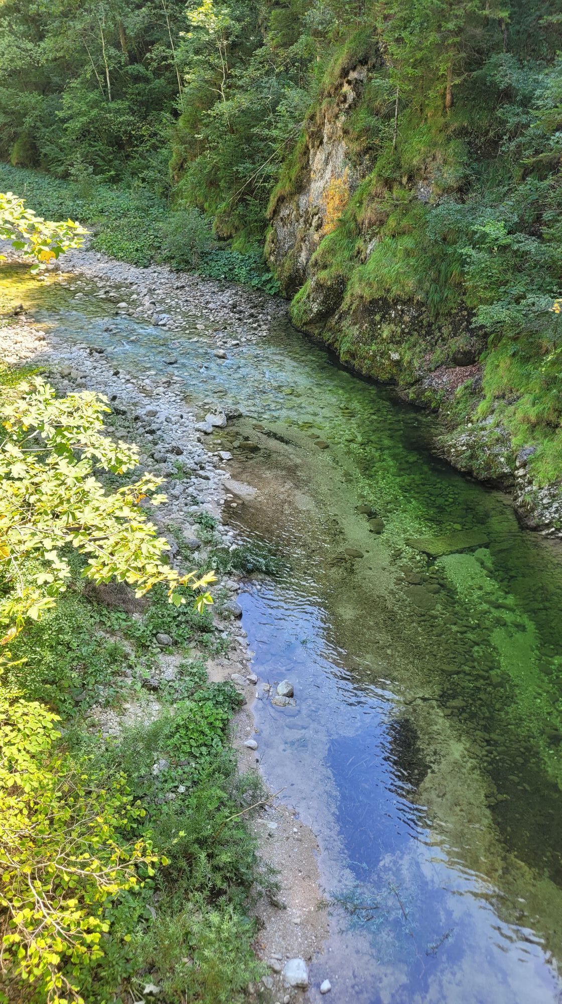
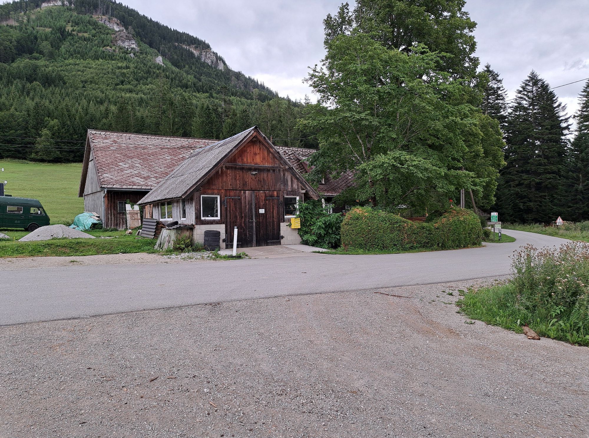
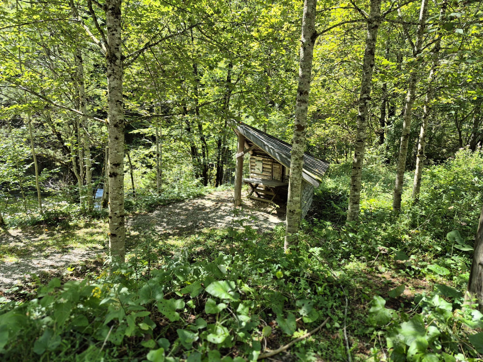
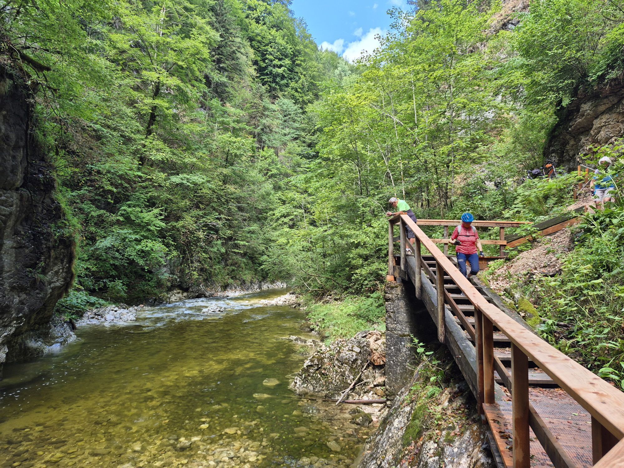
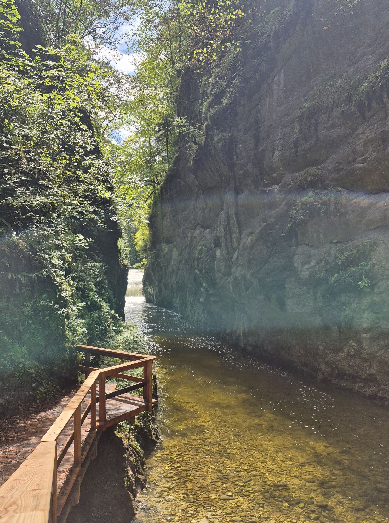
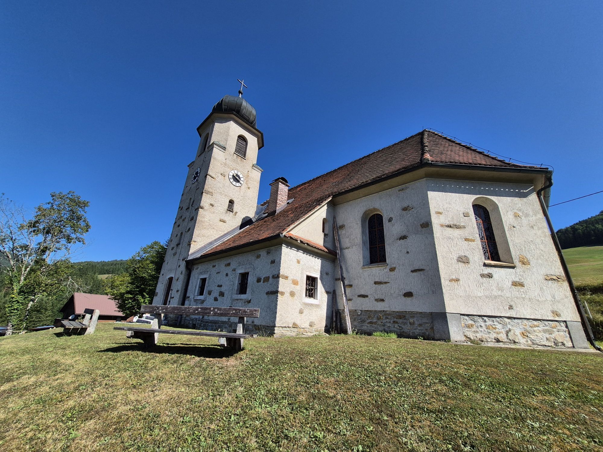
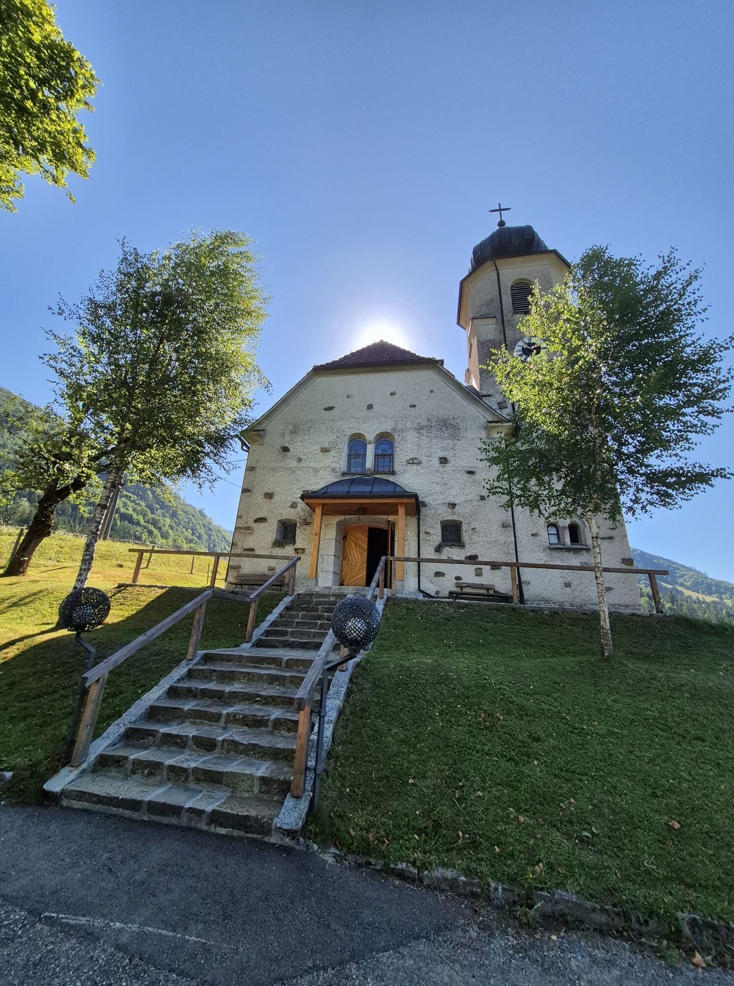
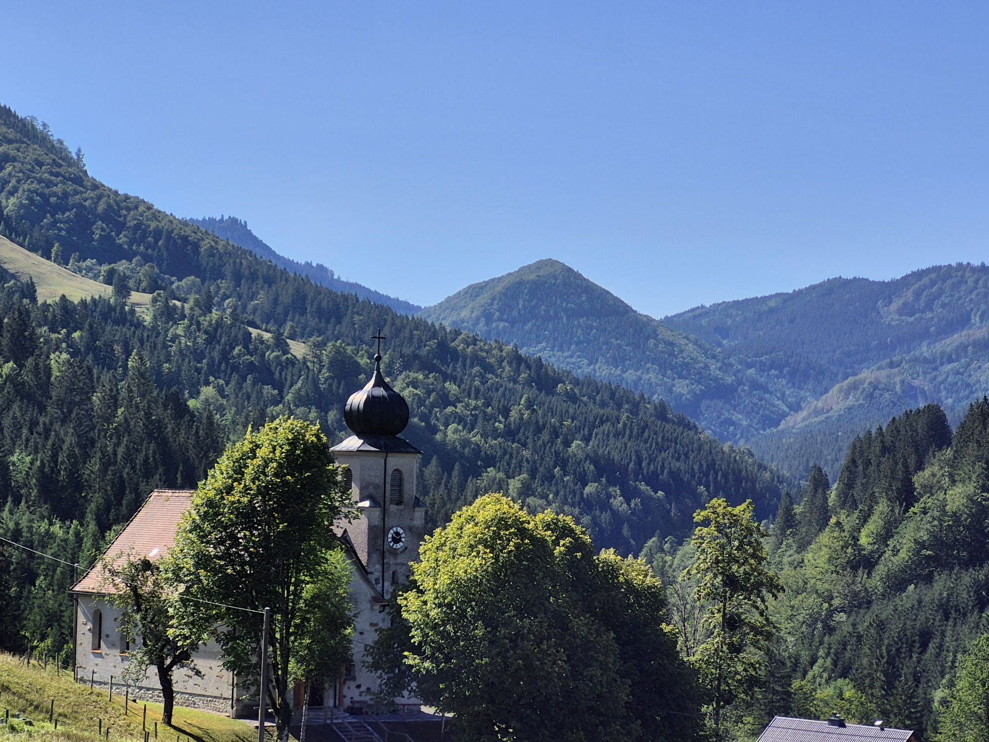
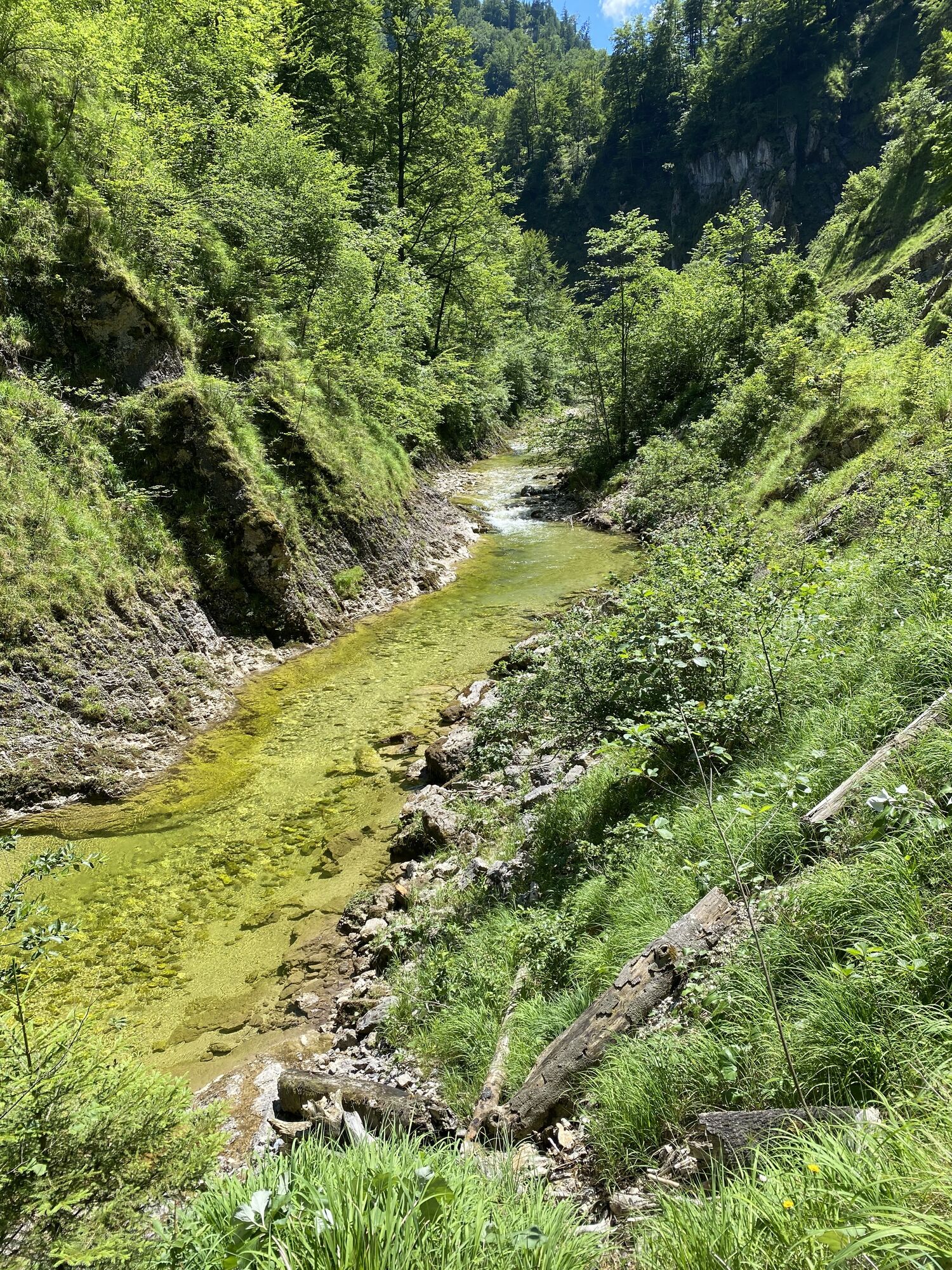
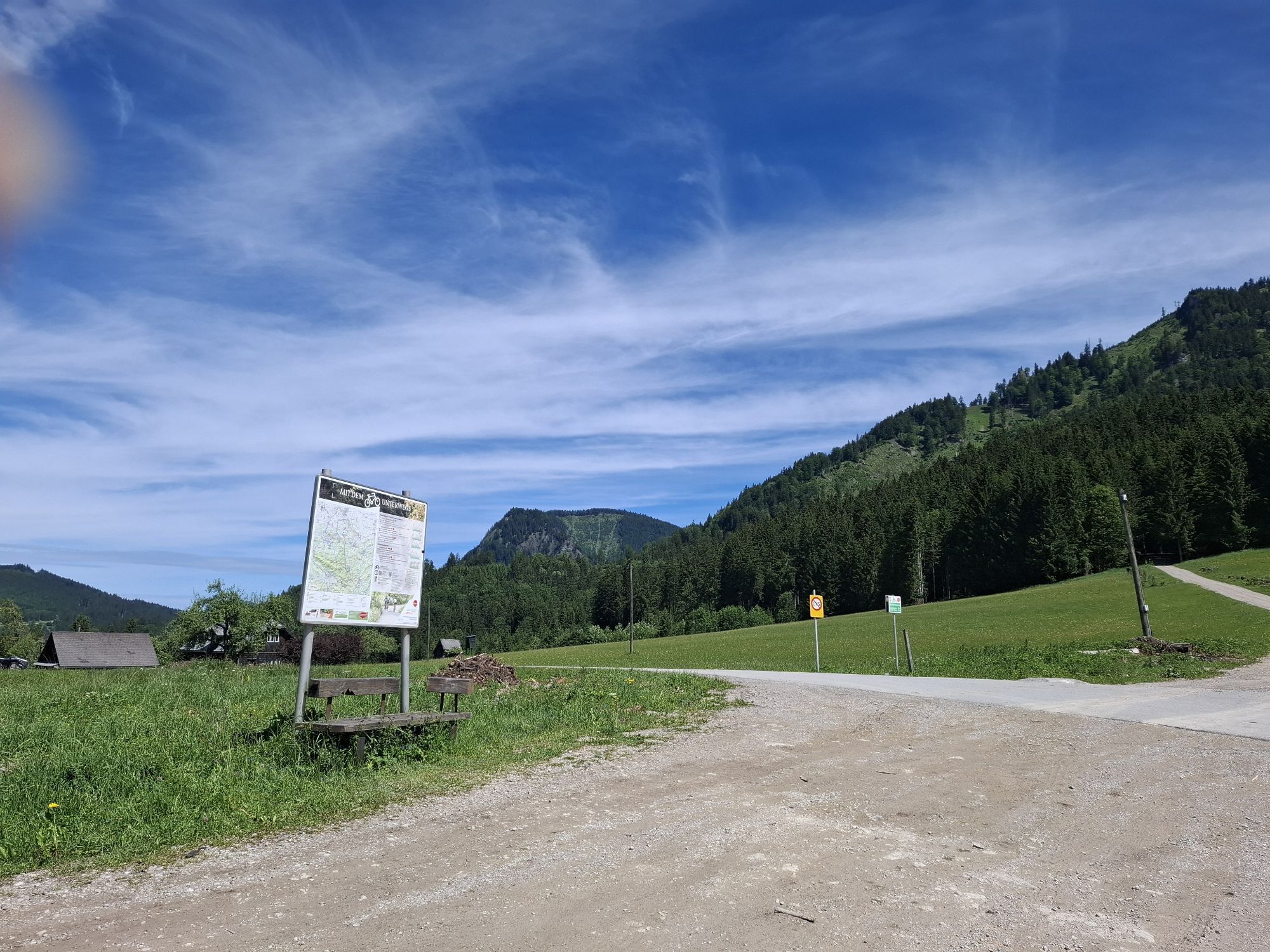
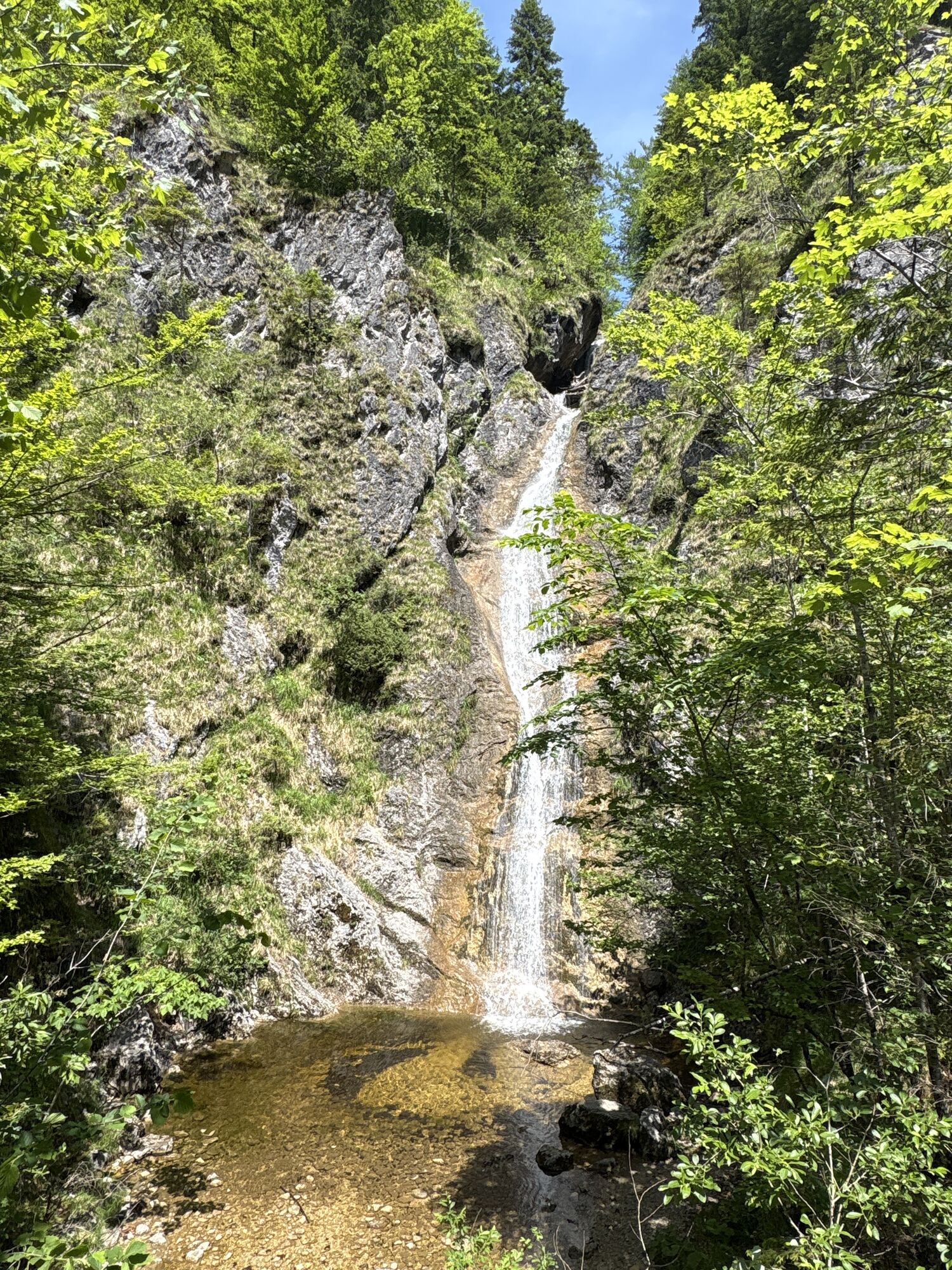
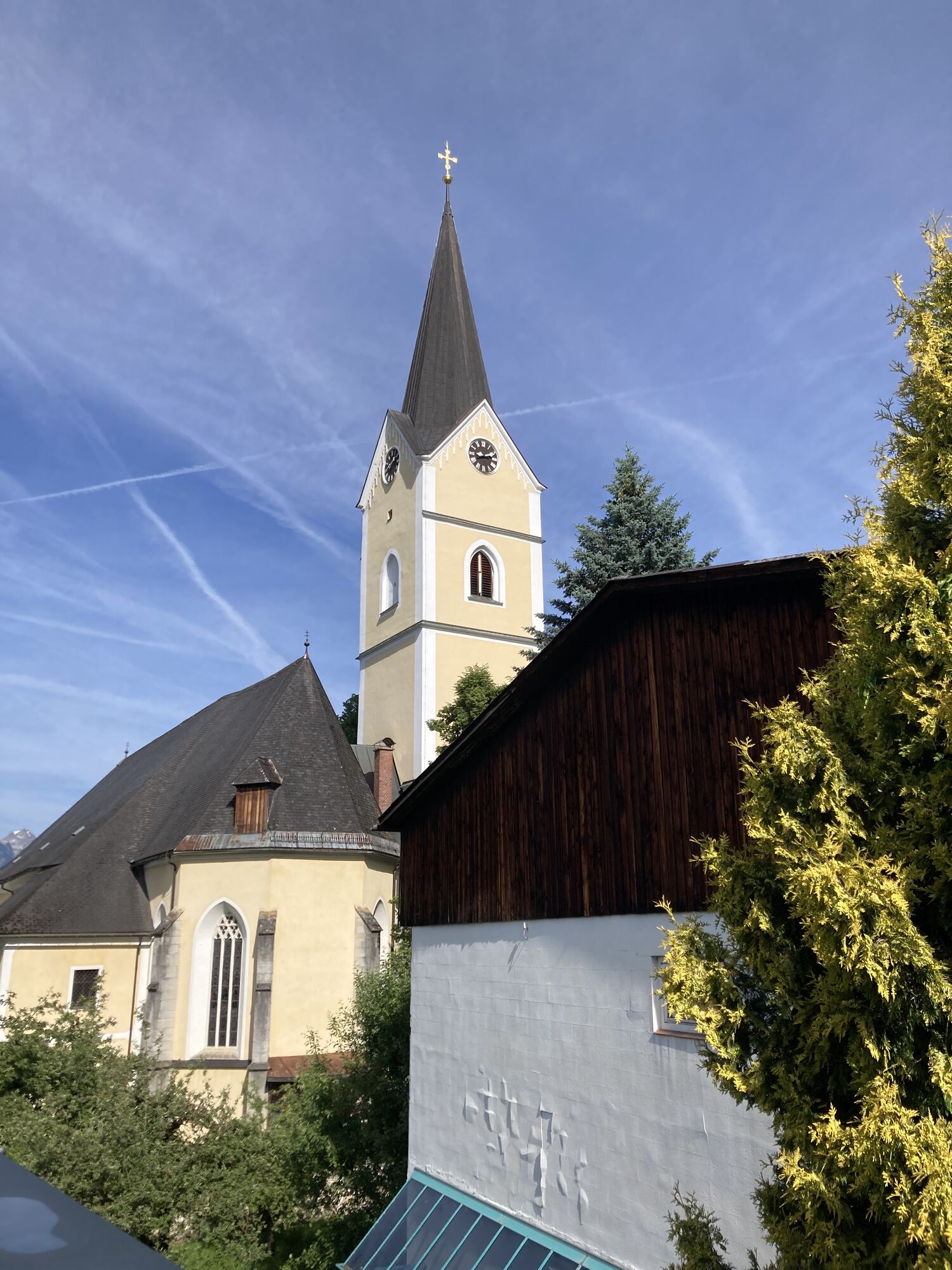
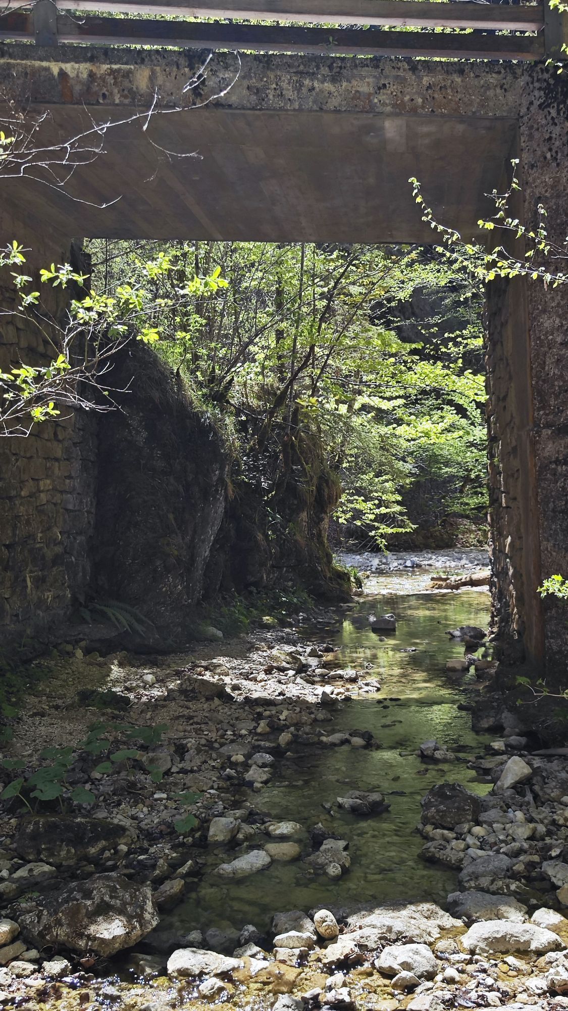
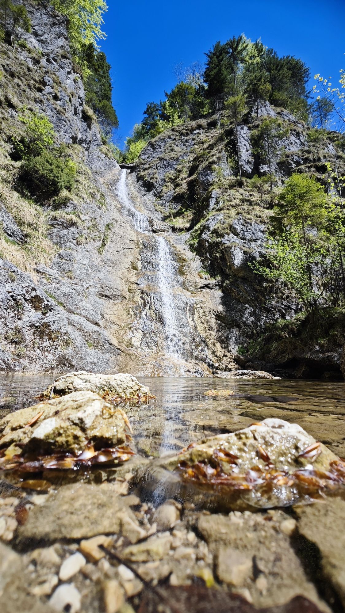
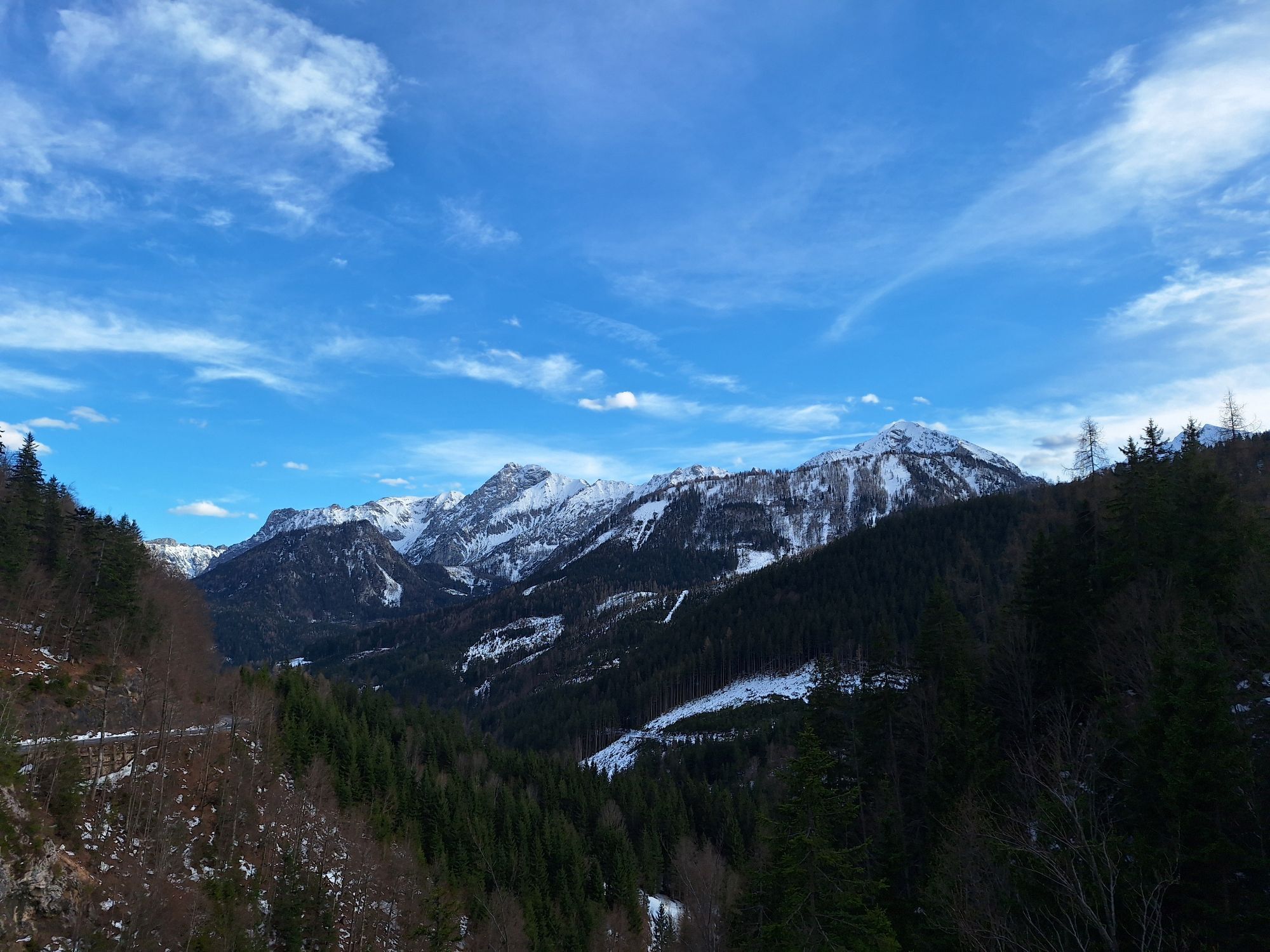
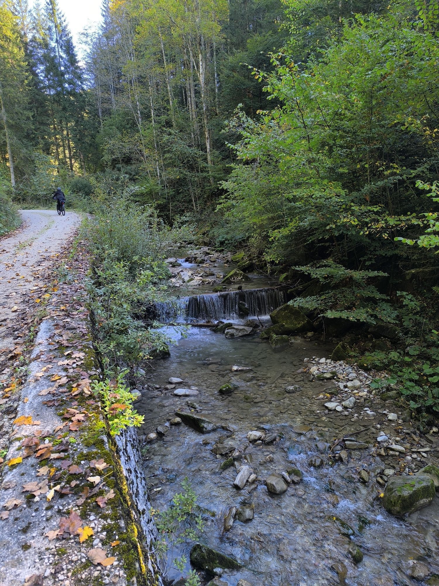
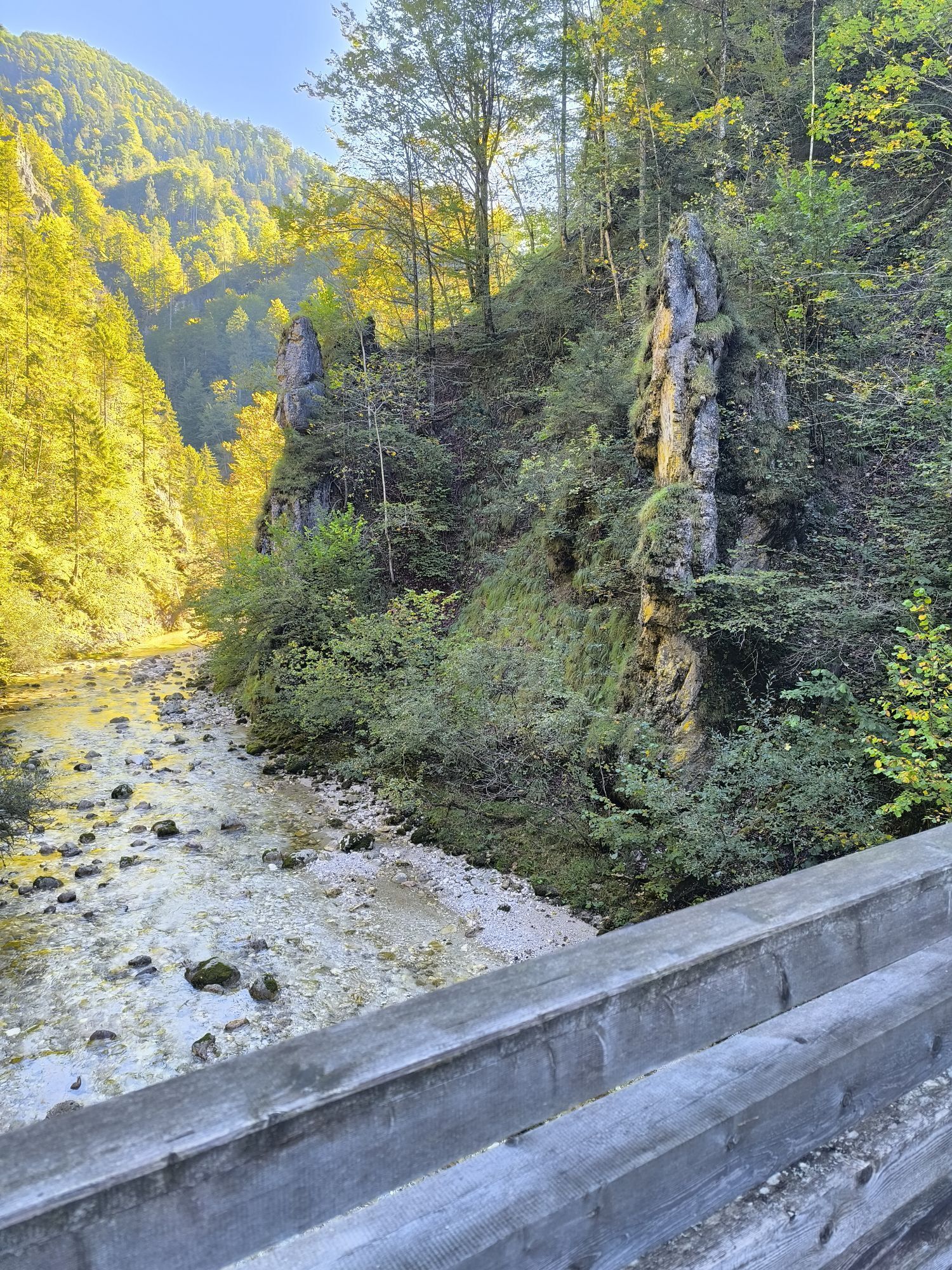
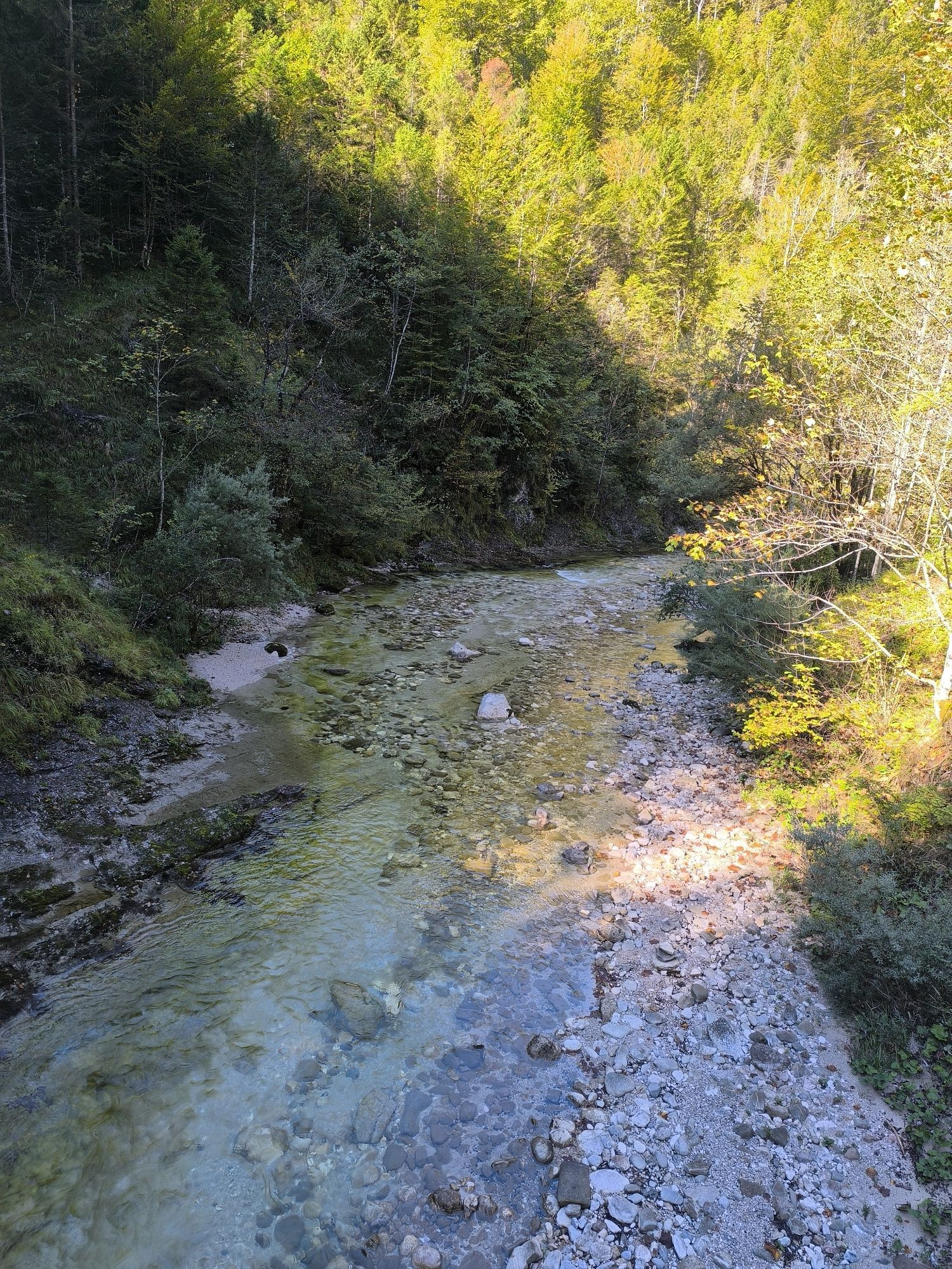

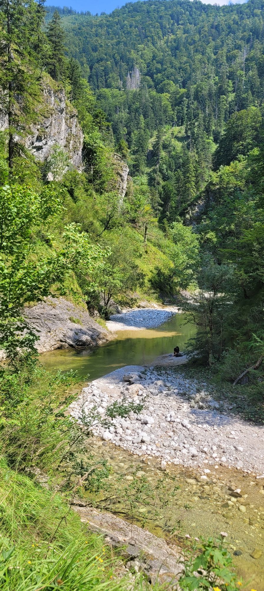
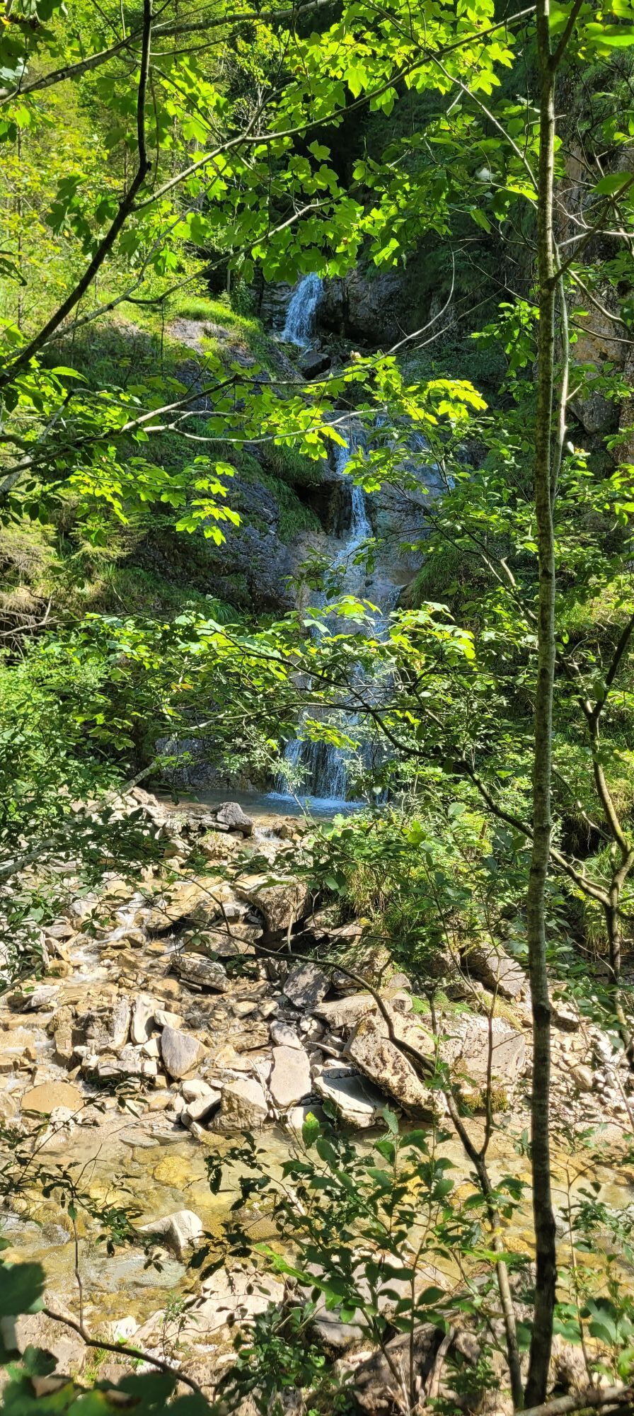
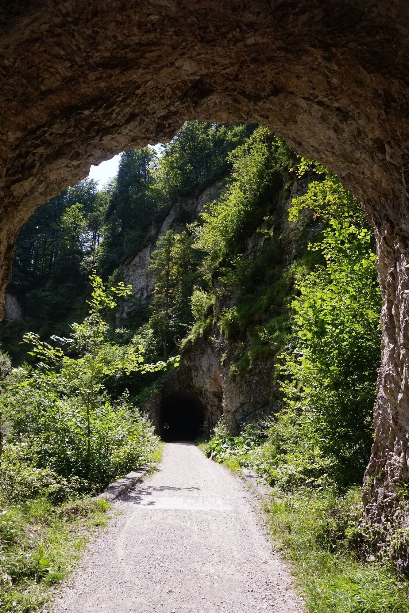
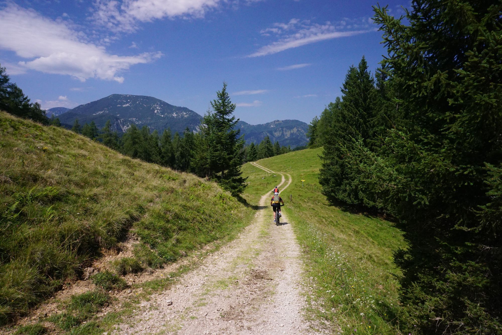
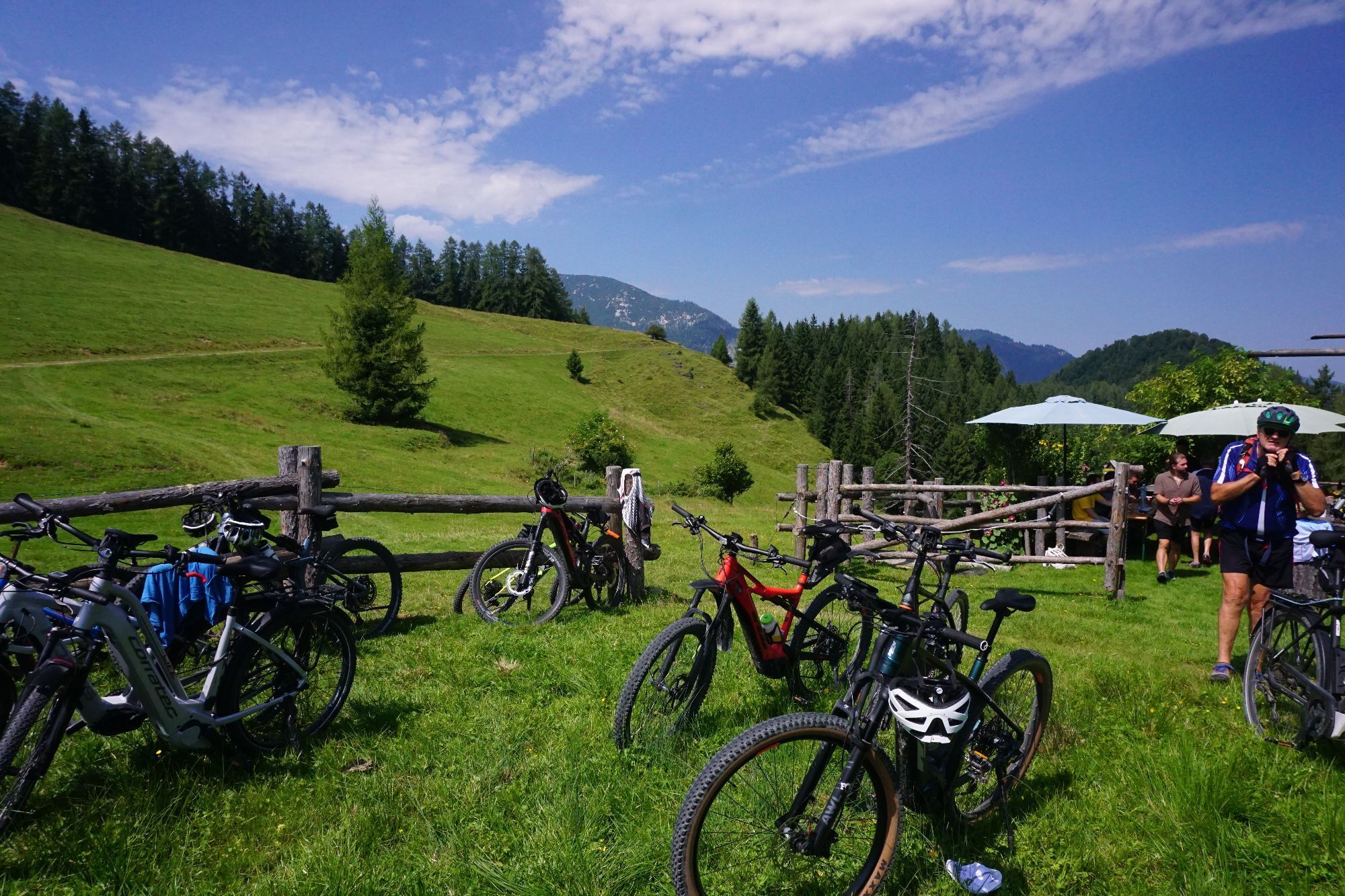
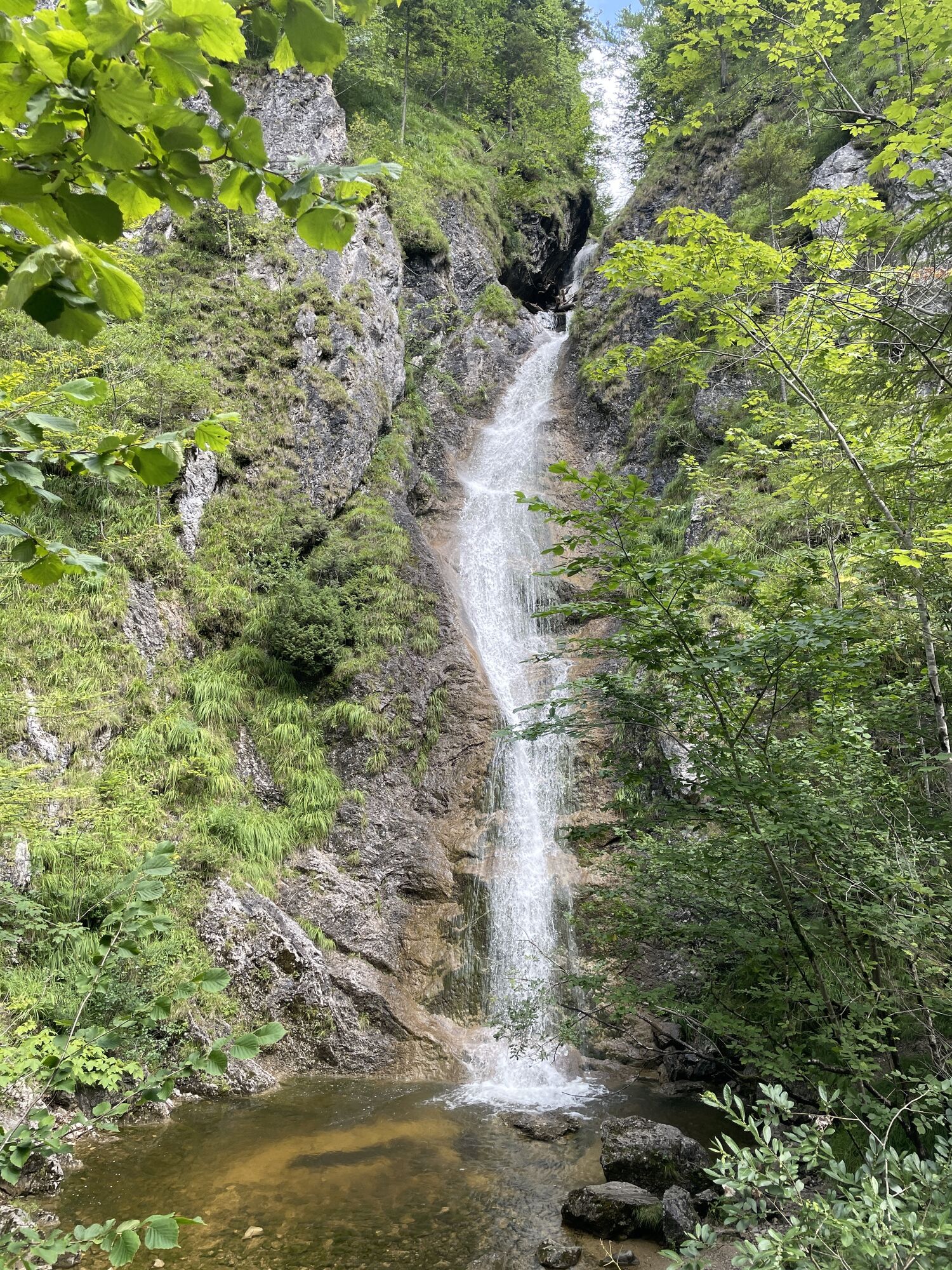
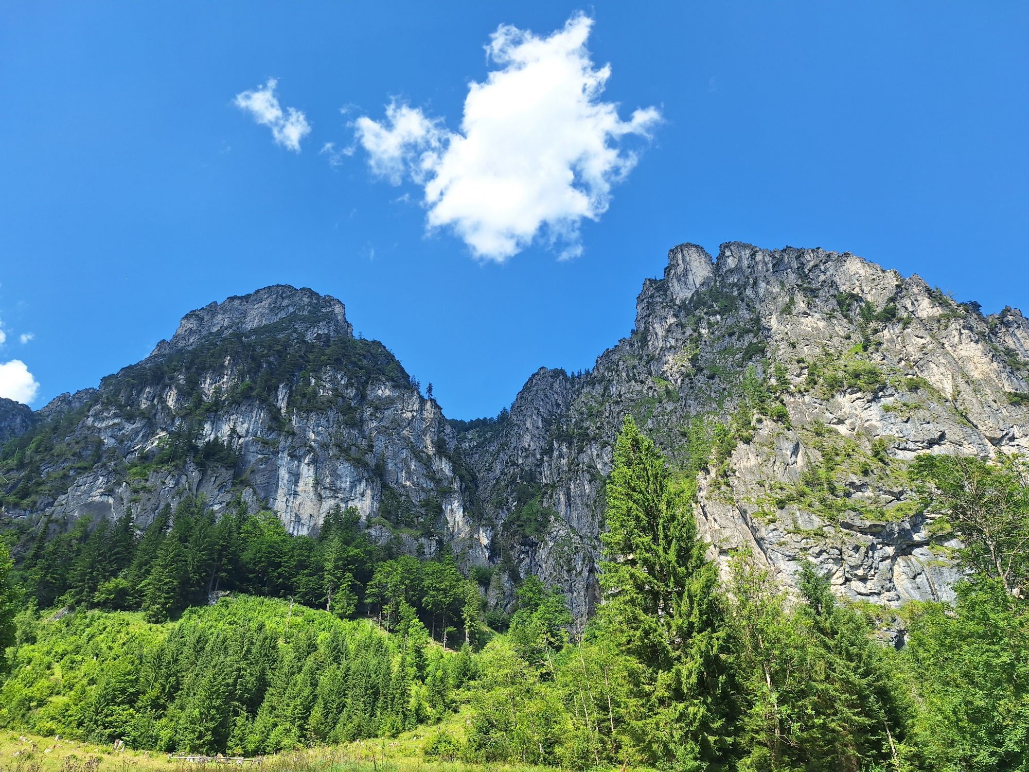
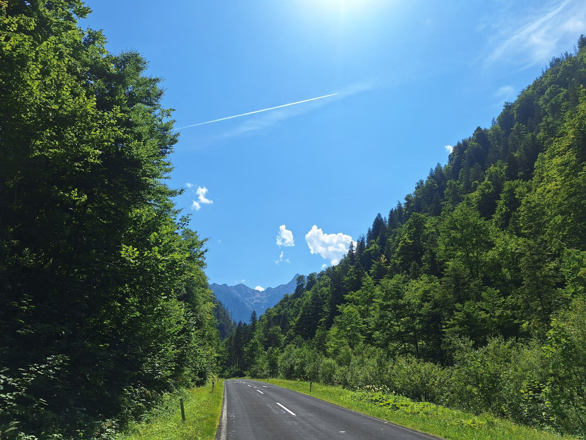
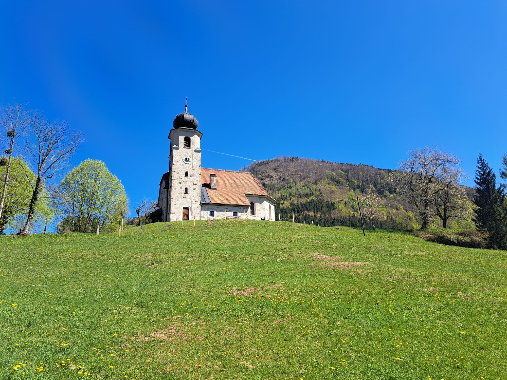
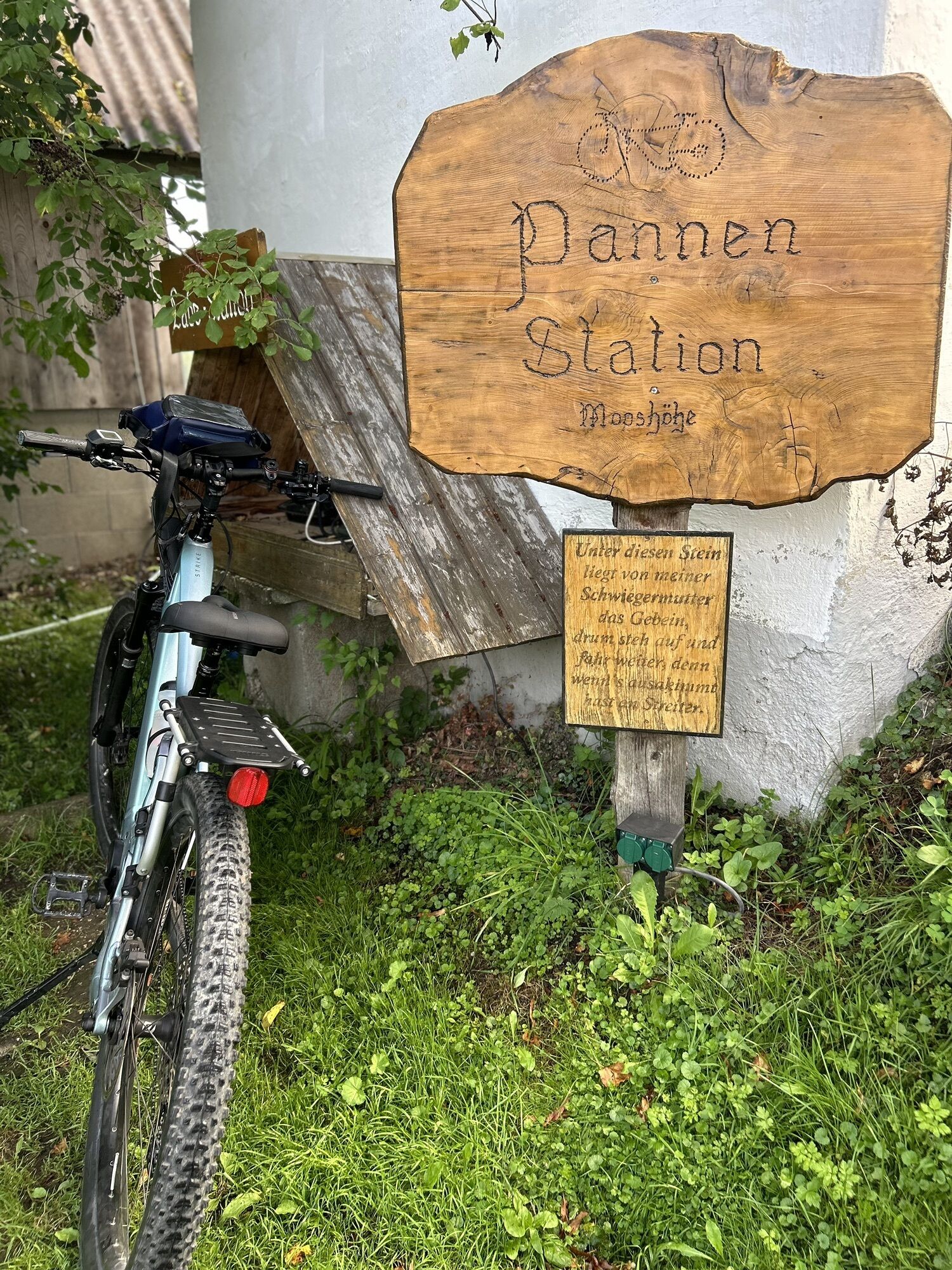
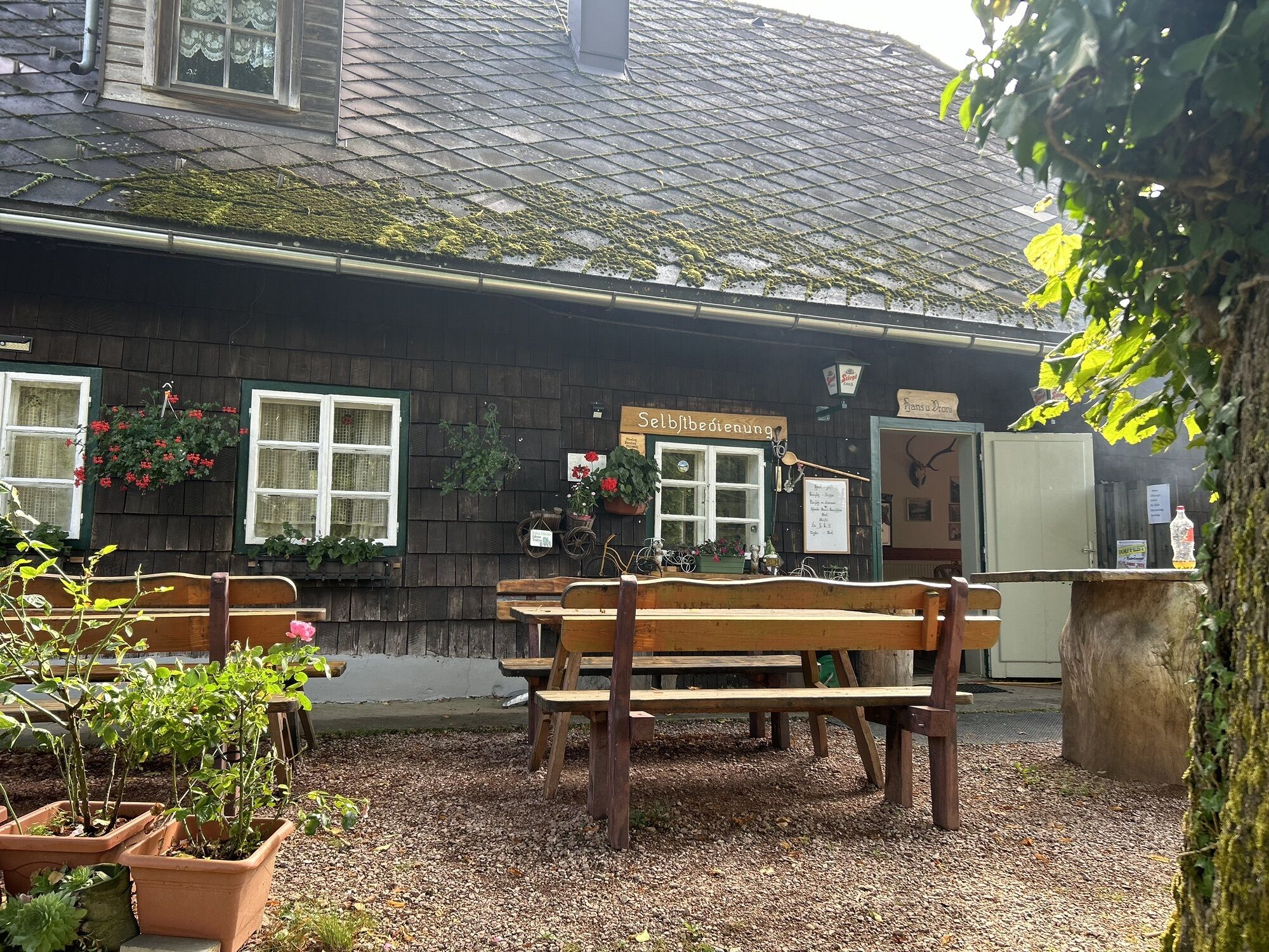
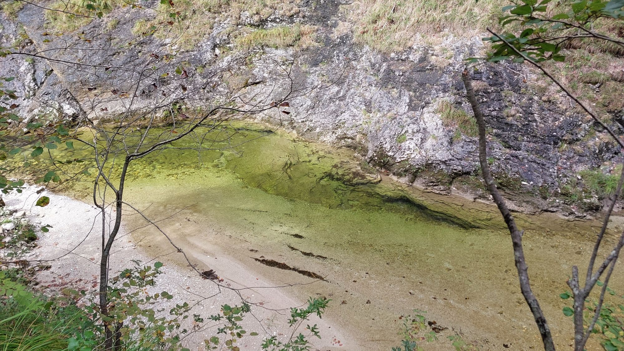
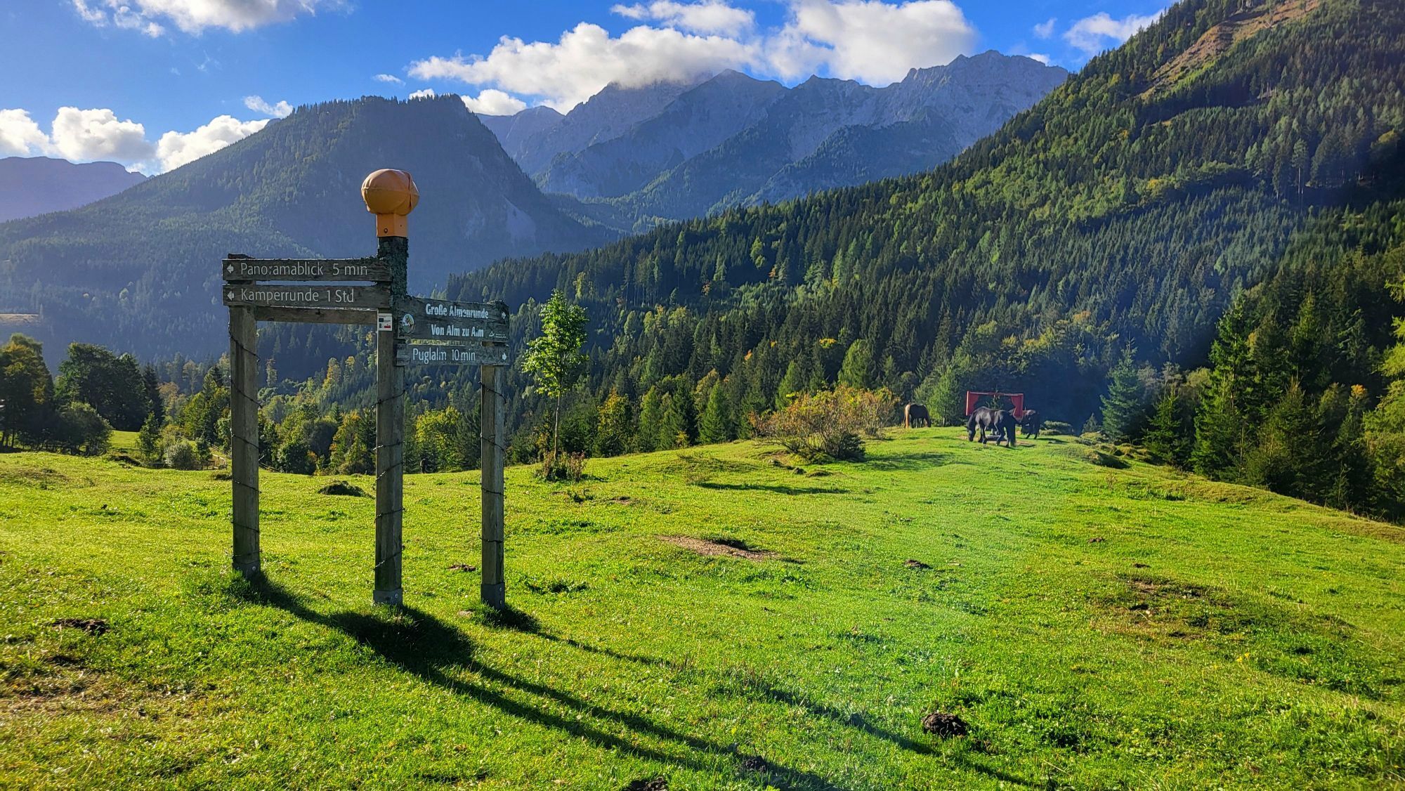
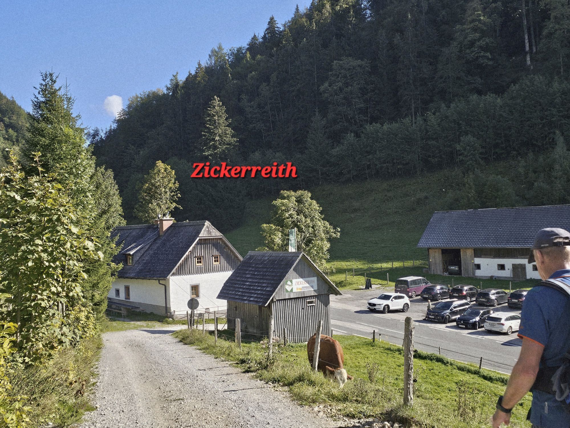
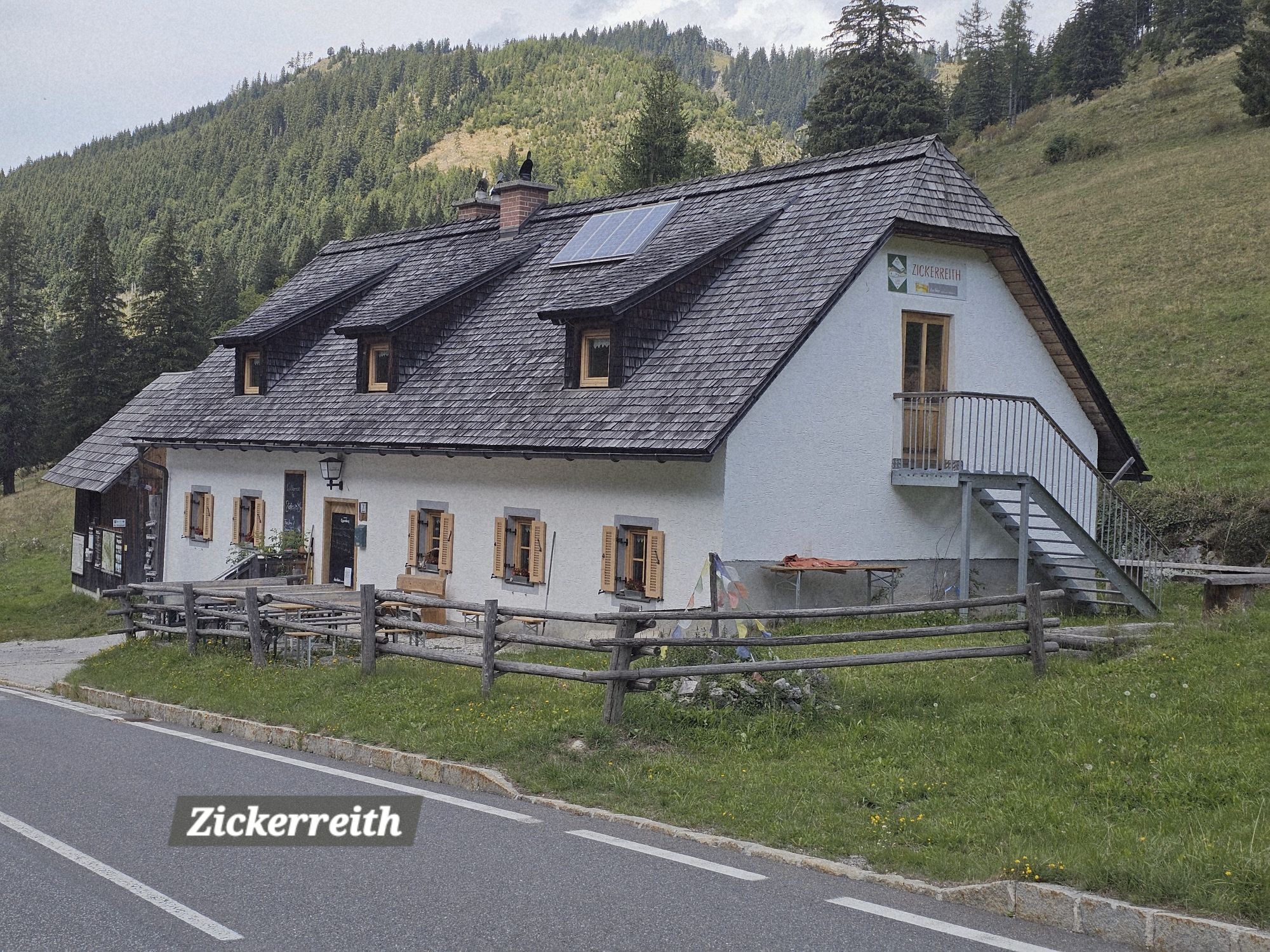
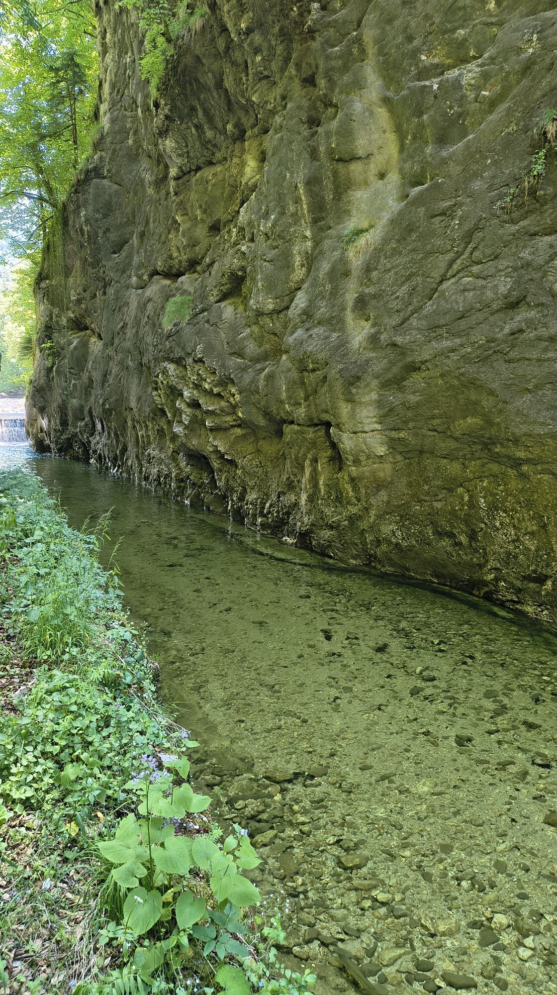
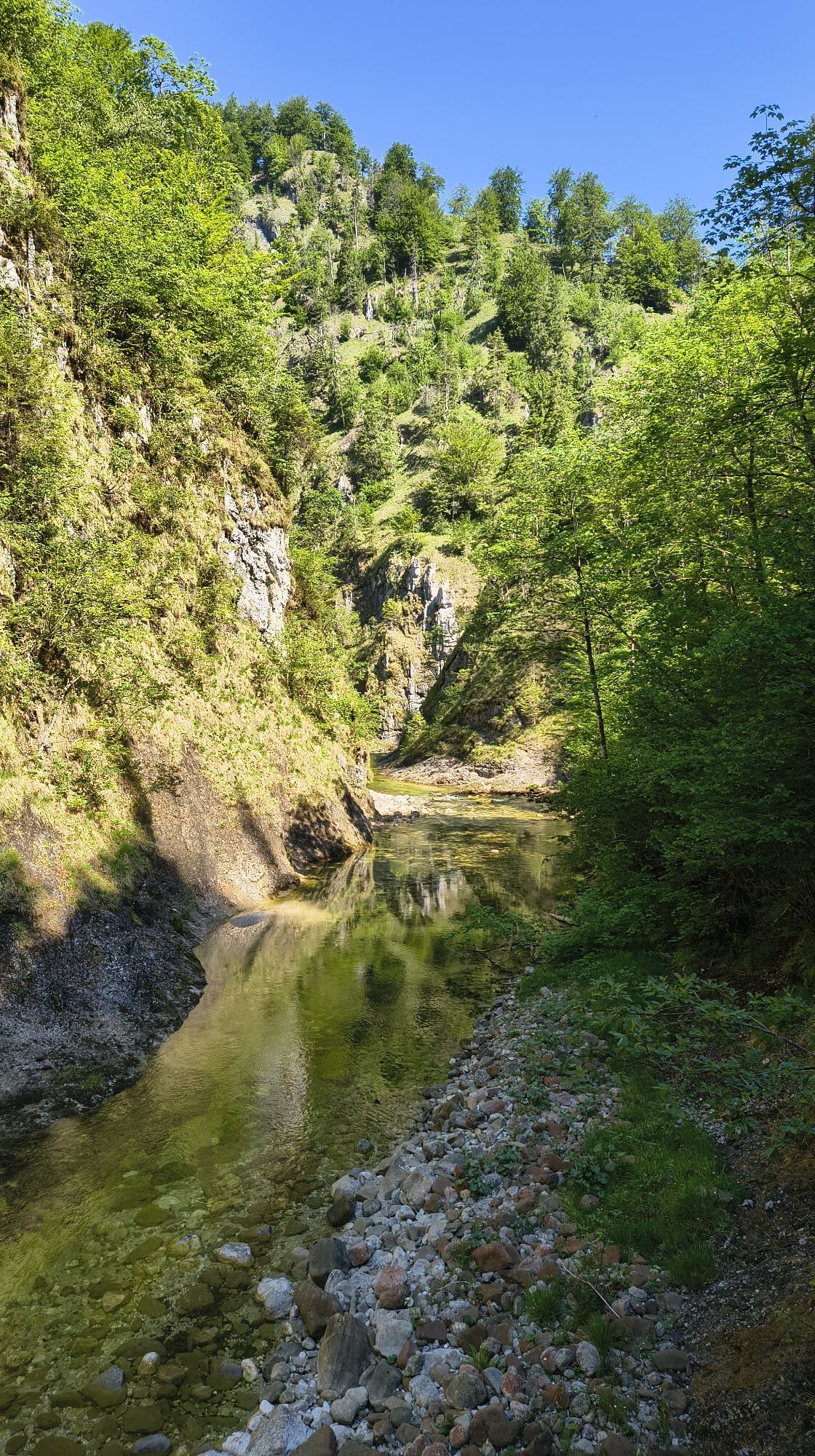
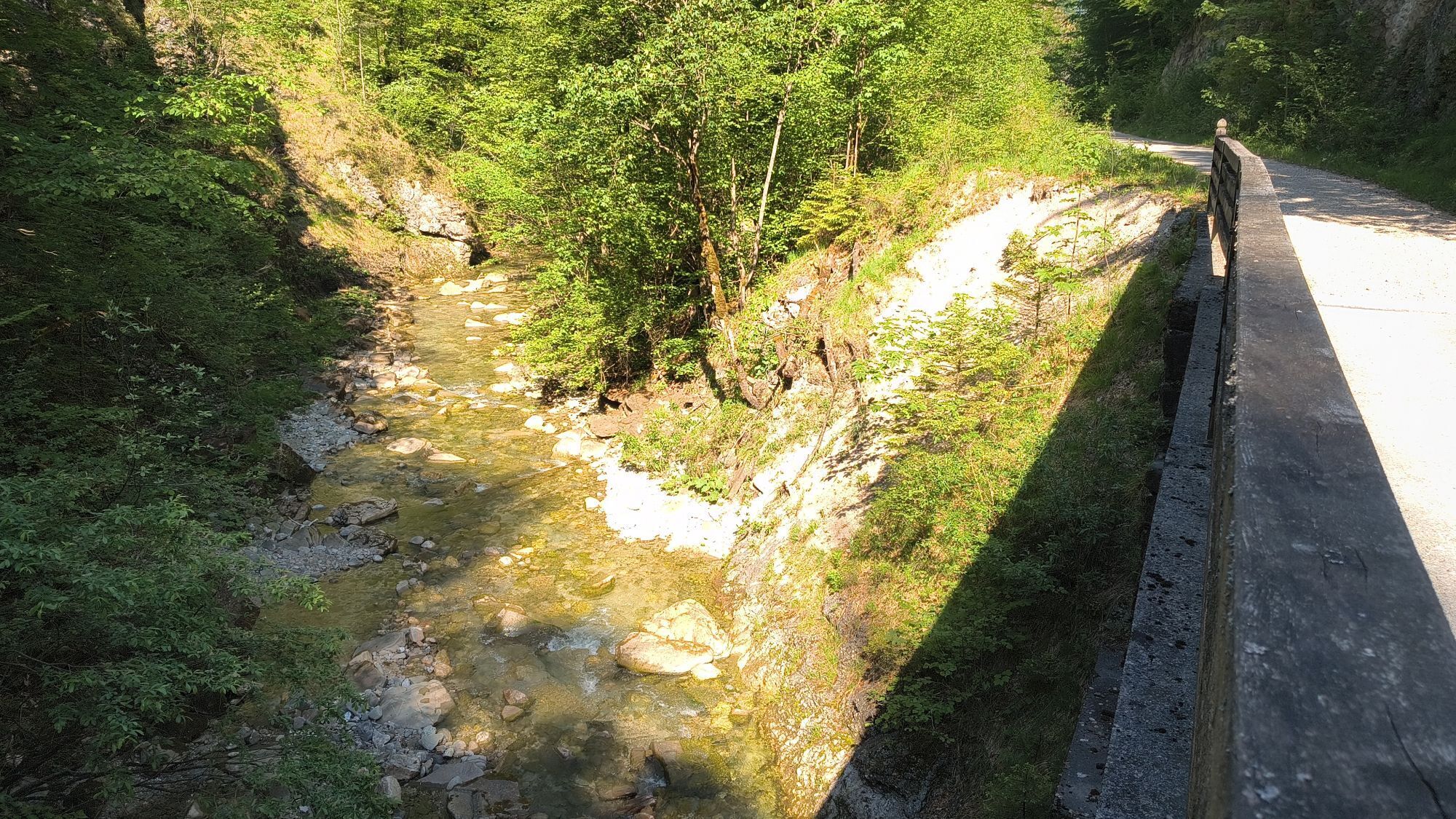
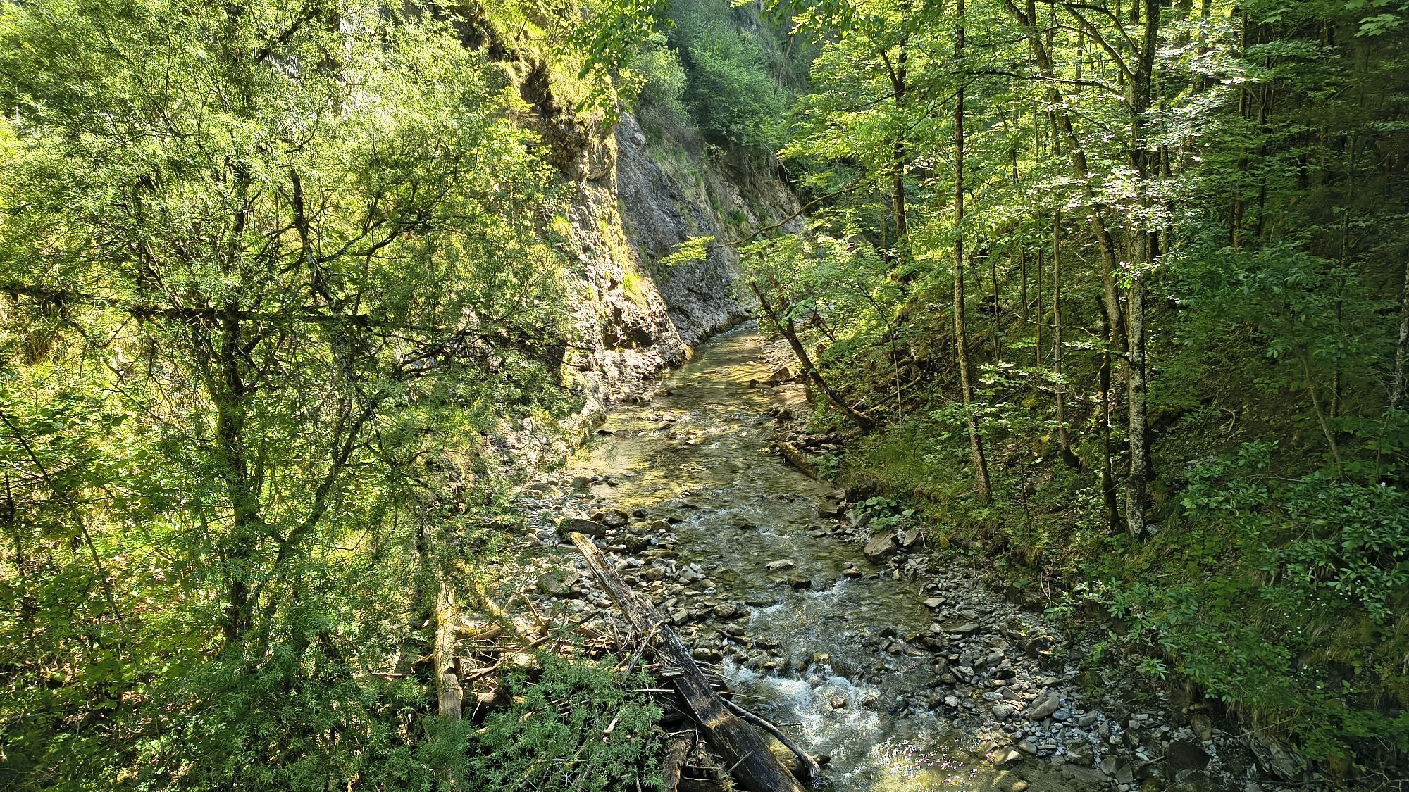
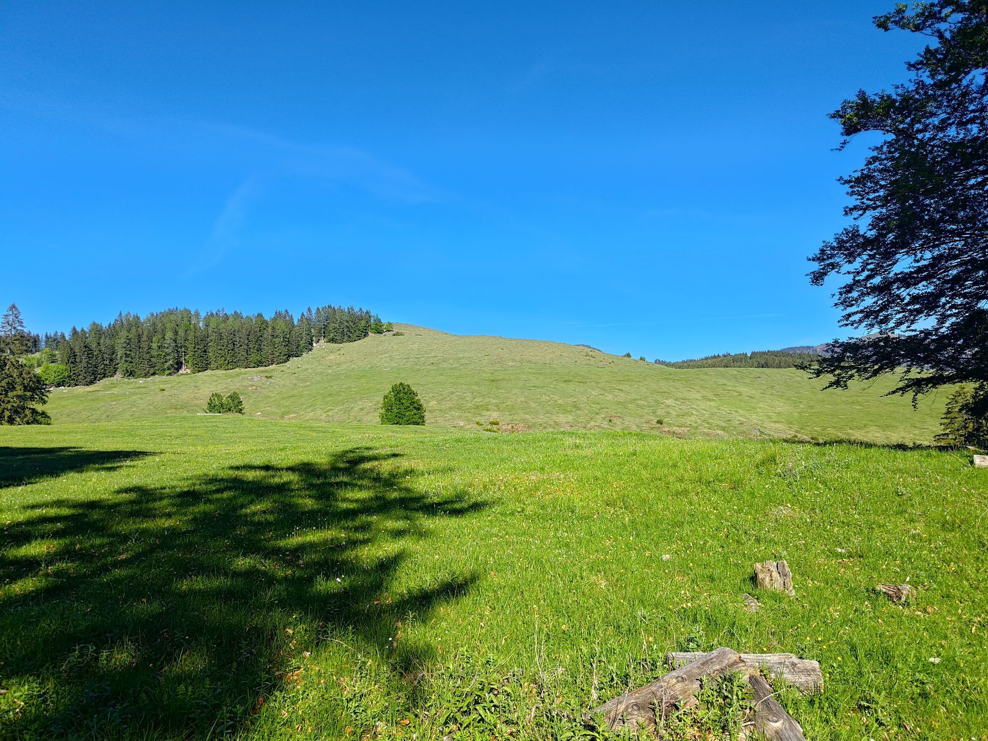
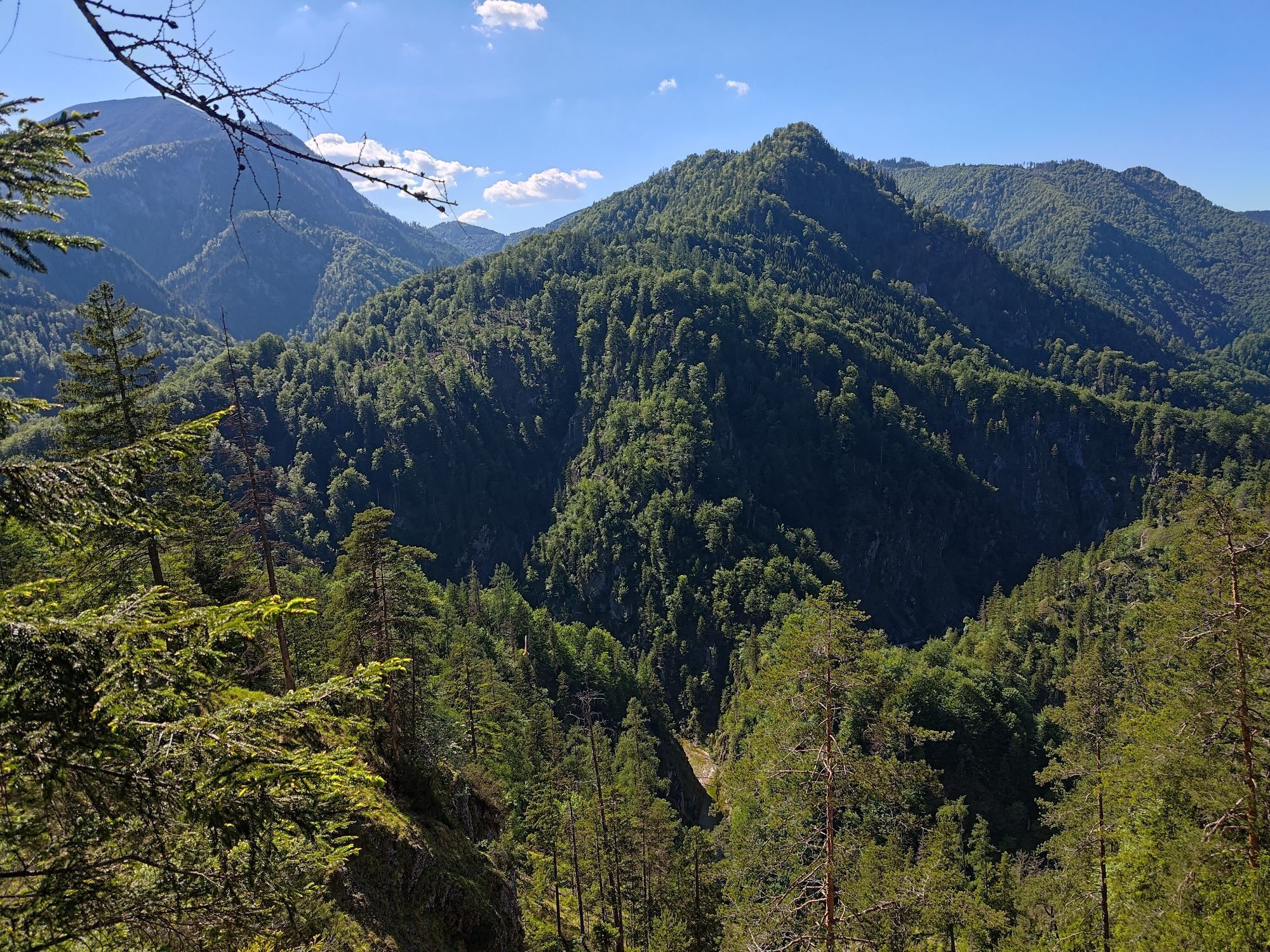
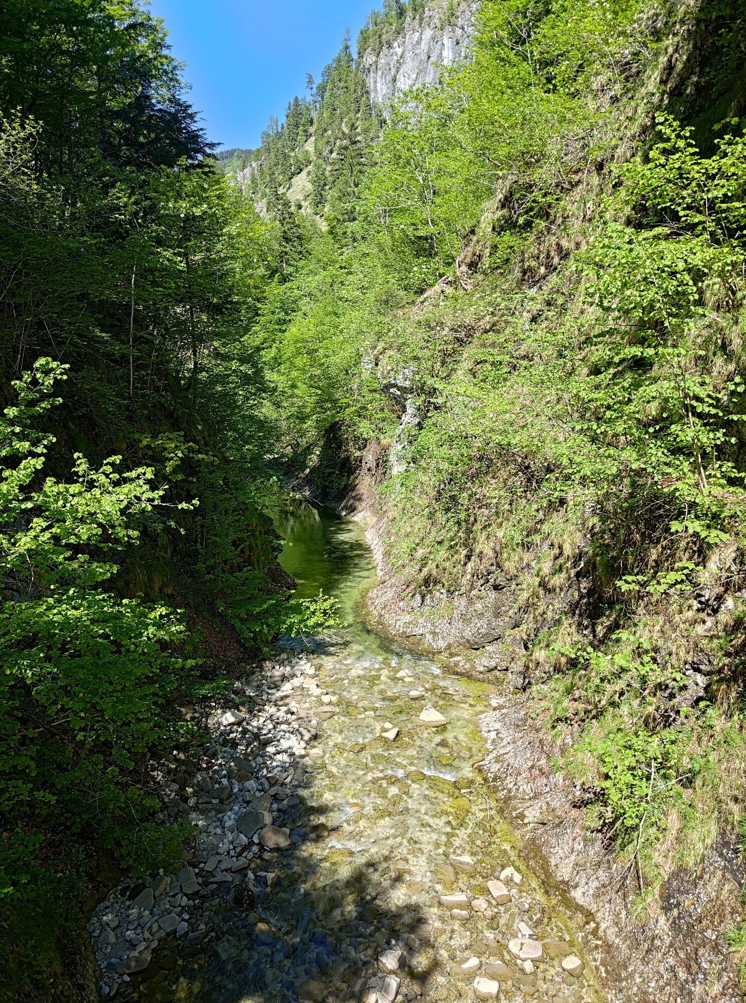
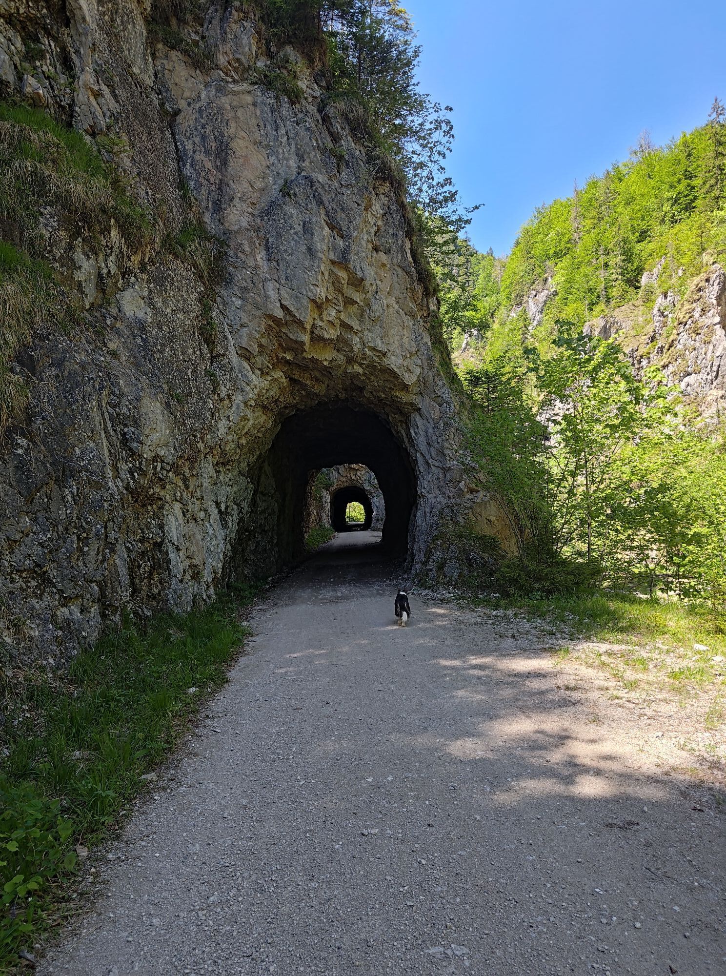
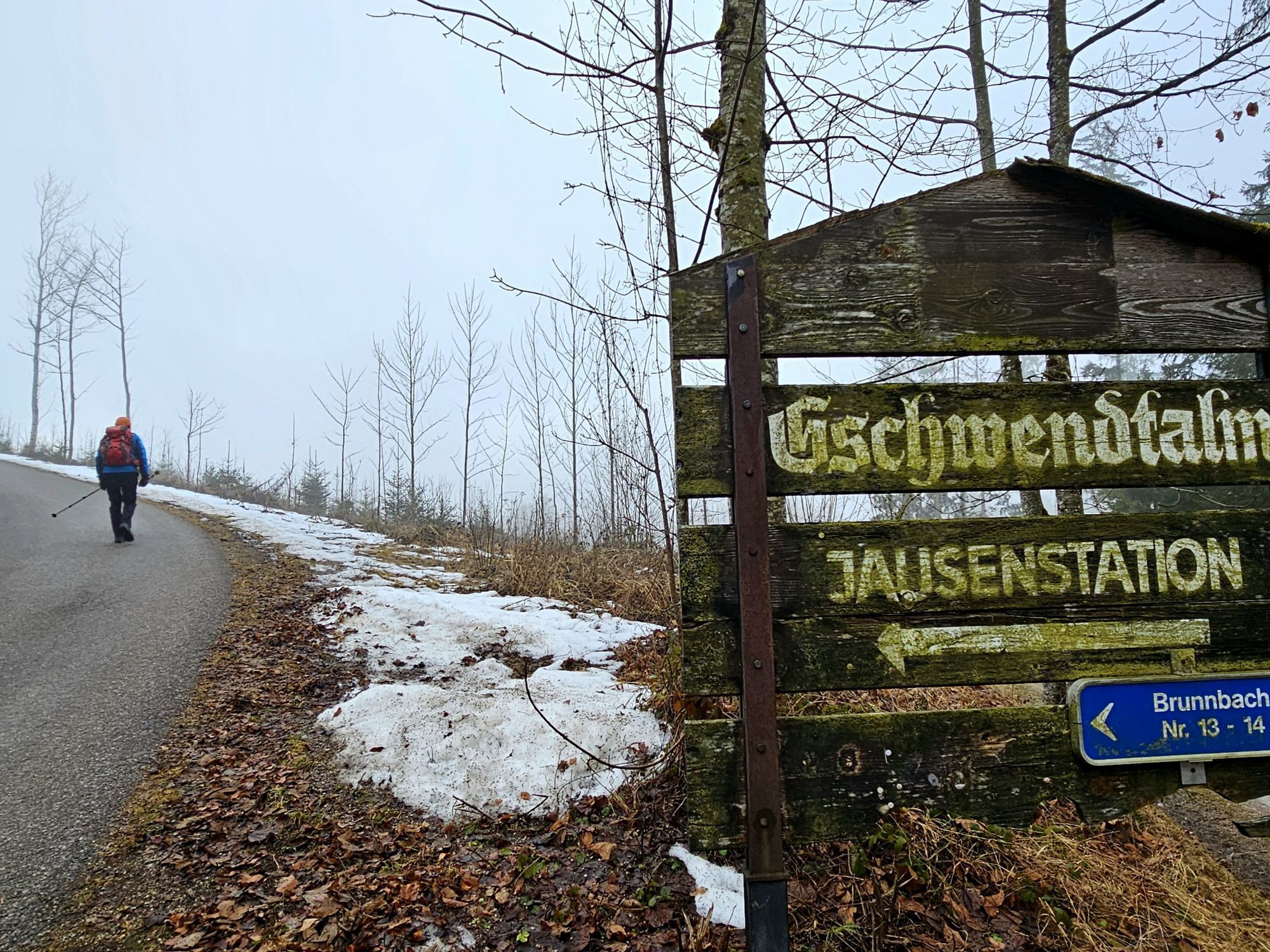
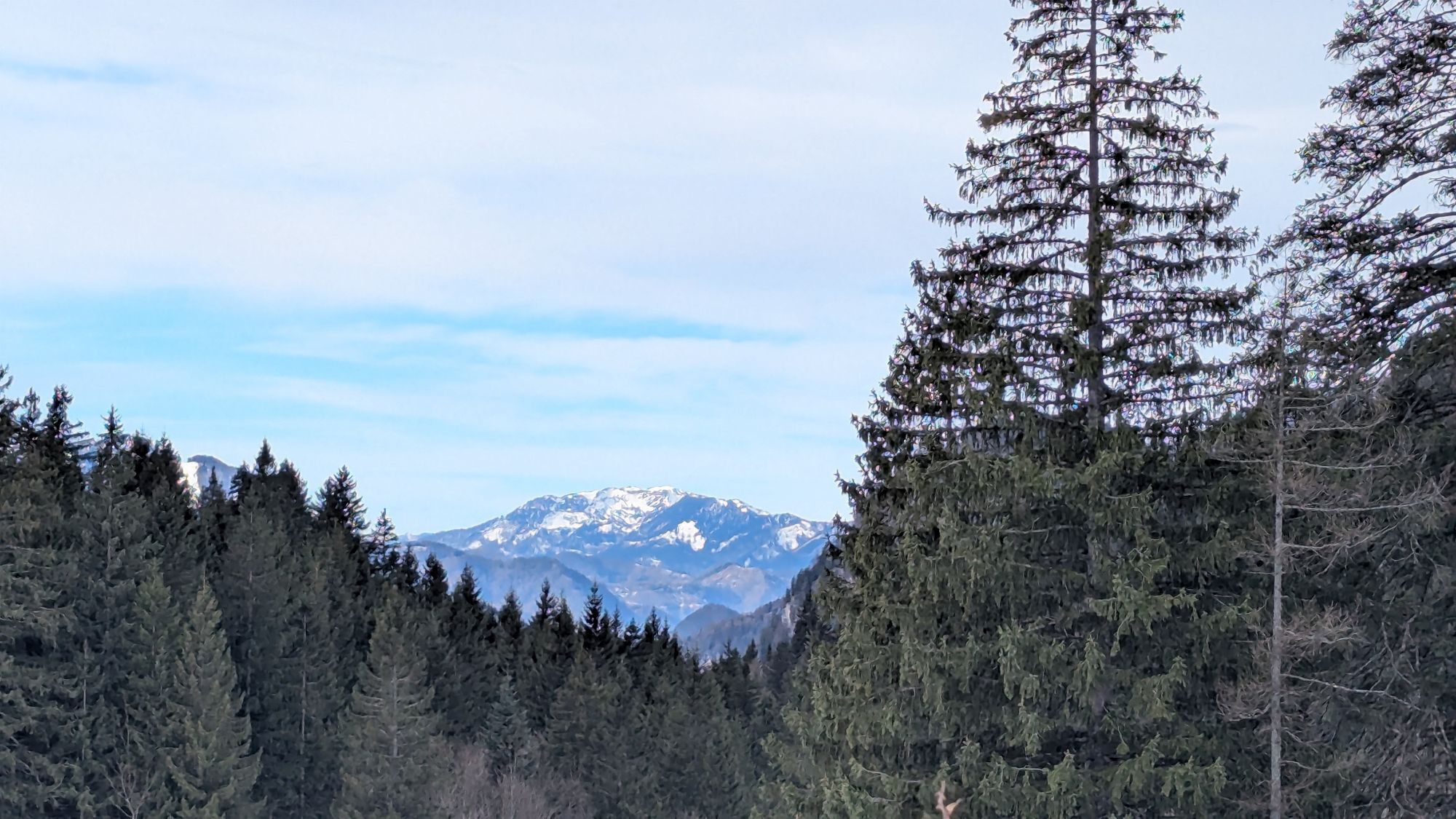
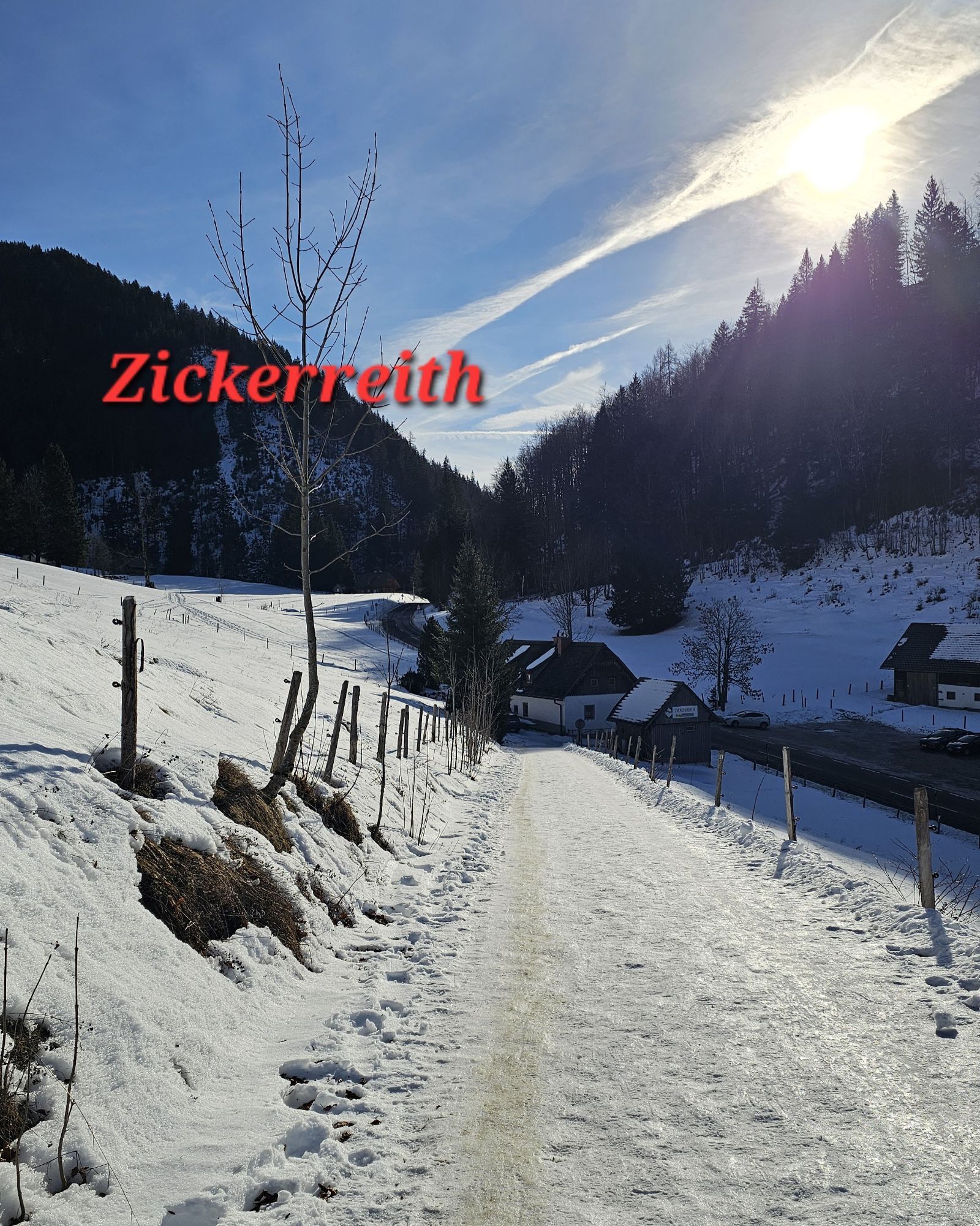

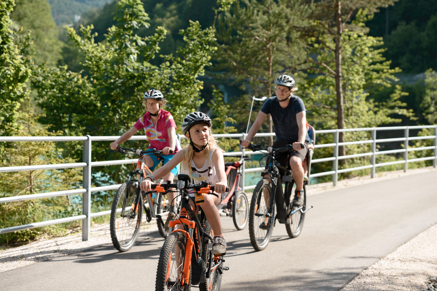

From Reichraming or Großraming on the Hintergebirg cycle path R 9 through the Reichraminger Hintergebirge and past the Schleierfall and the Mooshöhe to Unterlaussa. Then continue at the National Park Kalkalpen cycle path R 31 across the Hengstpass to Windischgarsten or Spital/Pyhrn (another 10 km).
Overnight stays/stage locations
Numerous qualified "bicycle-friendly establishments", as marked, offer special accommodation options with tools for minor repairs, lockable bicycle rooms as well as sufficient information material on cycling in the Traunviertel region.
See the stage entry on websites of each respective region under MY RECOMMENDATIONS to find our BICYCLE-FRIENDLY ACCOMMODATIONS along the route.
Culinary delights
Ask our hosts for the specialities from Ennstal organic veal, sheep cheese or local trout. A special insider tip is the Alpine caviar!
Nature enjoyment
Cycling along the creeks in the Reichraminger Hintergebirge,
Great gorge and steep path (Triftsteig), Schleier waterfall – a natural spectacle, Hengstpass, Alpine pastures, Dr. Vogelgesang-Klamm
Culture pleasure
Großraming: Gruber carriage museum Reichraming: Holzknechtmuseum Unterlaussa: Knappenhaus Spital/Pyhrn: Museum "Between Heaven and Earth – Gerlinde Kaltenbrunner and the World of the 8000s", Cathedral am Pyhrn
Insider tip
Enjoy the natural swimming spots and a fresh cooling in the mountain streams in the Reichraminger Hintergebirge or in the bathing lake in Edlbach (golf course).
Ano
Sun and rain protection, up-to-date maps
Since the stages are all over 50 km long, it is recommended to take enough to drink and snack for refreshment in between!
www.steyr-nationalpark.at
Free bike charts at: www.steyr-nationalpark.at

Oblíbené prohlídky v okolí
-
4.9
Ennser Hut - Almkogel (from Bamacher car park)
středníTuristika 3.53 km -
4.6
Natterriegel über Mittagskogel
heavyTuristika 14.6 km -
4.5
Grabneralm und Grabnerstein
středníTuristika 13.5 km -
4.0
Wasserklotz
středníTuristika 5.81 km -
4.8
Scheiblingstein (23.10.2019)
středníTuristika 14.2 km -
4.7
GROSSRAMING Bamacher, Burgspitz, Almkogel, Ennshütte 20240730
středníTuristika 10 km -
4.6
Mühlauer Wasserfall
světloTuristika 6.13 km -
4.6
Kleiner Pyhrgas
středníTuristika 9.64 km -
3.9
Grabneralm
světloTuristika 4.23 km -
4.6
Gamsstein (1275m) und Gschwendtalm ab Parkplatz Brunnbach
středníTuristika 7.37 km
Pěší turistika a stopování


Nenechte si ujít nabídky a inspiraci pro vaši příští dovolenou
Vaše e-mailová adresa byl přidán do poštovního seznamu.





