







Steyr - Spital am Pyhrn | Steyrtal cycle path R8 & Nationalpark Kalkalpen cycle path R31

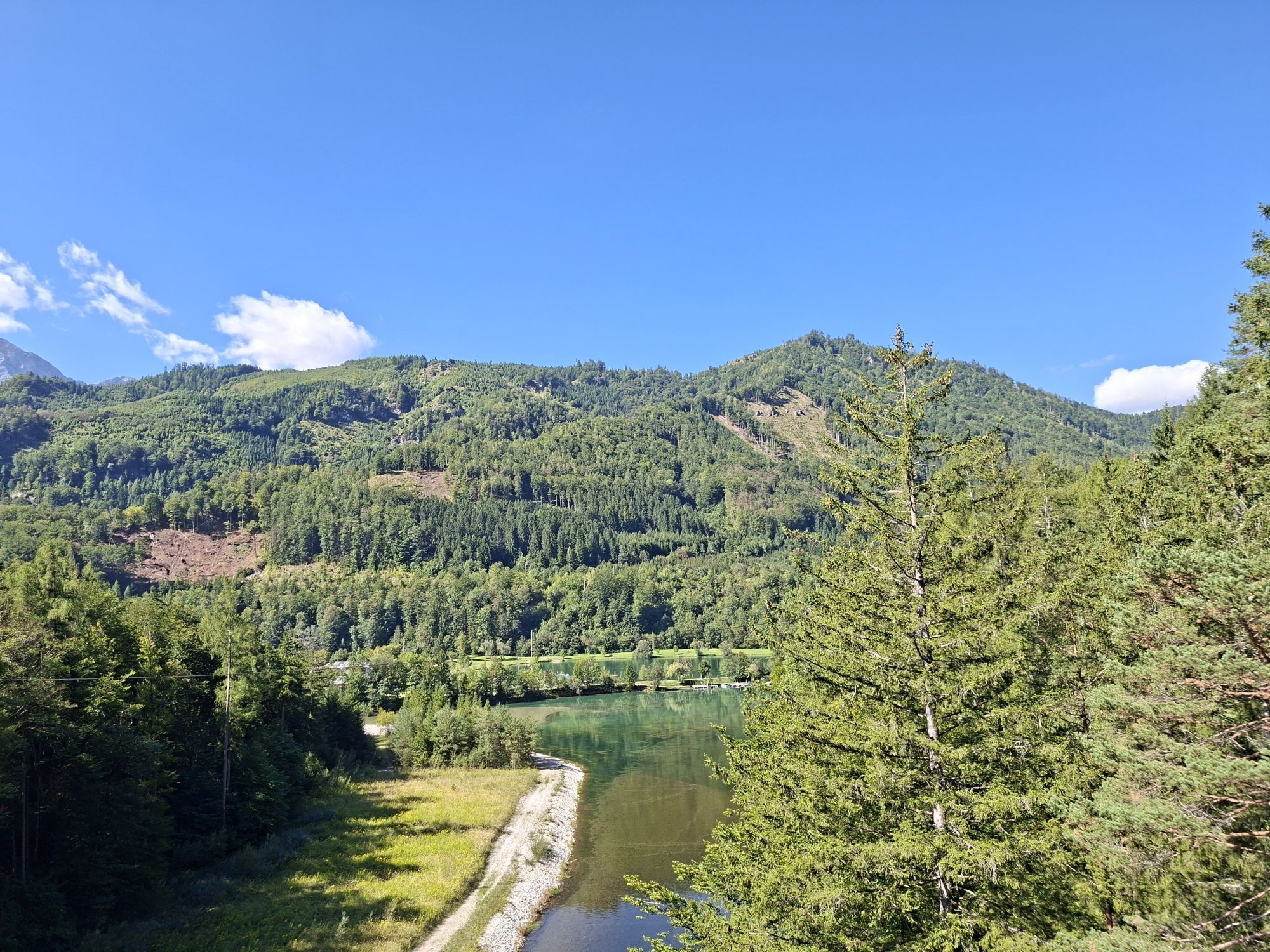
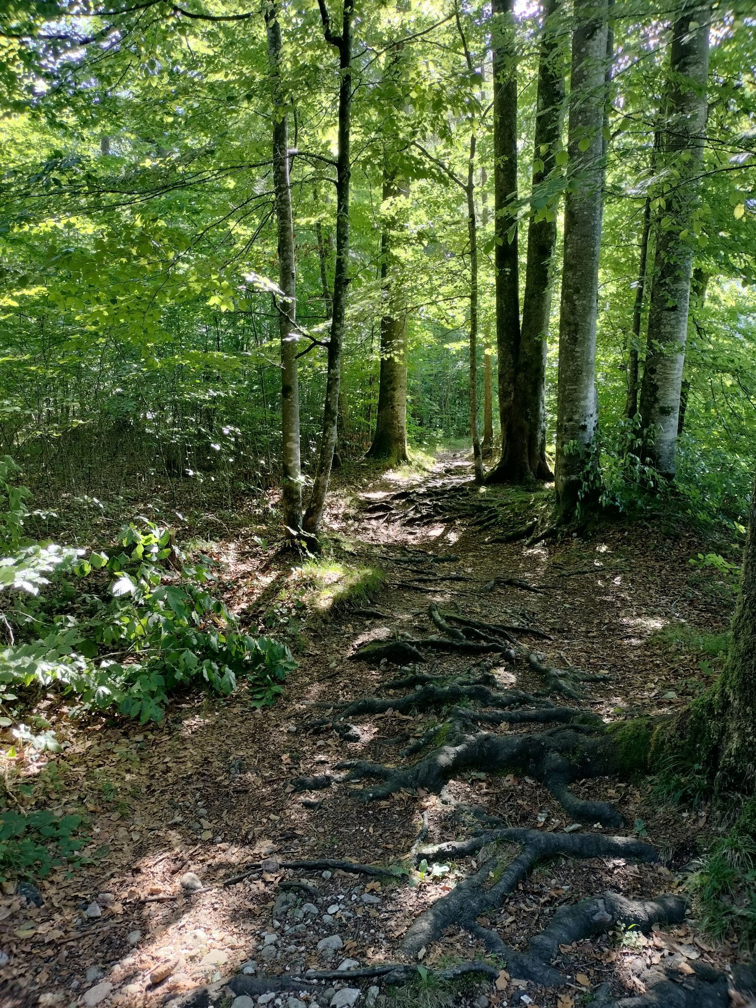
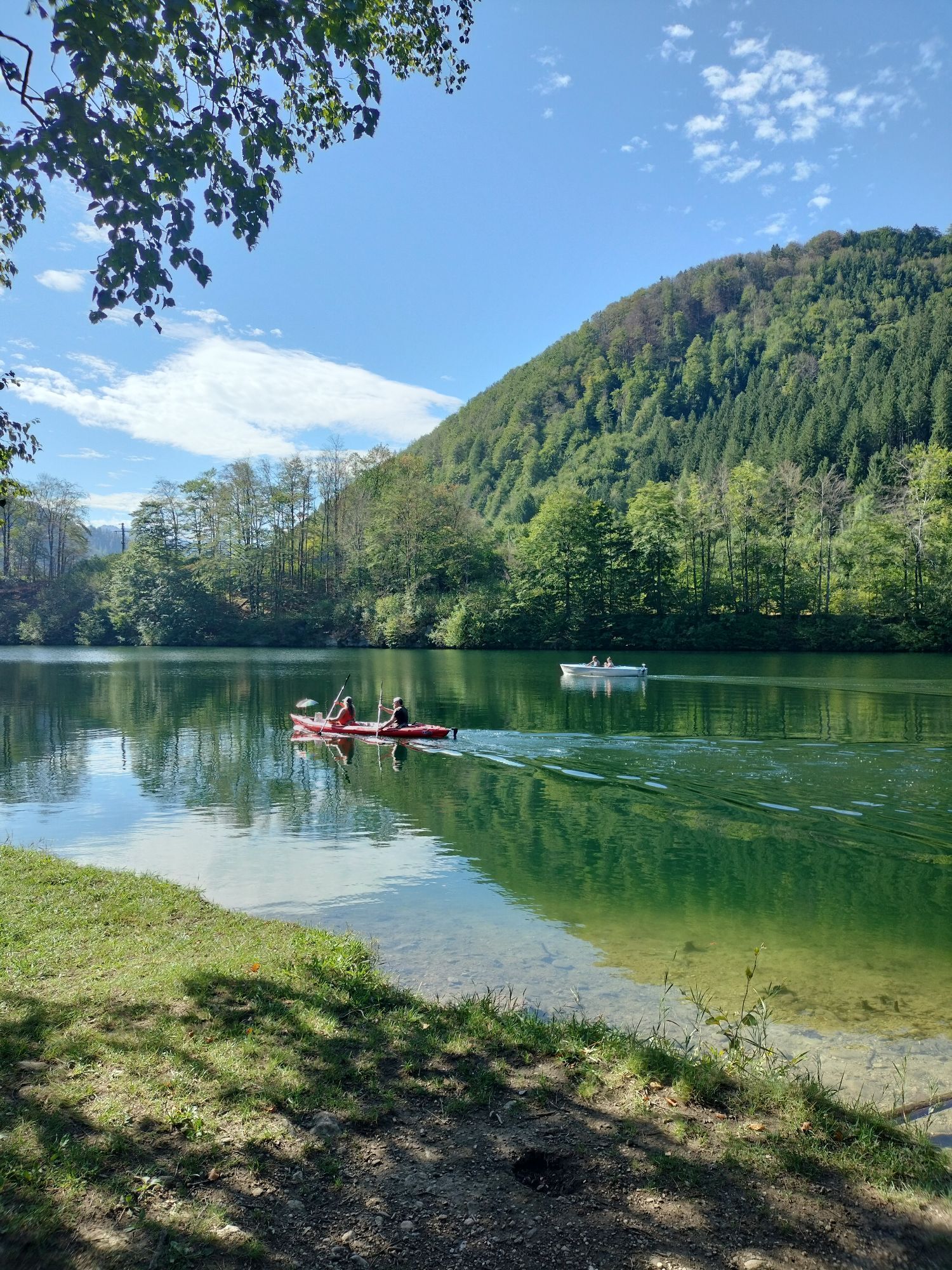
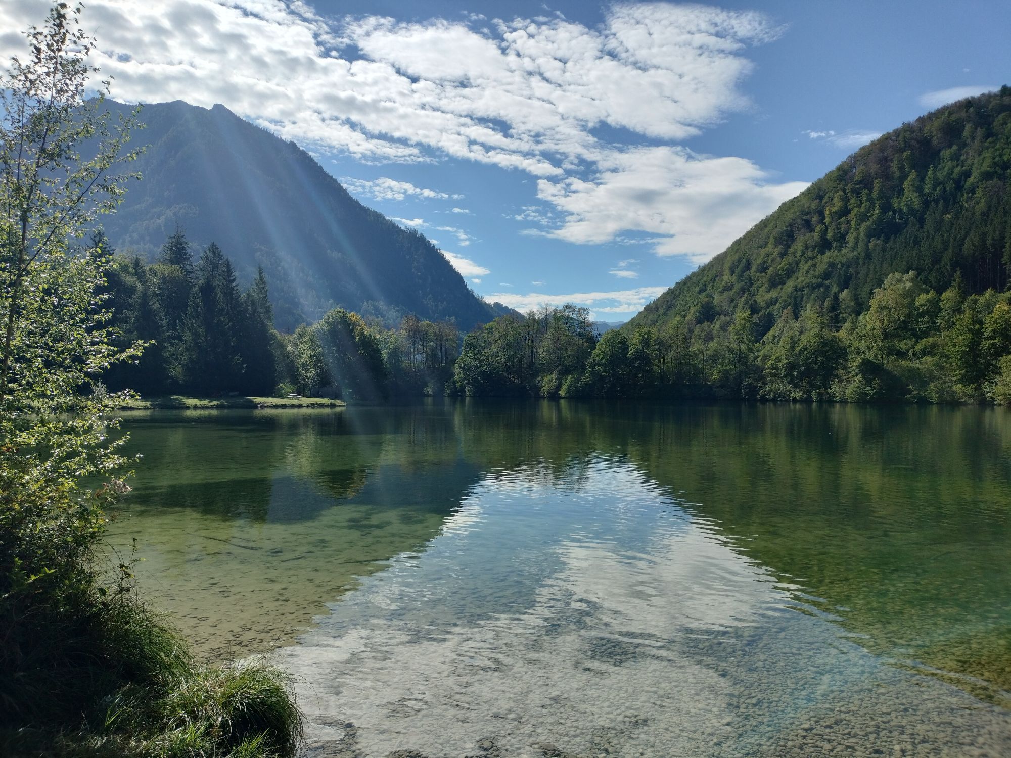
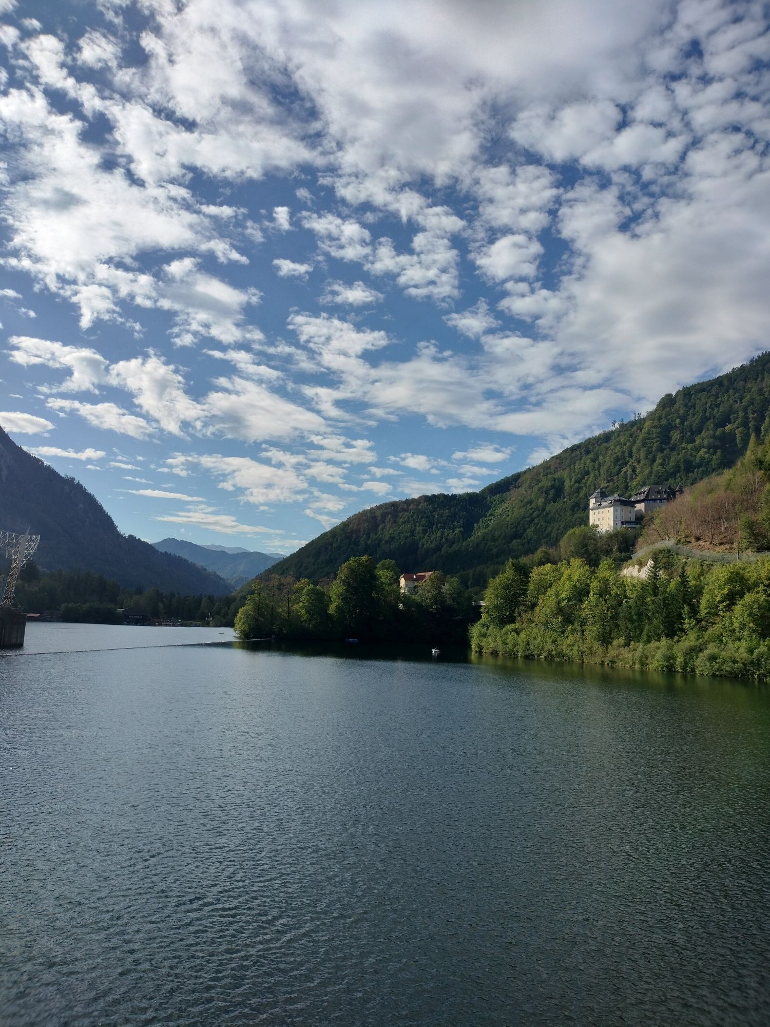
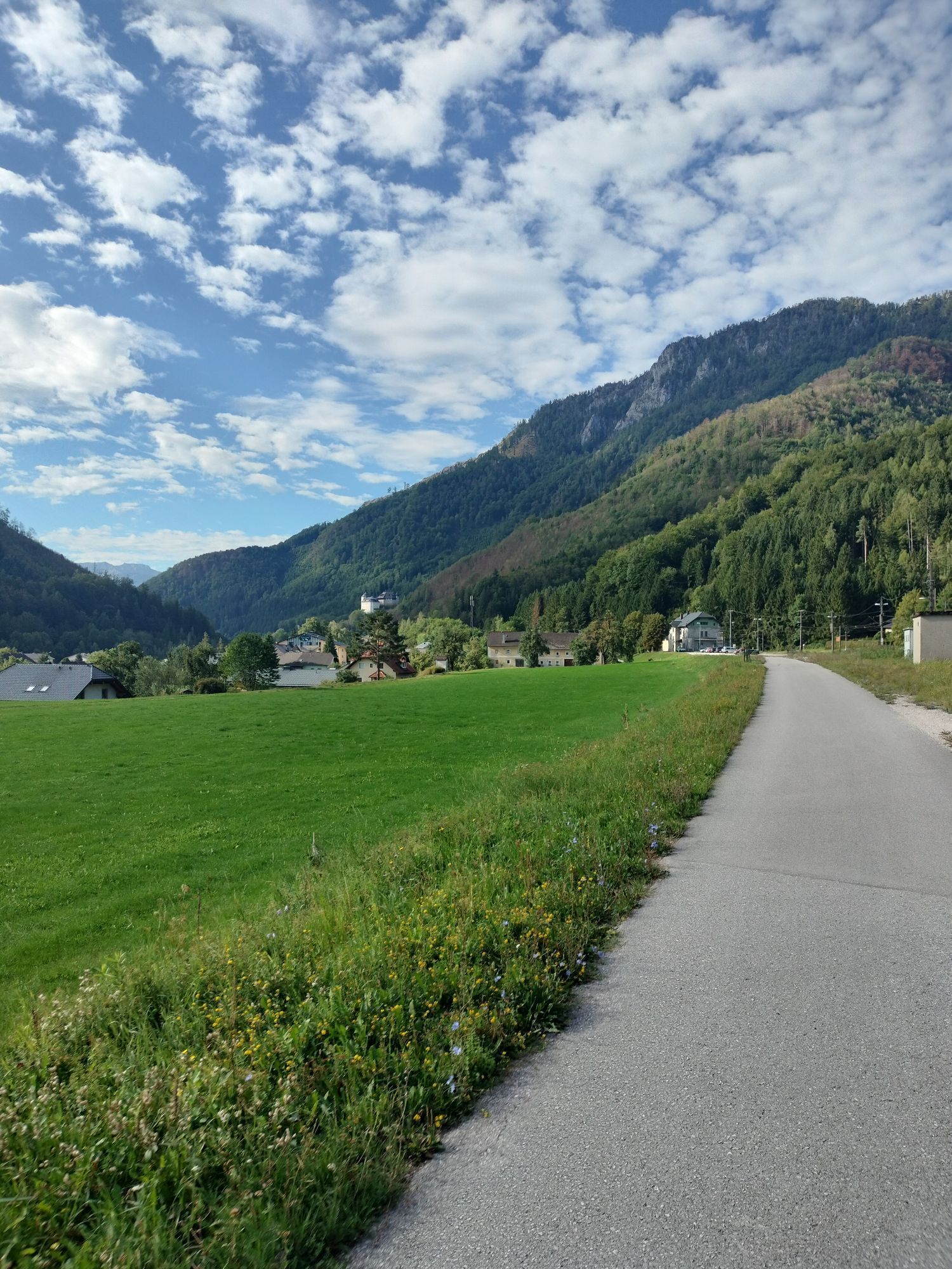
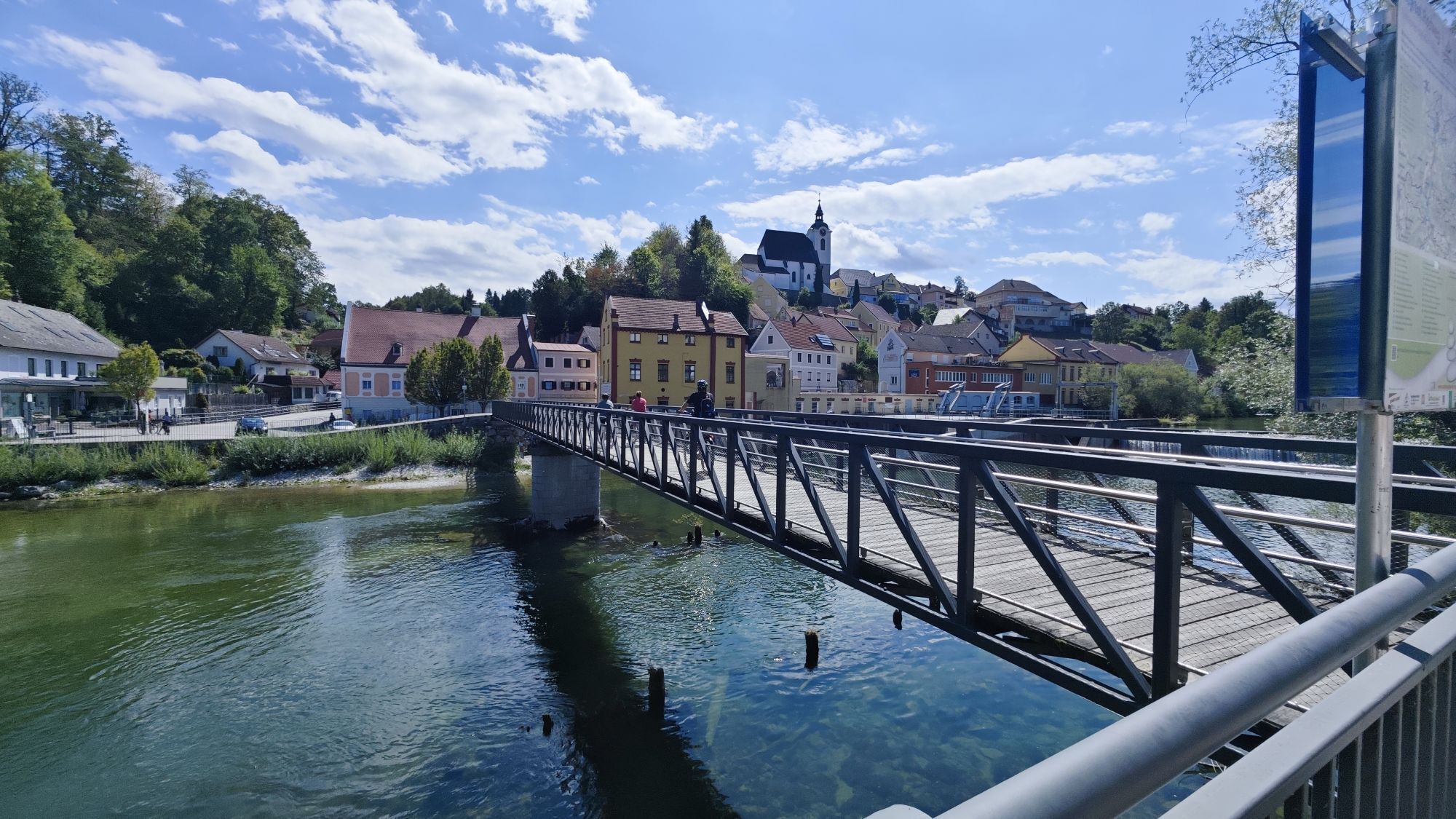
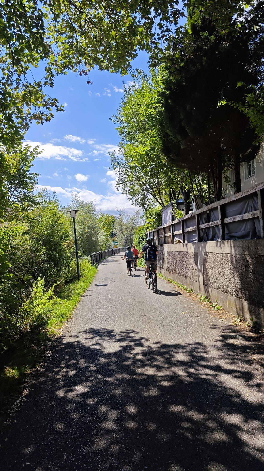
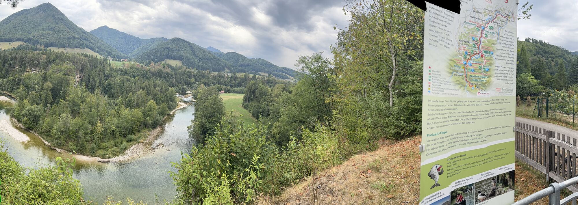
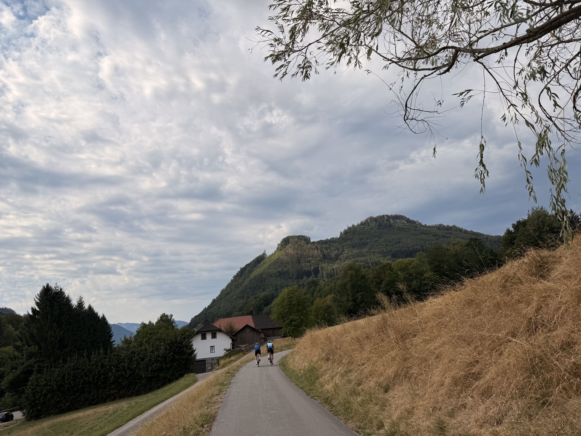
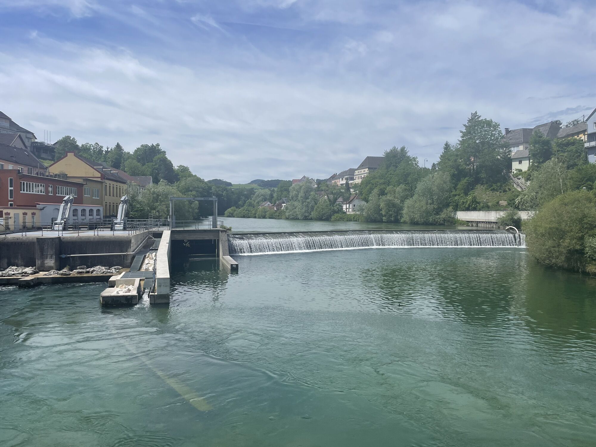
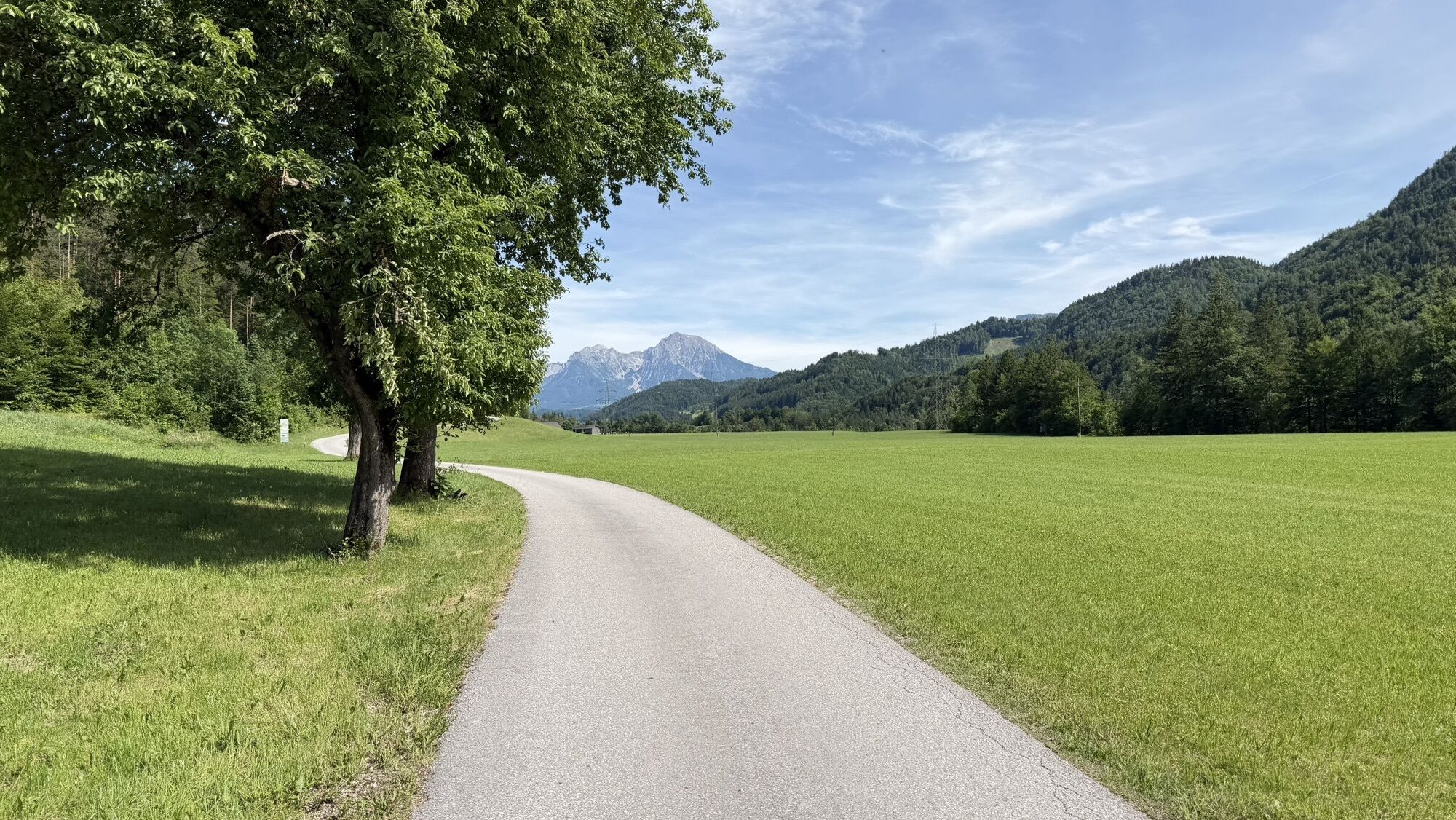
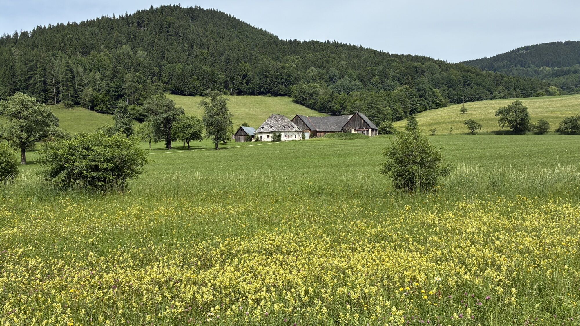
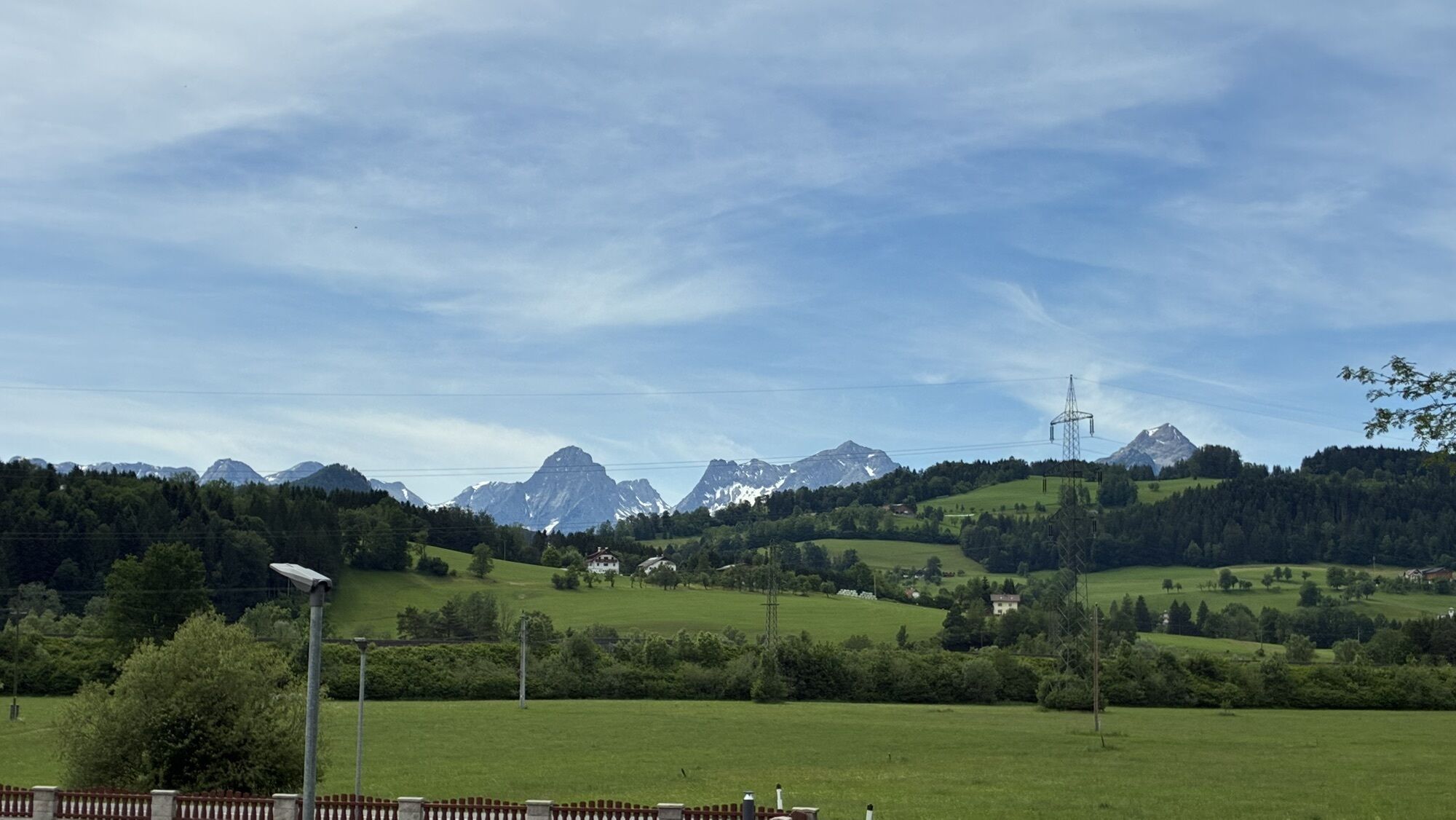
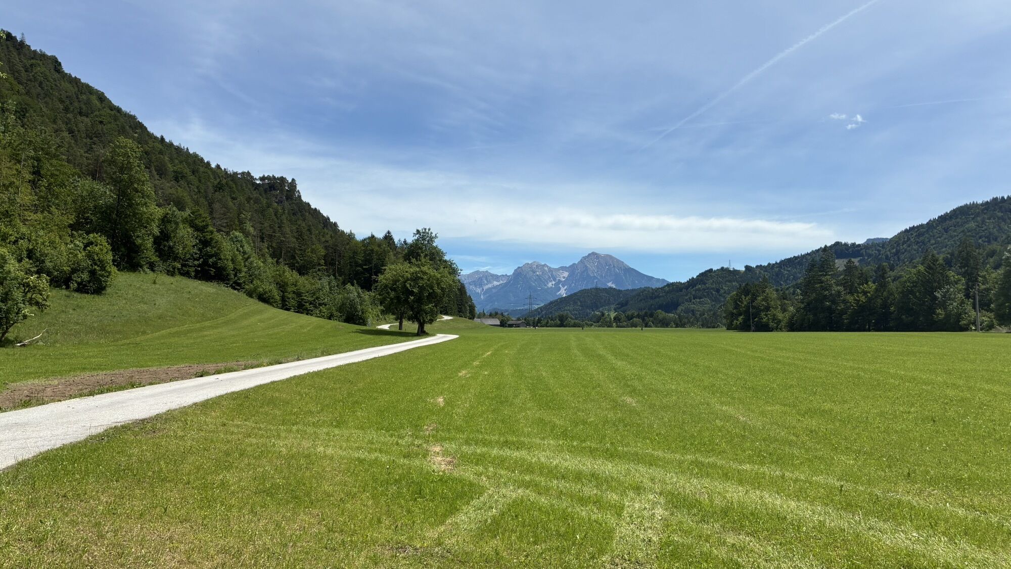
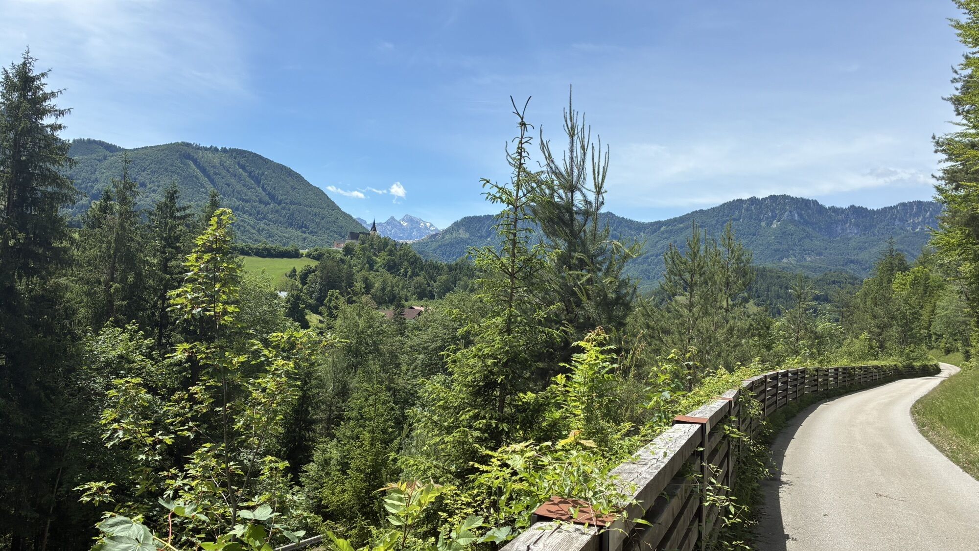
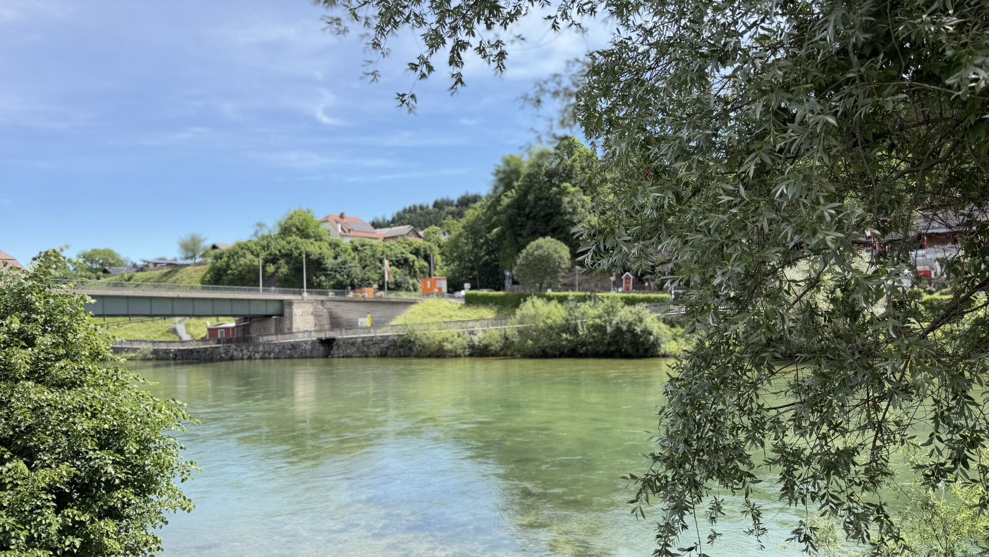
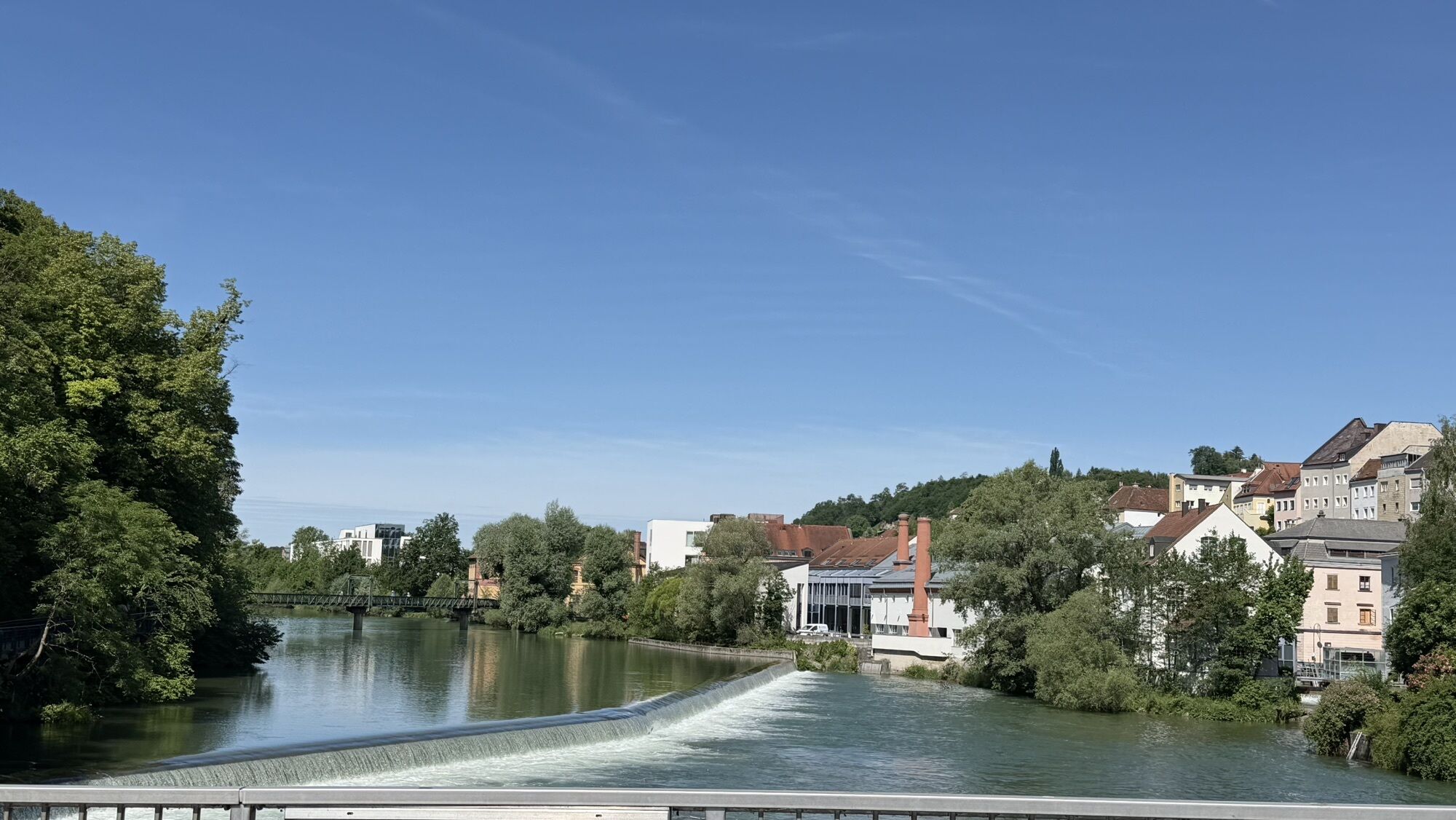
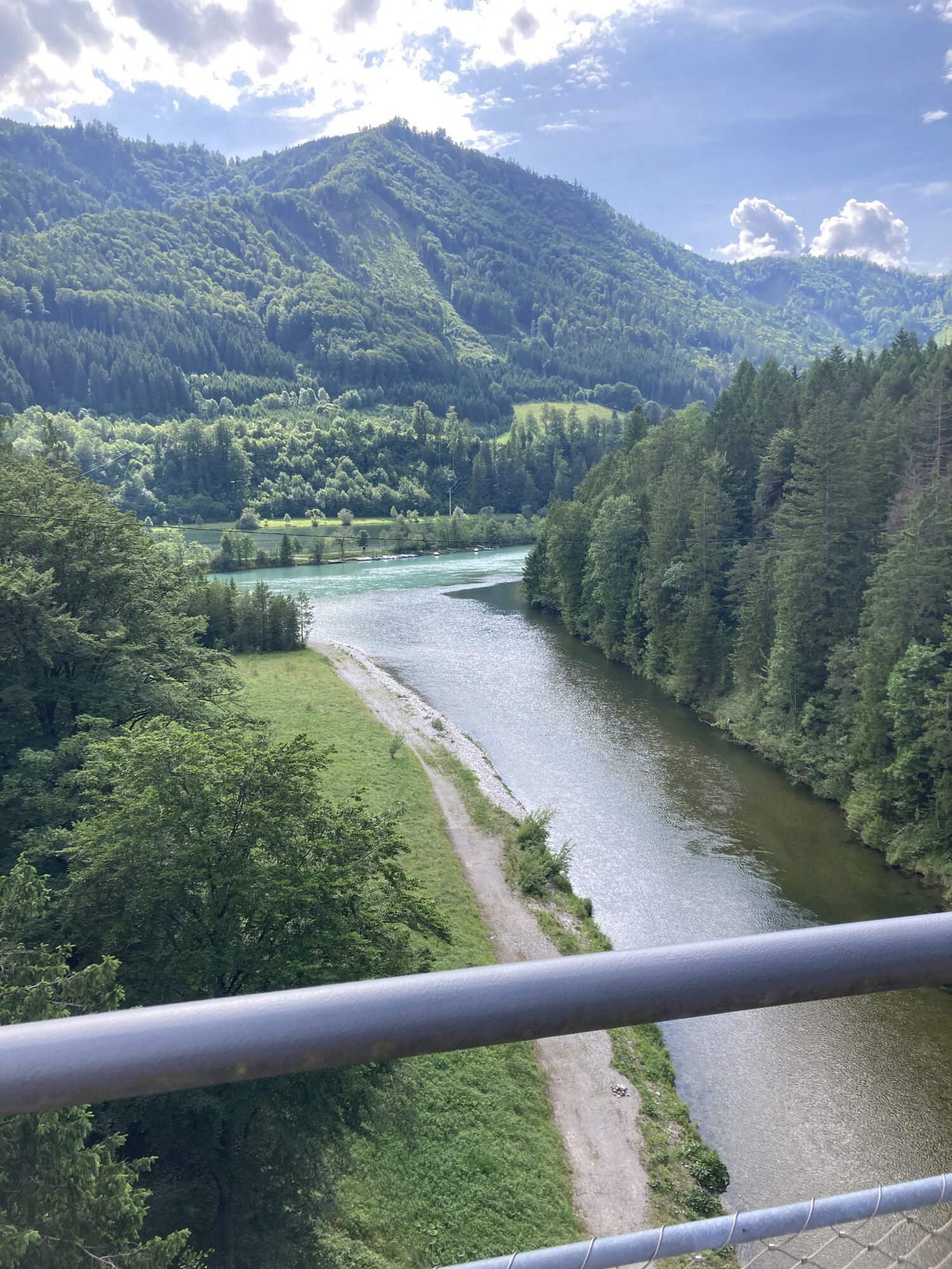
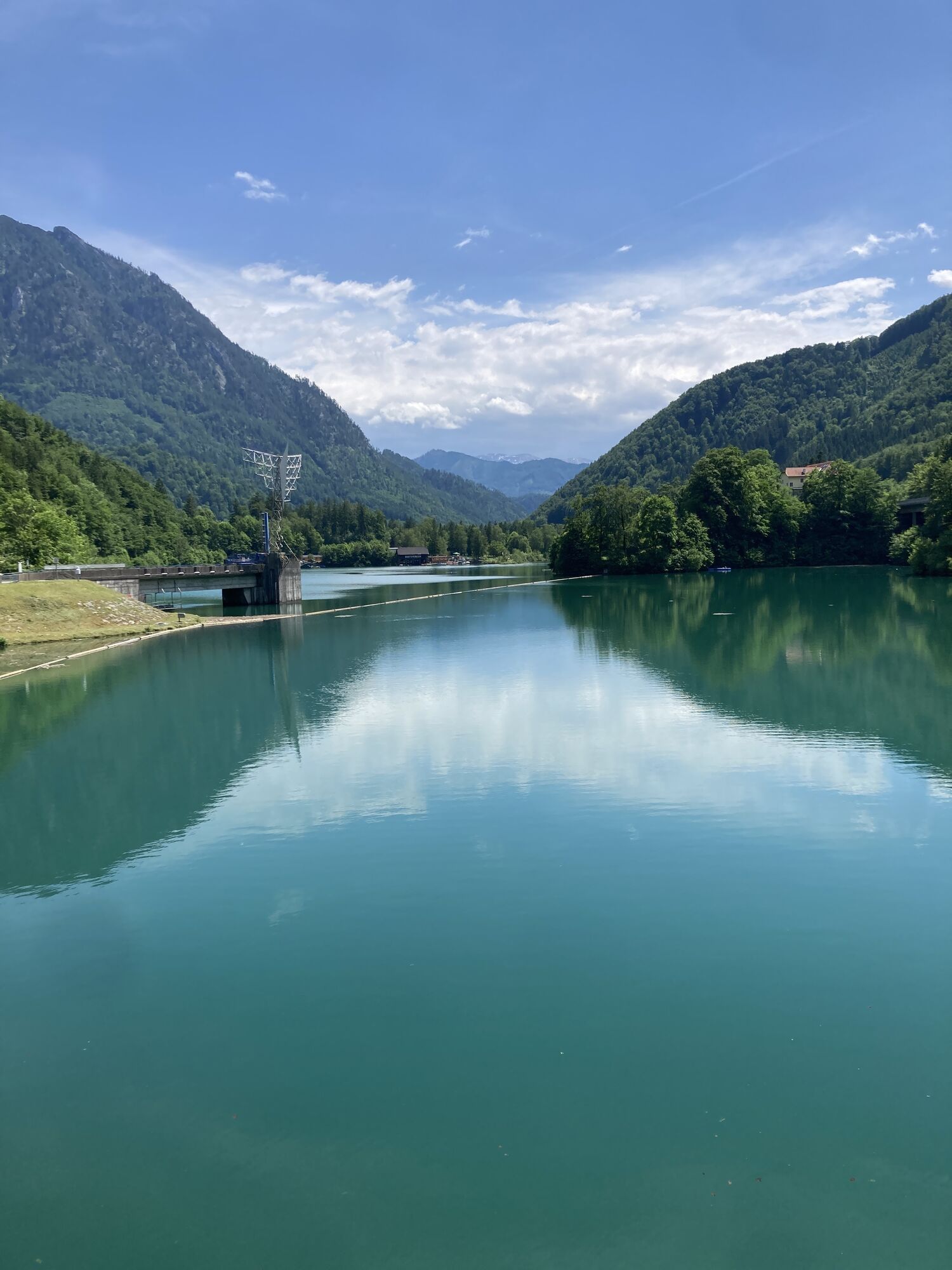
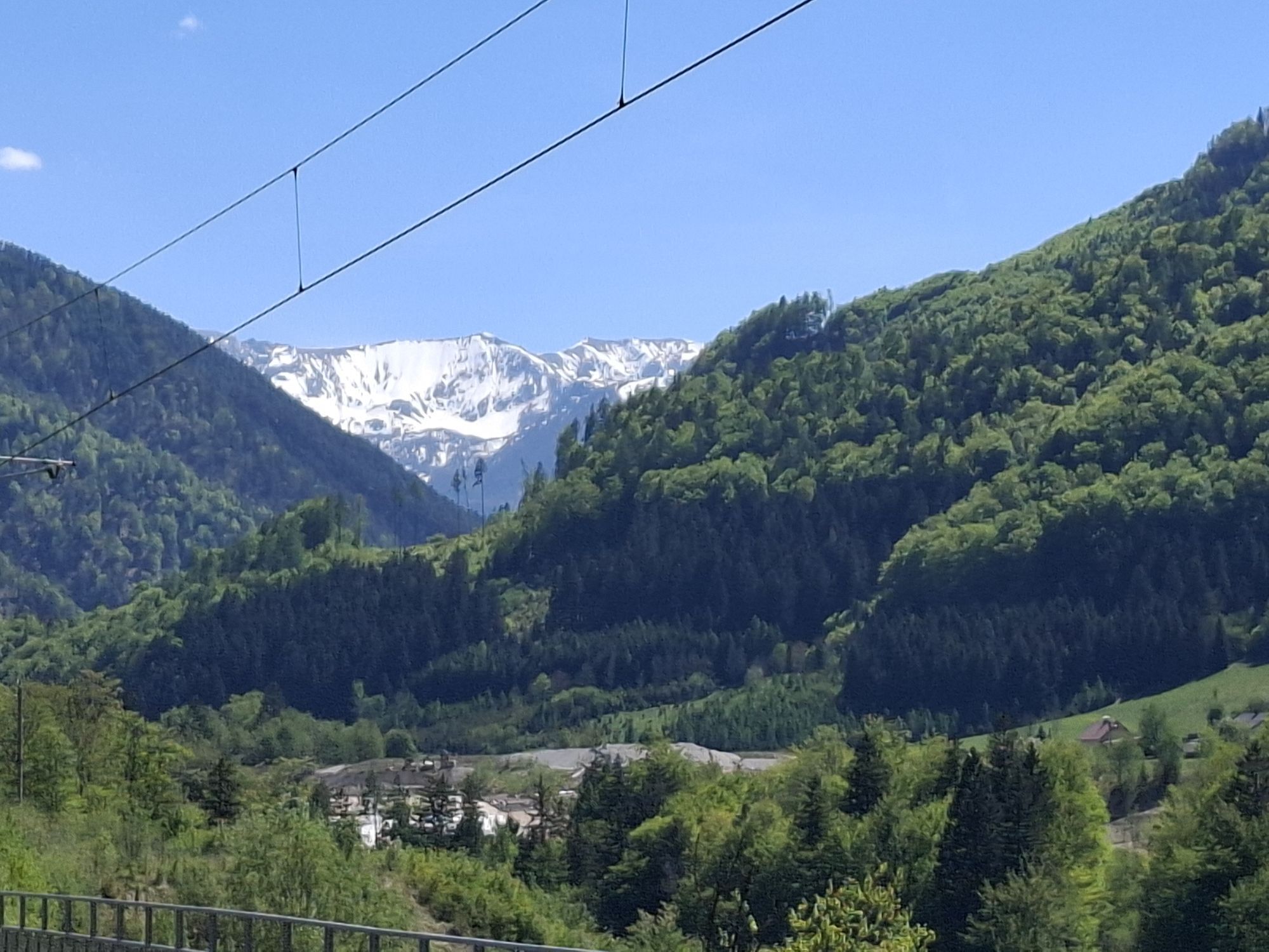
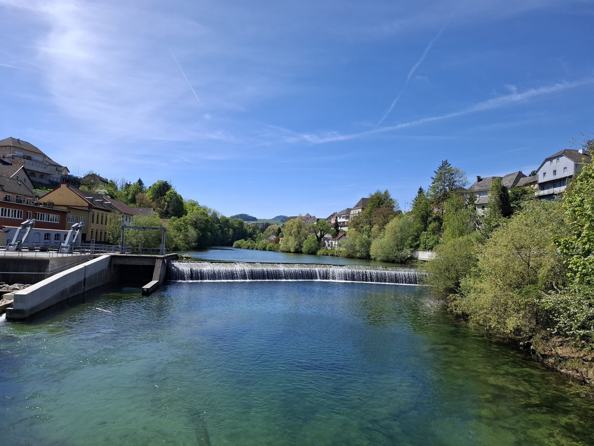
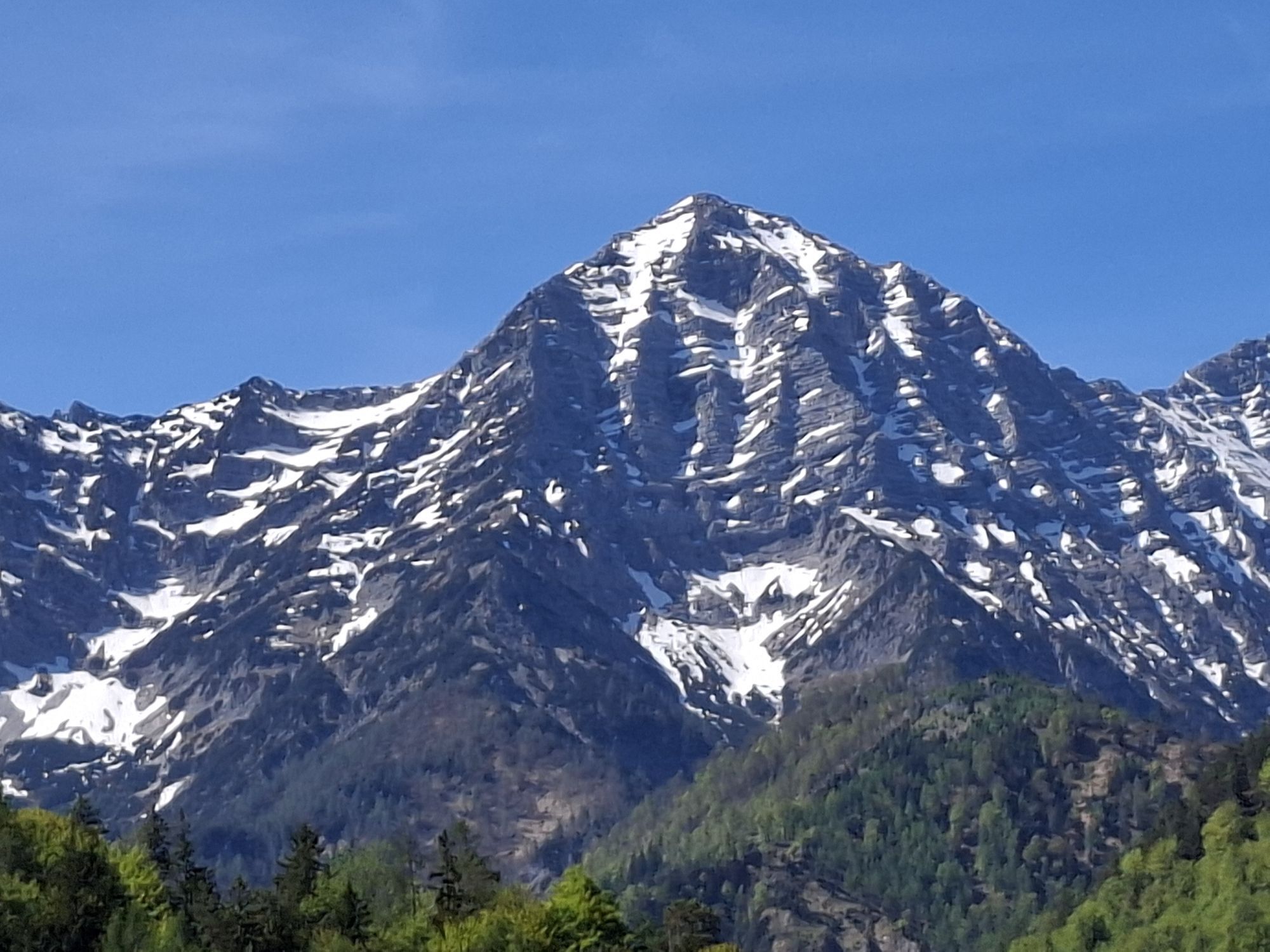
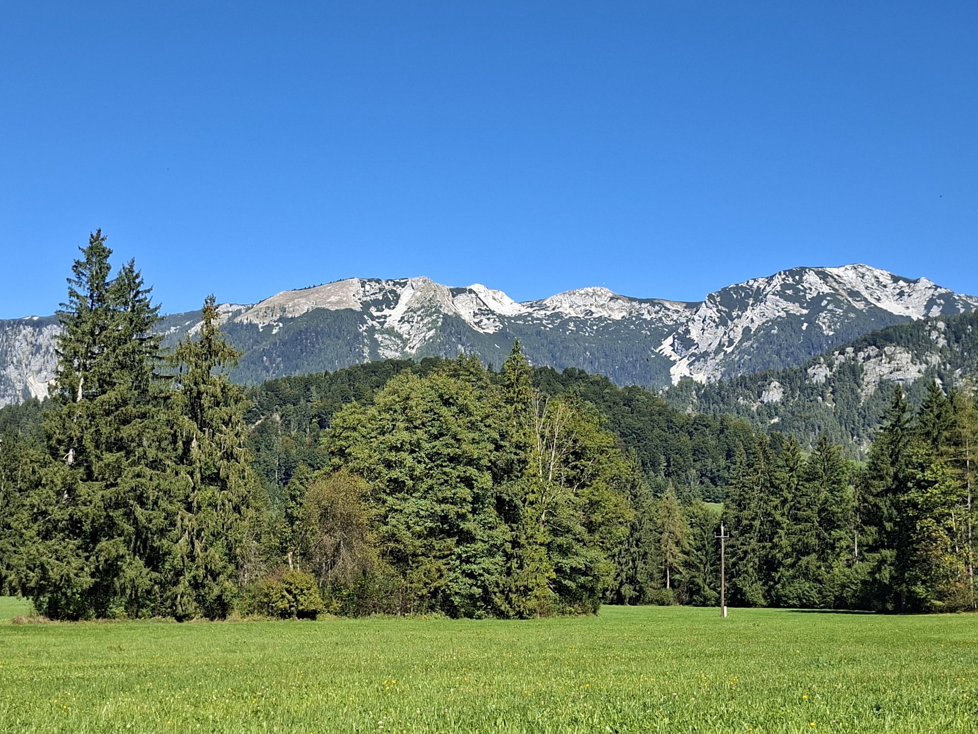
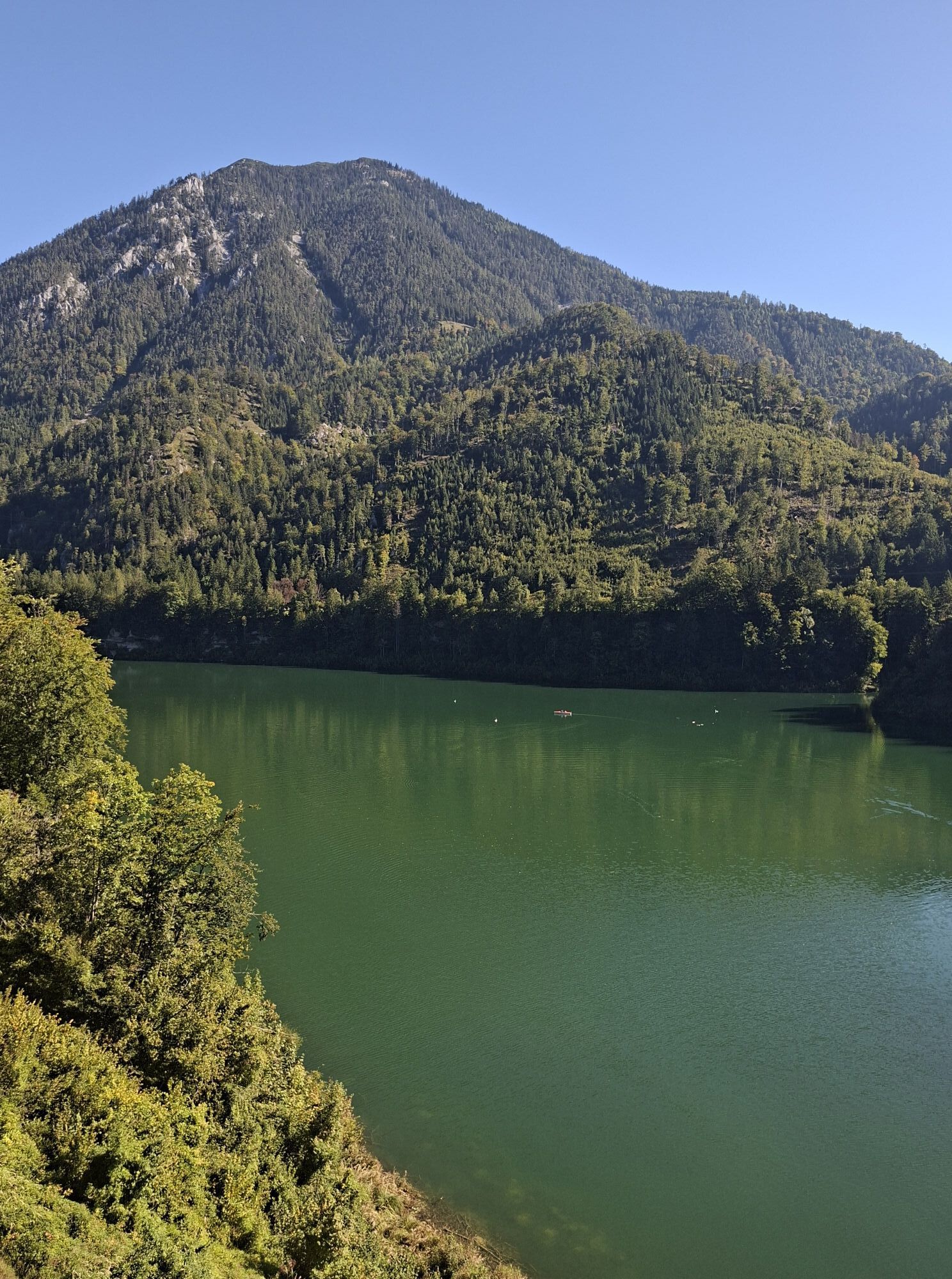
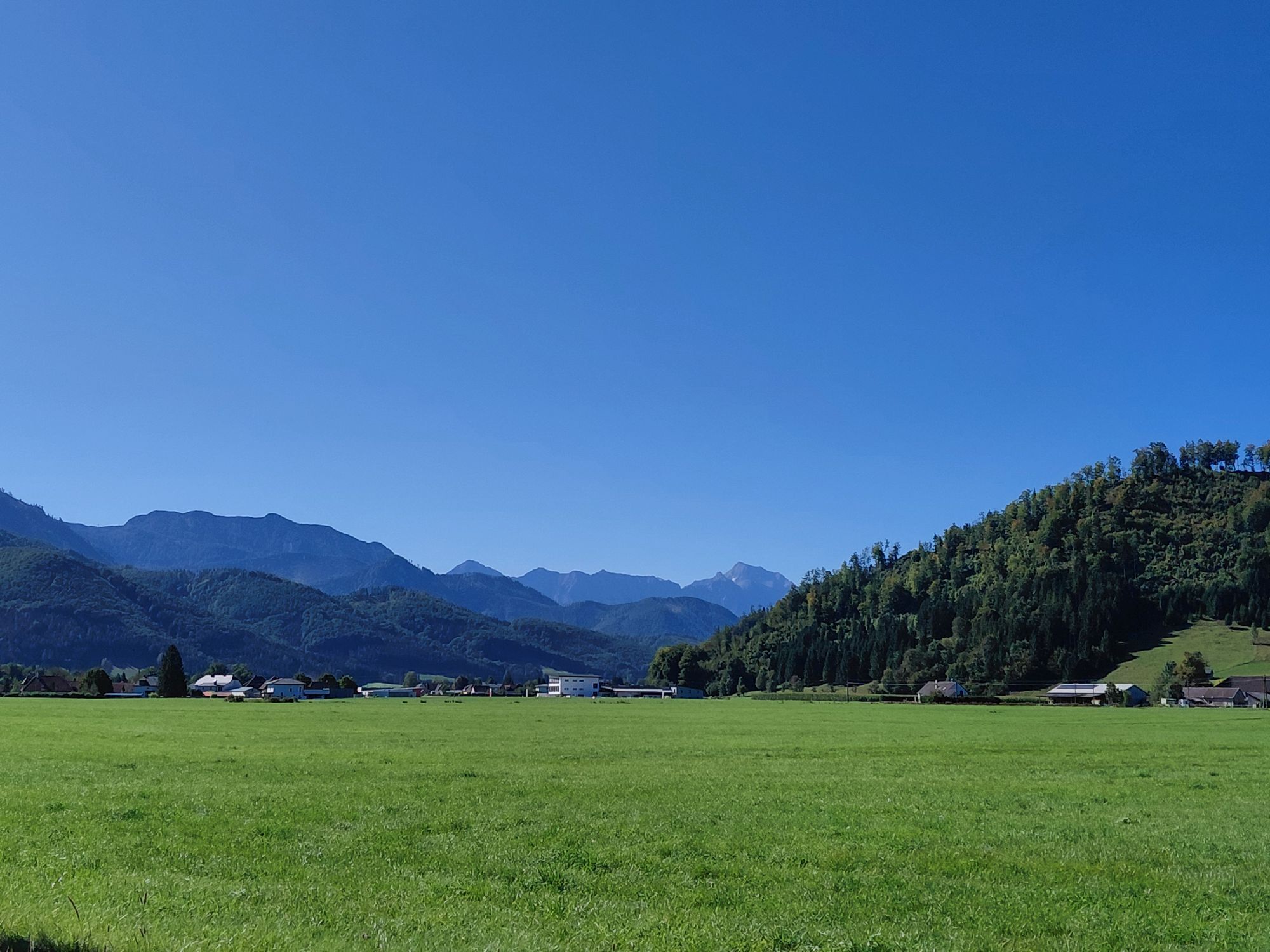
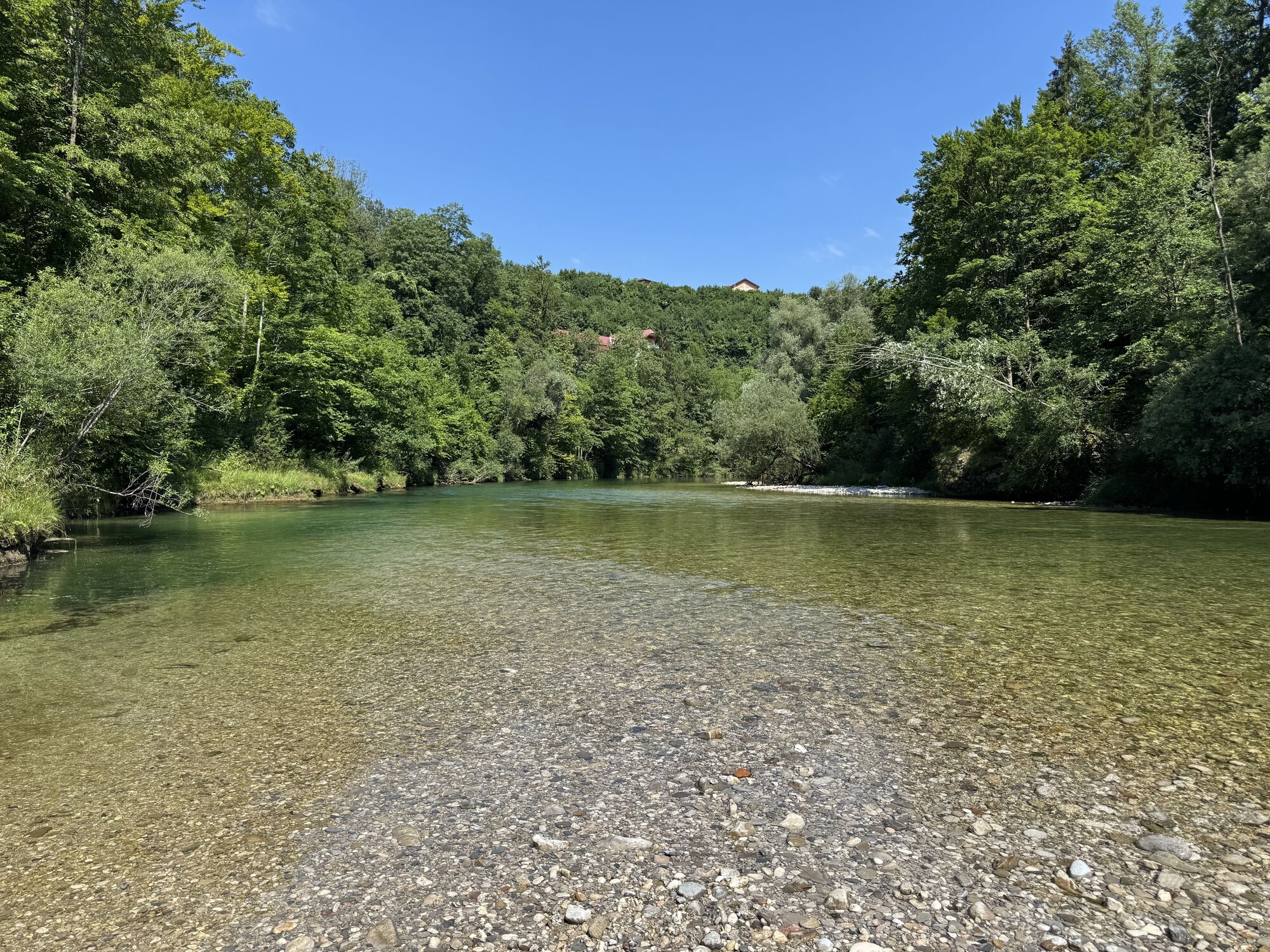
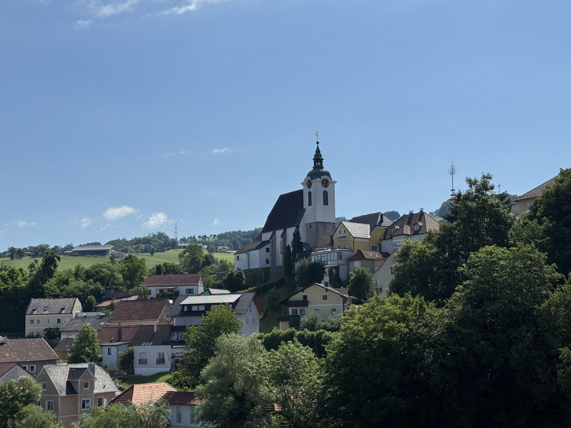

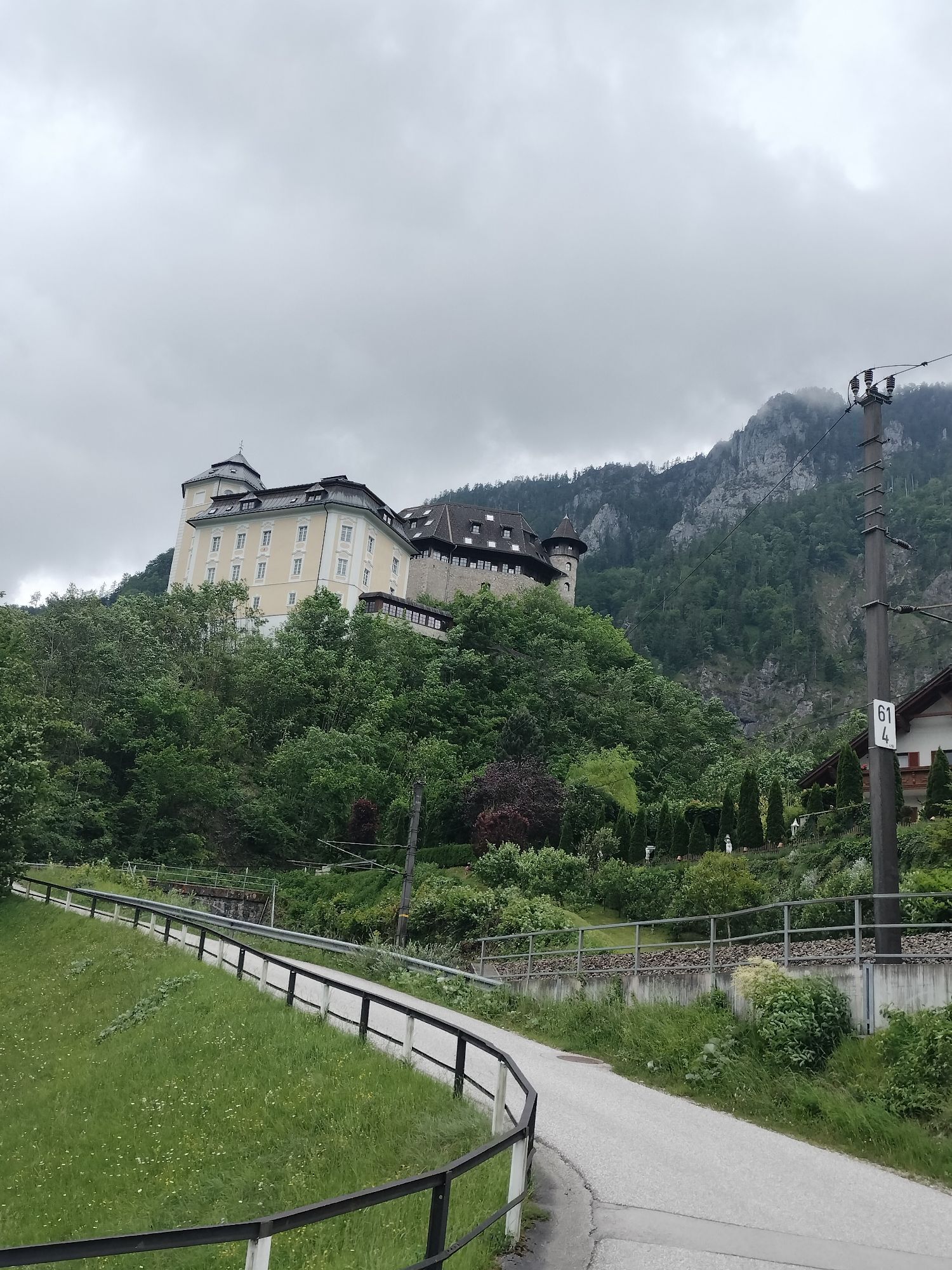
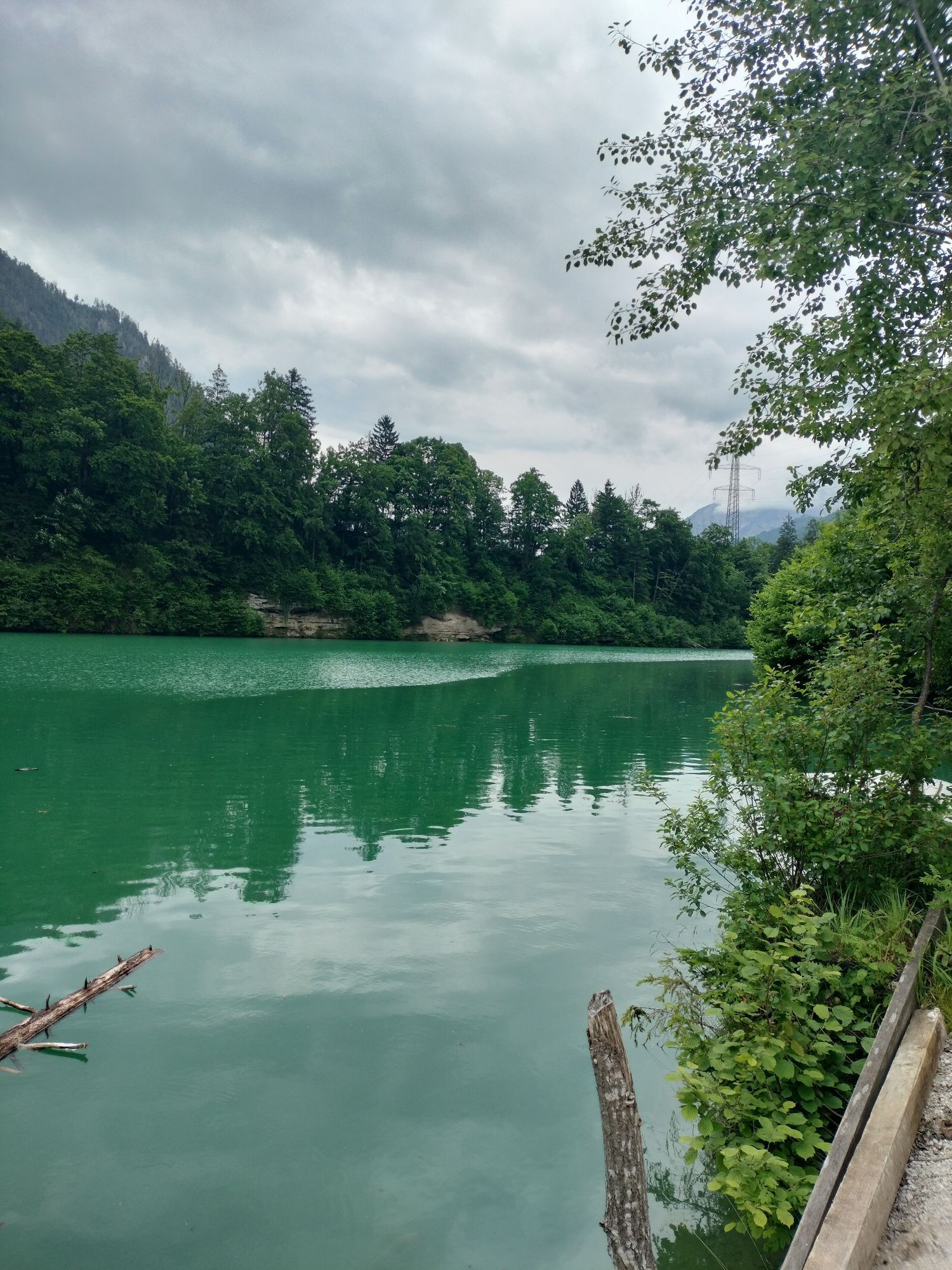
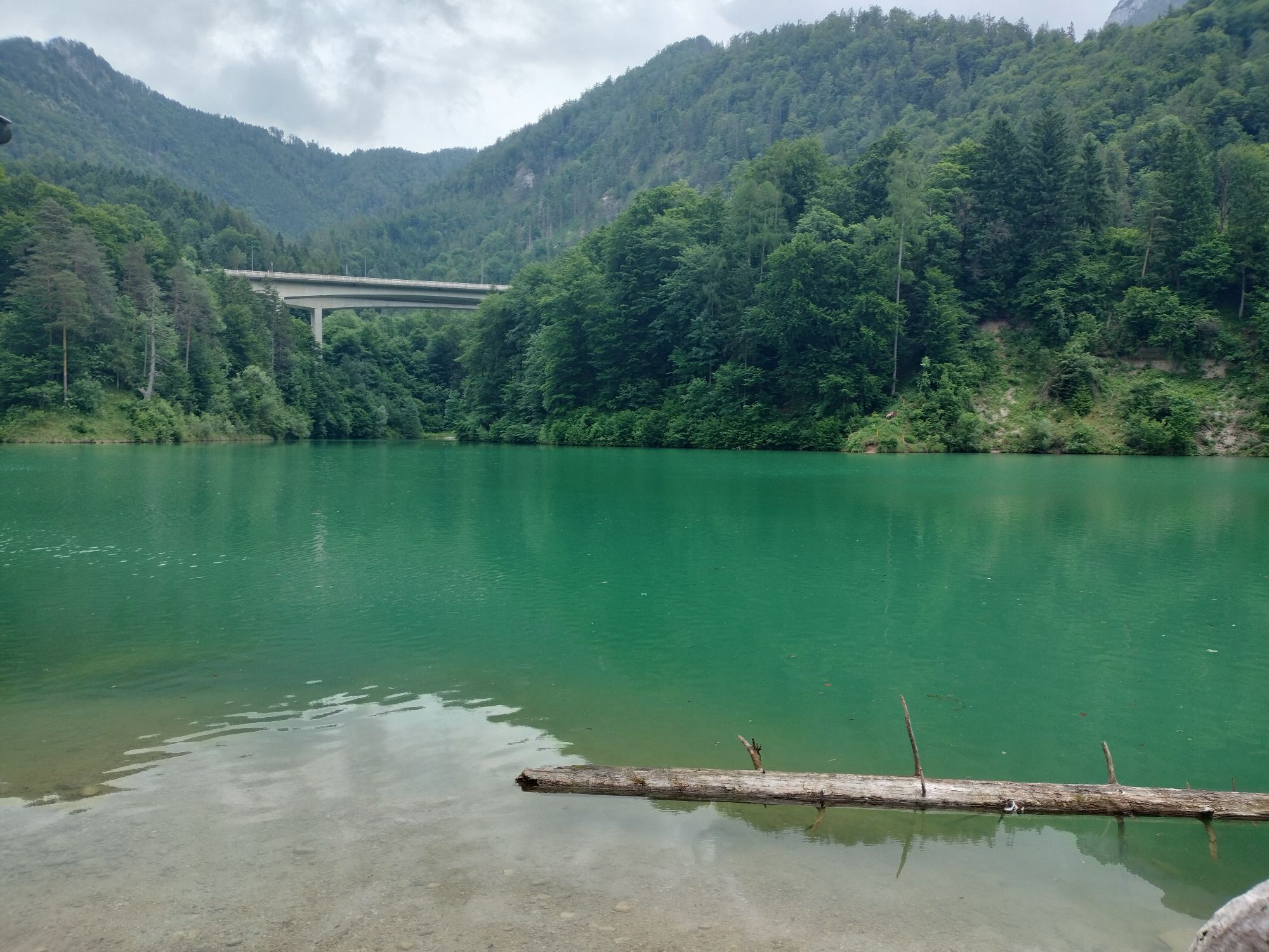
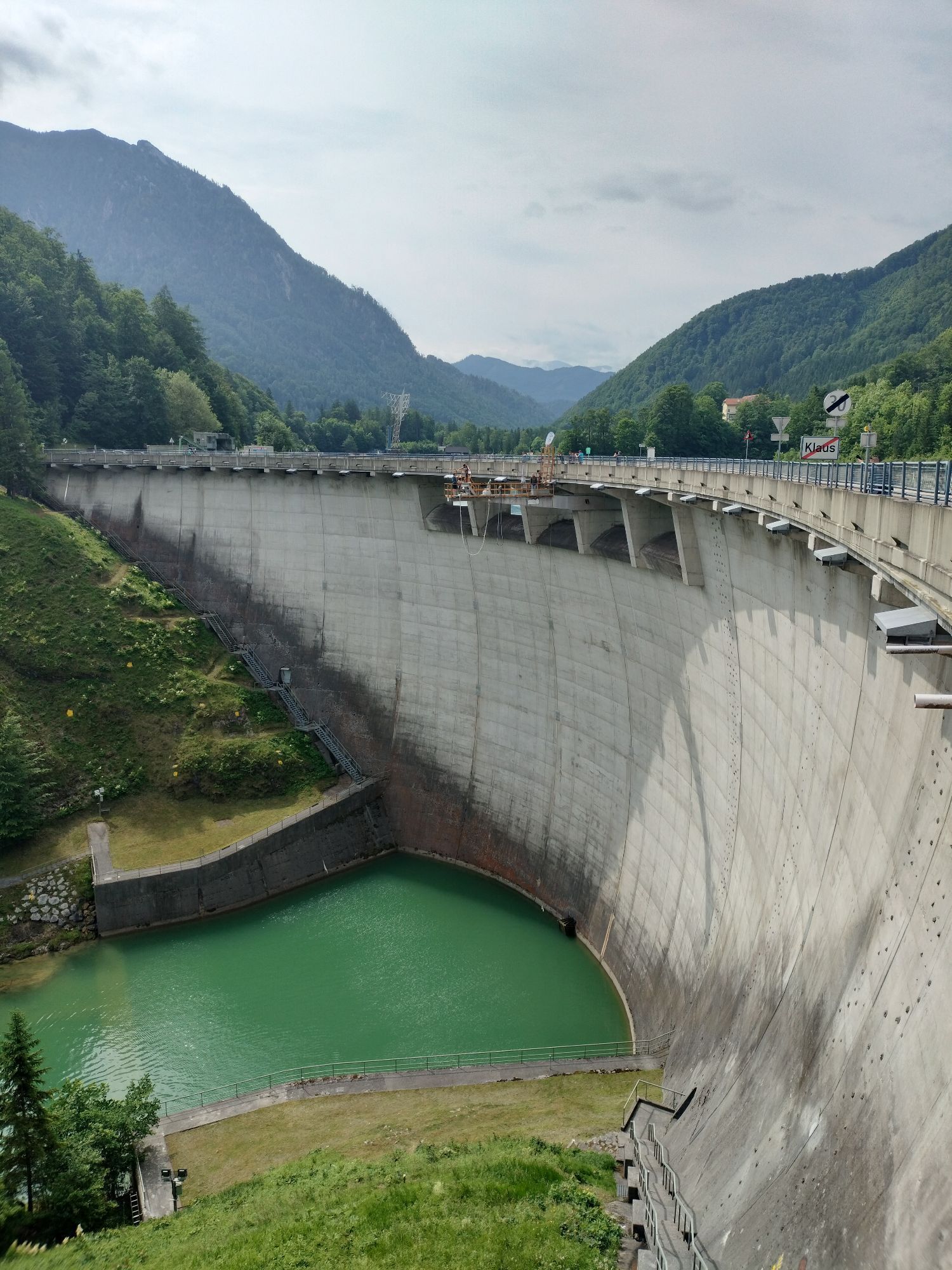

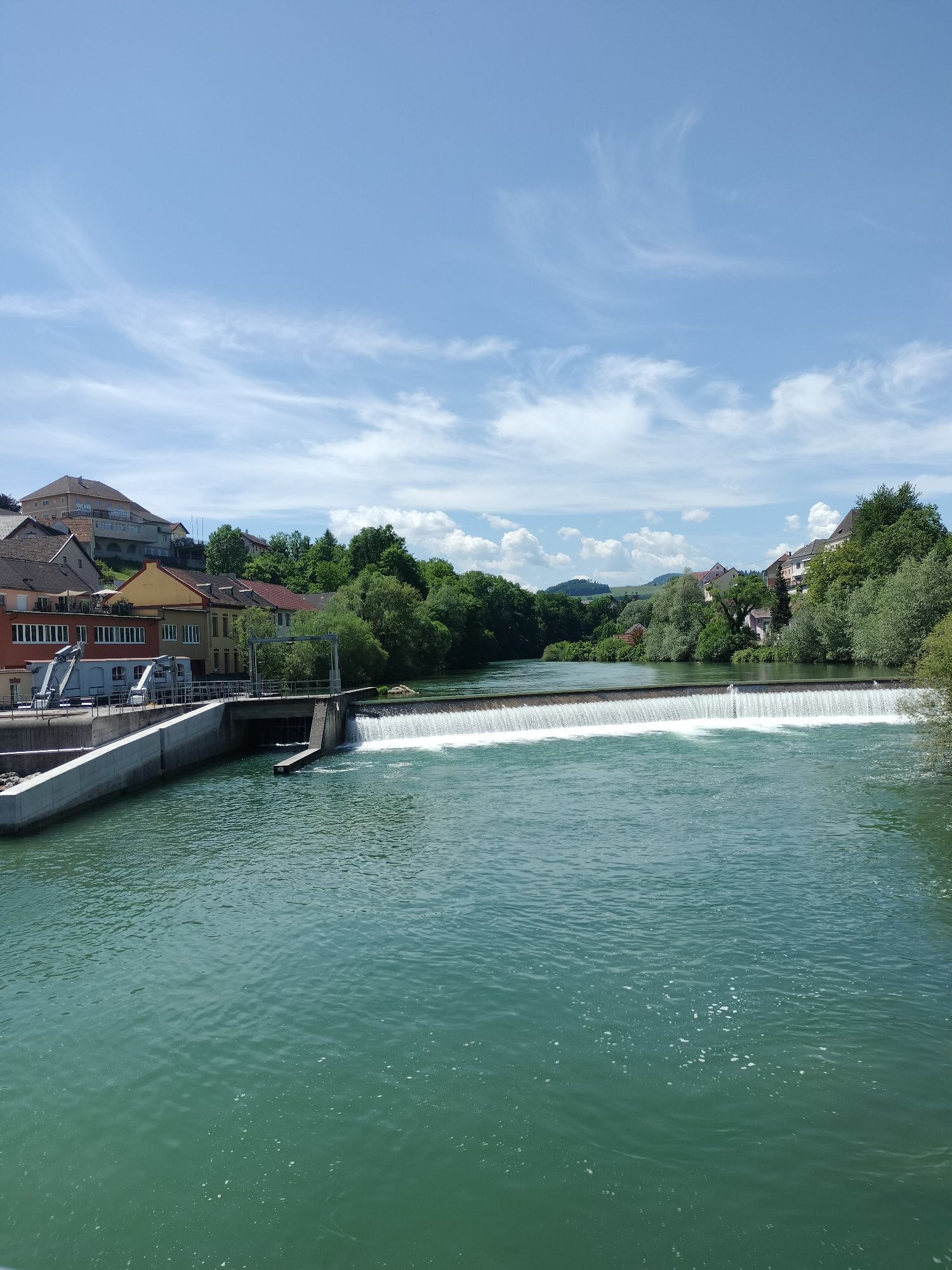
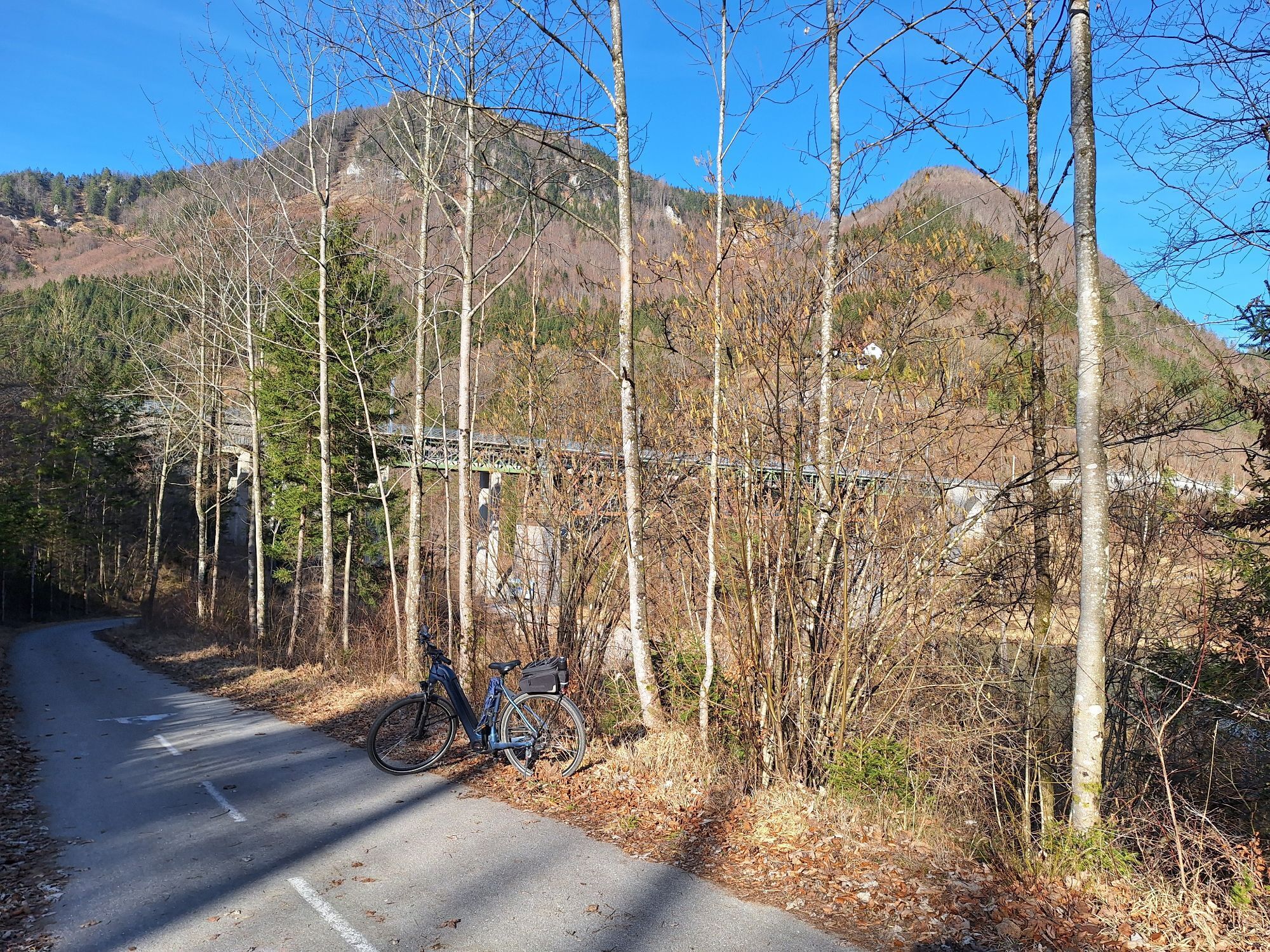

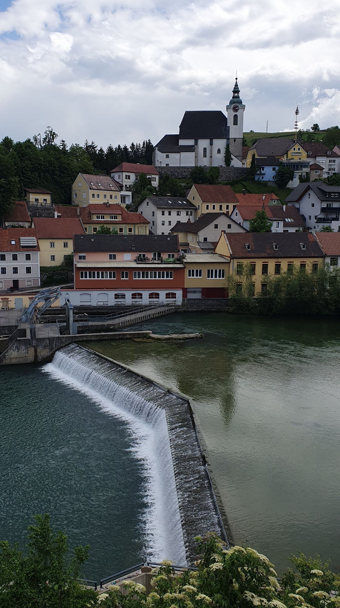
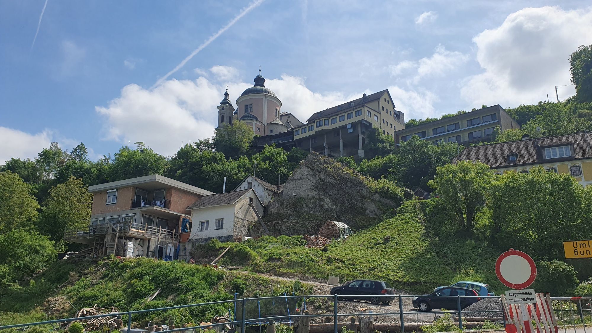

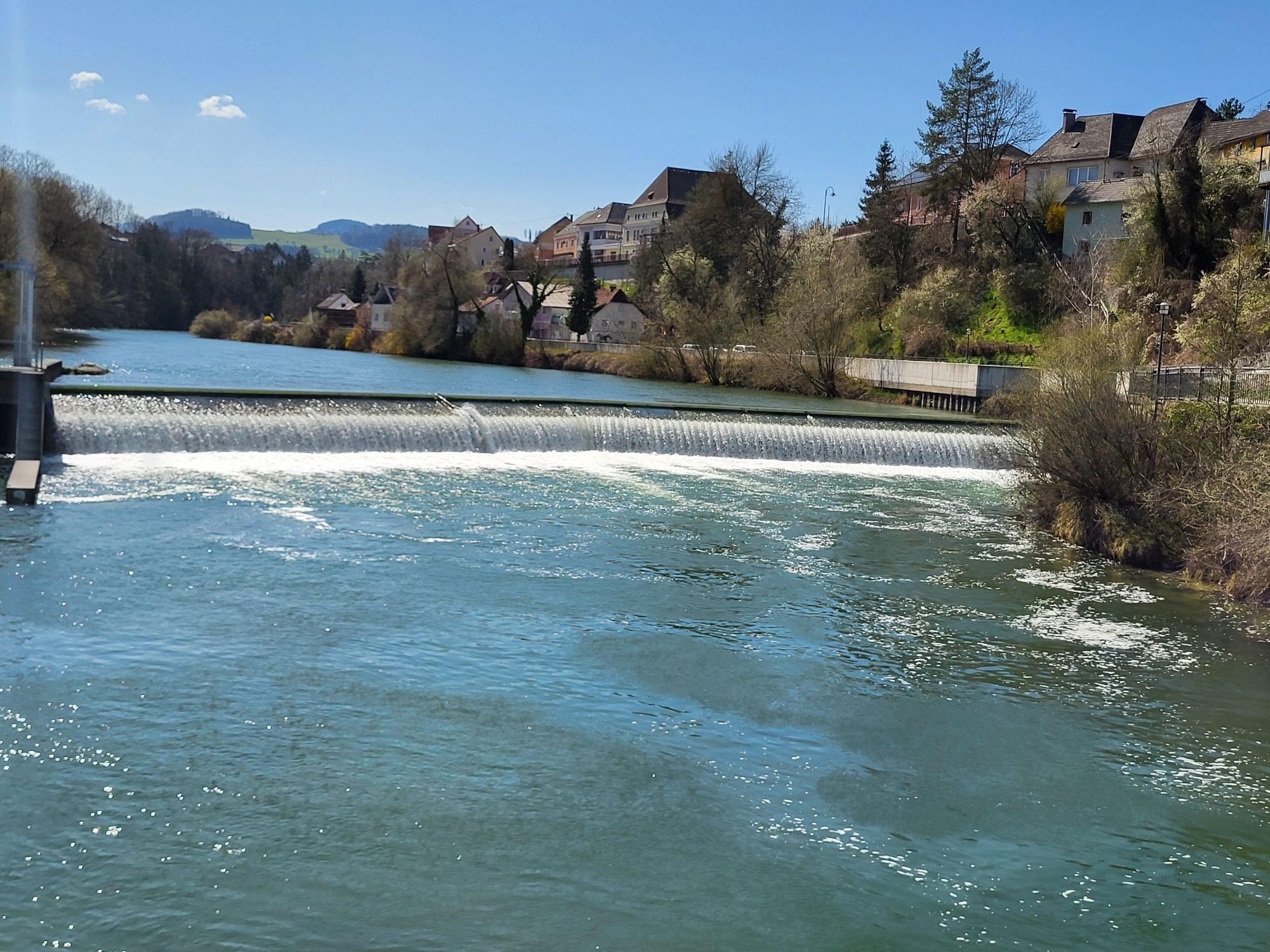
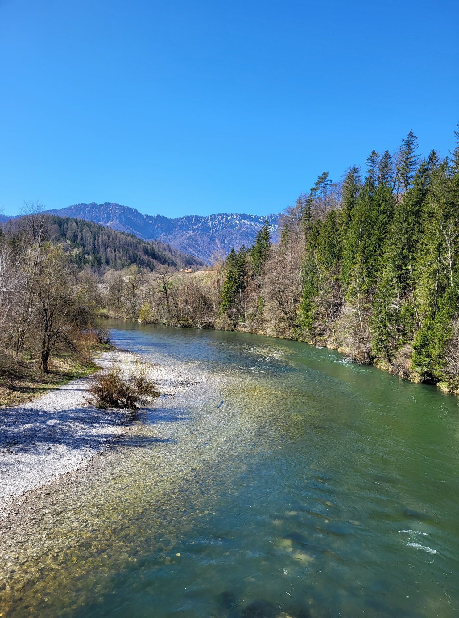
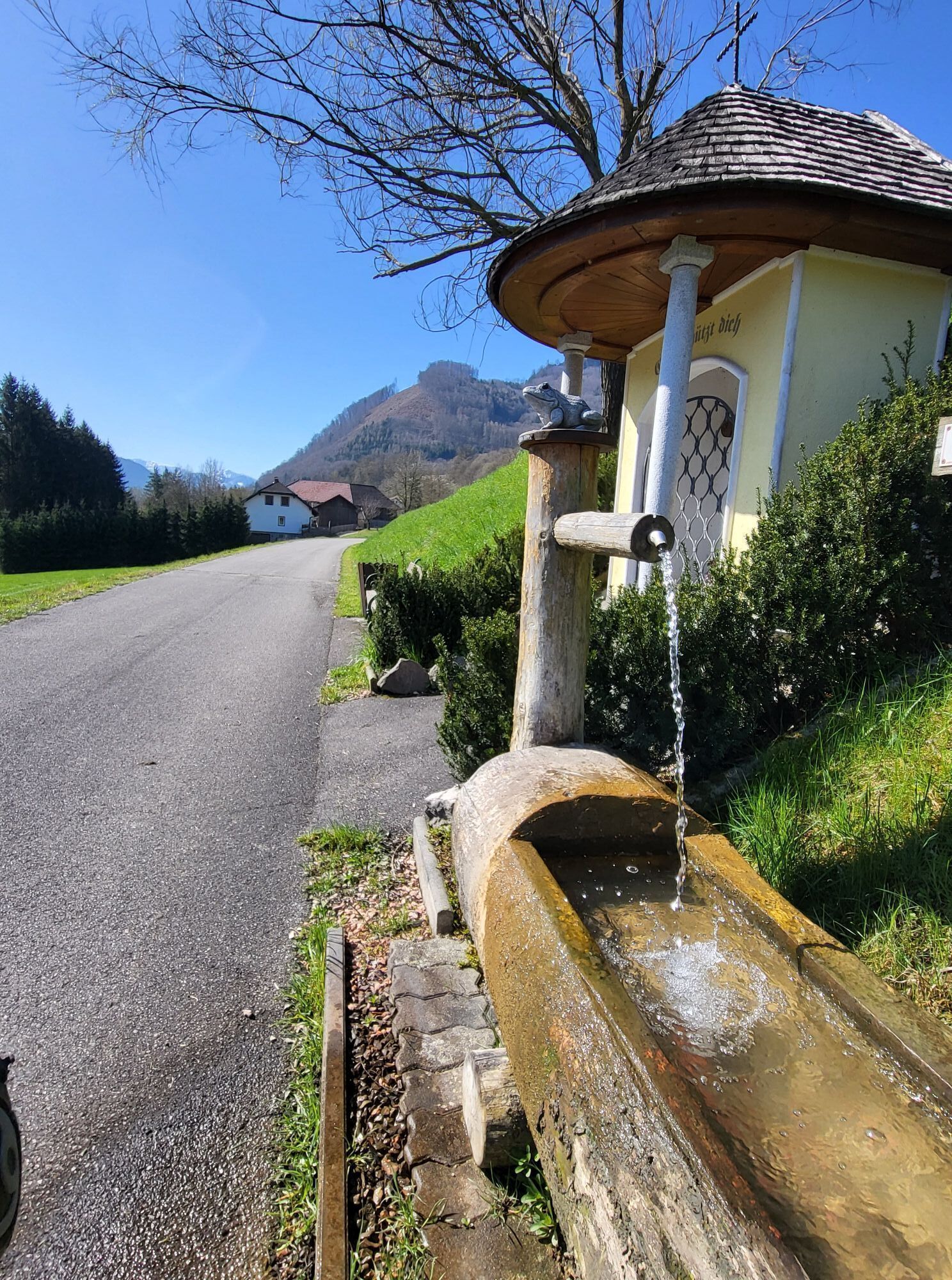
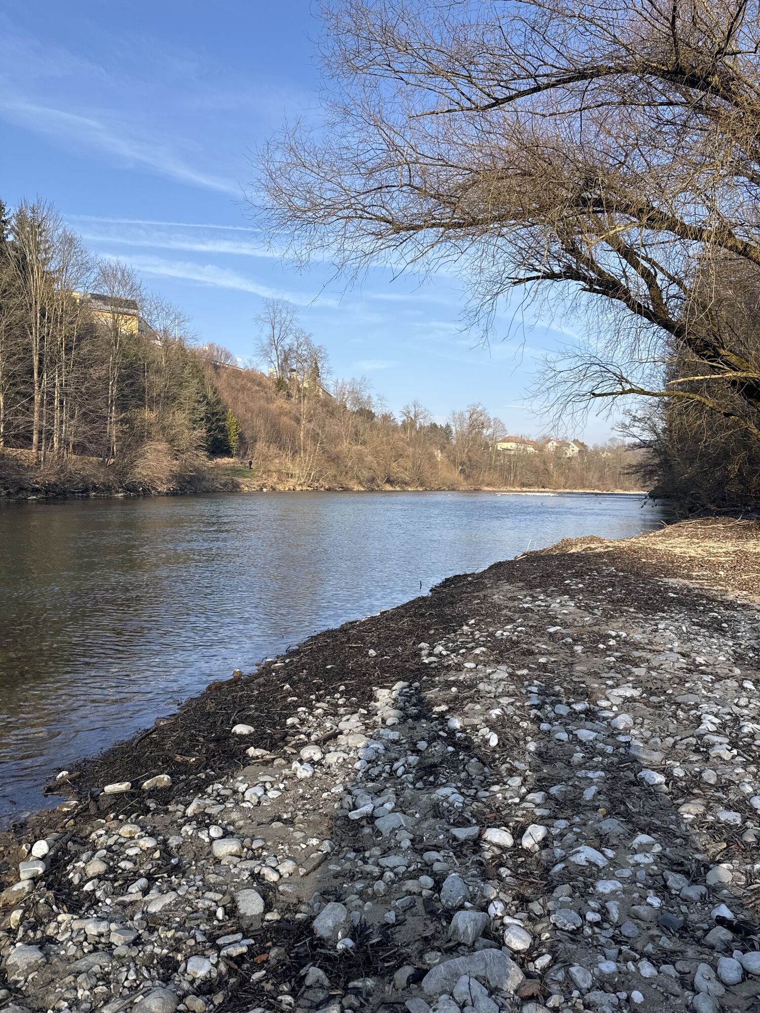
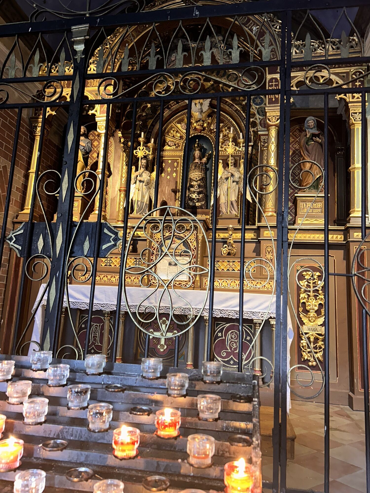
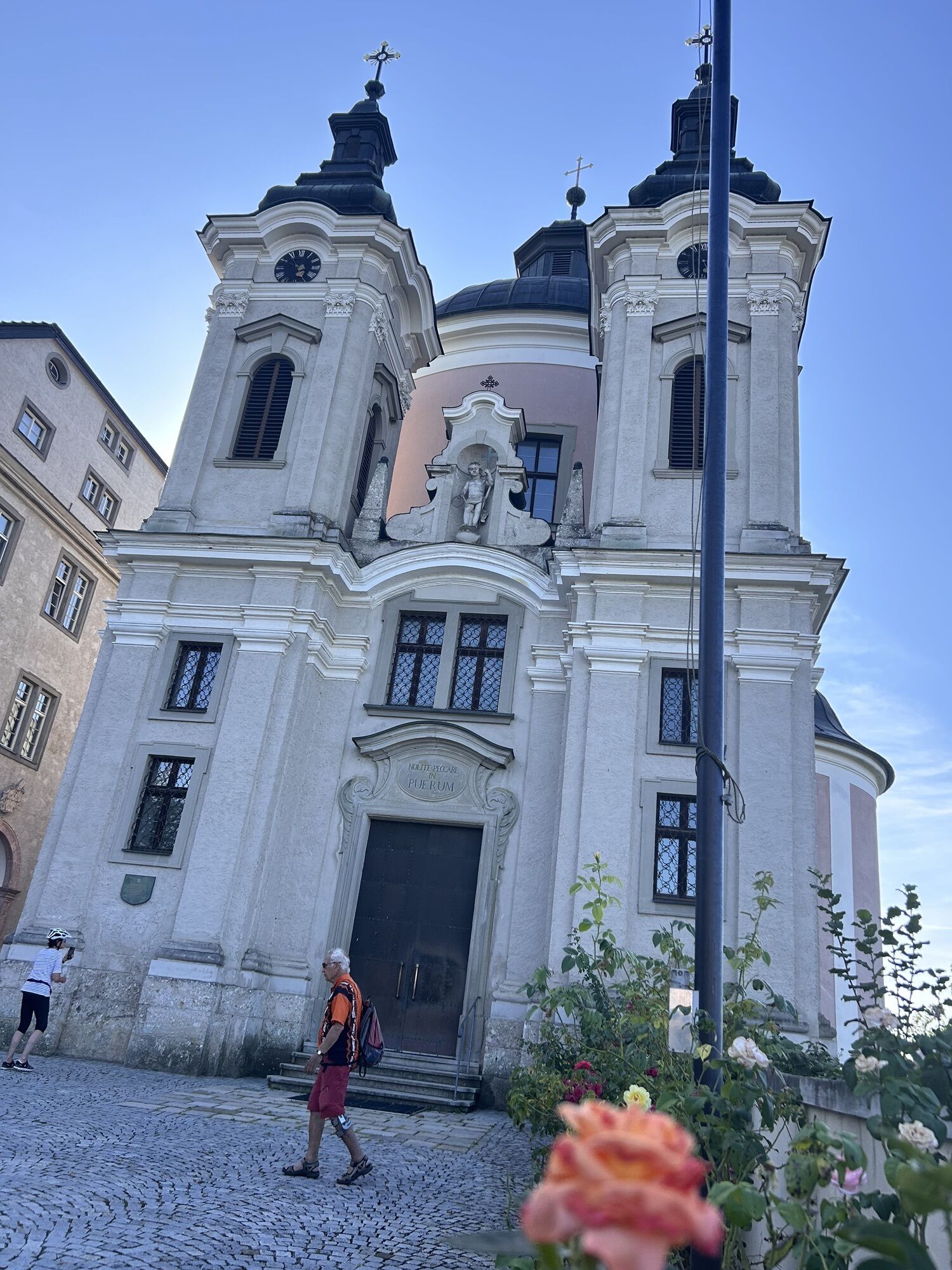
On your saddles, ready, go: Since the connection of the two bike routes R8 and R31, the Steyrtal cycle path is passable for about 75 kilometers - from the iron city Steyr to Spital am Pyhrn.

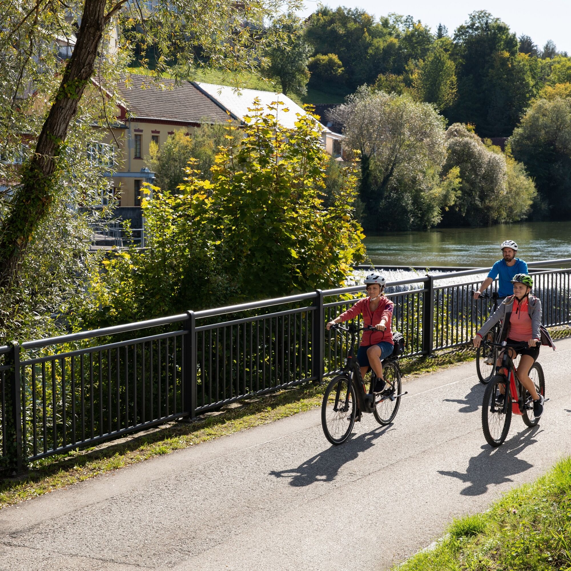
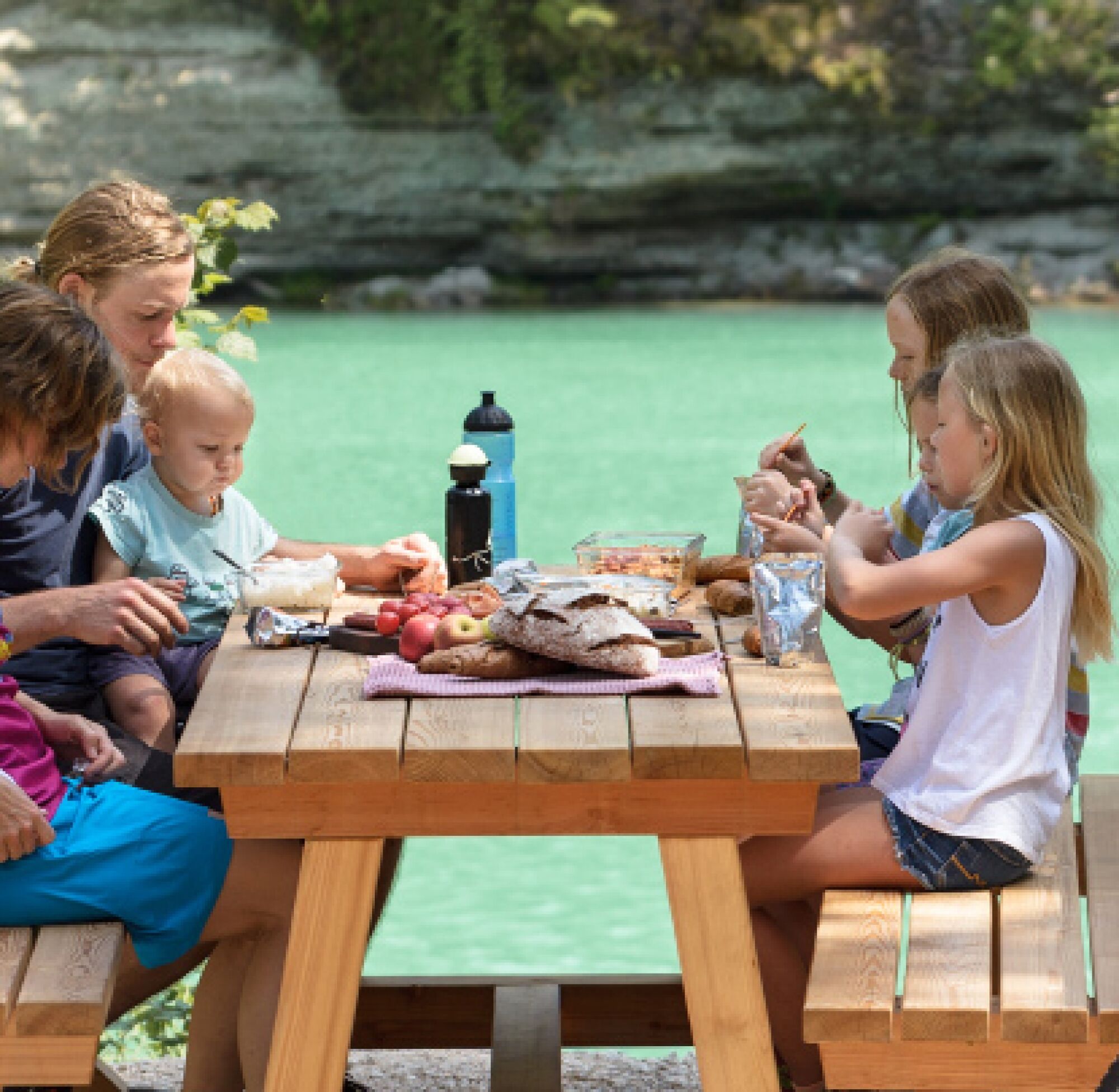


The family cycle trail R8 and then further the cycle path R31 runs close to the Steyr river with its bathing places, rest stops, experience stations, viewpoints and canyons - from Steyr in the north to Spital am Pyhrn in the south. Due to the mostly flat track, the Steyrtal cycle path is also very suitable for families.
Once the steam locomotive roared here
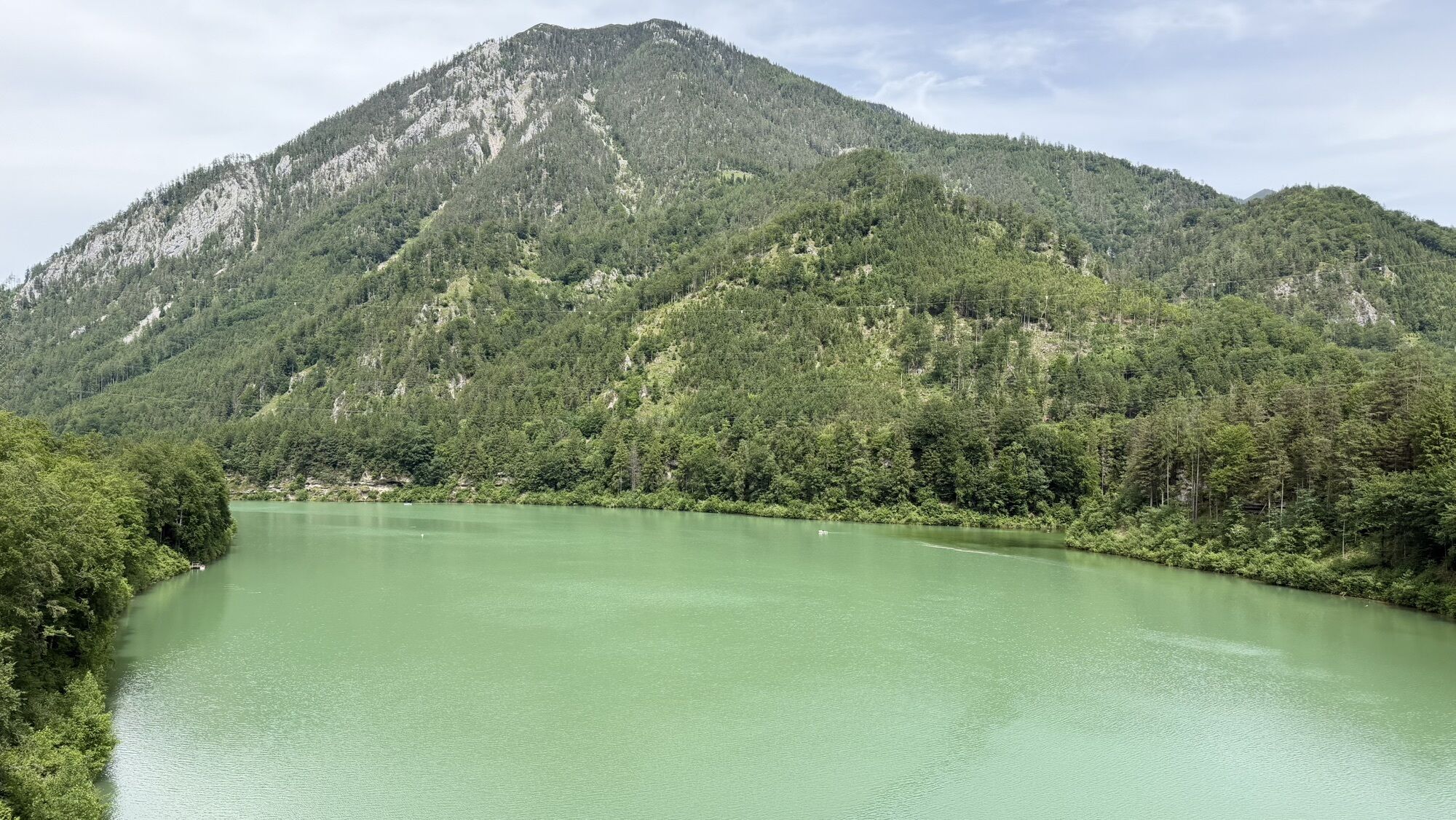
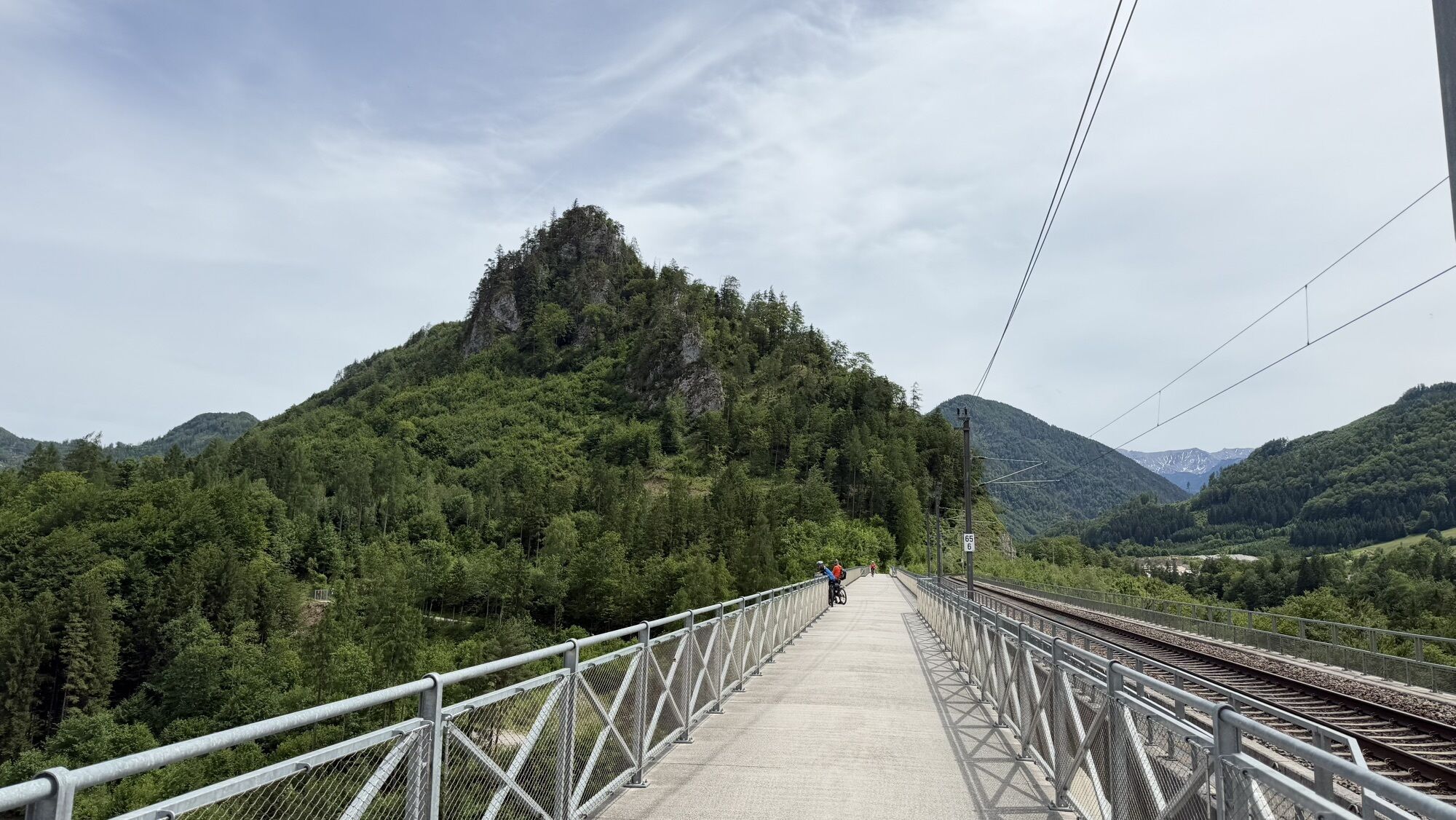
The section Untergrünburg - Klaus almost continuously follows the track of the Steyrtal railway. Today, this is operated as a museum railway between Steyr and Grünburg. From Klaus, the old 210-meter-long railway bridge was specially adapted for the cycle path connection. To make it suitable for cycling, the old wooden sleepers and posts were removed and replaced by a roadway deck made of sheet metal grates. The stage from Klaus mostly runs close to the elongated reservoir. If you want, you can swim, fish or rent a boat here before reaching the stage destination Steyrling. Back on the main route, it continues to the junction St. Pankraz, where the newly developed Pyhrn-Priel Panorama branches off. We continue on the R8 until you reach the town, where there is a charging station for e-bikes.
ATTENTION: In St. Pankraz, the name and number of the bike path change!
From now on, we ride on the Nationalpark Kalkalpen cycle path R31. Along the Teichl, it goes through forests and a beautiful valley floor towards Spital am Pyhrn. However, we stay on the main route and pass the Roßleithen train station to Windischgarsten. From here, first go right for a bit towards Gleinkersee, then turn left towards Spital am Pyhrn.
Remember rain or sun protection and a bike repair kit for minor breakdowns!
Check in advance at www.steyr-nationalpark.at for current road/path closures along the route!
Current map material is available at: www.steyr-nationalpark.at
At www.radshuttle.at you can conveniently book the bike shuttle bus on Saturdays/Sundays and public holidays. This will bring you back to the starting point. The current departure times and stops can be found here - please note the shuttle bus can only be booked in advance!

Webové kamery z prohlídky
-
Gammering - Hahnlgraben
-
Gammering - Hahnlgraben
-
Gammering - Hahnlgraben
-
Gammering - Hahnlgraben
-
Gammering - Hahnlgraben
-
Bergstation Wurzeralm 2
-
Bergstation Wurzeralm 2
-
Bergstation Wurzeralm 2
-
Bergstation Wurzeralm 2
-
Bergstation Wurzeralm 2
-
Gammering - Hahnlgraben
-
Micheldorf / Wienerberg
-
Steyrling
-
Bergstation Wurzeralm 2
-
Bergstation Wurzeralm 2
-
Burg Altpernstein
-
Klaus Zentrum
-
St. Ulrich - Damberg
-
Spital am Pyhrn / Genussstubn
-
Steyr
-
Steyr
-
Steyr
-
Steyr
-
Steyr
-
Trattenbacher GenussStubn



Oblíbené prohlídky v okolí
-
4.7
Bergwanderung auf den Spering
středníTuristika 7.50 km -
4.7
Grünburger Hut via Dorngraben Molln
středníTuristika 3.43 km -
4.6
Schoberstein (from Molln)
středníTuristika 3.63 km -
4.7
Hoher Nock von Rettenbach Rettenbach, Windischgarsten,
středníTuristika 11.5 km -
4.6
Rinnende Mauer - Gorge Trail
středníTuristika 7.20 km -
4.6
Dürres Eck - Gaisberg - Hochbuchberg
středníTuristika 11.2 km -
4.7
Kleiner und Großer Landsberg (3.7.2019) mit Sonnenuntergang
středníTuristika 3.51 km -
4.6
Pfaffenmauer - Schoberstein - Gipfel der Lust Gasthof Klausriegler, Oberösterreich/Österreich
středníTuristika 9.72 km -
4.6
4 Gipfel Tour im Almtal Bräumauer, Maisenkögerl, Hutkogel und Hochsalm
středníTuristika 9.80 km -
4.5
Steyrerhütte
středníTuristika 14.3 km
Pěší turistika a stopování


Nenechte si ujít nabídky a inspiraci pro vaši příští dovolenou
Vaše e-mailová adresa byl přidán do poštovního seznamu.





