







Benedict pilgrimage route Kremstal stage 1

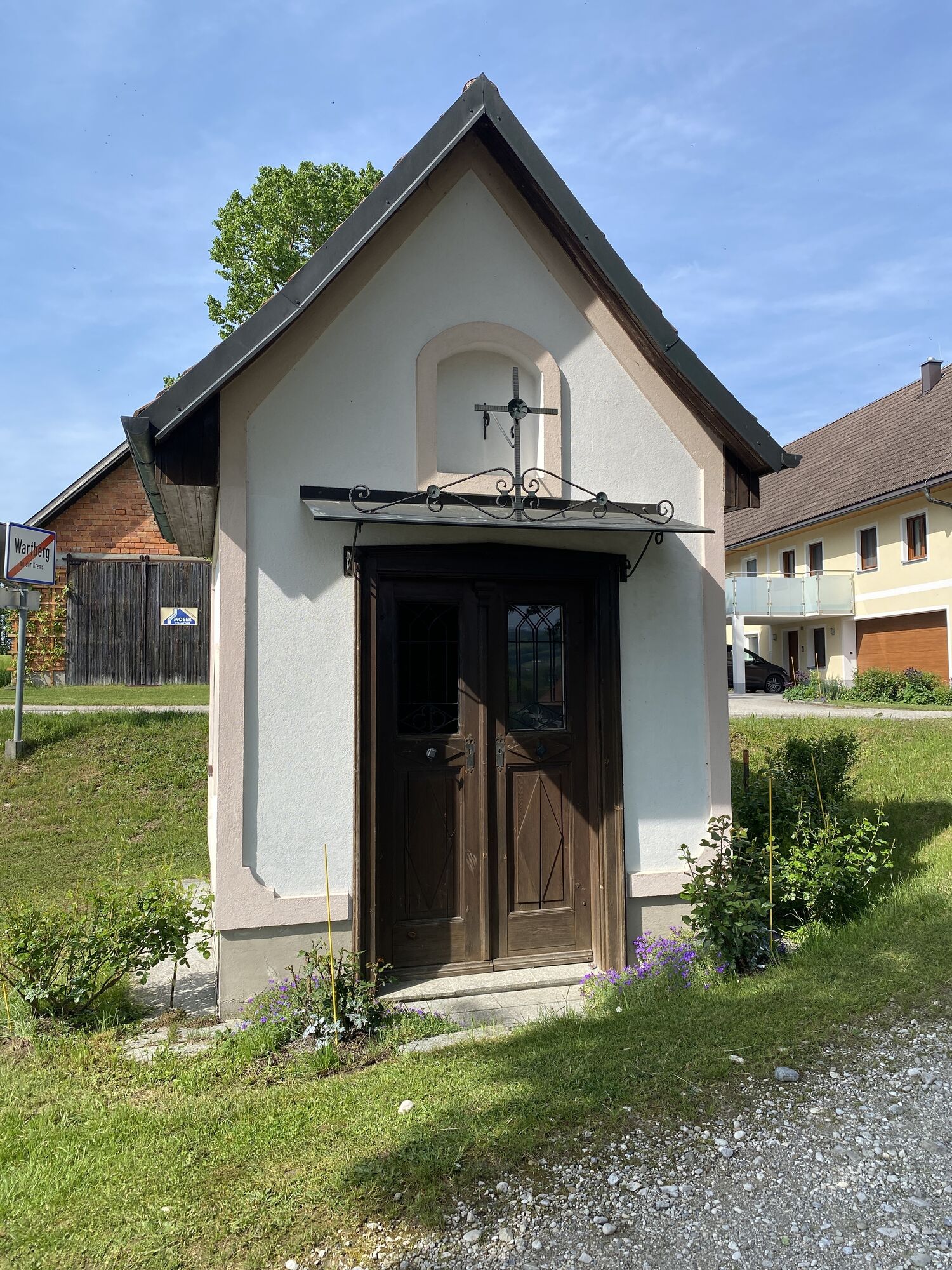

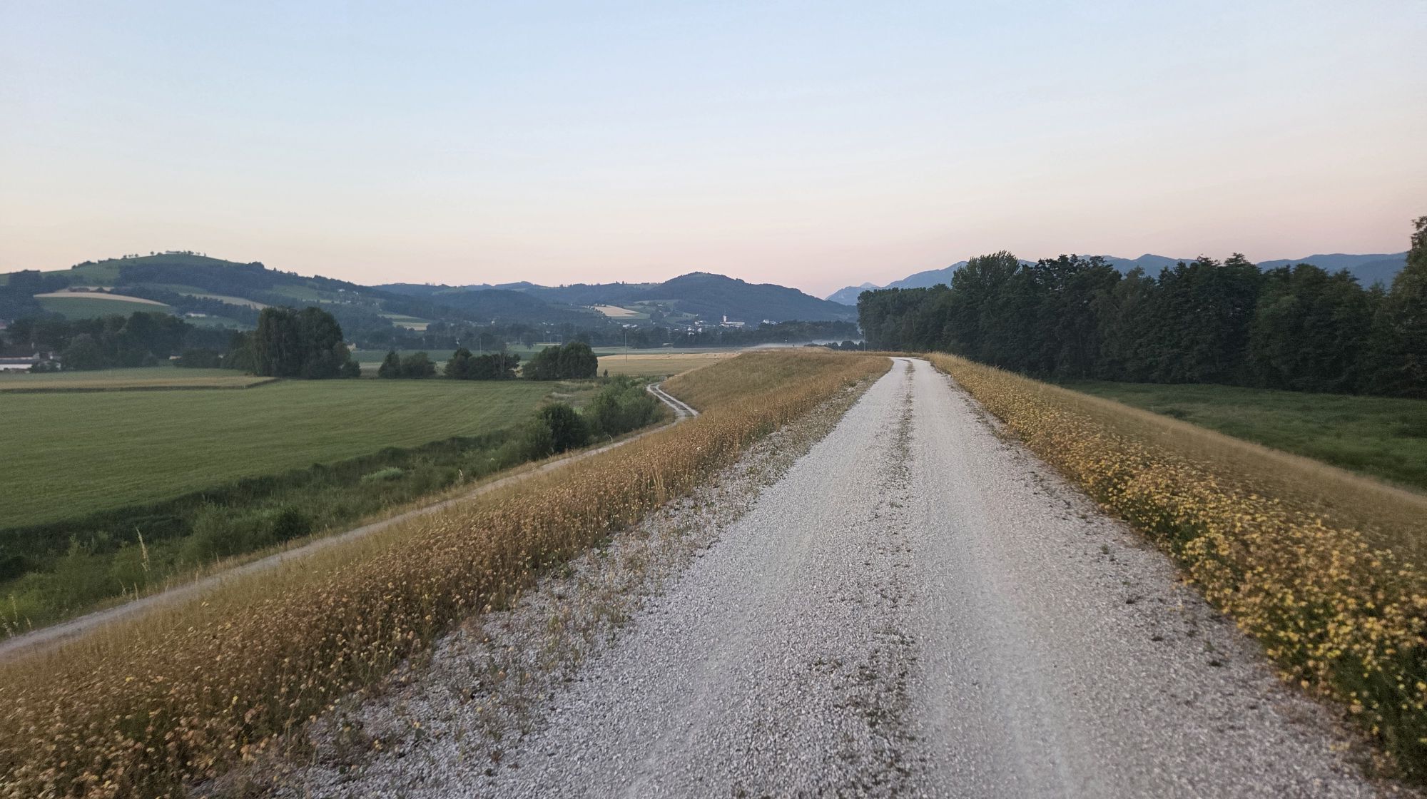
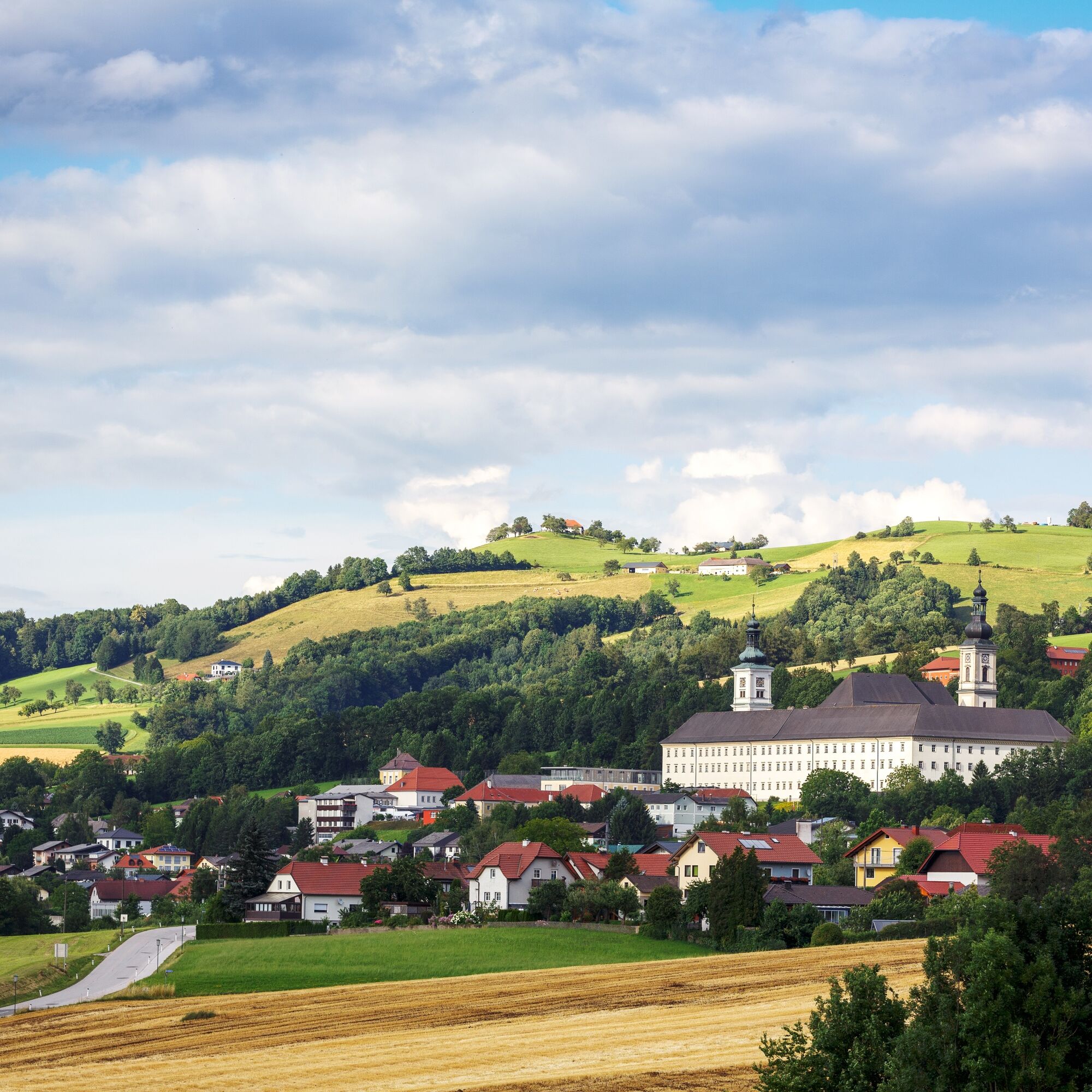
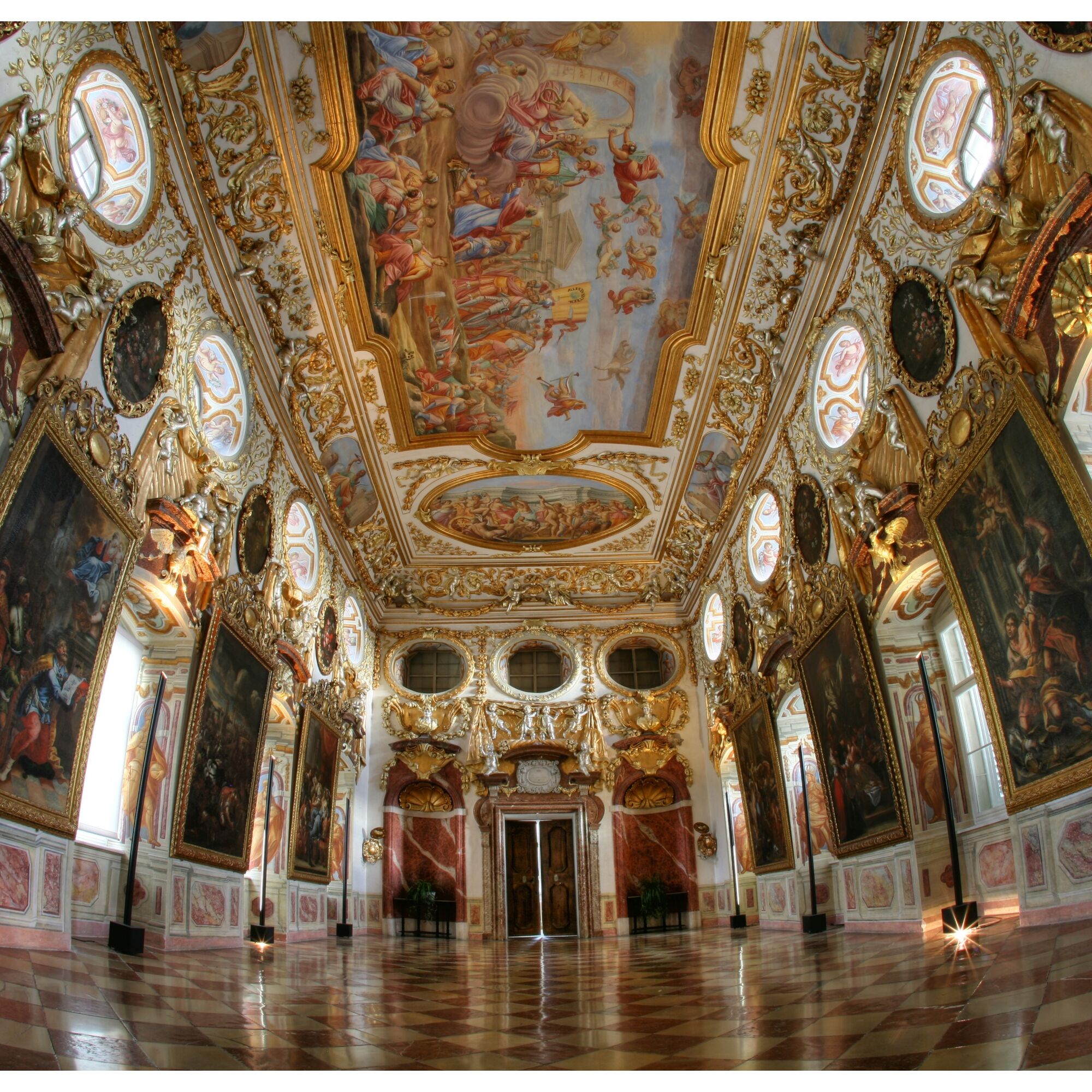
The trail leads from Schlierbach Cistercian Abbey past Dorff Castle through the villages of Hofern and Ellersbach directly onto the new dam path from the retention basin in the Kremsauen. Along the Krems...
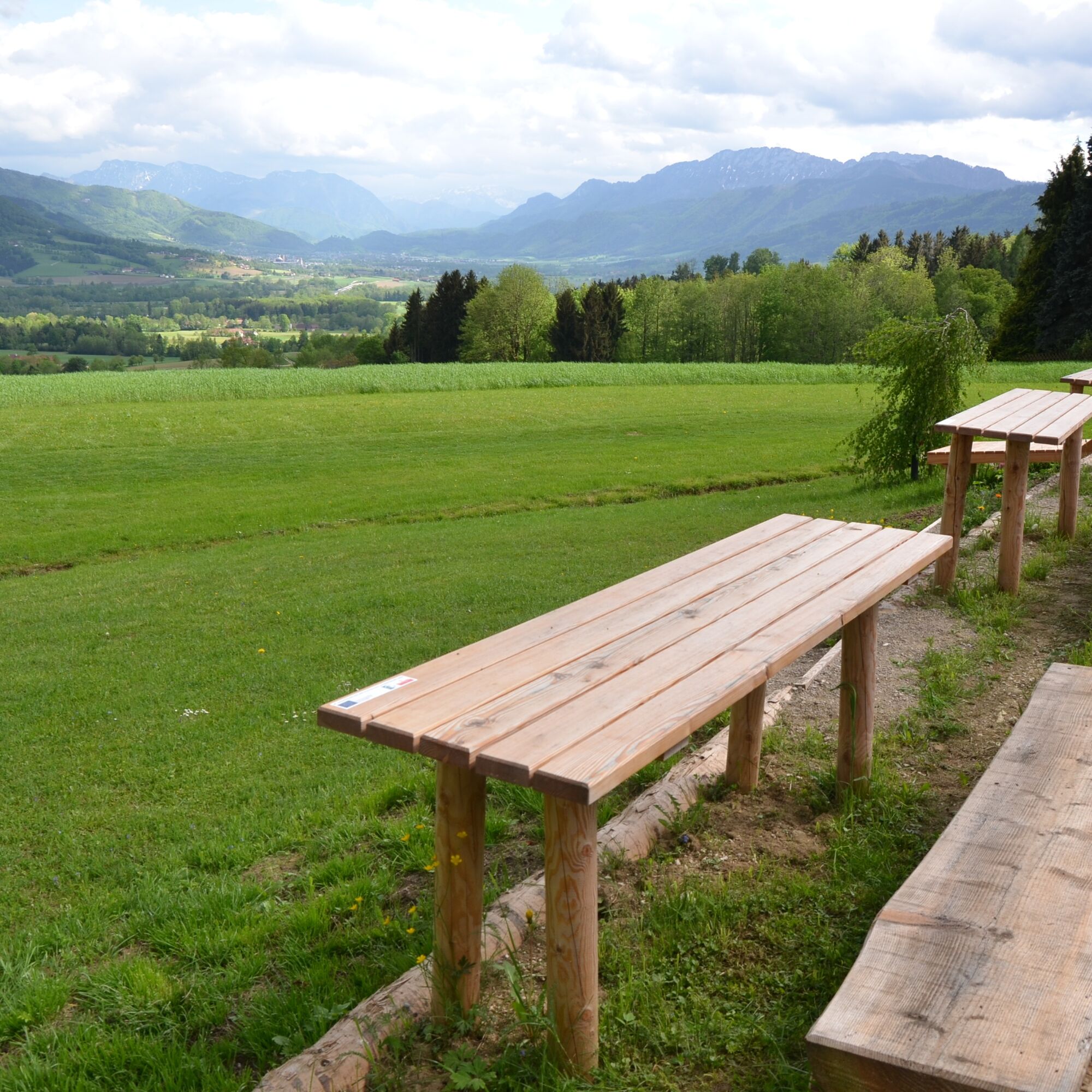
The trail leads from Schlierbach Cistercian Abbey past Dorff Castle through the villages of Hofern and Ellersbach directly onto the new dam path from the retention basin in the Kremsauen. Along the Krems river there are marvellous resting places to pause, enjoy and recharge your batteries. The repeated change of perspective is also fascinating, with the Cistercian abbey of Schlierbach, the Magdalenaberg church, the Georgenberg and Altpernstein castle showing their best sides, but the fascination always remains the same.



In Wartberg, you can stop off at a traditional inn or a traditional bakery-cafe, and we also recommend a detour to the beautiful late Gothic parish church with its Baroque spire. Well-fuelled and full of energy, the route now continues south-westwards via the Hubertus Chapel, following the Ramwoldn farm track up to the villages of Strienzing and Maisdorf and on to the Mayr barbecue school. The first stage of the day ends here.

Oblíbené prohlídky v okolí
-
4.7
Grünburger Hut via Dorngraben Molln
středníTuristika 3.43 km -
4.7
Kleiner und Großer Landsberg (3.7.2019) mit Sonnenuntergang
středníTuristika 3.51 km -
4.5
Rinnende Mauer - Gorge Trail
středníTuristika 7.20 km -
4.6
4 Gipfel Tour im Almtal Bräumauer, Maisenkögerl, Hutkogel und Hochsalm
středníTuristika 9.80 km -
4.5
Nackter Kalbling & Pfannstein & Rauher Kalbling
středníTuristika 12.0 km -
4.2
Rinnerberger Waterfall - Gorge
středníTuristika 7.55 km -
4.4
Mittagstein und Hochsalm
středníTuristika 9.53 km -
4.4
Eiskogel (1087m) und Pernecker Kogel (1080m) ab Parkplatz Kronbauer
světloTuristika 4.77 km -
4.4
Meisenkögerl
světloTuristika 3.29 km -
4.3
Gaisberg und Dürres Eck über Mollner Hütte
středníTuristika 9.98 km

Pěší turistika a stopování


Nenechte si ujít nabídky a inspiraci pro vaši příští dovolenou
Vaše e-mailová adresa byl přidán do poštovního seznamu.





