


Donausteig Stage 4_G04 Perg - Mitterkirchen: "Along the log rafting canal through Machland"
This Donausteig stage starts in the historic town of Perg on the northern edge of the Machland plain. The atmospheric main square with its imposing parish church and richly decorated citizen facades is...
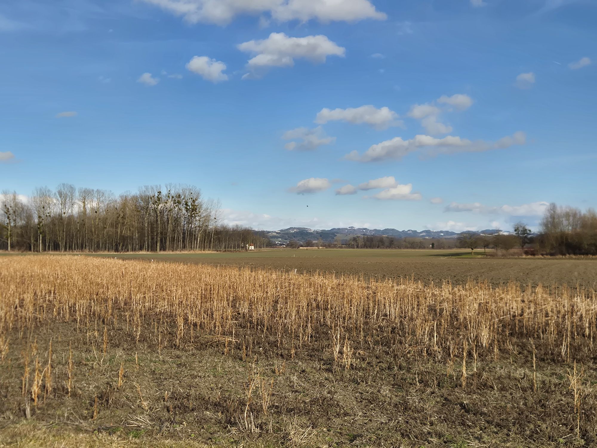
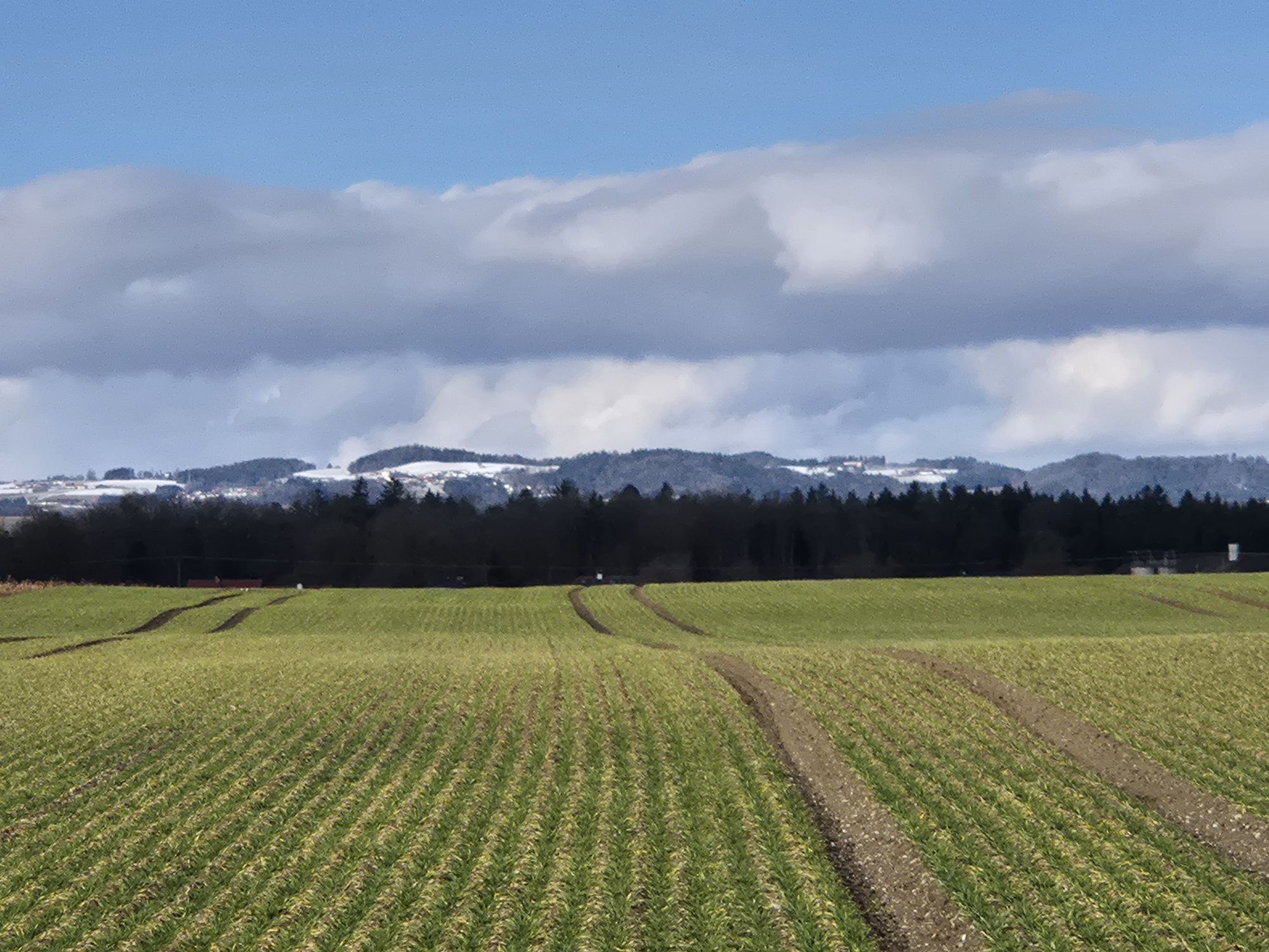
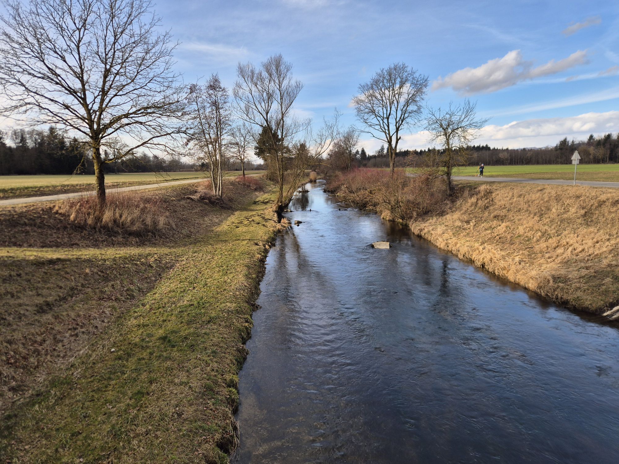
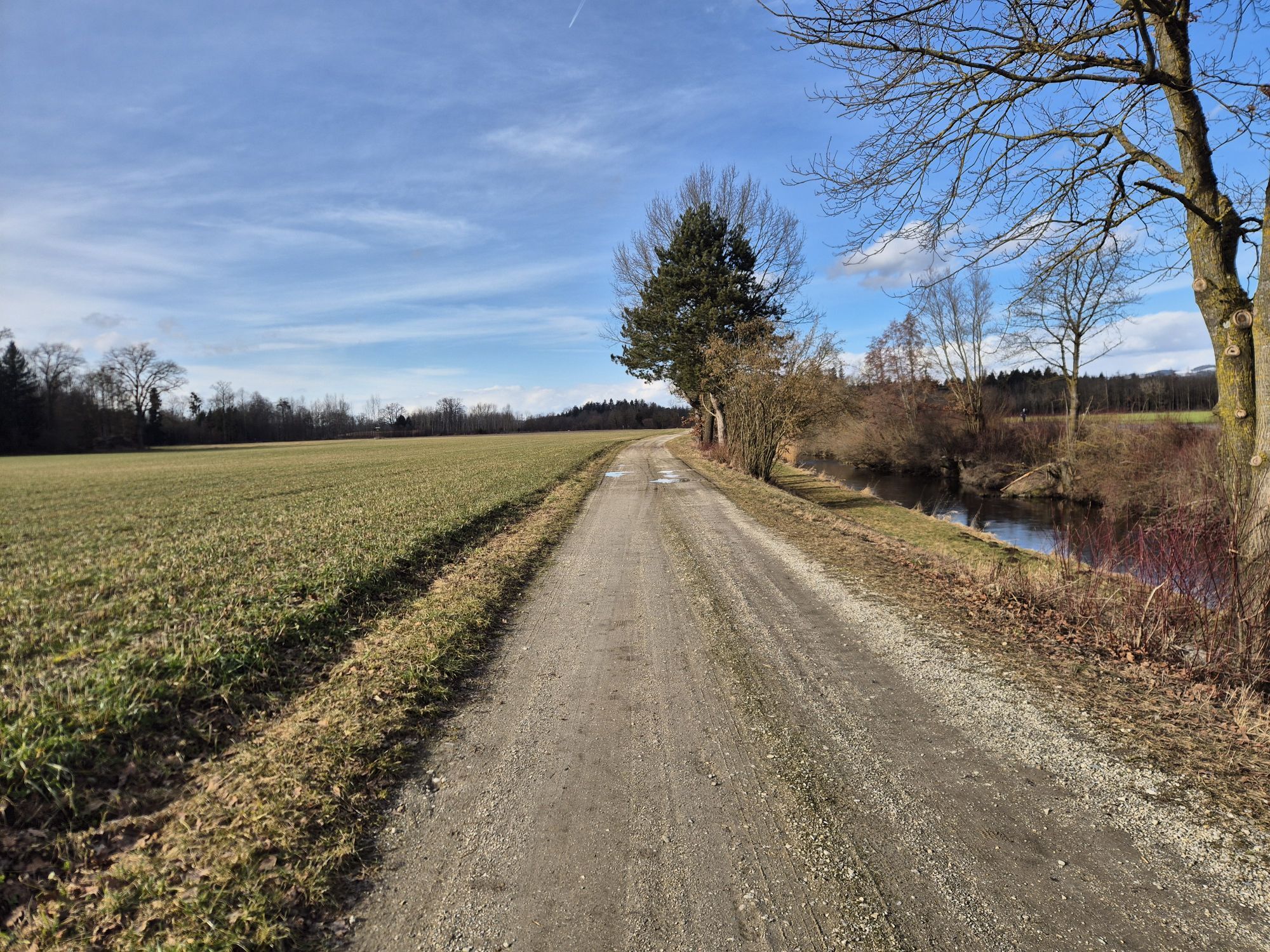
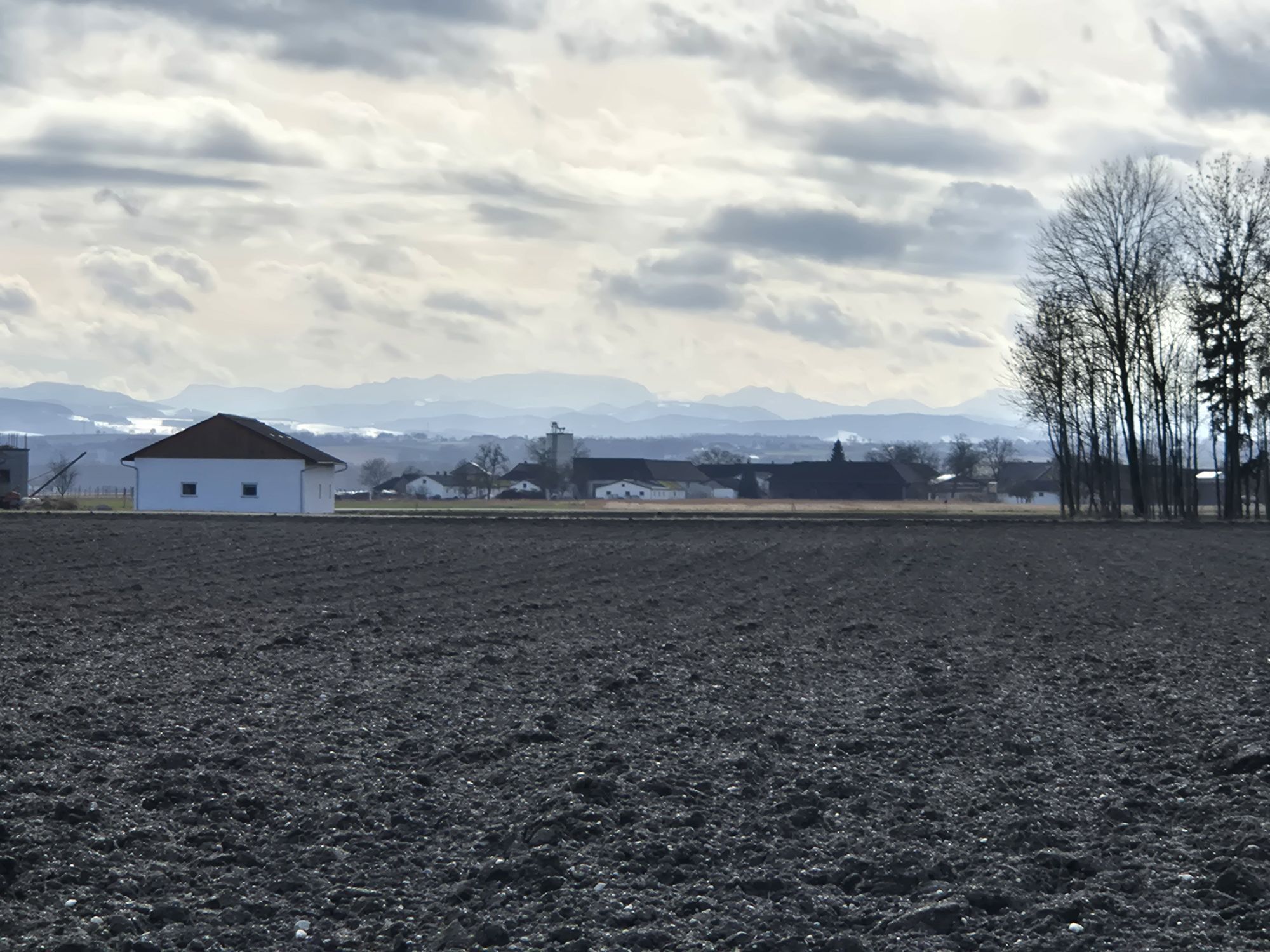
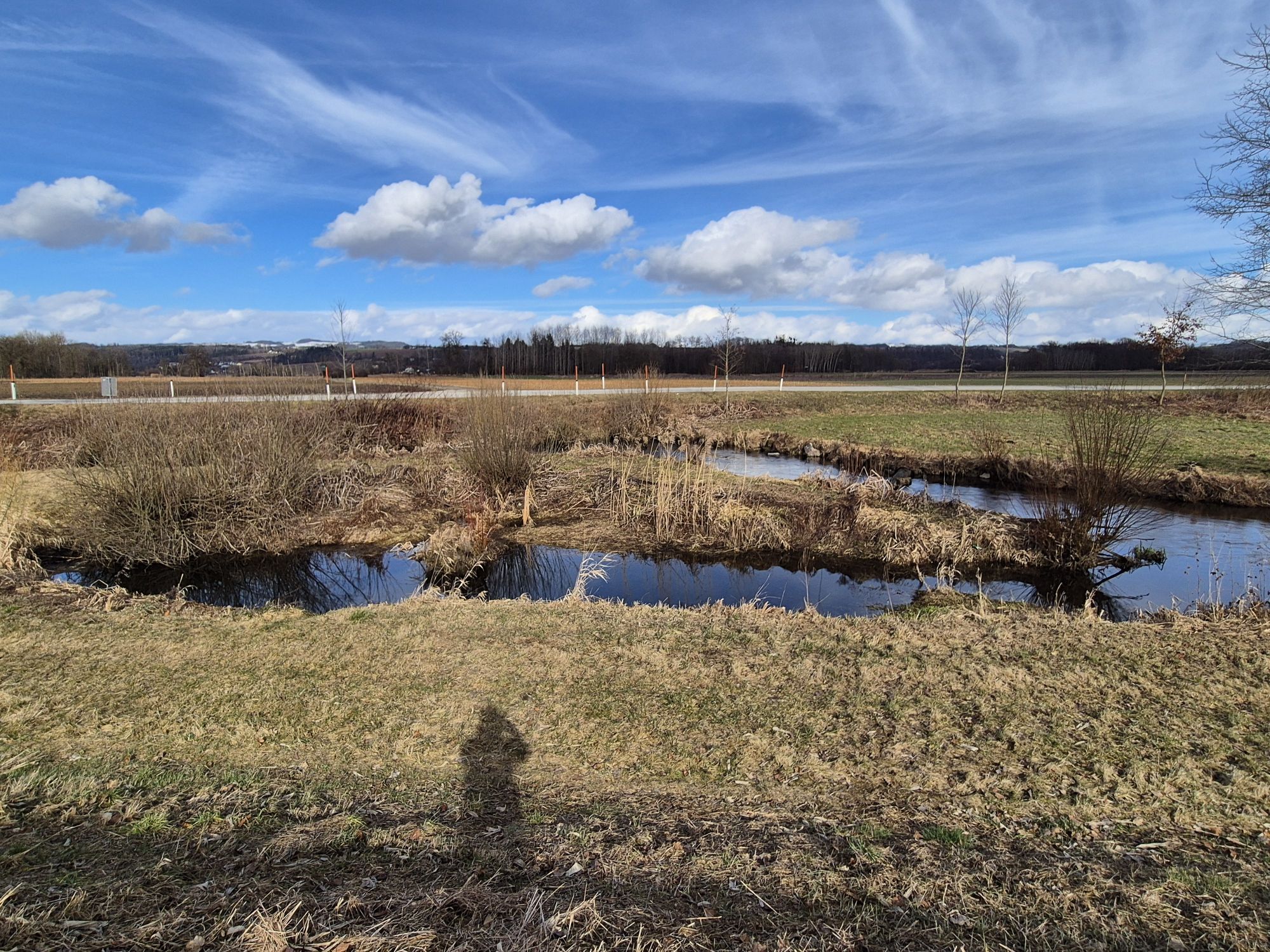
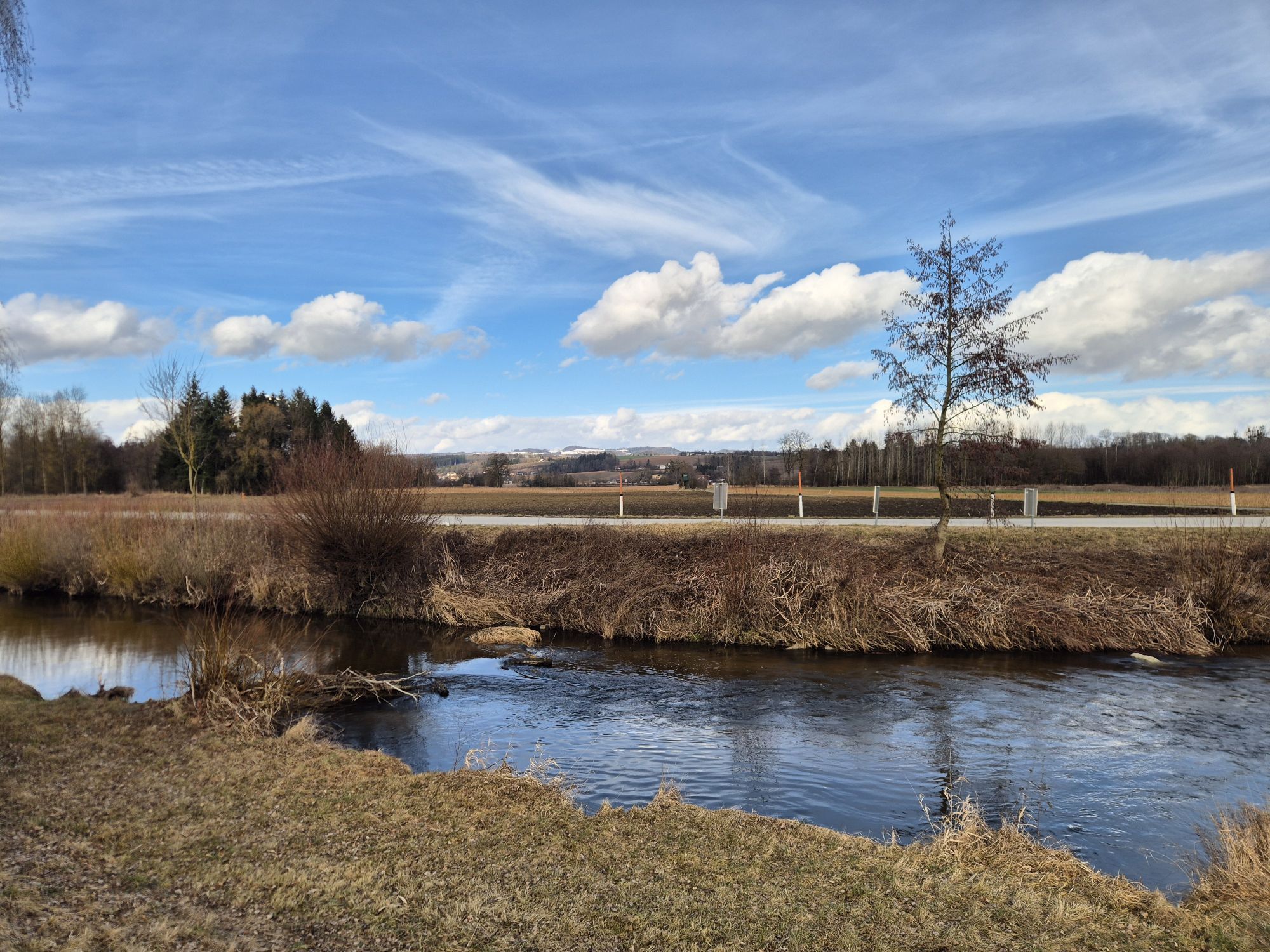
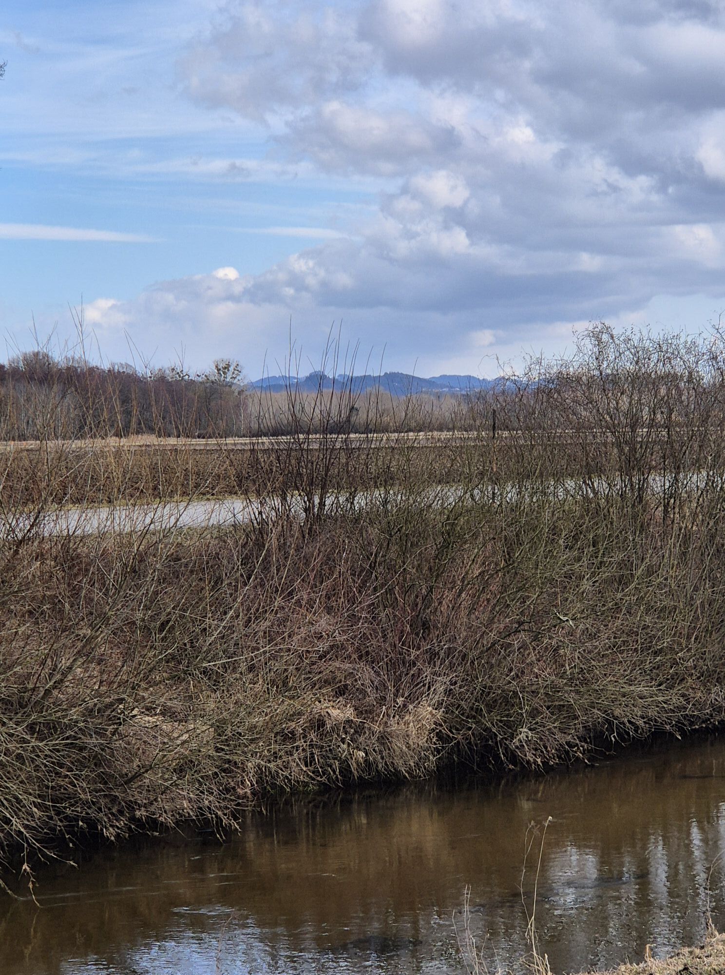
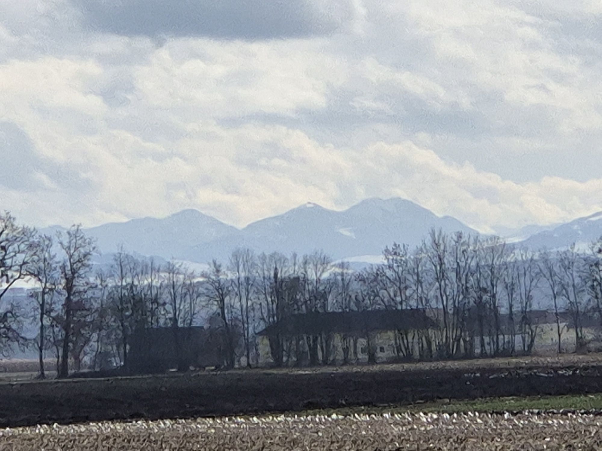
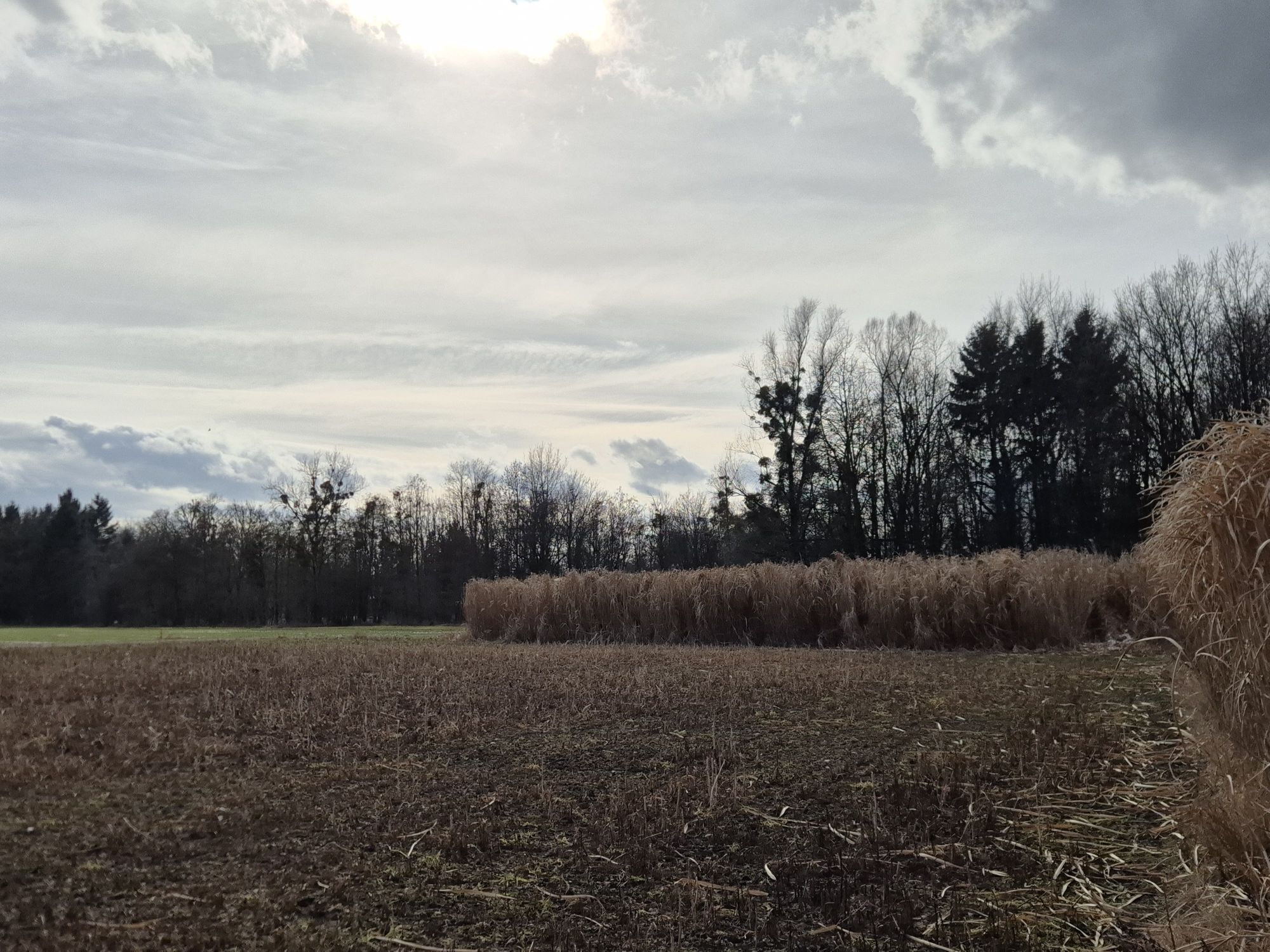
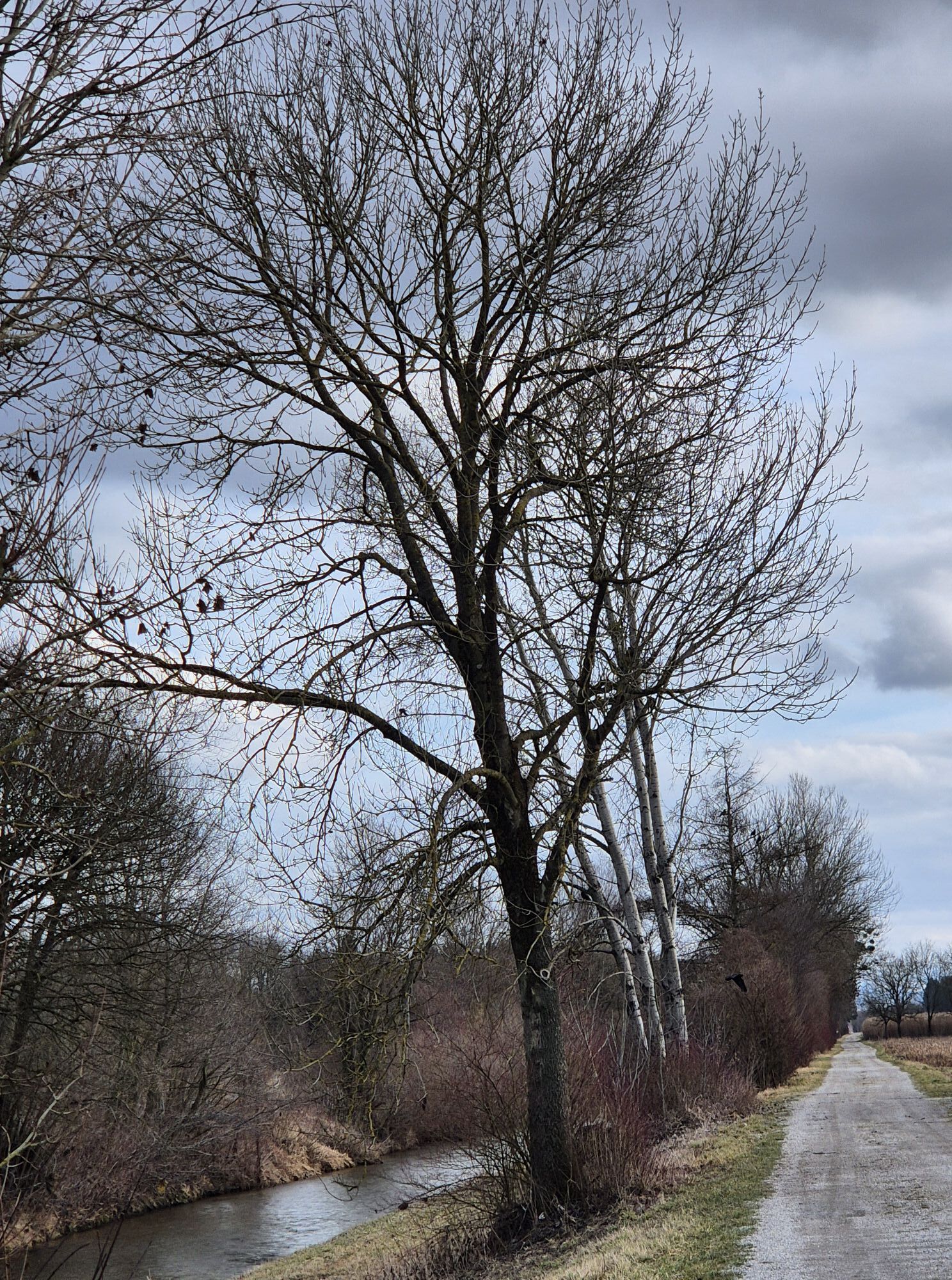
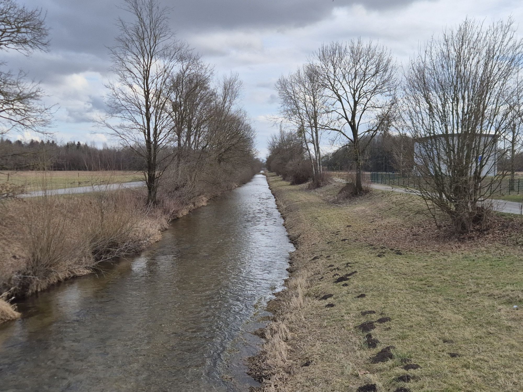
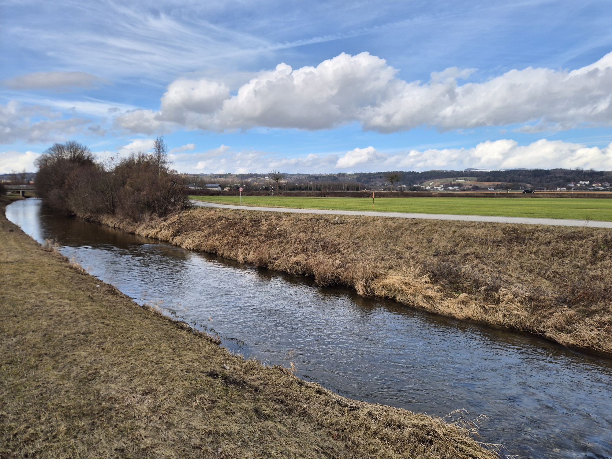
This Donausteig stage starts in the historic town of Perg on the northern edge of the Machland plain. The atmospheric main square with its imposing parish church and richly decorated citizen facades is already the first highlight. Hidden clues here tell us about the city's former pan-European significance through its millstone production. Still in the town center, we encounter the next highlight, the Naarn river. Here it leaves the hilly Mühlviertel and flows through the fertile Machland plain to the Danube. Now unremarkable, the Naarn used to be one of the most important log rafting rivers along the Danube. This silent witness now leads us through Machland. At the old log rafting site, now a settlement, we leave the town area of Perg and enter the lonely expanse of the Machland plain. Lush riverside trees and fertile fields line the gravel river path. Soon, the strictly regulated Naarn canal runs straight through the flat Machland. The straight route and the felt isolation invite reflection! A welcome rest is offered by the Donausteig rest area "Haid". Afterwards, paved farm roads and farmsteads underscore the human habitat "Machland". However, the flood protection facilities of the village Wagra quickly show us the constant threat of flooding to these houses. The final highlight of this stage is the Machland dam. Between Labing and Mitterkirchen, the true dimension of this century project can be impressively experienced – simply amazing!
Discover the following features with the Donausteig diary:
- Donausteig starting point "Perg"
- Perg – the city of millstones
- Log rafting on the Naarn
- At the log rafting site
- River regulation in transition!
- Renaturation – copied from nature
- Donausteig rest area "Haid"
- Wallsee and the Danube Limes
- ...
Download: Donausteig Diary Stage 4_G04 Perg-Mitterkirchen
From the Donausteig starting point at the main square in Perg, the path first follows Doktor-Schober-Straße to the Naarn river. Before the bridge, turn right into Terpenitzgasse. At the next intersection, turn left into Herrenstraße and follow it to the Naarn bridge. Immediately after the bridge, turn right and follow the footpath along the Naarn river. Passing the playground and the sports field, you will soon cross the tracks of the Donauuferbahn railway. Shortly after, cross the Naarn bridge to the other side of the river. A short section of asphalt road then passes the "Schwemmplatz" settlement. The settlement road quickly turns into a gravel road and follows the strictly regulated Naarn canal. After about 4.5 km, the Donausteig rest area "Haid" is reached. From there, cross the bridge to the east bank of the Naarn and follow the asphalt road to the right towards Wagra. At the floodgate, continue straight ahead. After about 400 m, the Donausteig turns left onto an asphalted farm road. At the next street intersection, turn right. After another 40 m, the Donausteig meets the route of the next stage. This is also the junction for the detour to the Celtic village of Mitterkirchen, about 500 m away! From here, the asphalt road leads back to Labing. There, pass through the floodgate and immediately after the bridge turn left. Follow the asphalt road to the next intersection and turn right. After about 500 m, the Donausteig starting point "Mitterkirchen" is reached.
To help you with orientation, the Donausteig is equipped with its own orientation system – the description can be found here.
In addition to personal hiking equipment, a snack should be taken along as there are no dining options along the route.
The town center of Perg is mostly a short-term parking zone. Several long-term parking lots (partially paid) are located 5-10 minutes on foot from the town center.
WGD Donau Oberösterreich Tourismus GmbH
Lindengasse 9
4040 Linz, Austria
Tel. +43(0)732/7277-800
Fax. +43(0)732/7277-804
info@donausteig.com
City Marketing Perg
Linzerstr. 2
4320 Perg
Tel.: +43(0)7262/53150 Fax: Ext. 16
info@perg.at
www.stadtmarketing.perg.at
www.perg.at
Market Municipality Office Mitterkirchen
4343 Mitterkirchen 50
Tel.: +43(0)7269/8255-0 Fax: Ext. 25
gemeinde@mitterkirchen.ooe.gv.at
www.mitterkirchen.ooe.gv.at
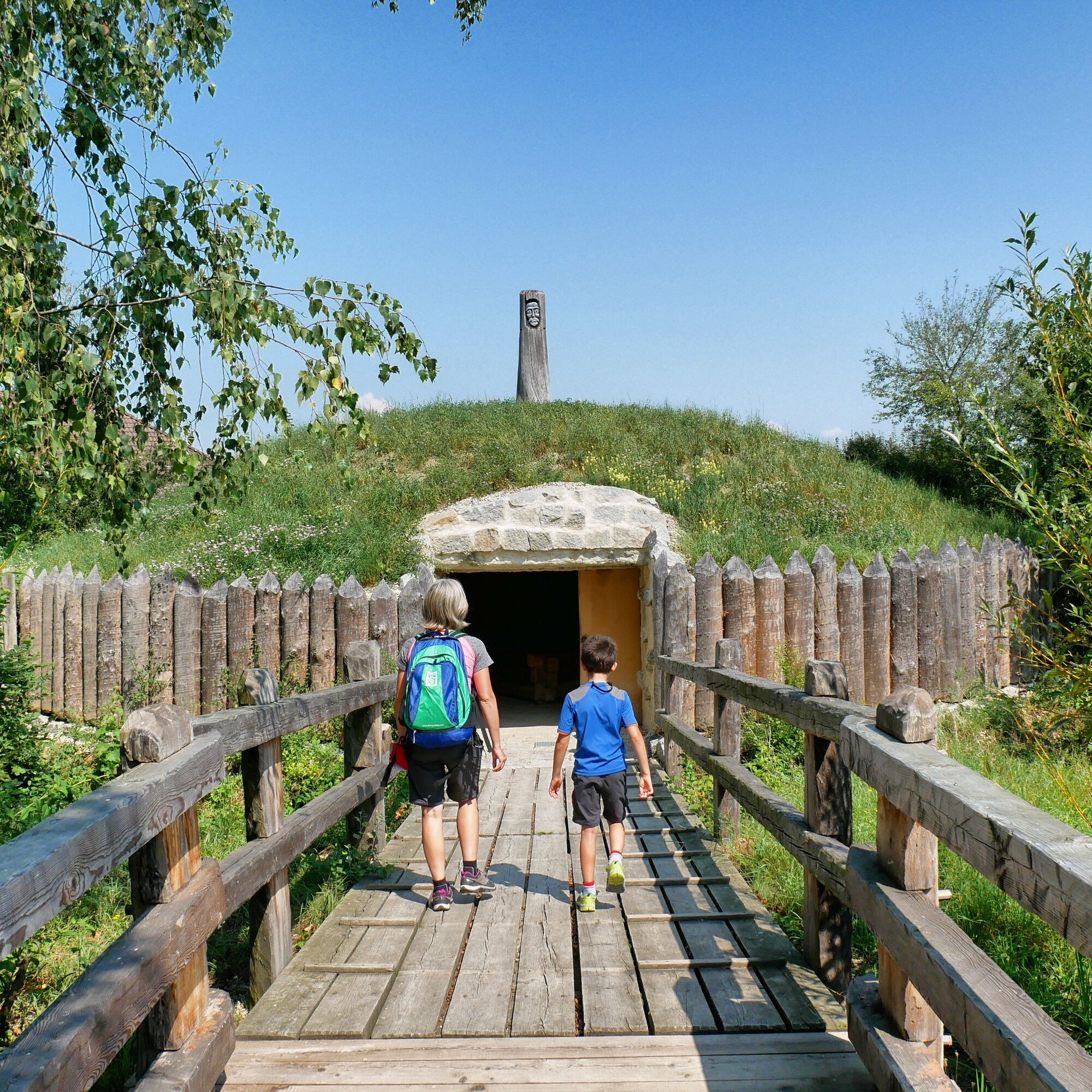
Those who hike this stage of the Donausteig as a single day hike should definitely take a short detour to the next stage – to the Celtic village of Mitterkirchen. This interactive museum offers an up-close insight into the life of the Machland Celts!

Oblíbené prohlídky v okolí
- 4,4
Der Naturparkweg in Rechberg
středníTuristika 7,54 km - 4,6
Schwertberg: Weltstoarunde
světloTuristika 11,4 km - 4,8
Tragwein - Lebensquell-Runde
světloTuristika 12,8 km - 4,4
Gobelwarte - Grein, Oberösterreich
středníTuristika 5,41 km - 4,4
Gobelwarte-Runde, Grein
středníTuristika 8 km - 4,6
Brandstetterkogel über Matras Steig
světloTuristika 6,28 km - 4,0
Wolfsschlucht - auf den Spuren adeliger Kurgäste
Turistika 2,29 km - 4,1
Wallsee Altarmrunde
světloTuristika 8,19 km - 4,6
Die Blasenstein-Runde, Oberösterreich
středníTuristika 11,8 km - 4,5
R1.14 Monsteinský okruh
středníJízda na kole 27,0 km

Pěší turistika a stopování


Nenechte si ujít nabídky a inspiraci pro vaši příští dovolenou
Vaše e-mailová adresa byl přidán do poštovního seznamu.