







Donausteig stage 3_N06 Ottensheim - Linz: “Summit attack - from the Eferding Basin into the Linz Basin”
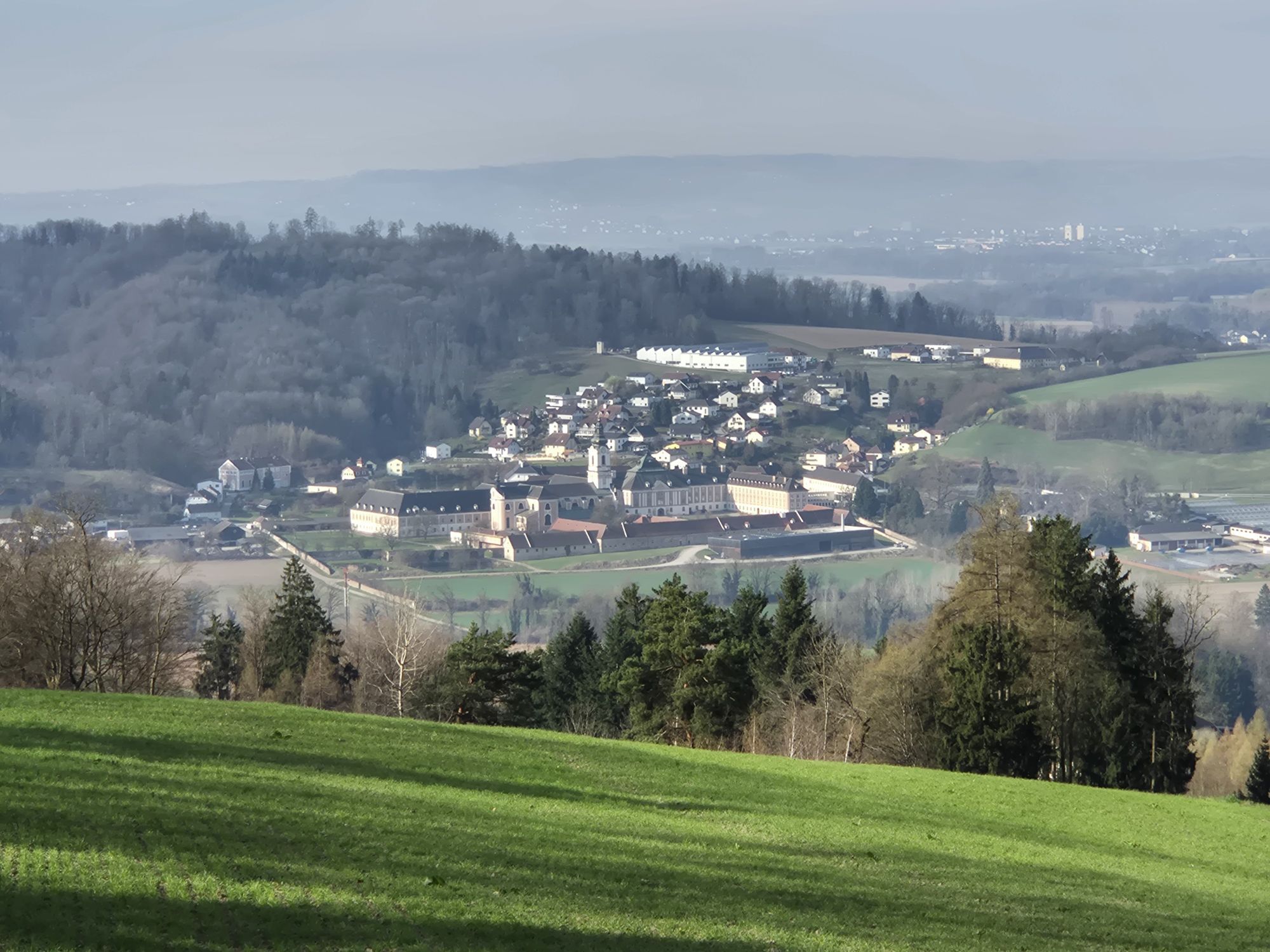
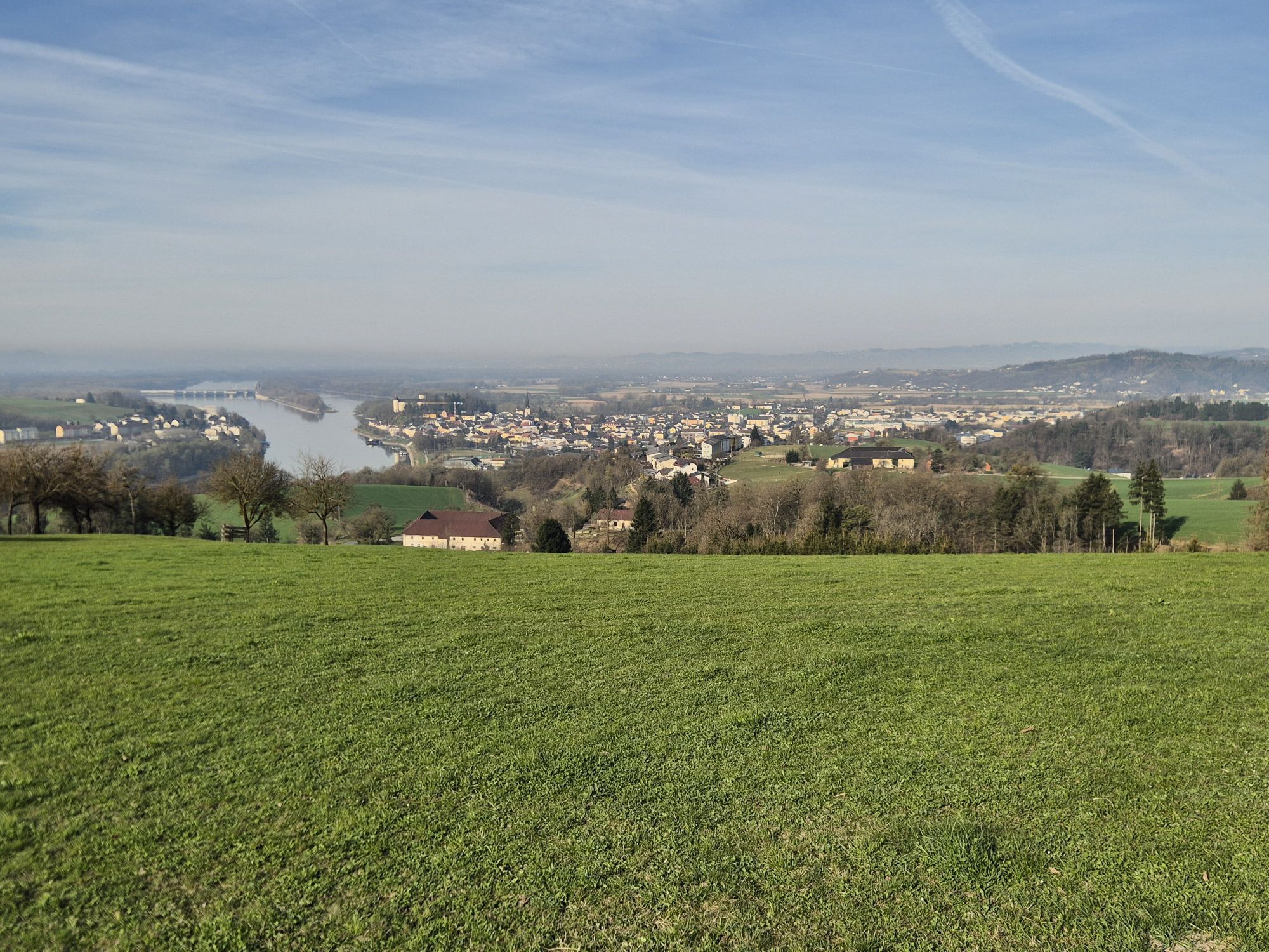
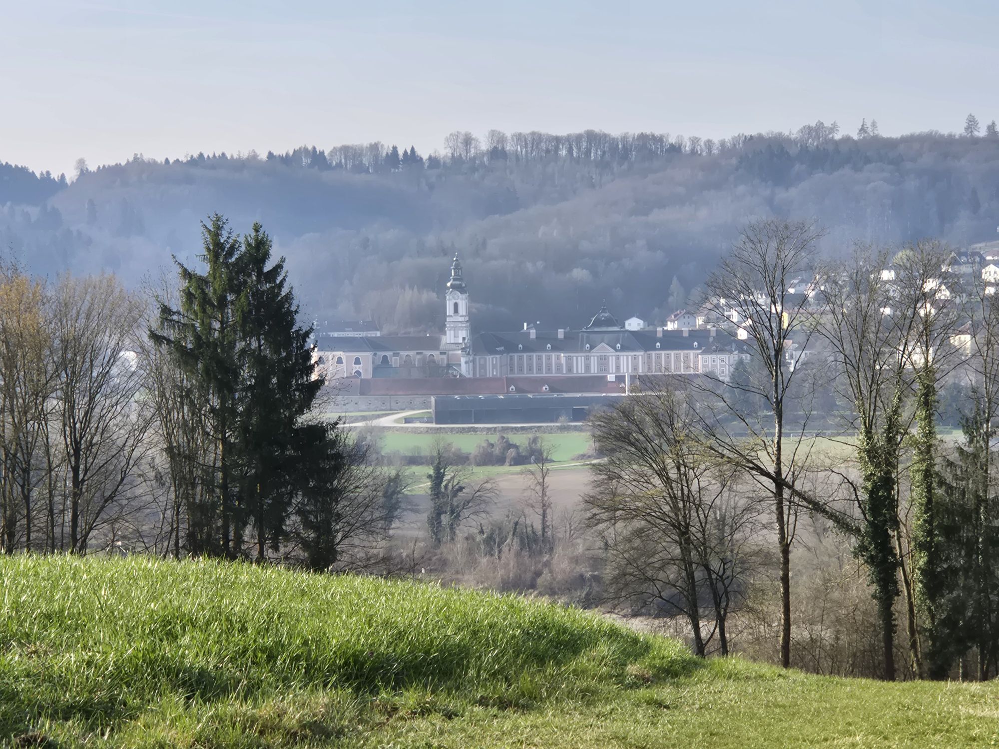
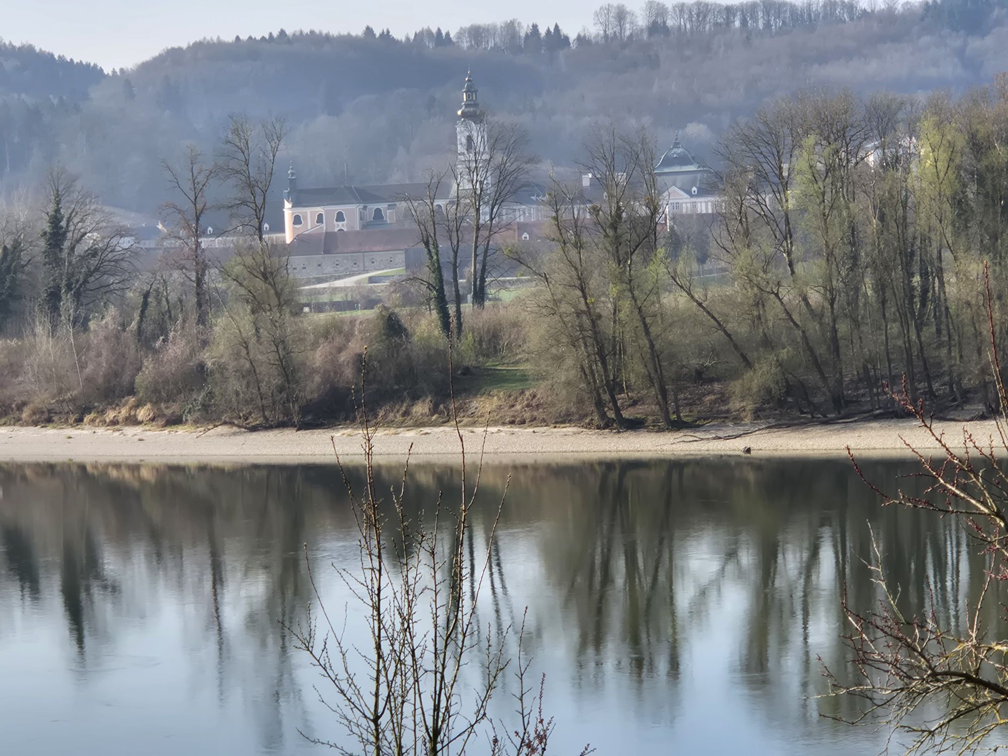
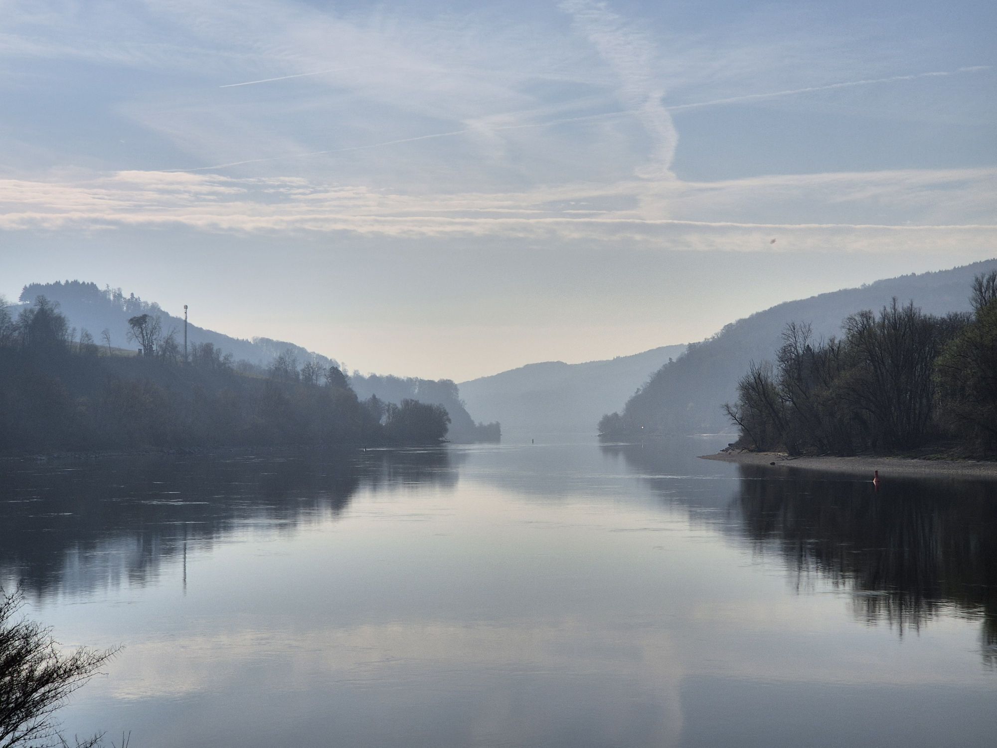
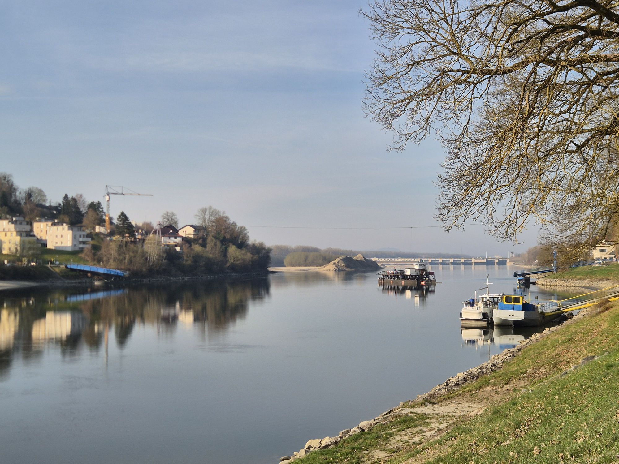
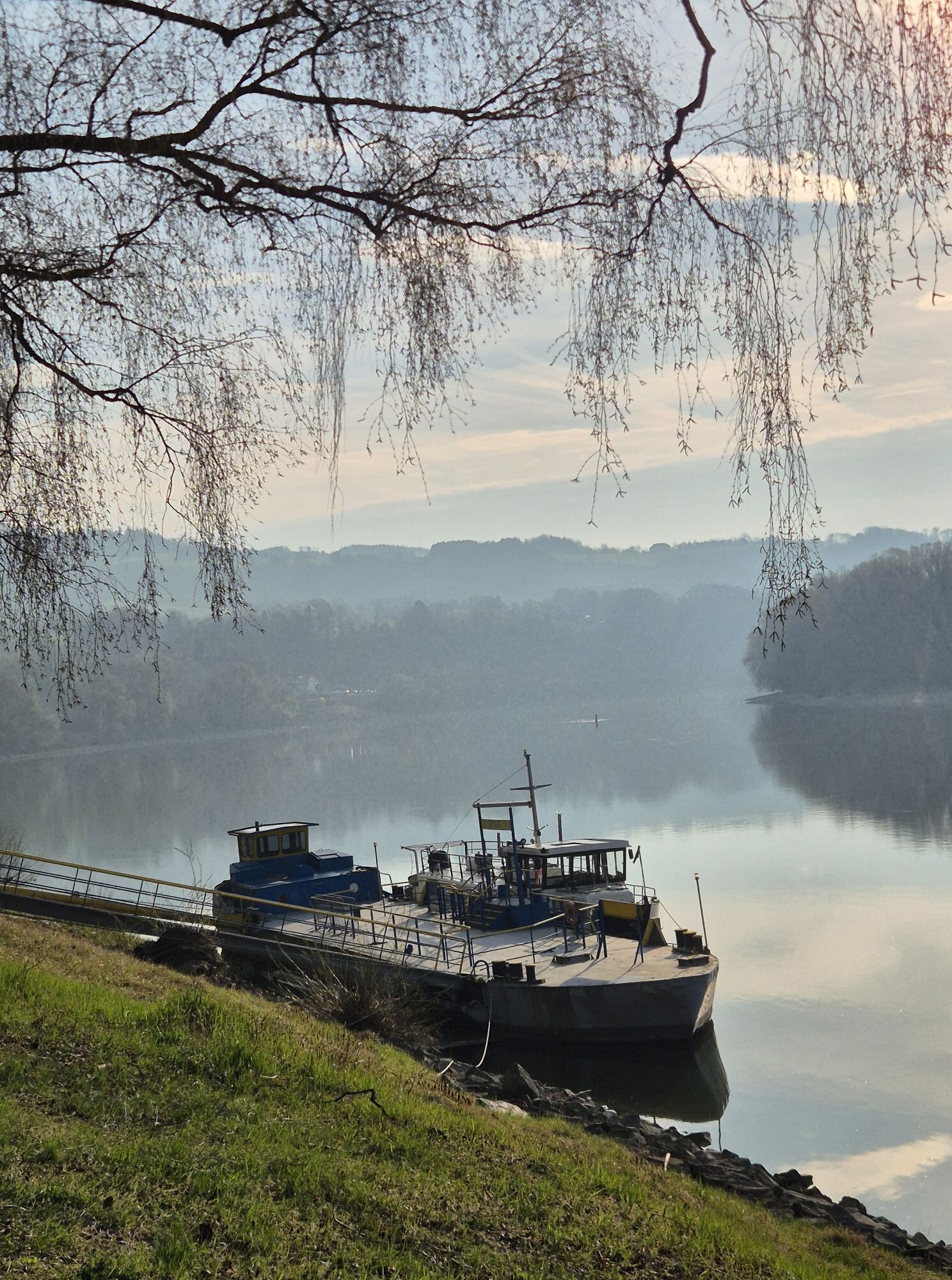
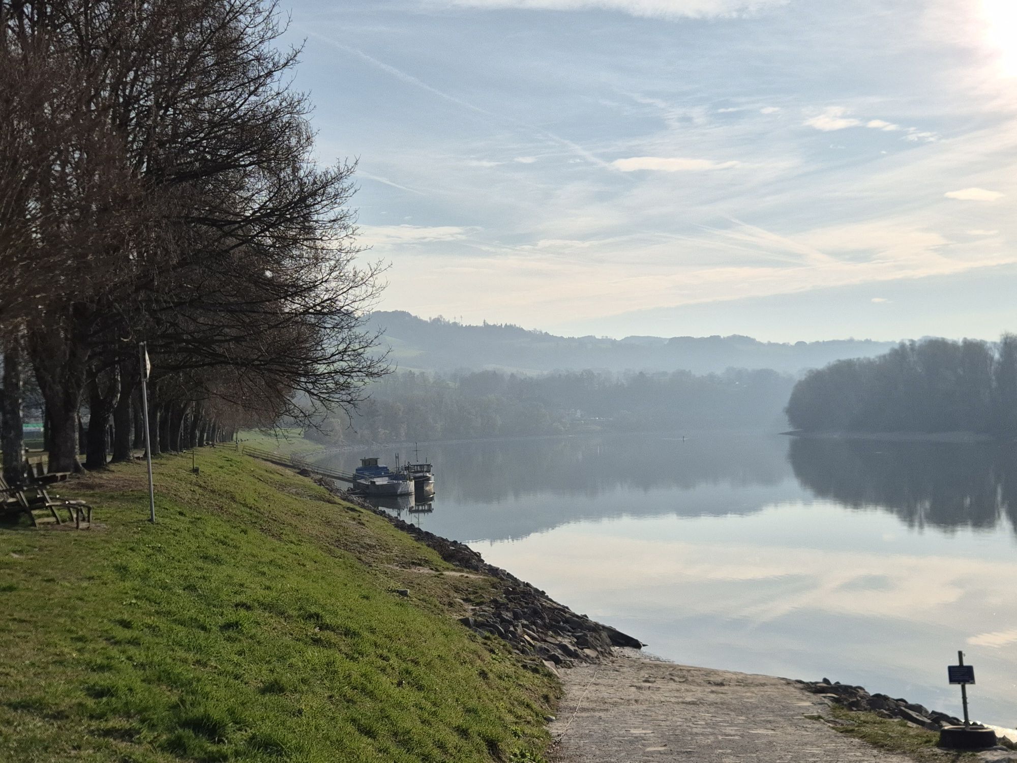
The starting point for this Donausteig stage is Ottensheim. The historic Danube market lies on the eastern edge of the fertile Eferding Basin and has always had an important ferry crossing over the Danube....
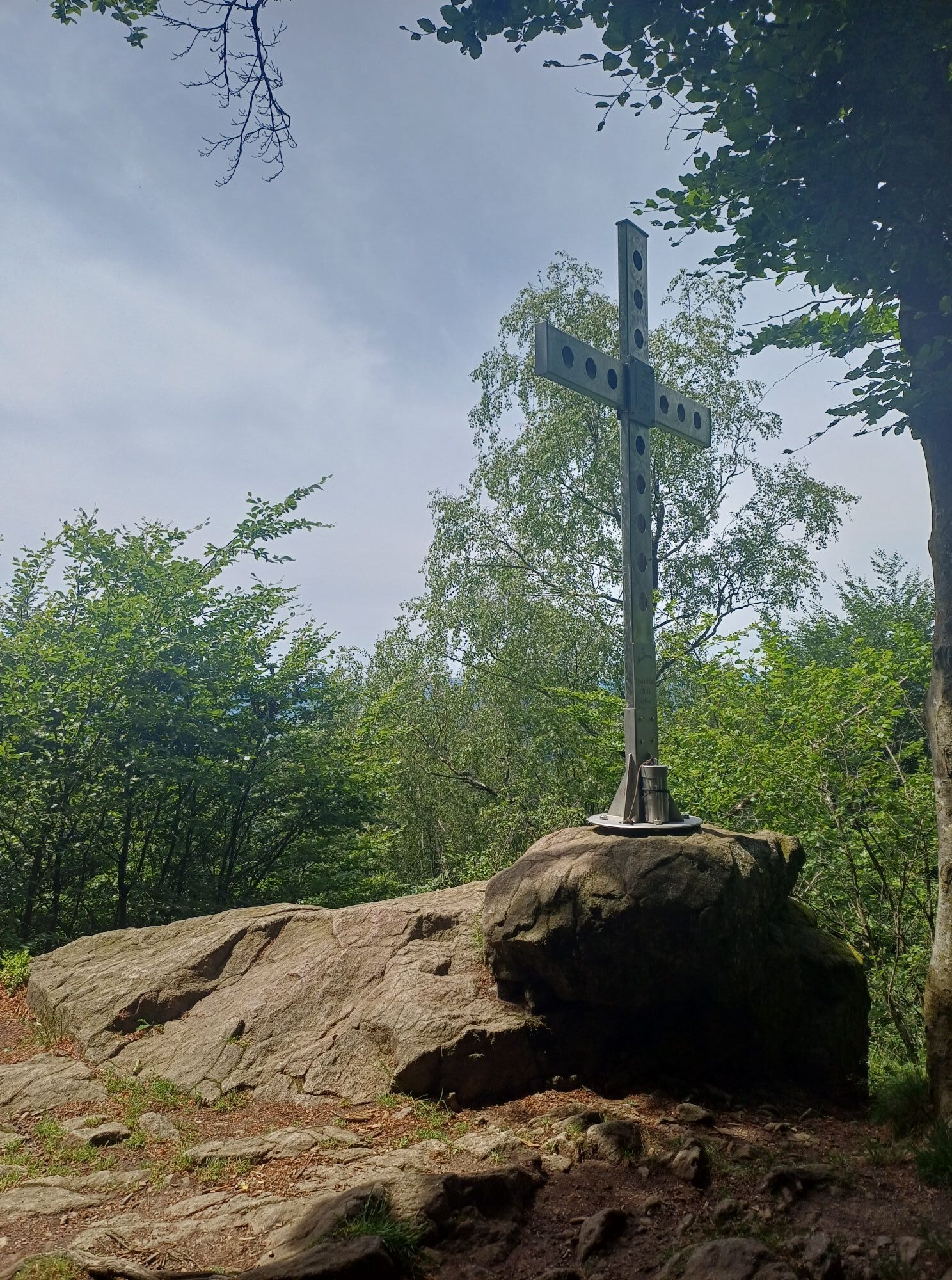
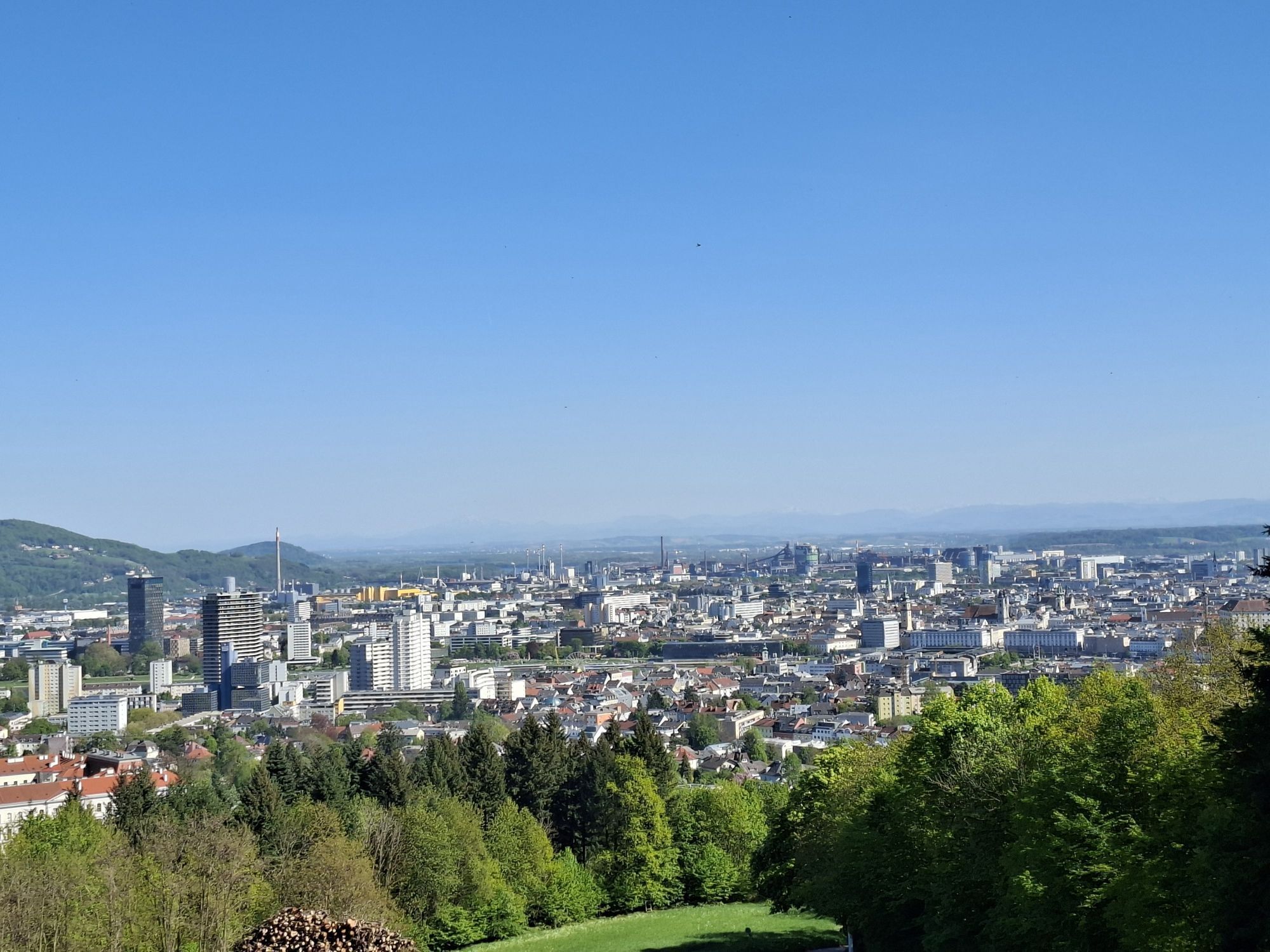
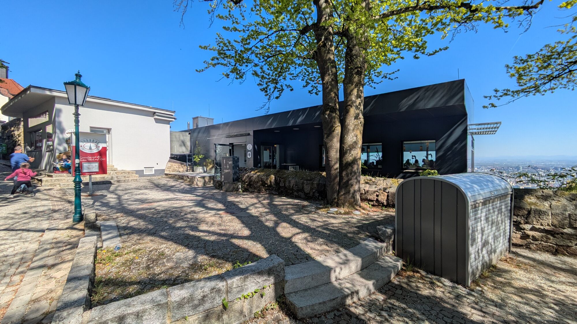
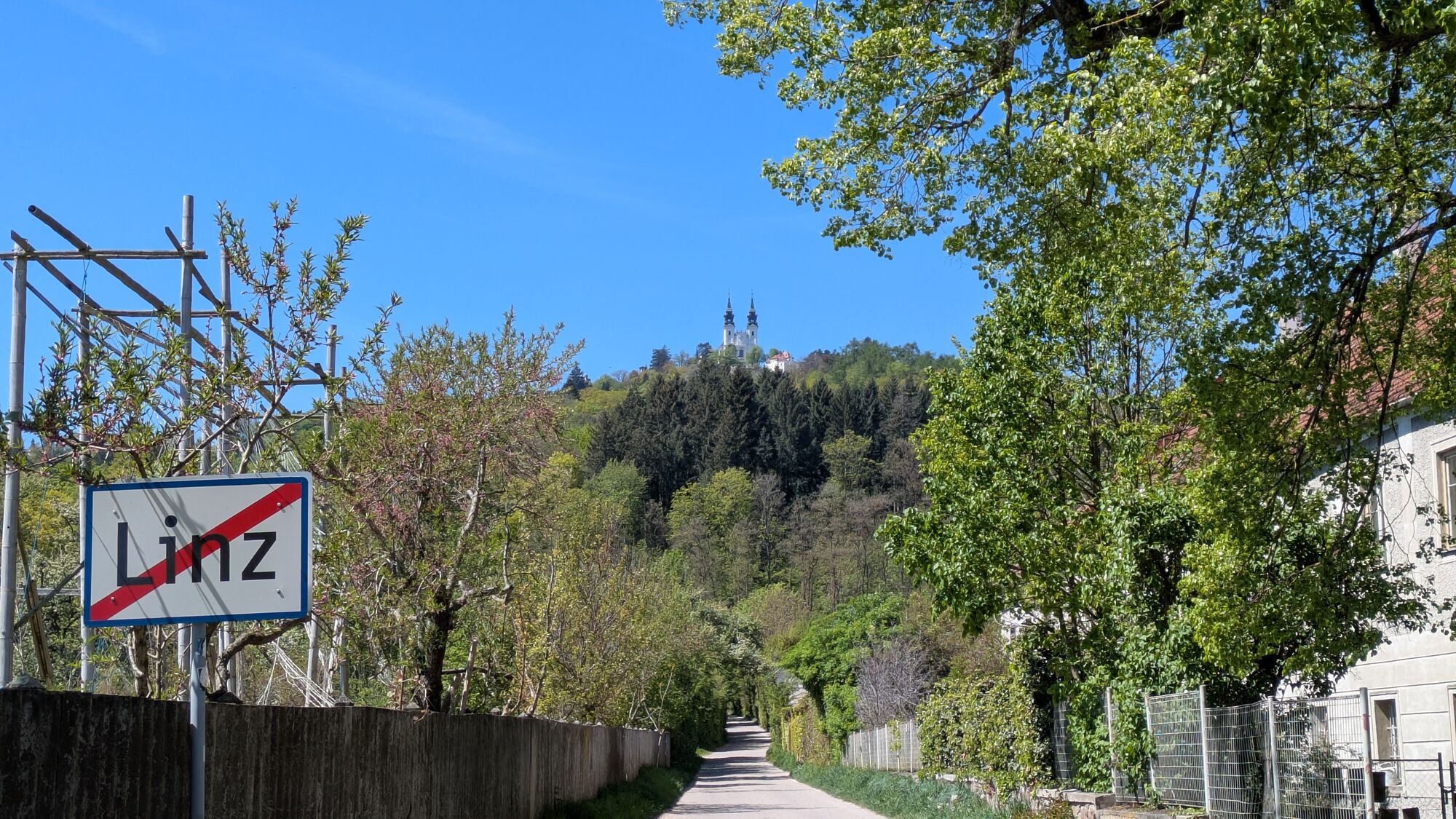
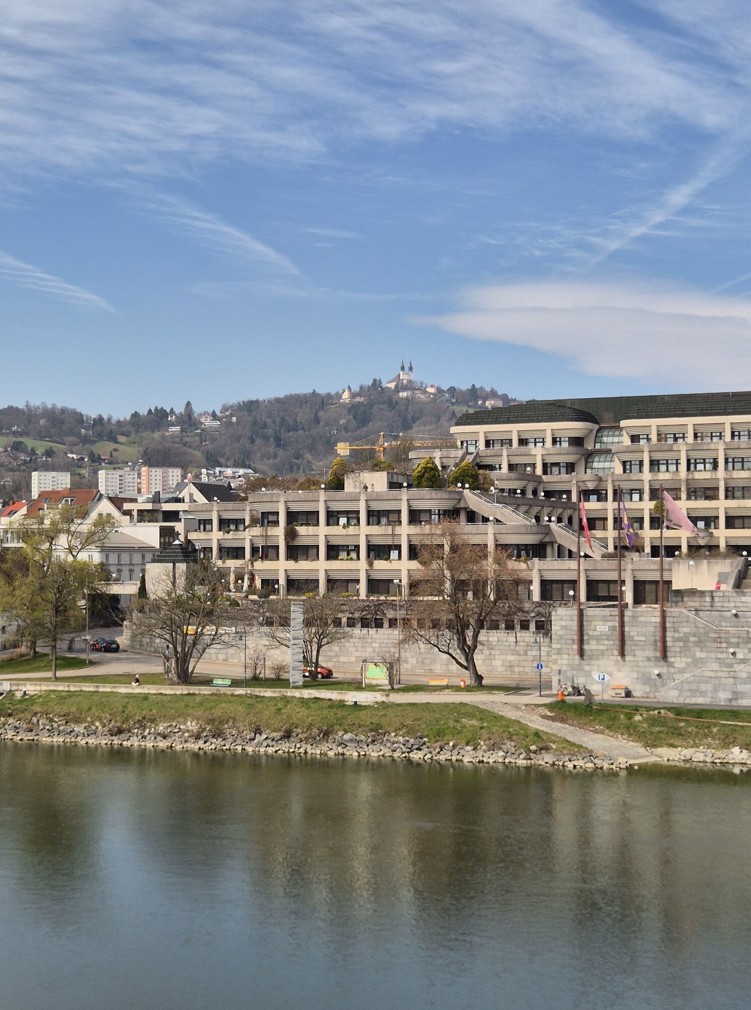
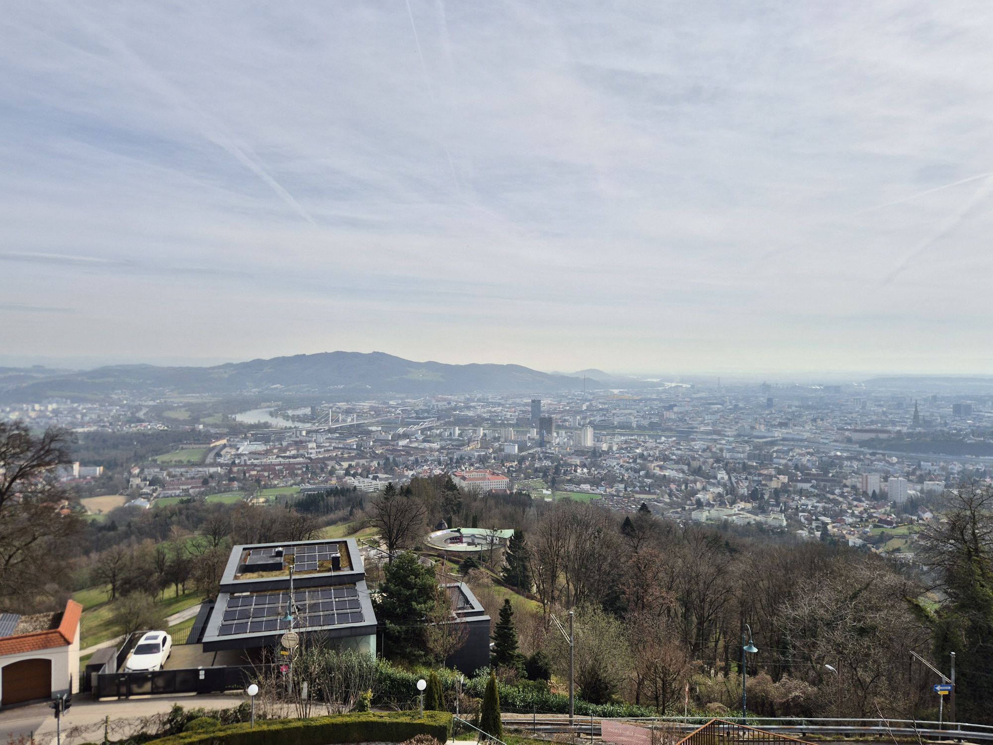
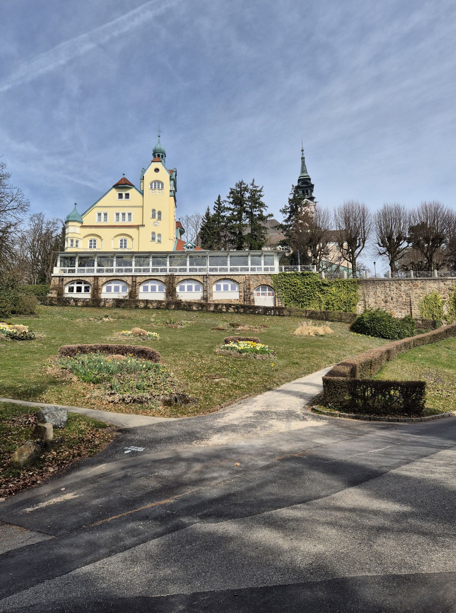
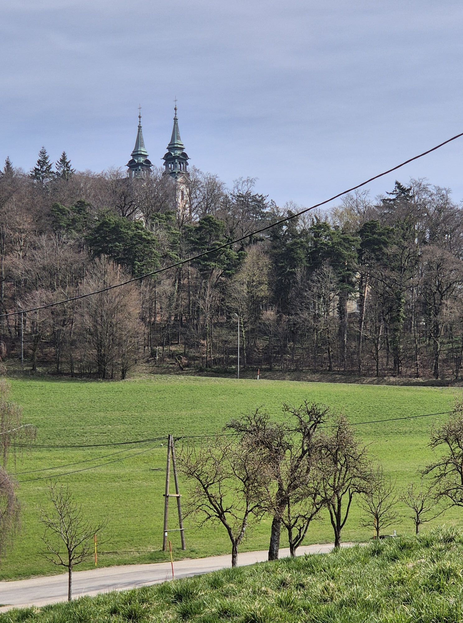
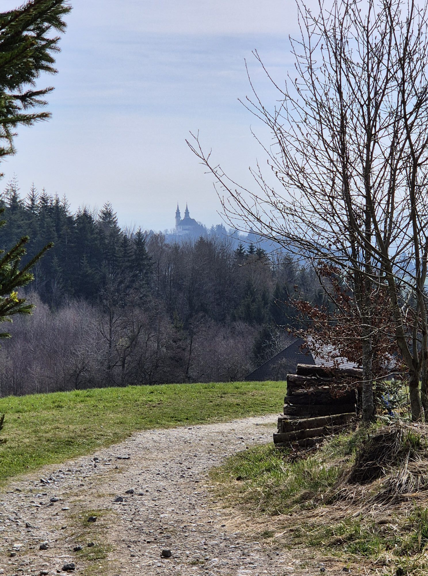
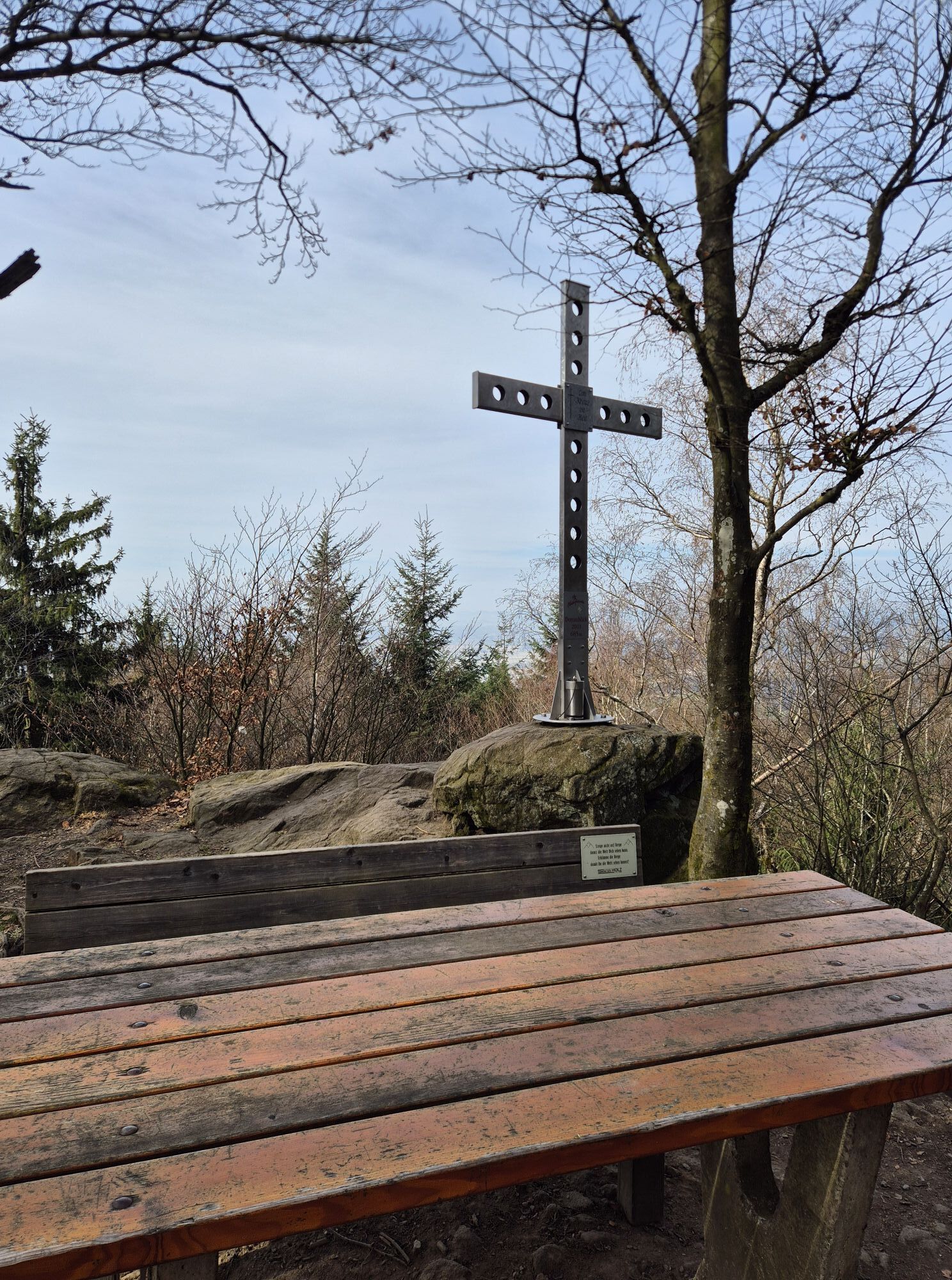
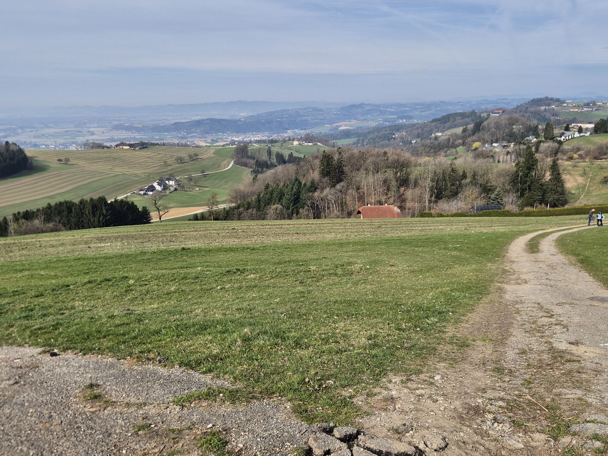
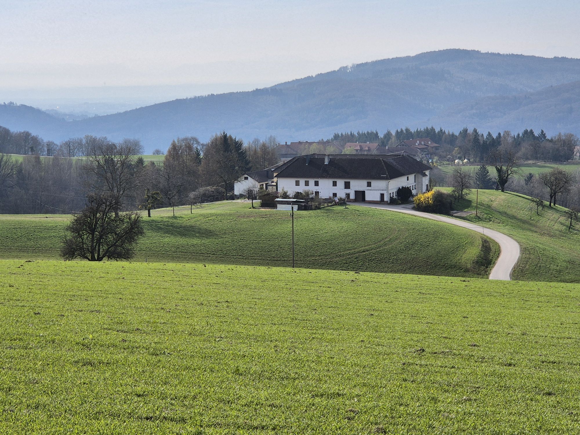
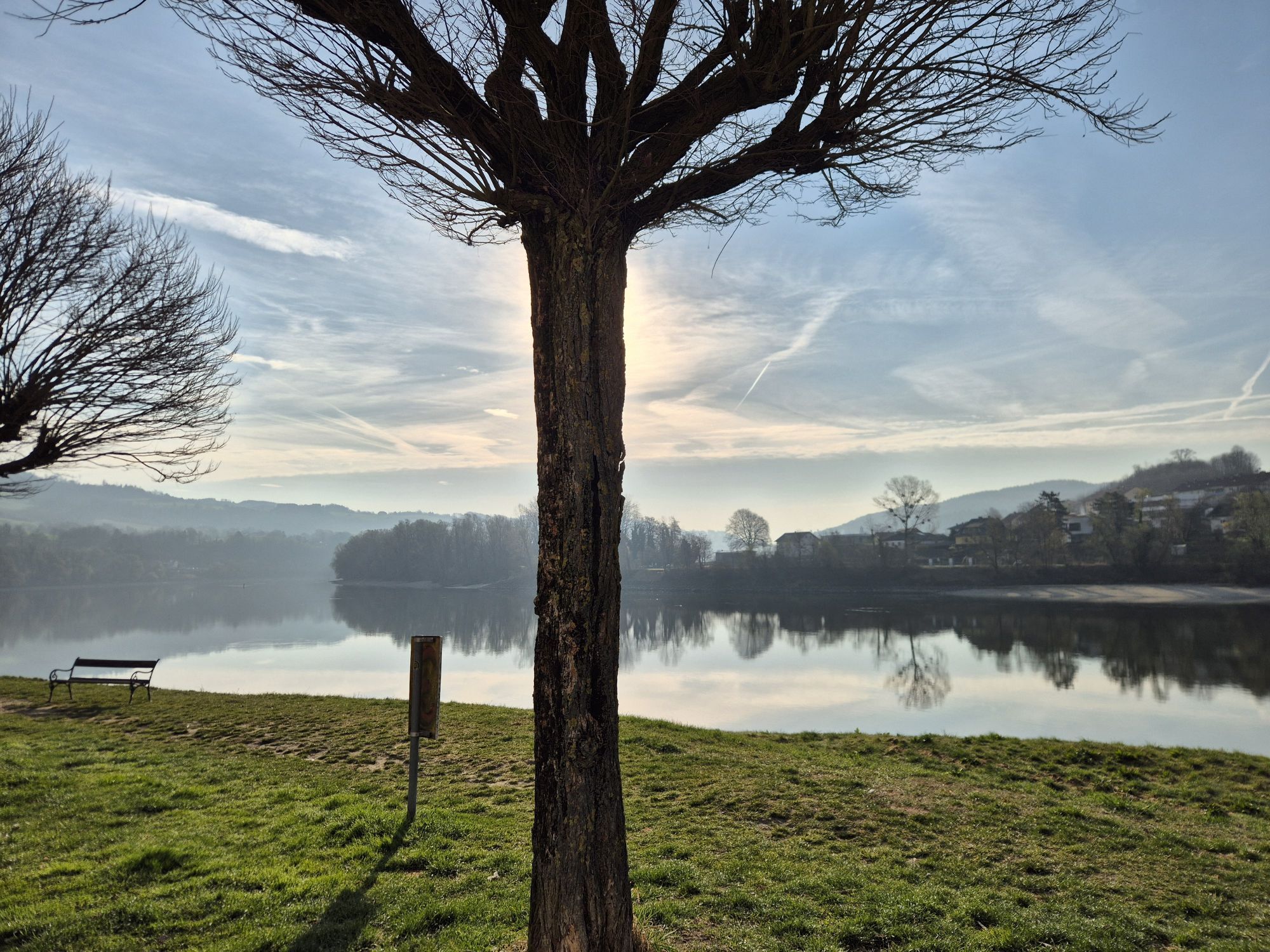
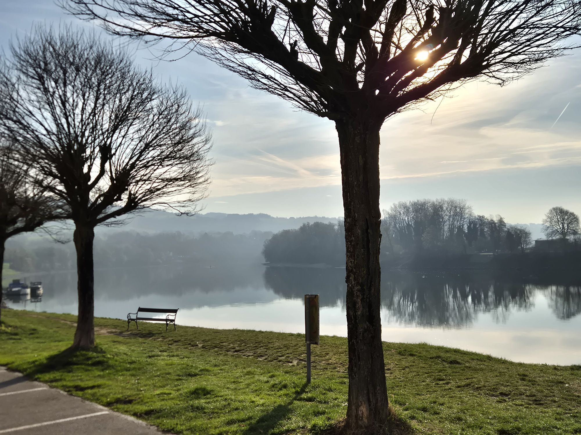
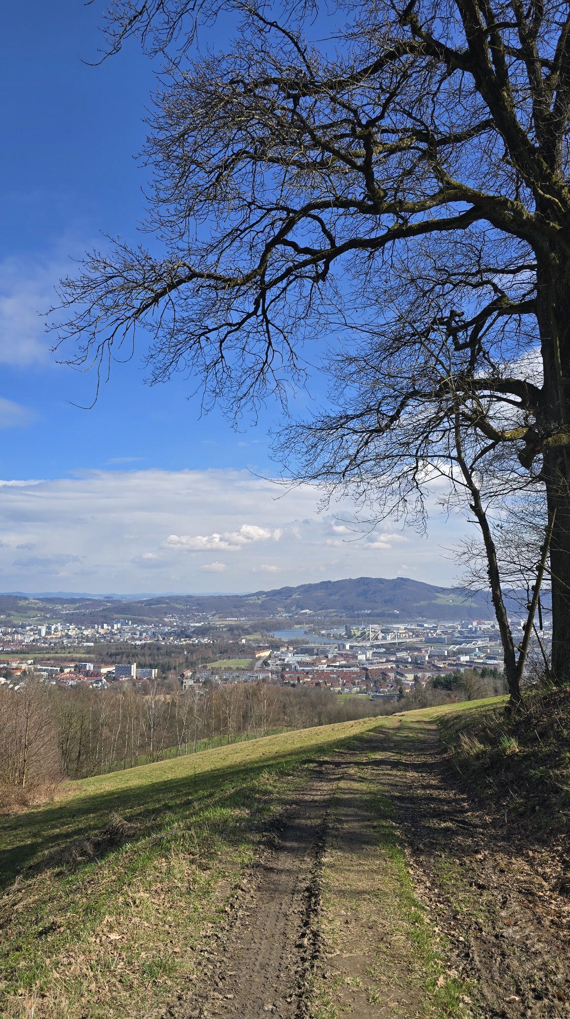
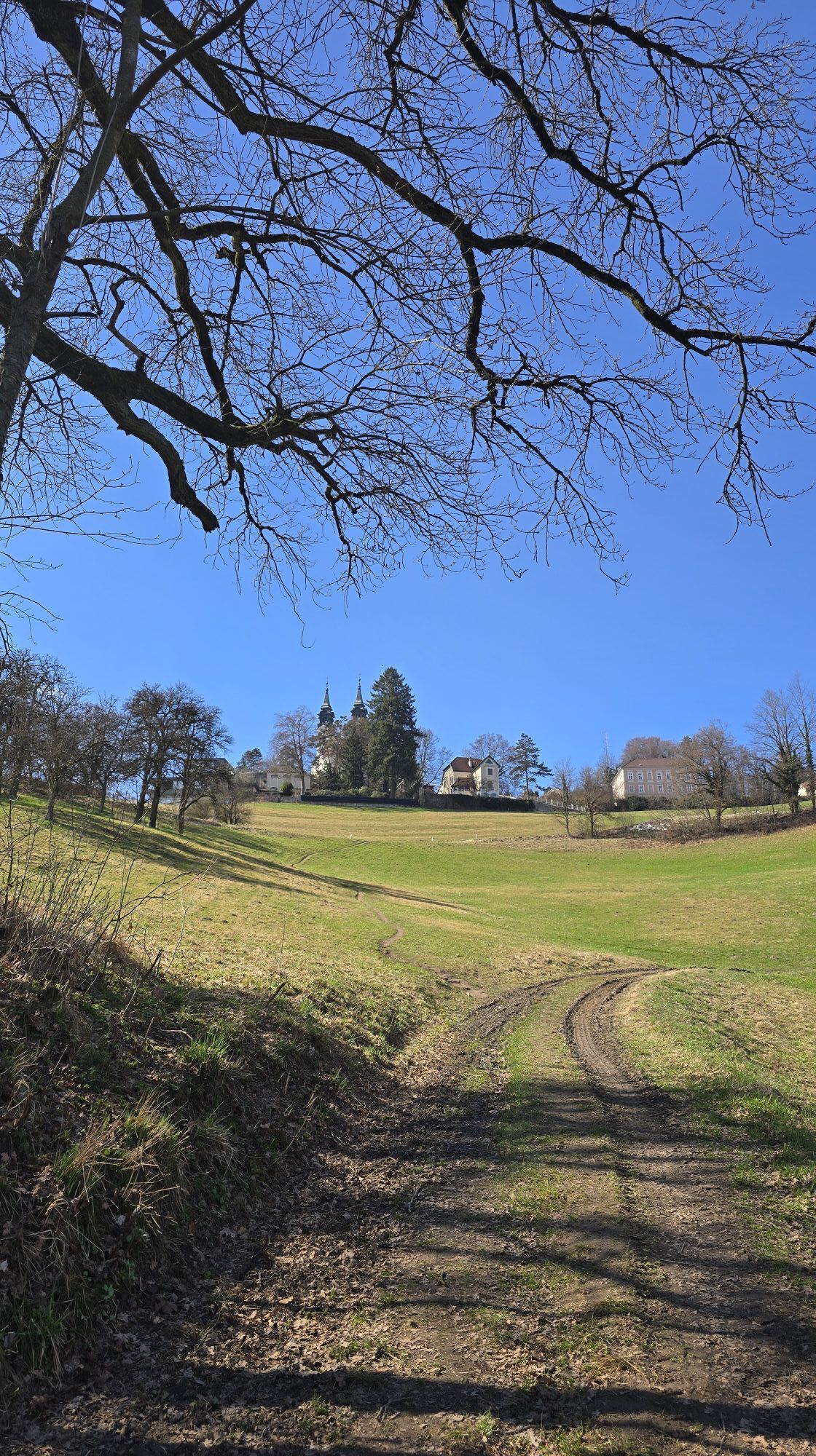
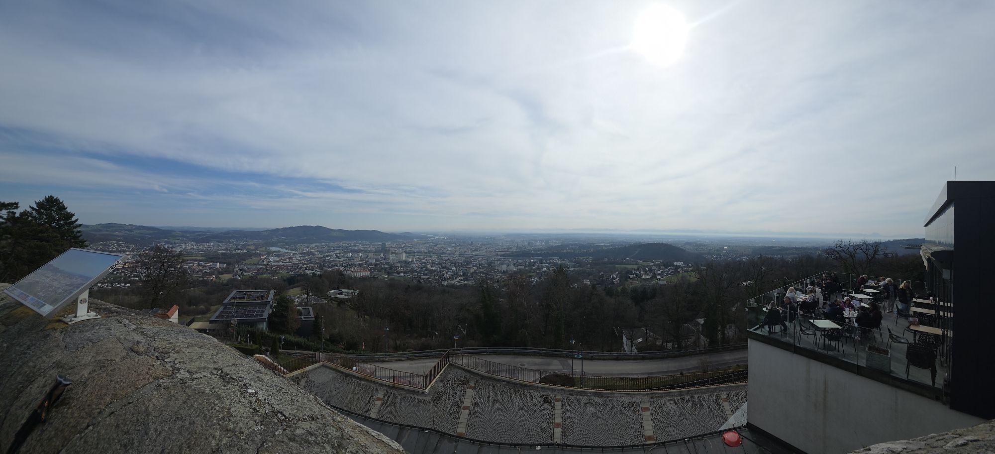
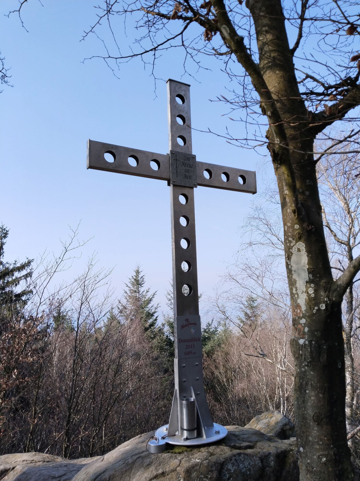
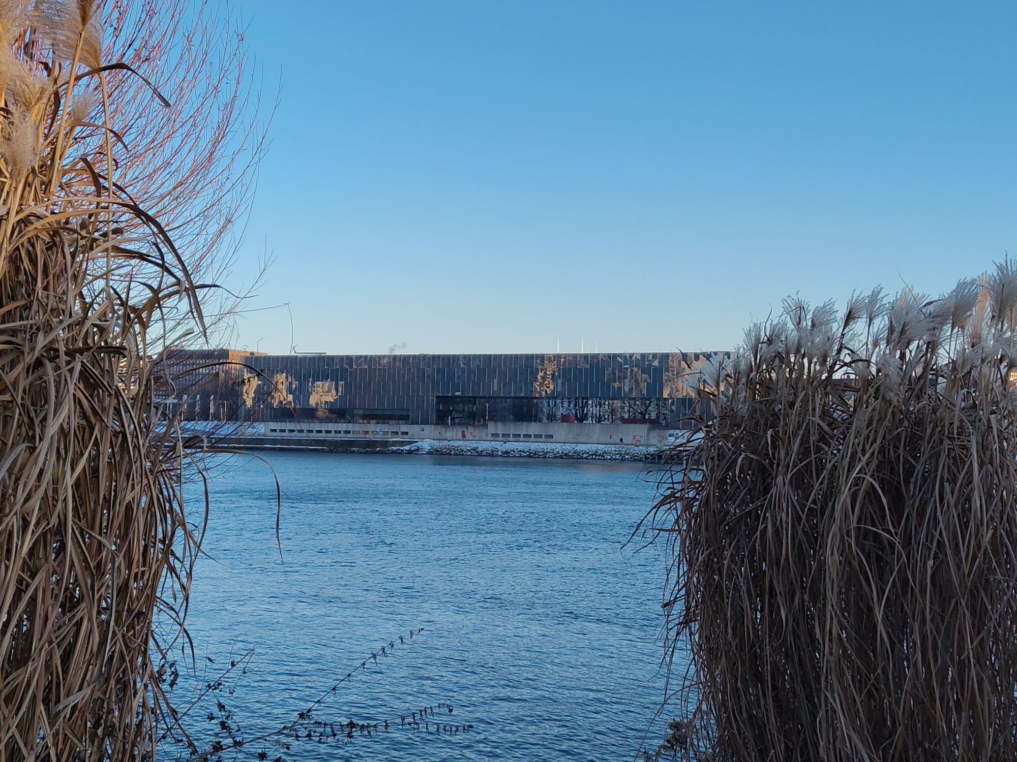
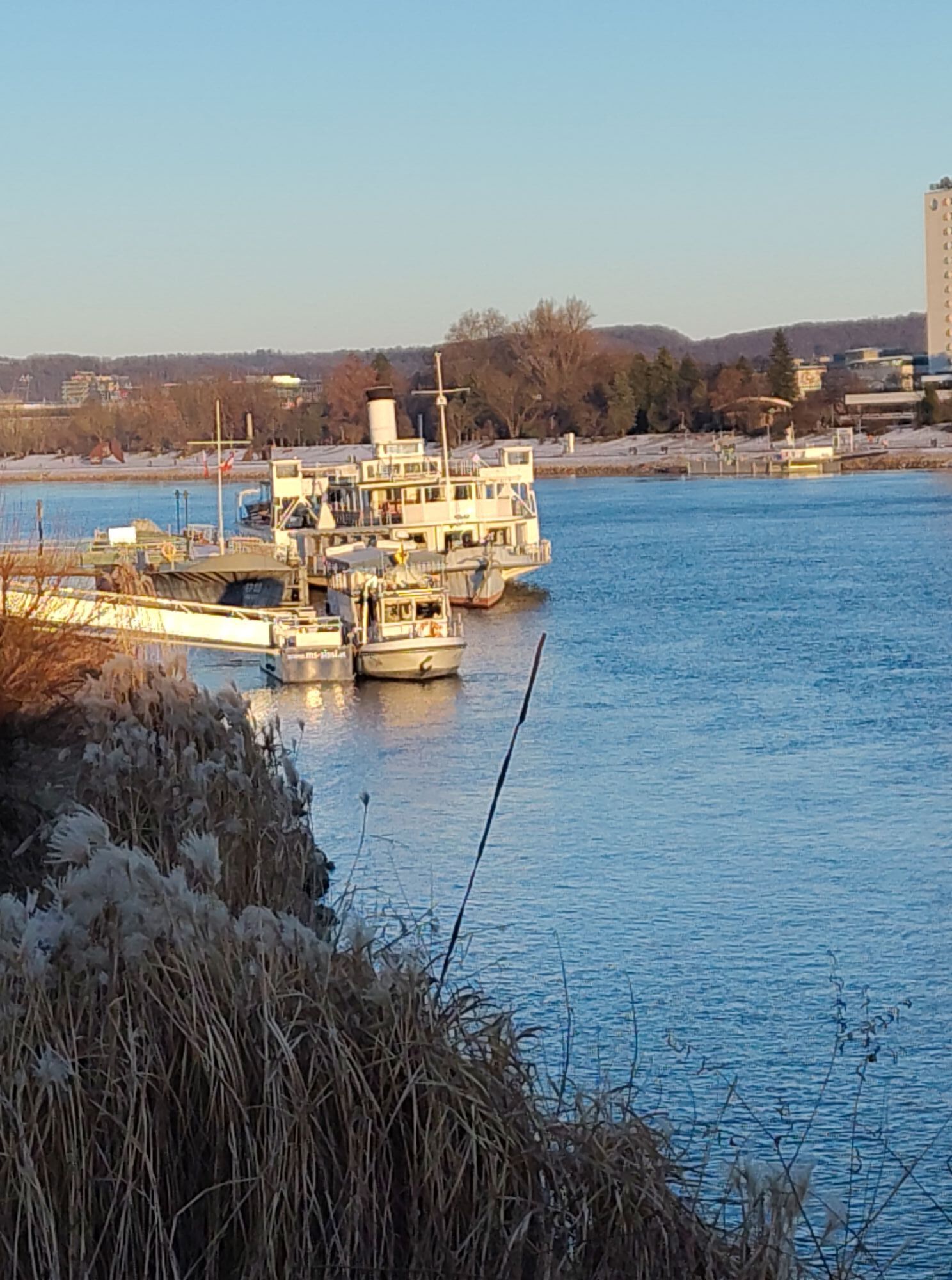
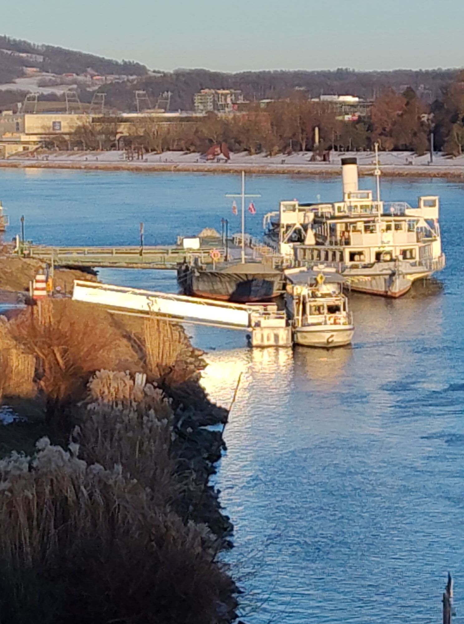
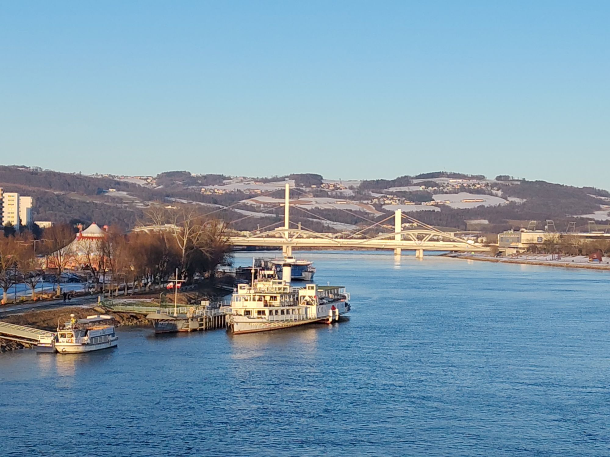
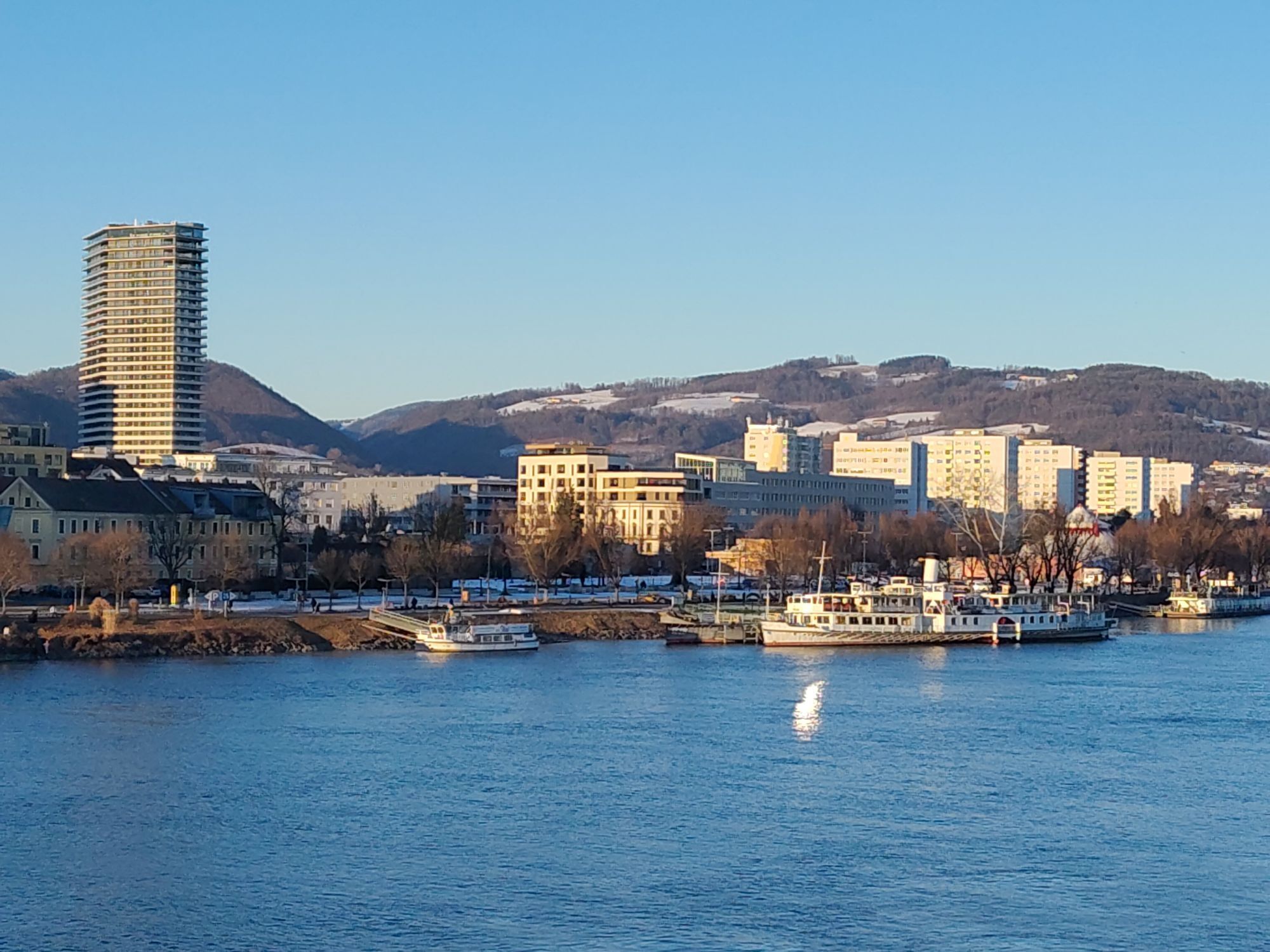
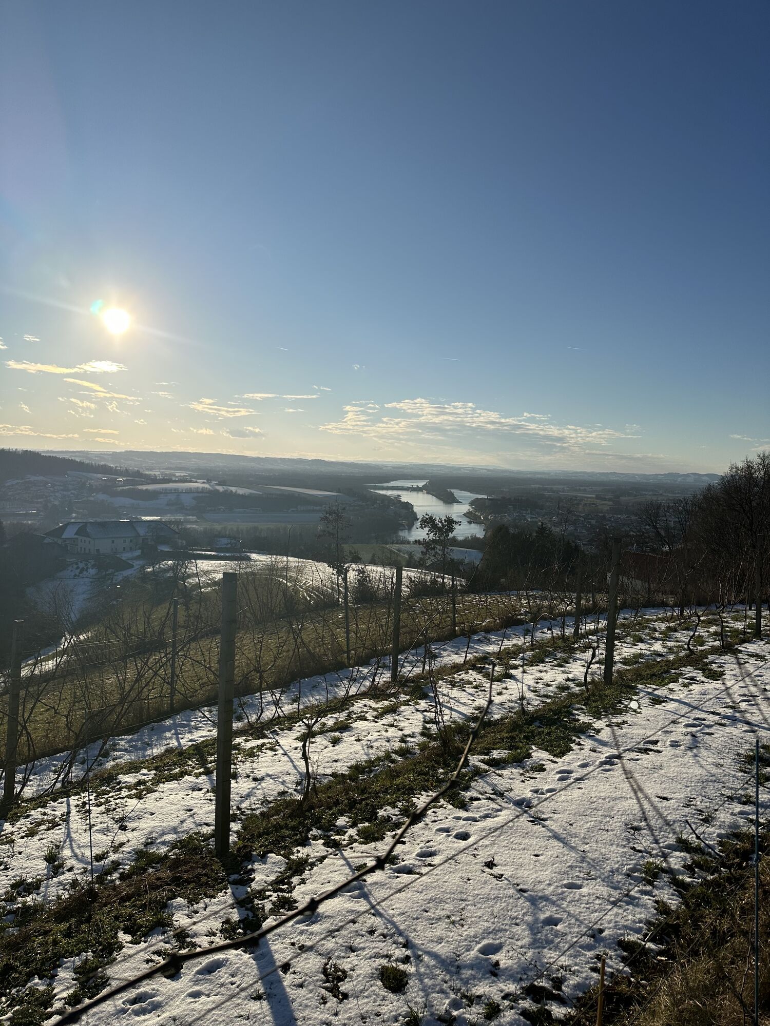
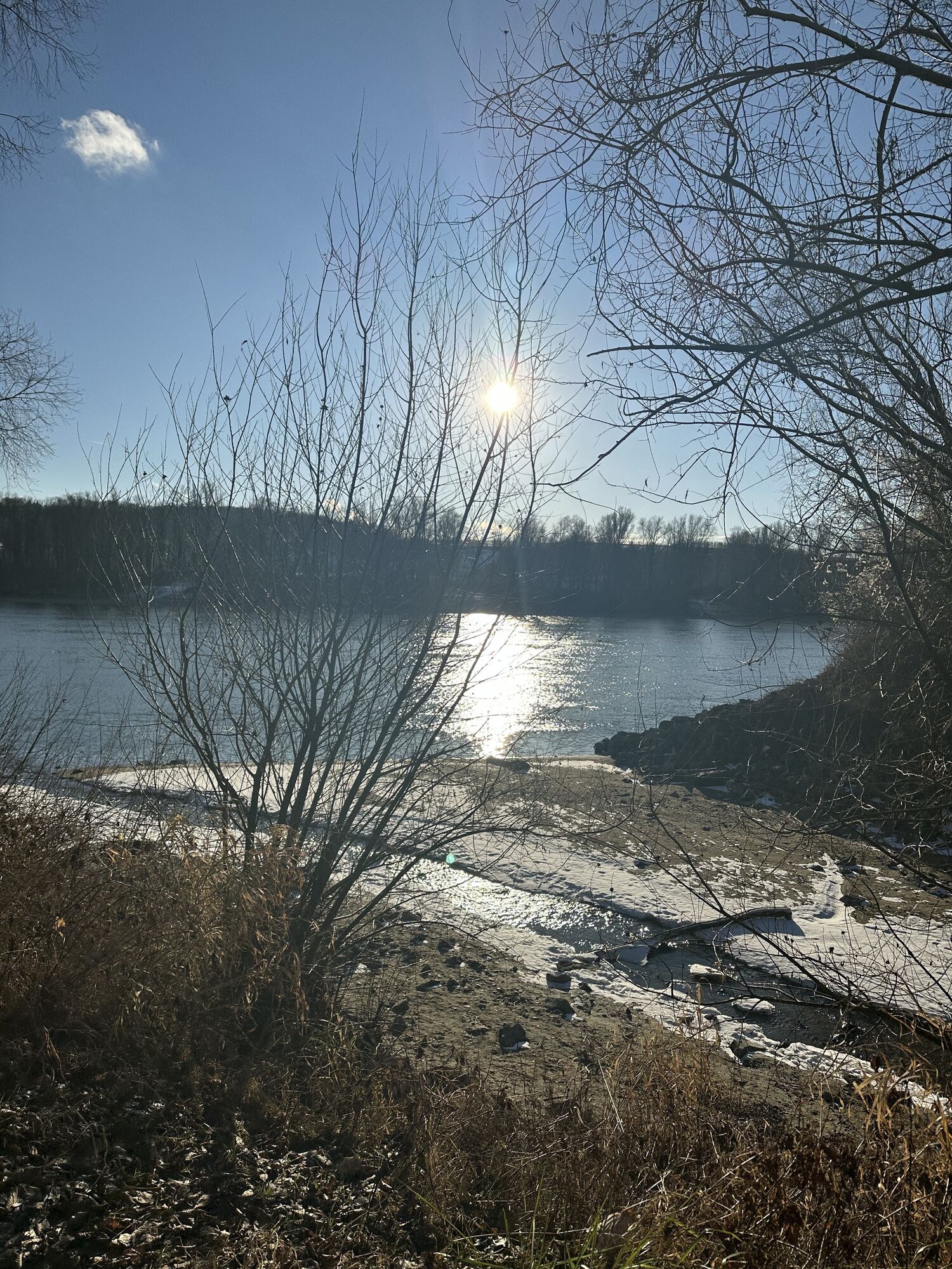
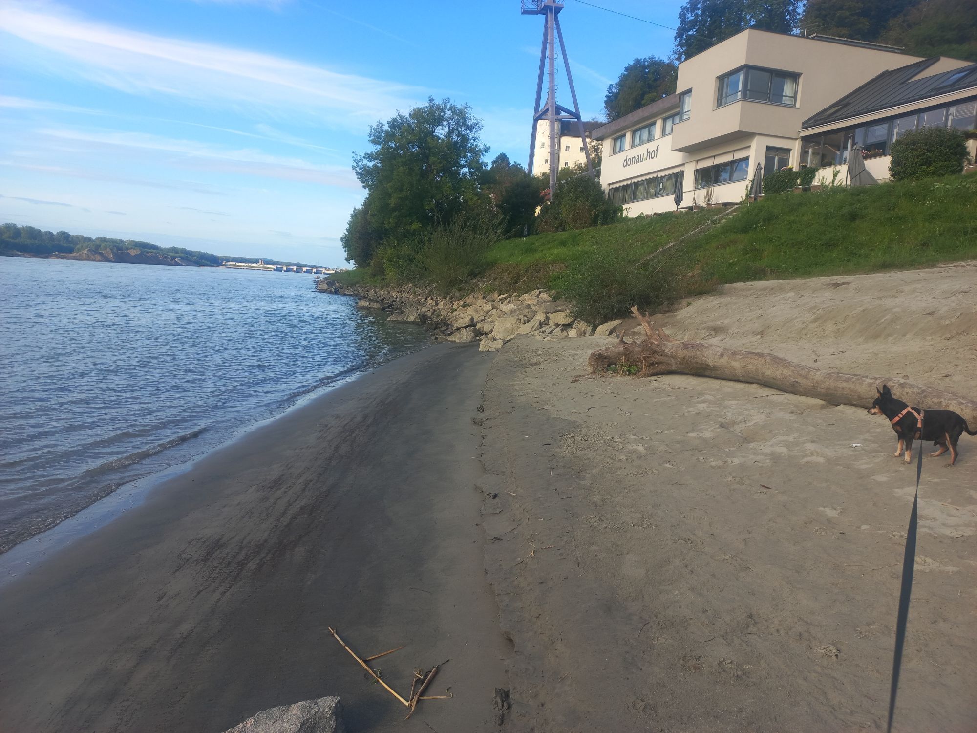
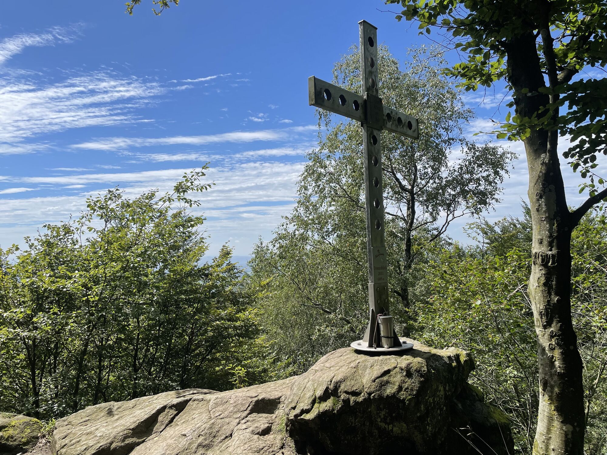
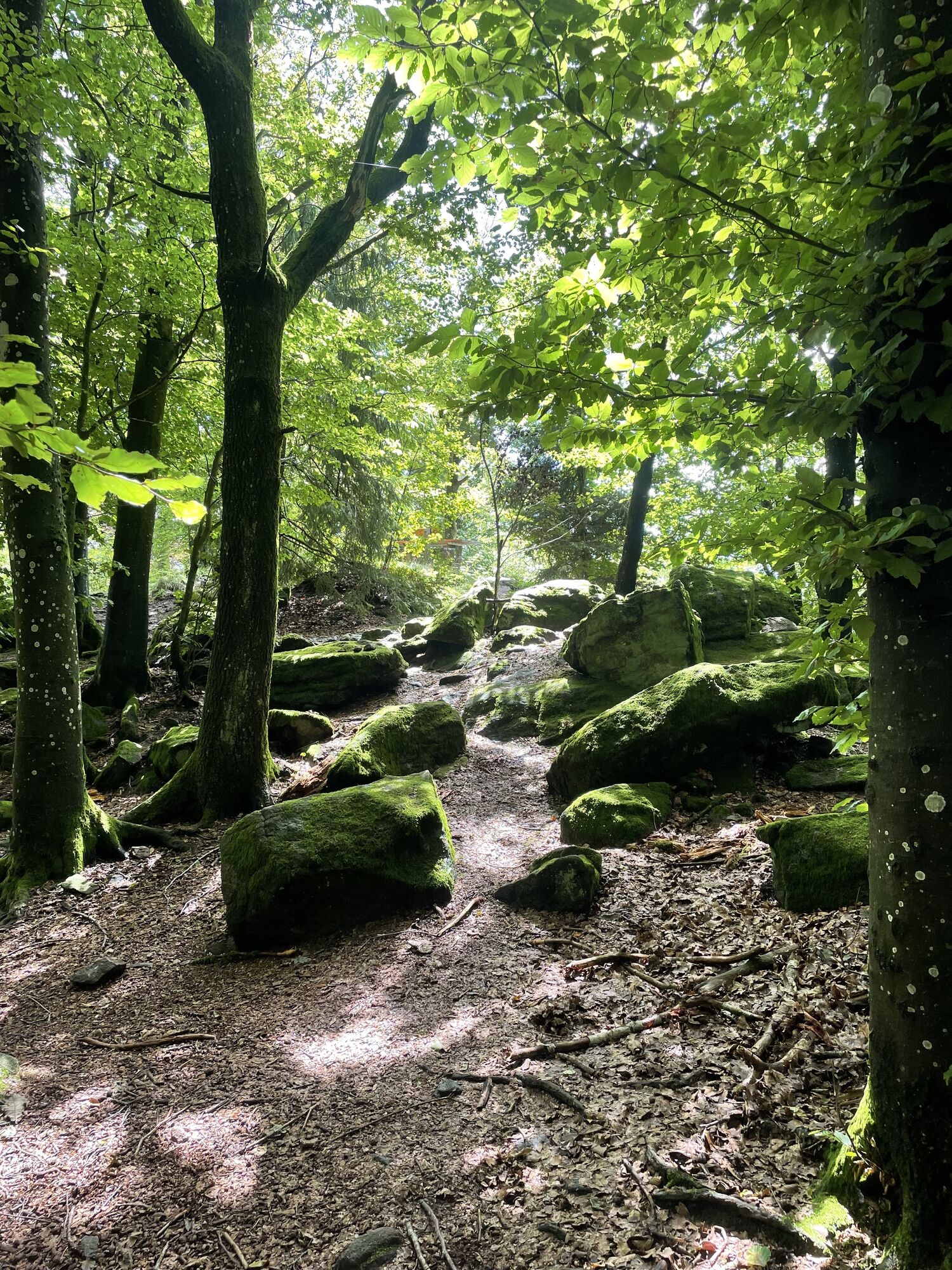
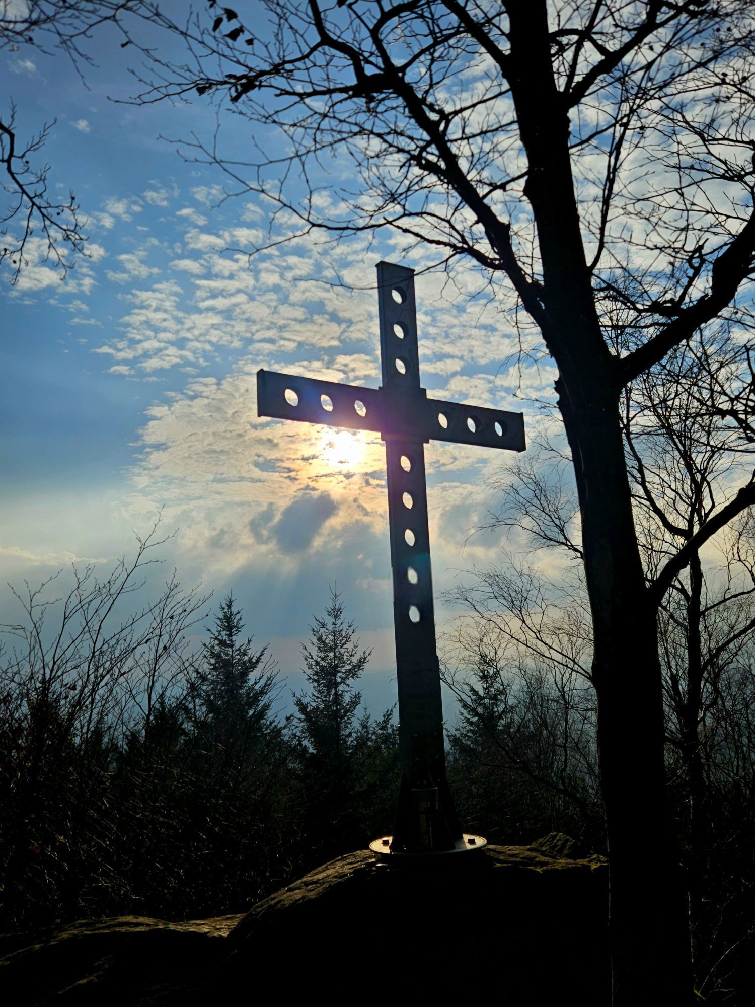
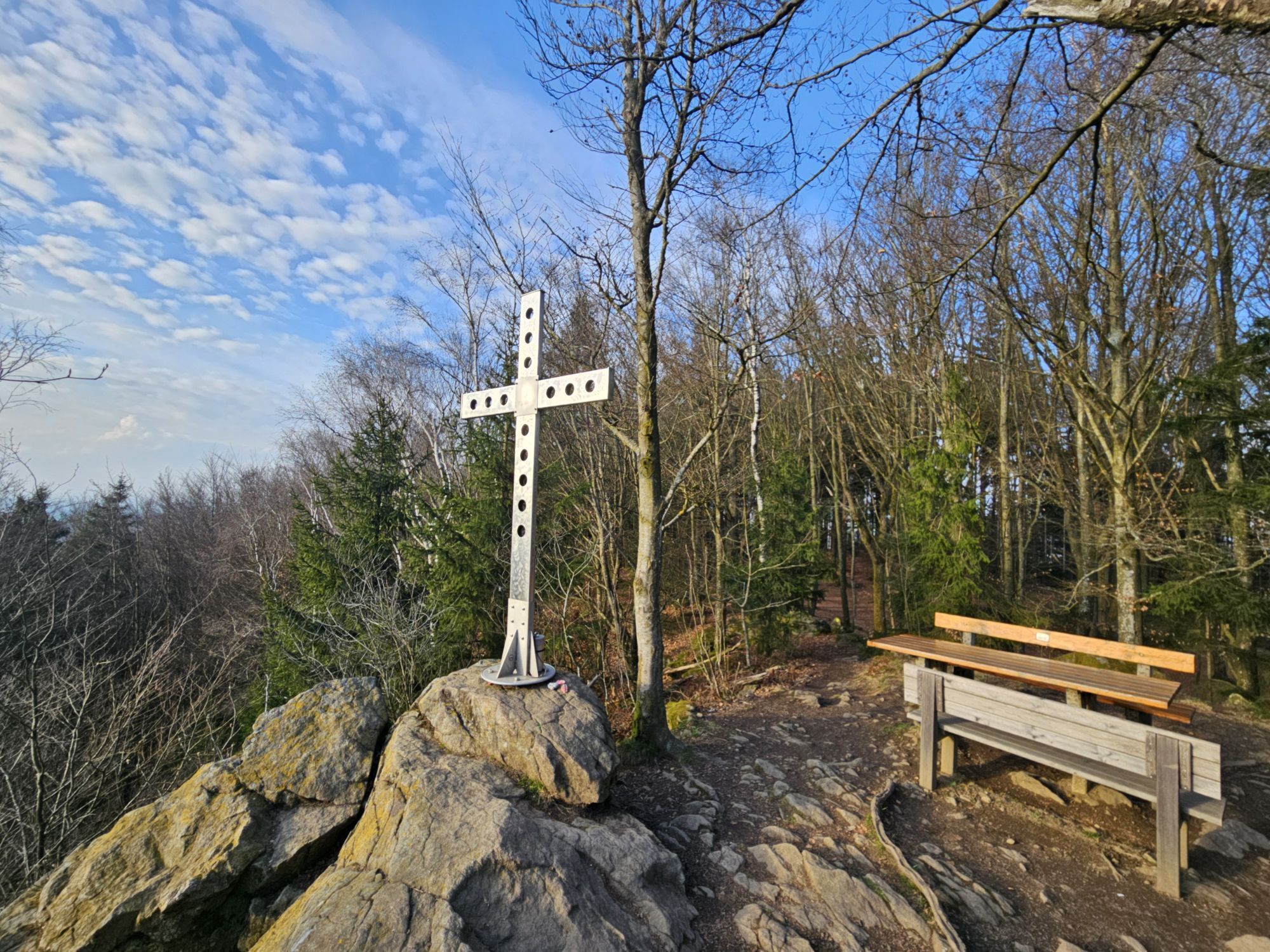
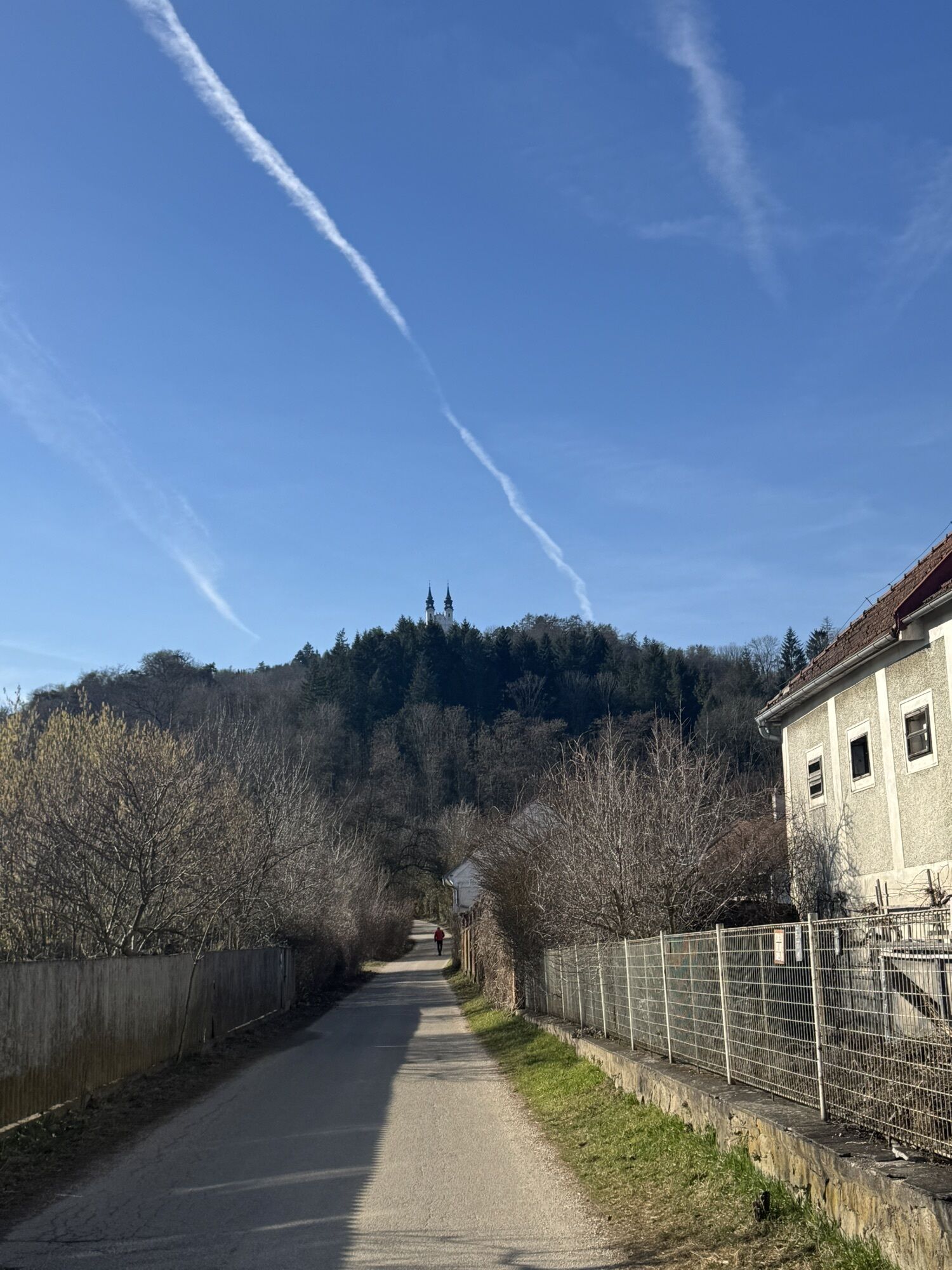
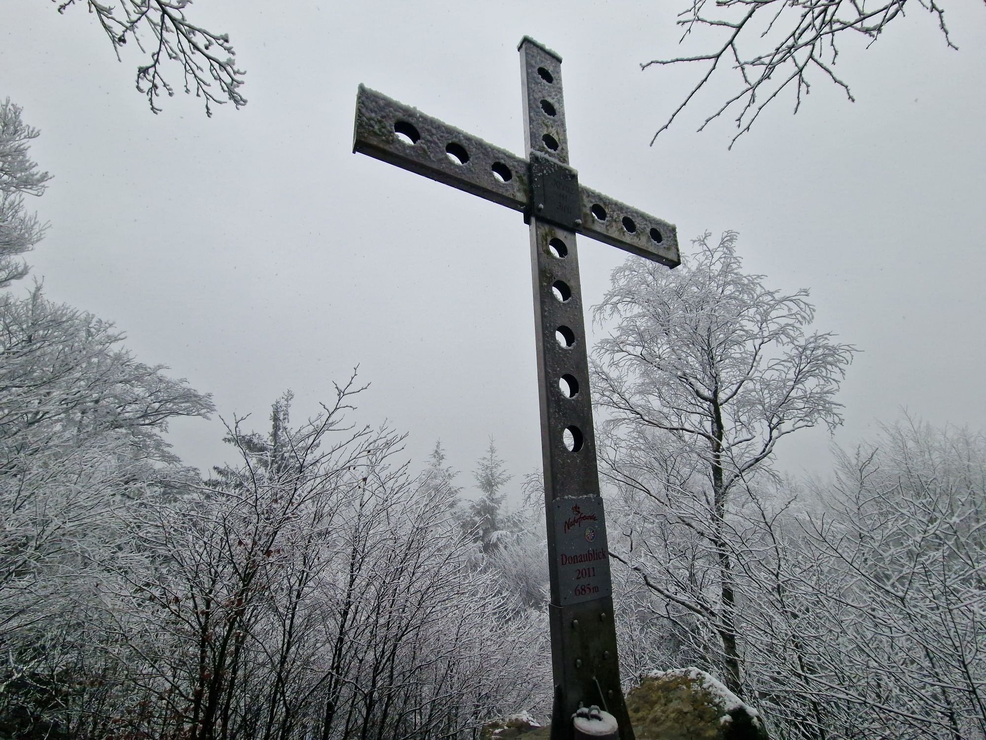
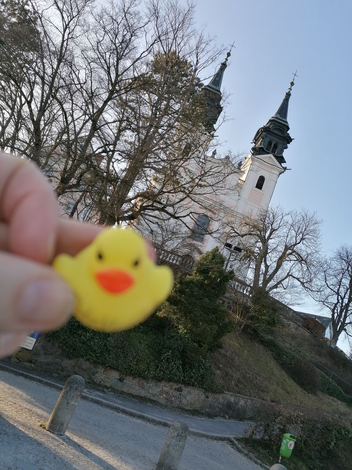
The starting point for this Donausteig stage is Ottensheim. The historic Danube market lies on the eastern edge of the fertile Eferding Basin and has always had an important ferry crossing over the Danube. The beautiful market square tells of a long tradition as a trading hub. From the landing stage of the cable ferry, we hike a short distance along the Treppelweg by the Danube. This offers a wonderful view of the Danube current and allows us to reflect on the former bustling activity at the Danube ferry crossing. At the Danube bend, where the river turns into the gorge of the Linzer opening, we leave the river and begin our summit attack. After a short forest section, we hike through rural cultural landscape up the Dürnberg: lush farming meadows, labor-intensive fields, splendid scattered orchards, isolated farms, ... pure Mühlviertel idyll! Over field paths and farm roads, we quickly gain altitude. The view expands continually until the entire Eferding Basin lies at our feet – simply beautiful! The Donausteig rest area “Dürnberg” offers a nice opportunity for a relaxing break. After a small forest section and a farm track, we reach the height of the Linzer opening and can clearly see the narrow Danube breakthrough valley. A short forest descent, then we hike again over farm roads and field paths through rural cultural landscape uphill towards Koglerau. The unique panoramic terrace of the Köglerhof invites us to reflect on tradition and its transmission. From there, a hiking trail leads us through the atmospheric summit forest of Koglerau to the summit cross of Donaublick, the first highlight of this Donausteig stage. Congratulations – we are standing here on one of the seven flagship summits of the Donausteig! One last time the view opens into the wide fertile Eferding Basin. Now the path leads into the urban Linz Basin. After the summit forest, the view opens for the first time onto the new landscape. Over meadows and fields, past scattered settlements, we reach after a longer descent and climb the Pöstlingberg – the second highlight of this Donausteig stage. The historic excursion mountain is marked by its pilgrimage church and is the landmark of Linz, offering a unique view over the urban Linz Basin all the way to the Alps – simply breathtaking! A longer stay is worthwhile here because there is much to discover. Then a cross path leads us over meadows and forest sections down to the Petrinum at the foot of the Pöstlingberg. From there we hike through the city and over the Danube Bridge to the magnificent main square of Linz. A varied Donausteig experience in the field of tension between nature and culture – simply amazing!
Discover following highlights with the Donausteig diary:
- Ottensheim-from ferry and trade
- Donausteig starting point “Ottensheim”
- Danube ferry Ottensheim-Wilhering
- Danube power plant Ottensheim-Wilhering
- Wilhering Abbey-uniqueness through fire
- Donausteig rest area “Dürnberg”
- Lochsteine-boundary to the hereafter?
- Kürnberg-The Emperor’s forest
- ...
Download: Donausteig diary stage 3_N06 Ottensheim-Linz
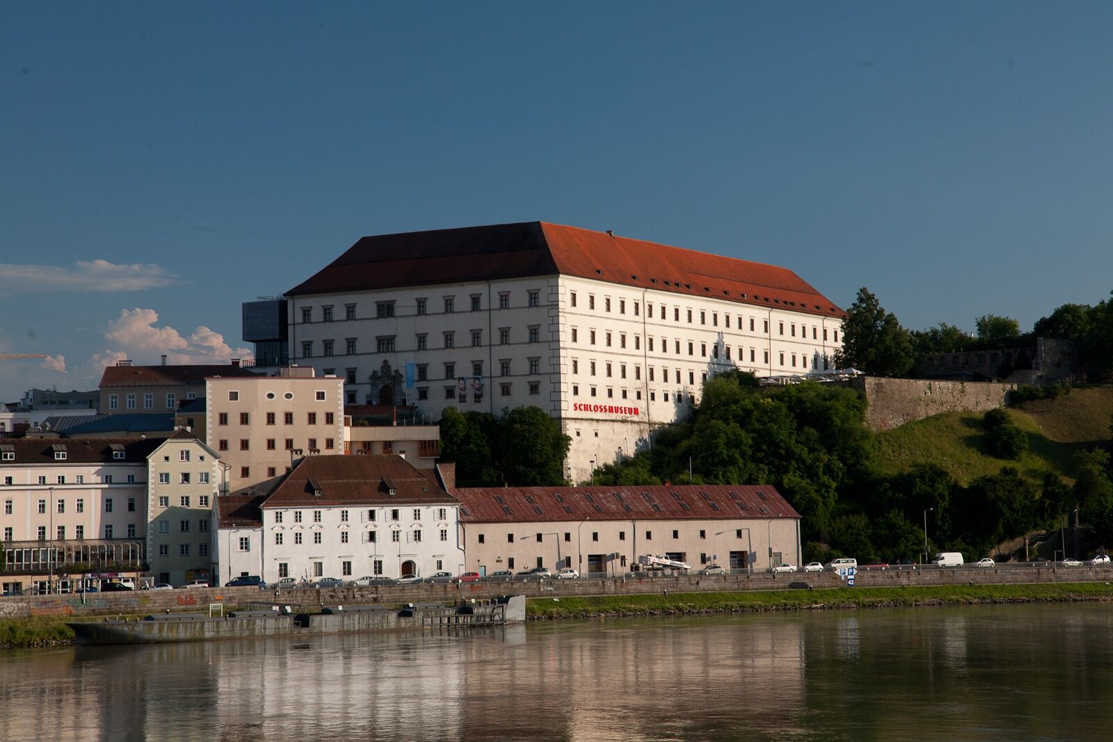
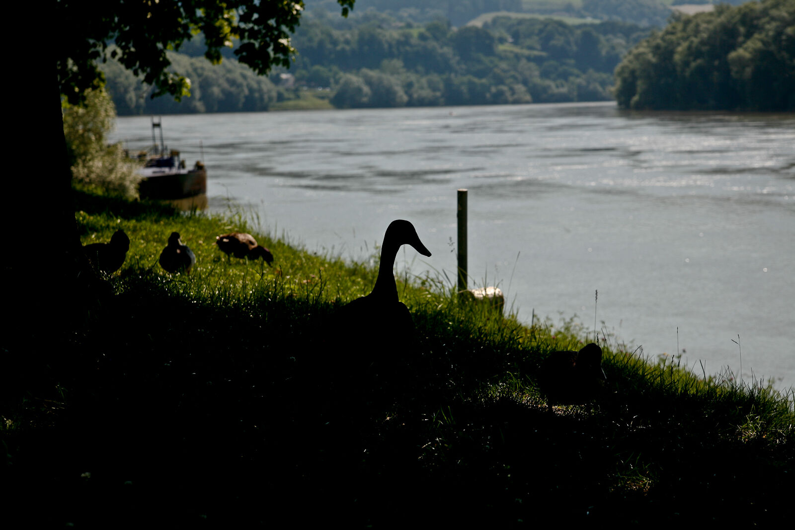
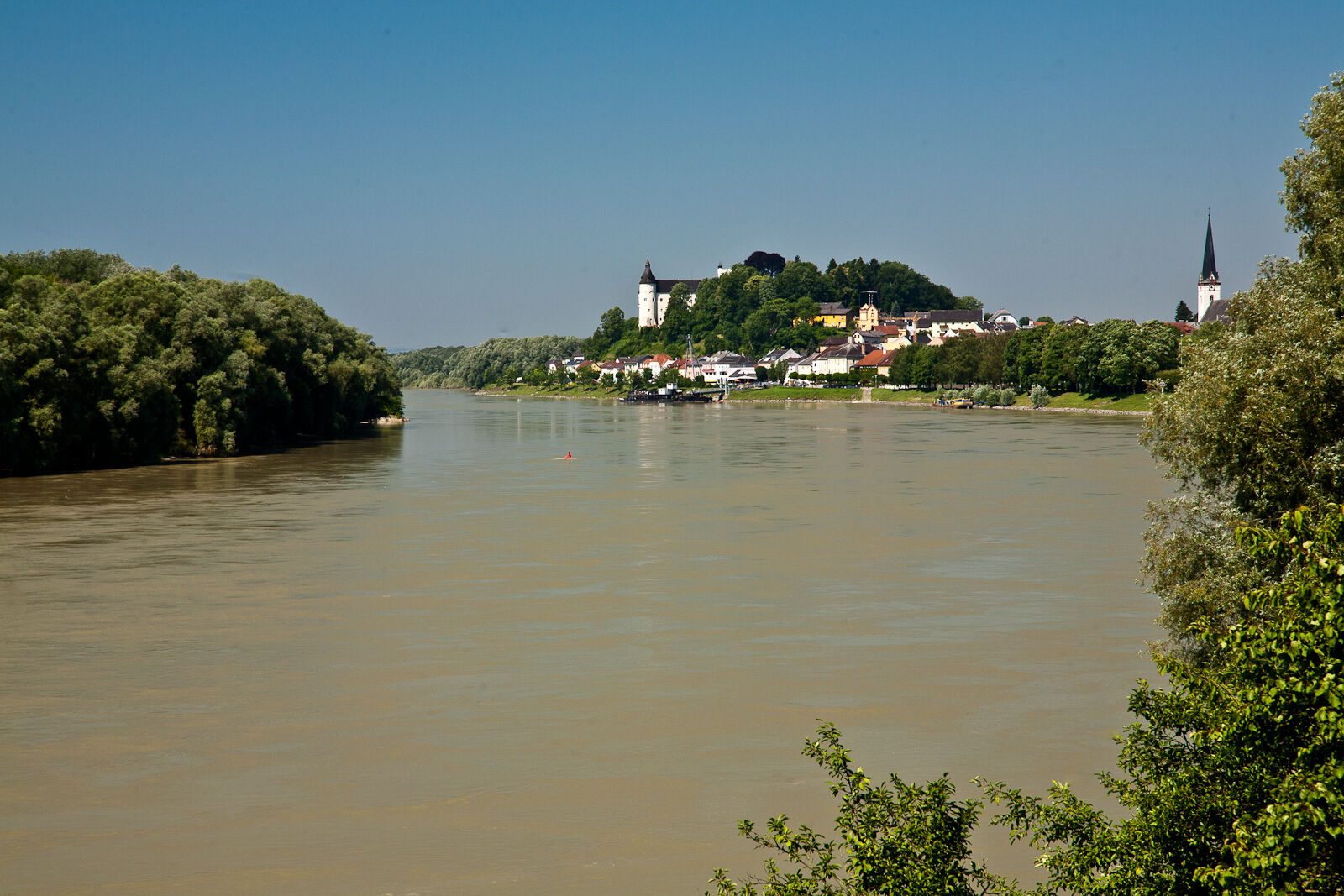
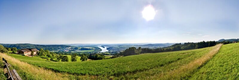
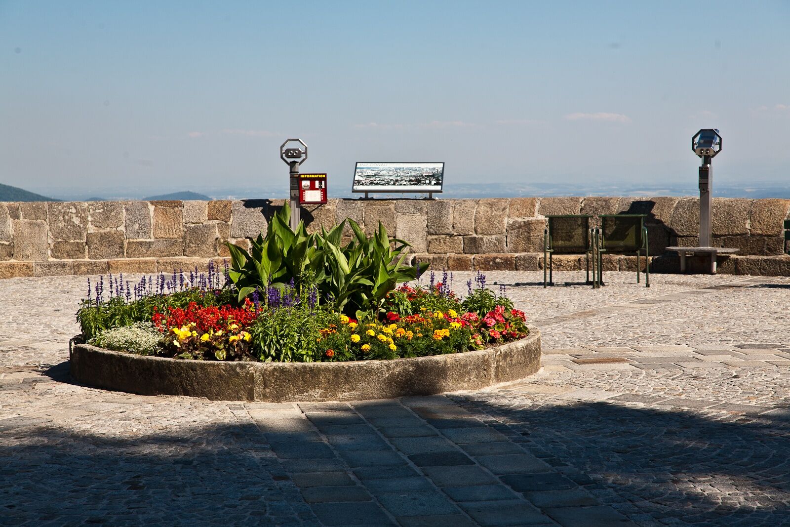
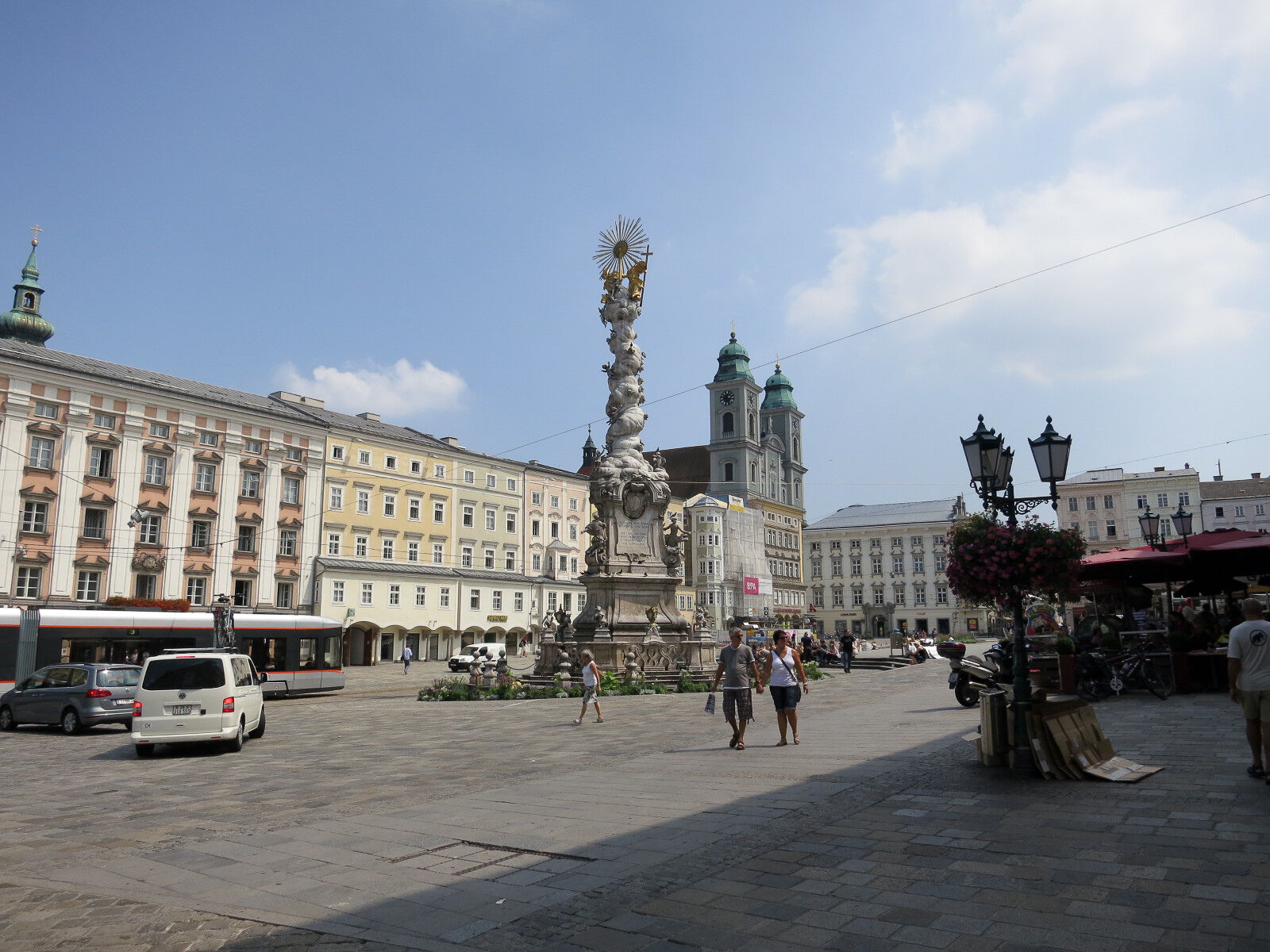

From the Donausteig starting point in Ottensheim, we follow the Treppelweg along the Danube downstream until it passes under federal highway B127 onto an asphalt road. We follow this road to the right up to the inn “Dürnberg”. Immediately afterwards, we go left under the highway and loop over the bridge towards the road tunnel. On the other side of the bridge, a beautiful forest path leads to the right along the Schröckingerbach uphill. After about 80 m, turn left. Here we leave the trench and hike over field paths in a slight right curve up to the asphalt road (next to Vierkanthof). We follow this road uphill to its end by the next farm. A field path continues in a long right curve uphill to the next intersection with an asphalt road (next to Vierkanthof). We cross it straight and continue via a field path uphill to the Donausteig rest area “Dürnberg”. Through a forest section (Lochstein), past a chapel, we hike later a short section along the forest edge (view to Kürnberg). Then follows a short descent over forest paths to some hidden houses. We cross the creek and reach the asphalt farm road on the opposite slope via a field path. We hike left further through a hollow to a Y-junction. Here, uphill to the right. On the road, we bypass a small forest section westwards and then turn right by the farm. Over field paths, we finally reach the Köglerhof. Straight ahead over a hiking trail uphill, we stand shortly thereafter at the hidden forest summit of Koglerau (wood panel, rock blocks, bench). Here we follow the ridge southwards (right). After about 80 m, we come to an intersection. A short detour to the right takes us to our Donausteig summit, the summit cross of the Donaublick. To the left, we hike downhill out of the summit forest and reach after a scattered settlement the junction with the asphalt Grossambergstraße (Marienkapelle). Now left, almost flat through meadows and fields. The next street, turning right, leads us quickly downhill. After a small settlement, the street turns into a forest path and leads in some serpentines down to the creek. After crossing it, a forest path goes uphill again on the opposite slope. At the intersection with the residential street, we follow it uphill to the left. In a wide right curve past the Gasthof Freiseder, we reach the main road at the Pöstlingberg cemetery. Turn left here and after 50 m, half-right up the footpath. Shortly afterwards, the road continues up the Pöstlingberg. At the level crossing of the Pöstlingbergbahn is the next junction. Here begins the short detour to the Donausteig rest area “Pöstlingberg platform”. For this, we follow the road left back through the fortress gate and then go right to the viewing terrace. For the descent to Linz, we cross the tracks and immediately walk the narrow footpath downhill to the right. Shortly afterwards, we come to the Way of the Cross, which quickly leads us via gravel roads and field paths down to the Petrinum at the foot of the Pöstlingberg. At the beginning(!) of its imposing main building, the Donausteig turns sharply right into Leistenhofstraße. At the T-junction, turn left and follow Wischerstraße to the next intersection. Now right along Doppelbauerweg again to the next intersection. We follow Rosenauerstraße left for a longer time to a plaza-like street junction (fountain). From here, the main street leads us right straight through Urfahr over the Danube Bridge to the Linz main square.
To facilitate your orientation, the Donausteig has been equipped with its own orientation system – you can find the description here .
Ano
In addition to personal hiking equipment, there are no special requirements.
The Donausteig starting point is located immediately after the south exit of the Ottensheim market square (GPS: A-4100 Ottensheim, Marktplatz).
The market core of Ottensheim is mostly a short-term parking zone – this also applies to the Danube shore at the ferry dock. Unlimited free parking is available at the Donauhalle parking lot (about 5 minutes' walk away; near the Danube shore) or at the parking lot near the school center (about 10 minutes' walk away; north of the parish church).
WGD Donau Oberösterreich Tourismus GmbH
Lindengasse 9
4040 Linz, Austria
Tel. +43(0)732/7277-800
Fax. +43(0)732/7277-804
info@donausteig.com
Tourism Association Ottensheim
Marktplatz 7
4100 Ottensheim, Austria
Telephone: +43 (0)7234 82255 30
Mobile: +43 (0)699 10437643
Fax: +43 (7234)82255 34
ottensheim@oberoesterreich.at
http://www.oberoesterreich.at/ottensheim
Municipal office Tel.: +43(0)7234/822550
Tourist Information Linz
Hauptplatz 1
4020 Linz
Tel.: +43(0)732-7070-2009
Fax: +43(0)732-7070-542009
tourist.info@linz.at
www.linz-tourismus.info and www.linz.at/tourismus
Take your time to discover the special features of the Pöstlingberg! The Maximilian fortress system, the grotto railway, the pilgrimage church, the view over Linz, ... all highlights that make the historic excursion mountain unique. And as a crowning finale, the descent with the Pöstlingbergbahn, the steepest adhesion railway in the world.
 Získejte přehled
Vždy živě na místě s více než 9 500 webkamerami. bergfex Jako uživatel Pro si nyní můžete zobrazit odpovídající webové kamery pro mnoho prohlídek v aplikaci prohlídky z. Můžete si tak přímo prohlédnout aktuální podmínky.
Získejte přehled
Vždy živě na místě s více než 9 500 webkamerami. bergfex Jako uživatel Pro si nyní můžete zobrazit odpovídající webové kamery pro mnoho prohlídek v aplikaci prohlídky z. Můžete si tak přímo prohlédnout aktuální podmínky.
Oblíbené prohlídky v okolí
-
3.9
Kerzensteinwanderung im "Naturschutzgebiet Pesenbachtal"
středníTuristika 4.16 km -
4.7
Prinzensteig Rundweg
světloTuristika 13.7 km -
4.4
Linz: City Hiking Trail Pöstlingberg
středníTuristika 7.71 km -
4.7
Steyregg Donau-Höhen-Rundwanderweg Pulgarn - Hohenstein (und zurück)
světloTuristika 7 km -
4.7
Steyregg Pfenningberg-Gipfelwanderweg
středníTuristika 4 km -
4.4
Ottensheim: Danube Panorama Route
středníTuristika 8.14 km -
5.0
Steyregg AV 50 Plesching - GH Daxleitner
světloTuristika 4 km -
4.1
Donausteig stage 3_S05 Wilhering - Linz: “Over the Prinzensteig through the Linz Gate”
střednídálková pěší trasa 13.2 km -
4.9
Kreuzweg auf den Pöstlingberg Linz, Österreich
světloTuristika 1.30 km -
4.1
Kürnbergwald - kurzer Rundwanderweg
světloTuristika 9.46 km
Pěší turistika a stopování


Nenechte si ujít nabídky a inspiraci pro vaši příští dovolenou
Vaše e-mailová adresa byl přidán do poštovního seznamu.





