







Circuit pédestre n°SG4 Le bois de Roche
Start from the church. Follow signs for Saint Goussaud (D48) as far as La Ronze. In the village center, turn right, then right again after 200m. Pass the reservoir to join the forest track and turn right....
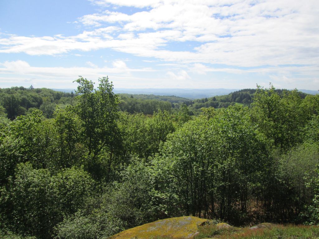
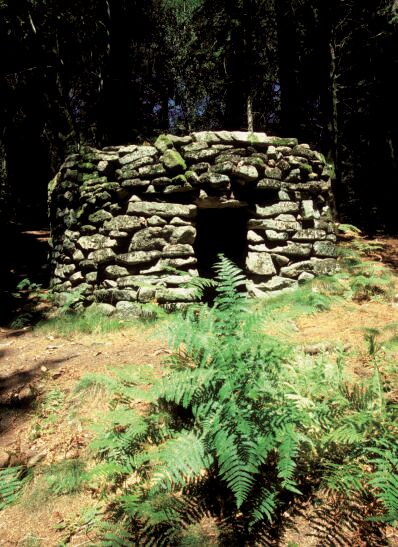
Start from the church. Follow signs for Saint Goussaud (D48) as far as La Ronze. In the village center, turn right, then right again after 200m. Pass the reservoir to join the forest track and turn right. An old track leads to Bossabut. In the village center, go left up the D57 for 1km, then turn right at the summit. Follow the ridge path (pouge) over the village of Volondat and follow the D28a to the right as far as Les Beiges. Descend into the village and, at the exit, follow a pretty paved "chemin creux" to the left (A4): go down the road to take the path on the right 100m after the pumping station. At the bottom of the descent, before the broken bridge, on the right near a large coniferous tree, a path leads to the old oak tree 60m away (detour).


Ano
Oblíbené prohlídky v okolí
-
5.0
From Fursac to Paulhac Fc5
světloTuristika 8.39 km -
Le Puy de Roche-guette CM7
středníMountainbike 16.7 km -
Mountain bike route no. 2 - Saint Goussaud
světloMountainbike 10.1 km -
Circuit N°63 CC : Sentier "Histoire et Patrimoine"
heavyJízda na koni 27.6 km -
Circuit pédestre N°58 : "L'Or des Gaulois"
světloTuristika 11.2 km -
Gravel noir n°4 "Le M-Roc"
heavyMountainbike 77.1 km -
Gravel rouge n°3 - "L'enjambée du Thaurion"
heavyMountainbike 51.9 km -
Circuit N°63 CC : Sentier "Histoire et Patrimoine" - Variante Ouest
středníJízda na koni 14.0 km -
Circuit pédestre n° CM7 Le Puy de Roche Guette
heavyTuristika 16.9 km -
Gravel bleu n°2 - "De la Brousse au Puy de Gaud"
středníMountainbike 23.8 km

Pěší turistika a stopování


Nenechte si ujít nabídky a inspiraci pro vaši příští dovolenou
Vaše e-mailová adresa byl přidán do poštovního seznamu.





