






Le Puy de Roche-guette CM7
Follow the yellow markings.

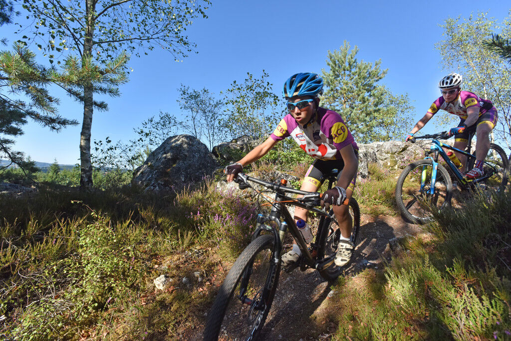

Start: Tourist office or beach of Châtelus le Marcheix
Start from Châtelus beach. Cross the bridge to take the road on the left and immediately the path going up on the right (GR4), 50 m higher turn left then right.
Cross the village of Monsergue to continue towards Manerbe. In Manerbe, follow the road to the end of the village, then the forest track that continues to Mastonin. From there, go down the small path on the right at the corner of a house.
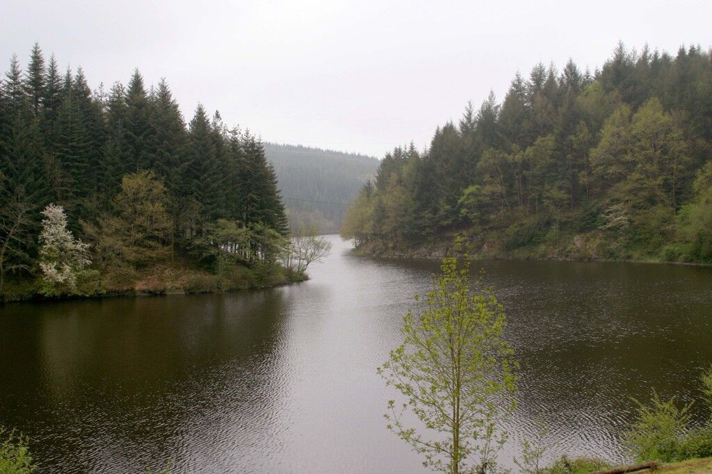
Follow the Egaux pond on the right to turn left 150 m later onto a wood storage area. 300 m after the resistance memorial turn left to reach the village of Boissieux by the road.
In the village, take a small road on the left that becomes a path until the intersection of three roads. Continue straight ahead, the path that starts to the right. Rejoin the GR4 by going up to the left.
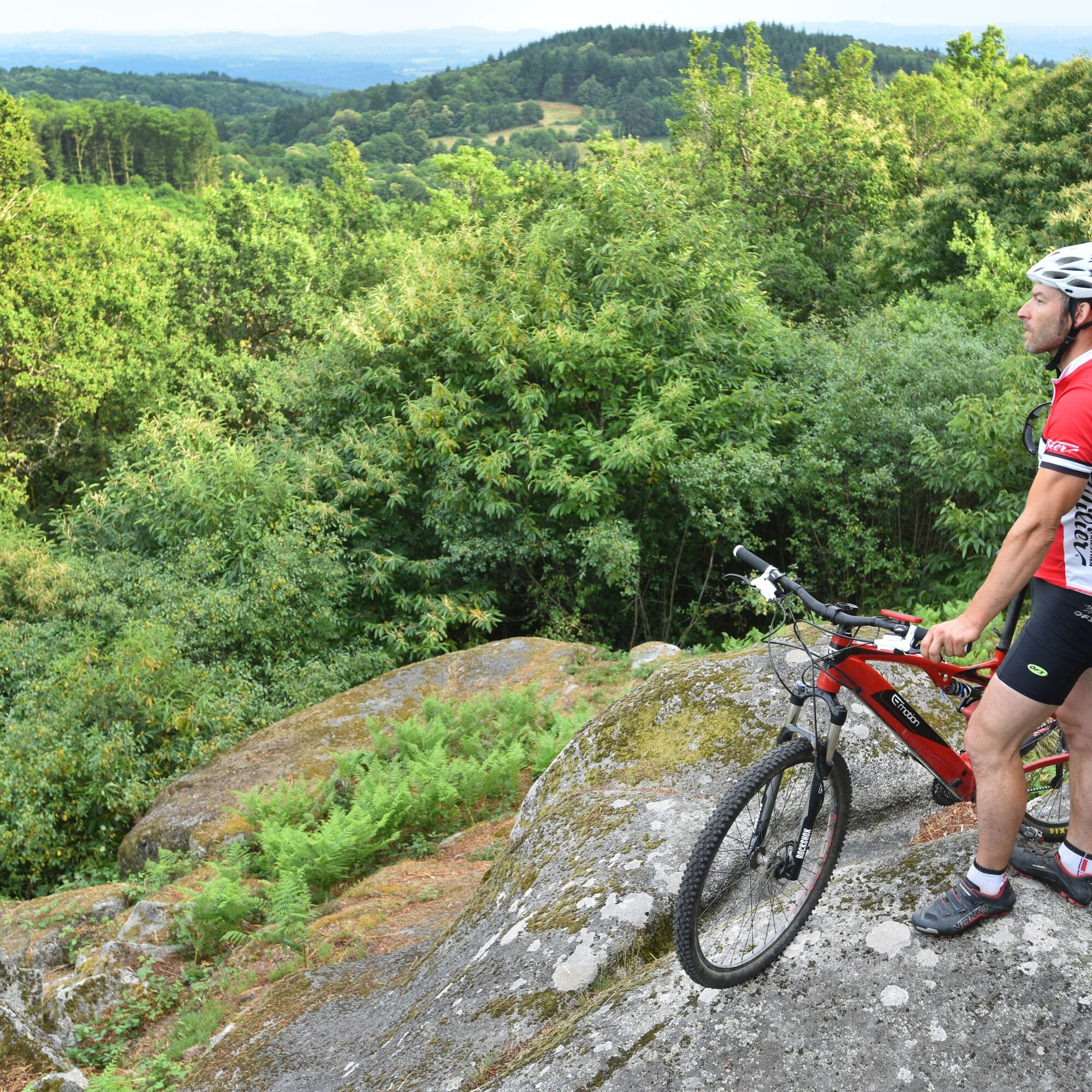
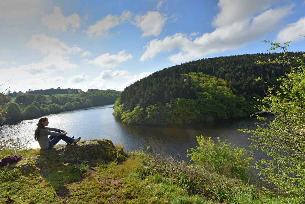
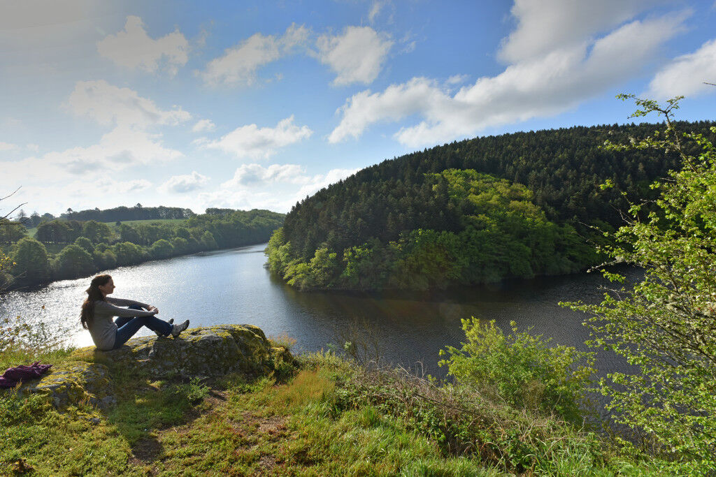
Cross the forest of "Puy de Roche-Guette" (638 m) and go down to the picnic viewpoint. After the break, go back 100 m on your steps then go down the forest track towards Garnaud.
Take the road to the right, cross the hamlet and take another track that goes up on the left. One climb, one descent and you are back in Manerbe.
Descend to Châtelus by the same path
A bike in good condition and well equipped helps guarantee your safety as well as that of other road users.
Before setting off:
Ensure the bike's mechanical condition is perfect, including tires and brakes Make sure the bike is properly adjusted to your body shape Wearing a helmet is strongly recommended Bring a repair kit Remember that the Highway Code applies to cyclists at all times Never ride more than two abreast and move into a single file when traffic conditions require it Respect other users as you would like to be respected Choose a route suited to your physical abilities Inform those around you of your itinerary Check weather conditions A first aid kit is not essential but can be very useful Know and keep the emergency numbers. Respect the environment by not throwing your food packaging on the roadside If you must return at dusk, make sure to see and be seenEmergency number valid in the European Union: 112
For people with hearing or speech difficulties: 114 by SMS
Parking available near the activity starting point.
Tourist office of the Pays des Eaux Vives
Tel.: 05 55 62 68 35
Email: ot.eaux.vives@wanadoo.fr
Oblíbené prohlídky v okolí
-
Bike loop 50 - Saint-Dizier-Leyrenne and the Thaurion valley
středníSilniční kolo 19.1 km -
Circuit N°63 CC : Sentier "Histoire et Patrimoine" - Variante Est
středníJízda na koni 18.6 km -
Mountain bike route no. 2 - Saint Goussaud
světloMountainbike 10.1 km -
Circuit N°63 CC : Sentier "Histoire et Patrimoine"
heavyJízda na koni 27.6 km -
Circuit pédestre N°58 : "L'Or des Gaulois"
světloTuristika 11.2 km -
Creuse Route / South Section: Châtelus le Marcheix > Royère de Vassivière
světloCyklistika na velkou vzdálenost 54.8 km -
Gravel rouge n°3 - "L'enjambée du Thaurion"
heavyMountainbike 51.9 km -
Circuit N°63 CC : Sentier "Histoire et Patrimoine" - Variante Ouest
středníJízda na koni 14.0 km -
Circuit pédestre n° CM7 Le Puy de Roche Guette
heavyTuristika 16.9 km -
Gravel bleu n°2 - "De la Brousse au Puy de Gaud"
středníMountainbike 23.8 km
Pěší turistika a stopování


Nenechte si ujít nabídky a inspiraci pro vaši příští dovolenou
Vaše e-mailová adresa byl přidán do poštovního seznamu.





