







Grande Traversée VTT de la Creuse (GT 23/First section)
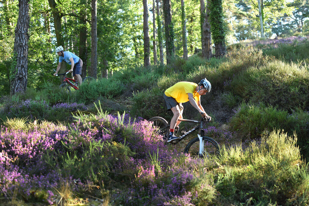
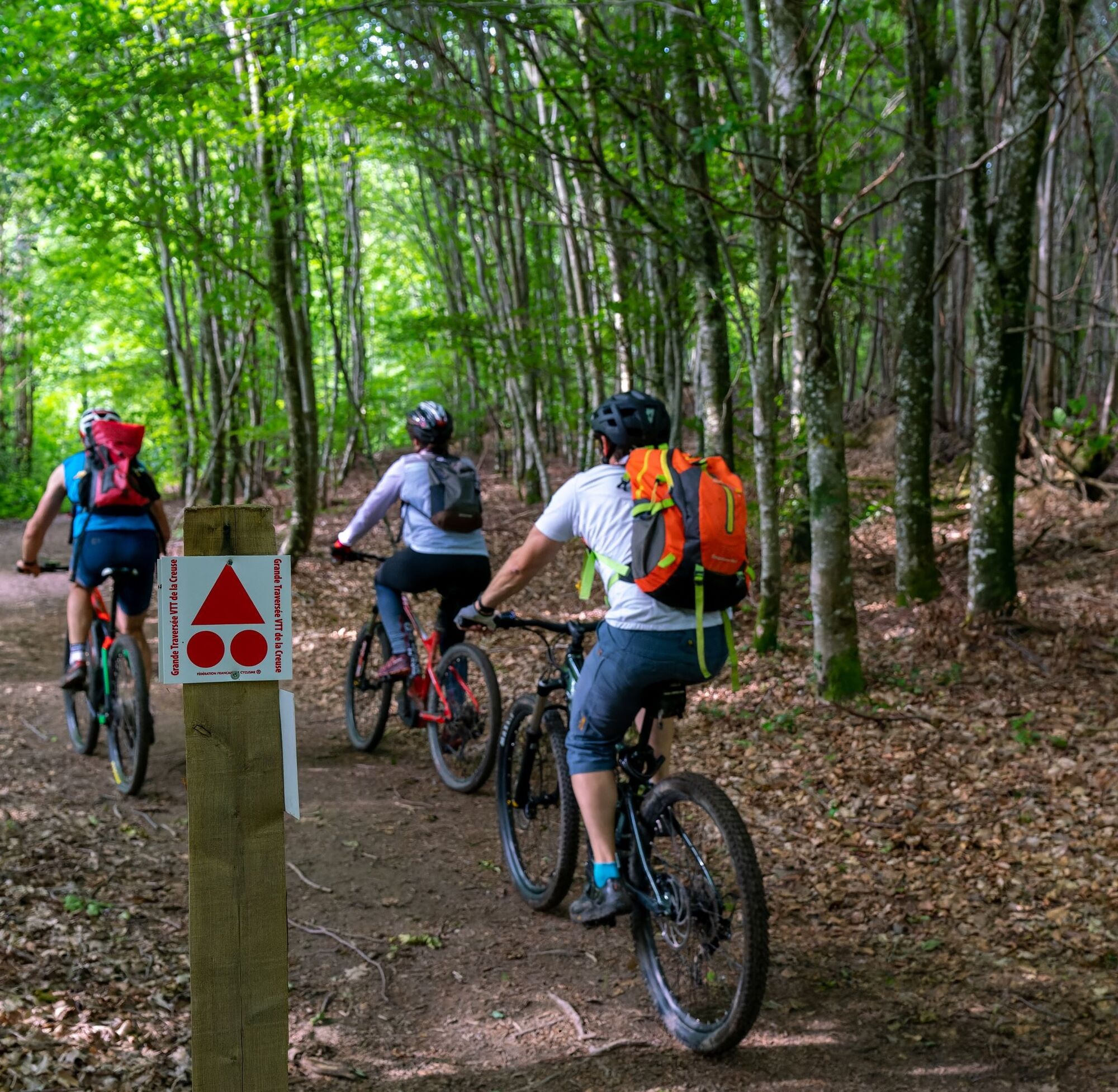
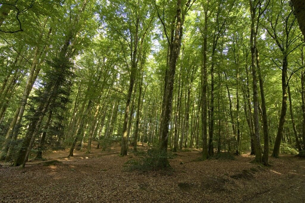
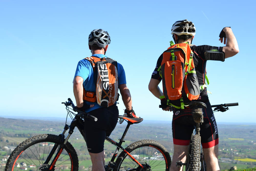
The GT 23 is a loop that passes through Dun-le Palestel and lets you tour the Monts de Guéret.
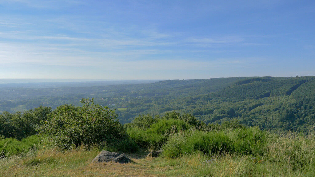
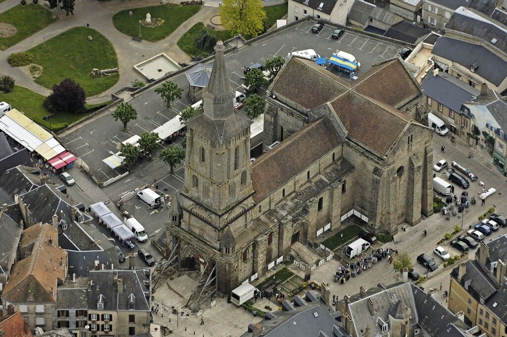
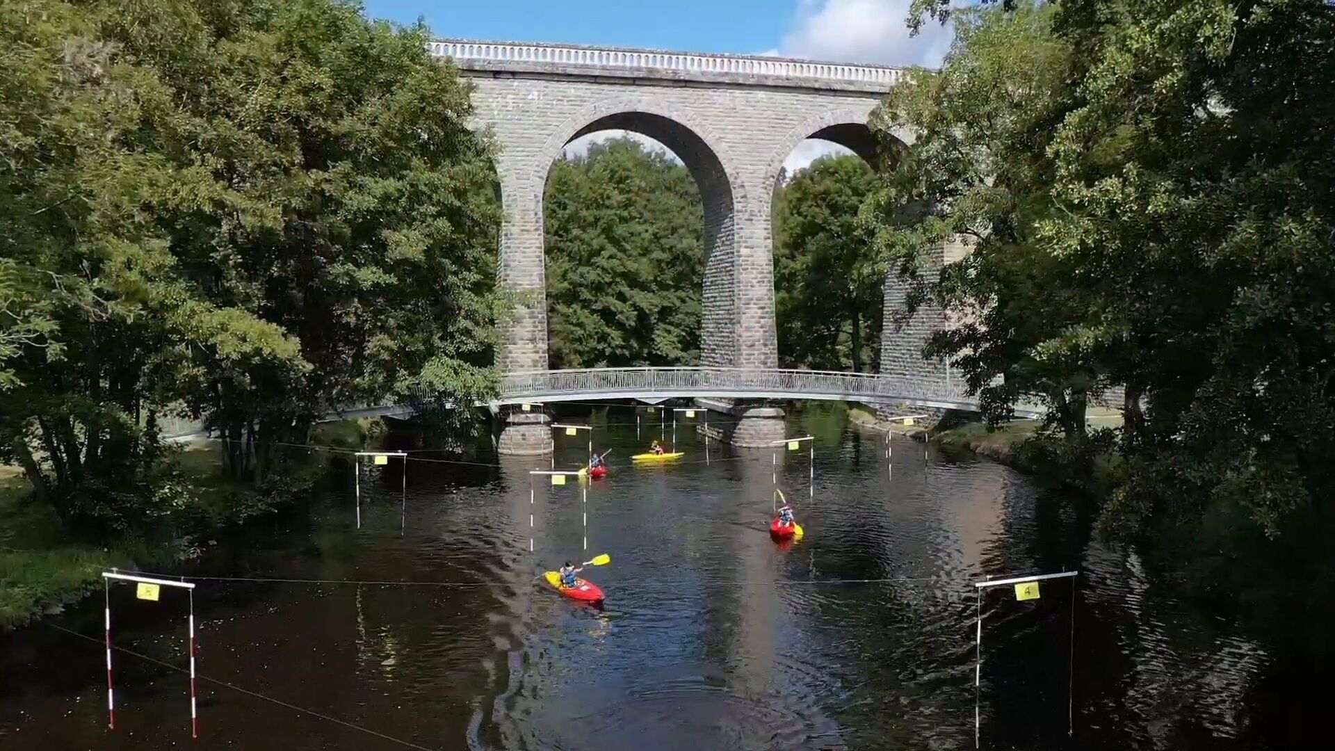
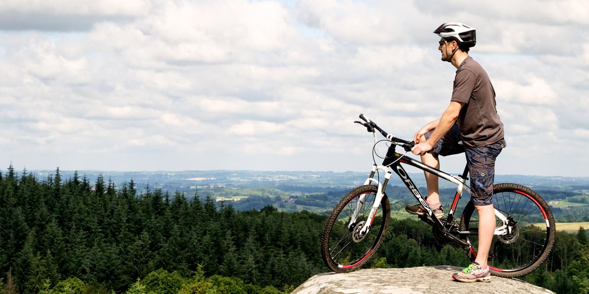
On the route, rural roads, forest singletracks, and typical small villages combine with many breathtaking...
The GT 23 is a loop that passes through Dun-le Palestel and lets you tour the Monts de Guéret.
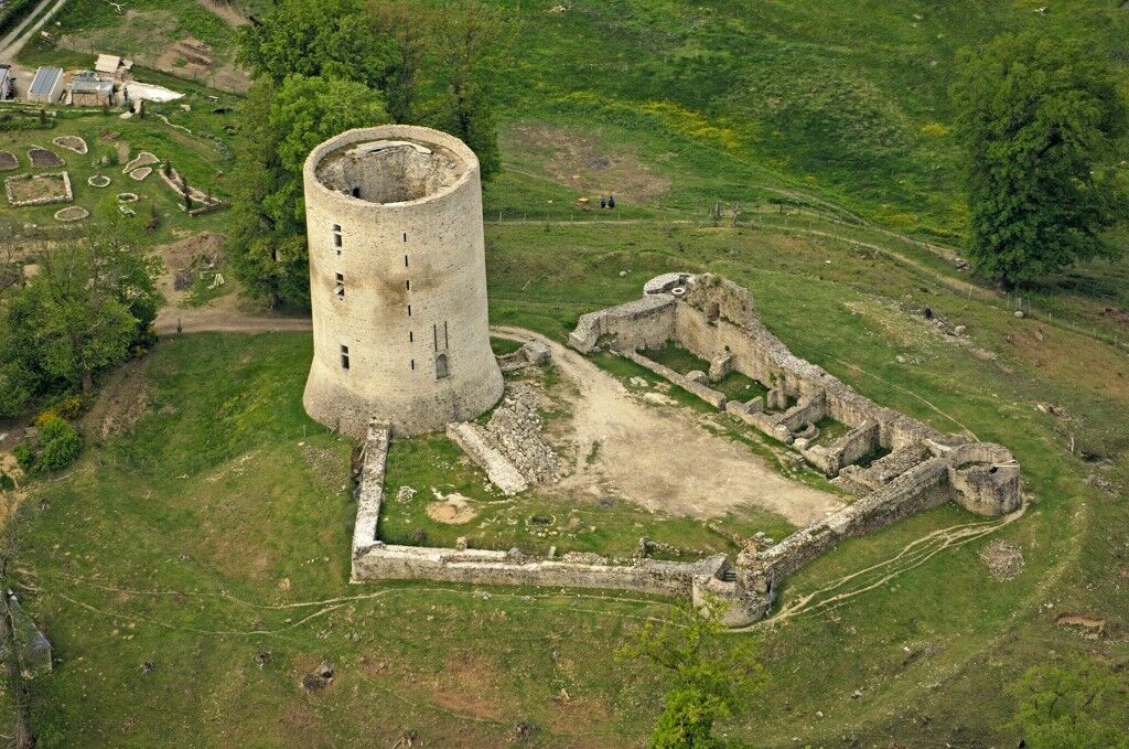
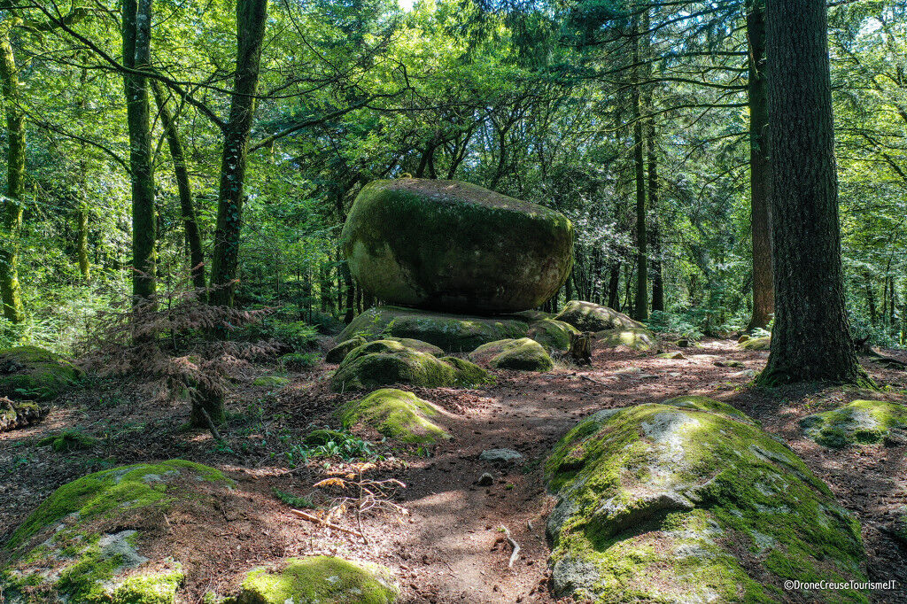
On the route, rural roads, forest singletracks, and typical small villages combine with many breathtaking panoramas to make your experience unforgettable.
Average duration of the route: Between 3 and 5 days



Recommended stages
La Souterraine / Bussière-Dunoise: 39 km (588 m ascent) Bussière-Dunoise / Saint-Silvain-Montaigut: 40 km (805 m ascent) Saint-Silvain-Montaigut / Guéret: 44 km (1,058 m ascent) Guéret / Saint-Laurent: 44 km (813 m ascent) Saint-Laurent / Bussière-Dunoise: 59 km (738 m ascent) Bussière-Dunoise / La Souterraine: 39 km (552 m ascent)Ano
Ano
Mountain Biking as you want! but…
Use the marked trails for your safety and respect the direction of the routes Do not overestimate your abilities and keep control of your speed Be careful and courteous when overtaking or crossing hikers because pedestrians have priority Check the condition of your mountain bike and plan for supplies and repair tools If you go alone, leave your route with someone you trust Wearing a helmet is highly recommended Respect private properties and cultivated areas Be careful of agricultural and forestry machinery Close all gates behind you Avoid picking wild flowers, fruits, and mushrooms Do not disturb the peace of wild animals Keep your trash, be discreet and respectful of the environmentEmergency number: 112
North - South axis:
Paris – Limoges A10/A71/A20 Paris/Vierzon/Châteauroux/Limoges (exit La Souterraine).East - West axis:
Poitiers – Clermont-Ferrand N147/N145/A71 Bordeaux – Lyon A89Think about carpooling!
Paris – Gare d’Austerlitz:
Paris – Limoges line. Stop at La Souterraine station.
Parking available at the start and along the route.
To learn more about our destination, visit our website
Official opening on June 1, 2021 (1st section) – Open all year round
Sections will be opened each year until 2024
Oblíbené prohlídky v okolí
-
5.0
Circuit Pédestre N°15 CC : "Sur les pas des moines et des seigneurs"
světloTuristika 10.2 km -
GRP des Monts de Guéret - Wolf Loop
heavydálková pěší trasa 48.1 km -
Grande Traversée VTT de la Creuse (GT23/Second Section)
heavyMountainbike 260.7 km -
Mountain bike route No. 32 - Forêt de Chabrières
heavyMountainbike 16.5 km -
Circuit de randonnée pédestre n° 17 Le Maupuy et ses Pierres Civières
středníTuristika 7.04 km -
Trail Les rochers de Chabrières
středníTrailrunning 20.3 km -
Trail The Great Quarry
středníTrailrunning 13.6 km -
Mountain bike circuit no. 36 - Jouillat Leisure Center
heavyMountainbike 19.3 km -
Mountain bike route no. 31 - Le Puy de Gaudy
středníMountainbike 21.3 km -
Trail The Petite Carrière
světloTrailrunning 10.9 km

Pěší turistika a stopování


Nenechte si ujít nabídky a inspiraci pro vaši příští dovolenou
Vaše e-mailová adresa byl přidán do poštovního seznamu.





