


Great Krpan Trail
Fotografie našich uživatelů
-

 © Davor Umag City Croatia.??Vytvořeno dne 03.11.2024
 -
 © Davor Umag City Croatia.??Vytvořeno dne 03.11.2024
 -
 © Davor Umag City Croatia.??Vytvořeno dne 03.11.2024
 -
 © Davor Umag City Croatia.??Vytvořeno dne 03.11.2024
 -
 © Davor Umag City Croatia.??Vytvořeno dne 03.11.2024
 -
 © Davor Umag City Croatia.??Vytvořeno dne 03.11.2024
 -
 © Davor Umag City Croatia.??Vytvořeno dne 03.11.2024
 -
 © Davor Umag City Croatia.??Vytvořeno dne 03.11.2024
 -
 © Davor Umag City Croatia.??Vytvořeno dne 03.11.2024
 -

 © GrizliVytvořeno dne 01.05.2026
 -
 © GrizliVytvořeno dne 01.05.2026

The Green Karst is the land of Martin Krpan, one of the most famous Slovenian literary heroes. A distinctive rebel, he was engaged in smuggling salt, which was forbidden at the time. With his cleverness...
The Green Karst is the land of Martin Krpan, one of the most famous Slovenian literary heroes. A distinctive rebel, he was engaged in smuggling salt, which was forbidden at the time. With his cleverness and ingenuity, he surprised the emperor and empress, and with his physical strength, he defeated the mighty Brdavs and protected the empire from the Turkish invasion.
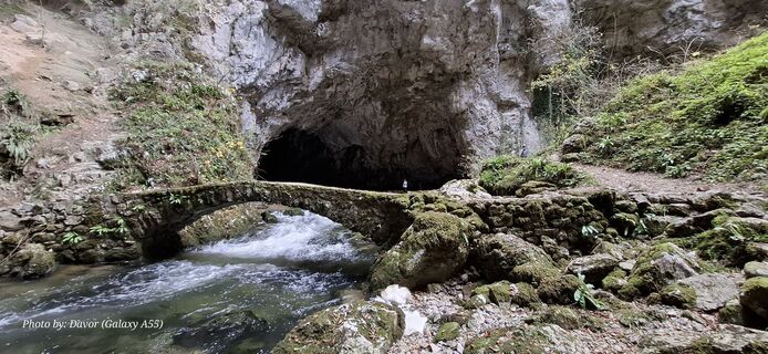
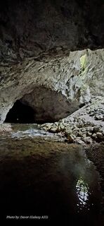
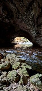
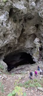
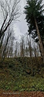
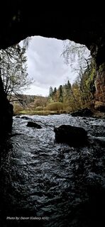
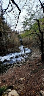
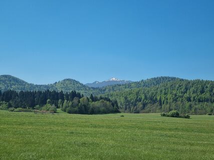
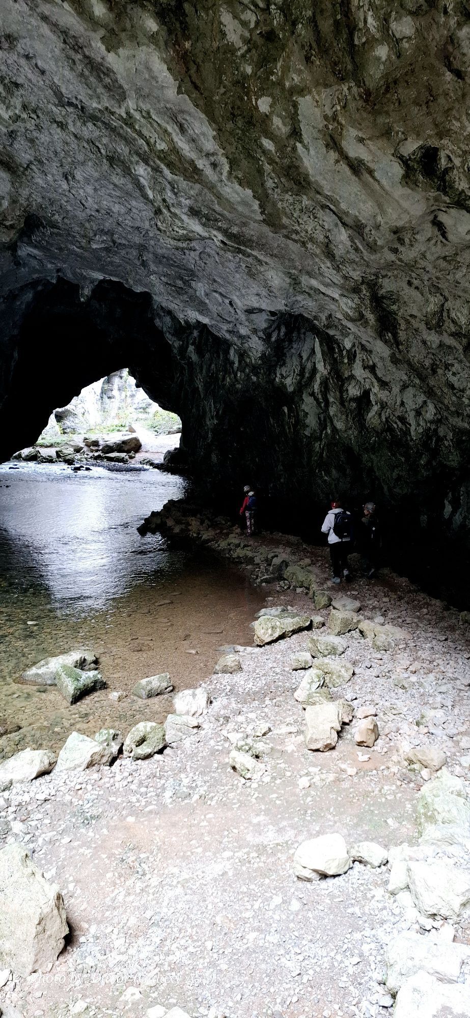
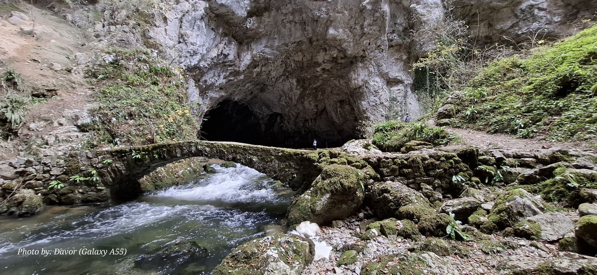
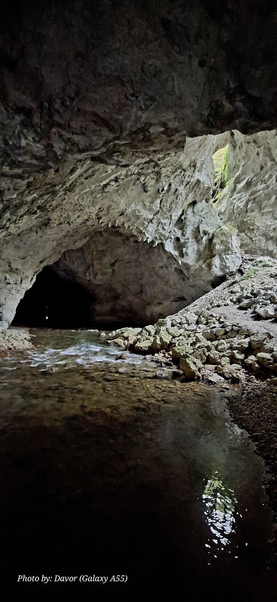
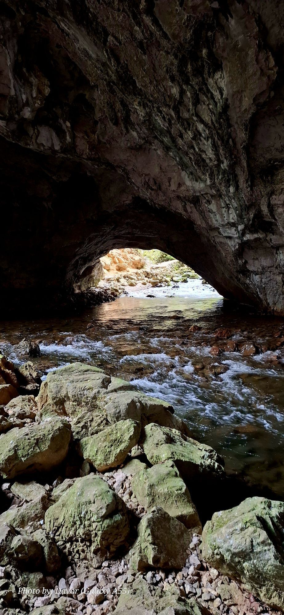
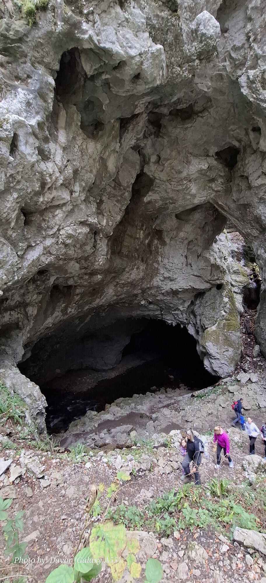
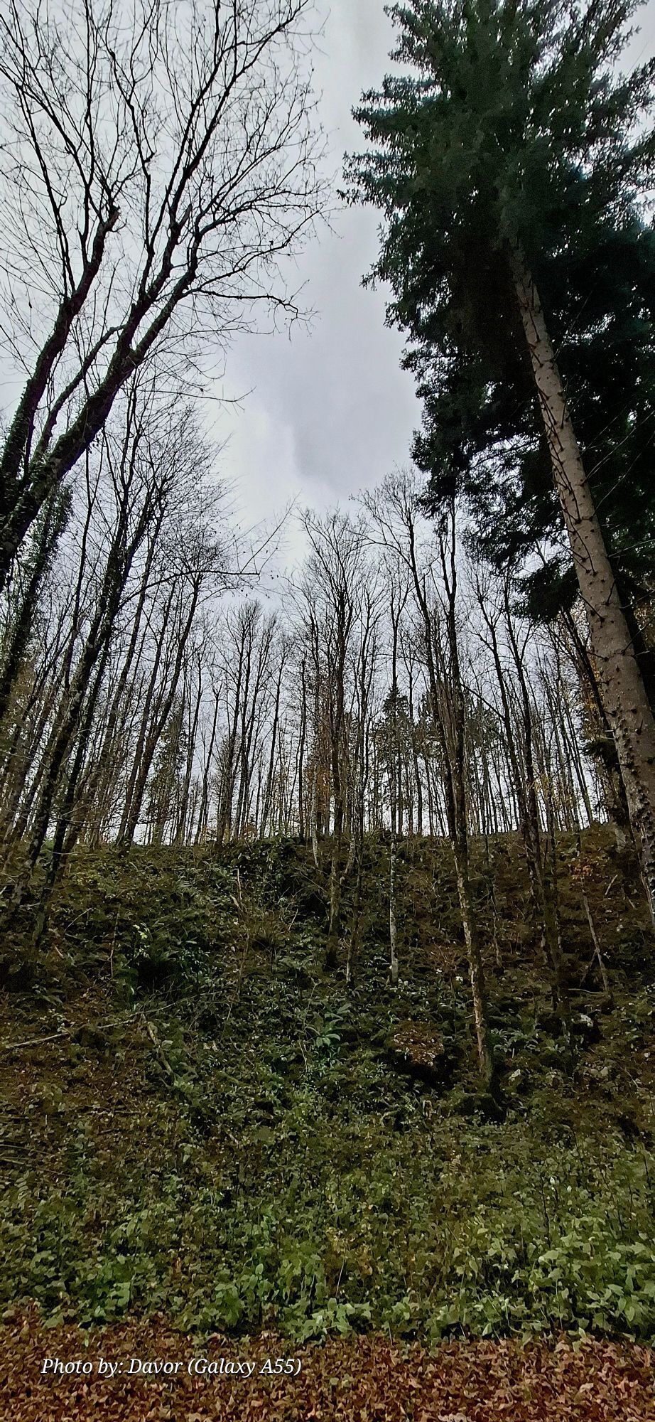
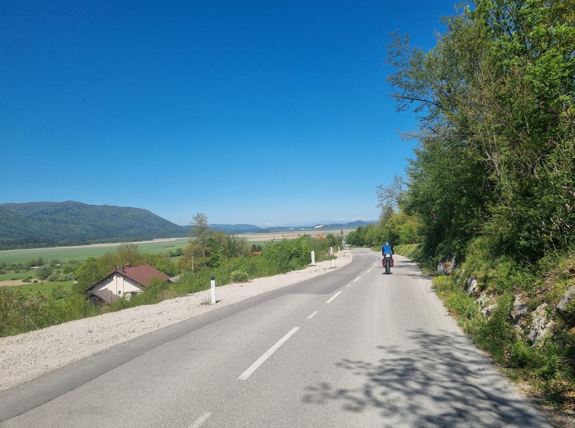
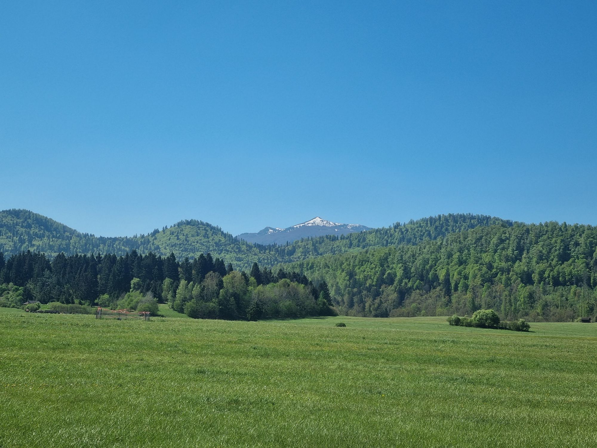
The trail is a multi-day adventure for all lovers of activity in unspoiled nature, among natural and cultural landmarks. It takes you past drying lakes, karst caves, castle ruins, and preserved manors. Along the way through forests, meadows, and pastures, you can admire the colorful plant world. You might also spot a roe deer or fox, and with great luck, even a bear.
The trail is primarily a hiking trail and is marked as such in nature. Except for four shorter detours, it is also suitable for cycling. Hikers and cyclists are assisted by the Great Krpan Trail map, which shows both the hiking and cycling routes, includes a QR code for GPS track access, and offers two suggested route extensions.

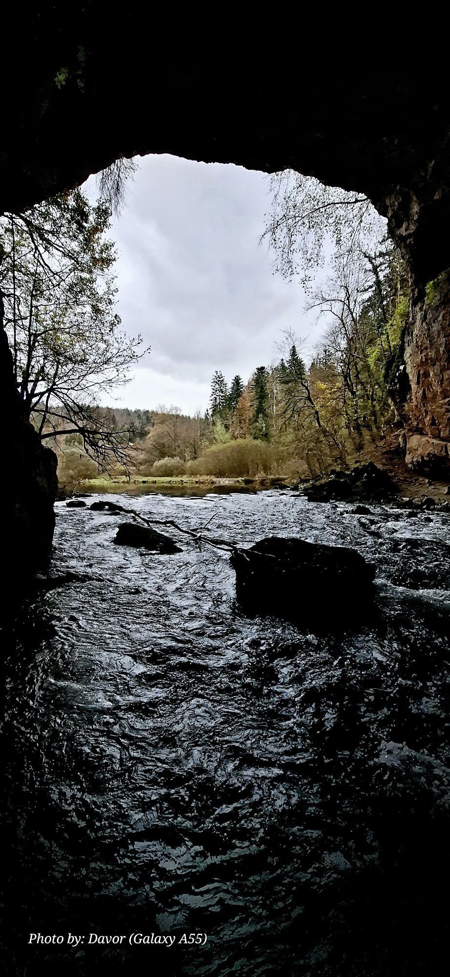
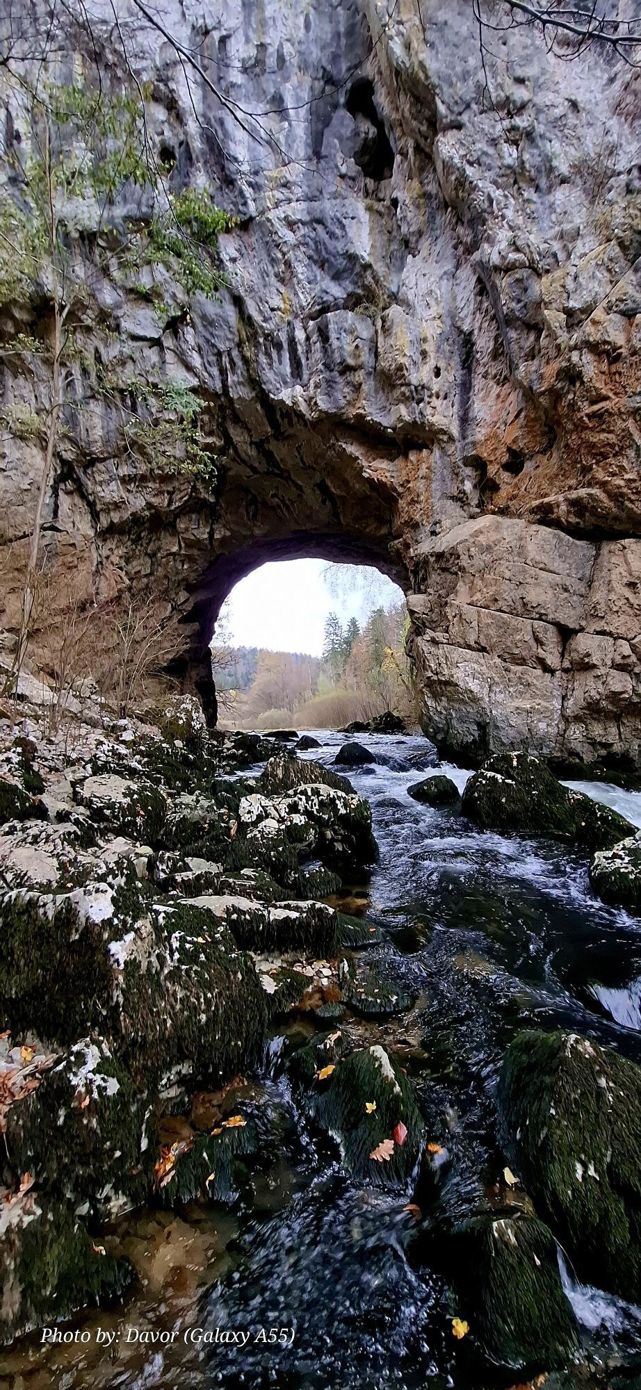
The legendary literary folk hero in the story by Slovenian writer Fran Levstik started the route in Pivka, crossed the Javorniki forest massif through Šilentabor and the upper Pivška basin to the edge of Lake Cerknica. The trail continues towards the Loška valley, where it begins to climb up to the Bloška plateau near Snežnik castle; from there it is possible to continue over Slivnica or descend the steep slope to the Cerknica field with an exceptional view of Lake Cerknica. The route then leads through the picturesque Rak Škocjan, where it climbs to Postojna. From there, the trail takes you along the Pivka river basin to the hill of Sv. Trojica and back to the starting point in Pivka.
Ano
Hiking equipment suitable for all weather conditions.
No special features.
Accessible by public transport
Available
You can get the map of the Great Krpan Trail at the tourist info center
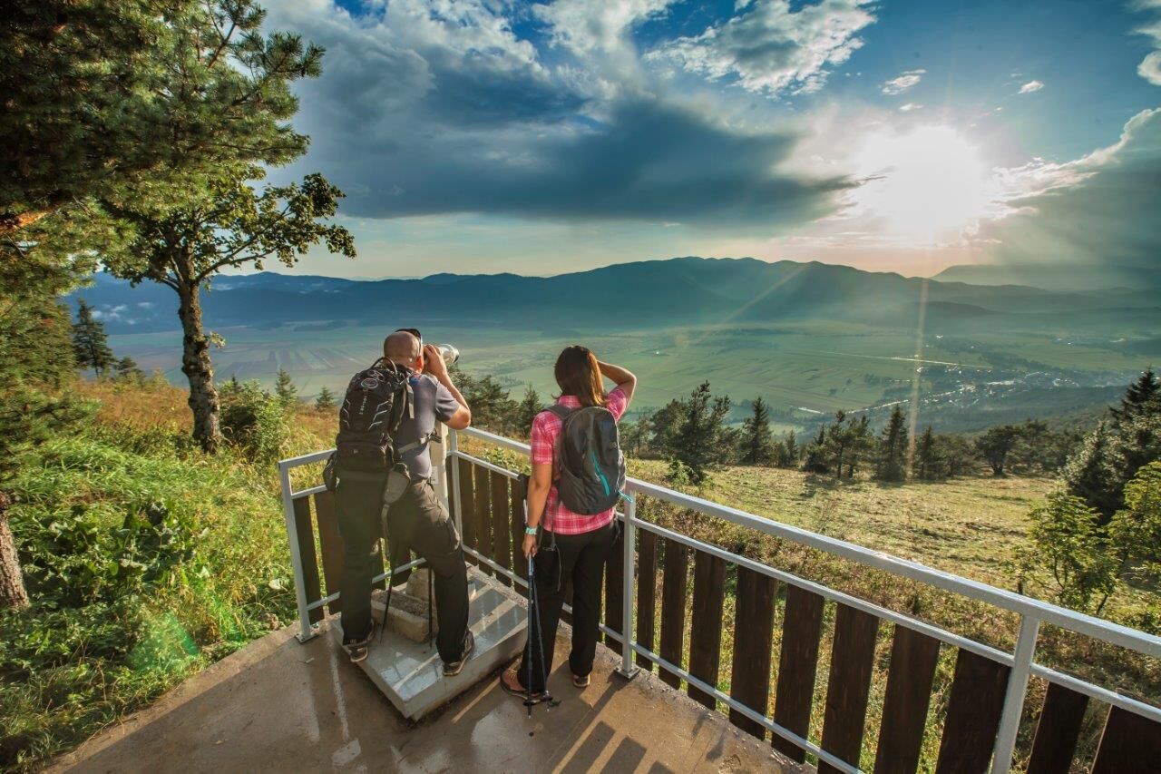
On the Krpan trail, there are 7 control points where hikers can get a stamp on their card; the points are marked on the map with a blue number on a yellow background. Hikers also have access to hikers and trail information. The numbers particularly highlight major landmarks along the route that can be seen.
Oblíbené prohlídky v okolí
-
5.0
Slivnica
světloTuristika 7.25 km -
Heart trail Postojna
světloTematická stezka 4.58 km -
Thematic Path of Military History
středníTematická stezka 12.6 km -
Stezka Drvošec
středníTuristika 4.57 km -
Slovenian section of Via Dinarica
střednídálková pěší trasa 140.1 km -
The Krpan Trail
heavyTuristika 109.3 km -
Jurišče-Kršičevec
světloTuristika 7.82 km -
Novokračine - Veliki Snežnik - Suhi vrh - Oltar
střednídálková pěší trasa 225.3 km -
Loška Dolina - Gostilna Škriban - Kneška vrata - Brunarica pri Bloškem jezeru
světlodálková pěší trasa 27.2 km -
Volčje - Velika Slivnica - Debeli vrh - Tabor
světlodálková pěší trasa 21.7 km
Pěší turistika a stopování


Nenechte si ujít nabídky a inspiraci pro vaši příští dovolenou
Vaše e-mailová adresa byl přidán do poštovního seznamu.