







Via Adrina - Hiking Tour with Views Relations (1. Stage)

A hike with expansive views - even if you only walk the first stage. Beautiful scenery are awaiting the hikers - the rushing river Eder and fairytale paths.
The 12 km long stage of the premium hiking trail...
A hike with expansive views - even if you only walk the first stage. Beautiful scenery are awaiting the hikers - the rushing river Eder and fairytale paths.
The 12 km long stage of the premium hiking trail leads through various landscape along the Eder around Arfeld. The approximately four-hour tour leads through hilly landscape and rewards you with wonderful panoramic views on the heights and adventurous nature trails in the valleys.
From the outlook platform you have a particularly good view of the past and the coming sections of the trail.
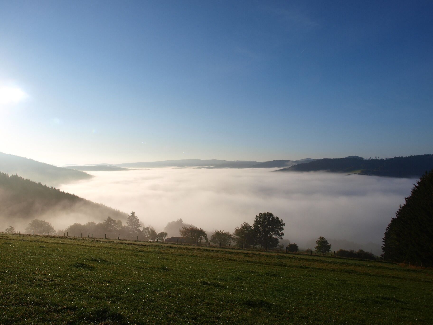
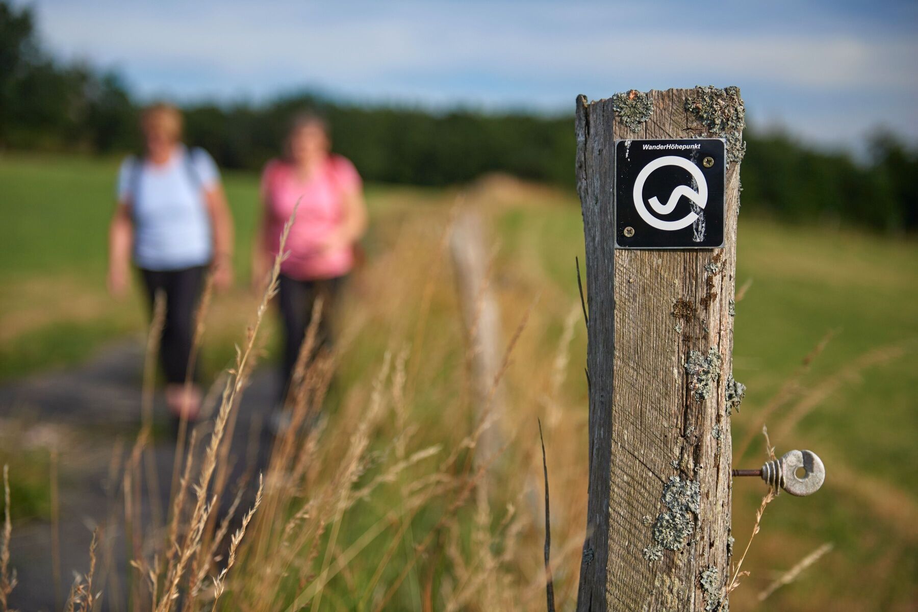
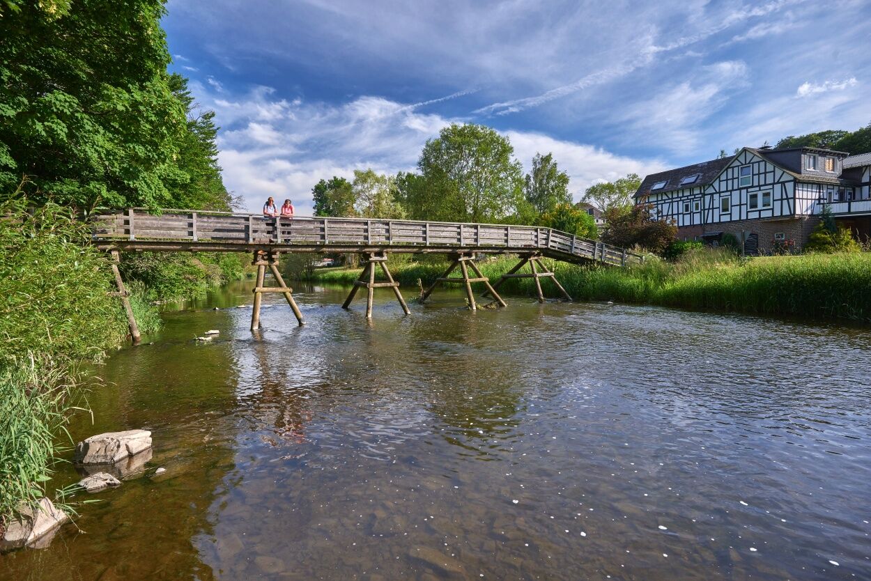


The first stage is 13 km and leads over the Eder bridge, along a headwater area with a group of trees. Then follows a steep ascent to the viewing platform, which offers a view over the entire hiking area.
The "Café Hainbach" is the next stop. We follow the tour around the basin of the Mühlbach Valley and get a view to the upper Hüttental up to Schwarzenau.
You will pass rough meadows. White and blackthorn bushes are dominating the landscape.
We follow the traces of the mining industry, including an old charcoal pile place.
Afterwards we pass through a herding landscape (Hutelandschaft), as it used to belong to every village.
We can now follow the signs back to Arfeld.
Afterwards we pass the protestant church, which is open during the summer months for hikers and cyclists.
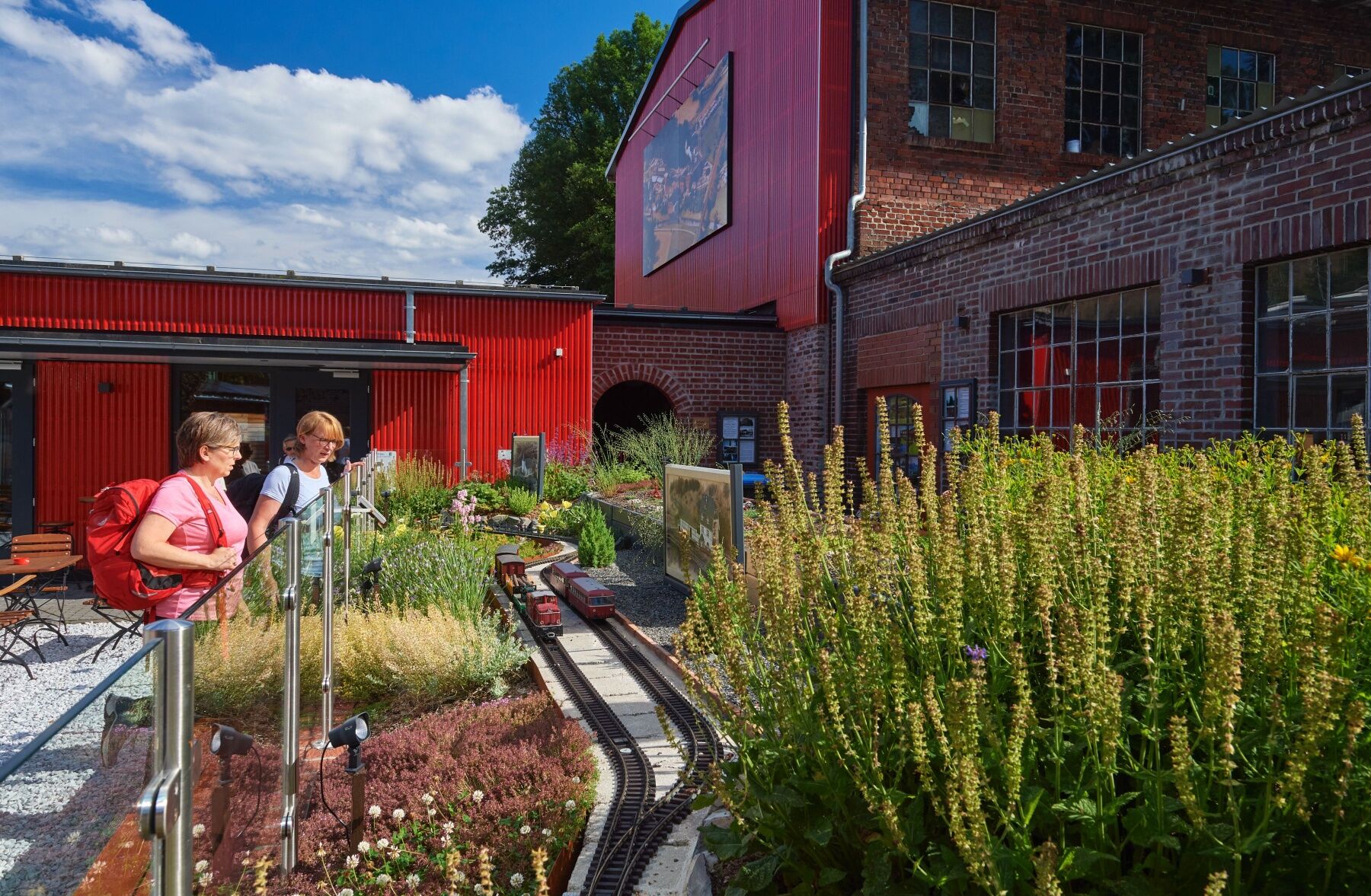
The Arfeld blacksmith museum is also worth a visit on every 3rd Saturday of the month from 10 to 12 o'clock.
You can use the hiking Map "Wittgenstone" available at the Tourist Information Desk, Am Marktplatz 1a in Bad Berleburg.
Sturdy shoes and probalby hiking sticks are recommended.
The circular tour demands a certain level of fitness and surefootedness in places; sturdy shoes are recommended.
Follow the L553 from Raumland to Arfeld. Immediately behind the Eder bridge turn left. The parking space is on the left side.
From Hatzfeld follwo the L553 through Arfeld. At the end of the village, to Dotzlar - turn right before the Eder bridge. The parking space is on the left side.
The parking space is free and offers enough space.
In 2009 the "Via Adrina" was awarded as the third most beautiful hiking trail in Germany.
Oblíbené prohlídky v okolí
-
5.0
Von Schanze über den Rothaarsteig nach Jagdhaus (ÖPNV-Tour)
středníTuristika 14.3 km -
4.0
Wittgensteiner Schieferpfad (Wittgenstein slate trail) - An exciting Adventure
heavyTuristika 13.7 km -
Lahnwanderweg stage 03 Bad Laasphe – Biedenkopf
středníTuristika 17.6 km -
Lahnwanderweg stage 02 Feudingen – Bad Laasphe
středníTuristika 16.8 km -
4.0
Sauerland-Höhenflug: From Altastenberg to Hallenberg
heavyTuristika 24.6 km -
Lahnwanderweg 04. Stage upstream Buchenau - Biedenkopf
světloTuristika 12.5 km -
4.0
Golddorf-Route Latrop
světloTuristika 5.54 km -
Via Adrina - The Eder hiking route with wonderful views
heavyTuristika 20.8 km -
Rothaarsteig von Winterberg nach Jagdhaus
heavyTuristika 29.0 km -
Lahn cycle path 1st stage upstream Biedenkopf - Feudingen/Lahn source
heavyJízda na kole 30.7 km
Pěší turistika a stopování


Nenechte si ujít nabídky a inspiraci pro vaši příští dovolenou
Vaše e-mailová adresa byl přidán do poštovního seznamu.





