


Via Adrina - The Eder hiking route with wonderful views
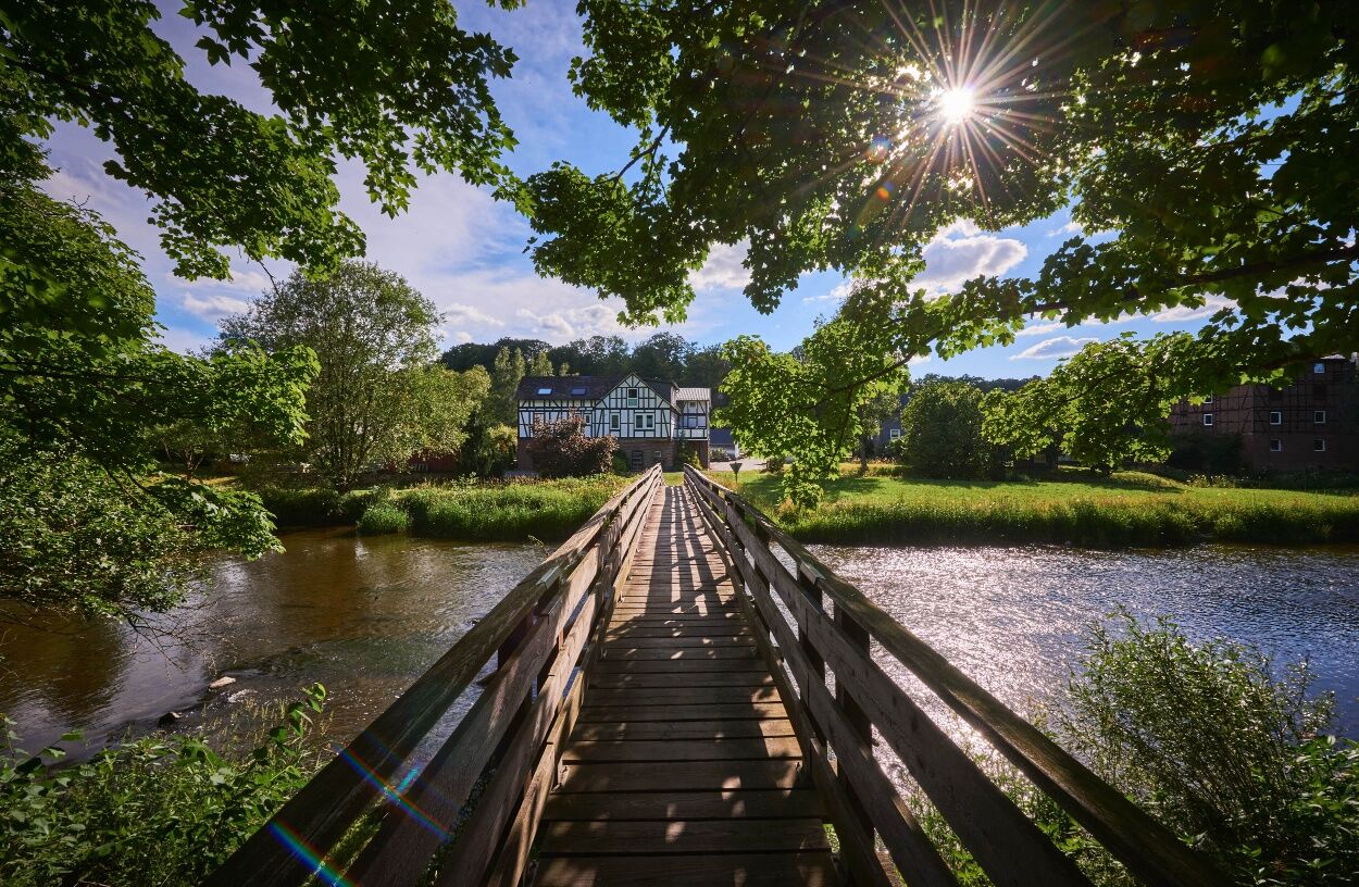
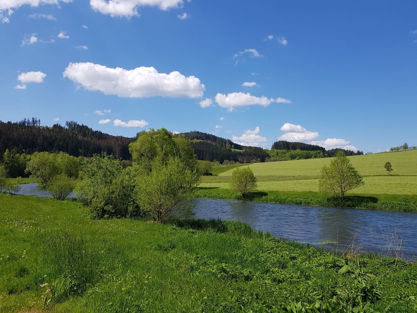
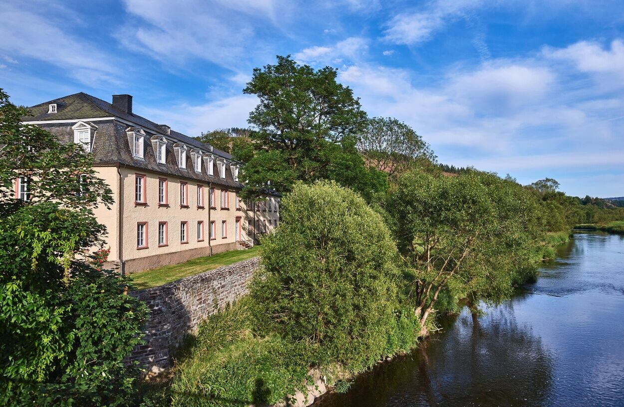
The 20 kilometre long premium hiking route runs through the varied landscape along the Eder river around Arfeld and Schwarzenau. On the approximately six hour tour, you can explore the eight bends of the...
The 20 kilometre long premium hiking route runs through the varied landscape along the Eder river around Arfeld and Schwarzenau. On the approximately six hour tour, you can explore the eight bends of the Eder river at a sprightly pace.
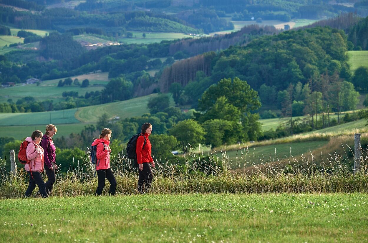
The trail goes up and down through the hilly landscape. You will be rewarded along the way with wonderful panoramic views on the heights and adventurous, winding nature trails in the valleys.
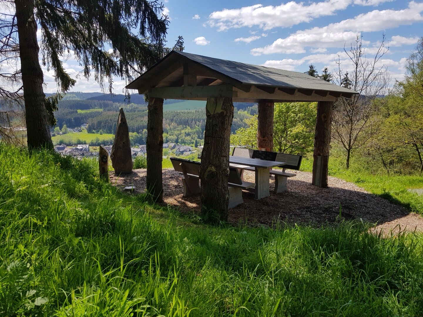
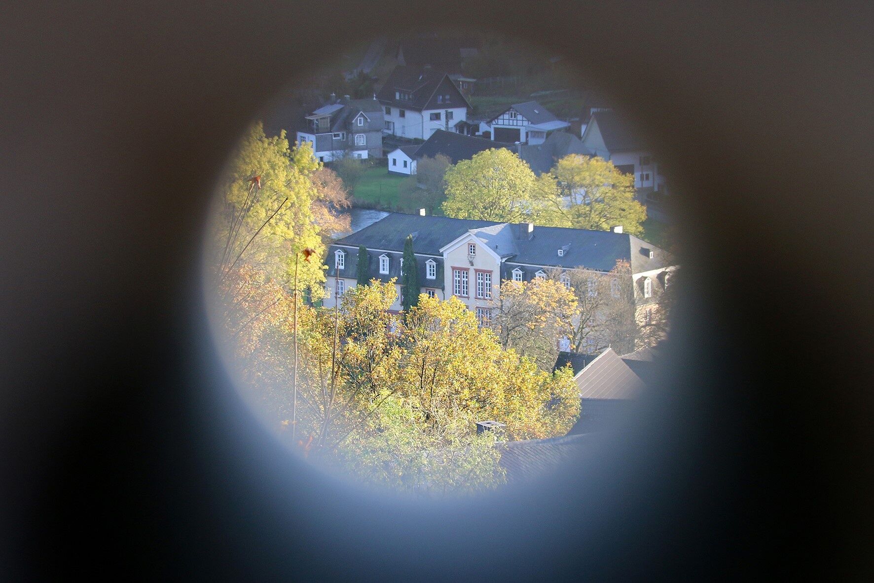
The viewing platforms set special accents; these provide good sightlines over the section of the trail that is already behind you and the section to come.
The signs showing stylised waves run in both directions along the Via Adrina, which incidentally was awarded the title of third most beautiful hiking trail in Germany in 2009. By taking a well marked shortcut, it is also possible to divide the circular tour into two stages of twelve kilometres each.
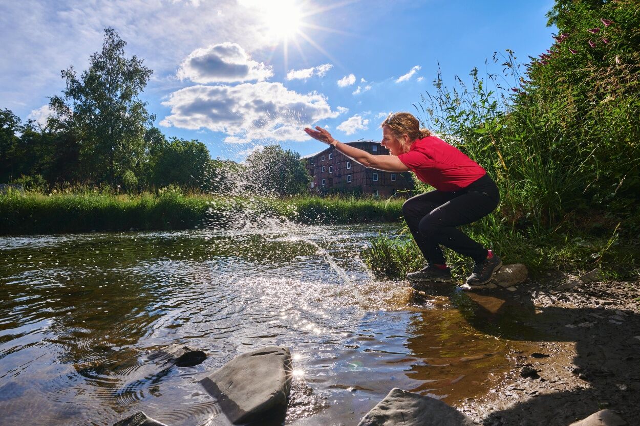
Enjoy the tranquillity along the rambling route and breathe in deeply.
Hiking map WaldReich Wittgenstein, 1: 25,000, Zweckverband Region Wittgenstein, 2nd edition 2008, ISBN 3-00-010140-3, 9,50 €
The circular tour demands a certain level of fitness and surefootedness in places; sturdy shoes are recommended.
From Bad Berleburg to Dotzlar via the L553 or L718. From there, you go to Arfeld over the Eder bridge. Turn off to the left. The car park is on the left.
Schwarzenau: Alexander-Mack-Museum.
Arfeld: Schmiedemuseum (forge museum).

Oblíbené prohlídky v okolí
-
5.0
Rothaarsteig
střednídálková pěší trasa 152 km -
5.0
Von Schanze über den Rothaarsteig nach Jagdhaus (ÖPNV-Tour)
středníTuristika 14.3 km -
Lahnwanderweg stage 03 Bad Laasphe – Biedenkopf
středníTuristika 17.6 km -
4.0
Wittgensteiner Schieferpfad (Wittgenstein slate trail) - An exciting Adventure
heavyTuristika 13.7 km -
Lahnwanderweg stage 02 Feudingen – Bad Laasphe
středníTuristika 16.8 km -
Lahn cycle path 1st stage upstream Biedenkopf - Feudingen/Lahn source
heavyJízda na kole 30.7 km -
Wisent-Pfad - Rothaarsteig-Spur - Tierisches Wandervergnügen
heavyTuristika 13.2 km -
ROTHAARSTEIG TRAIL “Ilsepfad” (“Ilse path”)
středníTuristika 16.0 km -
Rothaarsteig von Winterberg nach Jagdhaus
heavyTuristika 29.0 km -
Waldarbeiter- und Försterpfad in Latrop
světloTematická stezka 4.21 km

Pěší turistika a stopování


Nenechte si ujít nabídky a inspiraci pro vaši příští dovolenou
Vaše e-mailová adresa byl přidán do poštovního seznamu.