


Rothaarsteig
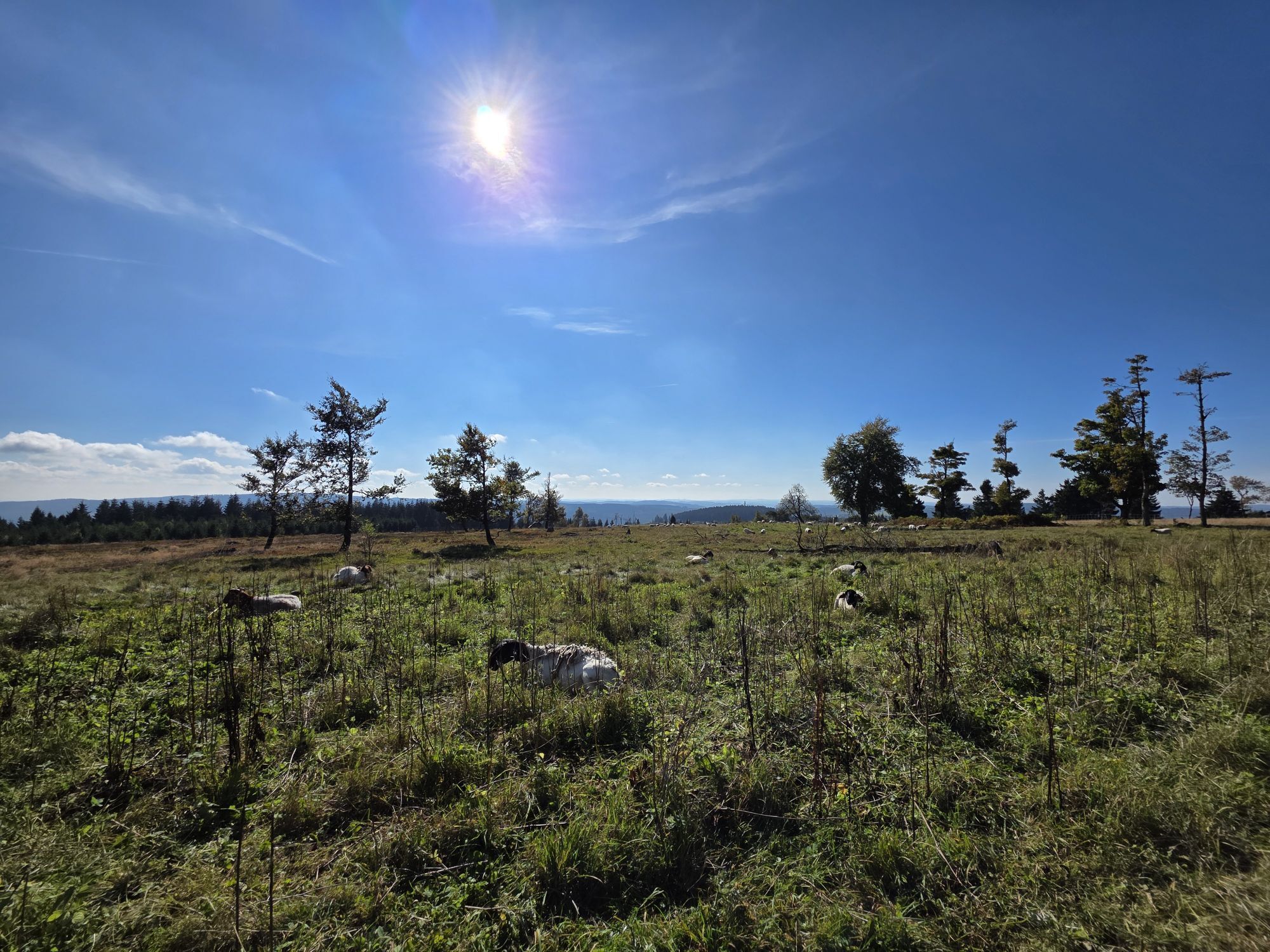
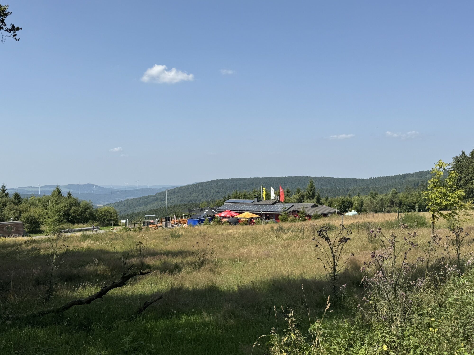
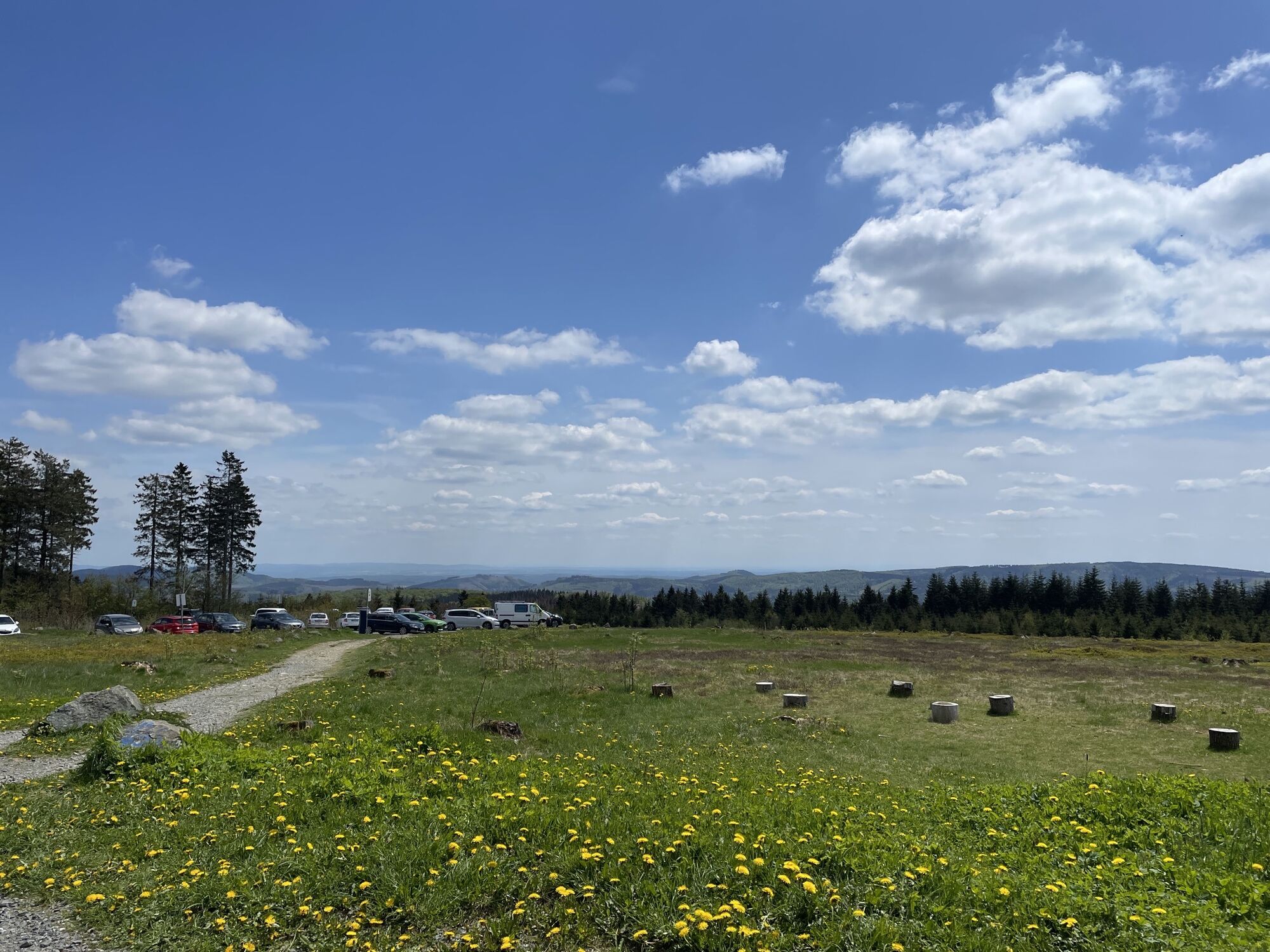
Fotografie našich uživatelů
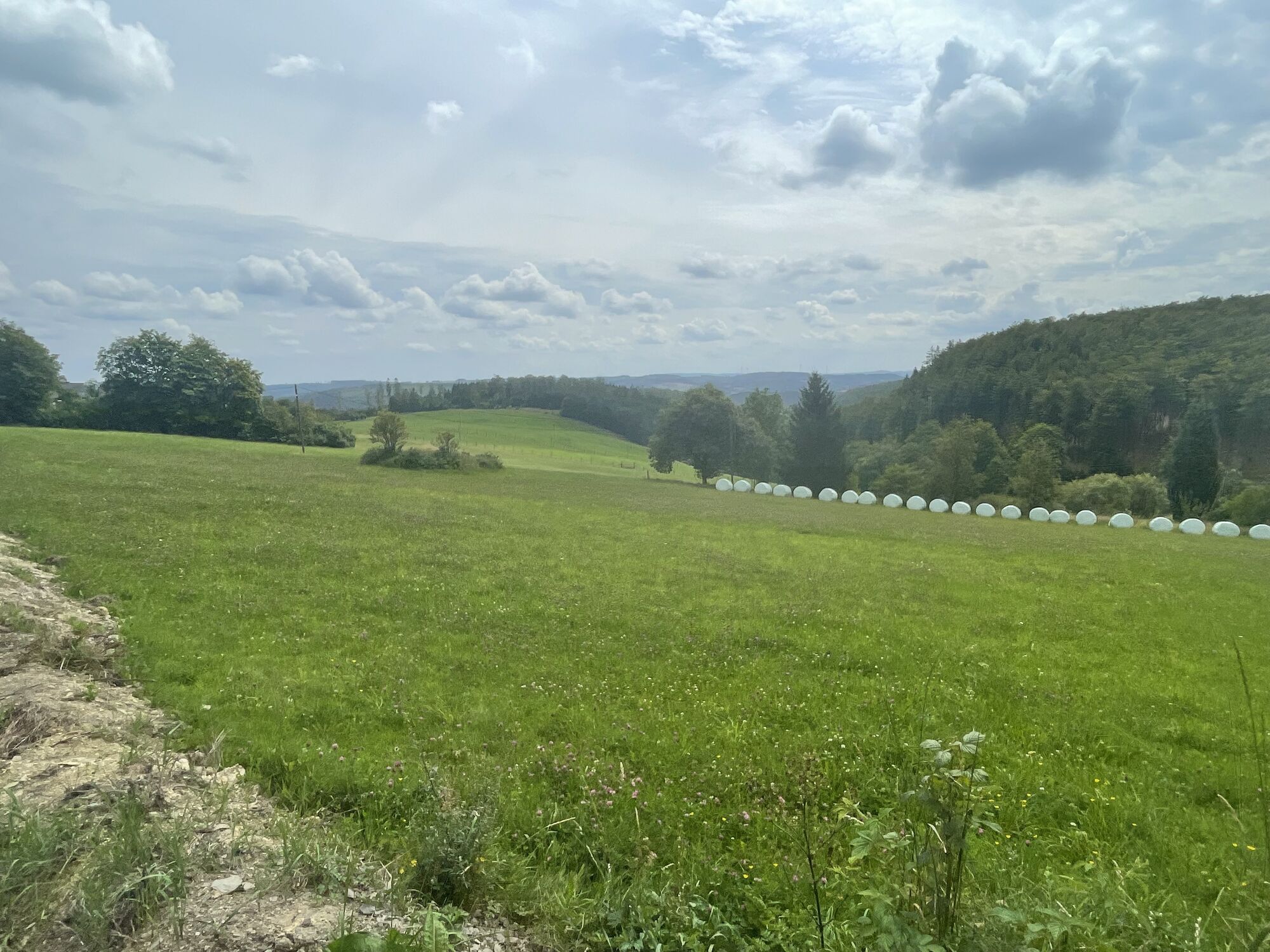
 © René ReichertVytvořeno dne 01.04.2026
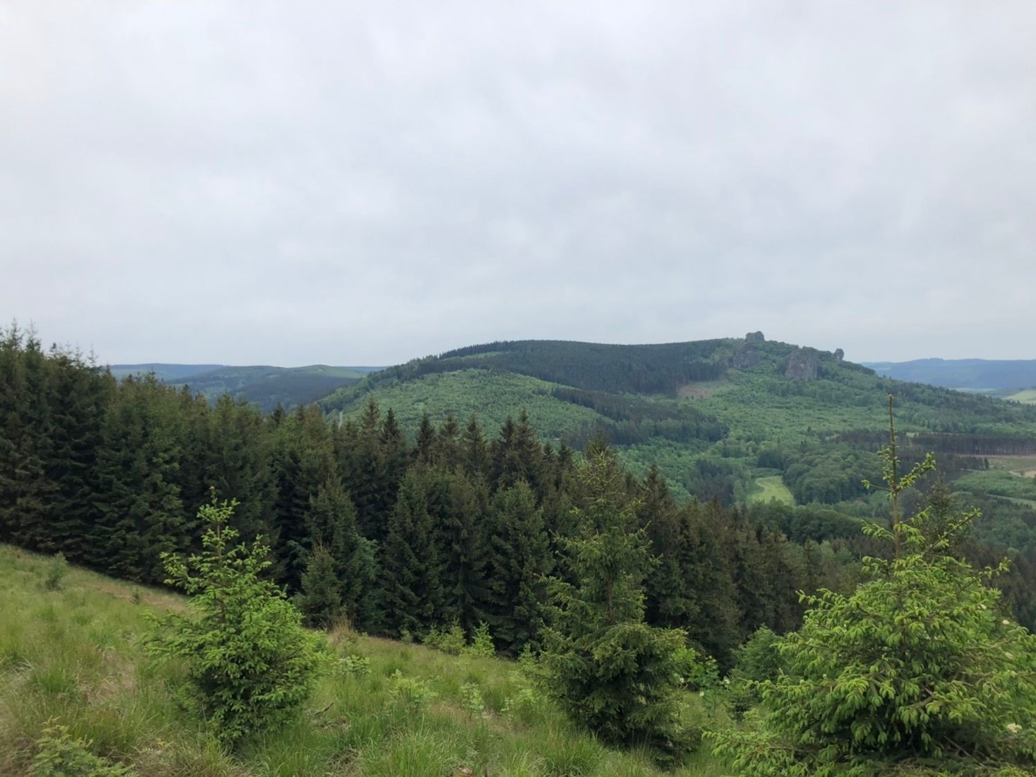
 © Gabriele WagenerVytvořeno dne 15.02.2026
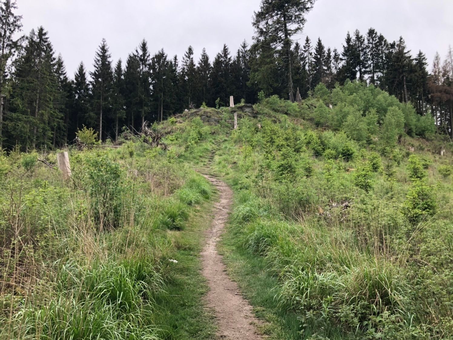
 © Volker WagenerVytvořeno dne 15.02.2026
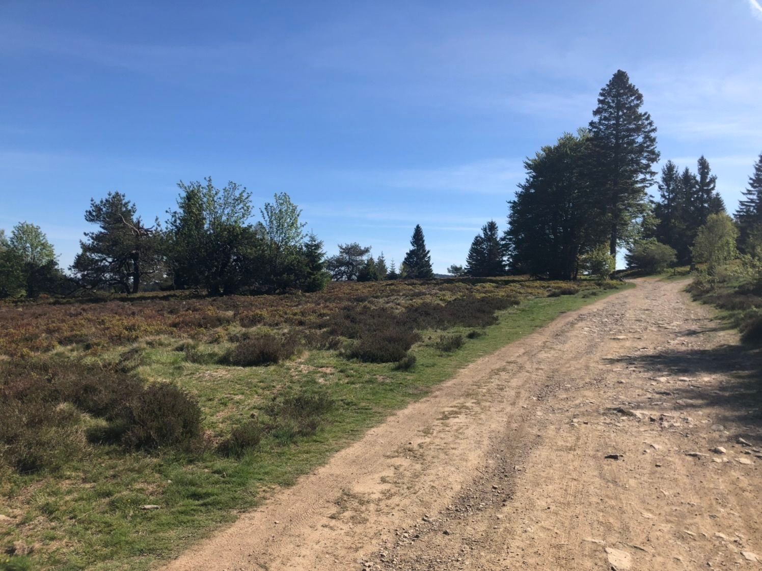
 © Jonas HorkVytvořeno dne 03.01.2026
 © der heilige geistVytvořeno dne 25.12.2025
 © der heilige geistVytvořeno dne 25.12.2025
 © der heilige geistVytvořeno dne 25.12.2025
 © Hans Werner BallVytvořeno dne 15.11.2025
 © Hans Werner BallVytvořeno dne 15.11.2025
 © Hans Werner BallVytvořeno dne 15.11.2025
 © Volker WagenerVytvořeno dne 11.10.2025
 © Volker WagenerVytvořeno dne 11.10.2025
 © Volker WagenerVytvořeno dne 11.10.2025
 © MildeVytvořeno dne 19.09.2025
 © MildeVytvořeno dne 19.09.2025
 © Pepijn ter BalsVytvořeno dne 24.07.2025
 © Pepijn ter BalsVytvořeno dne 24.07.2025
 © Pepijn ter BalsVytvořeno dne 24.07.2025
 © Pepijn ter BalsVytvořeno dne 24.07.2025
 © Pepijn ter BalsVytvořeno dne 24.07.2025
 © Pepijn ter BalsVytvořeno dne 24.07.2025
 © executeVytvořeno dne 19.07.2025
 © executeVytvořeno dne 19.07.2025
 © executeVytvořeno dne 19.07.2025
 © Matje DerksVytvořeno dne 24.06.2025
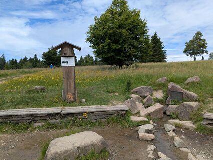 © Matje DerksVytvořeno dne 24.06.2025
 © MargaVytvořeno dne 28.04.2025
 © Michael GanswindVytvořeno dne 08.03.2025
 © Volker WagenerVytvořeno dne 22.02.2025
 © Leen DuytschaeversVytvořeno dne 07.08.2024
 © Leen DuytschaeversVytvořeno dne 07.08.2024
 © Christian SchulzVytvořeno dne 22.05.2020
 © Christian SchulzVytvořeno dne 22.05.2020
 © Christian SchulzVytvořeno dne 22.05.2020
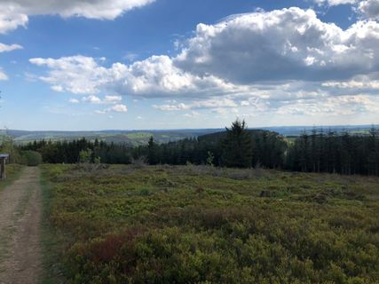 © Christian SchulzVytvořeno dne 21.05.2020
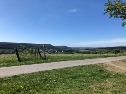 © Christian SchulzVytvořeno dne 21.05.2020
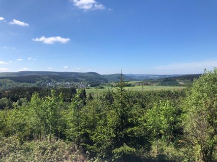 © Christian SchulzVytvořeno dne 21.05.2020
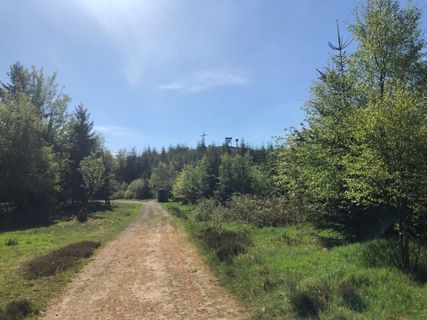 © Christian SchulzVytvořeno dne 21.05.2020
 © Christian SchulzVytvořeno dne 21.05.2020
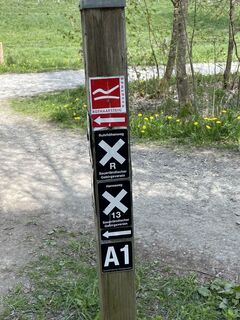
 © lotharkoernerVytvořeno dne 19.05.2023
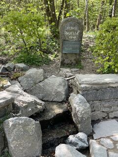 © lotharkoernerVytvořeno dne 19.05.2023
 © Markus WollnyVytvořeno dne 01.03.2026
 © Markus WollnyVytvořeno dne 15.02.2026
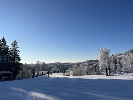 © Markus WollnyVytvořeno dne 15.02.2026
 © Patrick DuboisVytvořeno dne 01.10.2025
 © alpinfotoVytvořeno dne 13.08.2025
 © lotharkoernerVytvořeno dne 19.05.2023
 © lotharkoernerVytvořeno dne 19.05.2023


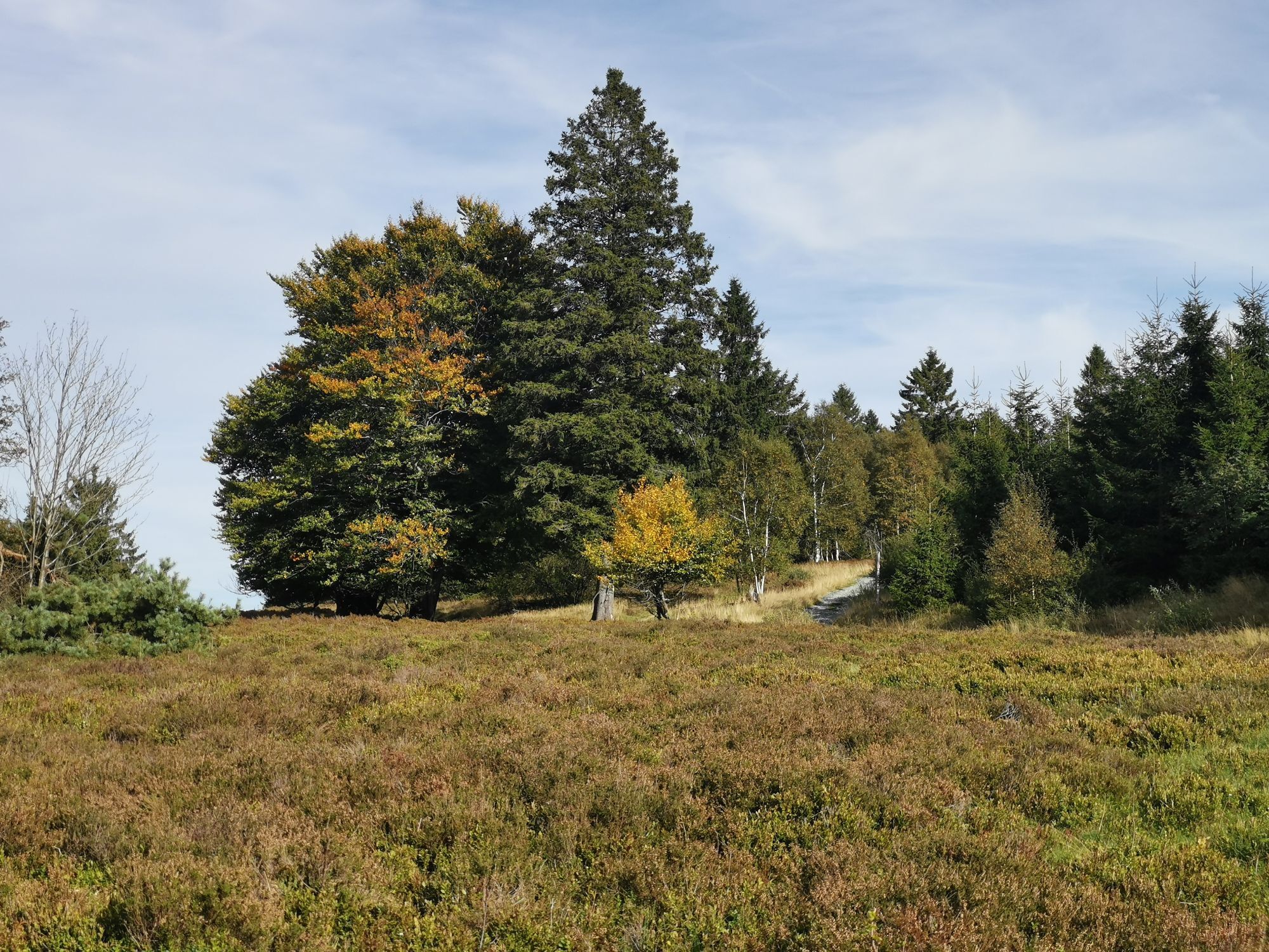
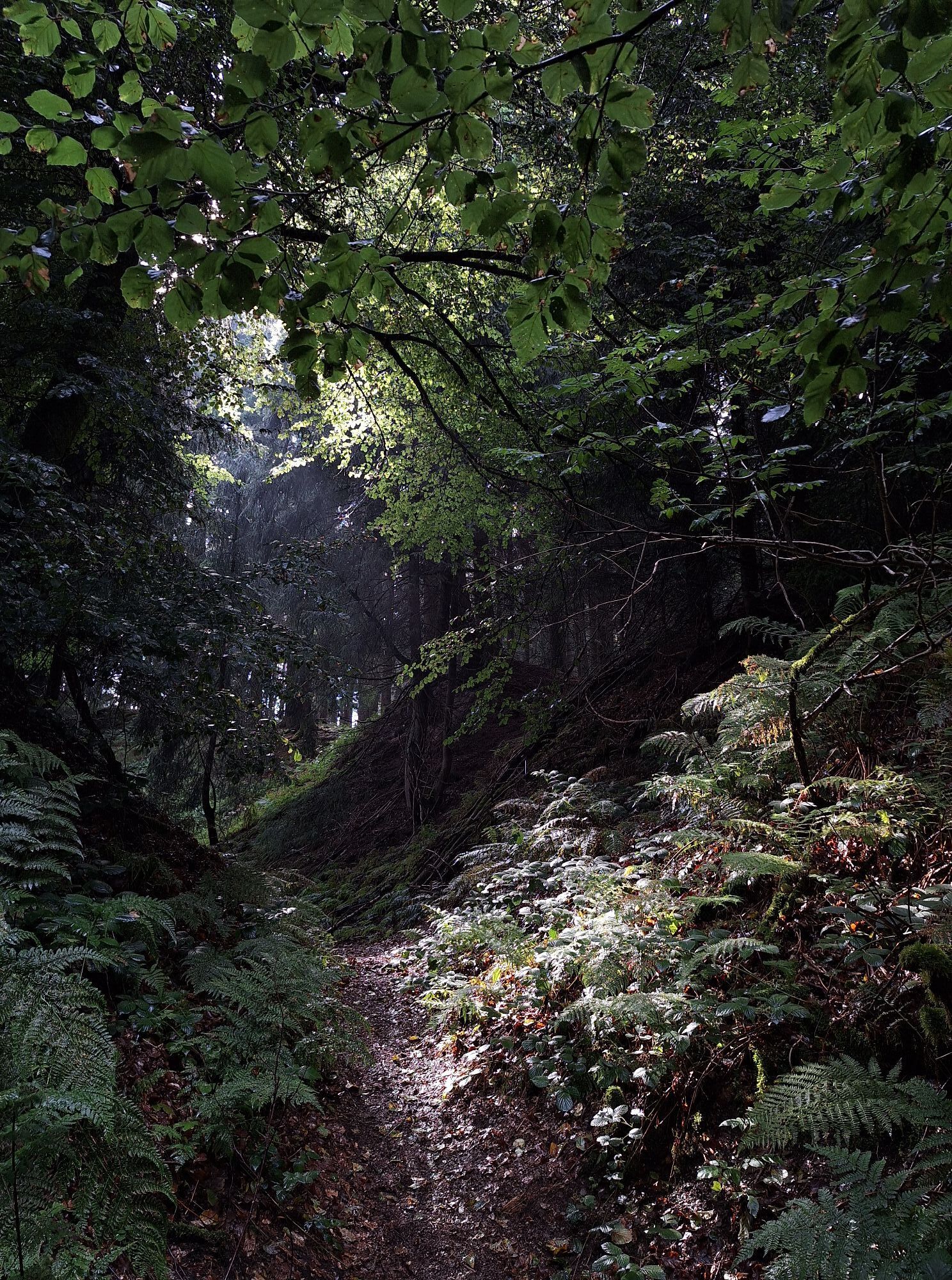
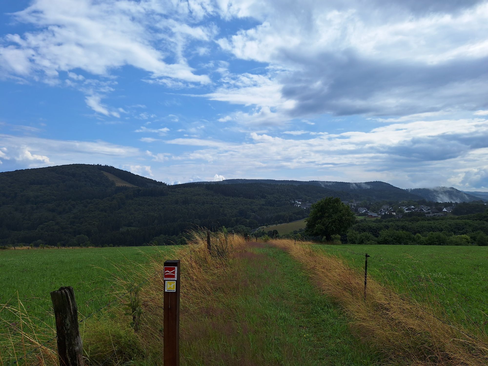
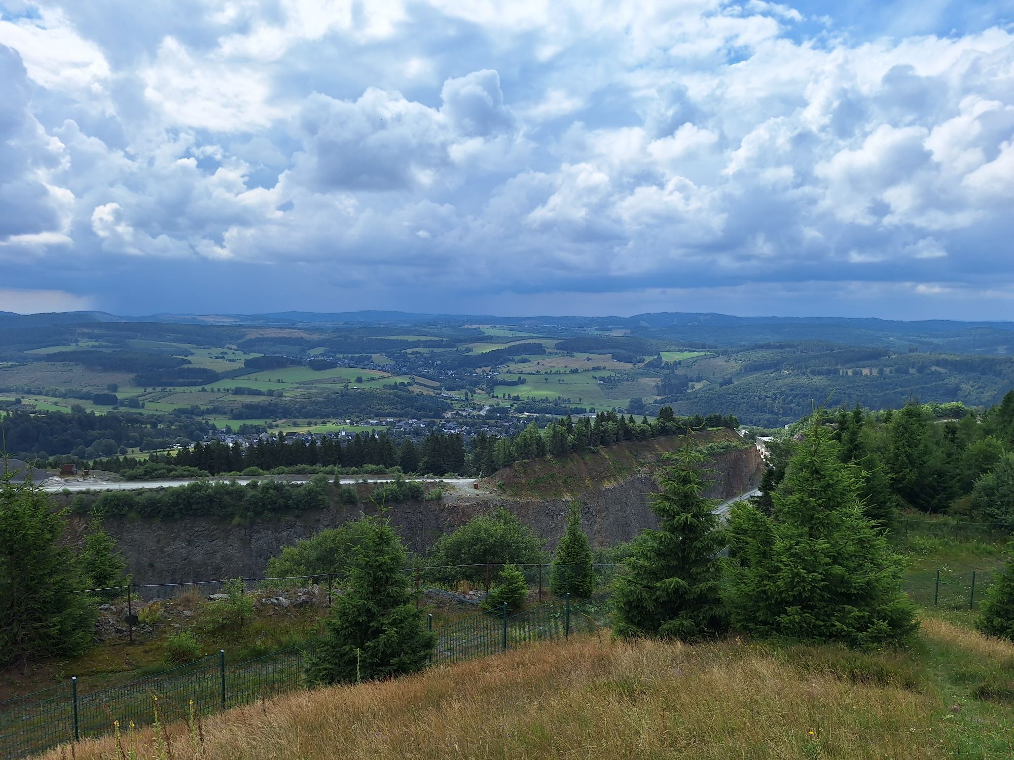
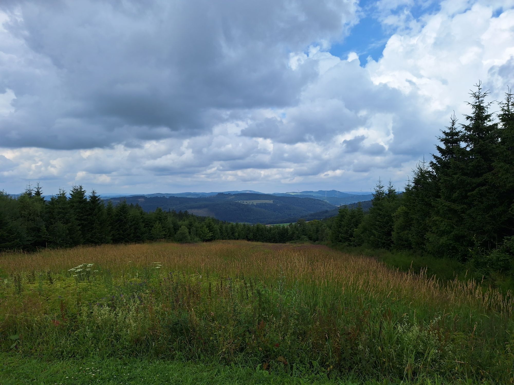
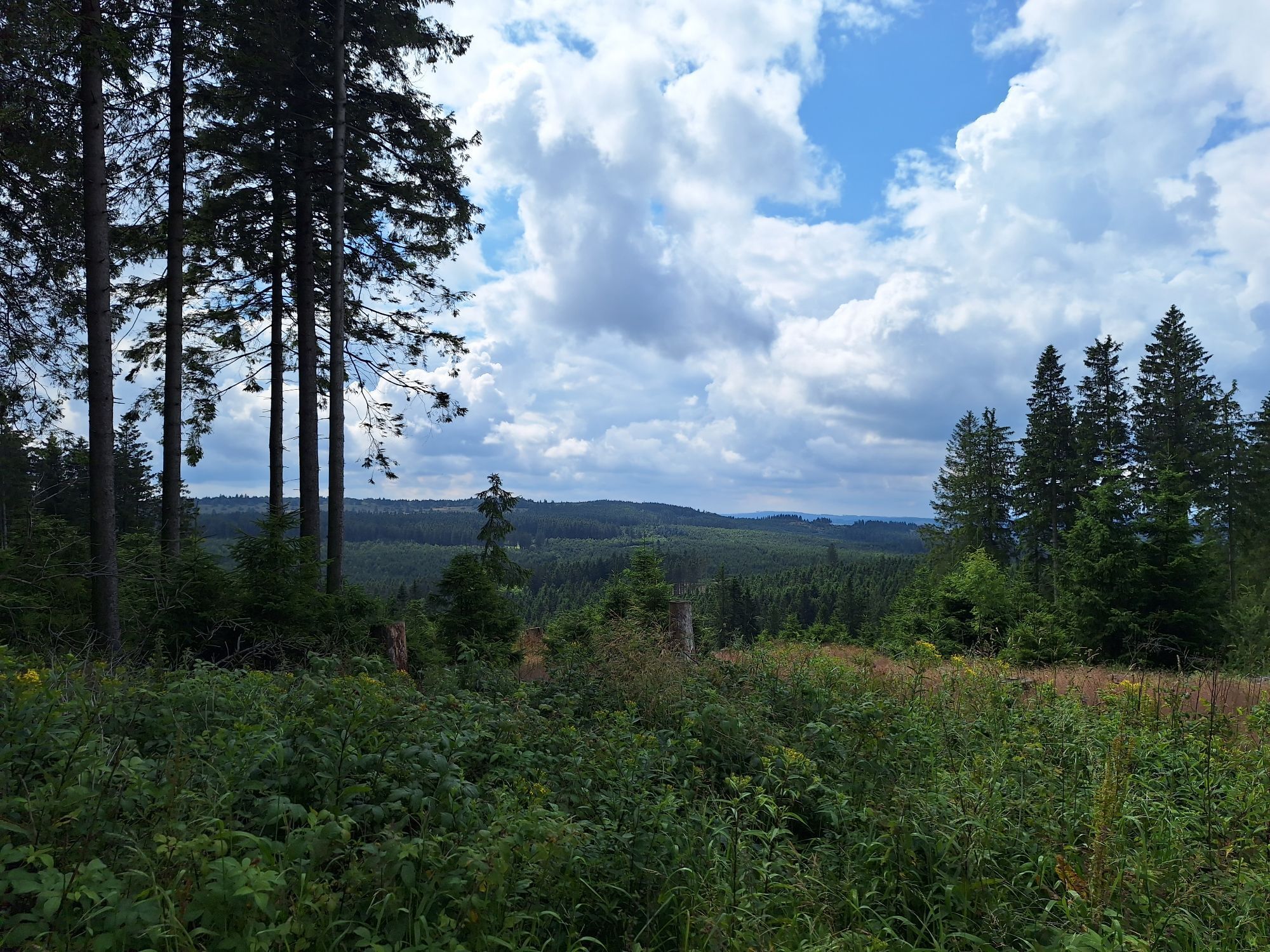
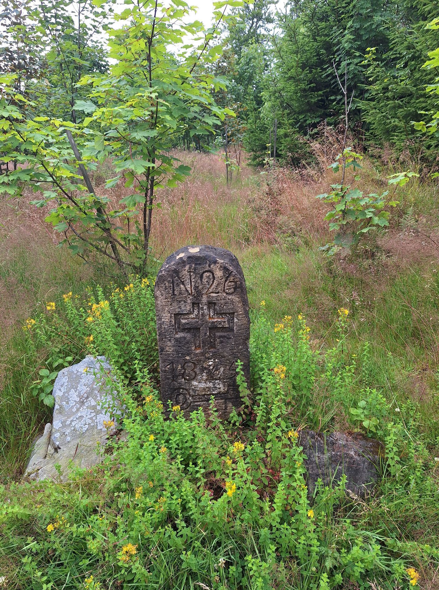
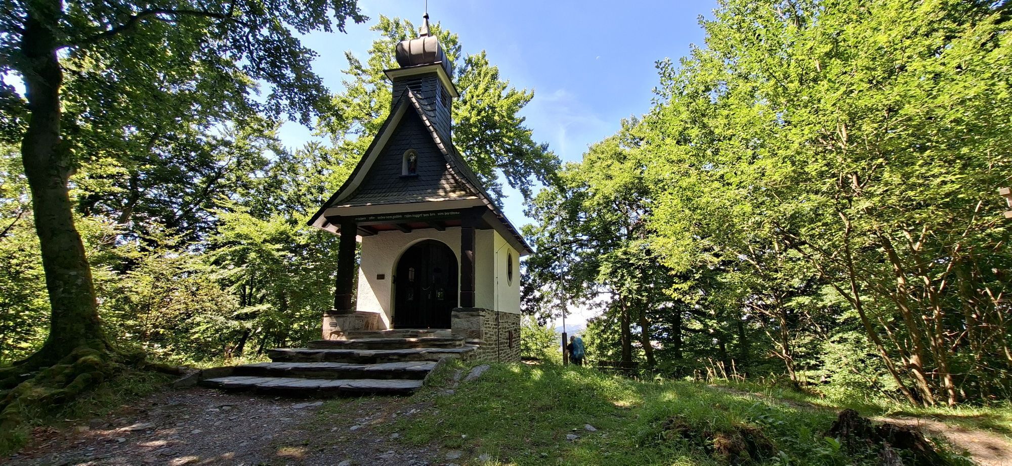

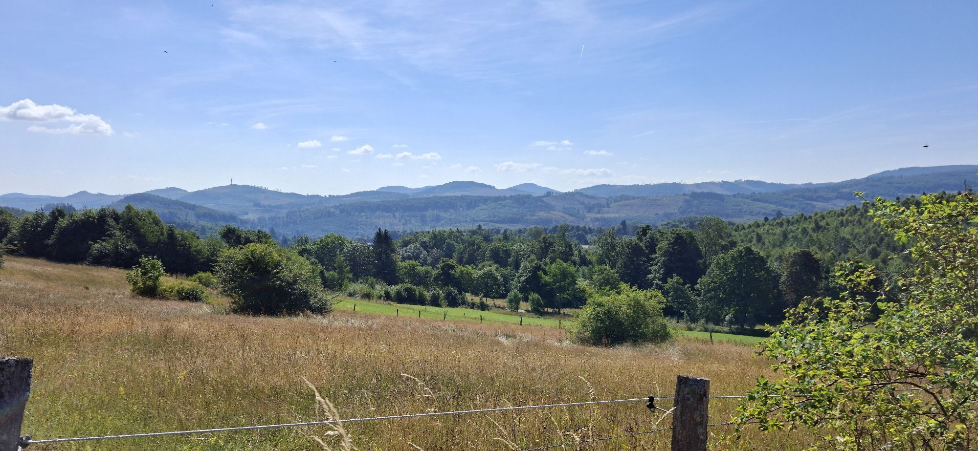


The Rothaarsteig runs north-south over the ridge of the Rothaar mountains. The starting point is Brilon on the northeastern edge of the Sauerland. Over the highest mountain in North Rhine-Westphalia –...
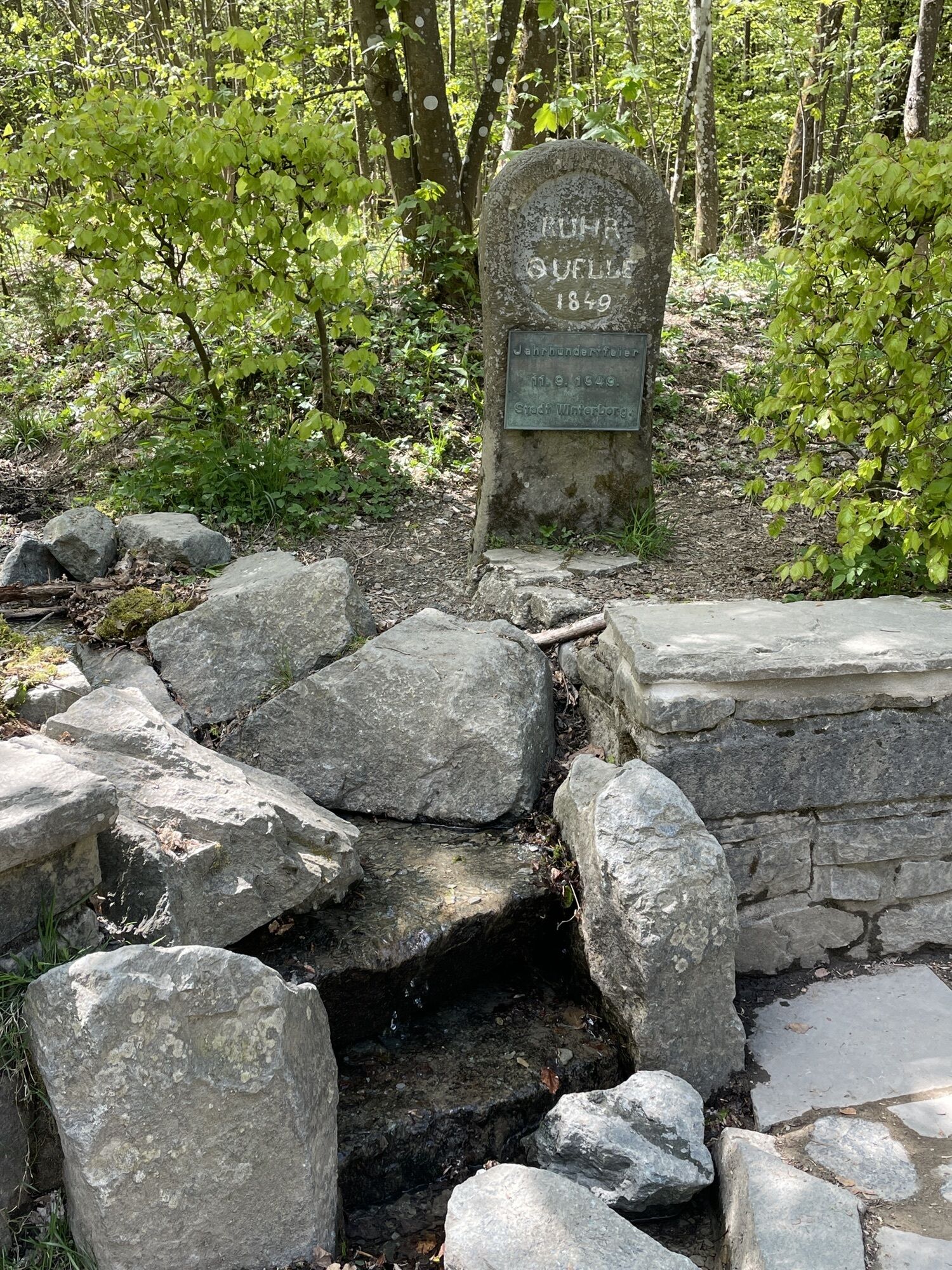
The Rothaarsteig runs north-south over the ridge of the Rothaar mountains. The starting point is Brilon on the northeastern edge of the Sauerland. Over the highest mountain in North Rhine-Westphalia – the Langenberg (843m) – the Rothaarsteig passes by the source of the Ruhr to Winterberg to the Kahler Asten (842m). Here in the source area of the Lenne, the second major river in the Sauerland, the Rothaarsteig turns west and runs south of Schmallenberg to the Rhein-Weser Tower. From the Rhein-Weser Tower it heads south again through the Rothaar foothills into the Hilchenbach valley and further into the source area of the Lahn, Sieg, and Eder above Netphen. Over the Haincher Höhe, the Rothaarsteig finally reaches its destination, the town of Dillenburg with the imposing Wilhelmsturm.
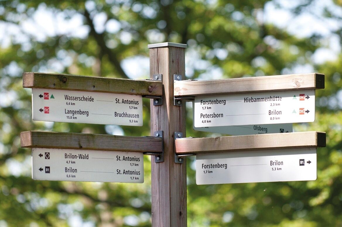
You can find stage descriptions and further tips for route planning at www.rothaarsteig.de.

Ano
In our small hiking shop at www.rothaarsteig.de/shop, you will also find a selection of Rothaarsteig items for preparing your tour or as souvenirs. We also gladly recommend the durable and quality outdoor equipment from our longtime partner, the outdoor outfitter Tatonka.
Hiking BackpackA suitable hiking backpack makes your tour on the Rothaarsteig twice as much fun! Hiking backpacks offer very comfortable carrying properties through a ventilated carrying system, which ensures that sweat can evaporate immediately. They can be secured with a belly or hip belt and thus sit firmly on your back with every movement. Additionally, they come with a practical holder for hiking poles and often also have a compartment with a hose outlet for a hydration bladder, ensuring hydration at all times.
Here you can find hiking backpacks from the outdoor outfitter Tatonka in various sizes for day hikes and multi-day tours with different ventilated back systems.
To enjoy your hiking tour on the Rothaarsteig without restrictions, a first aid kit should definitely be in your backpack. After all, nothing is more annoying than having a blister on your foot or small injuries that cannot be treated properly right away. The first aid kits from Tatonka are equipped with all important materials for initial treatment of injuries and also contain an “outdoor cheat sheet” with a brief and clear guide for the correct behavior in emergencies in the outdoors. Here you can find the first aid kits from Tatonka!
On some stages, especially between the Lahn source and Dillenburg, there are unfortunately no places to eat along the way. Be sure to pack food and drinks here, especially in summer adequate hydration is important.
The stainless steel bottles, stainless steel insulated jugs, and stainless steel lunch boxes from the German outdoor outfitter Tatonka are not only practical but also unbreakable and durable.
Hiking trails mostly run away from towns and settlements, and everyone who hikes has surely wondered what would happen if there was an emergency now. How can I be found here? Where exactly am I? Can emergency services reach me?
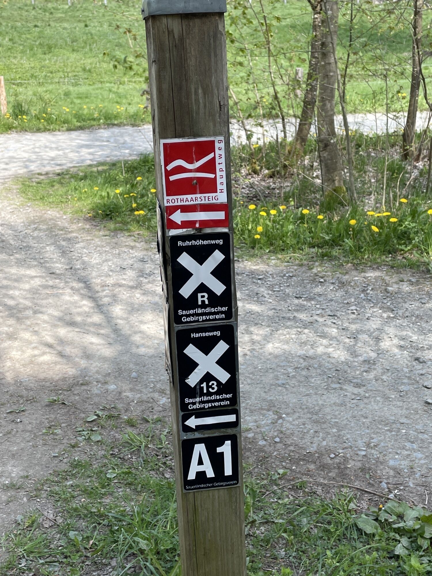
In an emergency, things need to move quickly! Therefore, the Rothaarsteig is continuously equipped with so-called rescue signs. On the green and white plates attached to the posts of the signposts there is a number that you must provide when making an emergency call. This way, rescue workers know exactly where you are, and valuable time can be saved.
Note on increased forest fire risk
Please note that due to dryness there is currently a heightened forest fire risk! Please observe the following rules:
Observe the legal smoking ban in the forest – it applies in spring, summer, and autumn, specifically from March 1st to October 31st.Observe the ban on open fires in the forest and within 100 meters of the forest.Take glass out of the forest – the burning glass effect can cause forest fires.If it is (too) late:
Extinguish small fires if you can do so safely. Check the spot carefully if needed.Report fires via "112".Leave the danger zone by the shortest route.The forest thanks you!
Brilon
You can reach Brilon from the north and east via the A 44 and from the south and west via the A 445/A 46.
Dillenburg
You can reach Dillenburg via the A 45, exit 25 Dillenburg.
In addition, several other places on the Rothaarsteig are well connected to bus and train networks.
If you come by car, we recommend using public transport at the start of your tour and positioning your car at the endpoint. That way, you do not have to conform to the bus/train timetable during the hike.
You can park your car free of charge in Brilon at the parking lot on "Krummestraße" or at the district office (Am Rothaarsteig 1). Enter "Marktplatz" in your navigation system.
Dillenburg:
Free parking spaces can be found at the stadium in Dillenburg. Enter "Am Sportzentrum" on your GPS.
Also, in many towns along the Rothaarsteig, there are usually free hiking parking lots where you can park your car.
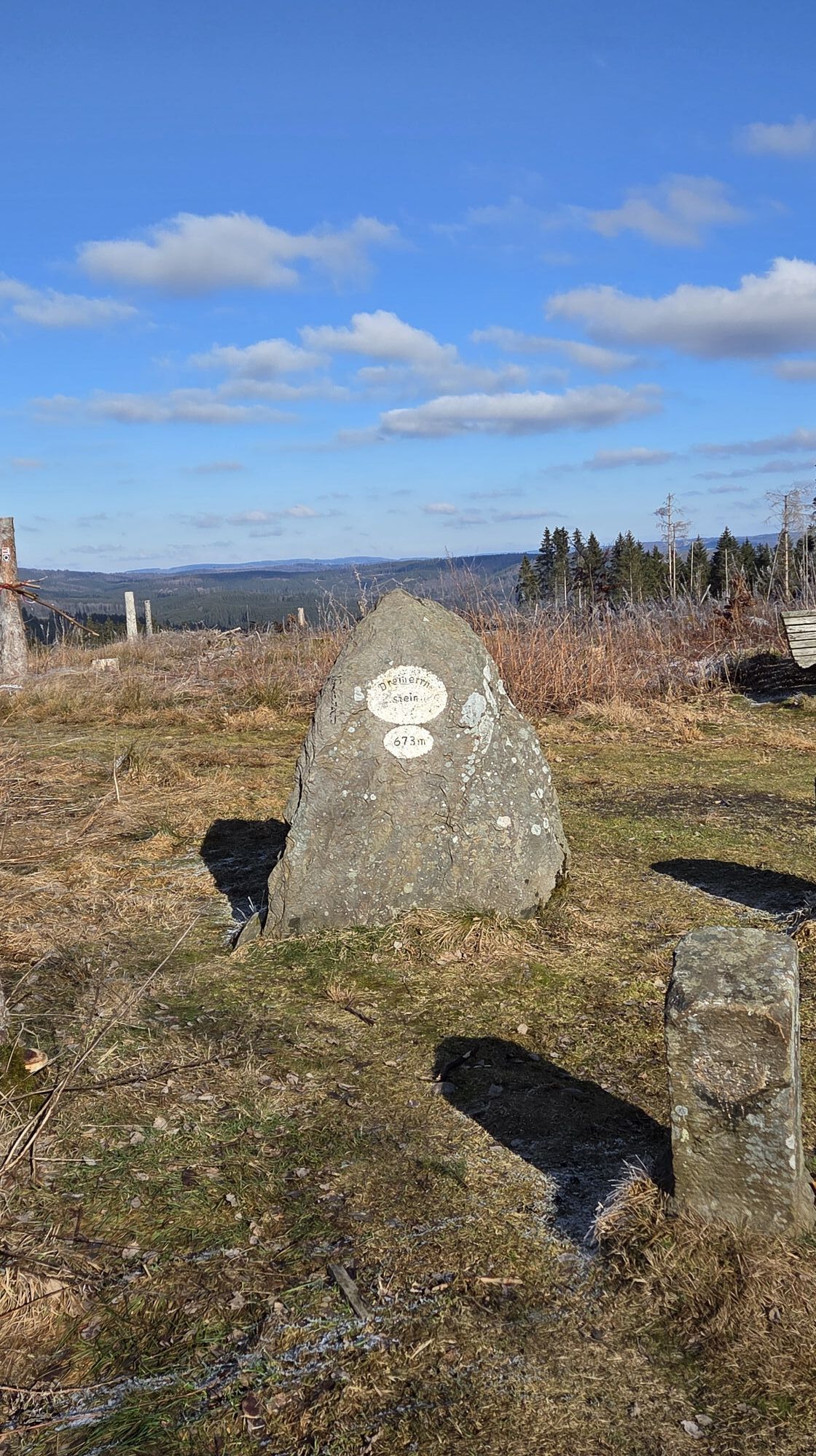
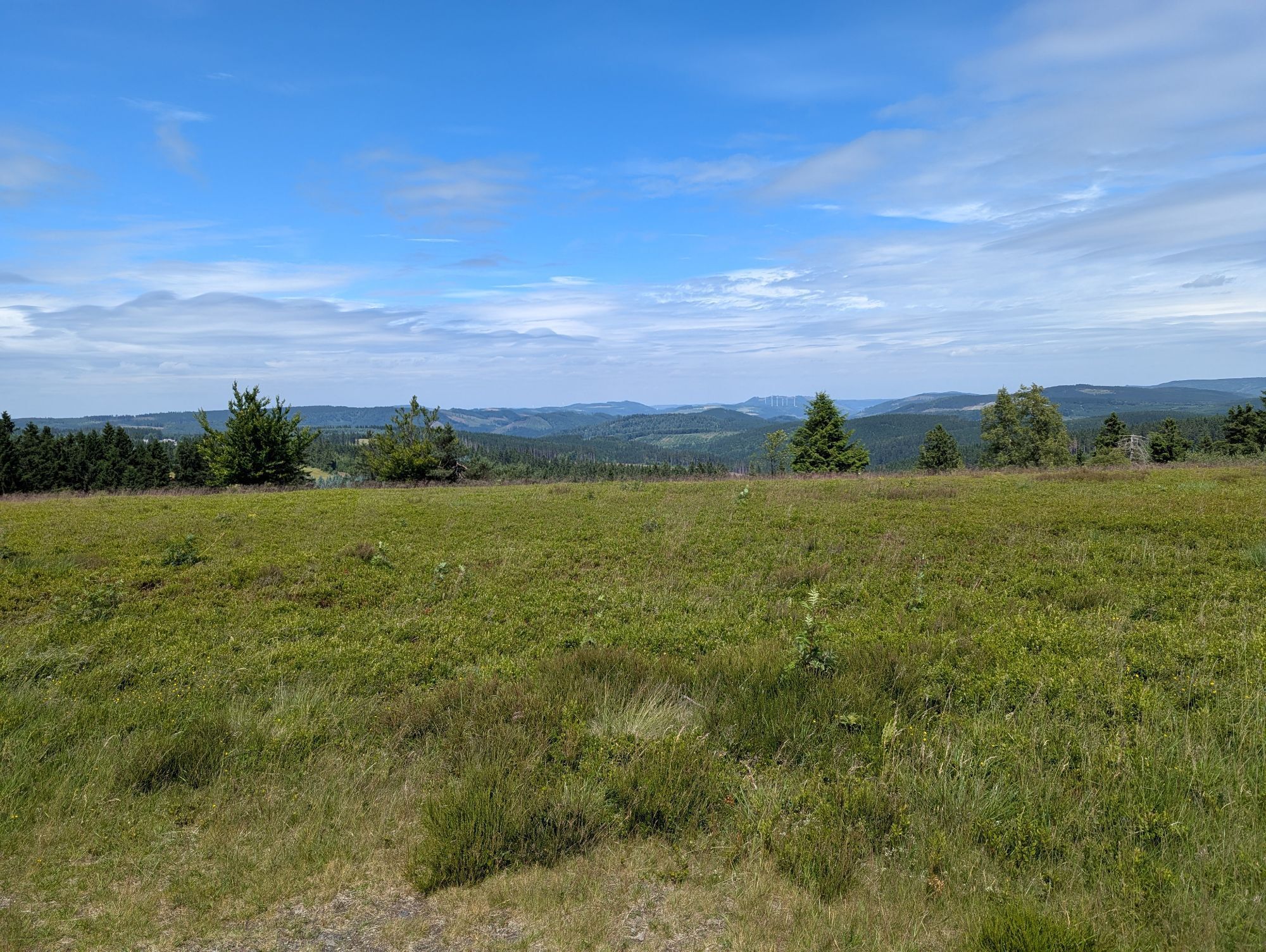
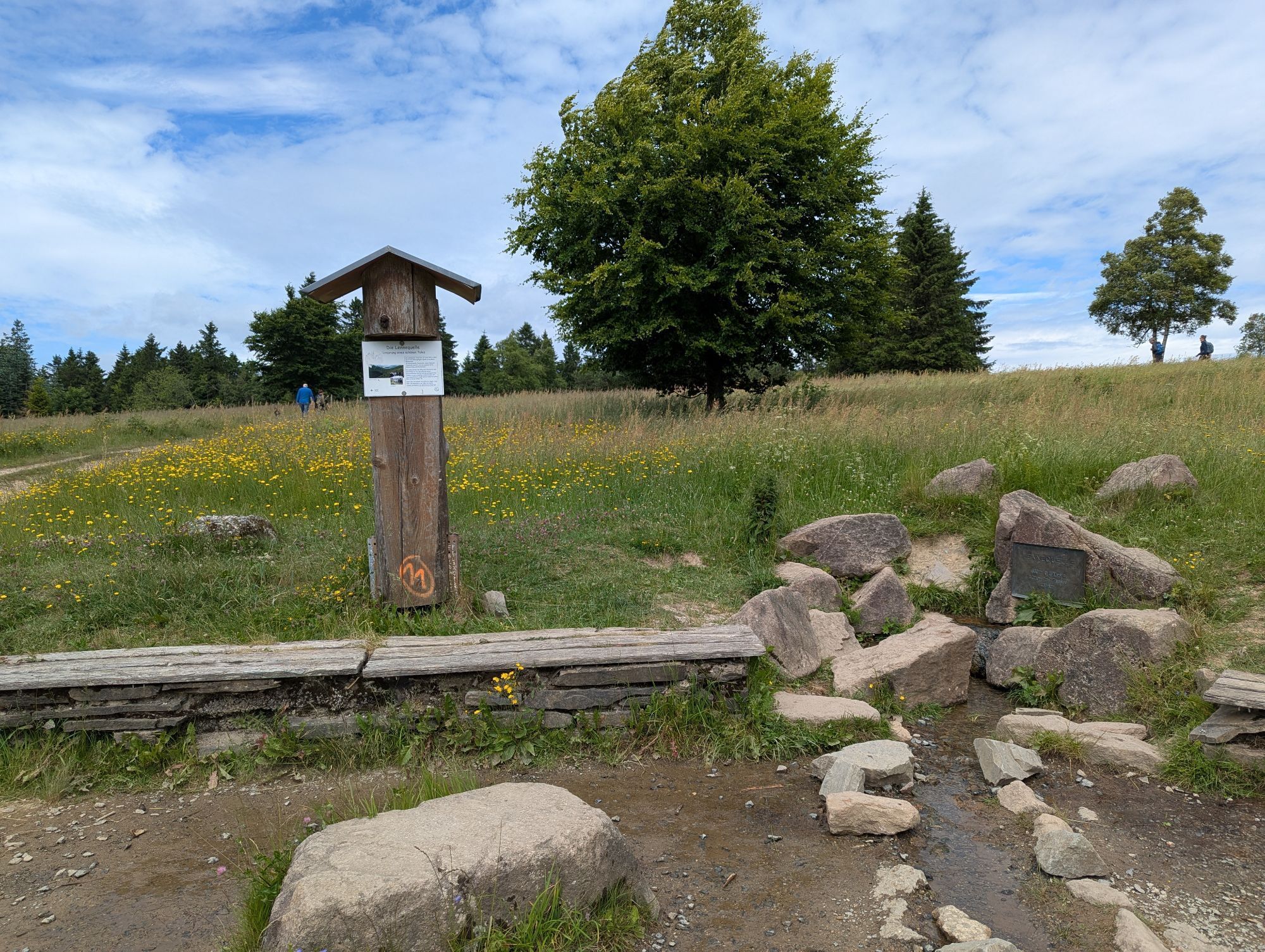
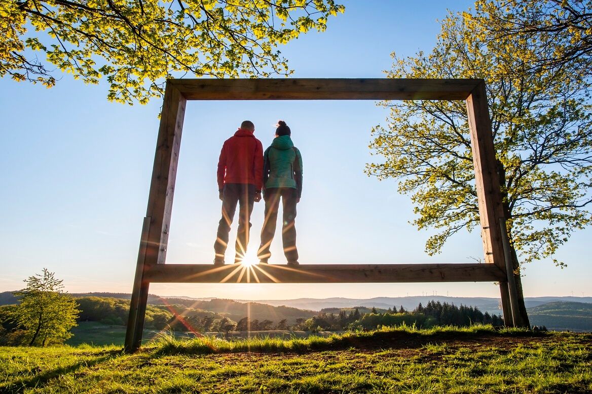
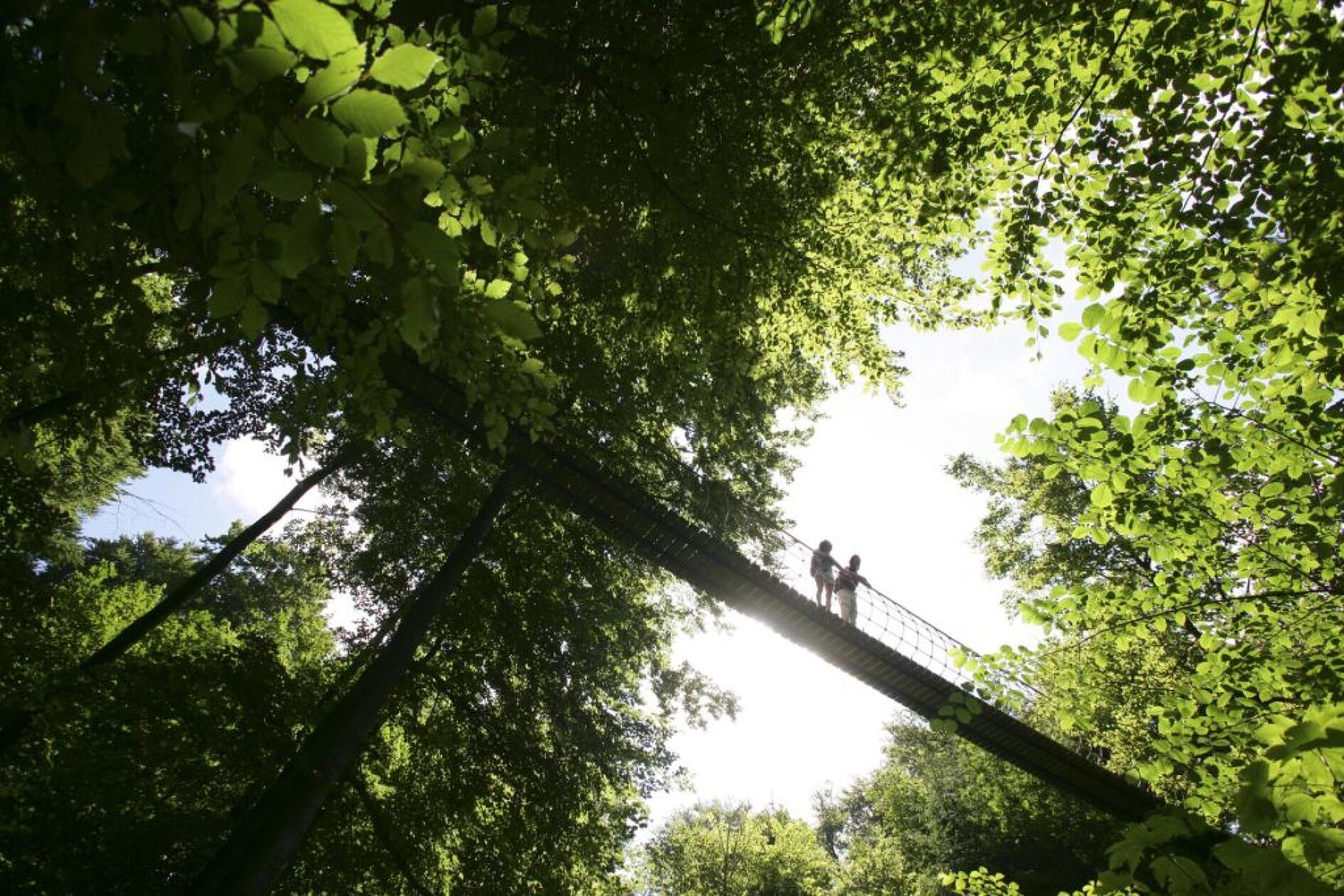
a total of 11 springs, including the sources of the Ruhr, Sieg, Dill, and Lahn riversthe numerous viewpoints and experience pointsthe Bruchhauser Steinethe suspension bridge at Kühhudethe forest sculpture trailthe Kyrill Path in Schanzethe natural monument "Lukaseiche"the towns of Brilon, Winterberg, and Dillenburgand much more
Webové kamery z prohlídky
Kapellenhang / Altastenberg
Westfalenhang / Altastenberg
Altastenberg / Haus Astenblick
Funpark/Osthang
Funpark Tele
Sahnehang
Olsberg
Talstation Ettelsberg-Seilbahn
Talstation Ettelsberg-Seilbahn
Talstation Ettelsberg-Seilbahn
Talstation Ettelsberg-Seilbahn
Talstation Ettelsberg-Seilbahn
Brembergkopf
Kurhotel Hochsauerland 2010
Kurhotel Hochsauerland 2010
Kurhotel Hochsauerland 2010
Kurhotel Hochsauerland 2010
Brembergkopf
Brembergkopf
Brembergkopf
Brembergkopf
Erndtebrück - Haflinger Hütte
Altastenberg
Postwiese Neuastenberg
Postwiese Neuastenberg
Postwiese Neuastenberg
Postwiese Neuastenberg
Postwiese Neuastenberg
Postwiese Neuastenberg
Sternrodt Skilift
Schmallenberger Höhenlift Bergstation
Hochheideturm - Ettelsberg
Hesselbacher Gletscher - Talstation
Hesselbacher Gletscher - Skihütte
Skikarussell Altastenberg
Skikarussell Altastenberg
Skikarussell Altastenberg
Skikarussell Altastenberg
Skikarussell Altastenberg
Oblíbené prohlídky v okolí
- 5.0
Von Schanze über den Rothaarsteig nach Jagdhaus (ÖPNV-Tour)
středníTuristika 14.3 km Lahnwanderweg stage 02 Feudingen – Bad Laasphe
středníTuristika 16.8 km- 5.0
Rundweg um Fleckenberg (F2)
středníTuristika 13.9 km Golddorf Route Westfeld / Rothaarsteig-Spur "Kahler Asten-Steig"
heavyTuristika 16.0 kmGolddorf-Route Fleckenberg
středníTuristika 10.8 kmWanderung zum Wilzenberg
středníTuristika 13.4 kmGolddorf-Route Latrop
světloTuristika 5.54 kmDurchs Hexental nach Oberkirchen
heavyTuristika 17.6 kmGolddorf-Route Grafschaft
středníTuristika 11.7 kmVon Schanze über Jagdhaus nach Fleckenberg
heavyTuristika 19.5 km

Pěší turistika a stopování


Nenechte si ujít nabídky a inspiraci pro vaši příští dovolenou
Vaše e-mailová adresa byl přidán do poštovního seznamu.