







Quality tour: Krenkeltal and Goldener Zapfen - ridge walk between the Rhine and Weser rivers
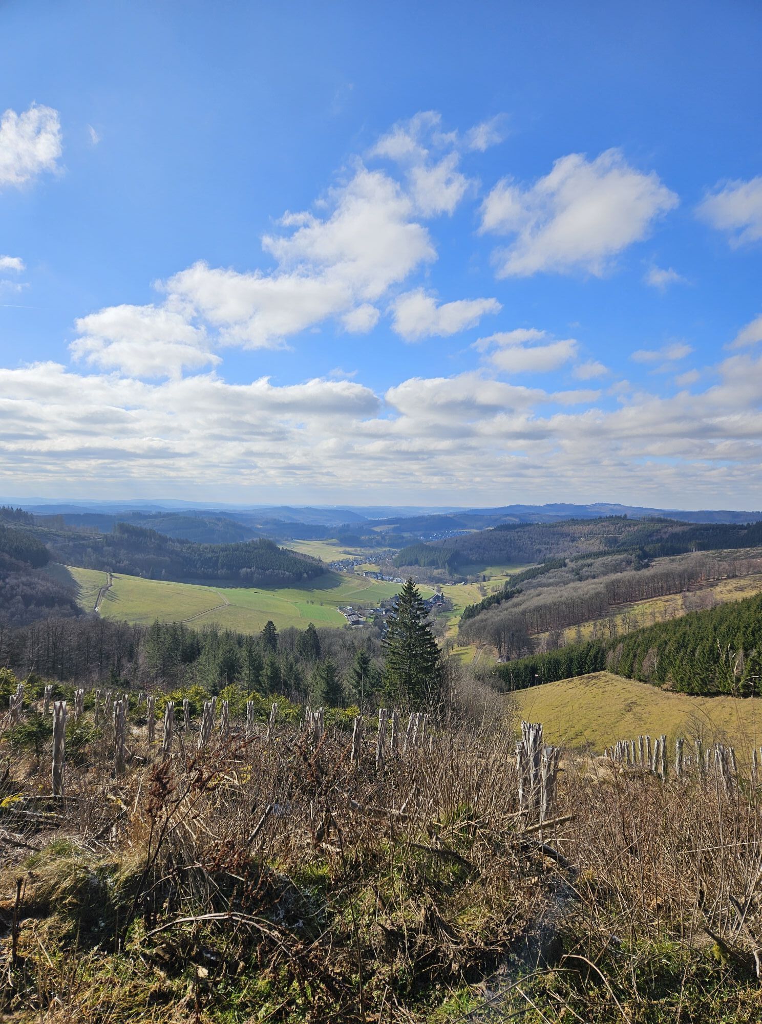
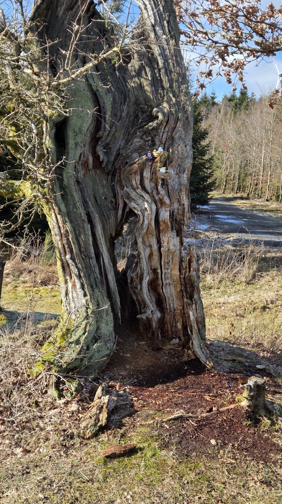
The circular trail is a quality trail and part of the "Sauerland Trails". With a high proportion of nature trails, the tour offers a varied hiking experience including many adventure points.
History meets...
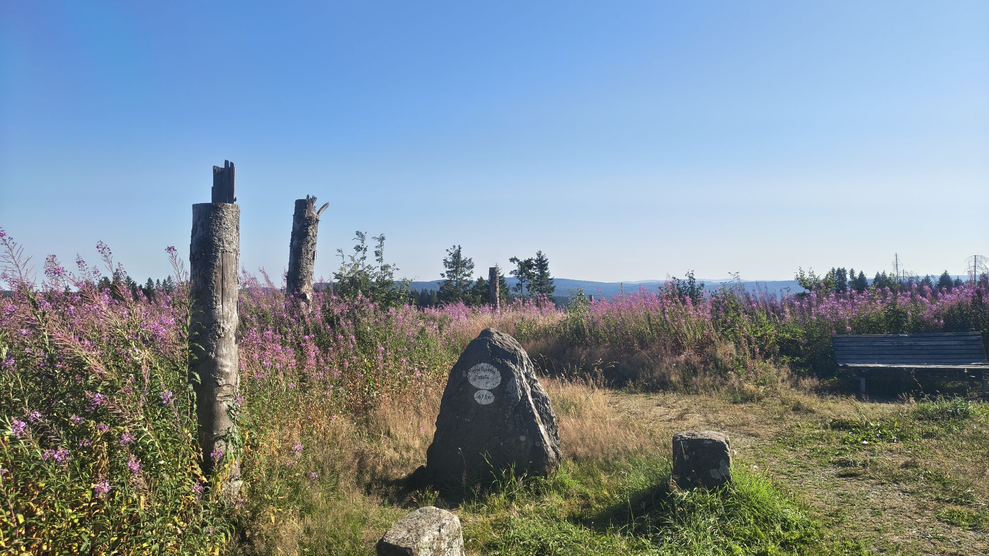
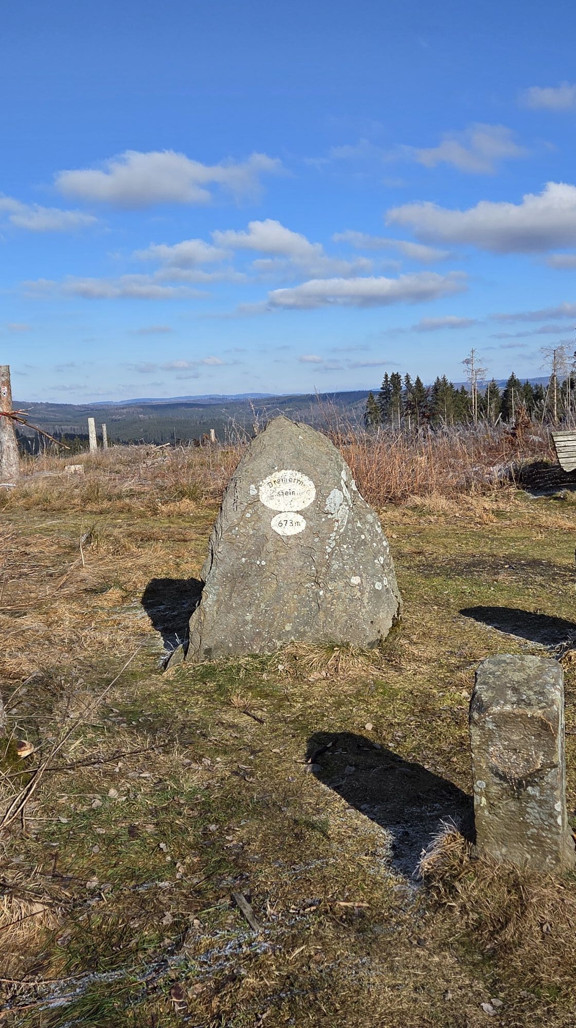
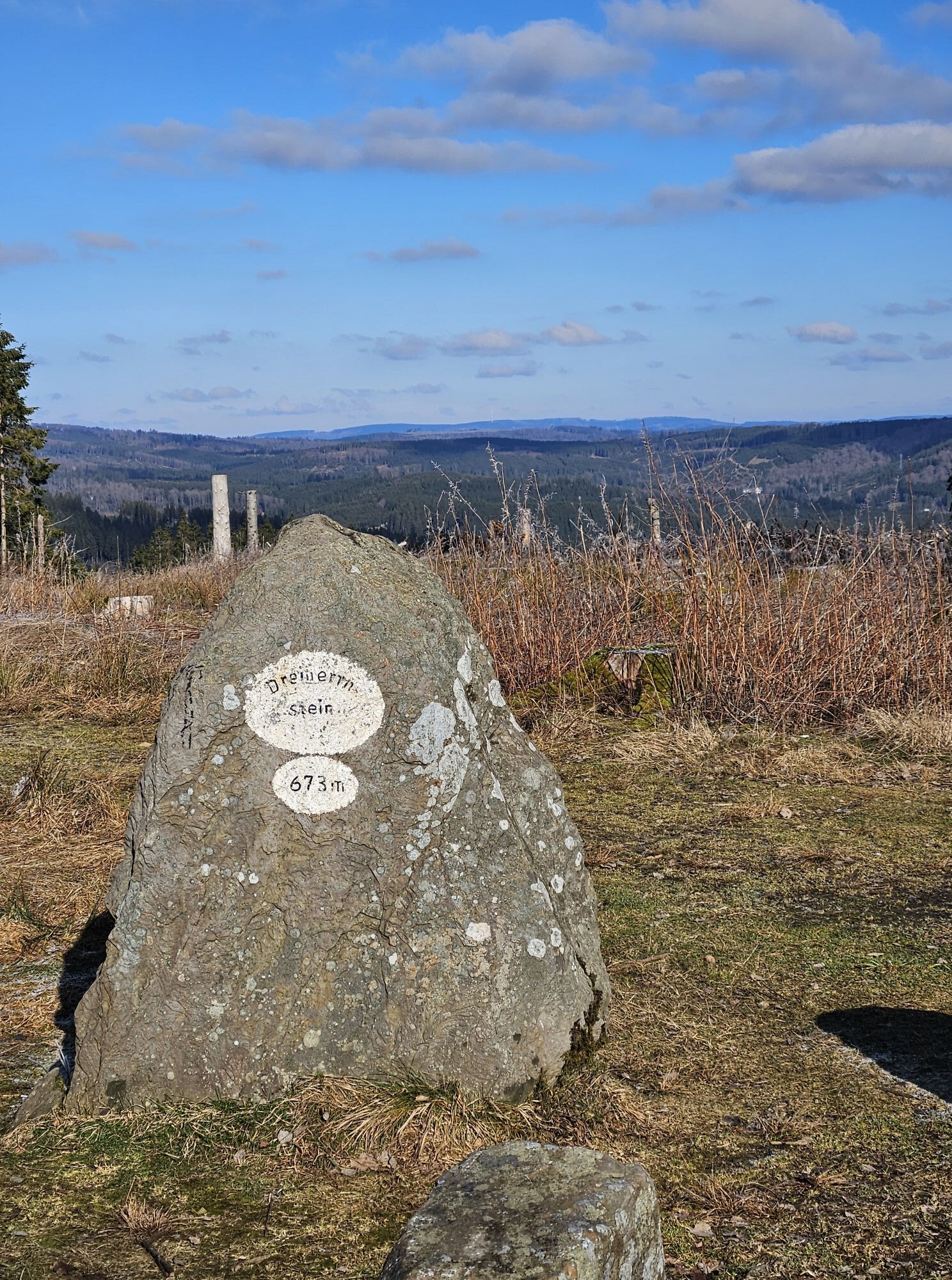
History meets excitement at the striking "Dreiherrnstein": a **free podcast** tells the moving story of the border disputes between Cologne's archbishop, the Count of Nassau-Siegen and the Prince of Wittgenstein. The audio track not only offers acoustic enjoyment, but also brings the region and its turbulent past closer in a tangible way.

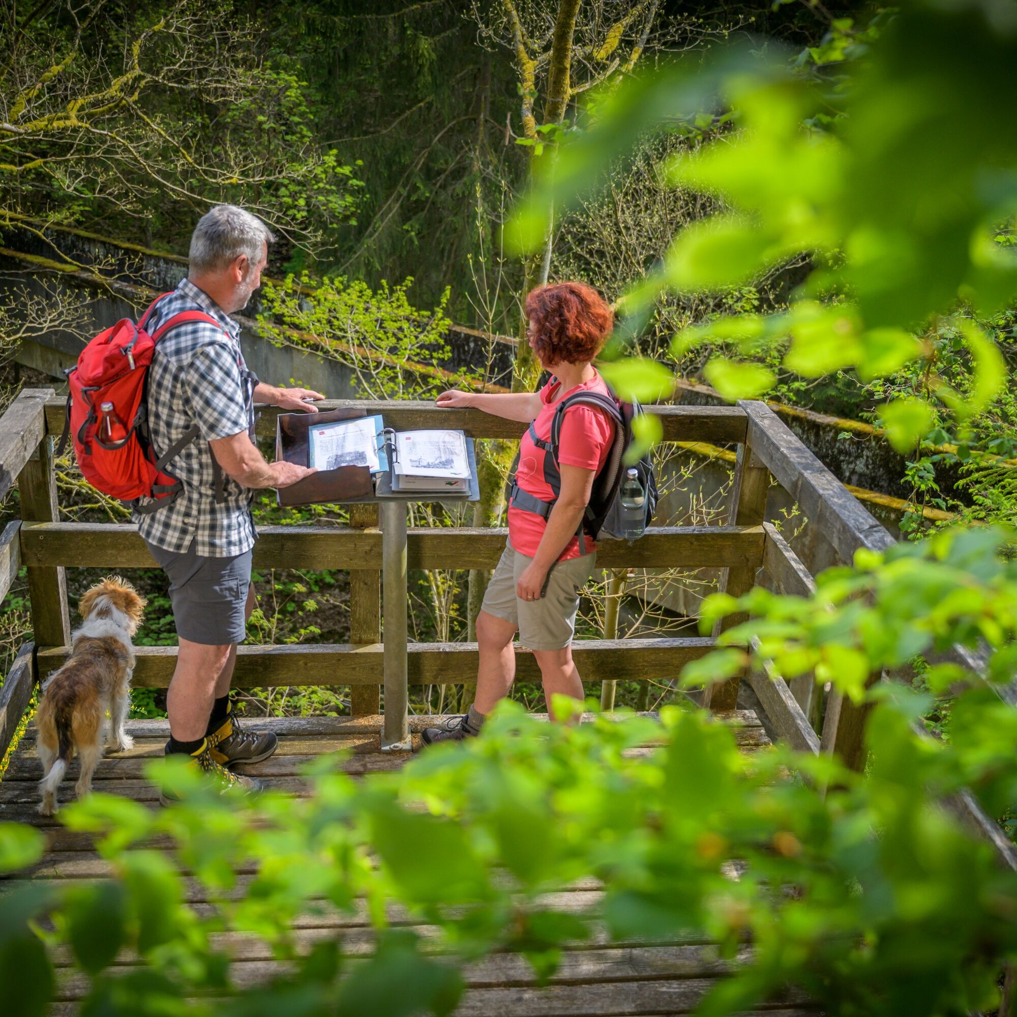

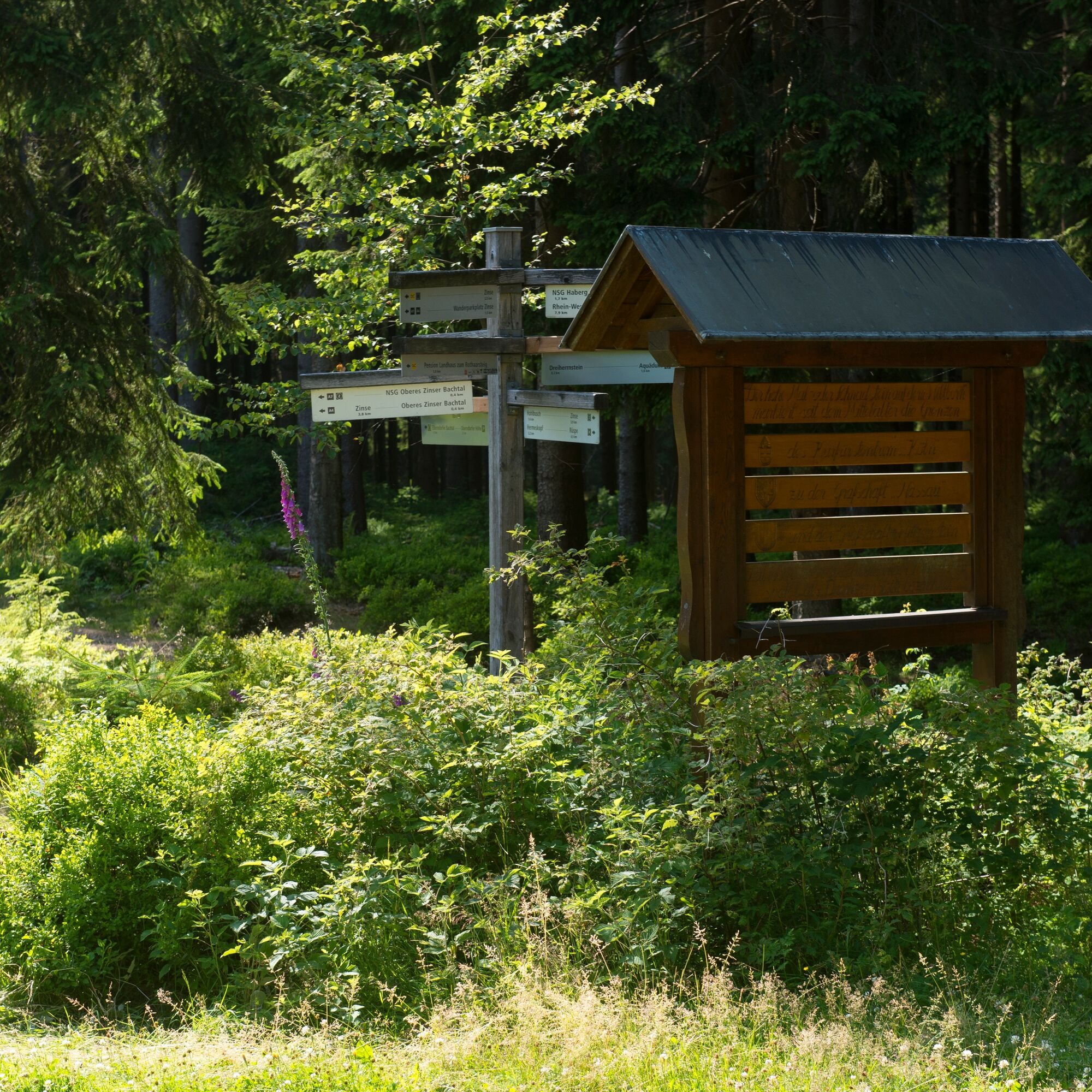

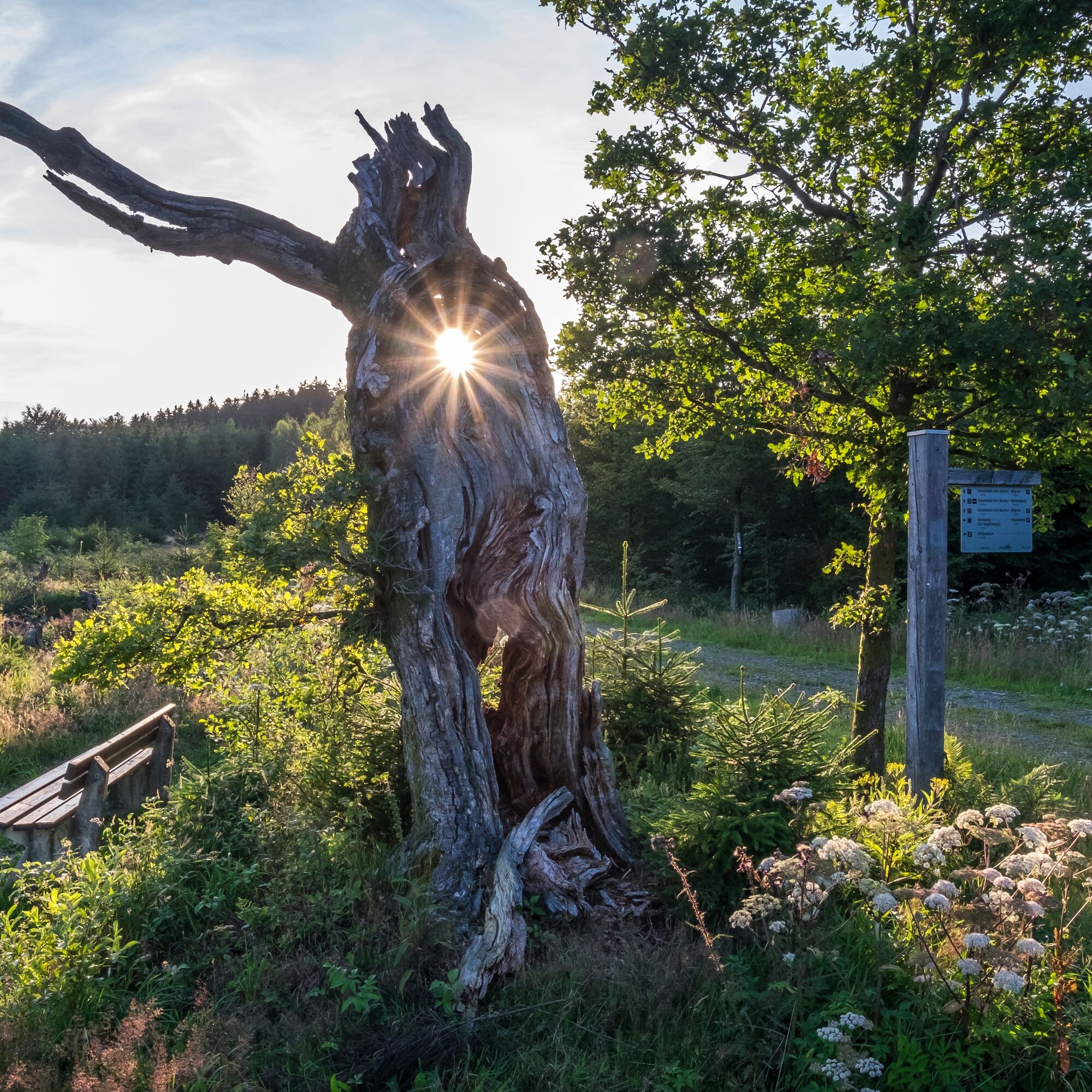
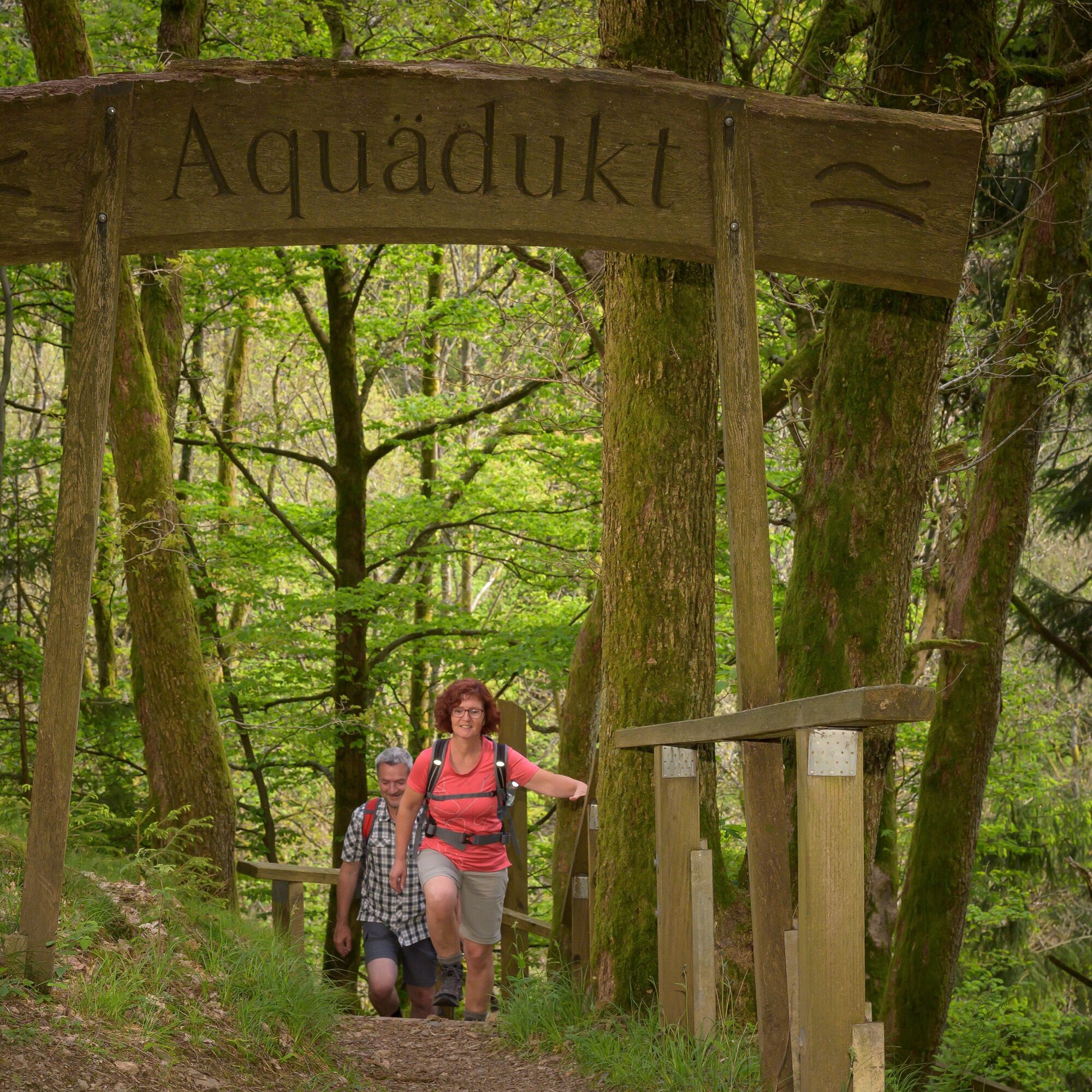

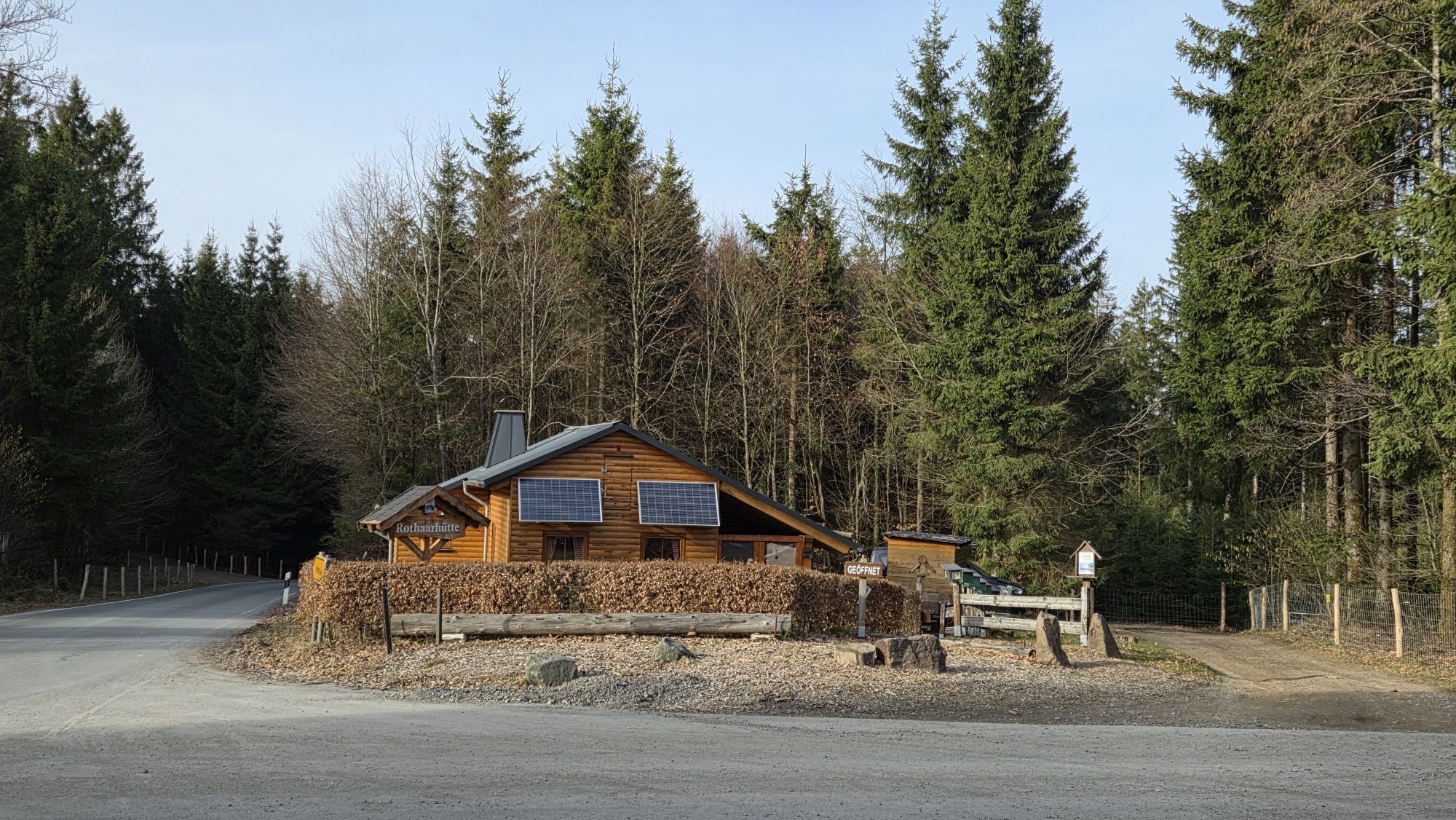
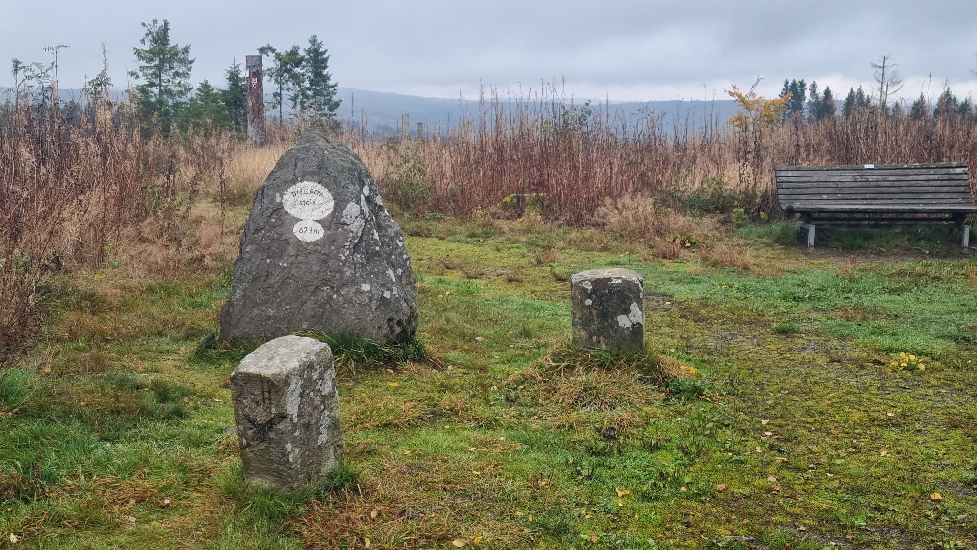
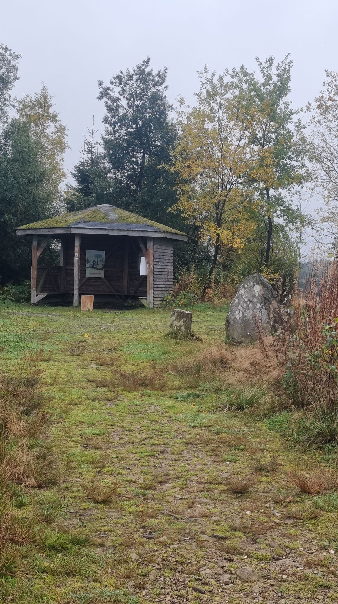
About 100 m along the road towards Heinsberg, the circular trail marked with a white circle on a black background leads sharply to the right past fish ponds into the beautiful Krenkel valley. After 2 km, it is worth taking the steep detour to the right to the aqueduct, a stream crossing over an old railroad line. You return to the main path, which turns sharp left after a few hundred meters and leads up to the Rothaar ridge as a steep ascent that requires a good level of fitness. At the top, turn left onto the Rothaarsteig. Continue to the Dreiherrenstein with a rest area and hut, then through beech forest to the Elberndorfer Bach stream and from there to the Oberndorfer Höhe hiking parking lot. Here, the "Rothaarhütte" offers a cozy place to stop for refreshments (open at weekends and on public holidays; please call tel.0151 15259746!) Further highlights are the view from the "Goldener Zapfen" From the "Grüner Platz", turn right downhill back towards Heinsberg and the "Stauweiher Heinsberg" hiking parking lot.
Sturdy footwear, rainwear and provisions are recommended; at the weekend you can stop for refreshments at the Rothaarhütte. Information on 0151 1525 9746.
Most hiking trails run away from towns and settlements and every hiker has thought about what would happen if an emergency were to occur. How can I be found here? Where am I anyway? Can the emergency services reach me?
But in an emergency, things have to happen quickly! That's why the hiking trail network in the Lennestadt & Kirchhundem region is equipped with so-called rescue signs throughout. The green and white stickers attached to the posts of the signposts have a number that you must give when making an emergency call. This means that the emergency services know exactly where you are and valuable time can be saved.
From Kirchhundem via the L 553 to Würdinghausen, on the L 713 to Heinsberg, in the direction of Hilchenbach-Oberndorf to the "Stauweiher Heinsberg" hiking parking lot
Take the train to Lennestadt-Altenhundem ("Bahnhof zum Rothaarsteig"); take the R 36 bus from Lennestadt-Altenhundem station to Heinsberg (Heinsberg Bahnhof stop; from there follow the A 3 hiking trail signs towards the aqueduct).
Hiking parking lot "Stauweiher Heinsberg"; Kirchhundem-Heinsberg
In der Gemeinde Kirchhundem verläuft die Rhein-Weser-Wasserscheide nicht nur über den „Rhein-Weser-Turm“ (Aussichtsturm, bewirtschaftet) sondern auch über den Dreiherrnstein (673 m) sowie über den im angrenzenden Siegerland liegenden Riemen (678 m; rd. 500 m südwestl. des Dreiherrnstein). Während sich das Wasser des auf der Nordflanke des Riemens entspringenden Krenkelsbach bzw. Heinsberger Bach durch die Hundem, Lenne und Ruhr in den Rhein ergießt, fließt das Wasser der Zinse durch die Röspe in die Eder und jenes des Elberndorfer Bachs direkt in die Eder und dann durch die Fulda zur Weser.
Dreiherrnstein
Am Dreiherrnstein stießen die Herrschaftsgebiete Herzogtum Westfalen, Nassau-Siegen und Wittgenstein-Hohenstein zusammen. Der große dreieckige Stein auf dem Wildborn ist auf der nassauischen Seite mit einer Wolfsangel, auf der Wittgensteiner Seite mit einem großen W und auf der kurkölnischen Seite mit einem Kreuz versehen. 1817 bildete Preußen die Kreise Olpe, Siegen und Wittgenstein. Damit waren die alten Territorialgrenzen nur noch Kreisgrenze in der neu gegründeten Provinz Westfalen. Heute ist das ehemalige „Dreiländereck“ ein Grenzpunkt zwischen den Kreisen Olpe und Siegen-Wittgenstein. Über Jahrhunderte tobten entlang dieser Territorialgrenze erbitterte und teilweise sogar tödliche Grenzkämpfe mit Zerstörungen und Diebstahl von Holz, Werkzeug und Vieh. Bis heute ist diese alte Grenze nicht nur durch den Rothaarkamm, sondern auch durch das Zusammentreffen sächsischer und fränkischer Kultur- und Konfessionseinflüsse gekennzeichnet. (Quelle: Erlebnisführer Rothaarsteig; Hrsg.: Rothaarsteigverein e.V.)
„Grenzgschichten hautnah“ (Hörgeschichten zum Download unter www.lennestadt-kirchhundem.de) erzählen Kurioses und Wissenswertes zum „Dreiherrnstein“.
Rothaarsteig-Erlebnisstation "Aquädukt"
Im Krenkeltal unweit des Ausgangpunktes der Qualitätstour "Krenkeltal & Goldener Zapfen" hat bis zum Sommer 2003 ein Bauwerk , welches für Deutschland nahezu einmalig ist, seinen Dornröschenschlaf gehalten. Mit diesem Bauwerk, einem "Aquädukt", wird seit dem Beginn des 20. Jhrd. ein Bach über den künstlichen Geländeeinschnitt für eine Eisenbahntrasse, welche mittlerweile zurück gebaut worden ist, geleitet.
Seit dem Sommer 2003 wird den Besuchern nun innerhalb der Station, welche der Rothaarsteigverein gemeinsam mit dem Regionalforstamt Kurkölnisches Sauerland errichtet hat, die wechselvolle Geschichte von Beginn des Baus bis heute in einem Buch nahegebracht. Dabei hat man die Möglichkeit, das Bauwerk und die Natur im Umfeld ausgiebig zu betrachten und zu genießen. Als ein wahres Kunstwerk steht am Ende des Aquäduktes ein maßstabsgerechtes, in Kupfer getriebenes Geländemodell, bei welchem die Funktionsweise eines "Aquäduktes" deutlich wird.
Vergeet je smartphone niet! Wie was de machtigste van het land? De kosteloze podcast “Dreiherrnstein” vertelt de roerende geschiedenis van de strijd over grond en bodem tussen de Aartsbisschop van Keulen, de Graaf van Nassau-Siegen en de Vorst van Wittgenstein. Daarnaast wordt er op de Sauerland app bij de wandeling "Sauerland & Siegen-Wittgenstein" ook een (Duitse) quiz aangeboden! Tijdens de tocht kun je interessante vragen beantwoorden. De app kun je in de appstores vinden.
 Získejte přehled
Vždy živě na místě s více než 9 500 webkamerami. bergfex Jako uživatel Pro si nyní můžete zobrazit odpovídající webové kamery pro mnoho prohlídek v aplikaci prohlídky z. Můžete si tak přímo prohlédnout aktuální podmínky.
Získejte přehled
Vždy živě na místě s více než 9 500 webkamerami. bergfex Jako uživatel Pro si nyní můžete zobrazit odpovídající webové kamery pro mnoho prohlídek v aplikaci prohlídky z. Můžete si tak přímo prohlédnout aktuální podmínky.
Oblíbené prohlídky v okolí
-
5.0
Rothaarsteig Trail Oberhundem Mountain Tour
středníTuristika 11.5 km -
5.0
Rothaarsteig
střednídálková pěší trasa 152 km -
5.0
Von Schanze über den Rothaarsteig nach Jagdhaus (ÖPNV-Tour)
středníTuristika 14.3 km -
5.0
Veischeder Sonnenpfad - Nordschleife
heavyTuristika 17.7 km -
5.0
Rundweg um Fleckenberg (F2)
středníTuristika 13.9 km -
Lahnwanderweg 1st stage Lahn source – Feudingen
středníTuristika 14.3 km -
3.0
Wisent-Pfad - Rothaarsteig-Spur - Tierisches Wandervergnügen
heavyTuristika 13.2 km -
Lahnwanderweg stage 02 Feudingen – Bad Laasphe
středníTuristika 16.8 km -
4.0
Golddorf-Route Latrop
světloTuristika 5.54 km -
4.0
Rothaarsteig-Spur - Zinser Grenzpfad
středníTuristika 14.4 km
Pěší turistika a stopování


Nenechte si ujít nabídky a inspiraci pro vaši příští dovolenou
Vaše e-mailová adresa byl přidán do poštovního seznamu.





