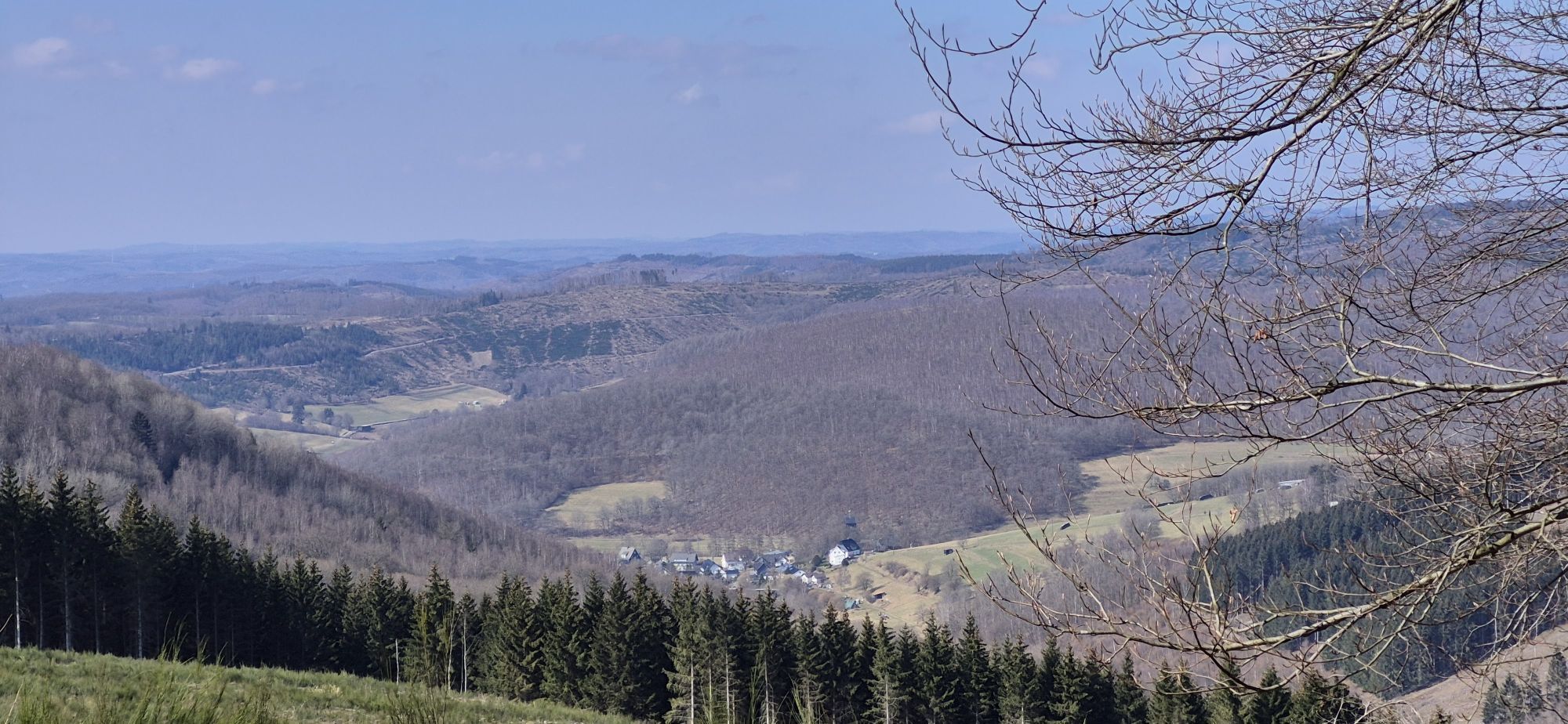
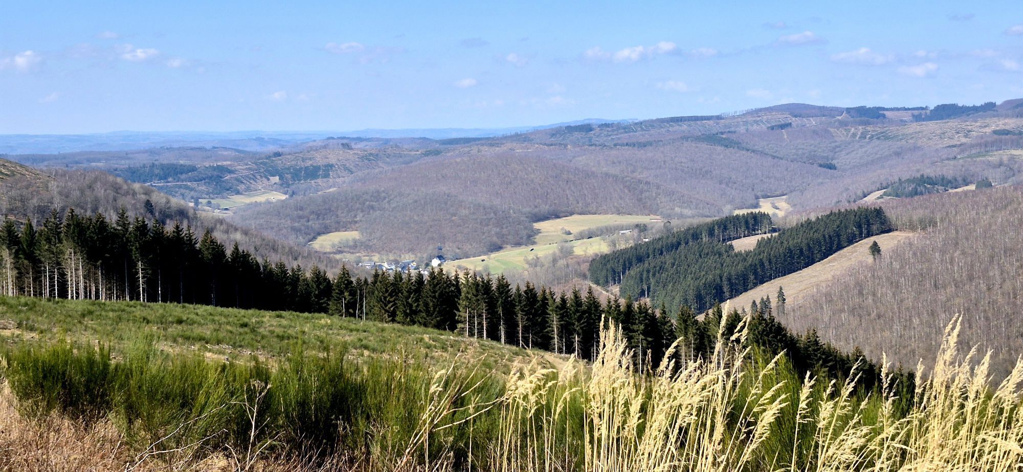
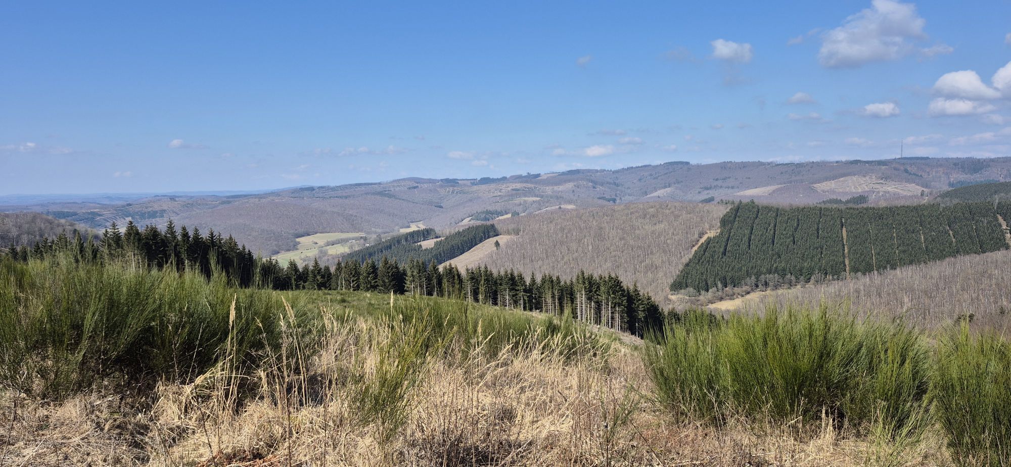
Nenkersdorf - Zum Lahnhof - Forsthaus Lahnquelle - Steinwäldchen
heavy
Pořiďte si tuto prohlídku do mobilního telefonu
Nenkersdorf - Zum Lahnhof - Forsthaus Lahnquelle - Steinwäldchen
heavy
Turistika
19,35
km
Naskenujte QR kód a spusťte navigaci v aplikaci bergfex.

Pěší turistika a stopování


Nenkersdorf - Zum Lahnhof - Forsthaus Lahnquelle - Steinwäldchen
heavy
Vzdálenost
19,35
km
Doba trvání
05:12
h
Ascent
563
hm
Hladina moře
366 -
669
m
Stažení skladby
Nenkersdorf - Zum Lahnhof - Forsthaus Lahnquelle - Steinwäldchen
heavy
Turistika
19,35
km
Trasa
Nenkersdorf
(359 m)
Vesnice
0,1 km
Forsthaus Lahnquelle
(609 m)
Restaurace
5,0 km
Lahnquelle
(607 m)
Zdroj:
5,0 km
Ilmquelle
(638 m)
Zdroj:
7,2 km
Siegquelle
(612 m)
Zdroj:
8,5 km
Steinwäldchen
(584 m)
Summit
15,6 km
Nenkersdorf
(359 m)
Vesnice
19,3 km
Trasa
Nenkersdorf - Zum Lahnhof - Forsthaus Lahnquelle - Steinwäldchen
heavy
Turistika
19,35
km
Nenkersdorf
(359 m)
Vesnice
0,1 km
Zum Lahnhof
(616 m)
Restaurace
4,7 km
Forsthaus Lahnquelle
(609 m)
Restaurace
5,0 km
Lahnquelle
(607 m)
Zdroj:
5,0 km
Ilmquelle
(638 m)
Zdroj:
7,2 km
Siegquelle
(612 m)
Zdroj:
8,5 km
Steinwäldchen
(584 m)
Summit
15,6 km
Nenkersdorf
(359 m)
Vesnice
19,3 km
Zatím žádné recenze
Oblíbené prohlídky v okolí
- 5,0
Quality tour: Krenkeltal and Goldener Zapfen - ridge walk between the Rhine and Weser rivers
středníTuristika 11,3 km Lahnwanderweg 1st stage Lahn source – Feudingen
středníTuristika 14,3 kmLahnwanderweg stage 02 Feudingen – Bad Laasphe
středníTuristika 16,8 km- 4,0
Rothaarsteig-Spur - Zinser Grenzpfad
středníTuristika 14,4 km Lahn cycle path 1st stage upstream Biedenkopf - Feudingen/Lahn source
heavyJízda na kole 30,7 kmHilchenbach Adventure Trail
středníTematická stezka 3,51 kmROTHAARSTEIG TRAIL “Ilsepfad” (“Ilse path”)
středníTuristika 16,0 kmRothaarsteig-Spur Gernsdorfer Höhentour
středníTuristika 13,4 kmRothaarsteig-Spur Dill-Bergtour
středníTuristika 15,9 kmKöhlerpfad
středníTematická stezka 5,17 km

Pěší turistika a stopování

Více než 550.000 návrhů výletů, podrobné mapy a intuitivní plánovač tras dělají z aplikace nezbytnou výbavu pro všechny milovníky přírody.

Nenechte si ujít nabídky a inspiraci pro vaši příští dovolenou
Přihlaste se k odběru newsletteru
Chyba
Došlo k chybě. Zkuste to prosím znovu.Děkujeme za vaši registraci
Vaše e-mailová adresa byl přidán do poštovního seznamu.
Zájezdy po celé Evropě
Rakousko Švýcarsko Německo Itálie Slovenia Francie Nizozemsko Belgie Polsko Lichtenštejnsko Česko Slovensko Španělsko Chorvatsko Bosna a Hercegovina Lucembursko Andorra Portugal Iceland United Kingdom Ireland Greece Albania North Macedonia Malta Norway Montenegro Moldova Kosovo Hungary San Marino Romania Estonia Latvia Belarus Cyprus Lithuania Serbia Bulgaria Monaco Denmark Sweden Finland