
Nature Park Hiking Trail Way of the Senses / 4.9 km
střední
Pořiďte si tuto prohlídku do mobilního telefonu
Nature Park Hiking Trail Way of the Senses / 4.9 km
střední
Turistika
4.92
km
Naskenujte QR kód a spusťte navigaci v aplikaci bergfex.


Pěší turistika a stopování




Nature Park Hiking Trail Way of the Senses / 4.9 km
střední
Vzdálenost
4.92
km
Doba trvání
01:26
h
Ascent
101
hm
Hladina moře
150 -
260
m

Navigujte po trase v aplikaci
Nainstalujte si aplikaci zdarma a mějte trasu vždy na očích díky GPS navigaci a sledování polohy.
Využijte nyní službu „ bergfex “ v aplikaci
Naskenuj QR kód pomocí fotoaparátu
Jakmile je aplikace nainstalována, obsah se otevře přímo. Pokud aplikaci ještě nemáš, budeš přesměrován na stránku, kde si ji můžeš zdarma stáhnout.
Stažení skladby
Nature Park Hiking Trail Way of the Senses / 4.9 km
střední
Turistika
4.92
km
Sharpen your senses! Discover the wind harp, the climate scale, the humming stone and much more along the way! Depending on your time and mood, you can explore the inner path of the senses, which is mainly...
Popis
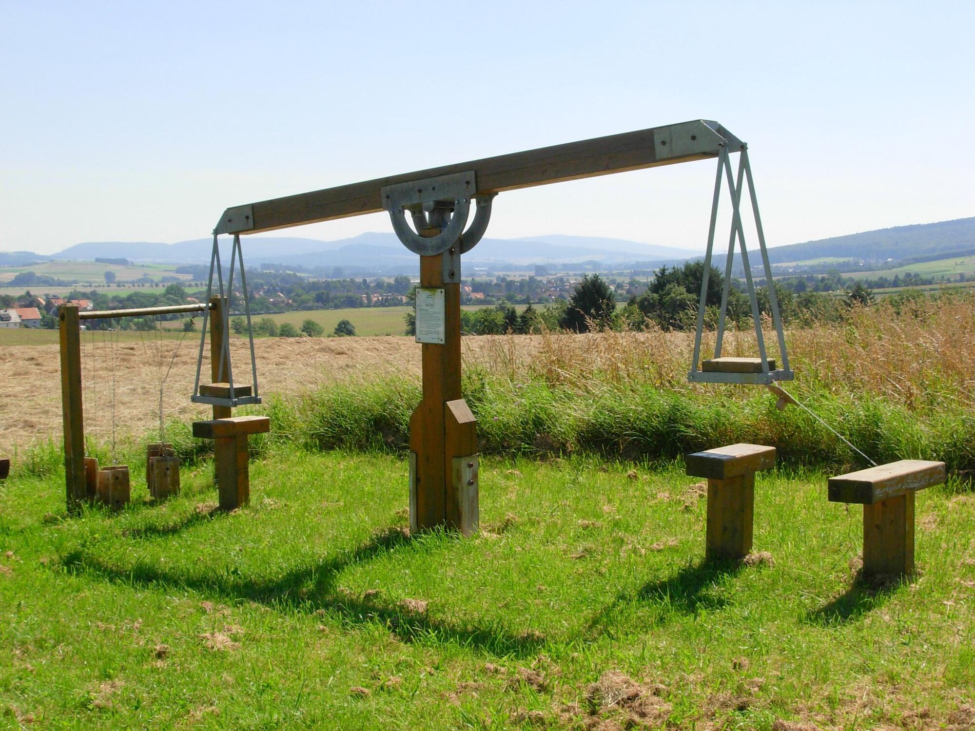
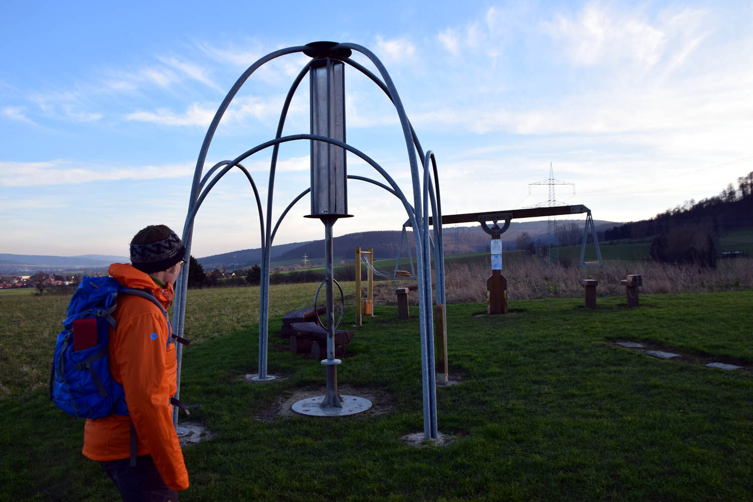
Sharpen your senses! Discover the wind harp, the climate scale, the humming stone and much more along the way! Depending on your time and mood, you can explore the inner path of the senses, which is mainly located in the village center, and the outer path of the senses, which is spread over a distance of 5 km. The adventure trail at the back includes a forest xylophone, a tangram and the avenue of annual trees.
Depending on your time and mood, you can explore the inner path of the senses, which is mainly located in the village center, and the outer path of the senses, which is spread over a distance of 5 km. The adventure trail at the back includes a forest xylophone, a tangram and the avenue of annual trees.
The spiritual father of the "Path of the Senses" is the Essen-based writer, educator and artist Hugo Kükelhaus. Learning with all the senses was central to Hugo Kükelhaus. When designing his play equipment, he based it on the relationship between the environment and the sensory organs.
To find the path, simply follow the signs with "Gustav the Wanderer"! Children's book author Ingo Siegner (including "Drache Kokosnuss") has provided him for all family-friendly nature park hiking trails. Thank you !
Trasa
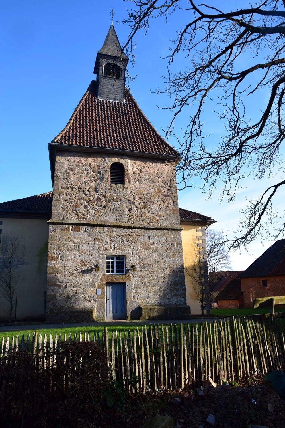
Sankt Nicolai
(159 m)
Místo konání bohoslužeb
0.2 km
Kessiehausen
(206 m)
Vypořádání
2.5 km
Sankt Nicolai
(159 m)
Místo konání bohoslužeb
4.6 km
Trasa
Nature Park Hiking Trail Way of the Senses / 4.9 km
střední
Turistika
4.92
km
Bistro Leicht & Lecker
(154 m)
Restaurace
0.1 km
Sankt Nicolai
(159 m)
Místo konání bohoslužeb
0.2 km
Bakede
(156 m)
Vesnice
0.2 km
Kessiehausen
(206 m)
Vypořádání
2.5 km
Bakede
(156 m)
Vesnice
4.2 km
Sankt Nicolai
(159 m)
Místo konání bohoslužeb
4.6 km
Bistro Leicht & Lecker
(154 m)
Restaurace
4.8 km
Autor
Poskytuje Weserbergland Tourismus e.V.
Prohlídku Nature Park Hiking Trail Way of the Senses / 4.9 km zajišťuje outdooractive.com.



Informace o trase
Trasa
You start from the parking lot below the church in Bakede, where you will find the first sensory stations, heading north into Heerstraße. Then follow the ring road and Papenbrink until you come to Kessiehäuserstraße. Turn west onto this road and follow the edge of the field to Kessiehausen and on to the Bensen-Eichen refuge, where you will find the next sensory stations. There, turn south and follow the snake path to the next junction. There, follow the path eastwards back to Bakede to your vantage point.
26% asphalt, 15% gravel, 35% firm paths, 24% natural paths.
Informace o příjezdu
Příjezd
By car:
From the north, west and east, take the A2 highway exit Route 442 in the direction of Lauenau/Bad Münder/Hameln/Springe. From there, follow the B 442 towards Bad Münder. After approx. 7 km, turn onto the K73 towards Beber and Bakede.
From the south, take the L558 towards Coppenbrügge and finally to Bakede.
Parkování
Use the parking lot below the church on Ringstraße in Bakede.
Další informace a tipy
Tipy
Experience the path of the senses even more intensively by booking a professional guided tour with Östliches Weserbergland. You start from the parking lot below the church in Bakede, where you will find the first sensory stations, heading north into Heerstraße. Then follow the ring road and Papenbrink until you come to Kessiehäuserstraße. Turn west onto this road and follow the edge of the field to Kessiehausen and on to the Bensen-Eichen refuge, where you will find the next sensory stations. There, turn south and follow the snake path to the next junction. There, follow the path eastwards back to Bakede to your viewpoint.
Zatím žádné recenze
Oblíbené prohlídky v okolí
-
3.7
Süntel-Hamelspringe-Süntelturmrunde
světloTuristika 9.42 km -
Bantorfer Höhe
světloTuristika 6.51 km -
4.0
Bullerbach-Tour
středníTuristika 11.4 km -
4.5
Kreuzstein-Route
heavyTuristika 7.44 km -
RI5 - Drei-Burgen-Route
středníTuristika 13.7 km -
5.0
RI6 - Springsteine-Route
středníTuristika 7 km -
Naturpark-Wanderweg Weg der Sinne / 4,9 km
středníTuristika 4.92 km -
Walterbachtal im Deister, Eimbeckhauser Panoramaweg
světloTuristika 12.5 km -
Naturpark-Wanderweg Nordmannsturm (Ni 5) / 8,5 km
středníTuristika 7.34 km -
Durch das liebliche Walterbachtal
středníTuristika 8.68 km
Pěší turistika a stopování

Více než 550.000 návrhů výletů, podrobné mapy a intuitivní plánovač tras dělají z aplikace nezbytnou výbavu pro všechny milovníky přírody.

Nenechte si ujít nabídky a inspiraci pro vaši příští dovolenou
Přihlaste se k odběru newsletteru
Chyba
Došlo k chybě. Zkuste to prosím znovu.
Děkujeme za vaši registraci
Vaše e-mailová adresa byl přidán do poštovního seznamu.
Zájezdy po celé Evropě
Rakousko
Švýcarsko
Německo
Itálie
Slovenia
Francie
Nizozemsko
Belgie
Polsko
Lichtenštejnsko
Česko
Slovensko
Španělsko
Chorvatsko
Bosna a Hercegovina
Lucembursko
Andorra
Portugal
Iceland
United Kingdom
Ireland
Greece
Albania
North Macedonia
Malta
Norway
Montenegro
Moldova
Kosovo
Hungary
San Marino
Romania
Estonia
Latvia
Belarus
Cyprus
Lithuania
Serbia
Bulgaria
Monaco
Denmark
Sweden
Finland


