


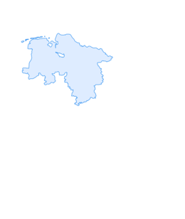

Five-church route in the northeast of Göttingen

Úroveň obtížnosti: 3
Church region "5KiNO" - 5 parishes in the northeast of Göttingen
Blessing at the church door (see QR code)
Christophorus: Isaiah 40:31
St. Petri: Matthew 4:19
St. Nikolaus: Psalm 121:1-2
St. Martin: Matthew...
Church region "5KiNO" - 5 parishes in the northeast of Göttingen
Blessing at the church door (see QR code)
Christophorus: Isaiah 40:31
St. Petri: Matthew 4:19
St. Nikolaus: Psalm 121:1-2
St. Martin: Matthew 5:5
St. Cosmas and Damian: Exodus 15:26

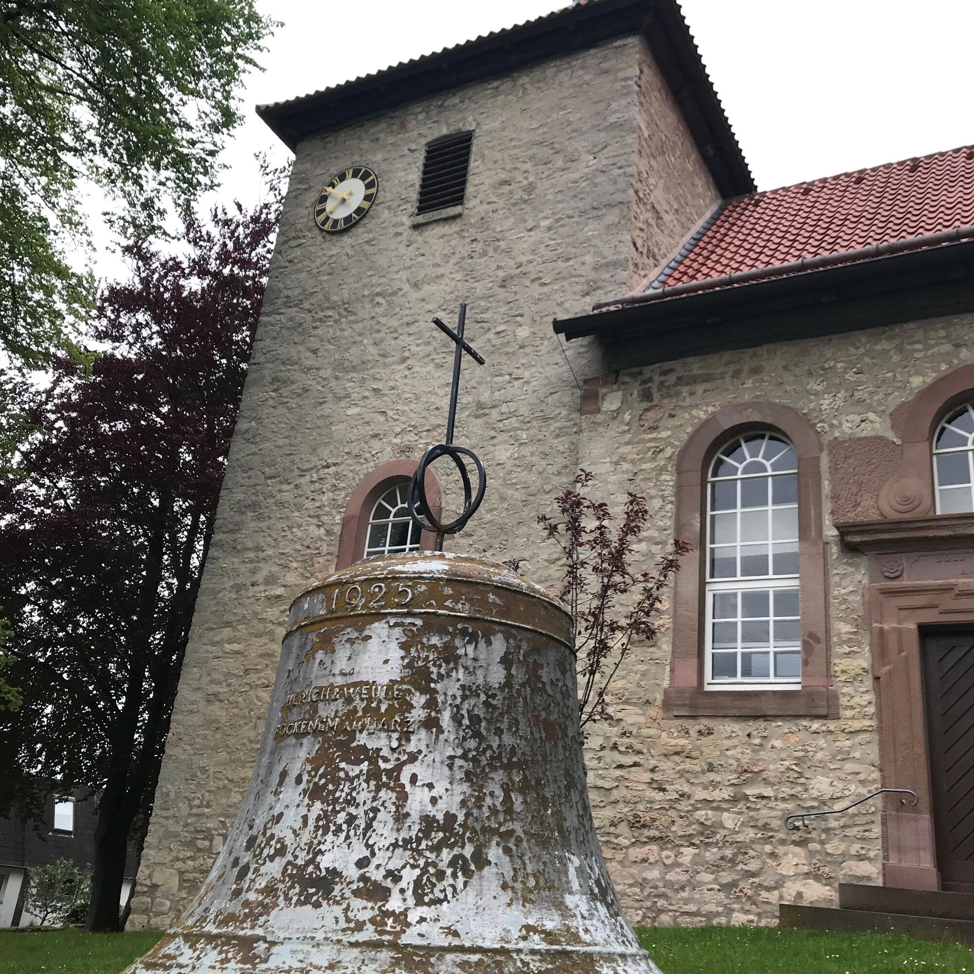
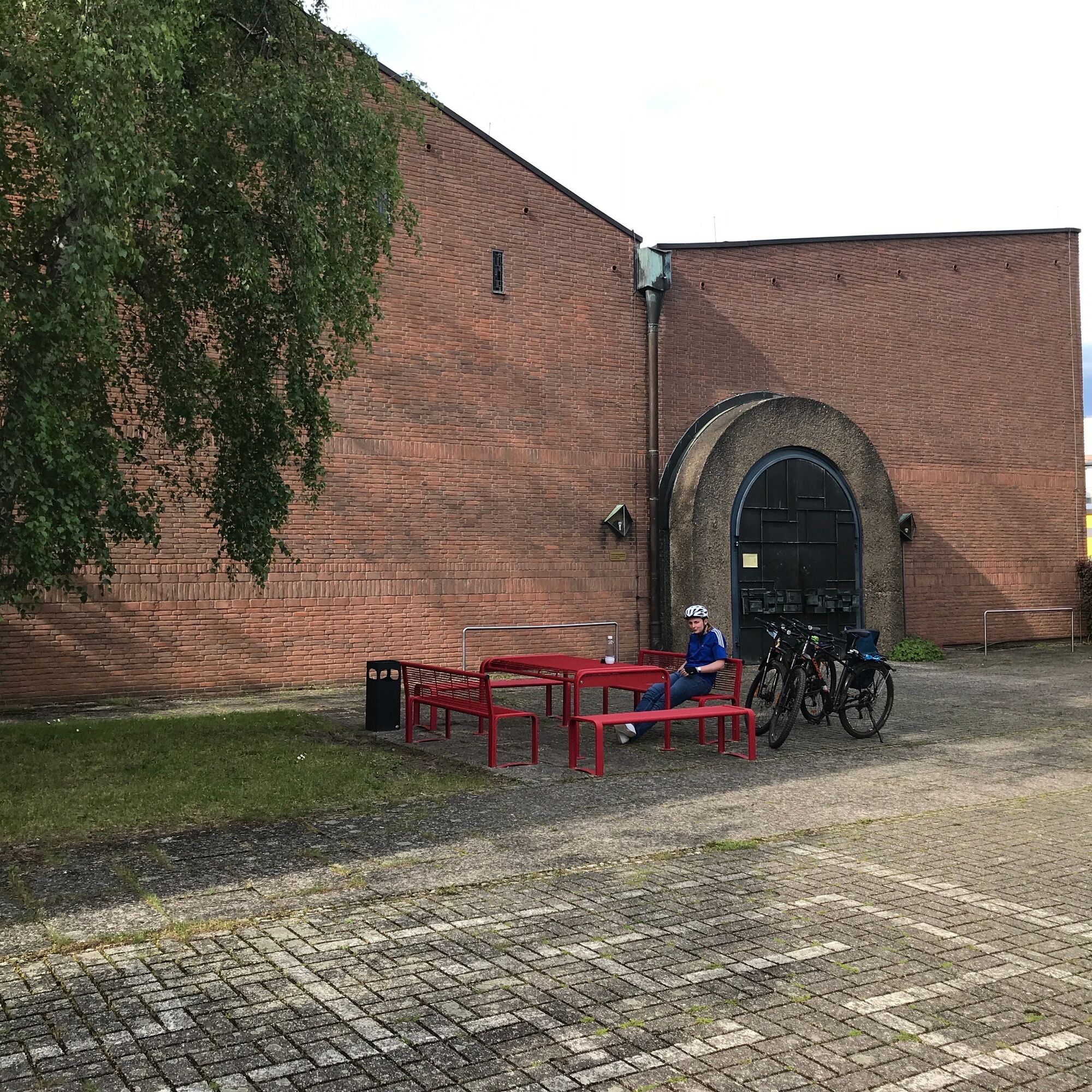
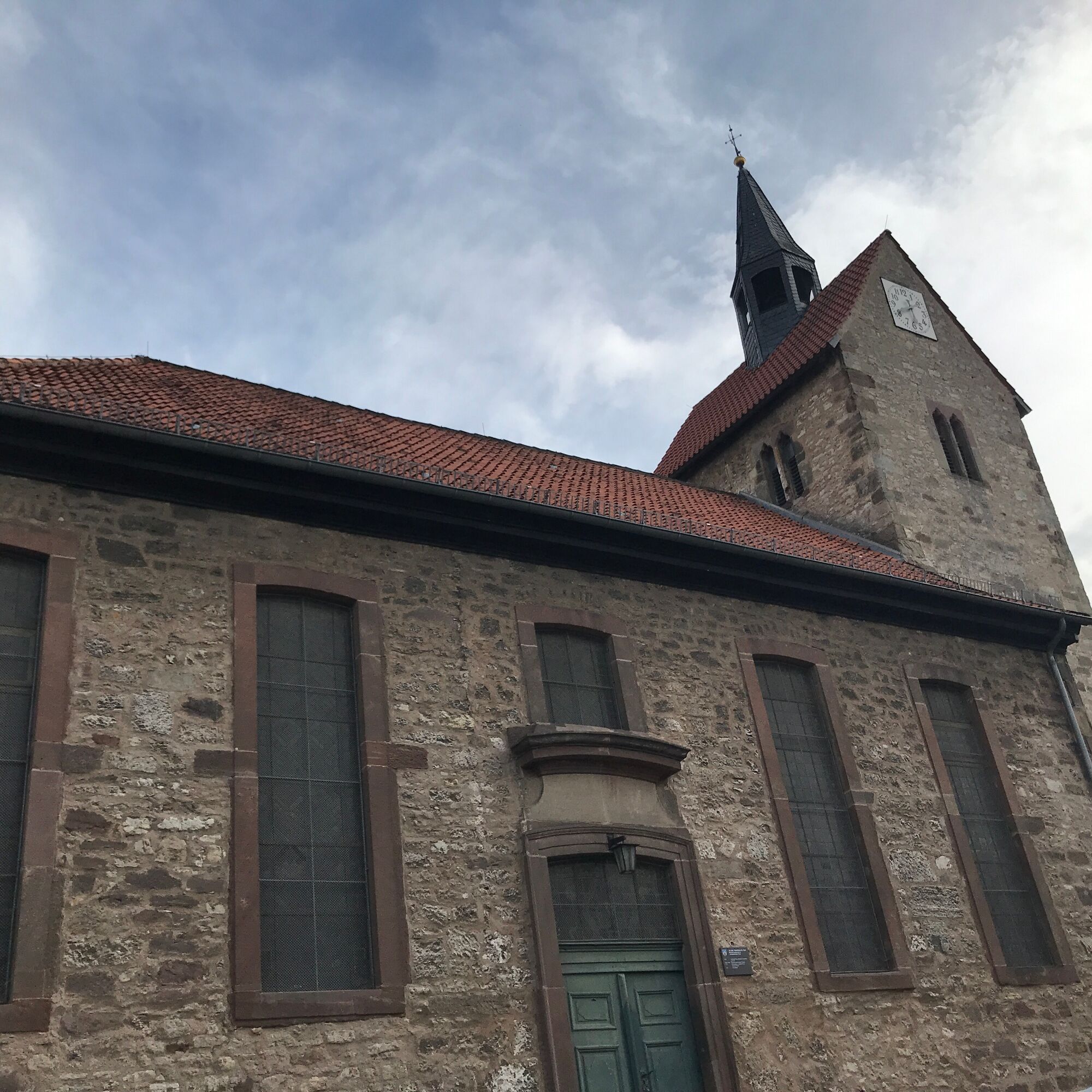
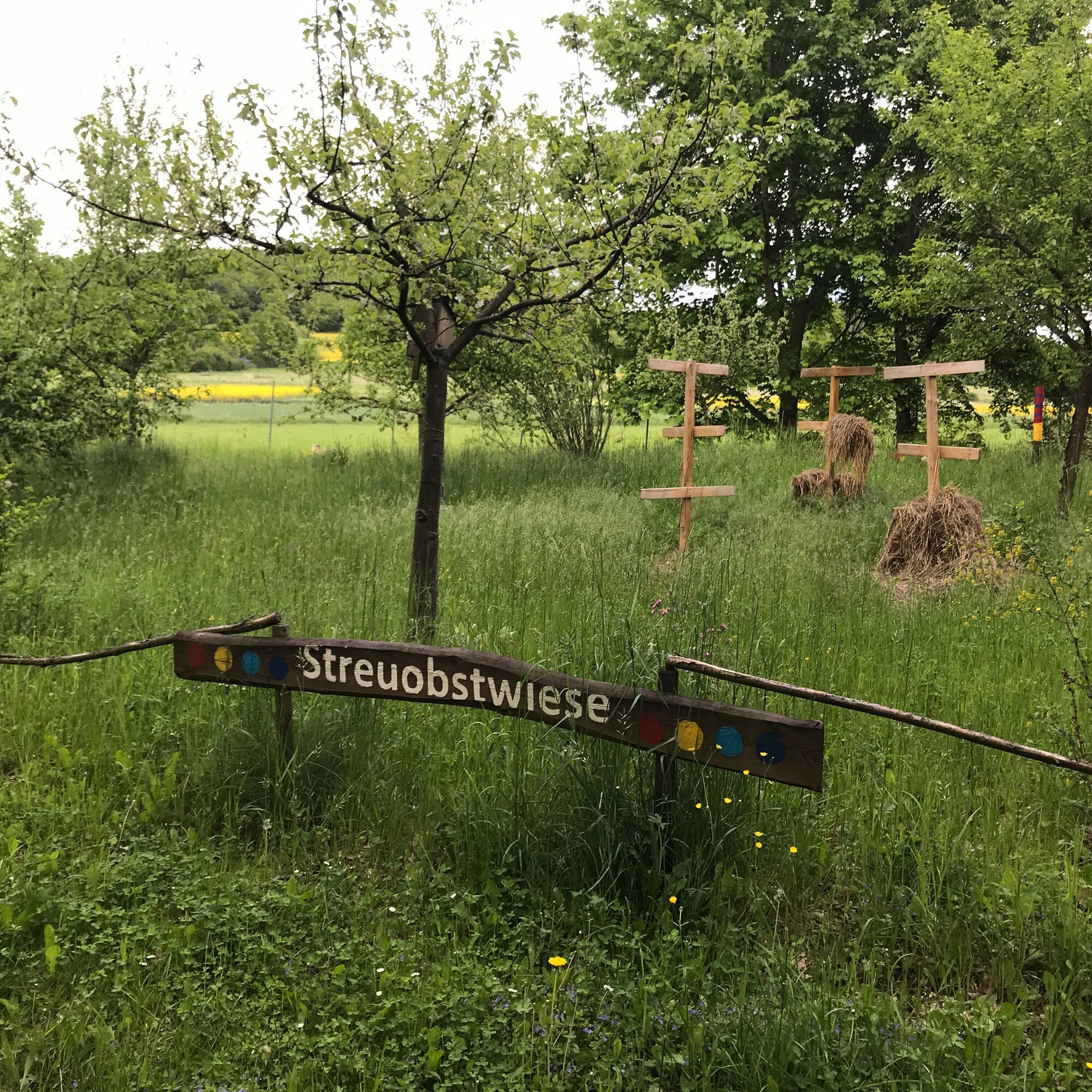
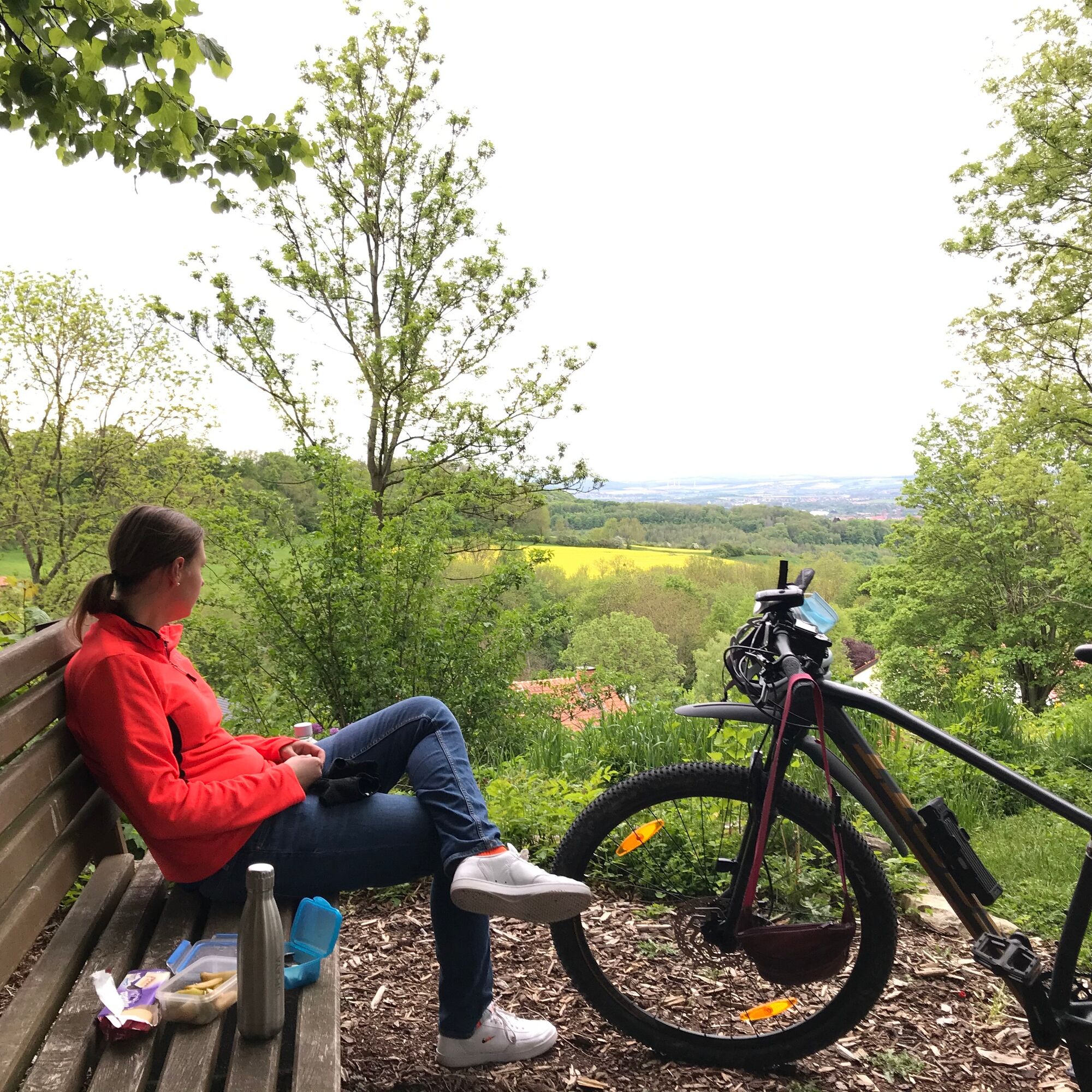
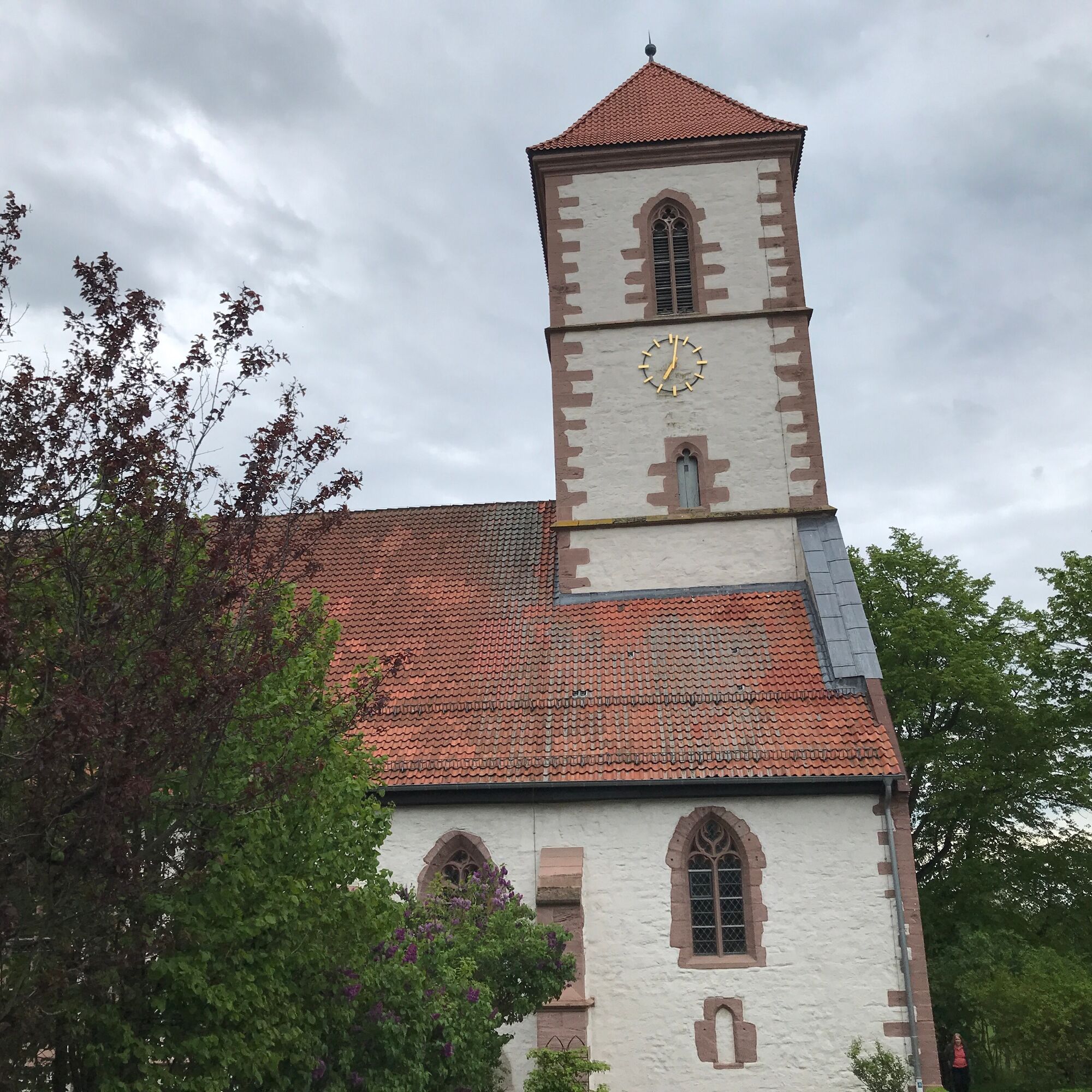
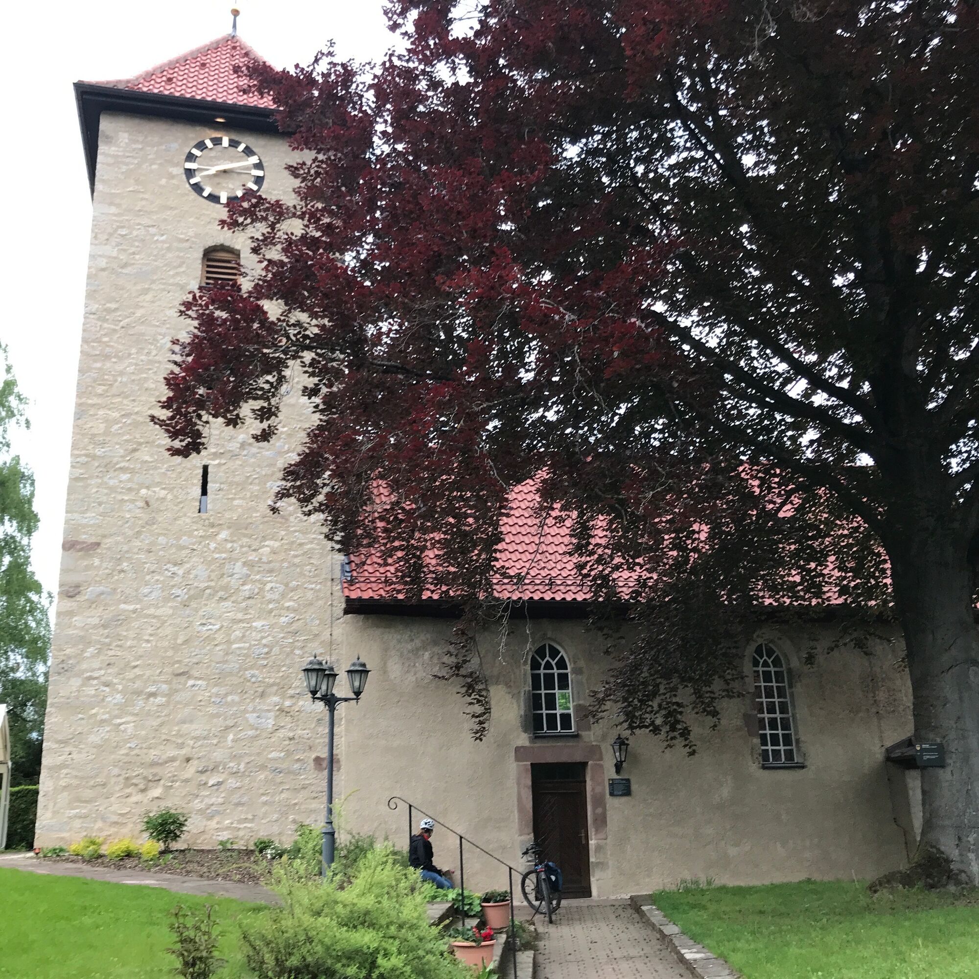


Through the Göttingen northeast district, over the Lutter and on Petrikirchstraße to St. Petri Church. Stumpfe Eiche, past the garden of the Hennebergschule, through the forest, towards Deppoldshausen on the Heinrichsberg, down serpentine roads to Otto-Hahn-Straße, on the bike path to Am Faßberg, steeply left before the village entrance Nikolausberg to the monastery church. Rest with a view. Augustinerstraße, In der Worth, Am Schlehdorn, until you can see into Roringen. Descent across the Bratental. From the west into the village, from Menzelberg to St. Martin's Church. Down Lange Straße, Kohlhofsweg into the lower Bratental. Past the Katzenhaus, across the B27, near the Knochenmühle inn left along the country road on the bike path along Lindenallee to Herberhausen. Before the Lockemann inn, right uphill, then half right into Pfarrweg. Opposite the picturesque Thie resting place at St. Cosmas and Damian Church. Further right up Oberstraße, then right down into the village and out the same way. At Knochenmühle cross B27 again and follow the field path right of B27 to the street Am Papenberg. At the intersection right, Zimmermannstraße, left into Robert-Koch, right into Christophorusweg. Around the kindergarten to Kirchplatz.
3
Oblíbené prohlídky v okolí
Reinhäuser Wald (Rundwanderung in der Gemeinde Gleichen durch den Reinhäuser Wald und das Wendebachtal)
Turistika 9.50 kmFrom Göttingen to Plesse Castle
středníJízda na kole 21.2 kmBike route from Göttingen around Die Gleichen
středníJízda na kole 43 kmRundwandertour um Ebergötzen (Waldspaziergang durchs Weißwassertal)
Turistika 8.56 kmFachwerk5Eck cycling circular route - 5 half-timbered towns in southern Lower Saxony
středníJízda na kole 236.7 kmBike round route from Lake Seeburg to Gieboldehausen
světloJízda na kole 29.5 kmFrom Göttingen around Lake Seeburg
středníJízda na kole 64.6 kmWith climate-friendly energy through Göttingen
středníJízda na kole 31.1 km- 5.0
Solling-Harz-Querweg
Turistika 62.7 km Um die Gleichen und durchs Leinetal
středníJízda na kole 35.2 km
Pěší turistika a stopování


Nenechte si ujít nabídky a inspiraci pro vaši příští dovolenou
Vaše e-mailová adresa byl přidán do poštovního seznamu.


