Wipshausen - Platzhirsch - Hillerser Hof - St. Christinen
heavy
Navigace na stránkách
Navigace na stránkách
Pořiďte si tuto prohlídku do mobilního telefonu
Wipshausen - Platzhirsch - Hillerser Hof - St. Christinen
heavy
Mountainbike
66.31
km
Naskenujte QR kód a spusťte navigaci v aplikaci bergfex.

Pěší turistika a stopování


Wipshausen - Platzhirsch - Hillerser Hof - St. Christinen
heavy
Vzdálenost
66.31
km
Doba trvání
05:49
h
Ascent
475
hm
Hladina moře
54 -
107
m
Stažení skladby
Wipshausen - Platzhirsch - Hillerser Hof - St. Christinen
heavy
Mountainbike
66.31
km
Trasa
Wipshausen
(66 m)
Vesnice
0.0 km
Gifhorn
(53 m)
Město
20.8 km
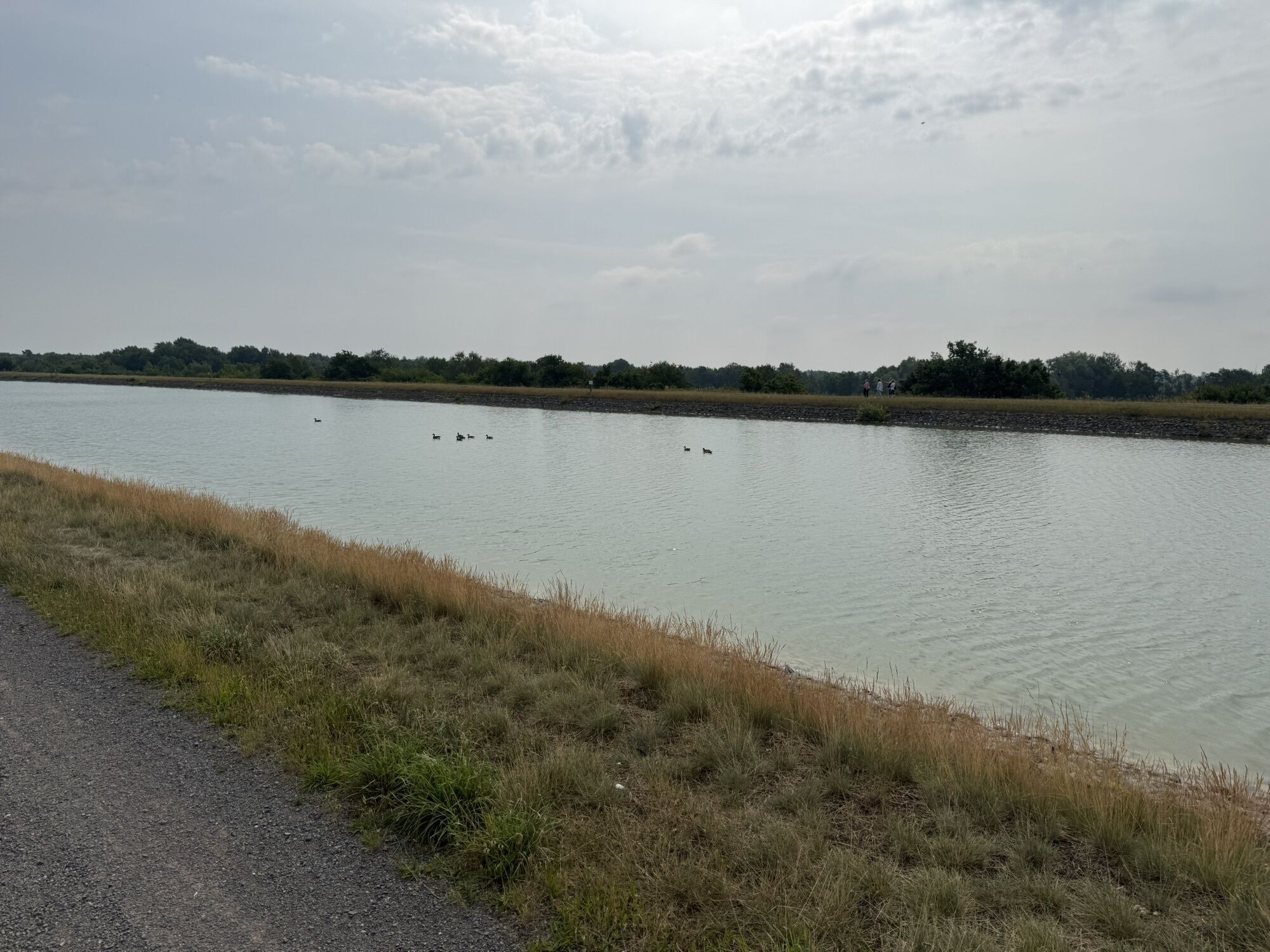
Tankumsee
(66 m)
Vesnice
26.6 km
Edesbüttel
(69 m)
Vesnice
35.1 km
Vordorf
(86 m)
Vesnice
44.7 km
St. Christinen
(69 m)
Místo konání bohoslužeb
55.0 km
Neubrück
(67 m)
Vesnice
60.2 km
Trasa
Wipshausen - Platzhirsch - Hillerser Hof - St. Christinen
heavy
Mountainbike
66.31
km
Wipshausen
(66 m)
Vesnice
0.0 km
Platzhirsch
(70 m)
Restaurace
2.1 km
Hillerser Hof
(65 m)
Restaurace
5.5 km
Hillerse
(65 m)
Vesnice
5.8 km
Leiferde
(68 m)
Vesnice
10.6 km
Iridion
(68 m)
Restaurace
10.6 km
Winkel
(55 m)
Vesnice
17.0 km
Gifhorn
(53 m)
Město
20.8 km
Tankumsee
(66 m)
Vesnice
26.6 km
Seekate
(56 m)
Restaurace
27.4 km
Scooterbahn
(66 m)
Dětské hřiště
27.9 km
SEEHOTEL am Tankumsee
(58 m)
Restaurace
28.0 km
Edesbüttel
(69 m)
Vesnice
35.1 km
Wedelheine
(78 m)
Vesnice
38.2 km
Wedesbüttel
(78 m)
Vesnice
38.4 km
Abbesbüttel
(78 m)
Vesnice
41.9 km
Vordorf
(86 m)
Vesnice
44.7 km
Thune
(71 m)
Vesnice
48.4 km
Dalmacija Am Kanal
(68 m)
Restaurace
49.1 km
Walle
(68 m)
Vesnice
54.7 km
Zum Schuntertal
(69 m)
Restaurace
54.7 km
St. Christinen
(69 m)
Místo konání bohoslužeb
55.0 km
Groß Schwülper
(70 m)
Vesnice
57.3 km
Neubrück
(67 m)
Vesnice
60.2 km
Ersehof
(66 m)
Vesnice
62.4 km
Wipshausen
(66 m)
Vesnice
66.3 km
Zatím žádné recenze
Oblíbené prohlídky v okolí
-
Rund um den Tankumsee mit Ausblick vom Elbe-Seitenkanal
světloTuristika 4.82 km -
Extraportion Wasser und Wald zwischen Vechelde und Wendeburg - Lieblingsradtour
světloJízda na kole 24.6 km -
Grenzwertige Tour
středníJízda na kole 22.5 km -
Wälder und Seen Tour
středníJízda na kole 31.6 km -
Wald und Wiesen - frische Luft pur
středníJízda na kole 37.3 km -
Durch die Büttelei in der Südheide Gifhorn
světloJízda na kole 36.1 km -
Schunterauen
světloTuristika 8.16 km -
Wasser-Pfad Gifhorn
světloTuristika 7.15 km -
Feierabend im Nordkreis - Lieblingsradtour
středníJízda na kole 27.3 km -
Land und Leute - Kultur im Peiner Land
středníJízda na kole 16.3 km
Pěší turistika a stopování

Více než 550.000 návrhů výletů, podrobné mapy a intuitivní plánovač tras dělají z aplikace nezbytnou výbavu pro všechny milovníky přírody.

Nenechte si ujít nabídky a inspiraci pro vaši příští dovolenou
Přihlaste se k odběru newsletteru
Chyba
Došlo k chybě. Zkuste to prosím znovu.
Děkujeme za vaši registraci
Vaše e-mailová adresa byl přidán do poštovního seznamu.
Zájezdy po celé Evropě
Rakousko
Švýcarsko
Německo
Itálie
Slovenia
Francie
Nizozemsko
Belgie
Polsko
Lichtenštejnsko
Česko
Slovensko
Španělsko
Chorvatsko
Bosna a Hercegovina
Lucembursko
Andorra
Portugal
Iceland
United Kingdom
Ireland
Greece
Albania
North Macedonia
Malta
Norway
Montenegro
Moldova
Kosovo
Hungary
San Marino
Romania
Estonia
Latvia
Belarus
Cyprus
Lithuania
Serbia
Bulgaria
Monaco
Denmark
Sweden
Finland