







Wandern im Winter zum Hallerhaus (von Mönichkirchen)
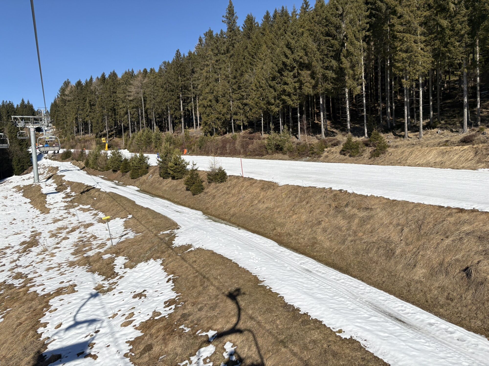
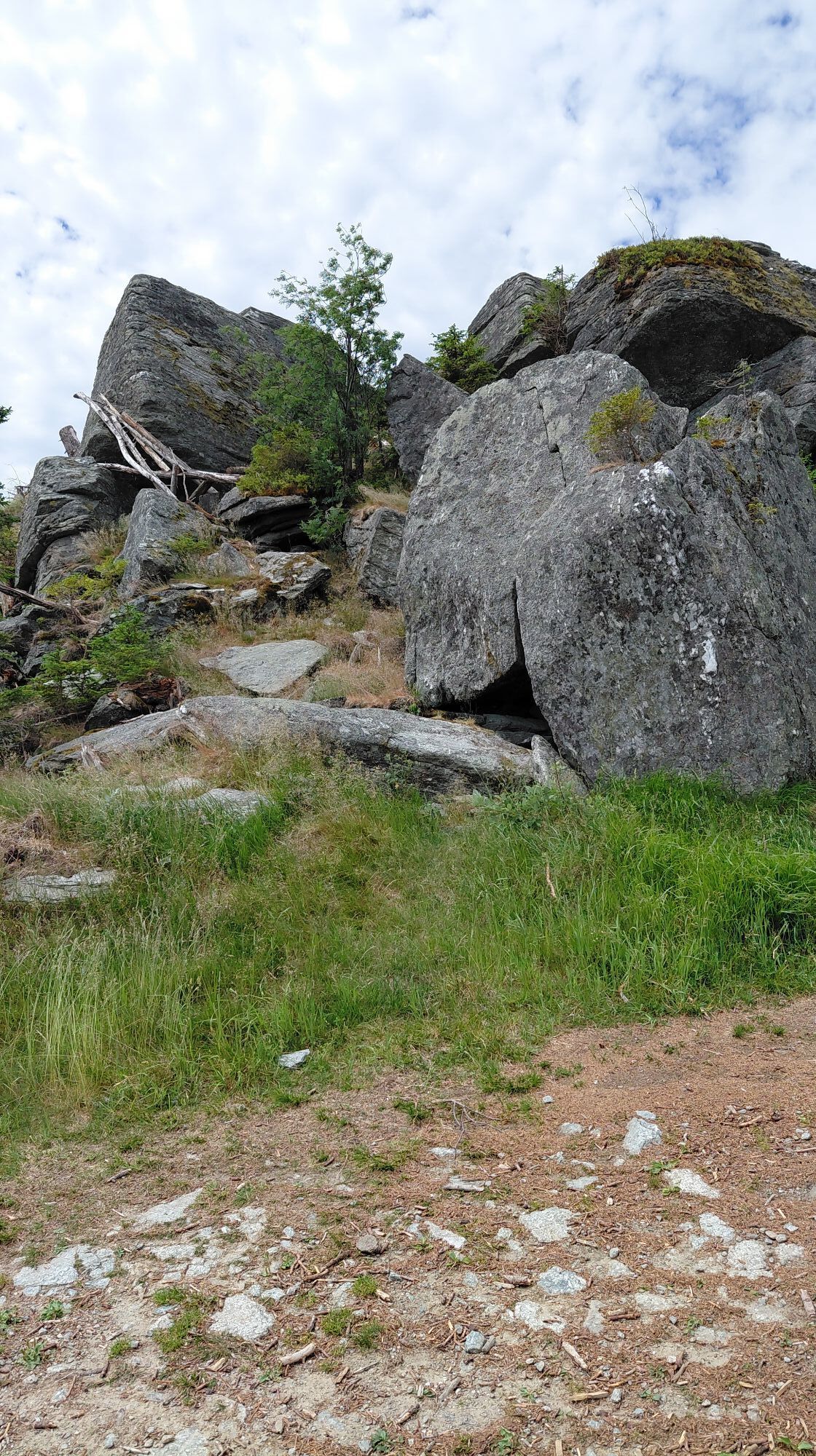
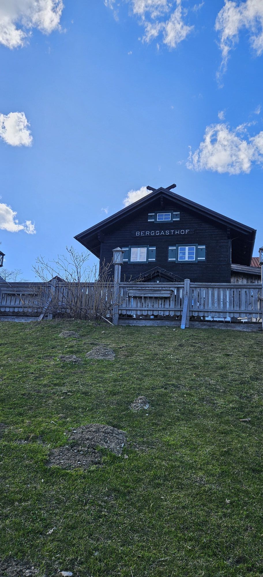
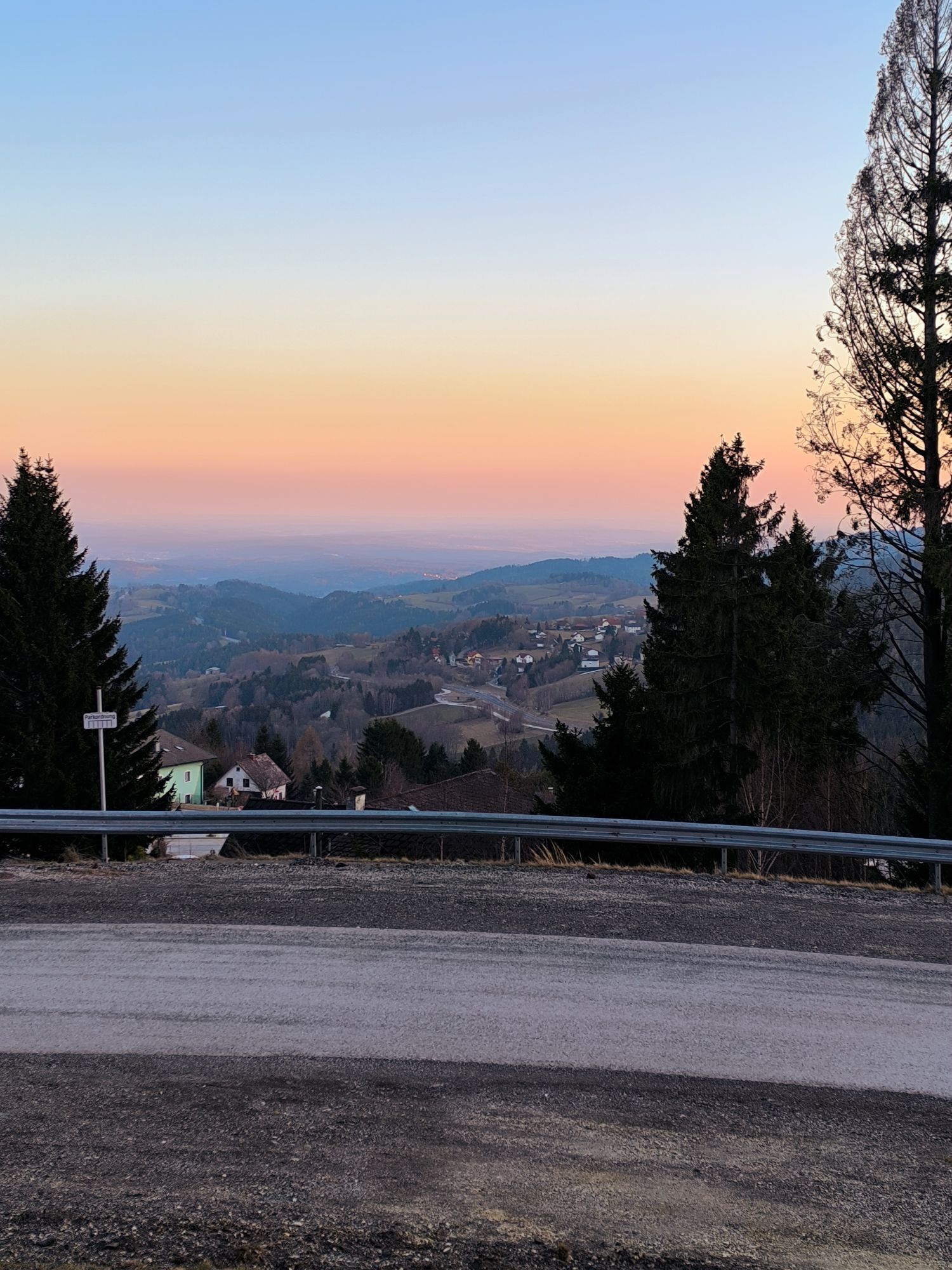
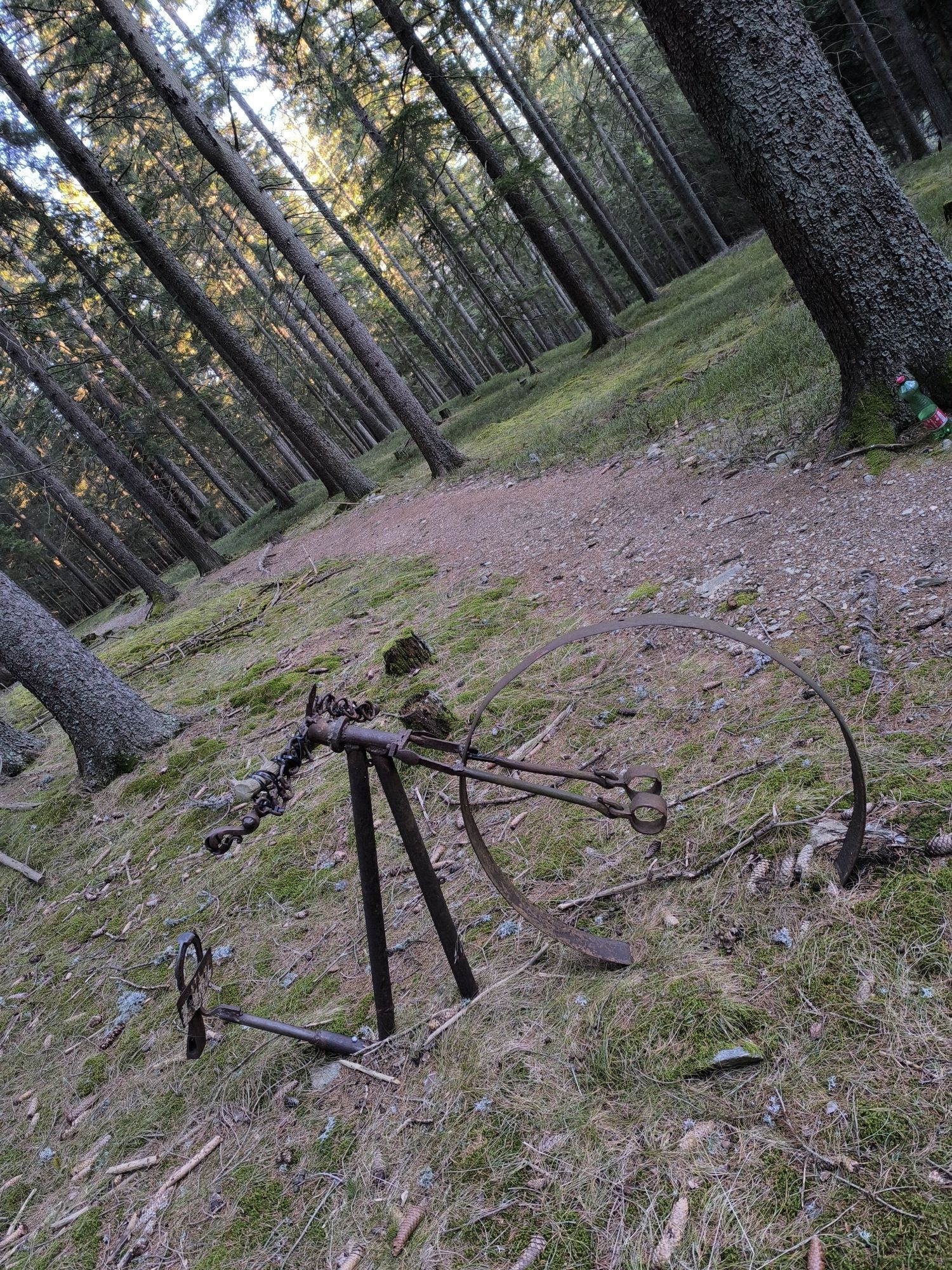
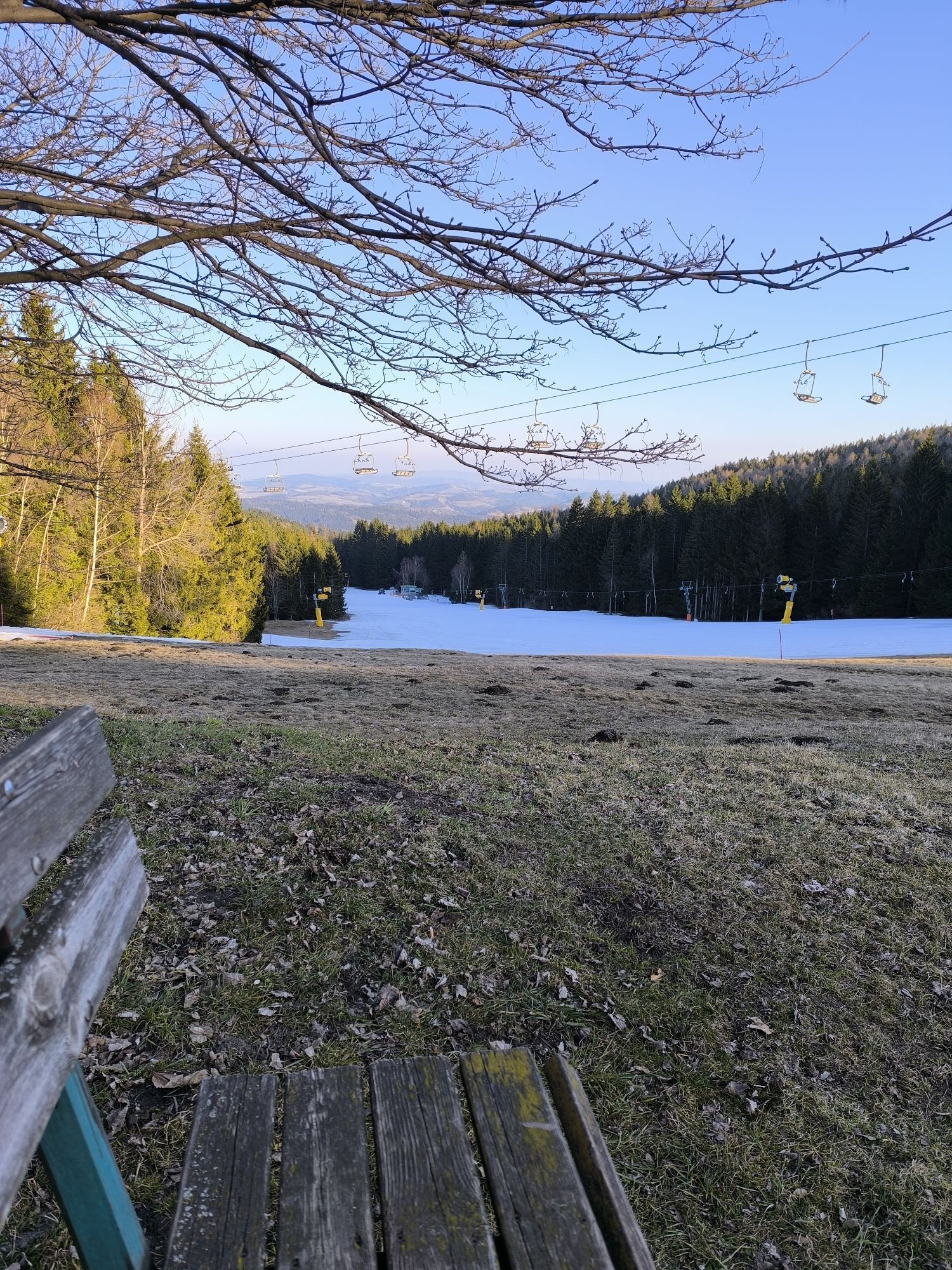

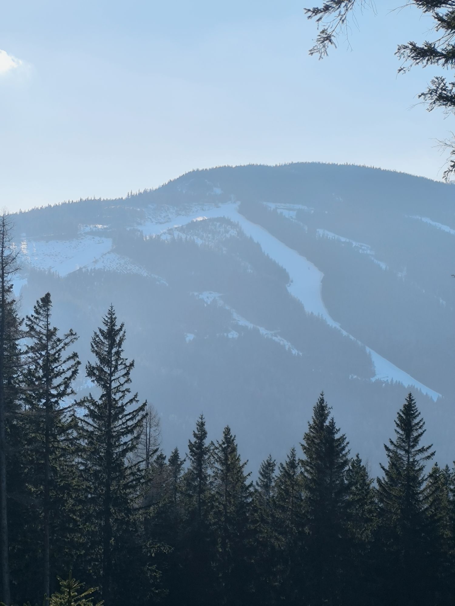
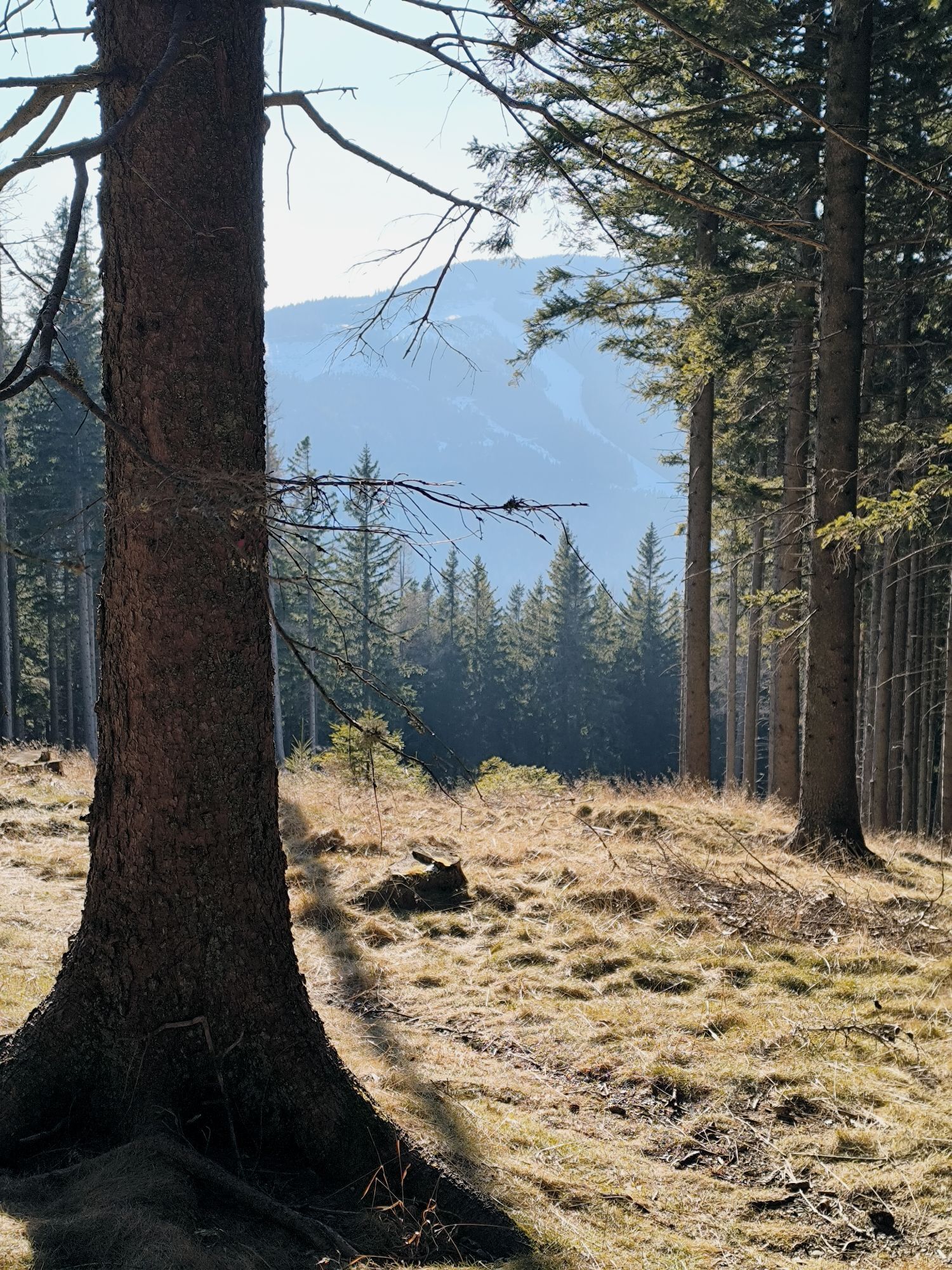
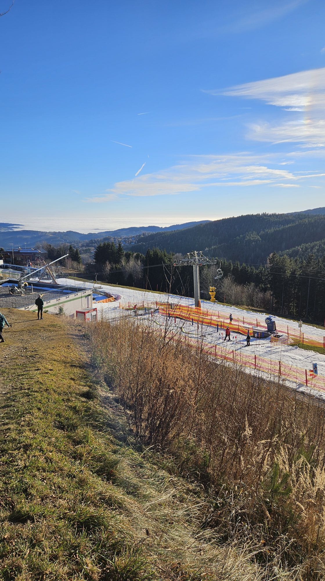
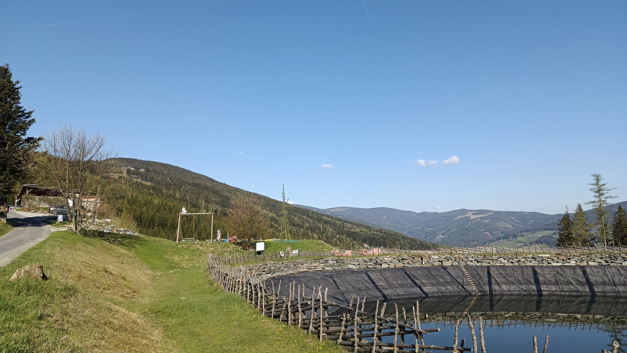
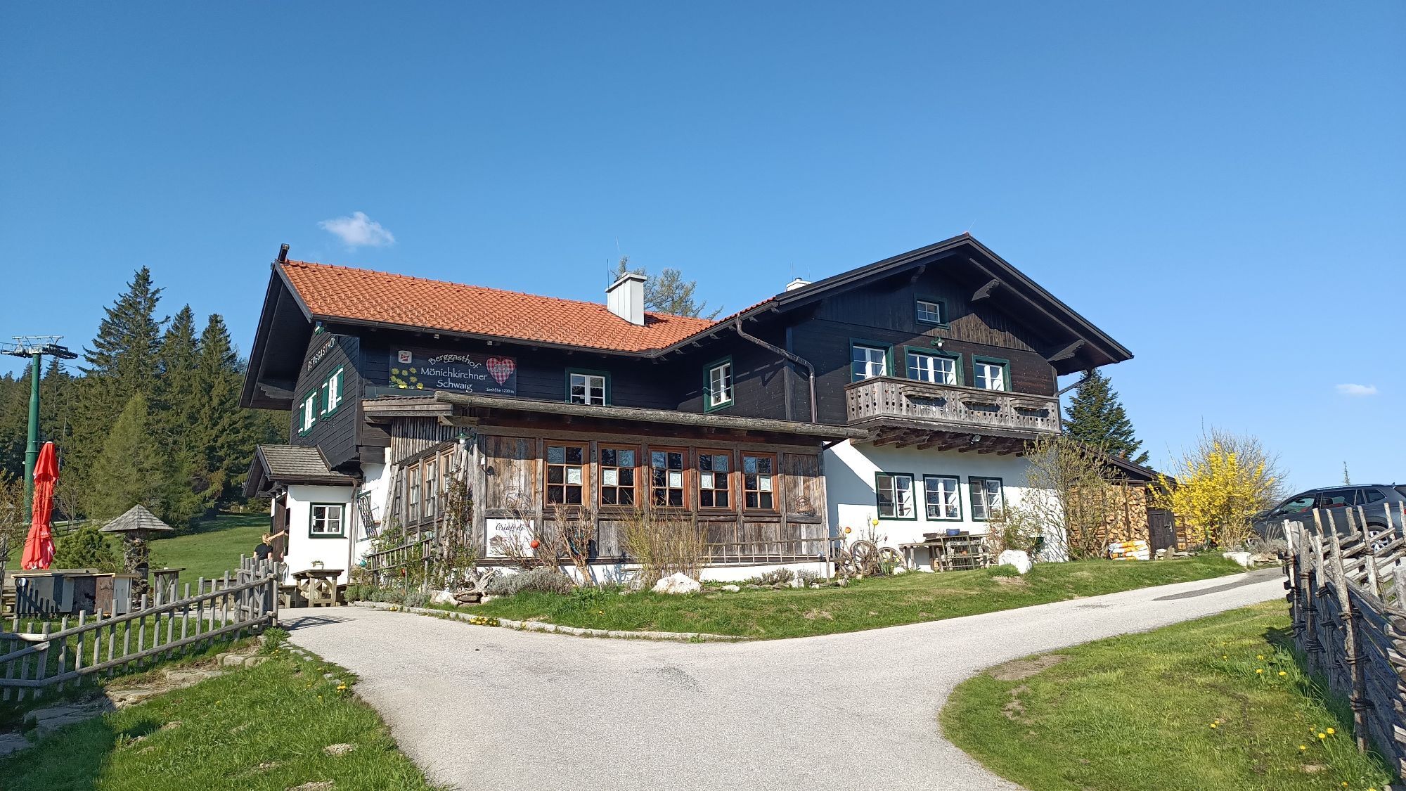
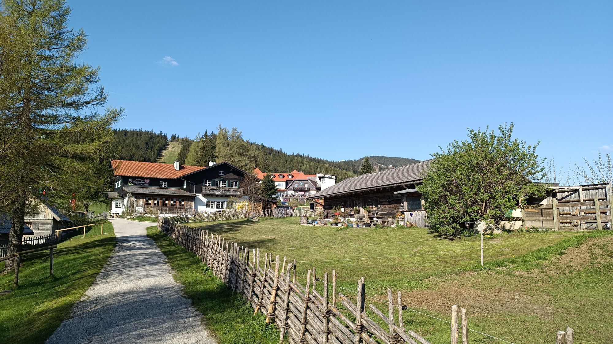
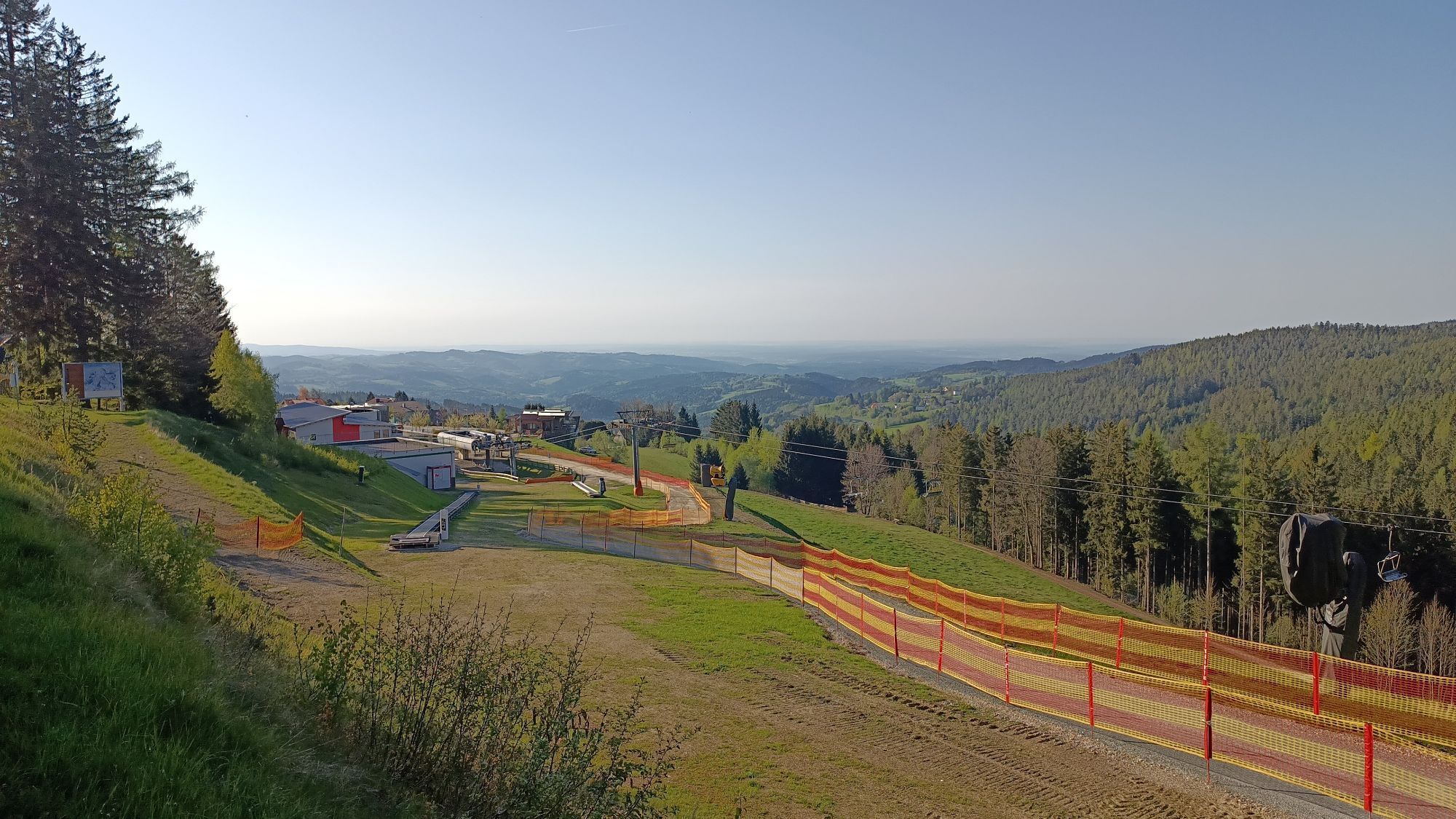
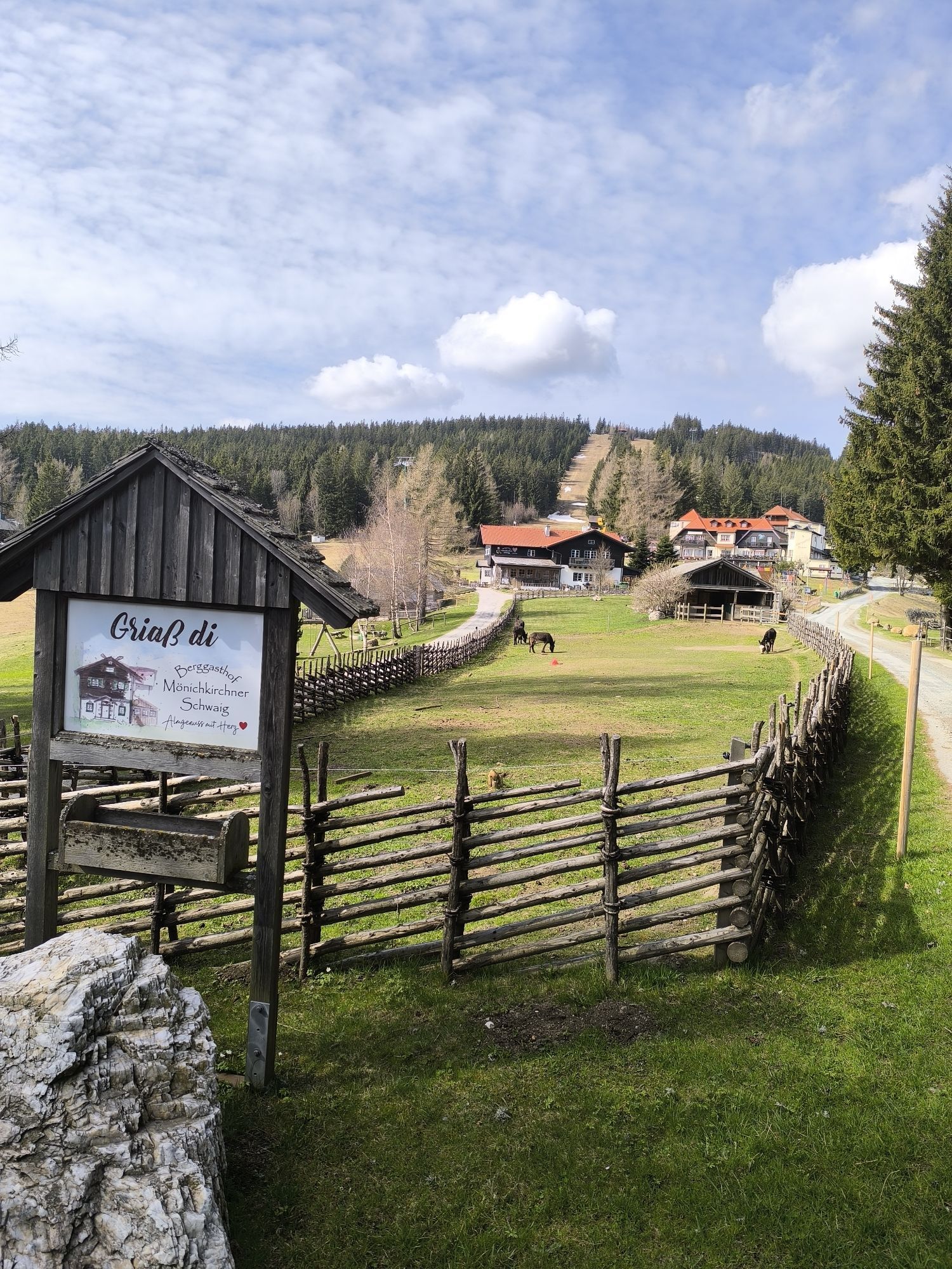
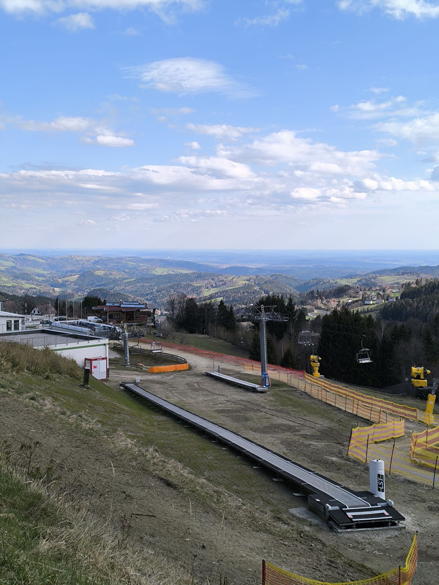
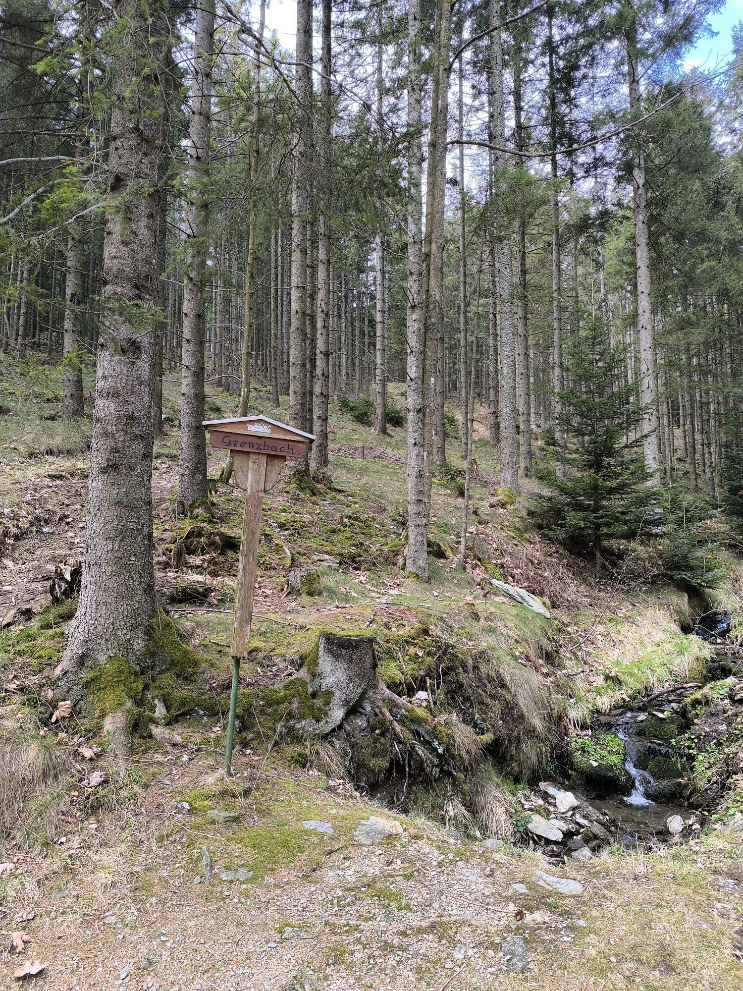
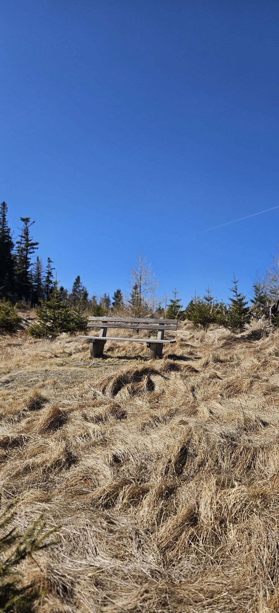
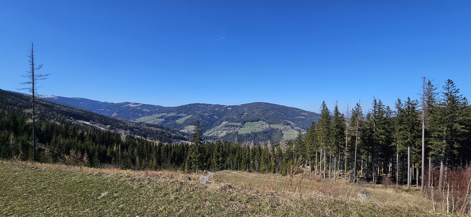
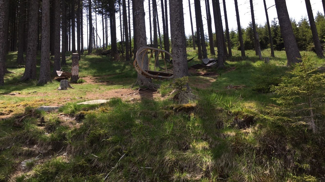
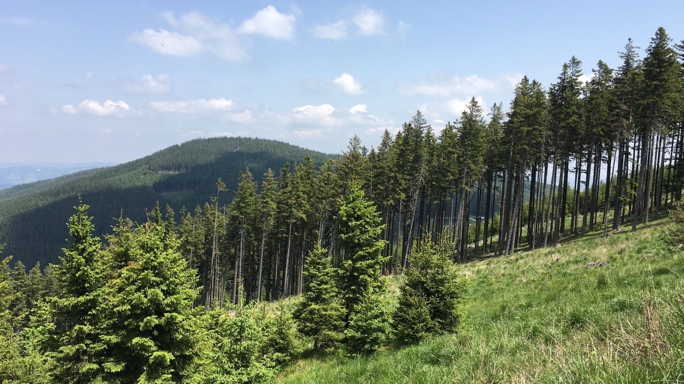
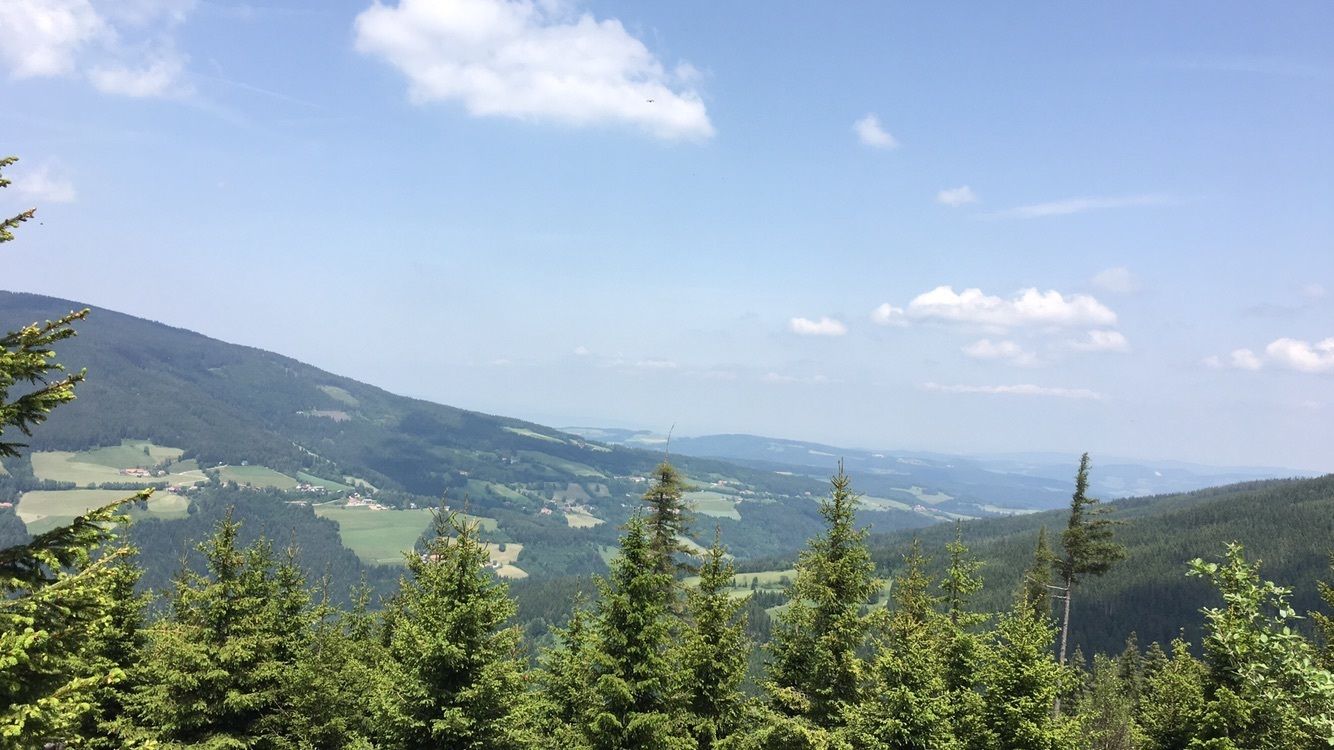
Výstup k Hallerhausu začíná od Elebnisalm Mönichkirchen. Podle toho, jak dlouho a daleko chcete jít, můžete buď vyjetlanovkou"Sonnenbahn"na Mönichkirchner Schwaig, nebo dojít k horní stanici lanovky "Lebenswasser"....
Výstup k Hallerhausu zaÄíná od Elebnisalm Mönichkirchen. Podle toho, jak dlouho a daleko chcete jít, můžete buÄ vyjetlanovkou"Sonnenbahn"na Mönichkirchner Schwaig, nebo dojít k horní stanici lanovky "Lebenswasser". Najdete zde nÄkolik míst, kde se můžete zastavit na obÄerstvení a pÅenocovat, a také dÄtská hÅištÄ. Než budete pokraÄovat dál, můžete si udÄlat krátkou zajížÄku k salaši Alpengasthof Enzian nebo k salaši Berggasthof Mönichkirchner Schwaig. K Hallerhausu dorazíte ponÄkud mimo vyšlapané cesty klidnými lesy. Horský hostinec založený v roce 1910 byl od svého otevÅení nÄkolikrát renovován a díky své snadné dostupnosti je nyní oblíbený mezi lyžaÅi v zimÄ a turisty v létÄ. Nenechte si ujít Blunzng'röstl s domácím Äerným pudinkem!
Mönichkirchen je také výchozím bodem pro etapu trasy Wiener Alpenbogen - oblouk VídeÅských Alp na Feistritzsattel, která vede kolem Hallerhausu.
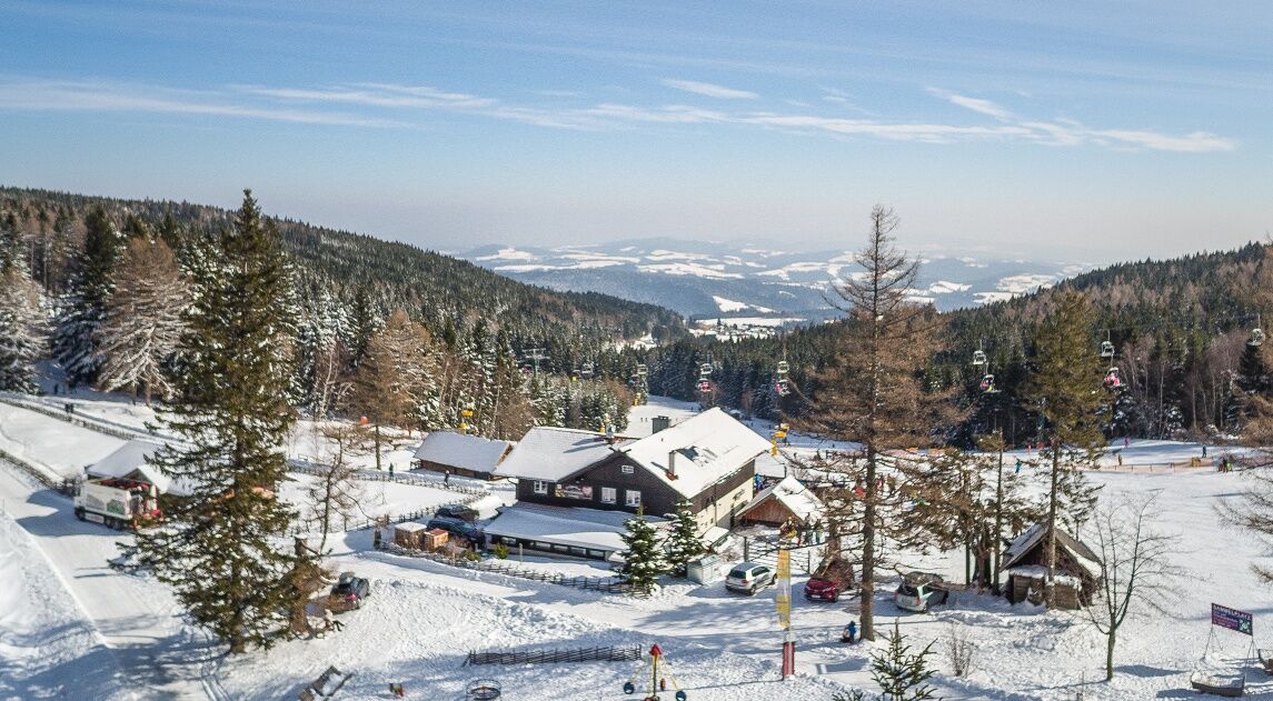

From the valley station of the Erlebnisalm Mönichkirchen, we follow a path along the lift to the mountain station. Right at the mountain station, we see the mountain inn Mönichkirchner Schwaig and also the Alpenhotel Enzian. We go past them on the left and see the Hallerhaus sign in front of the trees. Continue to keep left and follow the path. At the fork in the path, we go straight up the somewhat steep slope. We are on the first level, about halfway through the hike. At the next fork, we keep right again. We follow the path towards the next group of trees.
At the front tip of the group of trees, there is a signpost with signs "Loipe" and "Hallerhaus". We follow the path. We come to a wide path surrounded by fields and forest. After a few meters in this piece of forest, we have already reached our destination.
Sturdy footwear, poles (with snow baskets if snow is present), waterproof outdoor clothing, hat, gloves, scarf or multifunctional cloth, backpack, headlamp (days are shorter in winter), sunglasses, sun and/or cold protection, drinking bottle or thermos flask are indispensable in winter.
The route partly passes through forests and over unpaved paths. In case of snow, the paths are not cleared and may have icy or slippery spots. Use of the paths is at your own risk. It is recommended to be mindful of early dusk and to carefully plan the routes.
From Vienna coming on the A2 take the Edlitz exit, continue on the B54 Wechsel federal road and follow the signs to Mönichkirchen.
From Graz coming on the A2 take the Pinggau exit towards Friedberg and follow the signs to Mönichkirchen.
Take the regional train from Wiener Neustadt station to Aspang, then continue by regional buses to Mönichkirchen.
Further information can be found at www.oebb.at , www.vor.at
Parking spaces are available at the valley station of the Erlebnisalm Mönichkirchen.
Vienna Alps in Lower Austria, www.wieneralpen.at, +43 / 2622 / 78960
Erlebnisalm Mönichkirchen, www.schischaukel.net
Combine your hike with a stay at Wechsel, for example at the Alpenhotel Enzian or the Bed and Breakfast Koderholt. Now bookable!
Získejte přehled
Vždy živě na místě s více než 9 500 webkamerami. bergfex Jako uživatel Pro si nyní můžete zobrazit odpovídající webové kamery pro mnoho prohlídek v aplikaci prohlídky z. Můžete si tak přímo prohlédnout aktuální podmínky.
Oblíbené prohlídky v okolí
-
4.8
Hochwechsel-Runde, Waldbach-Mönichwald
středníTrailrunning 17.9 km -
3.7
Schwaigen Rundwanderung
světloTuristika 8.24 km -
3.8
St. Corona - Kampstein
středníTuristika 10.7 km -
4.6
Mariensee - Wildwasserweg - Marienseer Schwaig
světloTuristika 8 km -
4.5
Rabl-Kreuz-Hütte auf den Hochwechsel
světloSněžnice 9.87 km -
4.5
Hochwechsel
středníTuristika 14.3 km -
4.7
Hochwechsel - Tour
Turistika 18.5 km -
4.7
Hochwechsel und Arabichl ab/bis Mariensee
středníTuristika 17.5 km -
4.0
Bucklige Welt: Burg Grimmenstein und Kulmriegel
světloTuristika 10.5 km -
4.7
Aspang Hochwechsel Panorama-Runde Wexl Trails mit "The WU" 2018
středníMountainbike 57.5 km
Pěší turistika a stopování


Nenechte si ujít nabídky a inspiraci pro vaši příští dovolenou
Vaše e-mailová adresa byl přidán do poštovního seznamu.





