






Wandern im Winter im Naturpark Falkenstein
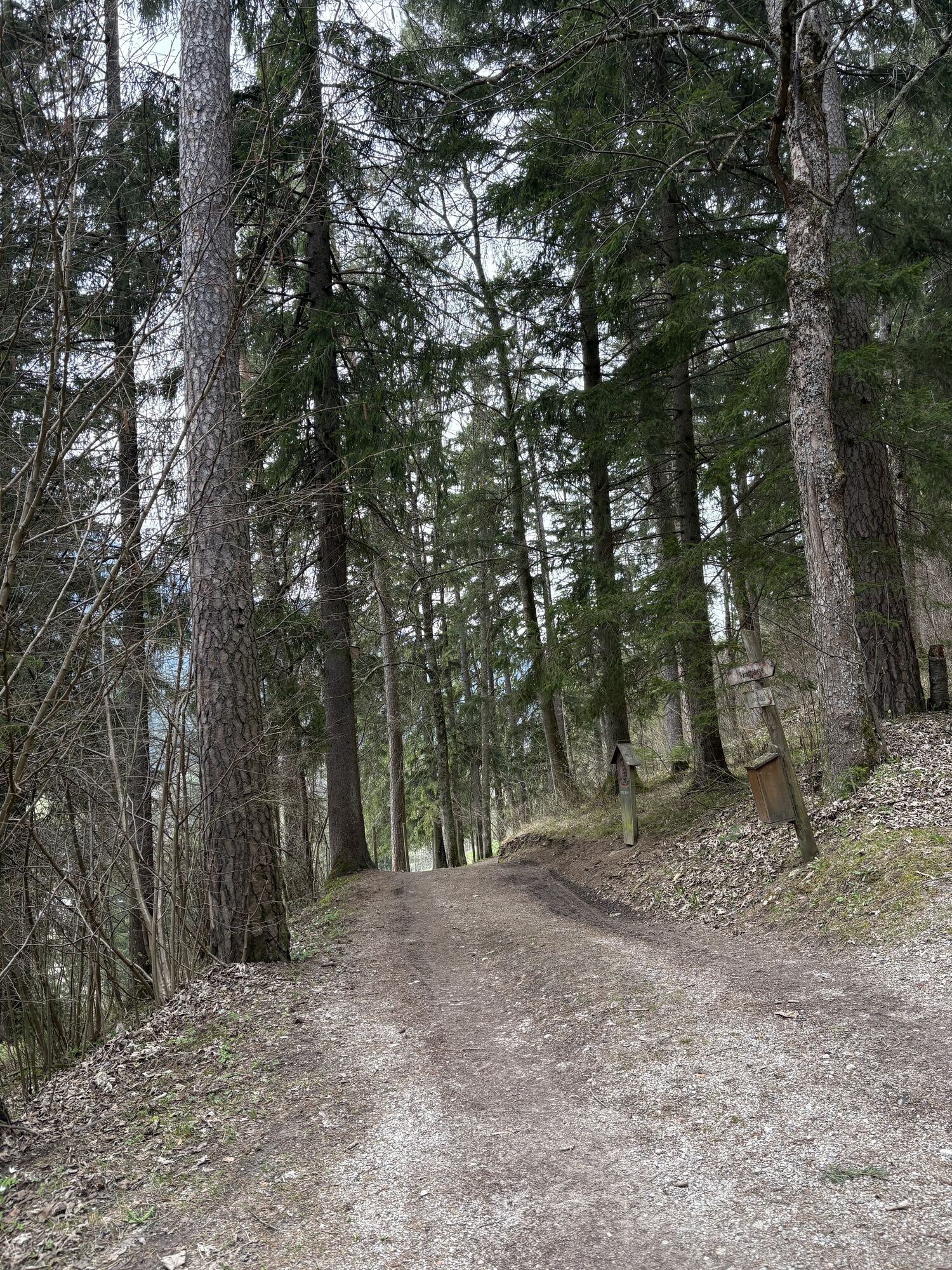
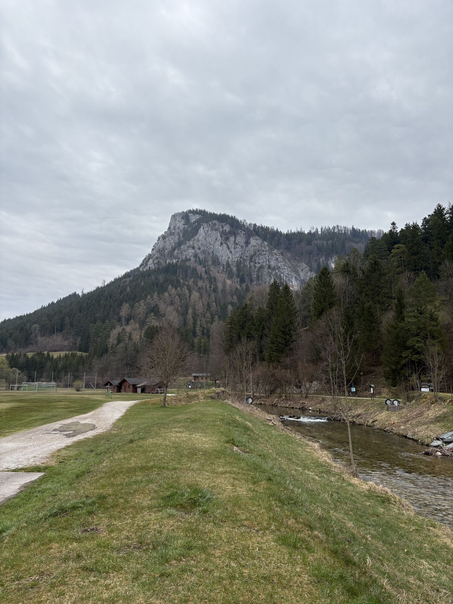
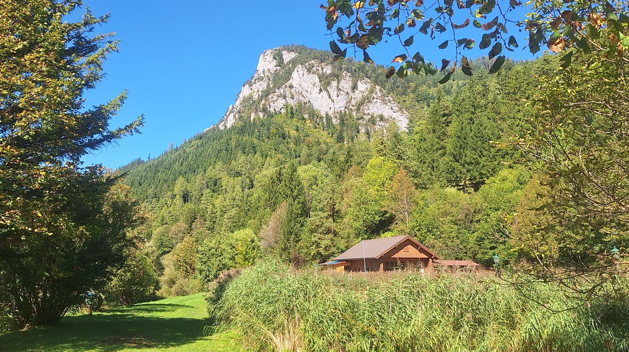
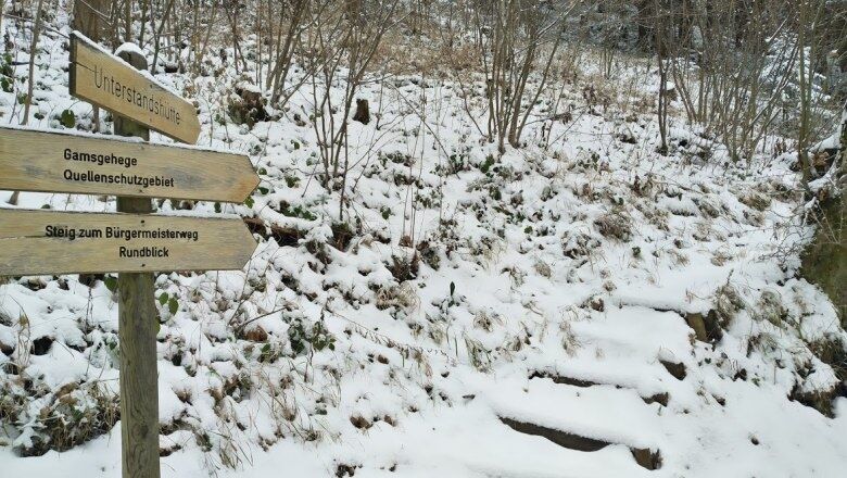
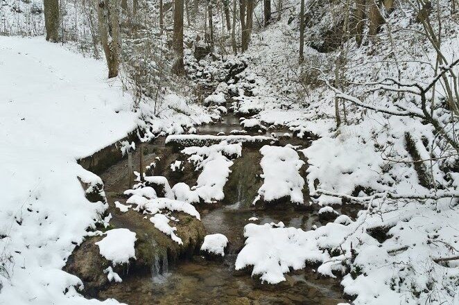
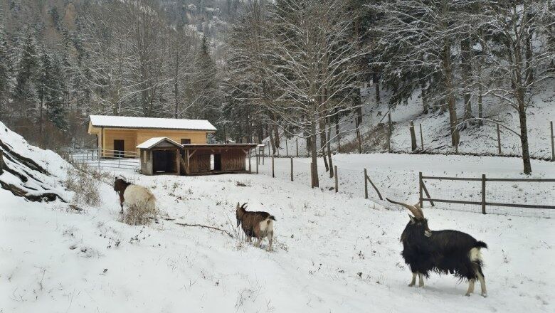
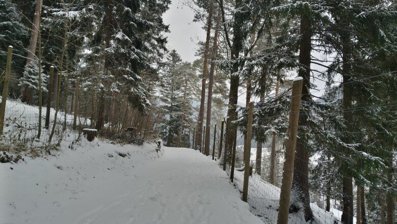
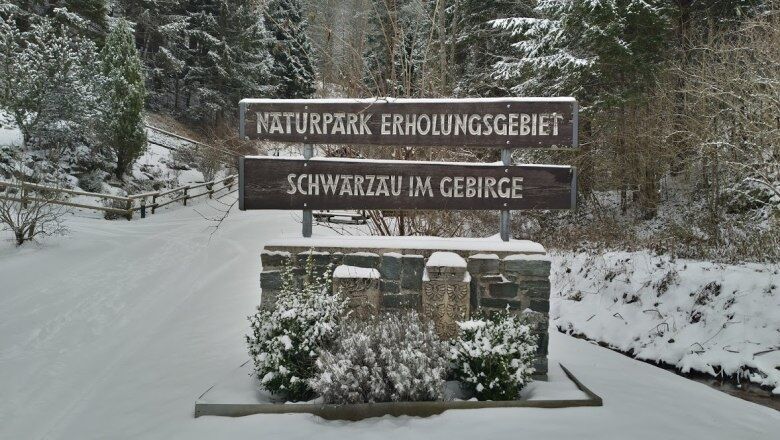
Oblíbený přírodní park Falkenstein se nachází v malé idylické obci Schwarzau im Gebirge. Je to nádherné místo k poznávání krásné krajiny a zvířat, a to i v zimě. Procházka vede po naučné rybí stezce, kolem...
Oblíbený pÅírodní park Falkenstein se nachází v malé idylické obci Schwarzau im Gebirge. Je to nádherné místo k poznávání krásné krajiny a zvíÅat, a to i v zimÄ. Procházka vede po nauÄné rybí stezce, kolem dÄtského hÅištÄ a smÄrem k zoologické zahradÄ.
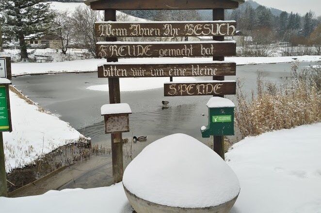
PÅírodní park je volnÄ pÅístupný po celou dobu - pokud se vám návštÄva zalíbí, můžete u vstupu do pÅírodního parku (naproti kiosku) pÅispÄt malou Äástkou.

Always carry suitable maps. Wear sturdy shoes adapted to the route, bring sun and rain protection as well as water and a snack. Take your mobile phone and save the mountain rescue emergency number: 140
Your hikes in the Vienna Alps should be a thoroughly pleasant and safe experience.
Please observe the following:
Make sure the chosen route matches your fitness. Check the weather report in advance. Always set out properly equipped (sturdy footwear, winter hiking gear). Check if the huts and snack stops you want to visit on the way are open. Inform someone about your route choice and your planned return before you start. Stay on marked paths and avoid shortcuts. Do not litter and dispose of waste properly.
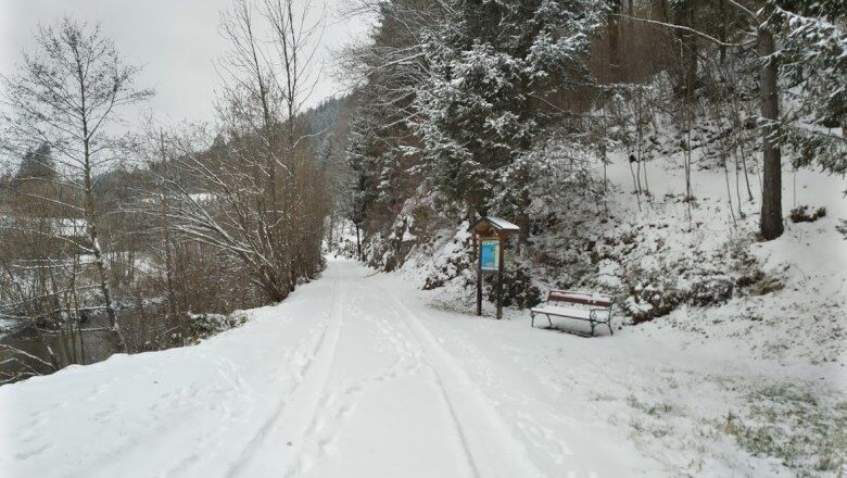
Warning, this winter hiking trail may not be fully cleared in snowy conditions and can have slippery spots. Use is at your own risk! Also keep in mind that in winter, markings may be invisible due to snow, so prepare well for your tour! Pay attention to the early dusk and plan your tours carefully.
Mountain rescue: 140
EU emergency number: 112
From Vienna, take the A2 South Motorway to the S6 Semmering Expressway and take the Gloggnitz exit. Drive via the B27 towards Payerbach/Reichenau and through the Höllental to Schwarzau im Gebirge.
From Graz, take the S6 Semmering Expressway and take the Gloggnitz exit. Drive via the B27 towards Payerbach/Reichenau and through the Höllental to Schwarzau im Gebirge.
Travel by train to Payerbach-Reichenau station. From there, bus line 341 runs to the "Schwarzau im Gebirge Ortsmitte" stop, where the hiking starting point is located.
Alternatively, you can book an individual ride with the RUFbus Semmering-Rax, which will take you to the hiking start point.
RUFbus stops along the way:
PB6 Payerbach station
SW7 Falkenstein Nature Park
More info: www.oebb.at and www.vor.at
Parking spaces are available at the Nature Park.
Refreshment options:
Further information:
Tourism Association Semmering-Rax-Schneeberg, +43 660 900 88 22
Refreshments at the Café Naturpark opposite
Oblíbené prohlídky v okolí
-
4.6
Losenheim: Edelweißhütte - Fadensteig - Fischerhütte
středníTuristika 11.5 km -
4.7
Zahnradbahn und Wandern am Schneeberg - Plateauwanderung
středníTuristika 6.90 km -
4.8
Rax - Heukuppe
Turistika 15.6 km -
5.0
"Weichtalklamm" über Stock und Stein durch das Höllental - Weichtalhaus - Kientallerhütte 1340m
středníTuristika 14.0 km -
4.9
Insider tip: Schneeberg via the Novembergrat
heavyTuristika 13.5 km -
4.9
Reißtalersteig und Gretchensteig
heavyTuristika 8.10 km -
4.9
RAX Preiner Gscheid Waxriegel Predigtstuhl Heukuppe Karl L.Haus ret. 20210908
středníTuristika 12 km -
4.9
SCHNEEBERG Losenheim Nandlgrat Klosterwappen Fadenweg 28.09.2017
heavyTuristika 15 km -
4.9
"Über den höchsten Nieder-Ösi" - Schneeberg - Weichtalklamm - Klosterwappen - Stadlwandleiten
středníTuristika 17.7 km -
4.8
RAX Hinternaßwald Reißtalklamm Bärenlochsteig Habsburghaus Kaisersteig retour 01.08.2017
heavyTuristika 15.6 km
Pěší turistika a stopování


Nenechte si ujít nabídky a inspiraci pro vaši příští dovolenou
Vaše e-mailová adresa byl přidán do poštovního seznamu.





