






Hiking in winter to the Fadensattel
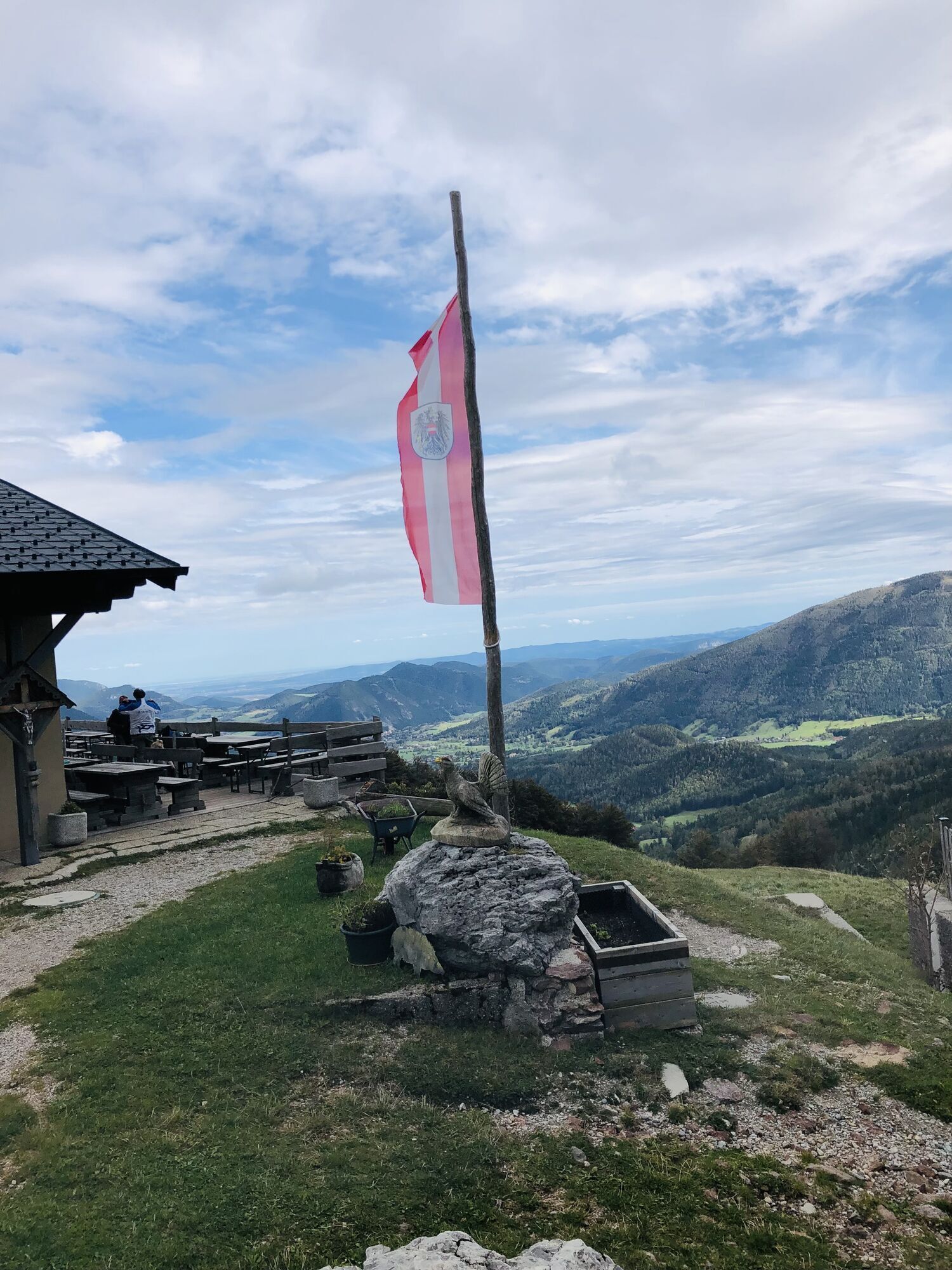
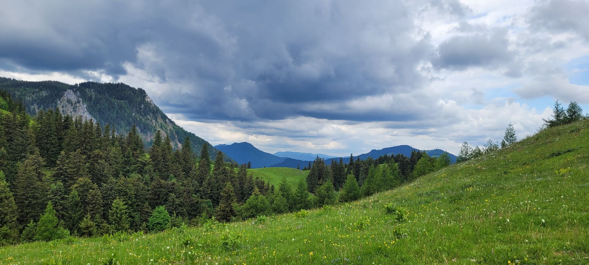
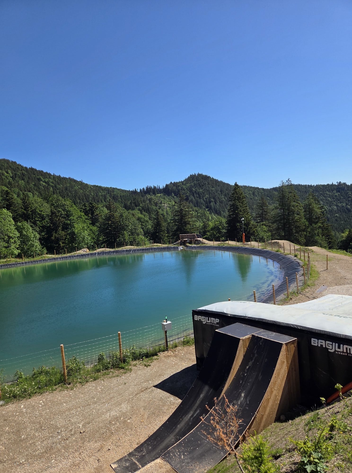
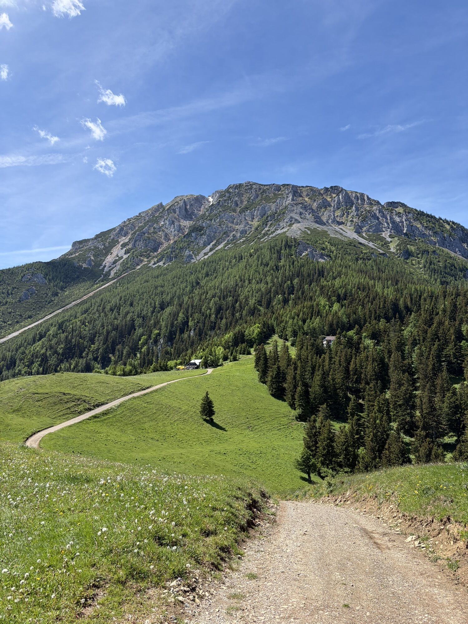
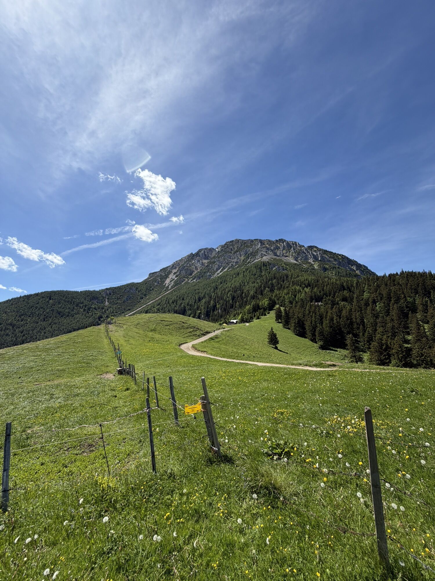
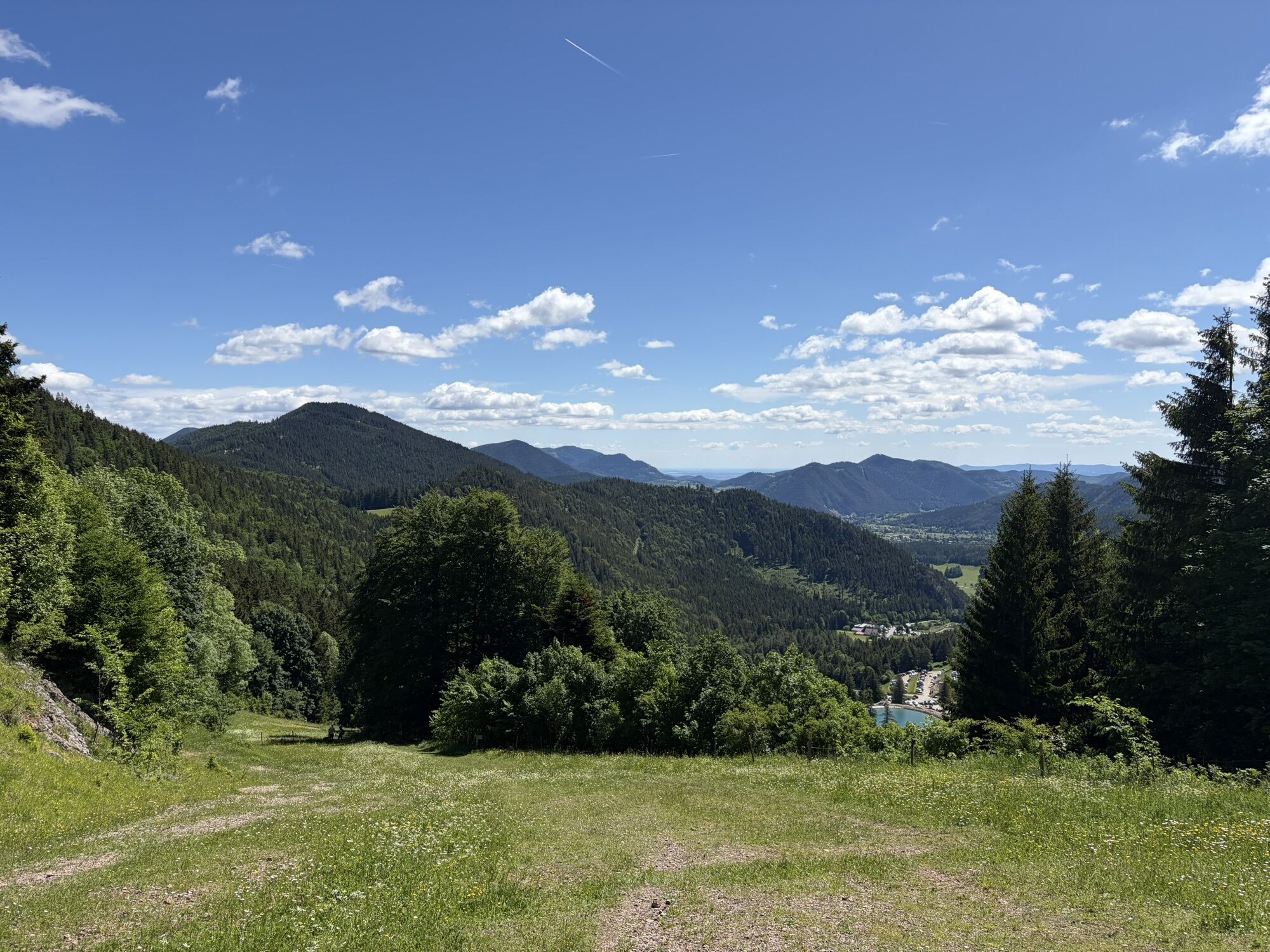
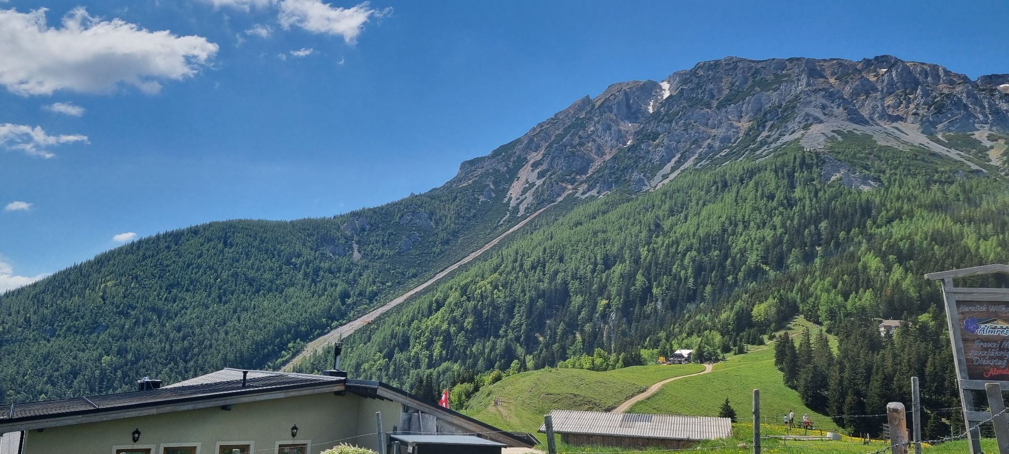
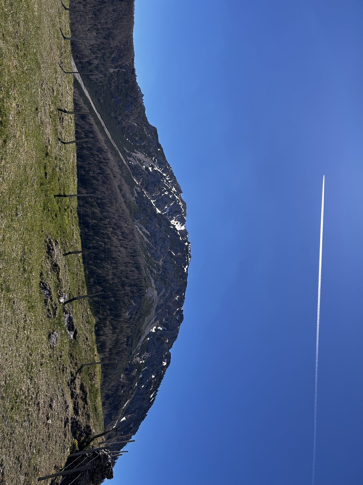
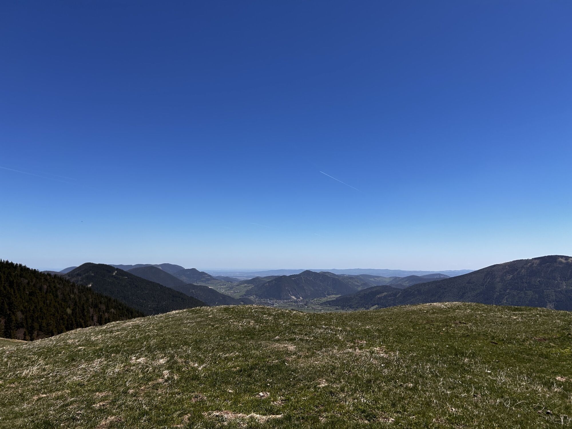
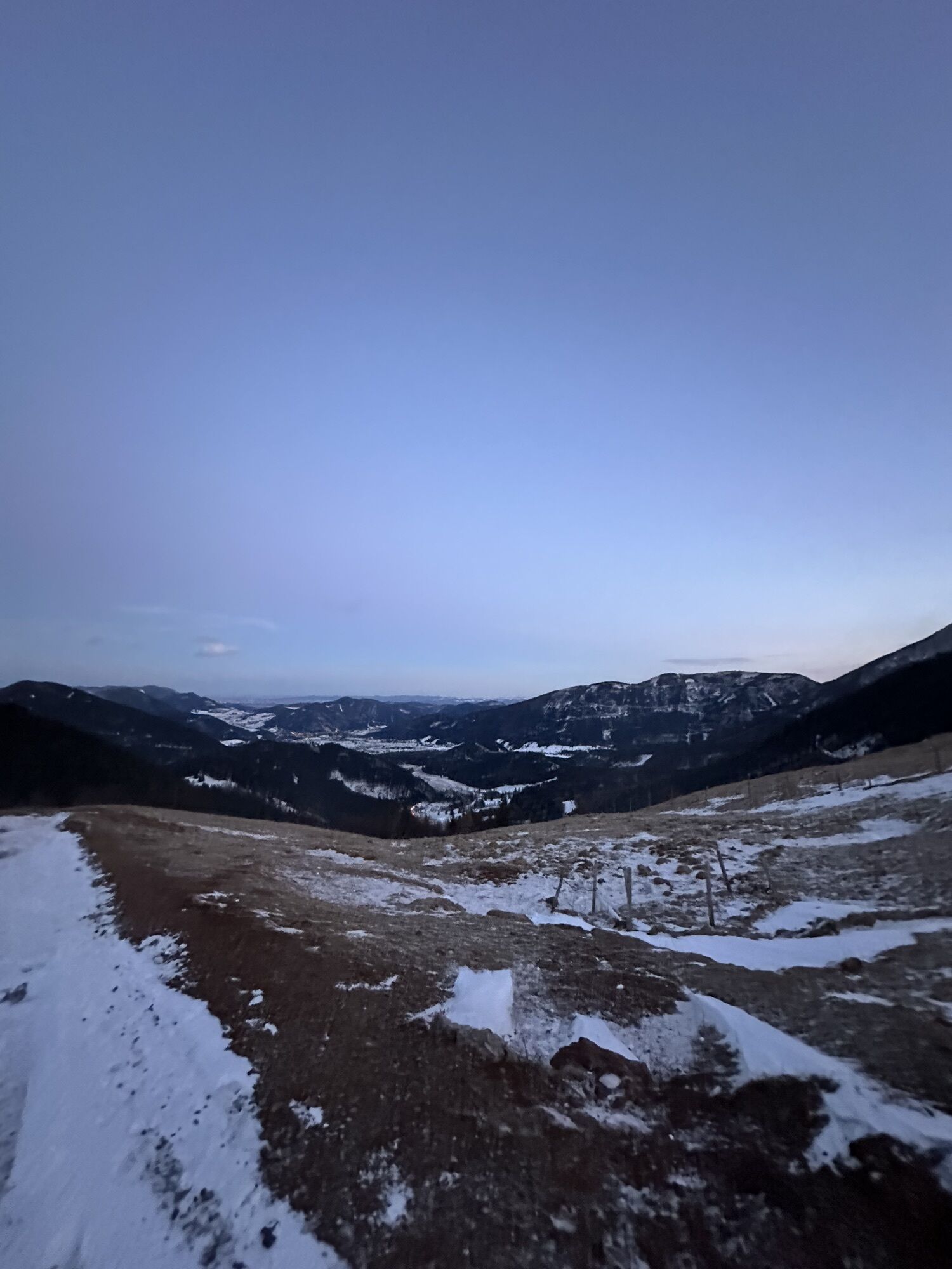
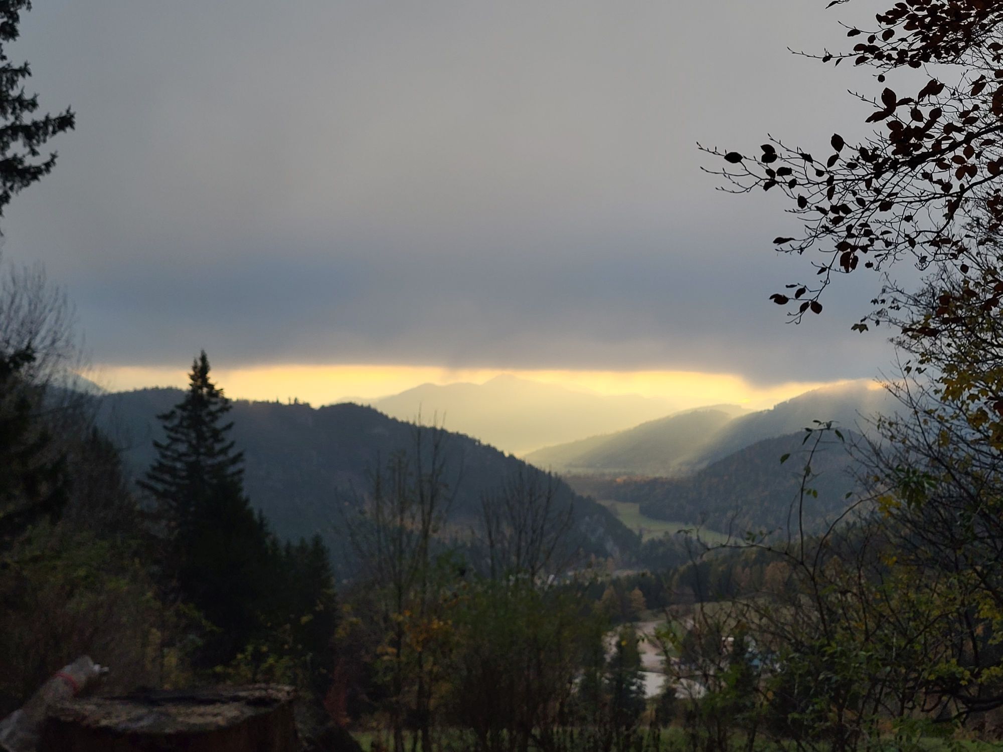
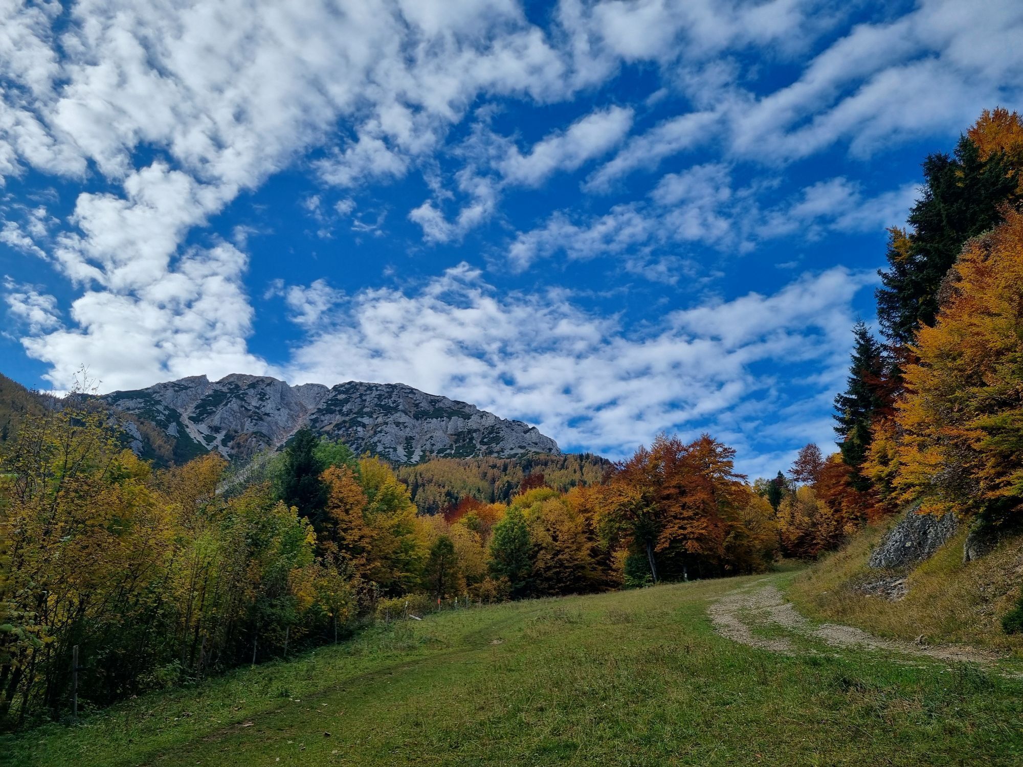
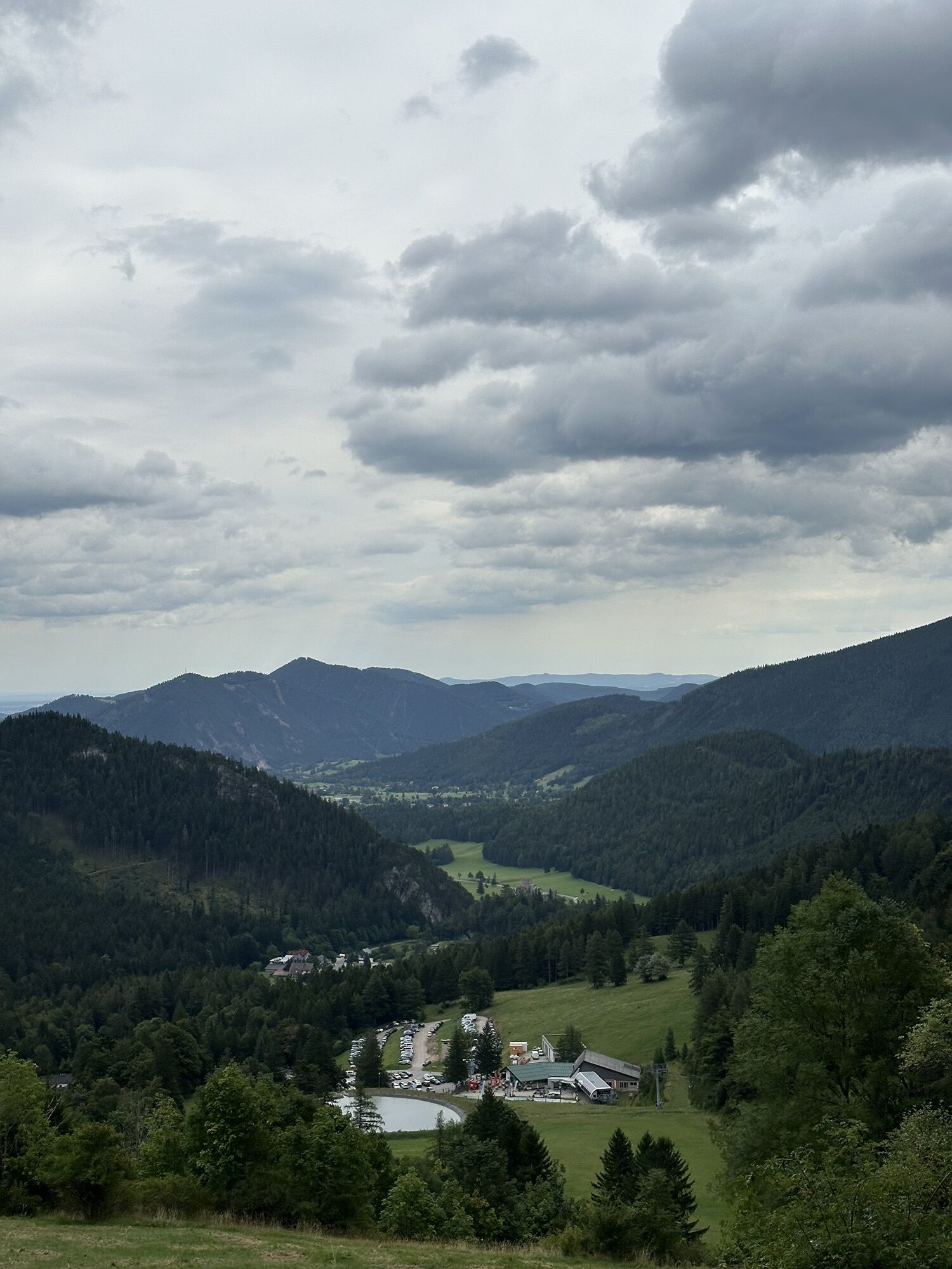
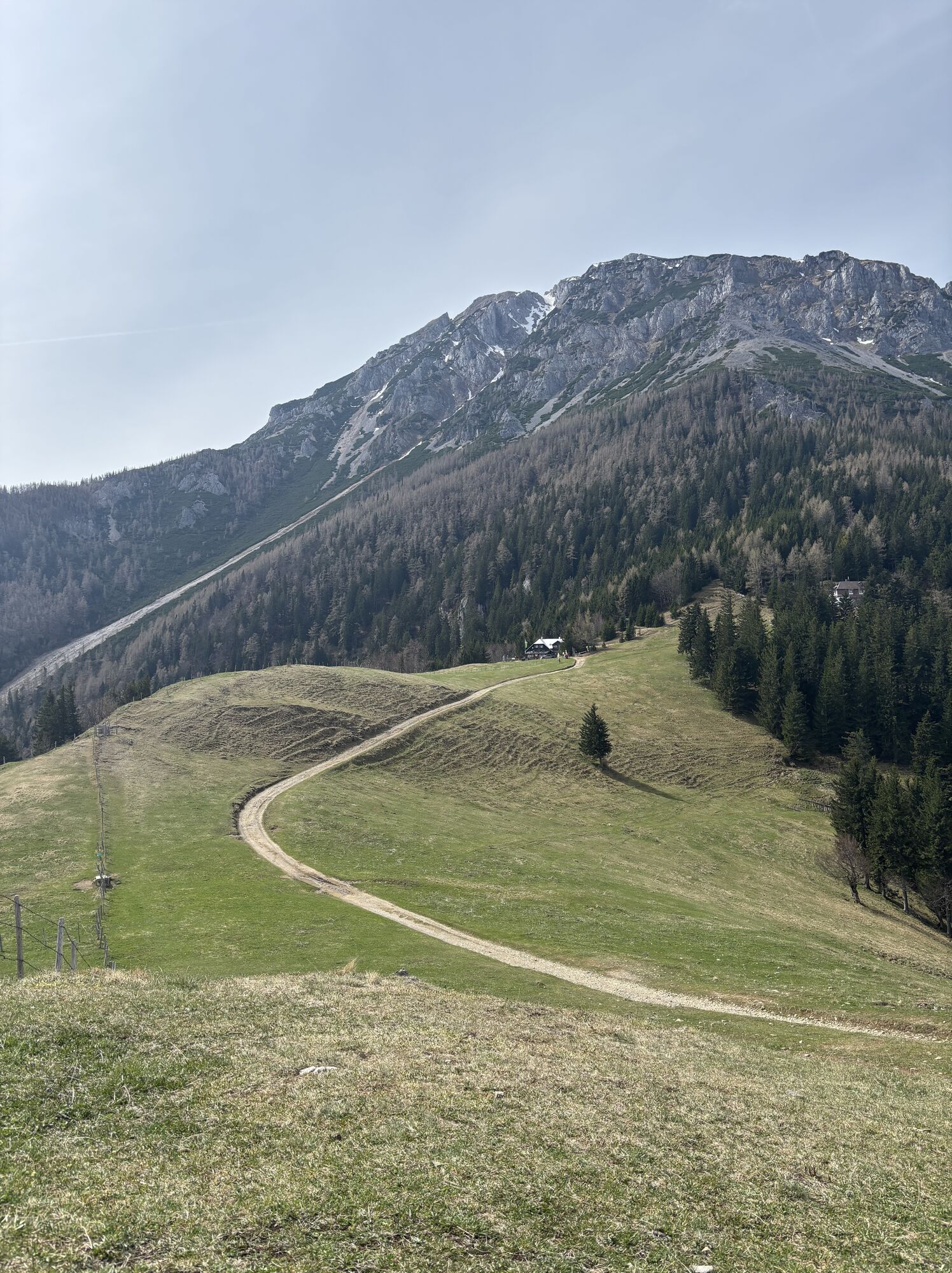
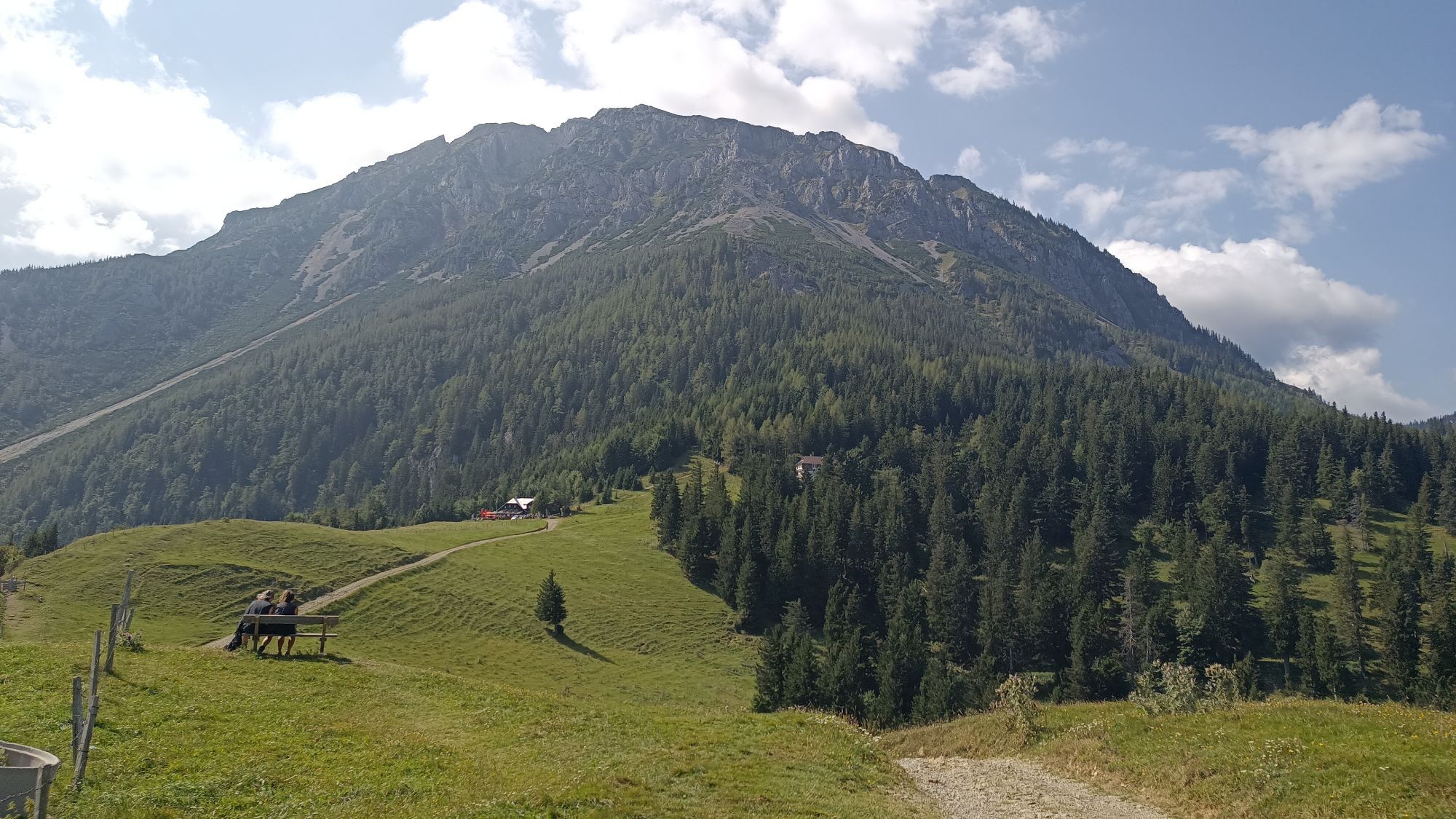
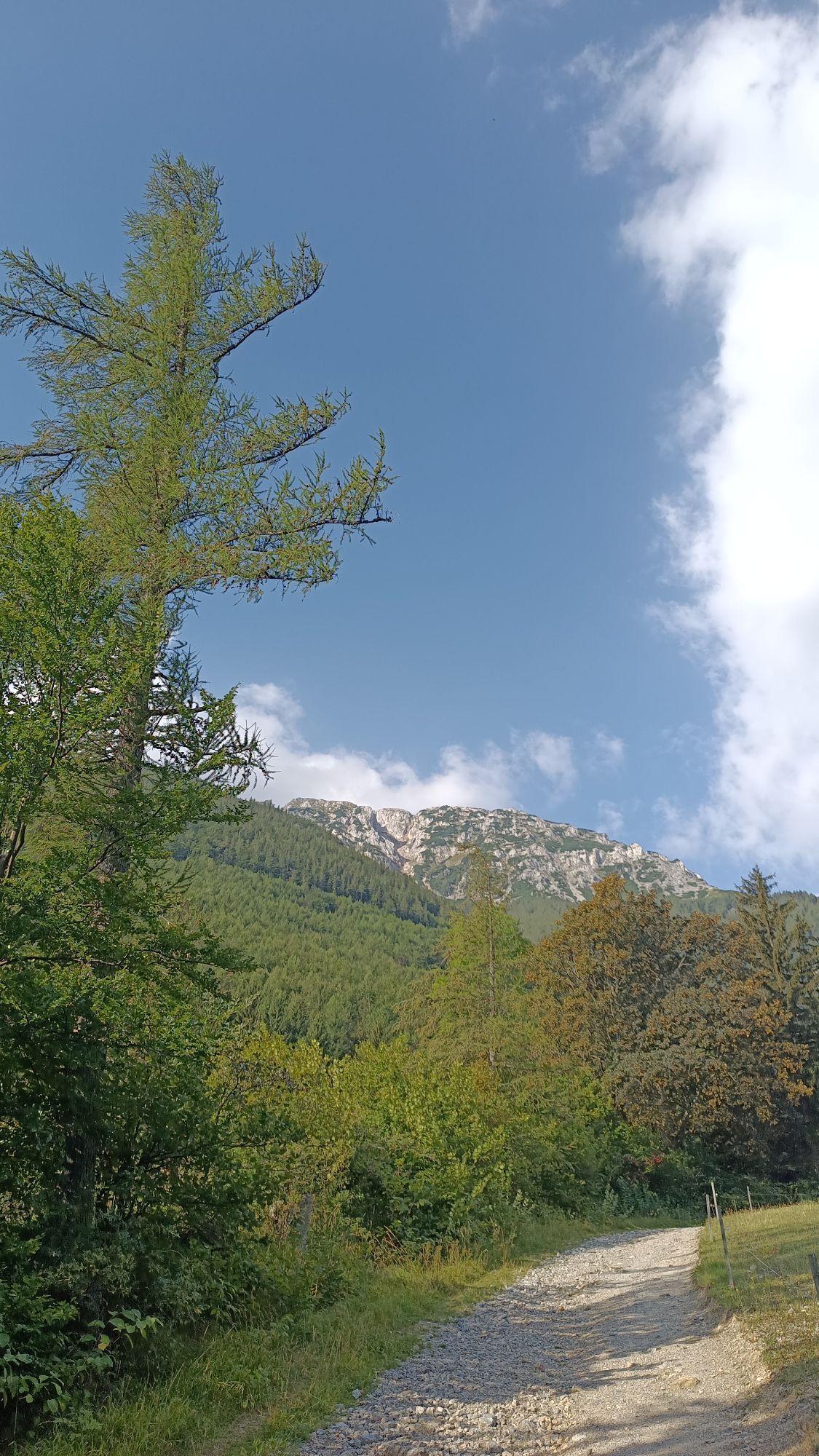
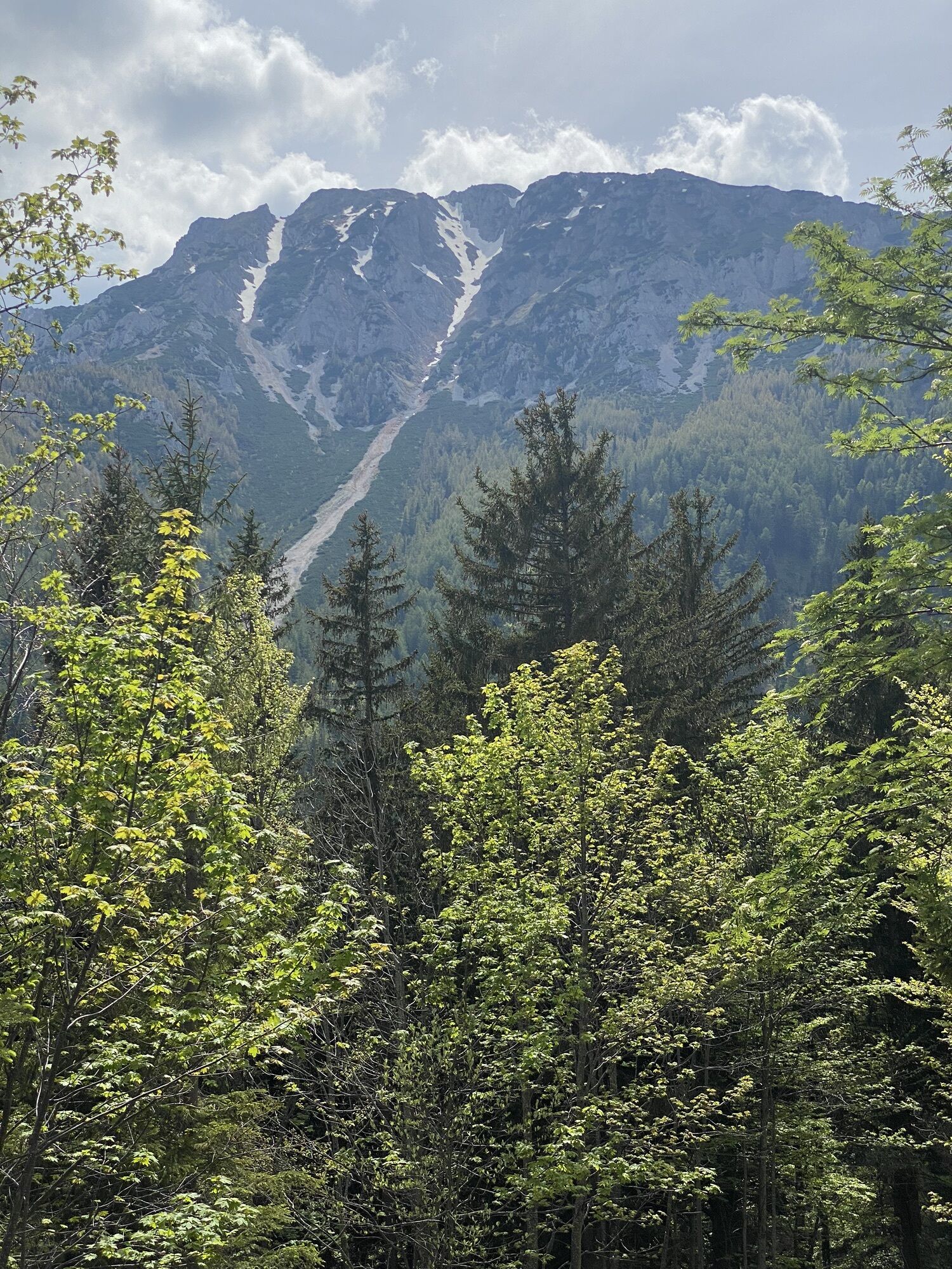
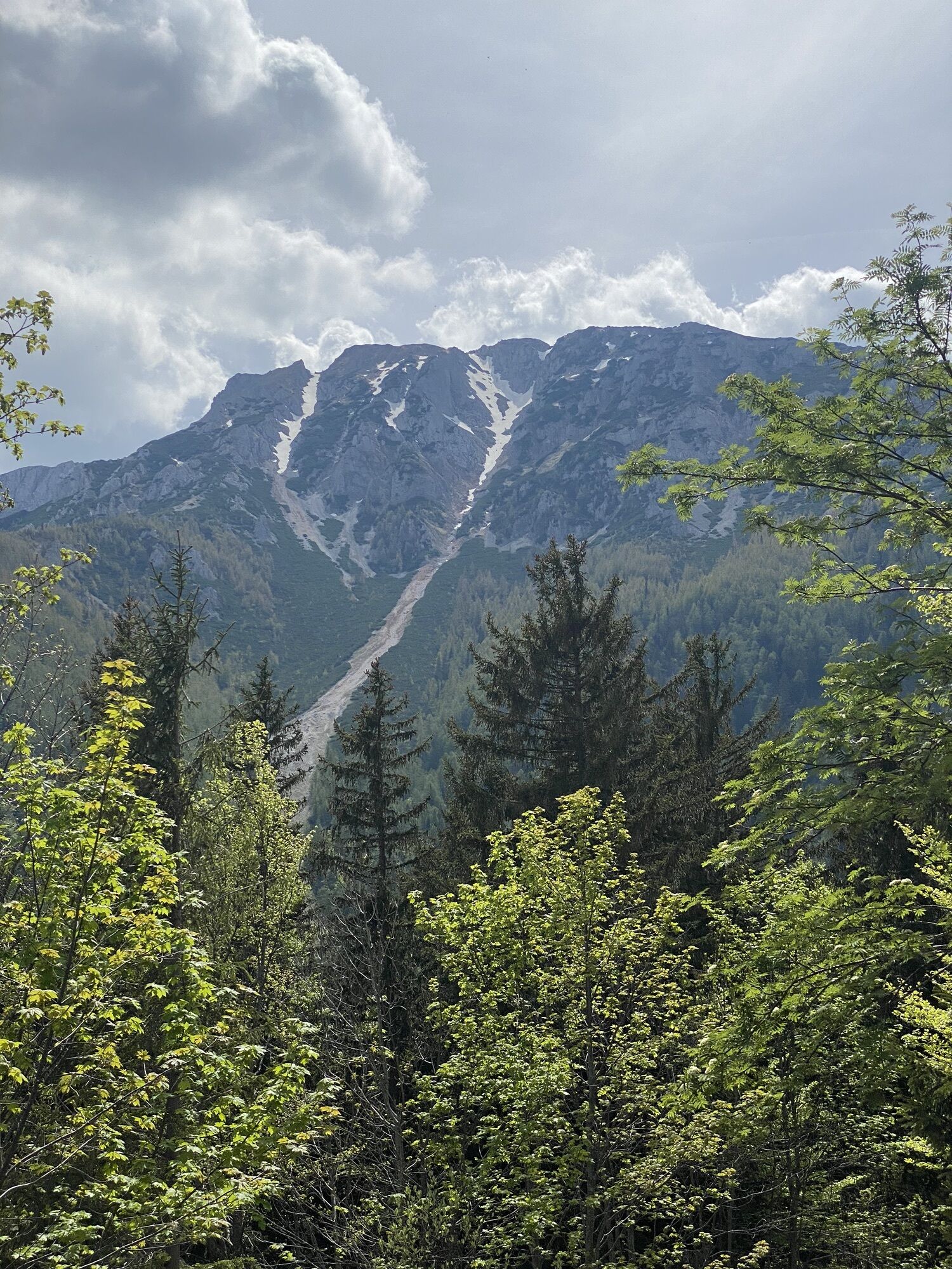
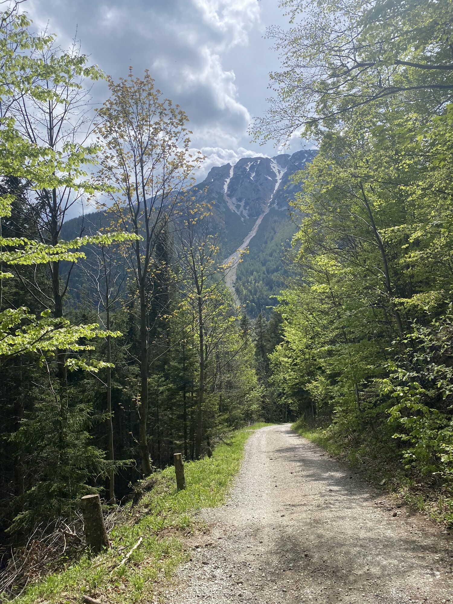
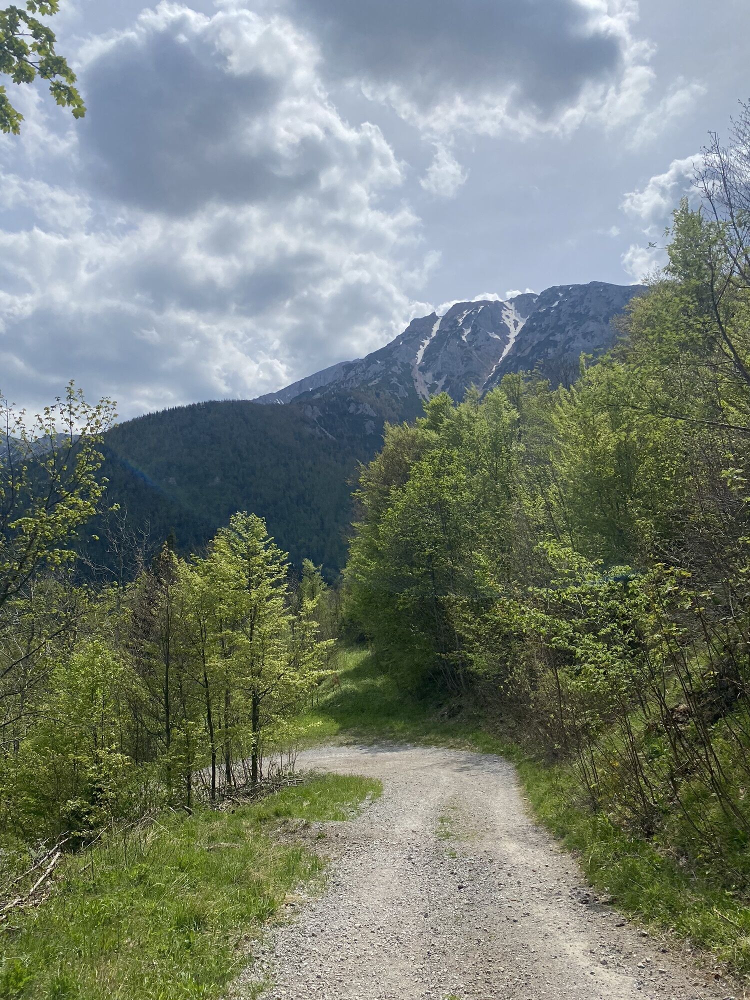
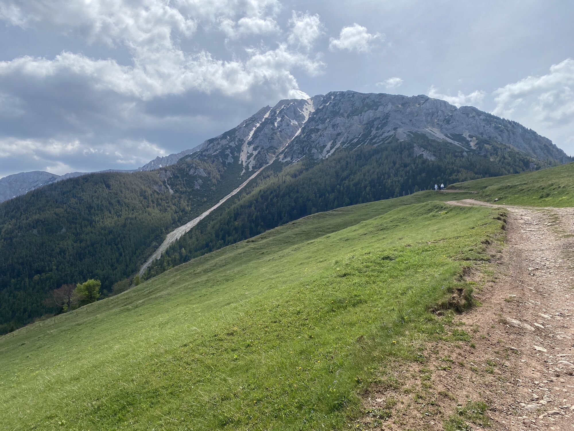
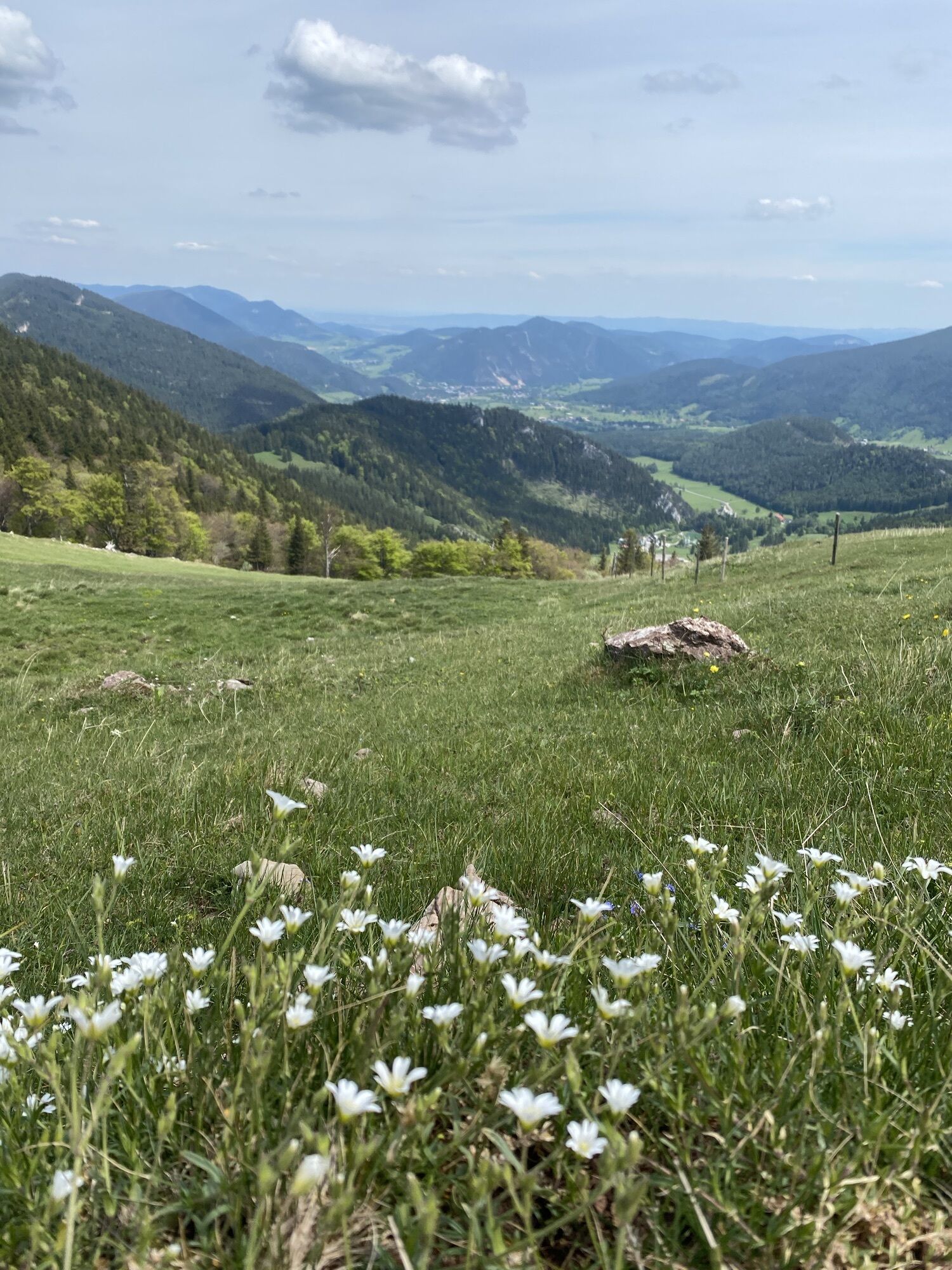
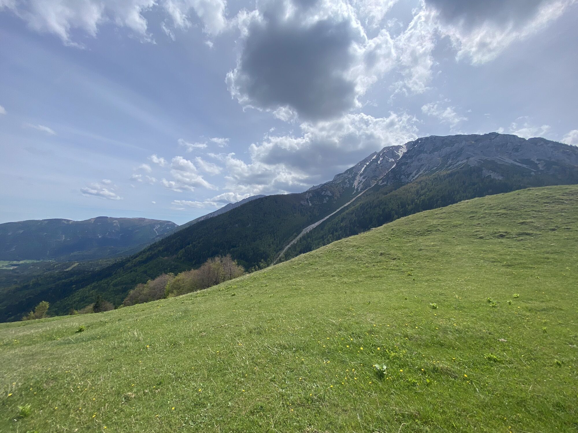

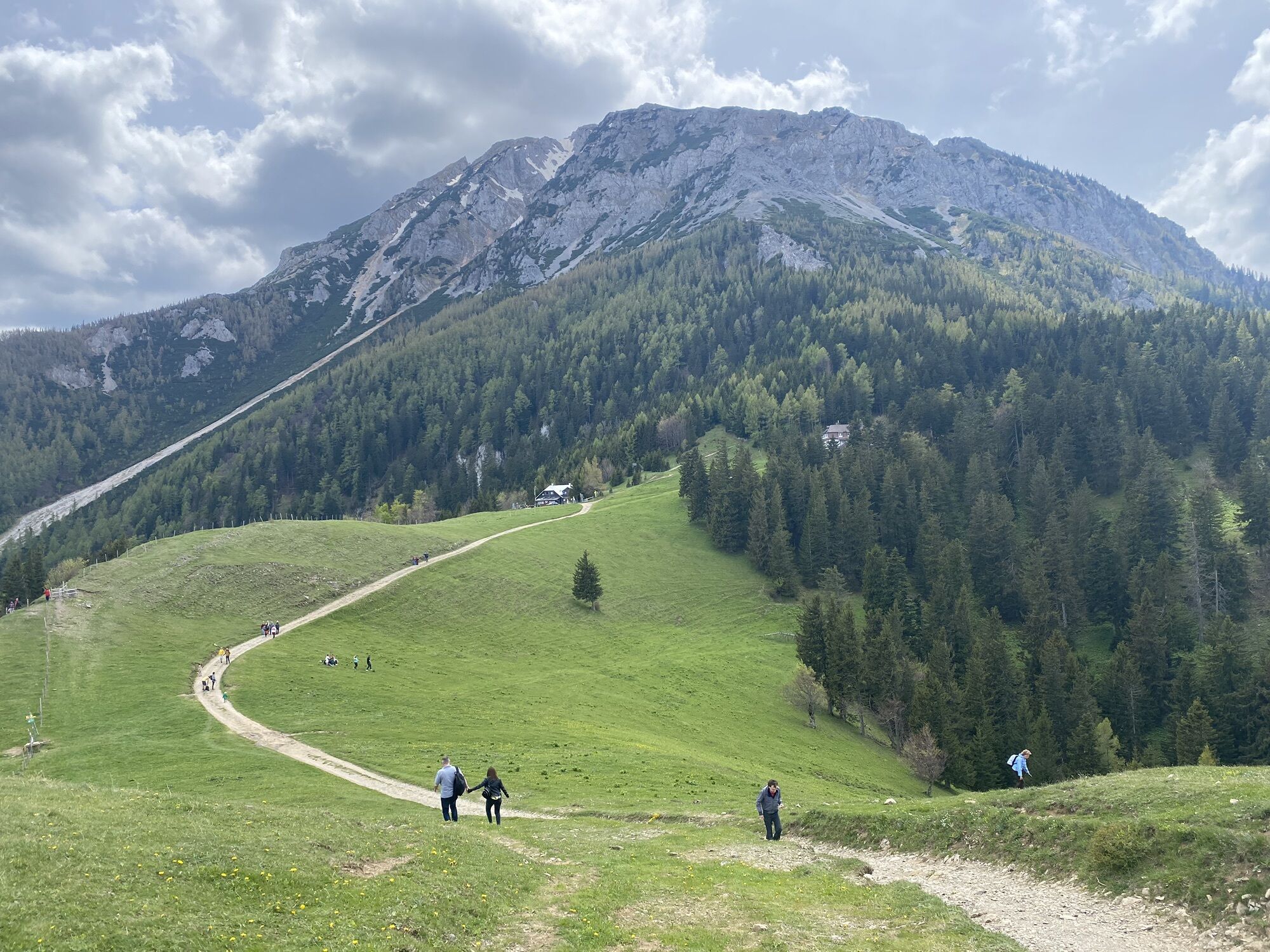

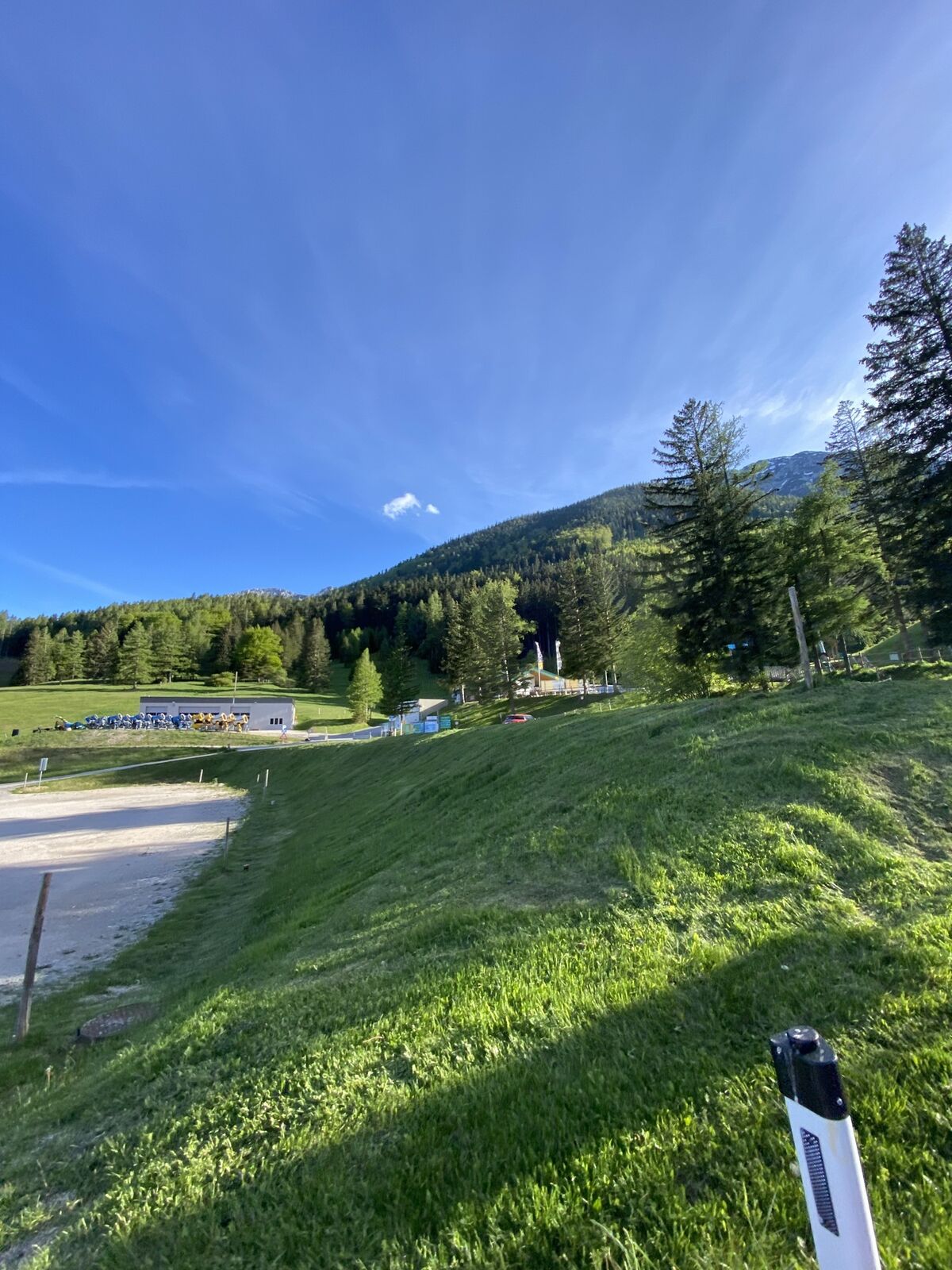

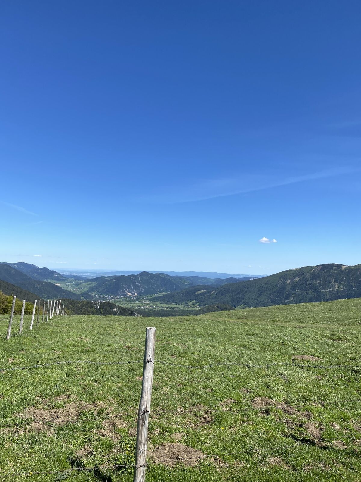
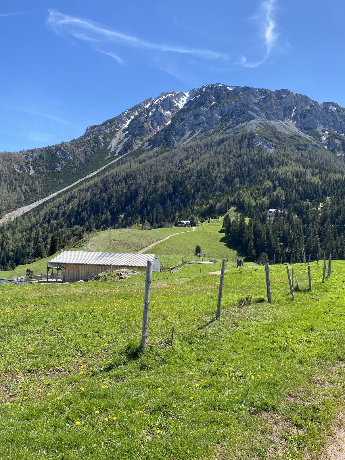
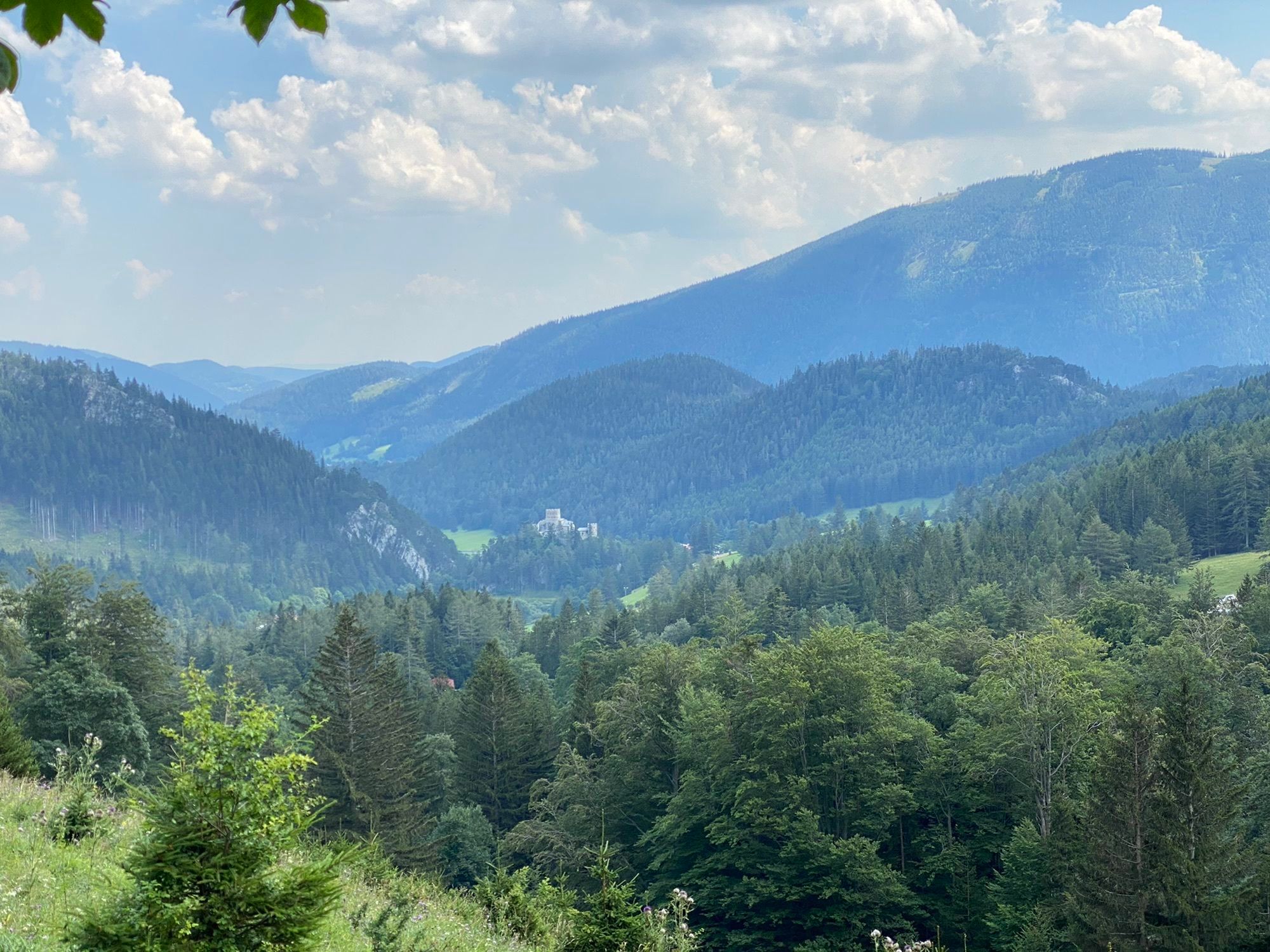
The starting point is the parking lot of the Schneeberg chairlift in Losenheim. From there, it goes over the forest path to the Fadensattel and back.
Please consider the information on altitude meters,...
<p>The starting point is the parking lot of the Schneeberg chairlift in Losenheim. From there, it goes over the forest path to the Fadensattel and back.</p><p>Please consider the information on altitude meters, route length, and walking time when planning your hike to ensure the route remains a pleasant experience for the whole family. </p>

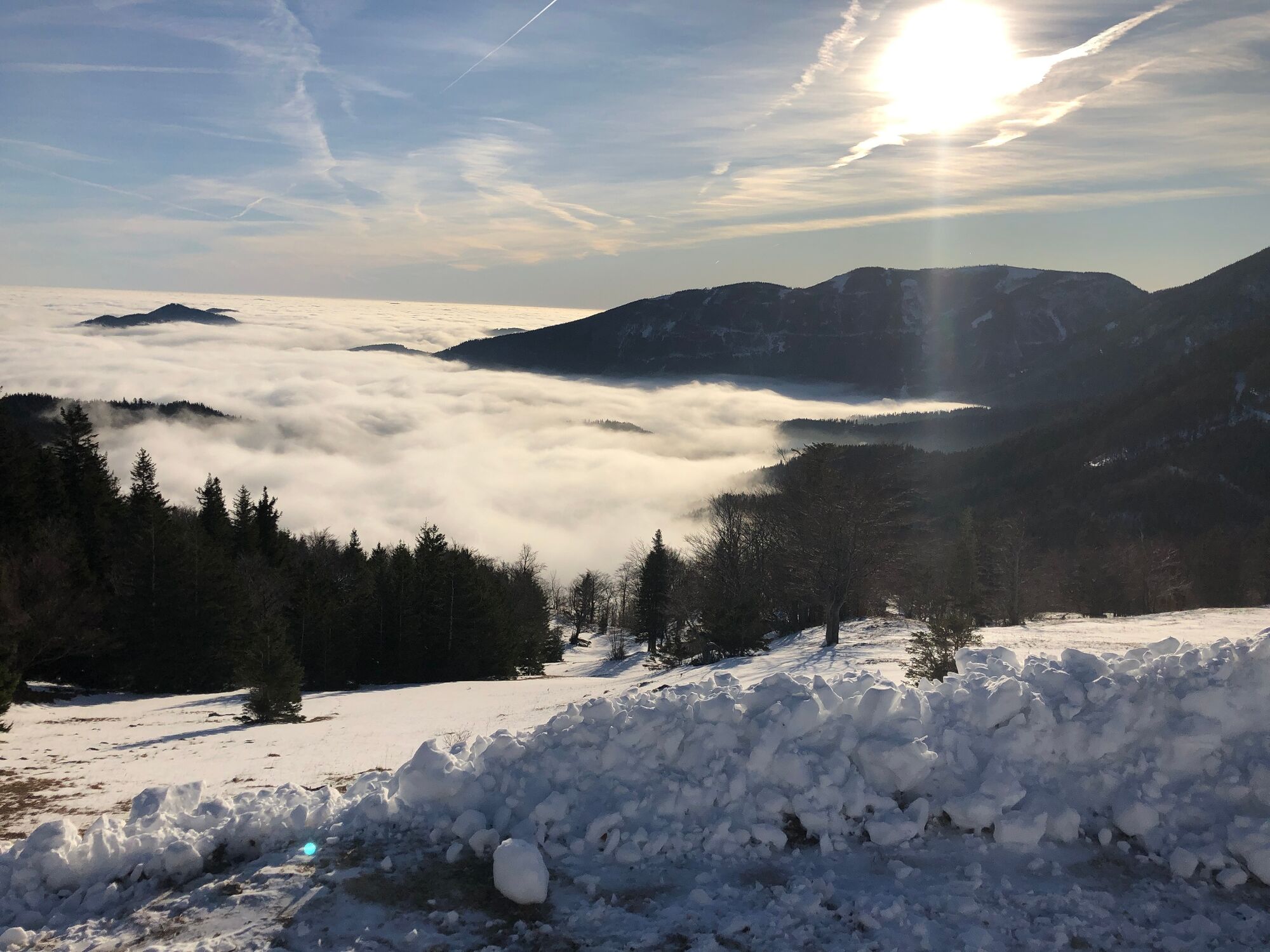
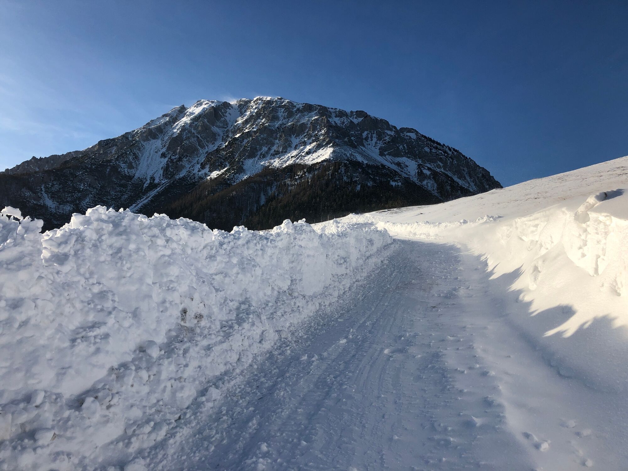

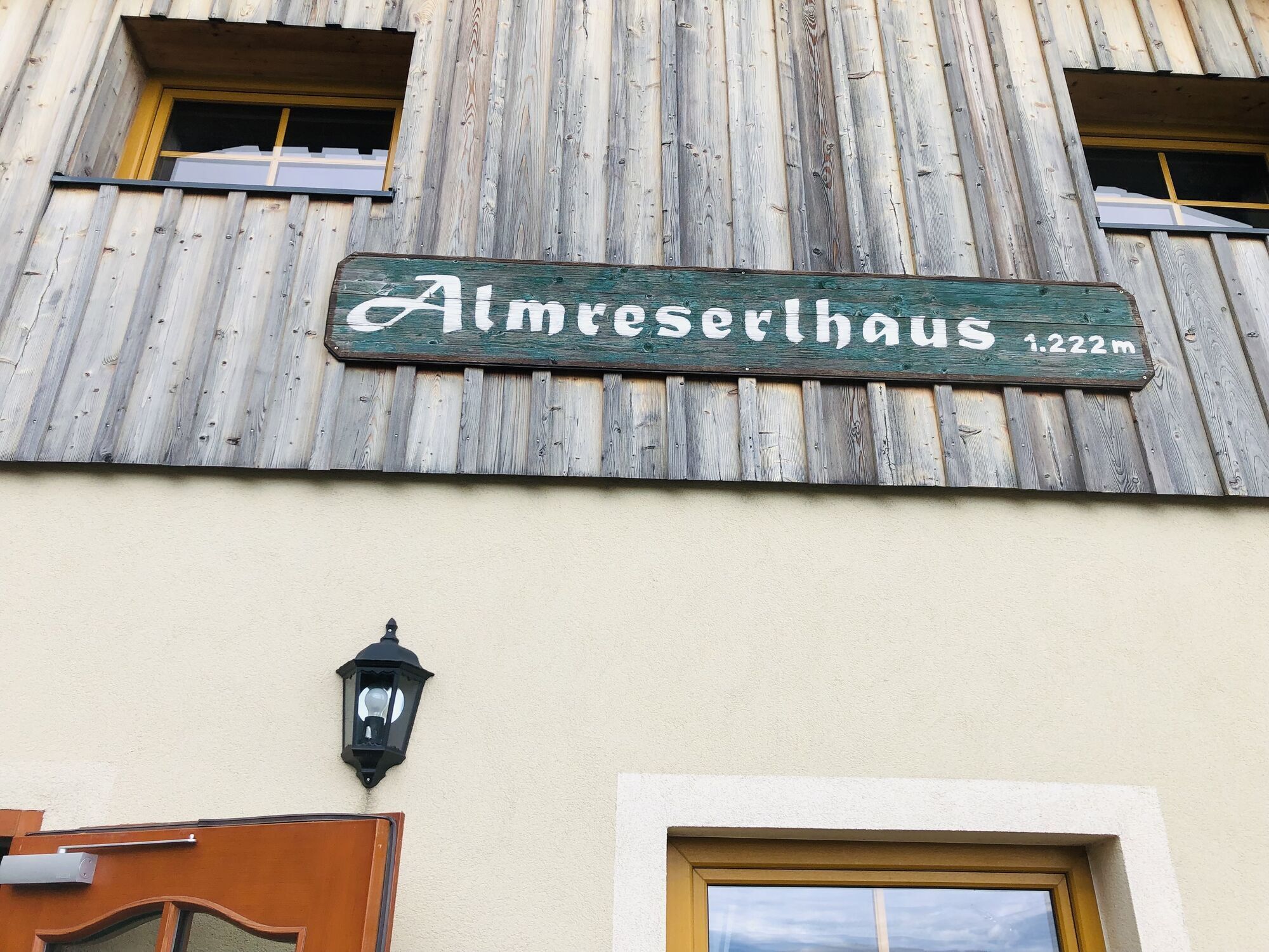
<p>From the parking lot of the Schneeberg chairlift we walk comfortably over a forest path to the Fadensattel. Dining options at the Almreserlhaus and the Edelweißhütte at the Fadensattel and at Ins Lift (currently closed) at the valley station of the Schneeberg chairlift. Return to the starting point via the same route.</p>
<p>Sturdy footwear, poles (with snow baskets in snow), waterproof outdoor clothing, hat, gloves, scarf or multifunctional cloth, backpack, headlamp (days are shorter in winter), sunglasses, sun and/or cold protection, water bottle or thermos (protection against cold).</p>
<p>The route partly runs through forests and over unpaved paths. In snowy conditions, the paths are not cleared and can have icy or slippery spots.</p><p>Use of the paths is at your own risk. It is recommended to be aware of early dusk and to plan the routes carefully. </p>
<p>On the South Motorway A2, exit Wr. Neustadt West, B26 towards Puchberg or South Motorway A2, exit Wöllersdorf, B21 towards Puchberg</p>
<p>TRAIN</p><p>Vienna – Main Station – Wr. Neustadt (change trains) – Puchberg</p><p>Direct excursion train on weekends from Vienna:</p><p>Departure 08:39 from Vienna Main Station, return at 16:36 from Puchberg</p><p>BUS</p><p>From Neunkirchen and Ternitz</p>
This is an uncleared path, tracked by hikers themselves.
Získejte přehled
Vždy živě na místě s více než 9 500 webkamerami. bergfex Jako uživatel Pro si nyní můžete zobrazit odpovídající webové kamery pro mnoho prohlídek v aplikaci prohlídky z. Můžete si tak přímo prohlédnout aktuální podmínky.
Aktivity na trase
-

Puchberg am Schneeberg, Niederösterreich/Österreich
07.07.2026 – Turistika -

Puchberg am Schneeberg, Niederösterreich/Österreich
06.07.2026 – Turistika -

Puchberg am Schneeberg, Lower Austria/Austria
27.06.2026 – Turistika -
Puchberg am Schneeberg, Niederösterreich/Österreich
11.01.2026 – Vysokohorská turistika -

Puchberg am Schneeberg, Niederösterreich/Österreich
31.12.2025 – Sáňkování -

Puchberg am Schneeberg, Niederösterreich/Österreich
27.12.2025 – Turistika -
Puchberg am Schneeberg, Niederösterreich/Österreich
26.12.2025 – Sáňkování
Oblíbené prohlídky v okolí
-
4.6
Losenheim: Edelweißhütte - Fadensteig - Fischerhütte
středníTuristika 11.5 km -
4.7
Zahnradbahn und Wandern am Schneeberg - Plateauwanderung
středníTuristika 6.90 km -
4.8
Rax - Heukuppe
Turistika 15.6 km -
4.8
Cultural walk Payerbach-Reichenau
světloTuristika 7.43 km -
5.0
"Weichtalklamm" über Stock und Stein durch das Höllental - Weichtalhaus - Kientallerhütte 1340m
středníTuristika 14.0 km -
4.9
Insider tip: Schneeberg via the Novembergrat
heavyTuristika 13.5 km -
4.9
RAX Preiner Gscheid Waxriegel Predigtstuhl Heukuppe Karl L.Haus ret. 20210908
středníTuristika 12 km -
4.9
SCHNEEBERG Losenheim Nandlgrat Klosterwappen Fadenweg 28.09.2017
heavyTuristika 15 km -
4.9
"Über den höchsten Nieder-Ösi" - Schneeberg - Weichtalklamm - Klosterwappen - Stadlwandleiten
středníTuristika 17.7 km -
4.8
Flatzer Wand Wanderung
světloTuristika 5.62 km
Pěší turistika a stopování


Nenechte si ujít nabídky a inspiraci pro vaši příští dovolenou
Vaše e-mailová adresa byl přidán do poštovního seznamu.





