






Weitwanderweg Kremstal-Donau 02: Mautern - Furth bei Göttweig
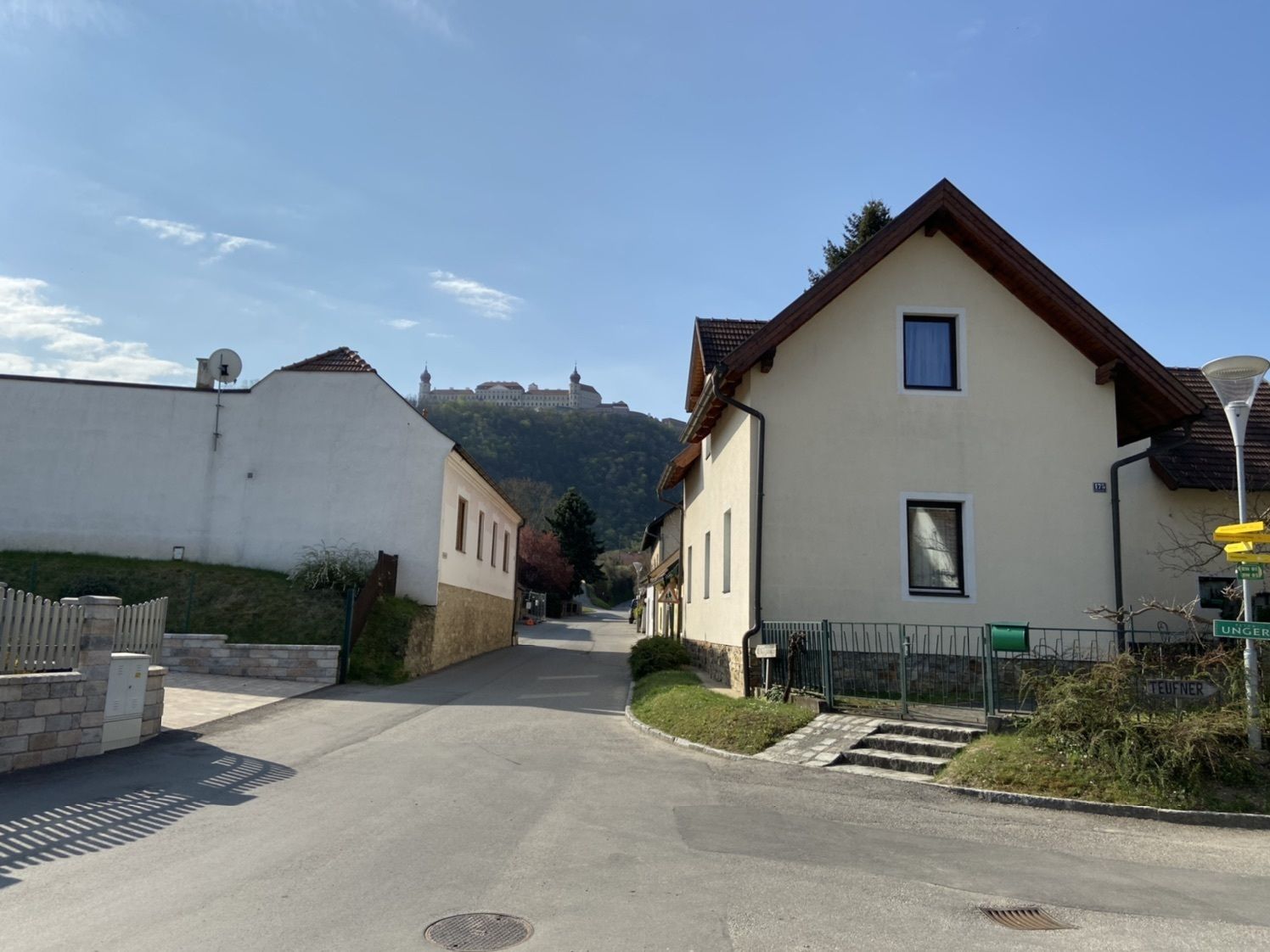
Druhá etapa Weitwanderwegs Kremstal-Dunaj vede přírodou mezi idylickými vinicemi a impozantními soutěskami. Z římského města Mautern vede trasa lemovaná vinicemi a ořešáky nejprve k přírodní památce Dutá...
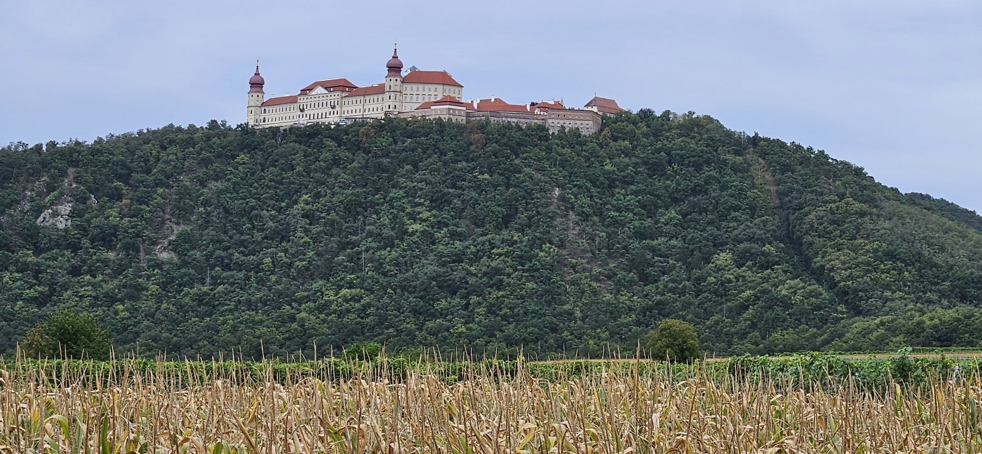
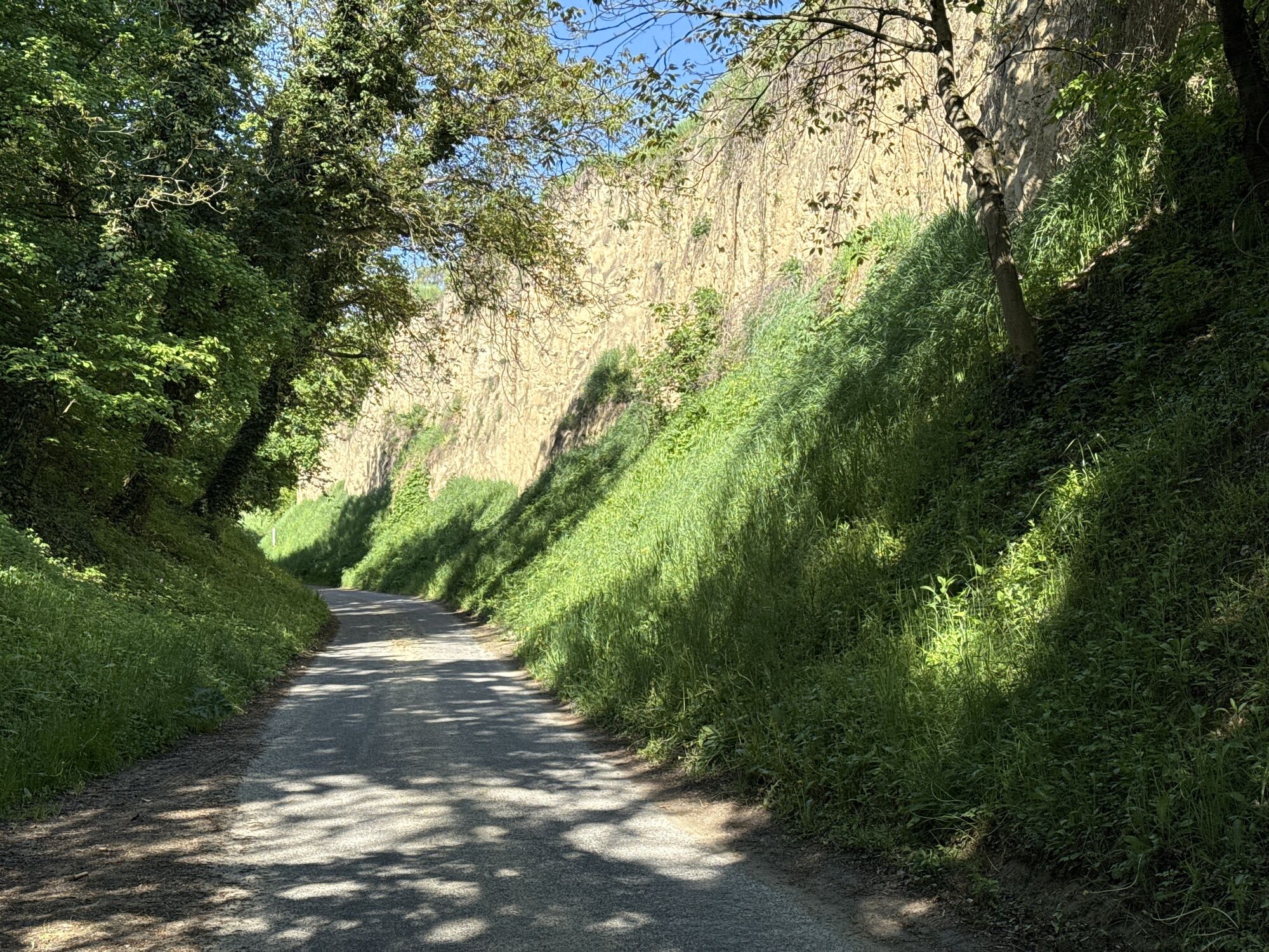
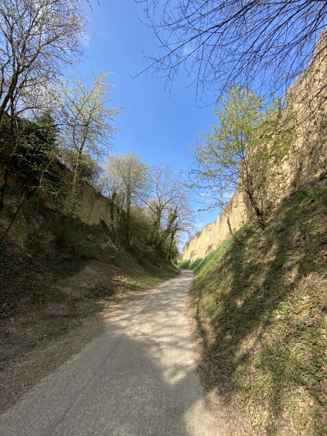
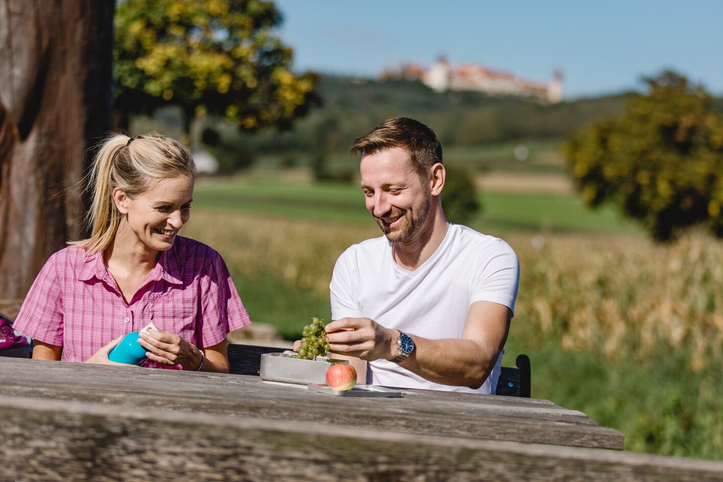
Druhá etapa Weitwanderwegs Kremstal-Dunaj vede pÅírodou mezi idylickými vinicemi a impozantními soutÄskami. Z Åímského mÄsta Mautern vede trasa lemovaná vinicemi a oÅešáky nejprve k pÅírodní památce Dutá stezka Zellergraben. Působivá sprašová rokle s až dvanáct metrů vysokými stÄnami vede pÅímo do Furthu , kde k odpoÄinku vybízejí Äetné heuriger. Dalším vrcholem etapy je benediktinské opatství Göttweig , zapsané do svÄtového kulturního dÄdictví UNESCO, které se po celou dobu túry tyÄí vysoko nad stezkou. Vzhledem ke krátké vzdálenosti a nÄkolika málo výškovým metrům je etapa Mautern - Furth klasifikována také jako lehká. Je proto vhodná jak pro rekreaÄní turisty, tak pro sportovnÄ založené nováÄky v pÄší turistice.
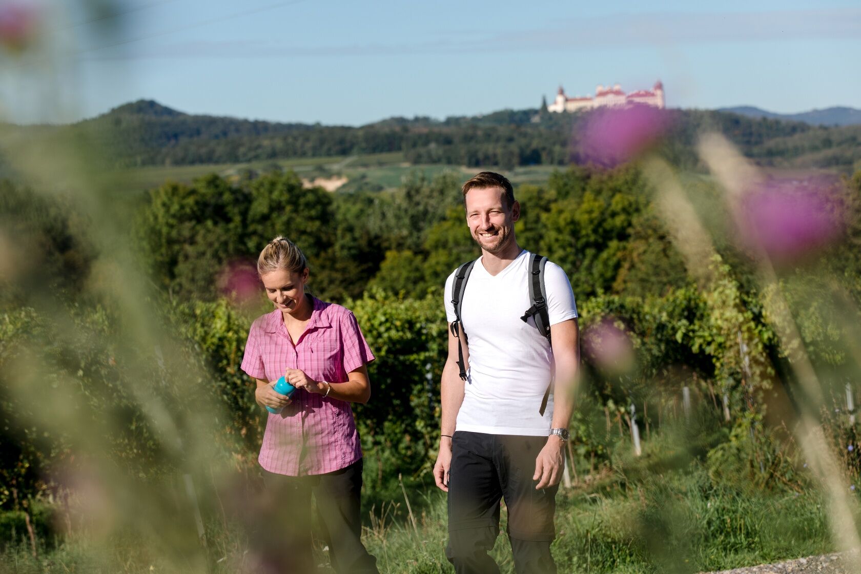
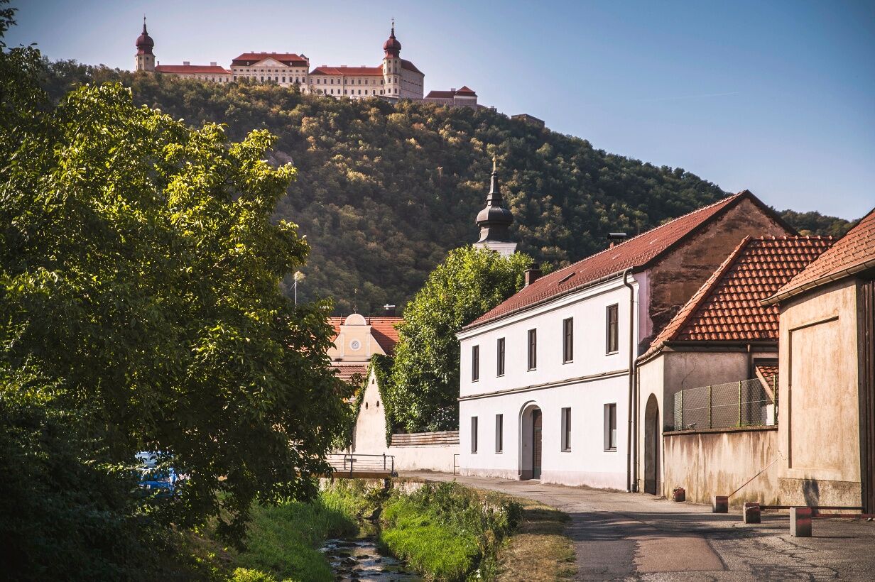
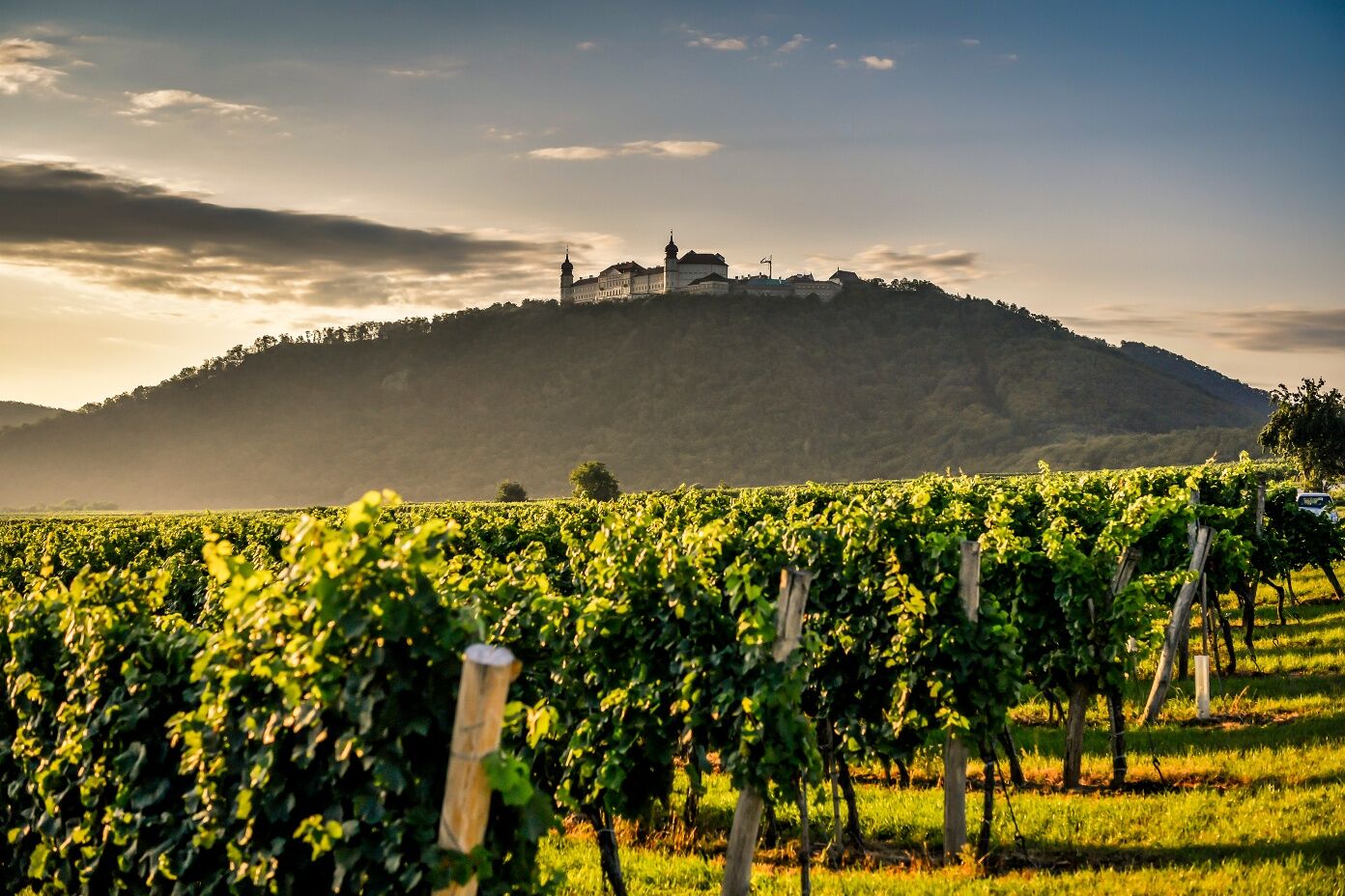
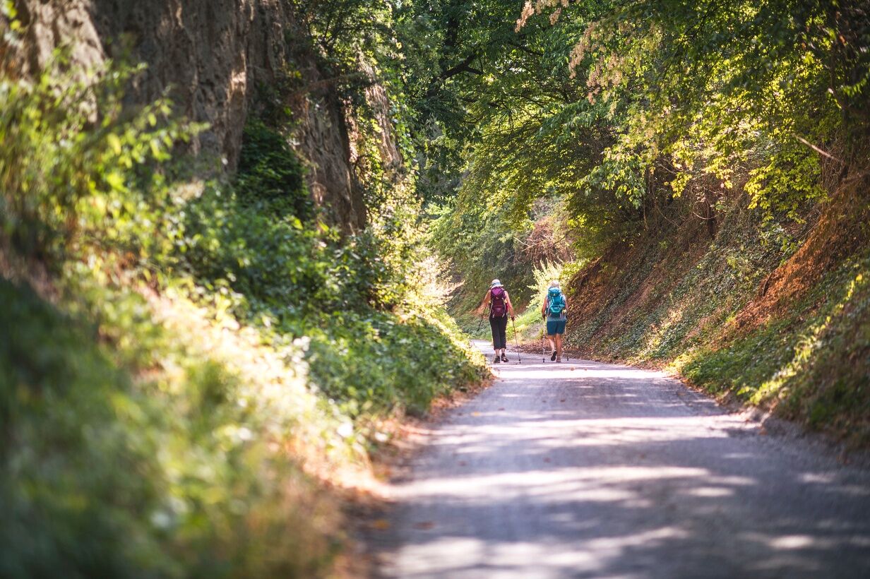

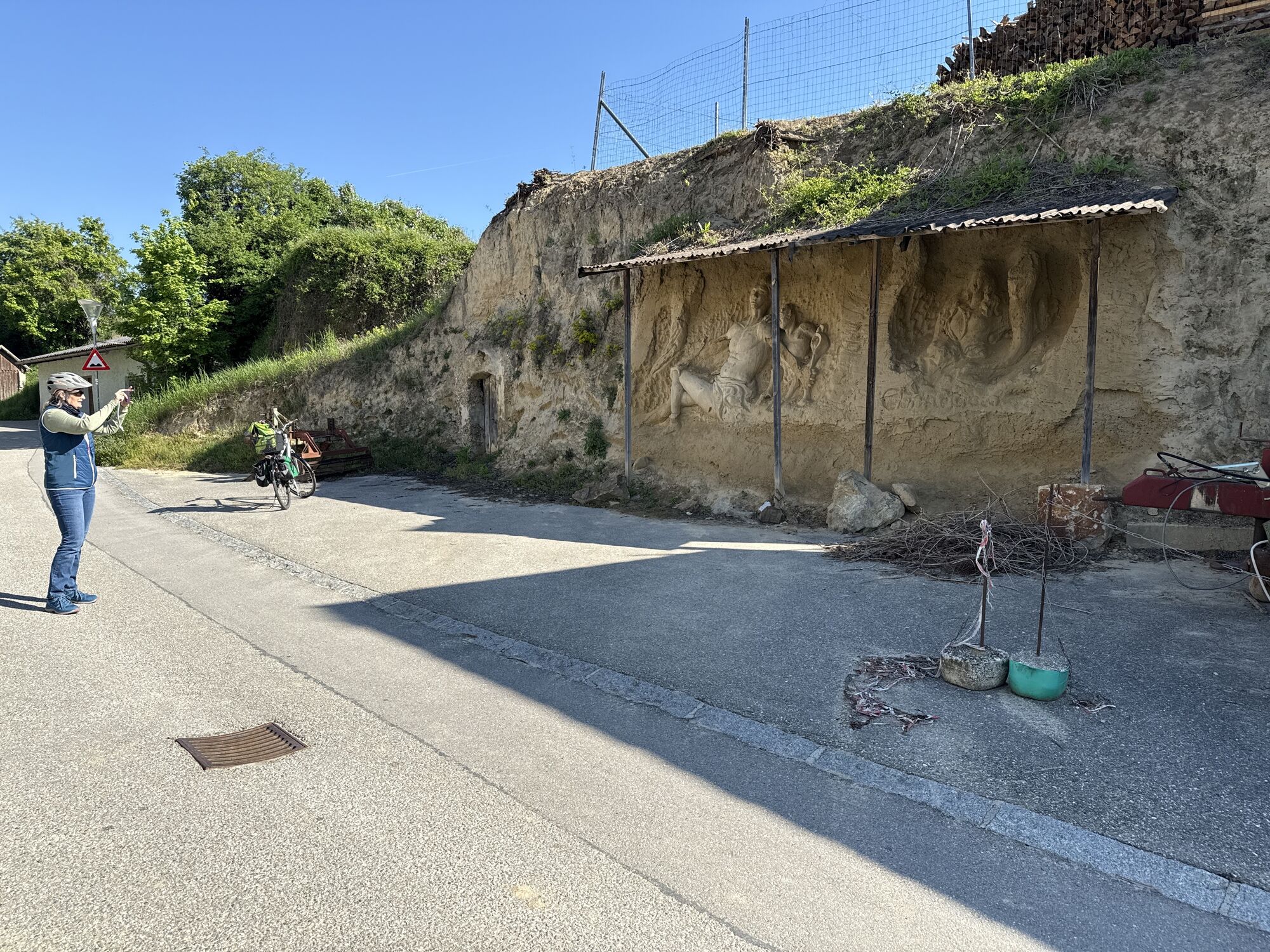
The stage starts at the town hall of Mautern on St. Pöltnerstraße heading towards Raab Barracks. Shortly after the barracks gate, Schanzweg branches off to the right, which we follow. At Hauerkreuz, we keep left and enter Neubergweg and its namesake vineyard. From Zellerkreuz, the path leads through the natural monument "Hohlweg Zellergraben", a loess gorge with walls up to 12 m high, to Furth. We walk through well-known vineyards like Silberbühel, Oberfeld, and Gottschelle and pass the Further Kellergraben with taverns. At the end of this loess path, we reach the settlement area, turn right into Kellergraben, and near the kindergarten turn left into St. Wolfgang-Weg. Passing Further parish church, located at the foot of the Benedictine Abbey Göttweig, the "Austrian Montecassino", we go through the gateway, over the Fladnitz bridge, and then reach our stage destination, the town office of the market town Furth near Göttweig.
We recommend the following equipment:
Hiking bootsBackpackWeatherproof clothing (e.g., rain protection)HeadwearSun protectionSufficient provisions (water, snacks)Hiking map of the long-distance trail Kremstal-Donau and/or mobile route plannerPlease observe the following tips and notes to make your hiking holiday a pleasant experience:
Stay on the marked paths and wear hiking/mountain shoes.Please do not leave your rubbish on the trail.Carry sufficient provisions (water/snacks) with you.Take the hiking map with you or use the free hiking app.Respect the sensitive habitats of plants and animals.The use of the suggested routes is at your own risk and responsibility.
Mautern is accessible from the west via the West Autobahn A1/E4 exit Melk and then federal road 33.
When coming from the east, it is advisable to use expressways S33 (from St. Pölten) or S5 (from Vienna) to the Danube bridge near Traismauer and then continue via B33.
The nearest major train station is in Krems an der Donau (connection to the Franz-Josefs-Bahn, Kamptalbahn and to St. Pölten). In the neighboring town Furth-Palt, the train towards St. Pölten stops.
Arrival to Mautern is possible with the Wachau line (WL 2 Krems-Rossatz-Melk or Melk-Rossatz-Krems) from the train stations Krems and Melk.
Parking lot at the Roman hall in Mautern
All information about the stages can be found at www.kremstal.at . The "Kremstal-Donau long-distance hiking trail" hiking map can be requested free of charge from Donau NÖ Tourismus GmbH by telephone on 02713-30060-60 or downloaded from the brochure shop at www.donau.com/brochure will.
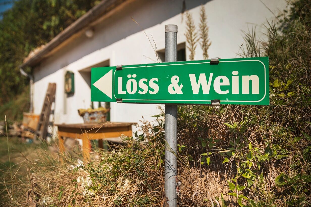
The connection between loess and wine can be clearly seen at the natural monument Hohlweg Zellergraben. Definitely plan time for a visit to the Benedictine Abbey Göttweig. Enjoy wine and regional delicacies from the Kremstal region. In the tavern calendar, you'll find open taverns!
Získejte přehled
Vždy živě na místě s více než 9 500 webkamerami. bergfex Jako uživatel Pro si nyní můžete zobrazit odpovídající webové kamery pro mnoho prohlídek v aplikaci prohlídky z. Můžete si tak přímo prohlédnout aktuální podmínky.
Oblíbené prohlídky v okolí
-
4.5
Welterbesteig Wachau 02: Dürnstein-Weißenkirchen
světlodálková pěší trasa 15.9 km -
4.4
Welterbesteig Wachau 03: Weißenkirchen-Spitz
světlodálková pěší trasa 10.4 km -
4.6
Welterbesteig Wachau 01: Krems-Dürnstein
světlodálková pěší trasa 12.3 km -
4.8
Vogelbergsteig -Kanzel- Fesselhütte - Ruine Dürnstein zum Heurigen in Furth
středníTuristika 7.59 km -
4.7
Rundhöhenwanderweg Weißenkirchen in der Wachau - Schildhütten - Cholerakreuz - Weißenkirchen
světloTuristika 8.75 km -
4.7
Wachau: Seekopf - Hirschwand
středníTuristika 10.4 km -
4.6
Krems (Welterbesteig) - Dürnstein - Vogelbergsteig - Kanzel - Fesslhütte - Krems
středníTuristika 18.0 km -
4.5
Maria Langegg - Rote Wand - Hoher Stein - Kastlkreuz
středníTuristika 11.4 km -
4.5
Panoramaweg Weissenkirchen
světloTuristika 5.04 km -
4.4
Wachauer Marillenerlebnisweg, Krems-Angern
světloTuristika 6.04 km
Pěší turistika a stopování


Nenechte si ujít nabídky a inspiraci pro vaši příští dovolenou
Vaše e-mailová adresa byl přidán do poštovního seznamu.





