



Moor and field

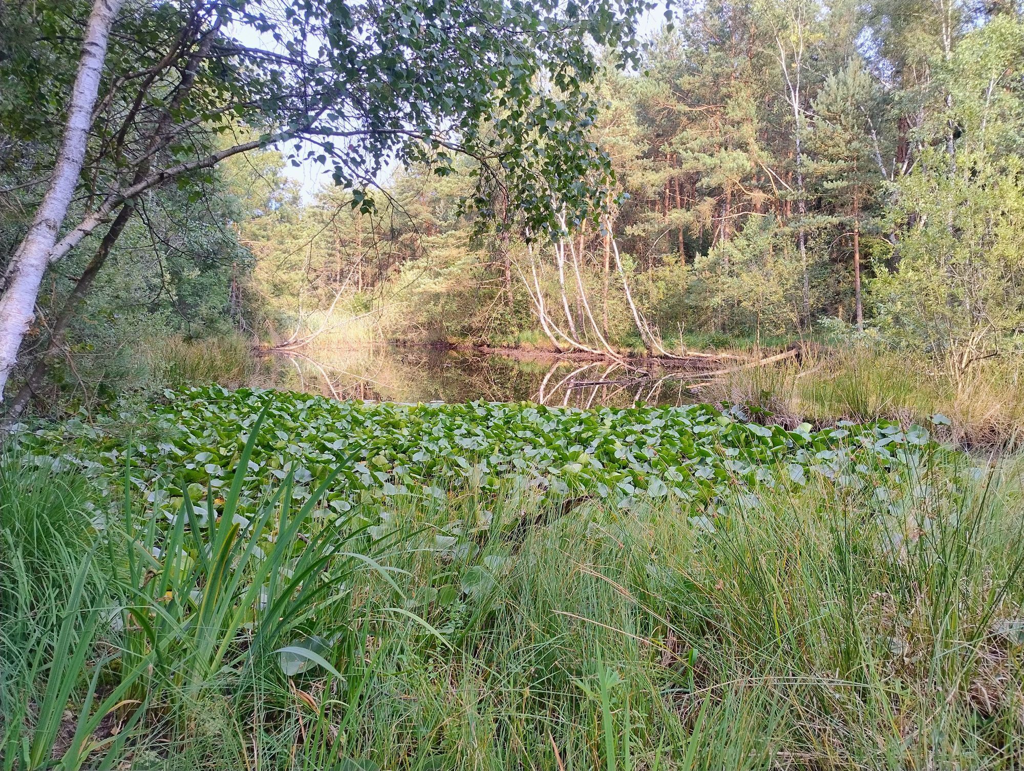
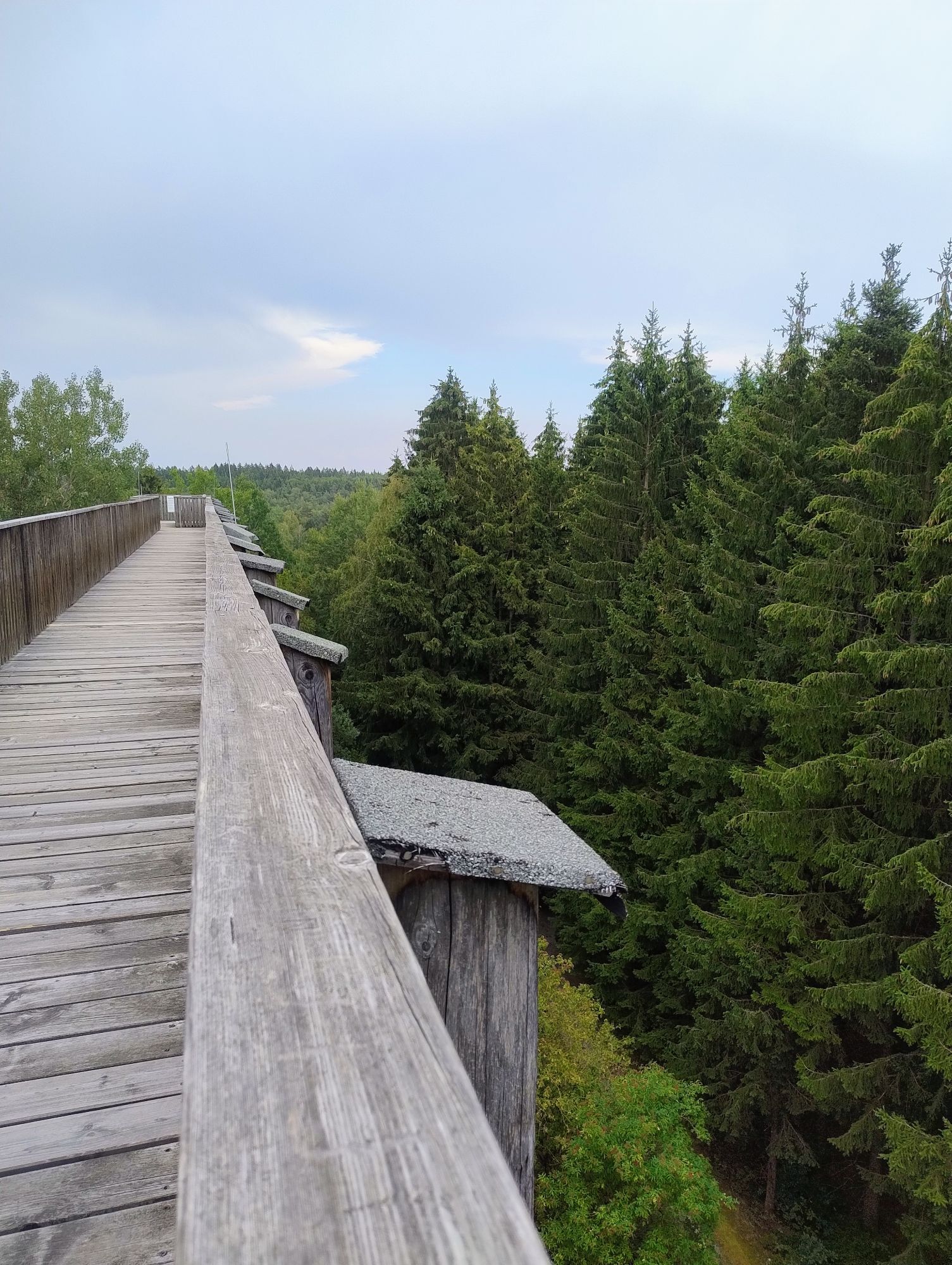


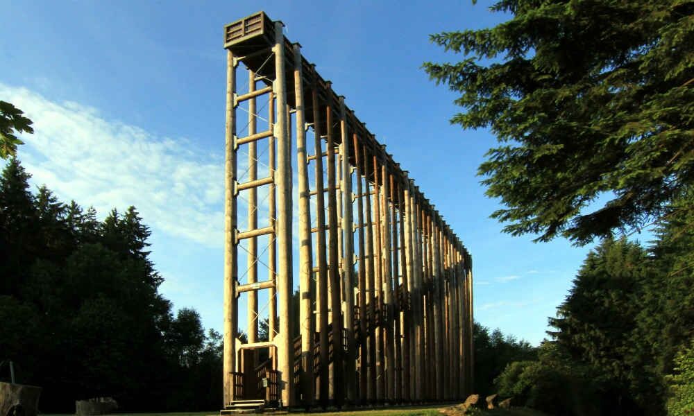
Places of interest along the route: Himmelsleiter (ladder to heaven) - the 20 m high lookout point promises a great view over the beautiful moor landscape. The whipping post leads the visitor on wooden...
Places of interest along the route: Himmelsleiter (ladder to heaven) - the 20 m high lookout point promises a great view over the beautiful moor landscape. The whipping post leads the visitor on wooden posts a little way into the moor, where you can discover the fascinating flora and fauna particularly well. You can get up close and personal with the moor in the moor treading pool - it is said to work wonders for tired feet...
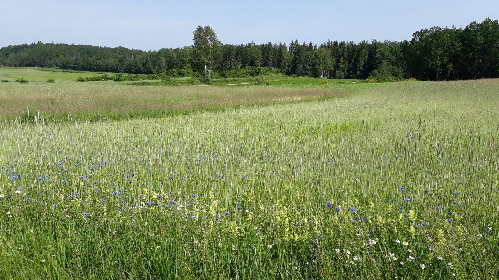

This circular hike requires a bit of stamina, but it's worth it: the starting point is the UnterWasserReich car park. From there, the trail winds its way across the high moor to Langschwarza. Via the Waldschenke and the chapel of St. Johann im Walde you will get to Neuhöf, past the "House of Horses", to Ehrenhöbarten and the abandoned "Brombühel" quarry back to Schrems to the starting point.
Sturdy shoes
From Vienna: A22 to Stockerau Nord, B4 to Horn, B 2 (direction Gmünd) to Schrems.From St. Pölten: S 33 to KremsFrom Krems: B37 to Zwettl, B36 to Vitis, B 2 to SchremsFrom Linz: A 7, B 310 to Freistadt, B 38 to Karlstift, B 41 to SchremsFrom Ceske Budejovice: on the E49/E55 via Trebon, Suchdol, Neunagelberg, to Schrems
From Vienna: Franz Josef Railway to Gmünd, then ÖBB Postbus to Schrems bus station, about 15 minutes on foot to UnterWasserReich
From St. Pölten: REX towards Krems/Donau, then ÖBB Postbus to Schrems bus station, about 15 minutes on foot to UnterWasserReich
Car park of the UnderWaterWorld
Waldviertel Tourism
3910 Zwettl, Sparkassenplatz 1/2/2
(T) +43 2822 54109
(E) info@waldviertel.at
Nature Park Hiking Trail www.naturparke-noe.at, Municipality of Schrems www.schrems.at
Visit to the UnterWasserReich Schrems - www.unterwasserreich.at

Oblíbené prohlídky v okolí
-
4.5
Teiche-Radroute (Strecke 2020) Niederösterreich
středníJízda na kole 48.7 km -
4.2
Blockheiderunde
světloTuristika 6 km -
4.9
Mythologieweg Blockheide
světloTuristika 4.96 km -
3.7
Knödel-Landradweg
středníJízda na kole 42.6 km -
4.7
Gmünd: Blockheide mit Wackelsteinen
světloTuristika 8.14 km -
4.6
Gemeinde Heidenreichstein - Winkelauer Berg - Seyfrieds
světloTuristika 7.24 km -
5.0
Naturlehrpfad Heidenreichsteiner Moor
světloTuristika 4.56 km -
4.0
Gmünd Blockheide
světloTematická stezka 8.18 km -
4.5
Schweigginger Ursprungsrunde
středníJízda na kole 44.7 km -
5.0
TiWaLi - Neu-Nagelberg Grenzweg, Österreich
světloTuristika 10.7 km
Pěší turistika a stopování


Nenechte si ujít nabídky a inspiraci pro vaši příští dovolenou
Vaše e-mailová adresa byl přidán do poštovního seznamu.


