






Merkersdorfer Rundwanderweg
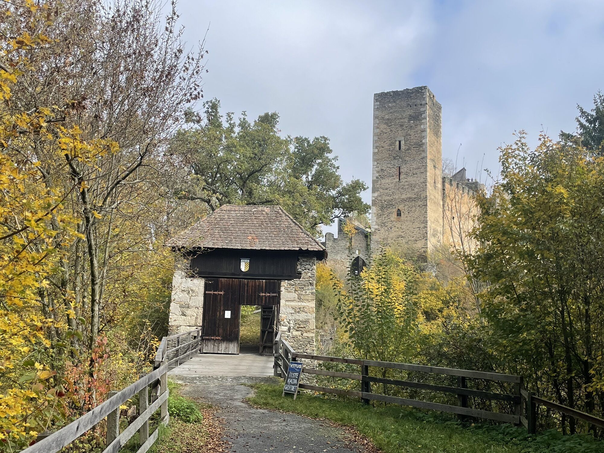
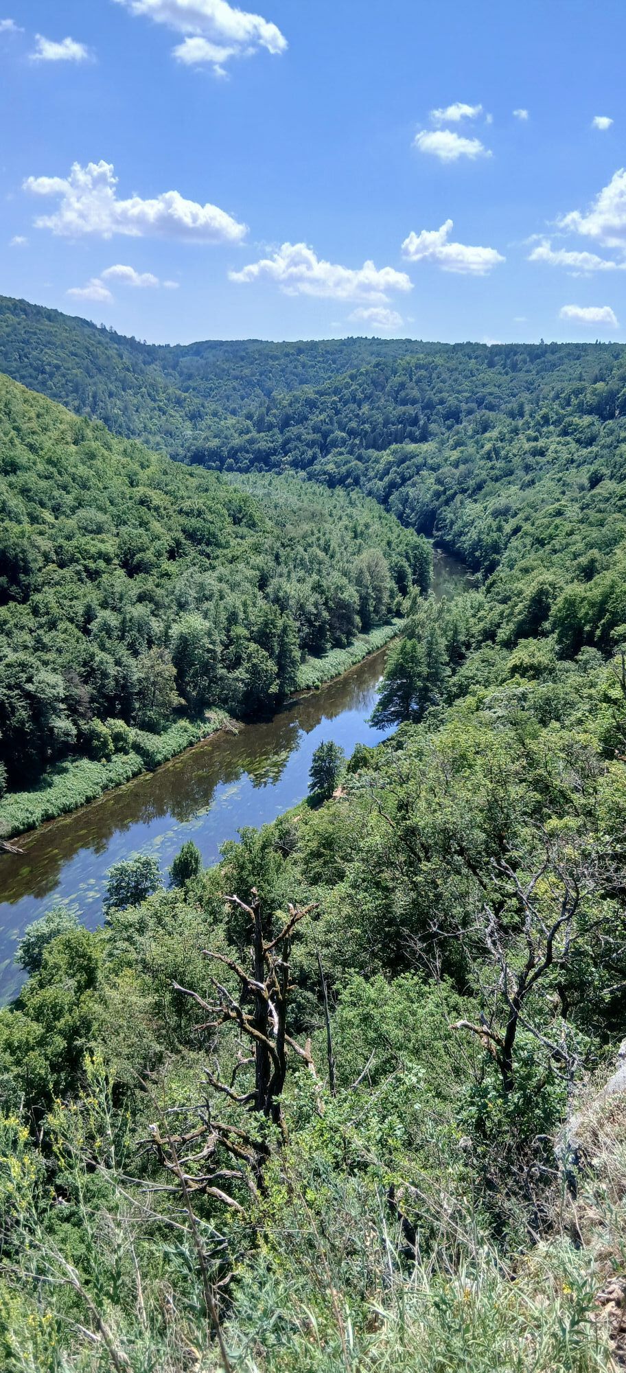
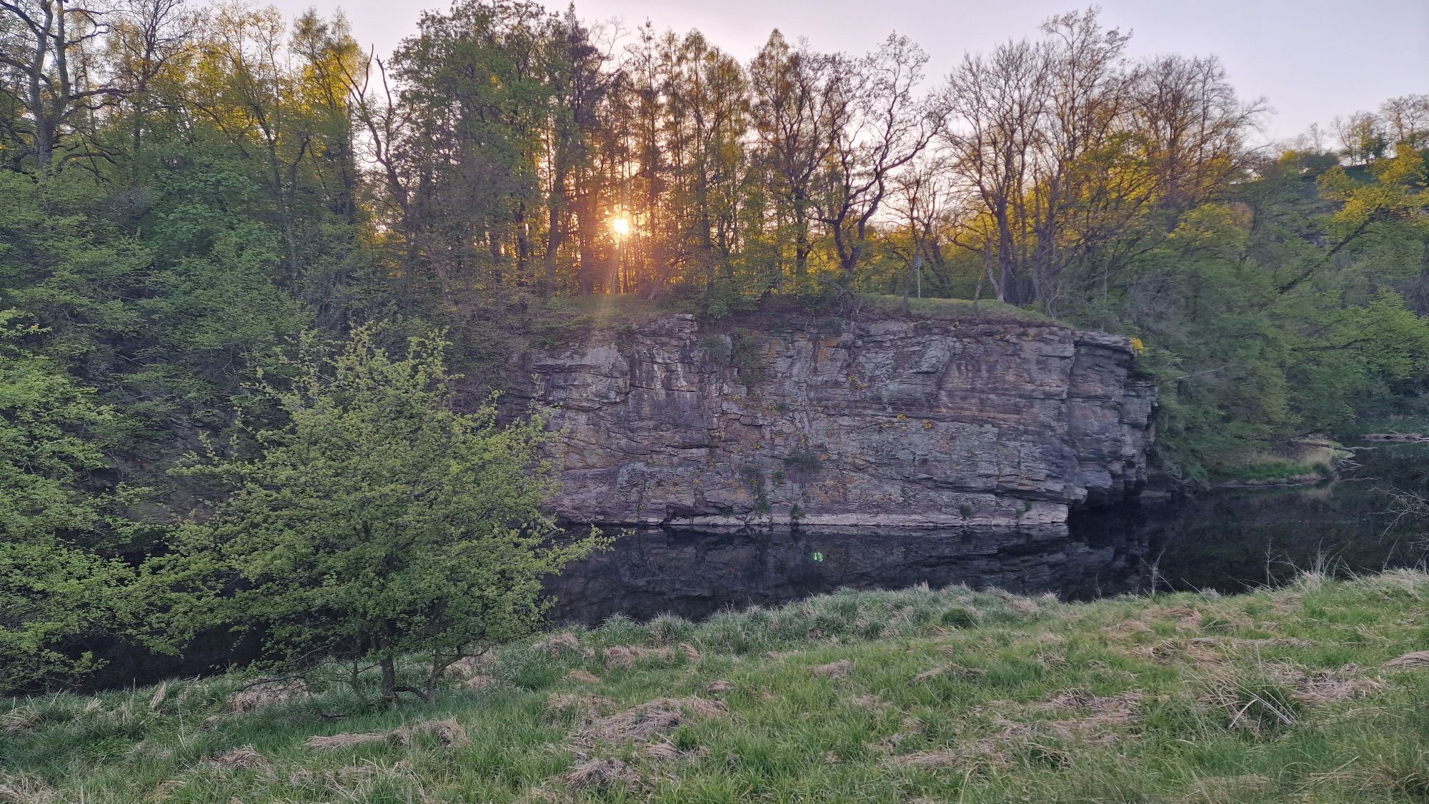
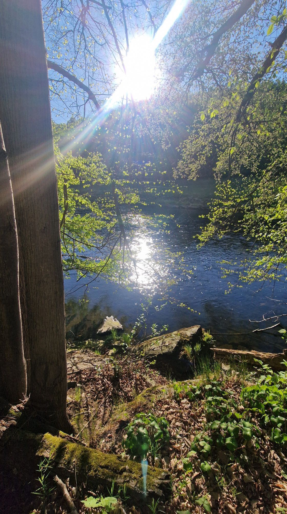
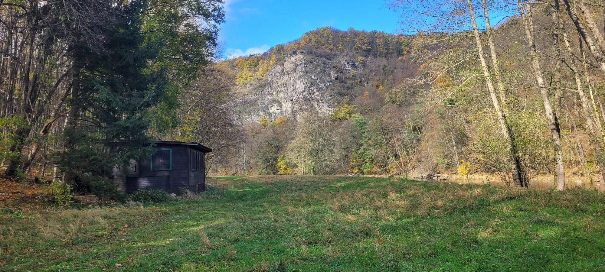
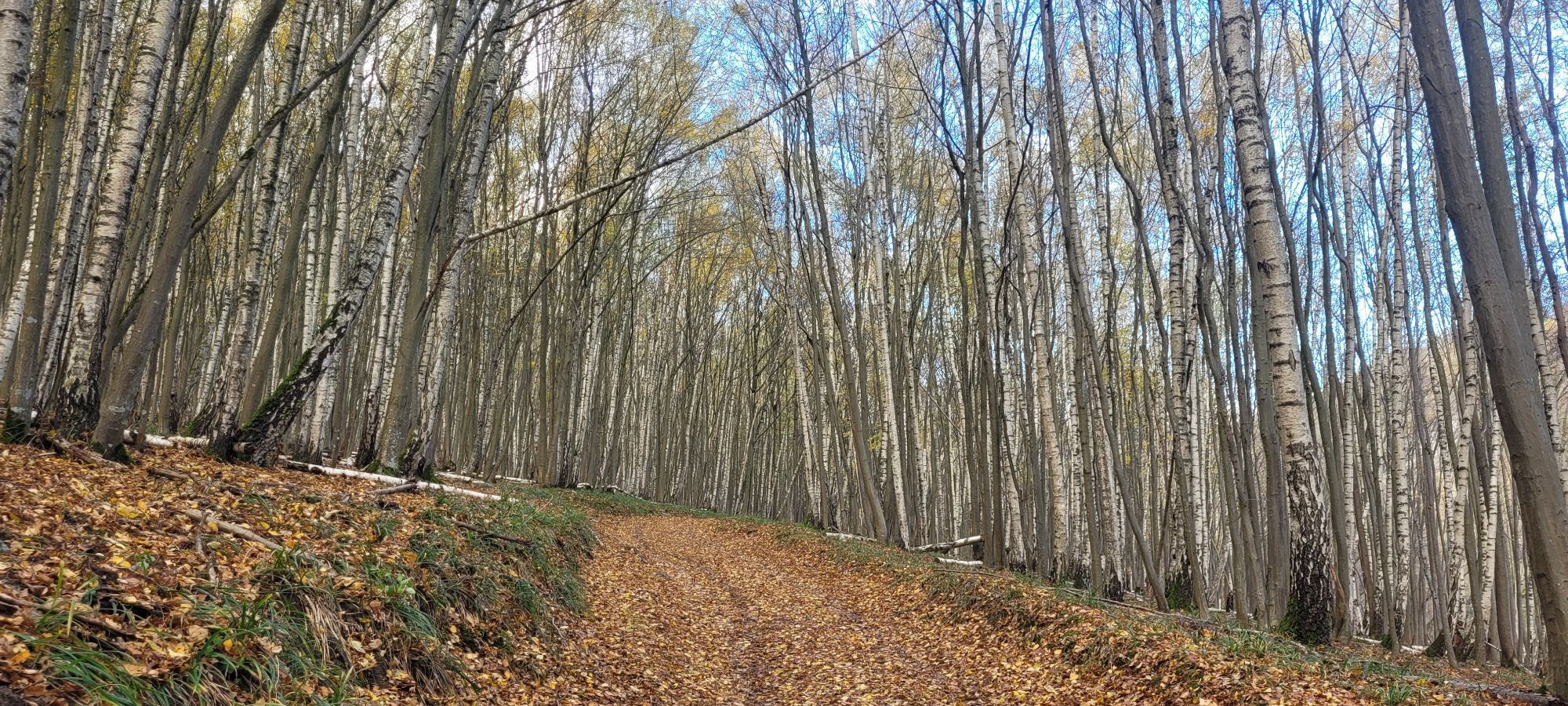
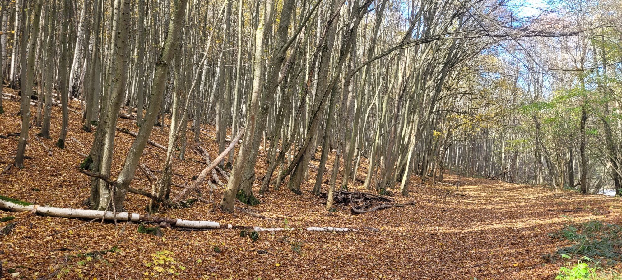
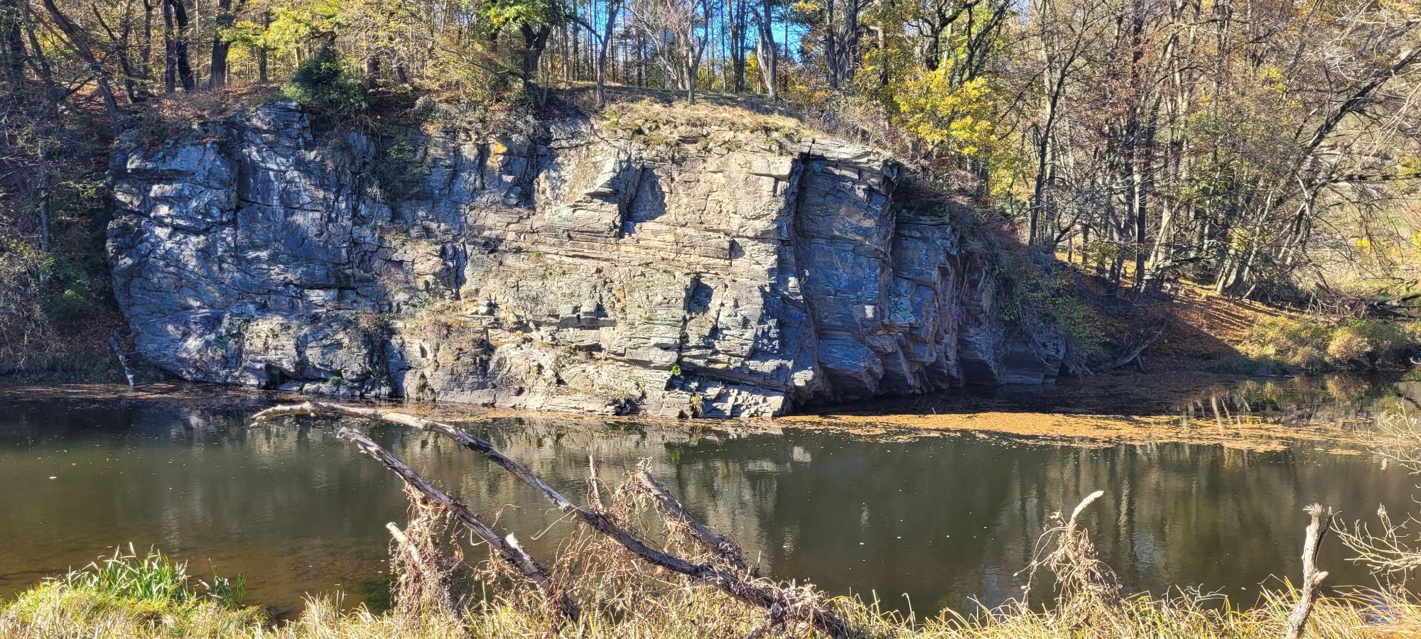
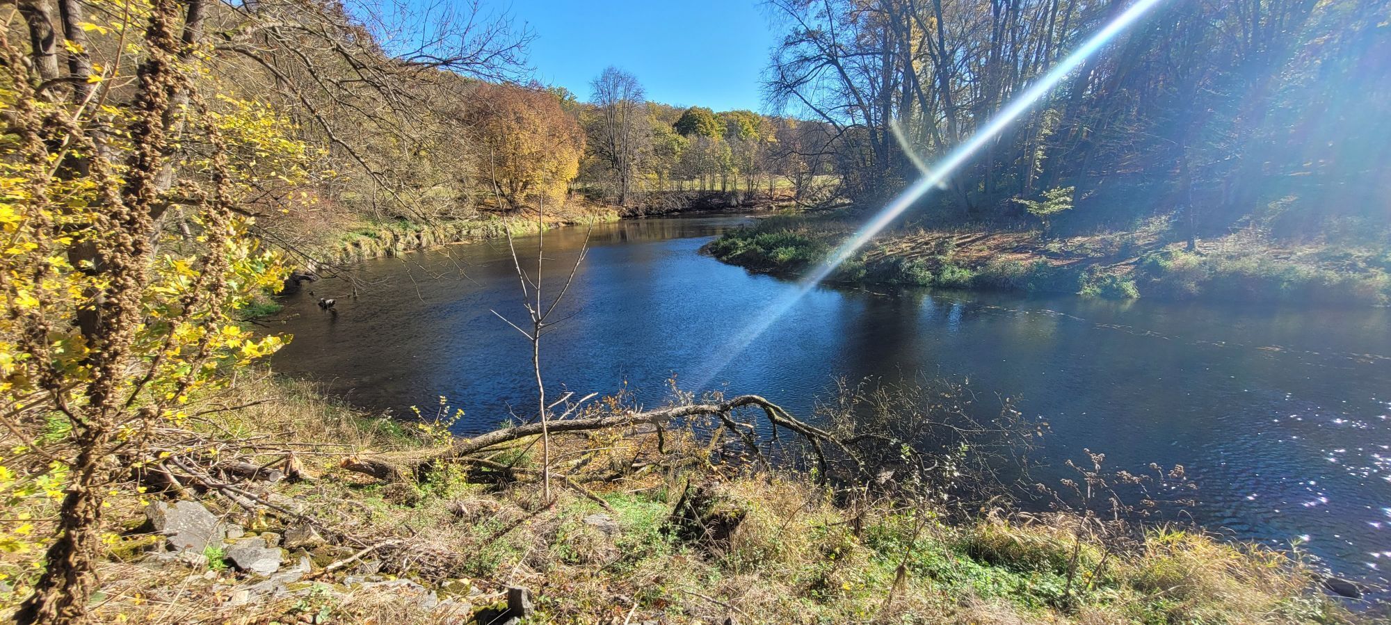
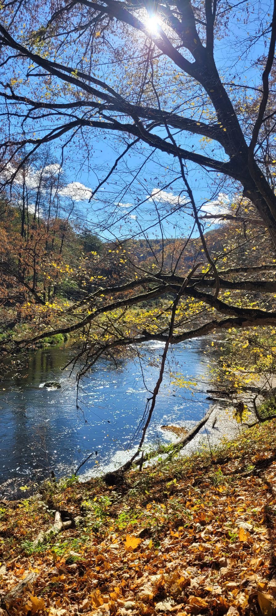
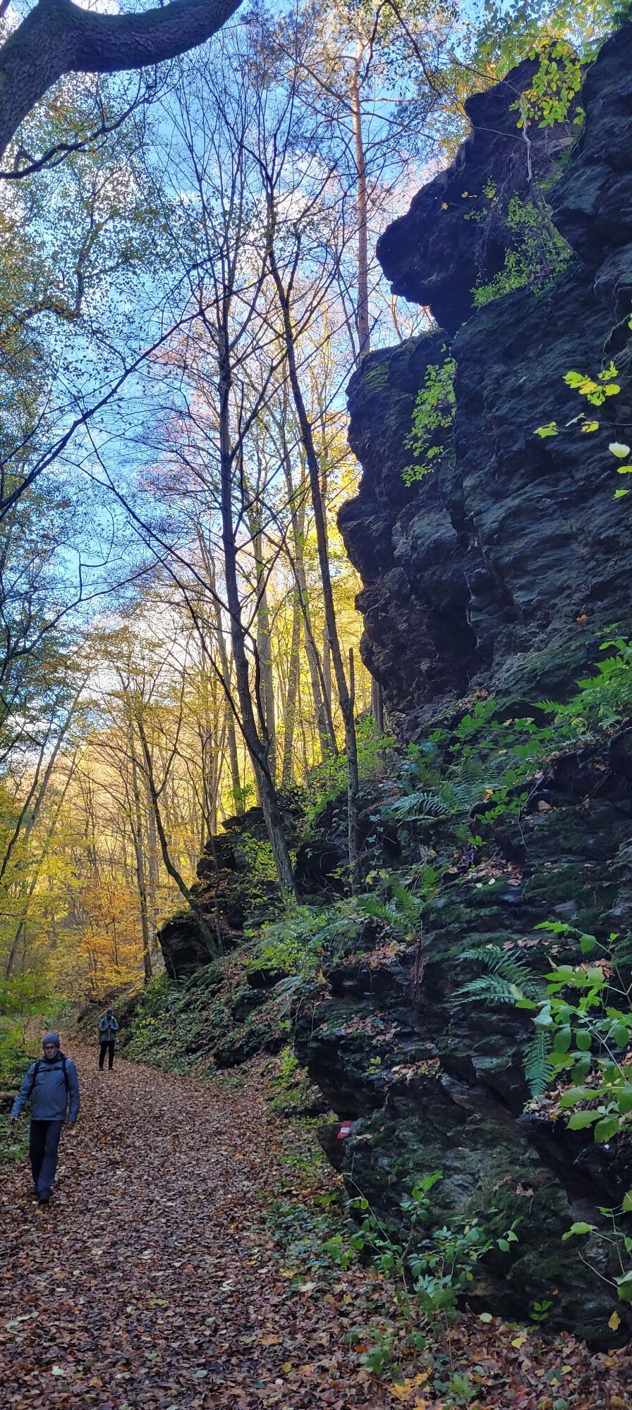
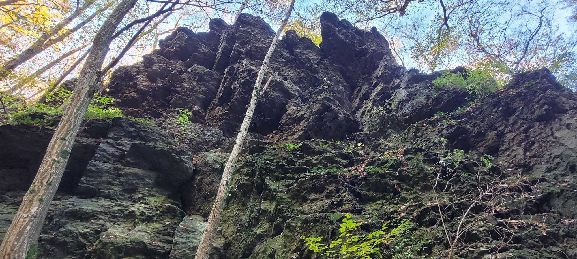
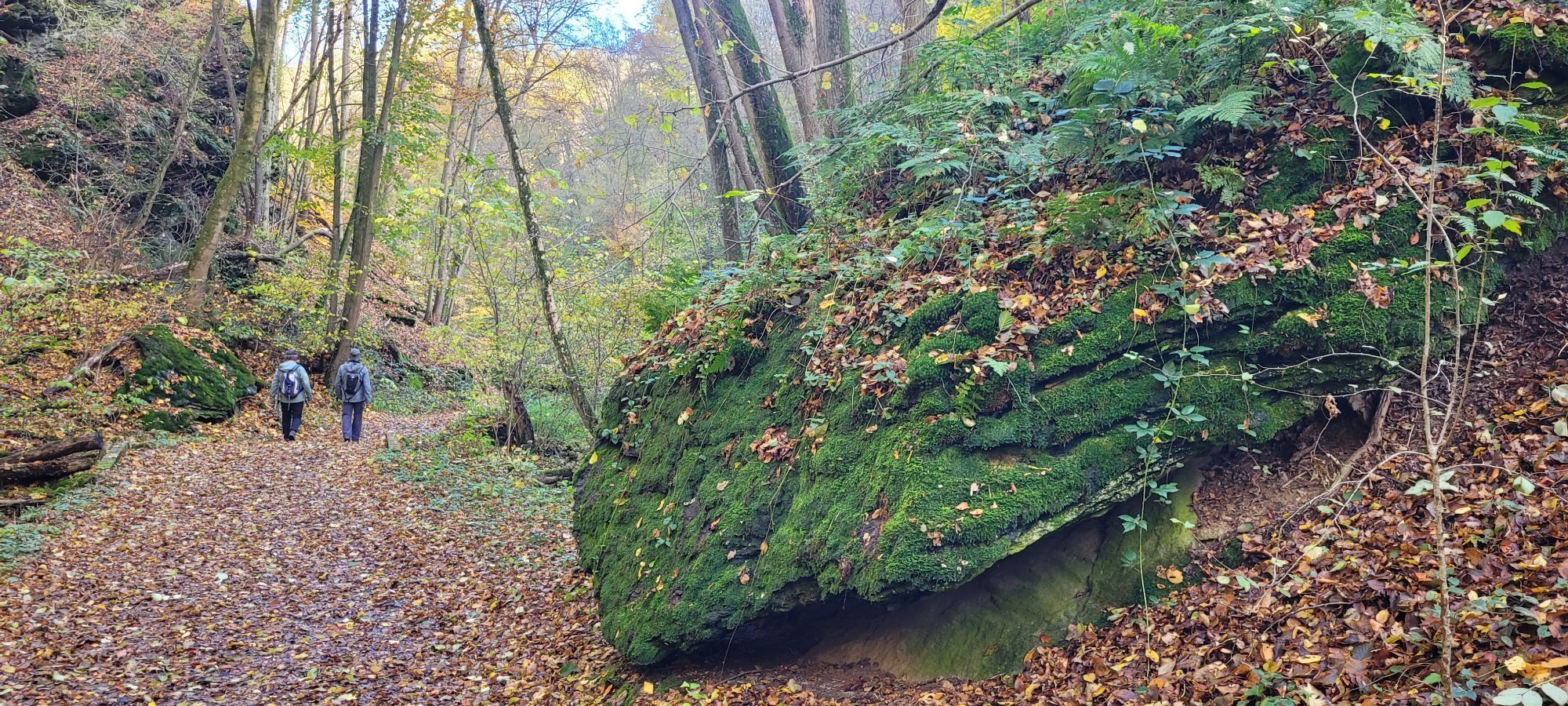
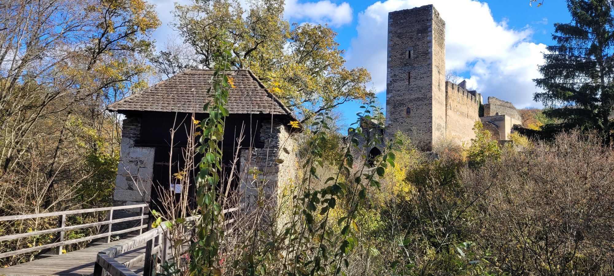

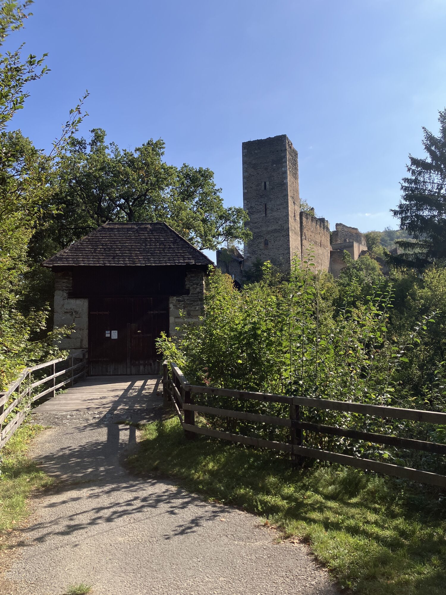
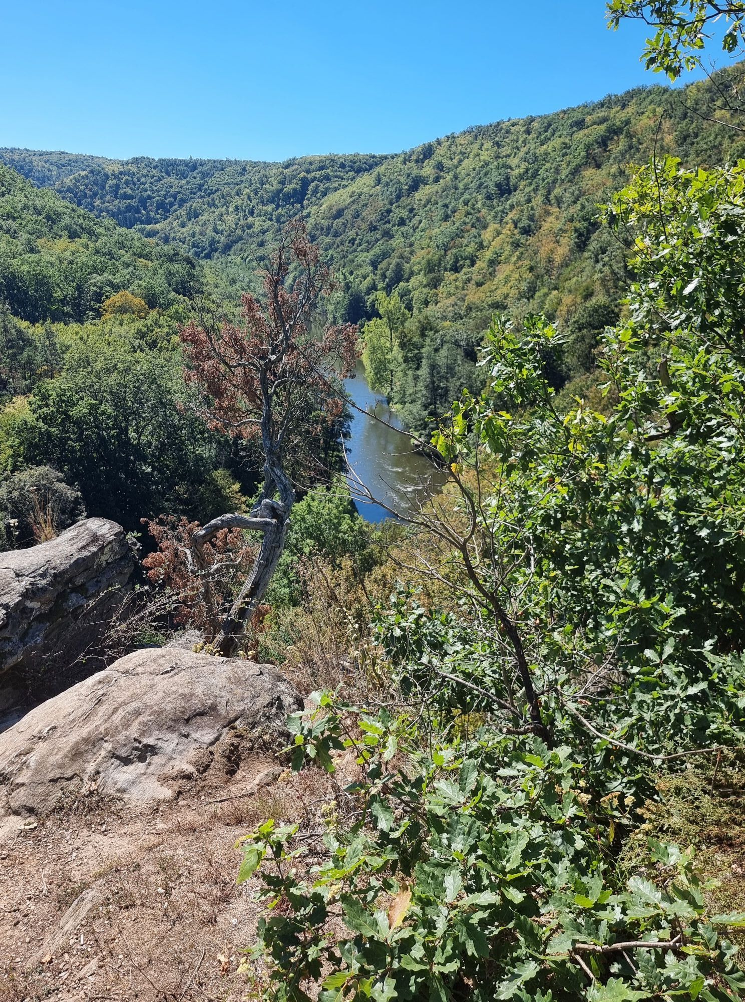
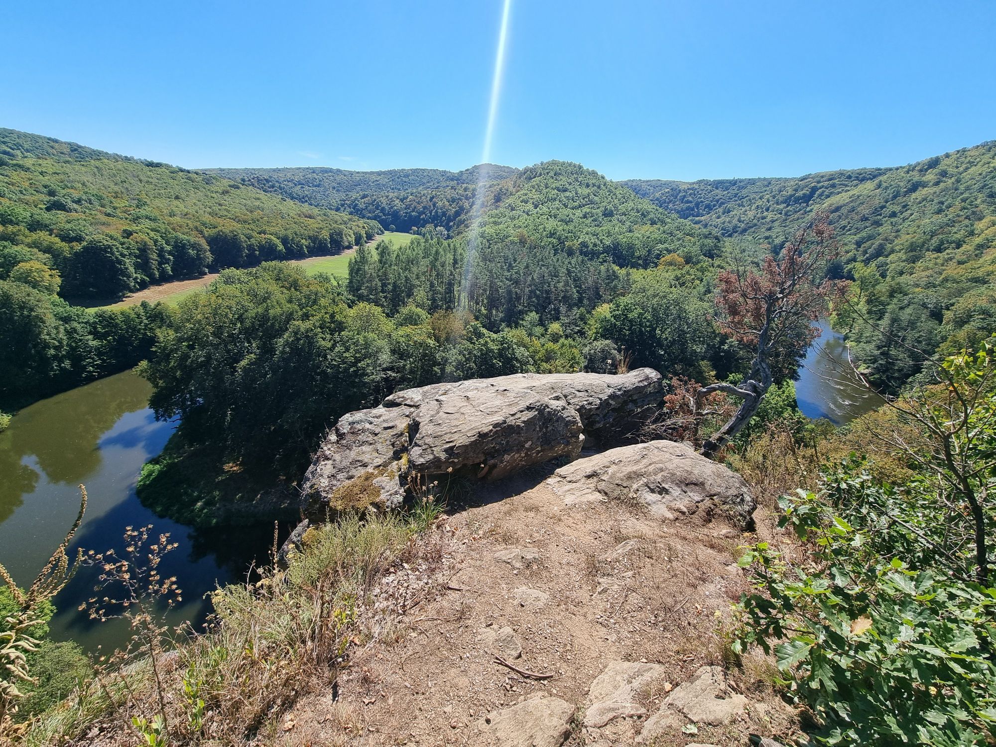
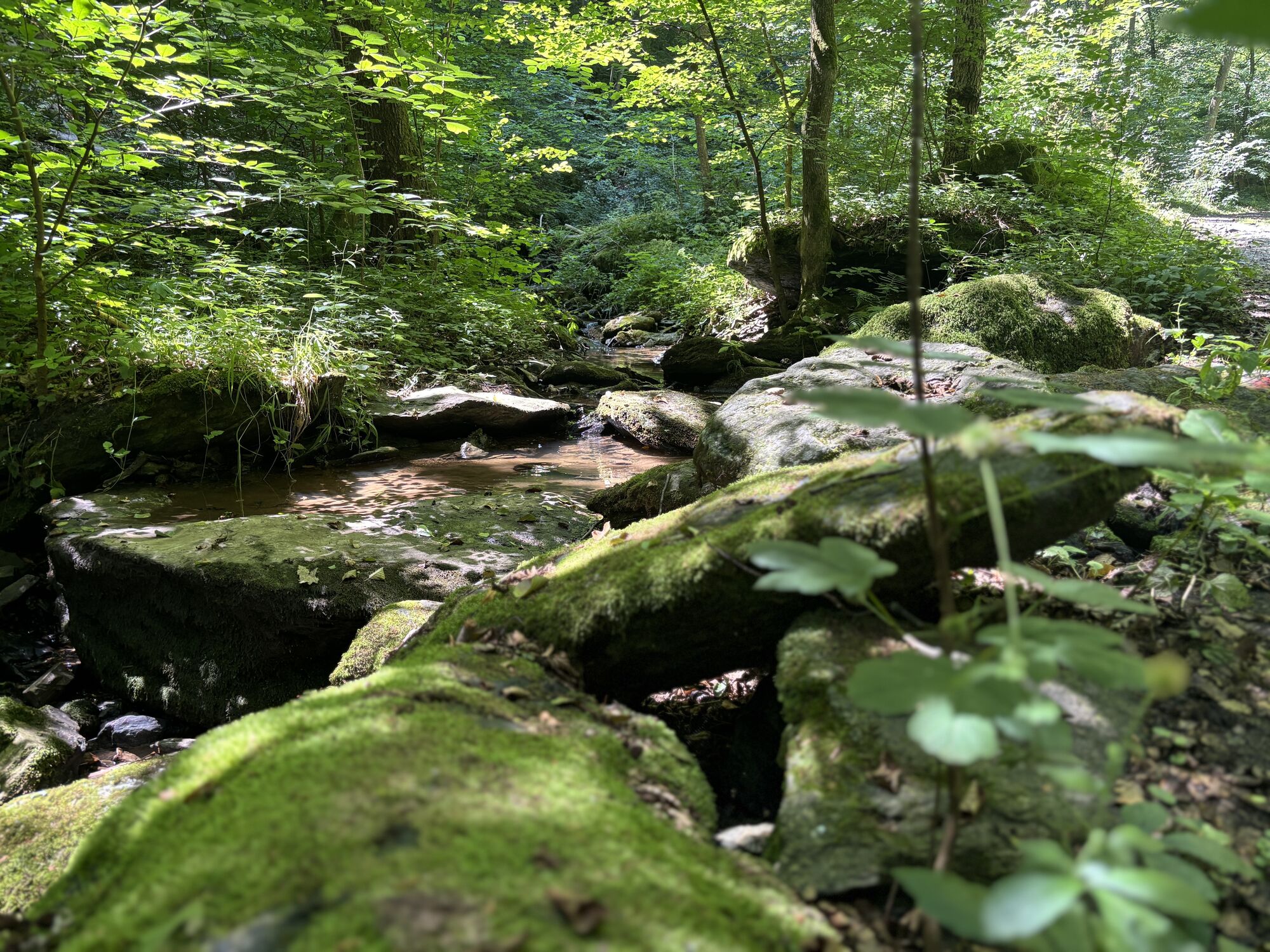
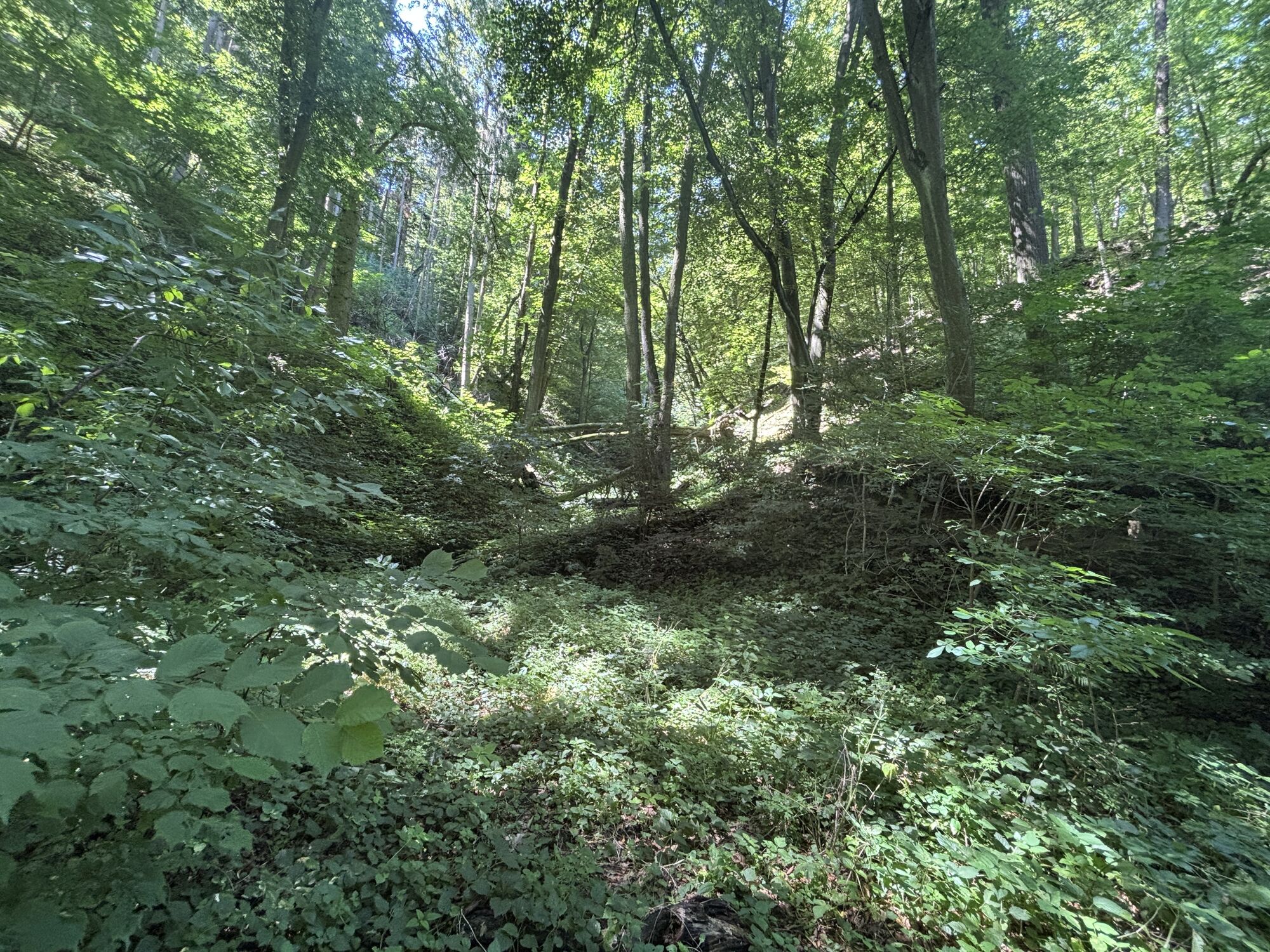
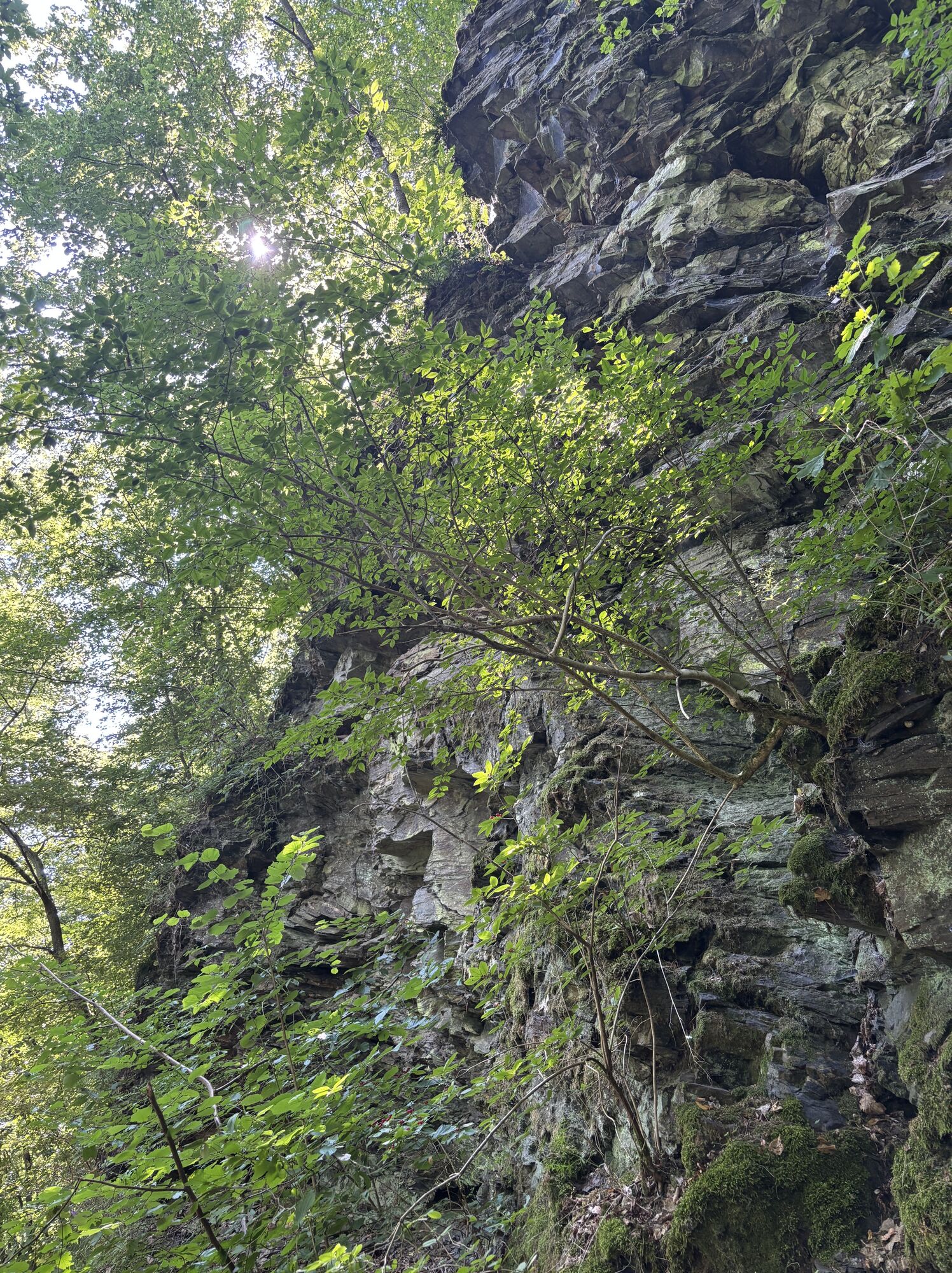
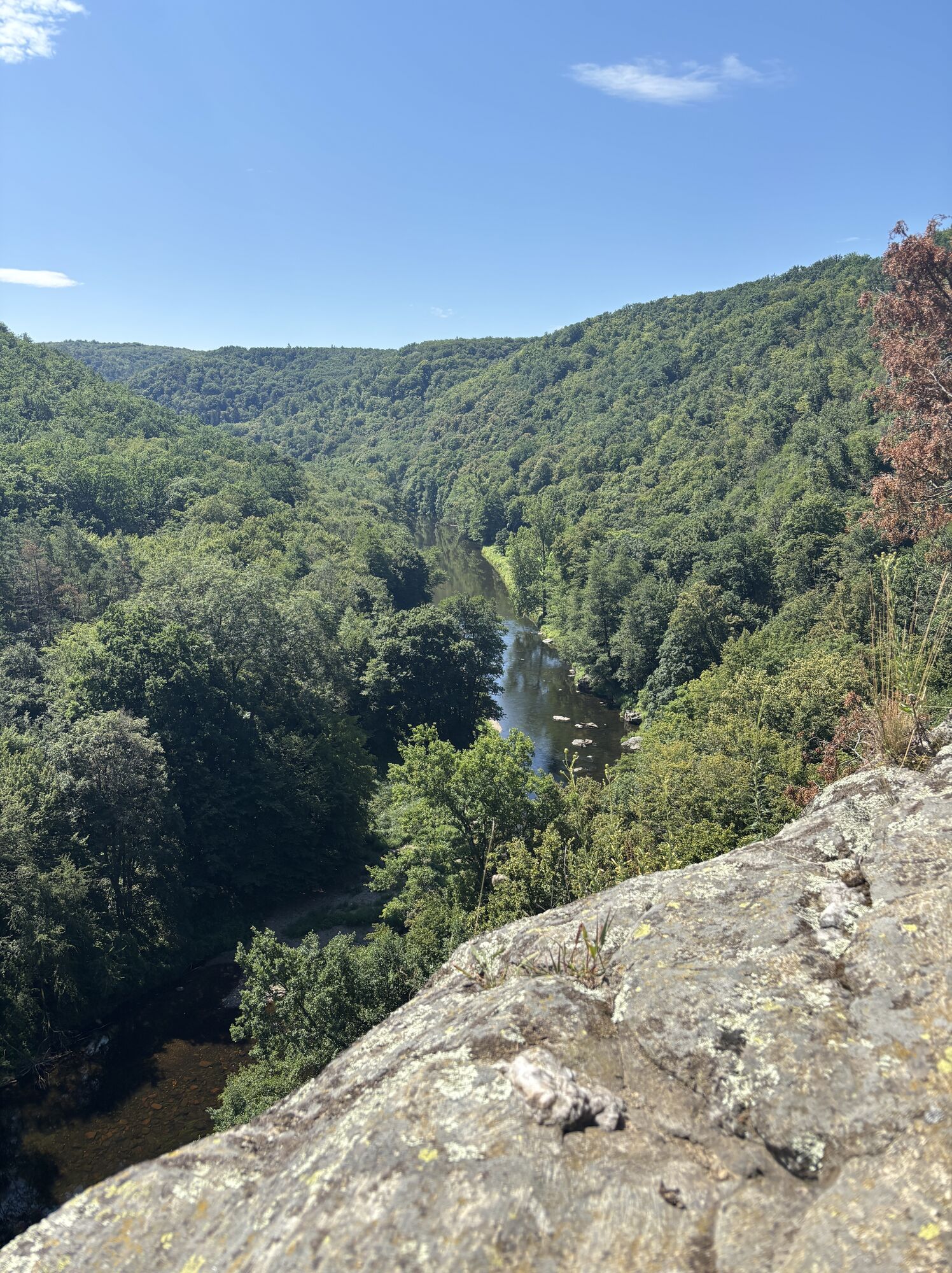
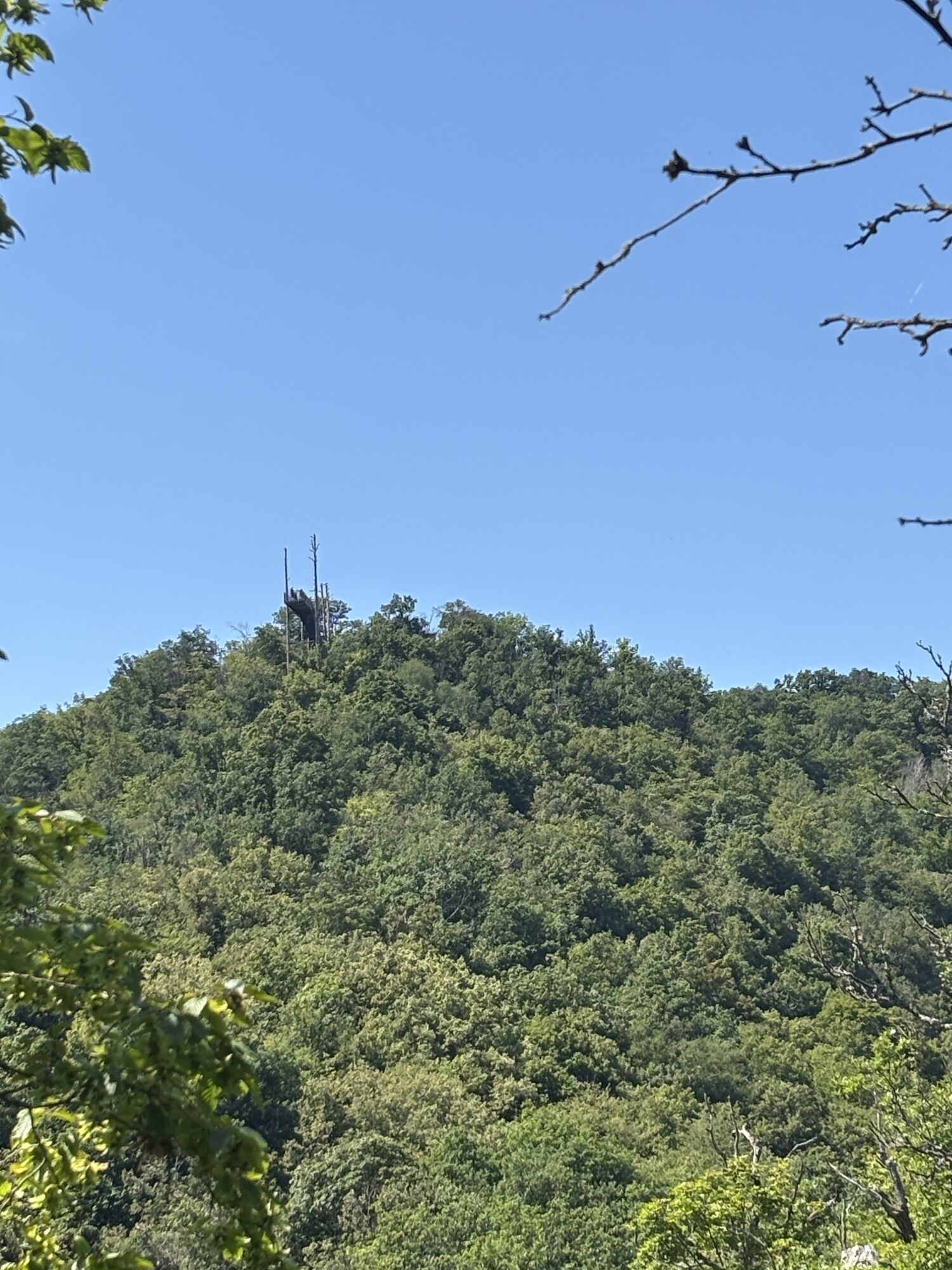
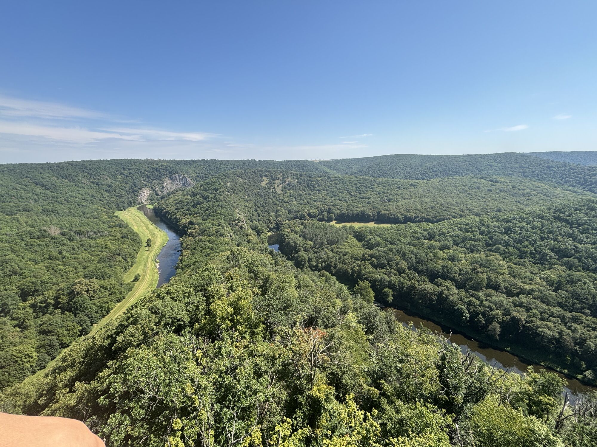
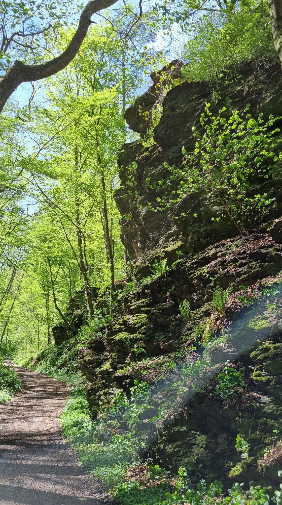
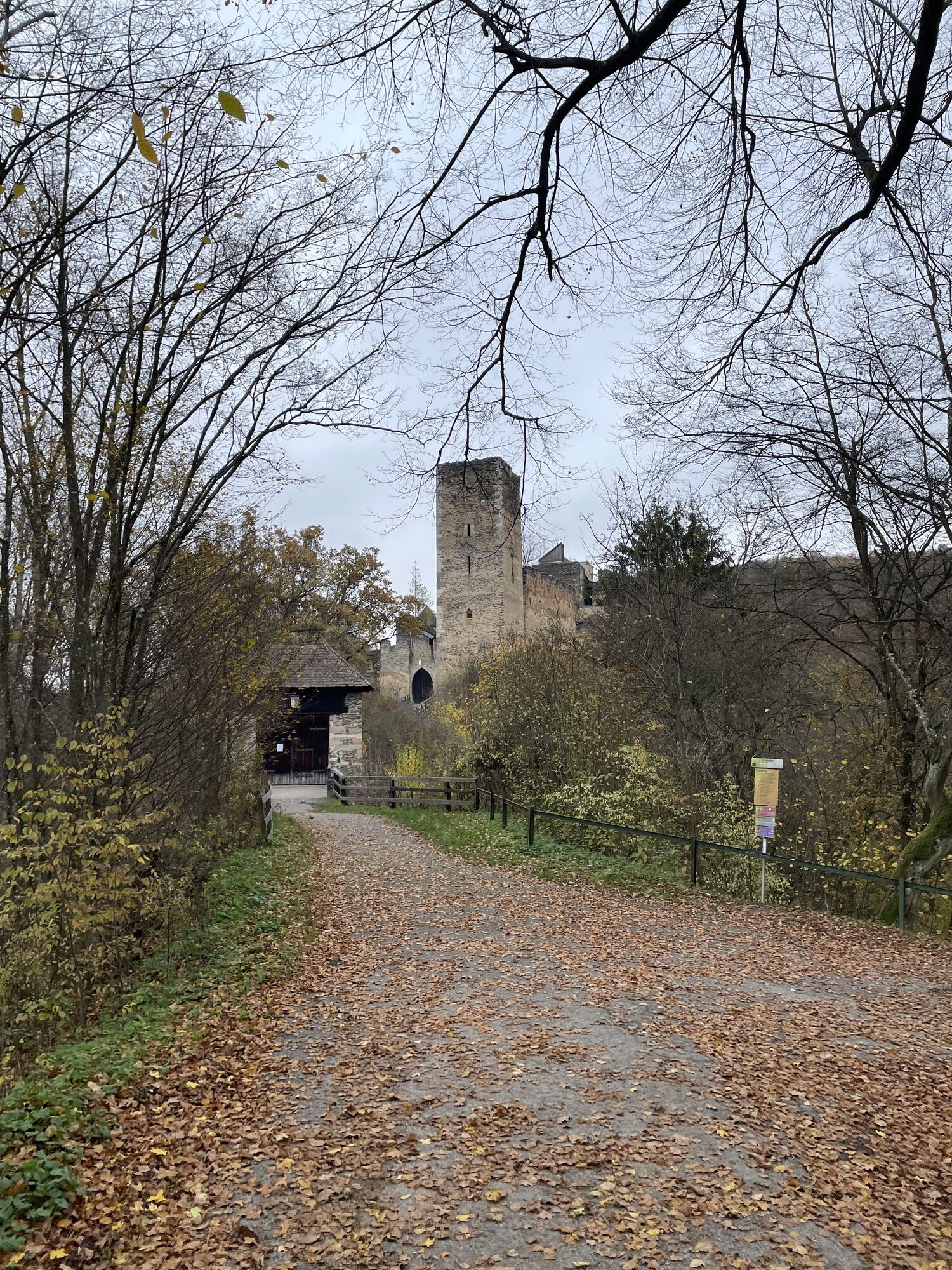
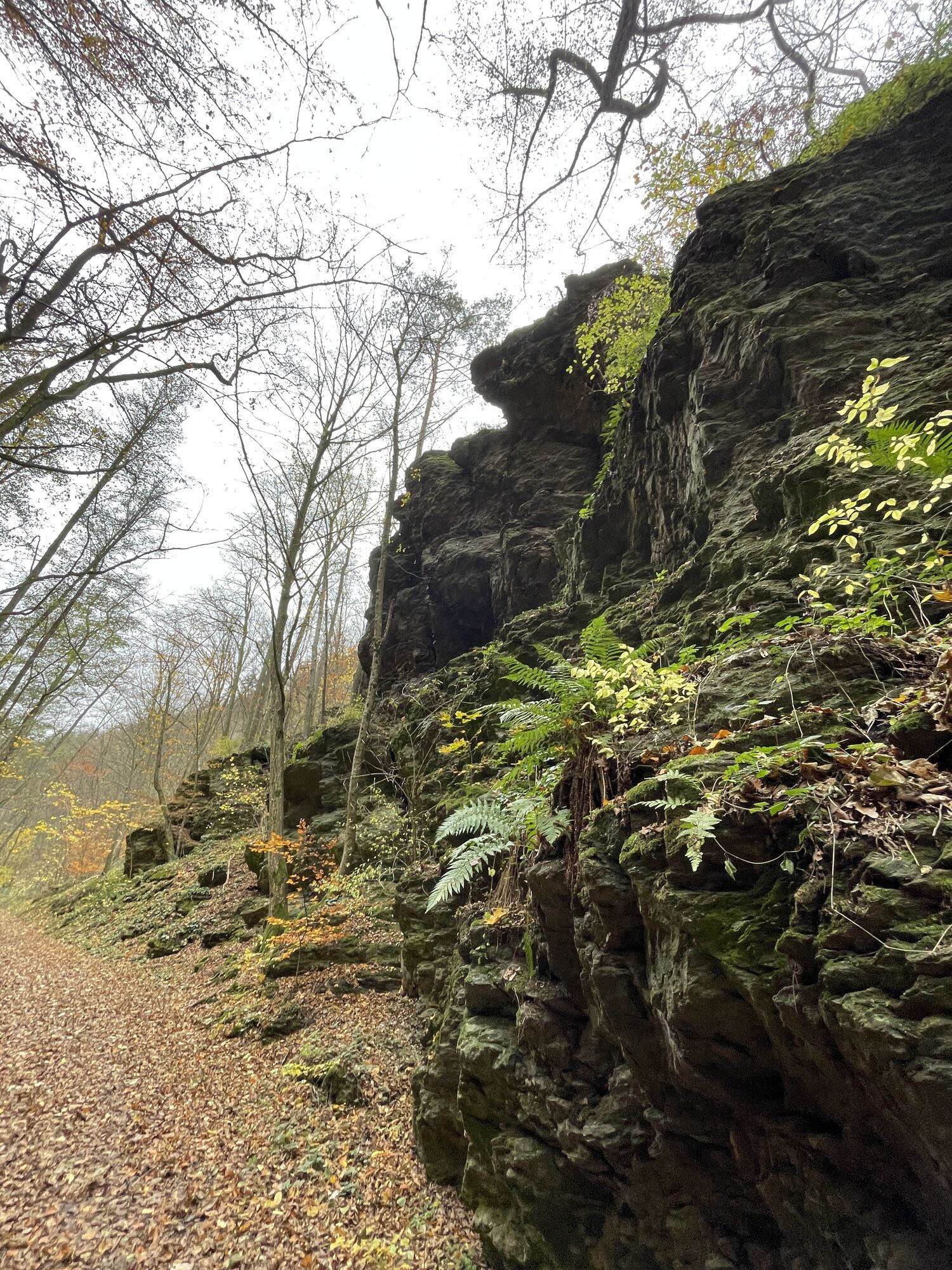
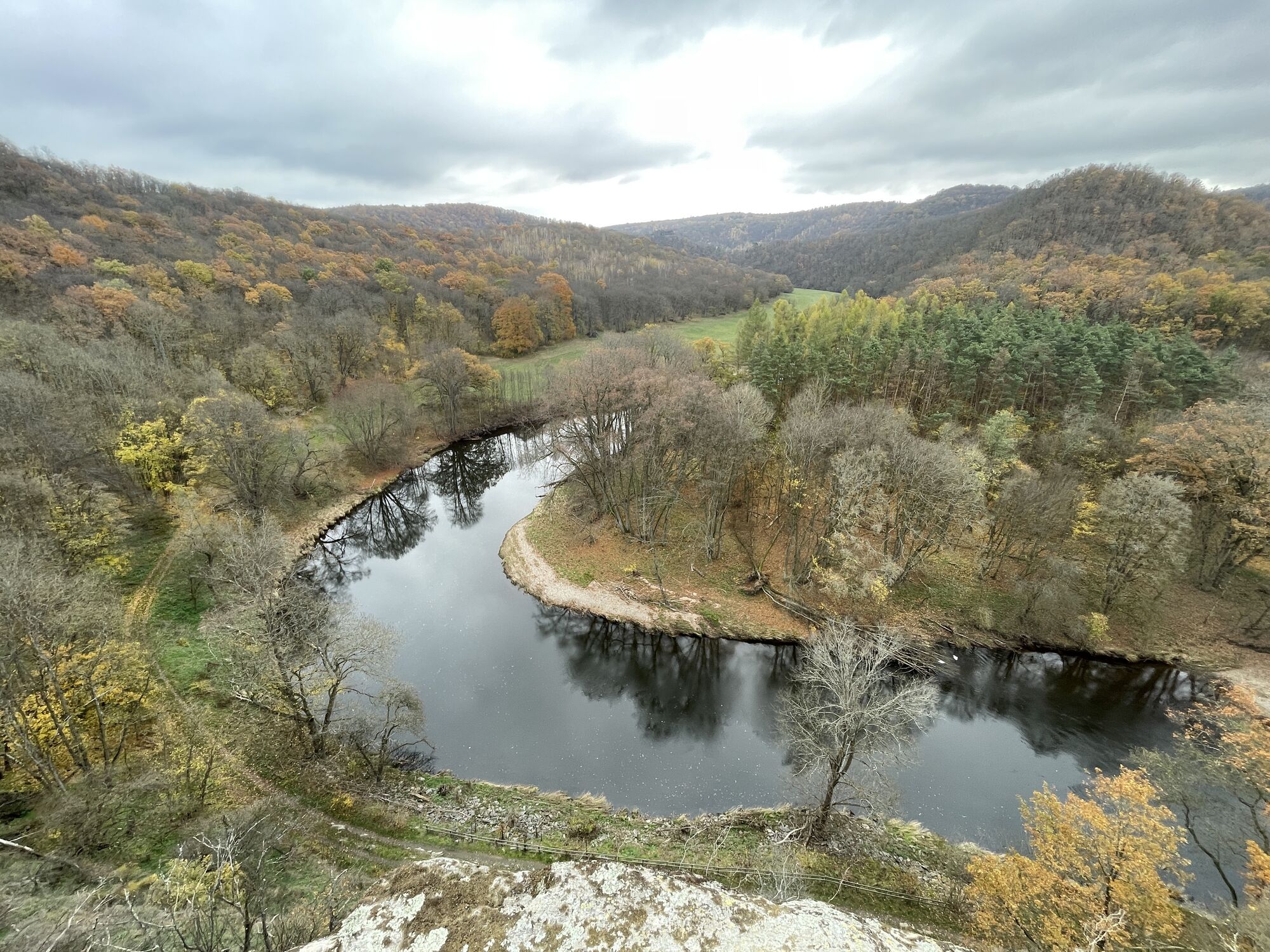
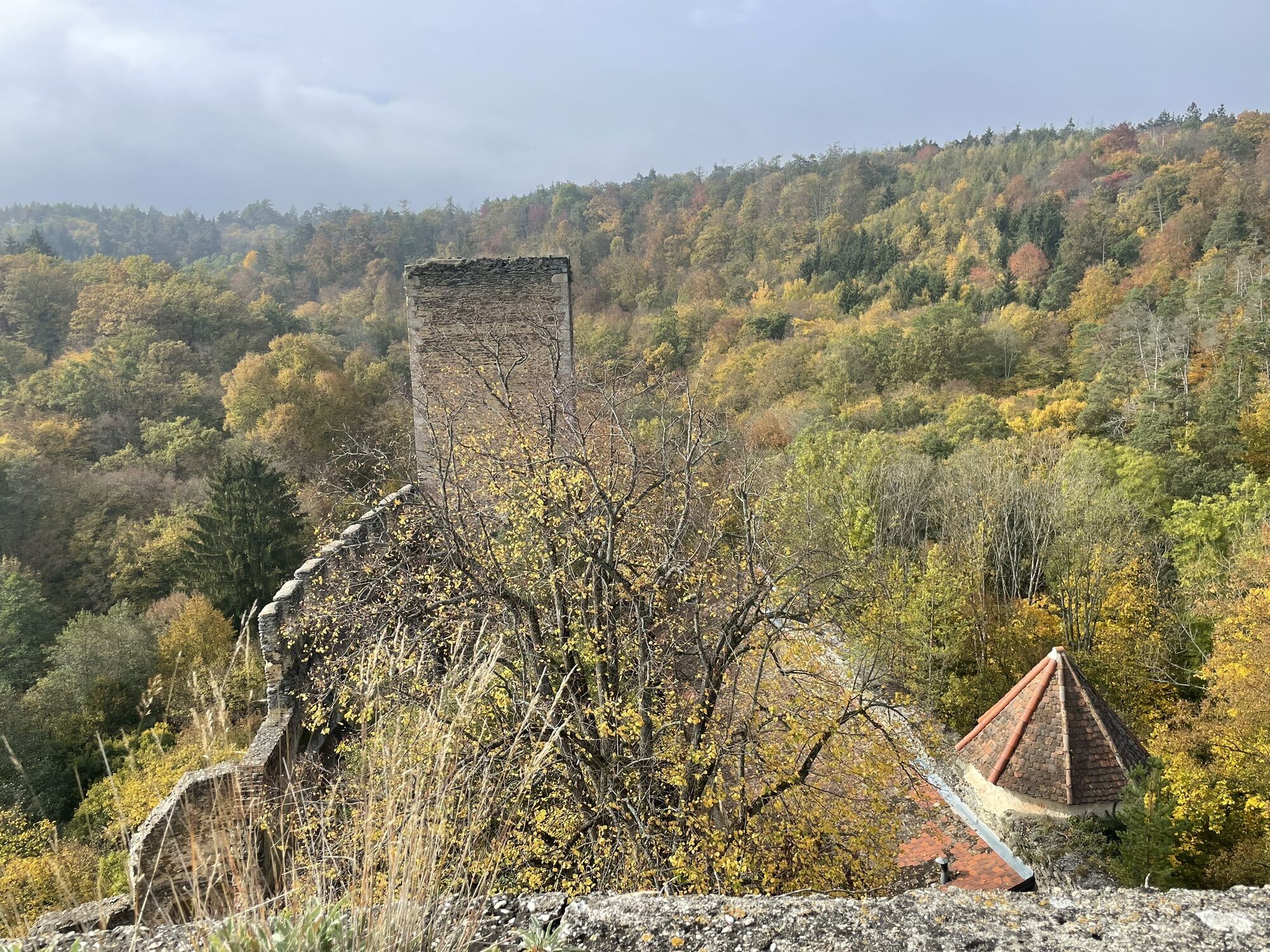
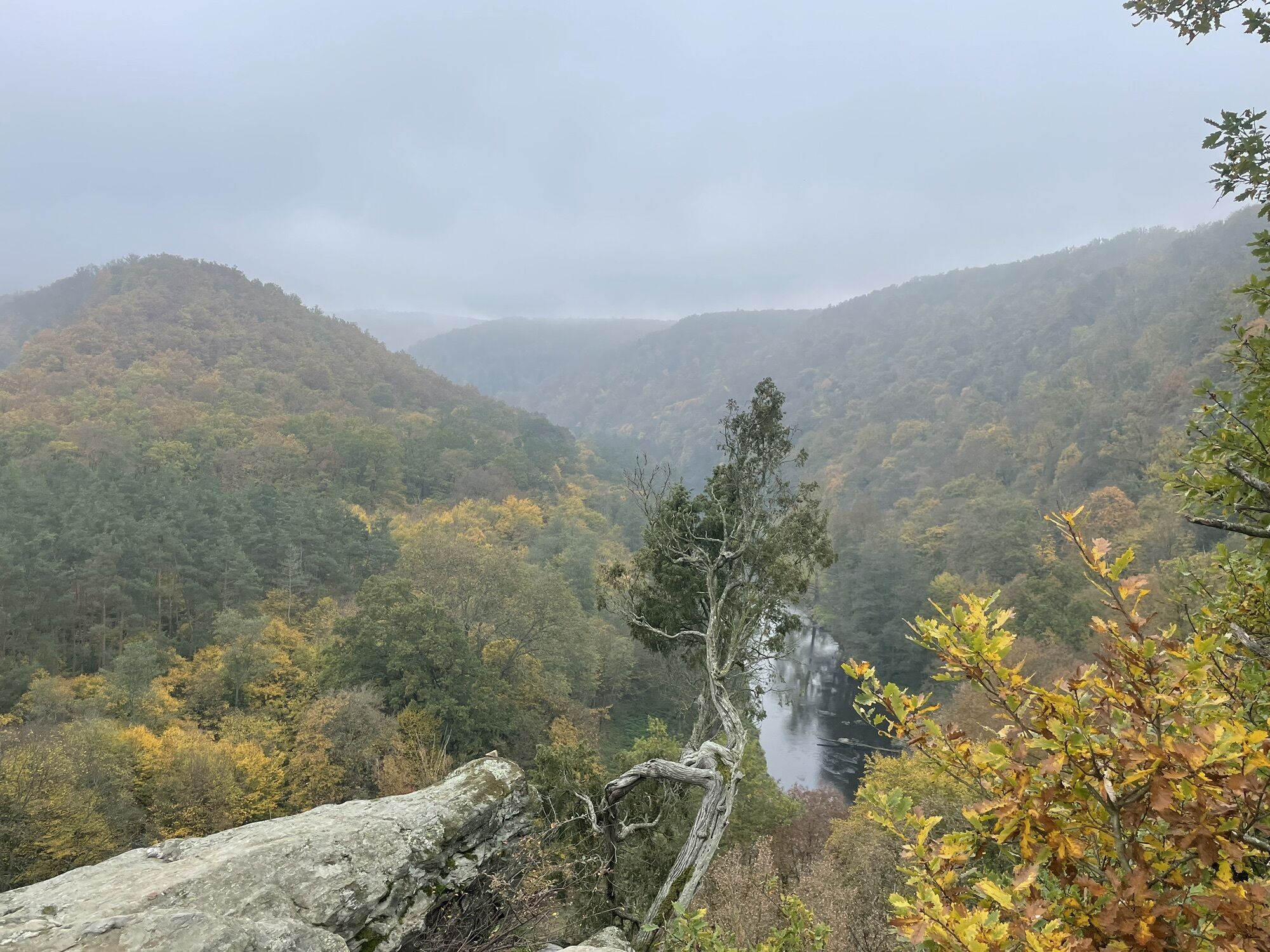
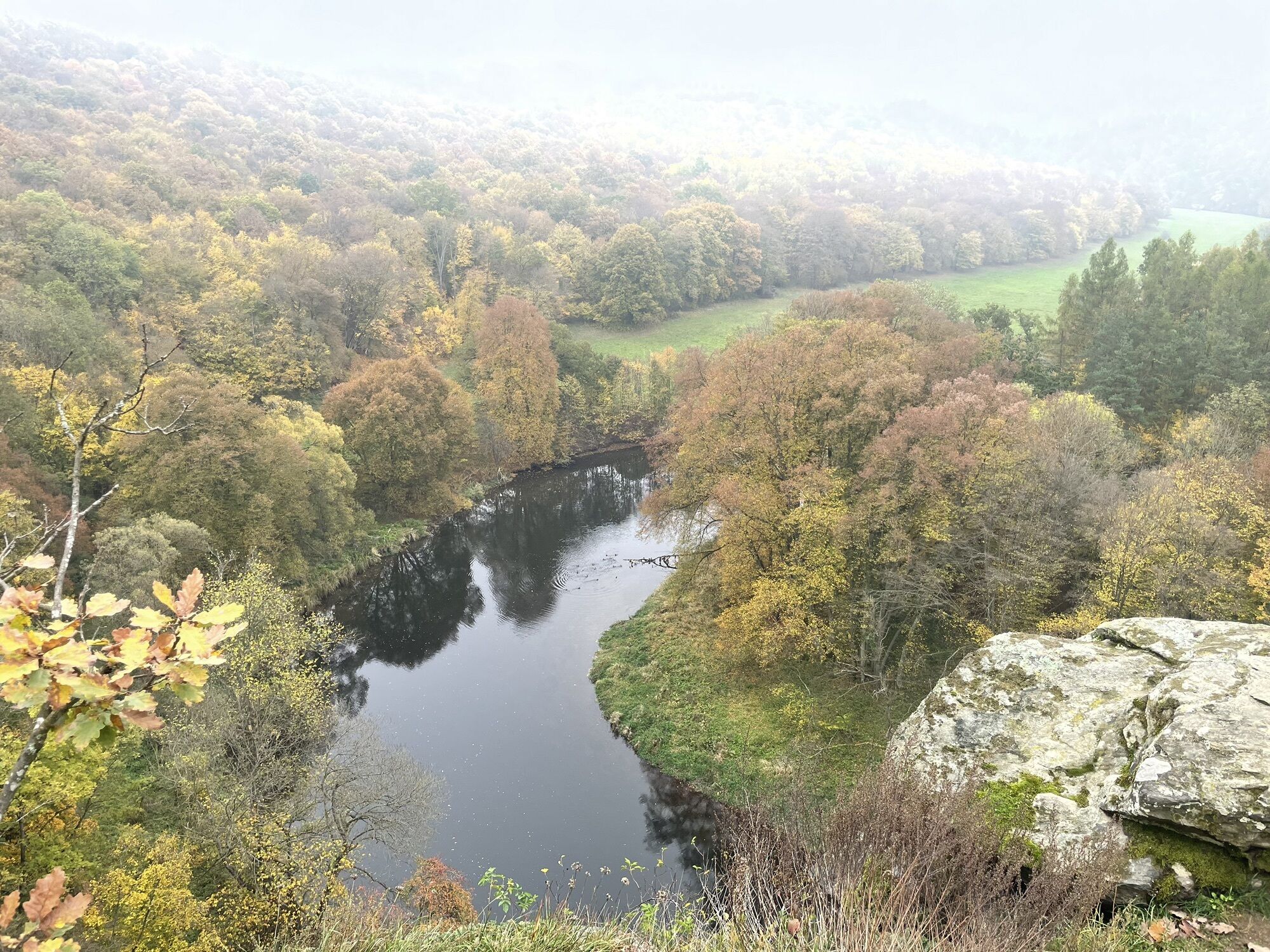
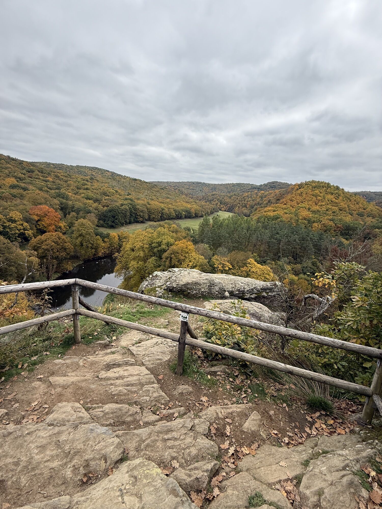
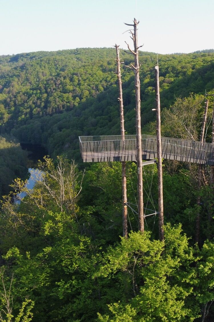
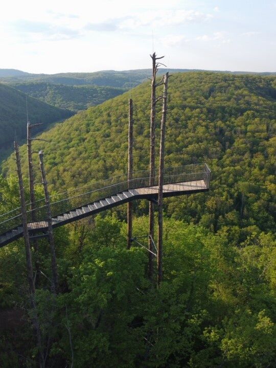
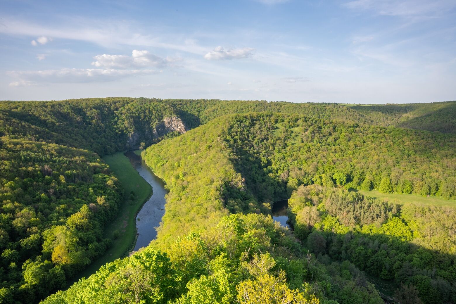
Tato stezka nabízí nádherné výhledy ze dvou vyhlídkových bodů vysoko nad řekou Thaya. Z nové vyhlídky "Umlaufblick" je nádherný výhled na rakouský a český Umlaufberg.
Při výstupu nad ní se můžete rozhodnout,...
Tato stezka nabízí nádherné výhledy ze dvou vyhlídkových bodů vysoko nad Åekou Thaya. Z nové vyhlídky "Umlaufblick" je nádherný výhled na rakouský a Äeský Umlaufberg.
PÅi výstupu nad ní se můžete rozhodnout, zda si cestu zkrátíte, nebo zda půjdete celou smyÄku Umlaufberg. S trochou štÄstí zde můžete zahlédnout i opalující se smaragdové ještÄrky. Podél cesty rostou kosatce vedle suchomilných dubů, jalovců a borovic. Na úpatí Umlaufbergu máte velkou šanci spatÅit užovku hladkou (Aesculapian) a louky podél Åeky Thaya jsou v létÄ obzvlášÅ¥ živé a druhovÄ bohaté.


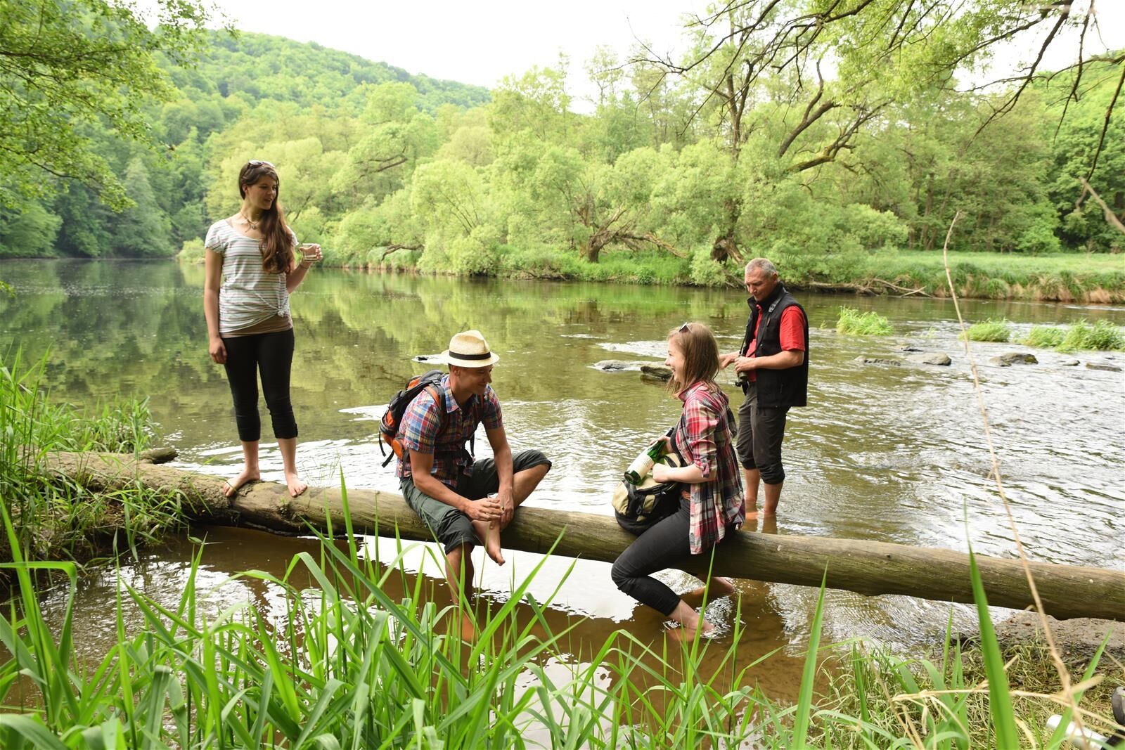
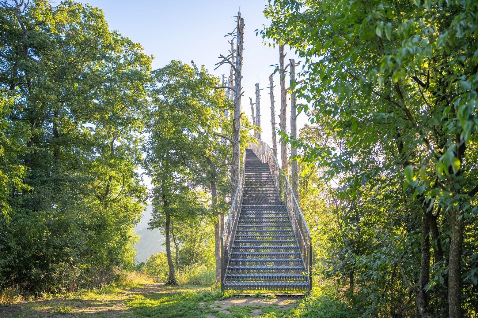

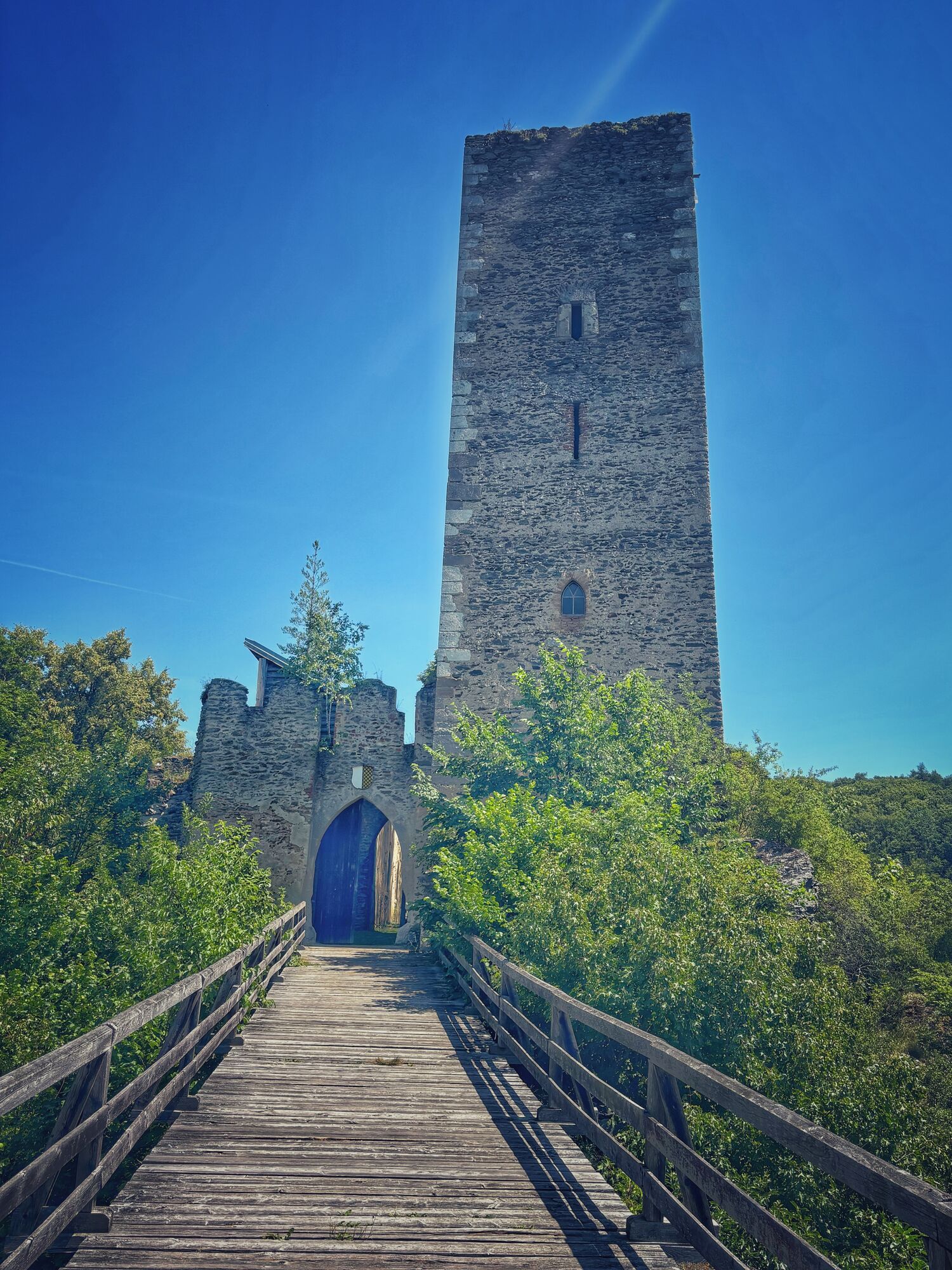
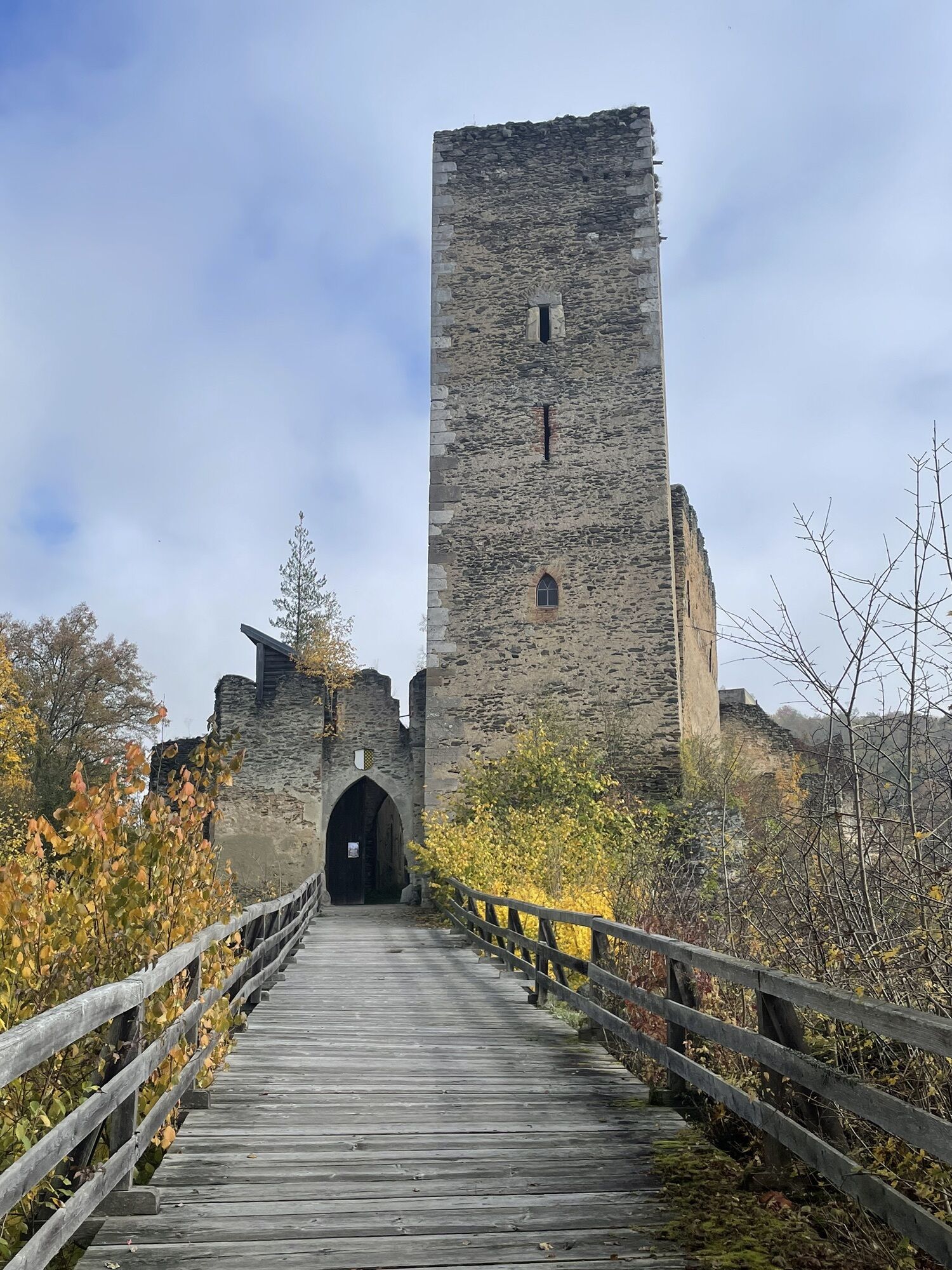
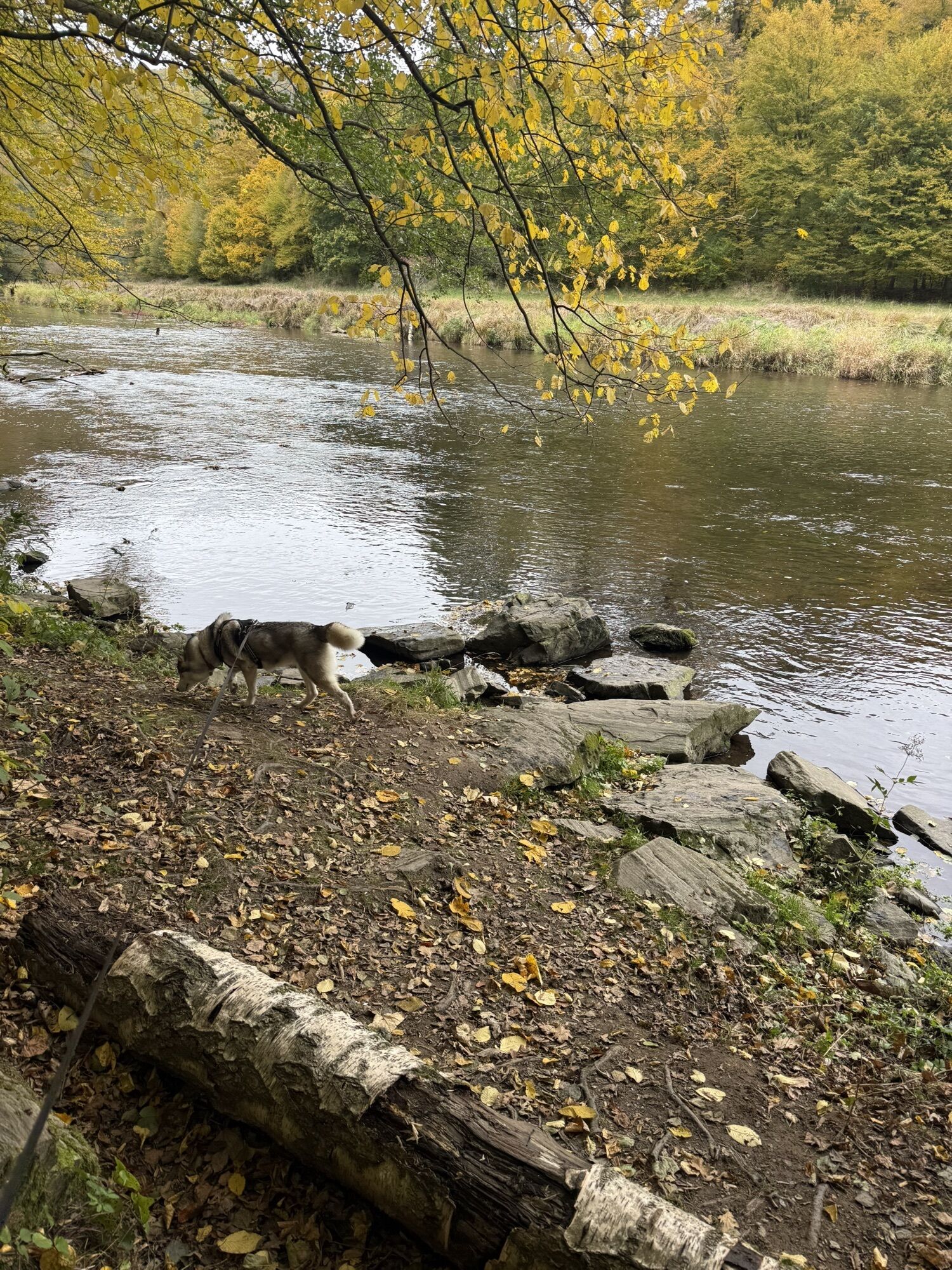
Prefer short and "snappy" or a bit longer and more leisurely? On the Merkersdorf circular route, you have the choice. Initially, however, as on the Kaja route, you go through the meadow path at the end of the parking lot of the Ruine Kaja into the forest. Where Kajabach and Merkersdorferbach meet, the grey-marked hiking trail turns left and follows the babbling of the Kajabach to its confluence with the Thaya.
Once there, it is recommended to linger a little. With some luck, the kingfisher flies by during the short break. Sightings of otters or black storks are also possible here.
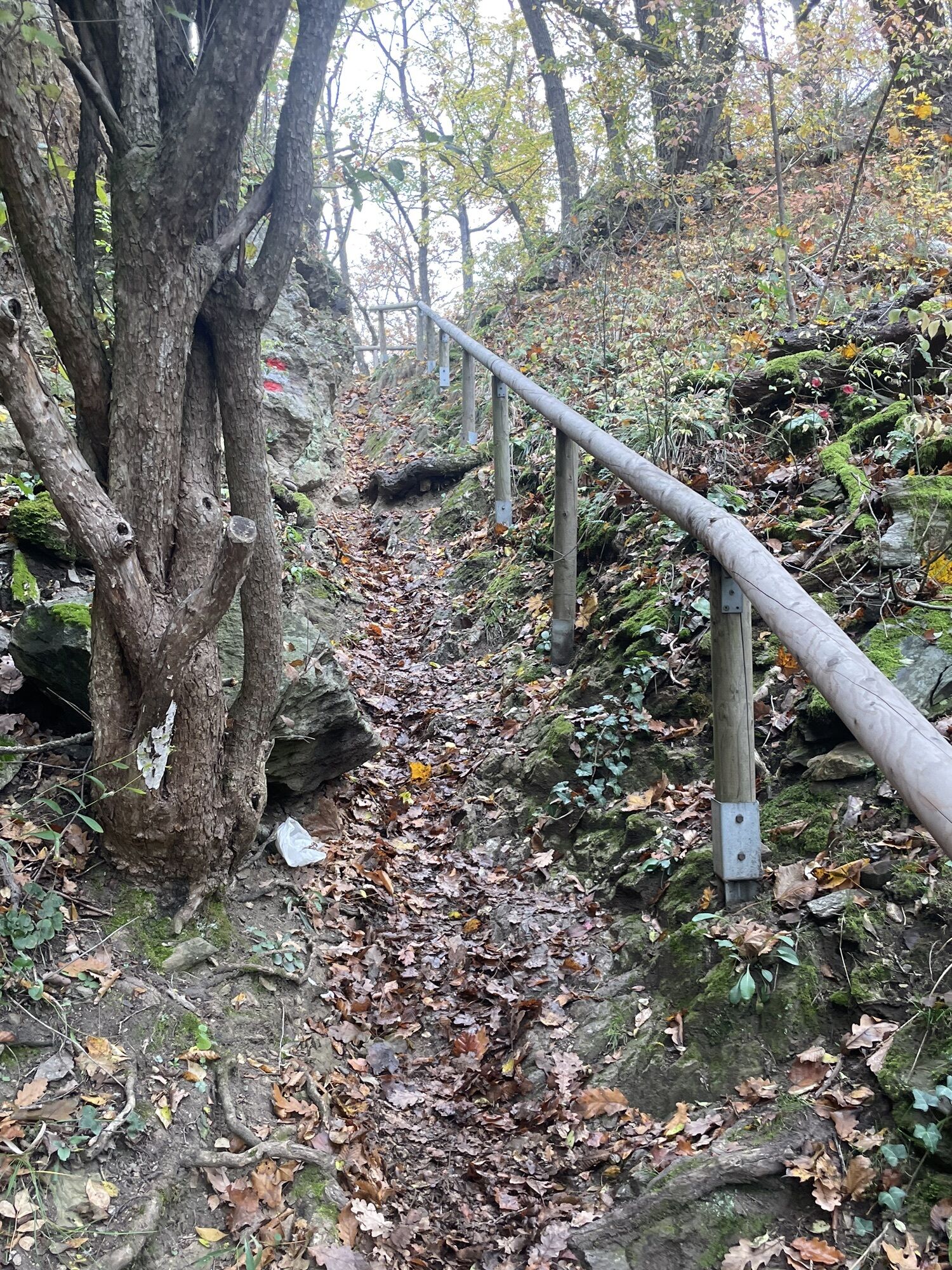
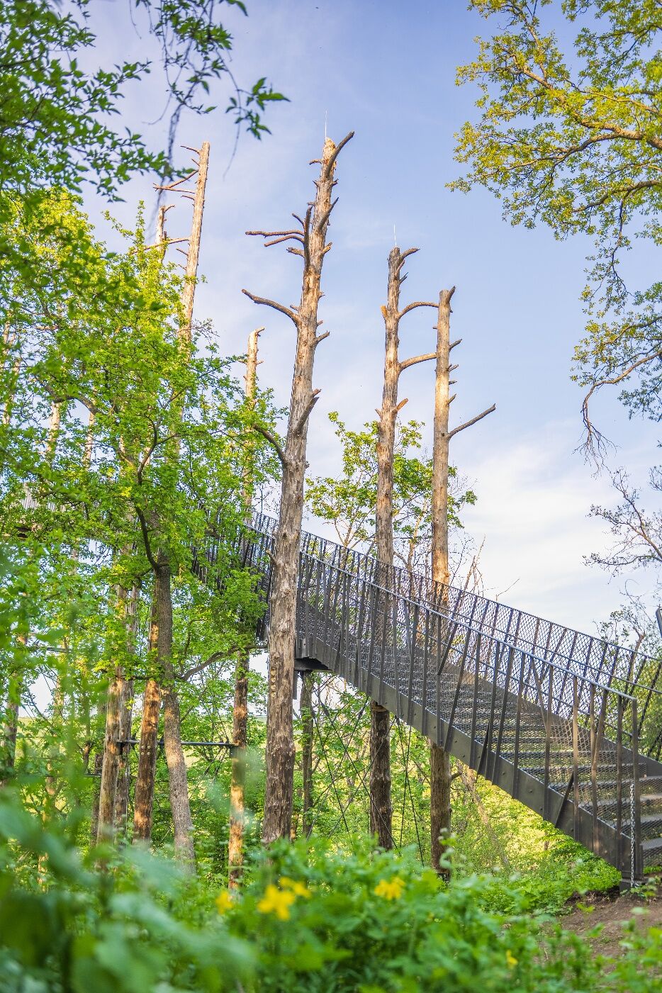
A bit upstream, at a fork, you finally need to decide: Variant 1 consistently follows the grey marking. It is shorter but challenges hikers with two steep ascents. Once at the top, you are each time rewarded with a wonderful view of the Thaya – once at the crossing and twice on the Granitzsteig. At the top of the Granitzsteig, the new viewing platform offers beautiful impressions and new perspectives.
Variant 2 is longer and only has one ascent. At the fork, just continue straight ahead upstream along the red marking. Just below the crossing viewpoint, a few minutes later, you reach the so-called Snake Rock. Emerald lizards and Aesculapian snakes like to sunbathe here. It takes about 45 minutes to walk the Thaya bend around the Umlaufberg, once with the sun in your face, once at your back. Finally, you meet the grey marking again, where the path comes down from the crossing.
A bit upstream, at the next junction, it goes steeply uphill via the Granitzsteig. In spring, the slope here is covered with liverleaf and wild garlic emits its distinctive scent. At one spot, you can see the Thaya from a bird's-eye view and enjoy the view before returning via a field path to Merkersdorf.
Sturdy footwear
Some steep, rocky trail sections and climbs
Vienna: A 22 – Stockerau – S3 – B 303 to Hollabrunn – to the roundabout with L 1027 (Unterretzbach) continue to Niederfladnitz on L 38 to Hardegg
Linz: A 7 towards Freistadt - B 310 to Freistadt - B 38 via Zwettl to Rastenfeld – turn left here towards Horn – B 45 to Sigmunsherberg – L 1155 to Weitensfeld – L 1065 to Waschbach – L 1044 to the intersection with L 38 (turn left) and continue on L 38 to Hardegg. From Hardegg it is another 5 km to the parking lot of the Ruine Kaja.
Those arriving by bus go down the lane from the Merkersdorf stop towards the Ruine Kaja and reach the parking lot at the Ruine Kaja after approximately one kilometer.
Parking lot Ruine Kaja, Merkersdorf
As a reminder of your hike around the Thayatal National Park, you can get a hiking badge at the ticket office of the National Park Thayatal and at the Ruine Kaja.
Hiking badges are round plaques designed and inscribed with woodburning, serving as souvenirs and as recognition for outstanding achievements. Diligent hiking badge collectors are rewarded with a free premium hiking badge. More information can be found at http://www.wandermarken.at/
In May 2025, the new attraction viewing platform "Umlaufblick" was completed. From here, visitors have a unique view of the Umlauf mountains of the Thayatal. The highest point of the viewing platform is 120 m above the river. Here the Thayatal lies at your feet, and the view of the numerous river loops is incredibly impressive!
Získejte přehled Vždy živě na místě s více než 9 500 webkamerami. bergfex Jako uživatel Pro si nyní můžete zobrazit odpovídající webové kamery pro mnoho prohlídek v aplikaci prohlídky z. Můžete si tak přímo prohlédnout aktuální podmínky. Aktivity na trase

Hardegg, Niederösterreich/Österreich
05.07.2026 – Turistika
Kaya, Merkersdorf, Umlaufblick
21.06.2026 – Turistika
Hardegg, Niederösterreich/Österreich
09.05.2026 – TuristikaHardegg, Niederösterreich/Österreich
03.05.2026 – TuristikaHardegg, Niederösterreich/Österreich
26.04.2026 – TuristikaHardegg, Niederösterreich/Österreich
25.02.2026 – Turistika
Hardegg, Niederösterreich/Österreich
06.02.2026 – Turistika
Oblíbené prohlídky v okolí
- 4,5
DAC Radtour-Weinviertel
středníJízda na kole 55,1 km - 4,4
Rundwanderung Nationalpark THAYATAL
světloTuristika 14,0 km - 4,3
Nationalpark Thayatal Radweg Süd und Nord
středníMountainbike 63,2 km - 4,5
Kellergassenrundwanderweg
středníTuristika 8,69 km - 4,1
»tut gut« Wanderweg Pulkau | Route 2
středníTuristika 7,29 km - 4,5
Ruine Kaya
středníTuristika 12,5 km - 5,0
Ruine Kaya - Thaya Aussichtspunkt
světloTuristika 6,82 km - 4,0
Eisleiten
středníTuristika 12,9 km - 2,6
Chardonnay-Radtour
Jízda na kole 33,5 km - 5,0
Hardegger Warte
středníTuristika 5,60 km
Pěší turistika a stopování


Nenechte si ujít nabídky a inspiraci pro vaši příští dovolenou
Vaše e-mailová adresa byl přidán do poštovního seznamu.





