







Unknown viewpoint mountain, the Gaisstein above Furth


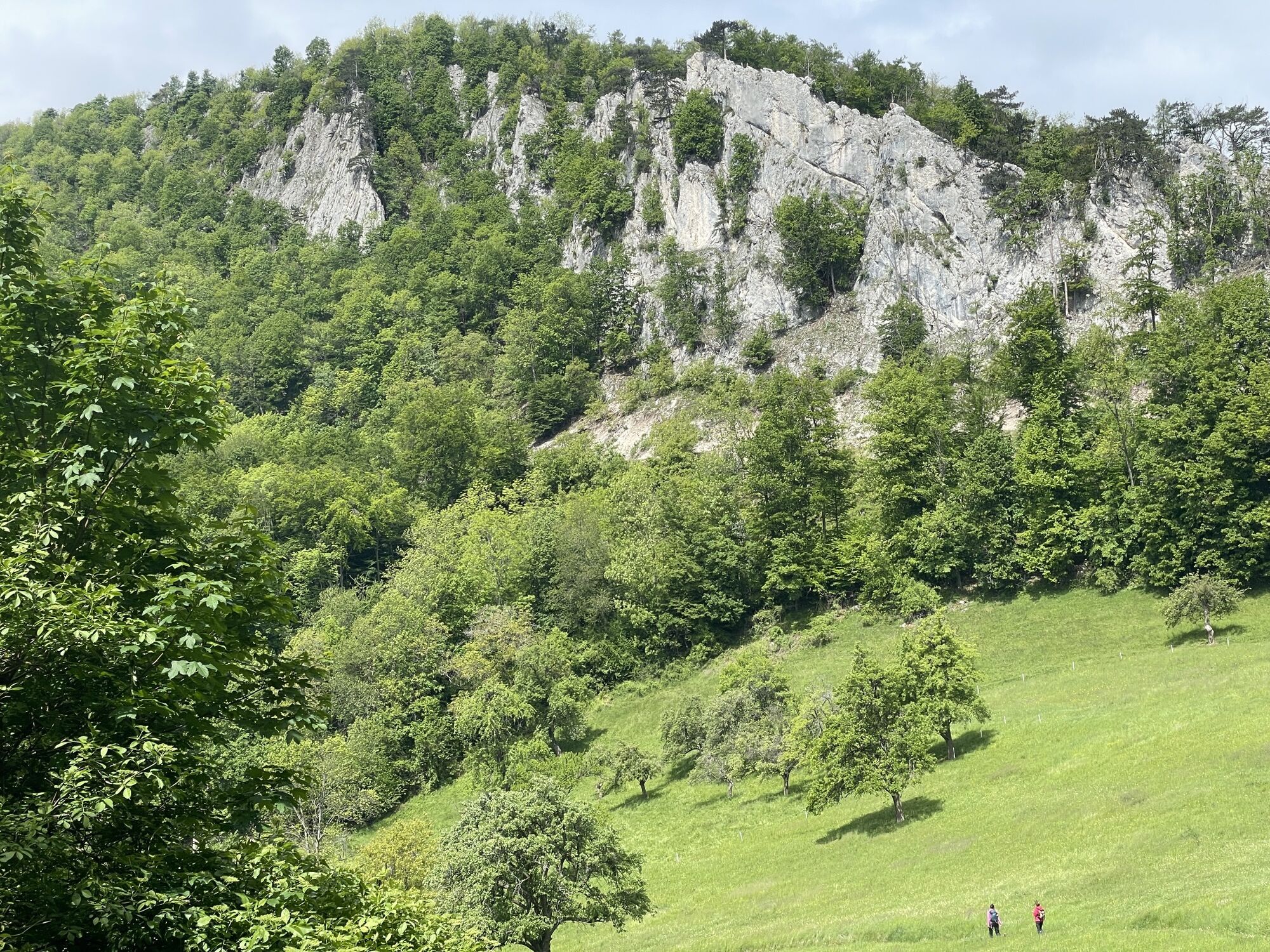
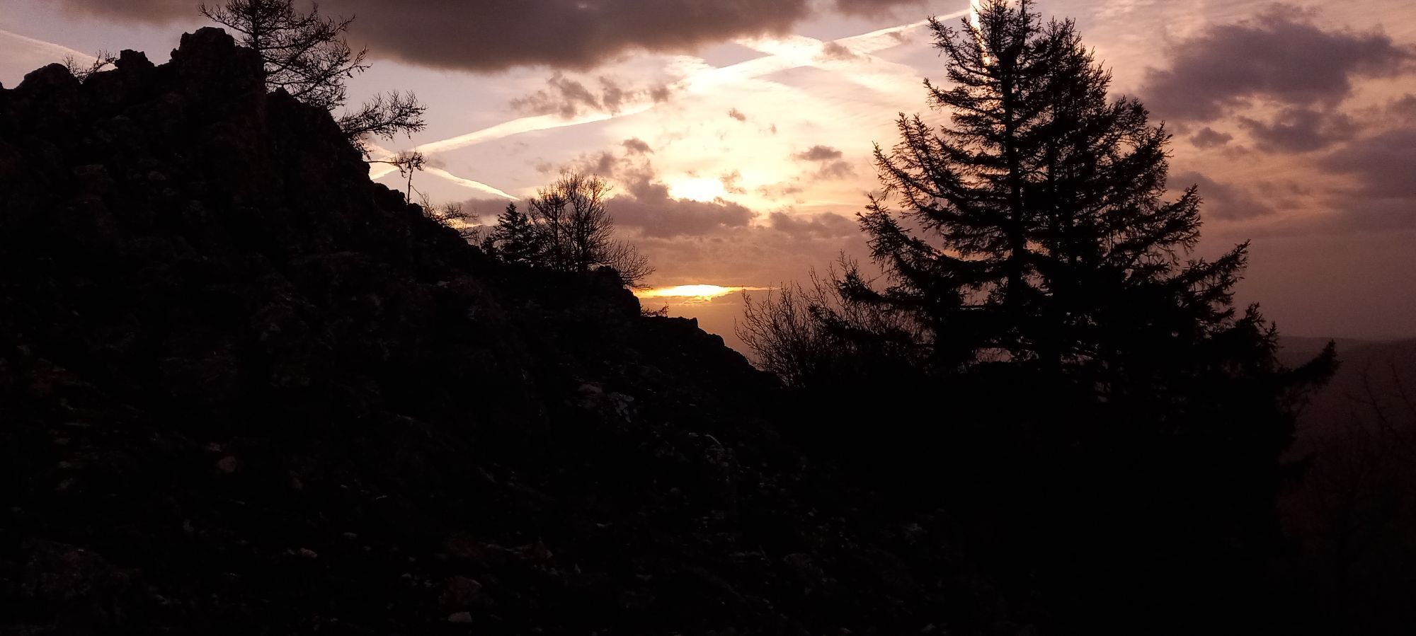
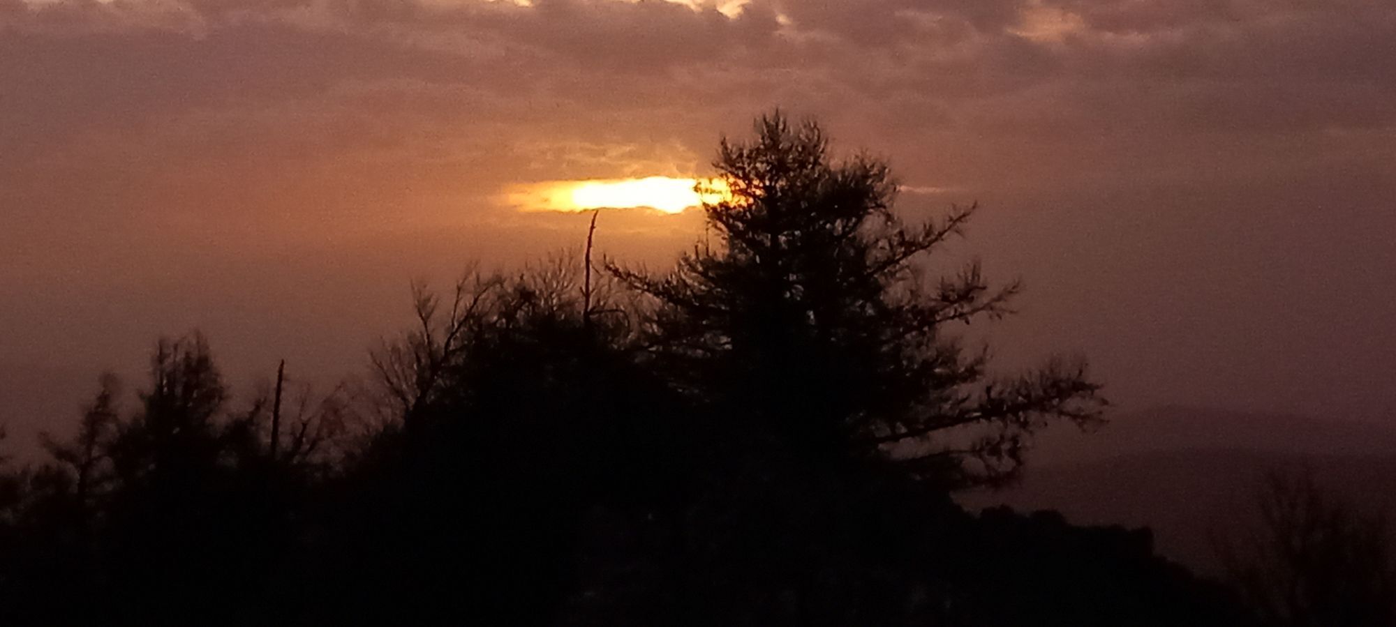
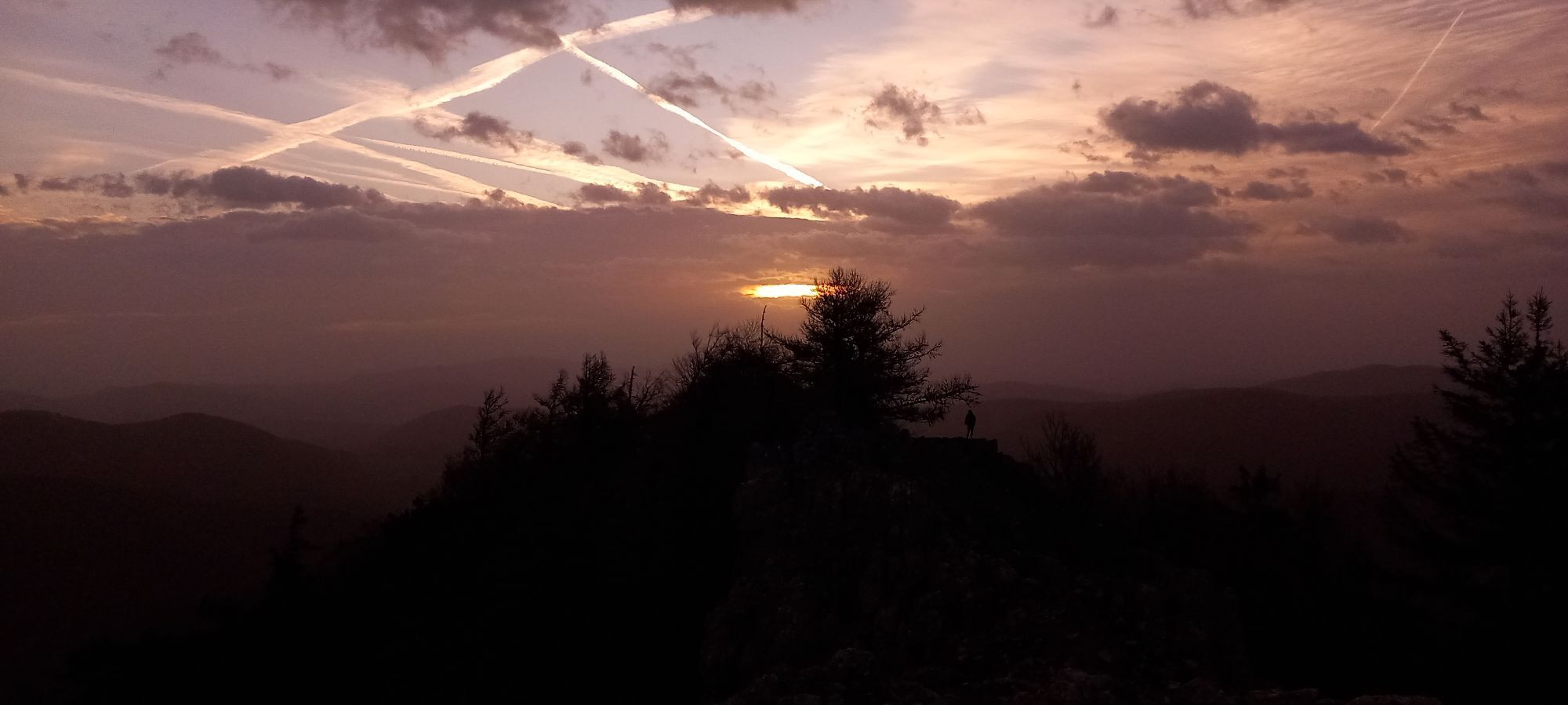
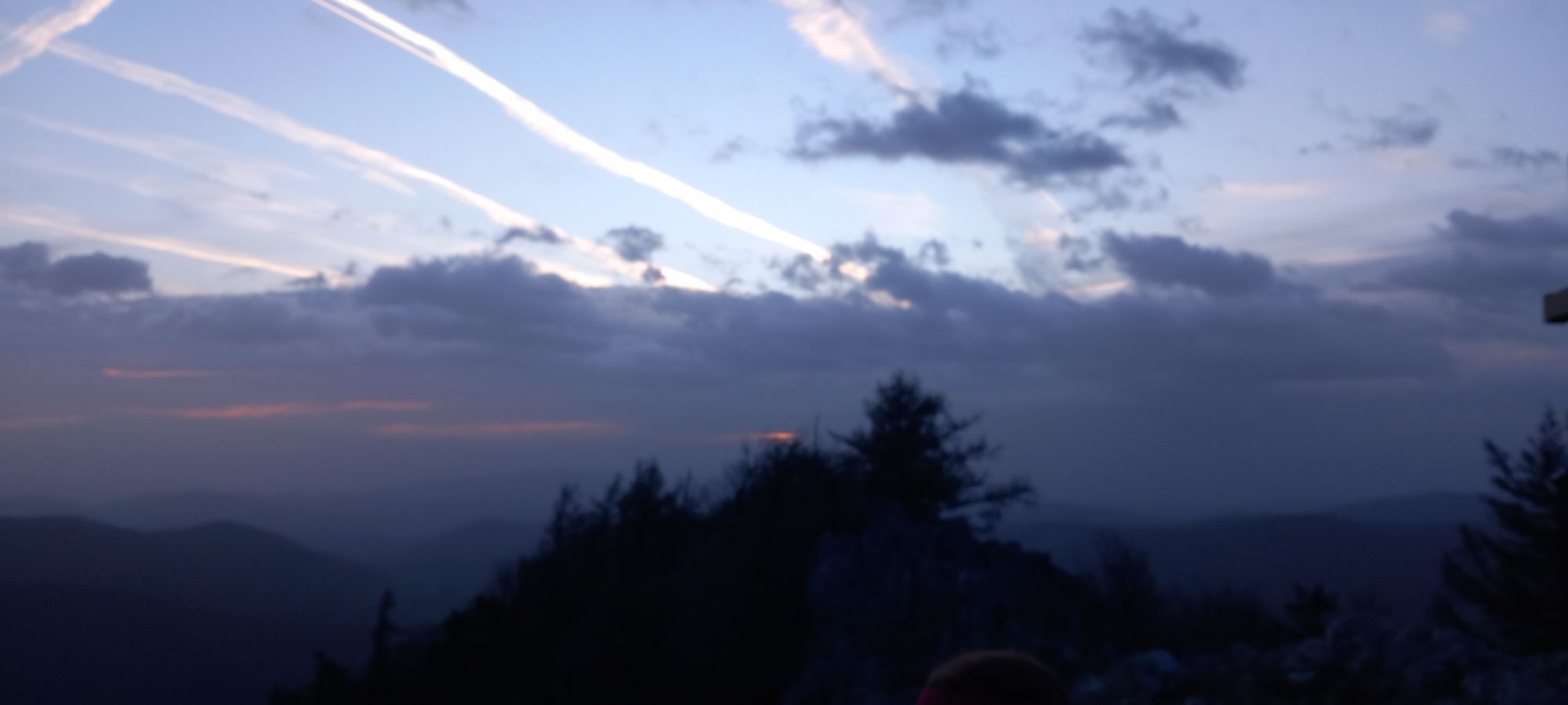
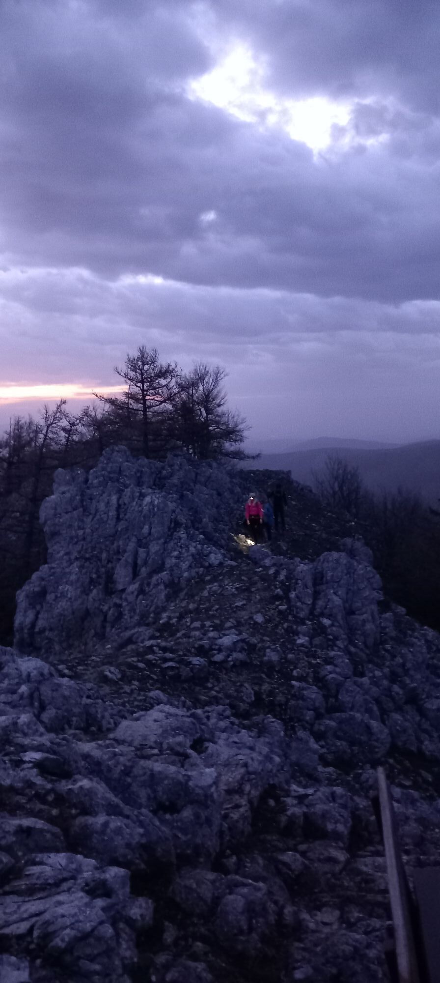

With its 975 m height, the Gaisstein remains just below the 1000-meter mark and is less known than the popular excursion destinations around Furth, but it offers a great panoramic view from its rocky summit...
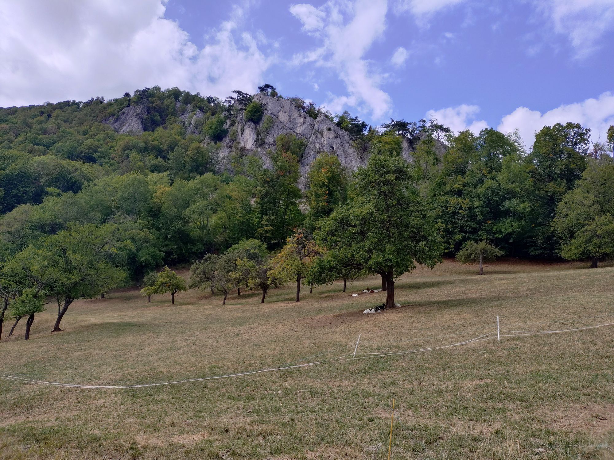
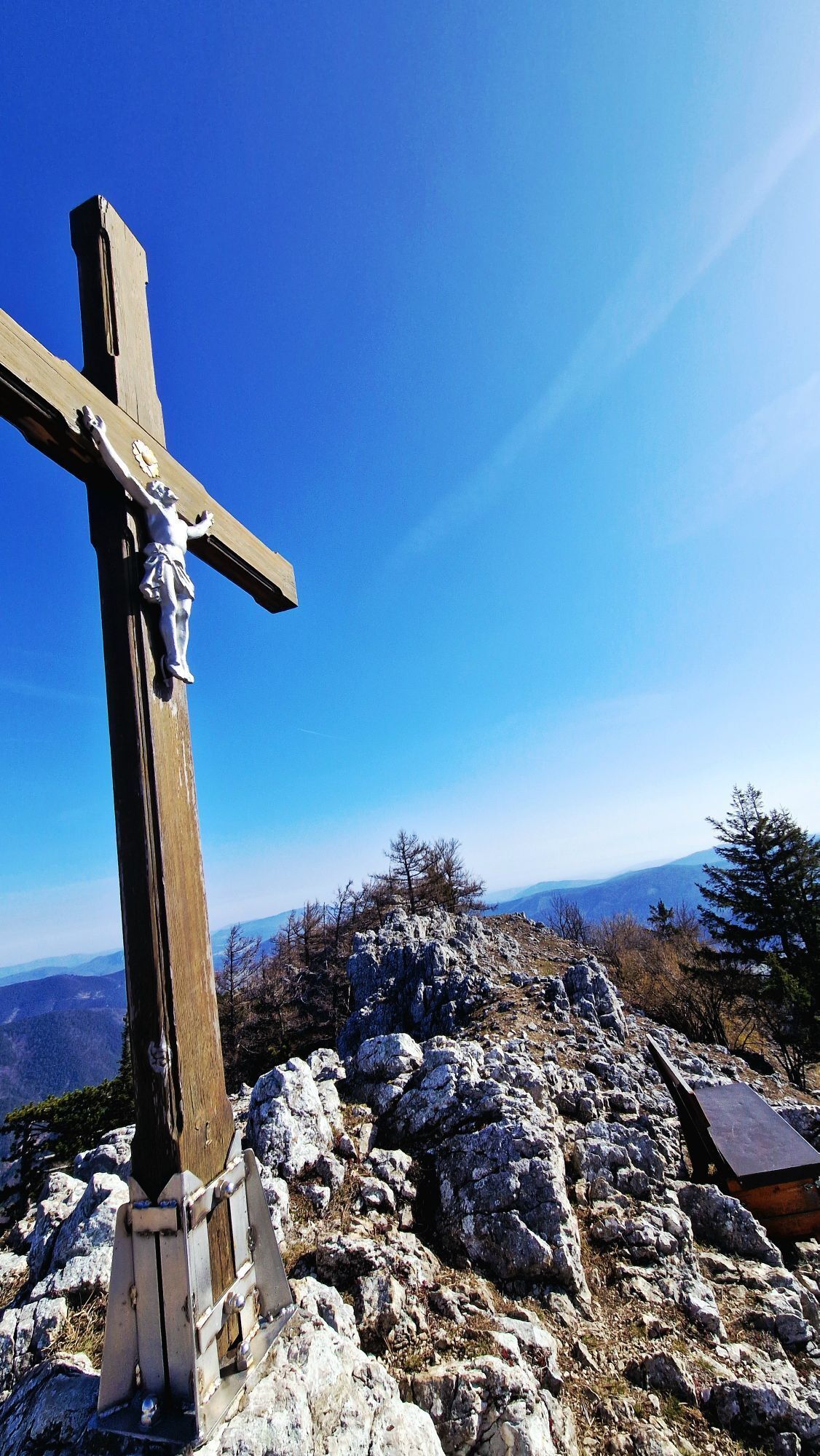
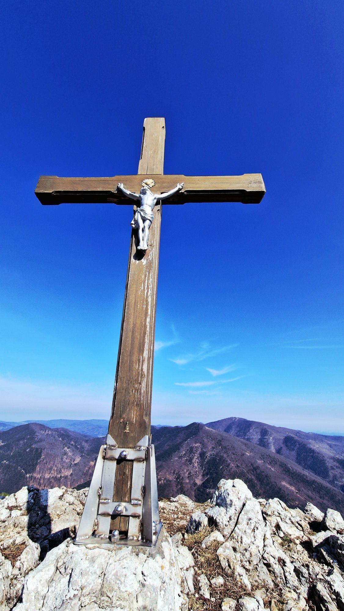
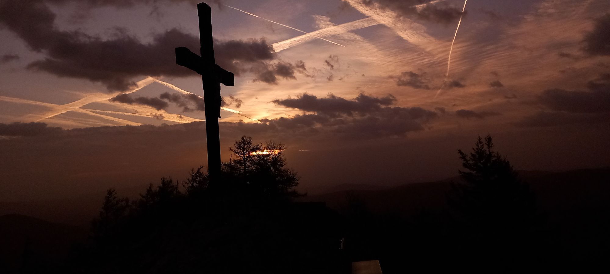
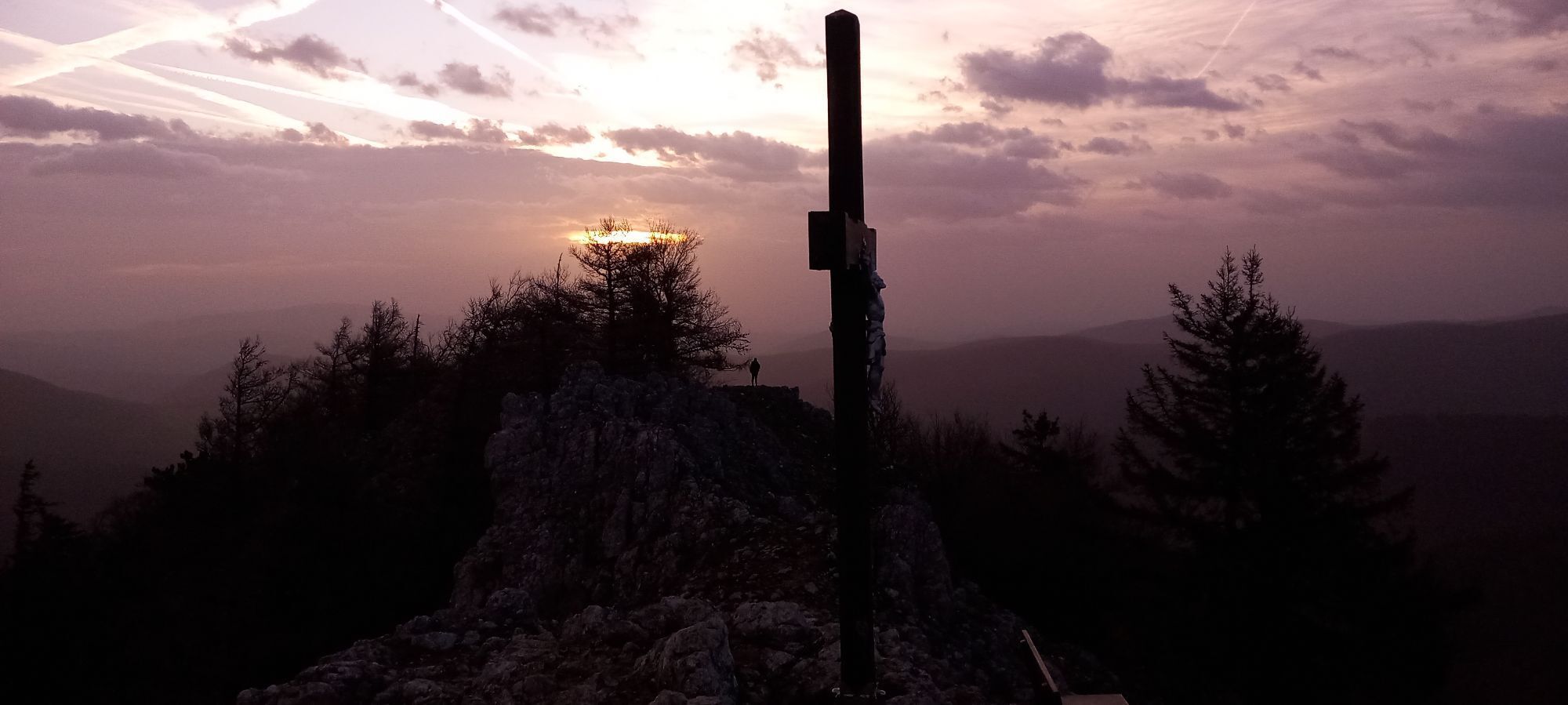
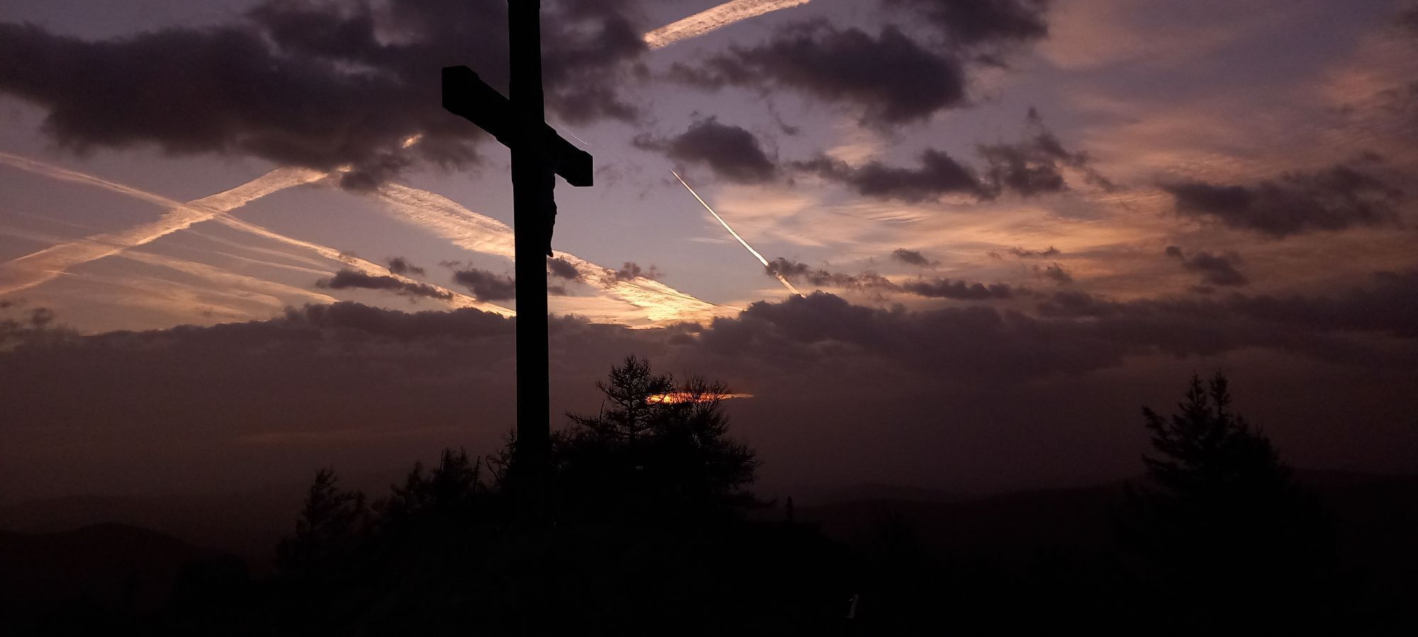
<p>With its 975 m height, the Gaisstein remains just below the 1000-meter mark and is less known than the popular excursion destinations around Furth, but it offers a great panoramic view from its rocky summit after a relatively short ascent. The route is mostly unmarked.</p><p>The ascent quickly gains height along a forest road to the Gaissteiner farm and into the game enclosure. Here the continuation is now easier to find via a new forest road.</p><p>The last part of the ascent leads as a path through the wooded southeast flank and is marked with cairns. Behind the summit, which is equipped with a summit cross, the rocks drop steeply into the depths.</p><p>Right next to the summit cross is a memorial plaque – with an appropriate motto – for Johann (Brandi) Brandstätter, for whom the Gaisstein was his local mountain.</p><p>The descent is best done via the ascent route, as other variants are hardly possible due to the game fence.</p>

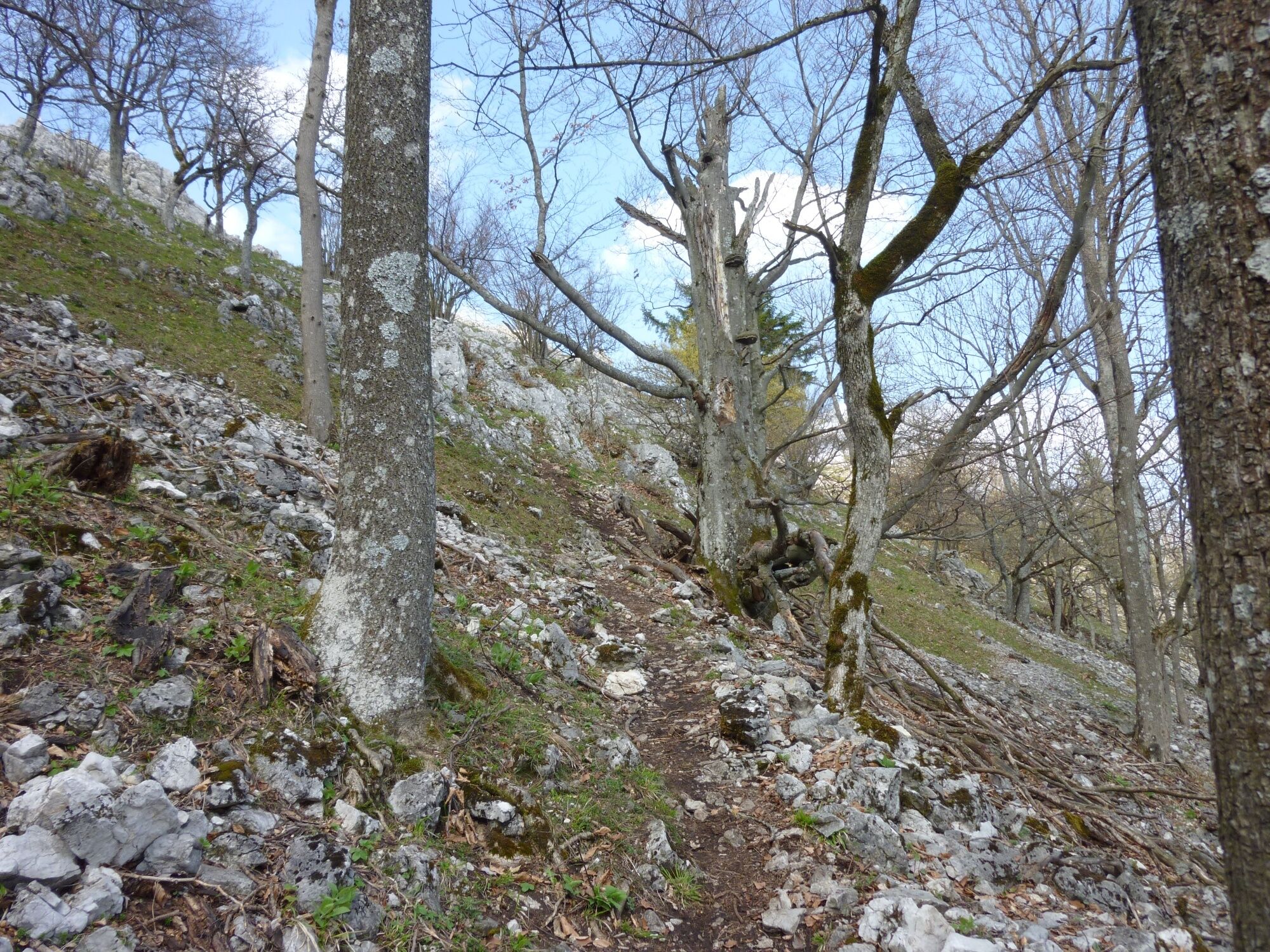
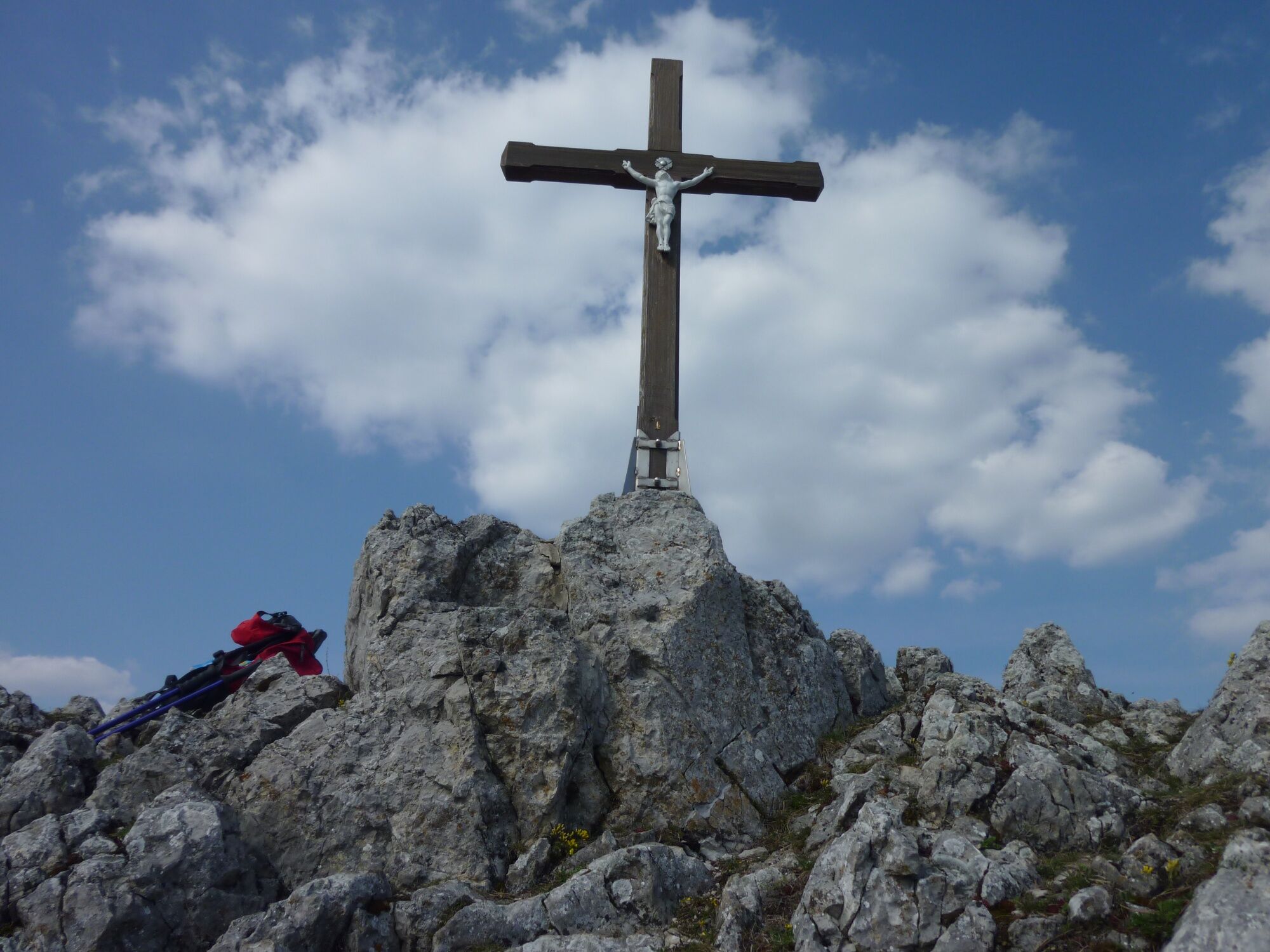

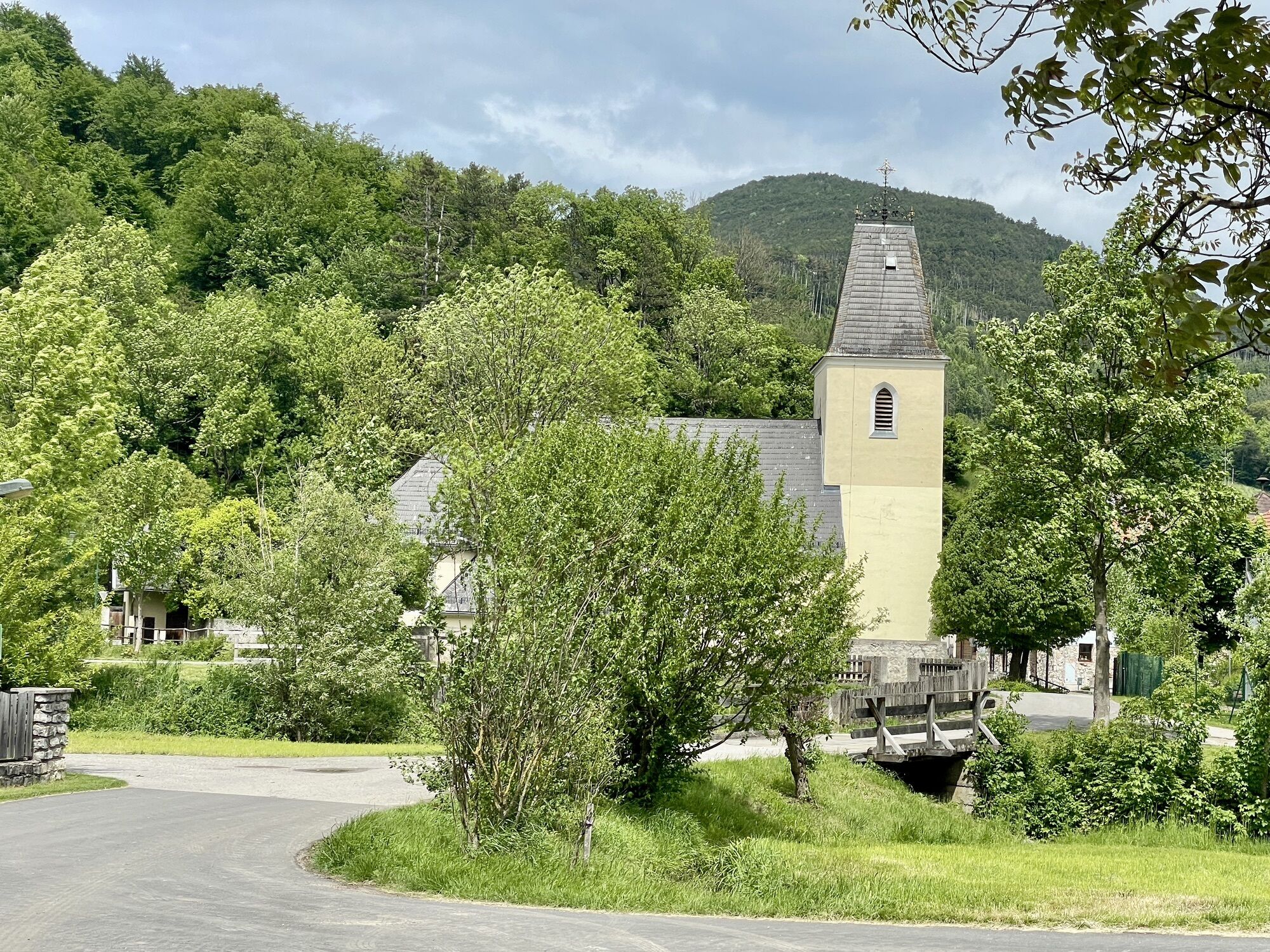
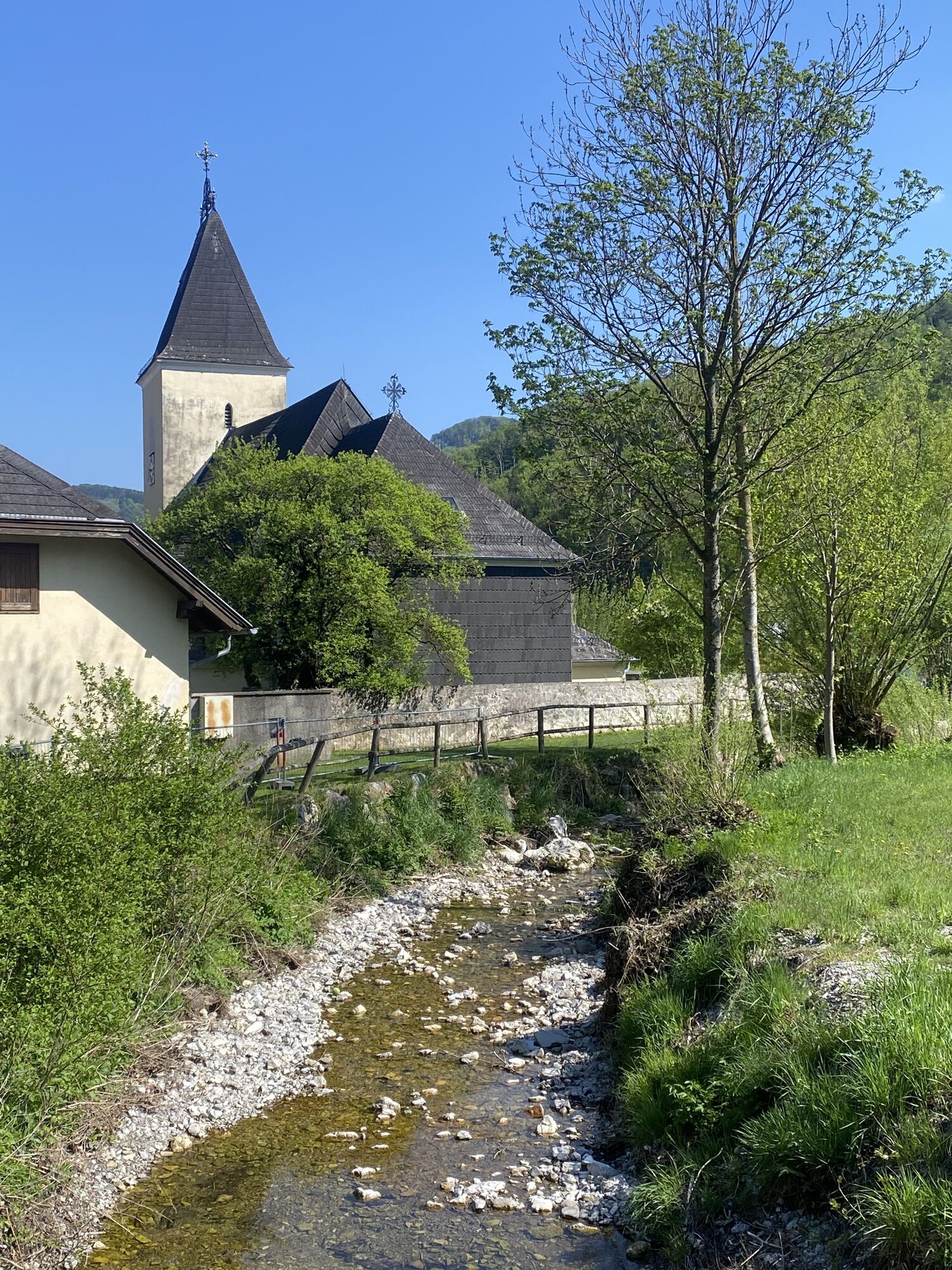
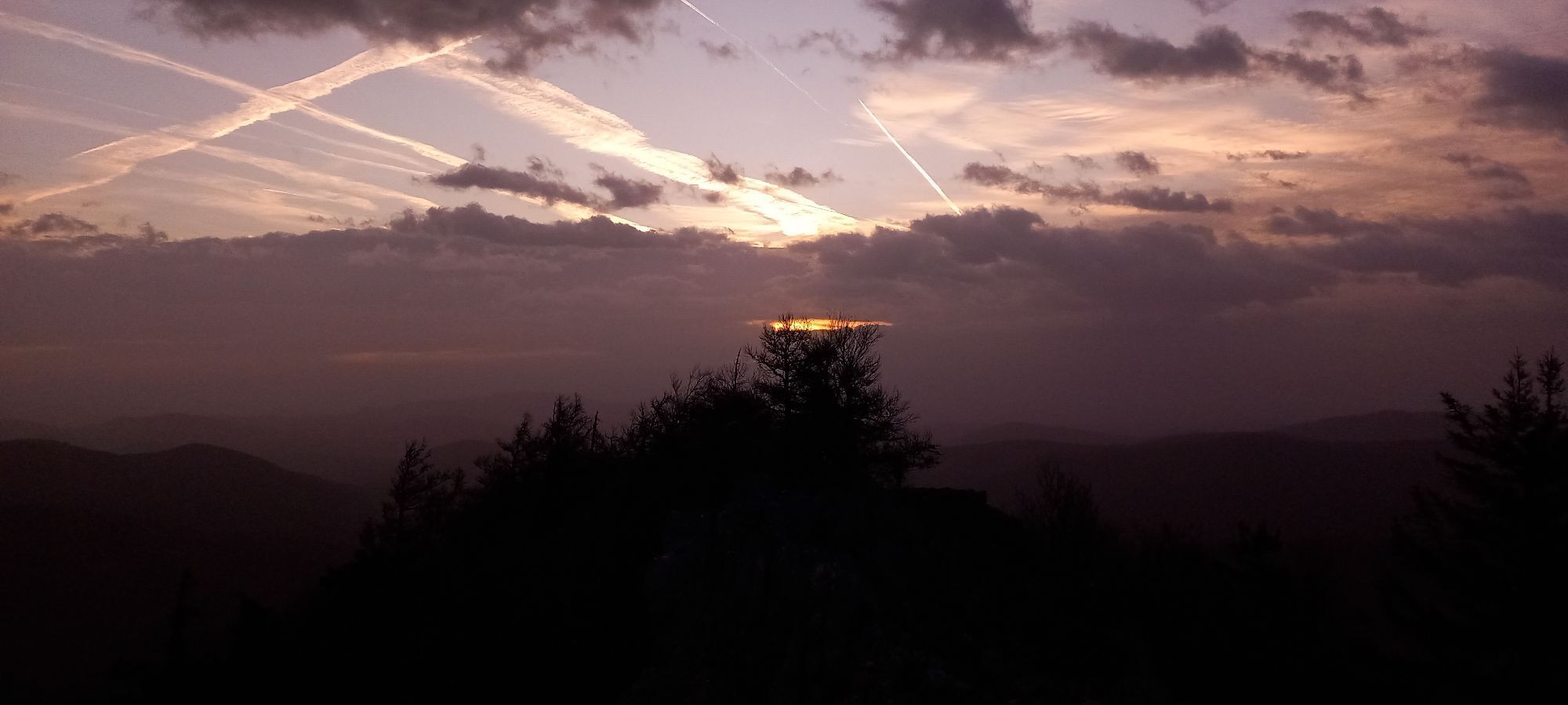
<p>The starting point is the parking lot at the church in Furth. From there, you head south along the path "Furth-Geißruck-Kieneck (Enzianhütte)" and follow the way. Next you reach the Gaissteiner farm (700 m; reporting point for alpine accidents). Between the farm and the barn, you now turn left and reach the red marking (Furth-Kieneck) along a forest road. About 100 m after the farm, you enter the game enclosure through a turnstile, which extends from here to the Atzsattel. Within the enclosure, you now follow the red marking on the forest road for another 300 m until the marking leads left downwards onto a path. However, continue ascending on the new forest road – without marking. Passing a rock face with a cave, you soon reach the meadows of the ruined Himmelsreith farm. Continuing on the forest road, you quickly reach the saddle located amid the meadows. At the highest point of this saddle (approx. 810 m), you now turn right, crossing the meadow pathless to the northeast towards the steep wooded south flank of the Gaisstein. The path leading to the summit begins inconspicuously about 50 m west of the hunting stand at the forest edge, via a small climb over the fence. The path, marked with cairns from here, first ascends in a straight line through a distinctive young forest clearing heading northeast. On a slight ridge, the path turns northwest and crosses the south slope over clearings. The last change of direction is northeast again and becoming steeper, the path soon approaches the rugged summit structure. On trail traces, you reach the summit cross (974 m above sea level), the memorial plaque, as well as the rest bench (foldable, with schnapps bottle and summit books). Warning: directly behind the summit the rock walls drop more than 50 m steeply into the depths. The summit offers a great panoramic view.</p><p>For the return, it is best to choose the same way, as many other variants are blocked by the fences of the game enclosure.</p>
<p>Normal hiking equipment</p>
<p>Sure-footedness required for the path</p><p>Directly behind the summit cross the rocks drop steeply, risk of falling</p>
<p>A2 South Motorway exit Leobersdorf, on the Hainfeld federal road B 18 to Weissenbach, turn left towards Furth and then again left on the main road in Weissenbach into the village onto the Further Straße to Schromenau. </p><p>In Schromenau turn left towards Steinwandklamm. Follow the road about 1.0 km and turn right opposite the old lime kiln into the Ebelthal. Stay on the road on the valley floor in the Ebelthal for another 2.8 km up to the end of the valley, parking lot after the last house.</p>
<p>Before the first right-hand bend, large gravel parking lot (536 m above sea level) on the right side of the road.</p>
Wienerwald Tourism
3002 Purkersdorf, Hauptplatz 11
Tel. 02231/621 76
Fax 02231/655 10
Leader Region Triestingtal
2560 Berndorf, Leobersdorfer Straße 42
Tel/Fax 02672-87001
office@triestingtal.at
Municipality of Furth an der Triesting
2564 Furth, Furth 2
Tel. 02674-88219
Fax 02674-88392
gemeinde@furth-triesting.at
www.furth-triesting.at
Aktivity na trase
-

Furth an der Triesting Wandern
12.09.2026 – Horská turistika -

Furth an der Triesting, Niederösterreich/Österreich
07.06.2026 – Turistika -

Furth an der Triesting, Niederösterreich/Österreich
27.05.2026 – Horská turistika -

Furth an der Triesting, Niederösterreich/Österreich
25.05.2026 – Turistika -

Furth an der Triesting, Niederösterreich/Österreich
10.05.2026 – Turistika -
Furth an der Triesting Wandern
03.05.2026 – Horská turistika -
Heiligenkreuz, Niederösterreich/Österreich
02.05.2026 – Turistika -
Furth an der Triesting, Niederösterreich/Österreich
24.04.2026 – Turistika -
Furth an der Triesting, Niederösterreich/Österreich
19.04.2026 – Turistika -

Furth an der Triesting, Gaisstein 976m
13.03.2026 – Turistika -
Furth an der Triesting, Niederösterreich/Österreich
16.10.2025 – Turistika
Oblíbené prohlídky v okolí
-
4.5
Erlebnisweg Peilstein...auf den Spuren der Kletterer
středníTematická stezka 6 km -
4.7
AUGUSTINERHÜTTE Parkplatz bei B210 Hoher Lindkogel, Langes Tal 20221030
středníTuristika 8.02 km -
4.7
Kleine und große Klause - Rundwanderung
světloTuristika 7.10 km -
4.7
Schöpfl
světloTuristika 9.52 km -
4.6
Kieneck über Enziansteig & Mareschsteig
světloTuristika 13.8 km -
4.6
Wienerwald: Maria Raisenmarkt - Peilstein
světloZimní turistika 6.82 km -
4.7
Mariahilfberg und seine Geheimnisse
světloTuristika 4.10 km -
4.6
Panorama hike Hafnerberg
světloTuristika 8.78 km -
4.6
Von Furth an der Triesting auf das Hocheck, zurück über Eberbach
středníTuristika 14.3 km -
4.6
Kieneck über den Enziansteig
světloTuristika 12.6 km
Pěší turistika a stopování


Nenechte si ujít nabídky a inspiraci pro vaši příští dovolenou
Vaše e-mailová adresa byl přidán do poštovního seznamu.





