







2-day circular hike from Payerbach to Knofeleben
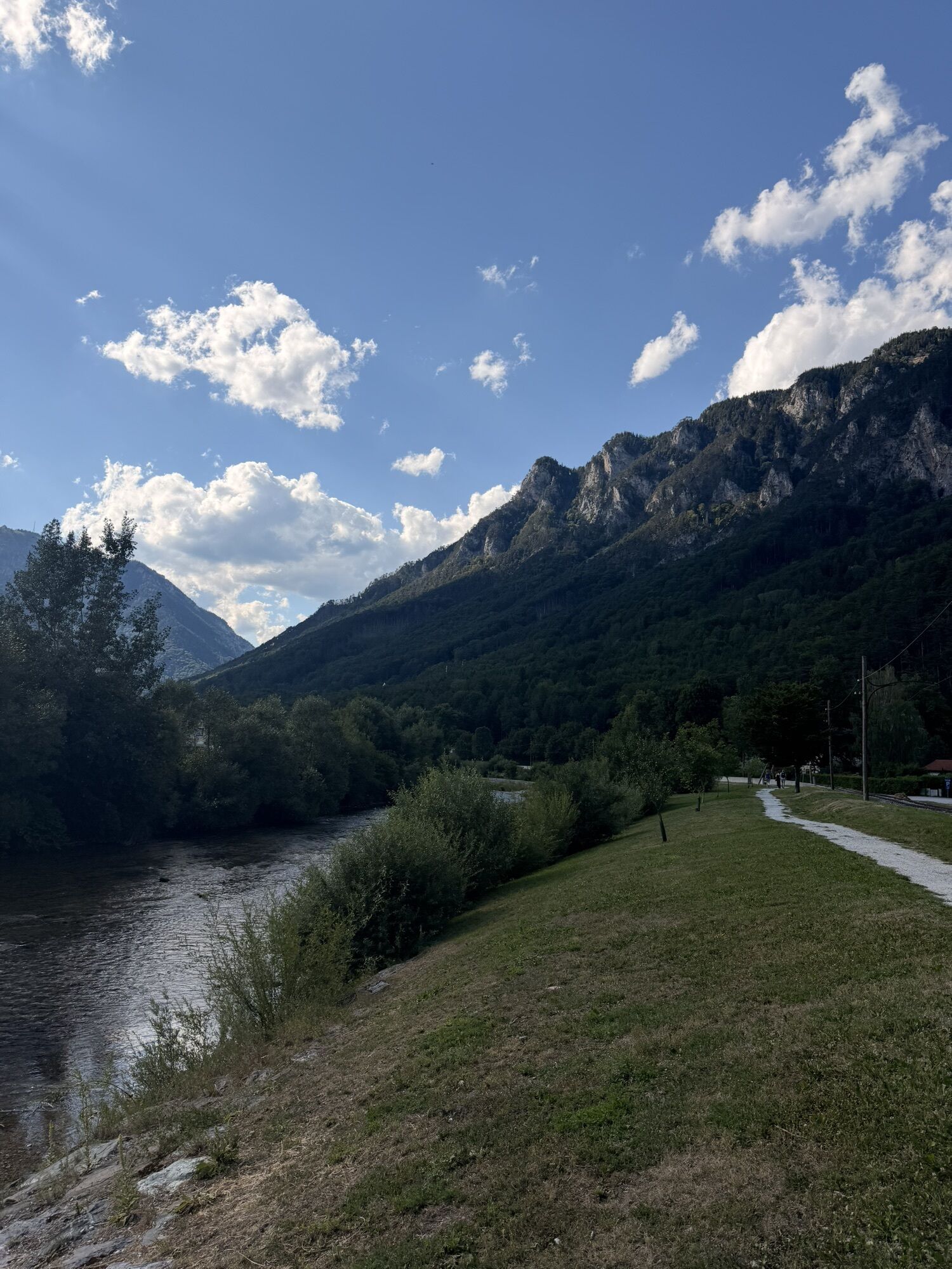
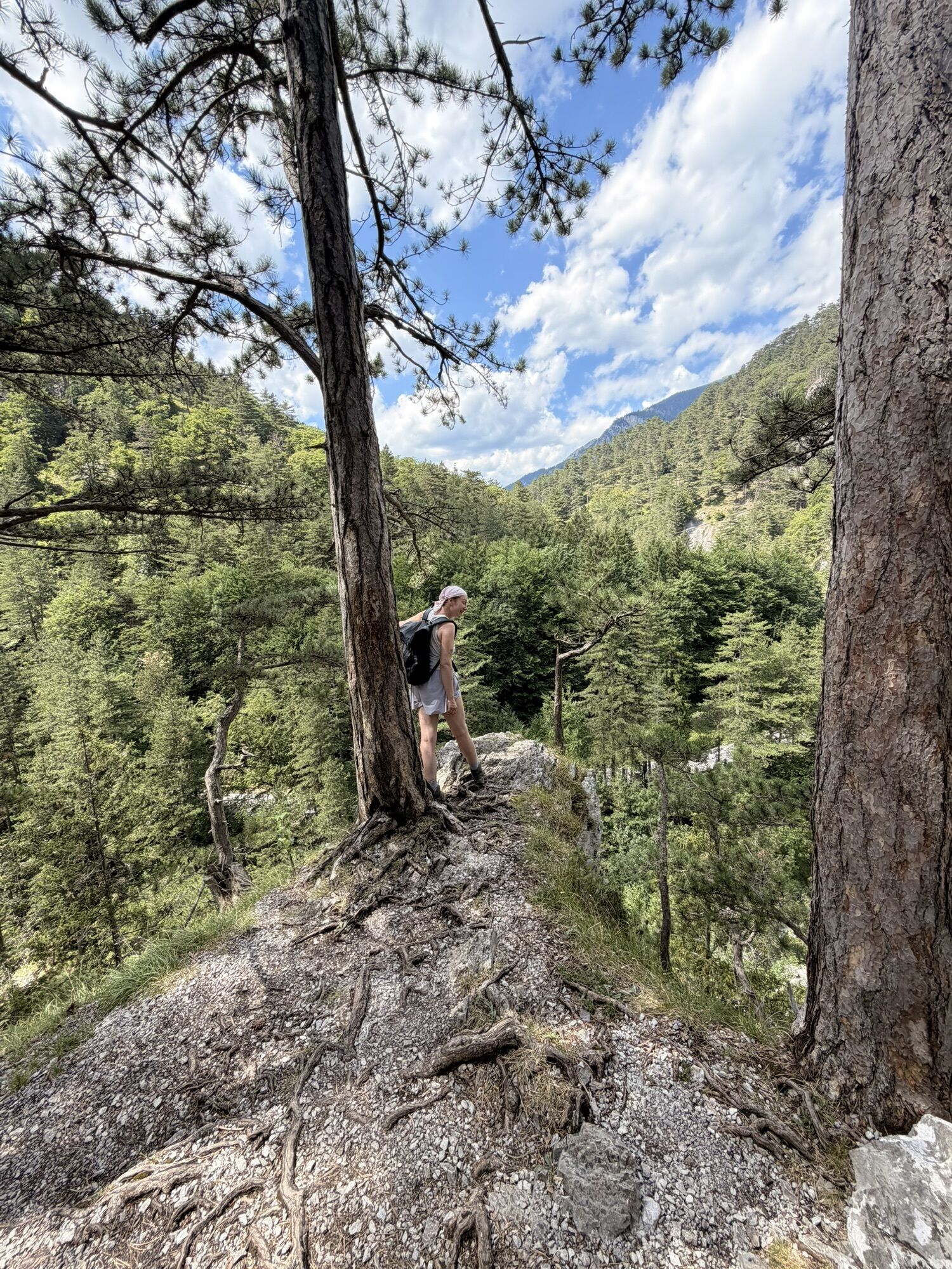
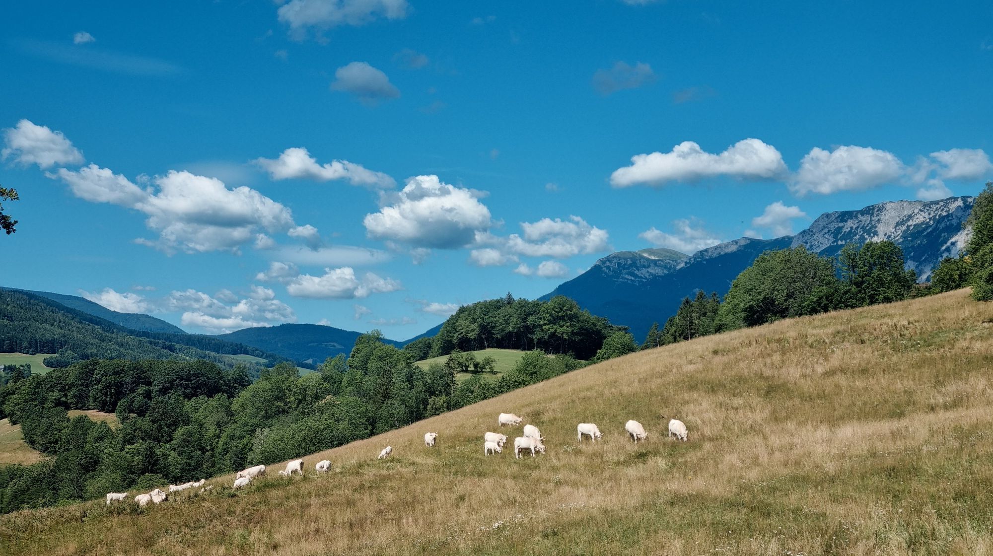
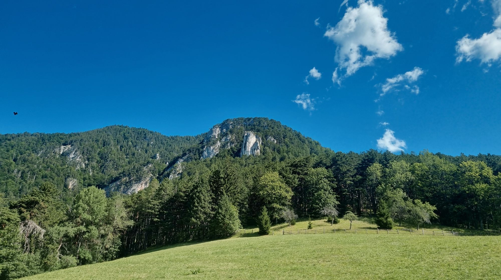
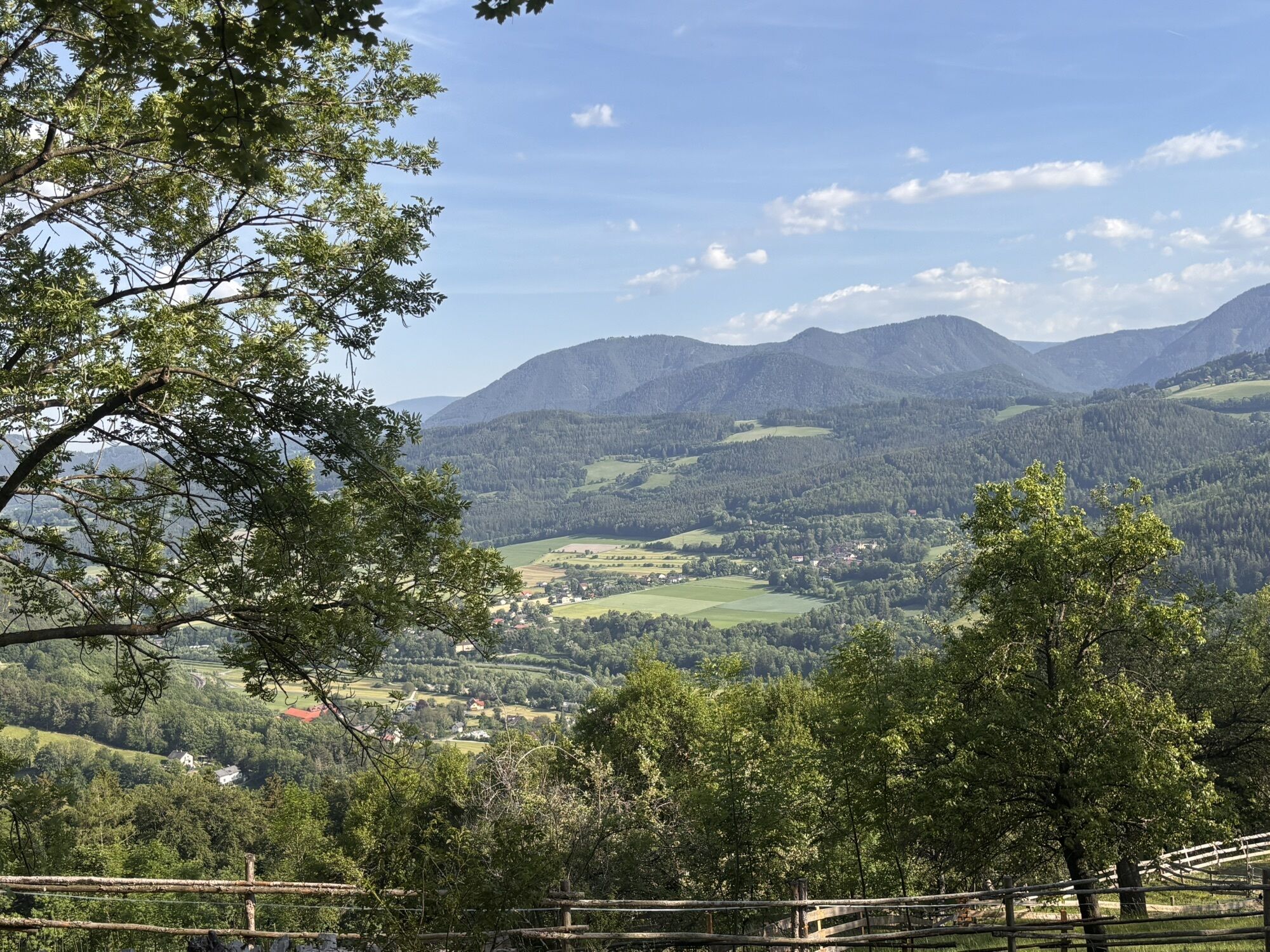
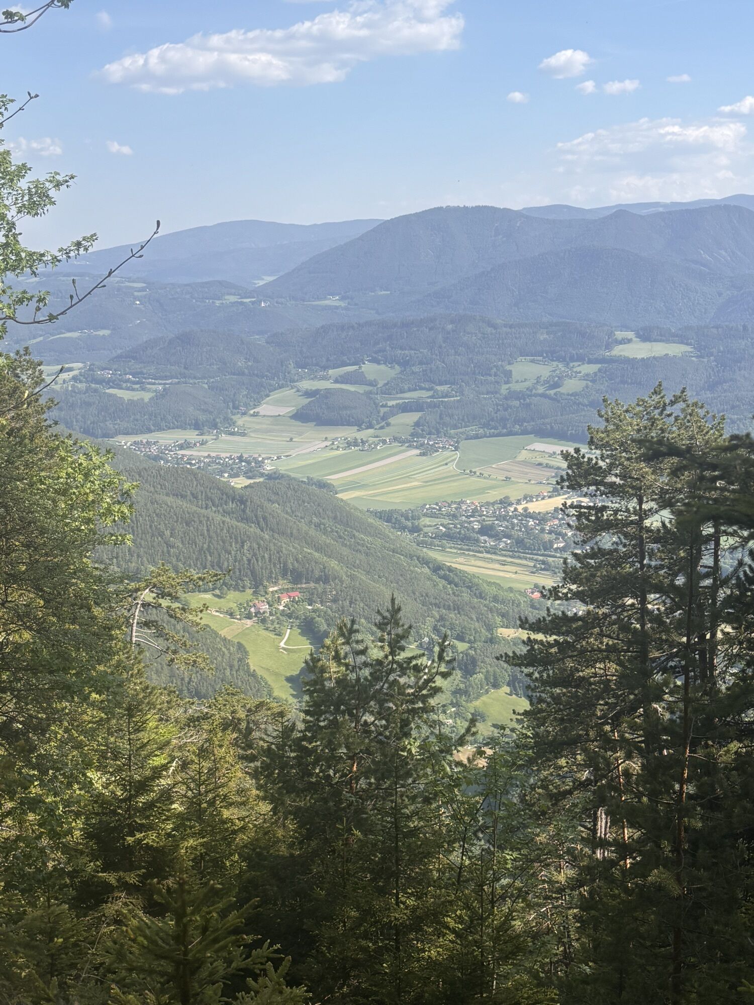
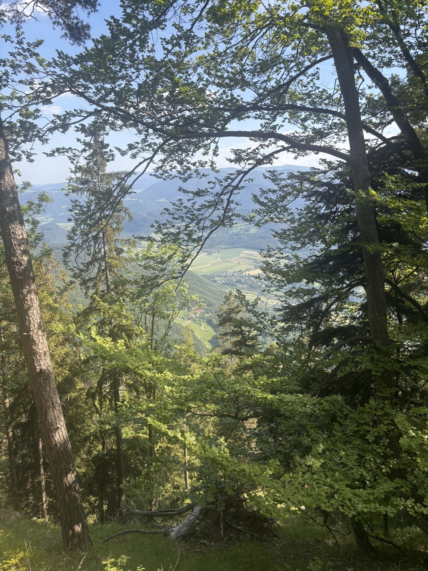
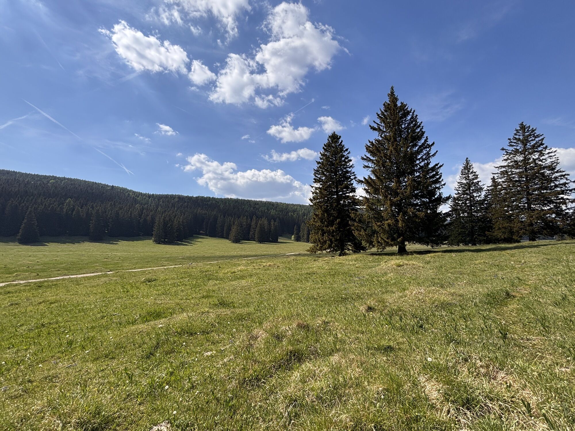
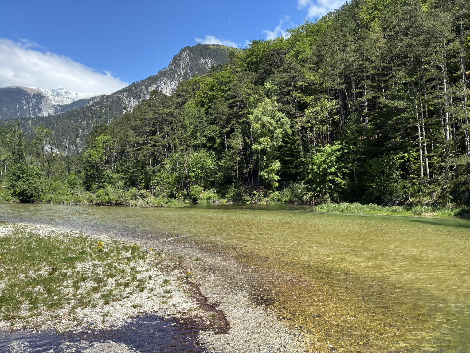
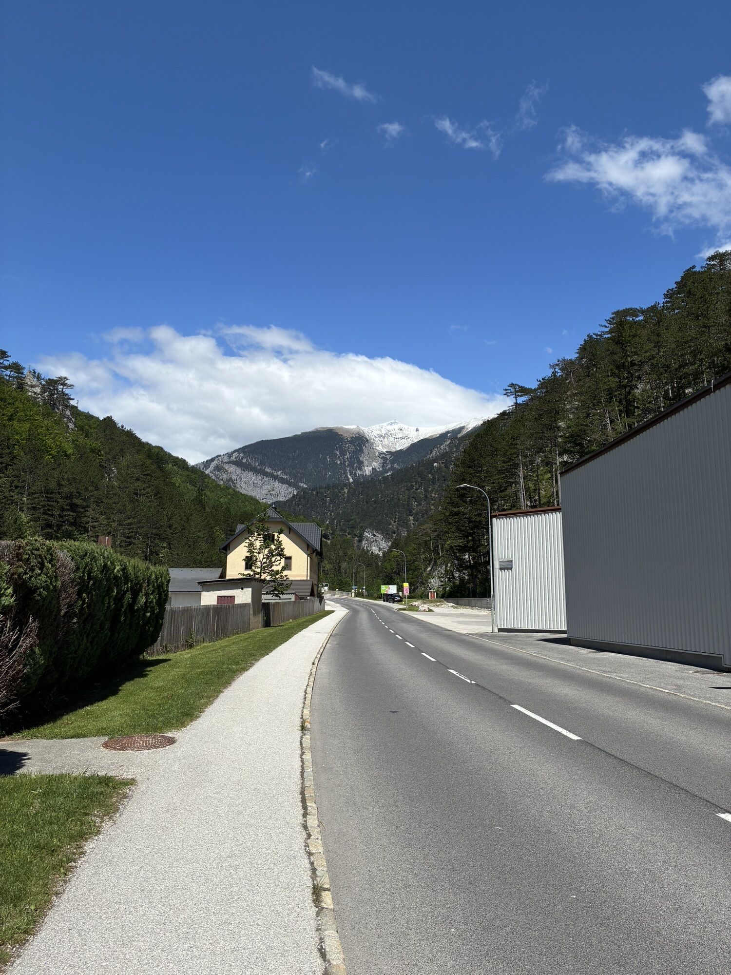
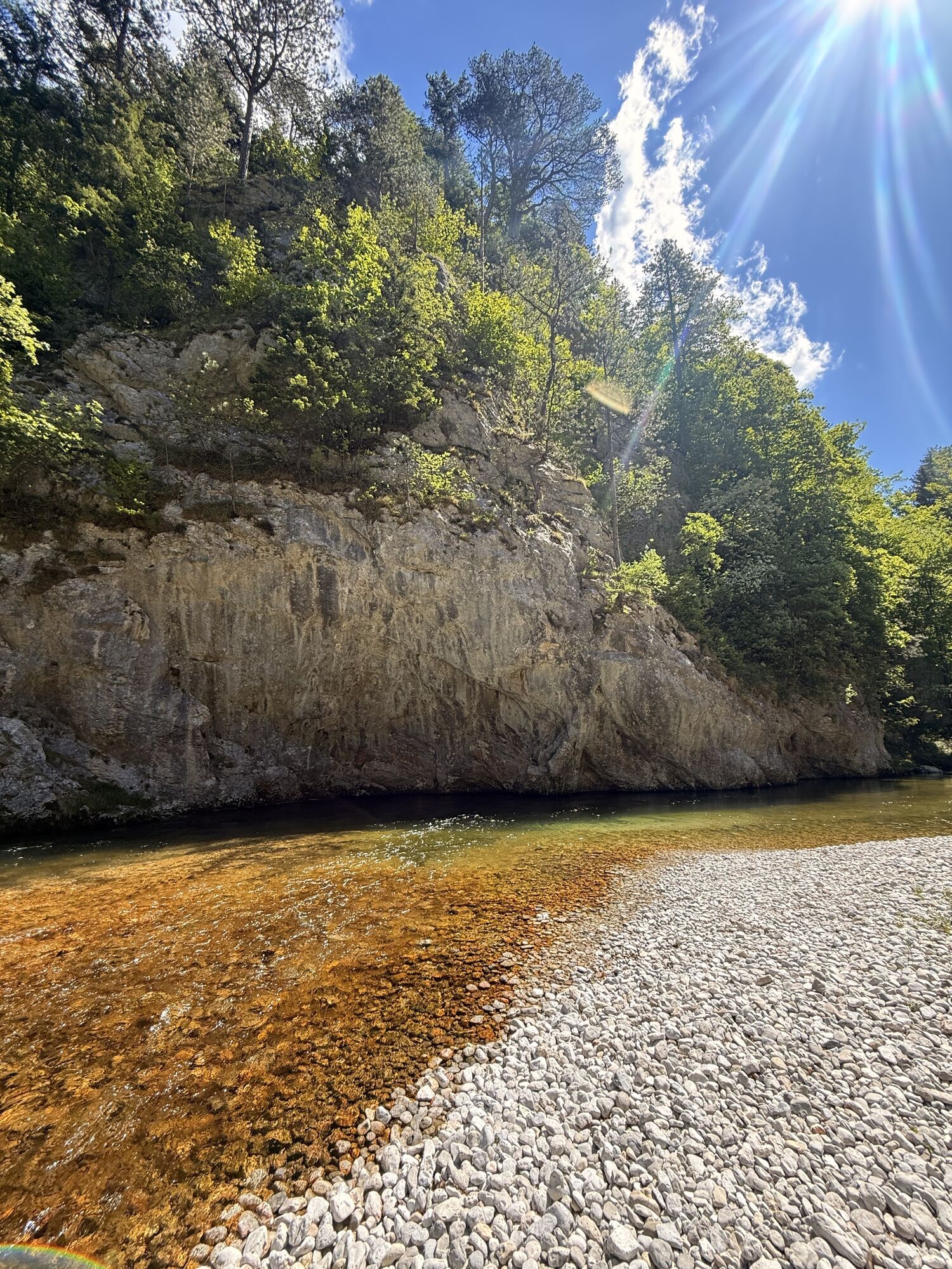
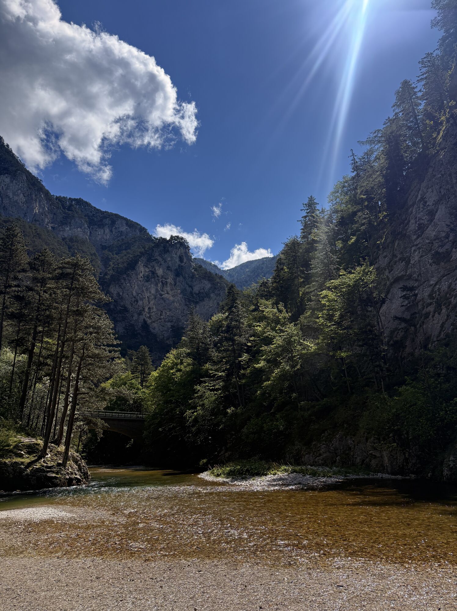
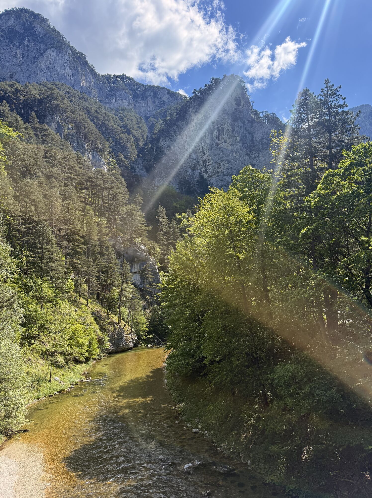
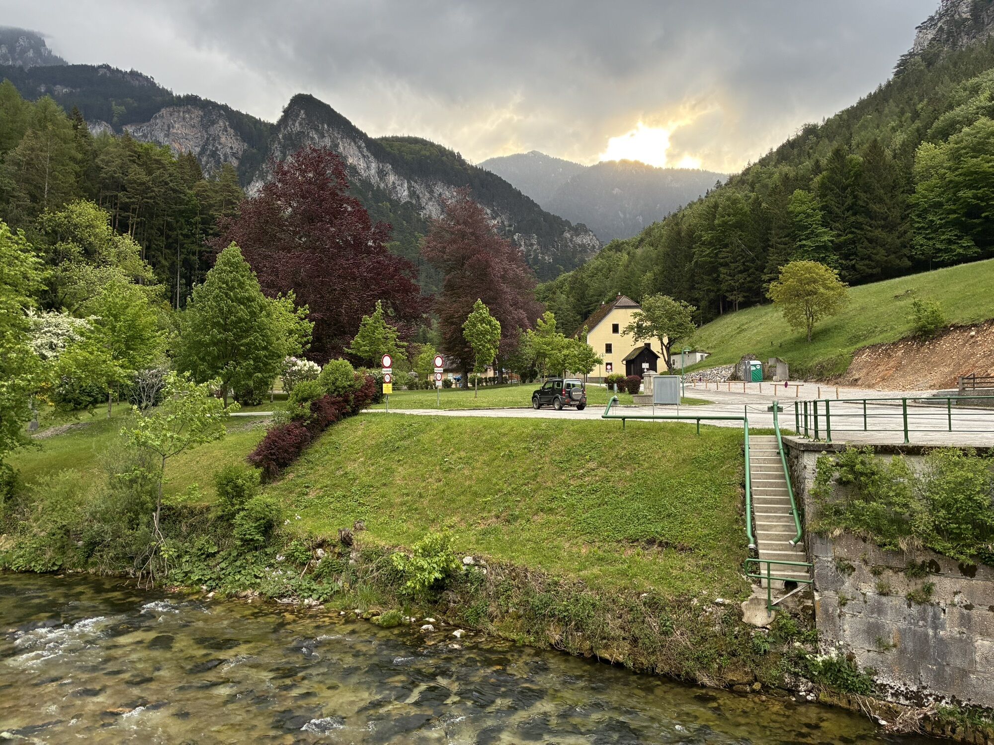
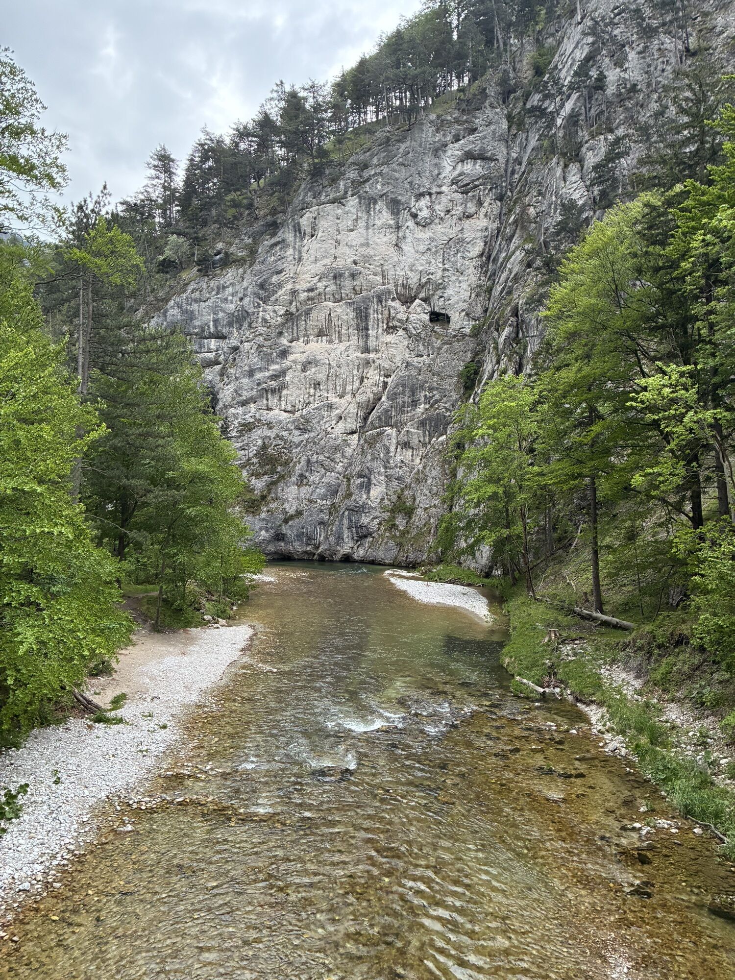
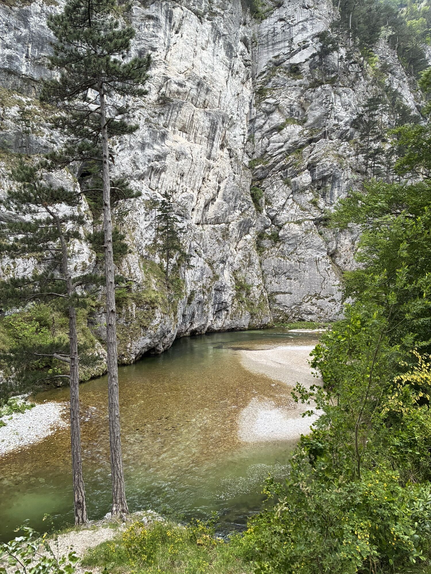
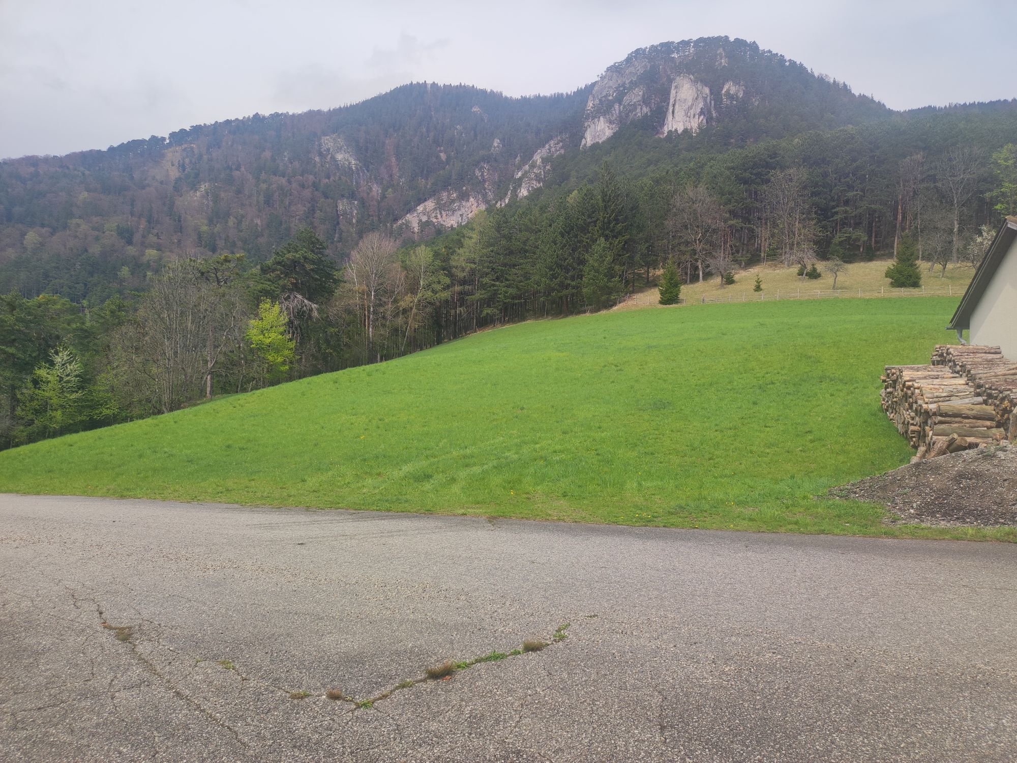
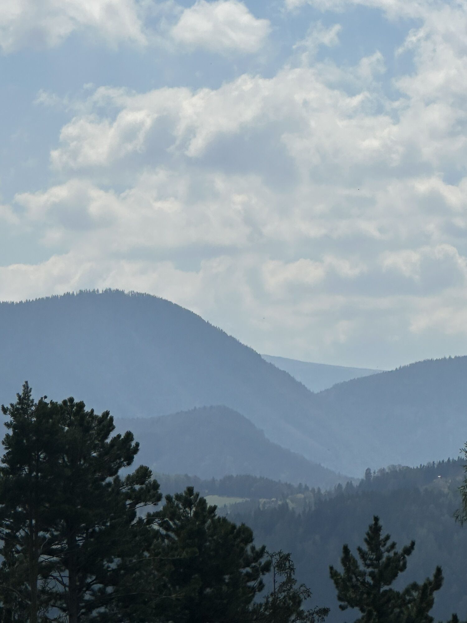
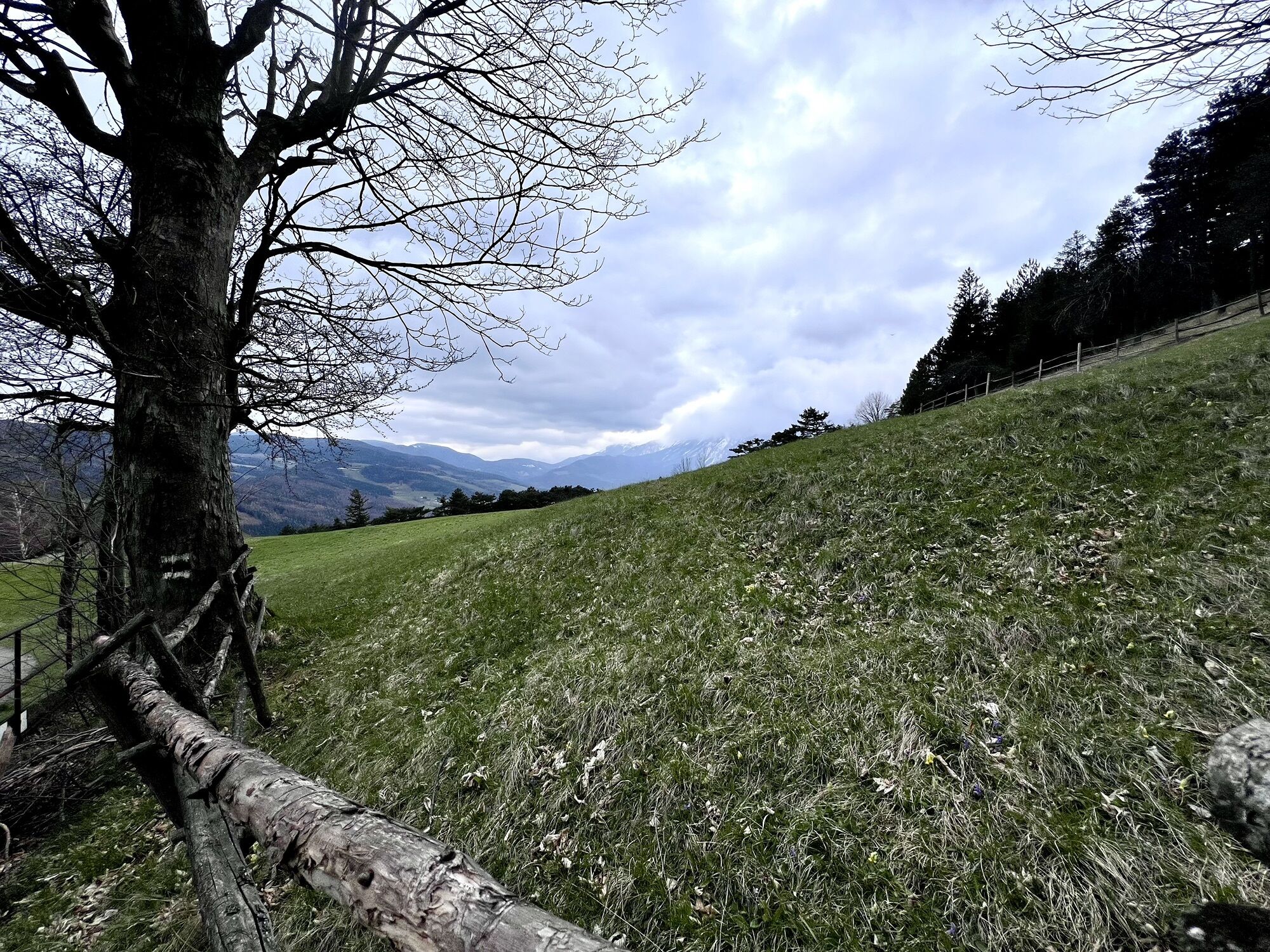
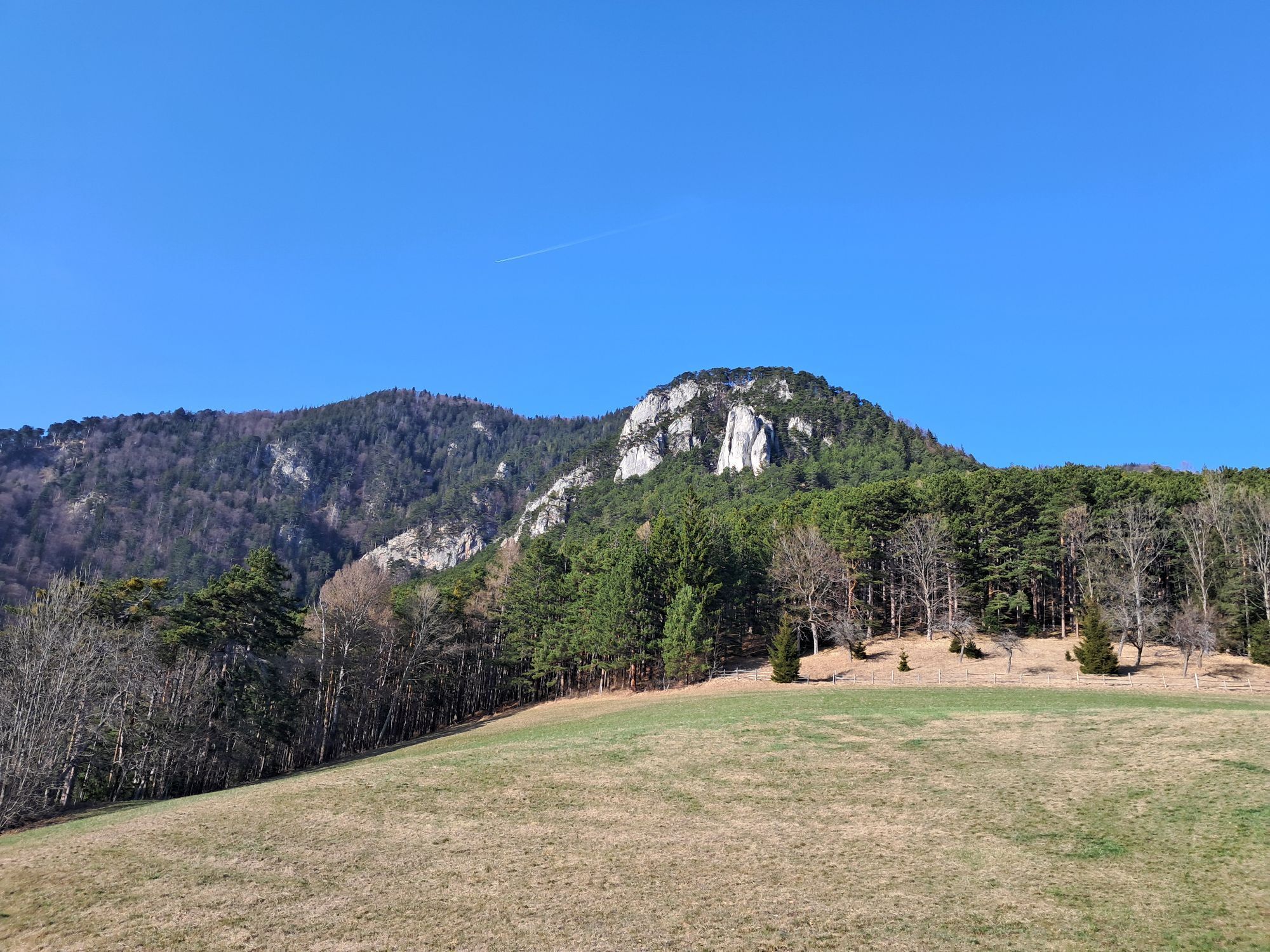
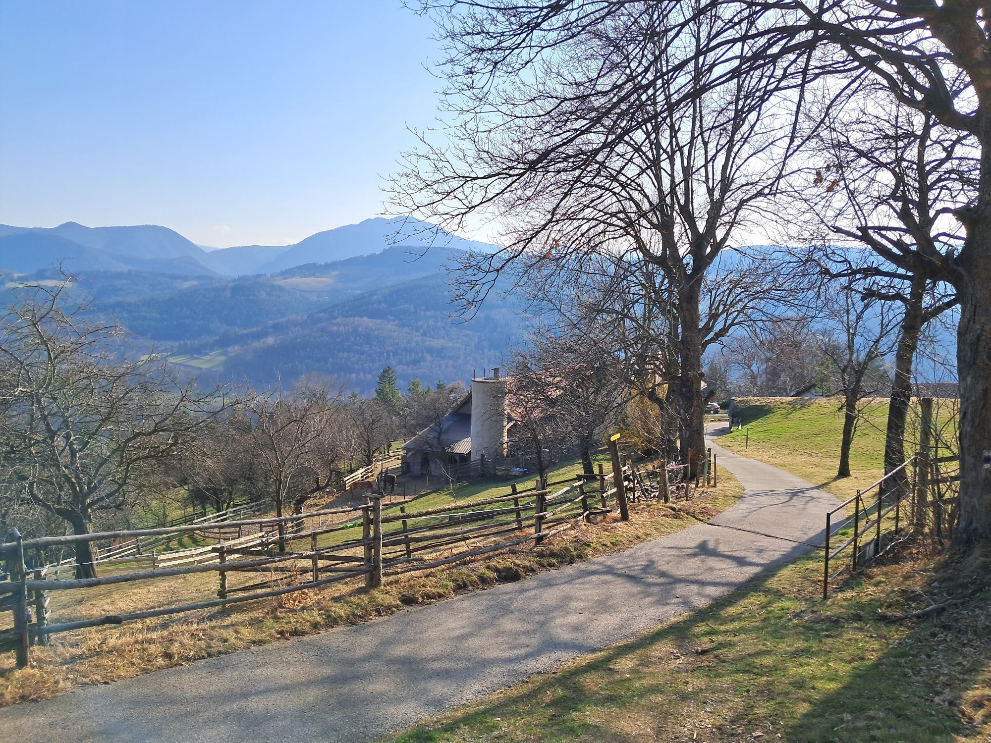
This two-day route in the southern Schneeberg area between Kaiserbrunn and Bodenwiese offers colorful landscape contrasts. Along the Vienna Alpine Arc and the water pipeline path, we hike through the rushing...
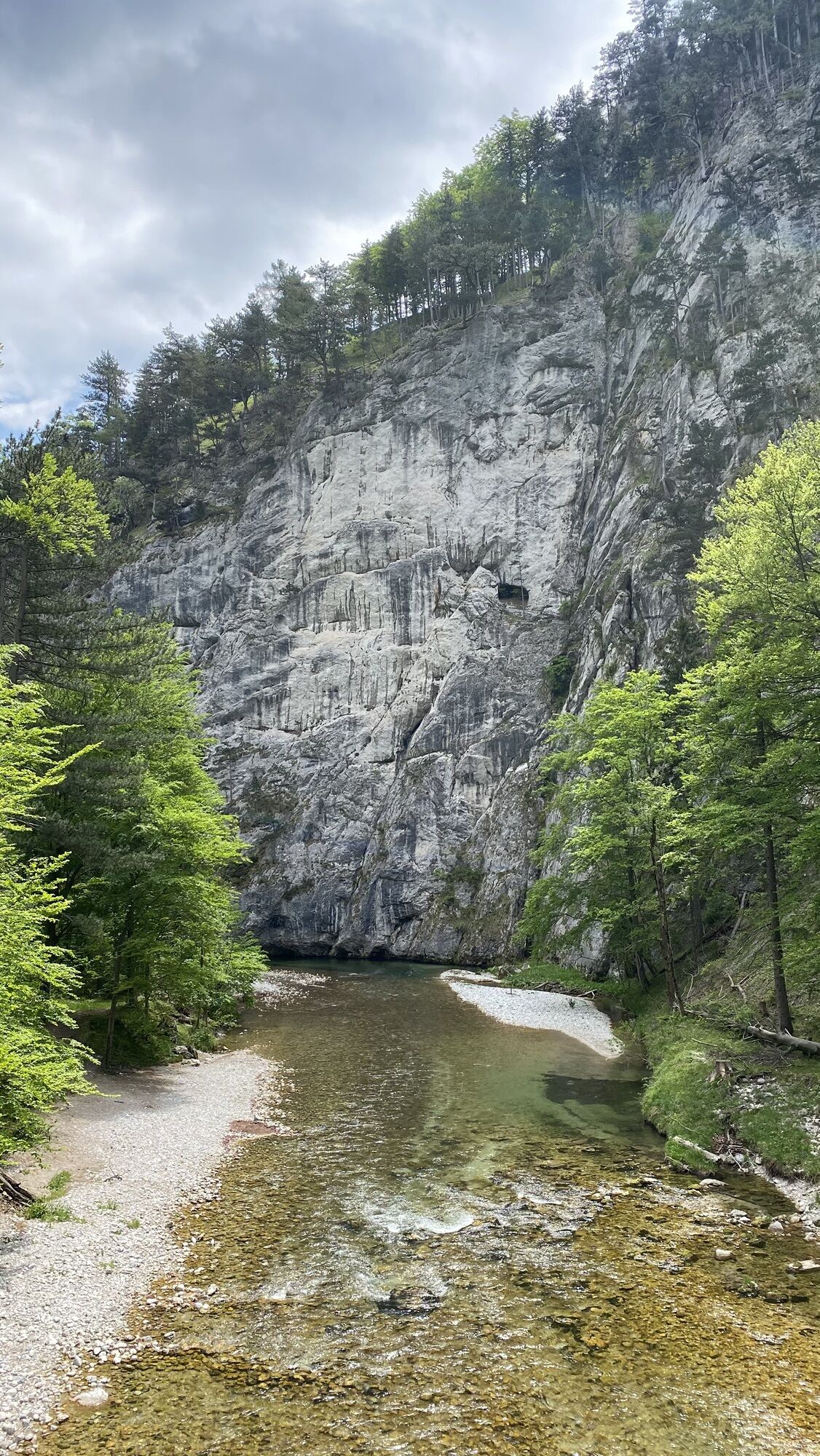
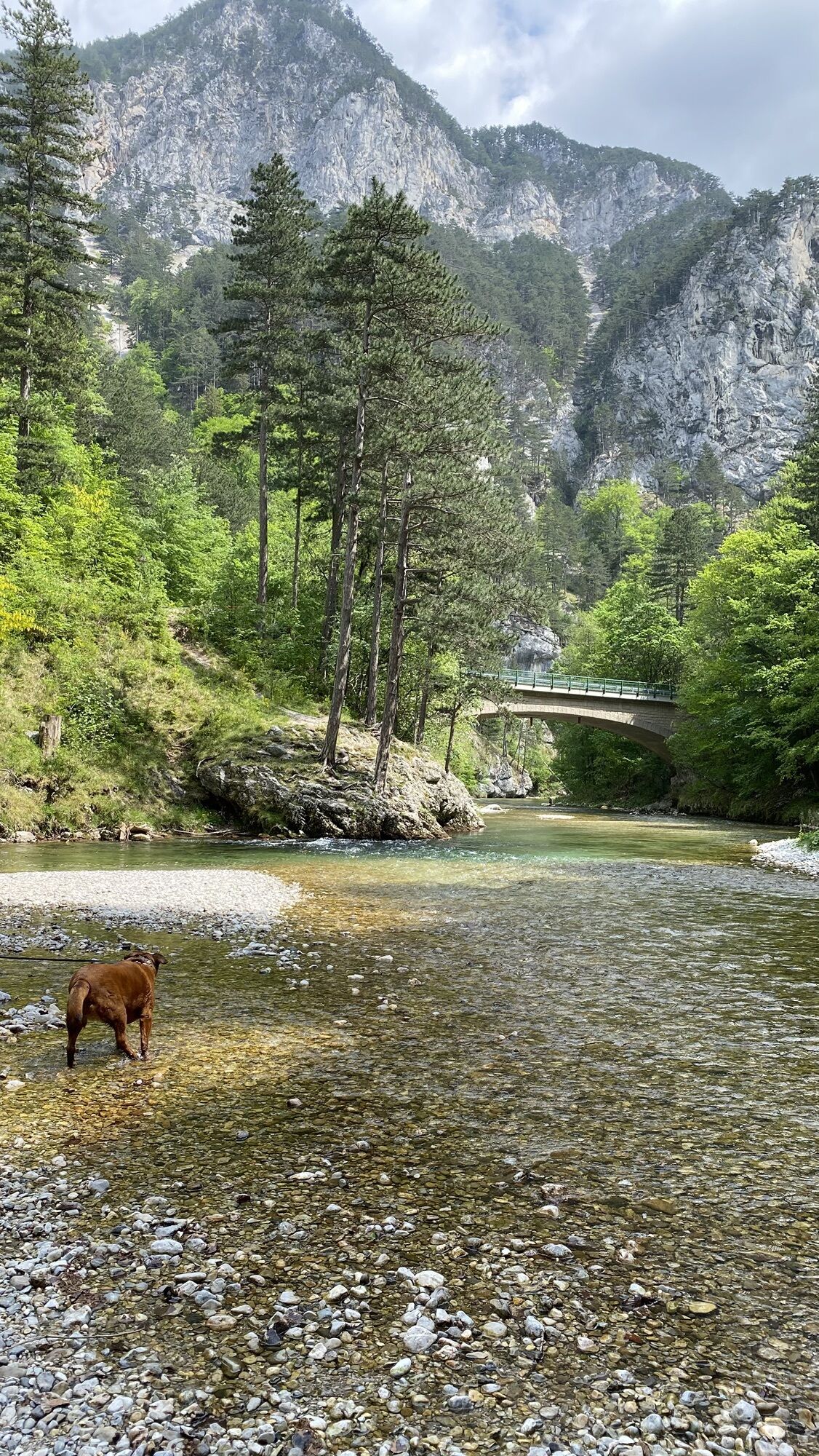
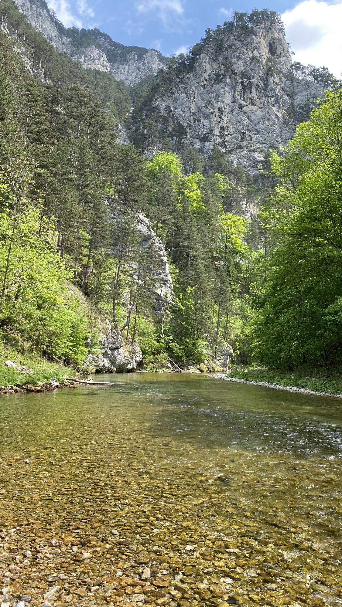
<p>This two-day route in the southern Schneeberg area between Kaiserbrunn and Bodenwiese offers colorful landscape contrasts. Along the Vienna Alpine Arc and the water pipeline path, we hike through the rushing Höllental to Kaiserbrunn before the steep and scenic ascent on the Miesleitensteig leads to Naturfreundehaus Knofeleben. After a restful night and a strengthening breakfast, Regional Route J leads on comfortable forest and alpine paths to the Waldburgangerhütte, from where the descent to Payerbach begins. The detour to the impressive Jubilee viewpoint is absolutely worthwhile.</p>

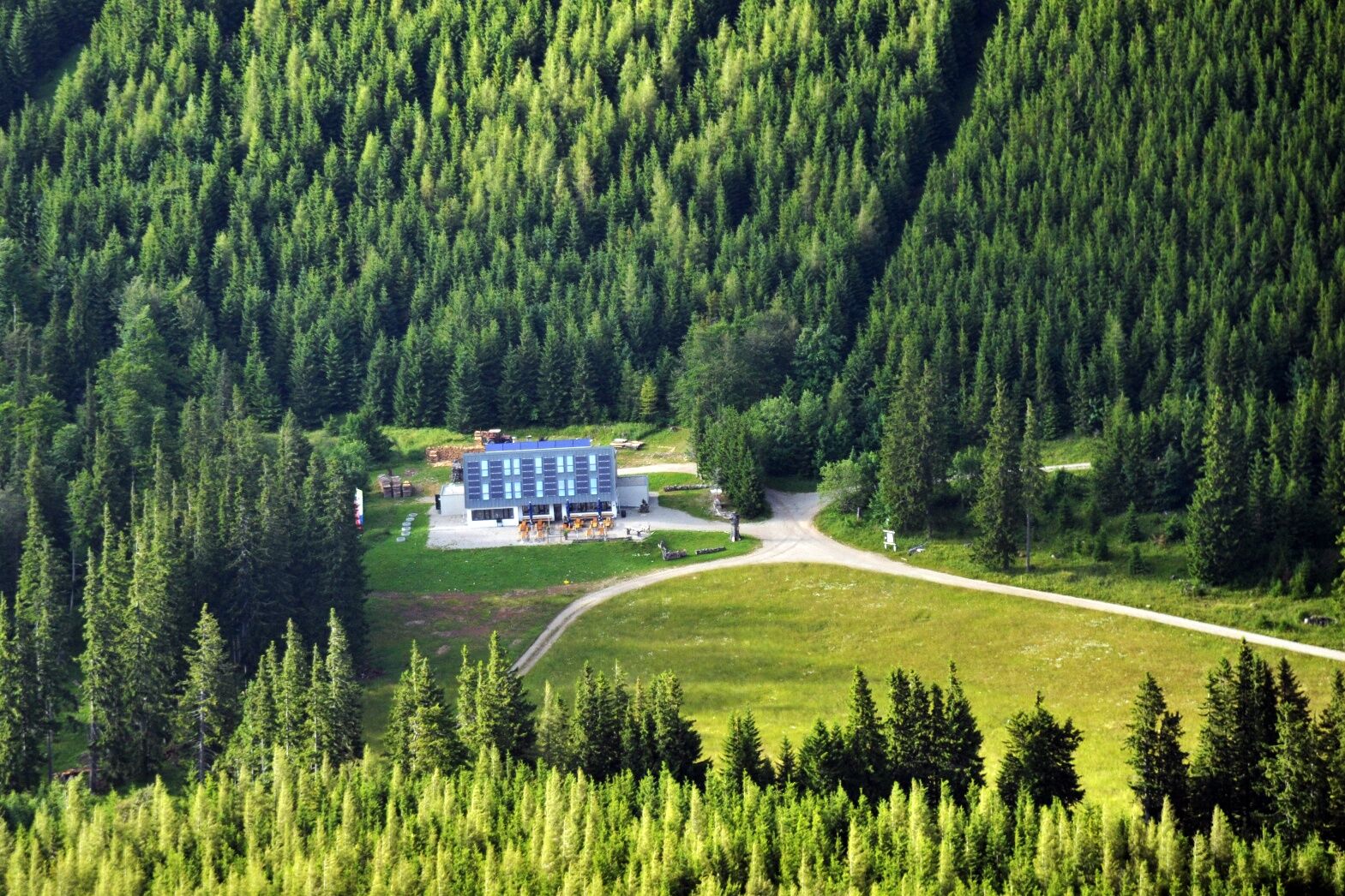
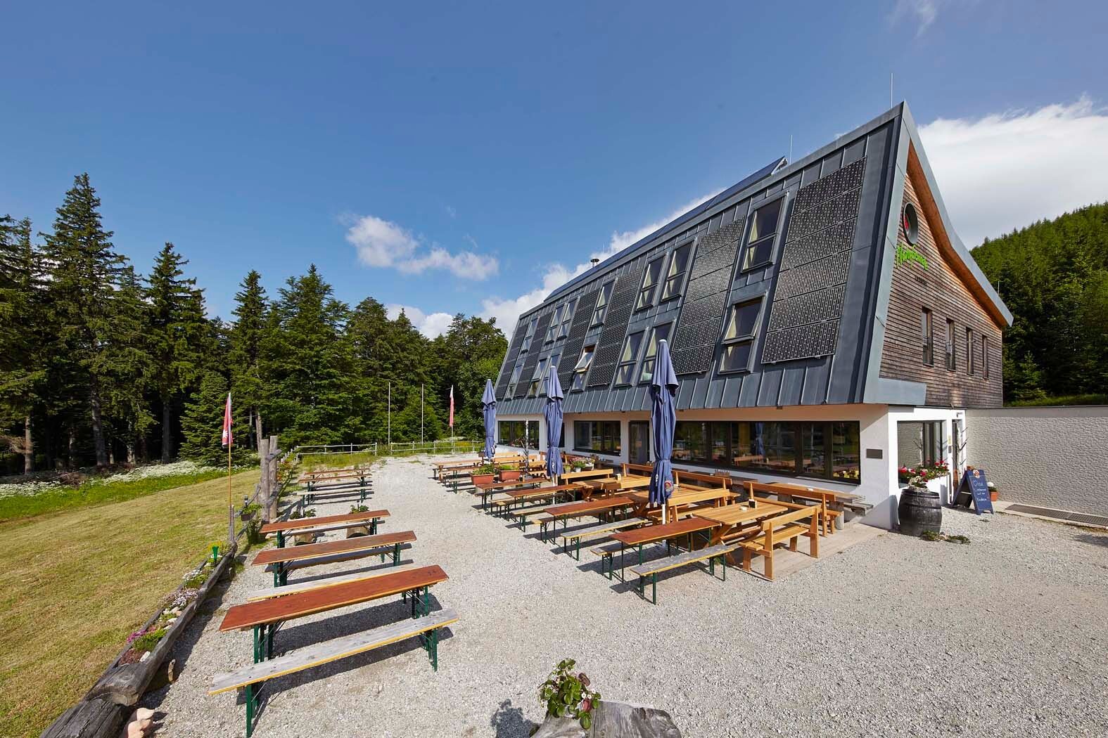
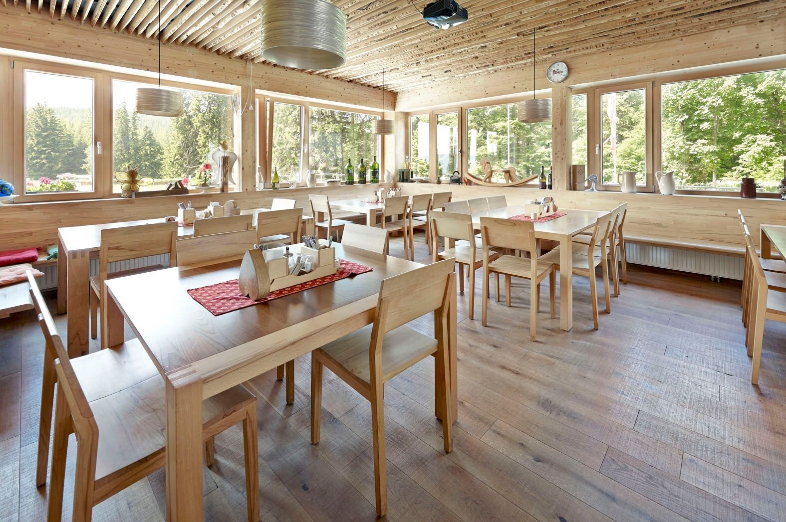
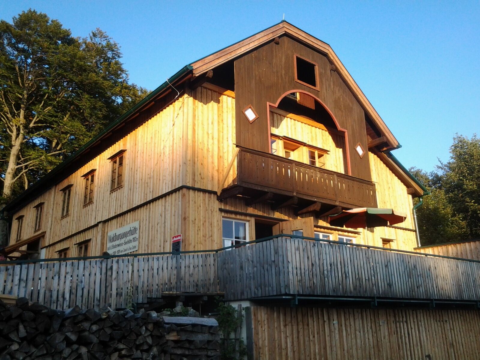
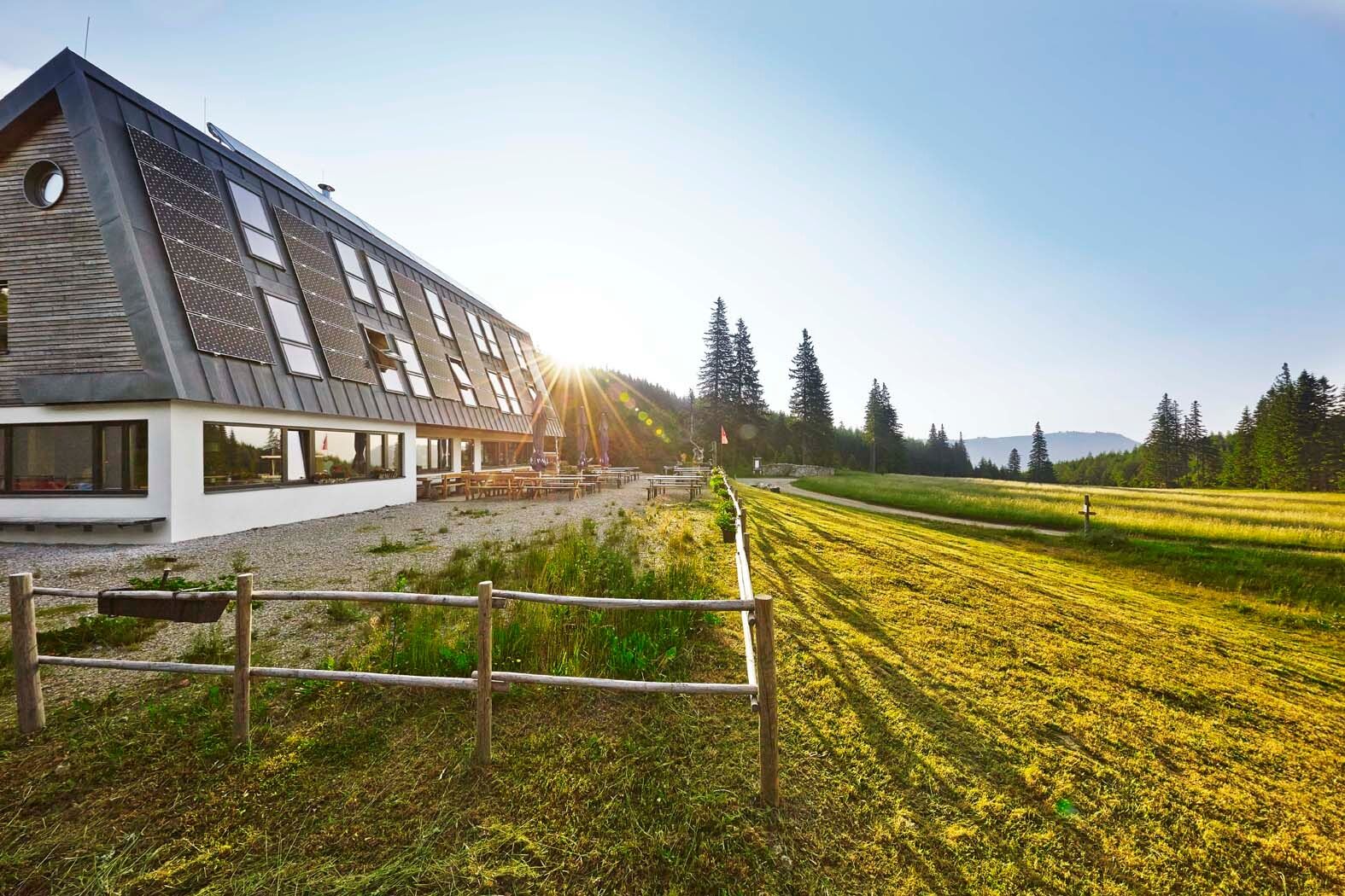
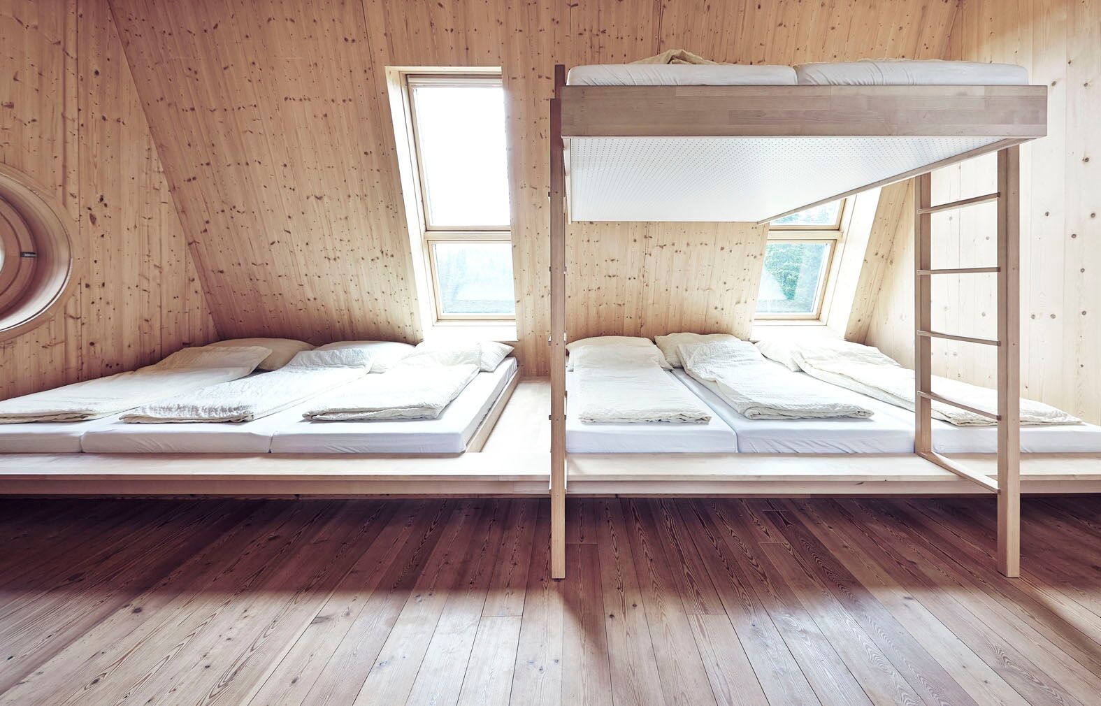
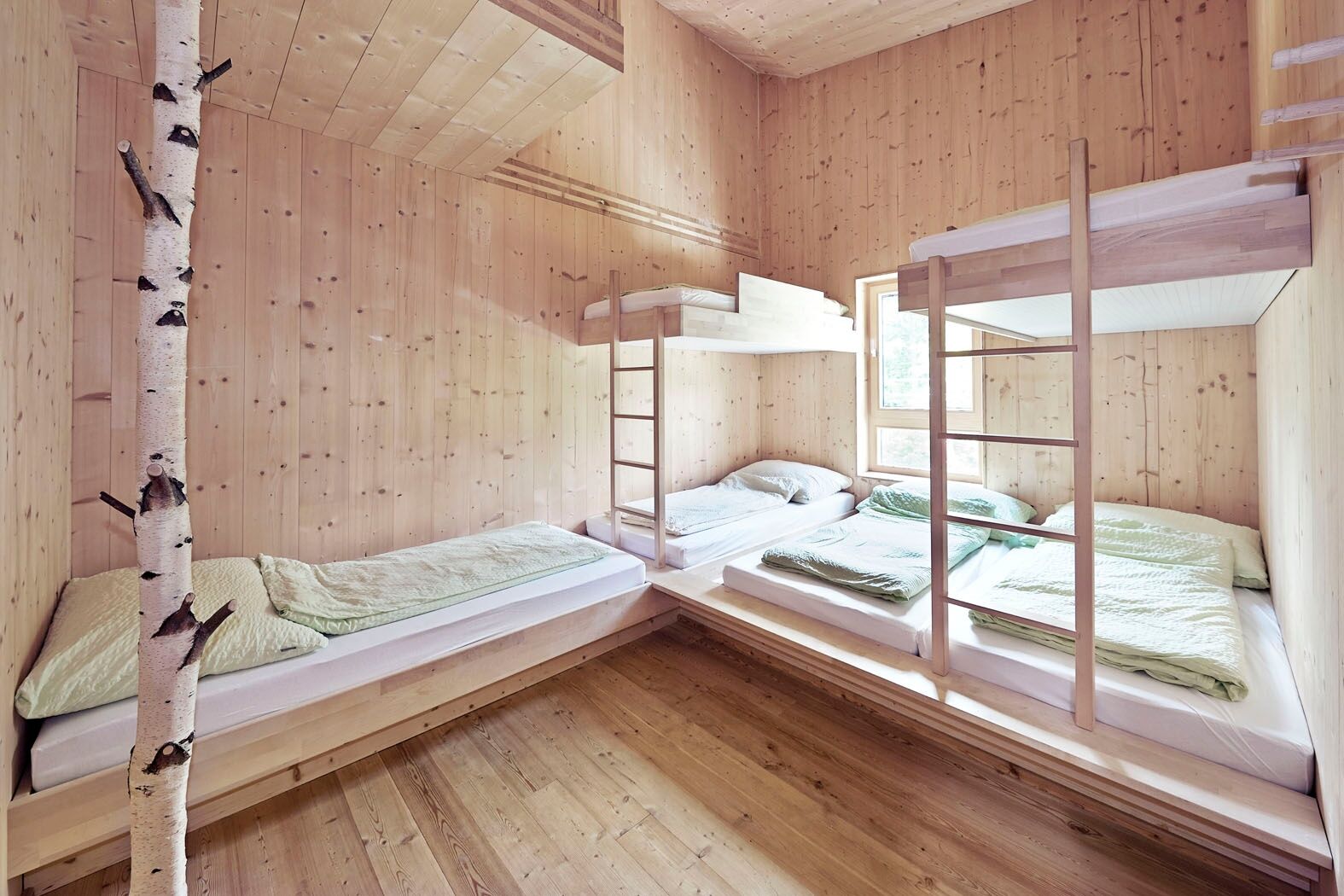

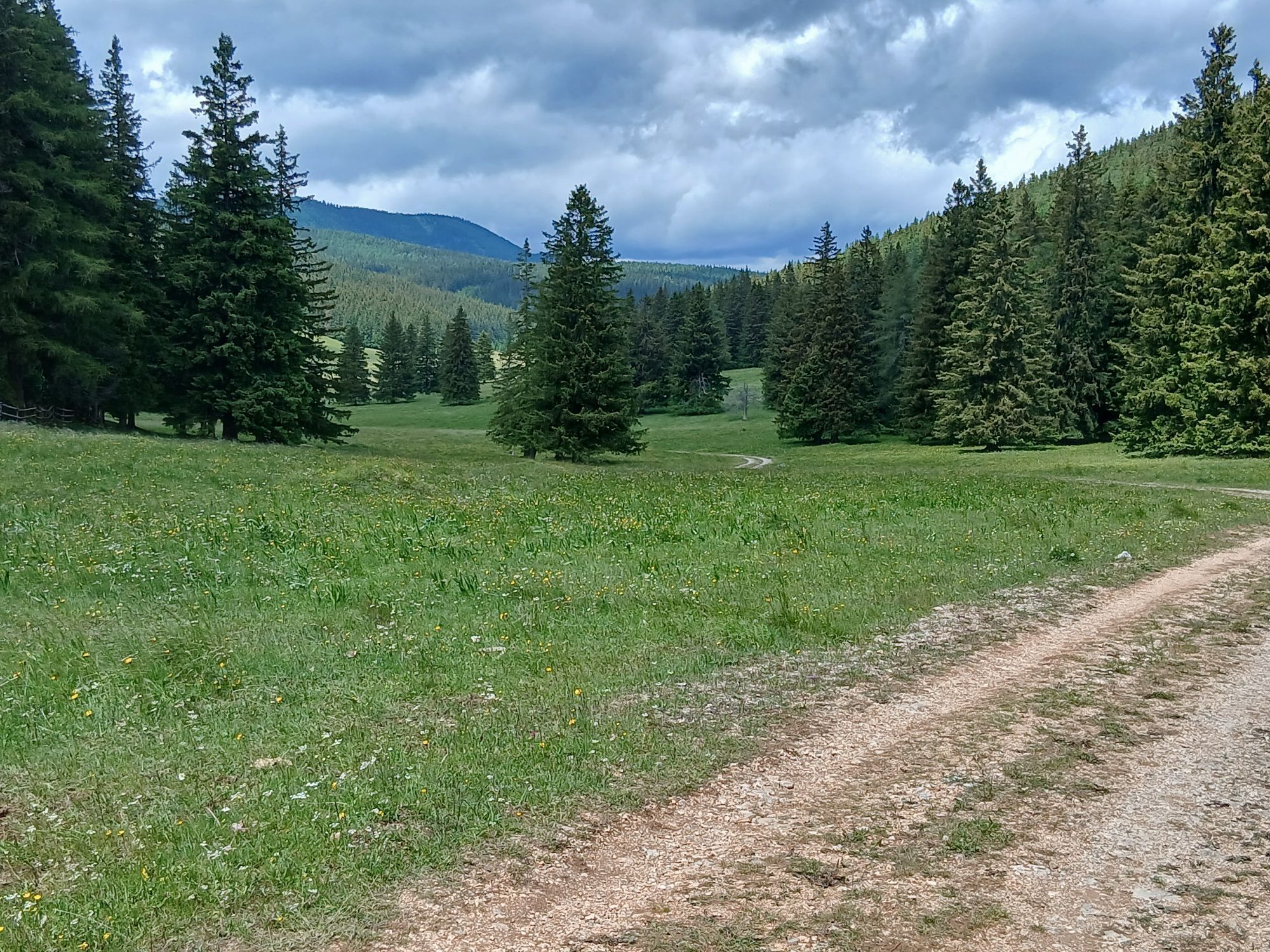
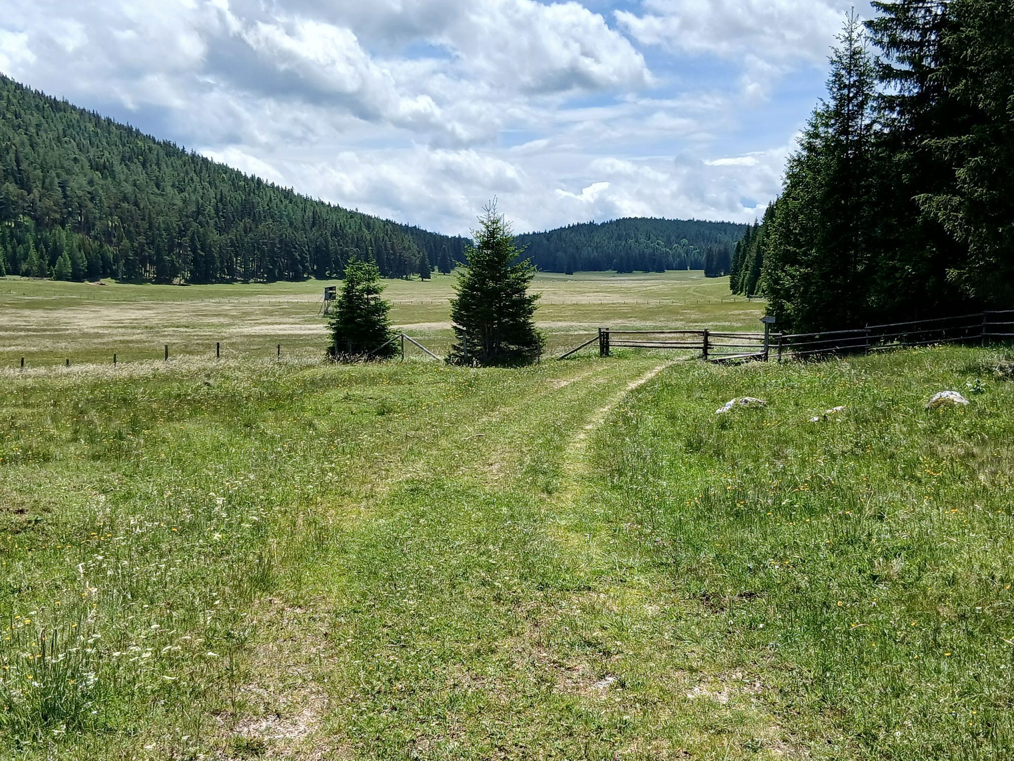
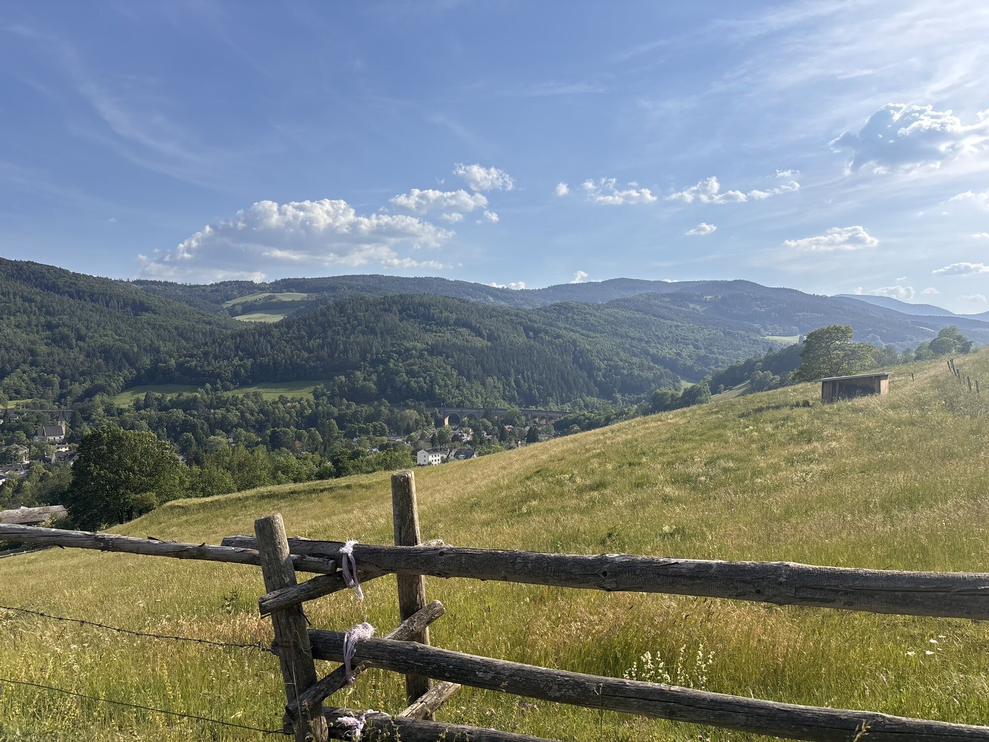
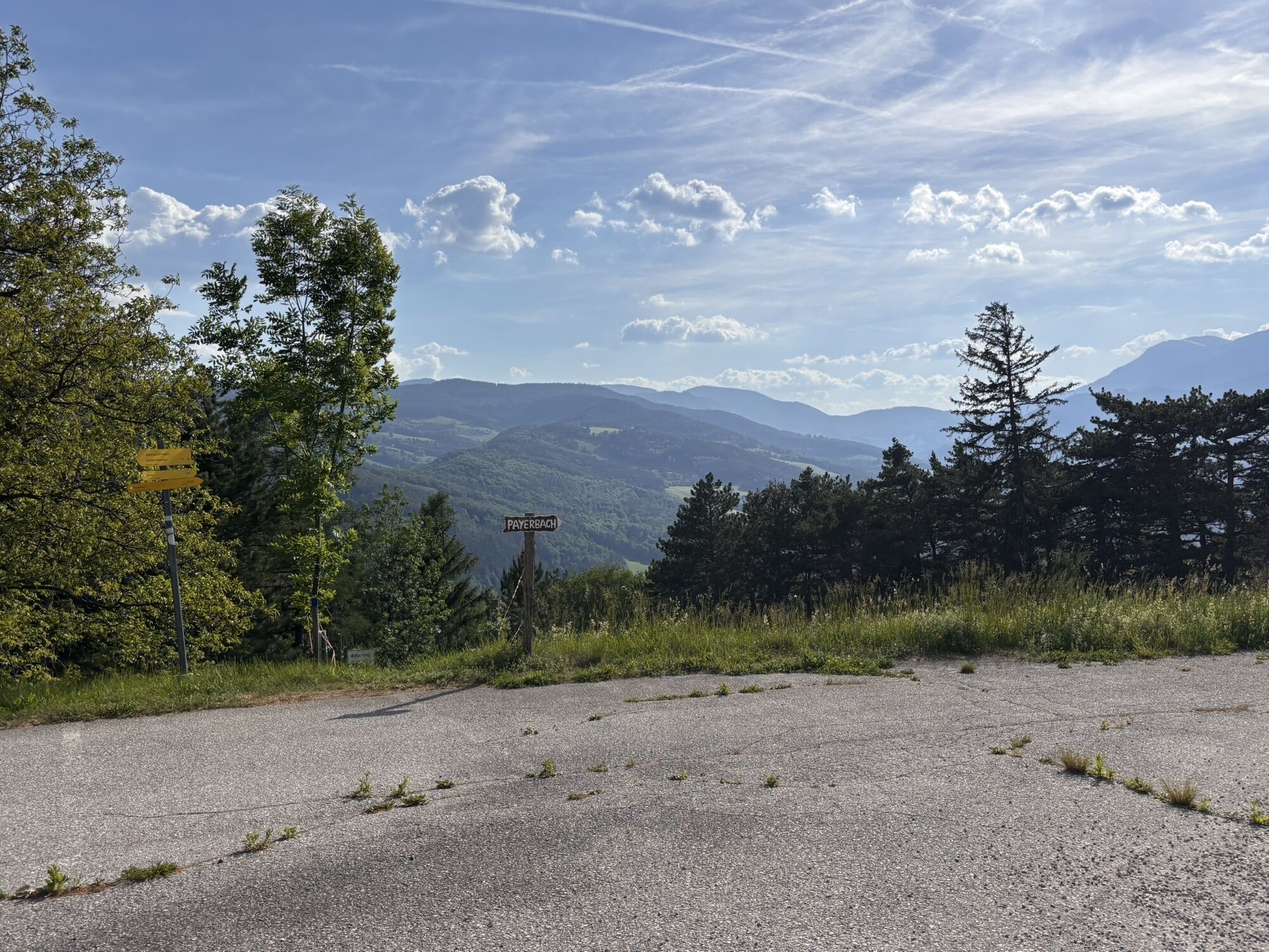
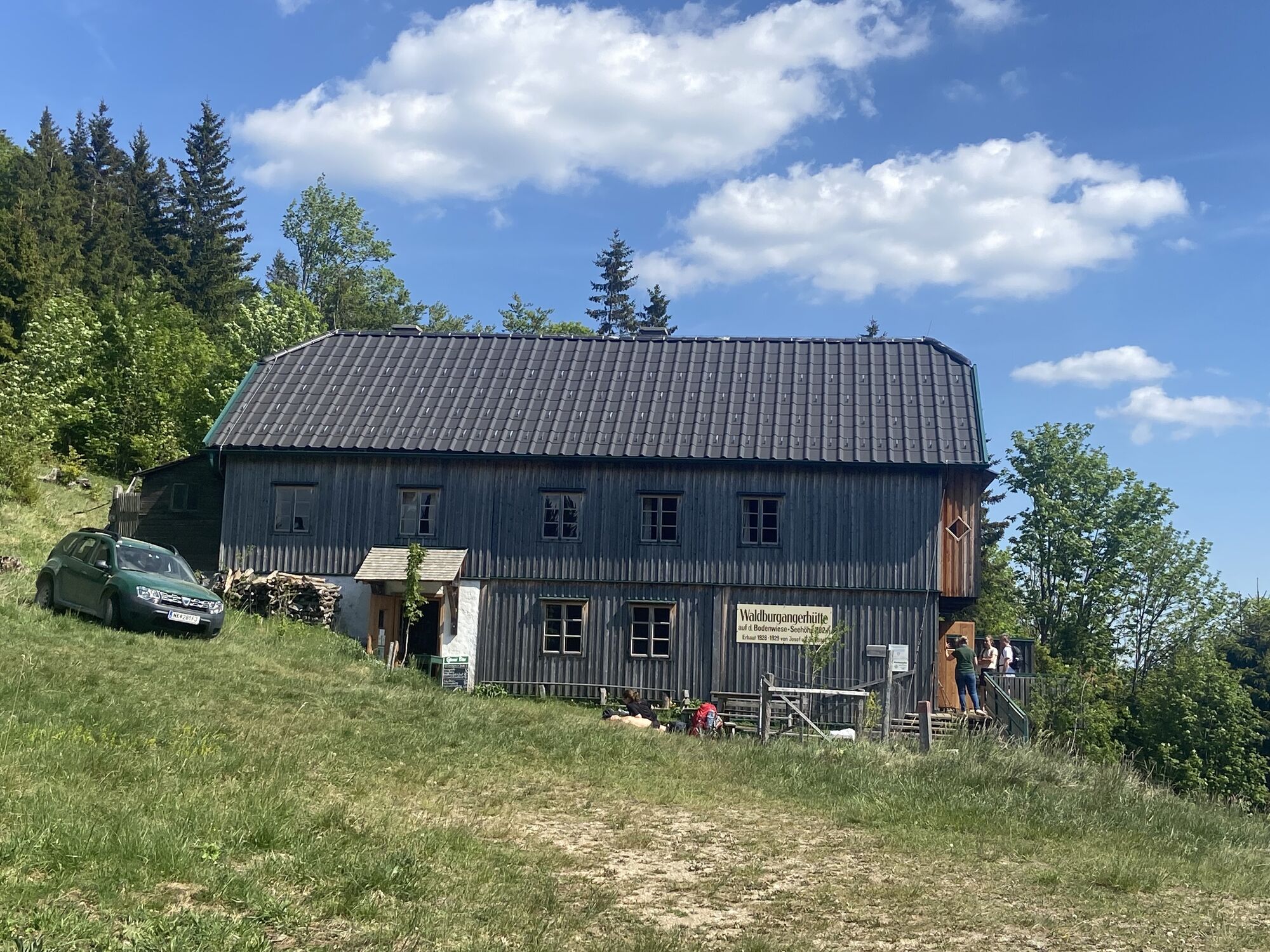
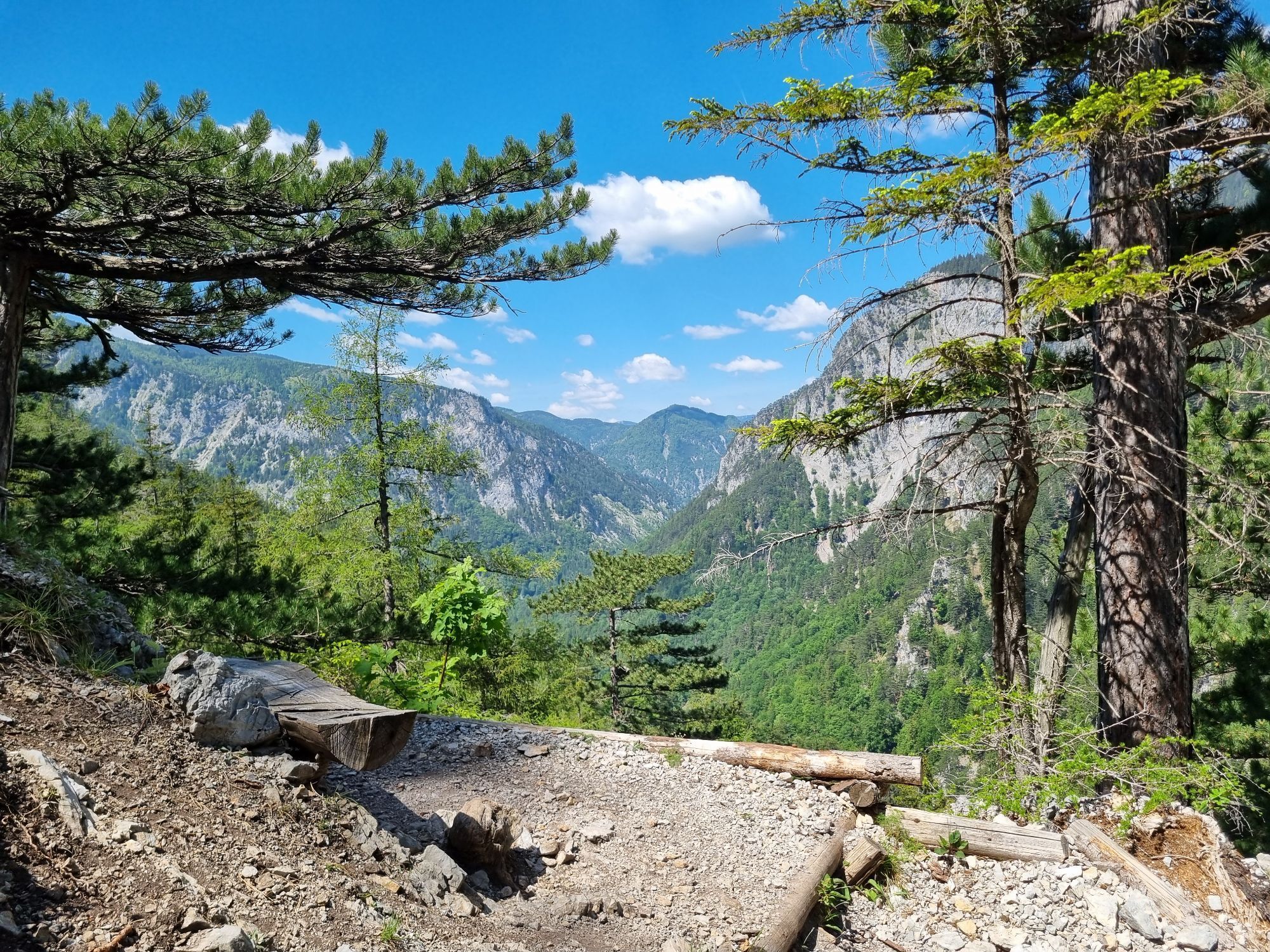
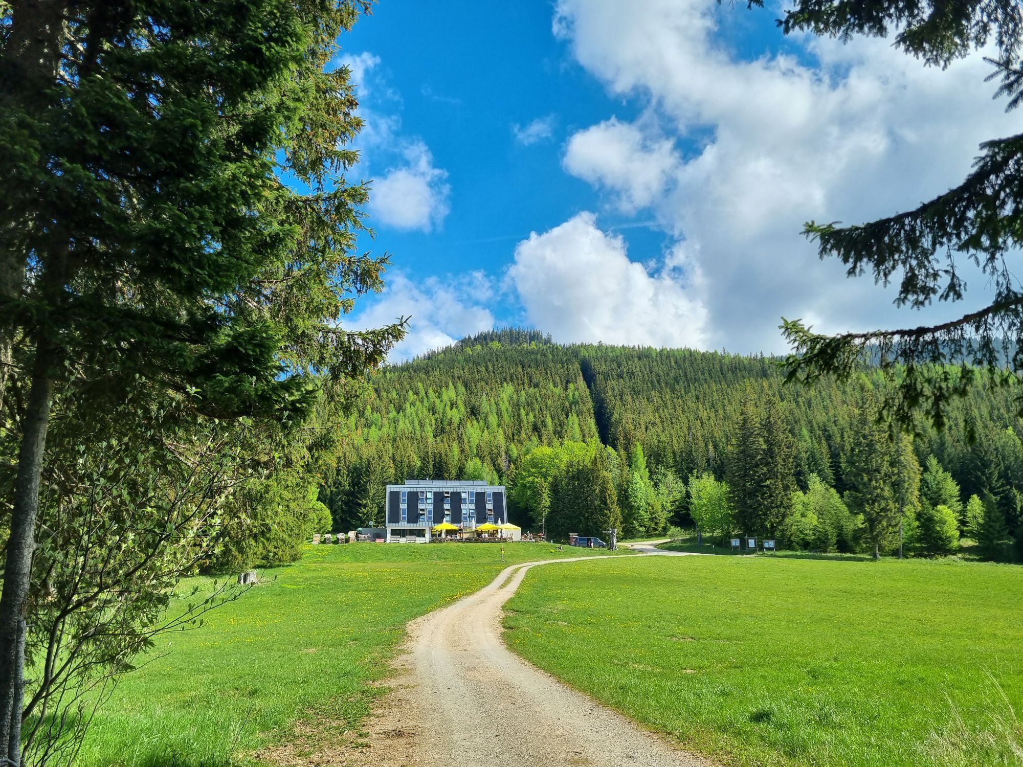
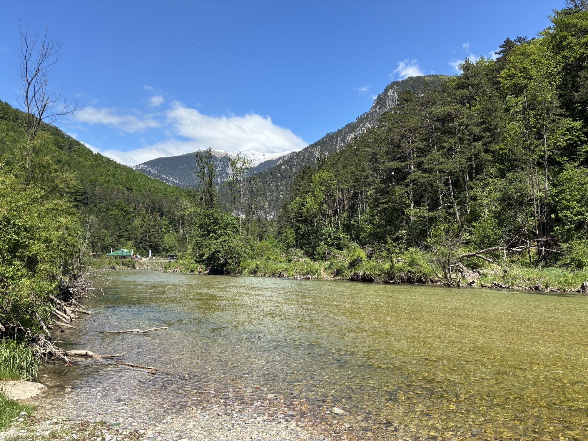
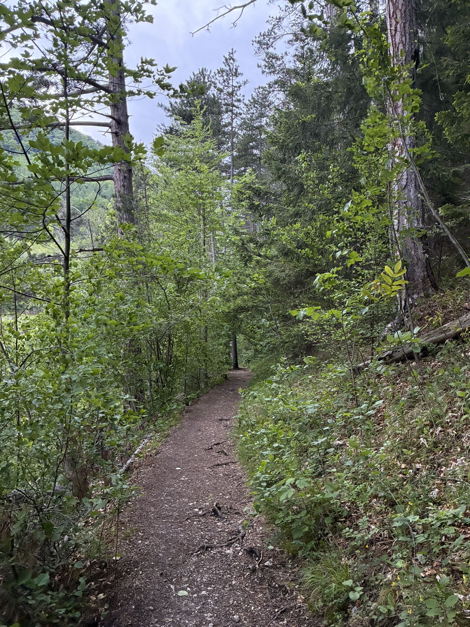
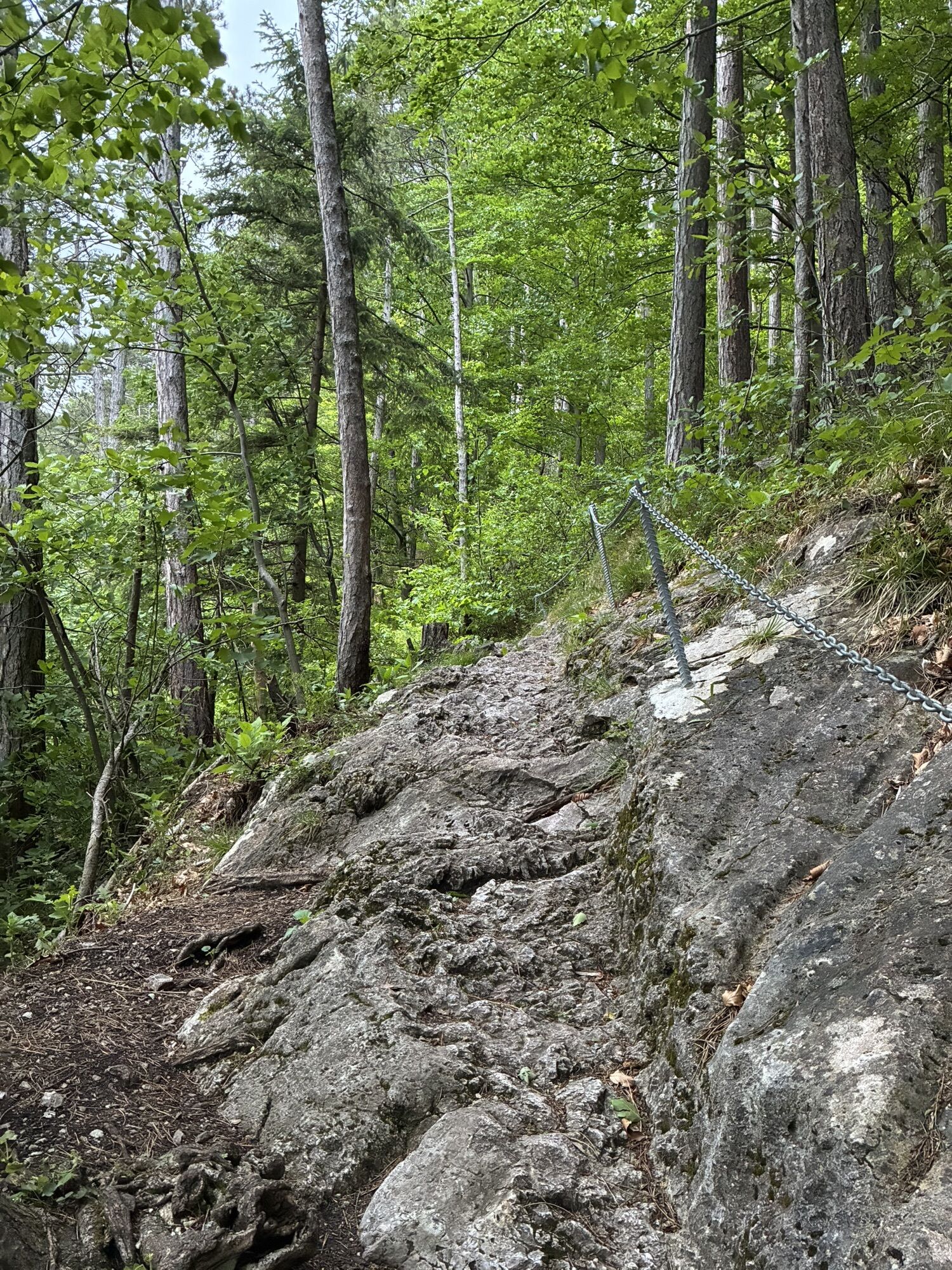
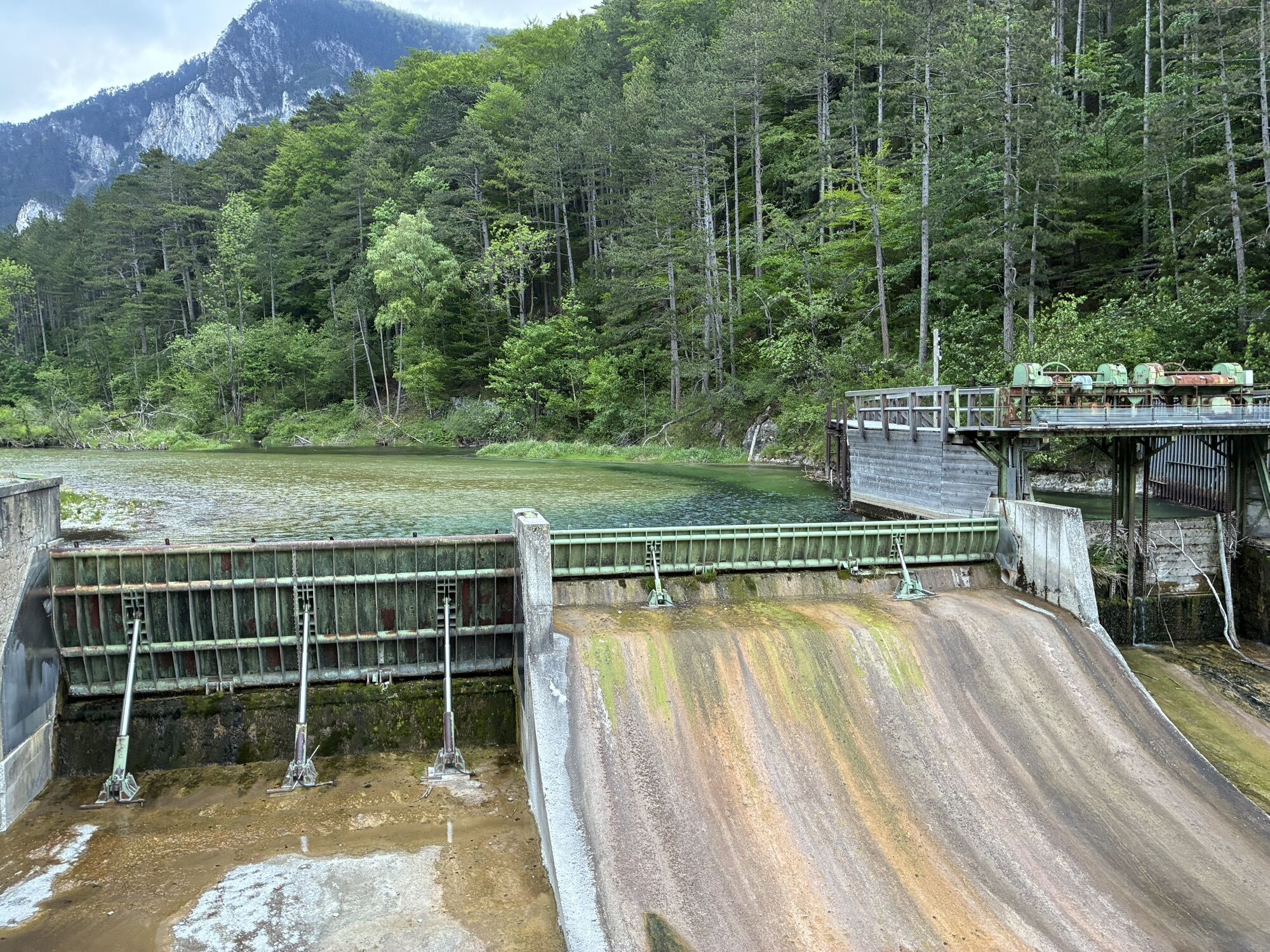
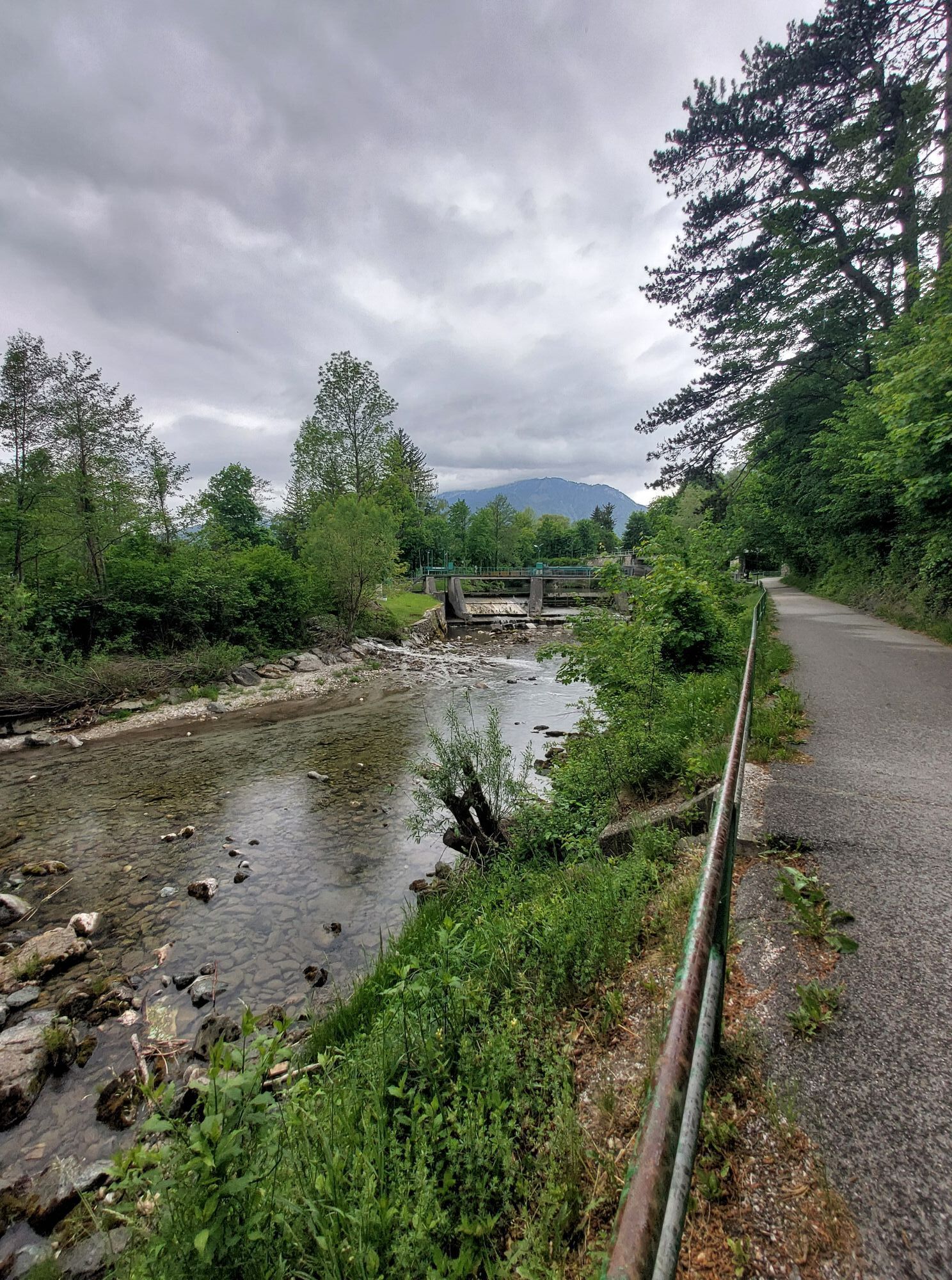
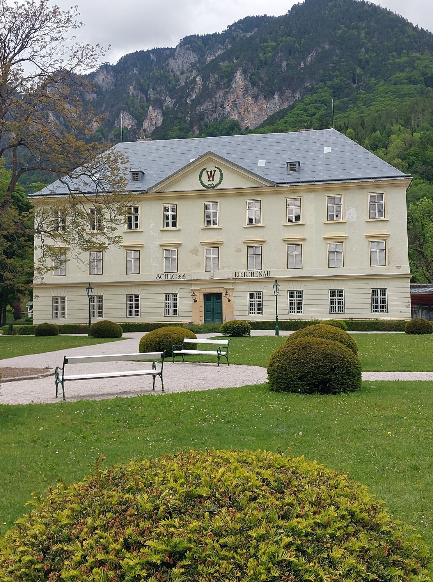
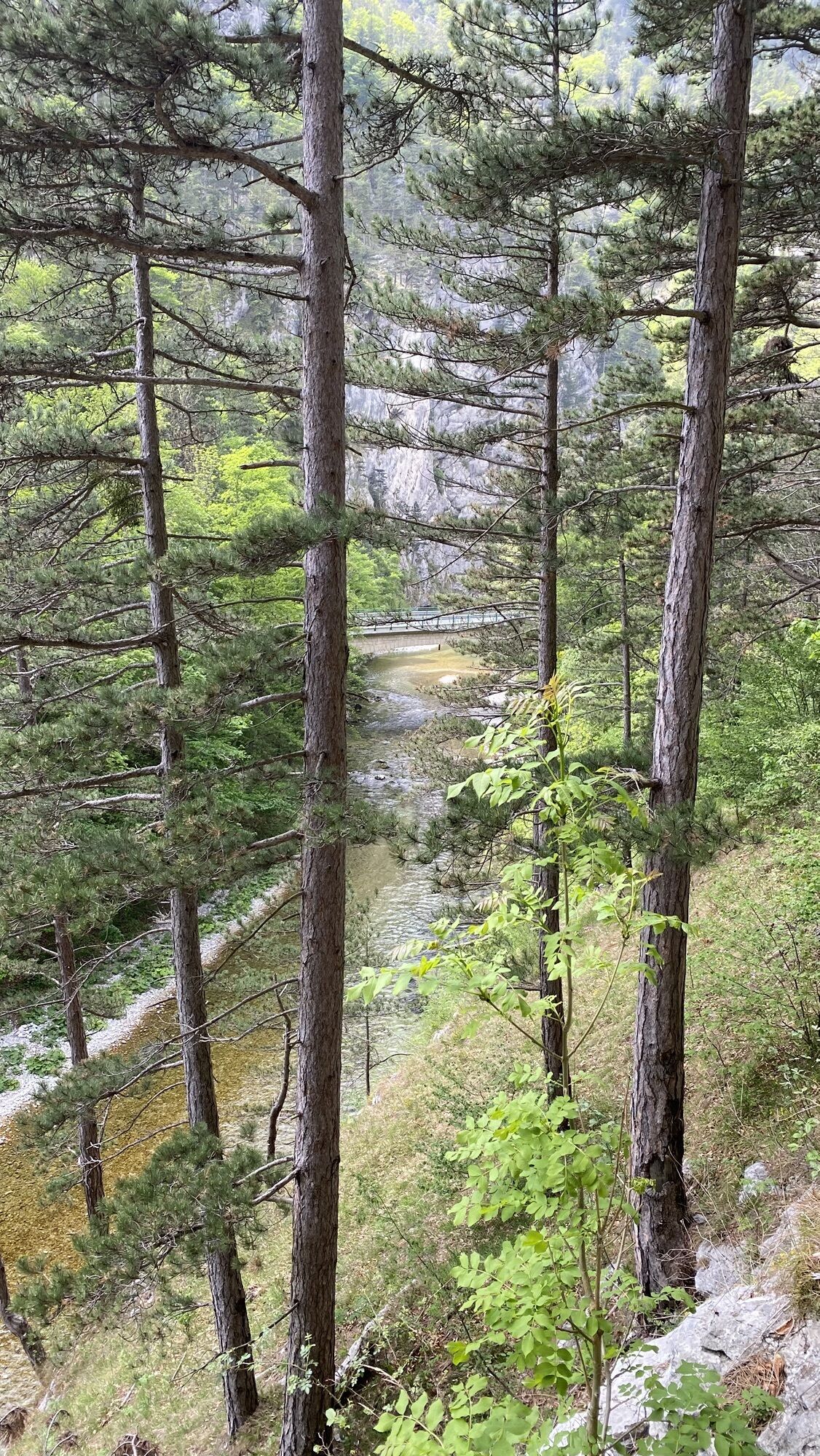
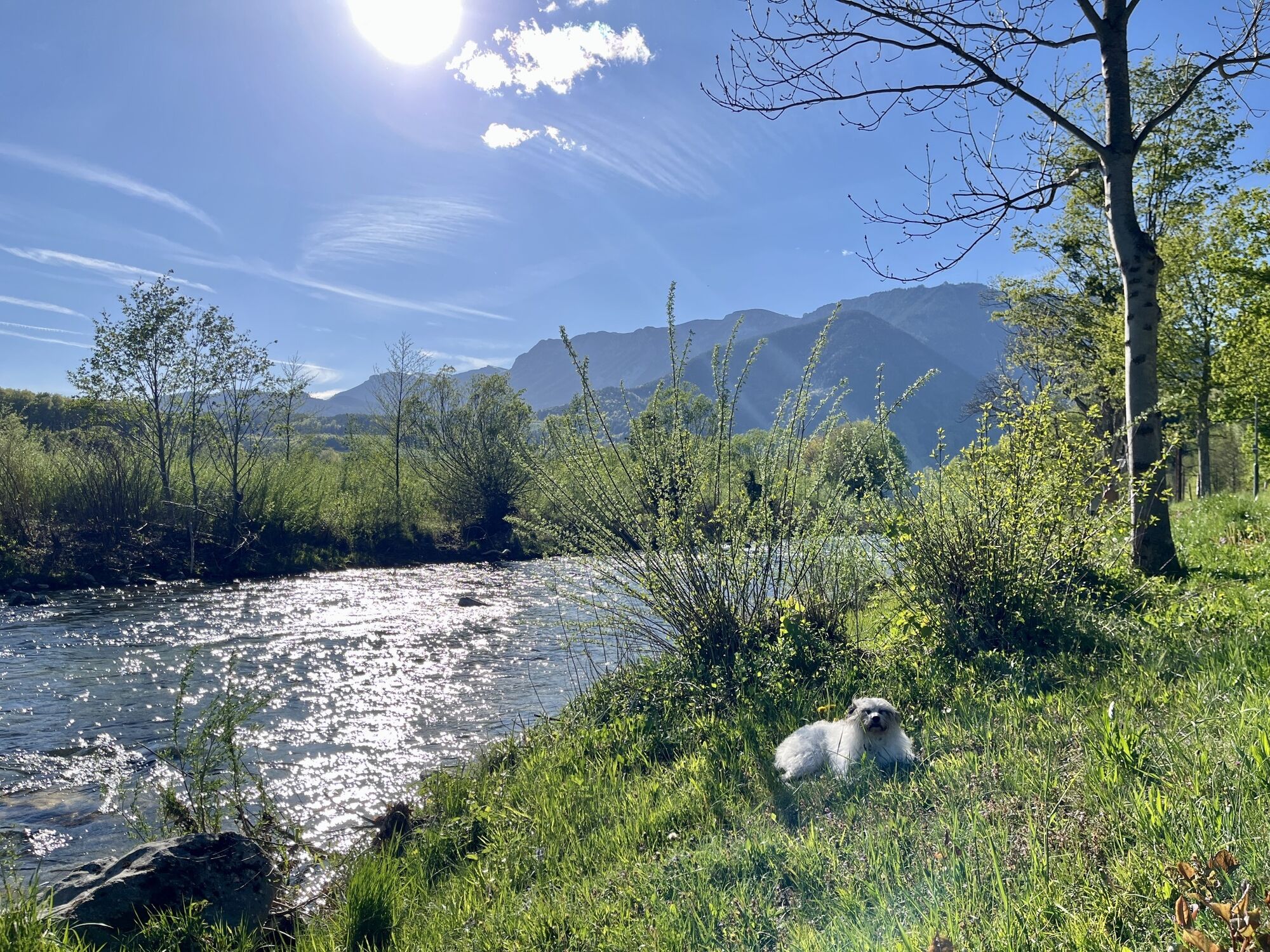
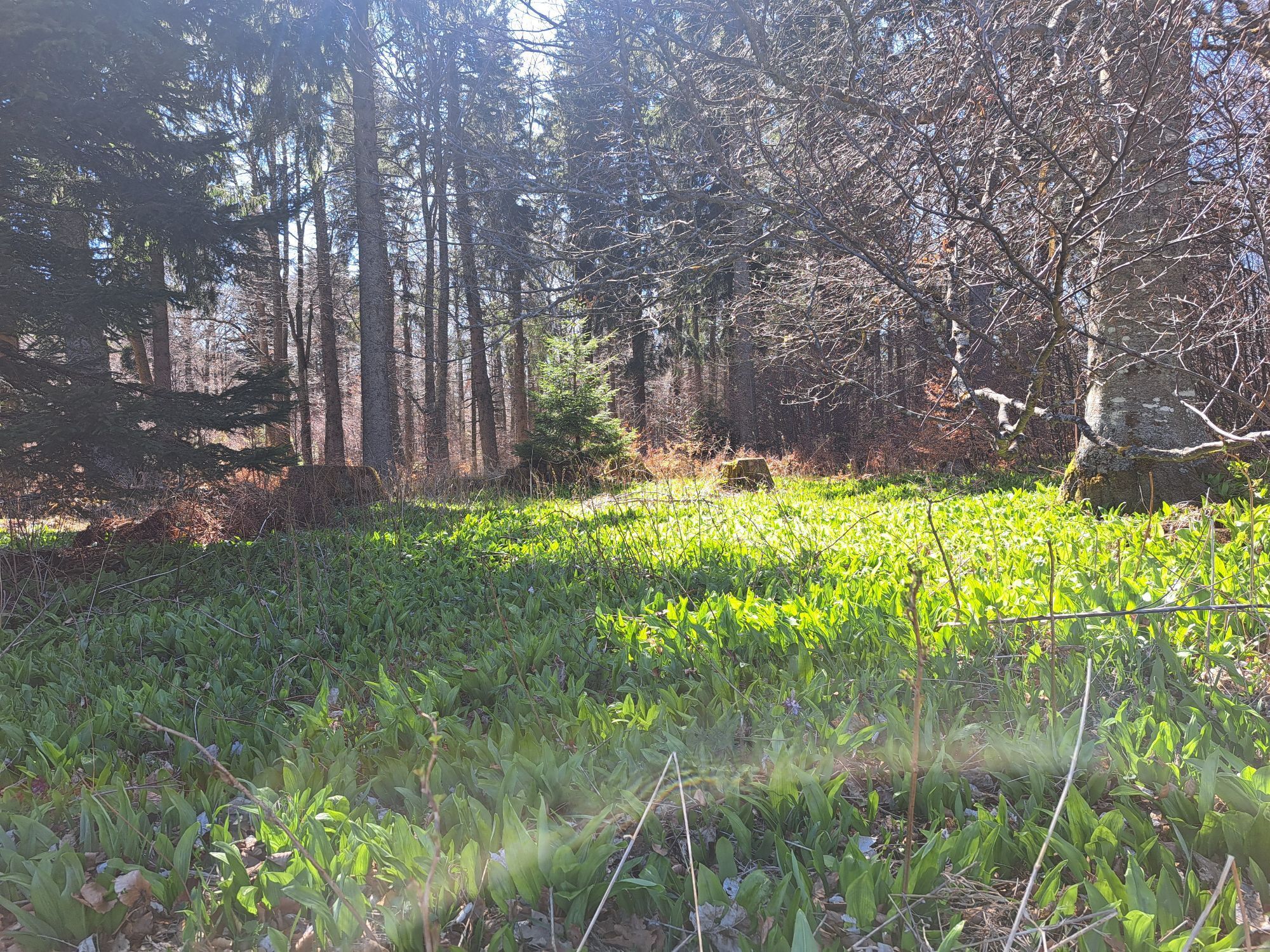
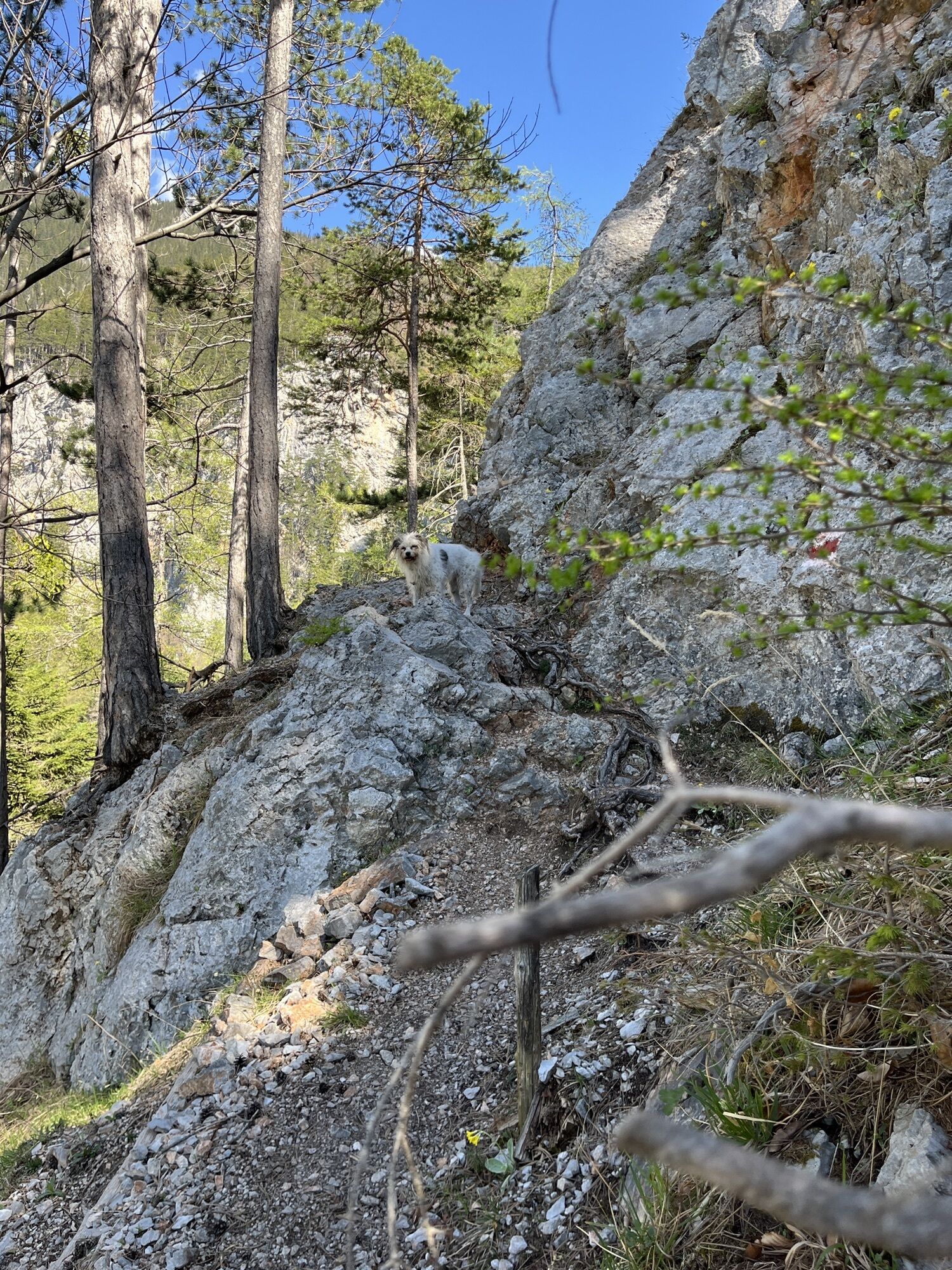
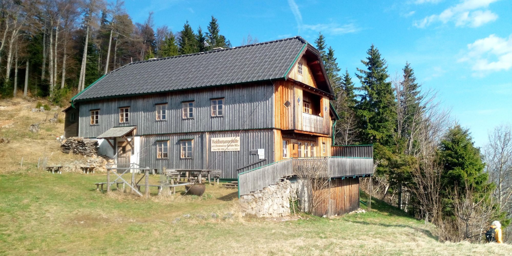
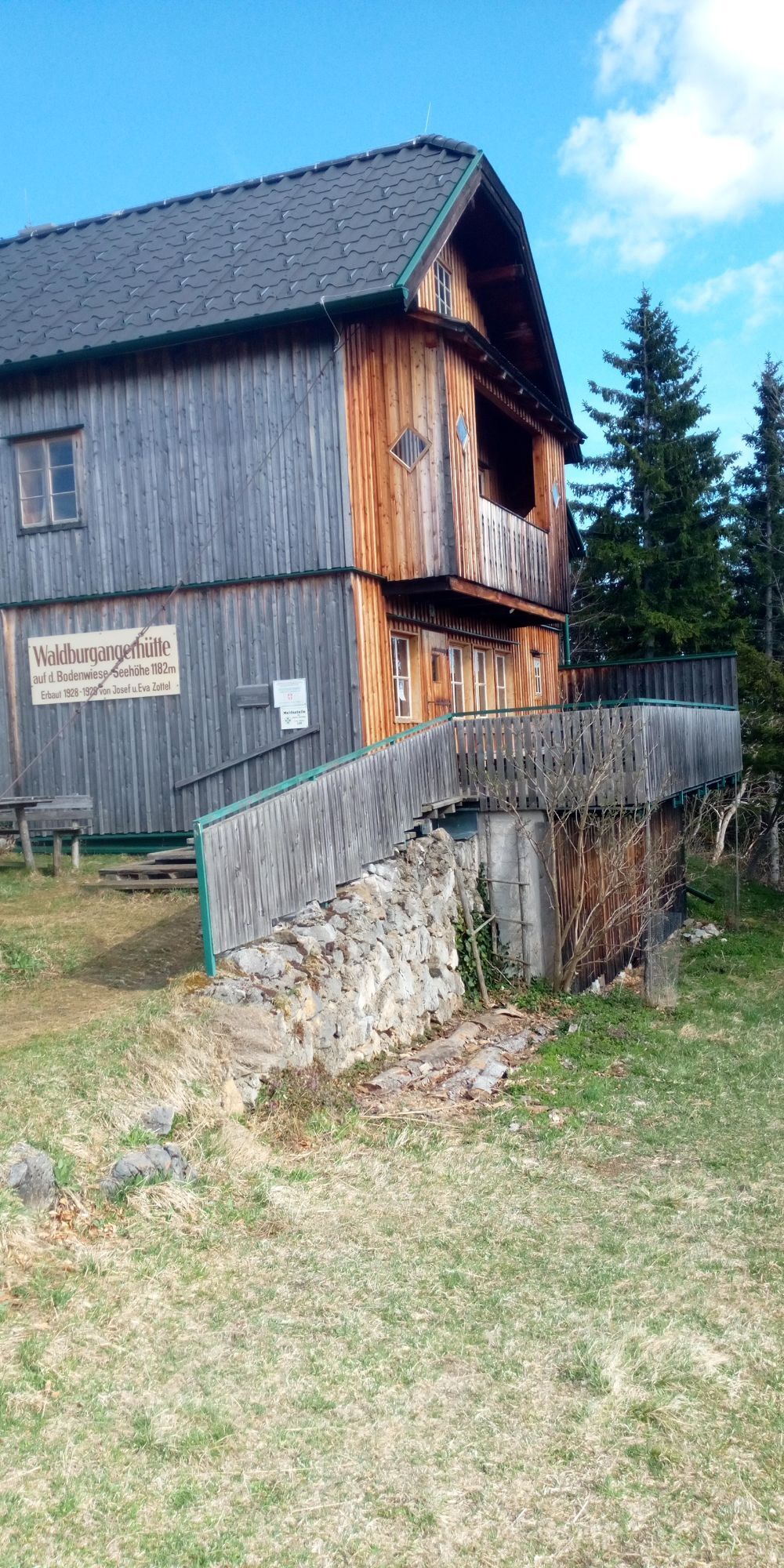
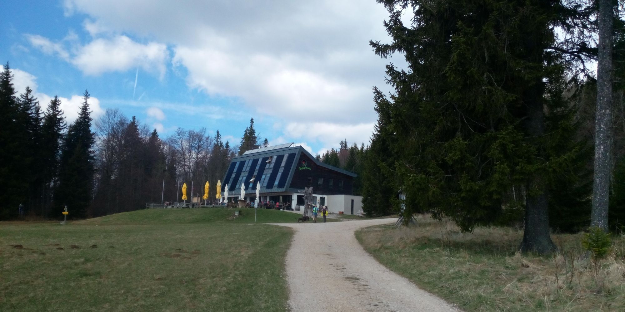
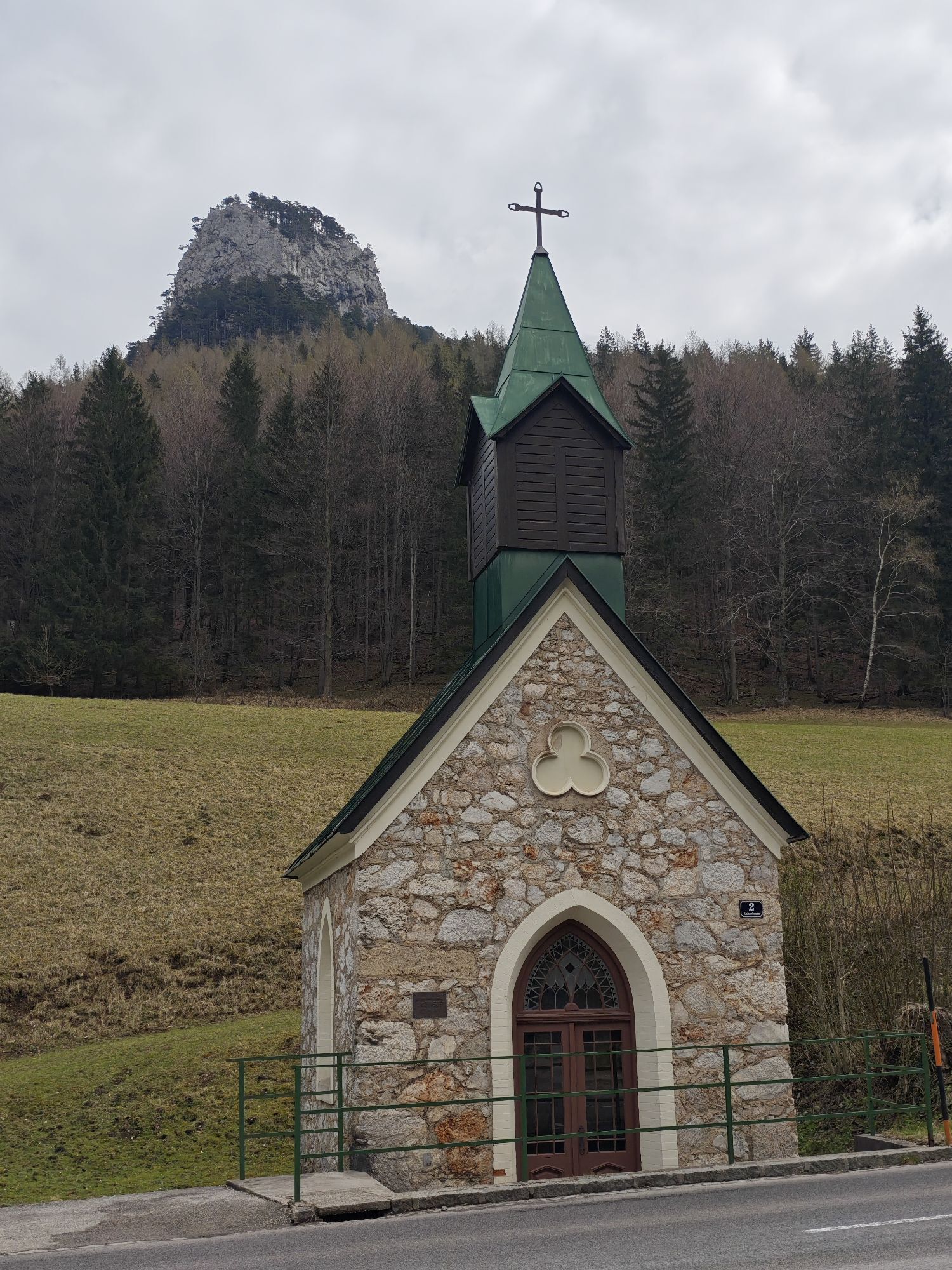
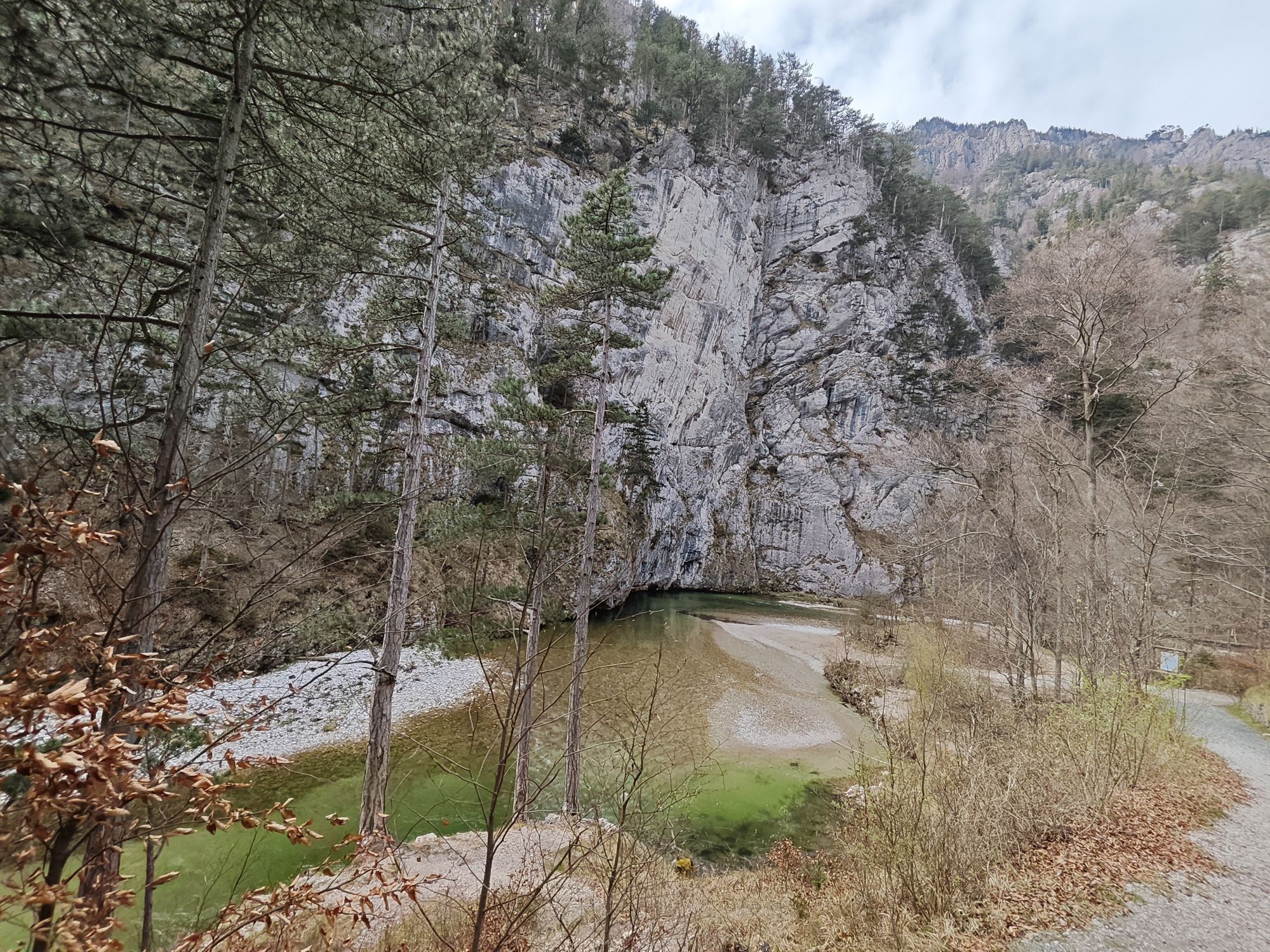
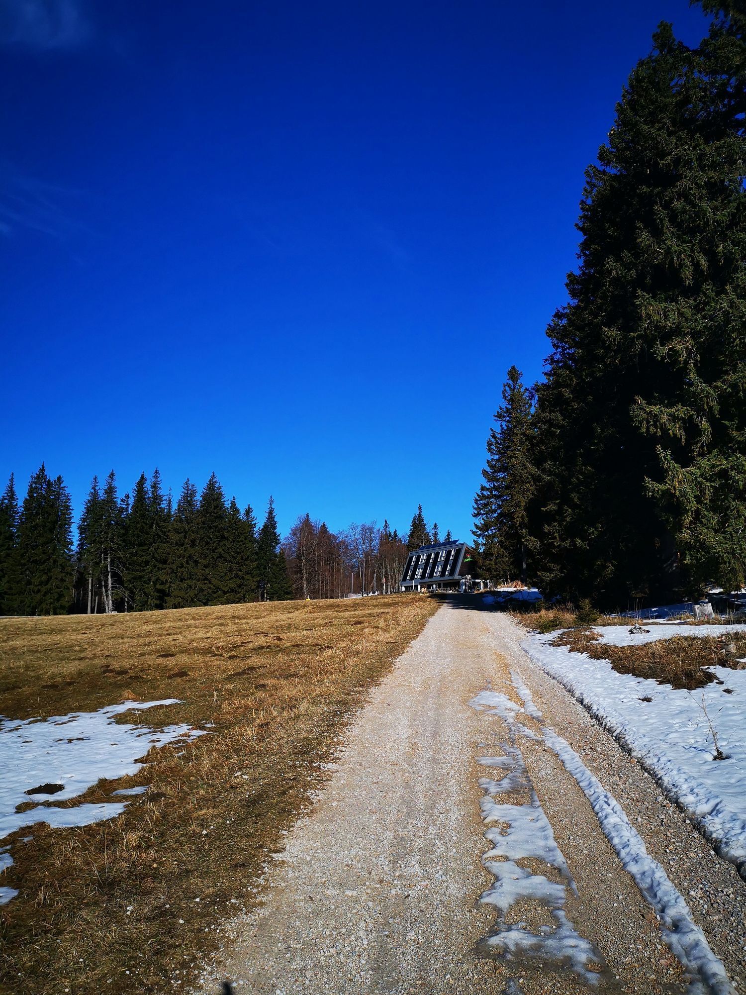
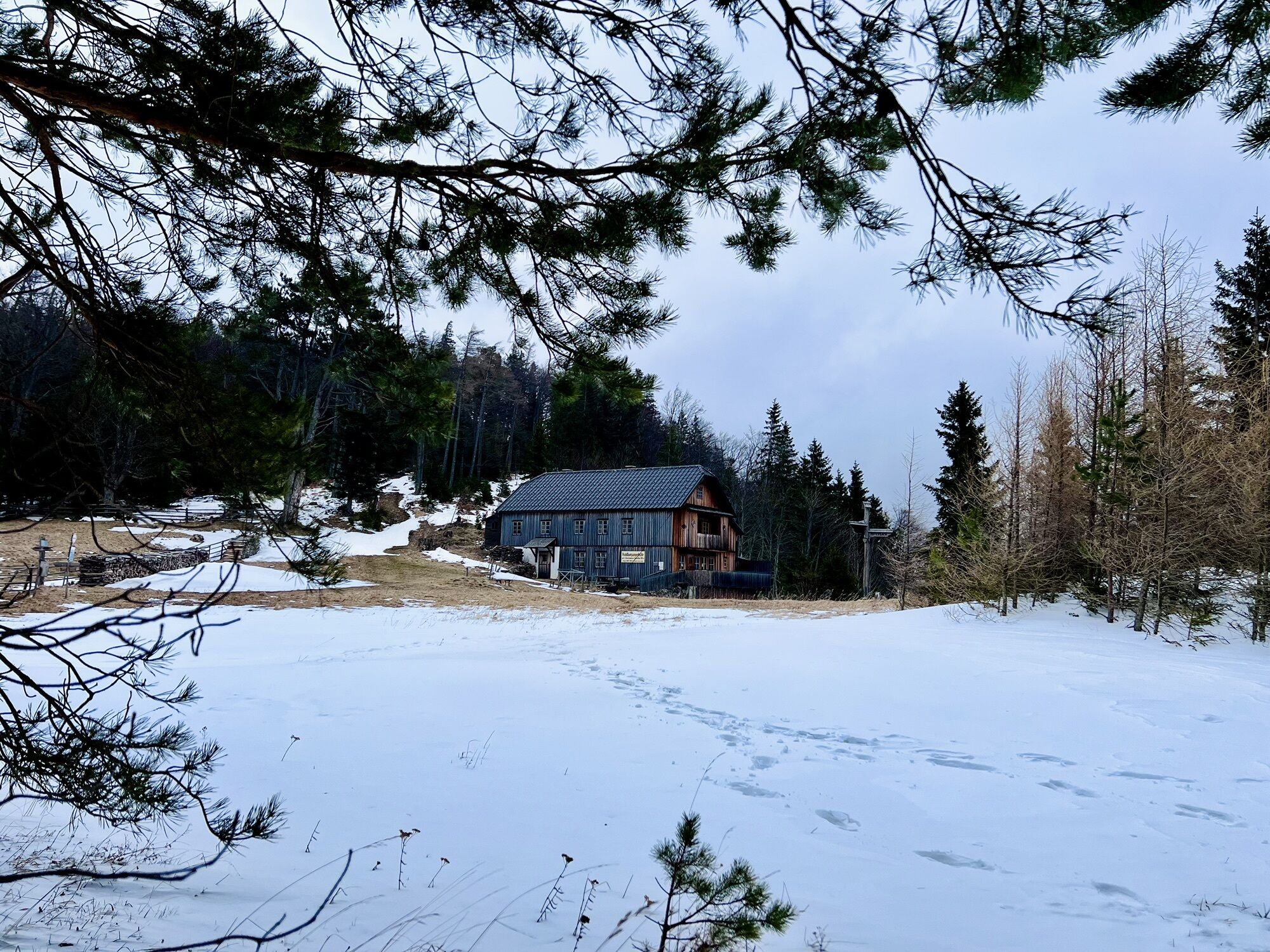
<p>The first hiking day takes us along the Vienna Alpine Arc to the Naturfreundehaus Knofeleben. From Payerbach station, we walk past the bus stops and turn right into Bahnhofweg. Again right, we go along Bahnhofstraße to the Payerbacherhof and cross the main road at the zebra crossing. We cross the Schwarza and turn right before Konditorei Alber, walking past the pavilion and the outdoor pool along the Schwarza under a railway viaduct. At the parking lot, we turn right towards the main road and then turn left into the town centre of the festival town Reichenau an der Rax. For about 15 minutes, we stroll along the main road, past the spa park to Erlangerpark, a small park laid out as a traffic island. Here we keep right and cross the Schwarza to Reichenau Castle.</p><p>In front of the impressive castle first mentioned in the 13th century, we turn left into Haabergstraße and follow the path alongside the rails of the Höllentalbahn for a long time. We are also already on the water pipeline path here, which we subsequently walk through the Höllental. At Hirschwang stop, we cross two railway tracks on the left, follow the asphalt road and turn right at the next intersection. Here, the street course must be followed; at the main road, we turn right, walk past the cardboard factory and leave the parking lot to the water pipeline path on the left. Shortly after the water pipeline path stone, we leave the street and turn towards the 1st Vienna Water Pipeline Path to Kaiserbrunn, which was established in 1998 on the occasion of the 125th anniversary of the Vienna high spring water pipeline.</p><p>Occasionally, short sections must be walked on metal grids, where especially dogs need to be careful with their paws. The water pipeline path is characterized by almost constant ups and downs, sufficient resting places beside the path and alternating proximity to water and rock. The end of the water pipeline path is in Kaiserbrunn. There is also a bus stop here. Then it continues to the Water Pipeline Museum (open Saturdays, Sundays and holidays from 10 am to 5 pm, weekdays only upon prior arrangement), where we can refill our water supply with fresh water.</p><p>We initially follow the marked path valley inward but soon turn to the signposted Miesleitensteig. At a steep scree slope, watch out briefly for falling rocks; steel cables assist the ascent. Soon the forest road is reached on the marked path, which leads us keeping left to the <strong>Naturfreundehaus Knofeleben</strong> – formerly Friedrich-Haller-Haus – opened in 2012 and our accommodation for today.</p><p>Known as the "brightest hut in the Alps," it came first place among the huts that can be hiked to in 2014. On the second day, we hike on Regional Route J beside the foreland Knoblwiese on the forest road in a south-easterly direction. On the right, a hiking trail branches off to Eng, but we stay on the blue-marked forest road. After a long right curve, a hiking trail from Lackabodengraben joins from the right, shortly afterwards we turn left onto a forest path towards Waldburgangerhütte. Behind the already visible Lackaboden hut, we turn right to the forest path, follow the blue marking and hike on the gravel road to Bodenwiese. Initially, we hike the meadow path southwards, with the option to turn left to Halterhütte to visit Gabi, and reach Waldburgangerhütte at the southern end of Bodenwiese by keeping left on the gravel road.</p><p>The hut, largely known for its Schöberl (a type of Austrian pastry), is open on Saturdays, Sundays, and holidays from May to October. Opposite the hut, the descent paths to Payerbach begin. We keep left here and follow the signage towards "Bahnhof Payerbach via Hochberger." At the upcoming forest road, the yellow-marked trail number 11 branches off to Obertal; we walk right on the forest road and after a few meters change to a blue-marked trail on the left to Payerbach. We cross a forest road, follow the trail and visit the Jubilee viewpoint. From here, there is a view over the Rax and Semmering area. Back on the path, we continue hiking down the forest path, partly secured with chains. Nearly 300 meters below the Jubilee viewpoint, we reach an asphalt road, which passes by Hochberger farmstead and is soon left for a forest path on the left again. Shortly afterwards, we cross the asphalt road again and follow the blue-marked forest path downhill, leaving the green branching hiking trail to the right. We hike down the upcoming service road in two switchbacks and see Payerbach/Reichenau station ahead. The last meters are through the underpass and we reach the station on the left.</p>
<p>Always take suitable <strong>maps</strong> with you. Wear firm <strong>shoes</strong> adapted to the route, take sun and rain protection as well as water and a snack. Bring your <strong>mobile phone</strong> and save the mountain rescue emergency number: 140</p>
<p>Your hikes in the Vienna Alps should be a thoroughly pleasant and safe experience. Please consider the following:</p><p><strong>Preparation </strong></p><p>Make sure when choosing the route that it matches your mountain experience and <strong>fitness</strong>. Check the <strong>weather report</strong> in advance. The weather can change surprisingly fast in the mountains. Therefore, always set out appropriately equipped (e.g., rain protection).</p><p>Check whether the <strong>huts and snack stations</strong> you want to visit on the way are open. <strong>Inform</strong> someone about the chosen route and your planned return before you set off.</p>
<p>From Vienna on the A2 / From Graz on the S6, leave the motorway at the Gloggnitz exit. Continue on B27 following the signs to Payerbach/Reichenau.</p>
<p>Take the <a href="fahrplan.oebb.at">train </a>to Payerbach-Reichenau station, the starting point of the route. </p><p><strong>TIP:</strong> On site, you have the possibility to move individually with the <a href="anachb.vor.at">Regionalbus 341</a> or with the <a href="www.semmering-rax.com/shuttle"&g... Semmering-Rax</a>. Book the RUFbus with the <a href="www.semmering-rax.com/postbus-app&quo... shuttle app,</a> via your accommodation or tourism offices.</p><p>For more information and timetables, visit <a href="fahrplan.oebb.at">fahrplan.oe... and <a href="anachb.vor.at">anachb.vor.at&...
<p>Parking available at the station.</p>
Vienna Alps in Lower Austria, www.wieneralpen.at, +43 / 2622 / 78960
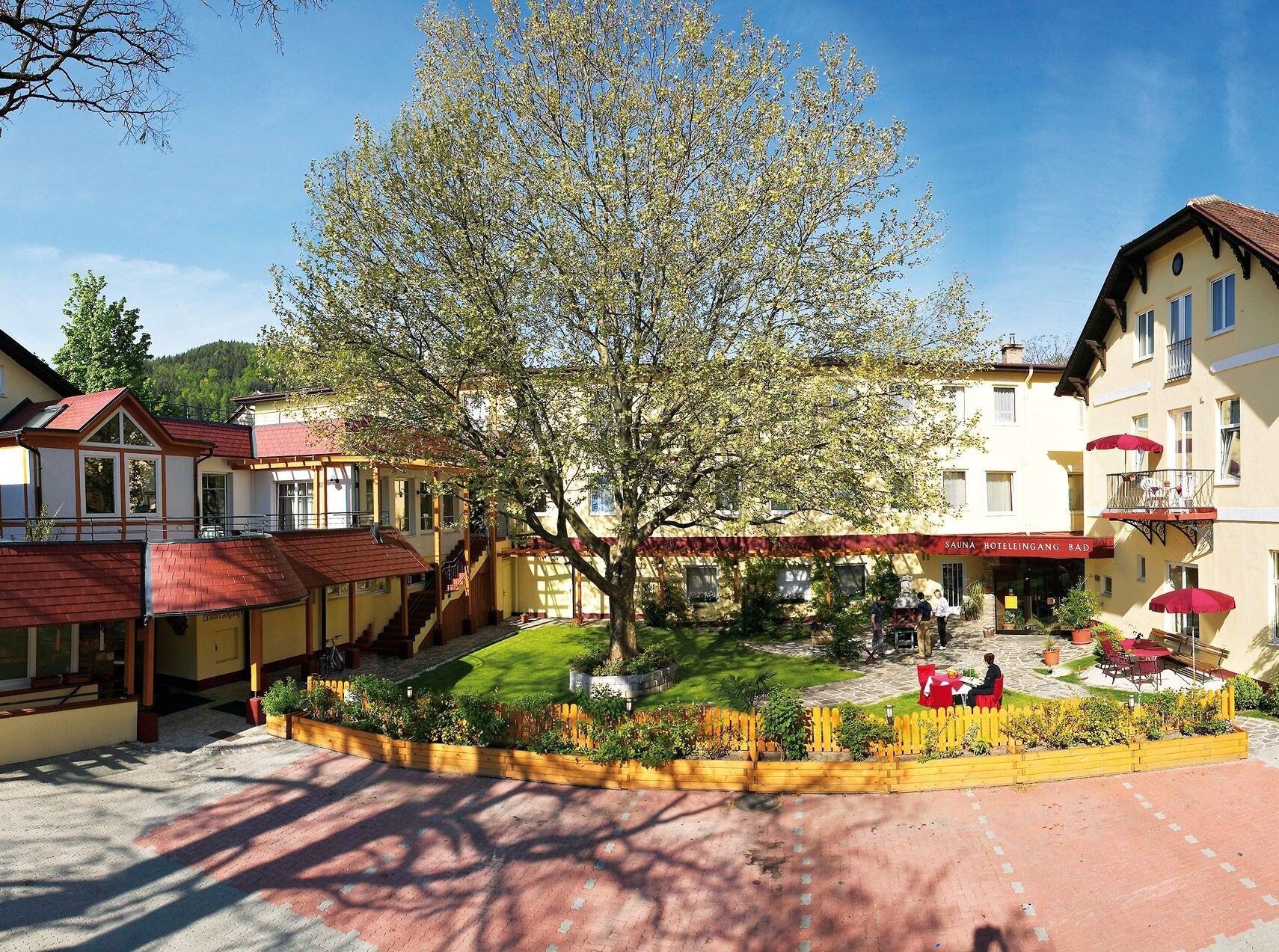
Day before: Arrival by train to Payerbach, overnight stay at Payerbacherhof
Day 1: Hike up to Naturfreundehaus Knofeleben, overnight stay there. (Attention: closed on Monday!)
Day 2: Descent, stop halfway at Waldburgangerhütte. Departure from Payerbach.
Especially on weekends, availability of a sleeping place at Naturfreundehaus Knofeleben (closed on Monday) must be checked by phone. Bring enough water, as drinking water sources between Kaiserbrunn and Payerbach are scarce. Please note that Waldburgangerhütte is only open on Saturdays, Sundays, and holidays.
Webové kamery z prohlídky
Získejte přehled
Vždy živě na místě s více než 9 500 webkamerami. bergfex Jako uživatel Pro si nyní můžete zobrazit odpovídající webové kamery pro mnoho prohlídek v aplikaci prohlídky z. Můžete si tak přímo prohlédnout aktuální podmínky.
Oblíbené prohlídky v okolí
-
4.6
Losenheim: Edelweißhütte - Fadensteig - Fischerhütte
středníTuristika 11.5 km -
4.7
Zahnradbahn und Wandern am Schneeberg - Plateauwanderung
středníTuristika 6.90 km -
4.8
Cultural walk Payerbach-Reichenau
světloTuristika 7.43 km -
4.8
Rax - Heukuppe
Turistika 15.6 km -
5.0
"Weichtalklamm" über Stock und Stein durch das Höllental - Weichtalhaus - Kientallerhütte 1340m
středníTuristika 14.0 km -
5.0
Insider tip: Schneeberg via the Novembergrat
heavyTuristika 13.5 km -
4.9
"Über den höchsten Nieder-Ösi" - Schneeberg - Weichtalklamm - Klosterwappen - Stadlwandleiten
středníTuristika 17.7 km -
4.9
Reißtalersteig und Gretchensteig
heavyTuristika 8.10 km -
4.9
SCHNEEBERG Losenheim Nandlgrat Klosterwappen Fadenweg 28.09.2017
heavyTuristika 15 km -
4.9
RAX Preiner Gscheid Waxriegel Predigtstuhl Heukuppe Karl L.Haus ret. 20210908
středníTuristika 12 km
Pěší turistika a stopování


Nenechte si ujít nabídky a inspiraci pro vaši příští dovolenou
Vaše e-mailová adresa byl přidán do poštovního seznamu.





