







"alpannonia" stage 4 Hochneukirchen - Bernstein
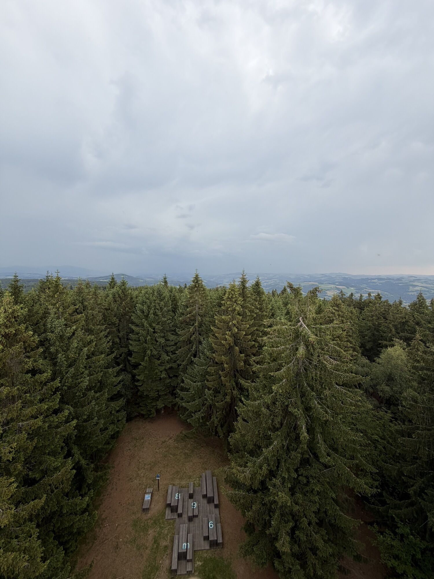
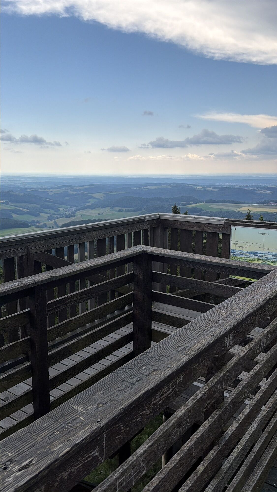
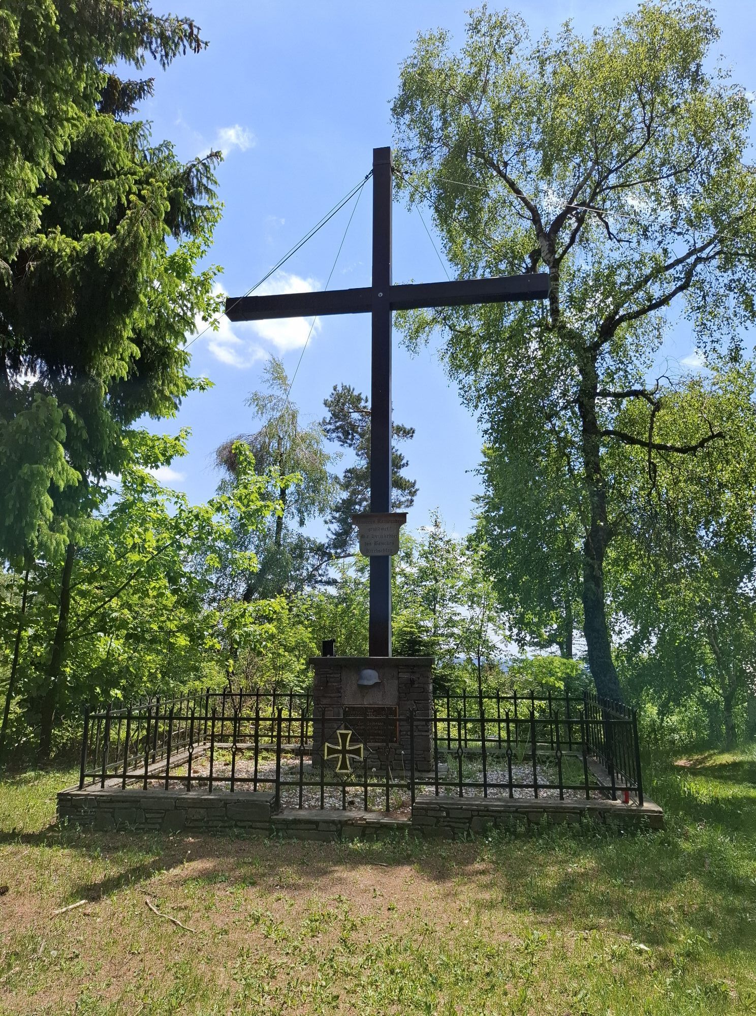
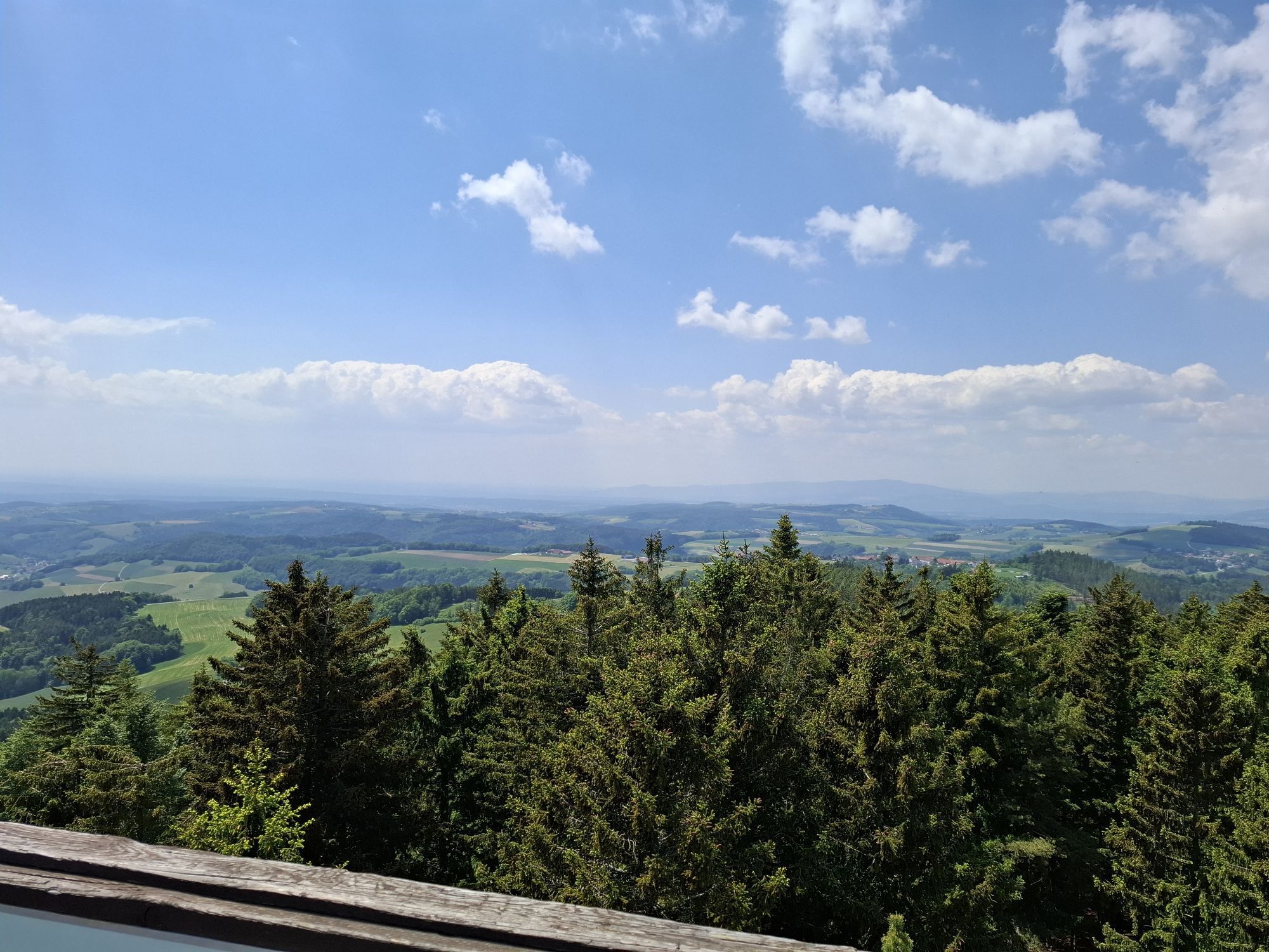
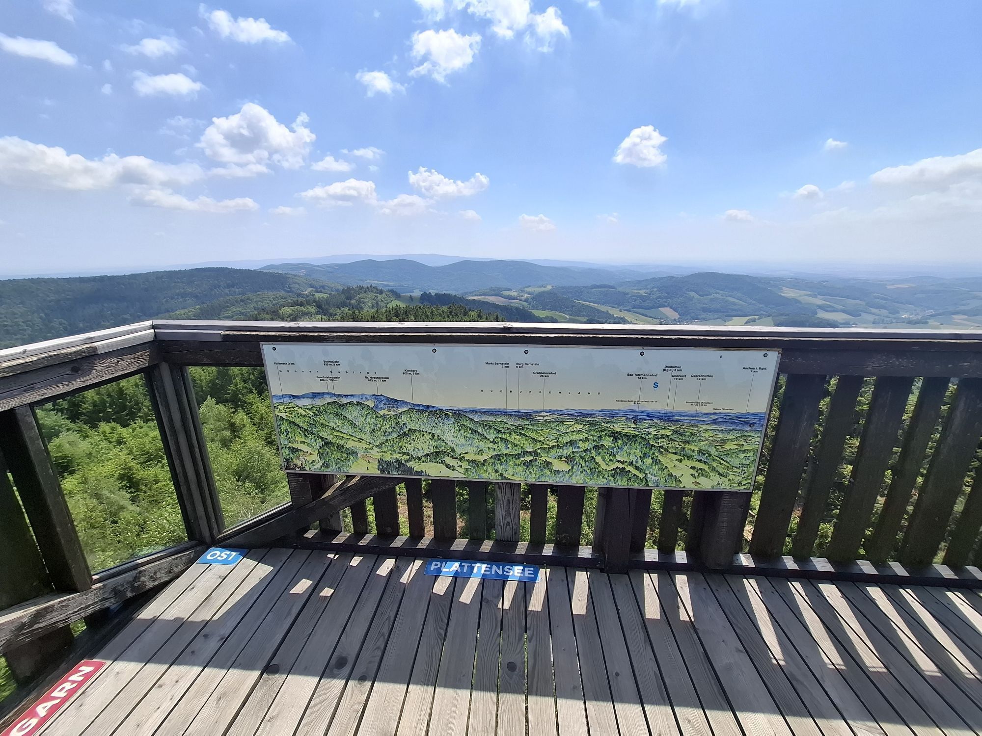
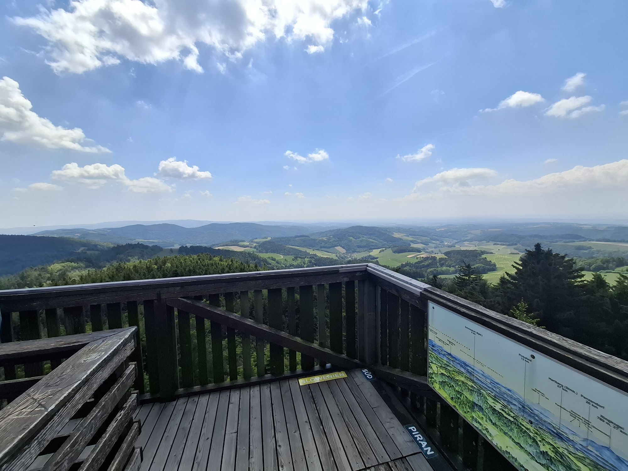
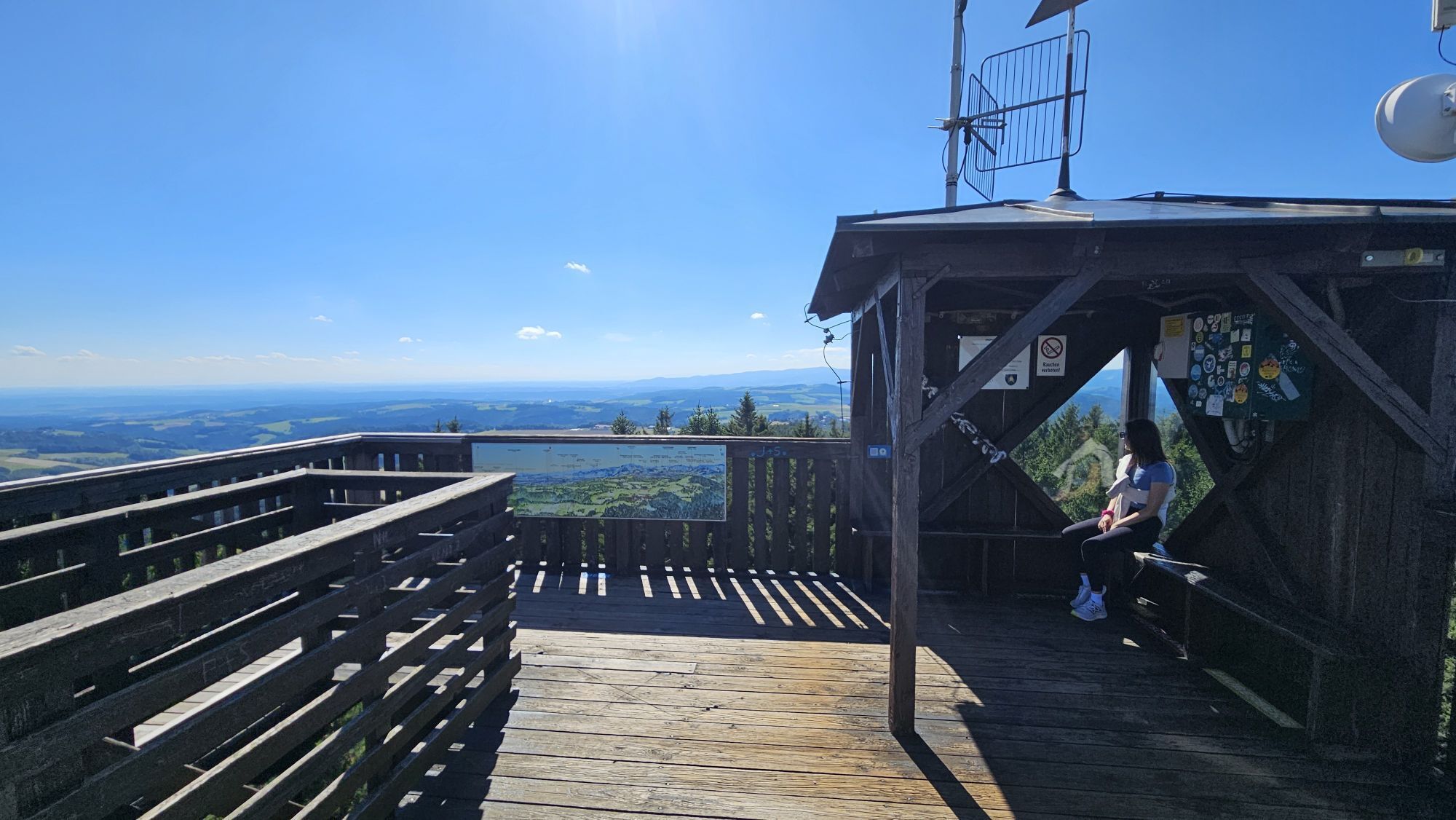
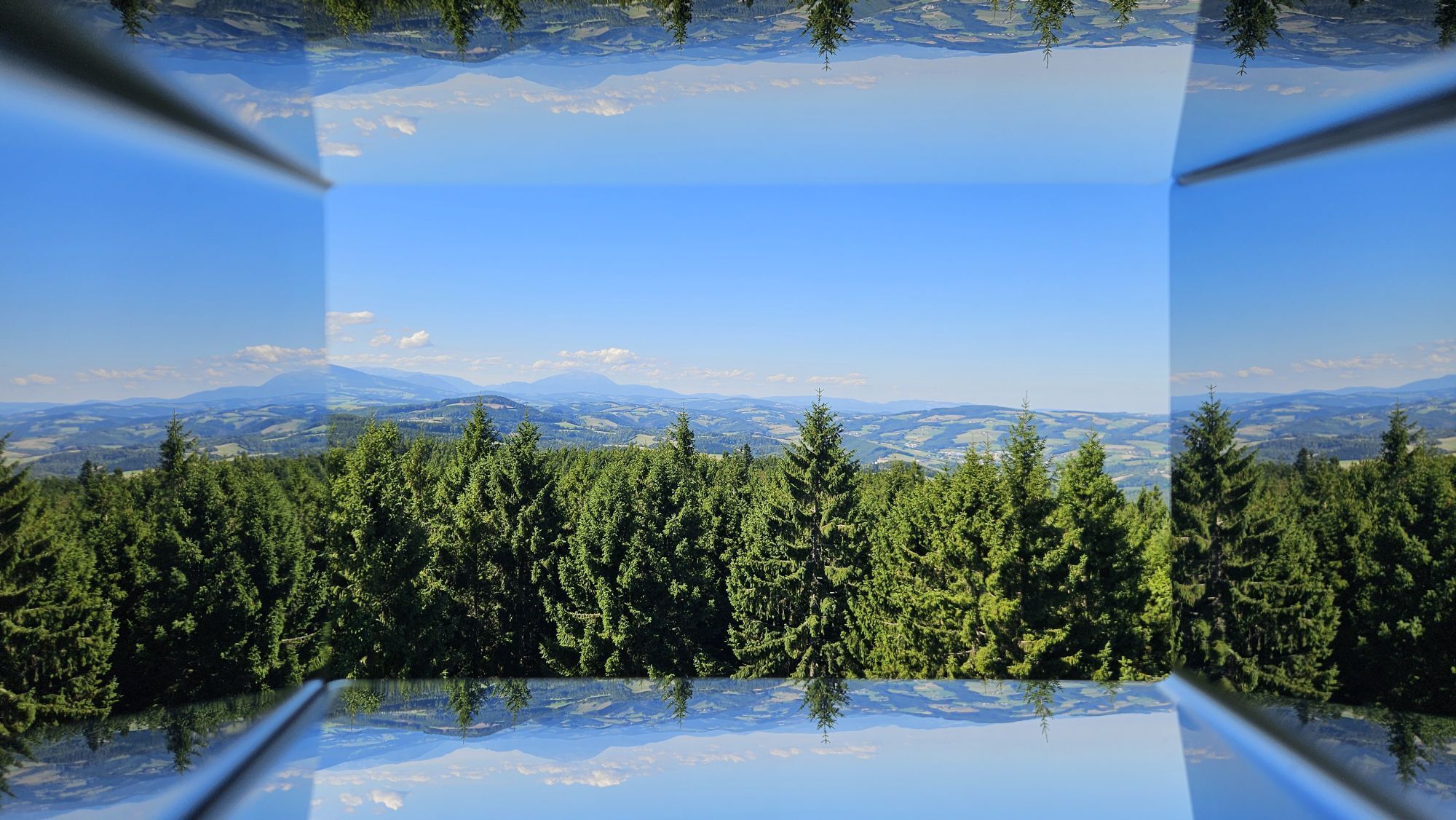
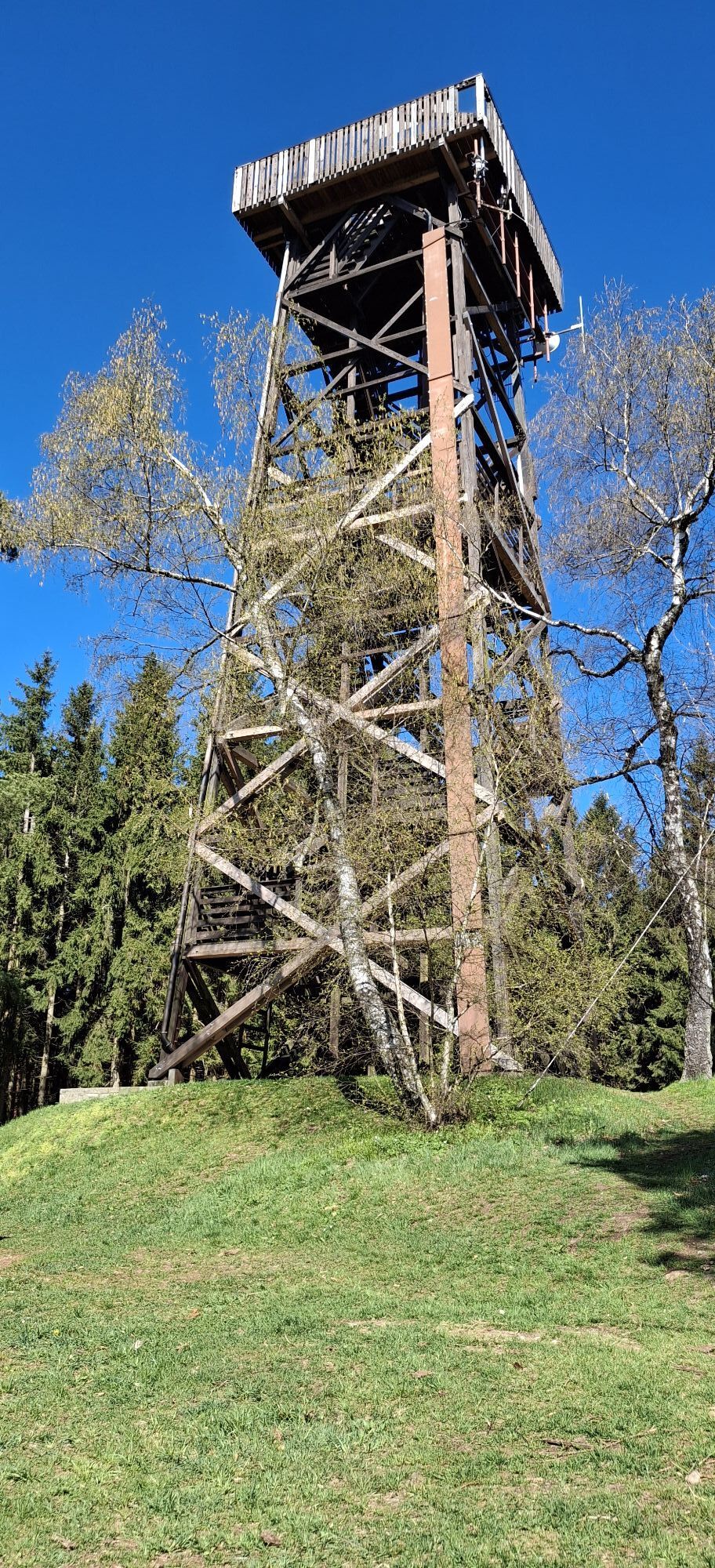
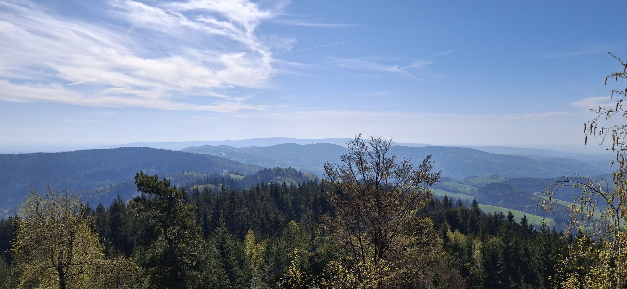
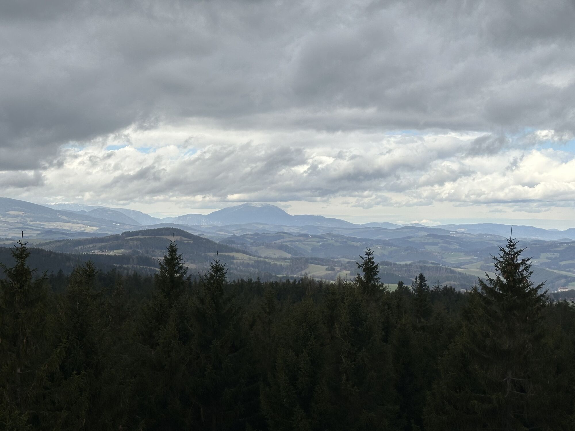
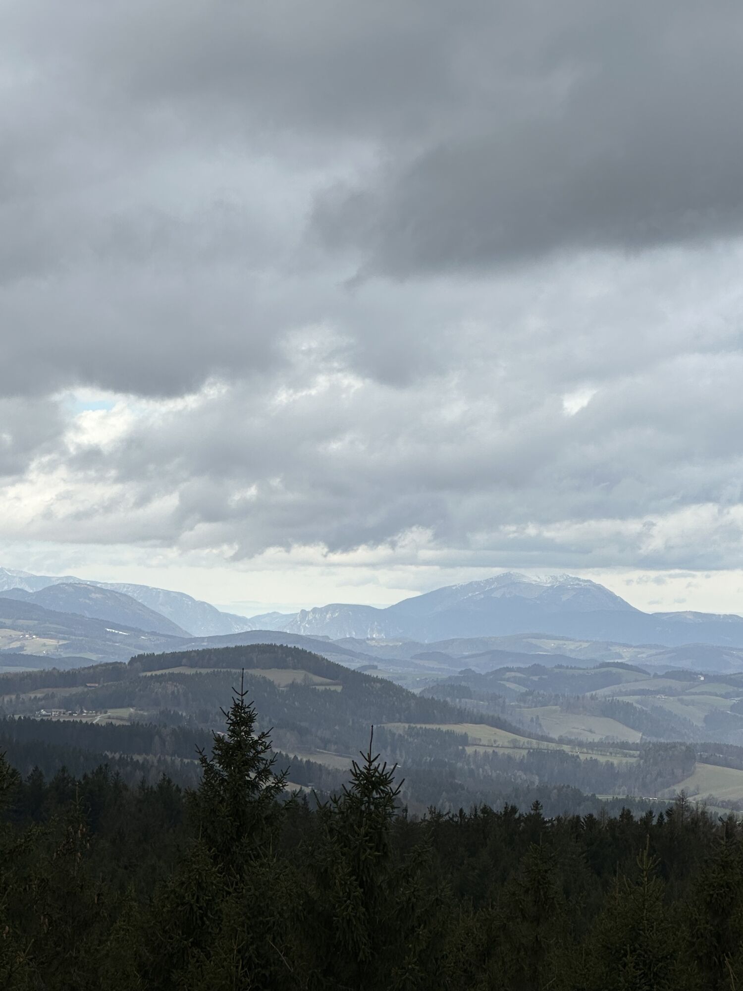
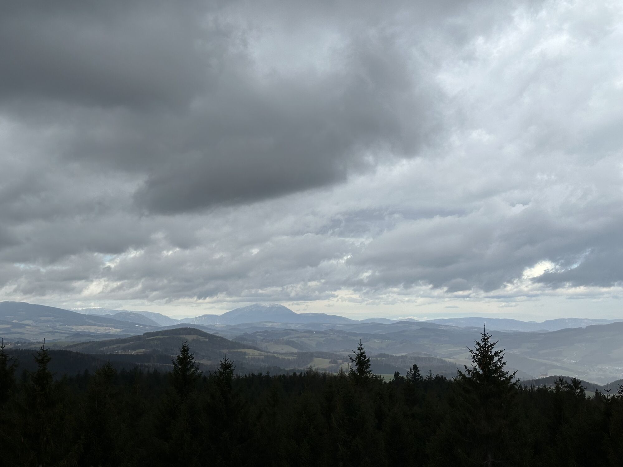
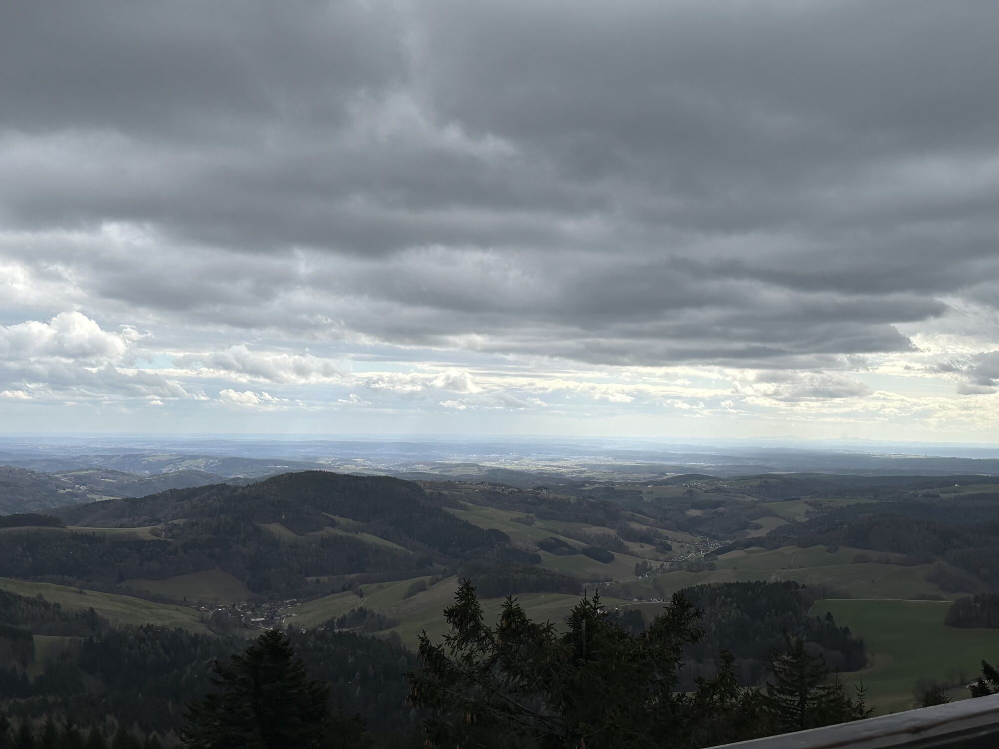
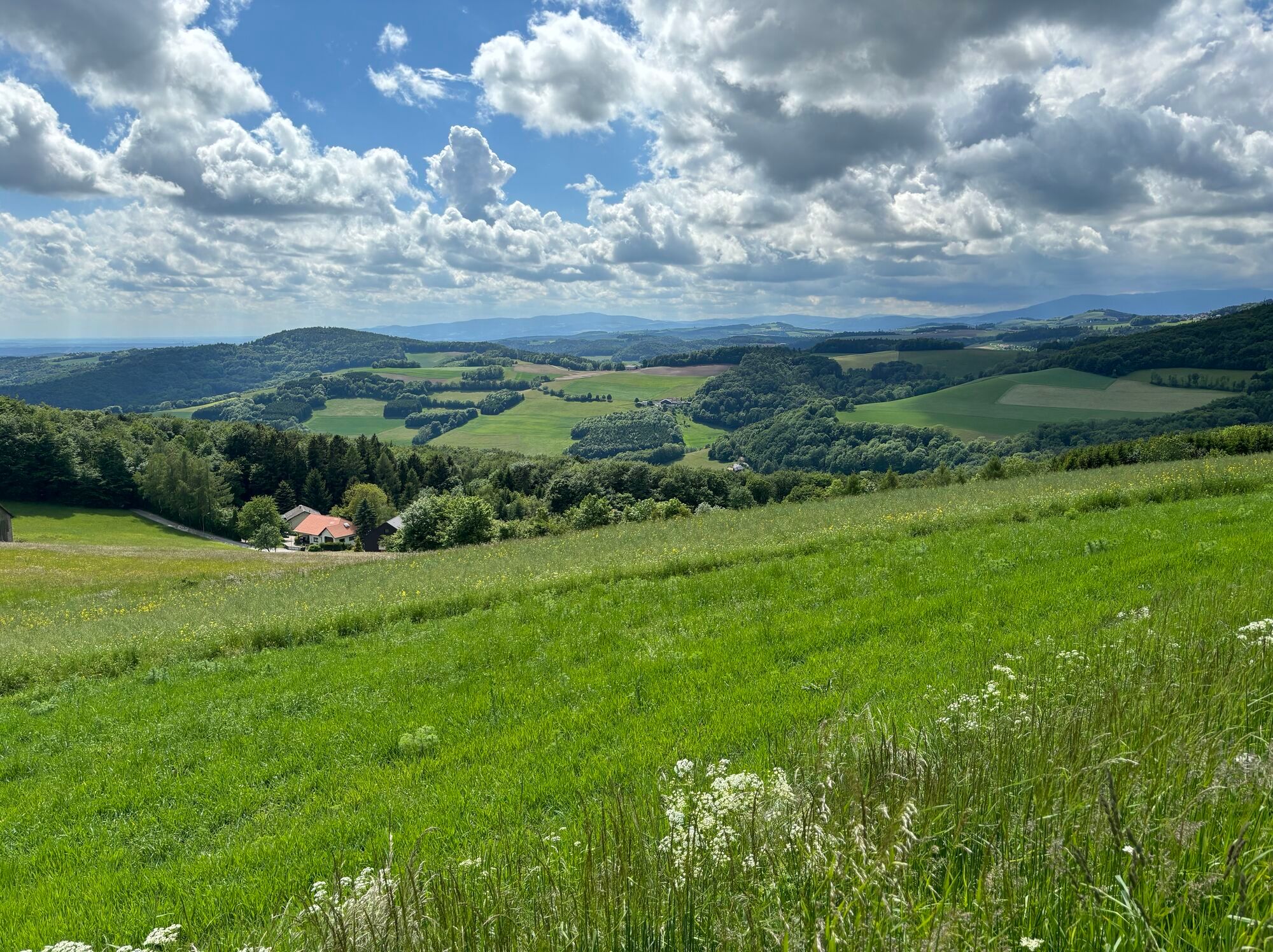
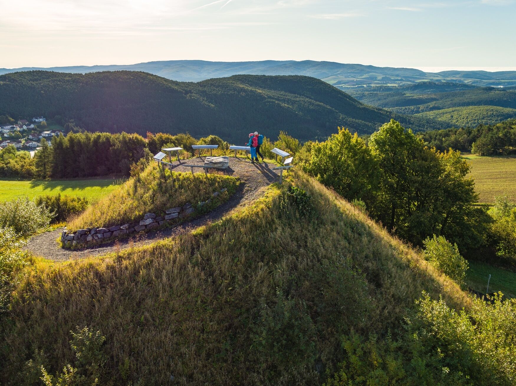
From the Hutwisch car park over the Hutwisch (896m) with its popular viewing tower, you follow the hilltops to Kalteneck and to the newly built viewing platform (now affectionately called “Guglhupf”) near...
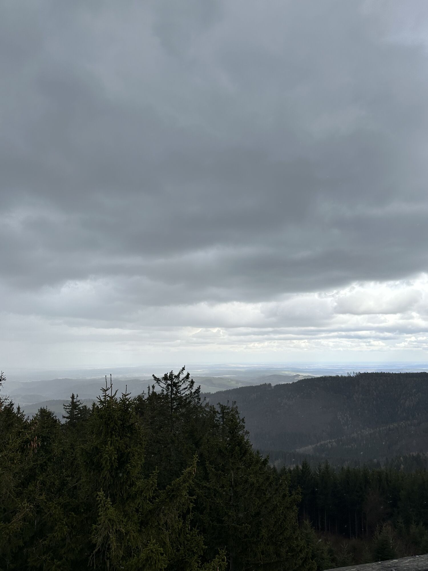
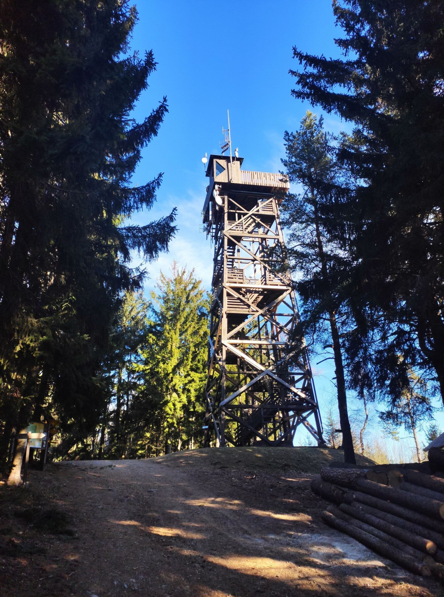
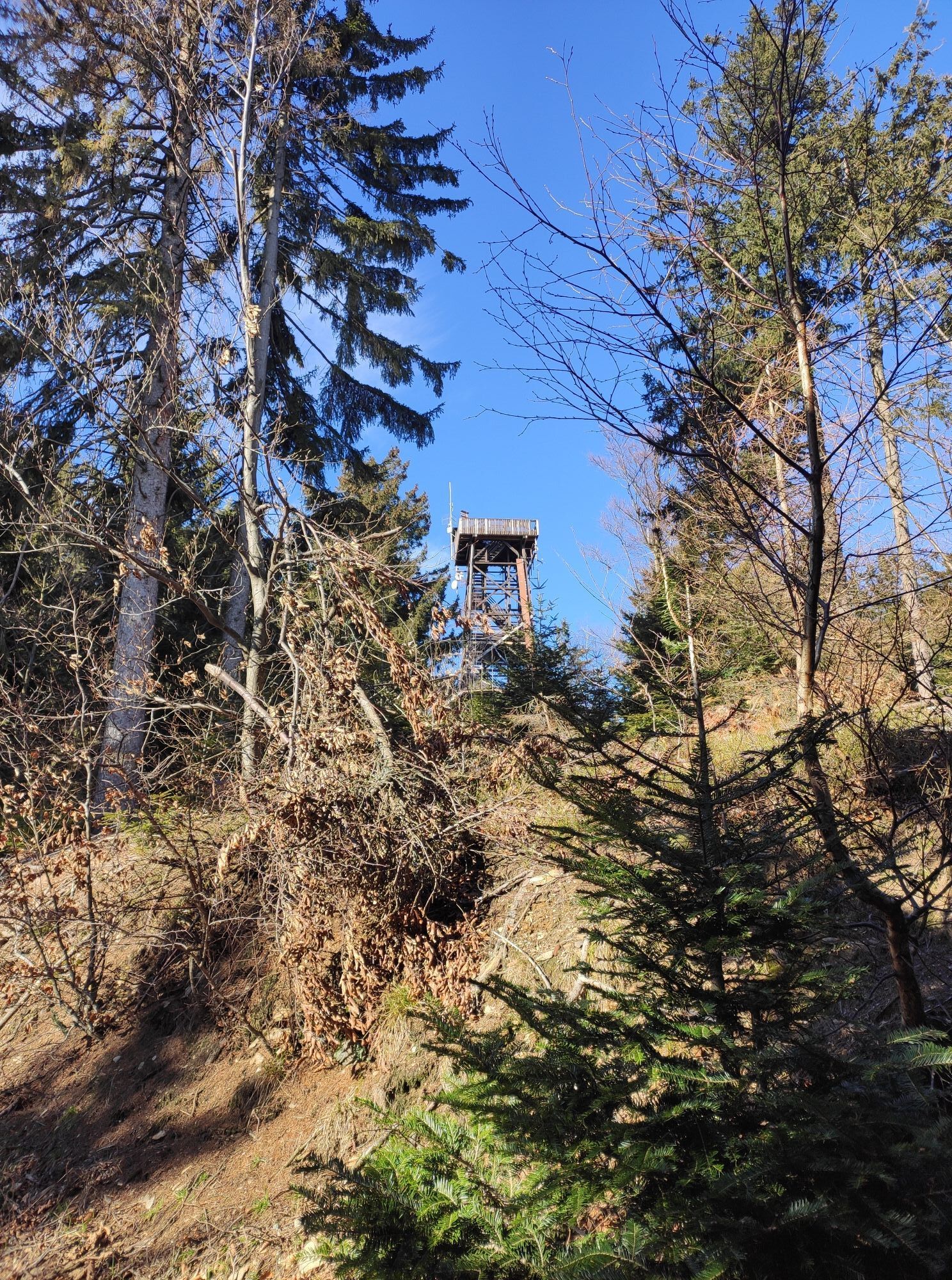
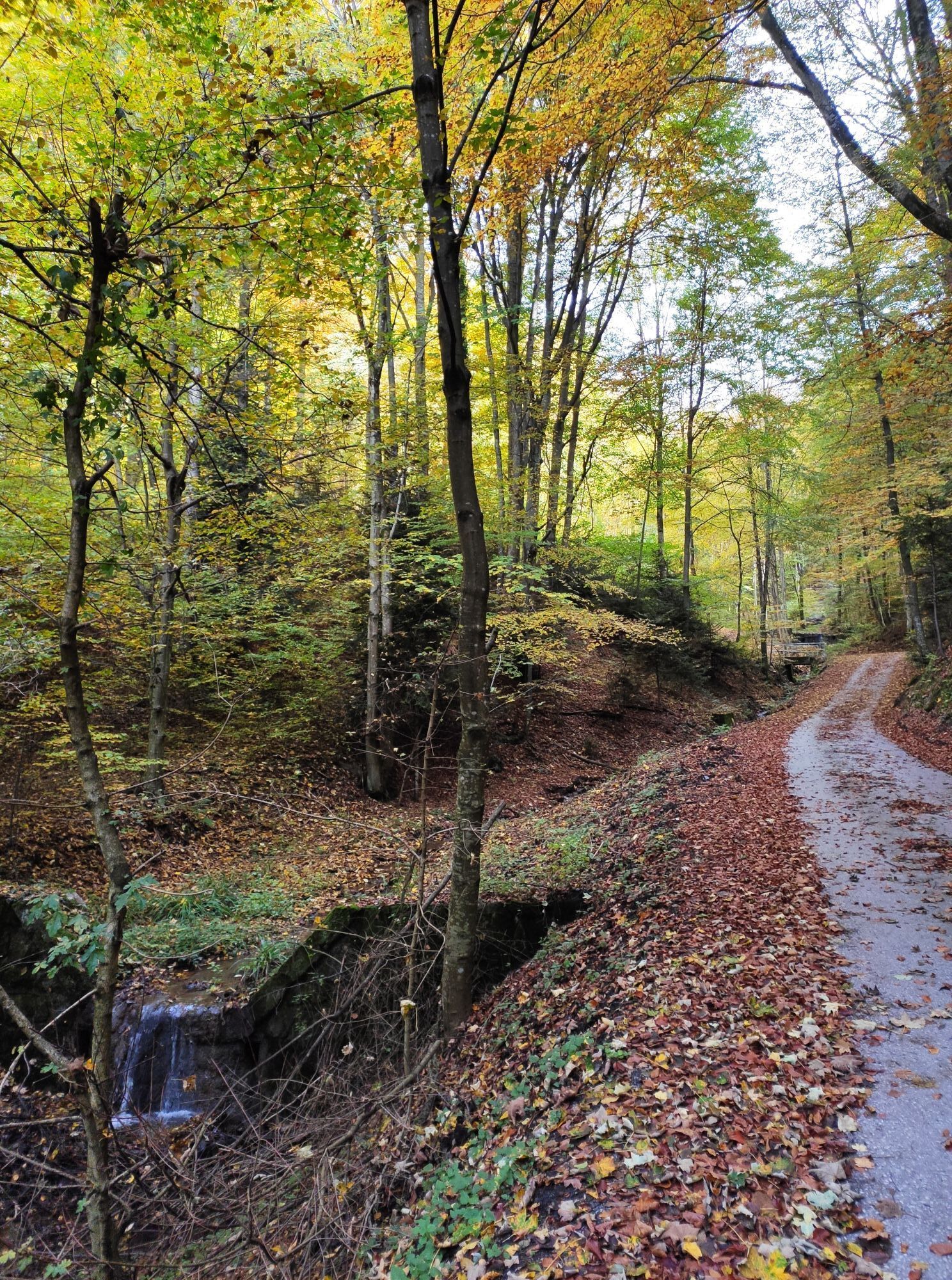
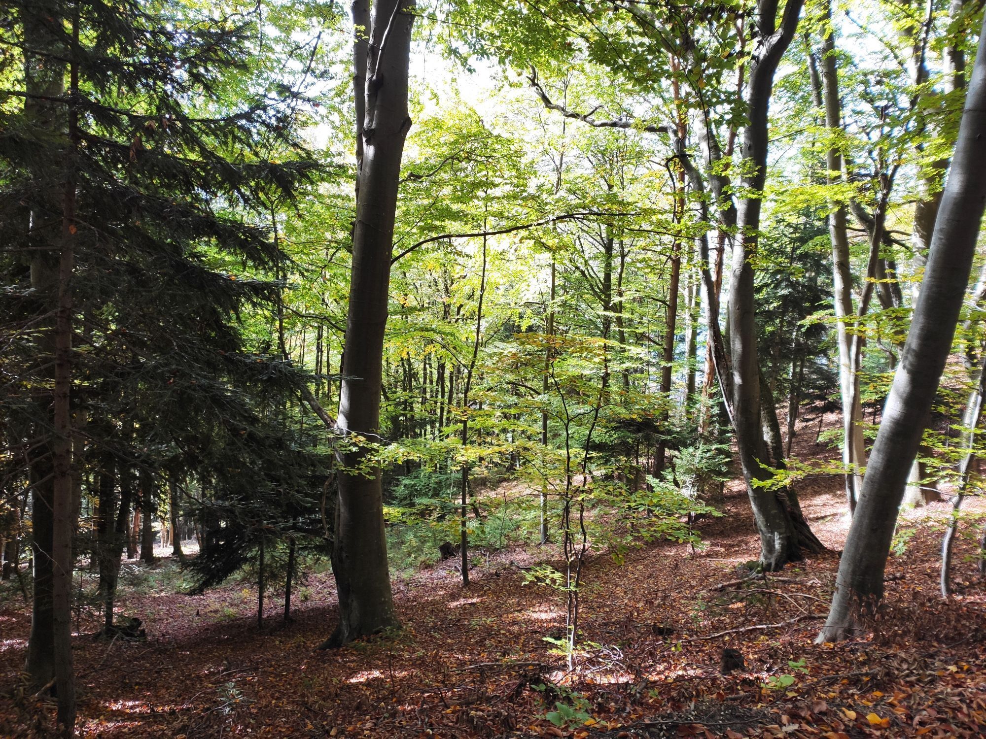
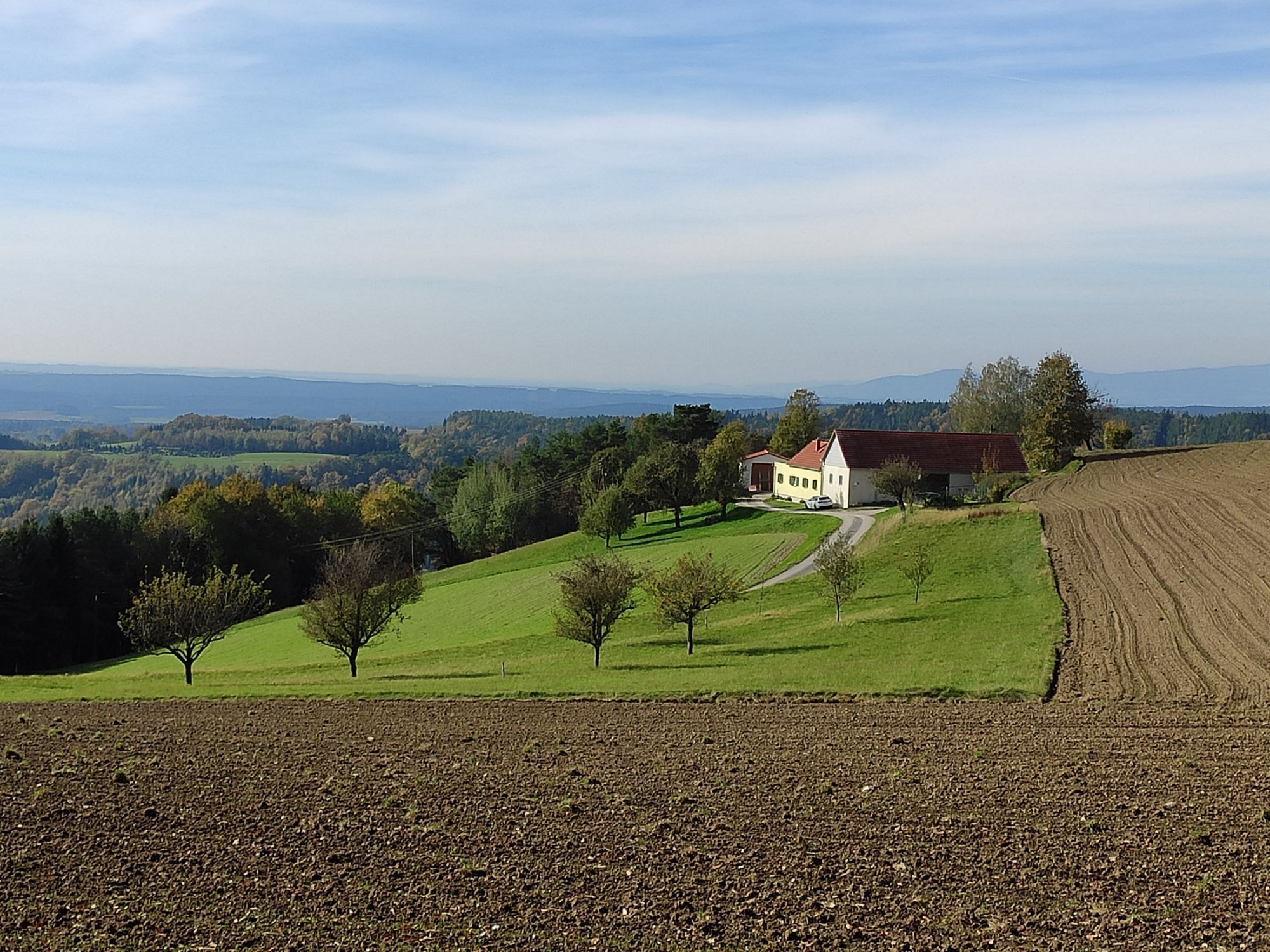
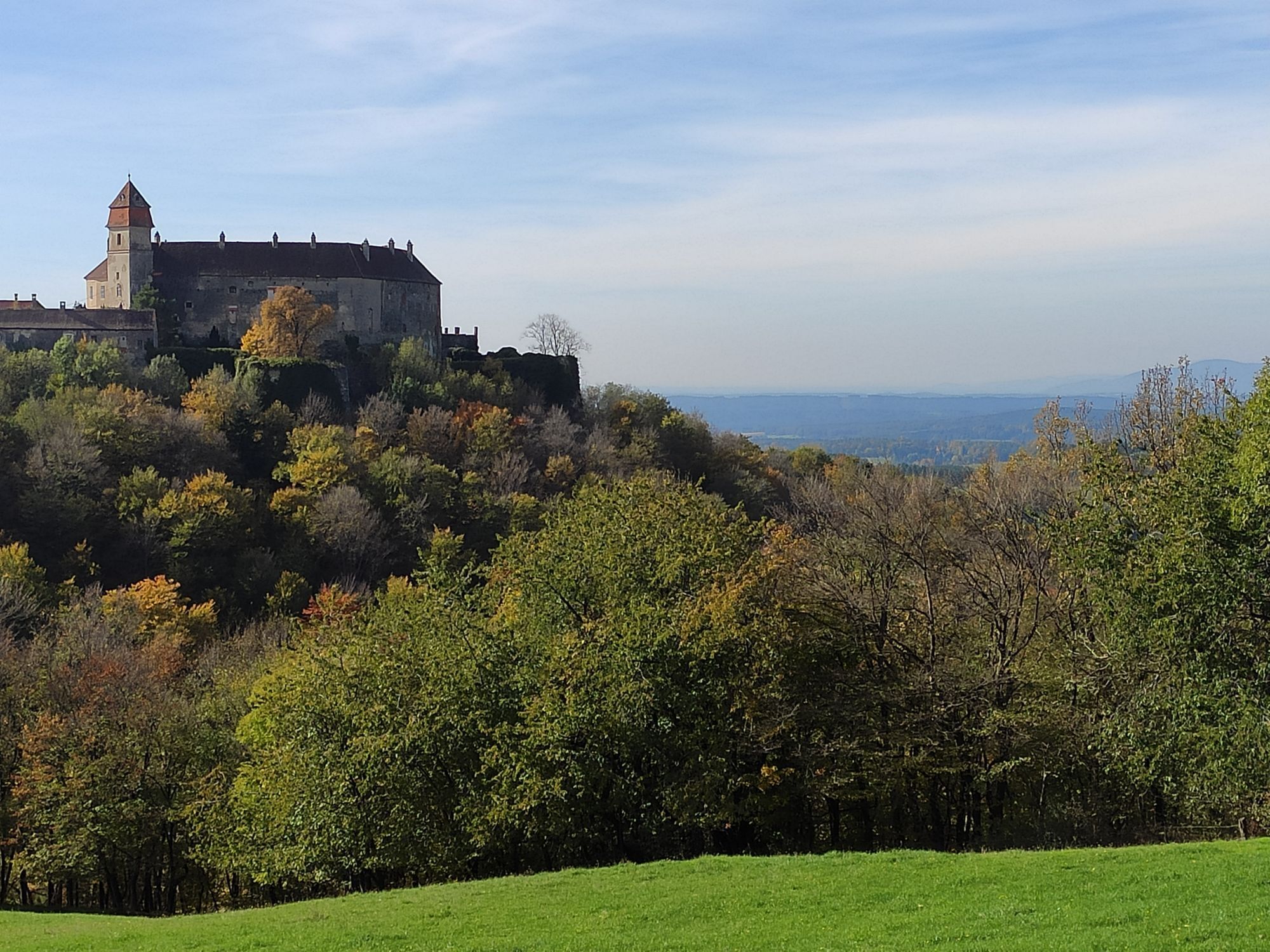
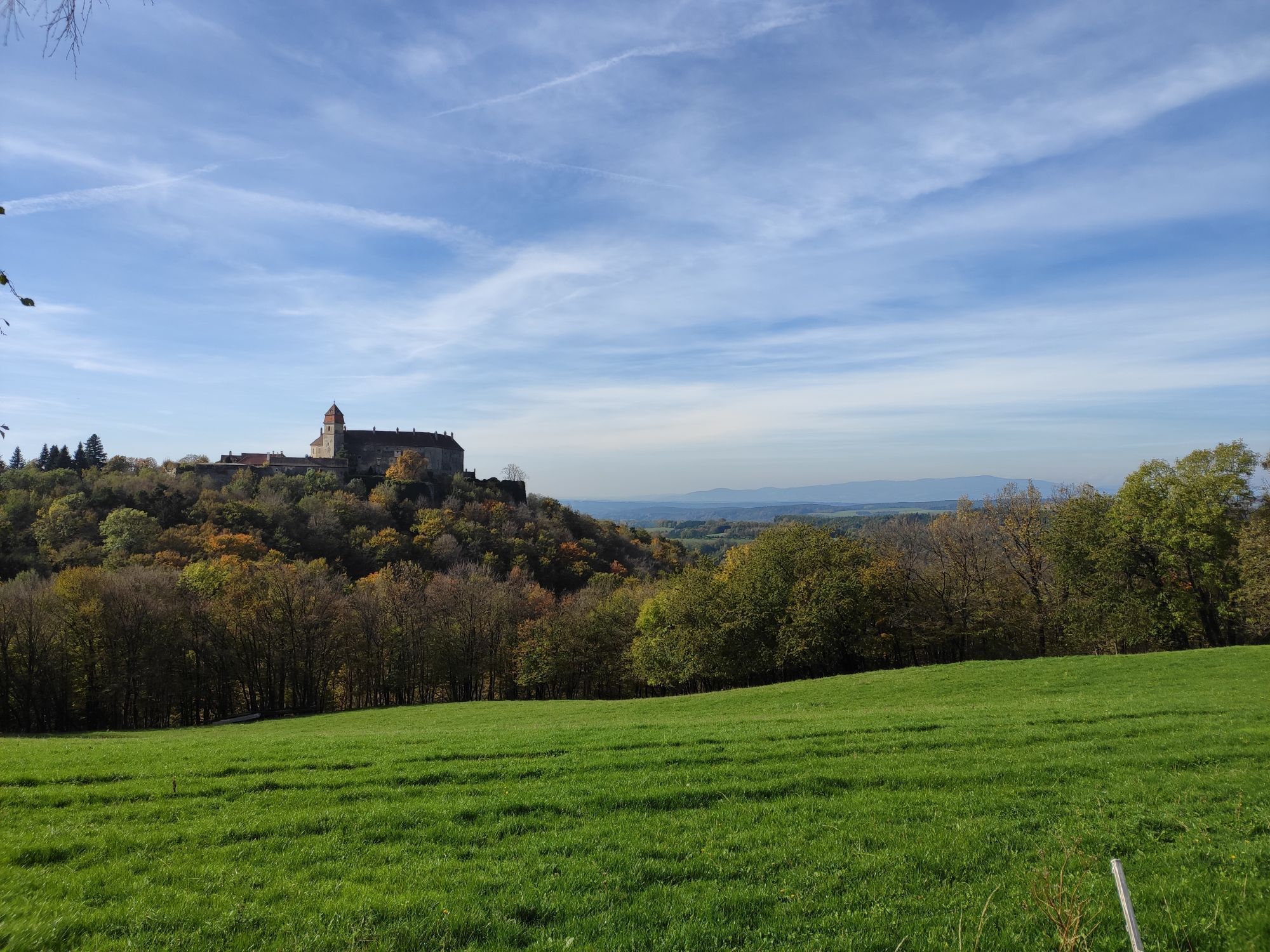
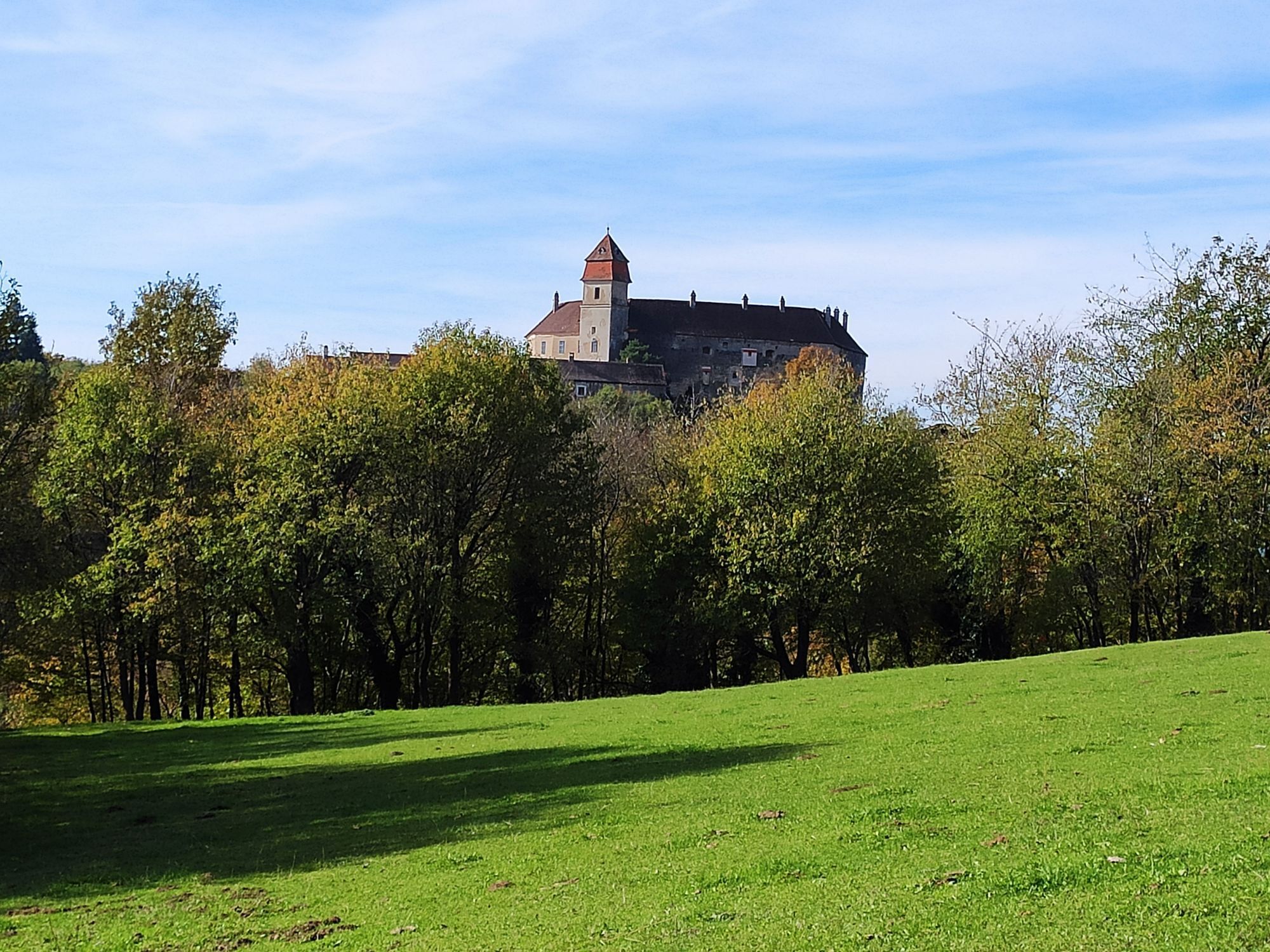
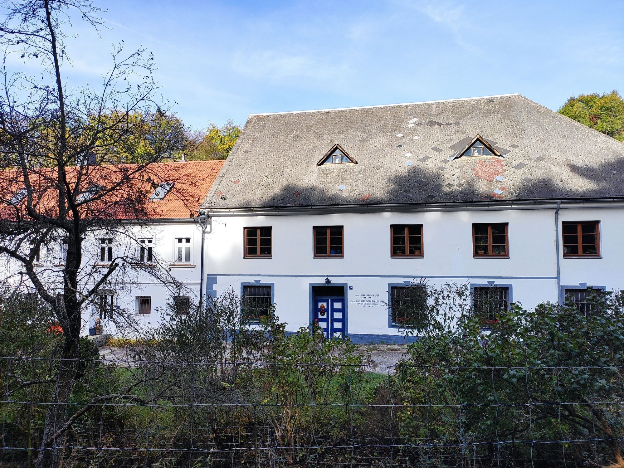
<p>From the Hutwisch car park over the Hutwisch (896m) with its popular viewing tower, you follow the hilltops to Kalteneck and to the newly built viewing platform (now affectionately called “Guglhupf”) near Redlschlag. Supported by well-marked panoramic maps, you can enjoy a panoramic view from Wechsel over Schneeberg, Bucklige Welt, Neusiedler See, Hungary to the Koralpe and Slovenia. Then you continue via a path to the Steinstückl and then along forest roads towards Bernstein. In Bernstein, be sure to inquire about the art of noble serpentine grinding or visit the Rock Museum.</p>


<p>Always carry suitable maps with you. Wear sturdy shoes appropriate to the route, take sun and rain protection as well as water and a snack. Take your mobile phone with you and save the mountain rescue emergency number: 140</p>
<p>Proper behaviour when encountering grazing animals:</p><p><a href="www.alpannonia.at/verhaltenstipps-fue... </p><p>Make sure when choosing the route that it matches your mountain experience and fitness level. Check the weather forecast beforehand. Weather in the mountains can change surprisingly fast. Therefore, always set off suitably equipped (e.g., rain protection). </p><p>Check if the huts and snack stations you want to visit along the way are open. Inform someone about your chosen route and your planned return before you start.</p><p>Cross-border hiking trail: Remember to take a passport or identity card with you!</p>
<p>Via A2 exit Krumbach - B55 - Hochneukirchen</p><p>Via A2 exit Pinggau/Friedberg - Schäffernsteg to Hochneukirchen</p>
<p>By train to Aspang/Markt, bus to Hochneukirchen</p><p>More info: <a href="www.wieneralpen.at/anreise">P... transport access to the Viennese Alps</a></p><p><a href="fahrplan.oebb.at">fahrplan.oe... <a href="www.vor.at">www.vor.at</a&...
<p>Parking available at the Hutwisch car park or in the town centre of Hochneukirchen</p>
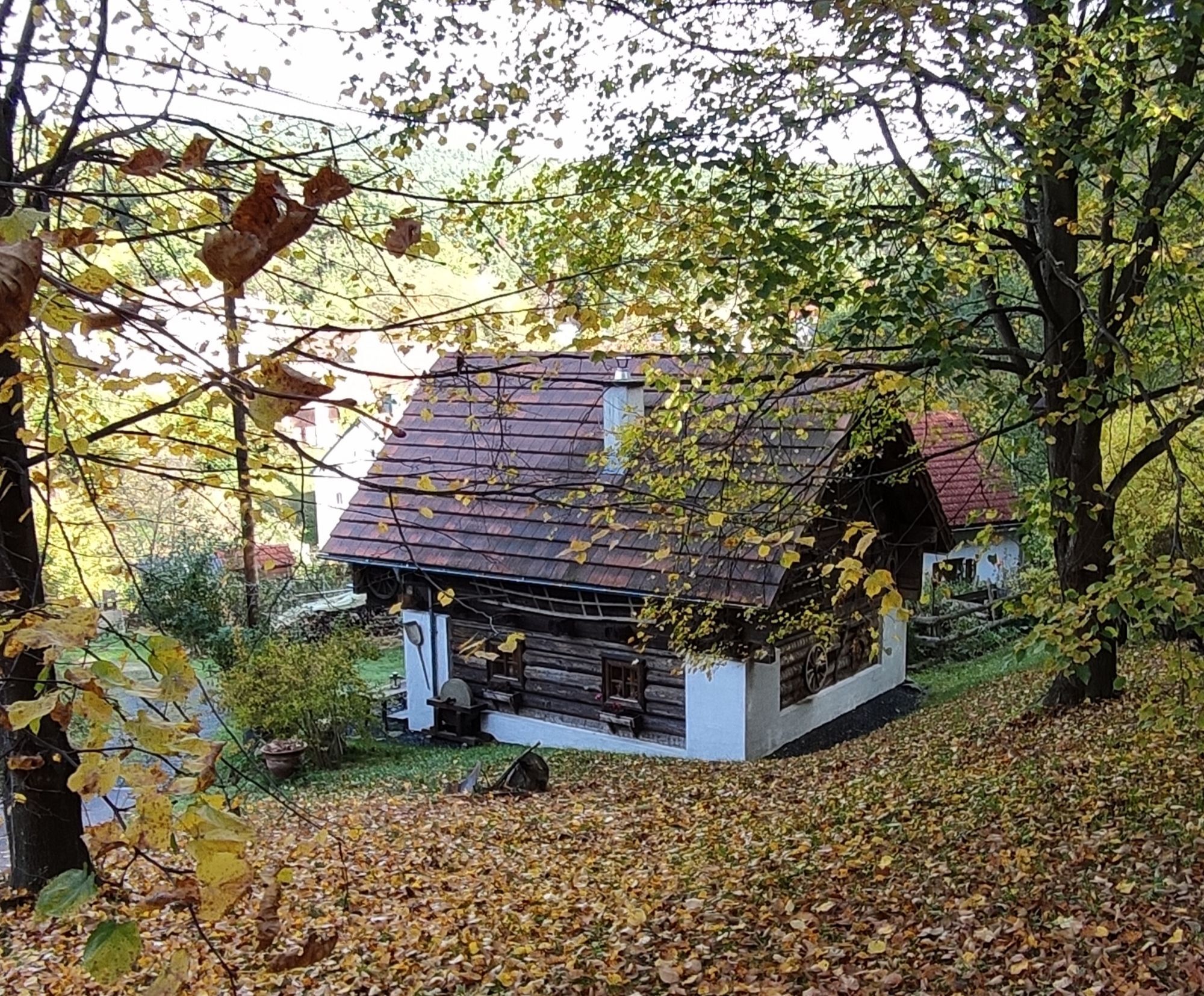
A visit to the Rock Museum or a noble serpentine grinding workshop in Bernstein is worthwhile!
Získejte přehled Vždy živě na místě s více než 9 500 webkamerami. bergfex Jako uživatel Pro si nyní můžete zobrazit odpovídající webové kamery pro mnoho prohlídek v aplikaci prohlídky z. Můžete si tak přímo prohlédnout aktuální podmínky. Oblíbené prohlídky v okolí
- 4.6
S21 Peace Circular Route
světloTuristika 11.4 km - 4.1
"Weg der Blicke"
světloTuristika 5.86 km - 4.4
Bad Schönau - Hutwisch
světloTuristika 9.99 km - 4.4
B53 Edelserpentin
středníJízda na kole 23.5 km - 4.8
Bakabu children's adventure trail to Hutwisch
středníTematická stezka 5.42 km - 4.3
Summit hiking route
heavyTuristika 20.6 km - 4.4
BAD-SCHÖNAU Hutwisch und wieder zurück 20220611
středníTuristika 10.8 km - 3.0
Günser Gebirge: Geschriebenstein
světloTuristika 7.61 km - 4.7
S24 Neustiftrunde
Turistika 9.22 km - 4.8
B41 Zöberntal-Rabnitztal cycle trail
středníJízda na kole 40.7 km
Pěší turistika a stopování


Nenechte si ujít nabídky a inspiraci pro vaši příští dovolenou
Vaše e-mailová adresa byl přidán do poštovního seznamu.





