







Retzbach Dowsing Rod Path cross-border
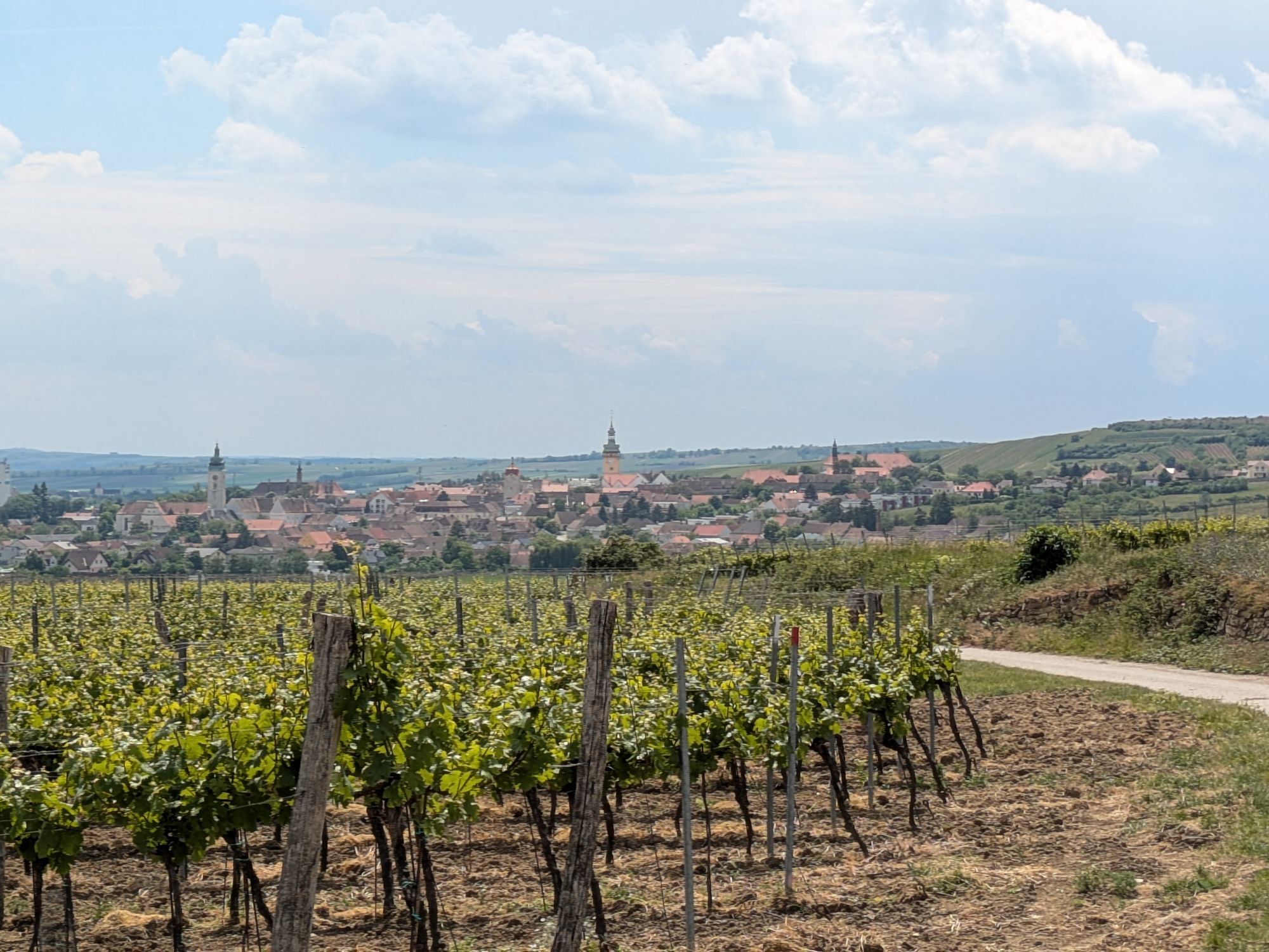
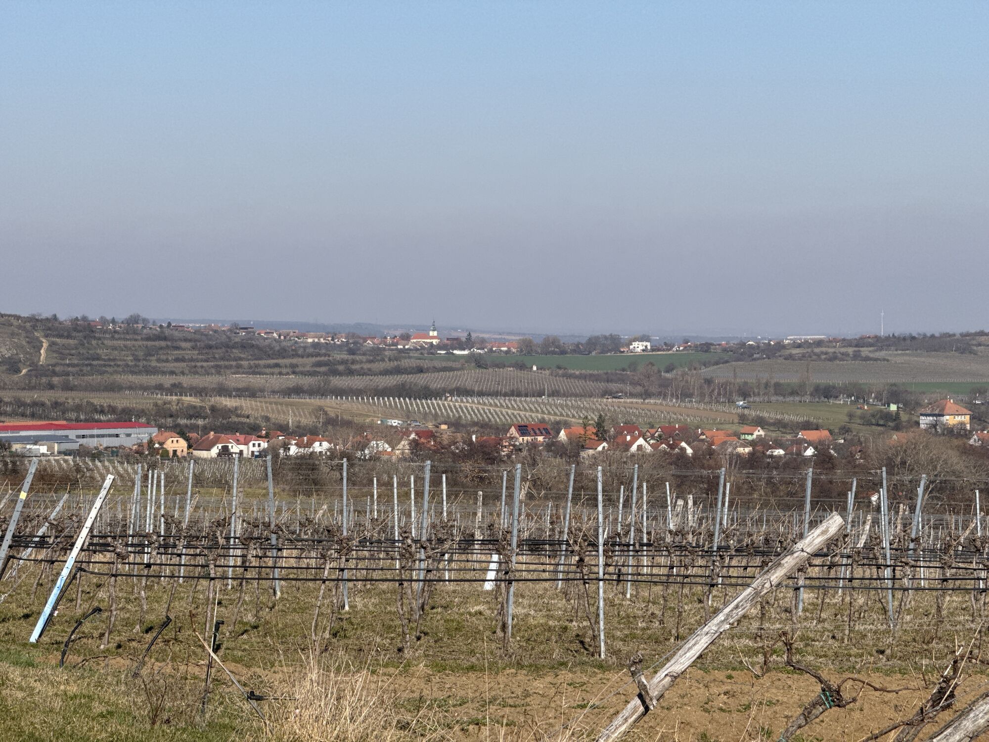
The circular route provides an overview of the conditions inside the earth around Retzbach.
The Retzbach dowsing rod path aims to give visitors and interested people an overview of the conditions inside...
<p>The circular route provides an overview of the conditions inside the earth around Retzbach.</p><p>The Retzbach dowsing rod path aims to give visitors and interested people an overview of the conditions inside the earth at ten stations. The behaviour of animals and plants is just as important as the use of the forces for humans. The route length is almost 20 km and can be explored by bike as well as on foot. A detailed script as well as dowsing rods are available from the accommodation providers in Retzbach or at the municipal office. At the "Kultensemble Heiliger Stein" there are guided tours with an introductory course on handling the dowsing rod for groups of 15 or more people. Registrations and information at: 02942/2513</p><p>Tip: The Angergärten in Unterretzbach</p><p>The green, fertile town centre in Unterretzbach – once a common pasture, today the site of one of Austria's most beautiful Angergärten, experienced along a show garden path. From the garden pavilion, visitors start into the green. Along the gardens, display panels provide details about the gardens, their owners, and their history. Small "natural pharmacies" offer unexpected insights into naturopathy and six experience stations invite entertaining engagement with botany and climate: how does the plant communicate with the soil? What can the tamarisk do?</p>

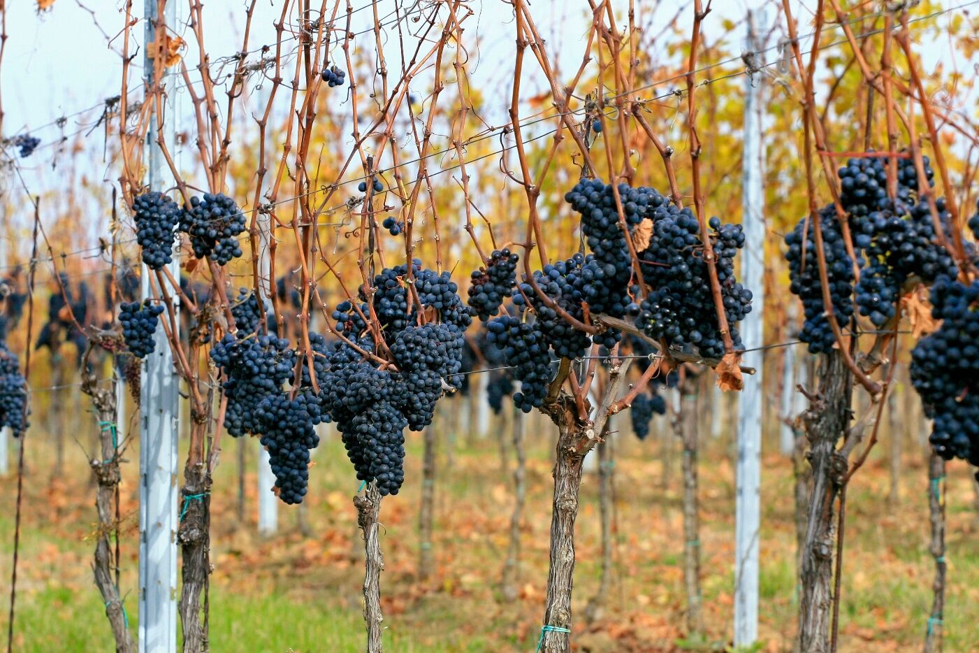
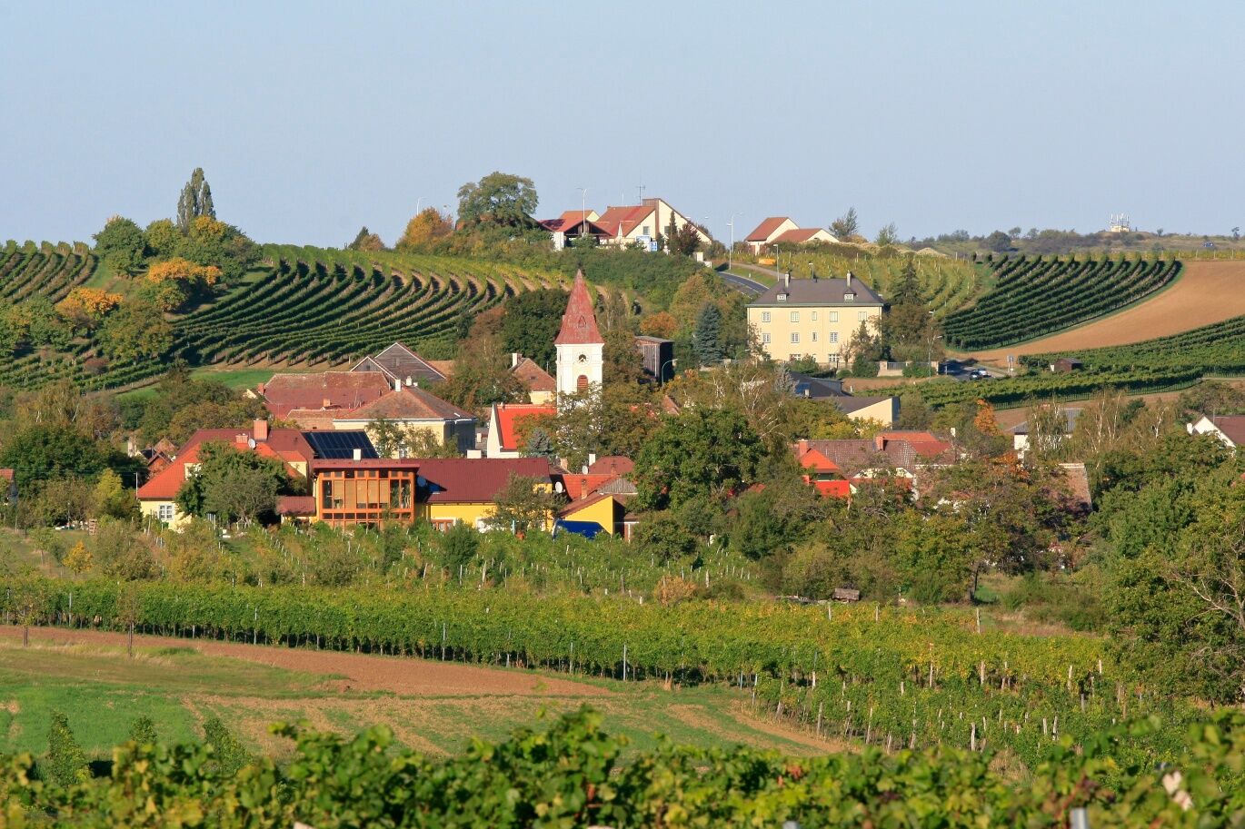
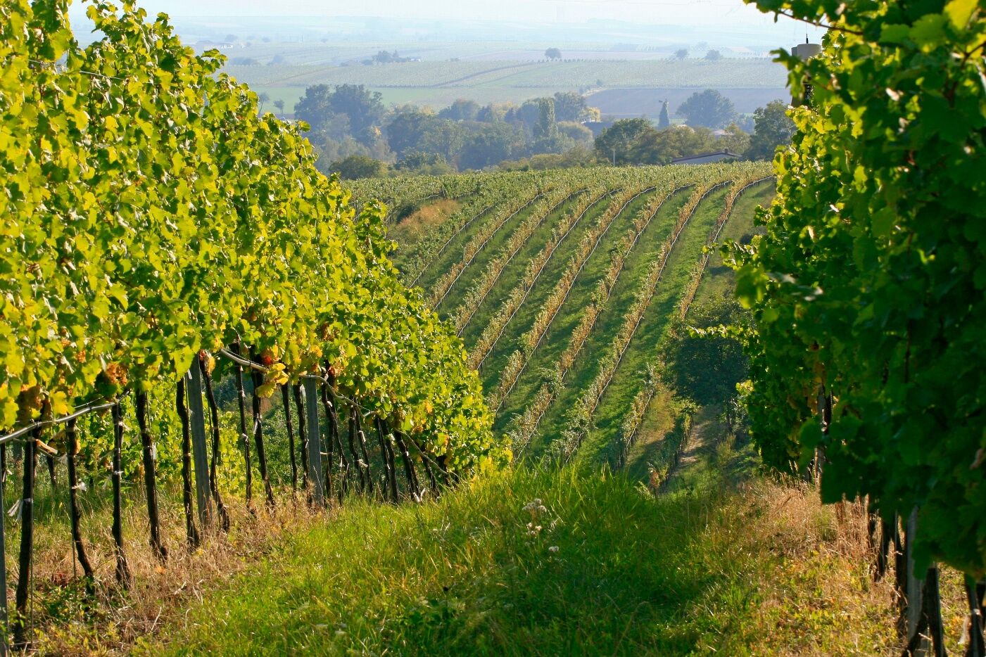
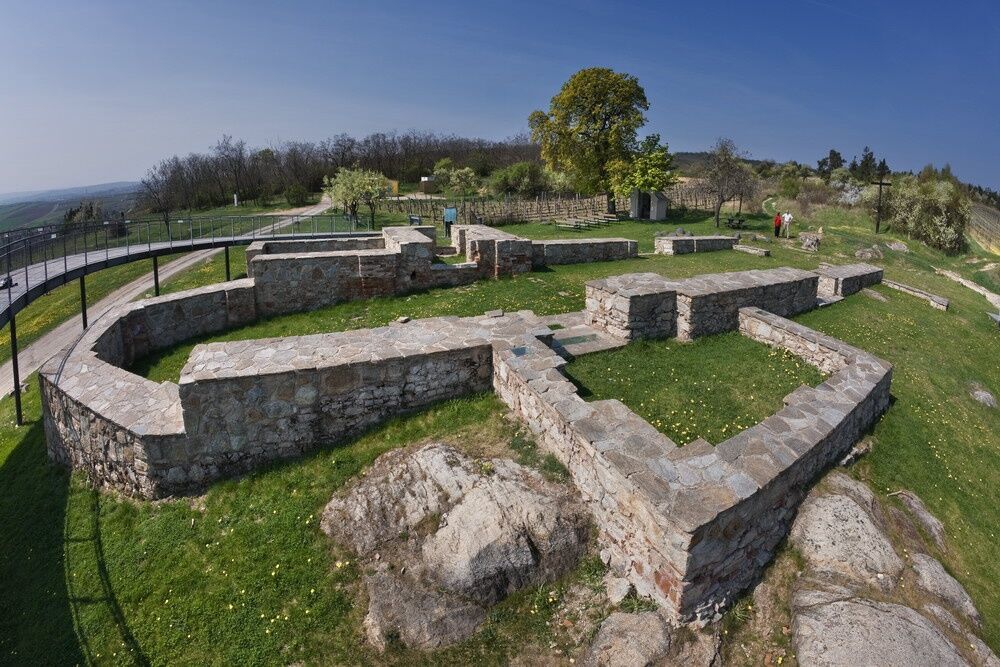
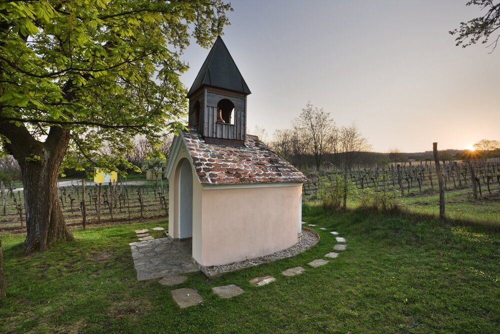

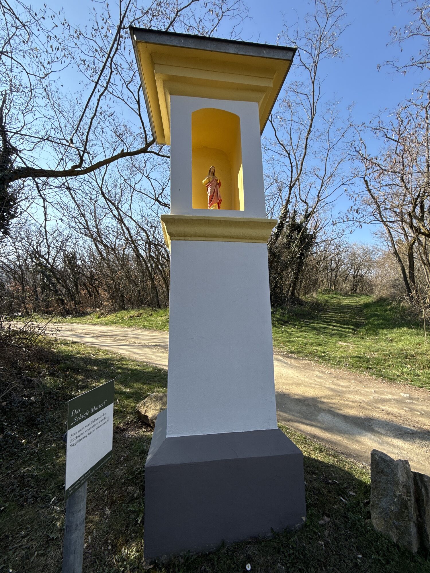
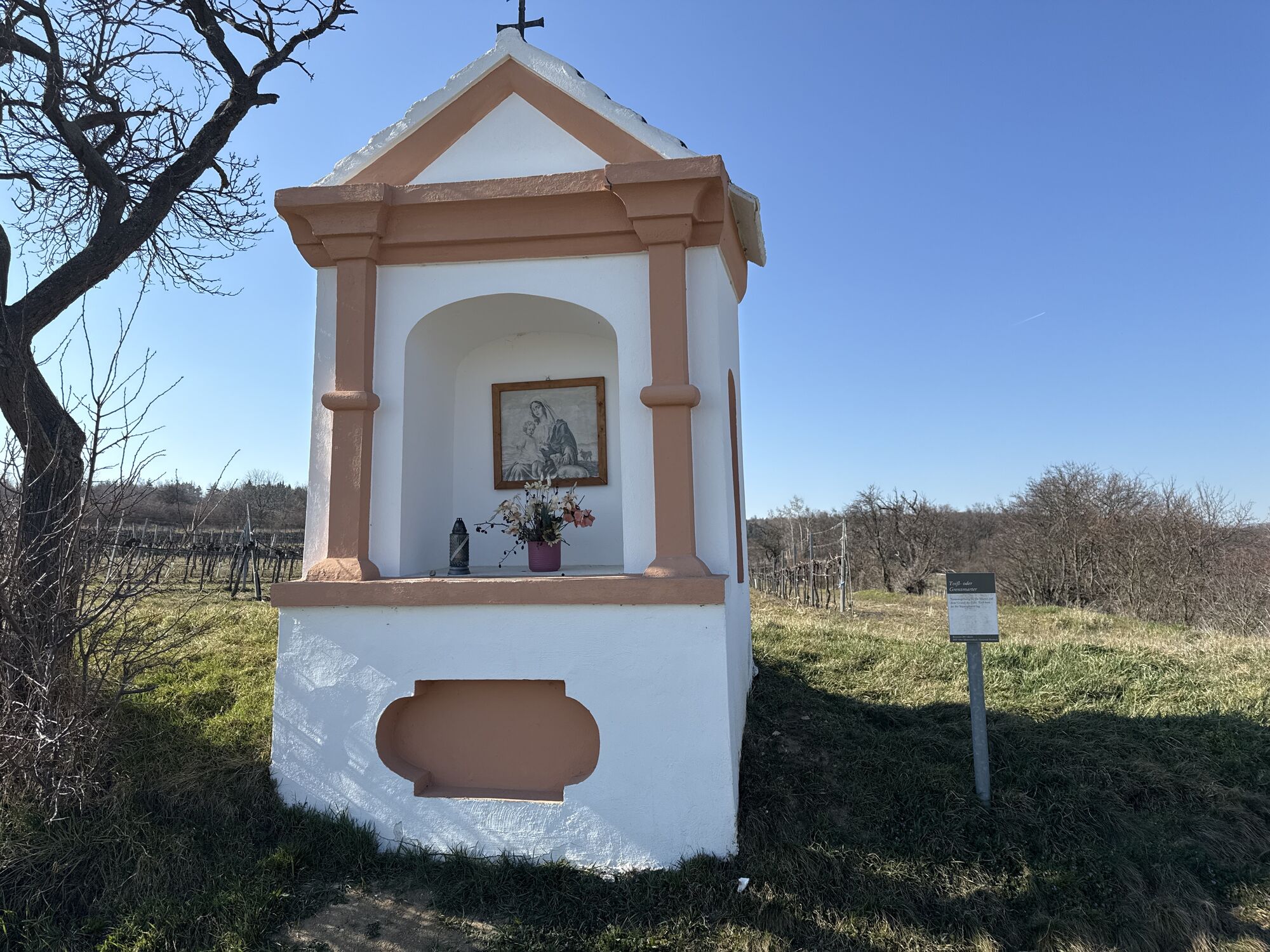
<p>Municipal office - vacation wayside shrine - historic milestone at the border - detour to Hnanice - Hl. Stein – Schönspiegel wayside shrine - stone spiral - Schussberg wayside shrine - detour to Retz – Spöteln - Unterretzbach</p>
<p>Bus or train to Unterretzbach</p>
<p>Unterretzbach, town centre</p>
www.retzbach.gv.at
A detailed script as well as dowsing rods are available from the accommodation providers in Retzbach or at the municipal office.
Získejte přehled
Vždy živě na místě s více než 9 500 webkamerami. bergfex Jako uživatel Pro si nyní můžete zobrazit odpovídající webové kamery pro mnoho prohlídek v aplikaci prohlídky z. Můžete si tak přímo prohlédnout aktuální podmínky.
Oblíbené prohlídky v okolí
-
4.5
DAC Radtour-Weinviertel
středníJízda na kole 55.1 km -
4.4
Rundwanderung Nationalpark THAYATAL
světloTuristika 14.0 km -
4.2
»tut gut« Wanderweg Pulkau | Route 2
středníTuristika 7.29 km -
5.0
Ruine Kaya - Thaya Aussichtspunkt
světloTuristika 6.82 km -
4.5
Kellergassenrundwanderweg
středníTuristika 8.69 km -
4.5
Ruine Kaya
středníTuristika 12.5 km -
5.0
Hardegger Warte
středníTuristika 5.60 km -
2.6
Chardonnay-Radtour
Jízda na kole 33.5 km -
4.7
Über NP Thaya zu historischen Städten / Etappe 2 Retz - Znaim
světloTuristika 17.2 km -
4.0
»tut gut« Wanderweg Pulkau | Route 3
středníTuristika 6.52 km
Pěší turistika a stopování


Nenechte si ujít nabídky a inspiraci pro vaši příští dovolenou
Vaše e-mailová adresa byl přidán do poštovního seznamu.





