



Oaks and owls

You start from Allentsteig along the Thaua stream (Kleine Thaya) through a wooded area towards Thaua – quarry. From there you follow an asphalt road, cross the Thaua stream and hike to the railway bridge,...
<p>You start from Allentsteig along the Thaua stream (Kleine Thaya) through a wooded area towards Thaua – quarry. From there you follow an asphalt road, cross the Thaua stream and hike to the railway bridge, where you leave the state road 65 and head towards Reinsbach (a scenically beautiful route). After Reinsbach, you reach the Heimkehrer Chapel and hike back to Allentsteig.</p>

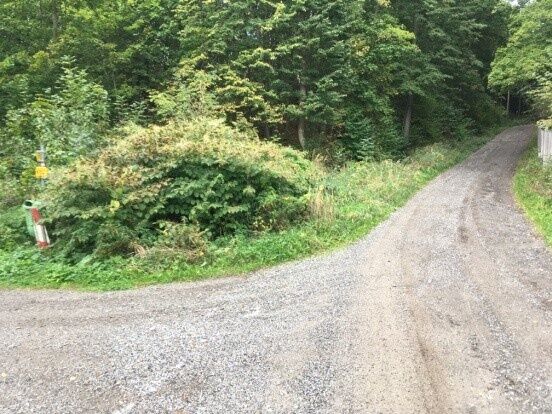
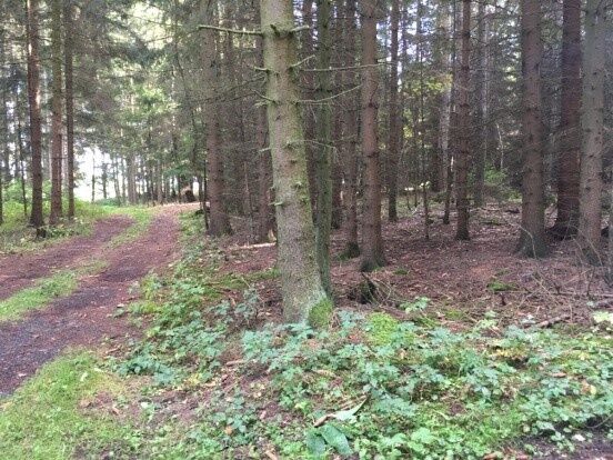
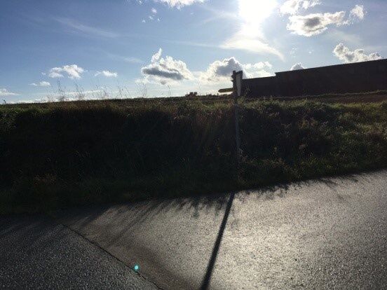
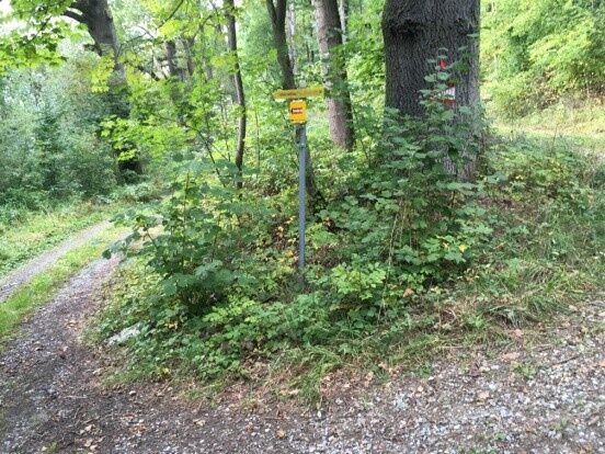
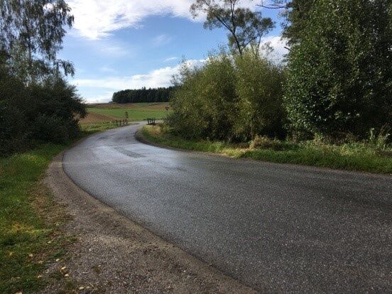

<p>You go from Brunnenplatzl in Allentsteig northwards along the Thaua stream (“Kleine Thaya”) through a wooded area towards Thaua to the quarry. From there, you follow an asphalt road, cross the Thaua stream and hike to the railway bridge. There you leave state road 65 and head towards Reinsbach – a scenically beautiful route. After the village of Reinsbach, you reach the Heimkehrer Chapel (also called Eggenhofer Chapel) and hike the last stretch on L56 back to Allentsteig.</p>
<p>Sturdy footwear, functional clothing, sun and rain protection, map material, telescopic poles if necessary, first aid kit (blister plasters), sufficient provisions (snack, muesli bars, fruit, water).</p>
<p>Make sure your chosen route matches your fitness level. Check if the restaurants you want to visit along the way are open. Pack your charged mobile phone and map material in your backpack. For cross-border tours, always carry a passport or ID card.</p>
<p>Vienna: A 22 - Stockerau - B4 to Horn - B2 to Brunn an der Wild - turn left onto B32 to Winkel, turn right onto L56 to Allentsteig</p><p>Linz: A 7 towards Freistadt - B 310 to Freistadt - B 38 to Karlstift, turn right there and drive to Zwettl - in Zwettl head towards Gmünd on B 36 - at Gerotten turn onto L 67 and drive to Allentsteig.</p>
<p>All information about all bus and train lines to the Waldviertel can be found at www.vor.at or www.oebb.at.</p>
Municipality of Allentsteig
Hauptstraße 23, 3804 Allentsteig
(T) +43 (0)2824 /23 10
(E) gemeinde@allentsteig.gv.at
(I) www.allentsteig.gv.at
Waldviertel Tourism
3910 Zwettl, Sparkassenplatz 1/2/2
(T) +43 (0)2822/541 09
(E) info@waldviertel.at
(I) www.waldviertel.at


Oblíbené prohlídky v okolí
-
4.2
Stausee Ottenstein
světloTuristika 5.13 km -
4.8
Ottenstein Stausee - Uferwanderung
světloTuristika 8.52 km -
4.5
Teiche-Radroute (Strecke 2020) Niederösterreich
středníJízda na kole 48.7 km -
4.0
Kampseerunde
Turistika 13.7 km -
3.7
Knödel-Landradweg
středníJízda na kole 42.6 km -
Dobrasee Strecke (Mountainbike Waldviertel)
Mountainbike 70.4 km -
5.0
Thayarunde Slavonice-Waidhofen-Göpfritz
středníJízda na kole 47.5 km -
4.7
Rastenfeld - Peygarten-Ottenstein - Gedächtniskapelle - Osang
středníTuristika 9.69 km -
4.5
ZWalk - Rastenfeld - Teichwanderweg mit Greifvögeln
světloTuristika 4.94 km -
4.0
Teichrunde Schloss Waldreichs und Schlenkerer zum Kamp
světloTuristika 7.42 km
Pěší turistika a stopování


Nenechte si ujít nabídky a inspiraci pro vaši příští dovolenou
Vaše e-mailová adresa byl přidán do poštovního seznamu.


