


Bernhardiweg - Stage 4: Großotten - Etzen
Fotografie našich uživatelů
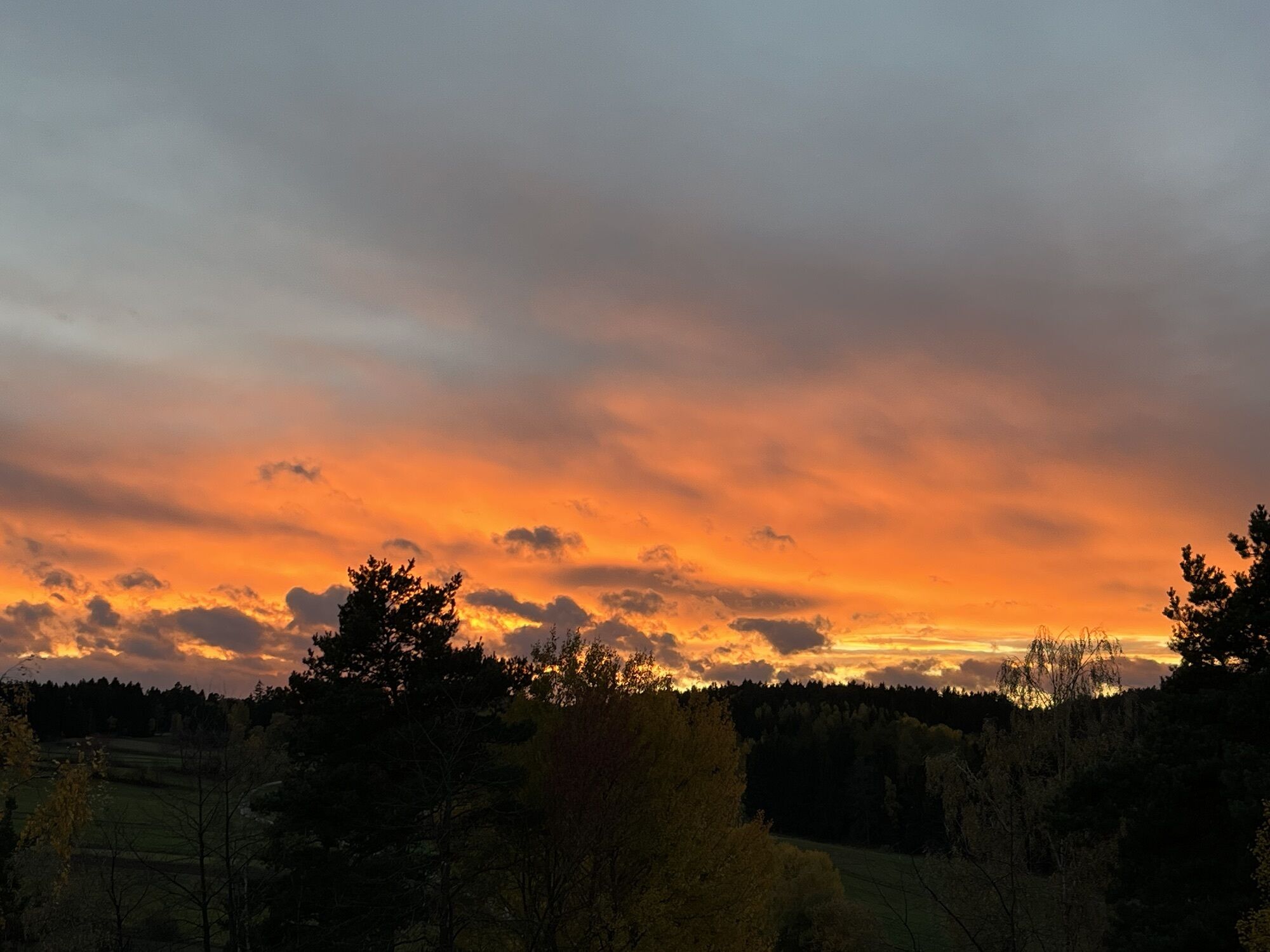
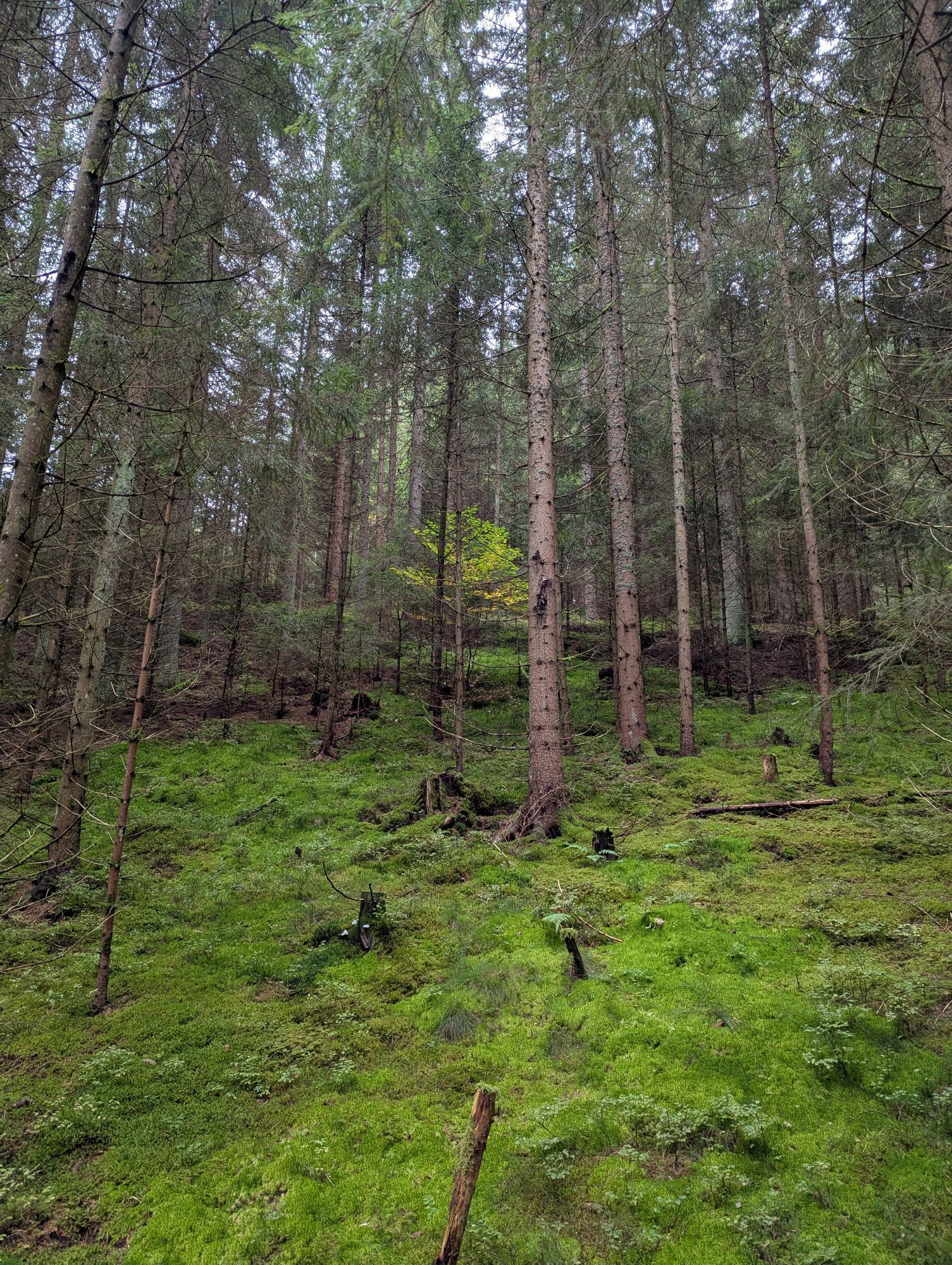
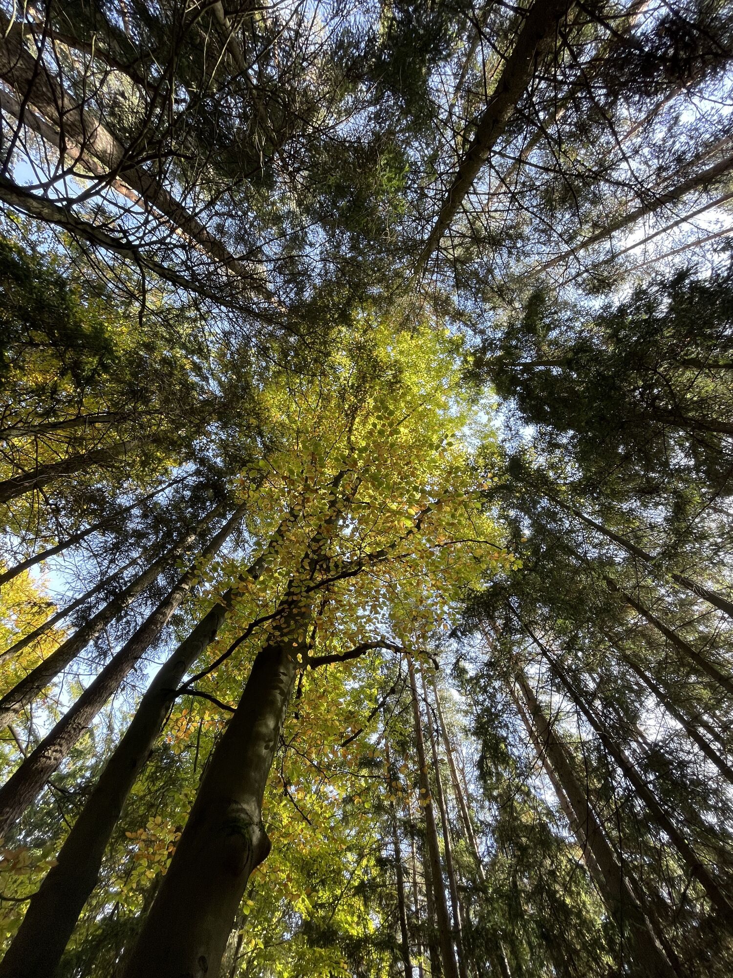
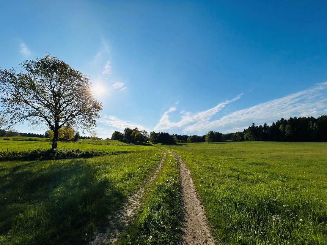
The Bernhardiweg is a pilgrimage route in the Waldviertel, Lower Austria, named after Saint Bernard of Clairvaux. It connects several historical and spiritual sites and invites you to discover the rich...
<p>The Bernhardiweg is a pilgrimage route in the Waldviertel, Lower Austria, named after Saint Bernard of Clairvaux. It connects several historical and spiritual sites and invites you to discover the rich history and the scenic beauty of the region.</p>

<p><strong>Großotten - Wurmbrand</strong><br >The exact route description from Großotten to Wurmbrand can be found here: https:/www.zwalk.at/bernhardiweg-grossschoenau-wurmbrand/ </p><p><strong>Wurmbrand - Groß Gerungs</strong><br >The exact route description from Wurmbrand to Groß Gerungs can be found here: https:/www.zwalk.at/bernhardiweg-wurmbrand-gross-gerungs/ </p><p><strong>Groß Gerungs - Etzen </strong><br >The exact route description from Groß Gerungs to Etzen can be found here: https:/www.zwalk.at/bernhardiweg-gross-gerungs-etzen/ </p>
<p>Sturdy footwear, functional clothing, sun and rain protection, maps, if necessary telescopic poles, first aid kit (blister plasters), sufficient provisions (snack, muesli bars, fruit, water).</p>
<p>Make sure when choosing your route that it fits your fitness level. Check whether the gastronomy businesses you want to visit along the way are open. Pack your charged mobile phone and maps in your backpack.</p>
<p>Find the best and fastest way to the starting point of the route using the route planner: www.google.at/maps </p>
<p>All information about all bus and train lines to the Waldviertel can be found at <a href="www.vor.at">www.vor.at</a> or at <a href="www.oebb.at">www.oebb.at</... </p>
Waldviertel Tourism
3910 Zwettl, Sparkassenplatz 1/2/2
(T) +43 2822 54109
(E) info@waldviertel.at
Oblíbené prohlídky v okolí
-
3.8
Wandern im Liebenauer Moor
světloTuristika 4.16 km -
4.2
TiWaLi Kamptal-Weißenbach-Runde
světloTuristika 10.6 km -
4.3
Teddybear Trail Lohnbachfall
světloTematická stezka 4.41 km -
4.6
Rappottenstein
světloTuristika 10.1 km -
4.0
Naturparkweg Bad Großpertholz
světloTuristika 7.17 km -
5.0
Kampschlucht u. Torbogen
světloTuristika 14.8 km -
Weltkugel-Wanderweg Nr. 31
středníTuristika 19.5 km -
5.0
Waldviertel Mitte [02] Hundertwasser-Tour mit Aubergwarte
světloE-MTB 32.8 km -
4.0
Nordwaldstrecke
Mountainbike 25.1 km -
5.0
Liebenau Nr. 31 Kampursprung
světloTuristika 10.3 km

Pěší turistika a stopování


Nenechte si ujít nabídky a inspiraci pro vaši příští dovolenou
Vaše e-mailová adresa byl přidán do poštovního seznamu.