






Rundwanderweg Kapelln
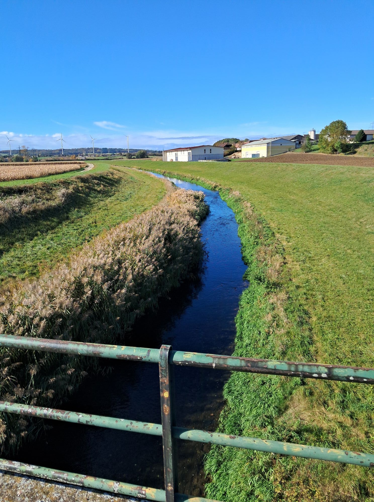
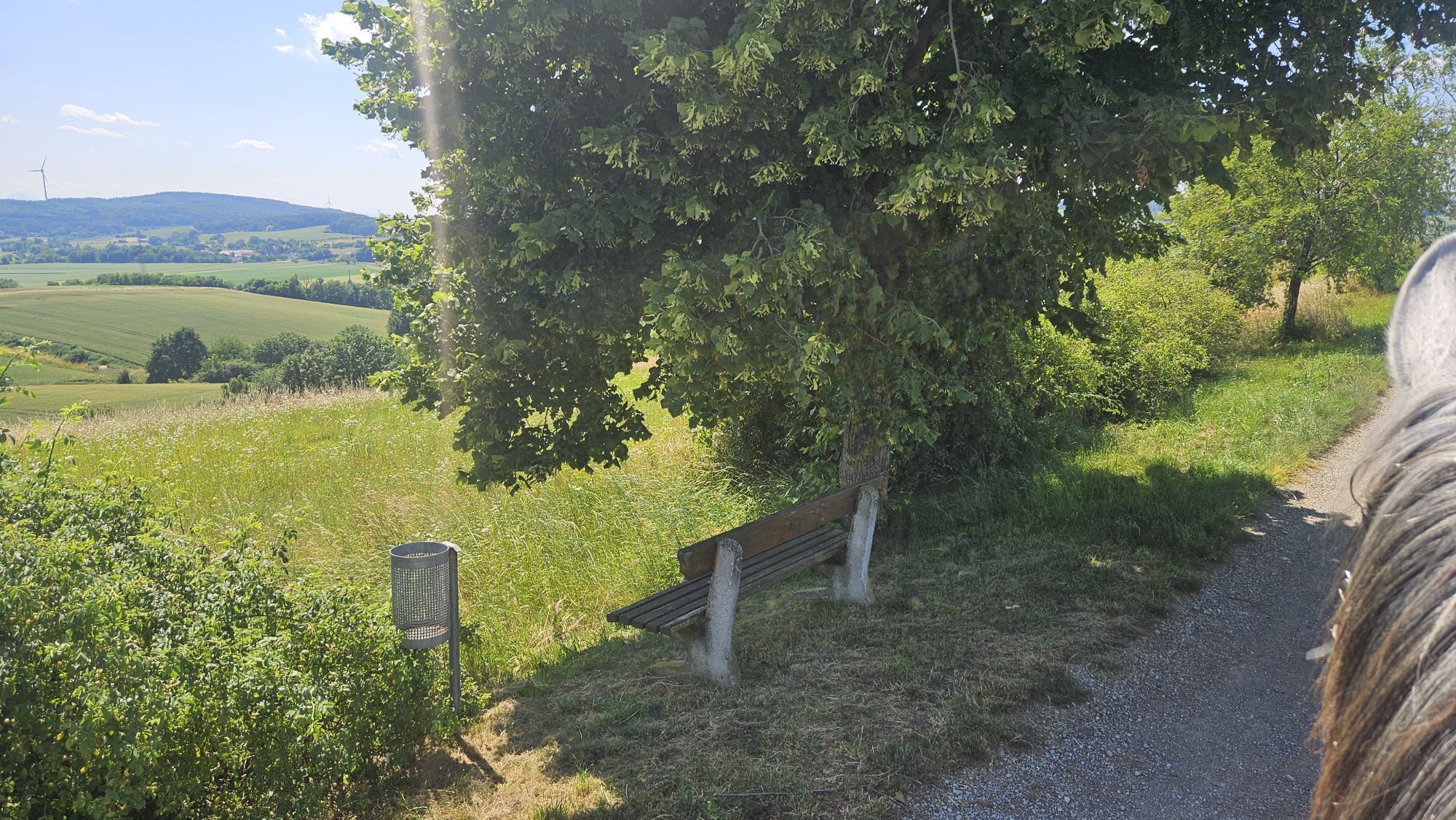
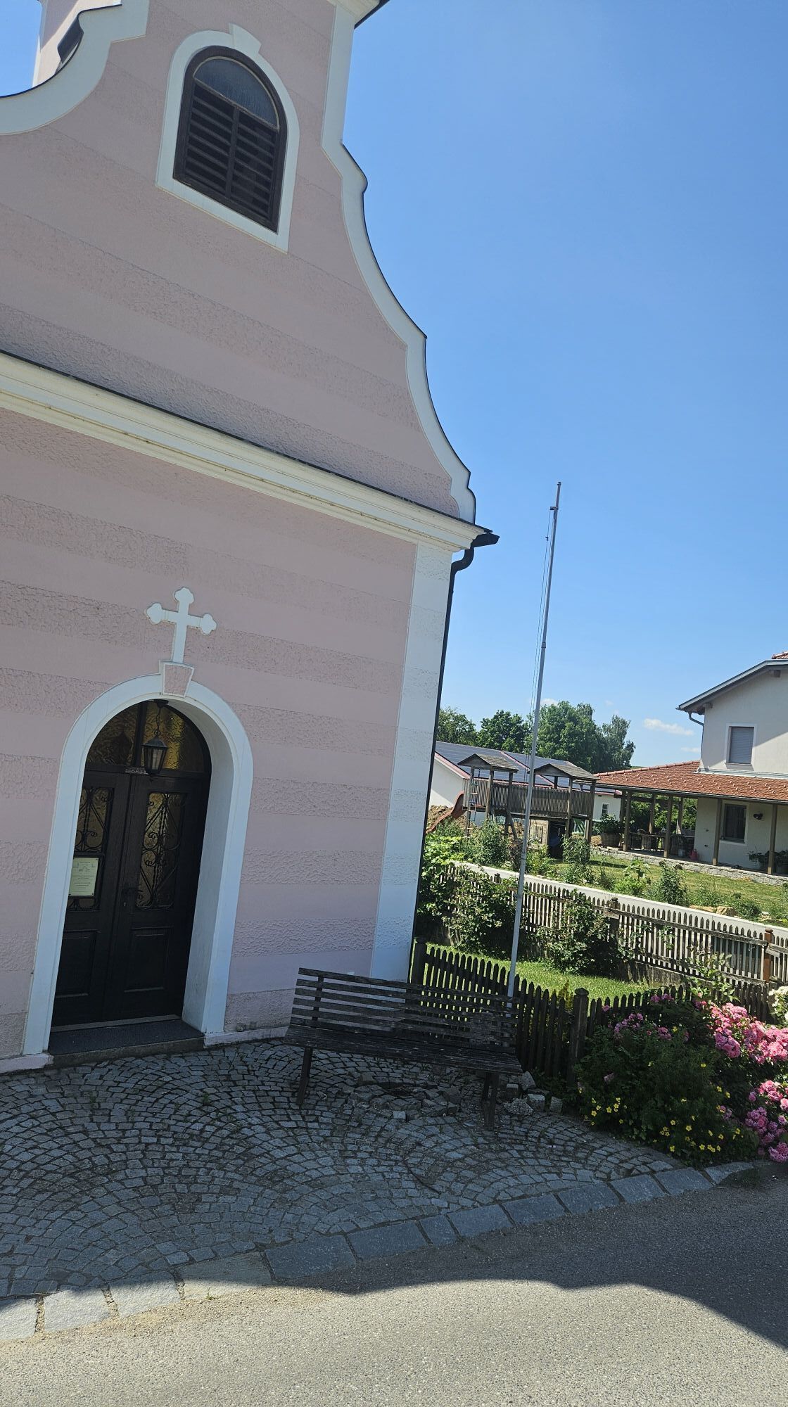
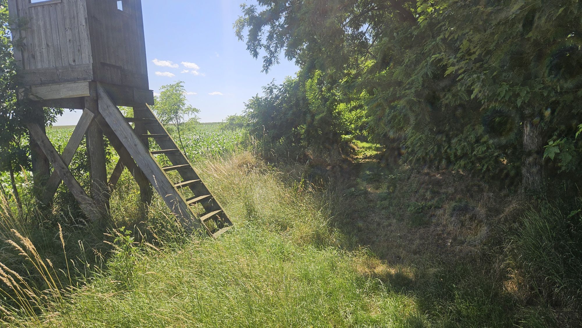
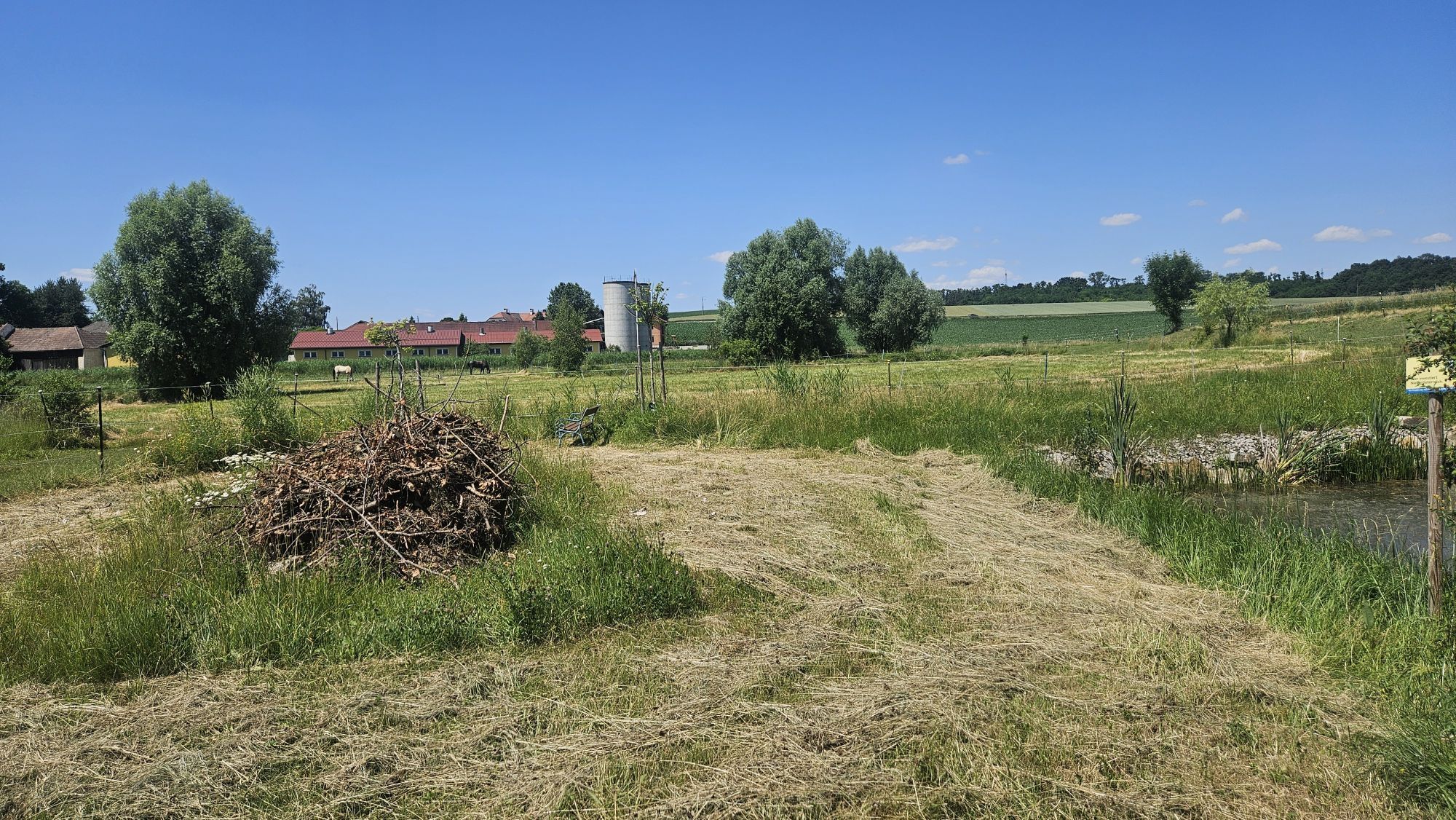
Tato túra nás zavede do okolí obce Kapelln. Půjdeme podél potoka Petronilla do Etzersdorfu a dále do Killingu. V Katzenbergu navštívíme nejstarší kostel na území farnosti a poté se vydáme na túru do kopce...
Tato túra nás zavede do okolí obce Kapelln. Půjdeme podél potoka Petronilla do Etzersdorfu a dále do Killingu. V Katzenbergu navštívíme nejstarší kostel na území farnosti a poté se vydáme na túru do kopce na místní horu. Projdeme také kolem hradu Thalheim, takzvaného "Stierschweif" a "Andreas Friedenswarte".

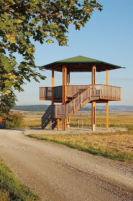

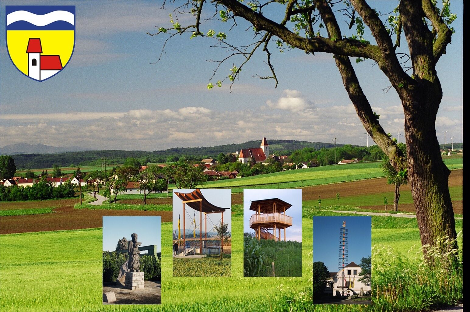
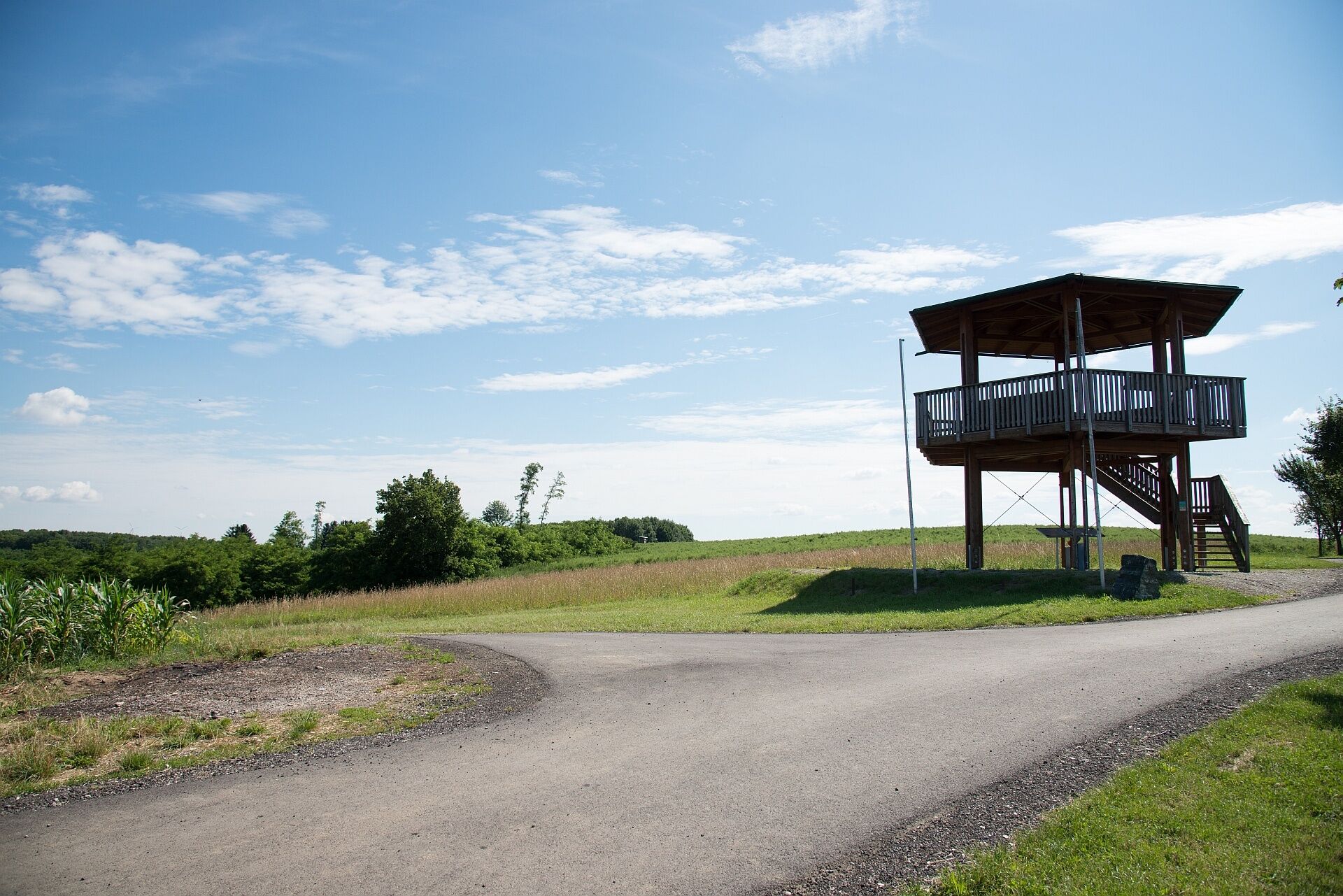

From the starting point at the parish church, the path leads along the Petronilla stream to Etzersdorf, crosses the state road towards Gutenbrunner Forest. Here, the circular hiking route also crosses the Jakobsweg. It continues eastwards to Killing. Following the Perschling river upstream to Katzenberg, where you will find the oldest church in the parish area. Here you cross the federal road and follow an asphalted field path uphill to the local mountain and follow the direction arrows along the edge of the forest to a meadow at Rassing. It continues to the village road to Obermiesting and via a meadow path to Thalheim, where you can enjoy a magnificent view of the newly renovated Thalheim Castle. Following the arrows, you reach the edge of the forest to Pönning and along the Rapolten stream to the village of Rapoltendorf. An asphalted field path leads to the “Stierschweif”. After the “Andreas Friedenswarte”, it goes towards Rassing. Along the left bank of the Perschling, a meadow path leads to the sports facility Kapelln. From here, it goes back towards Church Square at the starting point.
Comfortable hiking clothing and shoes.
Coming from the A1, keep right at the St. Pölten junction and continue towards Krems/St. Pölten-East. Stay on the S33 for 5 kilometers and then turn onto the B1 (Pottenbrunner Main Road). Follow this road to Kapelln.
From St. Pölten, take bus 1522 towards Traismauer Post Office and change in Herzogenburg Roseggerring to bus line 547 towards Sieghartskirchen Volksschule.
Parking available in the town center of Kapelln.
Person responsible for the content of this tour
Mostviertel
Last updated: 23.10.2025
Oblíbené prohlídky v okolí
-
4.4
Hegerberg
světloTuristika 8.06 km -
4.8
Übers "Loamstückl" zur Wetterkreuzkirche
světloTuristika 6.83 km -
4.8
Circular hike to Buchberg lookout
světloTuristika 9.24 km -
4.2
Drei-Seen-Runde St. Pölten
světloTuristika 5.02 km -
5.0
Laabental - Radweg
světloJízda na kole 15.7 km -
4.9
Traisental MTB Potpourri
středníMountainbike 27.9 km -
4.3
Über Sitzenberg-Reidling: Seelacke-Korkenzieher-Weinberge
středníTuristika 11.1 km -
4.3
Wagramer Genussmix
světloTuristika 10.1 km -
Rundwanderung über den Paudorfer Skulpturenweg
světloTuristika 5.47 km -
5.0
Kremser Rieden- und Wanderkarte - Wanderung 22: Weinriedenwanderung Hollenburg
středníTuristika 6.74 km
Pěší turistika a stopování


Nenechte si ujít nabídky a inspiraci pro vaši příští dovolenou
Vaše e-mailová adresa byl přidán do poštovního seznamu.





