







Grottenweg Böheimkirchen

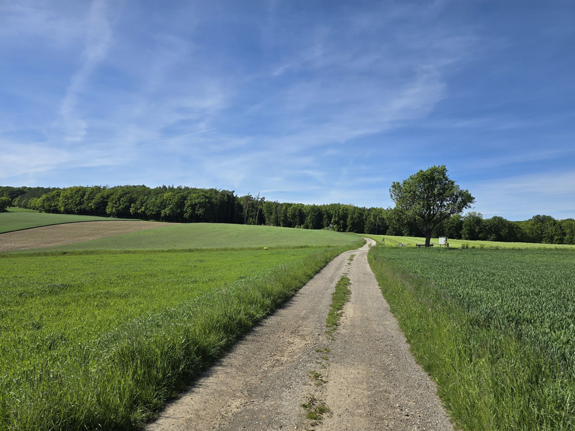
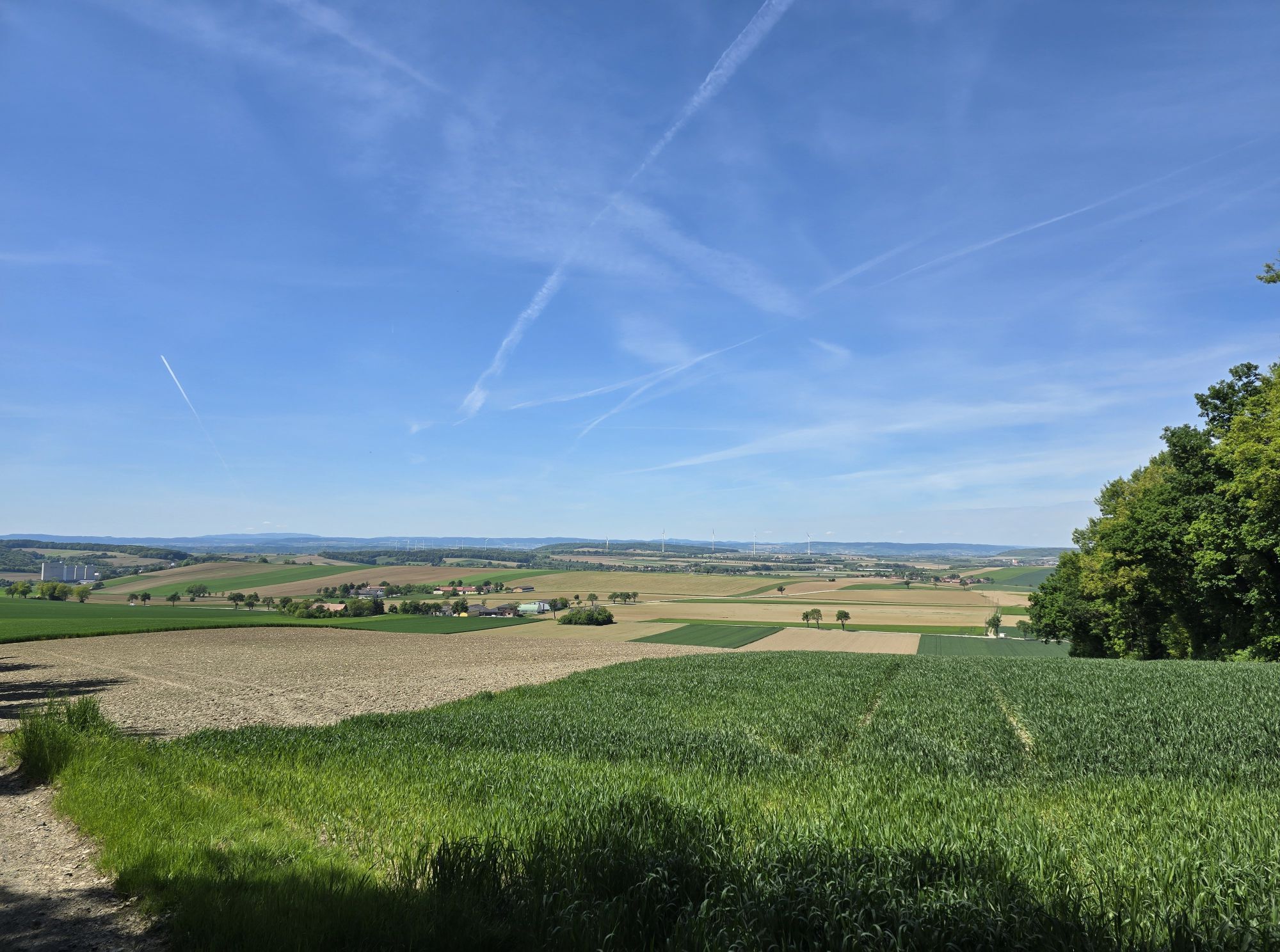
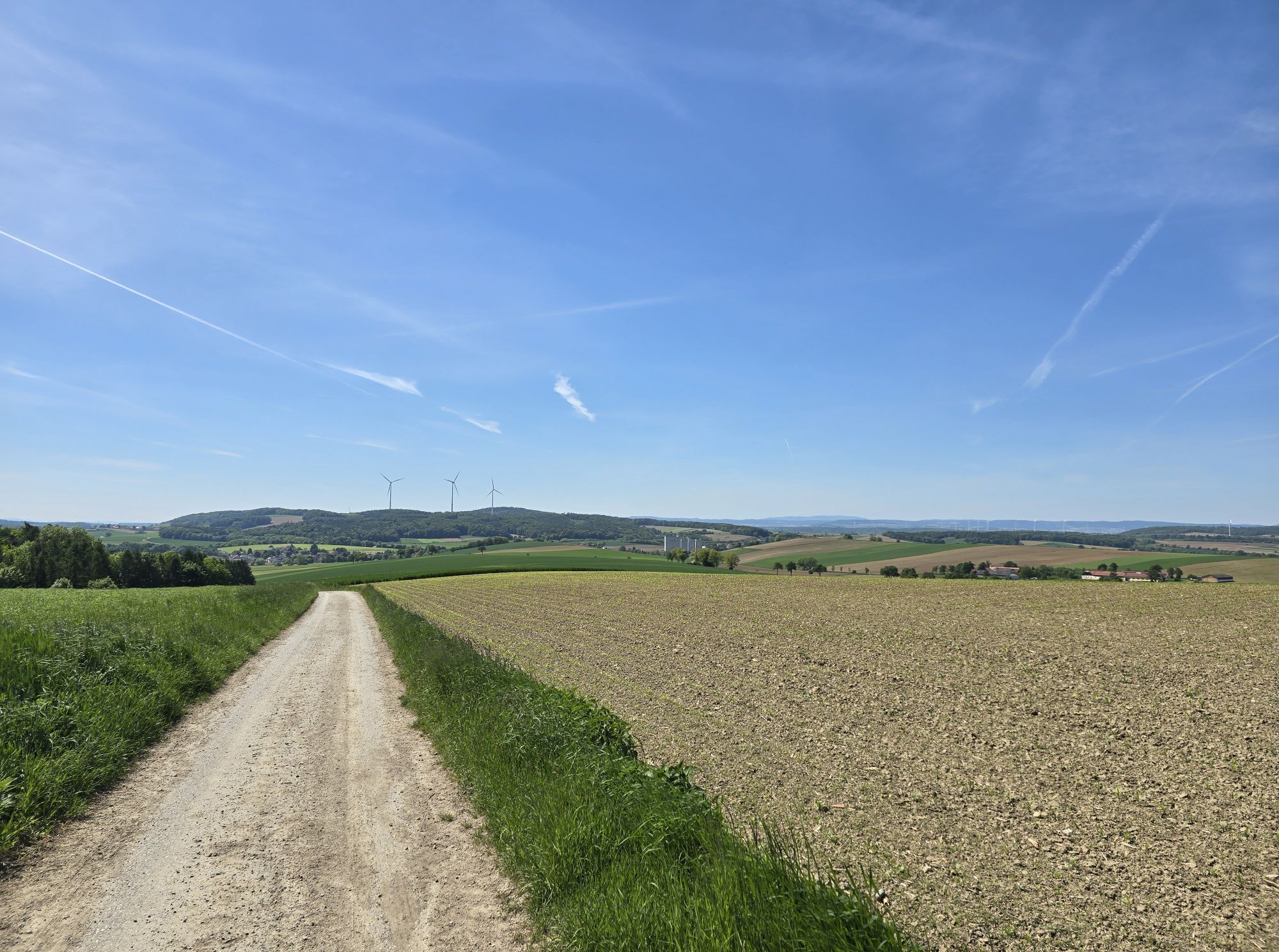
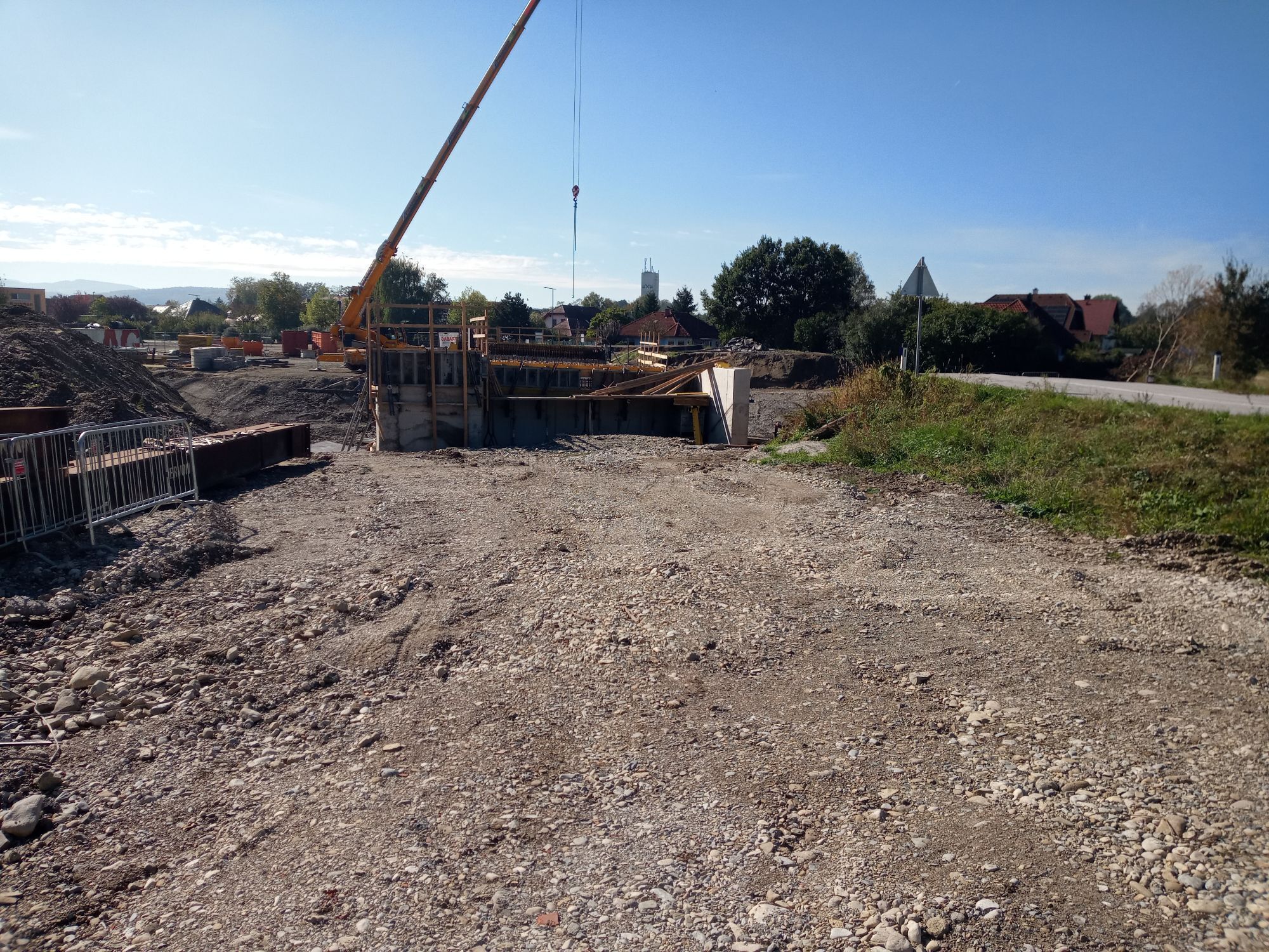
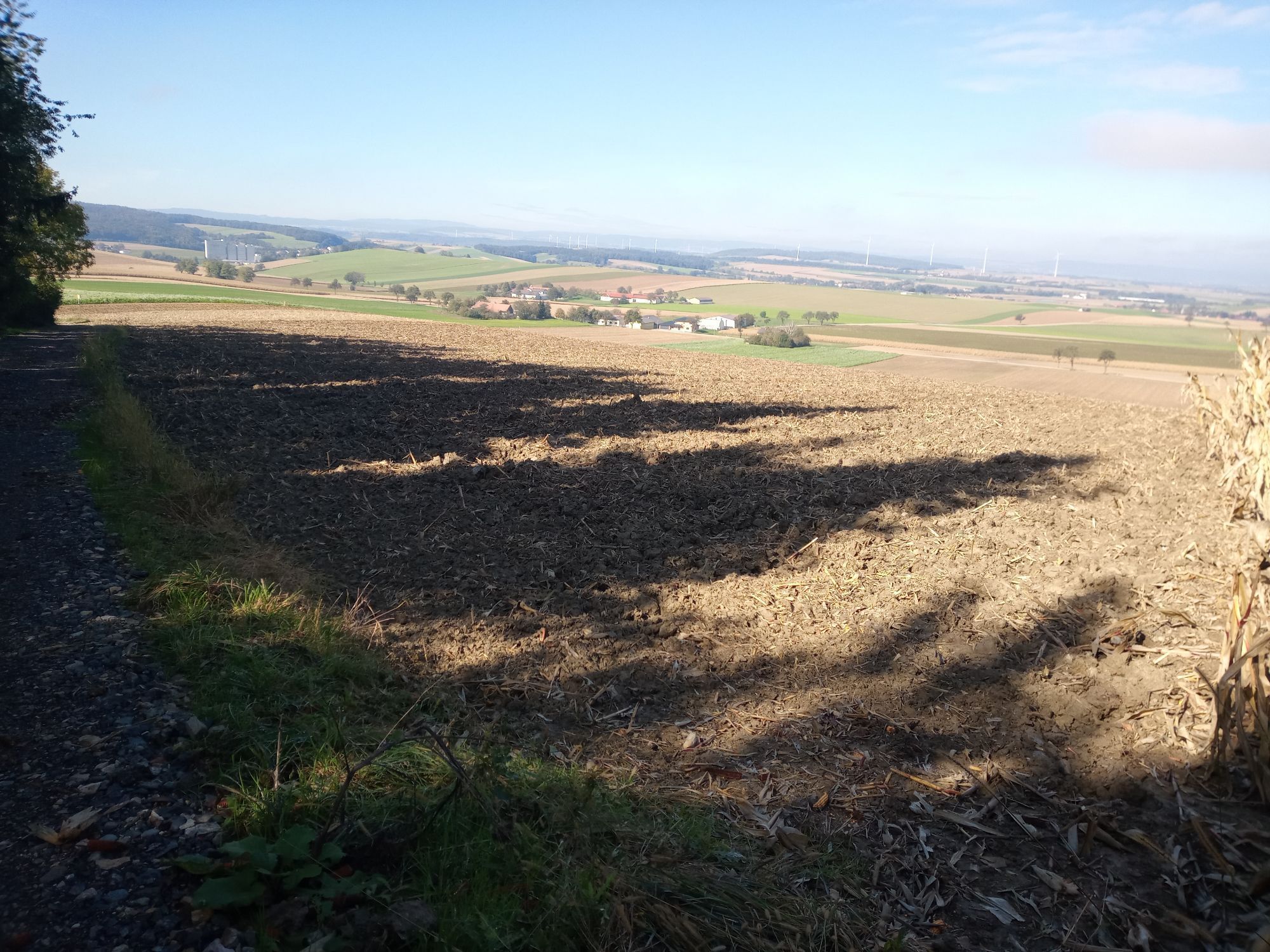
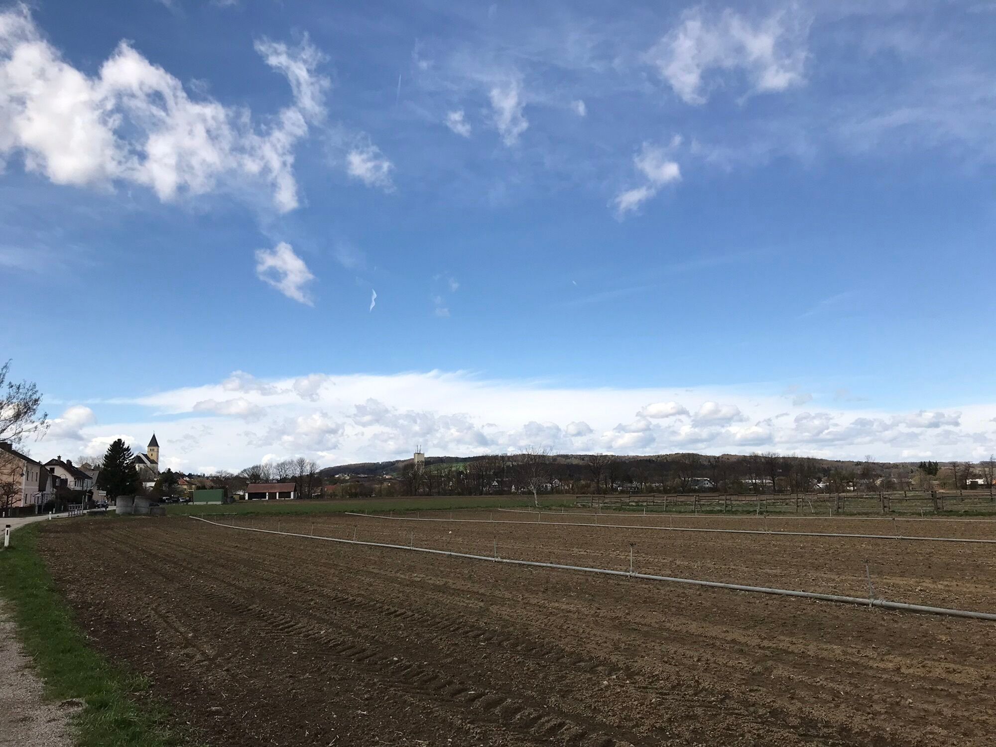
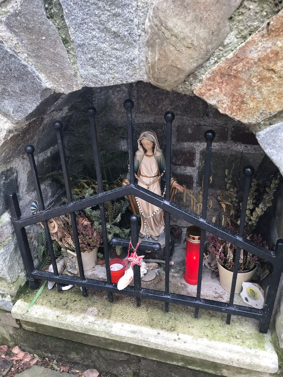
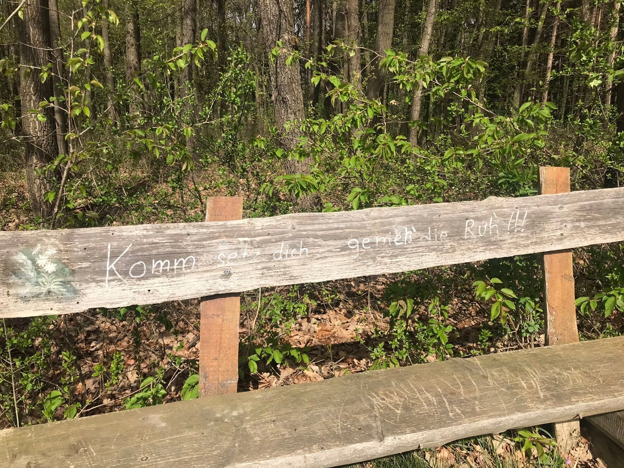
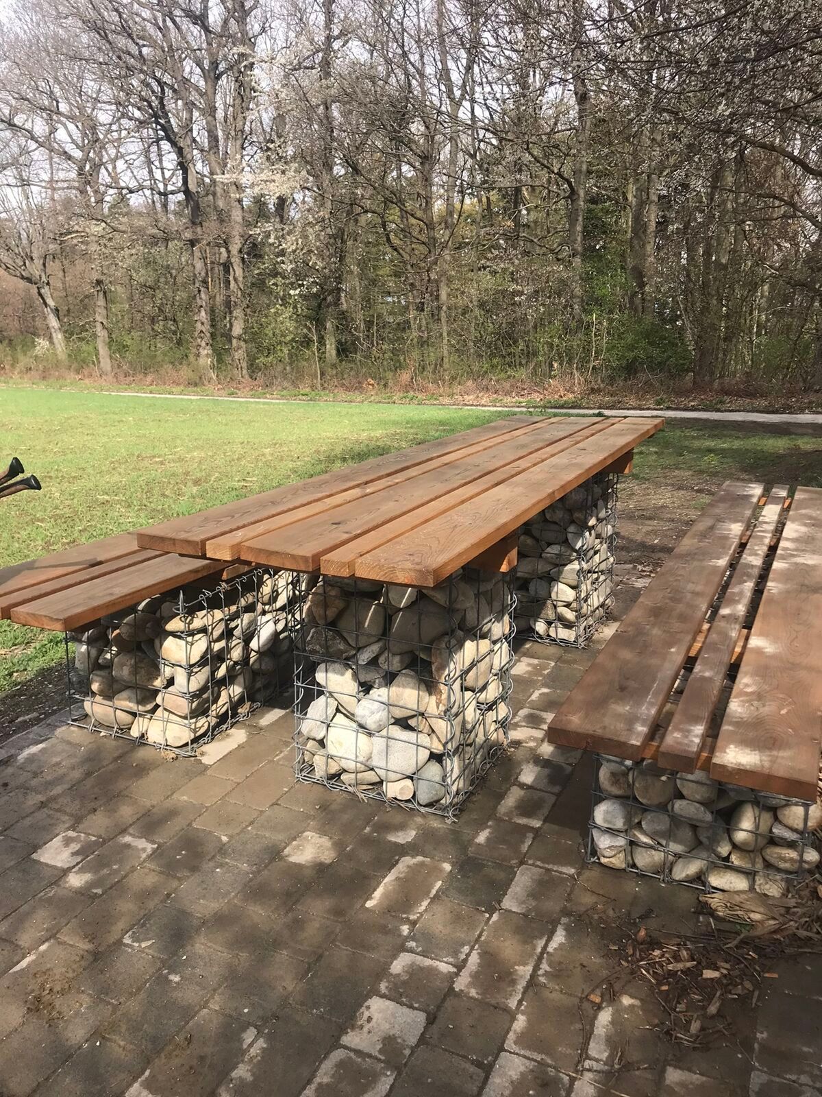
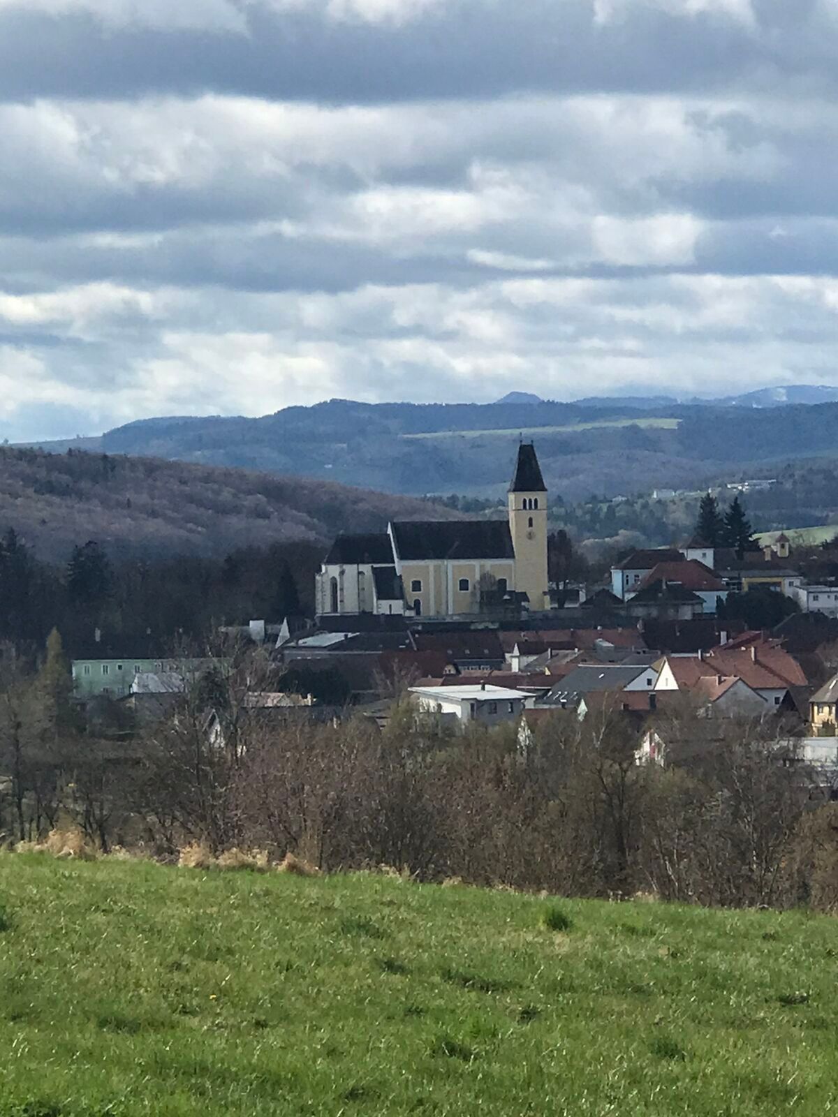
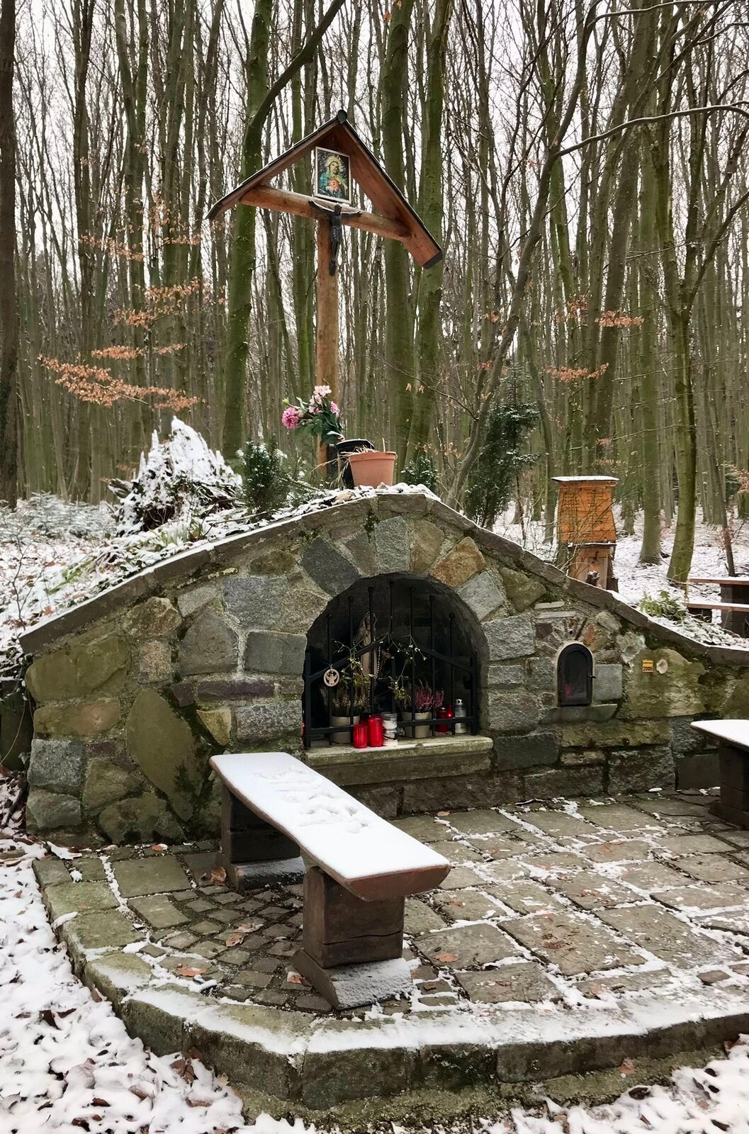
Výlet na 347 m vysoký Kronberg přiblíží milovníkům přírody nejen jedinečnou přírodní oblast, ale nabízí také hluboký pohled na krajinu v okolí Böheimkirchenu. Na několika místech se otevírají různá panoramata....
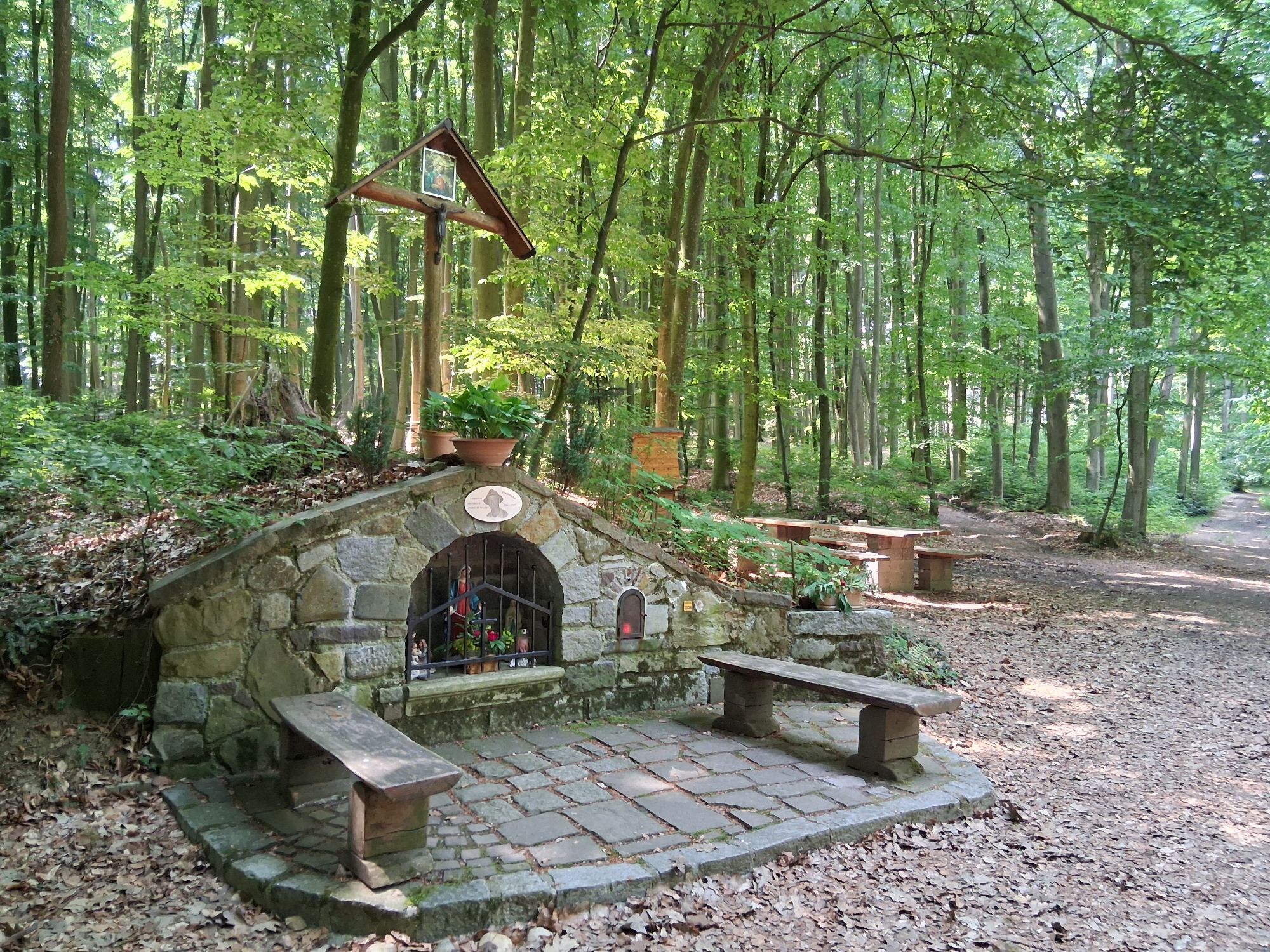
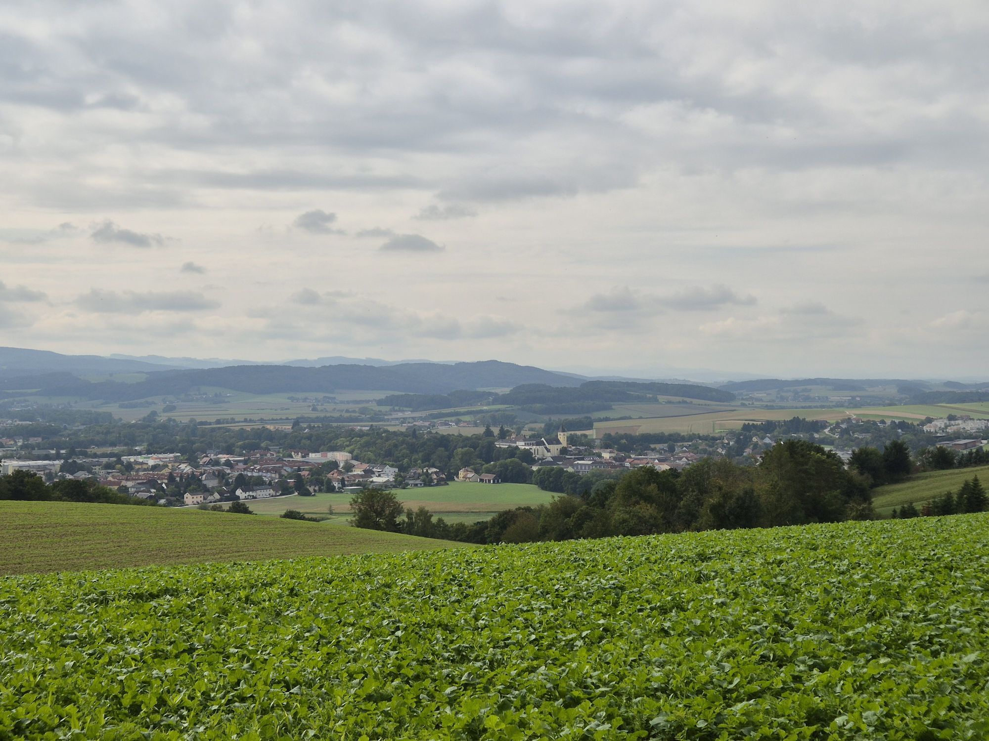
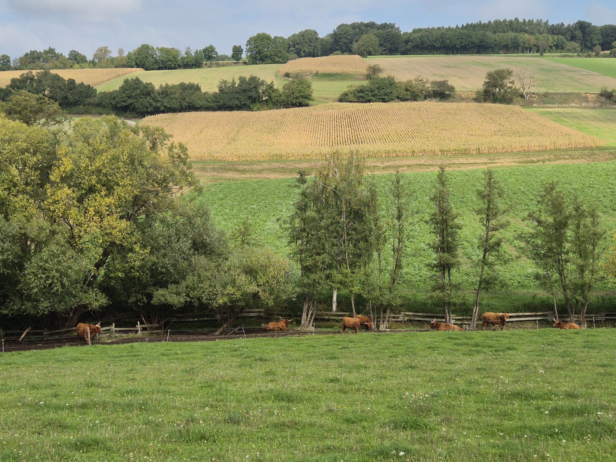
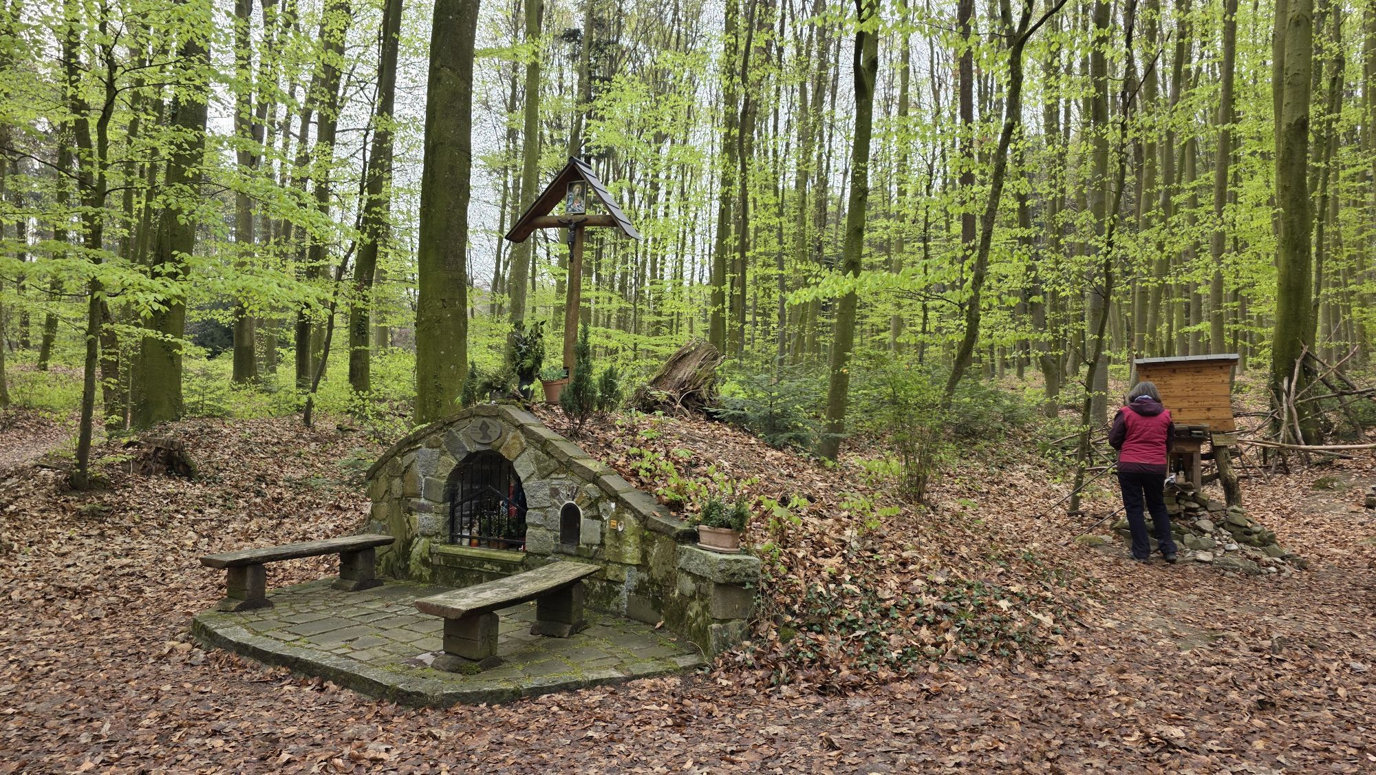
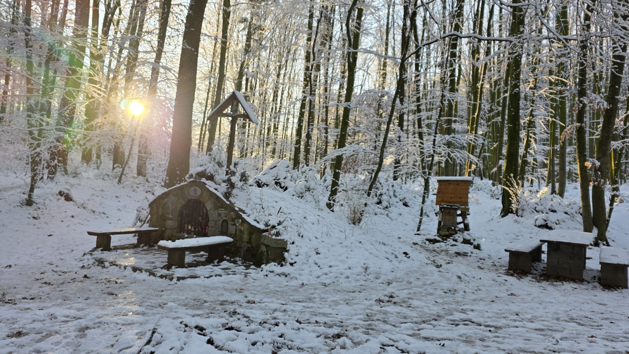
Výlet na 347 m vysoký Kronberg pÅiblíží milovníkům pÅírody nejen jedineÄnou pÅírodní oblast, ale nabízí také hluboký pohled na krajinu v okolí Böheimkirchenu. Na nÄkolika místech se otevírají různá panoramata. Na jednom místÄ se rozprostírá výhled pÅes kopce VídeÅského lesa na Ötscher, na jiném pÅes rozlehlý Tullnerfeld na Waldviertel. Kostely Herzogenburg a Heiligenkreuz, stejnÄ jako hrad Neulengbach, jsou jasnÄ rozpoznatelné. Mezi nimi se nachází obec Böheimkirchen s impozantním kostelem. Vrcholem trasy je romantický Haspelwald, malý les na jedineÄném horském hÅebeni, který vznikl ze zbytků Äeského masivu. UprostÅed lesa leží jeskynÄ Maria im Walde, která vybízí k odpoÄinku a zdržení. PÅed desítkami let zde byla ve vydlabaném koÅenáÄi umístÄna soška Panny Marie. Ve spolupráci s obcí a majiteli pozemku zde v roce 2010 po návratu ze Svatojakubské cesty vztyÄil muž, který se uzdravil z dlouhé nemoci, sochu novou. Po procházce smrkovými lesy dojdeme ke Königsbühelu nad statkem Schreckhäusel. Název pÅipomíná pÅítomnost sálských králů v 11. století. PrávÄ v této dobÄ byla pasovskou diecézí založena farnost Böheimkirchen. ZávÄr túry vede pÅes obdÄlávanou půdu podél ÅíÄky Perschling zpÄt do centra mÄsta.

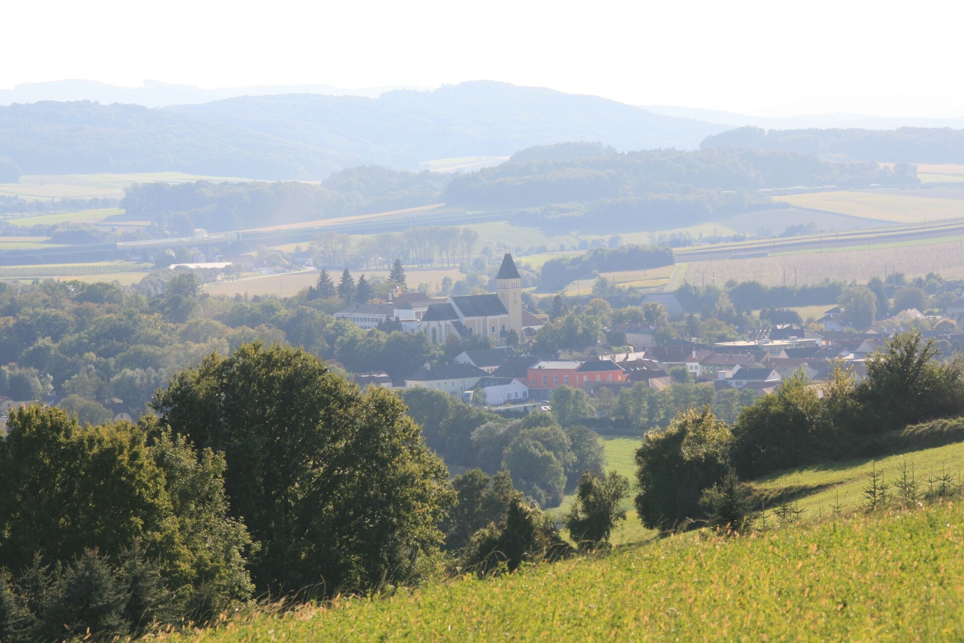
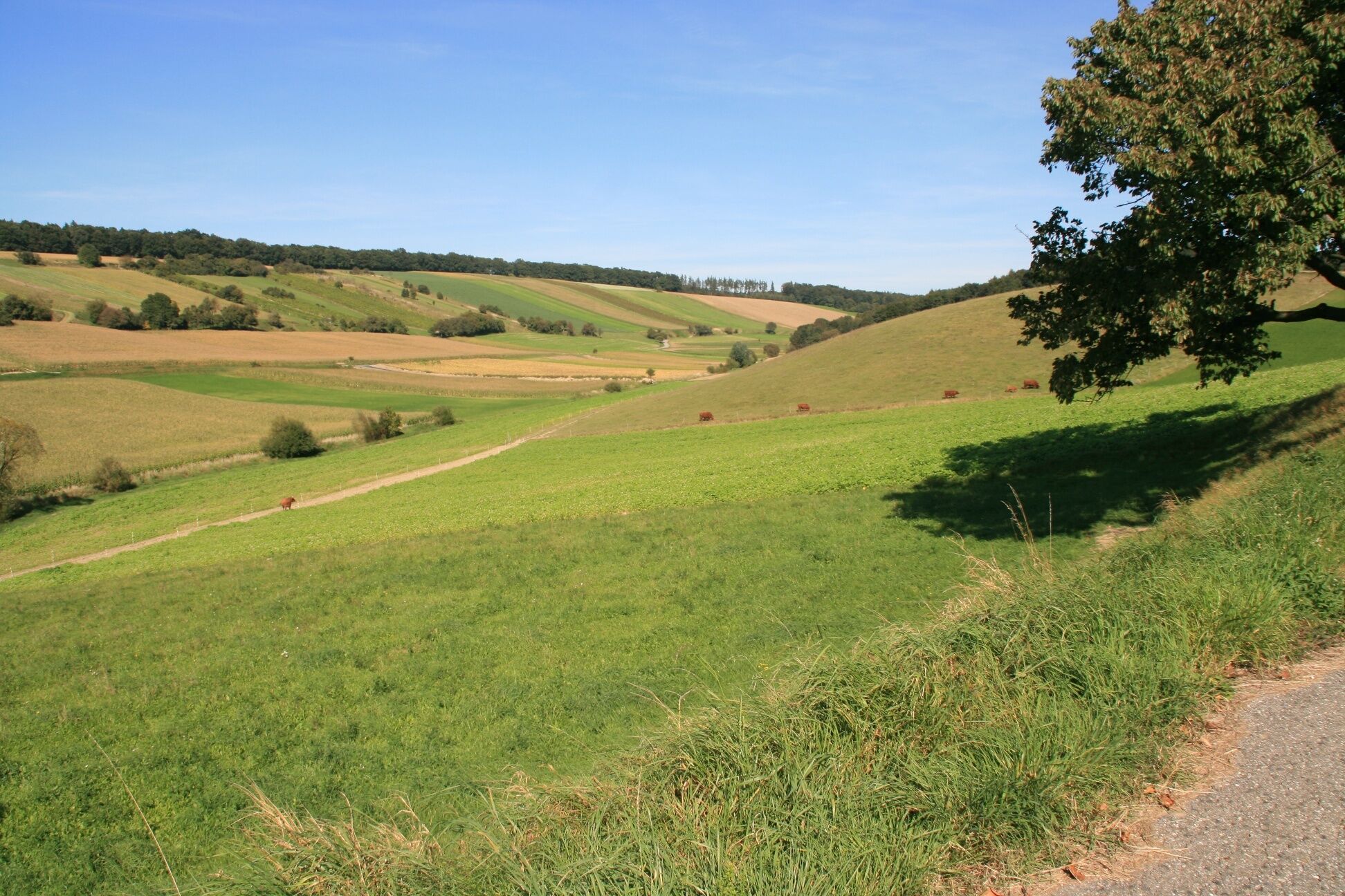

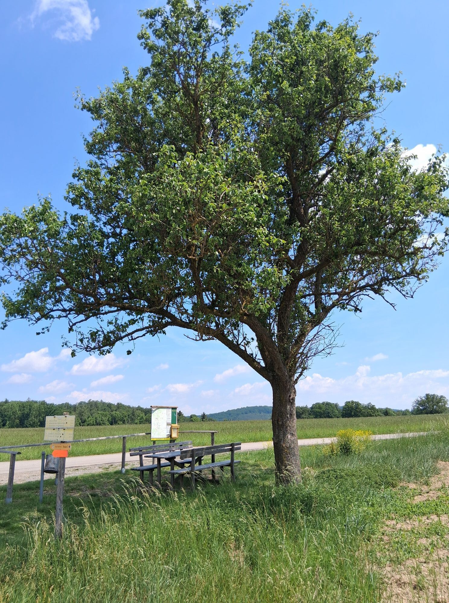
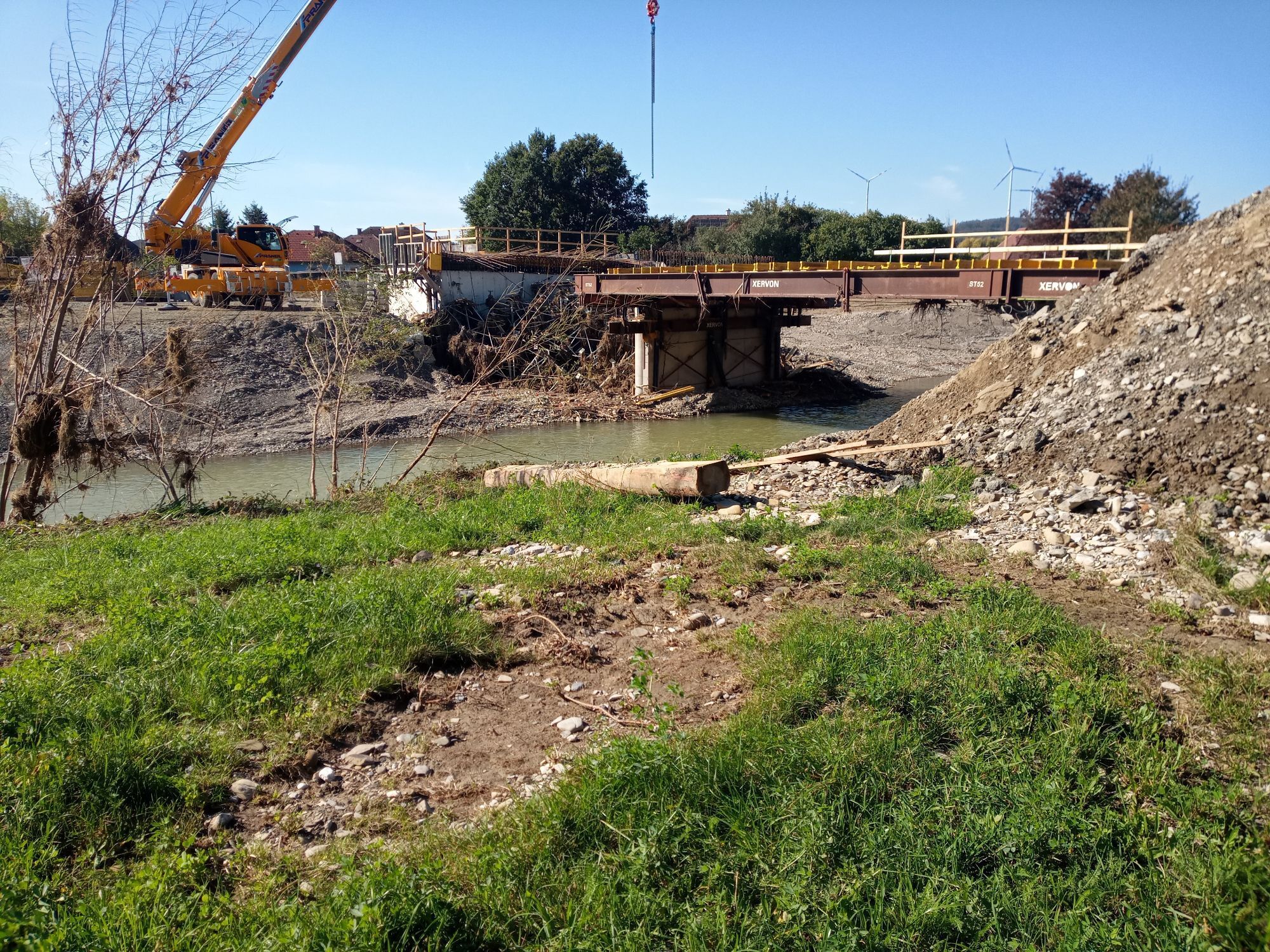
The Grottenweg begins in the center of Böheimkirchen. There is a café and several restaurants to have a snack before the hike. It starts heading west across the Michelbach bridge. After a few meters, turn left to reach the village of Hinterberg. At the end of the settlement, there is an unmarked intersection where you must turn right. Then follow a field path uphill to the Kronberg (347m). At the next field path intersection, keep left. Then walk along the ridge of the Kronberg at the forest edge. After a small seating area, the path turns into the forest. After the forest, you come to an intersection with the WIR circular trail at the border to the Kirchstetten municipality. Here turn left and follow this path north. After crossing a road, you come again to an unmarked intersection at the forest edge. Here turn right into the forest. You are now in the wild and romantic Haspelwald and can follow the green-red “MW” markers. Finally, you reach the highlight of the route: the grotto “Maria im Walde”. The 2009-built place of worship in a clearing invites you to linger. From the grotto, head west, i.e. left. In this direction, there are 3 paths; choose the third from the left. On narrow but level forest paths, keep left, after about one kilometer you reach a clearing with a view over the Tullnerfeld. From here, the path follows the forest edge downhill. Upon reaching a gravel road after a few meters, turn left. After about 200 meters, the path enters the forest again. Here keep right until you reach another clearing with a view of the village of Lanzendorf. The forest then ends after about 300 meters at a water reservoir. From here, follow an asphalted farm road downhill, enjoying the view of Böheimkirchen and the Ötscher. At the foot of the mountain, the path winds around the Schreckhäusl farm. You reach the main road and turn left onto it. You then continue straight on a gravel path before the bridge over the Weisching towards Kronbergmühle. At this point, cross a small bridge to the right and then immediately left over a meadow towards the town center. You cross two more bridges until you reach the built-up area near the start point again.
Normal hiking equipment, long clothing recommended
Motorway A1, exit Böheimkirchen, then direction Böheimkirchen
Free short-term parking zone (Mon-Fri, Saturday morning), alternatively: parking lot of the Böheimkirchen school center
Mostviertel Tourism
3250 Wieselburg, Adalbert-Stifter-Straße 4
Tel. 07416/521 91
Fax 07416/530 87
Elsbeere Vienna Woods Region
3040 Neulengbach, Kirchenplatz 82
Tel. 02772/524 84
Market Municipality Böheimkirchen
3071 Böheimkirchen, Marktplatz 2
Tel. 02743/2318
Fax. 02743/2318 13
buergerservice@boeheimkirchen.gv.at
www.boeheimkirchen.eu
Získejte přehled
Vždy živě na místě s více než 9 500 webkamerami. bergfex Jako uživatel Pro si nyní můžete zobrazit odpovídající webové kamery pro mnoho prohlídek v aplikaci prohlídky z. Můžete si tak přímo prohlédnout aktuální podmínky.
Oblíbené prohlídky v okolí
-
4.4
Hegerberg
světloTuristika 8.06 km -
4.8
Circular hike to Buchberg lookout
světloTuristika 9.24 km -
4.2
Drei-Seen-Runde St. Pölten
světloTuristika 5.02 km -
5.0
Laabental - Radweg
světloJízda na kole 15.7 km -
4.9
Traisental MTB Potpourri
středníMountainbike 27.9 km -
4.4
Laabner Elsbeerwege - Variante 2
středníTuristika 7.98 km -
4.3
Über Sitzenberg-Reidling: Seelacke-Korkenzieher-Weinberge
středníTuristika 11.1 km -
4.0
Altlengbacher Rundwanderweg
středníTuristika 6.72 km -
4.5
Leichte Wanderung auf die Rudolfshöhe
světloTuristika 5.17 km -
4.0
4 Jahreszeiten Wanderung
světloTuristika 10.0 km
Pěší turistika a stopování


Nenechte si ujít nabídky a inspiraci pro vaši příští dovolenou
Vaše e-mailová adresa byl přidán do poštovního seznamu.





