


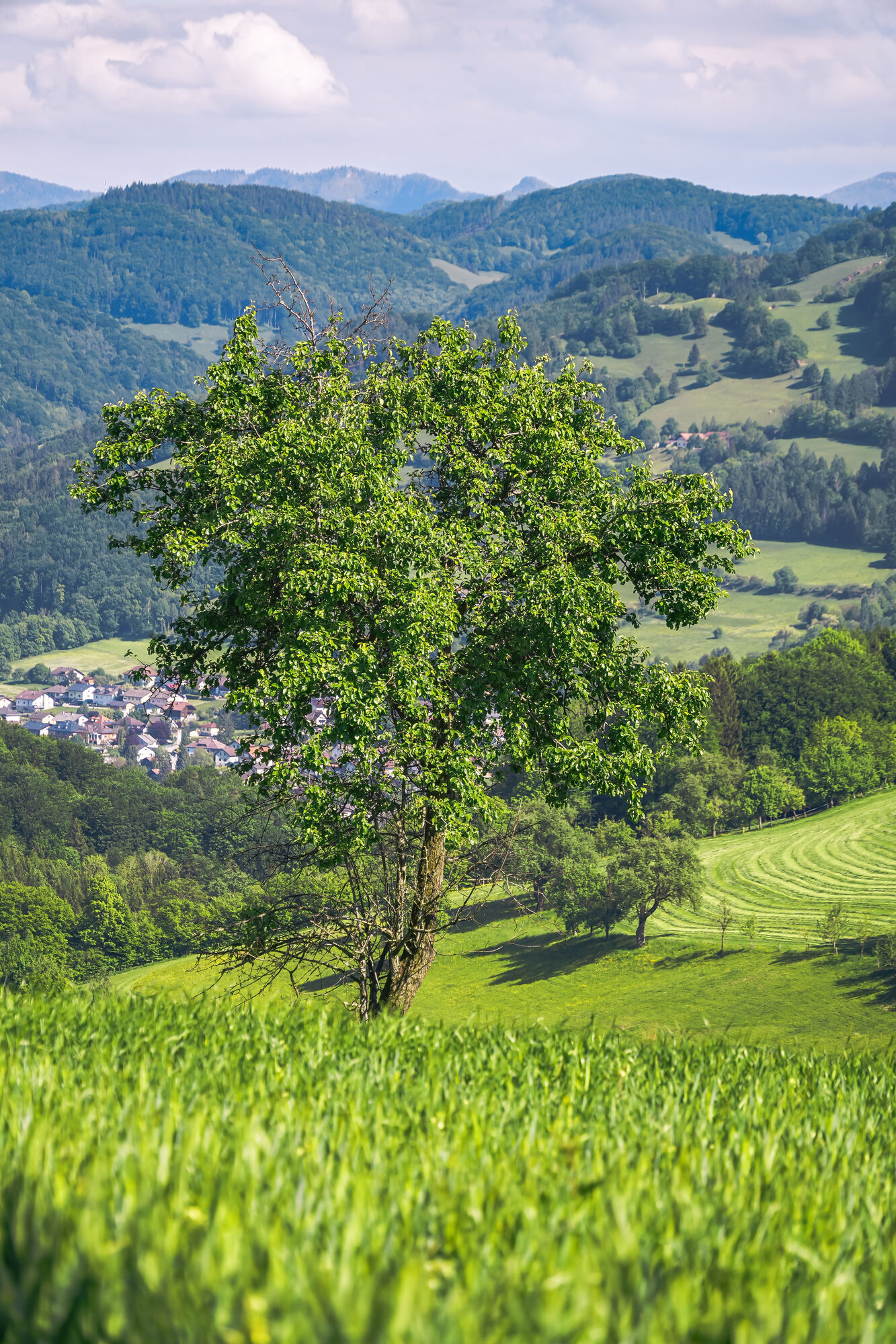
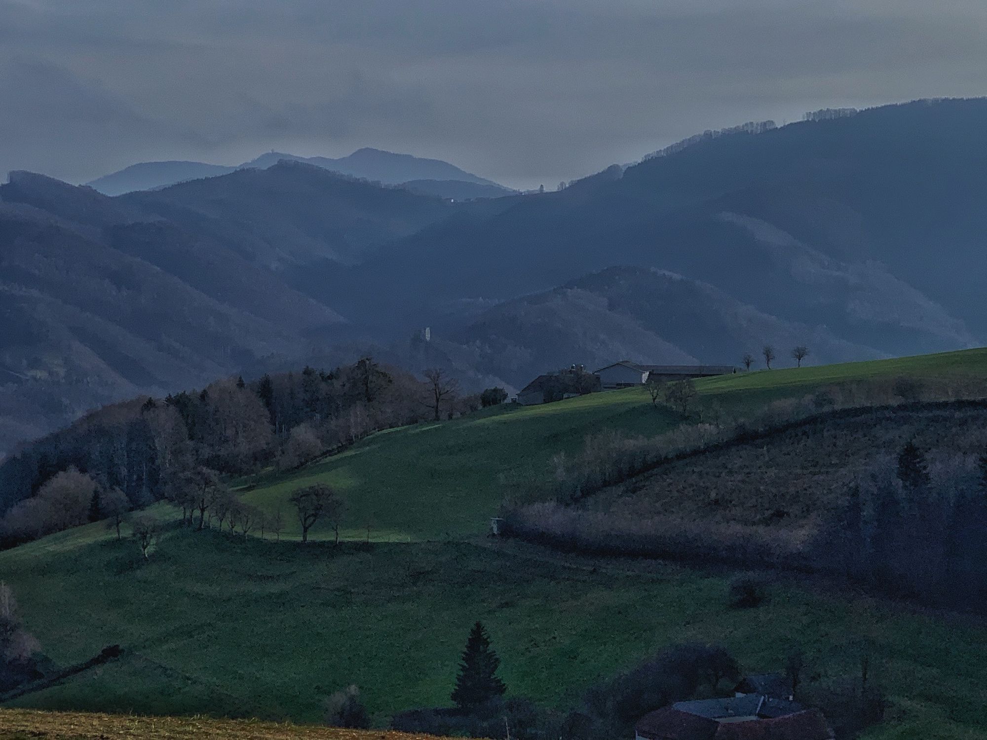
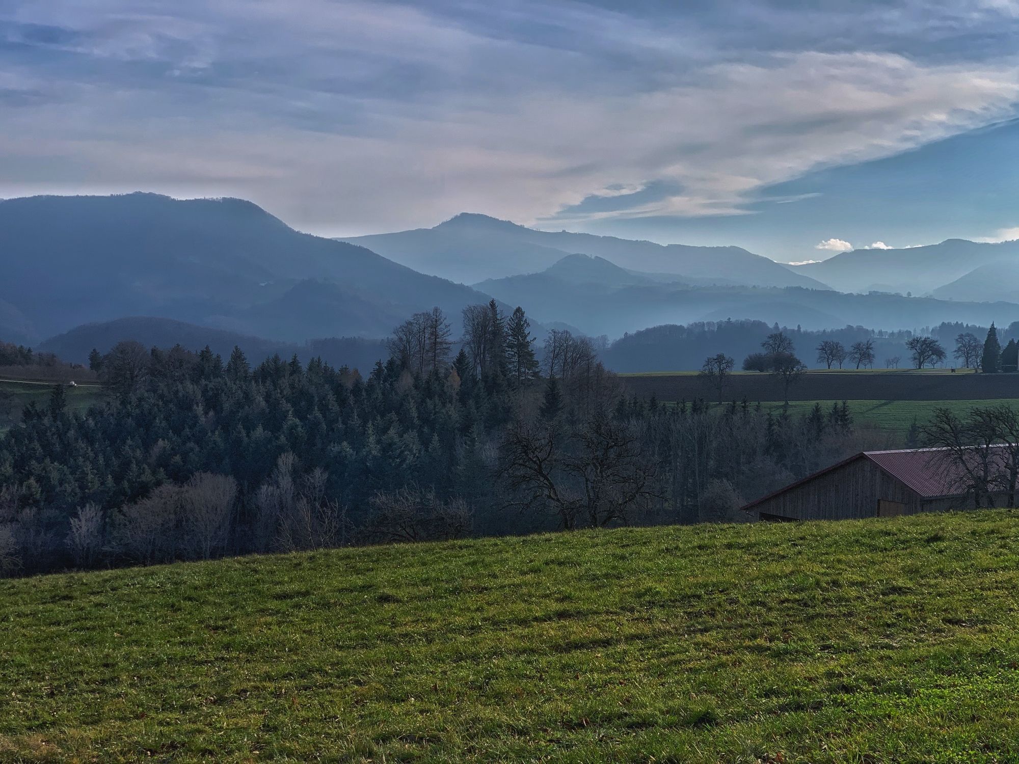
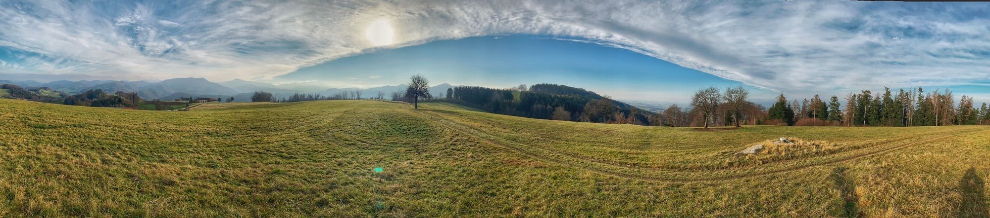
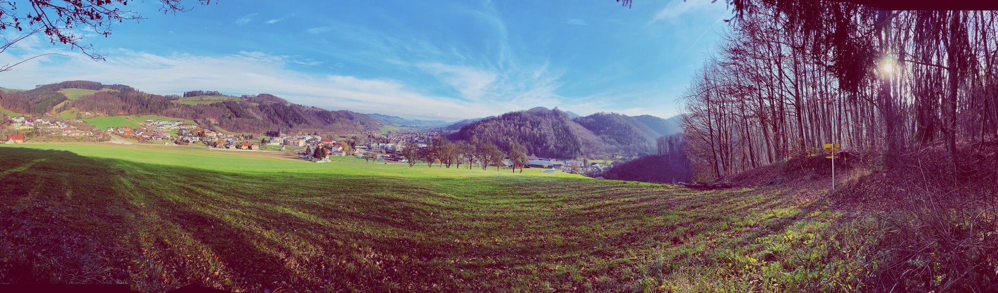
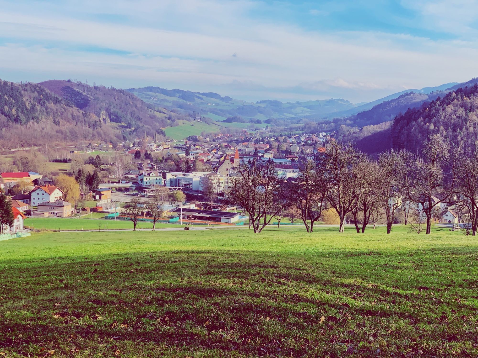
Two-valley view round


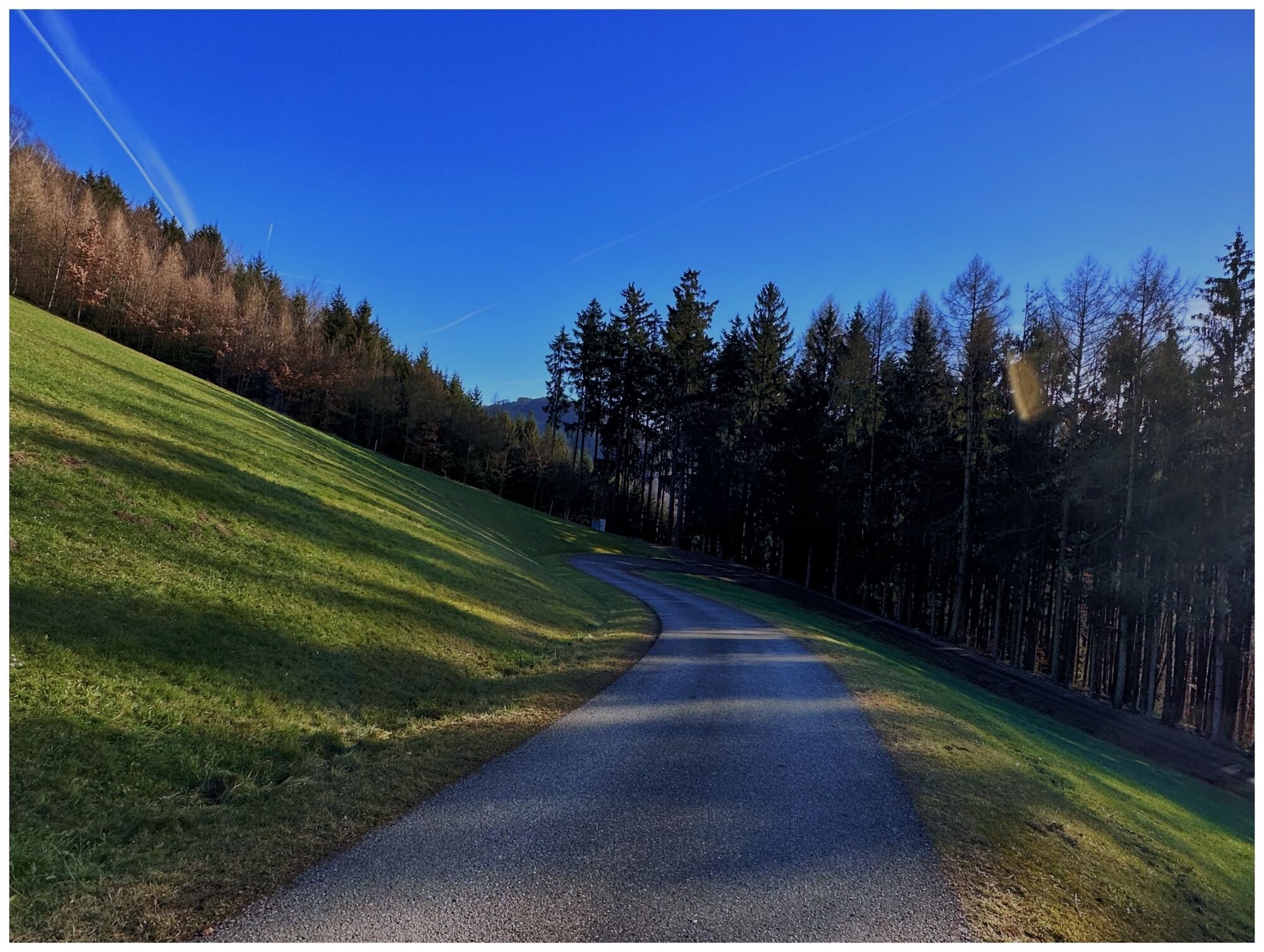


The hiking trail is very scenic. Part of it runs along the Pielachtal circular route No. 652.

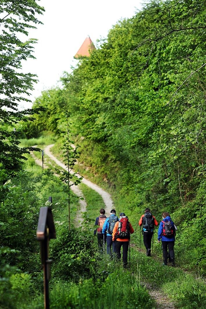
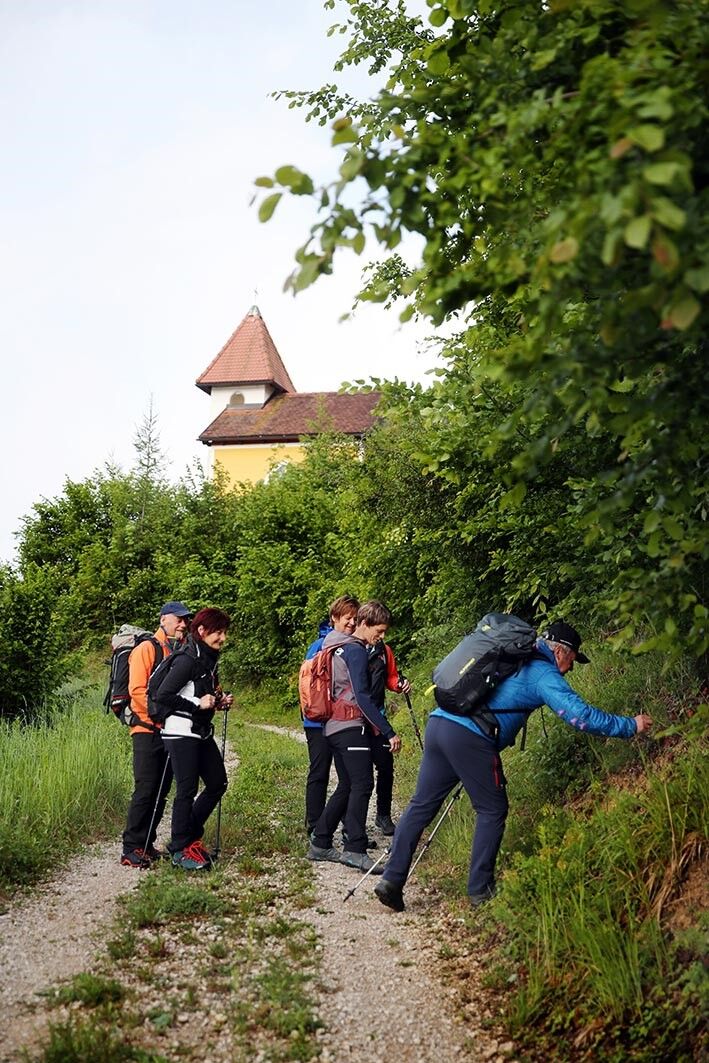
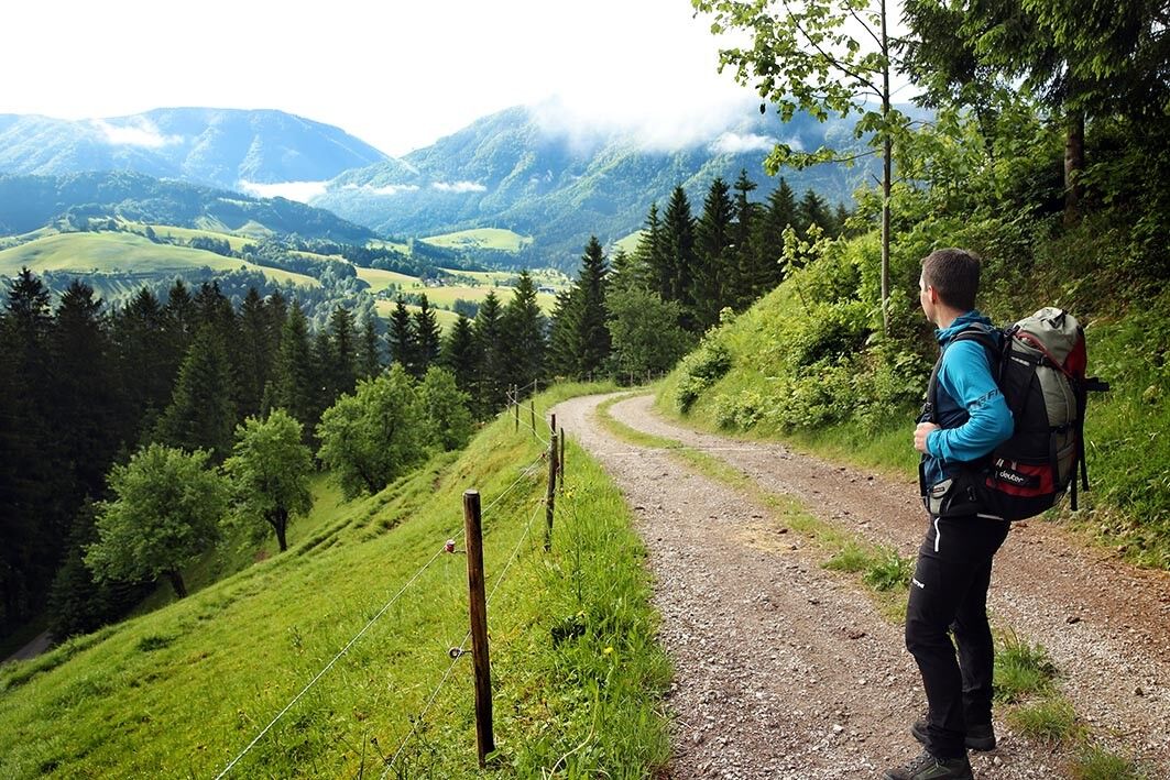

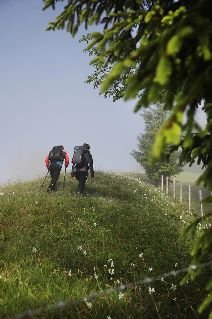
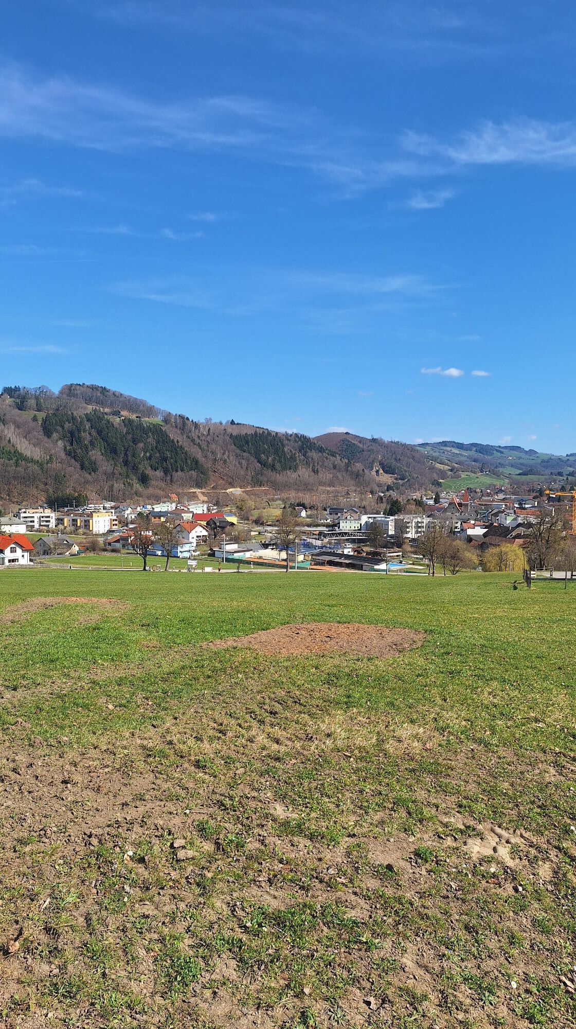
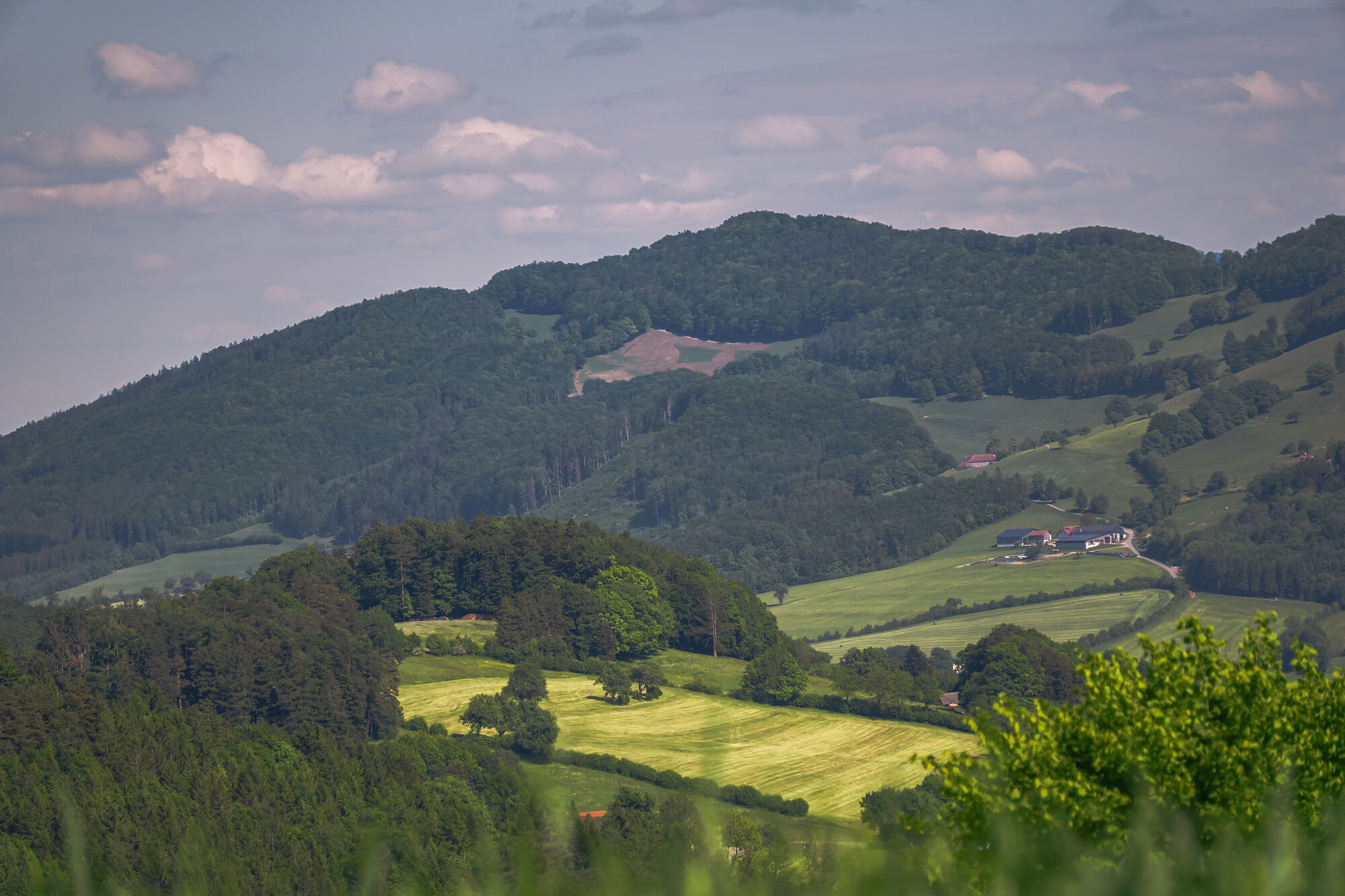
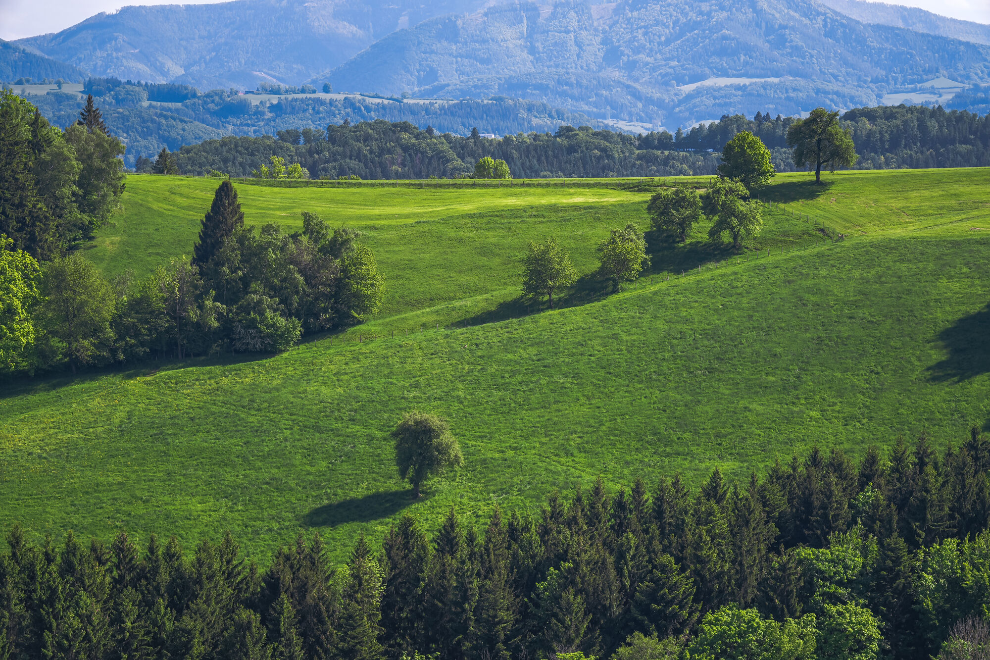
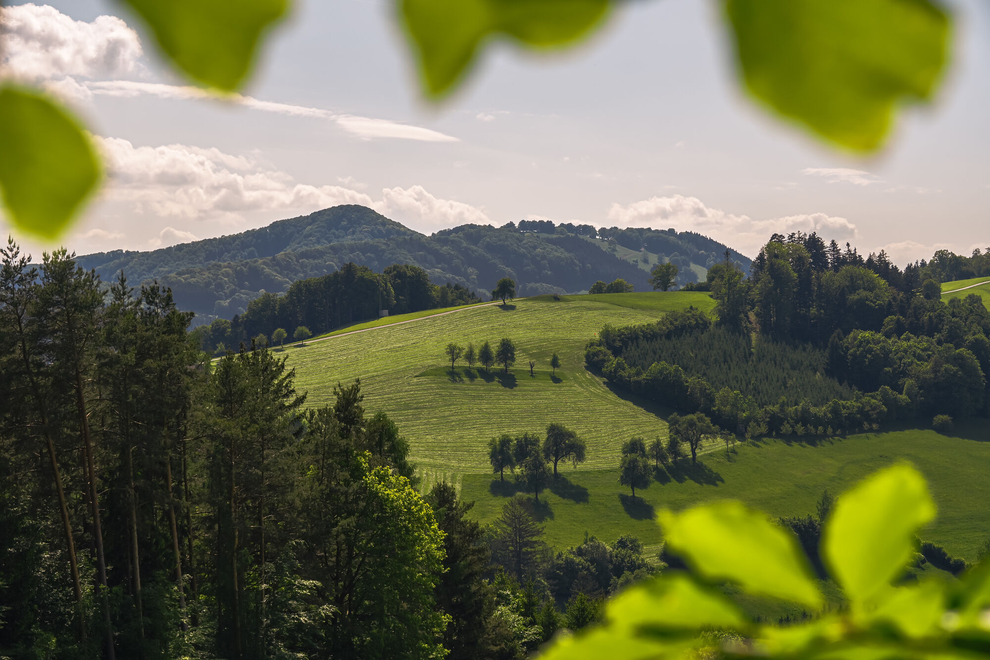
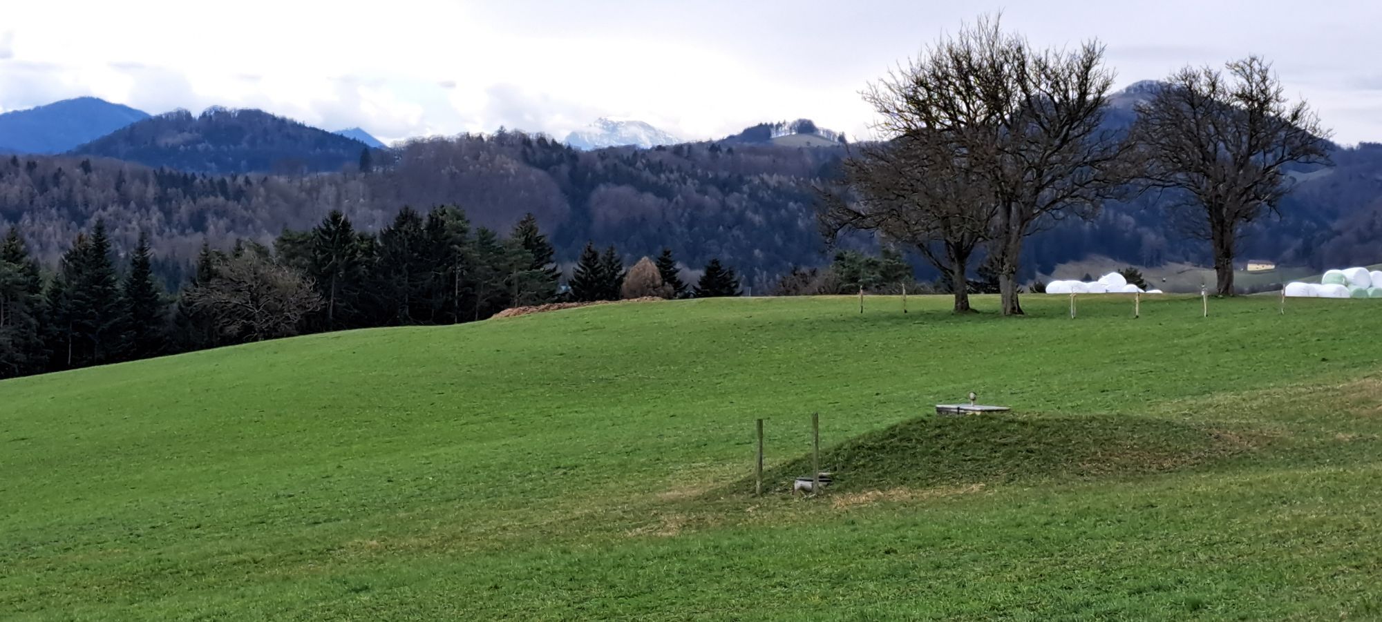
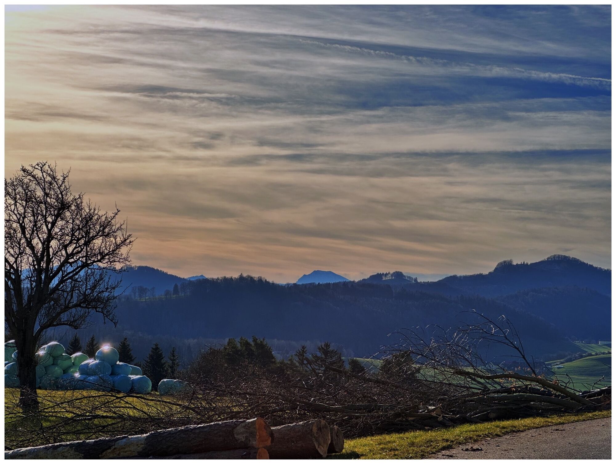
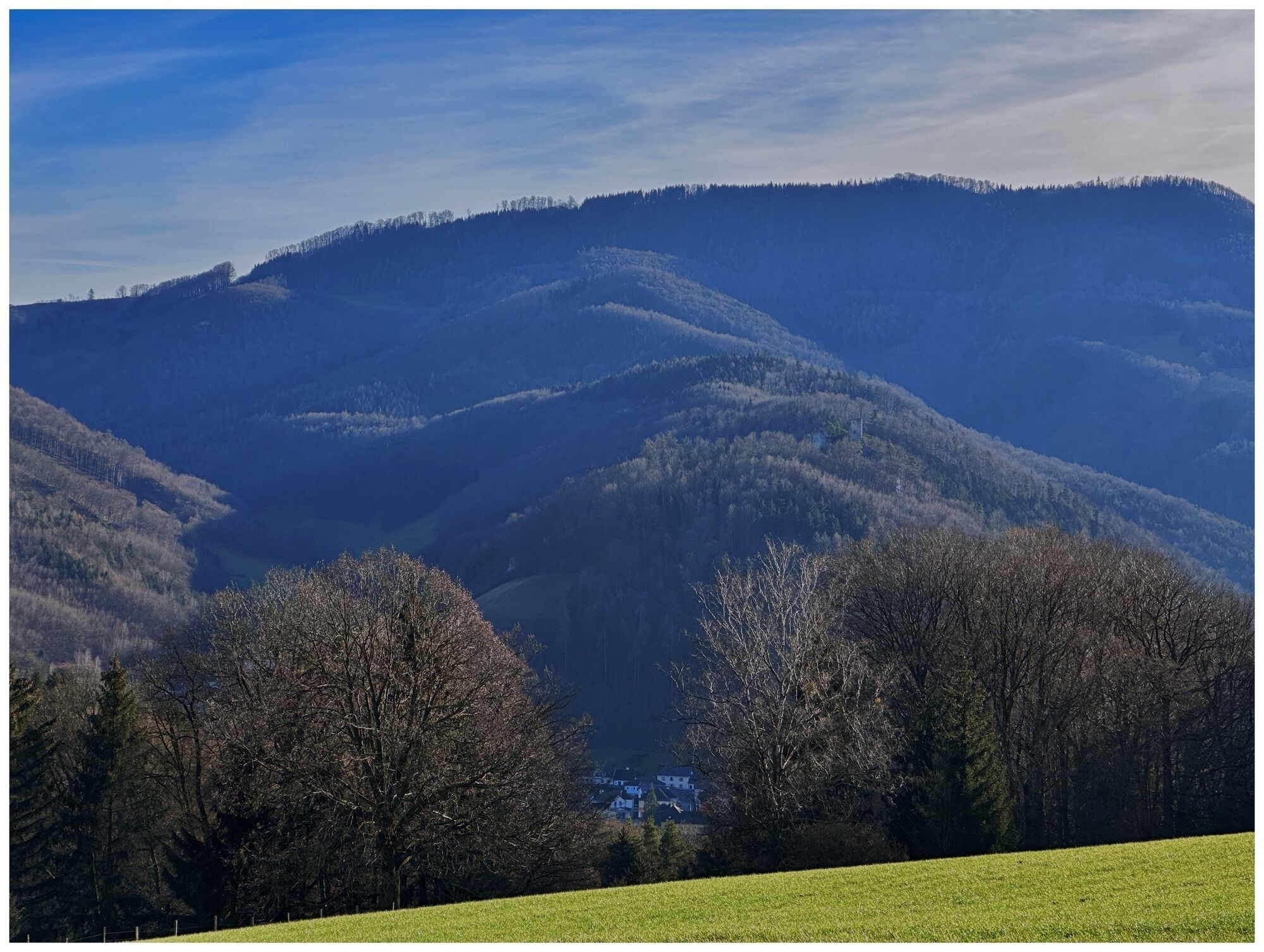
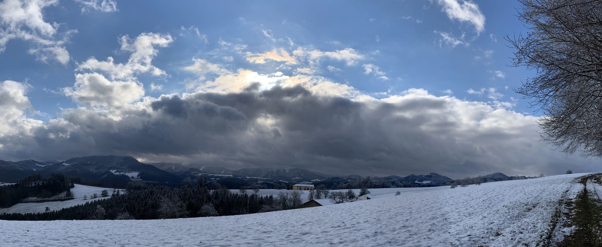
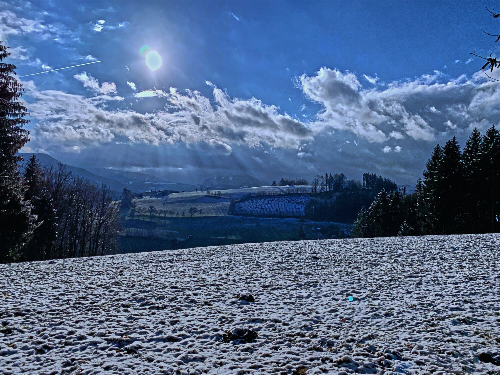
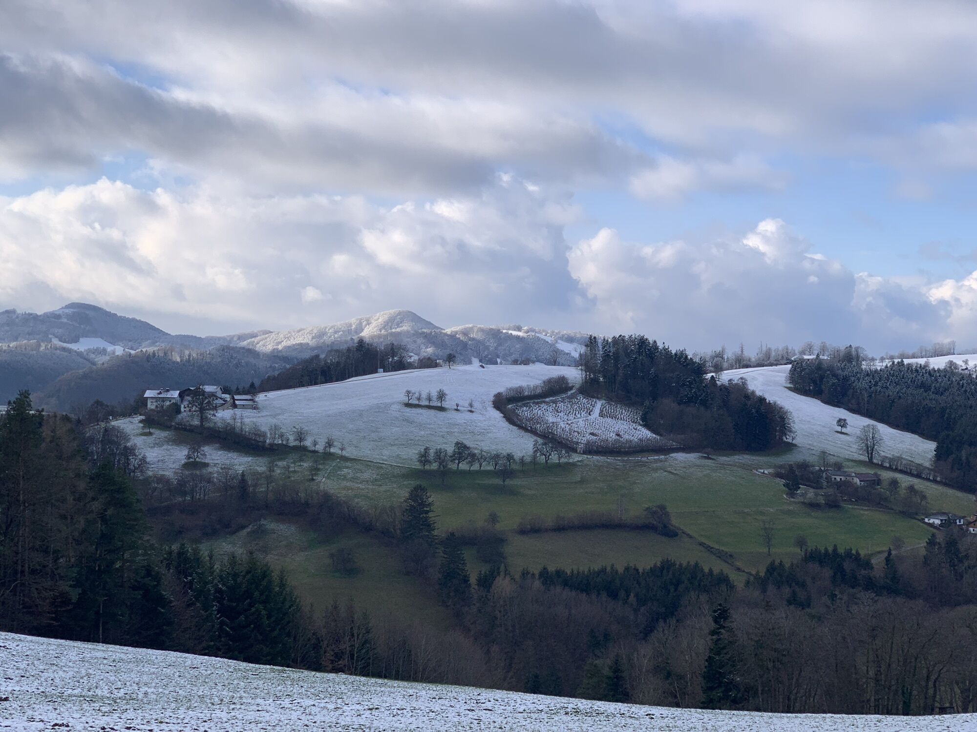
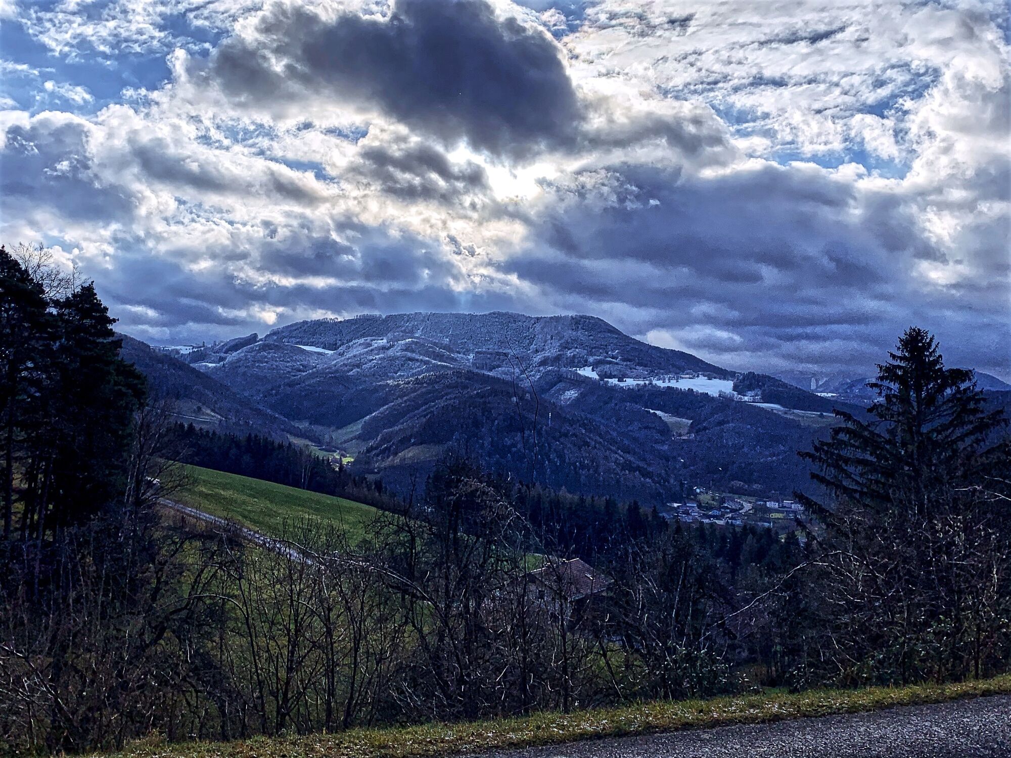
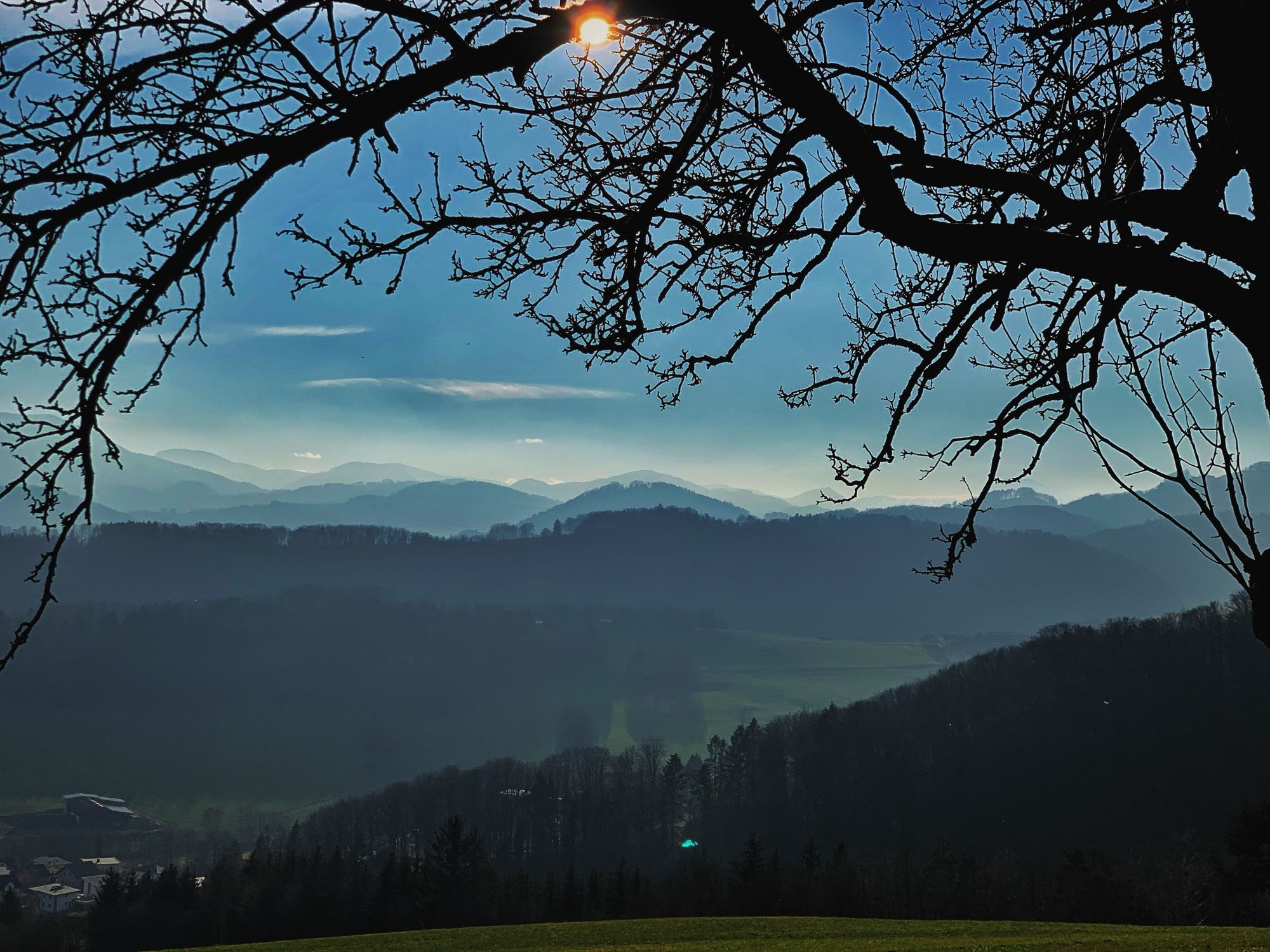
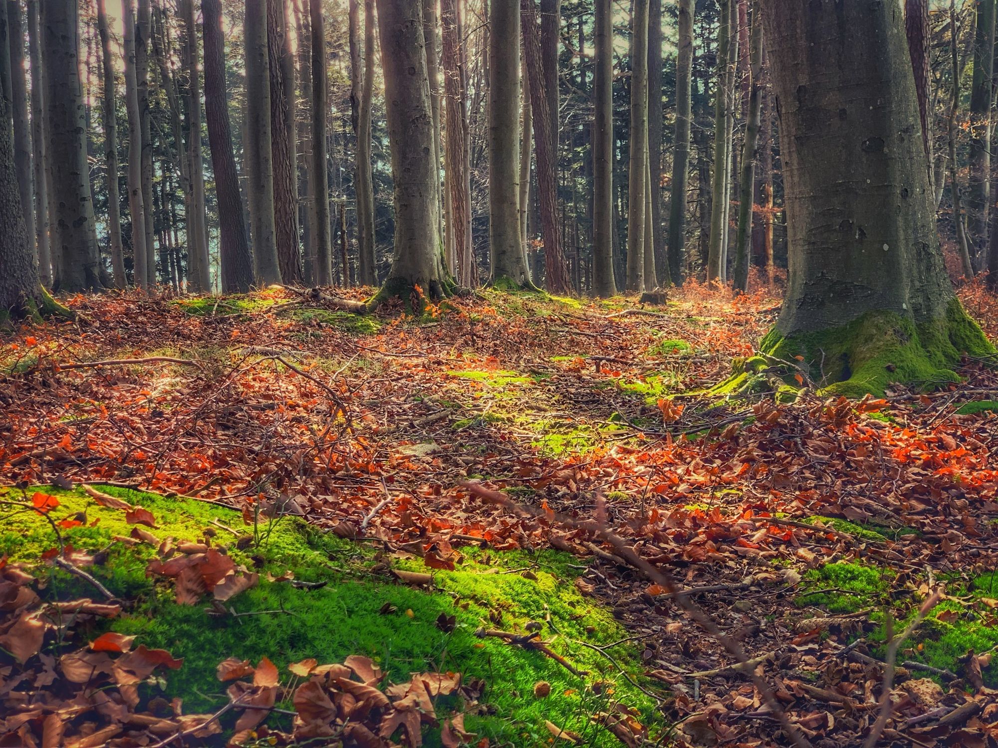
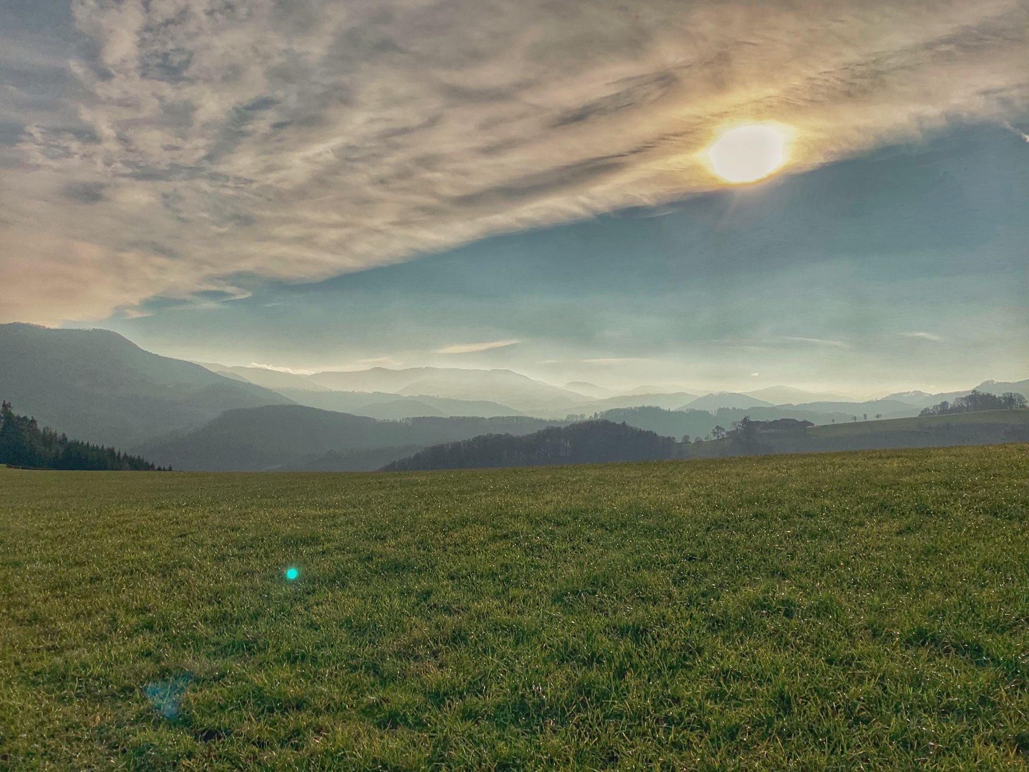
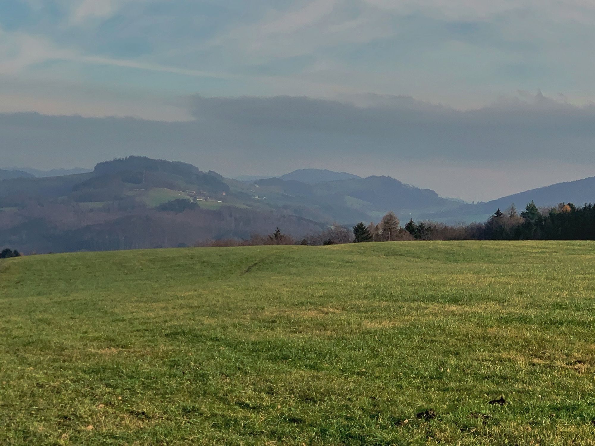
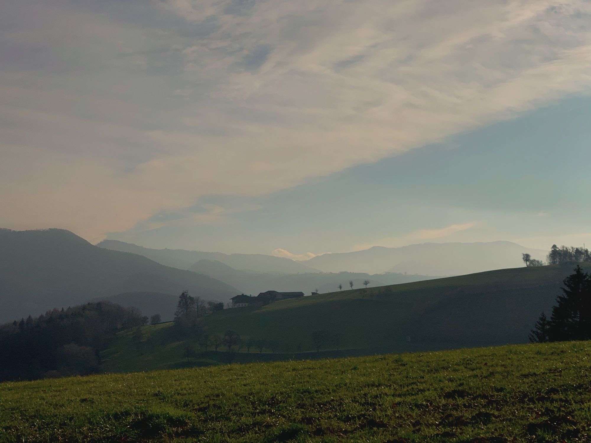
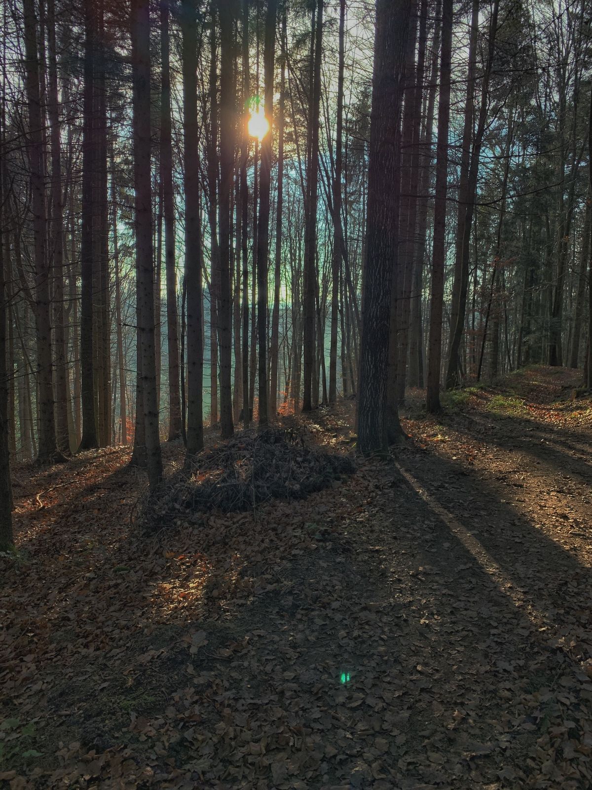
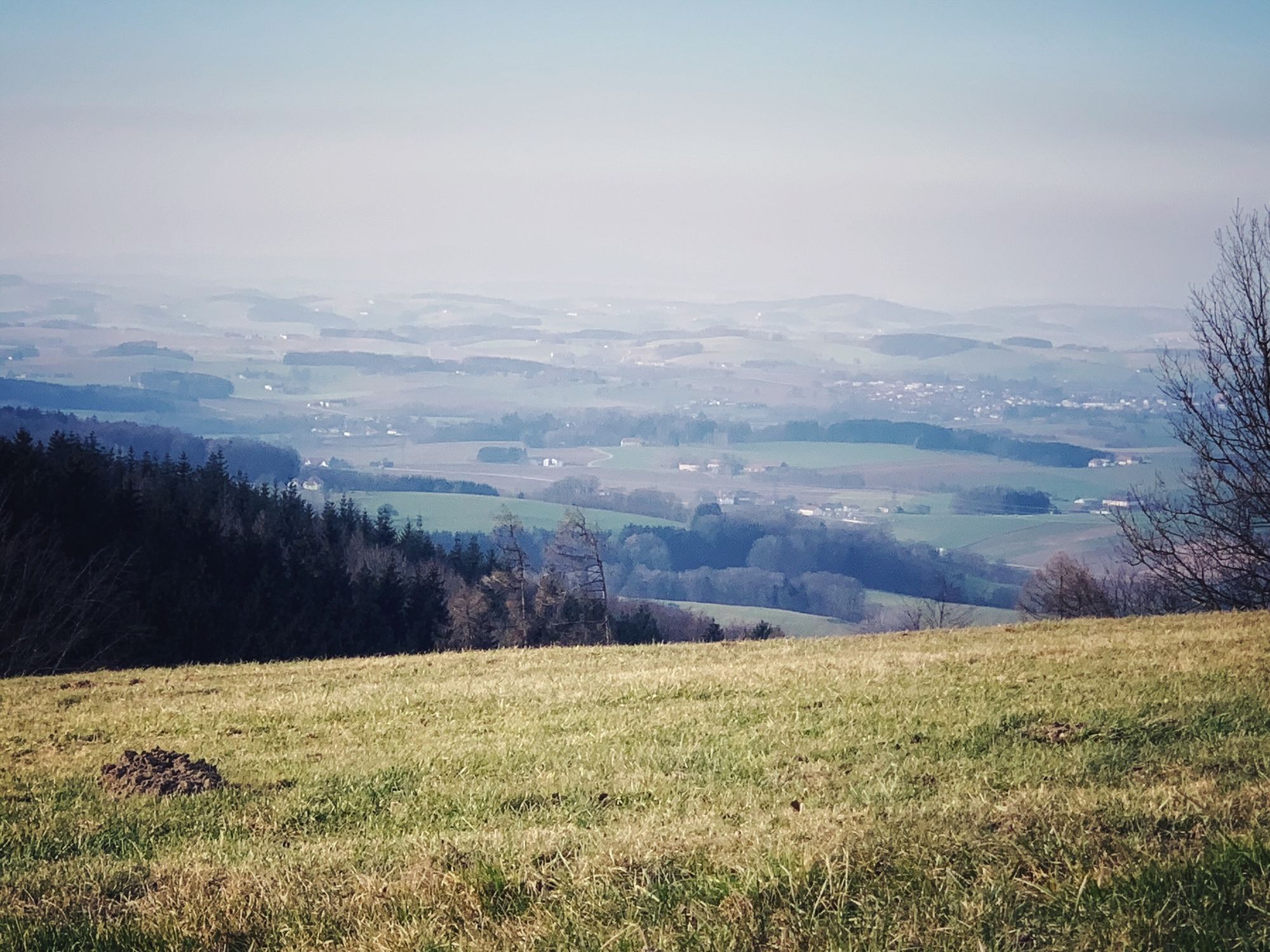
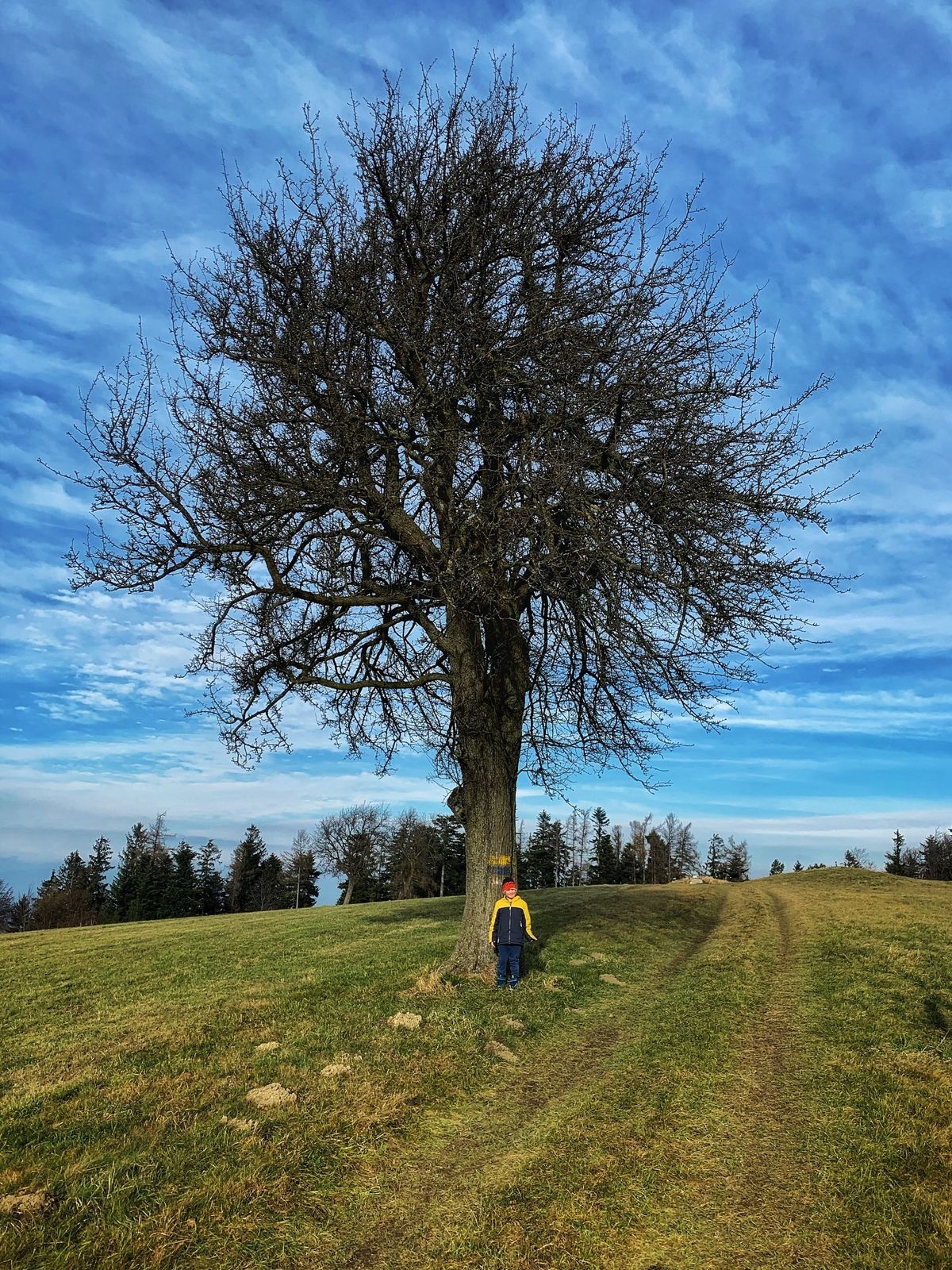
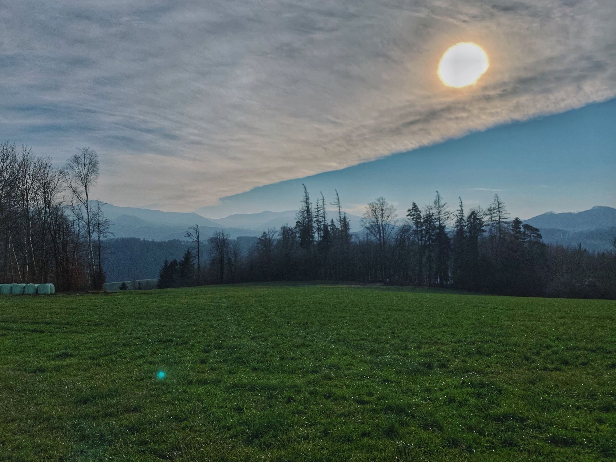
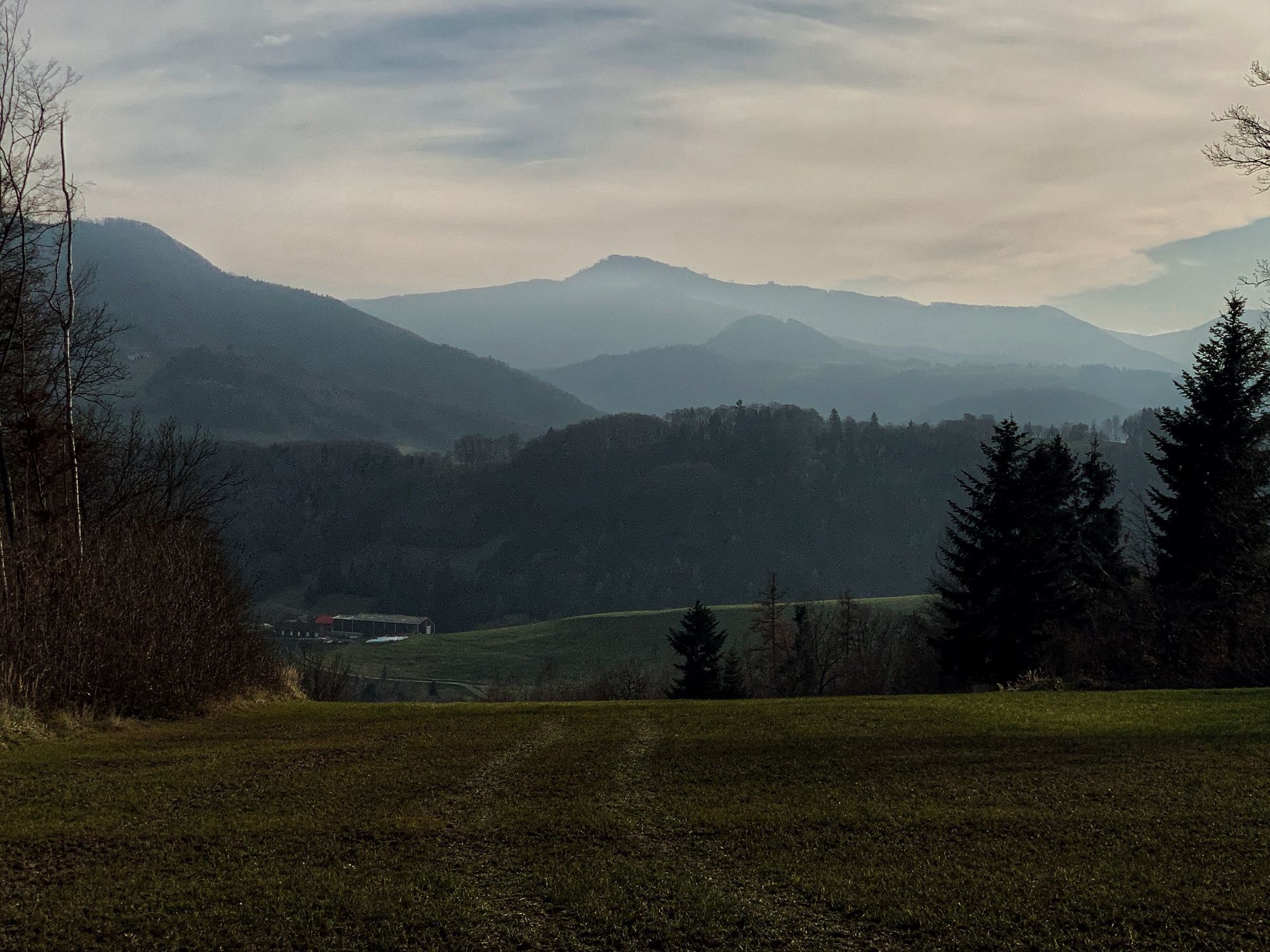
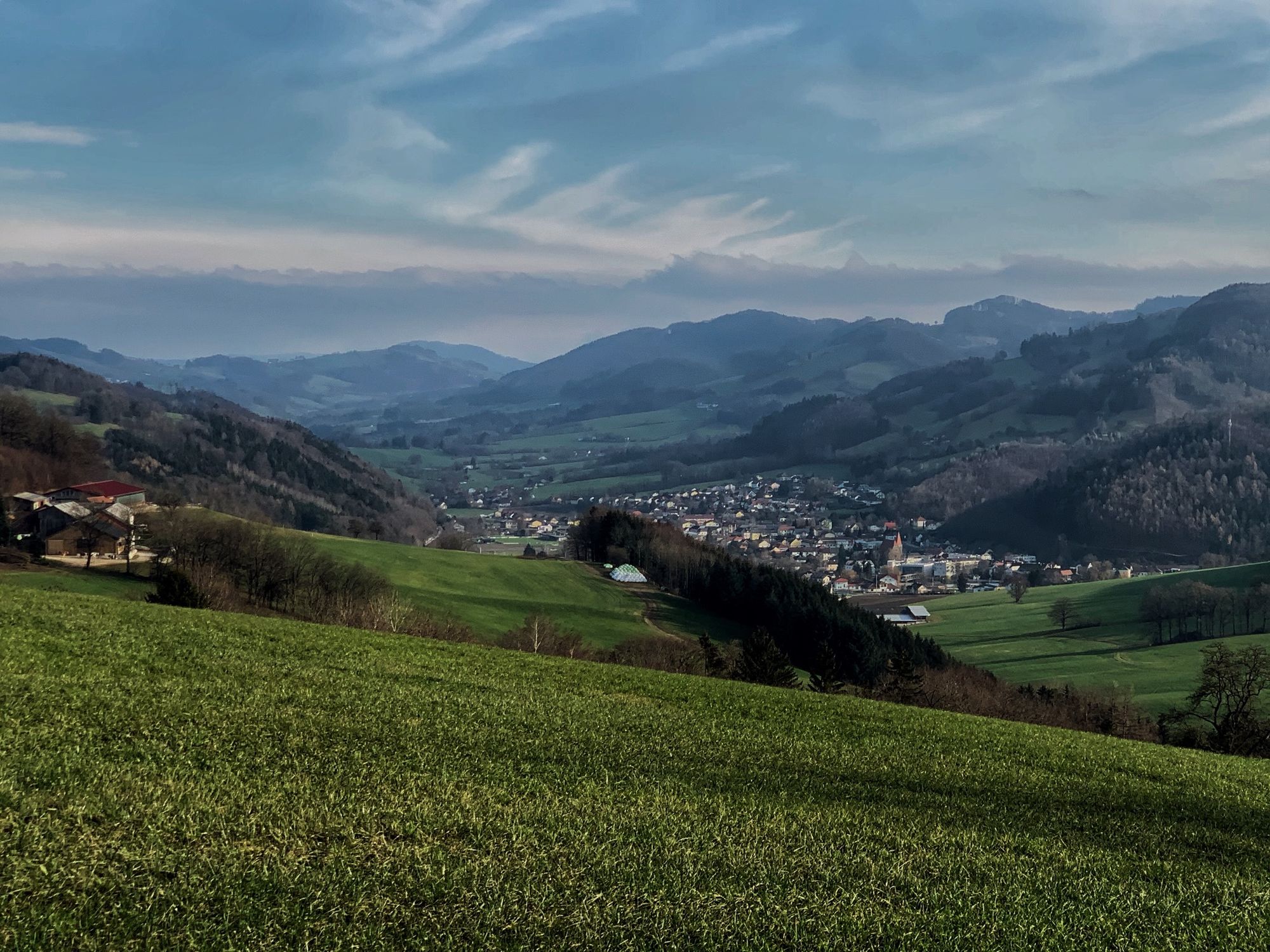
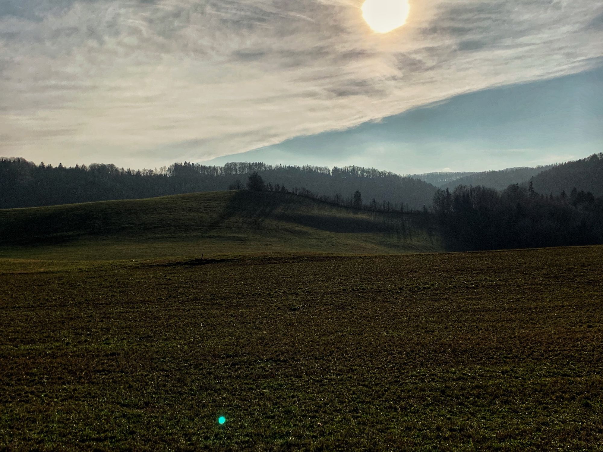
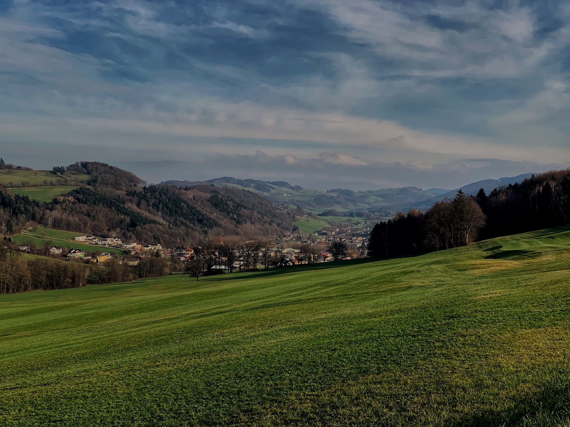
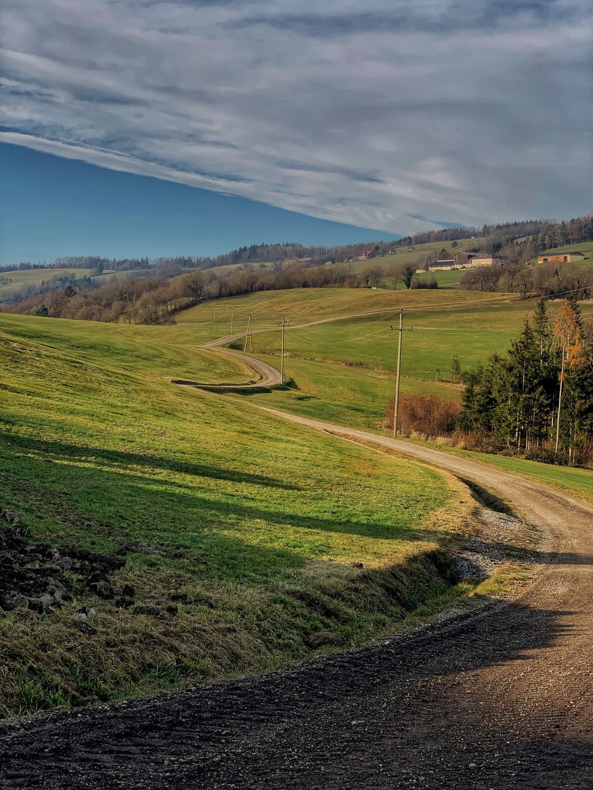
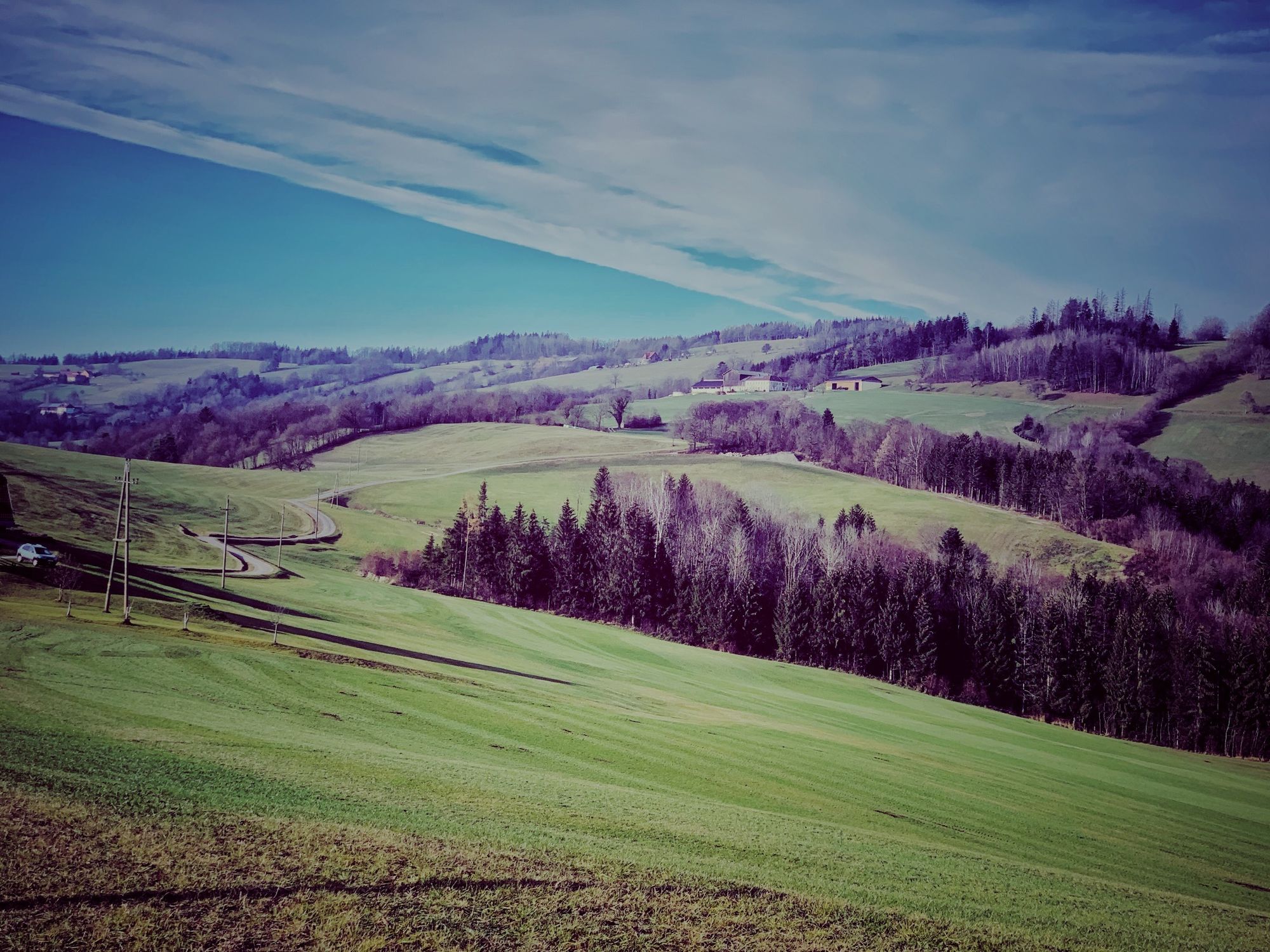
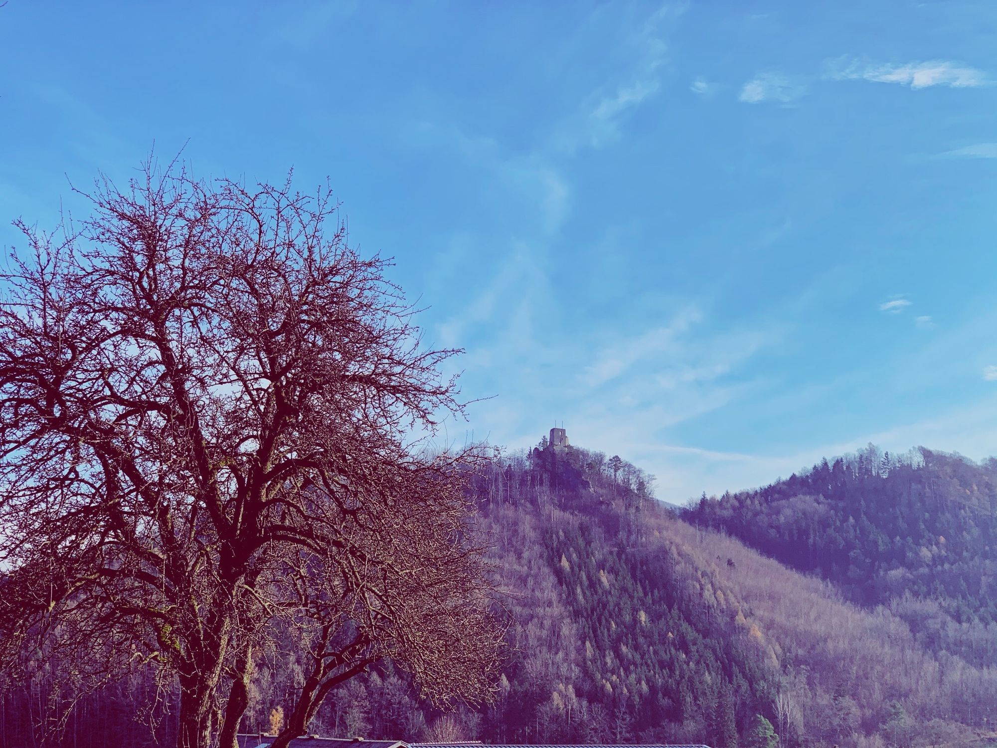
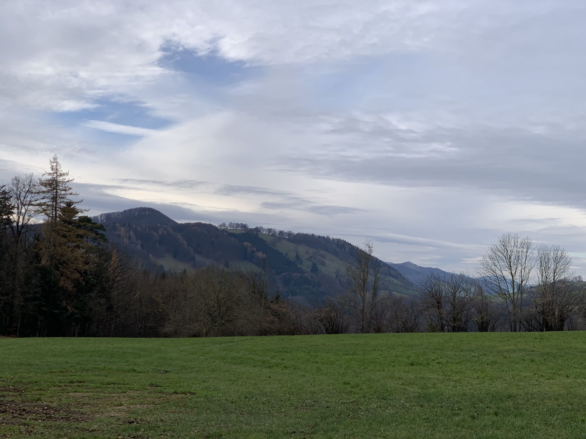
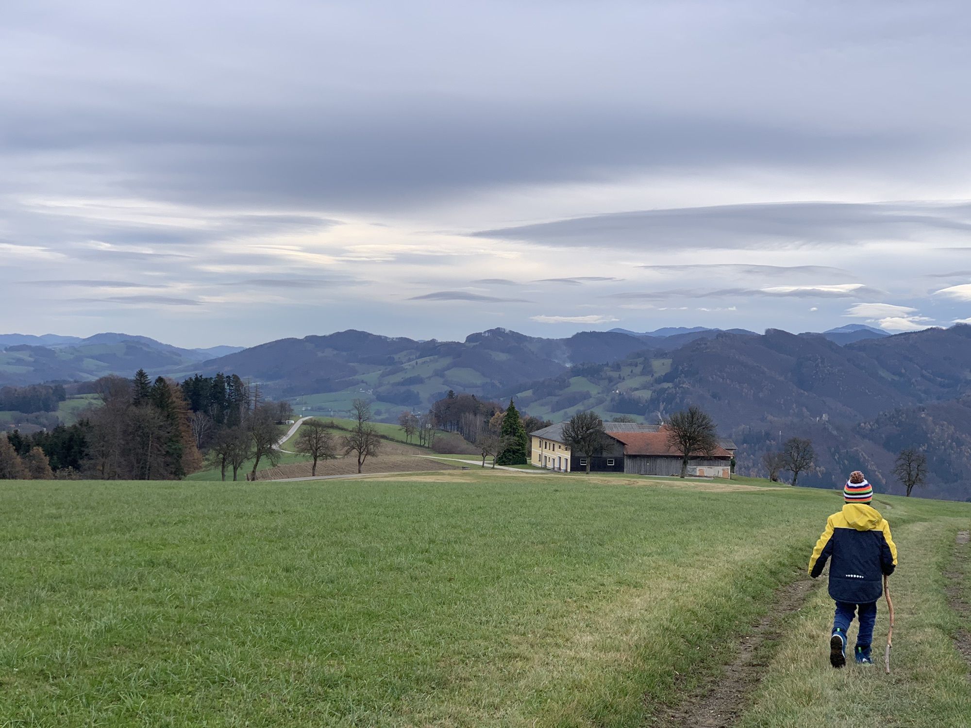
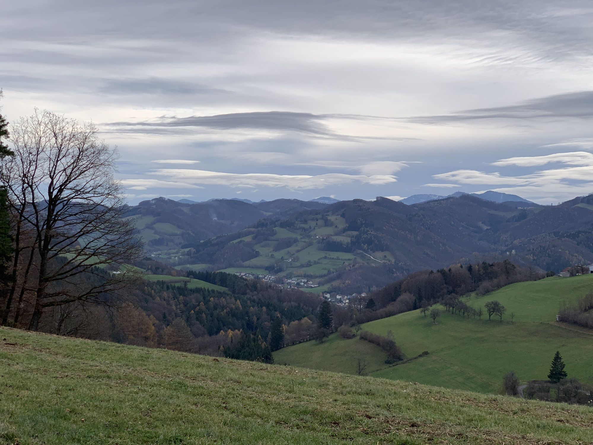
Train station (344 m) – Lustwald – Grabl – Unter-Eichberg – Mühlberg Chapel (592 m) – high-altitude hike on the Pielachtal circular route 652 or Roman path (651) with two-valley view (Sierning and Pielachtal) as well as a view of the castle ruins and the Ötscher – Malhof – Bergerbauer – Mangelberg (490 m) – Kollerberg – Westerndorf Greenhorn Hill (430 m) – Karhof (farm holiday) – Königsbachstraße – train station or community and cultural center
Marking: 4/3, blue
Ano
sturdy footwear/mountain shoes, provisions
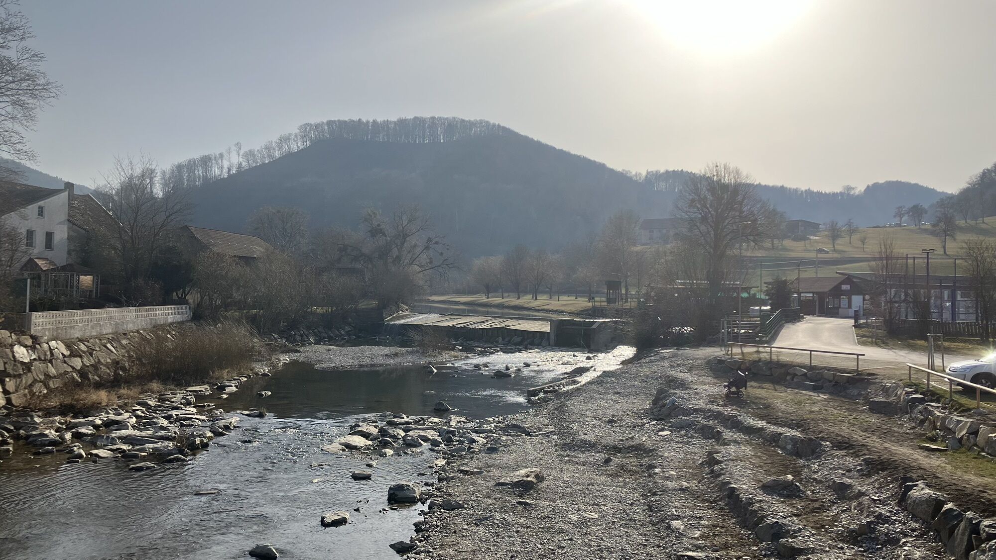
We take the B39 towards Mariazell and turn left in the town of Rabenstein an der Pielach towards the train station. Then follow the signs.
For the journey, the Mariazell railway is recommended, as the starting point is the train station.
We take the Mariazell railway towards Mariazell and get off at the "Rabenstein an der Pielach" stop.
Oggersheimer Square, train station
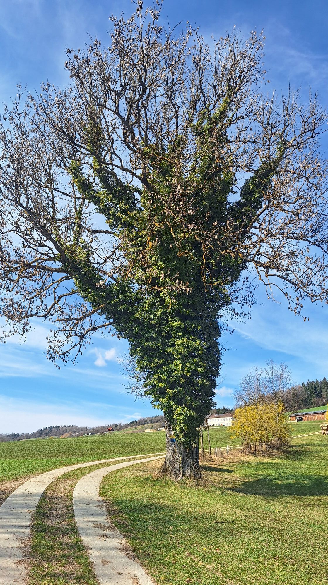
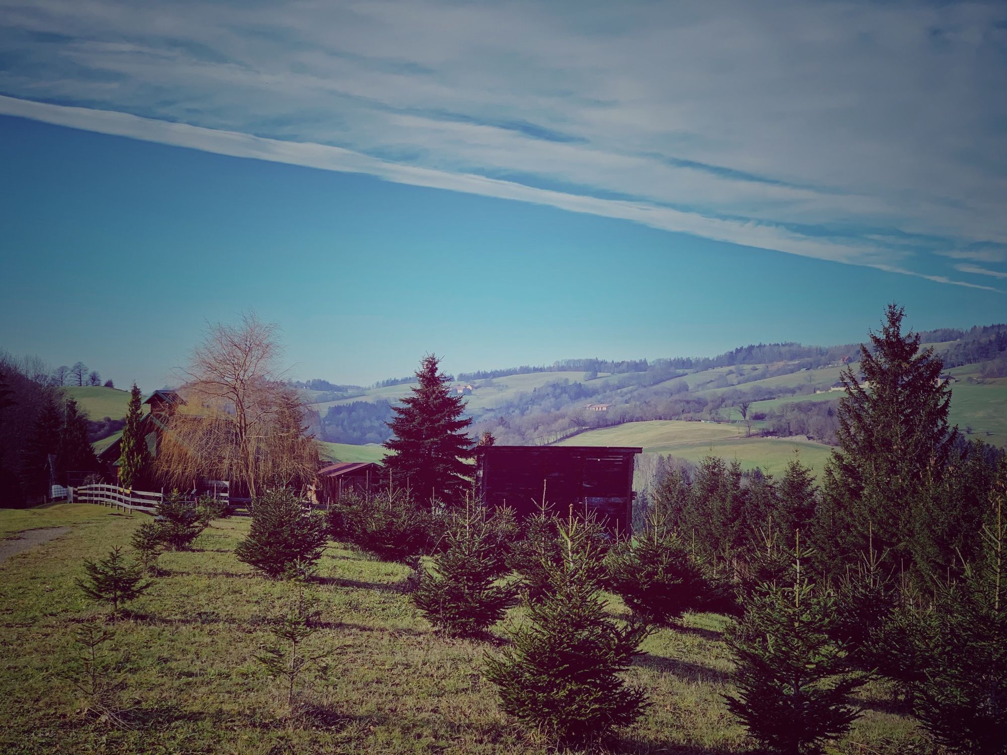
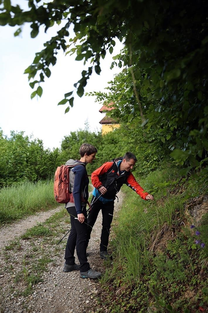
The well-known Mühlberg Chapel is located along the route.
Aktivity na trase


Oblíbené prohlídky v okolí
- 4,9
Hohenstein von Sois
středníTuristika 12,0 km - 4,7
Türnitz - Eisenstein Türnitz, Niederösterreich
středníTuristika 15,5 km - 4,6
Eisenstein Rundweg von Türnitz-Knedelhof
světloTuristika 10,2 km - 4,6
LILIENFELD Grünes Tor Muckenkogel Hinteralm Klosteralm 20201025
středníTuristika 11,7 km - 4,4
Hohenstein 1195m - Sois im Pielachtal
světloTuristika 10,6 km - 4,4
Kaiserkogel mit Start und Ziel in Eschenau
světloTuristika 10,2 km - 4,5
Rundweg Ochsenburgerhütte
světloTuristika 7,60 km - 4,3
Grüntalkogelhütte
světloTuristika 5,11 km - 4,7
Kaiserkogel
světloTuristika 6,03 km - 4,8
Schrambach Hohenstein Himmel Schrammbach 06.08.2016
středníTuristika 17 km
Pěší turistika a stopování


Nenechte si ujít nabídky a inspiraci pro vaši příští dovolenou
Vaše e-mailová adresa byl přidán do poštovního seznamu.