






Great Kamptal tour: from Rosenburg via Steinegg to Wegscheid

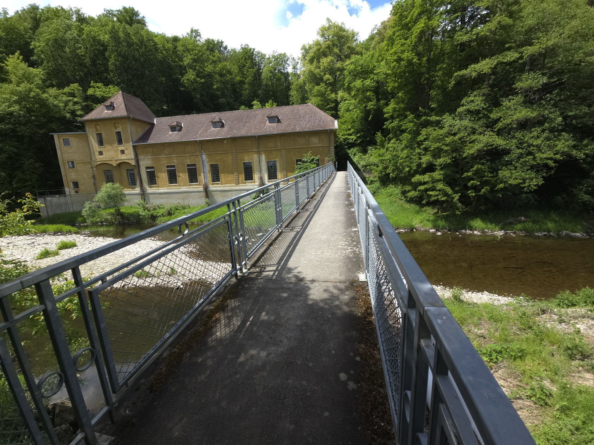
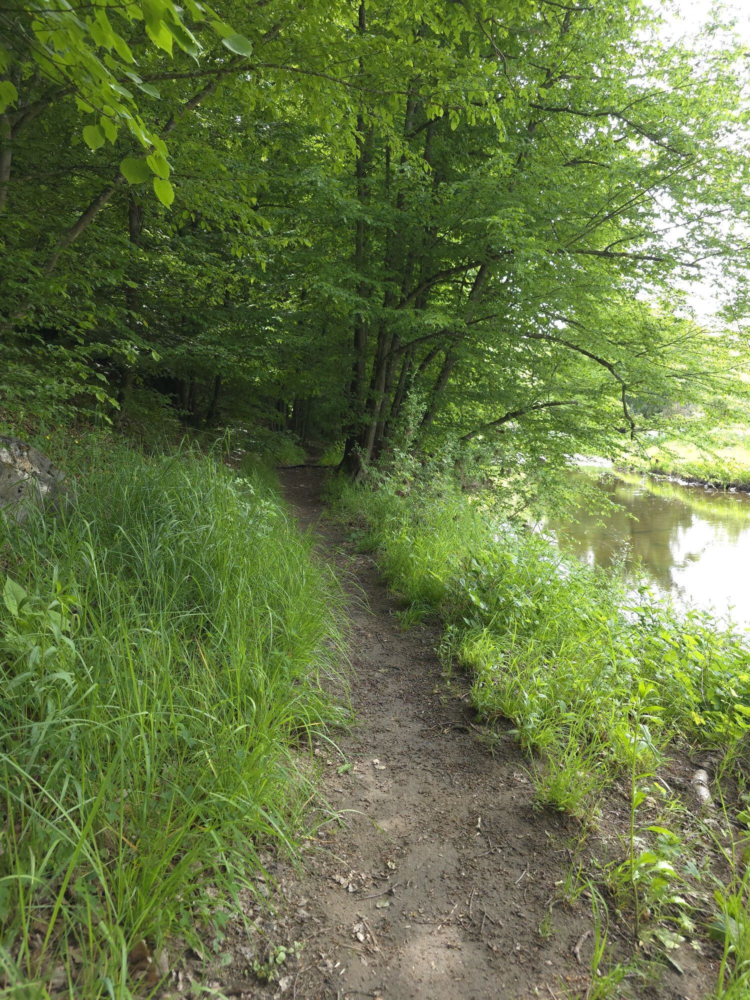
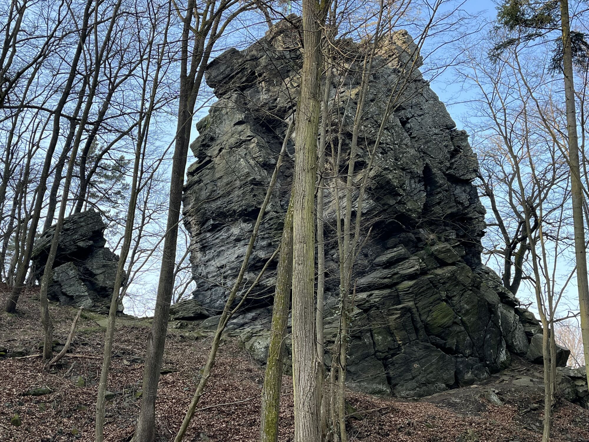

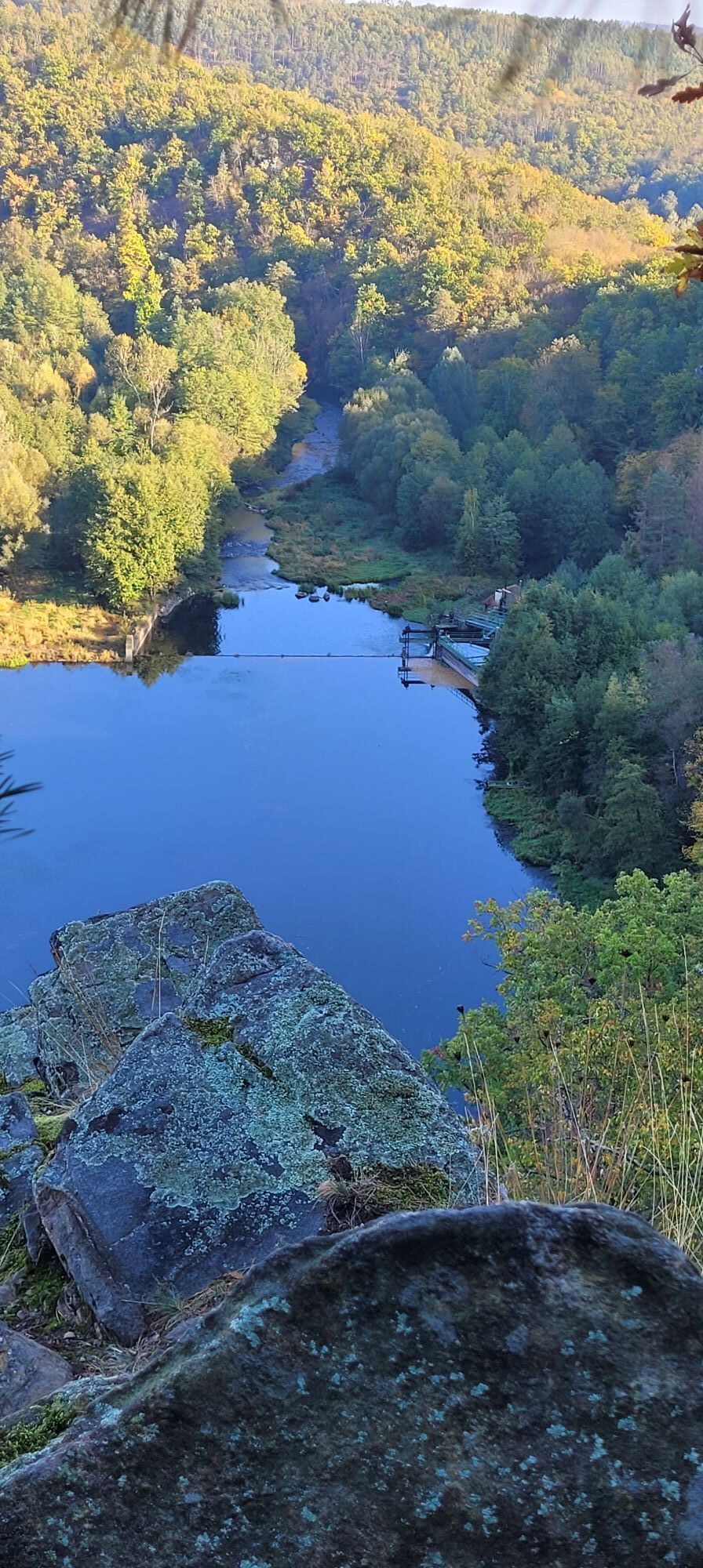
The hike begins at the end of an access road to the power station below the Rosenburg (the access road is currently closed ‘due to network expansion’, but I saw many cars parked just before the power station)....
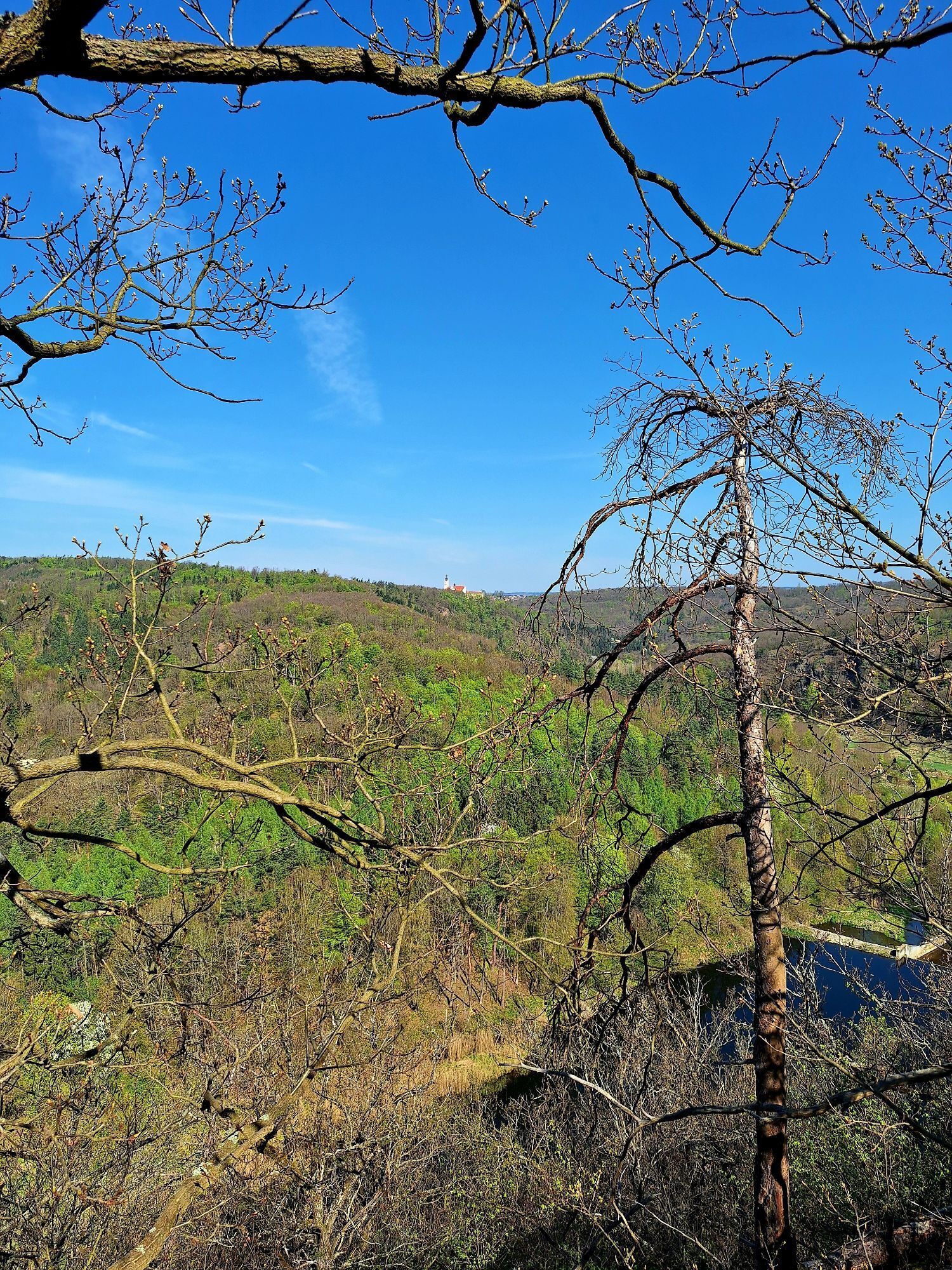
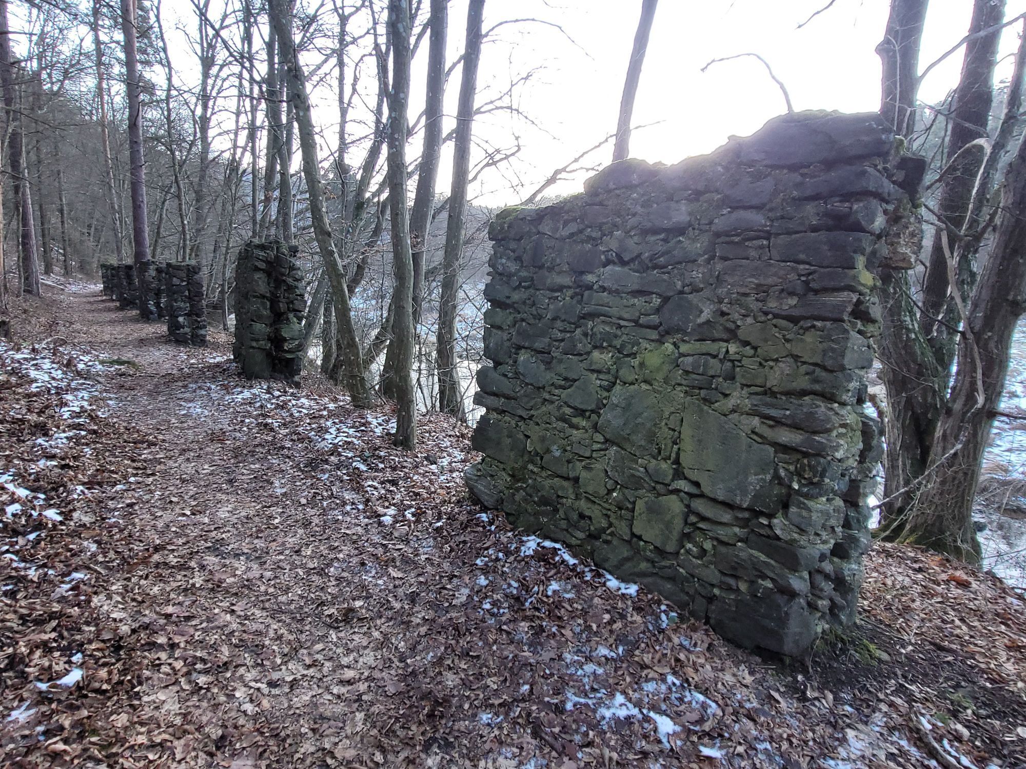
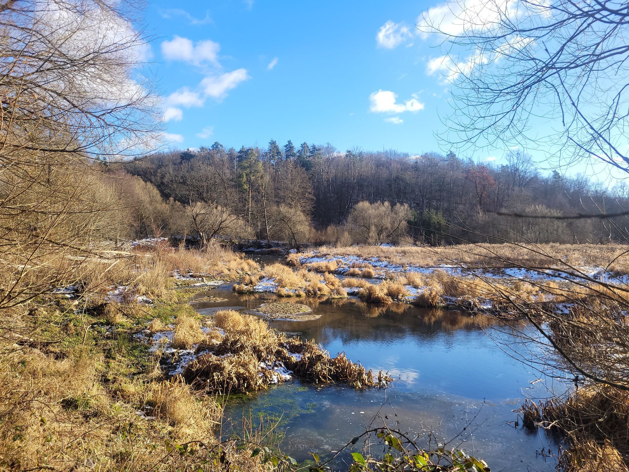
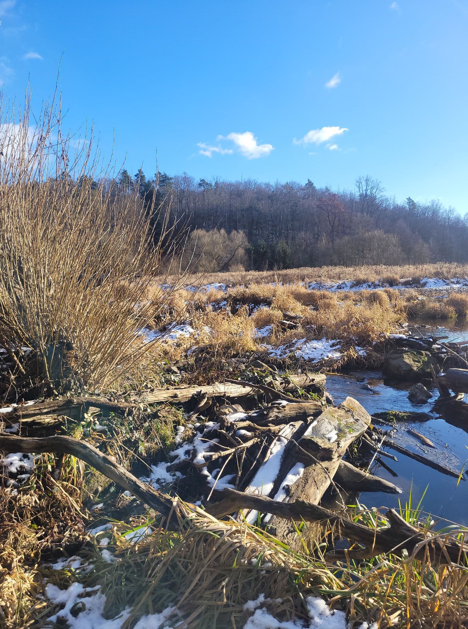
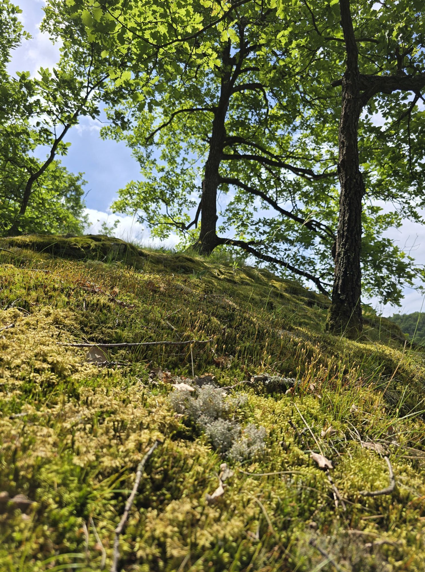
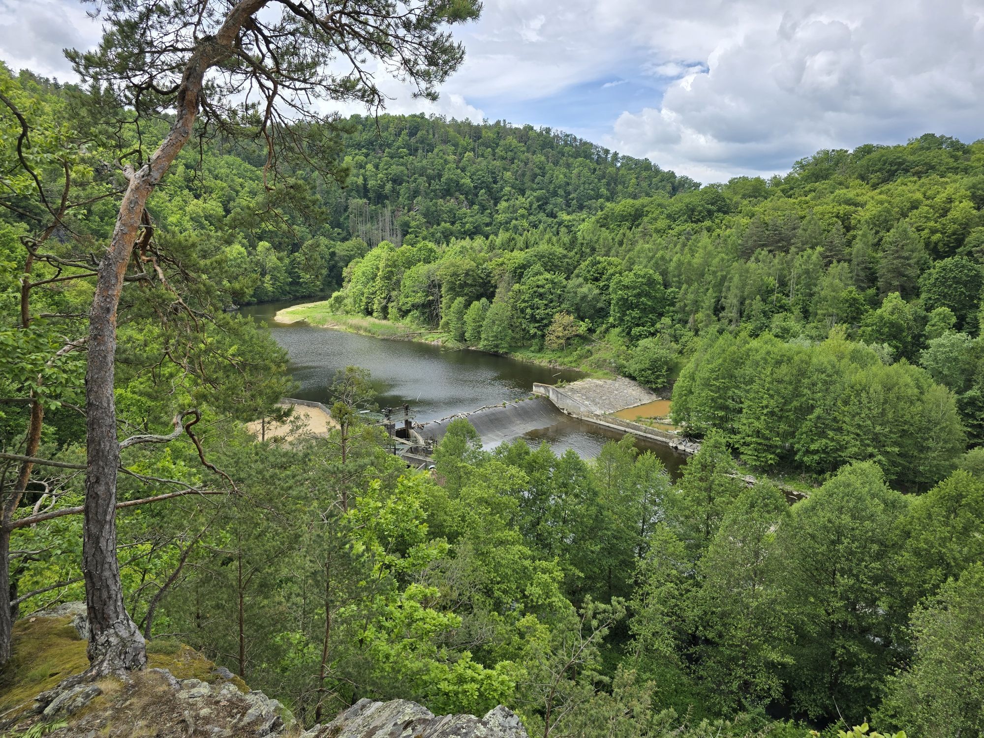
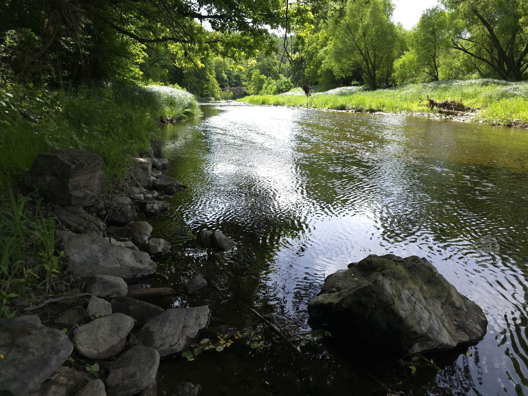
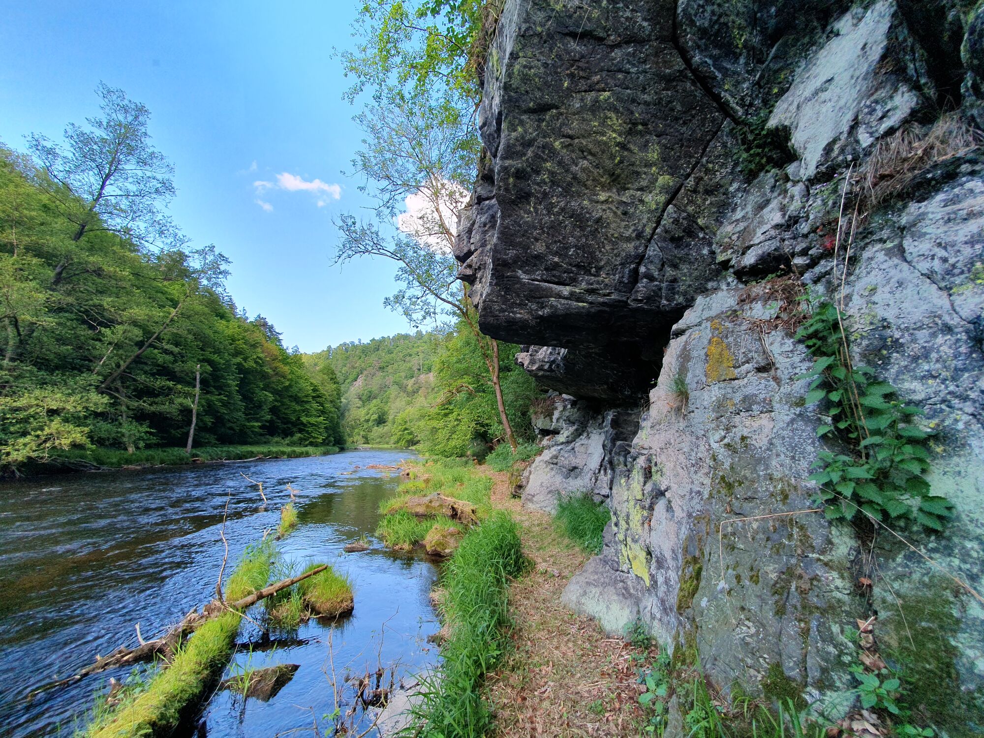
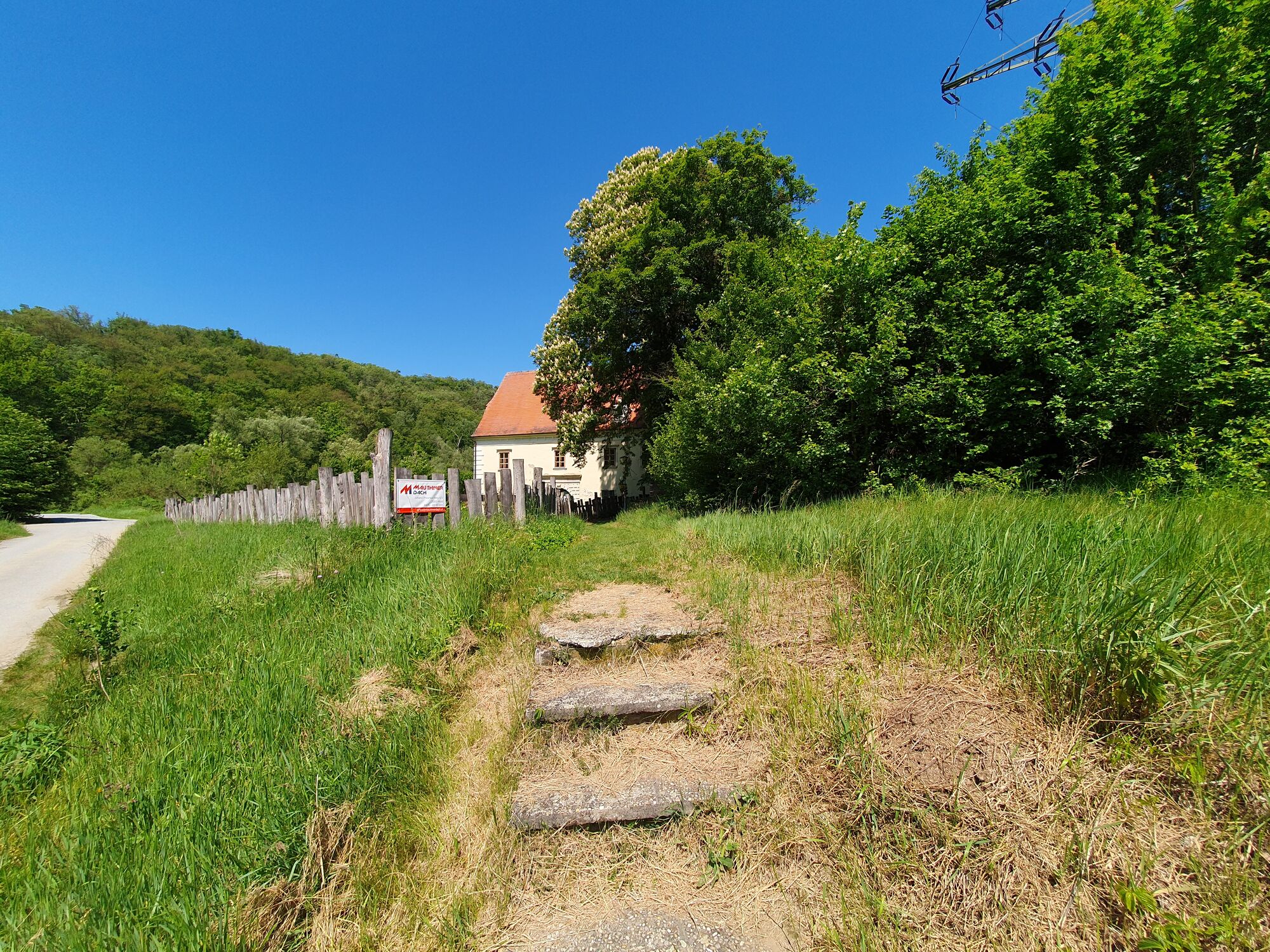
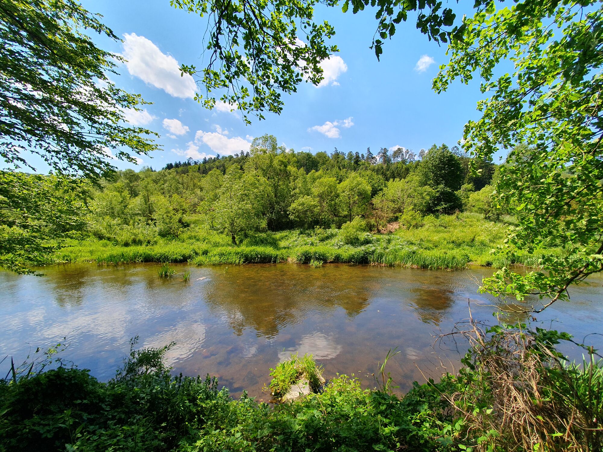
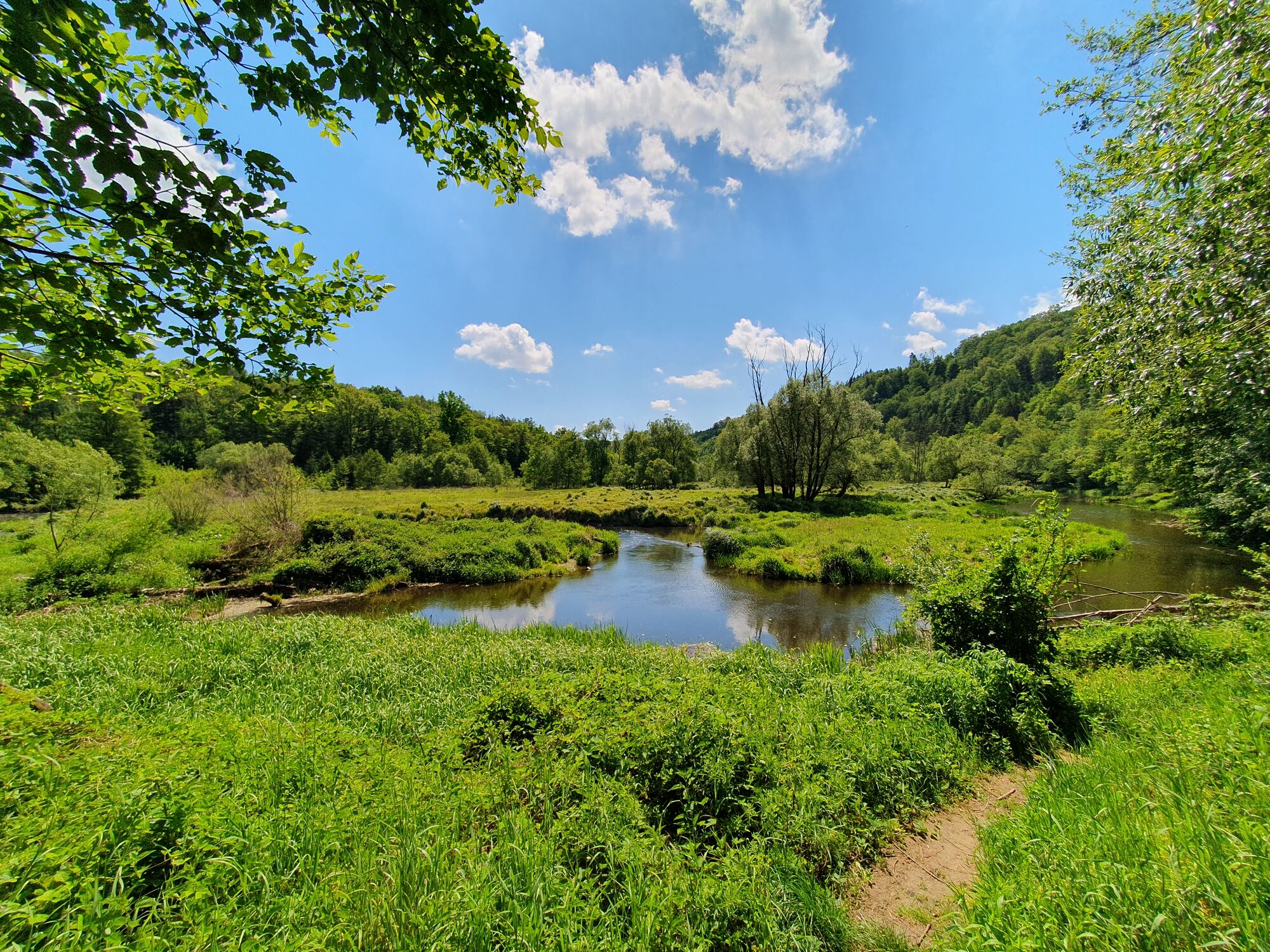
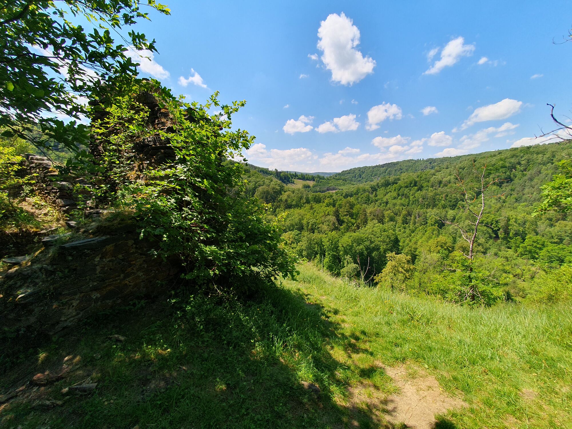
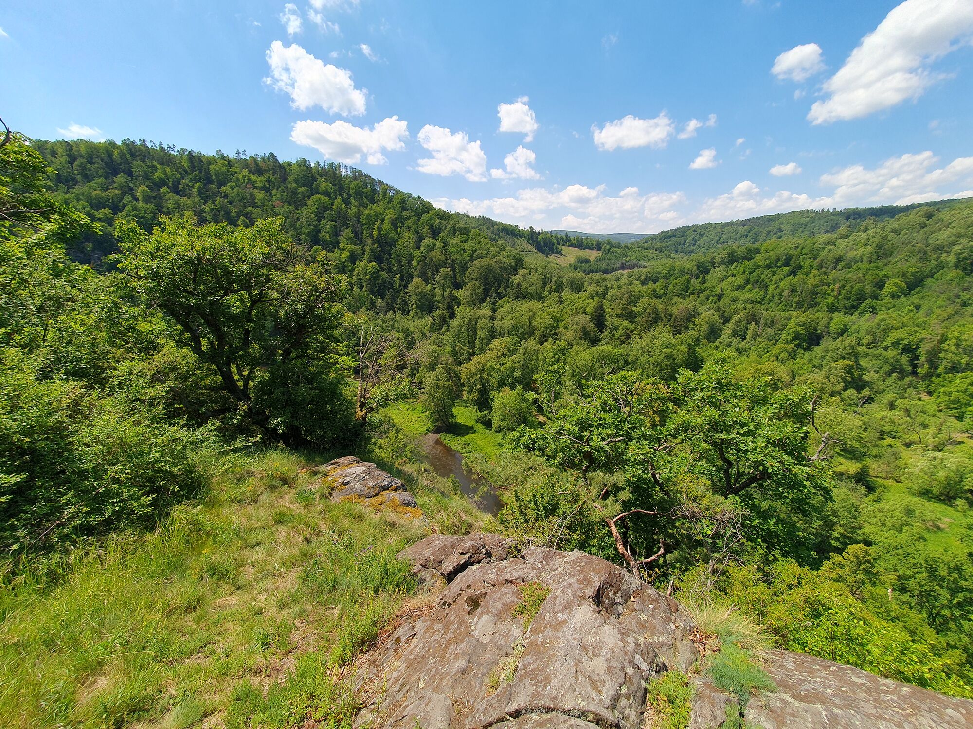
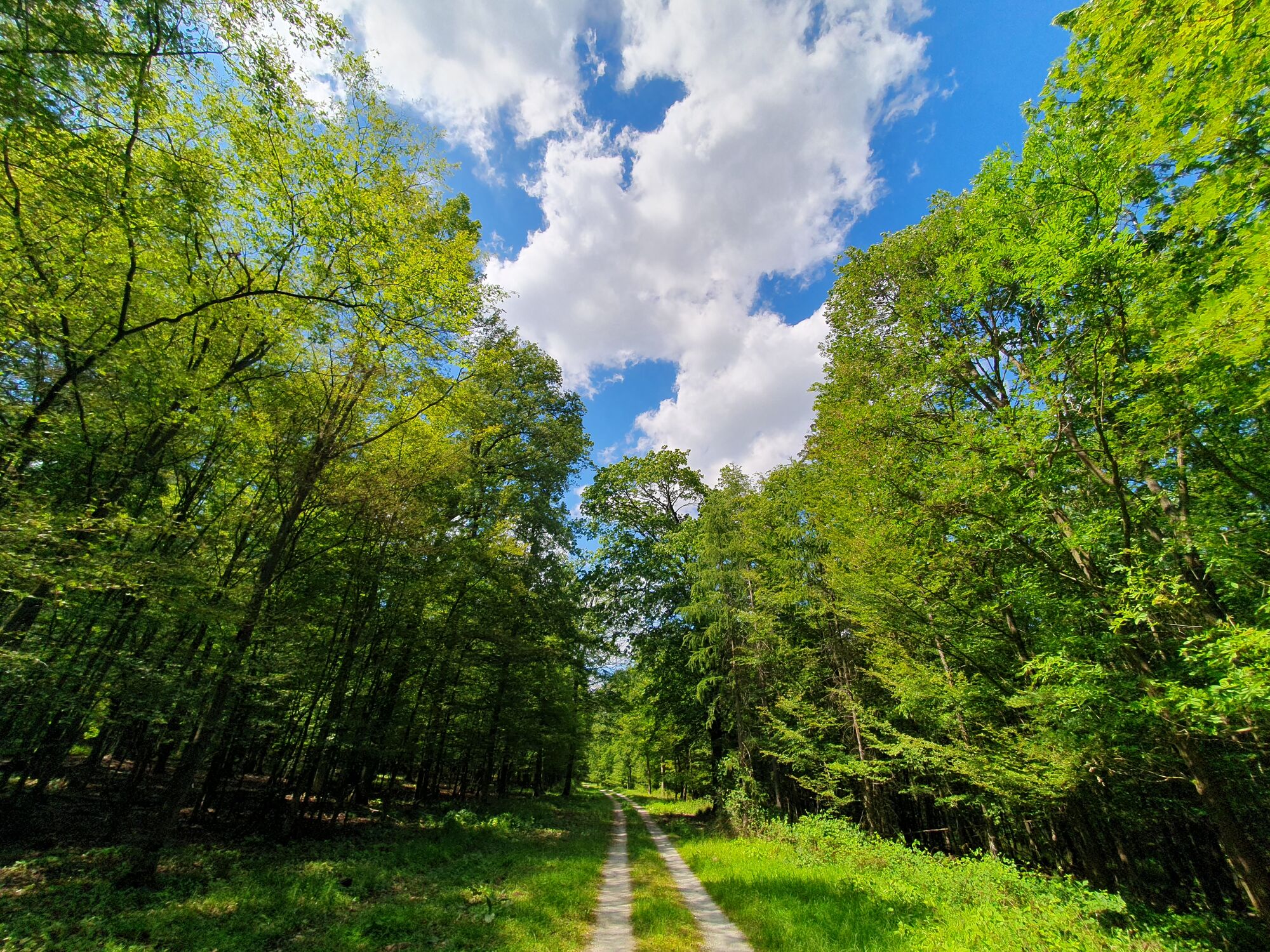
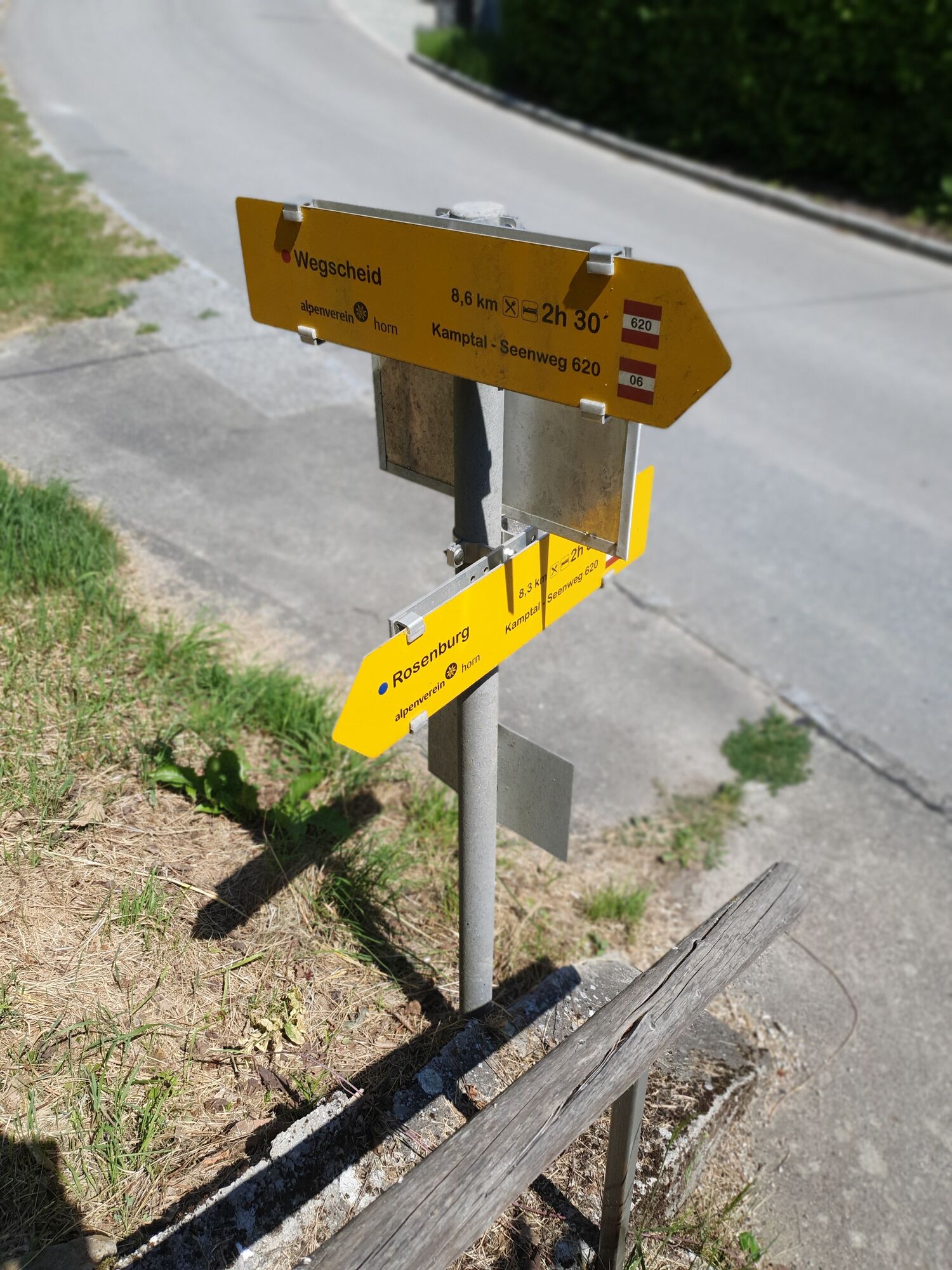
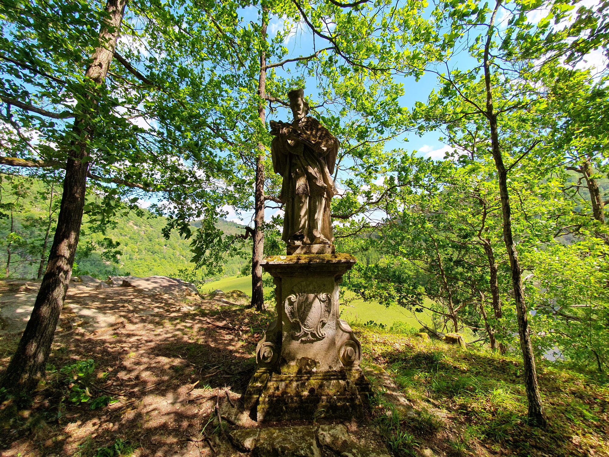
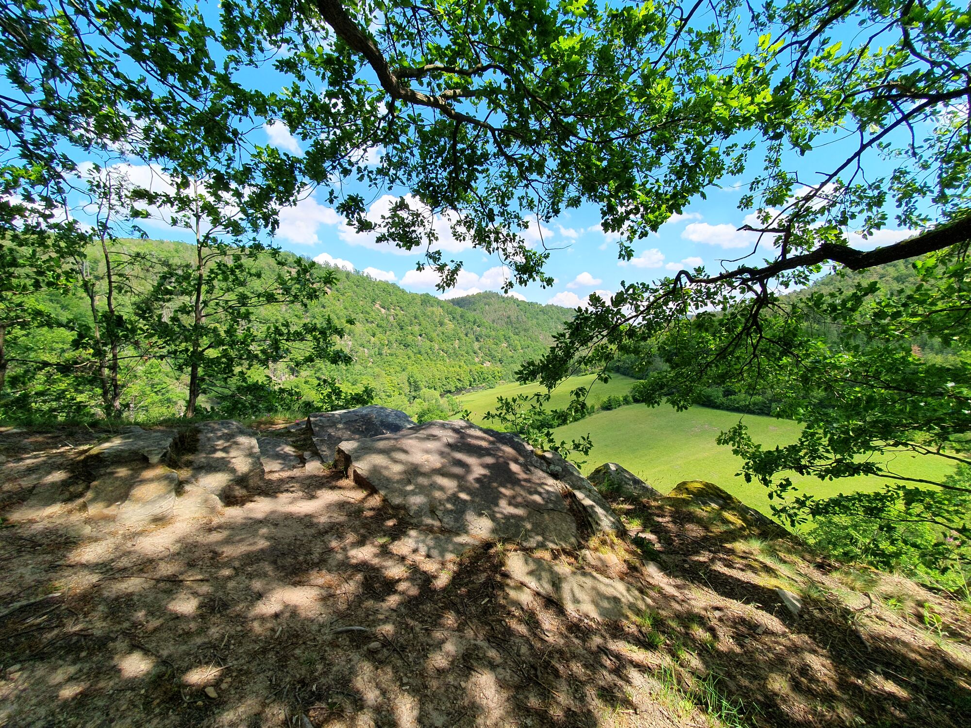
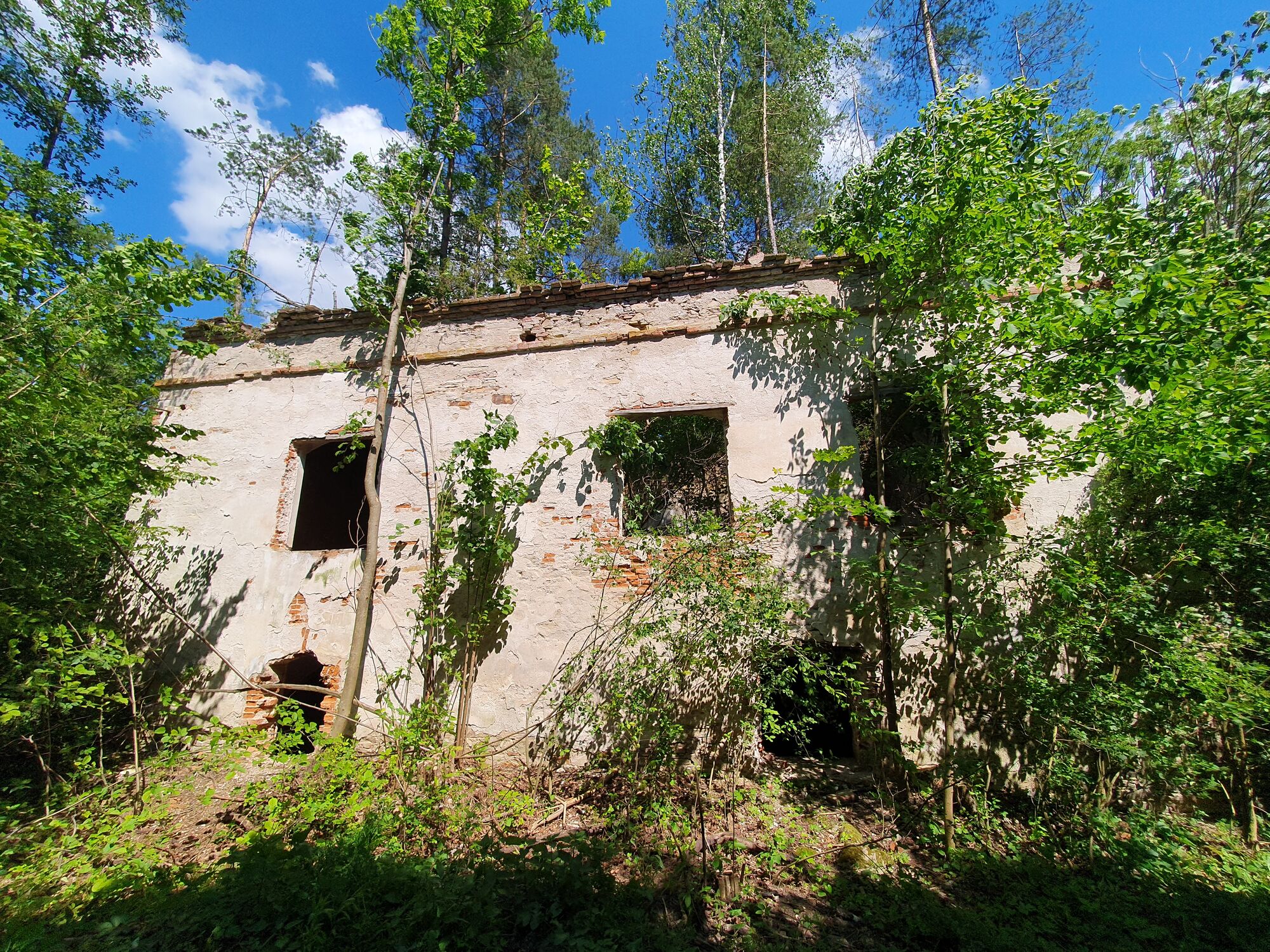
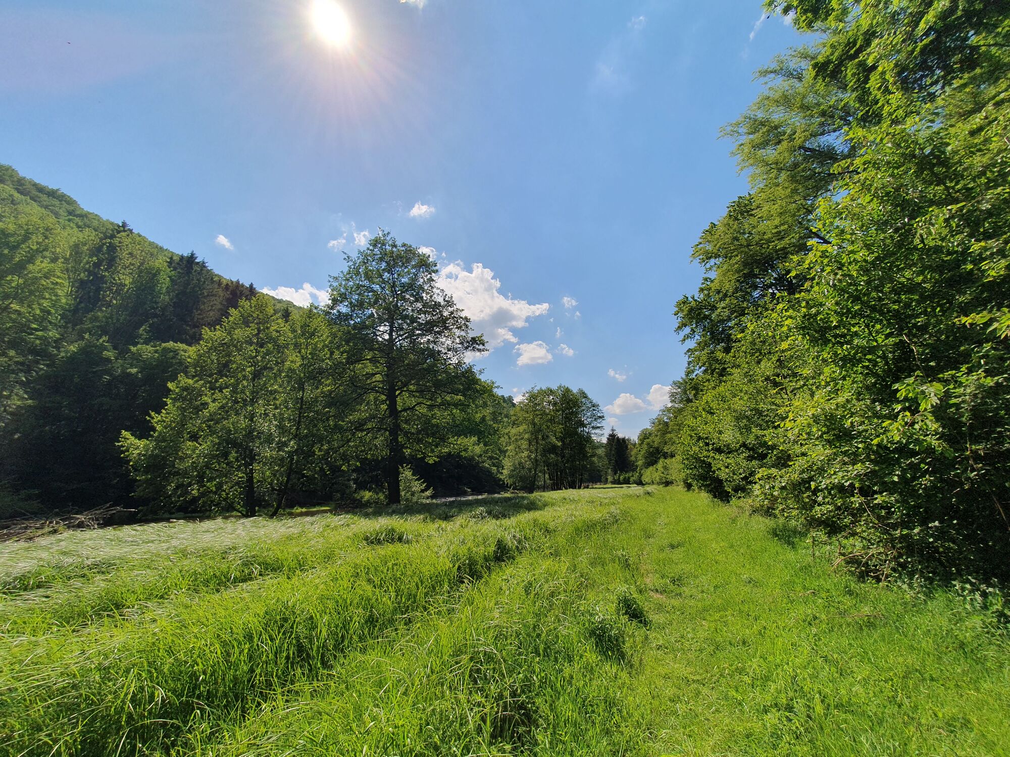
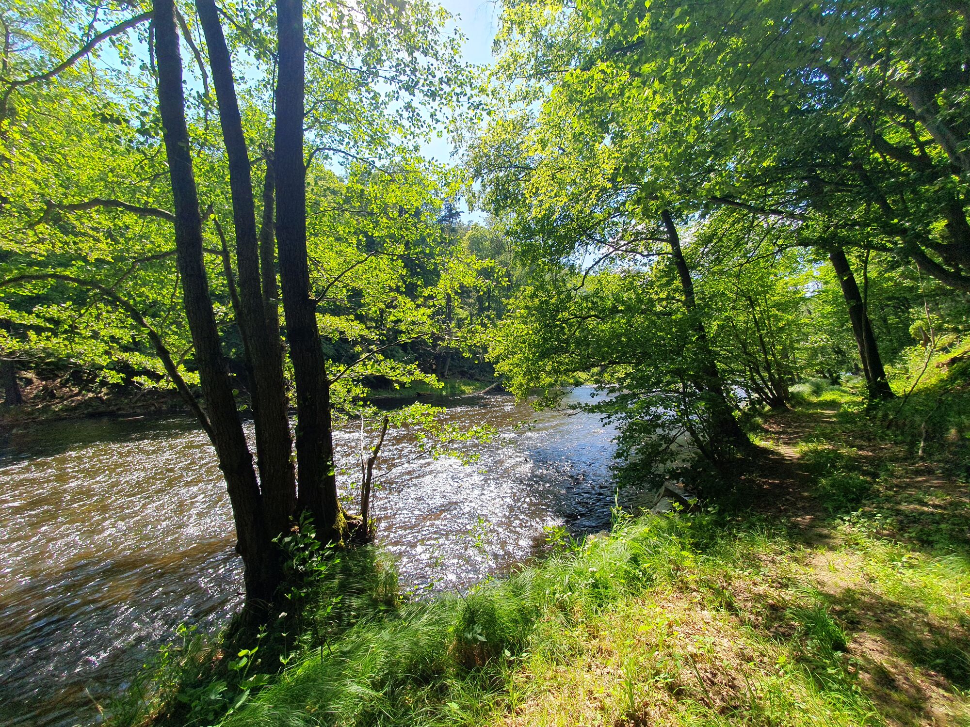
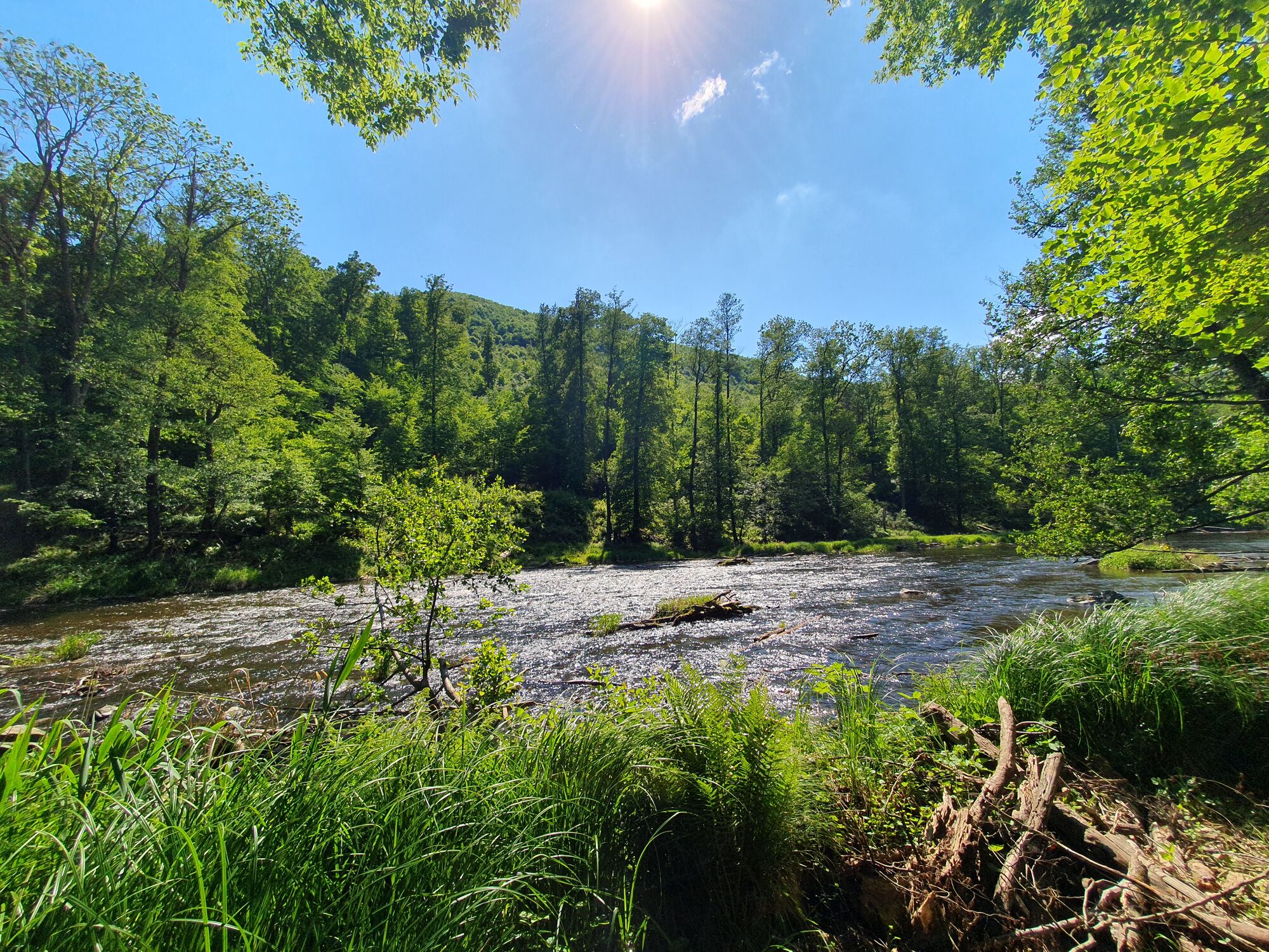
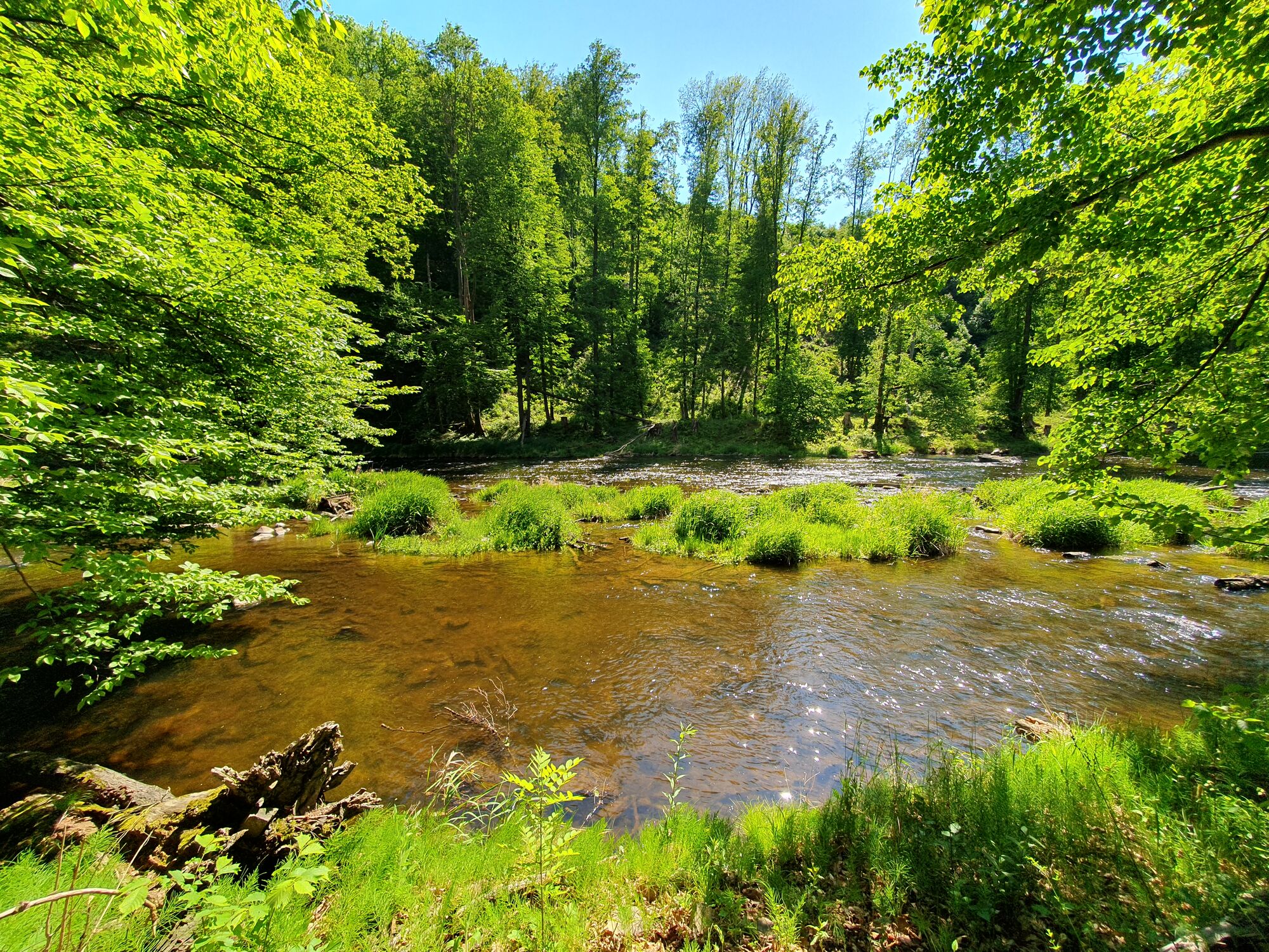
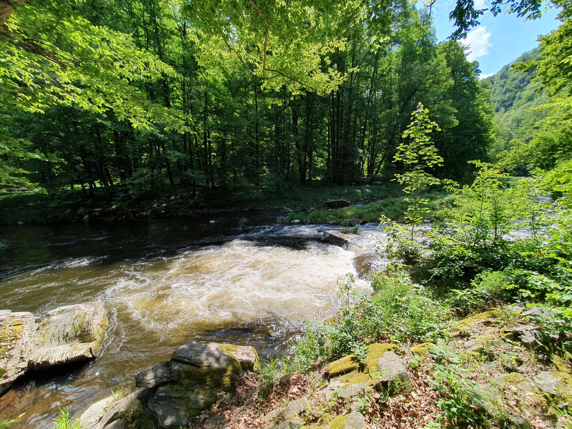
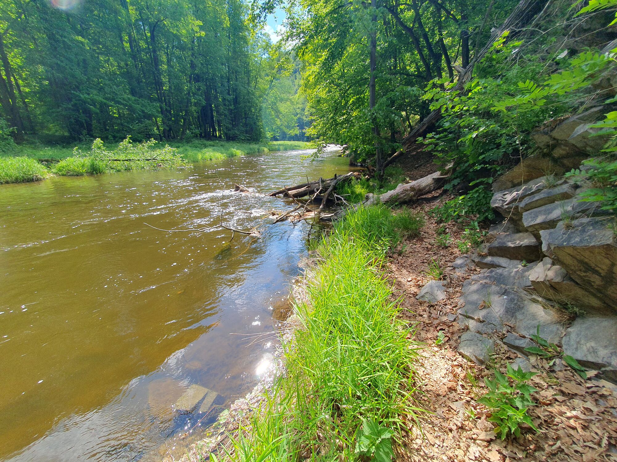
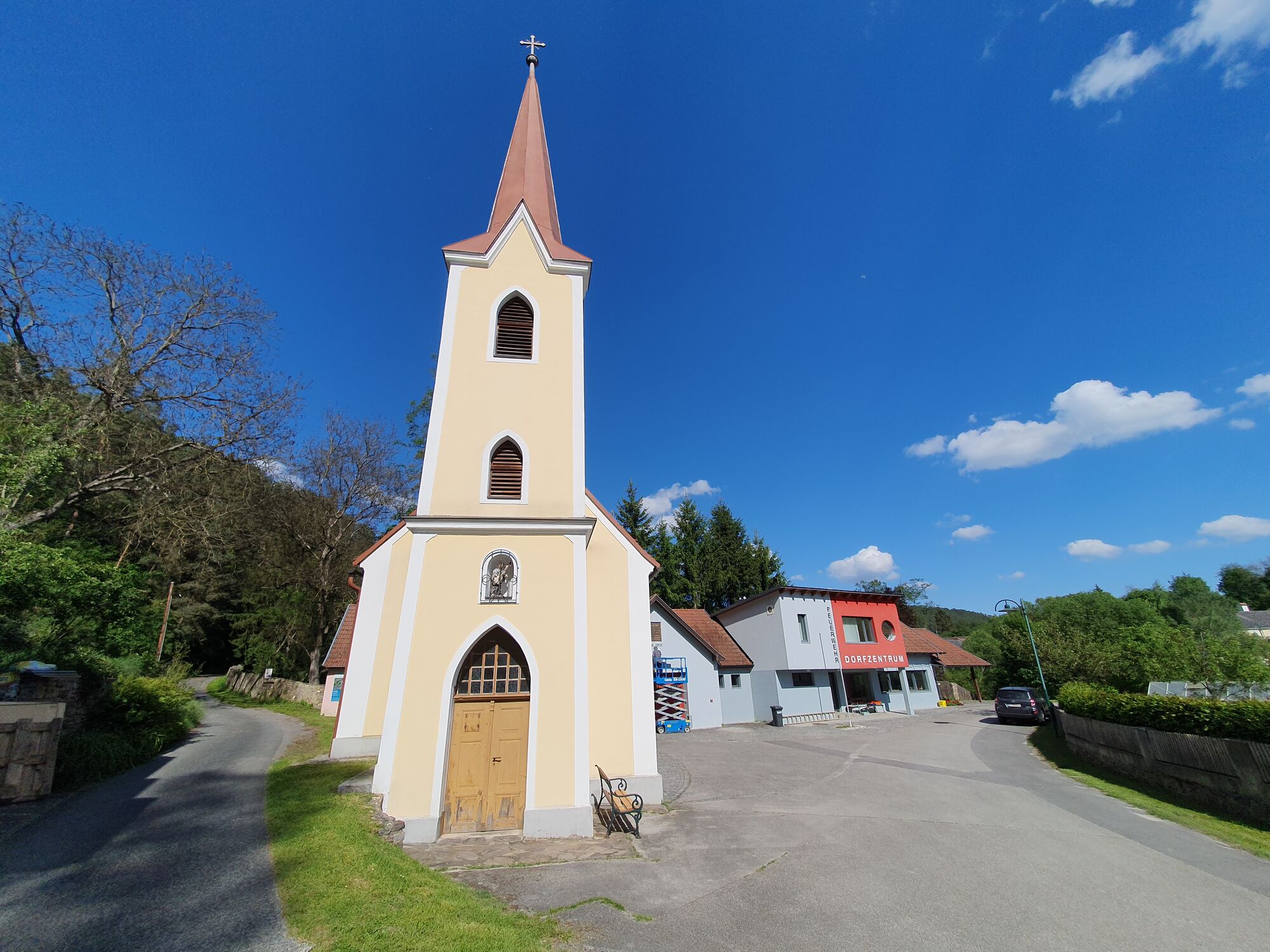
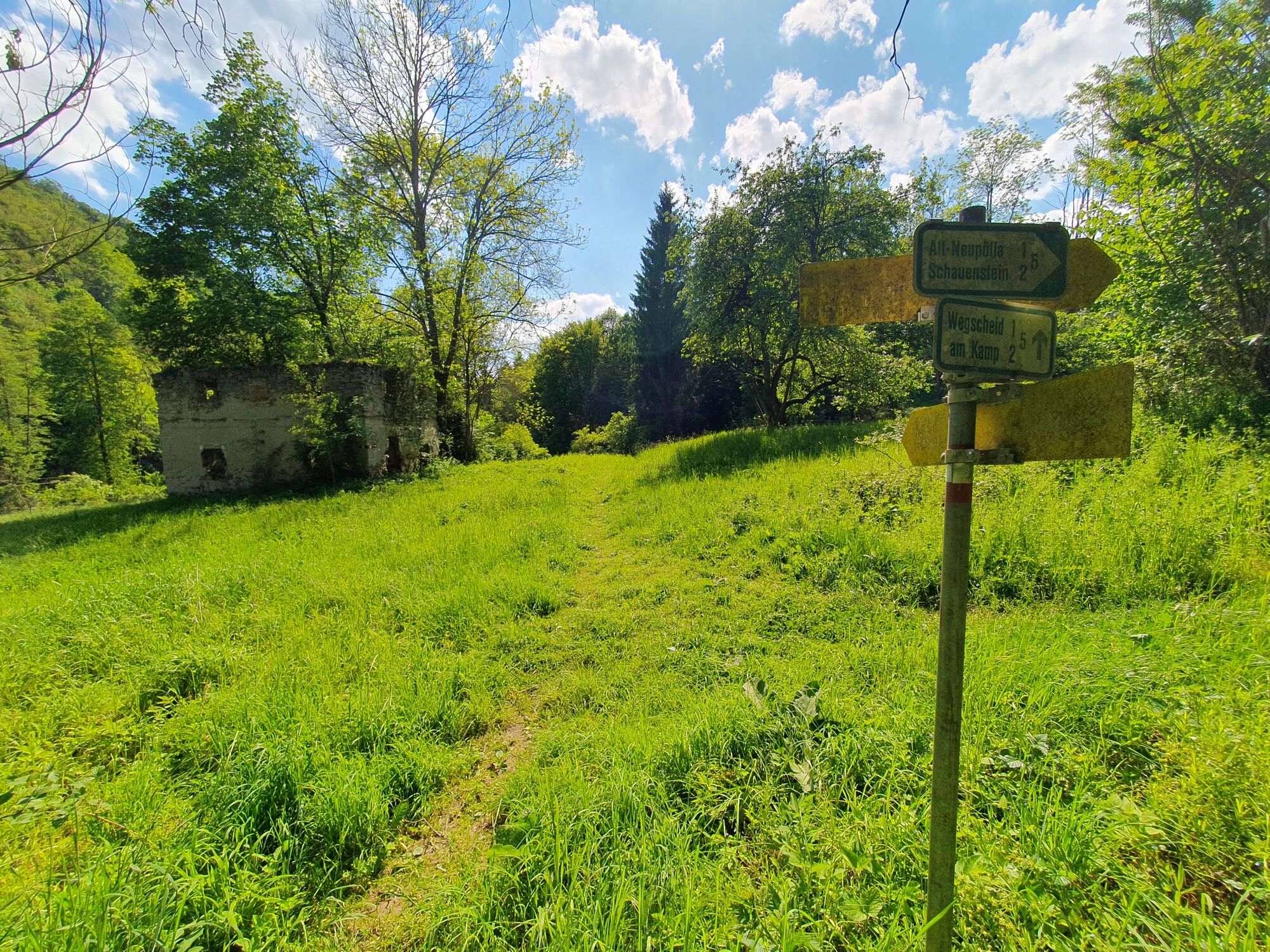
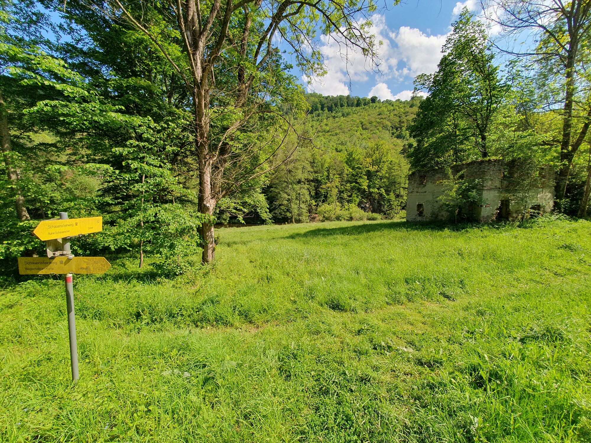
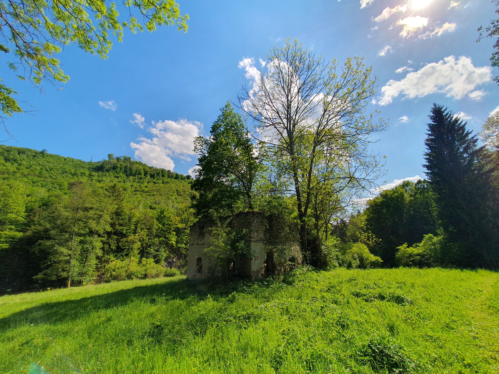
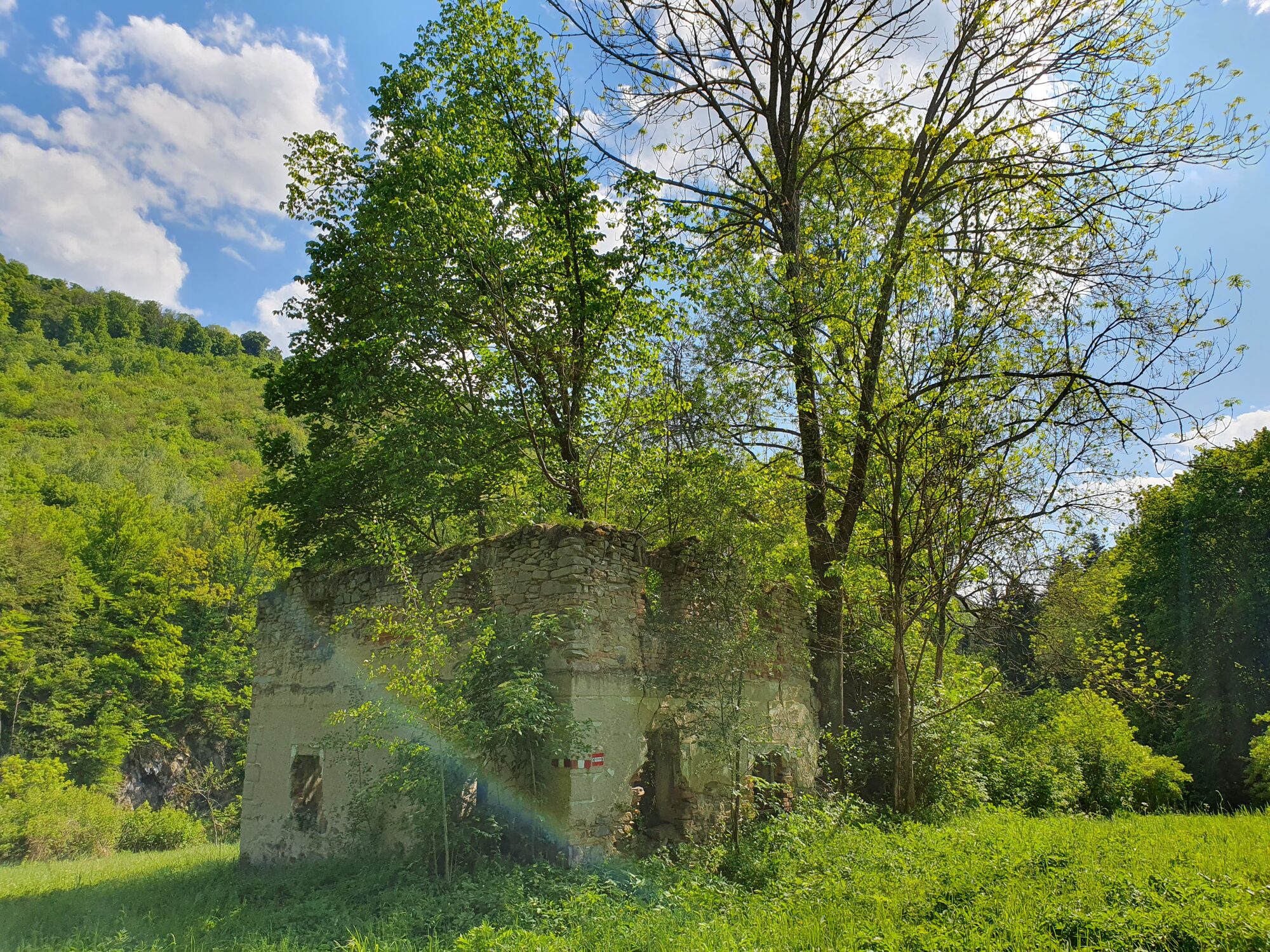
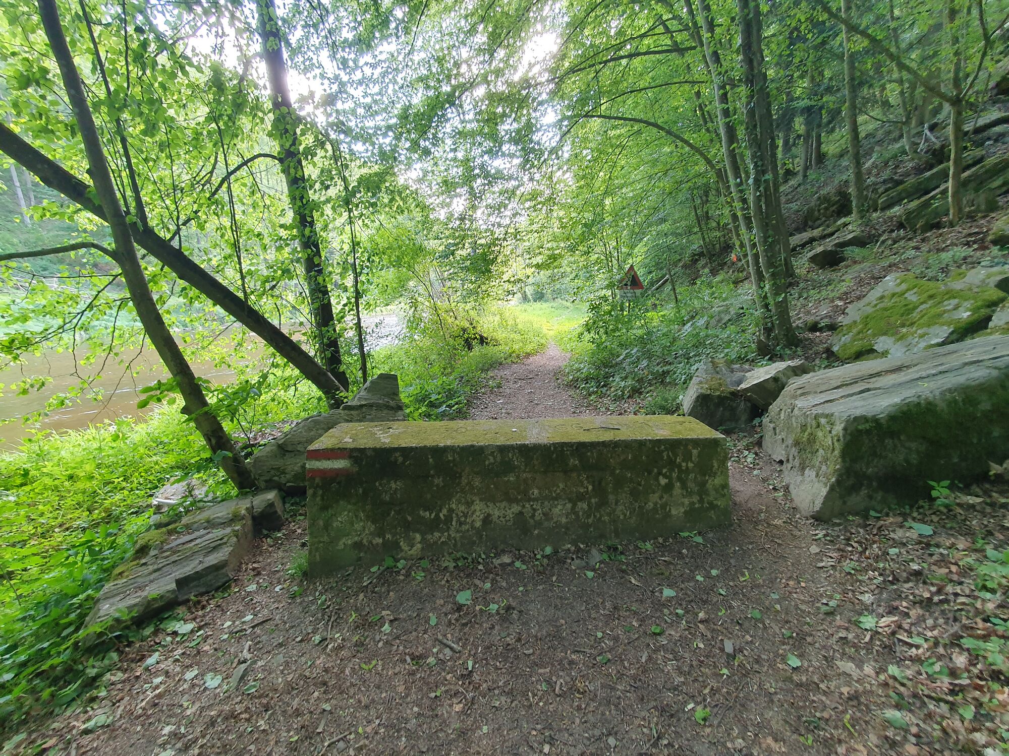
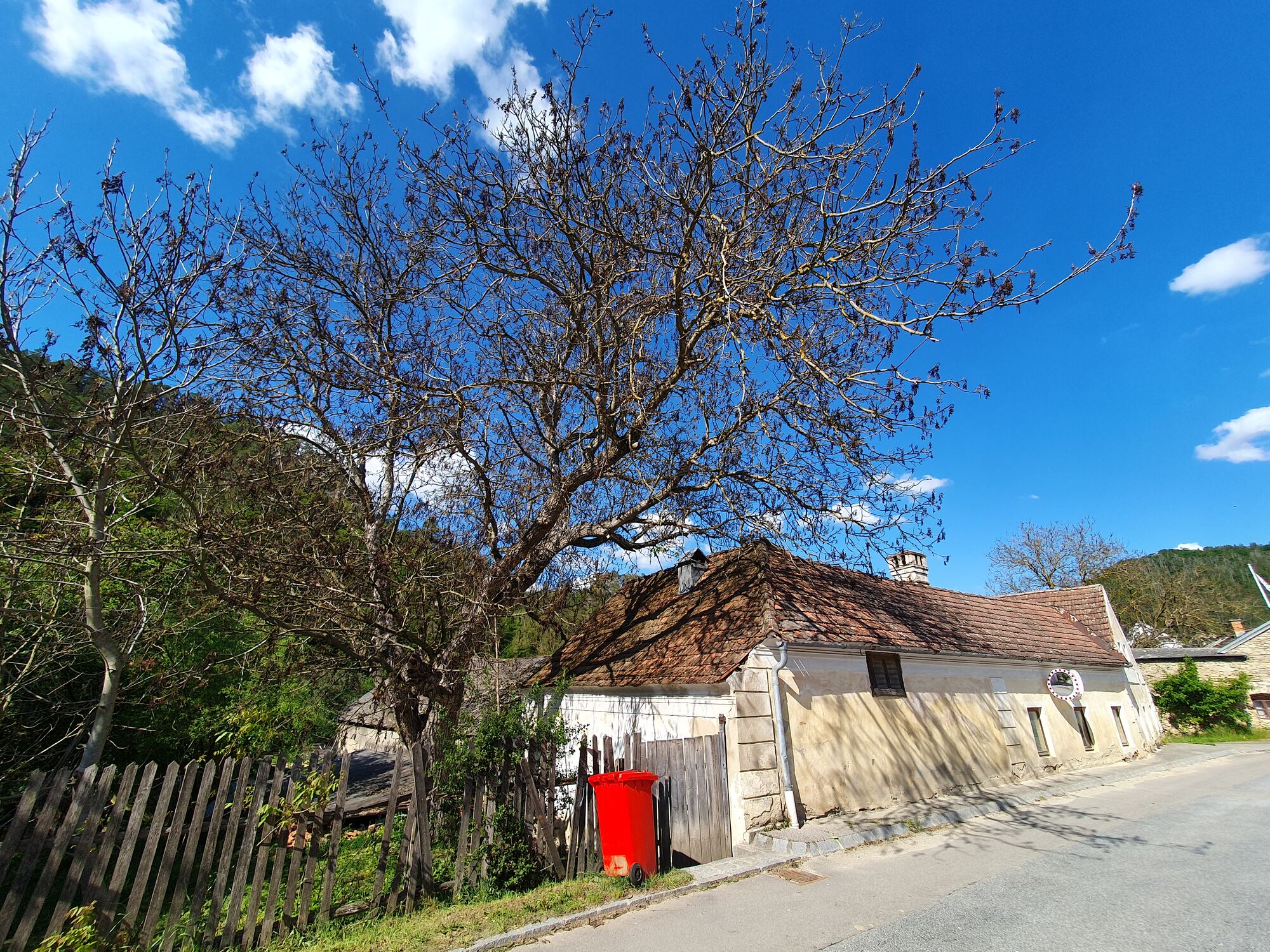
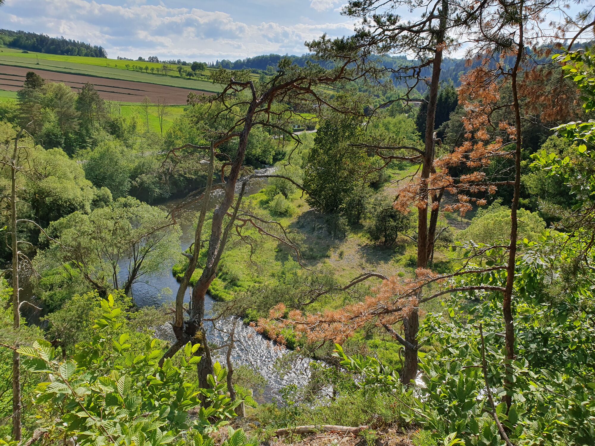
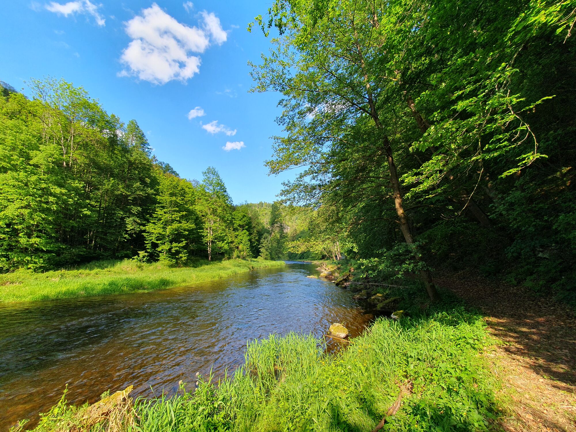
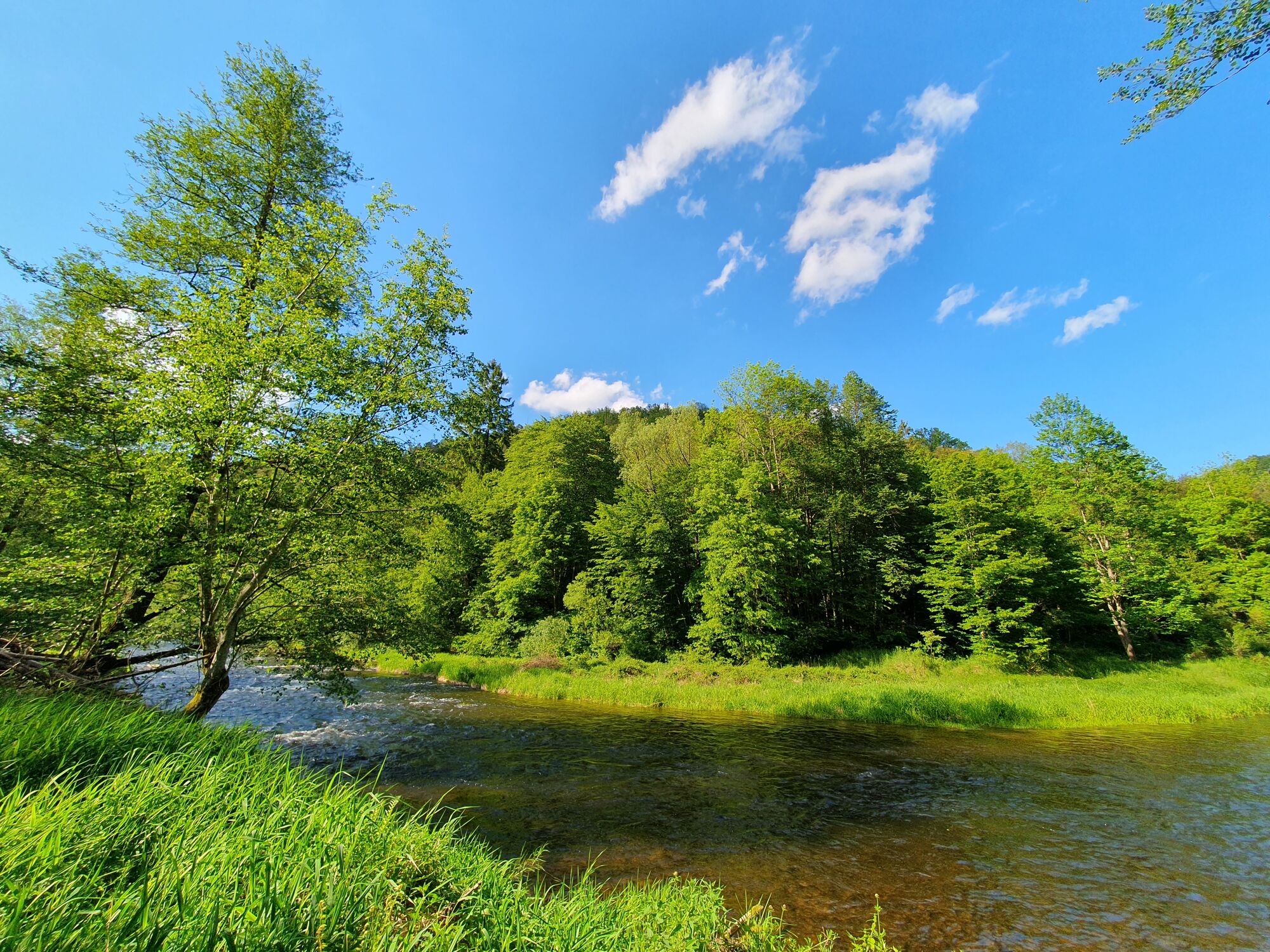
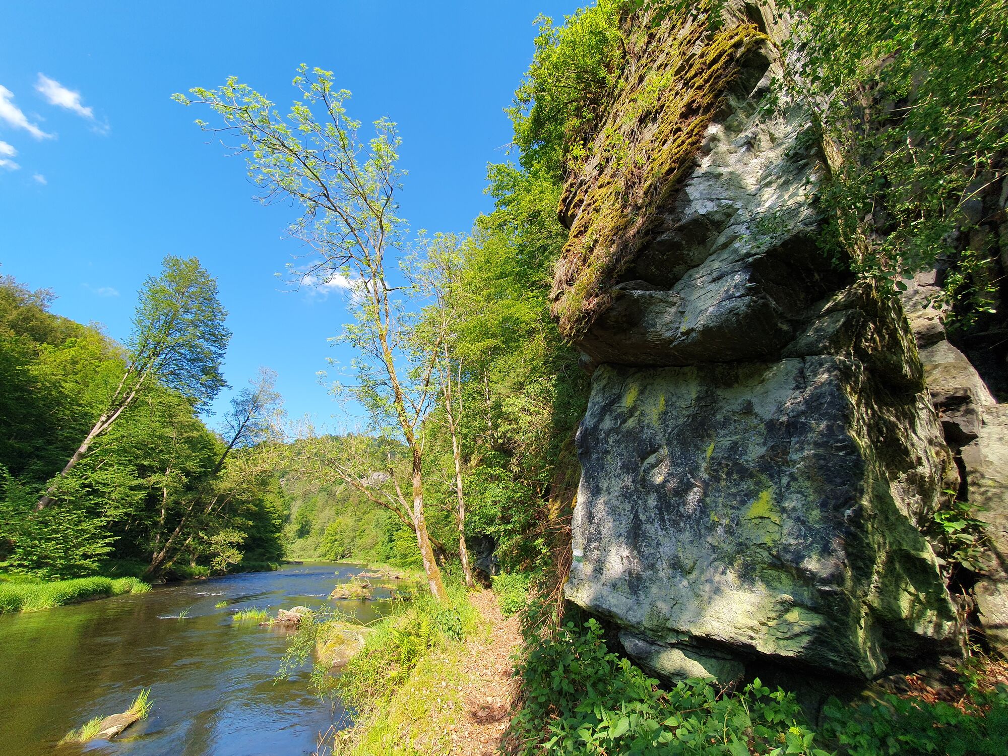
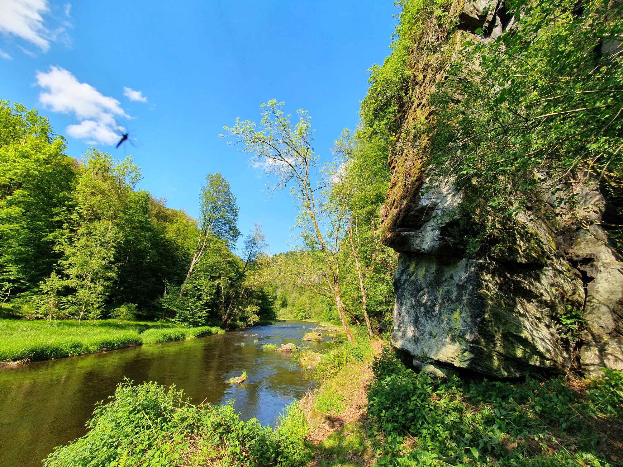
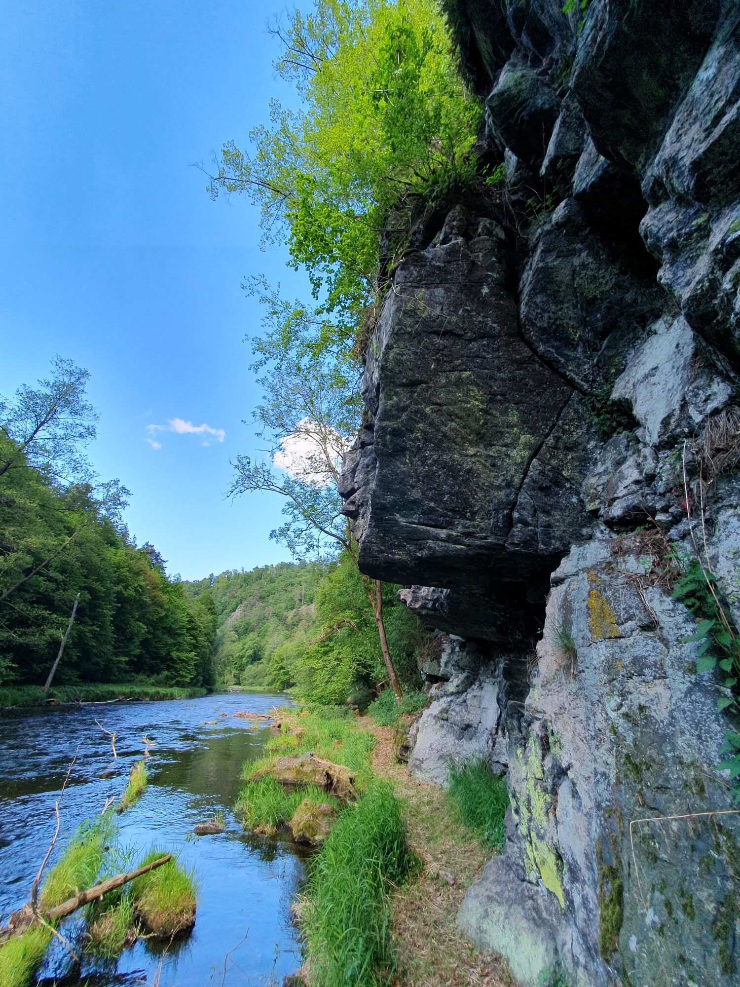
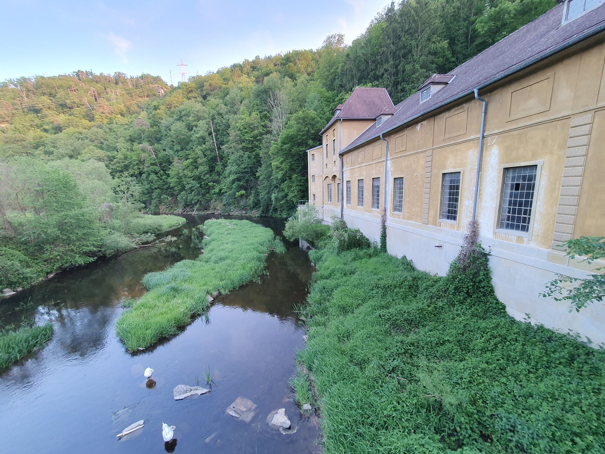
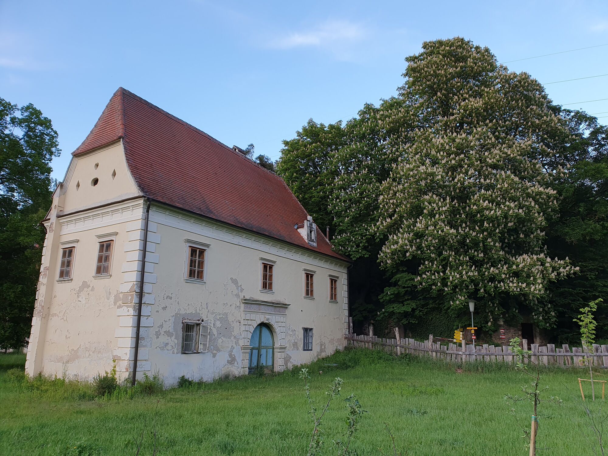
The hike begins at the end of an access road to the power station below the Rosenburg (the access road is currently closed ‘due to network expansion’, but I saw many cars parked just before the power station). You climb a small flight of stone steps and pass right next to an old house. Immediately afterwards you will see the Kamp, which you now follow for a while until you reach the barren castle (junction that leads back to the path). Then follow the dirt and stone road for quite a while in the direction of Steinegg, first up to the plateau and then down a forest road to Steinegg. Cross the village and turn towards Wegscheid. The path first follows the edge of the forest, then meadows, and meanders along the Kamp to a beautiful vantage point with a slightly dilapidated statue of a saint. This place invites you to linger and rest. The route continues, first up along the Kamp, then down through meadows and forests to Wegscheid. Those who are particularly fit can make a ‘detour’ to the Schauenstein castle ruins in between.
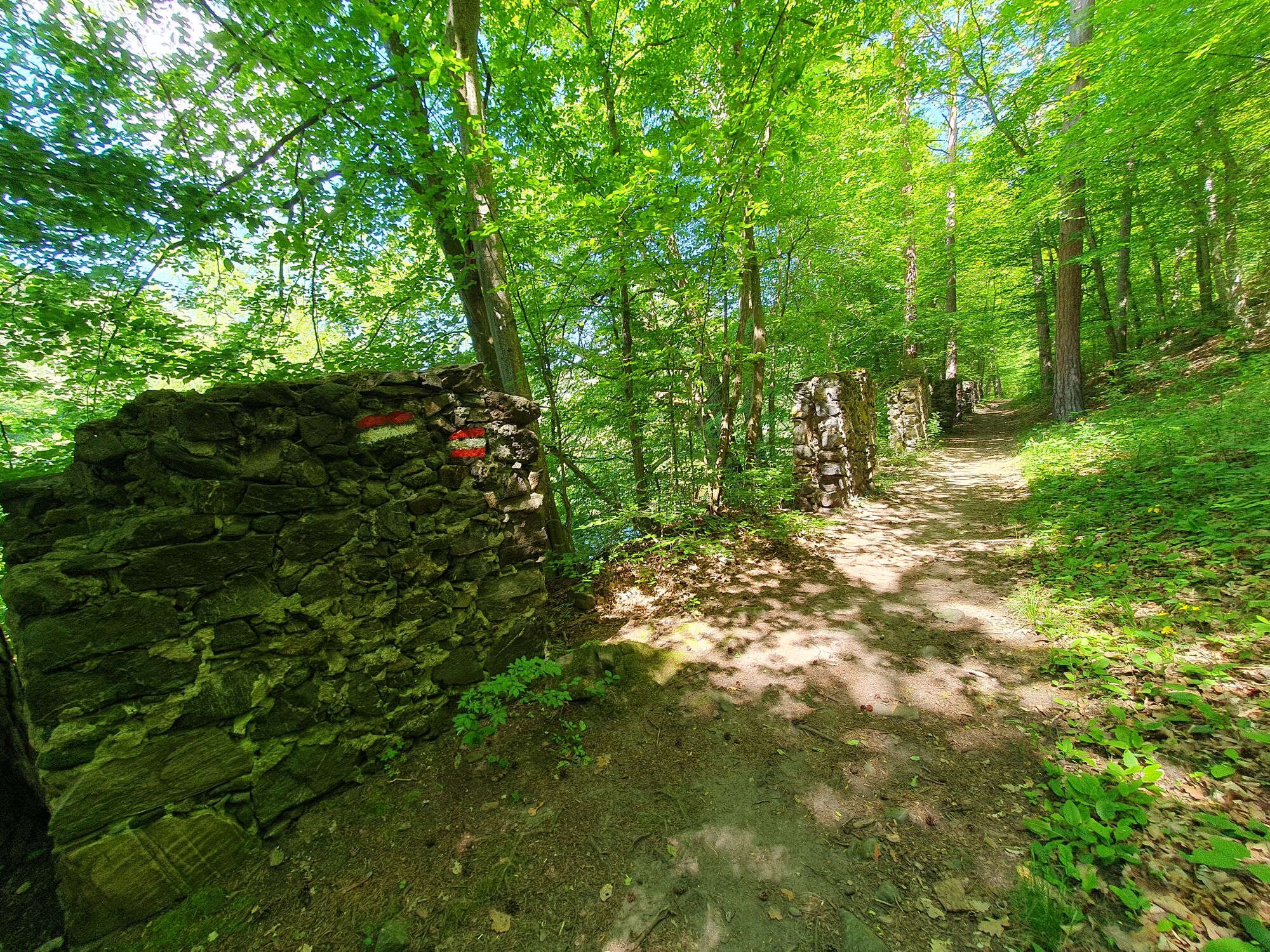
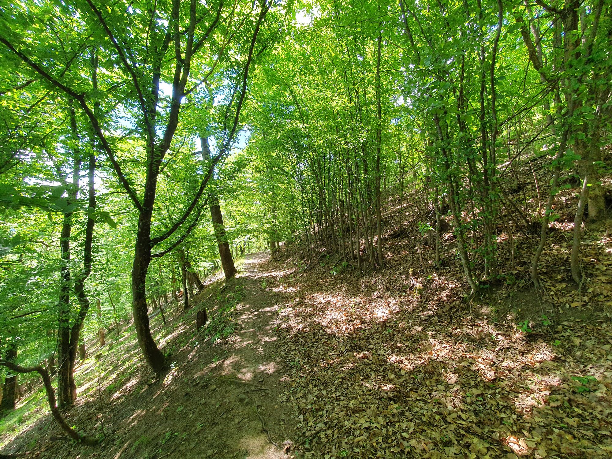
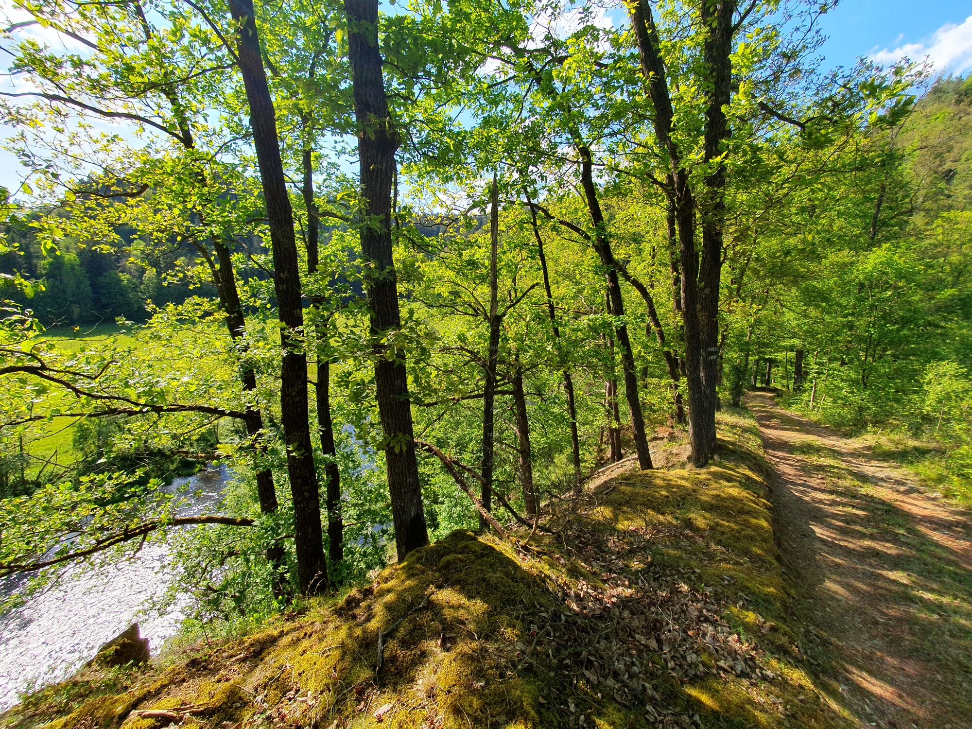
In Wegscheid, you cross the Kamp bridge and walk briefly along the tarmac road, which you soon leave and climb a hill on the other (south) side of the Kamp, and then back down to the river. After a short romantic walk, you cross a small stream over a new (2024) bridge and turn onto a forest path towards St. Leonhart. The way there is arduous and difficult. From St. Leonhart, the route follows poorly marked paths to the Wanzenau pond. You then head back towards Kamp and cover the rest of the way high above the river on a forest path with various viewpoints. Finally, you cross a bridge at the power station below the Rosenburg and walk towards the car, quite exhausted (as long as they still exist, as of 2024).

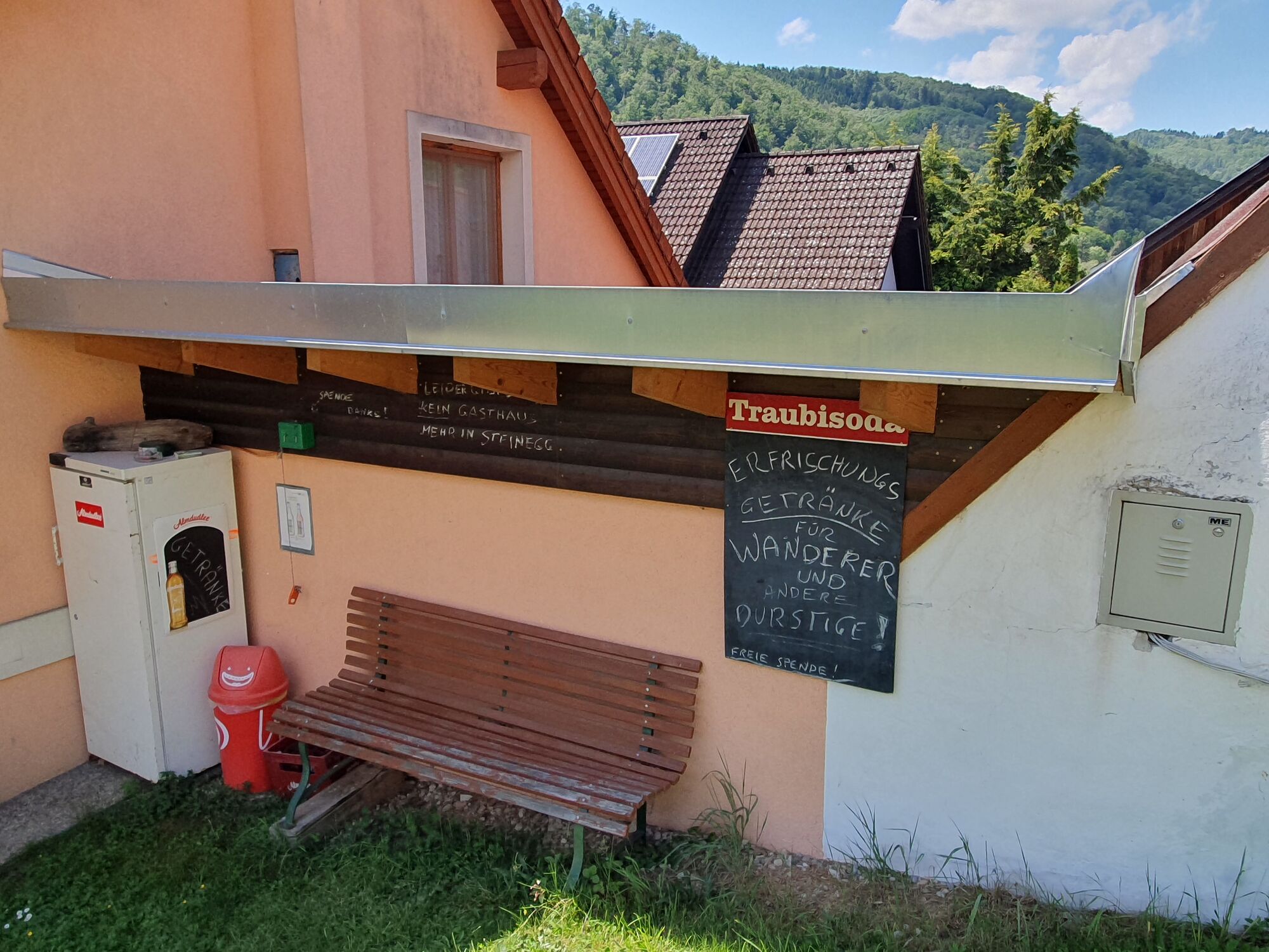
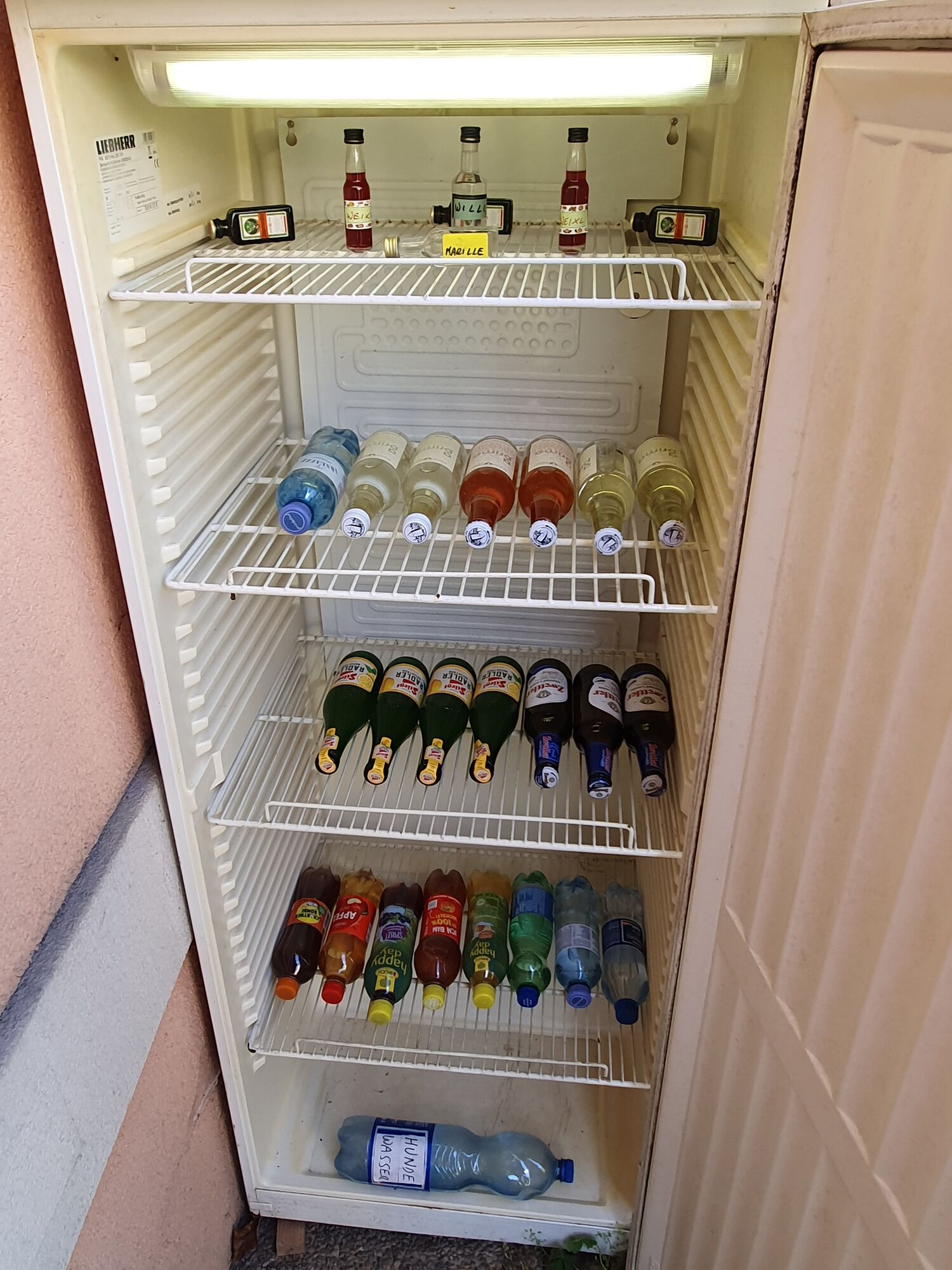
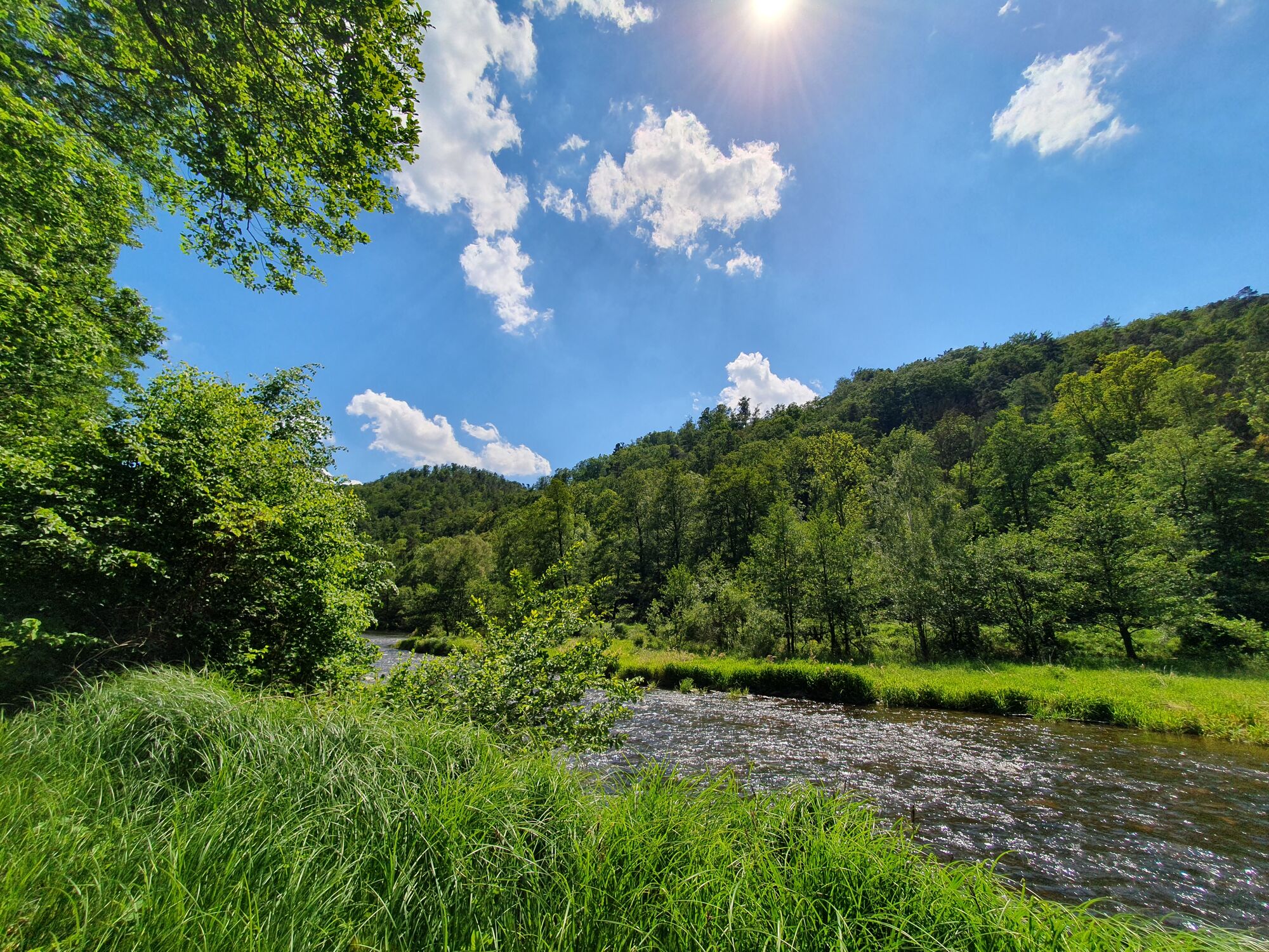
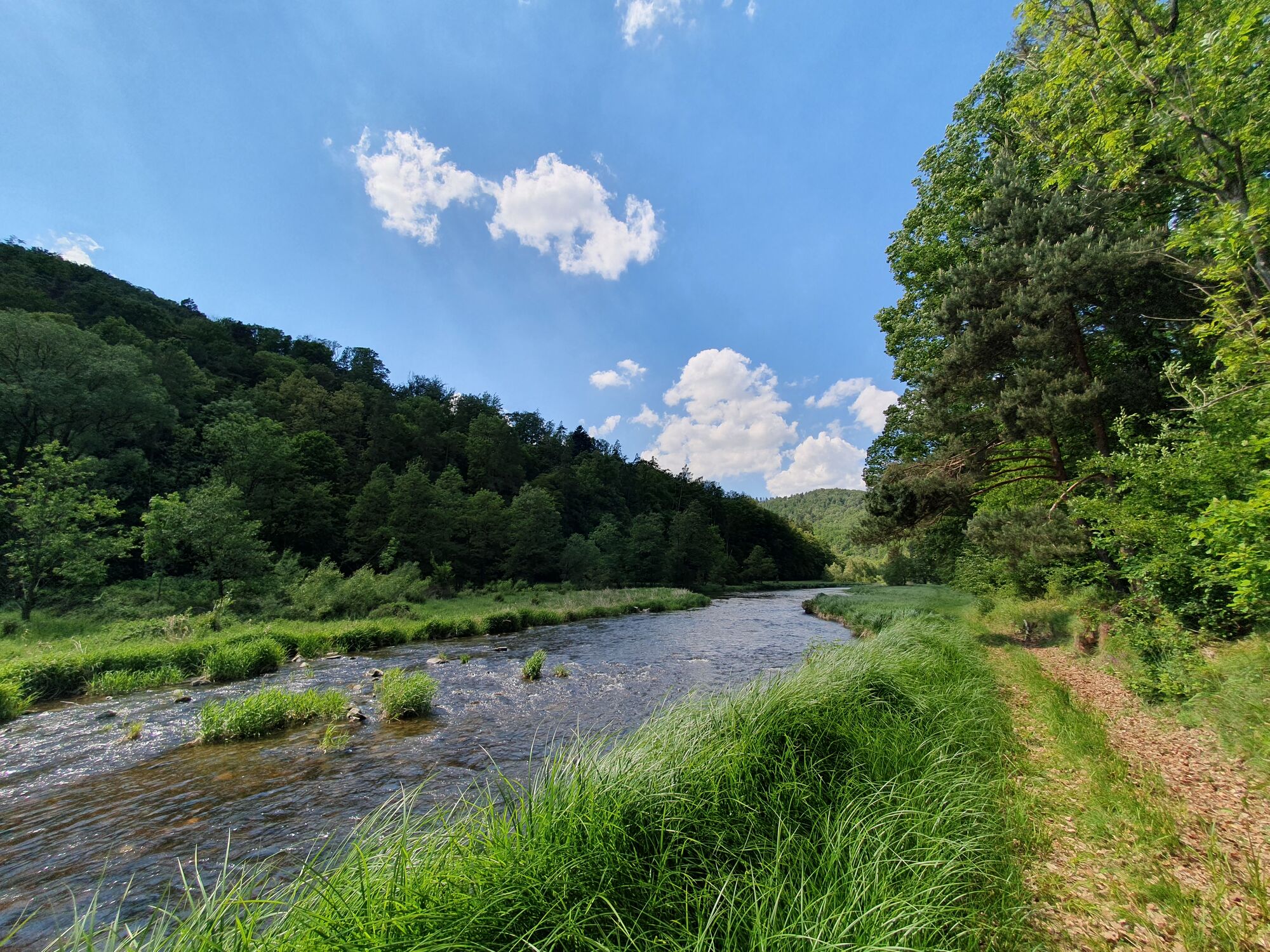
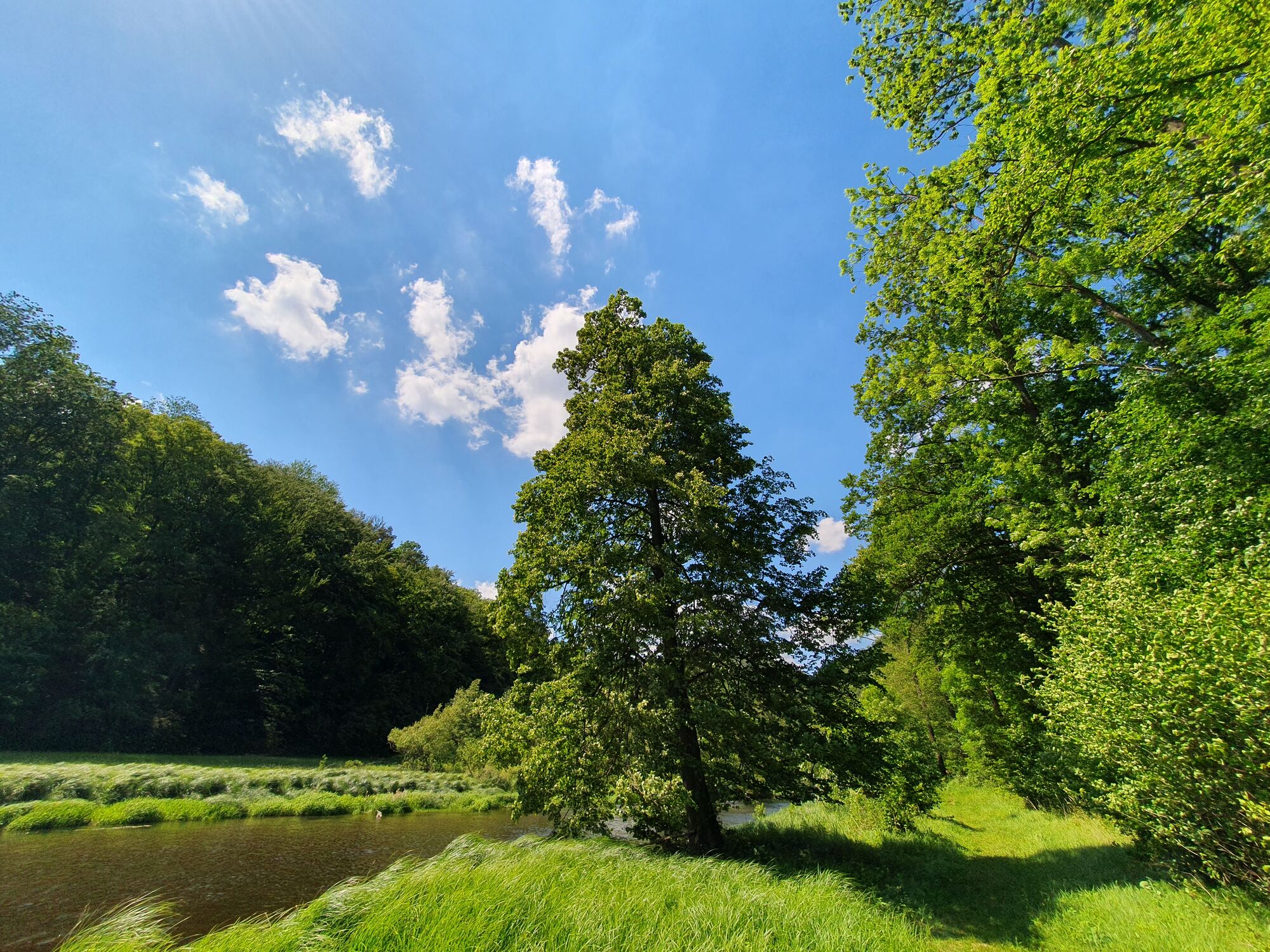
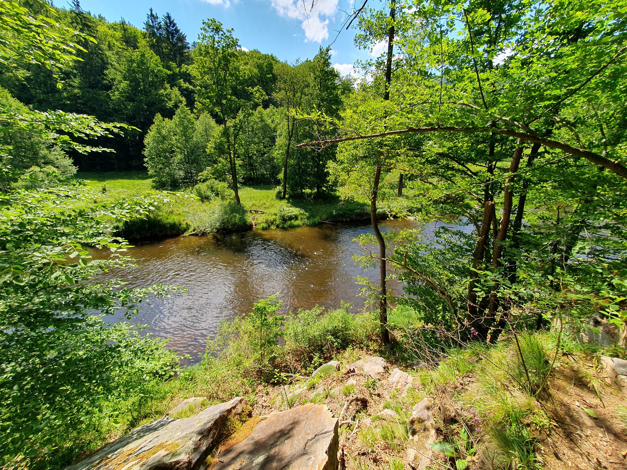
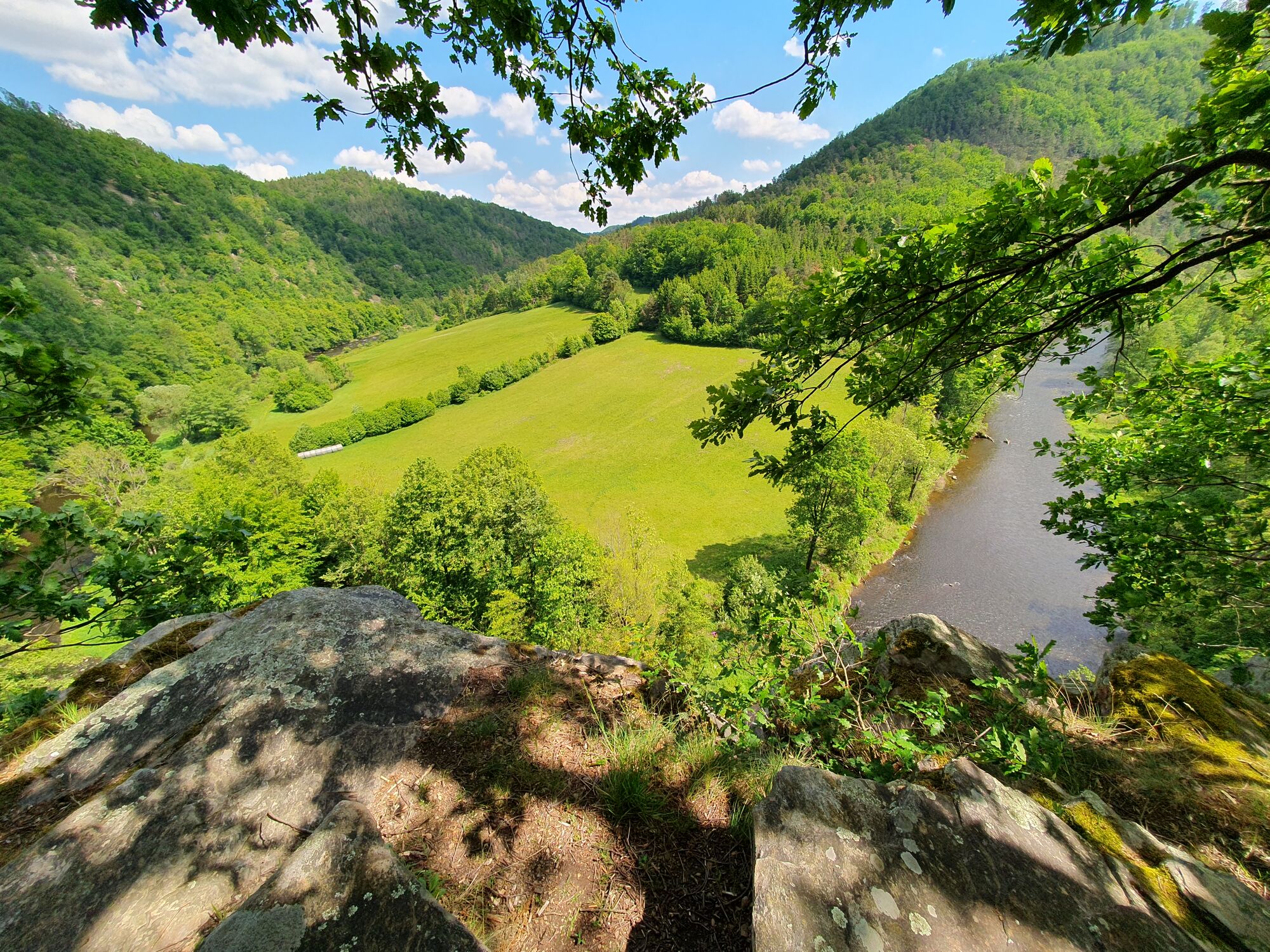
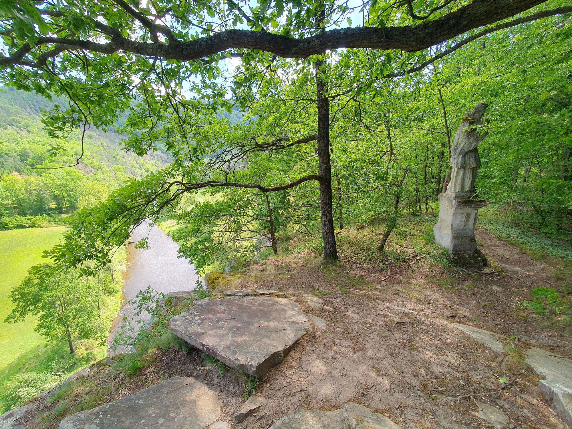
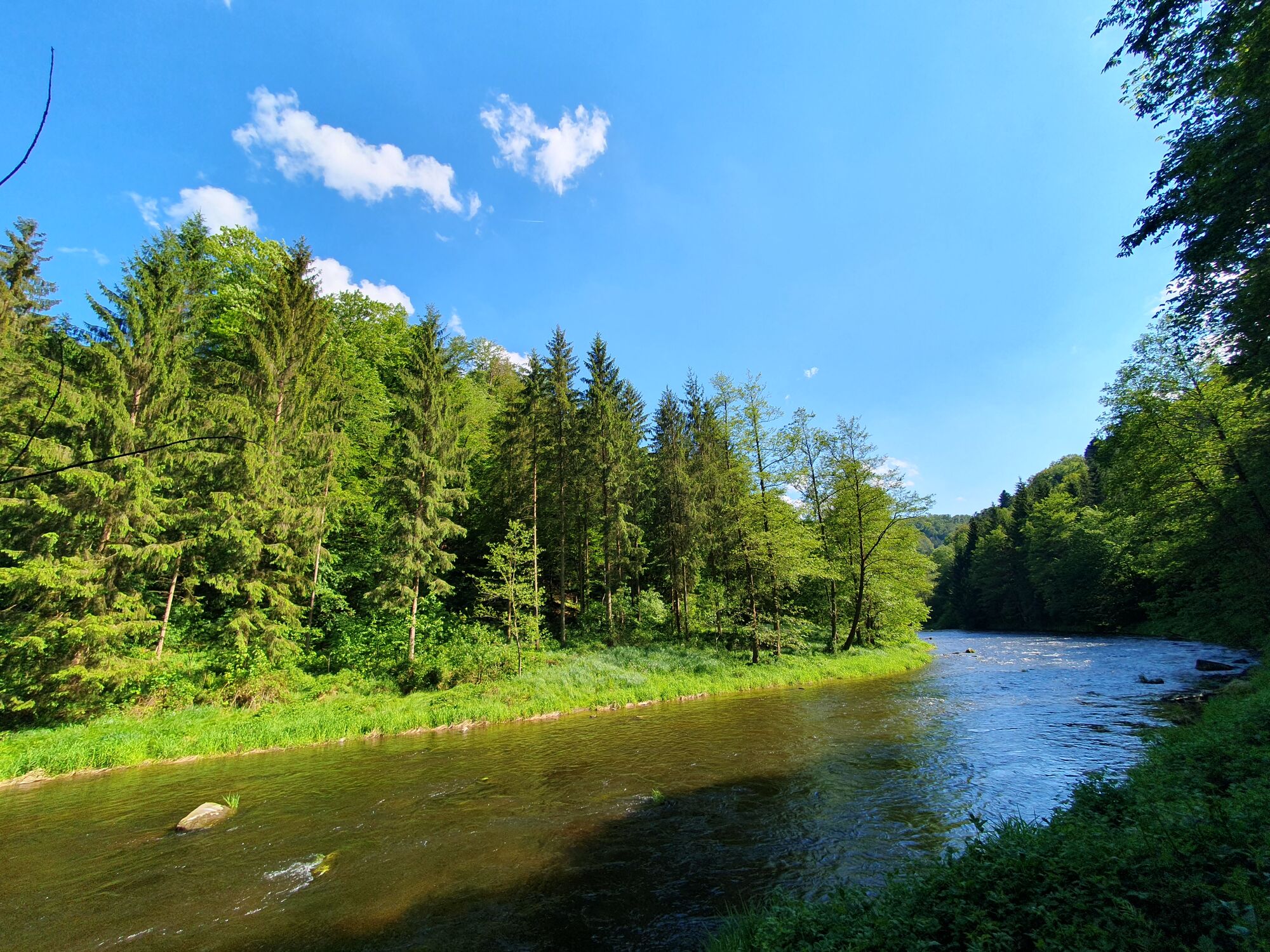
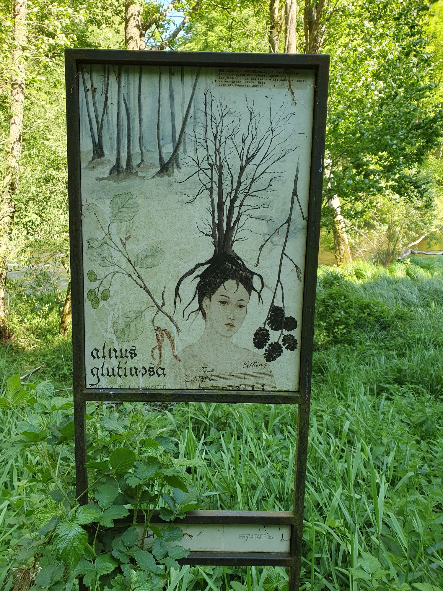
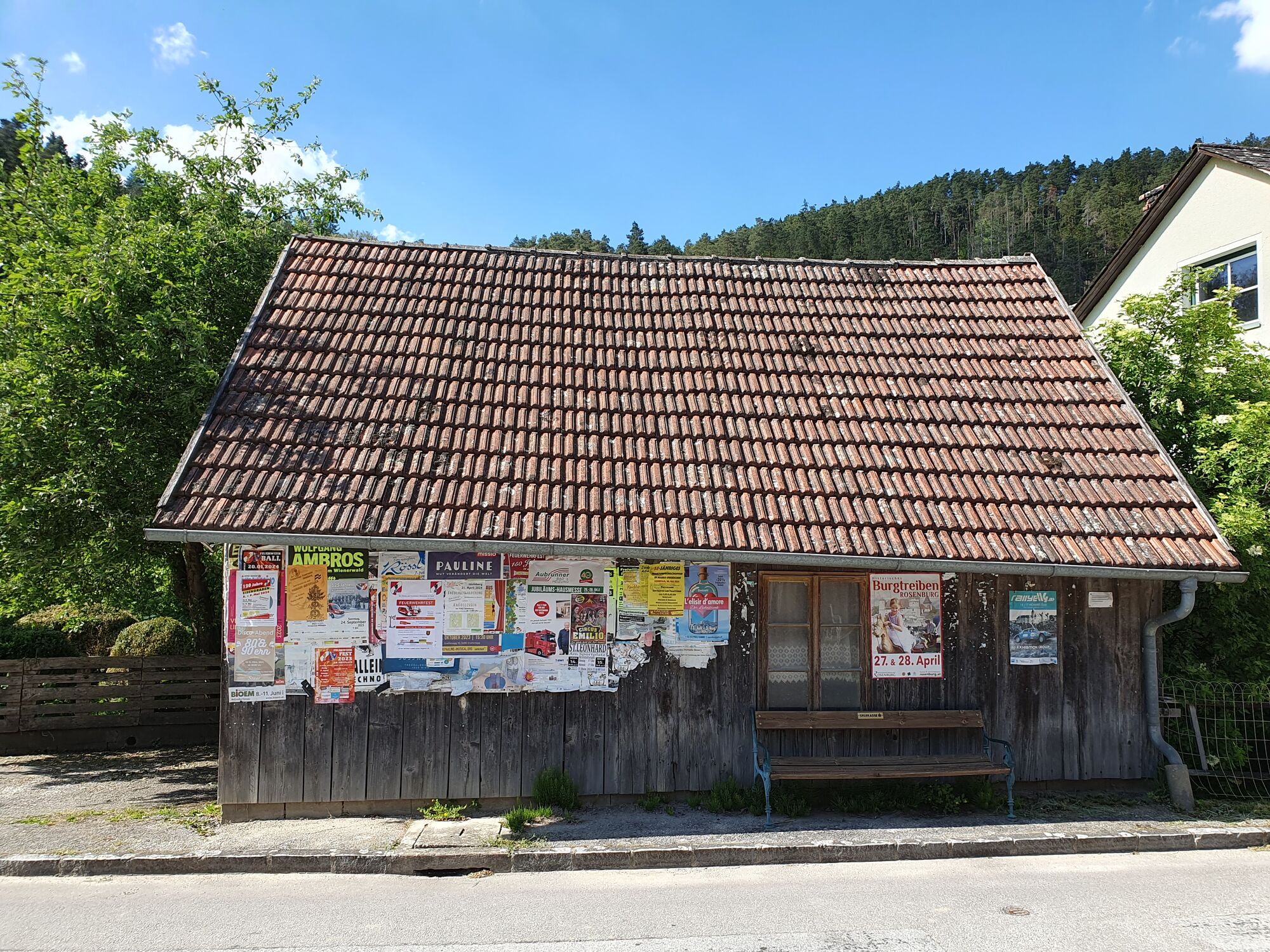
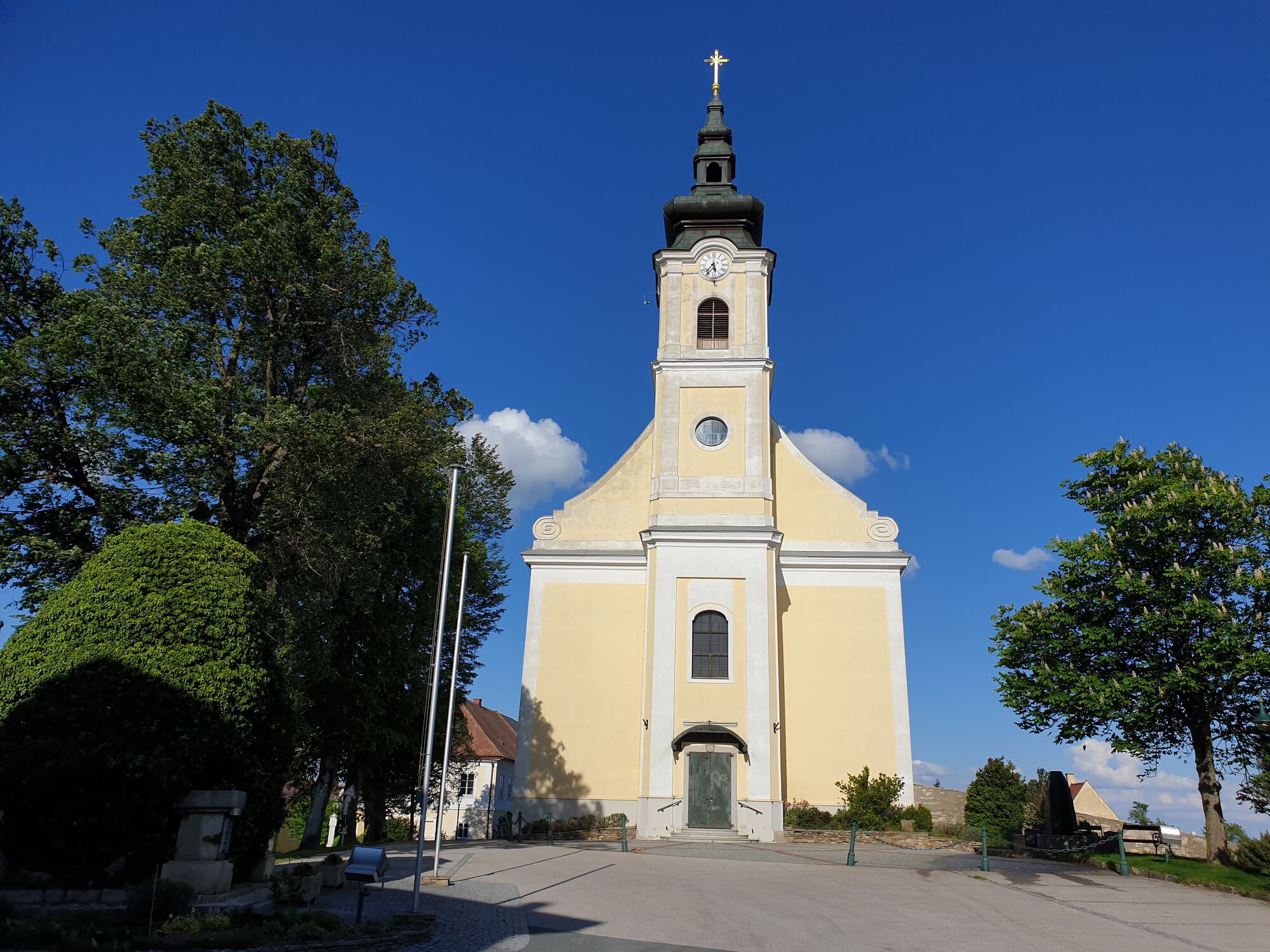
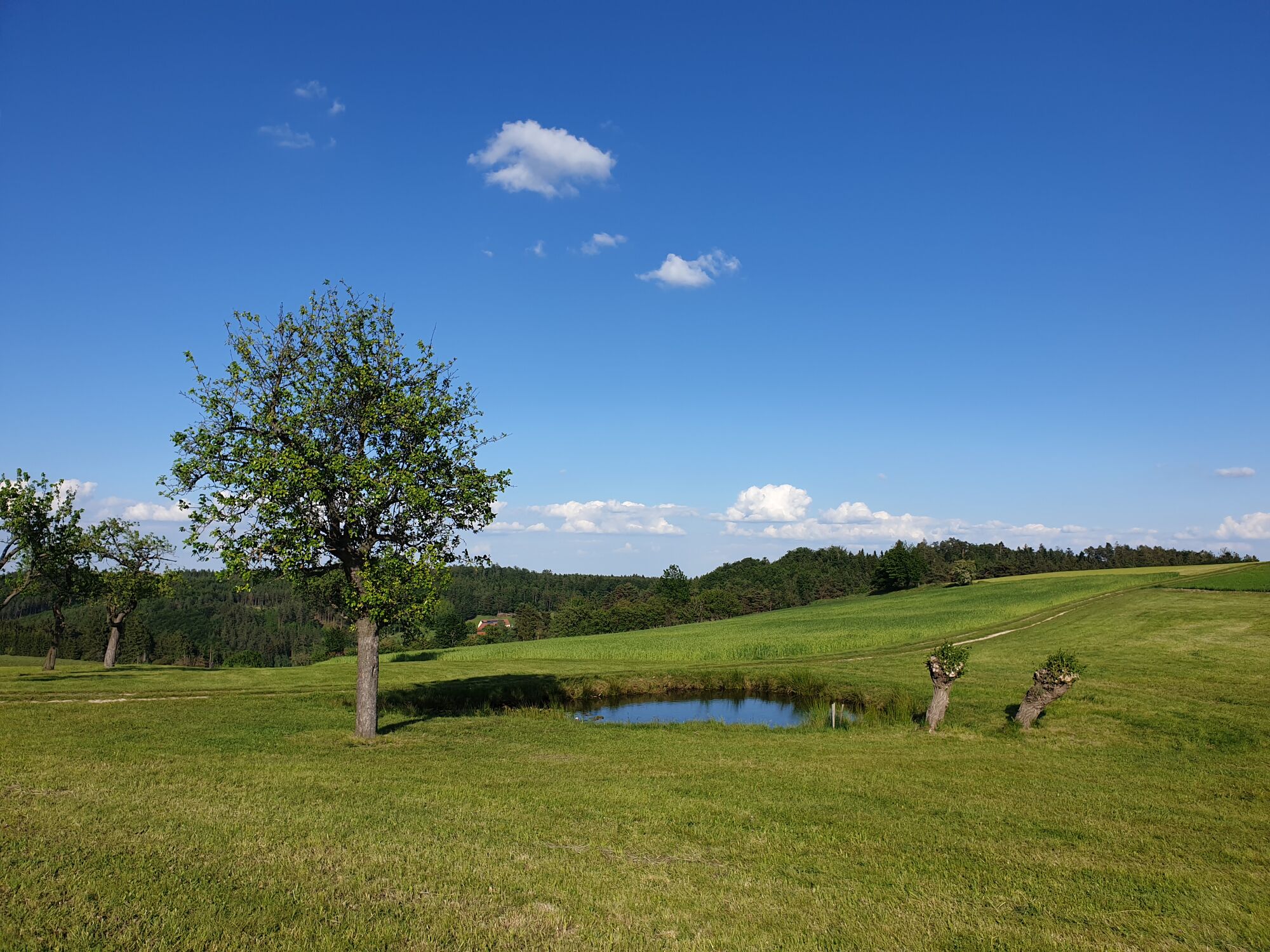
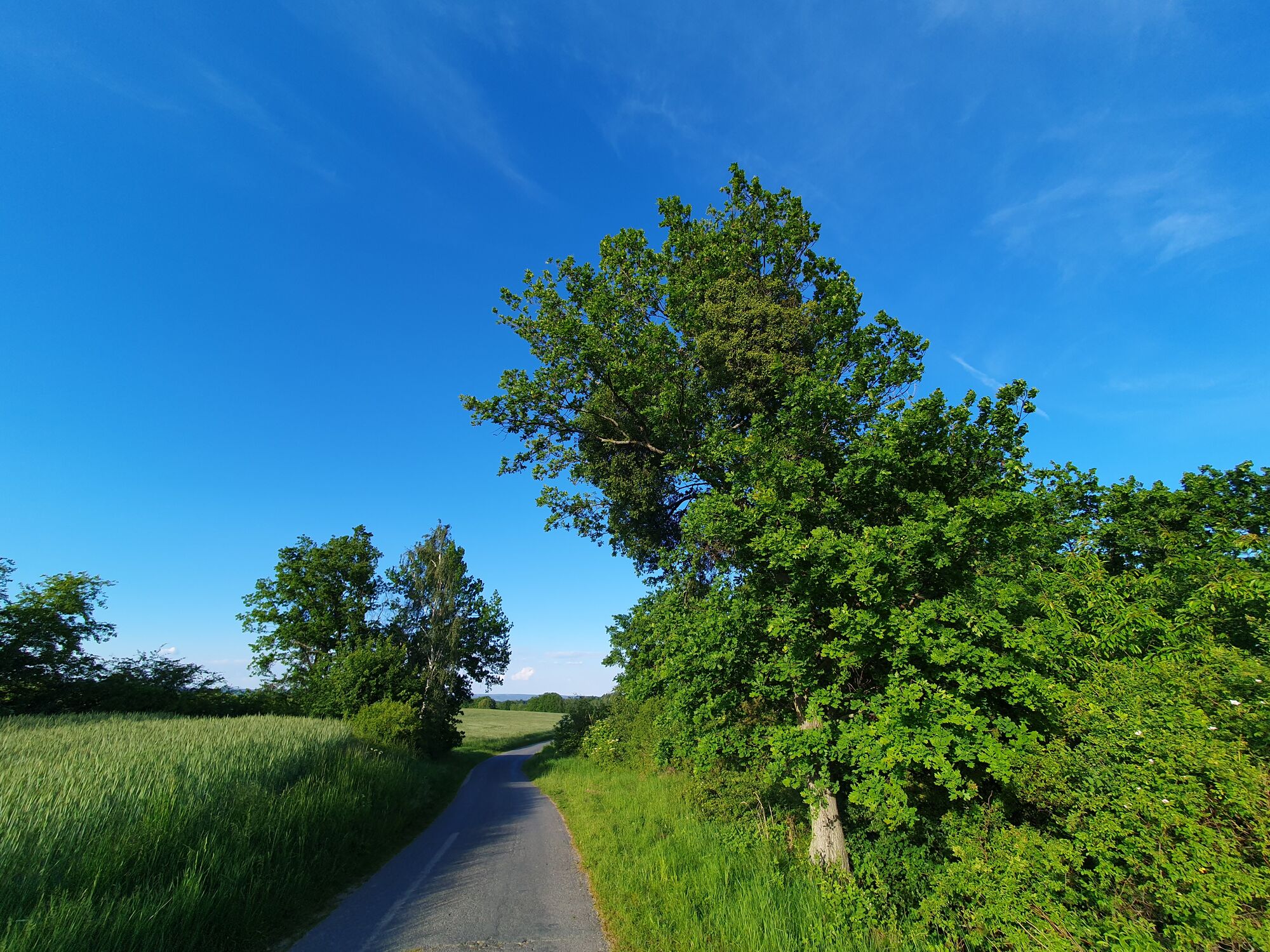
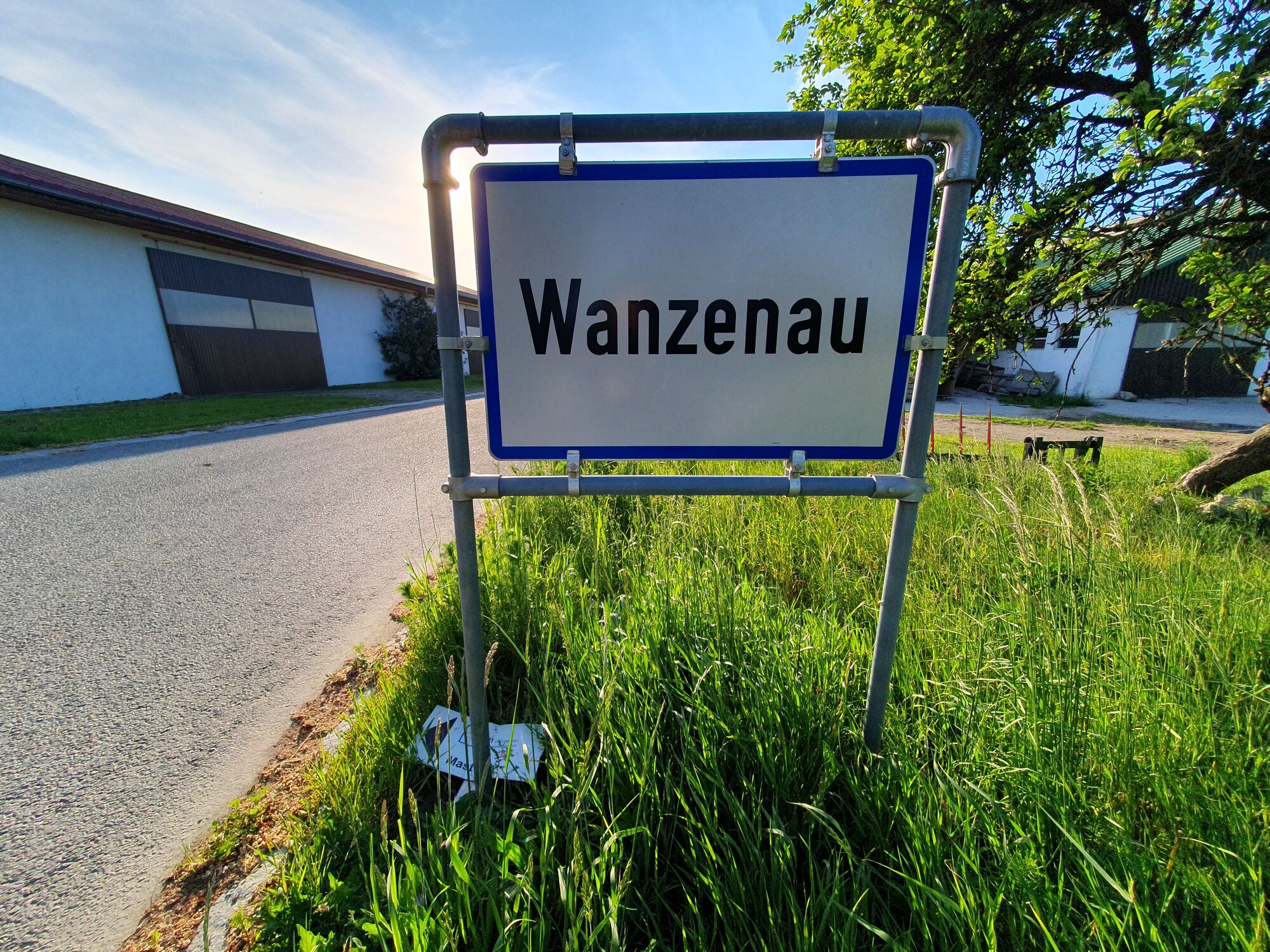
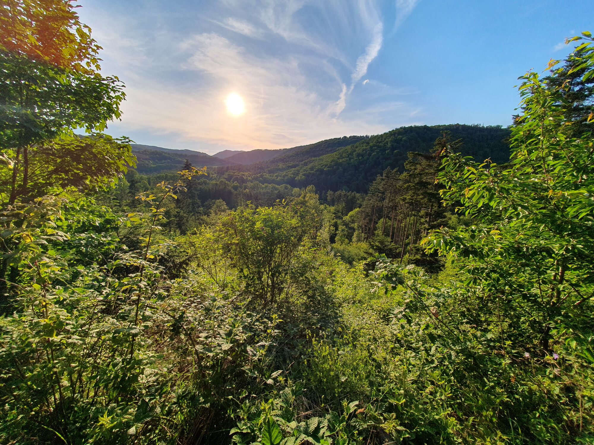
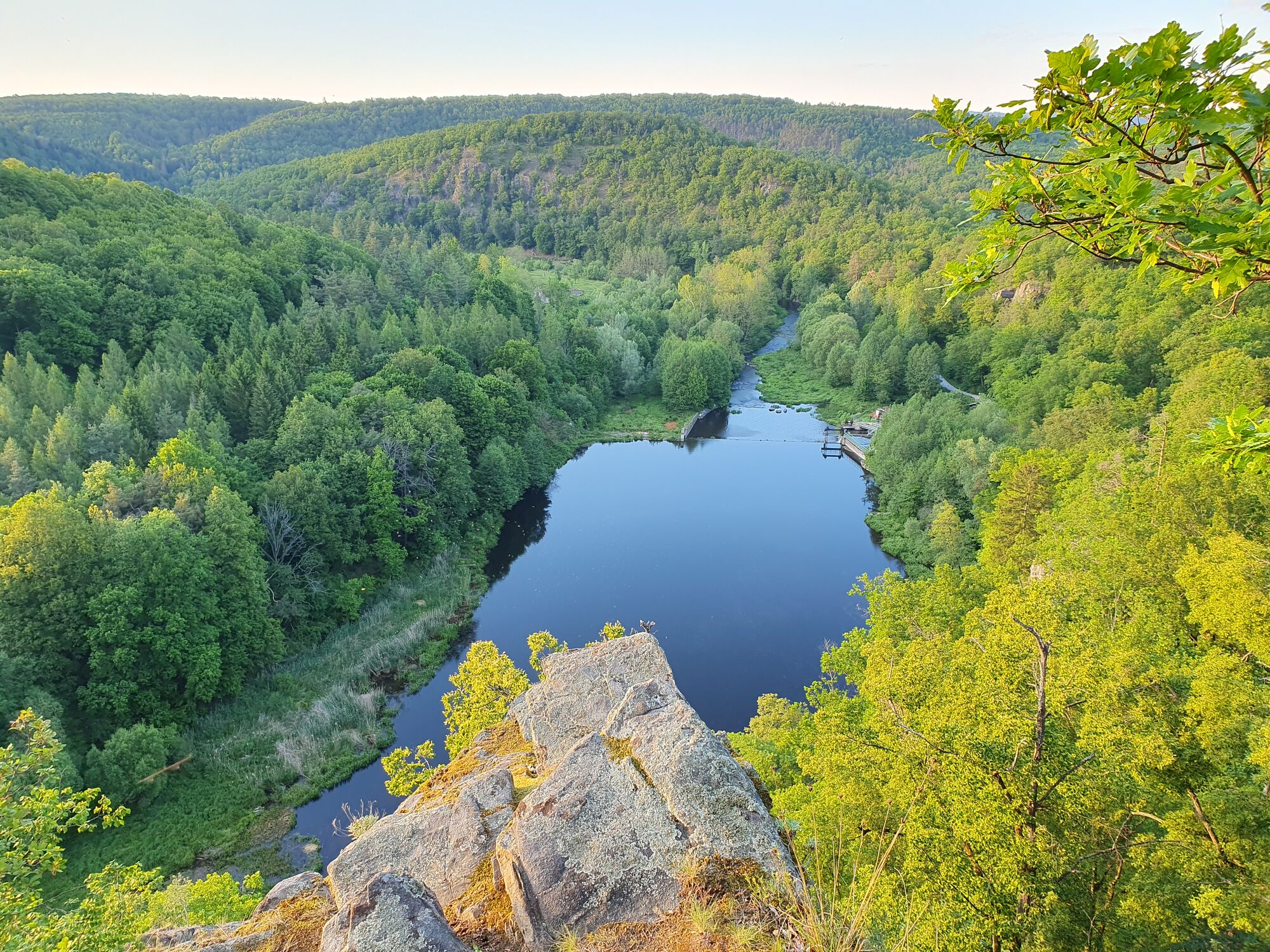
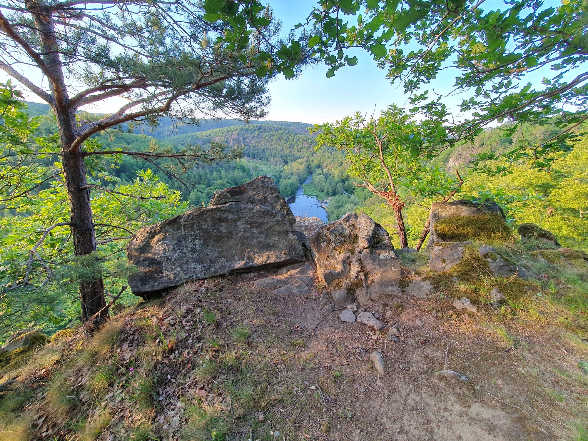
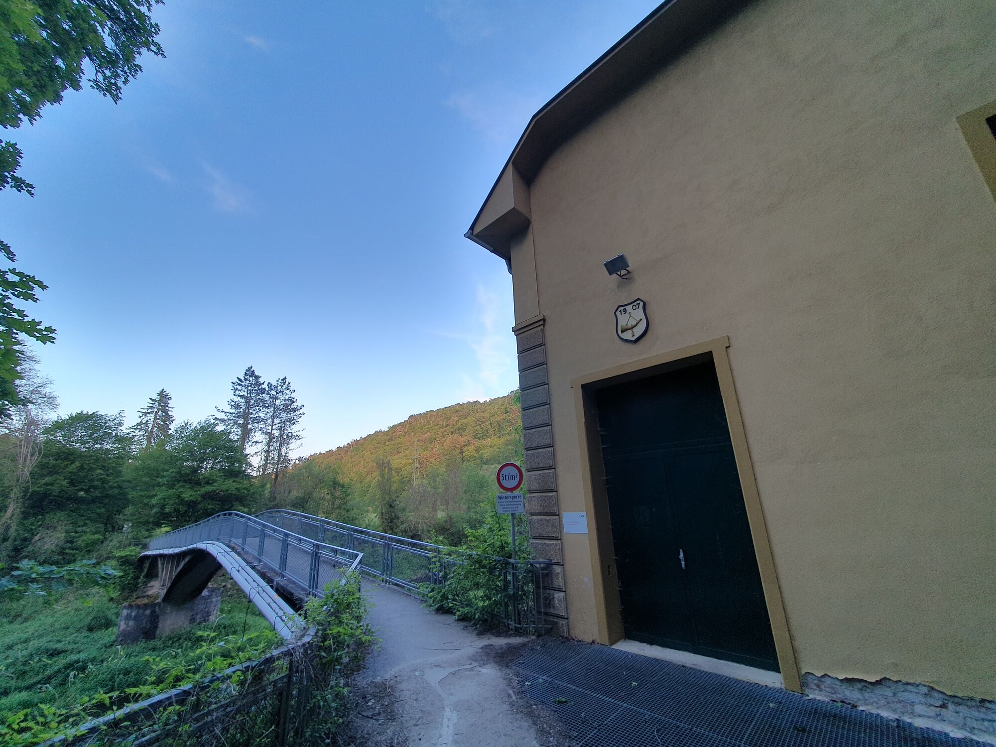

Ano
Ano
below the Rosenburg castle
Získejte přehled Vždy živě na místě s více než 9 500 webkamerami. bergfex Jako uživatel Pro si nyní můžete zobrazit odpovídající webové kamery pro mnoho prohlídek v aplikaci prohlídky z. Můžete si tak přímo prohlédnout aktuální podmínky. Oblíbené prohlídky v okolí
- 4.4
Kampseen Rundweg Thurnberg - Krumau am Kamp
světloTuristika 9.04 km - 4.2
Zwei Ruinen und ein Schloss
světloTuristika 7.25 km - 4.3
Gars am Kamp, Hirschbachrunde , Schimmelsprung und retour nach Unwetter 2024 Niederösterreich/Österreich
středníTuristika 8.91 km Dobrasee Strecke (Mountainbike Waldviertel)
Mountainbike 70.4 km- 5.0
Rosenburg-Steinegg Rosenburg, Niederösterreich
Turistika 18.5 km - 3.5
Rund um die Zienner Mühle (Kamp)
středníTuristika 10.3 km - 5.0
Rund um den Kühberg, Nr. 1
středníTuristika 10.2 km - 4.0
Zweibergewanderung ins Gföhleramt
středníTuristika 12.0 km - 4.5
Energie-Felsenweg
středníTuristika 8.57 km - 4.0
Teichrunde Schloss Waldreichs und Schlenkerer zum Kamp
světloTuristika 7.42 km
Pěší turistika a stopování


Nenechte si ujít nabídky a inspiraci pro vaši příští dovolenou
Vaše e-mailová adresa byl přidán do poštovního seznamu.





